Location Instance
API endpoint that allows Location instances to be viewed.
GET: Return a list of all the existing location instances.
FILTERS: Parameters - 'name', 'country_code', 'id' Example - /2.2.0/location/?country_code=USA
GET /2.2.0/location/147/?format=api
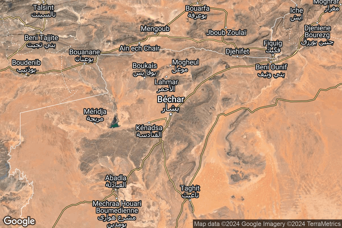
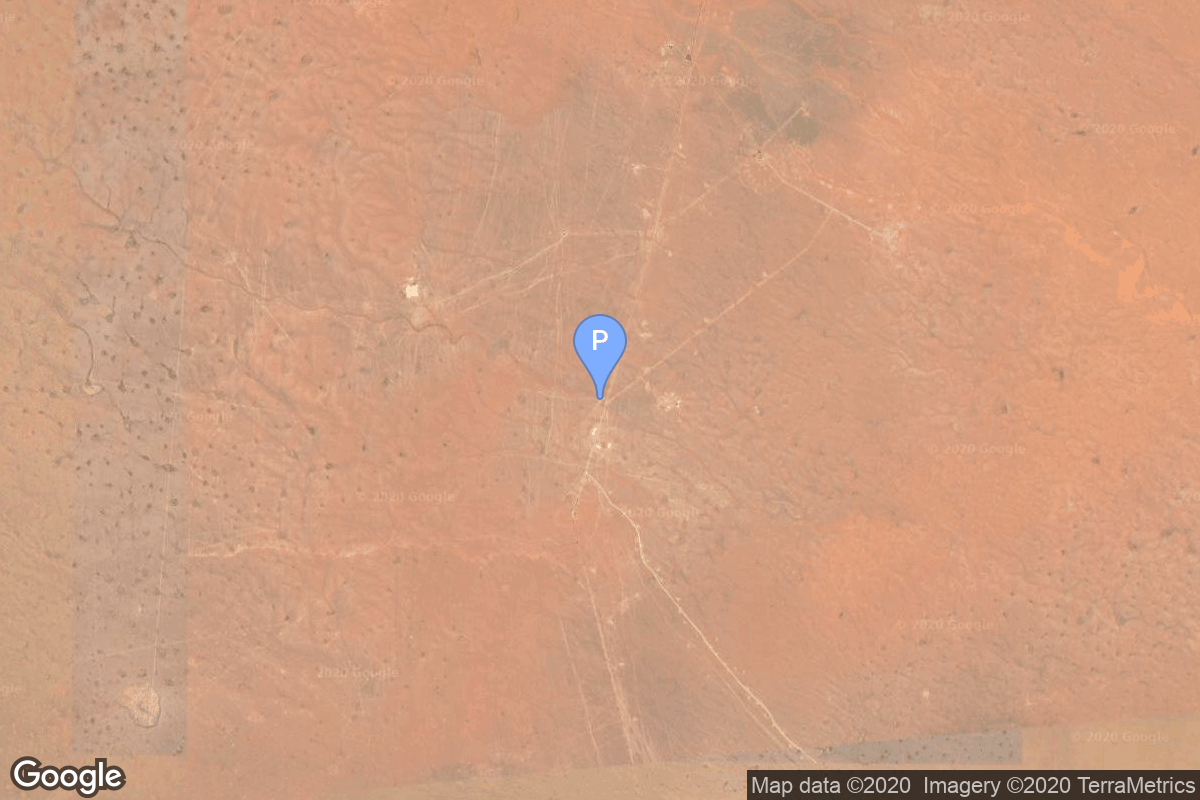
{ "id": 147, "name": "Interarmy Special Vehicles Test Centre, French Algeria", "country_code": "FRA", "description": "The Centre Interarmées d'Essais d'Engins Spéciaux was France's first space launch and ballistic missile testing facility. Outside France, the facility is often referred to by the name of the nearest town, Hammaguir. It was established on 24 April 1947, by ministerial decree as the Special Weapons Test Center (CEES, Centre d'essais d'engins spéciaux) for use by the French Army. In 1948, it was turned over to the French Air Force, who renamed it CIEES. Its remote location in the middle of the Saharan Desert and its relative closeness to the Equator (compared with Metropolitan France) made it an attractive launch site for missiles and orbital rockets.", "map_image": "https://thespacedevs-prod.nyc3.digitaloceanspaces.com/media/map_images/location_147_20240808092142.jpg", "timezone_name": "Africa/Algiers", "total_launch_count": 4, "total_landing_count": 0, "pads": [ { "id": 141, "url": "https://ll.thespacedevs.com/2.2.0/pad/141/?format=api", "agency_id": null, "name": "Brigitte", "description": null, "info_url": null, "wiki_url": "https://en.wikipedia.org/wiki/Hammaguir", "map_url": "https://www.google.com/maps?q=30.7787318,-3.0669721", "latitude": 30.7787318, "longitude": -3.0669721, "country_code": "FRA", "map_image": "https://thespacedevs-prod.nyc3.digitaloceanspaces.com/media/map_images/pad_141_20200803143211.jpg", "total_launch_count": 4 } ] }