Location List
Modes
Levels of detail in the response - normal, detailed
Example - /locations/?mode=detailed
Filters
Parameters - active, country_code, id, name, name__contains, total_landing_count, total_landing_count__gt, total_landing_count__gte, total_landing_count__lt, total_landing_count__lte, total_launch_count, total_launch_count__gt, total_launch_count__gte, total_launch_count__lt, total_launch_count__lte
Example - /locations/?country_code=NZL
Search
Fields searched - country__alpha_3_code, name
Example - /locations/?search=Cape Canaveral
Ordering
Fields - total_landing_count, total_launch_count
Example - /locations/?ordering=-total_launch_count
Number of results
Use limit to control the number of objects in the response (max 100)
Example - /locations/?limit=2
Format
Switch to JSON output - /locations/?format=json
Help
Find all the FAQs and support links on the documentation homepage - ll.thespacedevs.com/docs
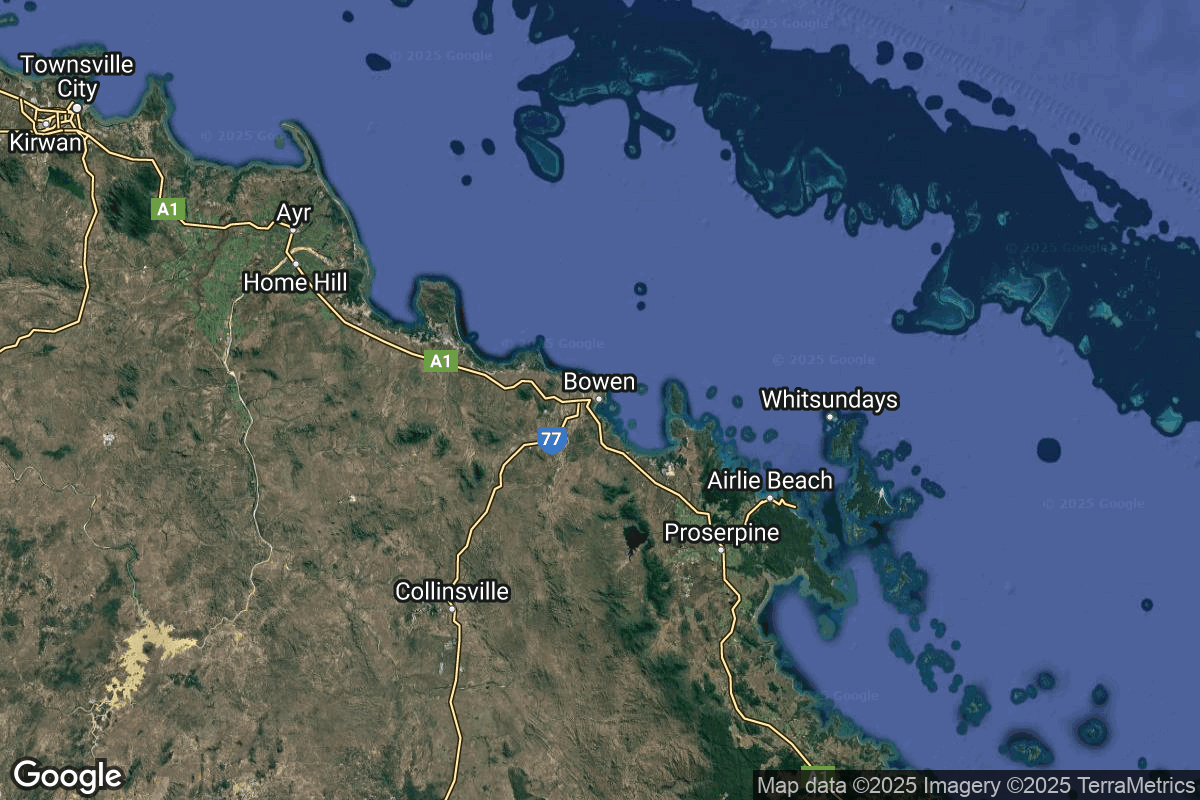
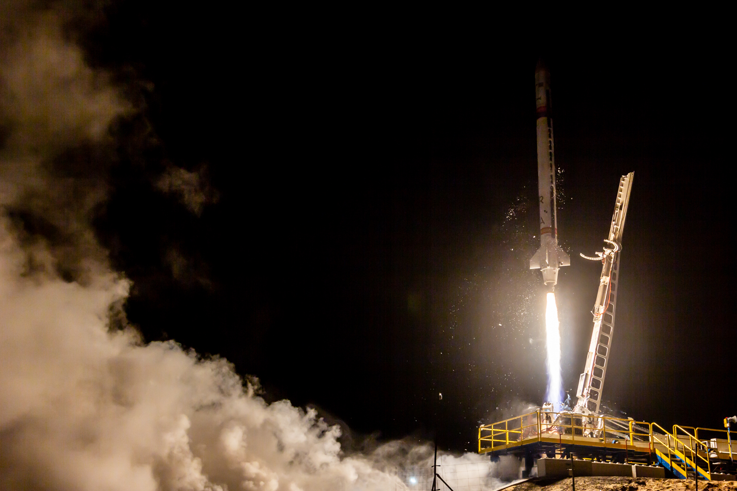
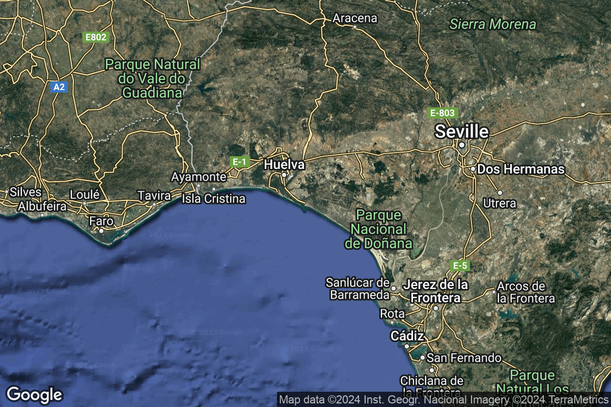
GET /2.3.0/locations/?format=api&offset=40&ordering=total_landing_count
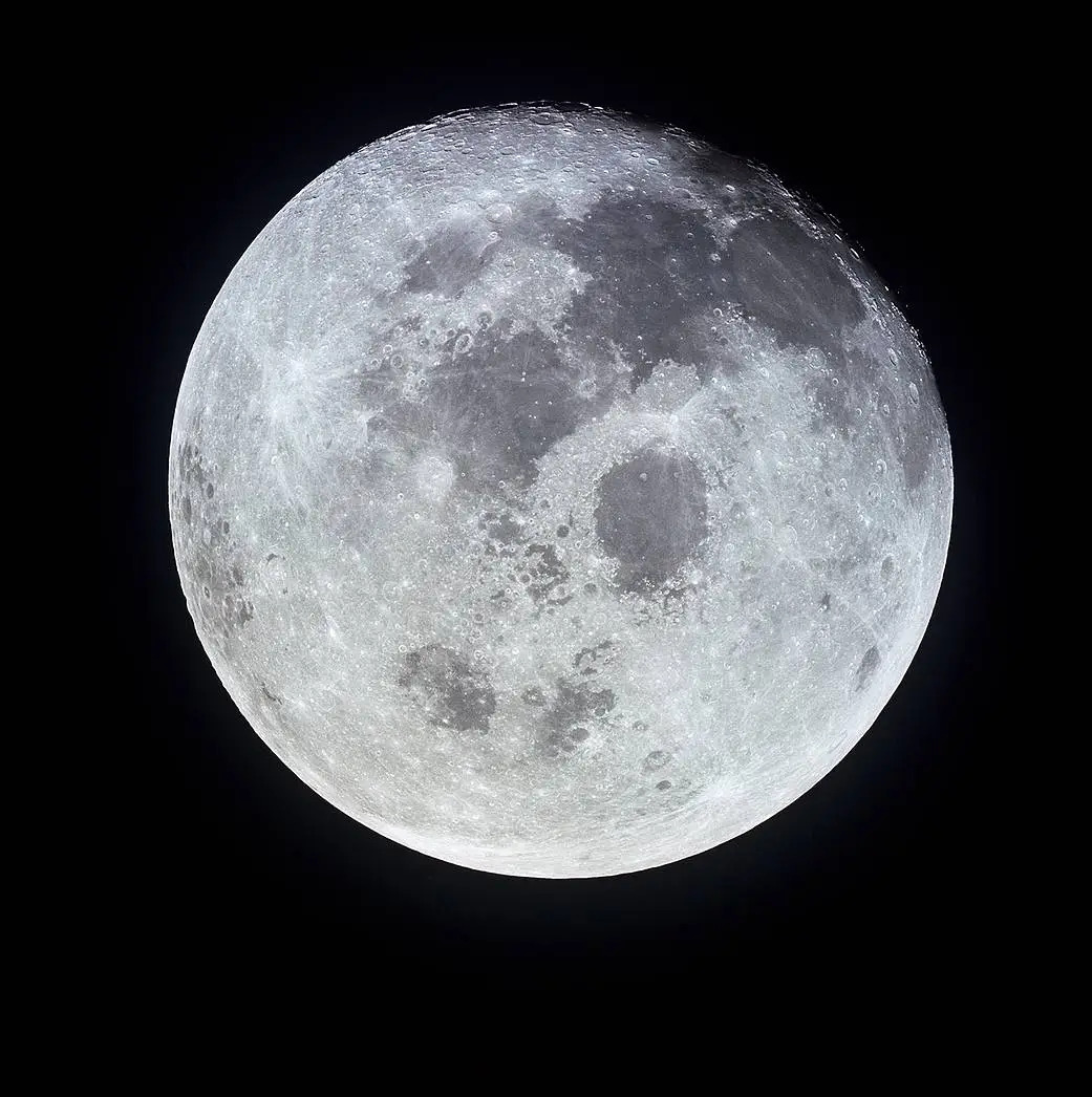
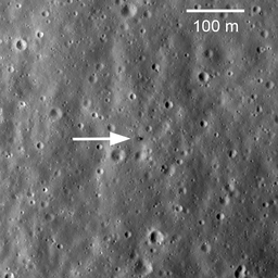
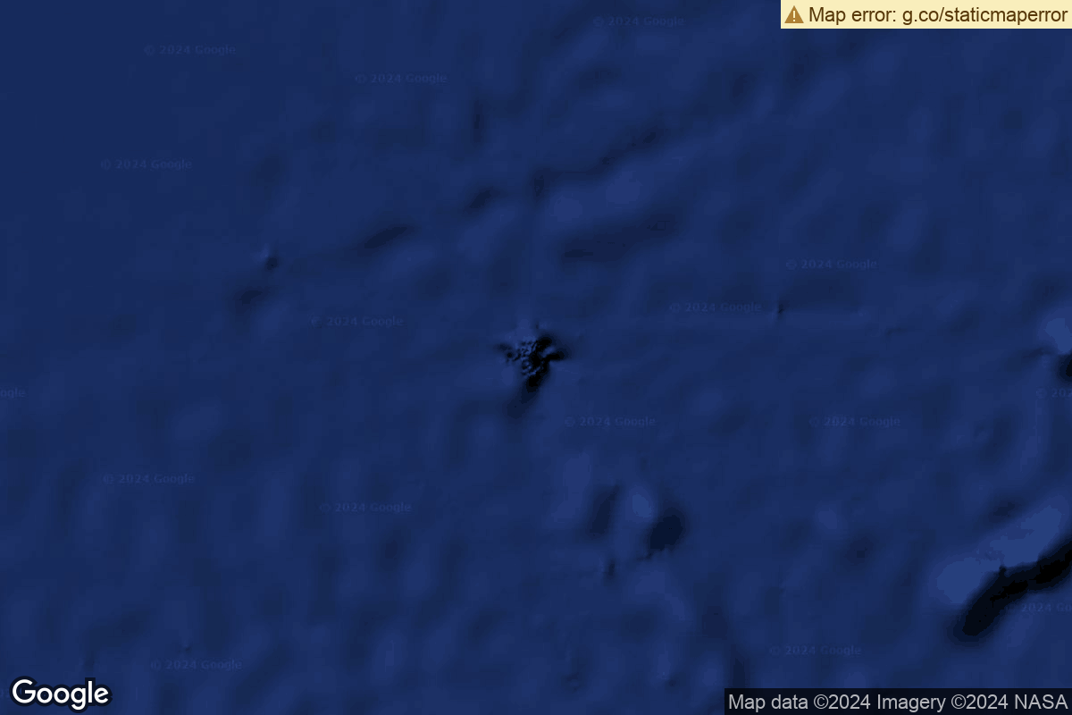
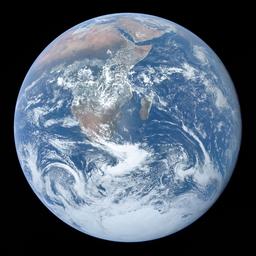
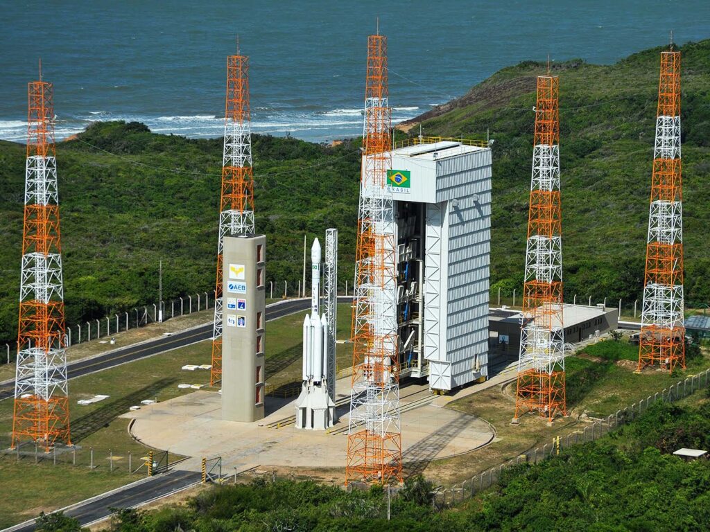
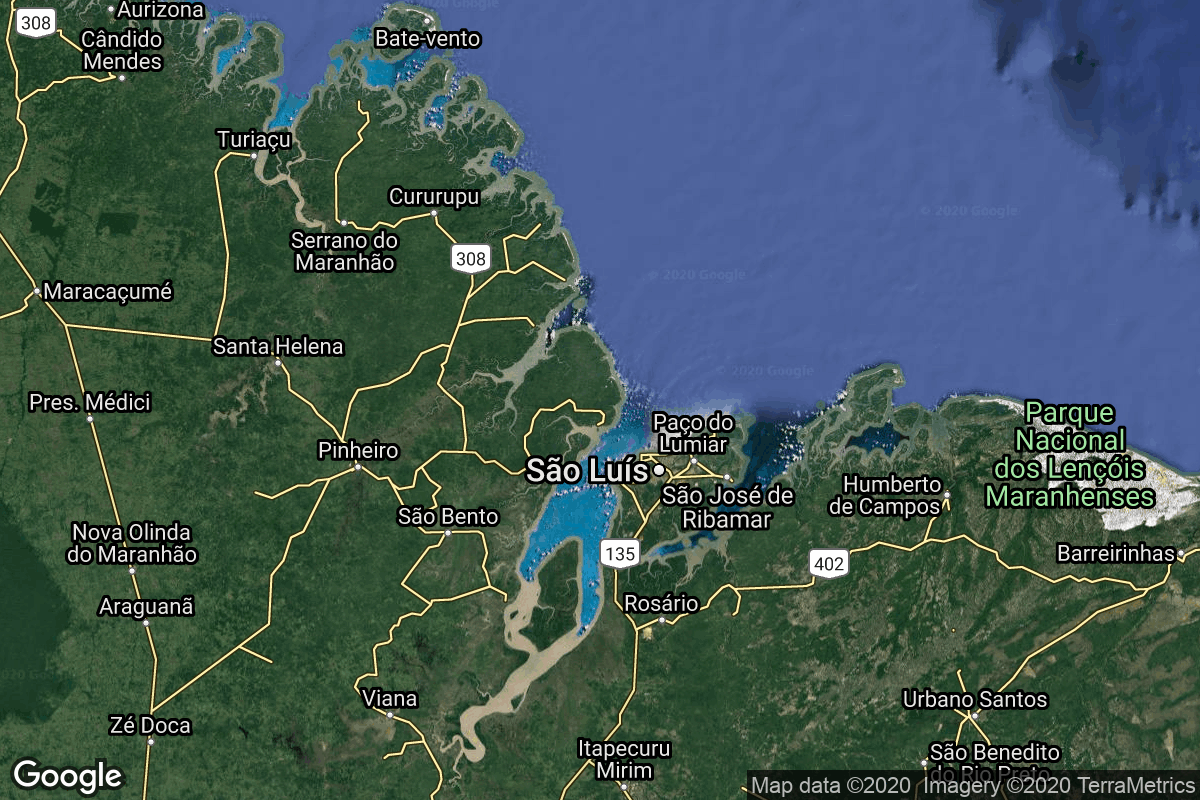
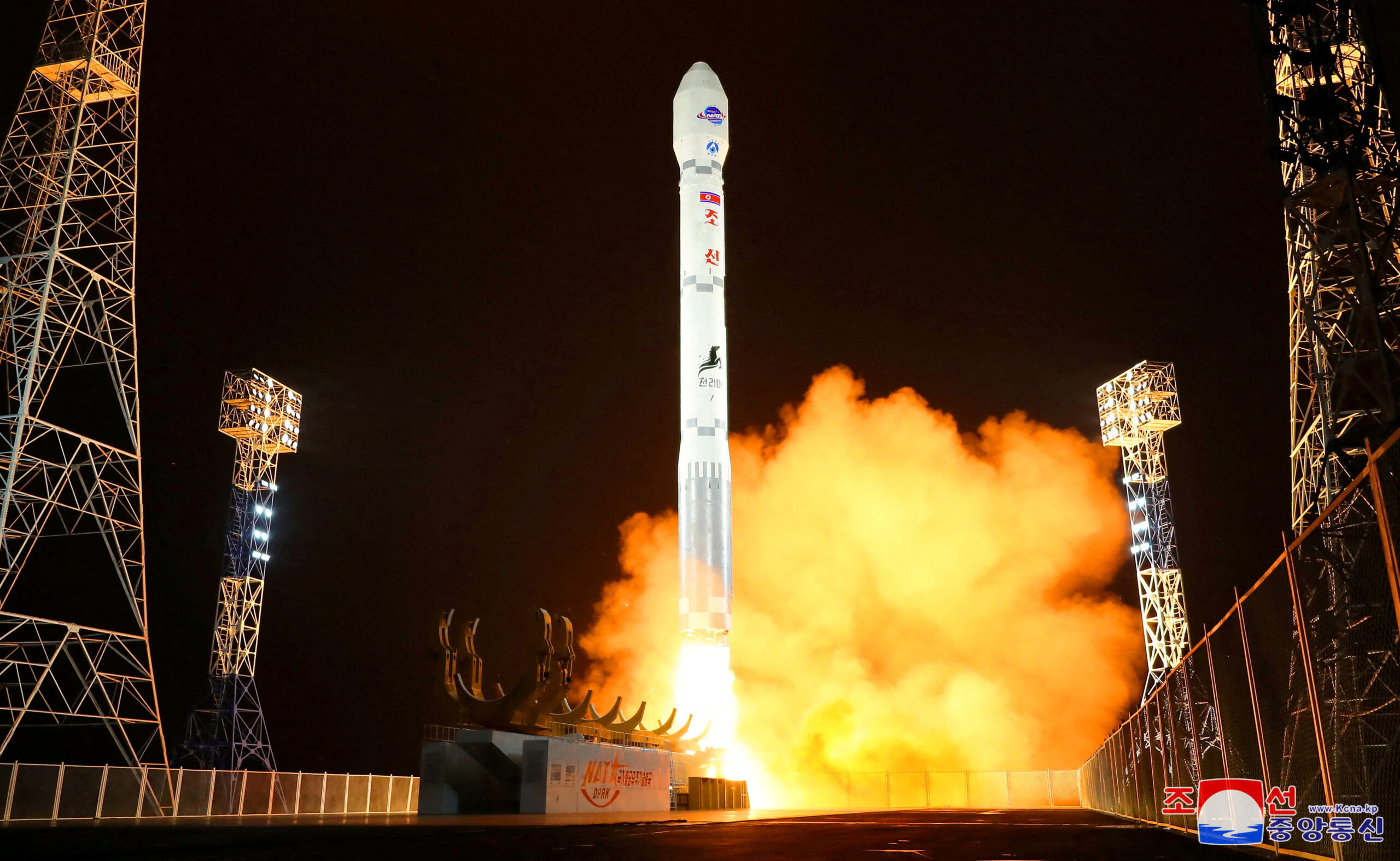
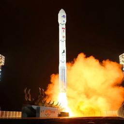
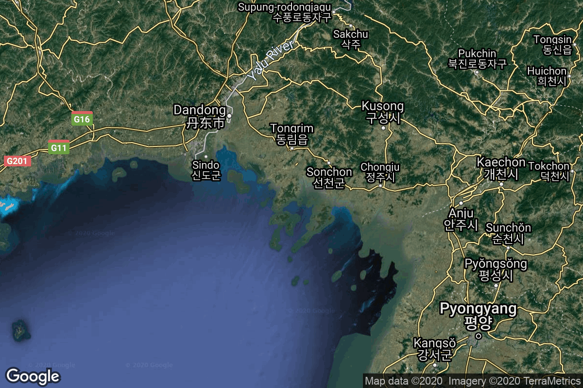
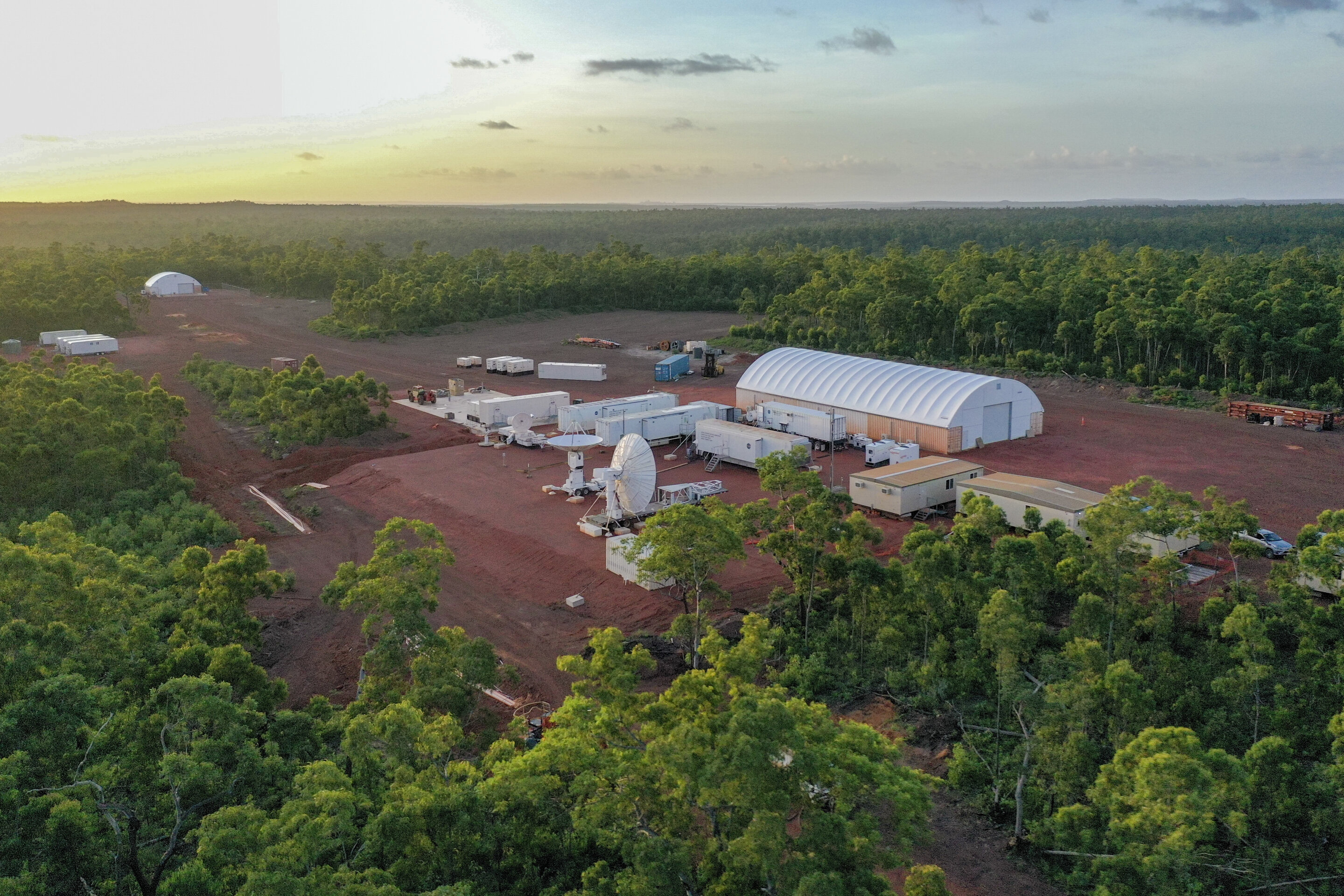
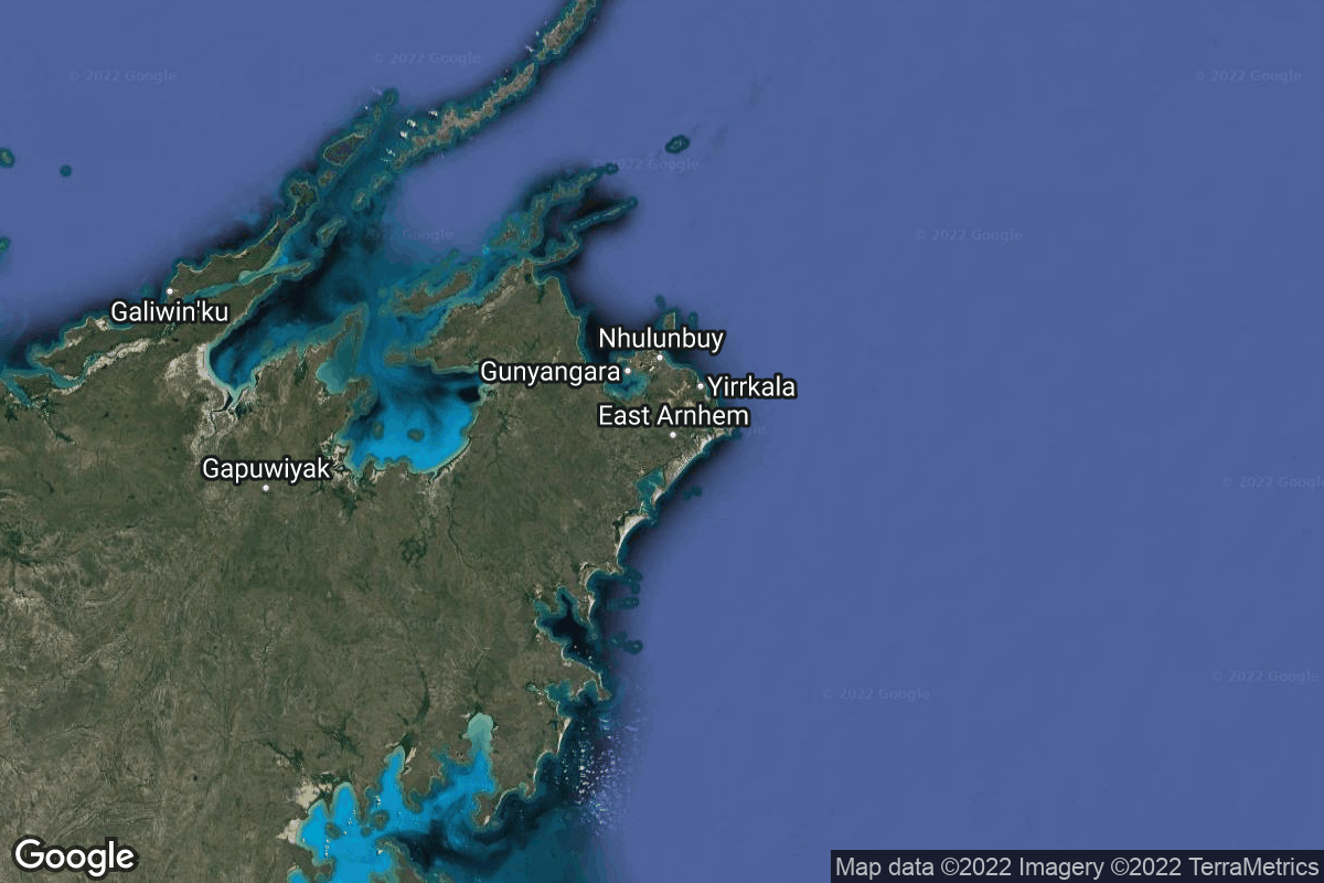
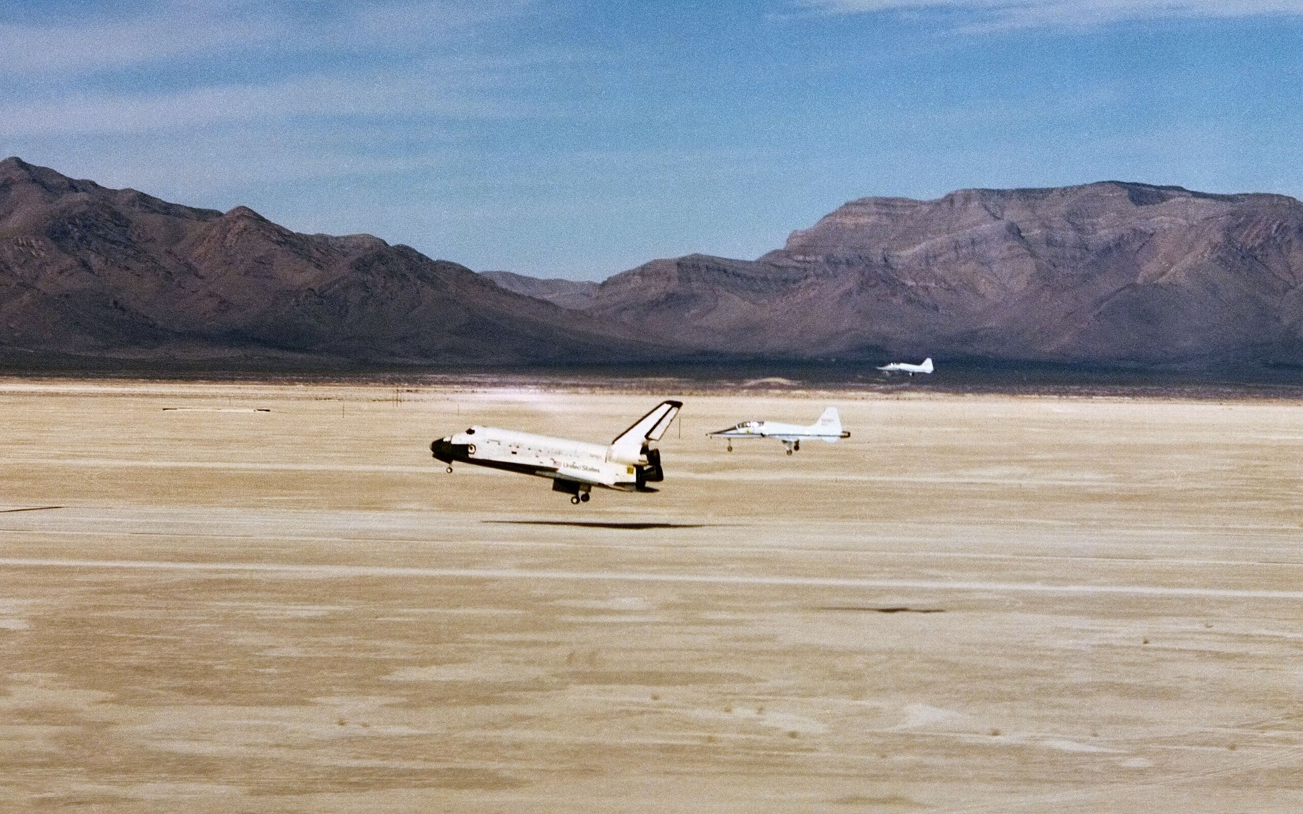
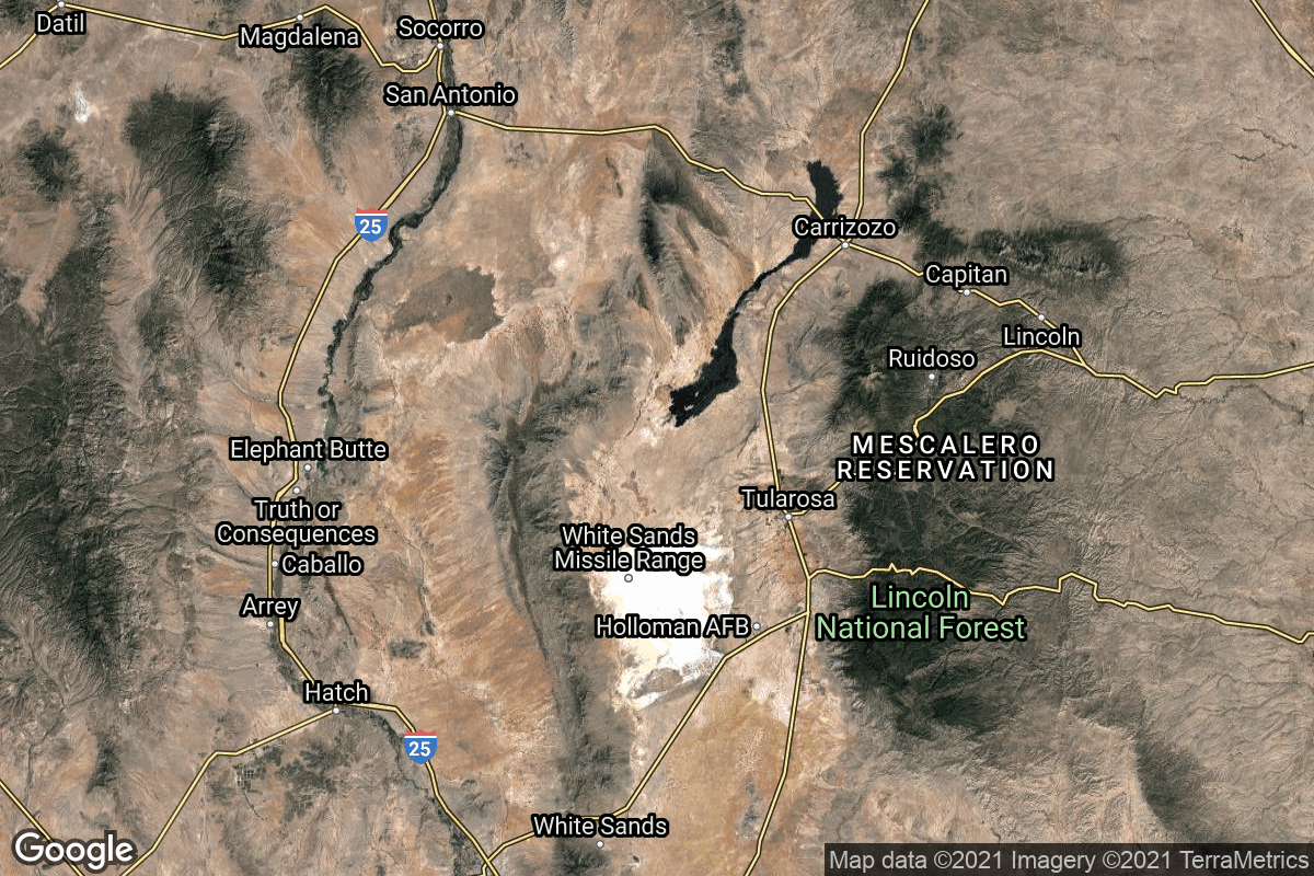
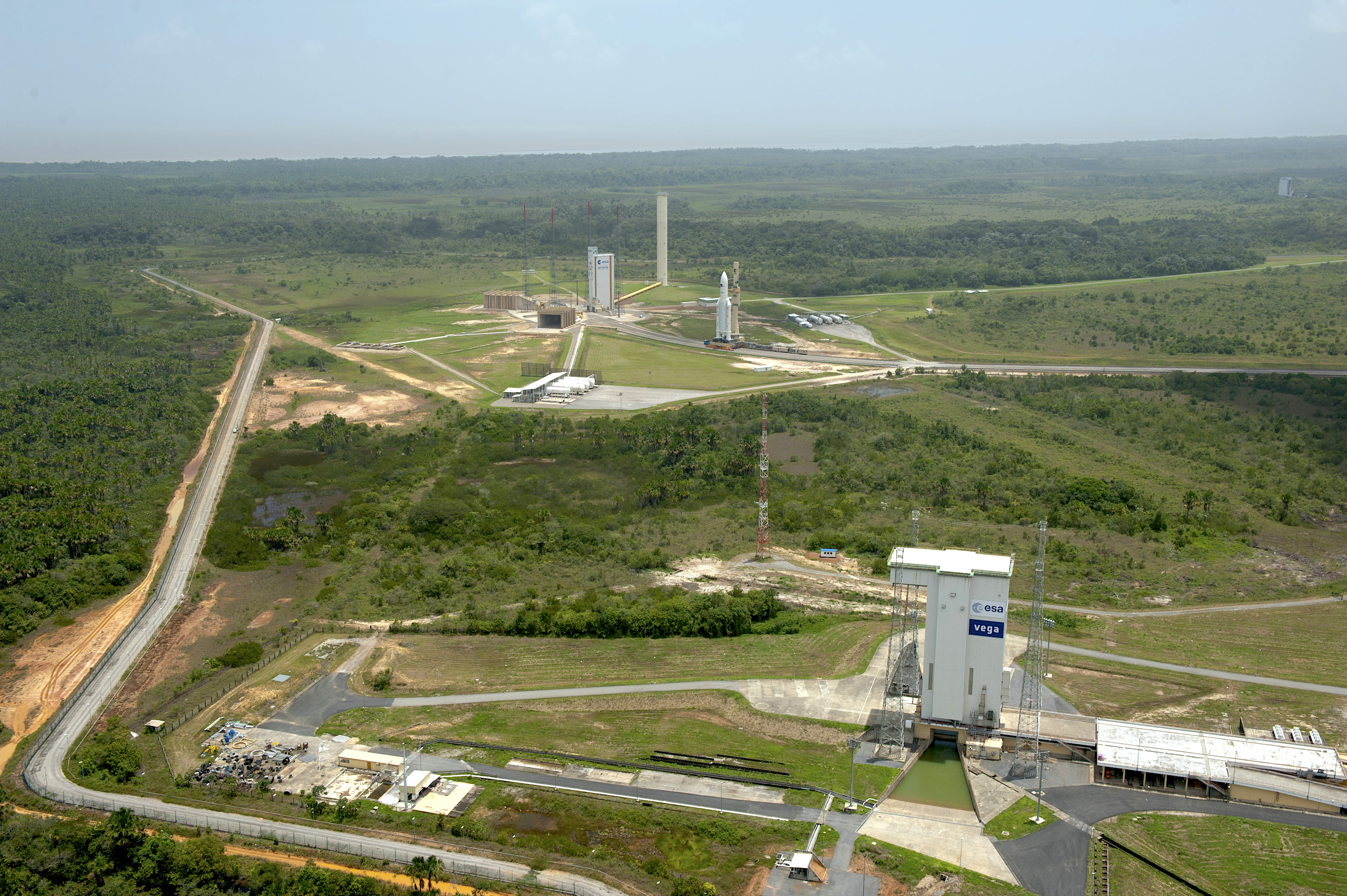
{ "count": 66, "next": "https://ll.thespacedevs.com/2.3.0/locations/?format=api&limit=10&offset=50&ordering=total_landing_count", "previous": "https://ll.thespacedevs.com/2.3.0/locations/?format=api&limit=10&offset=30&ordering=total_landing_count", "results": [ { "response_mode": "normal", "id": 174, "url": "https://ll.thespacedevs.com/2.3.0/locations/174/?format=api", "name": "Terra Apollonius, Moon", "celestial_body": { "response_mode": "normal", "id": 2, "name": "Moon", "type": { "id": 2, "name": "Moon" }, "diameter": 3474800.0, "mass": 7.342e+22, "gravity": 1.622, "length_of_day": "27 07:43:12", "atmosphere": false, "image": { "id": 2041, "name": "Moon (Apollo 11)", "image_url": "https://thespacedevs-prod.nyc3.digitaloceanspaces.com/media/images/moon_2528apoll_image_20240402195408.jpg", "thumbnail_url": "https://thespacedevs-prod.nyc3.digitaloceanspaces.com/media/images/moon_2528apoll_image_thumbnail_20240402195408.jpeg", "credit": "NASA", "license": { "id": 4, "name": "NASA Image and Media Guidelines", "priority": 0, "link": "https://www.nasa.gov/nasa-brand-center/images-and-media/" }, "single_use": false, "variants": [] }, "description": "The Moon is Earth's only natural satellite.", "wiki_url": "https://en.wikipedia.org/wiki/Moon", "total_attempted_launches": 11, "successful_launches": 11, "failed_launches": 0, "total_attempted_landings": 17, "successful_landings": 14, "failed_landings": 3 }, "active": false, "country": null, "description": "Mountainous area near Mare Fecunditatis (Sea of Fertility).", "image": { "id": 2166, "name": "Luna 20 landing site at Terra Apollonius seen from LRO", "image_url": "https://thespacedevs-prod.nyc3.digitaloceanspaces.com/media/images/luna_20_landing_image_20240813080158.png", "thumbnail_url": "https://thespacedevs-prod.nyc3.digitaloceanspaces.com/media/images/luna_20_landing_image_thumbnail_20240813080159.png", "credit": "NASA", "license": { "id": 4, "name": "NASA Image and Media Guidelines", "priority": 0, "link": "https://www.nasa.gov/nasa-brand-center/images-and-media/" }, "single_use": false, "variants": [] }, "map_image": "https://thespacedevs-prod.nyc3.digitaloceanspaces.com/media/map_images/location_luna_20_landing_site252c_terra_apollonius252c_moon_20240813034436.jpg", "longitude": 56.6242, "latitude": 3.7863, "timezone_name": "", "total_launch_count": 1, "total_landing_count": 0 }, { "response_mode": "normal", "id": 150, "url": "https://ll.thespacedevs.com/2.3.0/locations/150/?format=api", "name": "Alcântara Space Center, Federative Republic of Brazil", "celestial_body": { "response_mode": "normal", "id": 1, "name": "Earth", "type": { "id": 1, "name": "Planet" }, "diameter": 12742000.0, "mass": 5.972168e+24, "gravity": 9.80655, "length_of_day": "1 00:00:00", "atmosphere": true, "image": { "id": 2040, "name": "Earth (Apollo 17)", "image_url": "https://thespacedevs-prod.nyc3.digitaloceanspaces.com/media/images/earth_2528apol_image_20240402194304.jpeg", "thumbnail_url": "https://thespacedevs-prod.nyc3.digitaloceanspaces.com/media/images/earth_2528apol_image_thumbnail_20240402194305.jpeg", "credit": "NASA", "license": { "id": 4, "name": "NASA Image and Media Guidelines", "priority": 0, "link": "https://www.nasa.gov/nasa-brand-center/images-and-media/" }, "single_use": true, "variants": [] }, "description": "Earth is the third planet from the Sun and the only astronomical object known to harbor life.", "wiki_url": "https://en.wikipedia.org/wiki/Earth", "total_attempted_launches": 7188, "successful_launches": 6643, "failed_launches": 545, "total_attempted_landings": 1129, "successful_landings": 1084, "failed_landings": 45 }, "active": true, "country": { "id": 24, "name": "Brazil", "alpha_2_code": "BR", "alpha_3_code": "BRA", "nationality_name": "Brazilian", "nationality_name_composed": "Brazilian" }, "description": "The Alcântara Space Center, formerly known as Alcântara Launch Center is a space center and launching facility of the Brazilian Space Agency in the city of Alcântara, located on Brazil's northern Atlantic coast, in the state of Maranhão.", "image": { "id": 2136, "name": "VLS Pad at the Alcântara Space Center", "image_url": "https://thespacedevs-prod.nyc3.digitaloceanspaces.com/media/images/vls_pad_at_the__image_20240808093113.jpeg", "thumbnail_url": "https://thespacedevs-prod.nyc3.digitaloceanspaces.com/media/images/vls_pad_at_the__image_thumbnail_20240808093114.jpeg", "credit": "AEB", "license": { "id": 27, "name": "CC BY-ND 3.0", "priority": 0, "link": "https://creativecommons.org/licenses/by-nd/3.0/deed.en" }, "single_use": true, "variants": [] }, "map_image": "https://thespacedevs-prod.nyc3.digitaloceanspaces.com/media/map_images/location_150_20200803142405.jpg", "longitude": -44.4175, "latitude": -2.339444, "timezone_name": "America/Fortaleza", "total_launch_count": 2, "total_landing_count": 0 }, { "response_mode": "normal", "id": 7, "url": "https://ll.thespacedevs.com/2.3.0/locations/7/?format=api", "name": "Sohae Satellite Launching Station, Cholsan County, North Pyongan Province, Democratic People's Republic of Korea", "celestial_body": { "response_mode": "normal", "id": 1, "name": "Earth", "type": { "id": 1, "name": "Planet" }, "diameter": 12742000.0, "mass": 5.972168e+24, "gravity": 9.80655, "length_of_day": "1 00:00:00", "atmosphere": true, "image": { "id": 2040, "name": "Earth (Apollo 17)", "image_url": "https://thespacedevs-prod.nyc3.digitaloceanspaces.com/media/images/earth_2528apol_image_20240402194304.jpeg", "thumbnail_url": "https://thespacedevs-prod.nyc3.digitaloceanspaces.com/media/images/earth_2528apol_image_thumbnail_20240402194305.jpeg", "credit": "NASA", "license": { "id": 4, "name": "NASA Image and Media Guidelines", "priority": 0, "link": "https://www.nasa.gov/nasa-brand-center/images-and-media/" }, "single_use": true, "variants": [] }, "description": "Earth is the third planet from the Sun and the only astronomical object known to harbor life.", "wiki_url": "https://en.wikipedia.org/wiki/Earth", "total_attempted_launches": 7188, "successful_launches": 6643, "failed_launches": 545, "total_attempted_landings": 1129, "successful_landings": 1084, "failed_landings": 45 }, "active": true, "country": { "id": 53, "name": "North Korea", "alpha_2_code": "KP", "alpha_3_code": "PRK", "nationality_name": "North Korean", "nationality_name_composed": "North Korean" }, "description": "Sohae Satellite Launching Station is a rocket launching site in Tongch'ang-ri, Cholsan County, North Pyongan Province, North Korea. The base is located among hills close to the northern border with China. The spaceport was built on the site of the village Pongdong-ri which was displaced during construction.", "image": { "id": 2216, "name": "Chollima-1 liftoff (Malligyong-1c)", "image_url": "https://thespacedevs-prod.nyc3.digitaloceanspaces.com/media/images/chollima-1_lift_image_20240919165247.jpeg", "thumbnail_url": "https://thespacedevs-prod.nyc3.digitaloceanspaces.com/media/images/chollima-1_lift_image_thumbnail_20240919165248.jpeg", "credit": "KCNA", "license": { "id": 1, "name": "Unknown", "priority": 9, "link": null }, "single_use": false, "variants": [] }, "map_image": "https://thespacedevs-prod.nyc3.digitaloceanspaces.com/media/map_images/location_7_20200803142414.jpg", "longitude": 124.705, "latitude": 39.66, "timezone_name": "Asia/Pyongyang", "total_launch_count": 7, "total_landing_count": 0 }, { "response_mode": "normal", "id": 160, "url": "https://ll.thespacedevs.com/2.3.0/locations/160/?format=api", "name": "Arnhem Space Centre", "celestial_body": { "response_mode": "normal", "id": 1, "name": "Earth", "type": { "id": 1, "name": "Planet" }, "diameter": 12742000.0, "mass": 5.972168e+24, "gravity": 9.80655, "length_of_day": "1 00:00:00", "atmosphere": true, "image": { "id": 2040, "name": "Earth (Apollo 17)", "image_url": "https://thespacedevs-prod.nyc3.digitaloceanspaces.com/media/images/earth_2528apol_image_20240402194304.jpeg", "thumbnail_url": "https://thespacedevs-prod.nyc3.digitaloceanspaces.com/media/images/earth_2528apol_image_thumbnail_20240402194305.jpeg", "credit": "NASA", "license": { "id": 4, "name": "NASA Image and Media Guidelines", "priority": 0, "link": "https://www.nasa.gov/nasa-brand-center/images-and-media/" }, "single_use": true, "variants": [] }, "description": "Earth is the third planet from the Sun and the only astronomical object known to harbor life.", "wiki_url": "https://en.wikipedia.org/wiki/Earth", "total_attempted_launches": 7188, "successful_launches": 6643, "failed_launches": 545, "total_attempted_landings": 1129, "successful_landings": 1084, "failed_landings": 45 }, "active": false, "country": { "id": 34, "name": "Australia", "alpha_2_code": "AU", "alpha_3_code": "AUS", "nationality_name": "Australian", "nationality_name_composed": "Australo" }, "description": "The Arnhem Space Centre was Australia's first commercial spaceport, located near Nhulunbuy, in Arnhem Land, Australia. It was owned and operated by Equatorial Launch Australia (ELA), and was the site of NASA's first non-orbital sounding rocket launch from a commercial port outside the United States on 27 June 2022.", "image": { "id": 2197, "name": "Arnhem Space Centre", "image_url": "https://thespacedevs-prod.nyc3.digitaloceanspaces.com/media/images/arnhem_space_ce_image_20240918150330.jpg", "thumbnail_url": "https://thespacedevs-prod.nyc3.digitaloceanspaces.com/media/images/arnhem_space_ce_image_thumbnail_20240918150331.jpeg", "credit": "Equatorial Launch Australia", "license": { "id": 29, "name": "ELA Image Use Policy", "priority": 8, "link": "https://ela.space/website-disclaimer" }, "single_use": false, "variants": [] }, "map_image": "https://thespacedevs-prod.nyc3.digitaloceanspaces.com/media/map_images/location_arnhem_space_centre_20220622160552.jpg", "longitude": 136.813889, "latitude": -12.381389, "timezone_name": "Australia/Darwin", "total_launch_count": 3, "total_landing_count": 0 }, { "response_mode": "normal", "id": 155, "url": "https://ll.thespacedevs.com/2.3.0/locations/155/?format=api", "name": "White Sands Missile Range", "celestial_body": { "response_mode": "normal", "id": 1, "name": "Earth", "type": { "id": 1, "name": "Planet" }, "diameter": 12742000.0, "mass": 5.972168e+24, "gravity": 9.80655, "length_of_day": "1 00:00:00", "atmosphere": true, "image": { "id": 2040, "name": "Earth (Apollo 17)", "image_url": "https://thespacedevs-prod.nyc3.digitaloceanspaces.com/media/images/earth_2528apol_image_20240402194304.jpeg", "thumbnail_url": "https://thespacedevs-prod.nyc3.digitaloceanspaces.com/media/images/earth_2528apol_image_thumbnail_20240402194305.jpeg", "credit": "NASA", "license": { "id": 4, "name": "NASA Image and Media Guidelines", "priority": 0, "link": "https://www.nasa.gov/nasa-brand-center/images-and-media/" }, "single_use": true, "variants": [] }, "description": "Earth is the third planet from the Sun and the only astronomical object known to harbor life.", "wiki_url": "https://en.wikipedia.org/wiki/Earth", "total_attempted_launches": 7188, "successful_launches": 6643, "failed_launches": 545, "total_attempted_landings": 1129, "successful_landings": 1084, "failed_landings": 45 }, "active": true, "country": { "id": 2, "name": "United States of America", "alpha_2_code": "US", "alpha_3_code": "USA", "nationality_name": "American", "nationality_name_composed": "Americano" }, "description": "White Sands Missile Range is a United States Army military testing area and firing range located in the US state of New Mexico. The range was originally established in 1941 as the Alamogordo Bombing and Gunnery Range, where the Trinity test site lay at the northern end of the Range, in Socorro County near the towns of Carrizozo and San Antonio. It then became the White Sands Proving Ground on 9 July 1945.", "image": { "id": 2229, "name": "Space Shuttle Columbia landing at White Sands (STS-3)", "image_url": "https://thespacedevs-prod.nyc3.digitaloceanspaces.com/media/images/space_shuttle_c_image_20240920084425.jpg", "thumbnail_url": "https://thespacedevs-prod.nyc3.digitaloceanspaces.com/media/images/space_shuttle_c_image_thumbnail_20240920084425.jpeg", "credit": "NASA", "license": { "id": 4, "name": "NASA Image and Media Guidelines", "priority": 0, "link": "https://www.nasa.gov/nasa-brand-center/images-and-media/" }, "single_use": false, "variants": [] }, "map_image": "https://thespacedevs-prod.nyc3.digitaloceanspaces.com/media/map_images/location_white_sands_missile_range_20210901072636.jpg", "longitude": -106.405833, "latitude": 32.335556, "timezone_name": "America/Denver", "total_launch_count": 5, "total_landing_count": 0 }, { "response_mode": "normal", "id": 13, "url": "https://ll.thespacedevs.com/2.3.0/locations/13/?format=api", "name": "Guiana Space Centre, French Guiana", "celestial_body": { "response_mode": "normal", "id": 1, "name": "Earth", "type": { "id": 1, "name": "Planet" }, "diameter": 12742000.0, "mass": 5.972168e+24, "gravity": 9.80655, "length_of_day": "1 00:00:00", "atmosphere": true, "image": { "id": 2040, "name": "Earth (Apollo 17)", "image_url": "https://thespacedevs-prod.nyc3.digitaloceanspaces.com/media/images/earth_2528apol_image_20240402194304.jpeg", "thumbnail_url": "https://thespacedevs-prod.nyc3.digitaloceanspaces.com/media/images/earth_2528apol_image_thumbnail_20240402194305.jpeg", "credit": "NASA", "license": { "id": 4, "name": "NASA Image and Media Guidelines", "priority": 0, "link": "https://www.nasa.gov/nasa-brand-center/images-and-media/" }, "single_use": true, "variants": [] }, "description": "Earth is the third planet from the Sun and the only astronomical object known to harbor life.", "wiki_url": "https://en.wikipedia.org/wiki/Earth", "total_attempted_launches": 7188, "successful_launches": 6643, "failed_launches": 545, "total_attempted_landings": 1129, "successful_landings": 1084, "failed_landings": 45 }, "active": true, "country": { "id": 50, "name": "French Guiana", "alpha_2_code": "GF", "alpha_3_code": "GUF", "nationality_name": "French Guianan", "nationality_name_composed": "Franco-Guiano" }, "description": "The Guiana Space Centre is a European spaceport to the northwest of Kourou in French Guiana, a region of France in South America. Kourou is located at a latitude of 5°. In operation since 1968, it is a suitable location for a spaceport because of its equatorial location and open sea to the east.", "image": { "id": 2203, "name": "Vega & Ariane 5 pads at the Guiana Space Centre", "image_url": "https://thespacedevs-prod.nyc3.digitaloceanspaces.com/media/images/vega_2526_aria_image_20240918154413.jpg", "thumbnail_url": "https://thespacedevs-prod.nyc3.digitaloceanspaces.com/media/images/vega_2526_aria_image_thumbnail_20240918154414.jpeg", "credit": "ESA/S. Corvaja", "license": { "id": 2, "name": "ESA Standard Licence", "priority": 2, "link": "https://www.esa.int/ESA_Multimedia/Terms_and_conditions_of_use_of_images_and_videos_available_on_the_esa_website" }, "single_use": true, "variants": [] }, "map_image": "https://thespacedevs-prod.nyc3.digitaloceanspaces.com/media/map_images/location_13_20200803142412.jpg", "longitude": -52.6903, "latitude": 5.169, "timezone_name": "America/Cayenne", "total_launch_count": 325, "total_landing_count": 0 }, { "response_mode": "normal", "id": 181, "url": "https://ll.thespacedevs.com/2.3.0/locations/181/?format=api", "name": "Bowen Orbital Spaceport", "celestial_body": { "response_mode": "normal", "id": 1, "name": "Earth", "type": { "id": 1, "name": "Planet" }, "diameter": 12742000.0, "mass": 5.972168e+24, "gravity": 9.80655, "length_of_day": "1 00:00:00", "atmosphere": true, "image": { "id": 2040, "name": "Earth (Apollo 17)", "image_url": "https://thespacedevs-prod.nyc3.digitaloceanspaces.com/media/images/earth_2528apol_image_20240402194304.jpeg", "thumbnail_url": "https://thespacedevs-prod.nyc3.digitaloceanspaces.com/media/images/earth_2528apol_image_thumbnail_20240402194305.jpeg", "credit": "NASA", "license": { "id": 4, "name": "NASA Image and Media Guidelines", "priority": 0, "link": "https://www.nasa.gov/nasa-brand-center/images-and-media/" }, "single_use": true, "variants": [] }, "description": "Earth is the third planet from the Sun and the only astronomical object known to harbor life.", "wiki_url": "https://en.wikipedia.org/wiki/Earth", "total_attempted_launches": 7188, "successful_launches": 6643, "failed_launches": 545, "total_attempted_landings": 1129, "successful_landings": 1084, "failed_landings": 45 }, "active": true, "country": { "id": 34, "name": "Australia", "alpha_2_code": "AU", "alpha_3_code": "AUS", "nationality_name": "Australian", "nationality_name_composed": "Australo" }, "description": "Private orbital launch facility owned and operated by Gilmour Space.", "image": { "id": 1732, "name": "Eris on the launch pad (Maiden Flight)", "image_url": "https://thespacedevs-prod.nyc3.digitaloceanspaces.com/media/images/eris_on_the_lau_image_20250227073032.jpg", "thumbnail_url": "https://thespacedevs-prod.nyc3.digitaloceanspaces.com/media/images/eris_on_the_lau_image_thumbnail_20250227073032.jpeg", "credit": "Gilmour Space", "license": { "id": 1, "name": "Unknown", "priority": 9, "link": null }, "single_use": false, "variants": [] }, "map_image": "https://thespacedevs-prod.nyc3.digitaloceanspaces.com/media/map_images/location_bowen_orbital_spaceport_20250227073649.jpg", "longitude": 148.1129553, "latitude": -19.958151, "timezone_name": "Australia/Brisbane", "total_launch_count": 0, "total_landing_count": 0 }, { "response_mode": "normal", "id": 163, "url": "https://ll.thespacedevs.com/2.3.0/locations/163/?format=api", "name": "El Arenosillo Test Centre", "celestial_body": { "response_mode": "normal", "id": 1, "name": "Earth", "type": { "id": 1, "name": "Planet" }, "diameter": 12742000.0, "mass": 5.972168e+24, "gravity": 9.80655, "length_of_day": "1 00:00:00", "atmosphere": true, "image": { "id": 2040, "name": "Earth (Apollo 17)", "image_url": "https://thespacedevs-prod.nyc3.digitaloceanspaces.com/media/images/earth_2528apol_image_20240402194304.jpeg", "thumbnail_url": "https://thespacedevs-prod.nyc3.digitaloceanspaces.com/media/images/earth_2528apol_image_thumbnail_20240402194305.jpeg", "credit": "NASA", "license": { "id": 4, "name": "NASA Image and Media Guidelines", "priority": 0, "link": "https://www.nasa.gov/nasa-brand-center/images-and-media/" }, "single_use": true, "variants": [] }, "description": "Earth is the third planet from the Sun and the only astronomical object known to harbor life.", "wiki_url": "https://en.wikipedia.org/wiki/Earth", "total_attempted_launches": 7188, "successful_launches": 6643, "failed_launches": 545, "total_attempted_landings": 1129, "successful_landings": 1084, "failed_landings": 45 }, "active": true, "country": { "id": 7, "name": "Spain", "alpha_2_code": "ES", "alpha_3_code": "ESP", "nationality_name": "Spanish", "nationality_name_composed": "Hispano" }, "description": "El Arenosillo Test Centre is the name of a rocket launch site managed by INTA, located in Moguer, Spain. It is located in the province of Huelva, Andalucía, on the southwest coast of Spain.", "image": { "id": 1512, "name": "Miura 1 liftoff (SN1 Test Flight)", "image_url": "https://thespacedevs-prod.nyc3.digitaloceanspaces.com/media/images/miura25201252_image_20231008042338.jpeg", "thumbnail_url": "https://thespacedevs-prod.nyc3.digitaloceanspaces.com/media/images/255bauto255d__image_thumbnail_20240305193011.jpeg", "credit": "PLD Space", "license": { "id": 2, "name": "ESA Standard Licence", "priority": 2, "link": "https://www.esa.int/ESA_Multimedia/Terms_and_conditions_of_use_of_images_and_videos_available_on_the_esa_website" }, "single_use": false, "variants": [] }, "map_image": "https://thespacedevs-prod.nyc3.digitaloceanspaces.com/media/map_images/location_163_20240111100612.jpg", "longitude": -6.738611, "latitude": 37.096944, "timezone_name": "Europe/Madrid", "total_launch_count": 1, "total_landing_count": 0 }, { "response_mode": "normal", "id": 183, "url": "https://ll.thespacedevs.com/2.3.0/locations/183/?format=api", "name": "Mons Mouton", "celestial_body": { "response_mode": "normal", "id": 2, "name": "Moon", "type": { "id": 2, "name": "Moon" }, "diameter": 3474800.0, "mass": 7.342e+22, "gravity": 1.622, "length_of_day": "27 07:43:12", "atmosphere": false, "image": { "id": 2041, "name": "Moon (Apollo 11)", "image_url": "https://thespacedevs-prod.nyc3.digitaloceanspaces.com/media/images/moon_2528apoll_image_20240402195408.jpg", "thumbnail_url": "https://thespacedevs-prod.nyc3.digitaloceanspaces.com/media/images/moon_2528apoll_image_thumbnail_20240402195408.jpeg", "credit": "NASA", "license": { "id": 4, "name": "NASA Image and Media Guidelines", "priority": 0, "link": "https://www.nasa.gov/nasa-brand-center/images-and-media/" }, "single_use": false, "variants": [] }, "description": "The Moon is Earth's only natural satellite.", "wiki_url": "https://en.wikipedia.org/wiki/Moon", "total_attempted_launches": 11, "successful_launches": 11, "failed_launches": 0, "total_attempted_landings": 17, "successful_landings": 14, "failed_landings": 3 }, "active": true, "country": null, "description": "Mons Mouton is the Moon's tallest mountain that has been officially named. The base to peak height of this flat-topped mountain is 6 km per altimetry data from the Lunar Reconnaissance Orbiter. It lies between the craters Nobile and Malapert, within 6° of the lunar South Pole on the Moon's near-side. This is a region of special interest because of the presence of Permanently Shadowed Regions (PSRs) that could be cold traps for water, together with areas of extended solar illumination in their proximity.", "image": { "id": 2339, "name": "Mons Mouton from LRO", "image_url": "https://thespacedevs-prod.nyc3.digitaloceanspaces.com/media/images/mons_mouton_fro_image_20250227085908.jpg", "thumbnail_url": "https://thespacedevs-prod.nyc3.digitaloceanspaces.com/media/images/mons_mouton_fro_image_thumbnail_20250227085908.jpeg", "credit": "NASA/Arizona State University", "license": { "id": 4, "name": "NASA Image and Media Guidelines", "priority": 0, "link": "https://www.nasa.gov/nasa-brand-center/images-and-media/" }, "single_use": false, "variants": [] }, "map_image": null, "longitude": -31.0, "latitude": -84.6, "timezone_name": "", "total_launch_count": 0, "total_landing_count": 0 }, { "response_mode": "normal", "id": 4, "url": "https://ll.thespacedevs.com/2.3.0/locations/4/?format=api", "name": "Palmachim Airbase, State of Israel", "celestial_body": { "response_mode": "normal", "id": 1, "name": "Earth", "type": { "id": 1, "name": "Planet" }, "diameter": 12742000.0, "mass": 5.972168e+24, "gravity": 9.80655, "length_of_day": "1 00:00:00", "atmosphere": true, "image": { "id": 2040, "name": "Earth (Apollo 17)", "image_url": "https://thespacedevs-prod.nyc3.digitaloceanspaces.com/media/images/earth_2528apol_image_20240402194304.jpeg", "thumbnail_url": "https://thespacedevs-prod.nyc3.digitaloceanspaces.com/media/images/earth_2528apol_image_thumbnail_20240402194305.jpeg", "credit": "NASA", "license": { "id": 4, "name": "NASA Image and Media Guidelines", "priority": 0, "link": "https://www.nasa.gov/nasa-brand-center/images-and-media/" }, "single_use": true, "variants": [] }, "description": "Earth is the third planet from the Sun and the only astronomical object known to harbor life.", "wiki_url": "https://en.wikipedia.org/wiki/Earth", "total_attempted_launches": 7188, "successful_launches": 6643, "failed_launches": 545, "total_attempted_landings": 1129, "successful_landings": 1084, "failed_landings": 45 }, "active": true, "country": { "id": 29, "name": "Israel", "alpha_2_code": "IL", "alpha_3_code": "ISR", "nationality_name": "Israeli", "nationality_name_composed": "Israeli" }, "description": "Palmachim Airbase is an Israeli Air Force (IAF) base and spaceport, which the IAF and the Israel Space Agency (ISA) operate jointly. It is located west of the city of Yavne on the Mediterranean coast, 12 km south of the Gush Dan metropolitan area with Tel Aviv, named after the Kibbutz Palmachim north of it.", "image": { "id": 2207, "name": "Shavit-2 liftoff (Ofek-13)", "image_url": "https://thespacedevs-prod.nyc3.digitaloceanspaces.com/media/images/shavit-2_liftof_image_20240918164729.jpeg", "thumbnail_url": "https://thespacedevs-prod.nyc3.digitaloceanspaces.com/media/images/shavit-2_liftof_image_thumbnail_20240918164729.jpeg", "credit": "Israel Ministry of Defense", "license": { "id": 1, "name": "Unknown", "priority": 9, "link": null }, "single_use": false, "variants": [] }, "map_image": "https://thespacedevs-prod.nyc3.digitaloceanspaces.com/media/map_images/location_4_20200803142418.jpg", "longitude": 34.690556, "latitude": 31.897778, "timezone_name": "Asia/Jerusalem", "total_launch_count": 12, "total_landing_count": 0 } ] }