Location List
Modes
Levels of detail in the response - normal, detailed
Example - /locations/?mode=detailed
Filters
Parameters - active, country_code, id, name, name__contains, total_landing_count, total_landing_count__gt, total_landing_count__gte, total_landing_count__lt, total_landing_count__lte, total_launch_count, total_launch_count__gt, total_launch_count__gte, total_launch_count__lt, total_launch_count__lte
Example - /locations/?country_code=NZL
Search
Fields searched - country__alpha_3_code, name
Example - /locations/?search=Cape Canaveral
Ordering
Fields - total_landing_count, total_launch_count
Example - /locations/?ordering=-total_launch_count
Number of results
Use limit to control the number of objects in the response (max 100)
Example - /locations/?limit=2
Format
Switch to JSON output - /locations/?format=json
Help
Find all the FAQs and support links on the documentation homepage - ll.thespacedevs.com/docs
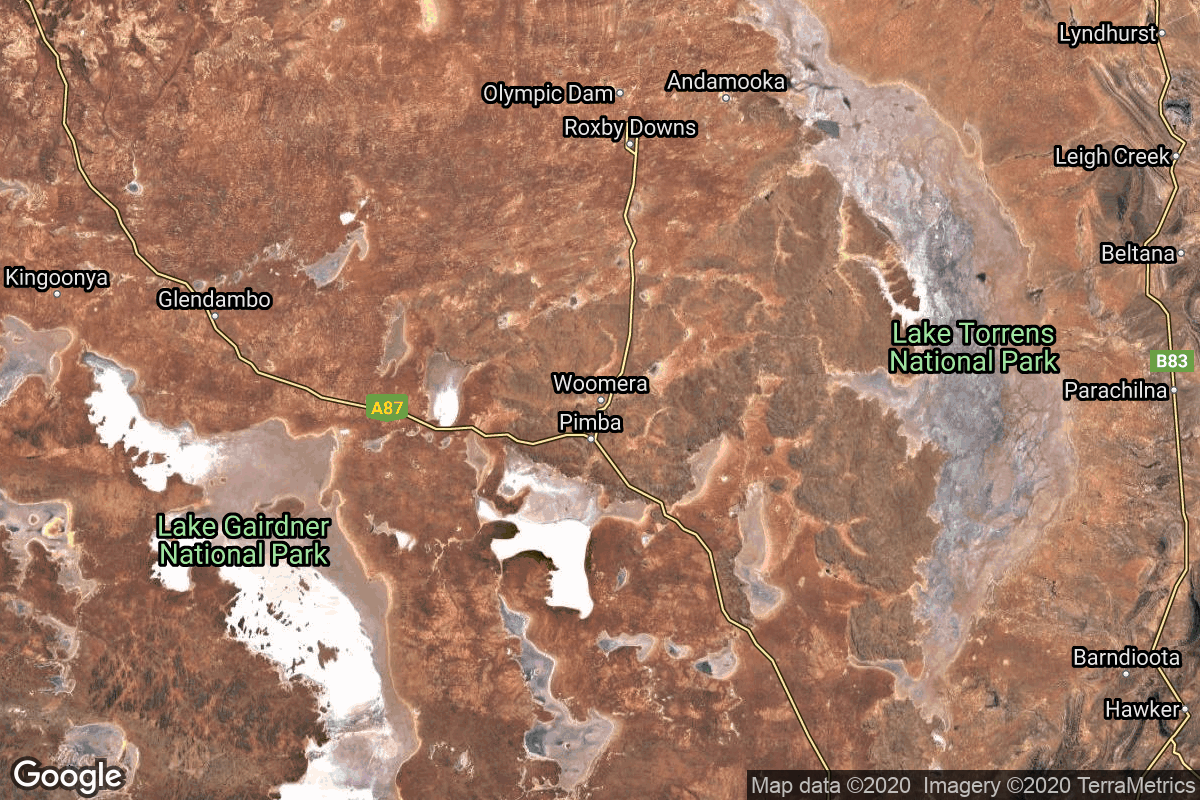
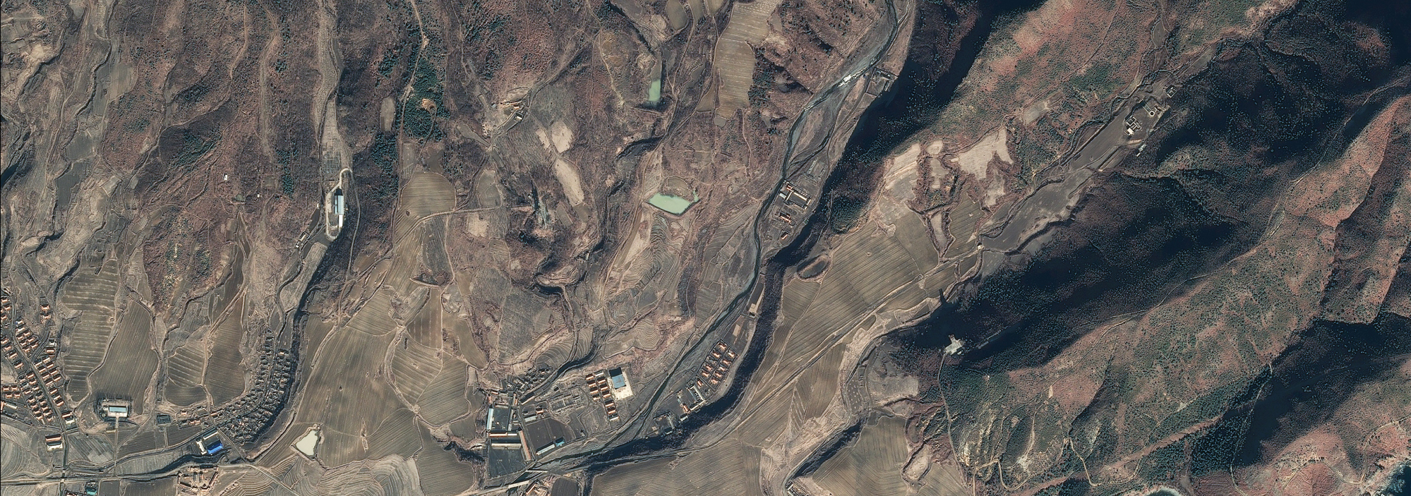
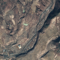
GET /2.3.0/locations/?format=api&offset=40&ordering=-total_landing_count
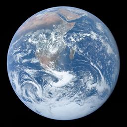
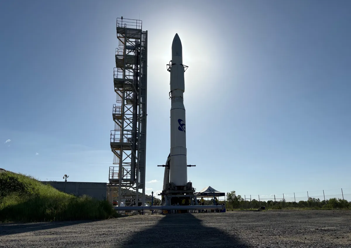
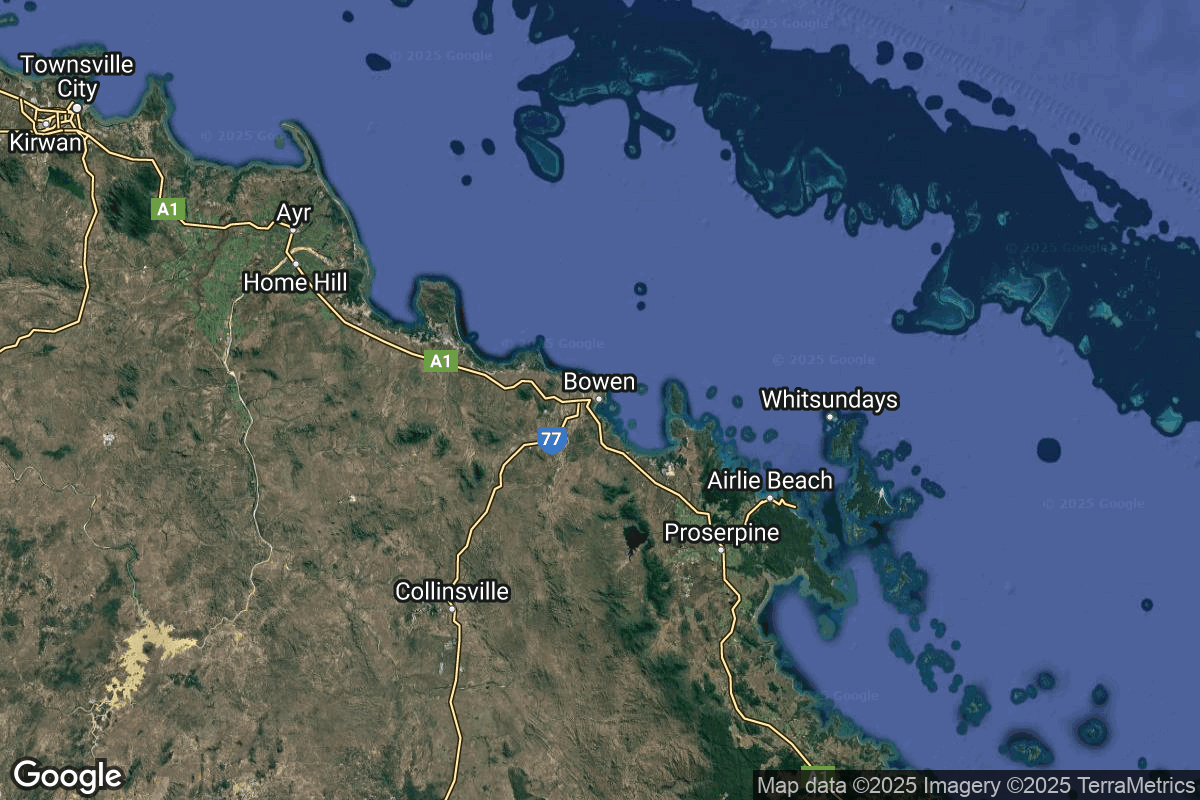
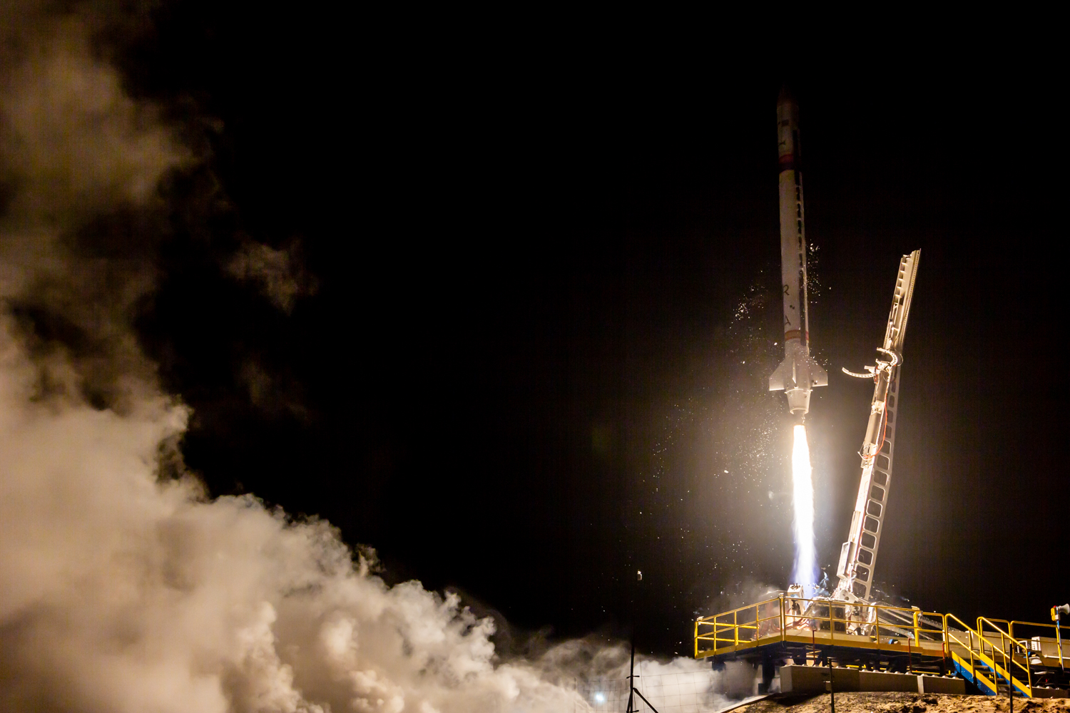
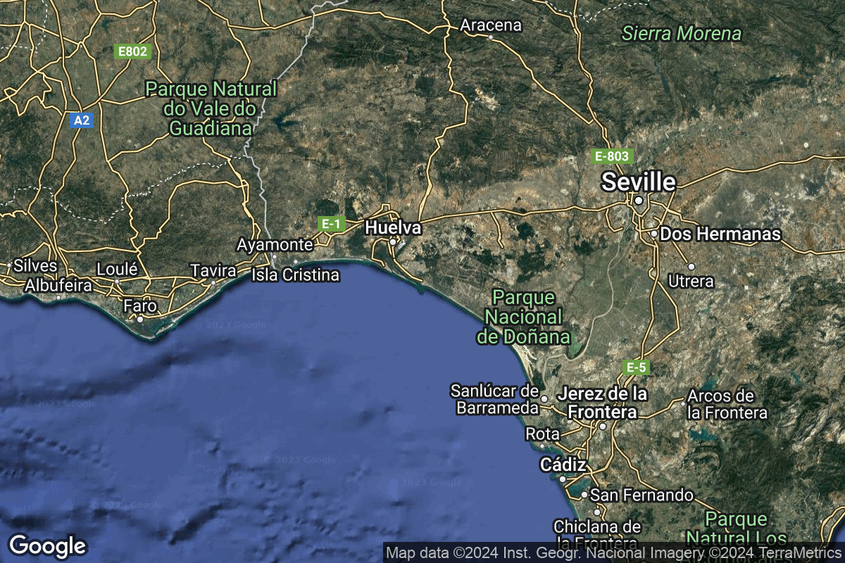
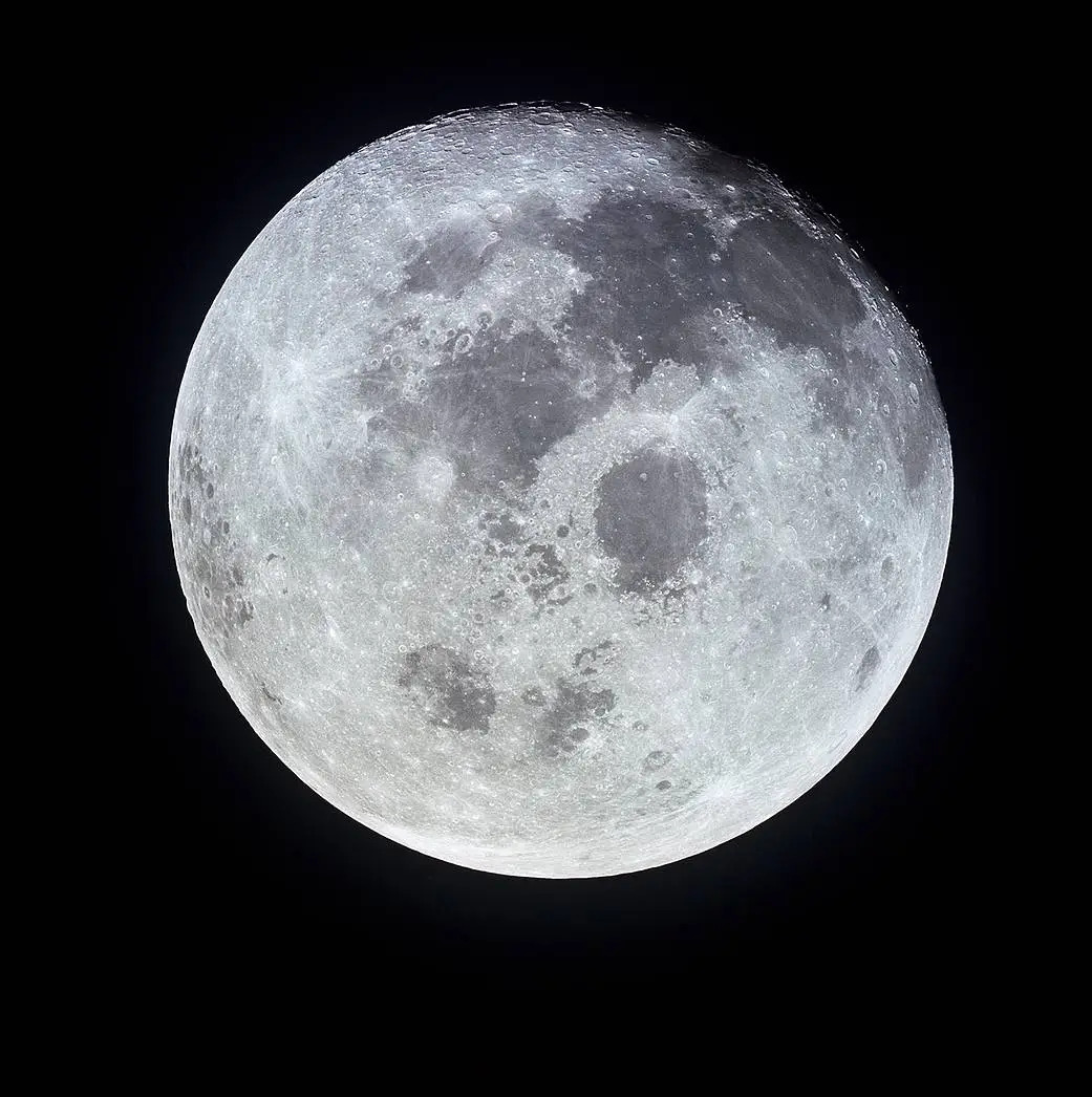
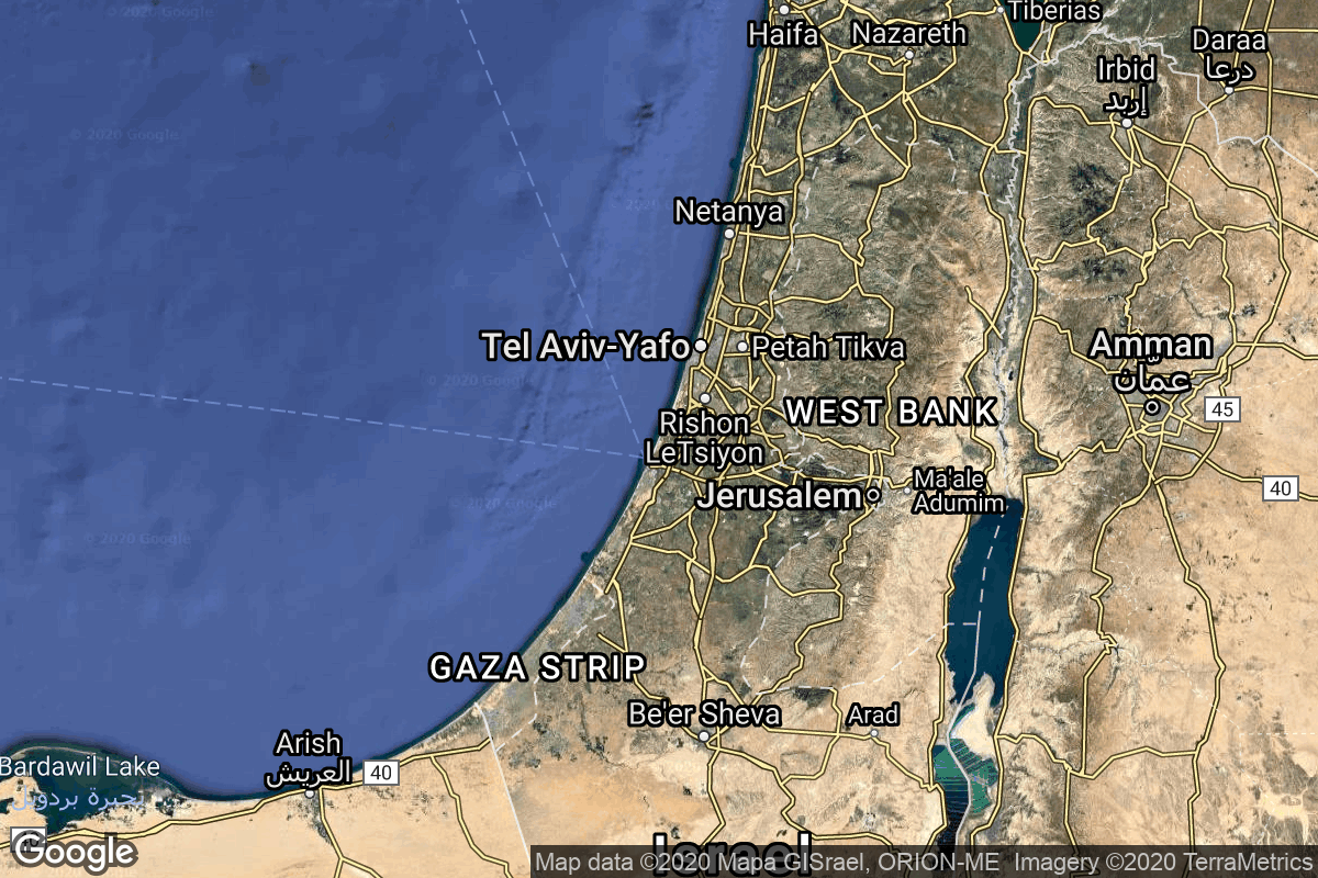
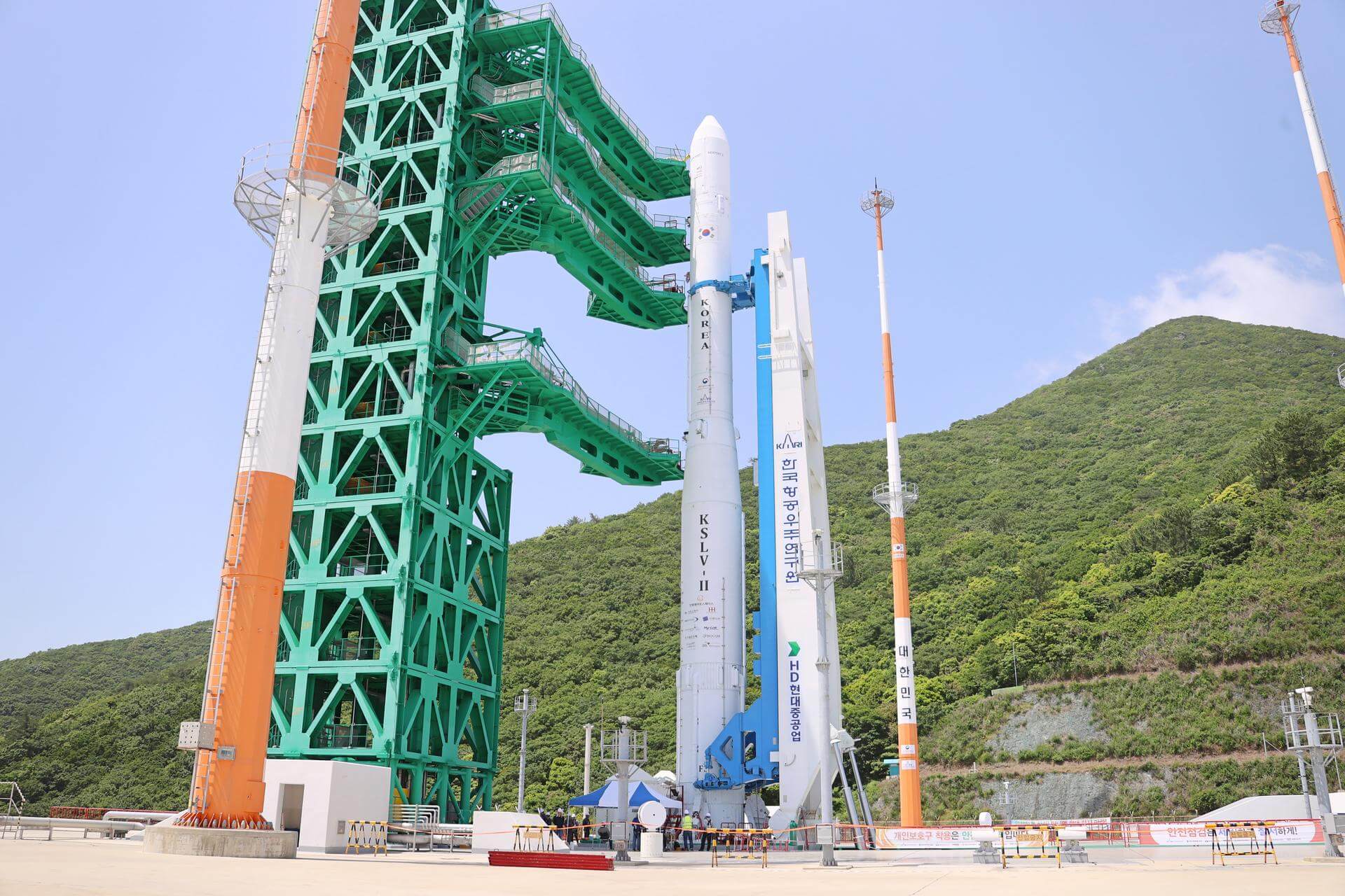
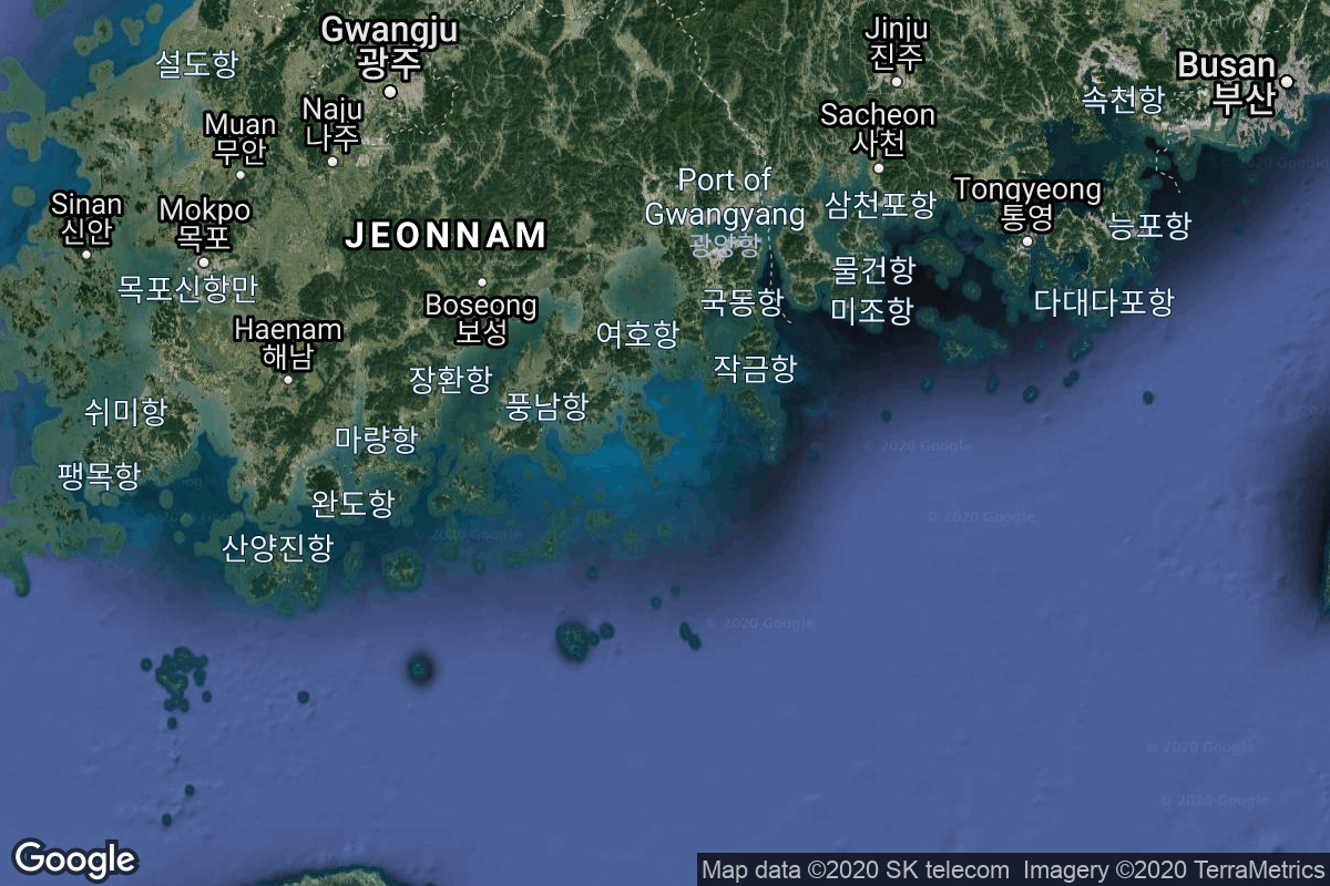
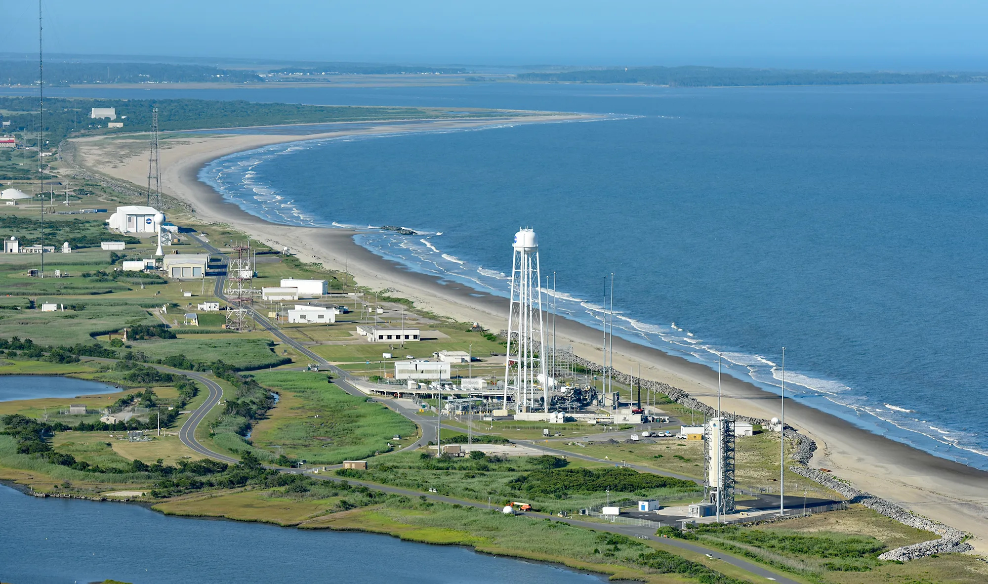
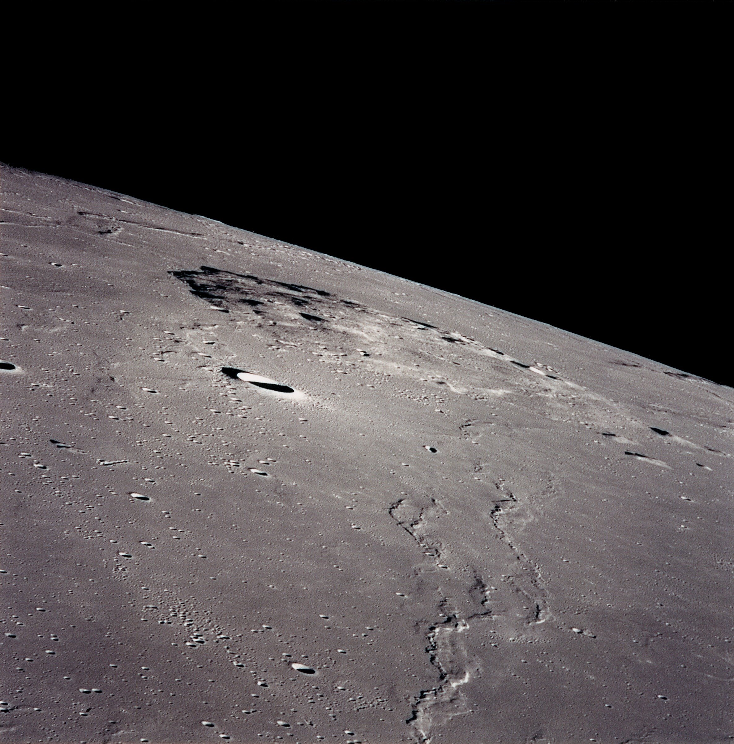
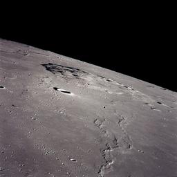
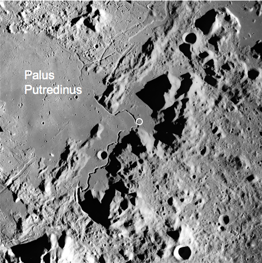
{ "count": 66, "next": "https://ll.thespacedevs.com/2.3.0/locations/?format=api&limit=10&offset=50&ordering=-total_landing_count", "previous": "https://ll.thespacedevs.com/2.3.0/locations/?format=api&limit=10&offset=30&ordering=-total_landing_count", "results": [ { "response_mode": "normal", "id": 181, "url": "https://ll.thespacedevs.com/2.3.0/locations/181/?format=api", "name": "Bowen Orbital Spaceport", "celestial_body": { "response_mode": "normal", "id": 1, "name": "Earth", "type": { "id": 1, "name": "Planet" }, "diameter": 12742000.0, "mass": 5.972168e+24, "gravity": 9.80655, "length_of_day": "1 00:00:00", "atmosphere": true, "image": { "id": 2040, "name": "Earth (Apollo 17)", "image_url": "https://thespacedevs-prod.nyc3.digitaloceanspaces.com/media/images/earth_2528apol_image_20240402194304.jpeg", "thumbnail_url": "https://thespacedevs-prod.nyc3.digitaloceanspaces.com/media/images/earth_2528apol_image_thumbnail_20240402194305.jpeg", "credit": "NASA", "license": { "id": 4, "name": "NASA Image and Media Guidelines", "priority": 0, "link": "https://www.nasa.gov/nasa-brand-center/images-and-media/" }, "single_use": true, "variants": [] }, "description": "Earth is the third planet from the Sun and the only astronomical object known to harbor life.", "wiki_url": "https://en.wikipedia.org/wiki/Earth", "total_attempted_launches": 7188, "successful_launches": 6643, "failed_launches": 545, "total_attempted_landings": 1129, "successful_landings": 1084, "failed_landings": 45 }, "active": true, "country": { "id": 34, "name": "Australia", "alpha_2_code": "AU", "alpha_3_code": "AUS", "nationality_name": "Australian", "nationality_name_composed": "Australo" }, "description": "Private orbital launch facility owned and operated by Gilmour Space.", "image": { "id": 1732, "name": "Eris on the launch pad (Maiden Flight)", "image_url": "https://thespacedevs-prod.nyc3.digitaloceanspaces.com/media/images/eris_on_the_lau_image_20250227073032.jpg", "thumbnail_url": "https://thespacedevs-prod.nyc3.digitaloceanspaces.com/media/images/eris_on_the_lau_image_thumbnail_20250227073032.jpeg", "credit": "Gilmour Space", "license": { "id": 1, "name": "Unknown", "priority": 9, "link": null }, "single_use": false, "variants": [] }, "map_image": "https://thespacedevs-prod.nyc3.digitaloceanspaces.com/media/map_images/location_bowen_orbital_spaceport_20250227073649.jpg", "longitude": 148.1129553, "latitude": -19.958151, "timezone_name": "Australia/Brisbane", "total_launch_count": 0, "total_landing_count": 0 }, { "response_mode": "normal", "id": 163, "url": "https://ll.thespacedevs.com/2.3.0/locations/163/?format=api", "name": "El Arenosillo Test Centre", "celestial_body": { "response_mode": "normal", "id": 1, "name": "Earth", "type": { "id": 1, "name": "Planet" }, "diameter": 12742000.0, "mass": 5.972168e+24, "gravity": 9.80655, "length_of_day": "1 00:00:00", "atmosphere": true, "image": { "id": 2040, "name": "Earth (Apollo 17)", "image_url": "https://thespacedevs-prod.nyc3.digitaloceanspaces.com/media/images/earth_2528apol_image_20240402194304.jpeg", "thumbnail_url": "https://thespacedevs-prod.nyc3.digitaloceanspaces.com/media/images/earth_2528apol_image_thumbnail_20240402194305.jpeg", "credit": "NASA", "license": { "id": 4, "name": "NASA Image and Media Guidelines", "priority": 0, "link": "https://www.nasa.gov/nasa-brand-center/images-and-media/" }, "single_use": true, "variants": [] }, "description": "Earth is the third planet from the Sun and the only astronomical object known to harbor life.", "wiki_url": "https://en.wikipedia.org/wiki/Earth", "total_attempted_launches": 7188, "successful_launches": 6643, "failed_launches": 545, "total_attempted_landings": 1129, "successful_landings": 1084, "failed_landings": 45 }, "active": true, "country": { "id": 7, "name": "Spain", "alpha_2_code": "ES", "alpha_3_code": "ESP", "nationality_name": "Spanish", "nationality_name_composed": "Hispano" }, "description": "El Arenosillo Test Centre is the name of a rocket launch site managed by INTA, located in Moguer, Spain. It is located in the province of Huelva, Andalucía, on the southwest coast of Spain.", "image": { "id": 1512, "name": "Miura 1 liftoff (SN1 Test Flight)", "image_url": "https://thespacedevs-prod.nyc3.digitaloceanspaces.com/media/images/miura25201252_image_20231008042338.jpeg", "thumbnail_url": "https://thespacedevs-prod.nyc3.digitaloceanspaces.com/media/images/255bauto255d__image_thumbnail_20240305193011.jpeg", "credit": "PLD Space", "license": { "id": 2, "name": "ESA Standard Licence", "priority": 2, "link": "https://www.esa.int/ESA_Multimedia/Terms_and_conditions_of_use_of_images_and_videos_available_on_the_esa_website" }, "single_use": false, "variants": [] }, "map_image": "https://thespacedevs-prod.nyc3.digitaloceanspaces.com/media/map_images/location_163_20240111100612.jpg", "longitude": -6.738611, "latitude": 37.096944, "timezone_name": "Europe/Madrid", "total_launch_count": 1, "total_landing_count": 0 }, { "response_mode": "normal", "id": 183, "url": "https://ll.thespacedevs.com/2.3.0/locations/183/?format=api", "name": "Mons Mouton", "celestial_body": { "response_mode": "normal", "id": 2, "name": "Moon", "type": { "id": 2, "name": "Moon" }, "diameter": 3474800.0, "mass": 7.342e+22, "gravity": 1.622, "length_of_day": "27 07:43:12", "atmosphere": false, "image": { "id": 2041, "name": "Moon (Apollo 11)", "image_url": "https://thespacedevs-prod.nyc3.digitaloceanspaces.com/media/images/moon_2528apoll_image_20240402195408.jpg", "thumbnail_url": "https://thespacedevs-prod.nyc3.digitaloceanspaces.com/media/images/moon_2528apoll_image_thumbnail_20240402195408.jpeg", "credit": "NASA", "license": { "id": 4, "name": "NASA Image and Media Guidelines", "priority": 0, "link": "https://www.nasa.gov/nasa-brand-center/images-and-media/" }, "single_use": false, "variants": [] }, "description": "The Moon is Earth's only natural satellite.", "wiki_url": "https://en.wikipedia.org/wiki/Moon", "total_attempted_launches": 11, "successful_launches": 11, "failed_launches": 0, "total_attempted_landings": 17, "successful_landings": 14, "failed_landings": 3 }, "active": true, "country": null, "description": "Mons Mouton is the Moon's tallest mountain that has been officially named. The base to peak height of this flat-topped mountain is 6 km per altimetry data from the Lunar Reconnaissance Orbiter. It lies between the craters Nobile and Malapert, within 6° of the lunar South Pole on the Moon's near-side. This is a region of special interest because of the presence of Permanently Shadowed Regions (PSRs) that could be cold traps for water, together with areas of extended solar illumination in their proximity.", "image": { "id": 2339, "name": "Mons Mouton from LRO", "image_url": "https://thespacedevs-prod.nyc3.digitaloceanspaces.com/media/images/mons_mouton_fro_image_20250227085908.jpg", "thumbnail_url": "https://thespacedevs-prod.nyc3.digitaloceanspaces.com/media/images/mons_mouton_fro_image_thumbnail_20250227085908.jpeg", "credit": "NASA/Arizona State University", "license": { "id": 4, "name": "NASA Image and Media Guidelines", "priority": 0, "link": "https://www.nasa.gov/nasa-brand-center/images-and-media/" }, "single_use": false, "variants": [] }, "map_image": null, "longitude": -31.0, "latitude": -84.6, "timezone_name": "", "total_launch_count": 0, "total_landing_count": 0 }, { "response_mode": "normal", "id": 4, "url": "https://ll.thespacedevs.com/2.3.0/locations/4/?format=api", "name": "Palmachim Airbase, State of Israel", "celestial_body": { "response_mode": "normal", "id": 1, "name": "Earth", "type": { "id": 1, "name": "Planet" }, "diameter": 12742000.0, "mass": 5.972168e+24, "gravity": 9.80655, "length_of_day": "1 00:00:00", "atmosphere": true, "image": { "id": 2040, "name": "Earth (Apollo 17)", "image_url": "https://thespacedevs-prod.nyc3.digitaloceanspaces.com/media/images/earth_2528apol_image_20240402194304.jpeg", "thumbnail_url": "https://thespacedevs-prod.nyc3.digitaloceanspaces.com/media/images/earth_2528apol_image_thumbnail_20240402194305.jpeg", "credit": "NASA", "license": { "id": 4, "name": "NASA Image and Media Guidelines", "priority": 0, "link": "https://www.nasa.gov/nasa-brand-center/images-and-media/" }, "single_use": true, "variants": [] }, "description": "Earth is the third planet from the Sun and the only astronomical object known to harbor life.", "wiki_url": "https://en.wikipedia.org/wiki/Earth", "total_attempted_launches": 7188, "successful_launches": 6643, "failed_launches": 545, "total_attempted_landings": 1129, "successful_landings": 1084, "failed_landings": 45 }, "active": true, "country": { "id": 29, "name": "Israel", "alpha_2_code": "IL", "alpha_3_code": "ISR", "nationality_name": "Israeli", "nationality_name_composed": "Israeli" }, "description": "Palmachim Airbase is an Israeli Air Force (IAF) base and spaceport, which the IAF and the Israel Space Agency (ISA) operate jointly. It is located west of the city of Yavne on the Mediterranean coast, 12 km south of the Gush Dan metropolitan area with Tel Aviv, named after the Kibbutz Palmachim north of it.", "image": { "id": 2207, "name": "Shavit-2 liftoff (Ofek-13)", "image_url": "https://thespacedevs-prod.nyc3.digitaloceanspaces.com/media/images/shavit-2_liftof_image_20240918164729.jpeg", "thumbnail_url": "https://thespacedevs-prod.nyc3.digitaloceanspaces.com/media/images/shavit-2_liftof_image_thumbnail_20240918164729.jpeg", "credit": "Israel Ministry of Defense", "license": { "id": 1, "name": "Unknown", "priority": 9, "link": null }, "single_use": false, "variants": [] }, "map_image": "https://thespacedevs-prod.nyc3.digitaloceanspaces.com/media/map_images/location_4_20200803142418.jpg", "longitude": 34.690556, "latitude": 31.897778, "timezone_name": "Asia/Jerusalem", "total_launch_count": 12, "total_landing_count": 0 }, { "response_mode": "normal", "id": 9, "url": "https://ll.thespacedevs.com/2.3.0/locations/9/?format=api", "name": "Naro Space Center, South Korea", "celestial_body": { "response_mode": "normal", "id": 1, "name": "Earth", "type": { "id": 1, "name": "Planet" }, "diameter": 12742000.0, "mass": 5.972168e+24, "gravity": 9.80655, "length_of_day": "1 00:00:00", "atmosphere": true, "image": { "id": 2040, "name": "Earth (Apollo 17)", "image_url": "https://thespacedevs-prod.nyc3.digitaloceanspaces.com/media/images/earth_2528apol_image_20240402194304.jpeg", "thumbnail_url": "https://thespacedevs-prod.nyc3.digitaloceanspaces.com/media/images/earth_2528apol_image_thumbnail_20240402194305.jpeg", "credit": "NASA", "license": { "id": 4, "name": "NASA Image and Media Guidelines", "priority": 0, "link": "https://www.nasa.gov/nasa-brand-center/images-and-media/" }, "single_use": true, "variants": [] }, "description": "Earth is the third planet from the Sun and the only astronomical object known to harbor life.", "wiki_url": "https://en.wikipedia.org/wiki/Earth", "total_attempted_launches": 7188, "successful_launches": 6643, "failed_launches": 545, "total_attempted_landings": 1129, "successful_landings": 1084, "failed_landings": 45 }, "active": true, "country": { "id": 35, "name": "South Korea", "alpha_2_code": "KR", "alpha_3_code": "KOR", "nationality_name": "South Korean", "nationality_name_composed": "South Korean" }, "description": "The Naro Space Center is a South Korean spaceport in South Jeolla's Goheung County, operated by the state-run Korea Aerospace Research Institute.", "image": { "id": 1797, "name": "Nuri on the launch pad", "image_url": "https://thespacedevs-prod.nyc3.digitaloceanspaces.com/media/images/nuri_on_the_lau_image_20240307163812.jpeg", "thumbnail_url": "https://thespacedevs-prod.nyc3.digitaloceanspaces.com/media/images/nuri_on_the_lau_image_thumbnail_20240307163813.jpeg", "credit": "Korea Aerospace Research Institute", "license": { "id": 15, "name": "Korea Open Government License Type I: Attribution", "priority": 6, "link": "https://www.kogl.or.kr/edu/eduDataFileDown.do?dataIdx=97&dataFileIdx=1" }, "single_use": true, "variants": [] }, "map_image": "https://thespacedevs-prod.nyc3.digitaloceanspaces.com/media/map_images/location_9_20200803142441.jpg", "longitude": 127.535, "latitude": 34.431944, "timezone_name": "Asia/Seoul", "total_launch_count": 7, "total_landing_count": 0 }, { "response_mode": "normal", "id": 21, "url": "https://ll.thespacedevs.com/2.3.0/locations/21/?format=api", "name": "Wallops Flight Facility, Virginia, USA", "celestial_body": { "response_mode": "normal", "id": 1, "name": "Earth", "type": { "id": 1, "name": "Planet" }, "diameter": 12742000.0, "mass": 5.972168e+24, "gravity": 9.80655, "length_of_day": "1 00:00:00", "atmosphere": true, "image": { "id": 2040, "name": "Earth (Apollo 17)", "image_url": "https://thespacedevs-prod.nyc3.digitaloceanspaces.com/media/images/earth_2528apol_image_20240402194304.jpeg", "thumbnail_url": "https://thespacedevs-prod.nyc3.digitaloceanspaces.com/media/images/earth_2528apol_image_thumbnail_20240402194305.jpeg", "credit": "NASA", "license": { "id": 4, "name": "NASA Image and Media Guidelines", "priority": 0, "link": "https://www.nasa.gov/nasa-brand-center/images-and-media/" }, "single_use": true, "variants": [] }, "description": "Earth is the third planet from the Sun and the only astronomical object known to harbor life.", "wiki_url": "https://en.wikipedia.org/wiki/Earth", "total_attempted_launches": 7188, "successful_launches": 6643, "failed_launches": 545, "total_attempted_landings": 1129, "successful_landings": 1084, "failed_landings": 45 }, "active": true, "country": { "id": 2, "name": "United States of America", "alpha_2_code": "US", "alpha_3_code": "USA", "nationality_name": "American", "nationality_name_composed": "Americano" }, "description": "Wallops Flight Facility is a rocket launch site on Wallops Island on the Eastern Shore of Virginia, United States, just east of the Delmarva Peninsula and north-northeast of Norfolk. The facility is operated by the Goddard Space Flight Center in Greenbelt, Maryland, and primarily serves to support science and exploration missions for NASA and other federal agencies. WFF includes an extensively instrumented range to support launches of more than a dozen types of sounding rockets; small expendable suborbital and orbital rockets; high-altitude balloon flights carrying scientific instruments for atmospheric and astronomical research; and, using its Research Airport, flight tests of aeronautical research aircraft, including uncrewed aerial vehicles.", "image": { "id": 2227, "name": "Wallops Flight Facility", "image_url": "https://thespacedevs-prod.nyc3.digitaloceanspaces.com/media/images/wallops_flight__image_20240920083715.jpg", "thumbnail_url": "https://thespacedevs-prod.nyc3.digitaloceanspaces.com/media/images/wallops_flight__image_thumbnail_20240920083715.jpeg", "credit": "NASA", "license": { "id": 4, "name": "NASA Image and Media Guidelines", "priority": 0, "link": "https://www.nasa.gov/nasa-brand-center/images-and-media/" }, "single_use": true, "variants": [] }, "map_image": "https://thespacedevs-prod.nyc3.digitaloceanspaces.com/media/map_images/location_21_20200803142423.jpg", "longitude": -75.467778, "latitude": 37.933333, "timezone_name": "America/New_York", "total_launch_count": 80, "total_landing_count": 0 }, { "response_mode": "normal", "id": 152, "url": "https://ll.thespacedevs.com/2.3.0/locations/152/?format=api", "name": "RAAF Woomera Range Complex", "celestial_body": { "response_mode": "normal", "id": 1, "name": "Earth", "type": { "id": 1, "name": "Planet" }, "diameter": 12742000.0, "mass": 5.972168e+24, "gravity": 9.80655, "length_of_day": "1 00:00:00", "atmosphere": true, "image": { "id": 2040, "name": "Earth (Apollo 17)", "image_url": "https://thespacedevs-prod.nyc3.digitaloceanspaces.com/media/images/earth_2528apol_image_20240402194304.jpeg", "thumbnail_url": "https://thespacedevs-prod.nyc3.digitaloceanspaces.com/media/images/earth_2528apol_image_thumbnail_20240402194305.jpeg", "credit": "NASA", "license": { "id": 4, "name": "NASA Image and Media Guidelines", "priority": 0, "link": "https://www.nasa.gov/nasa-brand-center/images-and-media/" }, "single_use": true, "variants": [] }, "description": "Earth is the third planet from the Sun and the only astronomical object known to harbor life.", "wiki_url": "https://en.wikipedia.org/wiki/Earth", "total_attempted_launches": 7188, "successful_launches": 6643, "failed_launches": 545, "total_attempted_landings": 1129, "successful_landings": 1084, "failed_landings": 45 }, "active": true, "country": { "id": 34, "name": "Australia", "alpha_2_code": "AU", "alpha_3_code": "AUS", "nationality_name": "Australian", "nationality_name_composed": "Australo" }, "description": "The RAAF Woomera Range Complex (WRC) is a major Australian military and civil aerospace facility and operation located in South Australia, approximately 450 km (280 mi) north-west of Adelaide. The WRC is operated by the Royal Australian Air Force (RAAF), a Service of the Australian Defence Force (ADF). The complex has a land area of 122,188 km2 (47,177 sq mi) or roughly the size of North Korea or Pennsylvania. The airspace above the area is restricted and controlled by the RAAF for safety and security. The WRC is a highly specialised ADF test and evaluation capability operated by the RAAF for the purposes of testing defence materiel.", "image": { "id": 2208, "name": "Europa I on Launch Area 6A", "image_url": "https://thespacedevs-prod.nyc3.digitaloceanspaces.com/media/images/europa_i_on_lau_image_20240918171901.jpg", "thumbnail_url": "https://thespacedevs-prod.nyc3.digitaloceanspaces.com/media/images/europa_i_on_lau_image_thumbnail_20240918171901.jpeg", "credit": "ELDO", "license": { "id": 2, "name": "ESA Standard Licence", "priority": 2, "link": "https://www.esa.int/ESA_Multimedia/Terms_and_conditions_of_use_of_images_and_videos_available_on_the_esa_website" }, "single_use": true, "variants": [] }, "map_image": "https://thespacedevs-prod.nyc3.digitaloceanspaces.com/media/map_images/location_152_20200803142502.jpg", "longitude": 136.5322, "latitude": -30.9553, "timezone_name": "Australia/Adelaide", "total_launch_count": 6, "total_landing_count": 0 }, { "response_mode": "normal", "id": 153, "url": "https://ll.thespacedevs.com/2.3.0/locations/153/?format=api", "name": "Tonghae Satellite Launching Ground", "celestial_body": { "response_mode": "normal", "id": 1, "name": "Earth", "type": { "id": 1, "name": "Planet" }, "diameter": 12742000.0, "mass": 5.972168e+24, "gravity": 9.80655, "length_of_day": "1 00:00:00", "atmosphere": true, "image": { "id": 2040, "name": "Earth (Apollo 17)", "image_url": "https://thespacedevs-prod.nyc3.digitaloceanspaces.com/media/images/earth_2528apol_image_20240402194304.jpeg", "thumbnail_url": "https://thespacedevs-prod.nyc3.digitaloceanspaces.com/media/images/earth_2528apol_image_thumbnail_20240402194305.jpeg", "credit": "NASA", "license": { "id": 4, "name": "NASA Image and Media Guidelines", "priority": 0, "link": "https://www.nasa.gov/nasa-brand-center/images-and-media/" }, "single_use": true, "variants": [] }, "description": "Earth is the third planet from the Sun and the only astronomical object known to harbor life.", "wiki_url": "https://en.wikipedia.org/wiki/Earth", "total_attempted_launches": 7188, "successful_launches": 6643, "failed_launches": 545, "total_attempted_landings": 1129, "successful_landings": 1084, "failed_landings": 45 }, "active": false, "country": { "id": 53, "name": "North Korea", "alpha_2_code": "KP", "alpha_3_code": "PRK", "nationality_name": "North Korean", "nationality_name_composed": "North Korean" }, "description": "The Tonghae Satellite Launching Ground is a rocket launching site in North Korea.", "image": { "id": 2224, "name": "Tonghae Satellite Launching Ground from space", "image_url": "https://thespacedevs-prod.nyc3.digitaloceanspaces.com/media/images/tonghae_satelli_image_20240920082229.png", "thumbnail_url": "https://thespacedevs-prod.nyc3.digitaloceanspaces.com/media/images/tonghae_satelli_image_thumbnail_20240920082229.png", "credit": "Airbus", "license": { "id": 1, "name": "Unknown", "priority": 9, "link": null }, "single_use": true, "variants": [] }, "map_image": "https://thespacedevs-prod.nyc3.digitaloceanspaces.com/media/map_images/location_153_20200803142503.jpg", "longitude": 129.686389, "latitude": 40.858333, "timezone_name": "Asia/Pyongyang", "total_launch_count": 2, "total_landing_count": 0 }, { "response_mode": "normal", "id": 176, "url": "https://ll.thespacedevs.com/2.3.0/locations/176/?format=api", "name": "Mons Rümker, Moon", "celestial_body": { "response_mode": "normal", "id": 2, "name": "Moon", "type": { "id": 2, "name": "Moon" }, "diameter": 3474800.0, "mass": 7.342e+22, "gravity": 1.622, "length_of_day": "27 07:43:12", "atmosphere": false, "image": { "id": 2041, "name": "Moon (Apollo 11)", "image_url": "https://thespacedevs-prod.nyc3.digitaloceanspaces.com/media/images/moon_2528apoll_image_20240402195408.jpg", "thumbnail_url": "https://thespacedevs-prod.nyc3.digitaloceanspaces.com/media/images/moon_2528apoll_image_thumbnail_20240402195408.jpeg", "credit": "NASA", "license": { "id": 4, "name": "NASA Image and Media Guidelines", "priority": 0, "link": "https://www.nasa.gov/nasa-brand-center/images-and-media/" }, "single_use": false, "variants": [] }, "description": "The Moon is Earth's only natural satellite.", "wiki_url": "https://en.wikipedia.org/wiki/Moon", "total_attempted_launches": 11, "successful_launches": 11, "failed_launches": 0, "total_attempted_landings": 17, "successful_landings": 14, "failed_landings": 3 }, "active": false, "country": null, "description": "Mons Rümker is an isolated volcanic formation that is located in the northwest part of the Moon's near side. The feature forms a large, elevated mound in the northern part of the Oceanus Procellarum.", "image": { "id": 2171, "name": "Mons Rümker seen from Apollo 15", "image_url": "https://thespacedevs-prod.nyc3.digitaloceanspaces.com/media/images/mons_r25c325b_image_20240813081840.jpg", "thumbnail_url": "https://thespacedevs-prod.nyc3.digitaloceanspaces.com/media/images/mons_r25c325b_image_thumbnail_20240813081841.jpeg", "credit": "NASA", "license": { "id": 4, "name": "NASA Image and Media Guidelines", "priority": 0, "link": "https://www.nasa.gov/nasa-brand-center/images-and-media/" }, "single_use": true, "variants": [] }, "map_image": "https://thespacedevs-prod.nyc3.digitaloceanspaces.com/media/map_images/location_chang25e225802599e_5_landing_site252c_mons_r25c325bcmker252c_moon_20240813035032.jpg", "longitude": null, "latitude": 40.8, "timezone_name": "", "total_launch_count": 1, "total_landing_count": 0 }, { "response_mode": "normal", "id": 170, "url": "https://ll.thespacedevs.com/2.3.0/locations/170/?format=api", "name": "Hadley–Apennine, Moon", "celestial_body": { "response_mode": "normal", "id": 2, "name": "Moon", "type": { "id": 2, "name": "Moon" }, "diameter": 3474800.0, "mass": 7.342e+22, "gravity": 1.622, "length_of_day": "27 07:43:12", "atmosphere": false, "image": { "id": 2041, "name": "Moon (Apollo 11)", "image_url": "https://thespacedevs-prod.nyc3.digitaloceanspaces.com/media/images/moon_2528apoll_image_20240402195408.jpg", "thumbnail_url": "https://thespacedevs-prod.nyc3.digitaloceanspaces.com/media/images/moon_2528apoll_image_thumbnail_20240402195408.jpeg", "credit": "NASA", "license": { "id": 4, "name": "NASA Image and Media Guidelines", "priority": 0, "link": "https://www.nasa.gov/nasa-brand-center/images-and-media/" }, "single_use": false, "variants": [] }, "description": "The Moon is Earth's only natural satellite.", "wiki_url": "https://en.wikipedia.org/wiki/Moon", "total_attempted_launches": 11, "successful_launches": 11, "failed_launches": 0, "total_attempted_landings": 17, "successful_landings": 14, "failed_landings": 3 }, "active": false, "country": null, "description": "Hadley–Apennine is a region on the near side of Earth's Moon that served as the landing site for the American Apollo 15 mission, the fourth crewed landing on the Moon and the first of the \"J-missions\", in July 1971. The site is located on the eastern edge of Mare Imbrium on a lava plain known as Palus Putredinis. Hadley–Apennine is bordered by the Montes Apenninus (often referred to as \"Apennine Front\"), a mountain range, and Hadley Rille, a meandering channel, on the east and west, respectively.", "image": { "id": 2144, "name": "Apollo 15 landing site at Hadley-Apennine", "image_url": "https://thespacedevs-prod.nyc3.digitaloceanspaces.com/media/images/apollo_15_landi_image_20240812112508.png", "thumbnail_url": "https://thespacedevs-prod.nyc3.digitaloceanspaces.com/media/images/apollo_15_landi_image_thumbnail_20240812112509.png", "credit": "NASA", "license": { "id": 4, "name": "NASA Image and Media Guidelines", "priority": 0, "link": "https://www.nasa.gov/nasa-brand-center/images-and-media/" }, "single_use": true, "variants": [] }, "map_image": "https://thespacedevs-prod.nyc3.digitaloceanspaces.com/media/map_images/location_apollo_15_landing_site252c_hadley25e225802593apennine252c_moon_20240813033431.jpg", "longitude": 3.6339, "latitude": 26.1322, "timezone_name": "", "total_launch_count": 1, "total_landing_count": 0 } ] }