Previous Launch List
Modes
Levels of detail in the response - list, normal, detailed
Example - /launches/previous/?mode=list
Filters
Parameters - agency_launch_attempt_count, agency_launch_attempt_count__gt, agency_launch_attempt_count__gte, agency_launch_attempt_count__lt, agency_launch_attempt_count__lte, agency_launch_attempt_count_year, agency_launch_attempt_count_year__gt, agency_launch_attempt_count_year__gte, agency_launch_attempt_count_year__lt, agency_launch_attempt_count_year__lte, day, id, include_suborbital, is_crewed, last_updated__gte, last_updated__lte, launch_designator, launcher_config__id, location__ids, location_launch_attempt_count, location_launch_attempt_count__gt, location_launch_attempt_count__gte, location_launch_attempt_count__lt, location_launch_attempt_count__lte, location_launch_attempt_count_year, location_launch_attempt_count_year__gt, location_launch_attempt_count_year__gte, location_launch_attempt_count_year__lt, location_launch_attempt_count_year__lte, lsp__id, lsp__name, mission__orbit__celestial_body__id, mission__orbit__name, mission__orbit__name__icontains, month, name, net__gt, net__gte, net__lt, net__lte, orbital_launch_attempt_count, orbital_launch_attempt_count__gt, orbital_launch_attempt_count__gte, orbital_launch_attempt_count__lt, orbital_launch_attempt_count__lte, orbital_launch_attempt_count_year, orbital_launch_attempt_count_year__gt, orbital_launch_attempt_count_year__gte, orbital_launch_attempt_count_year__lt, orbital_launch_attempt_count_year__lte, pad, pad__location, pad__location__celestial_body__id, pad_launch_attempt_count, pad_launch_attempt_count__gt, pad_launch_attempt_count__gte, pad_launch_attempt_count__lt, pad_launch_attempt_count__lte, pad_launch_attempt_count_year, pad_launch_attempt_count_year__gt, pad_launch_attempt_count_year__gte, pad_launch_attempt_count_year__lt, pad_launch_attempt_count_year__lte, program, related_lsp__id, related_lsp__name, rocket__configuration__full_name, rocket__configuration__full_name__icontains, rocket__configuration__id, rocket__configuration__manufacturer__name, rocket__configuration__manufacturer__name__icontains, rocket__configuration__name, rocket__spacecraftflight__spacecraft__id, rocket__spacecraftflight__spacecraft__name, rocket__spacecraftflight__spacecraft__name__icontains, serial_number, slug, spacecraft_config__ids, status, status__ids, video_url, window_end__gt, window_end__gte, window_end__lt, window_end__lte, window_start__gt, window_start__gte, window_start__lt, window_start__lte, year
Example - /launches/previous/?pad__location=13
Search
Fields searched - launch_designator, launch_service_provider__name, mission__name, name, pad__location__name, pad__name, rocket__configuration__manufacturer__abbrev, rocket__configuration__manufacturer__name, rocket__configuration__name, rocket__spacecraftflight__spacecraft__name
Example - /launches/previous/?search=Starlink
Ordering
Fields - id, last_updated, name, net
Example - /launches/previous/?ordering=-last_updated
Number of results
Use limit to control the number of objects in the response (max 100)
Example - /launches/previous/?limit=2
Format
Switch to JSON output - /launches/previous/?format=json
Help
Find all the FAQs and support links on the documentation homepage - ll.thespacedevs.com/docs
GET /2.3.0/launches/previous/?format=api&offset=6490&ordering=-id
{ "count": 7172, "next": "https://ll.thespacedevs.com/2.3.0/launches/previous/?format=api&limit=10&offset=6500&ordering=-id", "previous": "https://ll.thespacedevs.com/2.3.0/launches/previous/?format=api&limit=10&offset=6480&ordering=-id", "results": [ { "id": "19707565-d35c-49ef-8a59-e04c6d2cd8b2", "url": "https://ll.thespacedevs.com/2.3.0/launches/19707565-d35c-49ef-8a59-e04c6d2cd8b2/?format=api", "name": "Ariane 40 | SPOT 3", "response_mode": "normal", "slug": "ariane-40-spot-3", "launch_designator": "1993-061", "status": { "id": 3, "name": "Launch Successful", "abbrev": "Success", "description": "The launch vehicle successfully inserted its payload(s) into the target orbit(s)." }, "last_updated": "2023-06-14T04:22:24Z", "net": "1993-09-26T01:45:00Z", "net_precision": null, "window_end": "1993-09-26T01:45:00Z", "window_start": "1993-09-26T01:45:00Z", "image": { "id": 2039, "name": "Ariane 40 at ELA-2 (HELIOS 1A, CERISE & UPM/LB SAT )", "image_url": "https://thespacedevs-prod.nyc3.digitaloceanspaces.com/media/images/ariane_40_at_el_image_20240401084332.png", "thumbnail_url": "https://thespacedevs-prod.nyc3.digitaloceanspaces.com/media/images/ariane_40_at_el_image_thumbnail_20240401084332.png", "credit": "Arianespace", "license": { "id": 1, "name": "Unknown", "priority": 9, "link": null }, "single_use": true, "variants": [] }, "infographic": null, "probability": null, "weather_concerns": null, "failreason": null, "hashtag": null, "launch_service_provider": { "response_mode": "list", "id": 115, "url": "https://ll.thespacedevs.com/2.3.0/agencies/115/?format=api", "name": "Arianespace", "abbrev": "ASA", "type": { "id": 3, "name": "Commercial" } }, "rocket": { "id": 6548, "configuration": { "response_mode": "list", "id": 222, "url": "https://ll.thespacedevs.com/2.3.0/launcher_configurations/222/?format=api", "name": "Ariane 40", "families": [ { "response_mode": "list", "id": 59, "name": "Ariane" }, { "response_mode": "list", "id": 60, "name": "Ariane 4" } ], "full_name": "Ariane 40", "variant": "40" } }, "mission": { "id": 4938, "name": "SPOT 3", "type": "Earth Science", "description": "The satellites SPOT 1, 2 and 3 (Satellite Probatoire de l'Observation de la Terre) were the first generation of SPOT earth observation satellites operated by Spot Image.", "image": null, "orbit": { "id": 8, "name": "Low Earth Orbit", "abbrev": "LEO", "celestial_body": { "response_mode": "list", "id": 1, "name": "Earth" } }, "agencies": [], "info_urls": [], "vid_urls": [] }, "pad": { "id": 124, "url": "https://ll.thespacedevs.com/2.3.0/pads/124/?format=api", "active": false, "agencies": [ { "response_mode": "normal", "id": 115, "url": "https://ll.thespacedevs.com/2.3.0/agencies/115/?format=api", "name": "Arianespace", "abbrev": "ASA", "type": { "id": 3, "name": "Commercial" }, "featured": true, "country": [ { "id": 1, "name": "France", "alpha_2_code": "FR", "alpha_3_code": "FRA", "nationality_name": "French", "nationality_name_composed": "Franco" } ], "description": "Arianespace SA is a multinational company founded in 1980 as the world's first commercial launch service provider. It undertakes the production, operation, and marketing of the Ariane programme. Their vehicles launch exclusively from French Guiana in South America.", "administrator": "CEO: David Cavaillolès", "founding_year": 1980, "launchers": "Ariane | Vega", "spacecraft": "", "parent": "ArianeGroup", "image": { "id": 1692, "name": "Ariane 62 on ELA-4 (Maiden Flight)", "image_url": "https://thespacedevs-prod.nyc3.digitaloceanspaces.com/media/images/ariane_62_on_el_image_20240708201807.jpeg", "thumbnail_url": "https://thespacedevs-prod.nyc3.digitaloceanspaces.com/media/images/ariane_62_on_el_image_thumbnail_20240708201808.jpeg", "credit": "ESA/L. Bourgeon", "license": { "id": 2, "name": "ESA Standard Licence", "priority": 2, "link": "https://www.esa.int/ESA_Multimedia/Terms_and_conditions_of_use_of_images_and_videos_available_on_the_esa_website" }, "single_use": false, "variants": [] }, "logo": { "id": 108, "name": "Arianespace blue logo", "image_url": "https://thespacedevs-prod.nyc3.digitaloceanspaces.com/media/images/arianespace_logo_20210603173752.png", "thumbnail_url": "https://thespacedevs-prod.nyc3.digitaloceanspaces.com/media/images/255bauto255d__image_thumbnail_20240305184909.png", "credit": "Arianespace", "license": { "id": 1, "name": "Unknown", "priority": 9, "link": null }, "single_use": true, "variants": [ { "id": 11, "type": { "id": 1, "name": "transparent for light background" }, "image_url": "https://thespacedevs-prod.nyc3.digitaloceanspaces.com/media/image_variants/arianespace_log_image_20250211184850.png" }, { "id": 12, "type": { "id": 2, "name": "transparent for dark background" }, "image_url": "https://thespacedevs-prod.nyc3.digitaloceanspaces.com/media/image_variants/arianespace_log_image_20250211184853.png" } ] }, "social_logo": { "id": 39, "name": "Arianespace social logo", "image_url": "https://thespacedevs-prod.nyc3.digitaloceanspaces.com/media/images/arianespace_nation_20230530190314.jpg", "thumbnail_url": "https://thespacedevs-prod.nyc3.digitaloceanspaces.com/media/images/255bauto255d__image_thumbnail_20240305184728.jpeg", "credit": "Arianespace", "license": { "id": 1, "name": "Unknown", "priority": 9, "link": null }, "single_use": true, "variants": [] } } ], "name": "Ariane Launch Area 2", "image": { "id": 1980, "name": "Ariane 42P at ELA-2 (TOPEX/Poseidon)", "image_url": "https://thespacedevs-prod.nyc3.digitaloceanspaces.com/media/images/ariane42p_at_el_image_20240310184548.png", "thumbnail_url": "https://thespacedevs-prod.nyc3.digitaloceanspaces.com/media/images/ariane42p_at_el_image_thumbnail_20240310184548.png", "credit": "NASA", "license": { "id": 4, "name": "NASA Image and Media Guidelines", "priority": 0, "link": "https://www.nasa.gov/nasa-brand-center/images-and-media/" }, "single_use": false, "variants": [] }, "description": "The ELA-2 pad, built in 1986, had been used for Ariane 4 launches from 1988 until 2003. Before 1988, although purpose-built for Ariane 4, the pad hosted an Ariane-2 and two Ariane-3 launches.", "info_url": null, "wiki_url": "https://en.wikipedia.org/wiki/ELA-2", "map_url": "https://www.google.com/maps?q=5.232,-52.778194", "latitude": 5.232, "longitude": -52.778194, "country": { "id": 50, "name": "French Guiana", "alpha_2_code": "GF", "alpha_3_code": "GUF", "nationality_name": "French Guianan", "nationality_name_composed": "Franco-Guiano" }, "map_image": "https://thespacedevs-prod.nyc3.digitaloceanspaces.com/media/map_images/pad_124_20200803143241.jpg", "total_launch_count": 119, "orbital_launch_attempt_count": 119, "fastest_turnaround": "P16DT25M", "location": { "response_mode": "normal", "id": 13, "url": "https://ll.thespacedevs.com/2.3.0/locations/13/?format=api", "name": "Guiana Space Centre, French Guiana", "celestial_body": { "response_mode": "normal", "id": 1, "name": "Earth", "type": { "id": 1, "name": "Planet" }, "diameter": 12742000.0, "mass": 5.972168e+24, "gravity": 9.80655, "length_of_day": "1 00:00:00", "atmosphere": true, "image": { "id": 2040, "name": "Earth (Apollo 17)", "image_url": "https://thespacedevs-prod.nyc3.digitaloceanspaces.com/media/images/earth_2528apol_image_20240402194304.jpeg", "thumbnail_url": "https://thespacedevs-prod.nyc3.digitaloceanspaces.com/media/images/earth_2528apol_image_thumbnail_20240402194305.jpeg", "credit": "NASA", "license": { "id": 4, "name": "NASA Image and Media Guidelines", "priority": 0, "link": "https://www.nasa.gov/nasa-brand-center/images-and-media/" }, "single_use": true, "variants": [] }, "description": "Earth is the third planet from the Sun and the only astronomical object known to harbor life.", "wiki_url": "https://en.wikipedia.org/wiki/Earth", "total_attempted_launches": 7159, "successful_launches": 6616, "failed_launches": 543, "total_attempted_landings": 1110, "successful_landings": 1067, "failed_landings": 43 }, "active": true, "country": { "id": 50, "name": "French Guiana", "alpha_2_code": "GF", "alpha_3_code": "GUF", "nationality_name": "French Guianan", "nationality_name_composed": "Franco-Guiano" }, "description": "The Guiana Space Centre is a European spaceport to the northwest of Kourou in French Guiana, a region of France in South America. Kourou is located at a latitude of 5°. In operation since 1968, it is a suitable location for a spaceport because of its equatorial location and open sea to the east.", "image": { "id": 2203, "name": "Vega & Ariane 5 pads at the Guiana Space Centre", "image_url": "https://thespacedevs-prod.nyc3.digitaloceanspaces.com/media/images/vega_2526_aria_image_20240918154413.jpg", "thumbnail_url": "https://thespacedevs-prod.nyc3.digitaloceanspaces.com/media/images/vega_2526_aria_image_thumbnail_20240918154414.jpeg", "credit": "ESA/S. Corvaja", "license": { "id": 2, "name": "ESA Standard Licence", "priority": 2, "link": "https://www.esa.int/ESA_Multimedia/Terms_and_conditions_of_use_of_images_and_videos_available_on_the_esa_website" }, "single_use": true, "variants": [] }, "map_image": "https://thespacedevs-prod.nyc3.digitaloceanspaces.com/media/map_images/location_13_20200803142412.jpg", "longitude": -52.6903, "latitude": 5.169, "timezone_name": "America/Cayenne", "total_launch_count": 325, "total_landing_count": 0 } }, "webcast_live": false, "program": [], "orbital_launch_attempt_count": 3849, "location_launch_attempt_count": 68, "pad_launch_attempt_count": 34, "agency_launch_attempt_count": 58, "orbital_launch_attempt_count_year": 64, "location_launch_attempt_count_year": 4, "pad_launch_attempt_count_year": 4, "agency_launch_attempt_count_year": 4 }, { "id": "194dfd5d-5e62-40a2-bdee-fed4ba3f4b86", "url": "https://ll.thespacedevs.com/2.3.0/launches/194dfd5d-5e62-40a2-bdee-fed4ba3f4b86/?format=api", "name": "Ariane 44L | Intelsat 605", "response_mode": "normal", "slug": "ariane-44l-intelsat-605", "launch_designator": "1991-055", "status": { "id": 3, "name": "Launch Successful", "abbrev": "Success", "description": "The launch vehicle successfully inserted its payload(s) into the target orbit(s)." }, "last_updated": "2023-06-14T04:22:21Z", "net": "1991-08-14T23:15:13Z", "net_precision": null, "window_end": "1991-08-14T23:15:13Z", "window_start": "1991-08-14T23:15:13Z", "image": { "id": 2035, "name": "Ariane 44L at ELA-2 (Intelsat VI-F2)", "image_url": "https://thespacedevs-prod.nyc3.digitaloceanspaces.com/media/images/ariane_44l_at_e_image_20240401082337.jpg", "thumbnail_url": "https://thespacedevs-prod.nyc3.digitaloceanspaces.com/media/images/ariane_44l_at_e_image_thumbnail_20240401082337.jpeg", "credit": "ESA", "license": { "id": 2, "name": "ESA Standard Licence", "priority": 2, "link": "https://www.esa.int/ESA_Multimedia/Terms_and_conditions_of_use_of_images_and_videos_available_on_the_esa_website" }, "single_use": true, "variants": [] }, "infographic": null, "probability": null, "weather_concerns": null, "failreason": null, "hashtag": null, "launch_service_provider": { "response_mode": "list", "id": 115, "url": "https://ll.thespacedevs.com/2.3.0/agencies/115/?format=api", "name": "Arianespace", "abbrev": "ASA", "type": { "id": 3, "name": "Commercial" } }, "rocket": { "id": 6386, "configuration": { "response_mode": "list", "id": 225, "url": "https://ll.thespacedevs.com/2.3.0/launcher_configurations/225/?format=api", "name": "Ariane 44L", "families": [ { "response_mode": "list", "id": 59, "name": "Ariane" }, { "response_mode": "list", "id": 60, "name": "Ariane 4" } ], "full_name": "Ariane 44L", "variant": "44L" } }, "mission": { "id": 4776, "name": "Intelsat 605", "type": "Communications", "description": "Geostationary communications satellite", "image": null, "orbit": { "id": 1, "name": "Geostationary Orbit", "abbrev": "Direct-GEO", "celestial_body": { "response_mode": "list", "id": 1, "name": "Earth" } }, "agencies": [], "info_urls": [], "vid_urls": [] }, "pad": { "id": 124, "url": "https://ll.thespacedevs.com/2.3.0/pads/124/?format=api", "active": false, "agencies": [ { "response_mode": "normal", "id": 115, "url": "https://ll.thespacedevs.com/2.3.0/agencies/115/?format=api", "name": "Arianespace", "abbrev": "ASA", "type": { "id": 3, "name": "Commercial" }, "featured": true, "country": [ { "id": 1, "name": "France", "alpha_2_code": "FR", "alpha_3_code": "FRA", "nationality_name": "French", "nationality_name_composed": "Franco" } ], "description": "Arianespace SA is a multinational company founded in 1980 as the world's first commercial launch service provider. It undertakes the production, operation, and marketing of the Ariane programme. Their vehicles launch exclusively from French Guiana in South America.", "administrator": "CEO: David Cavaillolès", "founding_year": 1980, "launchers": "Ariane | Vega", "spacecraft": "", "parent": "ArianeGroup", "image": { "id": 1692, "name": "Ariane 62 on ELA-4 (Maiden Flight)", "image_url": "https://thespacedevs-prod.nyc3.digitaloceanspaces.com/media/images/ariane_62_on_el_image_20240708201807.jpeg", "thumbnail_url": "https://thespacedevs-prod.nyc3.digitaloceanspaces.com/media/images/ariane_62_on_el_image_thumbnail_20240708201808.jpeg", "credit": "ESA/L. Bourgeon", "license": { "id": 2, "name": "ESA Standard Licence", "priority": 2, "link": "https://www.esa.int/ESA_Multimedia/Terms_and_conditions_of_use_of_images_and_videos_available_on_the_esa_website" }, "single_use": false, "variants": [] }, "logo": { "id": 108, "name": "Arianespace blue logo", "image_url": "https://thespacedevs-prod.nyc3.digitaloceanspaces.com/media/images/arianespace_logo_20210603173752.png", "thumbnail_url": "https://thespacedevs-prod.nyc3.digitaloceanspaces.com/media/images/255bauto255d__image_thumbnail_20240305184909.png", "credit": "Arianespace", "license": { "id": 1, "name": "Unknown", "priority": 9, "link": null }, "single_use": true, "variants": [ { "id": 11, "type": { "id": 1, "name": "transparent for light background" }, "image_url": "https://thespacedevs-prod.nyc3.digitaloceanspaces.com/media/image_variants/arianespace_log_image_20250211184850.png" }, { "id": 12, "type": { "id": 2, "name": "transparent for dark background" }, "image_url": "https://thespacedevs-prod.nyc3.digitaloceanspaces.com/media/image_variants/arianespace_log_image_20250211184853.png" } ] }, "social_logo": { "id": 39, "name": "Arianespace social logo", "image_url": "https://thespacedevs-prod.nyc3.digitaloceanspaces.com/media/images/arianespace_nation_20230530190314.jpg", "thumbnail_url": "https://thespacedevs-prod.nyc3.digitaloceanspaces.com/media/images/255bauto255d__image_thumbnail_20240305184728.jpeg", "credit": "Arianespace", "license": { "id": 1, "name": "Unknown", "priority": 9, "link": null }, "single_use": true, "variants": [] } } ], "name": "Ariane Launch Area 2", "image": { "id": 1980, "name": "Ariane 42P at ELA-2 (TOPEX/Poseidon)", "image_url": "https://thespacedevs-prod.nyc3.digitaloceanspaces.com/media/images/ariane42p_at_el_image_20240310184548.png", "thumbnail_url": "https://thespacedevs-prod.nyc3.digitaloceanspaces.com/media/images/ariane42p_at_el_image_thumbnail_20240310184548.png", "credit": "NASA", "license": { "id": 4, "name": "NASA Image and Media Guidelines", "priority": 0, "link": "https://www.nasa.gov/nasa-brand-center/images-and-media/" }, "single_use": false, "variants": [] }, "description": "The ELA-2 pad, built in 1986, had been used for Ariane 4 launches from 1988 until 2003. Before 1988, although purpose-built for Ariane 4, the pad hosted an Ariane-2 and two Ariane-3 launches.", "info_url": null, "wiki_url": "https://en.wikipedia.org/wiki/ELA-2", "map_url": "https://www.google.com/maps?q=5.232,-52.778194", "latitude": 5.232, "longitude": -52.778194, "country": { "id": 50, "name": "French Guiana", "alpha_2_code": "GF", "alpha_3_code": "GUF", "nationality_name": "French Guianan", "nationality_name_composed": "Franco-Guiano" }, "map_image": "https://thespacedevs-prod.nyc3.digitaloceanspaces.com/media/map_images/pad_124_20200803143241.jpg", "total_launch_count": 119, "orbital_launch_attempt_count": 119, "fastest_turnaround": "P16DT25M", "location": { "response_mode": "normal", "id": 13, "url": "https://ll.thespacedevs.com/2.3.0/locations/13/?format=api", "name": "Guiana Space Centre, French Guiana", "celestial_body": { "response_mode": "normal", "id": 1, "name": "Earth", "type": { "id": 1, "name": "Planet" }, "diameter": 12742000.0, "mass": 5.972168e+24, "gravity": 9.80655, "length_of_day": "1 00:00:00", "atmosphere": true, "image": { "id": 2040, "name": "Earth (Apollo 17)", "image_url": "https://thespacedevs-prod.nyc3.digitaloceanspaces.com/media/images/earth_2528apol_image_20240402194304.jpeg", "thumbnail_url": "https://thespacedevs-prod.nyc3.digitaloceanspaces.com/media/images/earth_2528apol_image_thumbnail_20240402194305.jpeg", "credit": "NASA", "license": { "id": 4, "name": "NASA Image and Media Guidelines", "priority": 0, "link": "https://www.nasa.gov/nasa-brand-center/images-and-media/" }, "single_use": true, "variants": [] }, "description": "Earth is the third planet from the Sun and the only astronomical object known to harbor life.", "wiki_url": "https://en.wikipedia.org/wiki/Earth", "total_attempted_launches": 7159, "successful_launches": 6616, "failed_launches": 543, "total_attempted_landings": 1110, "successful_landings": 1067, "failed_landings": 43 }, "active": true, "country": { "id": 50, "name": "French Guiana", "alpha_2_code": "GF", "alpha_3_code": "GUF", "nationality_name": "French Guianan", "nationality_name_composed": "Franco-Guiano" }, "description": "The Guiana Space Centre is a European spaceport to the northwest of Kourou in French Guiana, a region of France in South America. Kourou is located at a latitude of 5°. In operation since 1968, it is a suitable location for a spaceport because of its equatorial location and open sea to the east.", "image": { "id": 2203, "name": "Vega & Ariane 5 pads at the Guiana Space Centre", "image_url": "https://thespacedevs-prod.nyc3.digitaloceanspaces.com/media/images/vega_2526_aria_image_20240918154413.jpg", "thumbnail_url": "https://thespacedevs-prod.nyc3.digitaloceanspaces.com/media/images/vega_2526_aria_image_thumbnail_20240918154414.jpeg", "credit": "ESA/S. Corvaja", "license": { "id": 2, "name": "ESA Standard Licence", "priority": 2, "link": "https://www.esa.int/ESA_Multimedia/Terms_and_conditions_of_use_of_images_and_videos_available_on_the_esa_website" }, "single_use": true, "variants": [] }, "map_image": "https://thespacedevs-prod.nyc3.digitaloceanspaces.com/media/map_images/location_13_20200803142412.jpg", "longitude": -52.6903, "latitude": 5.169, "timezone_name": "America/Cayenne", "total_launch_count": 325, "total_landing_count": 0 } }, "webcast_live": false, "program": [], "orbital_launch_attempt_count": 3654, "location_launch_attempt_count": 54, "pad_launch_attempt_count": 20, "agency_launch_attempt_count": 44, "orbital_launch_attempt_count_year": 57, "location_launch_attempt_count_year": 5, "pad_launch_attempt_count_year": 5, "agency_launch_attempt_count_year": 5 }, { "id": "194d3b15-9ddf-455b-bb6d-f073e600c474", "url": "https://ll.thespacedevs.com/2.3.0/launches/194d3b15-9ddf-455b-bb6d-f073e600c474/?format=api", "name": "Delta II | NATO 4B", "response_mode": "normal", "slug": "delta-ii-nato-4b", "launch_designator": "1993-076", "status": { "id": 3, "name": "Launch Successful", "abbrev": "Success", "description": "The launch vehicle successfully inserted its payload(s) into the target orbit(s)." }, "last_updated": "2023-06-14T17:40:20Z", "net": "1993-12-08T00:48:00Z", "net_precision": null, "window_end": "1993-12-08T00:48:00Z", "window_start": "1993-12-08T00:48:00Z", "image": { "id": 1717, "name": "[AUTO] Delta II - image", "image_url": "https://thespacedevs-prod.nyc3.digitaloceanspaces.com/media/images/delta2520ii_image_20190222030440.jpeg", "thumbnail_url": "https://thespacedevs-prod.nyc3.digitaloceanspaces.com/media/images/255bauto255d__image_thumbnail_20240305193556.jpeg", "credit": null, "license": { "id": 1, "name": "Unknown", "priority": 9, "link": null }, "single_use": true, "variants": [] }, "infographic": null, "probability": null, "weather_concerns": null, "failreason": null, "hashtag": null, "launch_service_provider": { "response_mode": "list", "id": 161, "url": "https://ll.thespacedevs.com/2.3.0/agencies/161/?format=api", "name": "United States Air Force", "abbrev": "USAF", "type": { "id": 1, "name": "Government" } }, "rocket": { "id": 6561, "configuration": { "response_mode": "list", "id": 159, "url": "https://ll.thespacedevs.com/2.3.0/launcher_configurations/159/?format=api", "name": "Delta II", "families": [ { "response_mode": "list", "id": 72, "name": "Delta" }, { "response_mode": "list", "id": 177, "name": "Delta II" } ], "full_name": "Delta II 7925", "variant": "7925" } }, "mission": { "id": 4951, "name": "NATO 4B", "type": "Communications", "description": "NATO-4 is the a communications satellite system serving the North Atlantic Treaty Organization (NATO) and British Ministry of Defense. NATO 4A was the first of two new-generation comsats offering secure military and diplomatic voice and data communications to NATO member nations and troops in the field. The satellites offered spot beam and global coverage to reach a wide range of ground stations and ships at sea.", "image": null, "orbit": { "id": 1, "name": "Geostationary Orbit", "abbrev": "Direct-GEO", "celestial_body": { "response_mode": "list", "id": 1, "name": "Earth" } }, "agencies": [], "info_urls": [], "vid_urls": [] }, "pad": { "id": 14, "url": "https://ll.thespacedevs.com/2.3.0/pads/14/?format=api", "active": true, "agencies": [], "name": "Space Launch Complex 17A", "image": { "id": 2246, "name": "Delta II liftoff from SLC-17A (Swift)", "image_url": "https://thespacedevs-prod.nyc3.digitaloceanspaces.com/media/images/delta_ii_liftof_image_20240922114900.jpg", "thumbnail_url": "https://thespacedevs-prod.nyc3.digitaloceanspaces.com/media/images/delta_ii_liftof_image_thumbnail_20240922114900.jpeg", "credit": "NASA/KSC", "license": { "id": 4, "name": "NASA Image and Media Guidelines", "priority": 0, "link": "https://www.nasa.gov/nasa-brand-center/images-and-media/" }, "single_use": false, "variants": [] }, "description": "", "info_url": null, "wiki_url": "https://en.wikipedia.org/wiki/Cape_Canaveral_Space_Launch_Complex_17", "map_url": "https://www.google.com/maps?q=28.4472,-80.565", "latitude": 28.4472, "longitude": -80.565, "country": { "id": 2, "name": "United States of America", "alpha_2_code": "US", "alpha_3_code": "USA", "nationality_name": "American", "nationality_name_composed": "Americano" }, "map_image": "https://thespacedevs-prod.nyc3.digitaloceanspaces.com/media/map_images/pad_14_20200803143451.jpg", "total_launch_count": 145, "orbital_launch_attempt_count": 145, "fastest_turnaround": "P14DT5H46M", "location": { "response_mode": "normal", "id": 12, "url": "https://ll.thespacedevs.com/2.3.0/locations/12/?format=api", "name": "Cape Canaveral SFS, FL, USA", "celestial_body": { "response_mode": "normal", "id": 1, "name": "Earth", "type": { "id": 1, "name": "Planet" }, "diameter": 12742000.0, "mass": 5.972168e+24, "gravity": 9.80655, "length_of_day": "1 00:00:00", "atmosphere": true, "image": { "id": 2040, "name": "Earth (Apollo 17)", "image_url": "https://thespacedevs-prod.nyc3.digitaloceanspaces.com/media/images/earth_2528apol_image_20240402194304.jpeg", "thumbnail_url": "https://thespacedevs-prod.nyc3.digitaloceanspaces.com/media/images/earth_2528apol_image_thumbnail_20240402194305.jpeg", "credit": "NASA", "license": { "id": 4, "name": "NASA Image and Media Guidelines", "priority": 0, "link": "https://www.nasa.gov/nasa-brand-center/images-and-media/" }, "single_use": true, "variants": [] }, "description": "Earth is the third planet from the Sun and the only astronomical object known to harbor life.", "wiki_url": "https://en.wikipedia.org/wiki/Earth", "total_attempted_launches": 7159, "successful_launches": 6616, "failed_launches": 543, "total_attempted_landings": 1110, "successful_landings": 1067, "failed_landings": 43 }, "active": true, "country": { "id": 2, "name": "United States of America", "alpha_2_code": "US", "alpha_3_code": "USA", "nationality_name": "American", "nationality_name_composed": "Americano" }, "description": "Cape Canaveral Space Force Station (CCSFS) is an installation of the United States Space Force's Space Launch Delta 45, located on Cape Canaveral in Brevard County, Florida.", "image": { "id": 2200, "name": "Cape Canaveral & KSC seen from orbit (STS-43)", "image_url": "https://thespacedevs-prod.nyc3.digitaloceanspaces.com/media/images/cape_canaveral__image_20240918151615.jpg", "thumbnail_url": "https://thespacedevs-prod.nyc3.digitaloceanspaces.com/media/images/cape_canaveral__image_thumbnail_20240918151616.jpeg", "credit": "NASA", "license": { "id": 4, "name": "NASA Image and Media Guidelines", "priority": 0, "link": "https://www.nasa.gov/nasa-brand-center/images-and-media/" }, "single_use": true, "variants": [] }, "map_image": "https://thespacedevs-prod.nyc3.digitaloceanspaces.com/media/map_images/location_12_20200803142519.jpg", "longitude": -80.577778, "latitude": 28.488889, "timezone_name": "America/New_York", "total_launch_count": 1023, "total_landing_count": 64 } }, "webcast_live": false, "program": [], "orbital_launch_attempt_count": 3865, "location_launch_attempt_count": 477, "pad_launch_attempt_count": 105, "agency_launch_attempt_count": 933, "orbital_launch_attempt_count_year": 80, "location_launch_attempt_count_year": 11, "pad_launch_attempt_count_year": 5, "agency_launch_attempt_count_year": 13 }, { "id": "19407719-d66c-492d-9288-e5e6ddbadbd6", "url": "https://ll.thespacedevs.com/2.3.0/launches/19407719-d66c-492d-9288-e5e6ddbadbd6/?format=api", "name": "Soyuz 2.1a | Progress MS-16 (77P)", "response_mode": "normal", "slug": "soyuz-21a-progress-ms-16-77p", "launch_designator": "2021-011", "status": { "id": 3, "name": "Launch Successful", "abbrev": "Success", "description": "The launch vehicle successfully inserted its payload(s) into the target orbit(s)." }, "last_updated": "2023-06-14T03:40:55Z", "net": "2021-02-15T04:45:06Z", "net_precision": null, "window_end": "2021-02-15T04:45:06Z", "window_start": "2021-02-15T04:45:06Z", "image": { "id": 1828, "name": "[AUTO] Soyuz 2.1a - image", "image_url": "https://thespacedevs-prod.nyc3.digitaloceanspaces.com/media/images/soyuz_2.1a_image_20230805184309.jpg", "thumbnail_url": "https://thespacedevs-prod.nyc3.digitaloceanspaces.com/media/images/255bauto255d__image_thumbnail_20240305193857.jpeg", "credit": null, "license": { "id": 1, "name": "Unknown", "priority": 9, "link": null }, "single_use": true, "variants": [] }, "infographic": null, "probability": -1, "weather_concerns": null, "failreason": "", "hashtag": null, "launch_service_provider": { "response_mode": "list", "id": 63, "url": "https://ll.thespacedevs.com/2.3.0/agencies/63/?format=api", "name": "Russian Federal Space Agency (ROSCOSMOS)", "abbrev": "RFSA", "type": { "id": 1, "name": "Government" } }, "rocket": { "id": 2613, "configuration": { "response_mode": "list", "id": 24, "url": "https://ll.thespacedevs.com/2.3.0/launcher_configurations/24/?format=api", "name": "Soyuz 2.1a", "families": [ { "response_mode": "list", "id": 147, "name": "Soyuz" }, { "response_mode": "list", "id": 190, "name": "Soyuz 2" } ], "full_name": "Soyuz 2.1a", "variant": "" } }, "mission": { "id": 1213, "name": "Progress MS-16", "type": "Resupply", "description": "The Progress MS-16 Spacecraft will resupply the International Space Station.", "image": null, "orbit": { "id": 8, "name": "Low Earth Orbit", "abbrev": "LEO", "celestial_body": { "response_mode": "list", "id": 1, "name": "Earth" } }, "agencies": [], "info_urls": [], "vid_urls": [] }, "pad": { "id": 20, "url": "https://ll.thespacedevs.com/2.3.0/pads/20/?format=api", "active": true, "agencies": [], "name": "31/6", "image": { "id": 1467, "name": "Soyuz 2.1a liftoff from pad 31/6 (Progress MS-25)", "image_url": "https://thespacedevs-prod.nyc3.digitaloceanspaces.com/media/images/soyuz25202.1a_image_20231231162517.jpg", "thumbnail_url": "https://thespacedevs-prod.nyc3.digitaloceanspaces.com/media/images/255bauto255d__image_thumbnail_20240305192846.jpeg", "credit": "Roscosmos", "license": { "id": 14, "name": "Roscosmos Image Use Policy", "priority": 3, "link": "https://www.roscosmos.ru/22650/" }, "single_use": true, "variants": [] }, "description": "", "info_url": null, "wiki_url": "https://en.wikipedia.org/wiki/Baikonur_Cosmodrome_Site_31", "map_url": "https://www.google.com/maps?q=45.996034,63.564003", "latitude": 45.996034, "longitude": 63.564003, "country": { "id": 44, "name": "Kazakhstan", "alpha_2_code": "KZ", "alpha_3_code": "KAZ", "nationality_name": "Kazakh", "nationality_name_composed": "Kazakhstani" }, "map_image": "https://thespacedevs-prod.nyc3.digitaloceanspaces.com/media/map_images/pad_20_20200803143516.jpg", "total_launch_count": 422, "orbital_launch_attempt_count": 422, "fastest_turnaround": "P1DT23H9M9S", "location": { "response_mode": "normal", "id": 15, "url": "https://ll.thespacedevs.com/2.3.0/locations/15/?format=api", "name": "Baikonur Cosmodrome, Republic of Kazakhstan", "celestial_body": { "response_mode": "normal", "id": 1, "name": "Earth", "type": { "id": 1, "name": "Planet" }, "diameter": 12742000.0, "mass": 5.972168e+24, "gravity": 9.80655, "length_of_day": "1 00:00:00", "atmosphere": true, "image": { "id": 2040, "name": "Earth (Apollo 17)", "image_url": "https://thespacedevs-prod.nyc3.digitaloceanspaces.com/media/images/earth_2528apol_image_20240402194304.jpeg", "thumbnail_url": "https://thespacedevs-prod.nyc3.digitaloceanspaces.com/media/images/earth_2528apol_image_thumbnail_20240402194305.jpeg", "credit": "NASA", "license": { "id": 4, "name": "NASA Image and Media Guidelines", "priority": 0, "link": "https://www.nasa.gov/nasa-brand-center/images-and-media/" }, "single_use": true, "variants": [] }, "description": "Earth is the third planet from the Sun and the only astronomical object known to harbor life.", "wiki_url": "https://en.wikipedia.org/wiki/Earth", "total_attempted_launches": 7159, "successful_launches": 6616, "failed_launches": 543, "total_attempted_landings": 1110, "successful_landings": 1067, "failed_landings": 43 }, "active": true, "country": { "id": 44, "name": "Kazakhstan", "alpha_2_code": "KZ", "alpha_3_code": "KAZ", "nationality_name": "Kazakh", "nationality_name_composed": "Kazakhstani" }, "description": "The Baikonur Cosmodrome is a spaceport operated by Russia within Kazakhstan. Located in the Kazakh city of Baikonur, it is the largest operational space launch facility in terms of area. All Russian crewed spaceflights are launched from Baikonur.", "image": { "id": 2198, "name": "Soyuz launch pad at the Baikonur Cosmodrome", "image_url": "https://thespacedevs-prod.nyc3.digitaloceanspaces.com/media/images/soyuz_launch_pa_image_20240918150530.jpg", "thumbnail_url": "https://thespacedevs-prod.nyc3.digitaloceanspaces.com/media/images/soyuz_launch_pa_image_thumbnail_20240918150530.jpeg", "credit": "NASA/Bill Ingalls", "license": { "id": 4, "name": "NASA Image and Media Guidelines", "priority": 0, "link": "https://www.nasa.gov/nasa-brand-center/images-and-media/" }, "single_use": true, "variants": [] }, "map_image": "https://thespacedevs-prod.nyc3.digitaloceanspaces.com/media/map_images/location_15_20200803142517.jpg", "longitude": 63.305, "latitude": 45.965, "timezone_name": "Asia/Qyzylorda", "total_launch_count": 1555, "total_landing_count": 0 } }, "webcast_live": false, "program": [ { "response_mode": "normal", "id": 17, "url": "https://ll.thespacedevs.com/2.3.0/programs/17/?format=api", "name": "International Space Station", "image": { "id": 1874, "name": "[AUTO] International Space Station - image", "image_url": "https://thespacedevs-prod.nyc3.digitaloceanspaces.com/media/images/international2_program_20201129184745.png", "thumbnail_url": "https://thespacedevs-prod.nyc3.digitaloceanspaces.com/media/images/255bauto255d__image_thumbnail_20240305194014.png", "credit": null, "license": { "id": 1, "name": "Unknown", "priority": 9, "link": null }, "single_use": true, "variants": [] }, "info_url": "https://www.nasa.gov/mission_pages/station/main/index.html", "wiki_url": "https://en.wikipedia.org/wiki/International_Space_Station_programme", "description": "The International Space Station programme is tied together by a complex set of legal, political and financial agreements between the sixteen nations involved in the project, governing ownership of the various components, rights to crewing and utilization, and responsibilities for crew rotation and resupply of the International Space Station. It was conceived in 1984 by President Ronald Reagan, during the Space Station Freedom project as it was originally called.", "agencies": [ { "response_mode": "list", "id": 16, "url": "https://ll.thespacedevs.com/2.3.0/agencies/16/?format=api", "name": "Canadian Space Agency", "abbrev": "CSA", "type": { "id": 1, "name": "Government" } }, { "response_mode": "list", "id": 27, "url": "https://ll.thespacedevs.com/2.3.0/agencies/27/?format=api", "name": "European Space Agency", "abbrev": "ESA", "type": { "id": 2, "name": "Multinational" } }, { "response_mode": "list", "id": 37, "url": "https://ll.thespacedevs.com/2.3.0/agencies/37/?format=api", "name": "Japan Aerospace Exploration Agency", "abbrev": "JAXA", "type": { "id": 1, "name": "Government" } }, { "response_mode": "list", "id": 44, "url": "https://ll.thespacedevs.com/2.3.0/agencies/44/?format=api", "name": "National Aeronautics and Space Administration", "abbrev": "NASA", "type": { "id": 1, "name": "Government" } }, { "response_mode": "list", "id": 63, "url": "https://ll.thespacedevs.com/2.3.0/agencies/63/?format=api", "name": "Russian Federal Space Agency (ROSCOSMOS)", "abbrev": "RFSA", "type": { "id": 1, "name": "Government" } } ], "start_date": "1998-11-20T06:40:00Z", "end_date": null, "mission_patches": [], "type": { "id": 2, "name": "Human Spaceflight" } } ], "orbital_launch_attempt_count": 6049, "location_launch_attempt_count": 1516, "pad_launch_attempt_count": 388, "agency_launch_attempt_count": 293, "orbital_launch_attempt_count_year": 12, "location_launch_attempt_count_year": 1, "pad_launch_attempt_count_year": 1, "agency_launch_attempt_count_year": 1 }, { "id": "193b52f6-384f-4946-bc5d-e577ac0c8a10", "url": "https://ll.thespacedevs.com/2.3.0/launches/193b52f6-384f-4946-bc5d-e577ac0c8a10/?format=api", "name": "Thor Agena D | Poppy 3A & 3B", "response_mode": "normal", "slug": "thor-agena-d-poppy-3a-3b", "launch_designator": "1962-067", "status": { "id": 3, "name": "Launch Successful", "abbrev": "Success", "description": "The launch vehicle successfully inserted its payload(s) into the target orbit(s)." }, "last_updated": "2023-06-14T04:18:57Z", "net": "1962-12-13T04:07:00Z", "net_precision": null, "window_end": "1962-12-13T04:07:00Z", "window_start": "1962-12-13T04:07:00Z", "image": null, "infographic": null, "probability": null, "weather_concerns": null, "failreason": null, "hashtag": null, "launch_service_provider": { "response_mode": "list", "id": 161, "url": "https://ll.thespacedevs.com/2.3.0/agencies/161/?format=api", "name": "United States Air Force", "abbrev": "USAF", "type": { "id": 1, "name": "Government" } }, "rocket": { "id": 3174, "configuration": { "response_mode": "list", "id": 393, "url": "https://ll.thespacedevs.com/2.3.0/launcher_configurations/393/?format=api", "name": "Thor Agena D", "families": [ { "response_mode": "list", "id": 73, "name": "Thor" }, { "response_mode": "list", "id": 193, "name": "Thor-Agena" } ], "full_name": "Thor Agena D", "variant": "Agena D" } }, "mission": { "id": 1596, "name": "Poppy 3A & 3B", "type": "Government/Top Secret", "description": "Poppy was the follow-on ELINT system, which succeeded the Grab ELINT satellite system.", "image": null, "orbit": { "id": 8, "name": "Low Earth Orbit", "abbrev": "LEO", "celestial_body": { "response_mode": "list", "id": 1, "name": "Earth" } }, "agencies": [], "info_urls": [], "vid_urls": [] }, "pad": { "id": 98, "url": "https://ll.thespacedevs.com/2.3.0/pads/98/?format=api", "active": false, "agencies": [ { "response_mode": "normal", "id": 161, "url": "https://ll.thespacedevs.com/2.3.0/agencies/161/?format=api", "name": "United States Air Force", "abbrev": "USAF", "type": { "id": 1, "name": "Government" }, "featured": false, "country": [ { "id": 2, "name": "United States of America", "alpha_2_code": "US", "alpha_3_code": "USA", "nationality_name": "American", "nationality_name_composed": "Americano" } ], "description": "The United States Air Force (USAF) is the air service branch of the United States Armed Forces, and is one of the eight uniformed services of the United States. Originally created on 1 August 1907, as a part of the United States Army Signal Corps, the USAF was established as a separate branch of the United States Armed Forces in 1947 with the enactment of the National Security Act of 1947.", "administrator": "Commander-in-Chief: President of the US", "founding_year": 1947, "launchers": "", "spacecraft": "", "parent": null, "image": null, "logo": { "id": 193, "name": "[AUTO] United States Air Force - logo", "image_url": "https://thespacedevs-prod.nyc3.digitaloceanspaces.com/media/images/united2520states2520air2520force_logo_20230804084626.png", "thumbnail_url": "https://thespacedevs-prod.nyc3.digitaloceanspaces.com/media/images/255bauto255d__image_thumbnail_20240305185152.png", "credit": null, "license": { "id": 1, "name": "Unknown", "priority": 9, "link": null }, "single_use": true, "variants": [] }, "social_logo": { "id": 99, "name": "[AUTO] United States Air Force - social_logo", "image_url": "https://thespacedevs-prod.nyc3.digitaloceanspaces.com/media/images/united2520states2520air2520force_nation_20230804085132.jpg", "thumbnail_url": "https://thespacedevs-prod.nyc3.digitaloceanspaces.com/media/images/255bauto255d__image_thumbnail_20240305184855.jpeg", "credit": null, "license": { "id": 1, "name": "Unknown", "priority": 9, "link": null }, "single_use": true, "variants": [] } } ], "name": "Space Launch Complex 2E", "image": null, "description": "SLC-2E, was used for Delta, Thor-Agena and Thorad launches between 1966 and 1972 and has been demolished", "info_url": null, "wiki_url": "https://en.wikipedia.org/wiki/Vandenberg_Space_Launch_Complex_2", "map_url": "https://www.google.com/maps?q=34.7516,-120.6192", "latitude": 34.7516, "longitude": -120.6192, "country": { "id": 2, "name": "United States of America", "alpha_2_code": "US", "alpha_3_code": "USA", "nationality_name": "American", "nationality_name_composed": "Americano" }, "map_image": "https://thespacedevs-prod.nyc3.digitaloceanspaces.com/media/map_images/pad_98_20200803143228.jpg", "total_launch_count": 47, "orbital_launch_attempt_count": 47, "fastest_turnaround": "P25DT17H2M49S", "location": { "response_mode": "normal", "id": 11, "url": "https://ll.thespacedevs.com/2.3.0/locations/11/?format=api", "name": "Vandenberg SFB, CA, USA", "celestial_body": { "response_mode": "normal", "id": 1, "name": "Earth", "type": { "id": 1, "name": "Planet" }, "diameter": 12742000.0, "mass": 5.972168e+24, "gravity": 9.80655, "length_of_day": "1 00:00:00", "atmosphere": true, "image": { "id": 2040, "name": "Earth (Apollo 17)", "image_url": "https://thespacedevs-prod.nyc3.digitaloceanspaces.com/media/images/earth_2528apol_image_20240402194304.jpeg", "thumbnail_url": "https://thespacedevs-prod.nyc3.digitaloceanspaces.com/media/images/earth_2528apol_image_thumbnail_20240402194305.jpeg", "credit": "NASA", "license": { "id": 4, "name": "NASA Image and Media Guidelines", "priority": 0, "link": "https://www.nasa.gov/nasa-brand-center/images-and-media/" }, "single_use": true, "variants": [] }, "description": "Earth is the third planet from the Sun and the only astronomical object known to harbor life.", "wiki_url": "https://en.wikipedia.org/wiki/Earth", "total_attempted_launches": 7159, "successful_launches": 6616, "failed_launches": 543, "total_attempted_landings": 1110, "successful_landings": 1067, "failed_landings": 43 }, "active": true, "country": { "id": 2, "name": "United States of America", "alpha_2_code": "US", "alpha_3_code": "USA", "nationality_name": "American", "nationality_name_composed": "Americano" }, "description": "Vandenberg Space Force Base is a United States Space Force Base in Santa Barbara County, California. Established in 1941, Vandenberg Space Force Base is a space launch base, launching spacecraft from the Western Range, and also performs missile testing. The United States Space Force's Space Launch Delta 30 serves as the host delta for the base, equivalent to an Air Force air base wing. In addition to its military space launch mission, Vandenberg Space Force Base also hosts space launches for civil and commercial space entities, such as NASA and SpaceX.", "image": { "id": 2226, "name": "Vandenberg SFB imaged by Sentinel-2", "image_url": "https://thespacedevs-prod.nyc3.digitaloceanspaces.com/media/images/vandenberg_sfb__image_20240920082910.jpeg", "thumbnail_url": "https://thespacedevs-prod.nyc3.digitaloceanspaces.com/media/images/vandenberg_sfb__image_thumbnail_20240920082910.jpeg", "credit": "Contains modified Copernicus Sentinel data 2020", "license": { "id": 33, "name": "Copernicus Image Use Policy", "priority": 0, "link": "https://eur-lex.europa.eu/legal-content/EN/TXT/?uri=CELEX:32013R1159" }, "single_use": true, "variants": [] }, "map_image": "https://thespacedevs-prod.nyc3.digitaloceanspaces.com/media/map_images/location_11_20200803142416.jpg", "longitude": -120.52023, "latitude": 34.75133, "timezone_name": "America/Los_Angeles", "total_launch_count": 807, "total_landing_count": 26 } }, "webcast_live": false, "program": [], "orbital_launch_attempt_count": 218, "location_launch_attempt_count": 79, "pad_launch_attempt_count": 8, "agency_launch_attempt_count": 122, "orbital_launch_attempt_count_year": 76, "location_launch_attempt_count_year": 35, "pad_launch_attempt_count_year": 5, "agency_launch_attempt_count_year": 51 }, { "id": "19318859-f4b5-4d46-85fa-ce5994c40716", "url": "https://ll.thespacedevs.com/2.3.0/launches/19318859-f4b5-4d46-85fa-ce5994c40716/?format=api", "name": "Kosmos 11K63 | DS-P1-Yu 48", "response_mode": "normal", "slug": "kosmos-11k63-ds-p1-yu-48", "launch_designator": "1971-101", "status": { "id": 3, "name": "Launch Successful", "abbrev": "Success", "description": "The launch vehicle successfully inserted its payload(s) into the target orbit(s)." }, "last_updated": "2023-06-14T03:31:40Z", "net": "1971-11-29T10:09:56Z", "net_precision": null, "window_end": "1971-11-29T10:09:56Z", "window_start": "1971-11-29T10:09:56Z", "image": null, "infographic": null, "probability": null, "weather_concerns": null, "failreason": null, "hashtag": null, "launch_service_provider": { "response_mode": "list", "id": 66, "url": "https://ll.thespacedevs.com/2.3.0/agencies/66/?format=api", "name": "Soviet Space Program", "abbrev": "CCCP", "type": { "id": 1, "name": "Government" } }, "rocket": { "id": 4197, "configuration": { "response_mode": "list", "id": 327, "url": "https://ll.thespacedevs.com/2.3.0/launcher_configurations/327/?format=api", "name": "Kosmos 11K63", "families": [ { "response_mode": "list", "id": 97, "name": "Kosmos" } ], "full_name": "Kosmos 11K63", "variant": "11K63" } }, "mission": { "id": 2615, "name": "DS-P1-Yu 48", "type": "Test Target", "description": "The DS-P1-Yu series of satellites was used to calibrate space surveillance and early warning radars.", "image": null, "orbit": { "id": 8, "name": "Low Earth Orbit", "abbrev": "LEO", "celestial_body": { "response_mode": "list", "id": 1, "name": "Earth" } }, "agencies": [], "info_urls": [], "vid_urls": [] }, "pad": { "id": 3, "url": "https://ll.thespacedevs.com/2.3.0/pads/3/?format=api", "active": true, "agencies": [ { "response_mode": "normal", "id": 163, "url": "https://ll.thespacedevs.com/2.3.0/agencies/163/?format=api", "name": "Russian Aerospace Defence Forces", "abbrev": "VKO", "type": { "id": 1, "name": "Government" }, "featured": false, "country": [ { "id": 5, "name": "Russia", "alpha_2_code": "RU", "alpha_3_code": "RUS", "nationality_name": "Russian", "nationality_name_composed": "Russo" } ], "description": null, "administrator": null, "founding_year": null, "launchers": "", "spacecraft": "", "parent": "Russian Federal Space Agency (ROSCOSMOS)", "image": null, "logo": null, "social_logo": null } ], "name": "133/3 (133L)", "image": null, "description": null, "info_url": null, "wiki_url": "", "map_url": "https://www.google.com/maps?q=62.886999,40.846984", "latitude": 62.886999, "longitude": 40.846984, "country": { "id": 5, "name": "Russia", "alpha_2_code": "RU", "alpha_3_code": "RUS", "nationality_name": "Russian", "nationality_name_composed": "Russo" }, "map_image": "https://thespacedevs-prod.nyc3.digitaloceanspaces.com/media/map_images/pad_3_20200803143438.jpg", "total_launch_count": 159, "orbital_launch_attempt_count": 159, "fastest_turnaround": "P3DT23H30M", "location": { "response_mode": "normal", "id": 6, "url": "https://ll.thespacedevs.com/2.3.0/locations/6/?format=api", "name": "Plesetsk Cosmodrome, Russian Federation", "celestial_body": { "response_mode": "normal", "id": 1, "name": "Earth", "type": { "id": 1, "name": "Planet" }, "diameter": 12742000.0, "mass": 5.972168e+24, "gravity": 9.80655, "length_of_day": "1 00:00:00", "atmosphere": true, "image": { "id": 2040, "name": "Earth (Apollo 17)", "image_url": "https://thespacedevs-prod.nyc3.digitaloceanspaces.com/media/images/earth_2528apol_image_20240402194304.jpeg", "thumbnail_url": "https://thespacedevs-prod.nyc3.digitaloceanspaces.com/media/images/earth_2528apol_image_thumbnail_20240402194305.jpeg", "credit": "NASA", "license": { "id": 4, "name": "NASA Image and Media Guidelines", "priority": 0, "link": "https://www.nasa.gov/nasa-brand-center/images-and-media/" }, "single_use": true, "variants": [] }, "description": "Earth is the third planet from the Sun and the only astronomical object known to harbor life.", "wiki_url": "https://en.wikipedia.org/wiki/Earth", "total_attempted_launches": 7159, "successful_launches": 6616, "failed_launches": 543, "total_attempted_landings": 1110, "successful_landings": 1067, "failed_landings": 43 }, "active": true, "country": { "id": 5, "name": "Russia", "alpha_2_code": "RU", "alpha_3_code": "RUS", "nationality_name": "Russian", "nationality_name_composed": "Russo" }, "description": "Plesetsk Cosmodrome is a Russian spaceport located in Mirny, Arkhangelsk Oblast, about 800 km north of Moscow and approximately 200 km south of Arkhangelsk. Originally developed as an ICBM site for the R-7 missile, it also served for numerous satellite launches using the R-7 and other rockets. Its high latitude makes it useful only for certain types of launches, especially the Molniya orbits, so for much of the site's history it functioned as a secondary location, with most orbital launches taking place from Baikonur, in the Kazakh SSR. With the end of the Soviet Union, Baikonur became a foreign territory, and Kazakhstan charged $115 million usage fees annually. Consequently, Plesetsk has seen considerably more activity since the 2000s.", "image": { "id": 1461, "name": "Soyuz 2.1b/Fregat-M liftoff from pad 43/3 (Glonass-K2 No. 13, Kosmos 2569)", "image_url": "https://thespacedevs-prod.nyc3.digitaloceanspaces.com/media/images/soyuz25202.1b_image_20230807181912.jpg", "thumbnail_url": "https://thespacedevs-prod.nyc3.digitaloceanspaces.com/media/images/255bauto255d__image_thumbnail_20240305192834.jpeg", "credit": "Mil.ru", "license": { "id": 30, "name": "CC BY 4.0", "priority": 4, "link": "https://creativecommons.org/licenses/by/4.0/" }, "single_use": false, "variants": [] }, "map_image": "https://thespacedevs-prod.nyc3.digitaloceanspaces.com/media/map_images/location_6_20200803142434.jpg", "longitude": 40.577778, "latitude": 62.925556, "timezone_name": "Europe/Moscow", "total_launch_count": 1674, "total_landing_count": 0 } }, "webcast_live": false, "program": [], "orbital_launch_attempt_count": 1284, "location_launch_attempt_count": 207, "pad_launch_attempt_count": 51, "agency_launch_attempt_count": 615, "orbital_launch_attempt_count_year": 113, "location_launch_attempt_count_year": 46, "pad_launch_attempt_count_year": 11, "agency_launch_attempt_count_year": 74 }, { "id": "192e29ad-9bd8-40c4-8bb2-30ef78d2feb6", "url": "https://ll.thespacedevs.com/2.3.0/launches/192e29ad-9bd8-40c4-8bb2-30ef78d2feb6/?format=api", "name": "PSLV | IRS-1D", "response_mode": "normal", "slug": "pslv-irs-1d", "launch_designator": "1997-057", "status": { "id": 4, "name": "Launch Failure", "abbrev": "Failure", "description": "Either the launch vehicle did not reach orbit, or the payload(s) failed to separate." }, "last_updated": "2023-06-14T03:54:30Z", "net": "1997-09-29T04:47:00Z", "net_precision": null, "window_end": "1997-09-29T04:47:00Z", "window_start": "1997-09-29T04:47:00Z", "image": { "id": 1808, "name": "PSLV-QL launching", "image_url": "https://thespacedevs-prod.nyc3.digitaloceanspaces.com/media/images/pslv_image_20190508083736.jpeg", "thumbnail_url": "https://thespacedevs-prod.nyc3.digitaloceanspaces.com/media/images/255bauto255d__image_thumbnail_20240305193826.jpeg", "credit": "Indian Space Research Organisation", "license": { "id": 11, "name": "Government Open Data License - India (GODL)", "priority": 3, "link": "https://data.gov.in/sites/default/files/Gazette_Notification_OGDL.pdf" }, "single_use": false, "variants": [] }, "infographic": null, "probability": null, "weather_concerns": null, "failreason": null, "hashtag": null, "launch_service_provider": { "response_mode": "list", "id": 31, "url": "https://ll.thespacedevs.com/2.3.0/agencies/31/?format=api", "name": "Indian Space Research Organization", "abbrev": "ISRO", "type": { "id": 1, "name": "Government" } }, "rocket": { "id": 6808, "configuration": { "response_mode": "list", "id": 7, "url": "https://ll.thespacedevs.com/2.3.0/launcher_configurations/7/?format=api", "name": "PSLV", "families": [ { "response_mode": "list", "id": 131, "name": "PSLV" } ], "full_name": "PSLV", "variant": "" } }, "mission": { "id": 5198, "name": "IRS-1D", "type": "Earth Science", "description": "IRS 1C and 1D (Indian Remote Sensing Satellite) were the second version of the series of indigenous state-of-art remote sensing satellites. Skipper was an international project initiated by BMDO to measure the bow-shock UV emissions from reentering bodies at different speeds and heights.", "image": null, "orbit": { "id": 8, "name": "Low Earth Orbit", "abbrev": "LEO", "celestial_body": { "response_mode": "list", "id": 1, "name": "Earth" } }, "agencies": [], "info_urls": [], "vid_urls": [] }, "pad": { "id": 50, "url": "https://ll.thespacedevs.com/2.3.0/pads/50/?format=api", "active": true, "agencies": [ { "response_mode": "normal", "id": 31, "url": "https://ll.thespacedevs.com/2.3.0/agencies/31/?format=api", "name": "Indian Space Research Organization", "abbrev": "ISRO", "type": { "id": 1, "name": "Government" }, "featured": true, "country": [ { "id": 9, "name": "India", "alpha_2_code": "IN", "alpha_3_code": "IND", "nationality_name": "Indian", "nationality_name_composed": "Indo" } ], "description": "The Indian Space Research Organisation (ISRO) is the space agency of the Government of India headquartered in the city of Bangalore. Its vision is to \"harness space technology for national development while pursuing space science research and planetary exploration.\"", "administrator": "Chairman: V. Narayanan", "founding_year": 1969, "launchers": "PSLV | GSLV", "spacecraft": "Gaganyaan", "parent": null, "image": { "id": 14, "name": "[AUTO] Indian Space Research Organization - image", "image_url": "https://thespacedevs-prod.nyc3.digitaloceanspaces.com/media/images/indian2520space2520research2520organization_image_20190215225409.jpeg", "thumbnail_url": "https://thespacedevs-prod.nyc3.digitaloceanspaces.com/media/images/255bauto255d__image_thumbnail_20240305184615.jpeg", "credit": null, "license": { "id": 1, "name": "Unknown", "priority": 9, "link": null }, "single_use": true, "variants": [] }, "logo": { "id": 141, "name": "[AUTO] Indian Space Research Organization - logo", "image_url": "https://thespacedevs-prod.nyc3.digitaloceanspaces.com/media/images/indian2520space2520research2520organization_logo_20190215225409.png", "thumbnail_url": "https://thespacedevs-prod.nyc3.digitaloceanspaces.com/media/images/255bauto255d__image_thumbnail_20240305185007.png", "credit": null, "license": { "id": 1, "name": "Unknown", "priority": 9, "link": null }, "single_use": true, "variants": [] }, "social_logo": { "id": 63, "name": "[AUTO] Indian Space Research Organization - social_logo", "image_url": "https://thespacedevs-prod.nyc3.digitaloceanspaces.com/media/images/indian2520space2520research2520organization_nation_20230624125733.jpg", "thumbnail_url": "https://thespacedevs-prod.nyc3.digitaloceanspaces.com/media/images/255bauto255d__image_thumbnail_20240305184805.jpeg", "credit": null, "license": { "id": 1, "name": "Unknown", "priority": 9, "link": null }, "single_use": true, "variants": [] } } ], "name": "Satish Dhawan Space Centre First Launch Pad", "image": { "id": 1993, "name": "First Launch Pad", "image_url": "https://thespacedevs-prod.nyc3.digitaloceanspaces.com/media/images/first_launch_pa_image_20240311093432.jpeg", "thumbnail_url": "https://thespacedevs-prod.nyc3.digitaloceanspaces.com/media/images/first_launch_pa_image_thumbnail_20240311093432.jpeg", "credit": "Indian Space Research Organisation", "license": { "id": 11, "name": "Government Open Data License - India (GODL)", "priority": 3, "link": "https://data.gov.in/sites/default/files/Gazette_Notification_OGDL.pdf" }, "single_use": true, "variants": [] }, "description": "India has two launch pads at the site. The First Launch Pad, operational since 1993, is used for Polar Satellite Launch Vehicle, Small Satellite Launch Vehicle and formerly used by Geosynchronous Satellite Launch Vehicle.", "info_url": null, "wiki_url": "https://en.wikipedia.org/wiki/Satish_Dhawan_Space_Centre_First_Launch_Pad", "map_url": "https://www.google.com/maps?q=13.733,80.235", "latitude": 13.733, "longitude": 80.235, "country": { "id": 9, "name": "India", "alpha_2_code": "IN", "alpha_3_code": "IND", "nationality_name": "Indian", "nationality_name_composed": "Indo" }, "map_image": "https://thespacedevs-prod.nyc3.digitaloceanspaces.com/media/map_images/pad_50_20200803143457.jpg", "total_launch_count": 61, "orbital_launch_attempt_count": 60, "fastest_turnaround": "P25DT5H56M15S", "location": { "response_mode": "normal", "id": 14, "url": "https://ll.thespacedevs.com/2.3.0/locations/14/?format=api", "name": "Satish Dhawan Space Centre, India", "celestial_body": { "response_mode": "normal", "id": 1, "name": "Earth", "type": { "id": 1, "name": "Planet" }, "diameter": 12742000.0, "mass": 5.972168e+24, "gravity": 9.80655, "length_of_day": "1 00:00:00", "atmosphere": true, "image": { "id": 2040, "name": "Earth (Apollo 17)", "image_url": "https://thespacedevs-prod.nyc3.digitaloceanspaces.com/media/images/earth_2528apol_image_20240402194304.jpeg", "thumbnail_url": "https://thespacedevs-prod.nyc3.digitaloceanspaces.com/media/images/earth_2528apol_image_thumbnail_20240402194305.jpeg", "credit": "NASA", "license": { "id": 4, "name": "NASA Image and Media Guidelines", "priority": 0, "link": "https://www.nasa.gov/nasa-brand-center/images-and-media/" }, "single_use": true, "variants": [] }, "description": "Earth is the third planet from the Sun and the only astronomical object known to harbor life.", "wiki_url": "https://en.wikipedia.org/wiki/Earth", "total_attempted_launches": 7159, "successful_launches": 6616, "failed_launches": 543, "total_attempted_landings": 1110, "successful_landings": 1067, "failed_landings": 43 }, "active": true, "country": { "id": 9, "name": "India", "alpha_2_code": "IN", "alpha_3_code": "IND", "nationality_name": "Indian", "nationality_name_composed": "Indo" }, "description": "Satish Dhawan Space Centre – SDSC (formerly Sriharikota Range – SHAR),[1] is the primary spaceport of the Indian Space Research Organisation (ISRO), located in Sriharikota, Andhra Pradesh.", "image": { "id": 2212, "name": "Satish Dhawan Space Centre", "image_url": "https://thespacedevs-prod.nyc3.digitaloceanspaces.com/media/images/satish_dhawan_s_image_20240919164153.png", "thumbnail_url": "https://thespacedevs-prod.nyc3.digitaloceanspaces.com/media/images/satish_dhawan_s_image_thumbnail_20240919164154.png", "credit": "ISRO", "license": { "id": 11, "name": "Government Open Data License - India (GODL)", "priority": 3, "link": "https://data.gov.in/sites/default/files/Gazette_Notification_OGDL.pdf" }, "single_use": true, "variants": [] }, "map_image": "https://thespacedevs-prod.nyc3.digitaloceanspaces.com/media/map_images/location_14_20200803142403.jpg", "longitude": 80.23, "latitude": 13.72, "timezone_name": "Asia/Kolkata", "total_launch_count": 98, "total_landing_count": 0 } }, "webcast_live": false, "program": [], "orbital_launch_attempt_count": 4177, "location_launch_attempt_count": 12, "pad_launch_attempt_count": 4, "agency_launch_attempt_count": 12, "orbital_launch_attempt_count_year": 59, "location_launch_attempt_count_year": 1, "pad_launch_attempt_count_year": 1, "agency_launch_attempt_count_year": 1 }, { "id": "192c9164-eb88-4dfb-b172-3d92bb8947f2", "url": "https://ll.thespacedevs.com/2.3.0/launches/192c9164-eb88-4dfb-b172-3d92bb8947f2/?format=api", "name": "M-V | Suzaku", "response_mode": "normal", "slug": "m-v-suzaku", "launch_designator": "2005-025", "status": { "id": 3, "name": "Launch Successful", "abbrev": "Success", "description": "The launch vehicle successfully inserted its payload(s) into the target orbit(s)." }, "last_updated": "2023-07-07T13:28:07Z", "net": "2005-07-10T03:30:00Z", "net_precision": null, "window_end": "2005-07-10T03:30:00Z", "window_start": "2005-07-10T03:30:00Z", "image": null, "infographic": null, "probability": null, "weather_concerns": null, "failreason": "", "hashtag": null, "launch_service_provider": { "response_mode": "list", "id": 37, "url": "https://ll.thespacedevs.com/2.3.0/agencies/37/?format=api", "name": "Japan Aerospace Exploration Agency", "abbrev": "JAXA", "type": { "id": 1, "name": "Government" } }, "rocket": { "id": 7234, "configuration": { "response_mode": "list", "id": 334, "url": "https://ll.thespacedevs.com/2.3.0/launcher_configurations/334/?format=api", "name": "M-V", "families": [ { "response_mode": "list", "id": 124, "name": "Mu" } ], "full_name": "M-V", "variant": "V" } }, "mission": { "id": 5623, "name": "Suzaku", "type": "Astrophysics", "description": "Suzaku (formerly ASTRO-EII) was an X-ray astronomy satellite developed jointly by the Institute of Space and Aeronautical Science at JAXA and NASA's Goddard Space Flight Center to probe high energy X-ray sources, such as supernova explosions, black holes and galactic clusters. It was launched on 10 July 2005 aboard the M-V rocket on the M-V-6 mission. After its successful launch, the satellite was renamed Suzaku after the mythical Vermilion bird of the South", "image": null, "orbit": { "id": 8, "name": "Low Earth Orbit", "abbrev": "LEO", "celestial_body": { "response_mode": "list", "id": 1, "name": "Earth" } }, "agencies": [], "info_urls": [], "vid_urls": [] }, "pad": { "id": 47, "url": "https://ll.thespacedevs.com/2.3.0/pads/47/?format=api", "active": true, "agencies": [ { "response_mode": "normal", "id": 37, "url": "https://ll.thespacedevs.com/2.3.0/agencies/37/?format=api", "name": "Japan Aerospace Exploration Agency", "abbrev": "JAXA", "type": { "id": 1, "name": "Government" }, "featured": true, "country": [ { "id": 28, "name": "Japan", "alpha_2_code": "JP", "alpha_3_code": "JPN", "nationality_name": "Japanese", "nationality_name_composed": "Nippo" } ], "description": "The Japan Aerospace Exploration Agency (JAXA) is Japan's national aero-space agency. Through the merger of three previously independent organizations, JAXA was formed on 1 October 2003. JAXA is responsible for research, technology development and the launch of satellites into orbit, and is involved in many more advanced missions, such as asteroid exploration and possible manned exploration of the Moon. JAXA launch their Epsilon vehicle from the Uchinoura Space Center and their H-II vehicles from the Tanegashima Space Center.", "administrator": "Administrator: Hiroshi Yamakawa", "founding_year": 2003, "launchers": "H-II", "spacecraft": "", "parent": null, "image": { "id": 16, "name": "[AUTO] Japan Aerospace Exploration Agency - image", "image_url": "https://thespacedevs-prod.nyc3.digitaloceanspaces.com/media/images/japan2520aerospace2520exploration2520agency_image_20190207032440.jpeg", "thumbnail_url": "https://thespacedevs-prod.nyc3.digitaloceanspaces.com/media/images/255bauto255d__image_thumbnail_20240305184621.jpeg", "credit": null, "license": { "id": 1, "name": "Unknown", "priority": 9, "link": null }, "single_use": true, "variants": [] }, "logo": { "id": 151, "name": "[AUTO] Japan Aerospace Exploration Agency - logo", "image_url": "https://thespacedevs-prod.nyc3.digitaloceanspaces.com/media/images/japan2520aerospace2520exploration2520agency_logo_20190207032440.png", "thumbnail_url": "https://thespacedevs-prod.nyc3.digitaloceanspaces.com/media/images/255bauto255d__image_thumbnail_20240305185023.png", "credit": null, "license": { "id": 1, "name": "Unknown", "priority": 9, "link": null }, "single_use": true, "variants": [] }, "social_logo": { "id": 69, "name": "[AUTO] Japan Aerospace Exploration Agency - social_logo", "image_url": "https://thespacedevs-prod.nyc3.digitaloceanspaces.com/media/images/japan2520aerospace2520exploration2520agency_nation_20230531052930.png", "thumbnail_url": "https://thespacedevs-prod.nyc3.digitaloceanspaces.com/media/images/255bauto255d__image_thumbnail_20240305184813.png", "credit": null, "license": { "id": 1, "name": "Unknown", "priority": 9, "link": null }, "single_use": true, "variants": [] } } ], "name": "Mu Center", "image": null, "description": null, "info_url": null, "wiki_url": "https://en.wikipedia.org/wiki/Uchinoura_Space_Center", "map_url": "https://www.google.com/maps?q=31.2509794,131.0821319", "latitude": 31.2509794, "longitude": 131.0821319, "country": { "id": 28, "name": "Japan", "alpha_2_code": "JP", "alpha_3_code": "JPN", "nationality_name": "Japanese", "nationality_name_composed": "Nippo" }, "map_image": "https://thespacedevs-prod.nyc3.digitaloceanspaces.com/media/map_images/pad_47_20200803143524.jpg", "total_launch_count": 36, "orbital_launch_attempt_count": 36, "fastest_turnaround": "P143DT23H", "location": { "response_mode": "normal", "id": 24, "url": "https://ll.thespacedevs.com/2.3.0/locations/24/?format=api", "name": "Uchinoura Space Center, Japan", "celestial_body": { "response_mode": "normal", "id": 1, "name": "Earth", "type": { "id": 1, "name": "Planet" }, "diameter": 12742000.0, "mass": 5.972168e+24, "gravity": 9.80655, "length_of_day": "1 00:00:00", "atmosphere": true, "image": { "id": 2040, "name": "Earth (Apollo 17)", "image_url": "https://thespacedevs-prod.nyc3.digitaloceanspaces.com/media/images/earth_2528apol_image_20240402194304.jpeg", "thumbnail_url": "https://thespacedevs-prod.nyc3.digitaloceanspaces.com/media/images/earth_2528apol_image_thumbnail_20240402194305.jpeg", "credit": "NASA", "license": { "id": 4, "name": "NASA Image and Media Guidelines", "priority": 0, "link": "https://www.nasa.gov/nasa-brand-center/images-and-media/" }, "single_use": true, "variants": [] }, "description": "Earth is the third planet from the Sun and the only astronomical object known to harbor life.", "wiki_url": "https://en.wikipedia.org/wiki/Earth", "total_attempted_launches": 7159, "successful_launches": 6616, "failed_launches": 543, "total_attempted_landings": 1110, "successful_landings": 1067, "failed_landings": 43 }, "active": true, "country": { "id": 28, "name": "Japan", "alpha_2_code": "JP", "alpha_3_code": "JPN", "nationality_name": "Japanese", "nationality_name_composed": "Nippo" }, "description": "The Uchinoura Space Center is a space launch facility in the Japanese town of Kimotsuki, Kagoshima Prefecture. All of Japan's scientific satellites were launched from Uchinoura prior to the M-V launch vehicles being decommissioned in 2006. It continues to be used for suborbital launches, stratospheric balloons and has also been used for the Epsilon orbital launch vehicle. Additionally, the center has antennas for communication with interplanetary space probes.", "image": { "id": 2225, "name": "Uchinoura Space Center, Japan", "image_url": "https://thespacedevs-prod.nyc3.digitaloceanspaces.com/media/images/uchinoura_space_image_20240920082429.JPG", "thumbnail_url": "https://thespacedevs-prod.nyc3.digitaloceanspaces.com/media/images/uchinoura_space_image_thumbnail_20240920082429.jpeg", "credit": "Ippukucho", "license": { "id": 19, "name": "CC BY 3.0", "priority": 4, "link": "https://creativecommons.org/licenses/by/3.0/" }, "single_use": true, "variants": [] }, "map_image": "https://thespacedevs-prod.nyc3.digitaloceanspaces.com/media/map_images/location_24_20200803142411.jpg", "longitude": 131.081944, "latitude": 31.251944, "timezone_name": "Asia/Tokyo", "total_launch_count": 43, "total_landing_count": 0 } }, "webcast_live": false, "program": [], "orbital_launch_attempt_count": 4722, "location_launch_attempt_count": 33, "pad_launch_attempt_count": 28, "agency_launch_attempt_count": 15, "orbital_launch_attempt_count_year": 28, "location_launch_attempt_count_year": 1, "pad_launch_attempt_count_year": 1, "agency_launch_attempt_count_year": 2 }, { "id": "1921ef8f-42f9-49ba-a00b-93d56961a8c5", "url": "https://ll.thespacedevs.com/2.3.0/launches/1921ef8f-42f9-49ba-a00b-93d56961a8c5/?format=api", "name": "LVM-3 | GSAT-29", "response_mode": "normal", "slug": "lvm-3-gsat-29", "launch_designator": "2018-089", "status": { "id": 3, "name": "Launch Successful", "abbrev": "Success", "description": "The launch vehicle successfully inserted its payload(s) into the target orbit(s)." }, "last_updated": "2023-06-14T04:08:51Z", "net": "2018-11-14T11:38:00Z", "net_precision": null, "window_end": "2018-11-14T11:38:00Z", "window_start": "2018-11-14T11:38:00Z", "image": { "id": 1784, "name": "[AUTO] LVM-3 (GSLV Mk III) - image", "image_url": "https://thespacedevs-prod.nyc3.digitaloceanspaces.com/media/images/gslv2520mk2520iii_image_20190604000938.jpg", "thumbnail_url": "https://thespacedevs-prod.nyc3.digitaloceanspaces.com/media/images/255bauto255d__image_thumbnail_20240305193746.jpeg", "credit": null, "license": { "id": 1, "name": "Unknown", "priority": 9, "link": null }, "single_use": true, "variants": [] }, "infographic": null, "probability": -1, "weather_concerns": null, "failreason": "", "hashtag": null, "launch_service_provider": { "response_mode": "list", "id": 31, "url": "https://ll.thespacedevs.com/2.3.0/agencies/31/?format=api", "name": "Indian Space Research Organization", "abbrev": "ISRO", "type": { "id": 1, "name": "Government" } }, "rocket": { "id": 5, "configuration": { "response_mode": "list", "id": 172, "url": "https://ll.thespacedevs.com/2.3.0/launcher_configurations/172/?format=api", "name": "LVM-3 (GSLV Mk III)", "families": [ { "response_mode": "list", "id": 84, "name": "GSLV" } ], "full_name": "Launch Vehicle Mark-3 (GSLV Mk III)", "variant": "" } }, "mission": { "id": 708, "name": "GSAT-29", "type": "Communications", "description": "GSAT-29 is a geostationary communications satellite developed by ISRO. GSAT-29 carries Ka x Ku multi-beam and optical communication payloads.", "image": null, "orbit": { "id": 2, "name": "Geostationary Transfer Orbit", "abbrev": "GTO", "celestial_body": { "response_mode": "list", "id": 1, "name": "Earth" } }, "agencies": [], "info_urls": [], "vid_urls": [] }, "pad": { "id": 82, "url": "https://ll.thespacedevs.com/2.3.0/pads/82/?format=api", "active": true, "agencies": [ { "response_mode": "normal", "id": 31, "url": "https://ll.thespacedevs.com/2.3.0/agencies/31/?format=api", "name": "Indian Space Research Organization", "abbrev": "ISRO", "type": { "id": 1, "name": "Government" }, "featured": true, "country": [ { "id": 9, "name": "India", "alpha_2_code": "IN", "alpha_3_code": "IND", "nationality_name": "Indian", "nationality_name_composed": "Indo" } ], "description": "The Indian Space Research Organisation (ISRO) is the space agency of the Government of India headquartered in the city of Bangalore. Its vision is to \"harness space technology for national development while pursuing space science research and planetary exploration.\"", "administrator": "Chairman: V. Narayanan", "founding_year": 1969, "launchers": "PSLV | GSLV", "spacecraft": "Gaganyaan", "parent": null, "image": { "id": 14, "name": "[AUTO] Indian Space Research Organization - image", "image_url": "https://thespacedevs-prod.nyc3.digitaloceanspaces.com/media/images/indian2520space2520research2520organization_image_20190215225409.jpeg", "thumbnail_url": "https://thespacedevs-prod.nyc3.digitaloceanspaces.com/media/images/255bauto255d__image_thumbnail_20240305184615.jpeg", "credit": null, "license": { "id": 1, "name": "Unknown", "priority": 9, "link": null }, "single_use": true, "variants": [] }, "logo": { "id": 141, "name": "[AUTO] Indian Space Research Organization - logo", "image_url": "https://thespacedevs-prod.nyc3.digitaloceanspaces.com/media/images/indian2520space2520research2520organization_logo_20190215225409.png", "thumbnail_url": "https://thespacedevs-prod.nyc3.digitaloceanspaces.com/media/images/255bauto255d__image_thumbnail_20240305185007.png", "credit": null, "license": { "id": 1, "name": "Unknown", "priority": 9, "link": null }, "single_use": true, "variants": [] }, "social_logo": { "id": 63, "name": "[AUTO] Indian Space Research Organization - social_logo", "image_url": "https://thespacedevs-prod.nyc3.digitaloceanspaces.com/media/images/indian2520space2520research2520organization_nation_20230624125733.jpg", "thumbnail_url": "https://thespacedevs-prod.nyc3.digitaloceanspaces.com/media/images/255bauto255d__image_thumbnail_20240305184805.jpeg", "credit": null, "license": { "id": 1, "name": "Unknown", "priority": 9, "link": null }, "single_use": true, "variants": [] } } ], "name": "Satish Dhawan Space Centre Second Launch Pad", "image": { "id": 1992, "name": "Second Launch Pad", "image_url": "https://thespacedevs-prod.nyc3.digitaloceanspaces.com/media/images/second_launch_p_image_20240311093204.jpeg", "thumbnail_url": "https://thespacedevs-prod.nyc3.digitaloceanspaces.com/media/images/second_launch_p_image_thumbnail_20240311093204.jpeg", "credit": "Indian Space Research Organisation", "license": { "id": 11, "name": "Government Open Data License - India (GODL)", "priority": 3, "link": "https://data.gov.in/sites/default/files/Gazette_Notification_OGDL.pdf" }, "single_use": true, "variants": [] }, "description": "The second launch pad was built between 1999 and 2003. It became functional in 2005 and has since been used for various rockets. This launch pad supports missions by PSLV, GSLV, LVM3 rockets and is even envisioned for India's future crewed spaceflight.", "info_url": null, "wiki_url": "https://en.wikipedia.org/wiki/Satish_Dhawan_Space_Centre_Second_Launch_Pad", "map_url": "https://www.google.com/maps?q=13.7199,80.2304", "latitude": 13.7199, "longitude": 80.2304, "country": { "id": 9, "name": "India", "alpha_2_code": "IN", "alpha_3_code": "IND", "nationality_name": "Indian", "nationality_name_composed": "Indo" }, "map_image": "https://thespacedevs-prod.nyc3.digitaloceanspaces.com/media/map_images/pad_82_20200803143602.jpg", "total_launch_count": 29, "orbital_launch_attempt_count": 28, "fastest_turnaround": "P31DT31M", "location": { "response_mode": "normal", "id": 14, "url": "https://ll.thespacedevs.com/2.3.0/locations/14/?format=api", "name": "Satish Dhawan Space Centre, India", "celestial_body": { "response_mode": "normal", "id": 1, "name": "Earth", "type": { "id": 1, "name": "Planet" }, "diameter": 12742000.0, "mass": 5.972168e+24, "gravity": 9.80655, "length_of_day": "1 00:00:00", "atmosphere": true, "image": { "id": 2040, "name": "Earth (Apollo 17)", "image_url": "https://thespacedevs-prod.nyc3.digitaloceanspaces.com/media/images/earth_2528apol_image_20240402194304.jpeg", "thumbnail_url": "https://thespacedevs-prod.nyc3.digitaloceanspaces.com/media/images/earth_2528apol_image_thumbnail_20240402194305.jpeg", "credit": "NASA", "license": { "id": 4, "name": "NASA Image and Media Guidelines", "priority": 0, "link": "https://www.nasa.gov/nasa-brand-center/images-and-media/" }, "single_use": true, "variants": [] }, "description": "Earth is the third planet from the Sun and the only astronomical object known to harbor life.", "wiki_url": "https://en.wikipedia.org/wiki/Earth", "total_attempted_launches": 7159, "successful_launches": 6616, "failed_launches": 543, "total_attempted_landings": 1110, "successful_landings": 1067, "failed_landings": 43 }, "active": true, "country": { "id": 9, "name": "India", "alpha_2_code": "IN", "alpha_3_code": "IND", "nationality_name": "Indian", "nationality_name_composed": "Indo" }, "description": "Satish Dhawan Space Centre – SDSC (formerly Sriharikota Range – SHAR),[1] is the primary spaceport of the Indian Space Research Organisation (ISRO), located in Sriharikota, Andhra Pradesh.", "image": { "id": 2212, "name": "Satish Dhawan Space Centre", "image_url": "https://thespacedevs-prod.nyc3.digitaloceanspaces.com/media/images/satish_dhawan_s_image_20240919164153.png", "thumbnail_url": "https://thespacedevs-prod.nyc3.digitaloceanspaces.com/media/images/satish_dhawan_s_image_thumbnail_20240919164154.png", "credit": "ISRO", "license": { "id": 11, "name": "Government Open Data License - India (GODL)", "priority": 3, "link": "https://data.gov.in/sites/default/files/Gazette_Notification_OGDL.pdf" }, "single_use": true, "variants": [] }, "map_image": "https://thespacedevs-prod.nyc3.digitaloceanspaces.com/media/map_images/location_14_20200803142403.jpg", "longitude": 80.23, "latitude": 13.72, "timezone_name": "Asia/Kolkata", "total_launch_count": 98, "total_landing_count": 0 } }, "webcast_live": false, "program": [], "orbital_launch_attempt_count": 5797, "location_launch_attempt_count": 67, "pad_launch_attempt_count": 16, "agency_launch_attempt_count": 63, "orbital_launch_attempt_count_year": 91, "location_launch_attempt_count_year": 5, "pad_launch_attempt_count_year": 2, "agency_launch_attempt_count_year": 5 }, { "id": "1917999c-4d64-41a7-8a7b-9202c54ca2ef", "url": "https://ll.thespacedevs.com/2.3.0/launches/1917999c-4d64-41a7-8a7b-9202c54ca2ef/?format=api", "name": "Soyuz 2.1b/Fregat | Glonass-K1 No. 15 (Kosmos 2547)", "response_mode": "normal", "slug": "soyuz-21bfregat-glonass-k1-no-15-kosmos-2547", "launch_designator": "2020-075", "status": { "id": 3, "name": "Launch Successful", "abbrev": "Success", "description": "The launch vehicle successfully inserted its payload(s) into the target orbit(s)." }, "last_updated": "2023-06-14T04:10:51Z", "net": "2020-10-25T19:08:42Z", "net_precision": null, "window_end": "2020-10-25T19:08:42Z", "window_start": "2020-10-25T19:08:42Z", "image": { "id": 1830, "name": "Soyuz 2.1b on the pad", "image_url": "https://thespacedevs-prod.nyc3.digitaloceanspaces.com/media/images/soyuz_2.1b_image_20230802085331.jpg", "thumbnail_url": "https://thespacedevs-prod.nyc3.digitaloceanspaces.com/media/images/255bauto255d__image_thumbnail_20240305193901.jpeg", "credit": "Roscosmos", "license": { "id": 14, "name": "Roscosmos Image Use Policy", "priority": 3, "link": "https://www.roscosmos.ru/22650/" }, "single_use": false, "variants": [] }, "infographic": null, "probability": -1, "weather_concerns": null, "failreason": "", "hashtag": null, "launch_service_provider": { "response_mode": "list", "id": 193, "url": "https://ll.thespacedevs.com/2.3.0/agencies/193/?format=api", "name": "Russian Space Forces", "abbrev": "VKS", "type": { "id": 1, "name": "Government" } }, "rocket": { "id": 2206, "configuration": { "response_mode": "list", "id": 42, "url": "https://ll.thespacedevs.com/2.3.0/launcher_configurations/42/?format=api", "name": "Soyuz 2.1b/Fregat", "families": [ { "response_mode": "list", "id": 147, "name": "Soyuz" }, { "response_mode": "list", "id": 190, "name": "Soyuz 2" } ], "full_name": "Soyuz 2.1b Fregat", "variant": "Fregat" } }, "mission": { "id": 1200, "name": "Glonass-K1 No. 15 (Kosmos 2547)", "type": "Navigation", "description": "Glonass-K are the third generation of satellite design for GLONASS satellite navigation system. GLONASS is a Russian space-based navigation system comparable to the similar GPS and Galileo systems. This generation improves on accuracy, power consumption and design life. Each satellite is unpressurized and weighs 935 kg, and has an operational lifetime of 10 years.", "image": null, "orbit": { "id": 12, "name": "Medium Earth Orbit", "abbrev": "MEO", "celestial_body": { "response_mode": "list", "id": 1, "name": "Earth" } }, "agencies": [], "info_urls": [], "vid_urls": [] }, "pad": { "id": 85, "url": "https://ll.thespacedevs.com/2.3.0/pads/85/?format=api", "active": true, "agencies": [ { "response_mode": "normal", "id": 163, "url": "https://ll.thespacedevs.com/2.3.0/agencies/163/?format=api", "name": "Russian Aerospace Defence Forces", "abbrev": "VKO", "type": { "id": 1, "name": "Government" }, "featured": false, "country": [ { "id": 5, "name": "Russia", "alpha_2_code": "RU", "alpha_3_code": "RUS", "nationality_name": "Russian", "nationality_name_composed": "Russo" } ], "description": null, "administrator": null, "founding_year": null, "launchers": "", "spacecraft": "", "parent": "Russian Federal Space Agency (ROSCOSMOS)", "image": null, "logo": null, "social_logo": null } ], "name": "43/4 (43R)", "image": { "id": 1530, "name": "Soyuz 2.1b liftoff from 43/4 (Kosmos 2573)", "image_url": "https://thespacedevs-prod.nyc3.digitaloceanspaces.com/media/images/soyuz25202.1b_image_20231221133123.png", "thumbnail_url": "https://thespacedevs-prod.nyc3.digitaloceanspaces.com/media/images/255bauto255d__image_thumbnail_20240305193046.png", "credit": "Mil.ru", "license": { "id": 30, "name": "CC BY 4.0", "priority": 4, "link": "https://creativecommons.org/licenses/by/4.0/" }, "single_use": false, "variants": [] }, "description": "", "info_url": null, "wiki_url": null, "map_url": "https://www.google.com/maps?q=62.92883,40.457098", "latitude": 62.92883, "longitude": 40.457098, "country": { "id": 5, "name": "Russia", "alpha_2_code": "RU", "alpha_3_code": "RUS", "nationality_name": "Russian", "nationality_name_composed": "Russo" }, "map_image": "https://thespacedevs-prod.nyc3.digitaloceanspaces.com/media/map_images/pad_85_20200803143554.jpg", "total_launch_count": 323, "orbital_launch_attempt_count": 323, "fastest_turnaround": "P1DT13H53M", "location": { "response_mode": "normal", "id": 6, "url": "https://ll.thespacedevs.com/2.3.0/locations/6/?format=api", "name": "Plesetsk Cosmodrome, Russian Federation", "celestial_body": { "response_mode": "normal", "id": 1, "name": "Earth", "type": { "id": 1, "name": "Planet" }, "diameter": 12742000.0, "mass": 5.972168e+24, "gravity": 9.80655, "length_of_day": "1 00:00:00", "atmosphere": true, "image": { "id": 2040, "name": "Earth (Apollo 17)", "image_url": "https://thespacedevs-prod.nyc3.digitaloceanspaces.com/media/images/earth_2528apol_image_20240402194304.jpeg", "thumbnail_url": "https://thespacedevs-prod.nyc3.digitaloceanspaces.com/media/images/earth_2528apol_image_thumbnail_20240402194305.jpeg", "credit": "NASA", "license": { "id": 4, "name": "NASA Image and Media Guidelines", "priority": 0, "link": "https://www.nasa.gov/nasa-brand-center/images-and-media/" }, "single_use": true, "variants": [] }, "description": "Earth is the third planet from the Sun and the only astronomical object known to harbor life.", "wiki_url": "https://en.wikipedia.org/wiki/Earth", "total_attempted_launches": 7159, "successful_launches": 6616, "failed_launches": 543, "total_attempted_landings": 1110, "successful_landings": 1067, "failed_landings": 43 }, "active": true, "country": { "id": 5, "name": "Russia", "alpha_2_code": "RU", "alpha_3_code": "RUS", "nationality_name": "Russian", "nationality_name_composed": "Russo" }, "description": "Plesetsk Cosmodrome is a Russian spaceport located in Mirny, Arkhangelsk Oblast, about 800 km north of Moscow and approximately 200 km south of Arkhangelsk. Originally developed as an ICBM site for the R-7 missile, it also served for numerous satellite launches using the R-7 and other rockets. Its high latitude makes it useful only for certain types of launches, especially the Molniya orbits, so for much of the site's history it functioned as a secondary location, with most orbital launches taking place from Baikonur, in the Kazakh SSR. With the end of the Soviet Union, Baikonur became a foreign territory, and Kazakhstan charged $115 million usage fees annually. Consequently, Plesetsk has seen considerably more activity since the 2000s.", "image": { "id": 1461, "name": "Soyuz 2.1b/Fregat-M liftoff from pad 43/3 (Glonass-K2 No. 13, Kosmos 2569)", "image_url": "https://thespacedevs-prod.nyc3.digitaloceanspaces.com/media/images/soyuz25202.1b_image_20230807181912.jpg", "thumbnail_url": "https://thespacedevs-prod.nyc3.digitaloceanspaces.com/media/images/255bauto255d__image_thumbnail_20240305192834.jpeg", "credit": "Mil.ru", "license": { "id": 30, "name": "CC BY 4.0", "priority": 4, "link": "https://creativecommons.org/licenses/by/4.0/" }, "single_use": false, "variants": [] }, "map_image": "https://thespacedevs-prod.nyc3.digitaloceanspaces.com/media/map_images/location_6_20200803142434.jpg", "longitude": 40.577778, "latitude": 62.925556, "timezone_name": "Europe/Moscow", "total_launch_count": 1674, "total_landing_count": 0 } }, "webcast_live": false, "program": [ { "response_mode": "normal", "id": 34, "url": "https://ll.thespacedevs.com/2.3.0/programs/34/?format=api", "name": "GLONASS", "image": { "id": 1875, "name": "[AUTO] GLONASS - image", "image_url": "https://thespacedevs-prod.nyc3.digitaloceanspaces.com/media/images/glonass_program_20240102170258.png", "thumbnail_url": "https://thespacedevs-prod.nyc3.digitaloceanspaces.com/media/images/255bauto255d__image_thumbnail_20240305194015.png", "credit": null, "license": { "id": 1, "name": "Unknown", "priority": 9, "link": null }, "single_use": true, "variants": [] }, "info_url": "https://www.glonass-iac.ru/en/", "wiki_url": "https://en.wikipedia.org/wiki/GLONASS", "description": "GLONASS (ГЛОНАСС, IPA: [ɡɫɐˈnas]; Russian: Глобальная навигационная спутниковая система, tr. Global'naya Navigatsionnaya Sputnikovaya Sistema, lit. 'Global Navigation Satellite System') is a Russian satellite navigation system operating as part of a radionavigation-satellite service. It provides an alternative to Global Positioning System (GPS) and is the second navigational system in operation with global coverage and of comparable precision.", "agencies": [ { "response_mode": "list", "id": 63, "url": "https://ll.thespacedevs.com/2.3.0/agencies/63/?format=api", "name": "Russian Federal Space Agency (ROSCOSMOS)", "abbrev": "RFSA", "type": { "id": 1, "name": "Government" } } ], "start_date": "1982-10-12T00:00:00Z", "end_date": null, "mission_patches": [], "type": { "id": 4, "name": "Navigation Constellation" } } ], "orbital_launch_attempt_count": 6005, "location_launch_attempt_count": 1639, "pad_launch_attempt_count": 303, "agency_launch_attempt_count": 114, "orbital_launch_attempt_count_year": 83, "location_launch_attempt_count_year": 5, "pad_launch_attempt_count_year": 4, "agency_launch_attempt_count_year": 5 } ] }
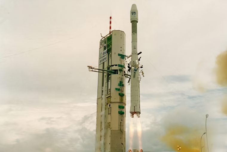
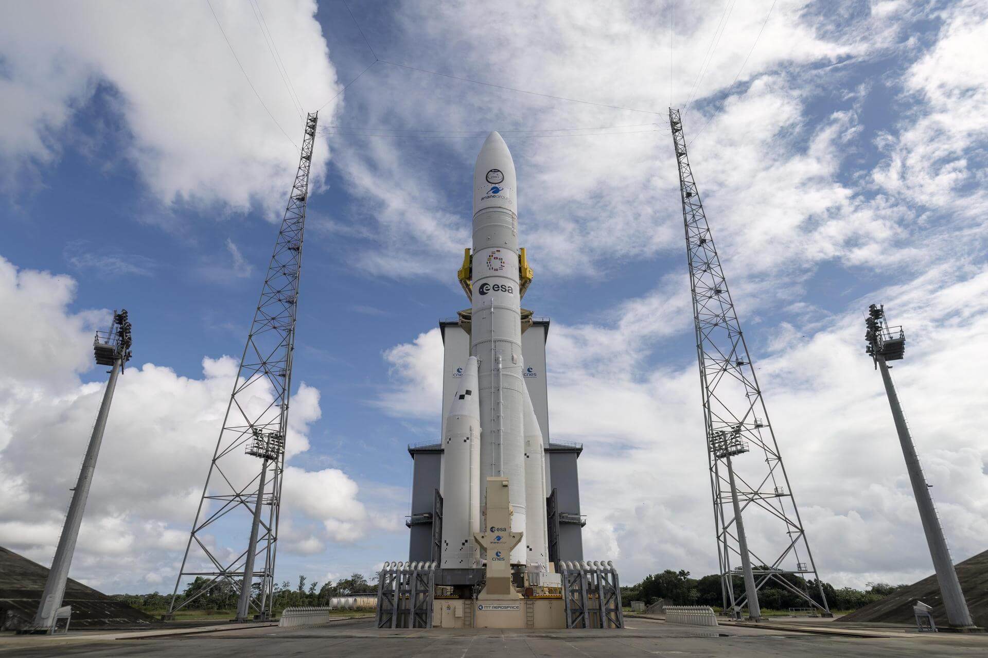
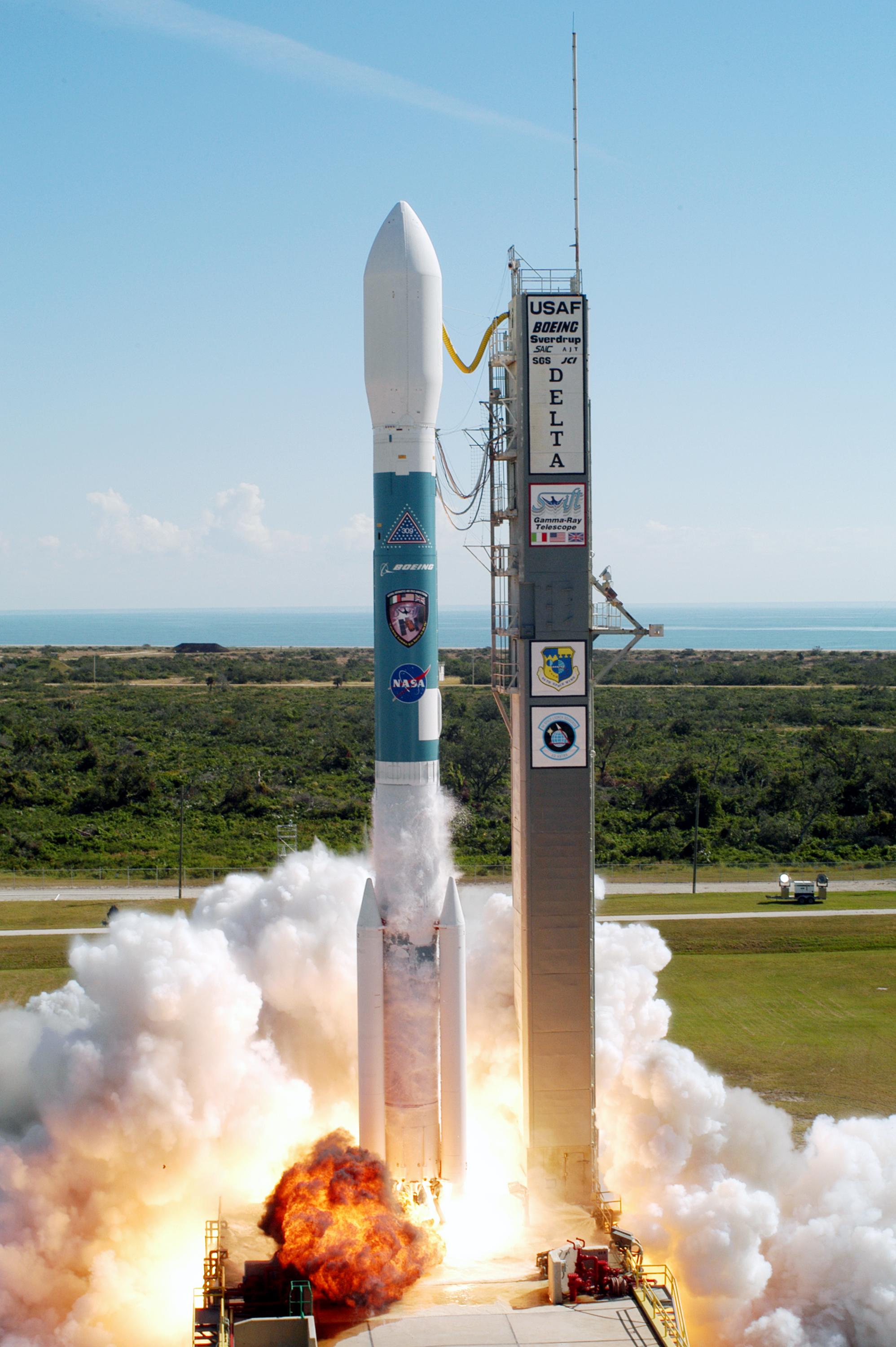
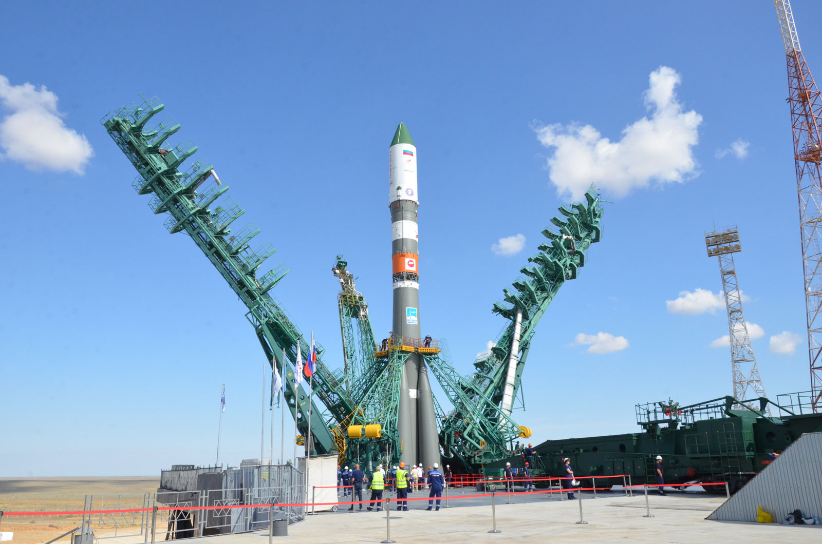
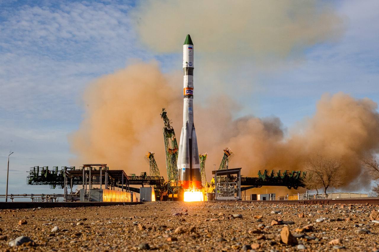
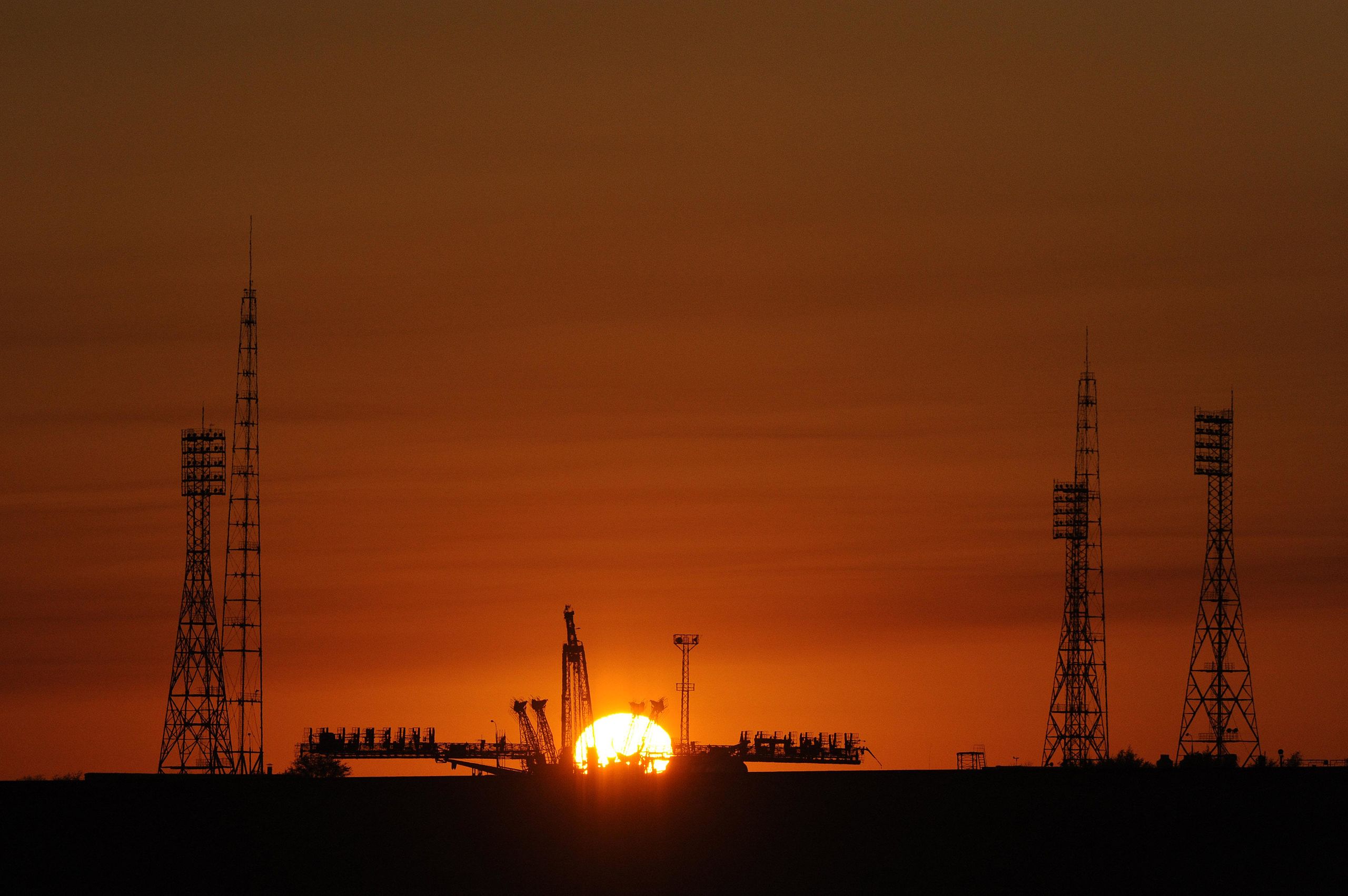
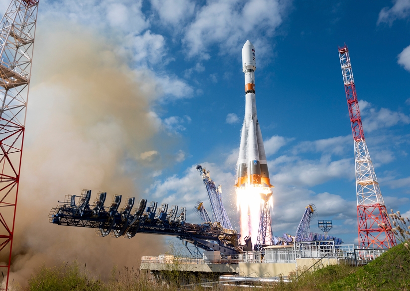
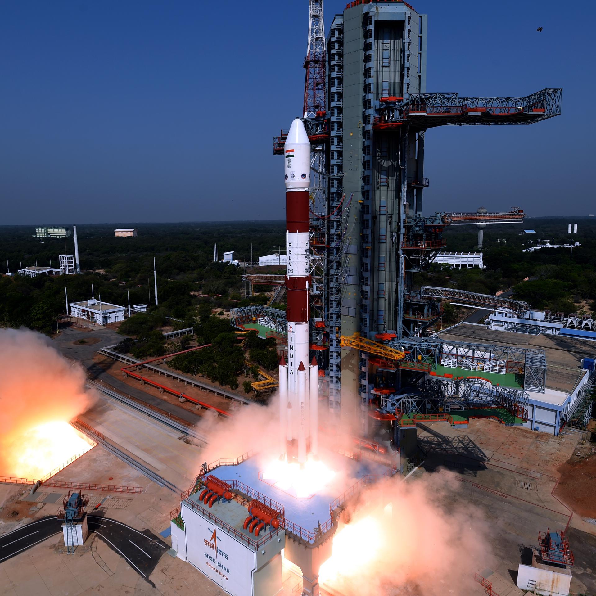
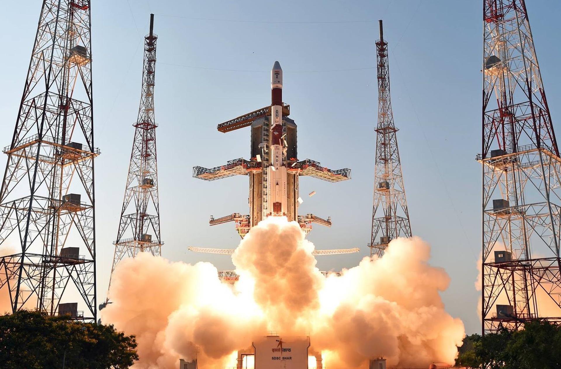
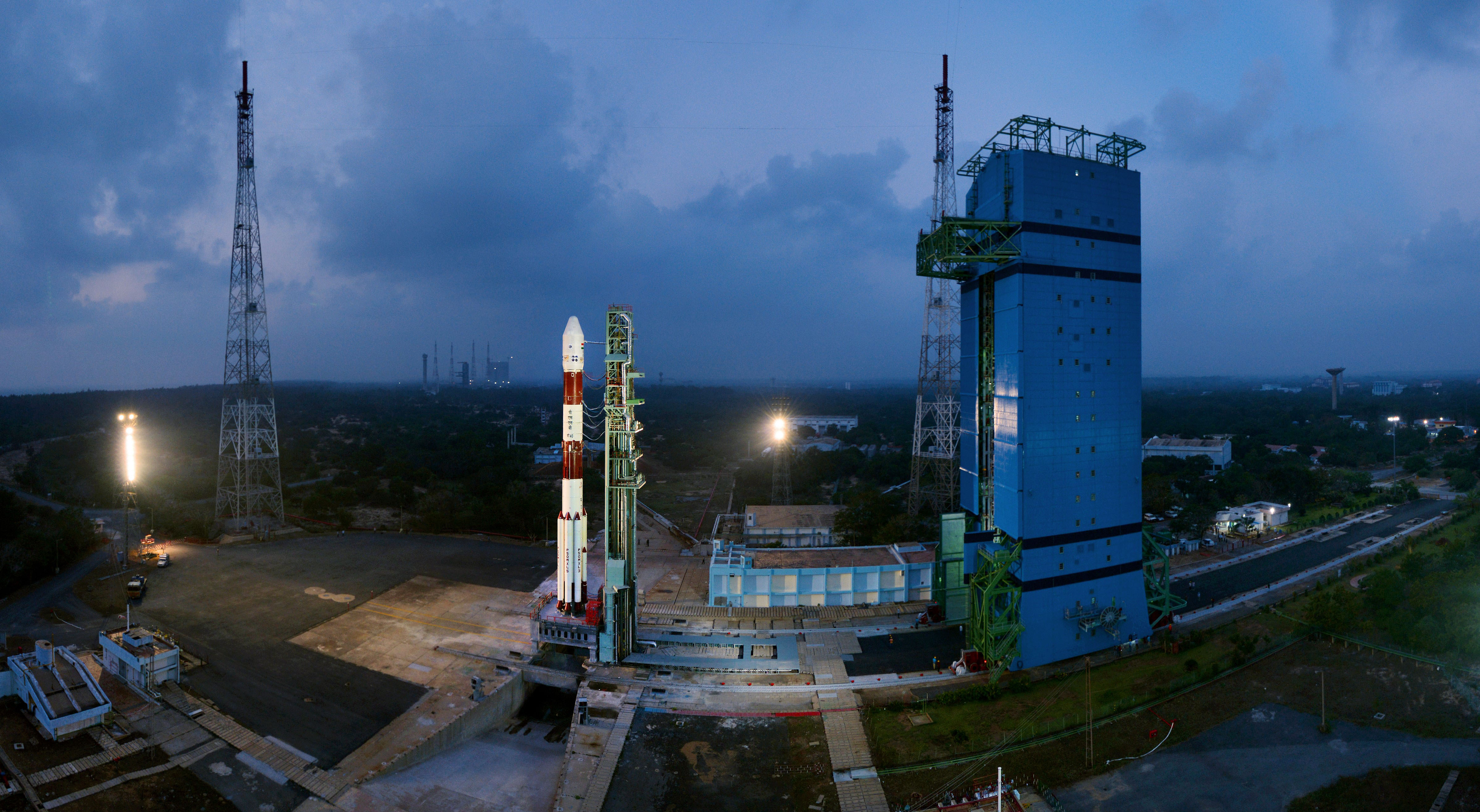
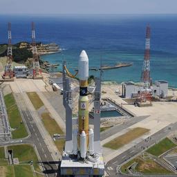
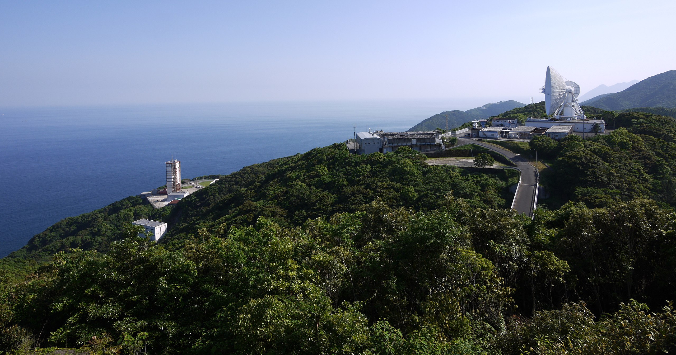
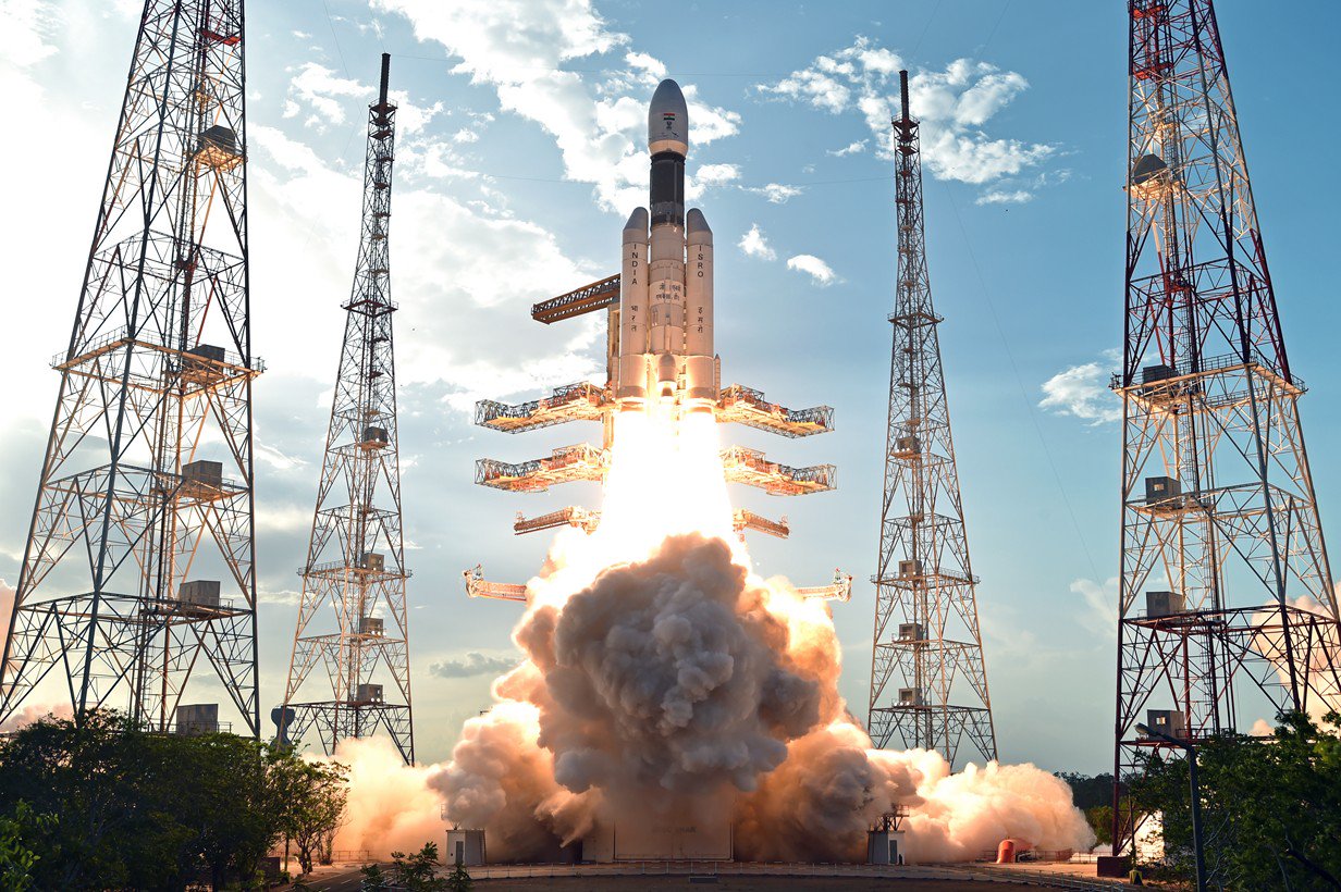
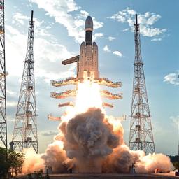
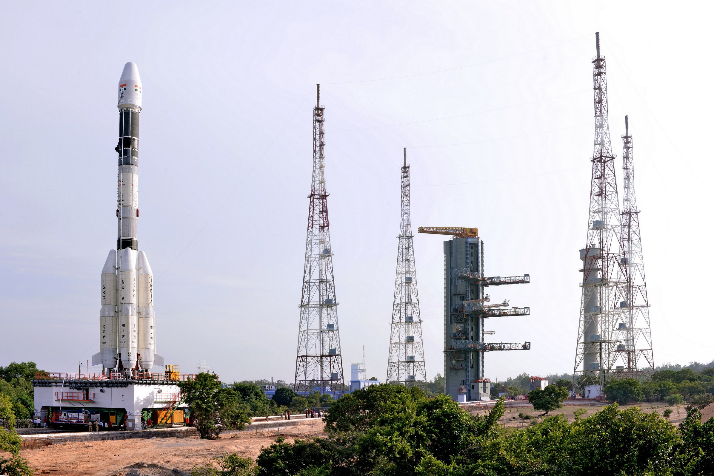
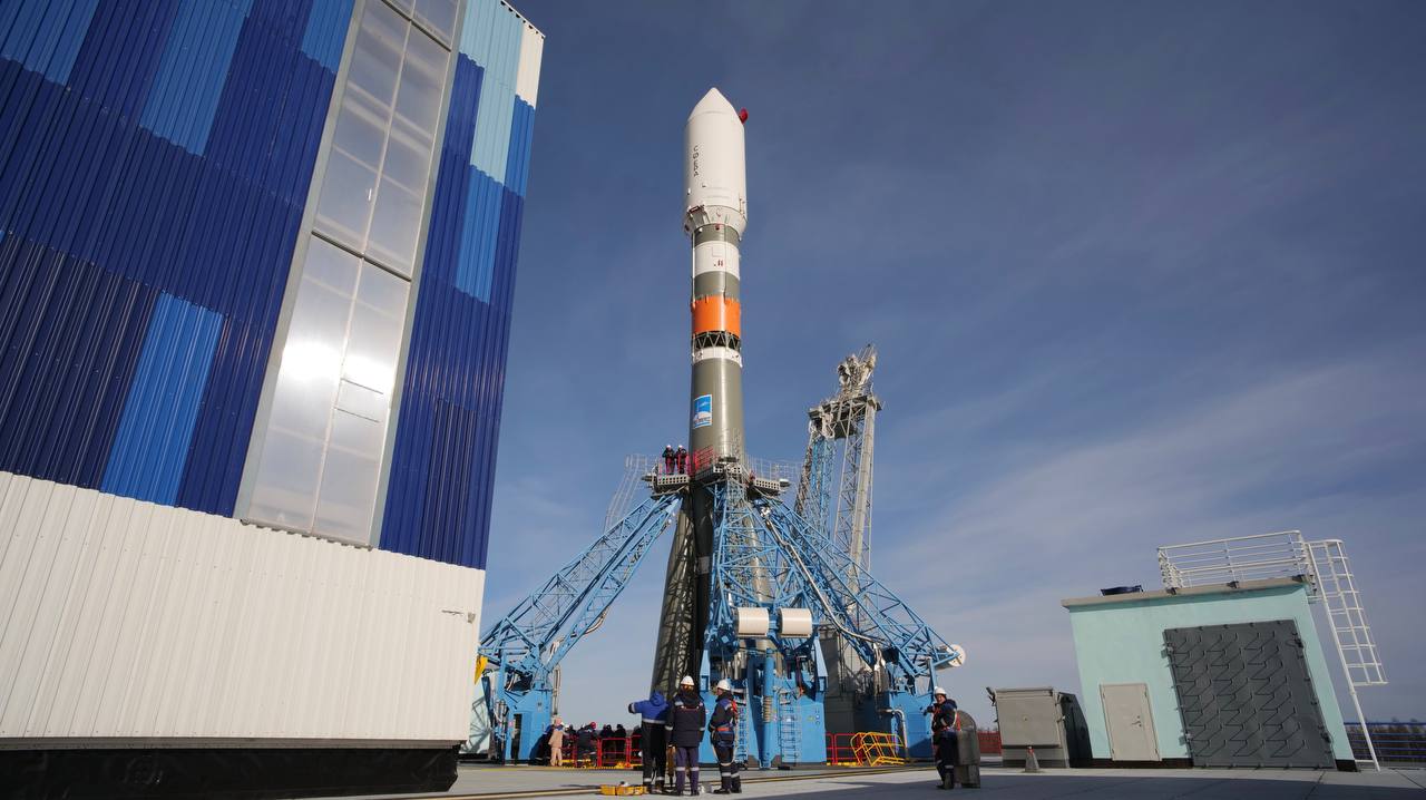
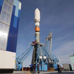
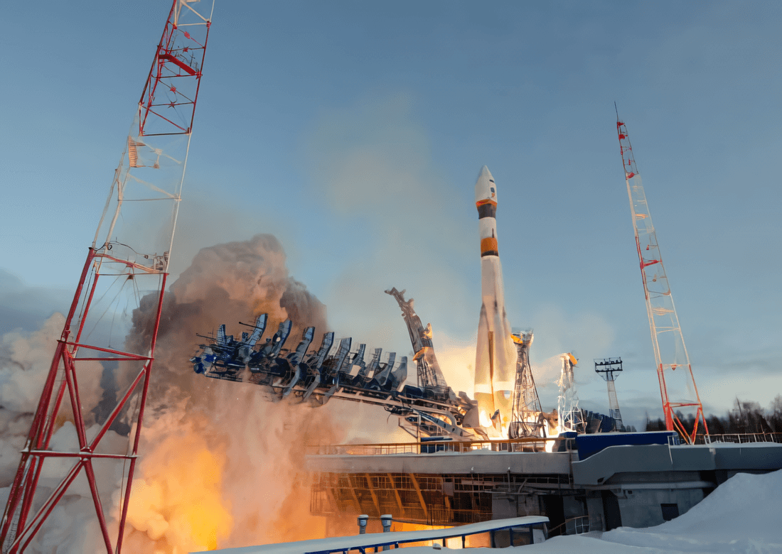