Programs List
API endpoint that returns Program objects.
GET /2.2.0/program/?format=api&offset=10&ordering=-id
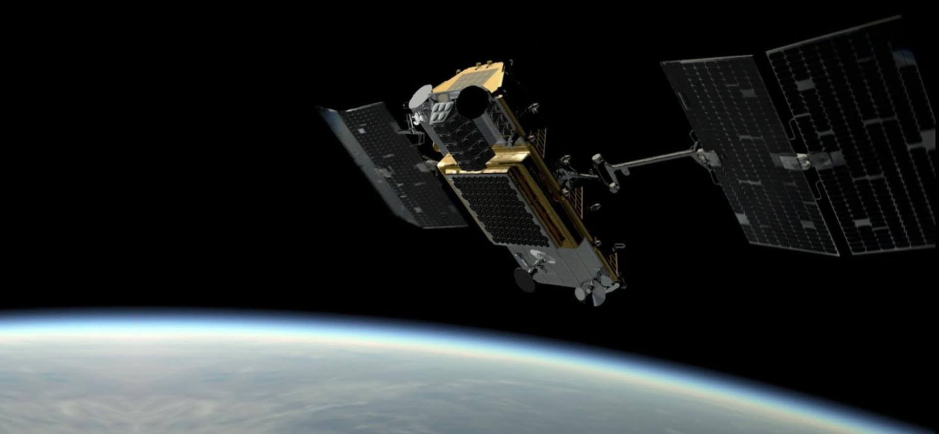
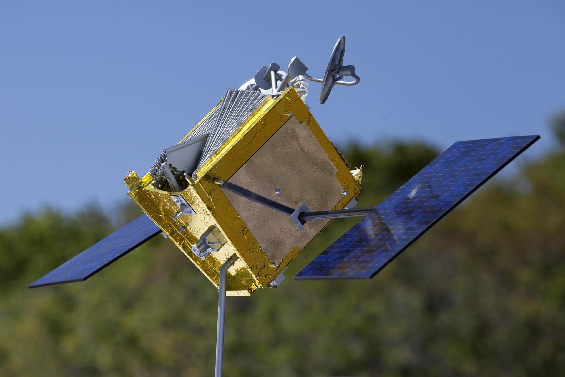
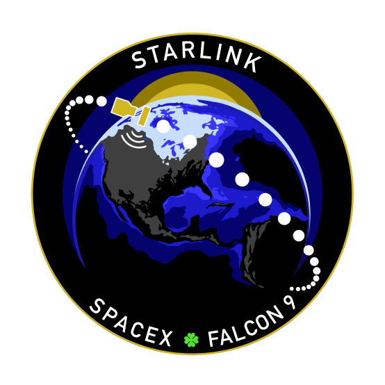
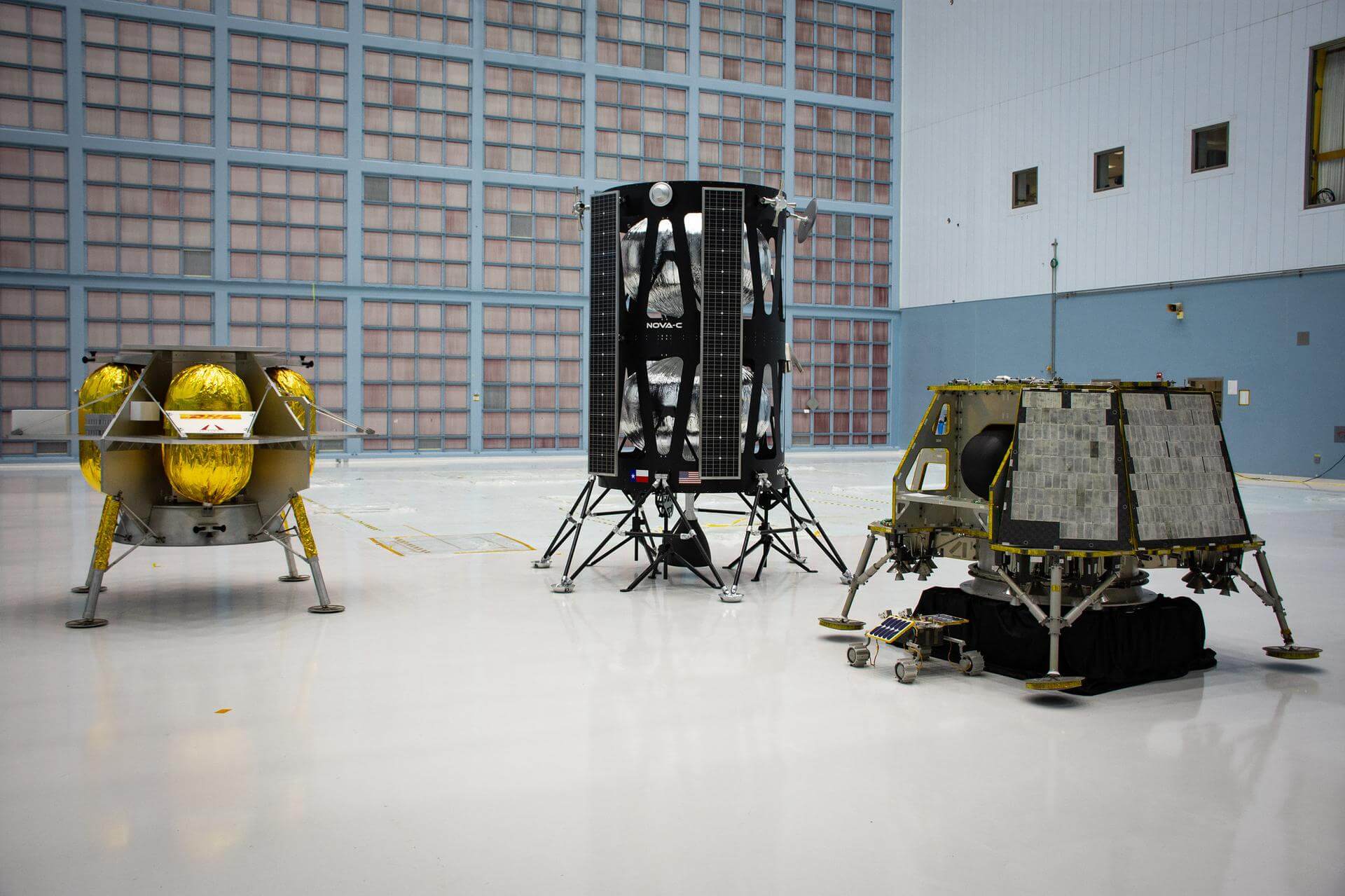
{ "count": 39, "next": "https://ll.thespacedevs.com/2.2.0/program/?format=api&limit=10&offset=20&ordering=-id", "previous": "https://ll.thespacedevs.com/2.2.0/program/?format=api&limit=10&ordering=-id", "results": [ { "id": 30, "url": "https://ll.thespacedevs.com/2.2.0/program/30/?format=api", "name": "Galileo", "description": "Galileo is a global navigation satellite system (GNSS) that went live in 2016, created by the European Union through the European Space Agency (ESA), operated by the European Union Agency for the Space Programme (EUSPA).", "agencies": [ { "id": 27, "url": "https://ll.thespacedevs.com/2.2.0/agencies/27/?format=api", "name": "European Space Agency", "type": "Multinational" } ], "image_url": "https://thespacedevs-prod.nyc3.digitaloceanspaces.com/media/images/galileo_program_20231230110547.png", "start_date": "2011-10-21T10:30:00Z", "end_date": null, "info_url": "https://www.gsc-europa.eu/", "wiki_url": "https://en.wikipedia.org/wiki/Galileo_(satellite_navigation)", "mission_patches": [], "type": { "id": 4, "name": "Navigation Constellation" } }, { "id": 29, "url": "https://ll.thespacedevs.com/2.2.0/program/29/?format=api", "name": "Global Positioning System", "description": "The Global Positioning System (GPS), originally Navstar GPS, is a satellite-based radio navigation system owned by the United States government and operated by the United States Space Force. It is one of the global navigation satellite systems (GNSS) that provide geolocation and time information to a GPS receiver anywhere on or near the Earth where there is an unobstructed line of sight to four or more GPS satellites.", "agencies": [ { "id": 1041, "url": "https://ll.thespacedevs.com/2.2.0/agencies/1041/?format=api", "name": "United States Space Force", "type": "Government" } ], "image_url": "https://thespacedevs-prod.nyc3.digitaloceanspaces.com/media/images/global2520posi_program_20231229182501.png", "start_date": "1978-02-22T00:00:00Z", "end_date": null, "info_url": "https://www.gps.gov/", "wiki_url": "https://en.wikipedia.org/wiki/Global_Positioning_System", "mission_patches": [], "type": { "id": 4, "name": "Navigation Constellation" } }, { "id": 28, "url": "https://ll.thespacedevs.com/2.2.0/program/28/?format=api", "name": "Iridium Constellation", "description": "The Iridium satellite constellation provides L band voice and data information coverage to satellite phones, satellite messenger communication devices and integrated transceivers.", "agencies": [ { "id": 202, "url": "https://ll.thespacedevs.com/2.2.0/agencies/202/?format=api", "name": "Iridium Communications", "type": "Commercial" } ], "image_url": "https://thespacedevs-prod.nyc3.digitaloceanspaces.com/media/images/iridium2520con_program_20231228184831.jpeg", "start_date": "1997-05-05T00:00:00Z", "end_date": null, "info_url": "https://iridium.com/", "wiki_url": "https://en.wikipedia.org/wiki/Iridium_satellite_constellation", "mission_patches": [], "type": { "id": 3, "name": "Communication Constellation" } }, { "id": 27, "url": "https://ll.thespacedevs.com/2.2.0/program/27/?format=api", "name": "Amazon Leo", "description": "Amazon Leo is a satellite internet constellation aimed at providing high-speed, low-latency broadband connectivity to underserved and remote areas globally. The project involves deploying a constellation of low Earth orbit (LEO) satellites to create a satellite internet network capable of delivering reliable internet access.", "agencies": [ { "id": 1058, "url": "https://ll.thespacedevs.com/2.2.0/agencies/1058/?format=api", "name": "Amazon Leo", "type": "Private" } ], "image_url": "https://thespacedevs-prod.nyc3.digitaloceanspaces.com/media/images/project2520kui_program_20231228165031.jpeg", "start_date": "2023-10-16T18:06:00Z", "end_date": null, "info_url": "https://en.wikipedia.org/wiki/Kuiper_Systems", "wiki_url": "https://aboutamazon.com/what-we-do/devices-services/project-kuiper", "mission_patches": [], "type": { "id": 3, "name": "Communication Constellation" } }, { "id": 26, "url": "https://ll.thespacedevs.com/2.2.0/program/26/?format=api", "name": "OneWeb", "description": "Satellite constellation in low Earth orbit that can provide high-speed broadband internet to rural and isolated areas.", "agencies": [ { "id": 1081, "url": "https://ll.thespacedevs.com/2.2.0/agencies/1081/?format=api", "name": "Eutelsat OneWeb", "type": "Commercial" } ], "image_url": "https://thespacedevs-prod.nyc3.digitaloceanspaces.com/media/images/oneweb_program_20231228155842.jpeg", "start_date": "2019-02-27T21:37:00Z", "end_date": null, "info_url": "https://oneweb.net/", "wiki_url": "https://en.wikipedia.org/wiki/Eutelsat_OneWeb", "mission_patches": [], "type": { "id": 3, "name": "Communication Constellation" } }, { "id": 25, "url": "https://ll.thespacedevs.com/2.2.0/program/25/?format=api", "name": "Starlink", "description": "Starlink is a satellite internet constellation operated by American aerospace company SpaceX", "agencies": [ { "id": 121, "url": "https://ll.thespacedevs.com/2.2.0/agencies/121/?format=api", "name": "SpaceX", "type": "Commercial" } ], "image_url": "https://thespacedevs-prod.nyc3.digitaloceanspaces.com/media/images/starlink_program_20231228154508.jpeg", "start_date": "2018-02-22T14:17:00Z", "end_date": null, "info_url": "https://starlink.com", "wiki_url": "https://en.wikipedia.org/wiki/Starlink", "mission_patches": [ { "id": 7, "name": "Space X Starlink Mission Patch", "priority": 10, "image_url": "https://thespacedevs-prod.nyc3.digitaloceanspaces.com/media/mission_patch_images/space2520x252_mission_patch_20221011205756.png", "agency": { "id": 121, "url": "https://ll.thespacedevs.com/2.2.0/agencies/121/?format=api", "name": "SpaceX", "type": "Commercial" } } ], "type": { "id": 3, "name": "Communication Constellation" } }, { "id": 24, "url": "https://ll.thespacedevs.com/2.2.0/program/24/?format=api", "name": "Commercial Lunar Payload Services", "description": "Commercial Lunar Payload Services (CLPS) is a NASA program to contract transportation services able to send small robotic landers and rovers to the Moon's south polar region.", "agencies": [ { "id": 1069, "url": "https://ll.thespacedevs.com/2.2.0/agencies/1069/?format=api", "name": "Astrobotic Technology", "type": "Private" }, { "id": 1067, "url": "https://ll.thespacedevs.com/2.2.0/agencies/1067/?format=api", "name": "Intuitive Machines", "type": "Commercial" }, { "id": 44, "url": "https://ll.thespacedevs.com/2.2.0/agencies/44/?format=api", "name": "National Aeronautics and Space Administration", "type": "Government" } ], "image_url": "https://thespacedevs-prod.nyc3.digitaloceanspaces.com/media/images/commercial2520_program_20231127193630.jpeg", "start_date": "2018-04-27T00:00:00Z", "end_date": null, "info_url": "https://www.nasa.gov/commercial-lunar-payload-services/", "wiki_url": "https://en.wikipedia.org/wiki/Commercial_Lunar_Payload_Services", "mission_patches": [], "type": { "id": 5, "name": "Exploration" } }, { "id": 23, "url": "https://ll.thespacedevs.com/2.2.0/program/23/?format=api", "name": "Salyut", "description": "The Salyut programme was the first space station programme, undertaken by the Soviet Union. It involved a series of four crewed scientific research space stations and two crewed military reconnaissance space stations over a period of 15 years, from 1971 to 1986.", "agencies": [ { "id": 66, "url": "https://ll.thespacedevs.com/2.2.0/agencies/66/?format=api", "name": "Soviet Space Program", "type": "Government" } ], "image_url": "https://thespacedevs-prod.nyc3.digitaloceanspaces.com/media/images/salyut_program_20230506090532.png", "start_date": "1971-04-19T01:40:00Z", "end_date": "1986-07-16T12:34:05Z", "info_url": null, "wiki_url": "https://en.wikipedia.org/wiki/Salyut_programme", "mission_patches": [], "type": { "id": 2, "name": "Human Spaceflight" } }, { "id": 22, "url": "https://ll.thespacedevs.com/2.2.0/program/22/?format=api", "name": "Copernicus", "description": "Copernicus is the European Union's Earth observation programme coordinated and managed for the European Commission by the European Union Agency for the Space Programme in partnership with the European Space Agency (ESA), the EU Member States. It aims at achieving a global, continuous, autonomous, high quality, wide range Earth observation capacity. Providing accurate, timely and easily accessible information to, among other things, improve the management of the environment, understand and mitigate the effects of climate change, and ensure civil security.", "agencies": [ { "id": 27, "url": "https://ll.thespacedevs.com/2.2.0/agencies/27/?format=api", "name": "European Space Agency", "type": "Multinational" }, { "id": 1043, "url": "https://ll.thespacedevs.com/2.2.0/agencies/1043/?format=api", "name": "European Union Agency for the Space Programme", "type": "Multinational" } ], "image_url": "https://thespacedevs-prod.nyc3.digitaloceanspaces.com/media/images/copernicus_program_20221129162831.png", "start_date": "2014-04-03T00:00:00Z", "end_date": null, "info_url": "https://www.copernicus.eu", "wiki_url": "https://en.wikipedia.org/wiki/Copernicus_Programme", "mission_patches": [], "type": { "id": 8, "name": "Earth Observation" } }, { "id": 21, "url": "https://ll.thespacedevs.com/2.2.0/program/21/?format=api", "name": "Gaganyaan", "description": "Gaganyaan is India's first human spaceflight program.", "agencies": [ { "id": 31, "url": "https://ll.thespacedevs.com/2.2.0/agencies/31/?format=api", "name": "Indian Space Research Organization", "type": "Government" } ], "image_url": "https://thespacedevs-prod.nyc3.digitaloceanspaces.com/media/images/gaganyaan_program_20220120151540.jpg", "start_date": "2018-08-15T00:00:00Z", "end_date": null, "info_url": "https://www.isro.gov.in/frequently-asked-questions/gaganyaan", "wiki_url": "https://en.wikipedia.org/wiki/Gaganyaan", "mission_patches": [], "type": { "id": 2, "name": "Human Spaceflight" } } ] }