Pad List
API endpoint that allows Location instances to be viewed.
GET: Return a list of all the existing location instances.
FILTERS: Parameters - 'id', 'agency_id', 'name', 'name__contains', 'latitude', 'latitude__contains', 'longitude', 'longitude__contains', 'location__name', 'location__name__contains', 'location__id', 'orbital_launch_attempt_count', 'total_launch_count'
ORDERING: Fields - 'id', 'name', 'location__id', 'location__name', 'orbital_launch_attempt_count', 'total_launch_count'
Example - /2.2.0/pad/?ordering=location__name
GET /2.2.0/pad/?format=api&offset=80&ordering=-location__name
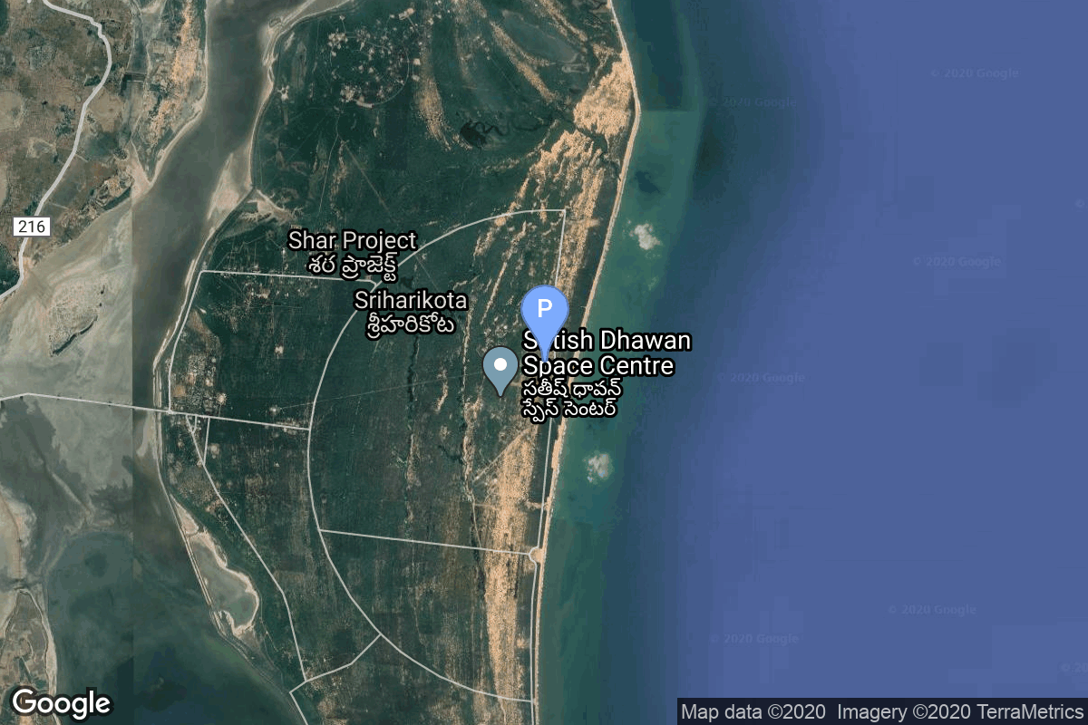
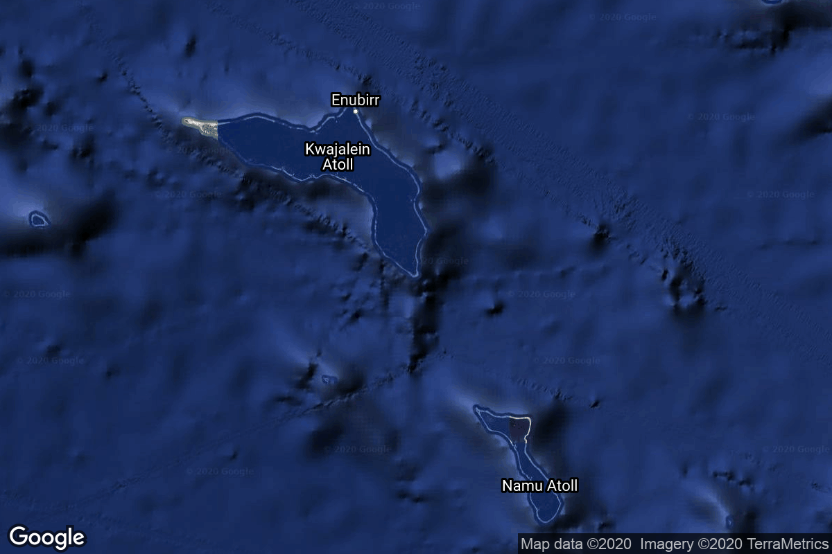
{ "count": 234, "next": "https://ll.thespacedevs.com/2.2.0/pad/?format=api&limit=10&offset=90&ordering=-location__name", "previous": "https://ll.thespacedevs.com/2.2.0/pad/?format=api&limit=10&offset=70&ordering=-location__name", "results": [ { "id": 213, "url": "https://ll.thespacedevs.com/2.2.0/pad/213/?format=api", "agency_id": null, "name": "Launch Pad Callum", "description": "Multi-user launch pad located at SaxaVord Spaceport. Users include Skyrora, HyImpulse and Isar Aerospace.", "info_url": null, "wiki_url": null, "map_url": null, "latitude": null, "longitude": null, "location": { "id": 157, "url": "https://ll.thespacedevs.com/2.2.0/location/157/?format=api", "name": "SaxaVord Spaceport", "country_code": "GBR", "description": "SaxaVord Spaceport is a UK spaceport located on the Lamba Ness peninsula on Unst, the most northerly of the inhabited Shetland Islands off the coast of Scotland. The site is near the RAF Saxa Vord radar station and the settlement of Skaw, adjacent to the Saxa Vord distillery.", "map_image": "https://thespacedevs-prod.nyc3.digitaloceanspaces.com/media/map_images/location_saxavord_spaceport_20211102161146.jpg", "timezone_name": "Europe/London", "total_launch_count": 0, "total_landing_count": 0 }, "country_code": "GBR", "map_image": "https://thespacedevs-prod.nyc3.digitaloceanspaces.com/media/map_images/pad_launch_pad_callum_20231013025800.jpg", "total_launch_count": 0, "orbital_launch_attempt_count": 0 }, { "id": 73, "url": "https://ll.thespacedevs.com/2.2.0/pad/73/?format=api", "agency_id": null, "name": "Unknown Pad", "description": "There is more then one possible pad for this launch.", "info_url": null, "wiki_url": null, "map_url": "https://www.google.com/maps?q=13.733,80.235", "latitude": "13.733", "longitude": "80.235", "location": { "id": 14, "url": "https://ll.thespacedevs.com/2.2.0/location/14/?format=api", "name": "Satish Dhawan Space Centre, India", "country_code": "IND", "description": "Satish Dhawan Space Centre – SDSC (formerly Sriharikota Range – SHAR),[1] is the primary spaceport of the Indian Space Research Organisation (ISRO), located in Sriharikota, Andhra Pradesh.", "map_image": "https://thespacedevs-prod.nyc3.digitaloceanspaces.com/media/map_images/location_14_20200803142403.jpg", "timezone_name": "Asia/Kolkata", "total_launch_count": 103, "total_landing_count": 0 }, "country_code": "IND", "map_image": "https://thespacedevs-prod.nyc3.digitaloceanspaces.com/media/map_images/pad_73_20200803143531.jpg", "total_launch_count": 0, "orbital_launch_attempt_count": 0 }, { "id": 82, "url": "https://ll.thespacedevs.com/2.2.0/pad/82/?format=api", "agency_id": 31, "name": "Satish Dhawan Space Centre Second Launch Pad", "description": "The second launch pad was built between 1999 and 2003. It became functional in 2005 and has since been used for various rockets. This launch pad supports missions by PSLV, GSLV, LVM3 rockets and is even envisioned for India's future crewed spaceflight.", "info_url": null, "wiki_url": "https://en.wikipedia.org/wiki/Satish_Dhawan_Space_Centre_Second_Launch_Pad", "map_url": "https://www.google.com/maps?q=13.7199,80.2304", "latitude": "13.7199", "longitude": "80.2304", "location": { "id": 14, "url": "https://ll.thespacedevs.com/2.2.0/location/14/?format=api", "name": "Satish Dhawan Space Centre, India", "country_code": "IND", "description": "Satish Dhawan Space Centre – SDSC (formerly Sriharikota Range – SHAR),[1] is the primary spaceport of the Indian Space Research Organisation (ISRO), located in Sriharikota, Andhra Pradesh.", "map_image": "https://thespacedevs-prod.nyc3.digitaloceanspaces.com/media/map_images/location_14_20200803142403.jpg", "timezone_name": "Asia/Kolkata", "total_launch_count": 103, "total_landing_count": 0 }, "country_code": "IND", "map_image": "https://thespacedevs-prod.nyc3.digitaloceanspaces.com/media/map_images/pad_82_20200803143602.jpg", "total_launch_count": 32, "orbital_launch_attempt_count": 31 }, { "id": 50, "url": "https://ll.thespacedevs.com/2.2.0/pad/50/?format=api", "agency_id": 31, "name": "Satish Dhawan Space Centre First Launch Pad", "description": "India has two launch pads at the site. The First Launch Pad, operational since 1993, is used for Polar Satellite Launch Vehicle, Small Satellite Launch Vehicle and formerly used by Geosynchronous Satellite Launch Vehicle.", "info_url": null, "wiki_url": "https://en.wikipedia.org/wiki/Satish_Dhawan_Space_Centre_First_Launch_Pad", "map_url": "https://www.google.com/maps?q=13.733,80.235", "latitude": "13.733", "longitude": "80.235", "location": { "id": 14, "url": "https://ll.thespacedevs.com/2.2.0/location/14/?format=api", "name": "Satish Dhawan Space Centre, India", "country_code": "IND", "description": "Satish Dhawan Space Centre – SDSC (formerly Sriharikota Range – SHAR),[1] is the primary spaceport of the Indian Space Research Organisation (ISRO), located in Sriharikota, Andhra Pradesh.", "map_image": "https://thespacedevs-prod.nyc3.digitaloceanspaces.com/media/map_images/location_14_20200803142403.jpg", "timezone_name": "Asia/Kolkata", "total_launch_count": 103, "total_landing_count": 0 }, "country_code": "IND", "map_image": "https://thespacedevs-prod.nyc3.digitaloceanspaces.com/media/map_images/pad_50_20200803143457.jpg", "total_launch_count": 63, "orbital_launch_attempt_count": 62 }, { "id": 40, "url": "https://ll.thespacedevs.com/2.2.0/pad/40/?format=api", "agency_id": 31, "name": "SLV-3 Launch Pad", "description": "The SLV3 Launch Pad, began operation in 1979 and was decommissioned in 1994. It was used by two launch vehicles of the ISRO: the Satellite Launch Vehicle (SLV) and the Augmented Satellite Launch Vehicle (ASLV) Initially it was built for launching SLV-3s but was later also used as an ASLV launch complex.", "info_url": null, "wiki_url": "https://en.wikipedia.org/wiki/Satish_Dhawan_Space_Centre_SLV_Launch_Pad", "map_url": "https://www.google.com/maps?q=13.666193,80.227231", "latitude": "13.666193", "longitude": "80.227231", "location": { "id": 14, "url": "https://ll.thespacedevs.com/2.2.0/location/14/?format=api", "name": "Satish Dhawan Space Centre, India", "country_code": "IND", "description": "Satish Dhawan Space Centre – SDSC (formerly Sriharikota Range – SHAR),[1] is the primary spaceport of the Indian Space Research Organisation (ISRO), located in Sriharikota, Andhra Pradesh.", "map_image": "https://thespacedevs-prod.nyc3.digitaloceanspaces.com/media/map_images/location_14_20200803142403.jpg", "timezone_name": "Asia/Kolkata", "total_launch_count": 103, "total_landing_count": 0 }, "country_code": "IND", "map_image": "https://thespacedevs-prod.nyc3.digitaloceanspaces.com/media/map_images/pad_40_20200803143325.jpg", "total_launch_count": 8, "orbital_launch_attempt_count": 8 }, { "id": 107, "url": "https://ll.thespacedevs.com/2.2.0/pad/107/?format=api", "agency_id": null, "name": "Omelek Island", "description": null, "info_url": null, "wiki_url": "https://en.wikipedia.org/wiki/Omelek_Island", "map_url": "https://www.google.com/maps?q=9.047861,167.743", "latitude": "9.047861", "longitude": "167.743", "location": { "id": 142, "url": "https://ll.thespacedevs.com/2.2.0/location/142/?format=api", "name": "Ronald Reagan Ballistic Missile Defense Test Site, Kwajalein Atoll, Marshall Islands", "country_code": "MHL", "description": "The Ronald Reagan Ballistic Missile Defense Test Site is a missile test range in Marshall Islands. It covers about 750,000 square miles (1,900,000 km2) and includes rocket launch sites at the Kwajalein Atoll (on multiple islands), Wake Island, and Aur Atoll. It primarily functions as a test facility for U.S. missile defense and space research programs.", "map_image": "https://thespacedevs-prod.nyc3.digitaloceanspaces.com/media/map_images/location_142_20200803142511.jpg", "timezone_name": "Pacific/Tarawa", "total_launch_count": 5, "total_landing_count": 0 }, "country_code": "MHL", "map_image": "https://thespacedevs-prod.nyc3.digitaloceanspaces.com/media/map_images/pad_107_20200803143450.jpg", "total_launch_count": 5, "orbital_launch_attempt_count": 5 }, { "id": 210, "url": "https://ll.thespacedevs.com/2.2.0/pad/210/?format=api", "agency_id": null, "name": "Unknown Pad", "description": null, "info_url": null, "wiki_url": null, "map_url": null, "latitude": "-39.260881", "longitude": "177.865826", "location": { "id": 10, "url": "https://ll.thespacedevs.com/2.2.0/location/10/?format=api", "name": "Rocket Lab Launch Complex 1, Mahia Peninsula, New Zealand", "country_code": "NZL", "description": "Rocket Lab Launch Complex 1 is a commercial spaceport located close to Ahuriri Point at the southern tip of Māhia Peninsula, on the east coast of New Zealand's North Island. It is owned and operated by private spaceflight company Rocket Lab and supports launches of the company's Electron rocket for small satellites. With the launch of Electron on 25 May 2017, it became the first private spaceport to host an orbital launch attempt, and the first site in New Zealand to host an orbital launch attempt. With the Electron launch of 21 January 2018, it became the first private spaceport to host a successful orbital launch.", "map_image": "https://thespacedevs-prod.nyc3.digitaloceanspaces.com/media/map_images/location_10_20200803142509.jpg", "timezone_name": "Pacific/Auckland", "total_launch_count": 74, "total_landing_count": 17 }, "country_code": "NZL", "map_image": "https://thespacedevs-prod.nyc3.digitaloceanspaces.com/media/map_images/pad_210_20230819165718.jpg", "total_launch_count": 0, "orbital_launch_attempt_count": 0 }, { "id": 65, "url": "https://ll.thespacedevs.com/2.2.0/pad/65/?format=api", "agency_id": 147, "name": "Rocket Lab Launch Complex 1A", "description": "", "info_url": null, "wiki_url": "https://en.wikipedia.org/wiki/Rocket_Lab_Launch_Complex_1", "map_url": "https://www.google.com/maps?q=-39.262833,177.864469", "latitude": "-39.262833", "longitude": "177.864469", "location": { "id": 10, "url": "https://ll.thespacedevs.com/2.2.0/location/10/?format=api", "name": "Rocket Lab Launch Complex 1, Mahia Peninsula, New Zealand", "country_code": "NZL", "description": "Rocket Lab Launch Complex 1 is a commercial spaceport located close to Ahuriri Point at the southern tip of Māhia Peninsula, on the east coast of New Zealand's North Island. It is owned and operated by private spaceflight company Rocket Lab and supports launches of the company's Electron rocket for small satellites. With the launch of Electron on 25 May 2017, it became the first private spaceport to host an orbital launch attempt, and the first site in New Zealand to host an orbital launch attempt. With the Electron launch of 21 January 2018, it became the first private spaceport to host a successful orbital launch.", "map_image": "https://thespacedevs-prod.nyc3.digitaloceanspaces.com/media/map_images/location_10_20200803142509.jpg", "timezone_name": "Pacific/Auckland", "total_launch_count": 74, "total_landing_count": 17 }, "country_code": "NZL", "map_image": "https://thespacedevs-prod.nyc3.digitaloceanspaces.com/media/map_images/pad_65_20200803143549.jpg", "total_launch_count": 39, "orbital_launch_attempt_count": 39 }, { "id": 185, "url": "https://ll.thespacedevs.com/2.2.0/pad/185/?format=api", "agency_id": 147, "name": "Rocket Lab Launch Complex 1B", "description": "", "info_url": null, "wiki_url": "https://en.wikipedia.org/wiki/Rocket_Lab_Launch_Complex_1", "map_url": "https://www.google.com/maps?q=-39.262833,177.864469", "latitude": "-39.262833", "longitude": "177.864469", "location": { "id": 10, "url": "https://ll.thespacedevs.com/2.2.0/location/10/?format=api", "name": "Rocket Lab Launch Complex 1, Mahia Peninsula, New Zealand", "country_code": "NZL", "description": "Rocket Lab Launch Complex 1 is a commercial spaceport located close to Ahuriri Point at the southern tip of Māhia Peninsula, on the east coast of New Zealand's North Island. It is owned and operated by private spaceflight company Rocket Lab and supports launches of the company's Electron rocket for small satellites. With the launch of Electron on 25 May 2017, it became the first private spaceport to host an orbital launch attempt, and the first site in New Zealand to host an orbital launch attempt. With the Electron launch of 21 January 2018, it became the first private spaceport to host a successful orbital launch.", "map_image": "https://thespacedevs-prod.nyc3.digitaloceanspaces.com/media/map_images/location_10_20200803142509.jpg", "timezone_name": "Pacific/Auckland", "total_launch_count": 74, "total_landing_count": 17 }, "country_code": "NZL", "map_image": "https://thespacedevs-prod.nyc3.digitaloceanspaces.com/media/map_images/pad_185_20200803143540.jpg", "total_launch_count": 35, "orbital_launch_attempt_count": 35 }, { "id": 180, "url": "https://ll.thespacedevs.com/2.2.0/pad/180/?format=api", "agency_id": null, "name": "Launch Area 6A", "description": null, "info_url": null, "wiki_url": "https://en.wikipedia.org/wiki/RAAF_Woomera_Range_Complex", "map_url": "https://www.google.com/maps?q=-30.9552778,136.5300282", "latitude": "-30.9552778", "longitude": "136.5300282", "location": { "id": 152, "url": "https://ll.thespacedevs.com/2.2.0/location/152/?format=api", "name": "RAAF Woomera Range Complex", "country_code": "AUS", "description": "The RAAF Woomera Range Complex (WRC) is a major Australian military and civil aerospace facility and operation located in South Australia, approximately 450 km (280 mi) north-west of Adelaide. The WRC is operated by the Royal Australian Air Force (RAAF), a Service of the Australian Defence Force (ADF). The complex has a land area of 122,188 km2 (47,177 sq mi) or roughly the size of North Korea or Pennsylvania. The airspace above the area is restricted and controlled by the RAAF for safety and security. The WRC is a highly specialised ADF test and evaluation capability operated by the RAAF for the purposes of testing defence materiel.", "map_image": "https://thespacedevs-prod.nyc3.digitaloceanspaces.com/media/map_images/location_152_20200803142502.jpg", "timezone_name": "Australia/Adelaide", "total_launch_count": 6, "total_landing_count": 0 }, "country_code": "AUS", "map_image": "https://thespacedevs-prod.nyc3.digitaloceanspaces.com/media/map_images/pad_180_20200803143508.jpg", "total_launch_count": 3, "orbital_launch_attempt_count": 3 } ] }