Pad List
API endpoint that allows Location instances to be viewed.
GET: Return a list of all the existing location instances.
FILTERS: Parameters - 'id', 'agency_id', 'name', 'name__contains', 'latitude', 'latitude__contains', 'longitude', 'longitude__contains', 'location__name', 'location__name__contains', 'location__id', 'orbital_launch_attempt_count', 'total_launch_count'
ORDERING: Fields - 'id', 'name', 'location__id', 'location__name', 'orbital_launch_attempt_count', 'total_launch_count'
Example - /2.2.0/pad/?ordering=location__name
GET /2.2.0/pad/?format=api&offset=50&ordering=-id
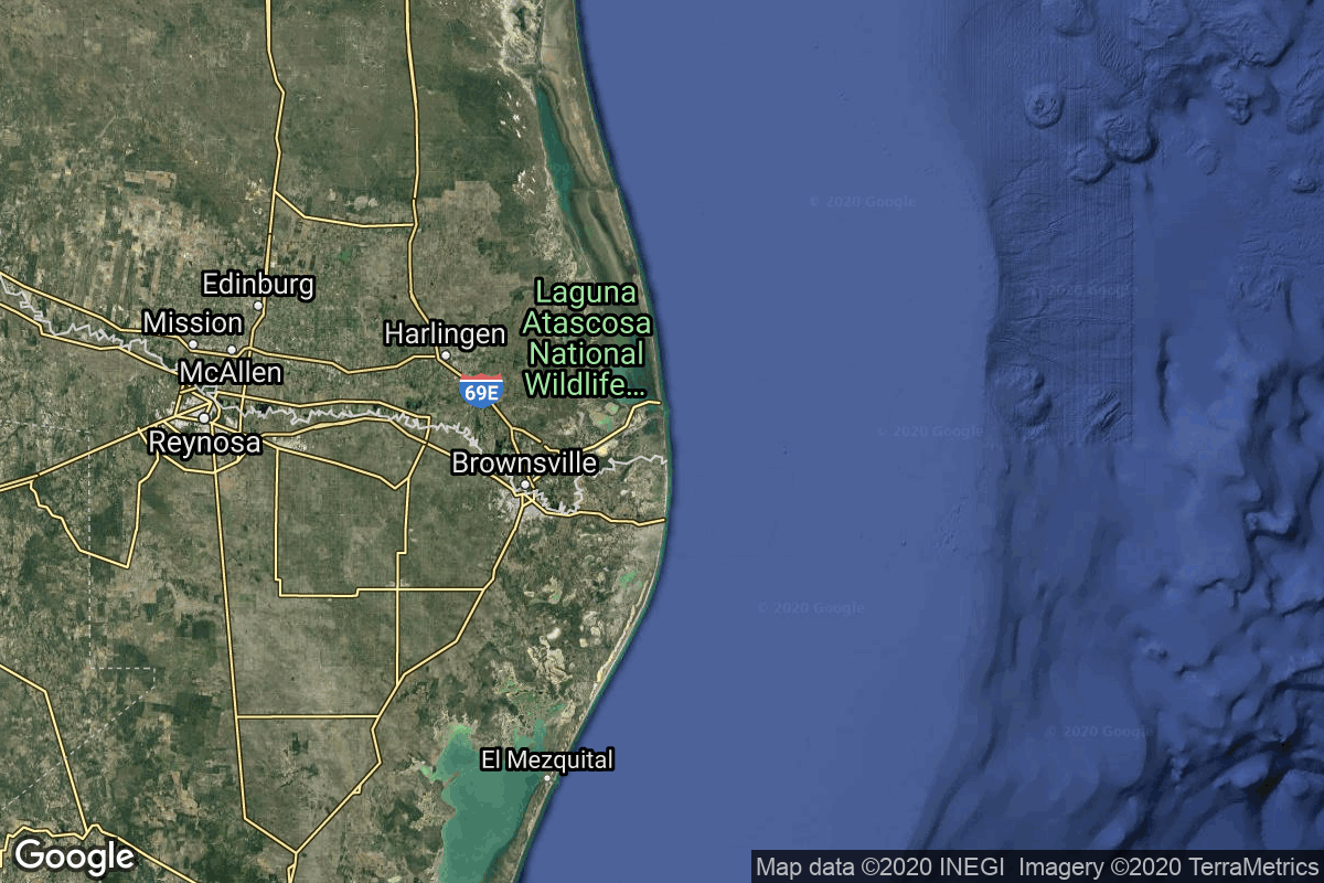
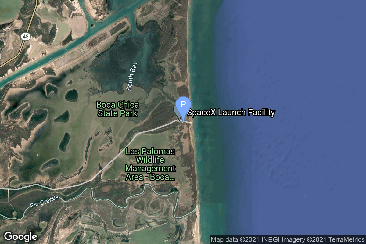
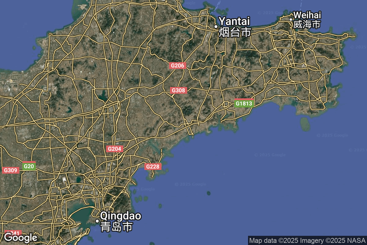
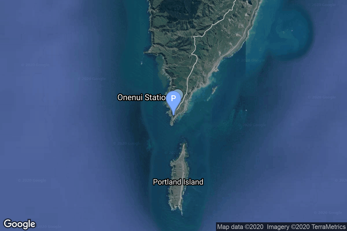
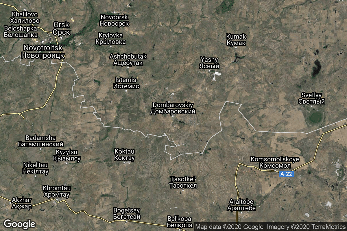
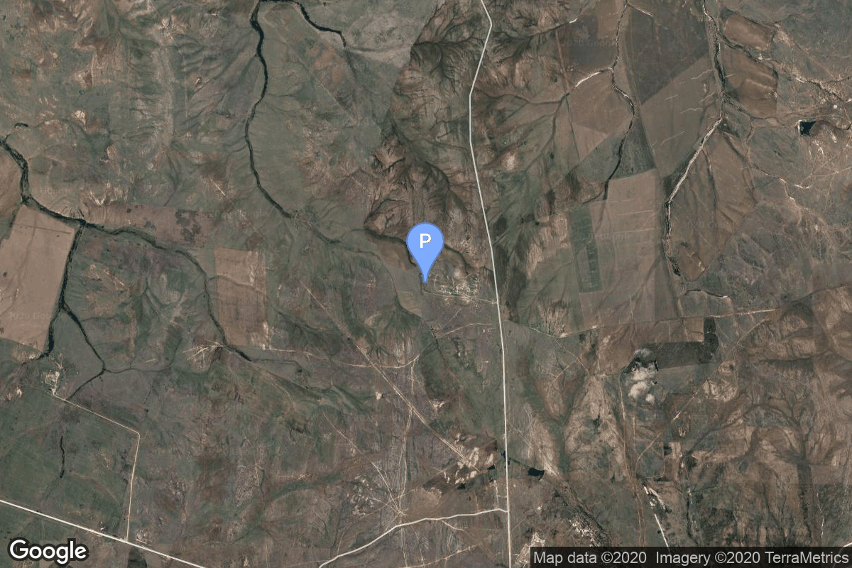
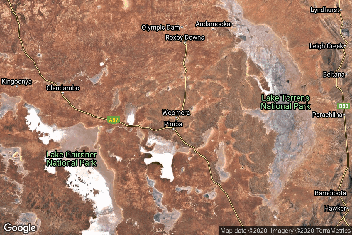
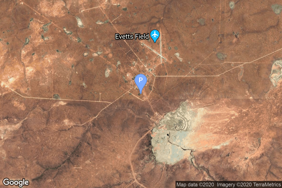
{ "count": 233, "next": "https://ll.thespacedevs.com/2.2.0/pad/?format=api&limit=10&offset=60&ordering=-id", "previous": "https://ll.thespacedevs.com/2.2.0/pad/?format=api&limit=10&offset=40&ordering=-id", "results": [ { "id": 188, "url": "https://ll.thespacedevs.com/2.2.0/pad/188/?format=api", "agency_id": 121, "name": "Orbital Launch Pad 1", "description": "The first launch and landing pad of the full version of the combined SpaceX Starship and Superheavy booster. First used for launch in April 2023.\r\n\r\nThe launch mount itself is named Orbital Launch Mount A.", "info_url": null, "wiki_url": "https://en.wikipedia.org/wiki/SpaceX_Starbase#Launch_site_(Orbital_Launch_Mount_(Pad_1_and_2))", "map_url": "https://www.google.com/maps?q=25.9962,-97.154423", "latitude": "25.9962", "longitude": "-97.154423", "location": { "id": 143, "url": "https://ll.thespacedevs.com/2.2.0/location/143/?format=api", "name": "SpaceX Starbase, TX, USA", "country_code": "USA", "description": "Starbase is an industrial complex for Starship rockets and the headquarters of the American aerospace manufacturer company SpaceX. Located near Brownsville, Texas, United States, it has been under construction since the late 2010s by SpaceX. Starbase is composed of a spaceport near the Gulf of Mexico, a production facility at the Boca Chica village, and a small structure test site along the Texas State Highway 4.", "map_image": "https://thespacedevs-prod.nyc3.digitaloceanspaces.com/media/map_images/location_143_20200803142438.jpg", "timezone_name": "America/Chicago", "total_launch_count": 20, "total_landing_count": 13 }, "country_code": "USA", "map_image": "https://thespacedevs-prod.nyc3.digitaloceanspaces.com/media/map_images/pad_orbital_launch_mount_a_20210514061342.jpg", "total_launch_count": 11, "orbital_launch_attempt_count": 0 }, { "id": 187, "url": "https://ll.thespacedevs.com/2.2.0/pad/187/?format=api", "agency_id": 121, "name": "Suborbital Pad B", "description": "Suborbital Pad B was used for 2 Starship high altitude flight tests. It is now being used for static fire tests", "info_url": null, "wiki_url": "https://en.wikipedia.org/wiki/SpaceX_South_Texas_Launch_Site", "map_url": "https://www.google.com/maps?q=25.997116,-97.15503099856647", "latitude": "25.997116", "longitude": "-97.15503099856647", "location": { "id": 143, "url": "https://ll.thespacedevs.com/2.2.0/location/143/?format=api", "name": "SpaceX Starbase, TX, USA", "country_code": "USA", "description": "Starbase is an industrial complex for Starship rockets and the headquarters of the American aerospace manufacturer company SpaceX. Located near Brownsville, Texas, United States, it has been under construction since the late 2010s by SpaceX. Starbase is composed of a spaceport near the Gulf of Mexico, a production facility at the Boca Chica village, and a small structure test site along the Texas State Highway 4.", "map_image": "https://thespacedevs-prod.nyc3.digitaloceanspaces.com/media/map_images/location_143_20200803142438.jpg", "timezone_name": "America/Chicago", "total_launch_count": 20, "total_landing_count": 13 }, "country_code": "USA", "map_image": "https://thespacedevs-prod.nyc3.digitaloceanspaces.com/media/map_images/pad_launch_pad_b_20201211004226.jpg", "total_launch_count": 2, "orbital_launch_attempt_count": 0 }, { "id": 186, "url": "https://ll.thespacedevs.com/2.2.0/pad/186/?format=api", "agency_id": 88, "name": "Yellow Sea (launch location 1)", "description": "", "info_url": null, "wiki_url": null, "map_url": "https://www.google.com/maps?q=34.899444,121.190278", "latitude": "34.899444", "longitude": "121.190278", "location": { "id": 185, "url": "https://ll.thespacedevs.com/2.2.0/location/185/?format=api", "name": "Haiyang Oriental Spaceport", "country_code": "CHN", "description": "Chinese orbital launch vehicle launches supporting sea port located at Haiyang, Shandong Province, with dedicated piers and rocket/payload processing facilities for Chinese launch vehicles’ sea launches, and (as part of its expansion project) land based launch pads on artificial islands for various test vehicles and launch vehicles of private and government launch services providers.\r\n\r\nIn operation as a remote base of Taiyuan Satellite Launch Center since 2019.", "map_image": "https://thespacedevs-prod.nyc3.digitaloceanspaces.com/media/map_images/location_haiyang_oriental_spaceport_20251128181322.jpg", "timezone_name": "Asia/Shanghai", "total_launch_count": 24, "total_landing_count": 0 }, "country_code": "CHN", "map_image": "https://thespacedevs-prod.nyc3.digitaloceanspaces.com/media/map_images/pad_long_march_11_launch_platform_20200901183938.jpg", "total_launch_count": 1, "orbital_launch_attempt_count": 1 }, { "id": 185, "url": "https://ll.thespacedevs.com/2.2.0/pad/185/?format=api", "agency_id": 147, "name": "Rocket Lab Launch Complex 1B", "description": "", "info_url": null, "wiki_url": "https://en.wikipedia.org/wiki/Rocket_Lab_Launch_Complex_1", "map_url": "https://www.google.com/maps?q=-39.262833,177.864469", "latitude": "-39.262833", "longitude": "177.864469", "location": { "id": 10, "url": "https://ll.thespacedevs.com/2.2.0/location/10/?format=api", "name": "Rocket Lab Launch Complex 1, Mahia Peninsula, New Zealand", "country_code": "NZL", "description": "Rocket Lab Launch Complex 1 is a commercial spaceport located close to Ahuriri Point at the southern tip of Māhia Peninsula, on the east coast of New Zealand's North Island. It is owned and operated by private spaceflight company Rocket Lab and supports launches of the company's Electron rocket for small satellites. With the launch of Electron on 25 May 2017, it became the first private spaceport to host an orbital launch attempt, and the first site in New Zealand to host an orbital launch attempt. With the Electron launch of 21 January 2018, it became the first private spaceport to host a successful orbital launch.", "map_image": "https://thespacedevs-prod.nyc3.digitaloceanspaces.com/media/map_images/location_10_20200803142509.jpg", "timezone_name": "Pacific/Auckland", "total_launch_count": 74, "total_landing_count": 17 }, "country_code": "NZL", "map_image": "https://thespacedevs-prod.nyc3.digitaloceanspaces.com/media/map_images/pad_185_20200803143540.jpg", "total_launch_count": 35, "orbital_launch_attempt_count": 35 }, { "id": 184, "url": "https://ll.thespacedevs.com/2.2.0/pad/184/?format=api", "agency_id": null, "name": "Satellite Launch Pad", "description": null, "info_url": null, "wiki_url": "https://en.wikipedia.org/wiki/Tonghae_Satellite_Launching_Ground", "map_url": "https://www.google.com/maps?q=40.855799,129.665895", "latitude": "40.855799", "longitude": "129.665895", "location": { "id": 153, "url": "https://ll.thespacedevs.com/2.2.0/location/153/?format=api", "name": "Tonghae Satellite Launching Ground", "country_code": "PRK", "description": "The Tonghae Satellite Launching Ground is a rocket launching site in North Korea.", "map_image": "https://thespacedevs-prod.nyc3.digitaloceanspaces.com/media/map_images/location_153_20200803142503.jpg", "timezone_name": "Asia/Pyongyang", "total_launch_count": 2, "total_landing_count": 0 }, "country_code": "PRK", "map_image": "https://thespacedevs-prod.nyc3.digitaloceanspaces.com/media/map_images/pad_184_20200803143423.jpg", "total_launch_count": 2, "orbital_launch_attempt_count": 2 }, { "id": 183, "url": "https://ll.thespacedevs.com/2.2.0/pad/183/?format=api", "agency_id": null, "name": "370/13", "description": null, "info_url": null, "wiki_url": "https://en.wikipedia.org/wiki/Dombarovsky_Air_Base", "map_url": "https://www.google.com/maps?q=51.0938889,59.8400282", "latitude": "51.0938889", "longitude": "59.8400282", "location": { "id": 5, "url": "https://ll.thespacedevs.com/2.2.0/location/5/?format=api", "name": "Dombarovskiy, Russian Federation", "country_code": "RUS", "description": "Dombarovsky is a military airbase near Yasny in Russia's Orenburg Oblast. Operated by the Soviet Air Defence Forces and later by the Russian Air Force, it hosted fighter interceptor squadrons and hosts an ICBM base (which has been adapted for commercial satellite launches) with a supporting helicopter base.", "map_image": "https://thespacedevs-prod.nyc3.digitaloceanspaces.com/media/map_images/location_5_20200803142425.jpg", "timezone_name": "Asia/Yekaterinburg", "total_launch_count": 10, "total_landing_count": 0 }, "country_code": "RUS", "map_image": "https://thespacedevs-prod.nyc3.digitaloceanspaces.com/media/map_images/pad_183_20200803143512.jpg", "total_launch_count": 8, "orbital_launch_attempt_count": 8 }, { "id": 182, "url": "https://ll.thespacedevs.com/2.2.0/pad/182/?format=api", "agency_id": null, "name": "370/11", "description": null, "info_url": null, "wiki_url": "https://en.wikipedia.org/wiki/Dombarovsky_Air_Base", "map_url": "https://www.google.com/maps?q=51.0938889,59.8400282", "latitude": "51.0938889", "longitude": "59.8400282", "location": { "id": 5, "url": "https://ll.thespacedevs.com/2.2.0/location/5/?format=api", "name": "Dombarovskiy, Russian Federation", "country_code": "RUS", "description": "Dombarovsky is a military airbase near Yasny in Russia's Orenburg Oblast. Operated by the Soviet Air Defence Forces and later by the Russian Air Force, it hosted fighter interceptor squadrons and hosts an ICBM base (which has been adapted for commercial satellite launches) with a supporting helicopter base.", "map_image": "https://thespacedevs-prod.nyc3.digitaloceanspaces.com/media/map_images/location_5_20200803142425.jpg", "timezone_name": "Asia/Yekaterinburg", "total_launch_count": 10, "total_landing_count": 0 }, "country_code": "RUS", "map_image": "https://thespacedevs-prod.nyc3.digitaloceanspaces.com/media/map_images/pad_182_20200803143504.jpg", "total_launch_count": 2, "orbital_launch_attempt_count": 2 }, { "id": 181, "url": "https://ll.thespacedevs.com/2.2.0/pad/181/?format=api", "agency_id": null, "name": "Launch Area 8", "description": null, "info_url": null, "wiki_url": "https://en.wikipedia.org/wiki/RAAF_Woomera_Range_Complex", "map_url": "https://www.google.com/maps?q=-30.9552778,136.5300282", "latitude": "-30.9552778", "longitude": "136.5300282", "location": { "id": 152, "url": "https://ll.thespacedevs.com/2.2.0/location/152/?format=api", "name": "RAAF Woomera Range Complex", "country_code": "AUS", "description": "The RAAF Woomera Range Complex (WRC) is a major Australian military and civil aerospace facility and operation located in South Australia, approximately 450 km (280 mi) north-west of Adelaide. The WRC is operated by the Royal Australian Air Force (RAAF), a Service of the Australian Defence Force (ADF). The complex has a land area of 122,188 km2 (47,177 sq mi) or roughly the size of North Korea or Pennsylvania. The airspace above the area is restricted and controlled by the RAAF for safety and security. The WRC is a highly specialised ADF test and evaluation capability operated by the RAAF for the purposes of testing defence materiel.", "map_image": "https://thespacedevs-prod.nyc3.digitaloceanspaces.com/media/map_images/location_152_20200803142502.jpg", "timezone_name": "Australia/Adelaide", "total_launch_count": 6, "total_landing_count": 0 }, "country_code": "AUS", "map_image": "https://thespacedevs-prod.nyc3.digitaloceanspaces.com/media/map_images/pad_181_20200803143447.jpg", "total_launch_count": 1, "orbital_launch_attempt_count": 1 }, { "id": 180, "url": "https://ll.thespacedevs.com/2.2.0/pad/180/?format=api", "agency_id": null, "name": "Launch Area 6A", "description": null, "info_url": null, "wiki_url": "https://en.wikipedia.org/wiki/RAAF_Woomera_Range_Complex", "map_url": "https://www.google.com/maps?q=-30.9552778,136.5300282", "latitude": "-30.9552778", "longitude": "136.5300282", "location": { "id": 152, "url": "https://ll.thespacedevs.com/2.2.0/location/152/?format=api", "name": "RAAF Woomera Range Complex", "country_code": "AUS", "description": "The RAAF Woomera Range Complex (WRC) is a major Australian military and civil aerospace facility and operation located in South Australia, approximately 450 km (280 mi) north-west of Adelaide. The WRC is operated by the Royal Australian Air Force (RAAF), a Service of the Australian Defence Force (ADF). The complex has a land area of 122,188 km2 (47,177 sq mi) or roughly the size of North Korea or Pennsylvania. The airspace above the area is restricted and controlled by the RAAF for safety and security. The WRC is a highly specialised ADF test and evaluation capability operated by the RAAF for the purposes of testing defence materiel.", "map_image": "https://thespacedevs-prod.nyc3.digitaloceanspaces.com/media/map_images/location_152_20200803142502.jpg", "timezone_name": "Australia/Adelaide", "total_launch_count": 6, "total_landing_count": 0 }, "country_code": "AUS", "map_image": "https://thespacedevs-prod.nyc3.digitaloceanspaces.com/media/map_images/pad_180_20200803143508.jpg", "total_launch_count": 3, "orbital_launch_attempt_count": 3 }, { "id": 179, "url": "https://ll.thespacedevs.com/2.2.0/pad/179/?format=api", "agency_id": null, "name": "Launch Area 5B", "description": null, "info_url": null, "wiki_url": "https://en.wikipedia.org/wiki/RAAF_Woomera_Range_Complex", "map_url": "https://www.google.com/maps?q=-30.9552778,136.5300282", "latitude": "-30.9552778", "longitude": "136.5300282", "location": { "id": 152, "url": "https://ll.thespacedevs.com/2.2.0/location/152/?format=api", "name": "RAAF Woomera Range Complex", "country_code": "AUS", "description": "The RAAF Woomera Range Complex (WRC) is a major Australian military and civil aerospace facility and operation located in South Australia, approximately 450 km (280 mi) north-west of Adelaide. The WRC is operated by the Royal Australian Air Force (RAAF), a Service of the Australian Defence Force (ADF). The complex has a land area of 122,188 km2 (47,177 sq mi) or roughly the size of North Korea or Pennsylvania. The airspace above the area is restricted and controlled by the RAAF for safety and security. The WRC is a highly specialised ADF test and evaluation capability operated by the RAAF for the purposes of testing defence materiel.", "map_image": "https://thespacedevs-prod.nyc3.digitaloceanspaces.com/media/map_images/location_152_20200803142502.jpg", "timezone_name": "Australia/Adelaide", "total_launch_count": 6, "total_landing_count": 0 }, "country_code": "AUS", "map_image": "https://thespacedevs-prod.nyc3.digitaloceanspaces.com/media/map_images/pad_179_20200803143455.jpg", "total_launch_count": 2, "orbital_launch_attempt_count": 2 } ] }