Launch List
AN API endpoint that returns all Launch objects or a single launch.
EXAMPLE - /launch/[id]/ or /launch/?mode=list&search=SpaceX
GET Return a list of all Launch objects.
FILTERS Fields - 'name', 'id(s)', 'lsp__id', 'lsp__name', 'serial_number', 'launcher_config__id', 'rocket__spacecraftflight__spacecraft__name', 'is_crewed', 'include_suborbital', 'spacecraft_config__ids', 'related', 'location__ids', 'lsp__ids', 'pad__ids', 'status__ids'
MODE 'normal', 'list', 'detailed'
EXAMPLE ?mode=list
SEARCH Searches through the launch name, rocket name, launch agency, mission name & spacecraft name.
EXAMPLE - ?search=SpaceX
GET /2.2.0/launch/?format=api&offset=7430&ordering=-id
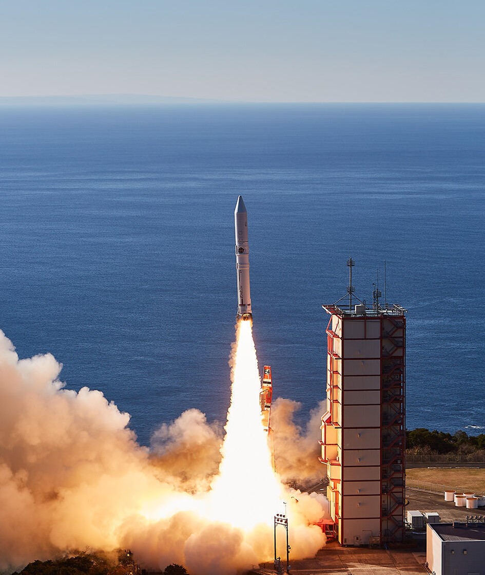
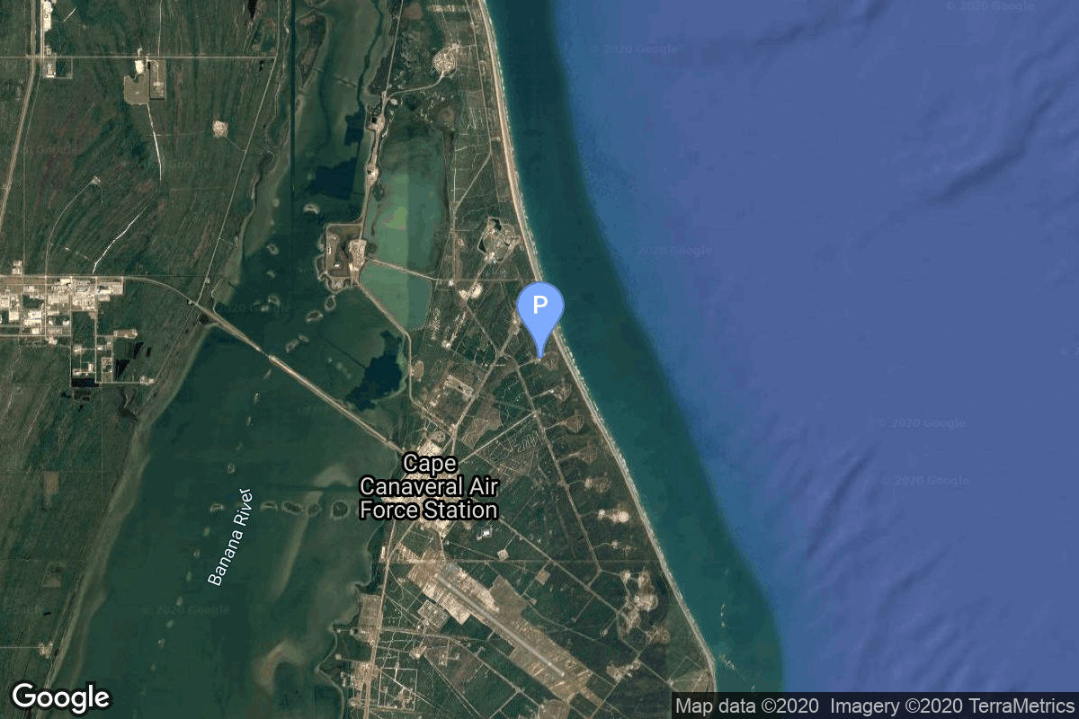
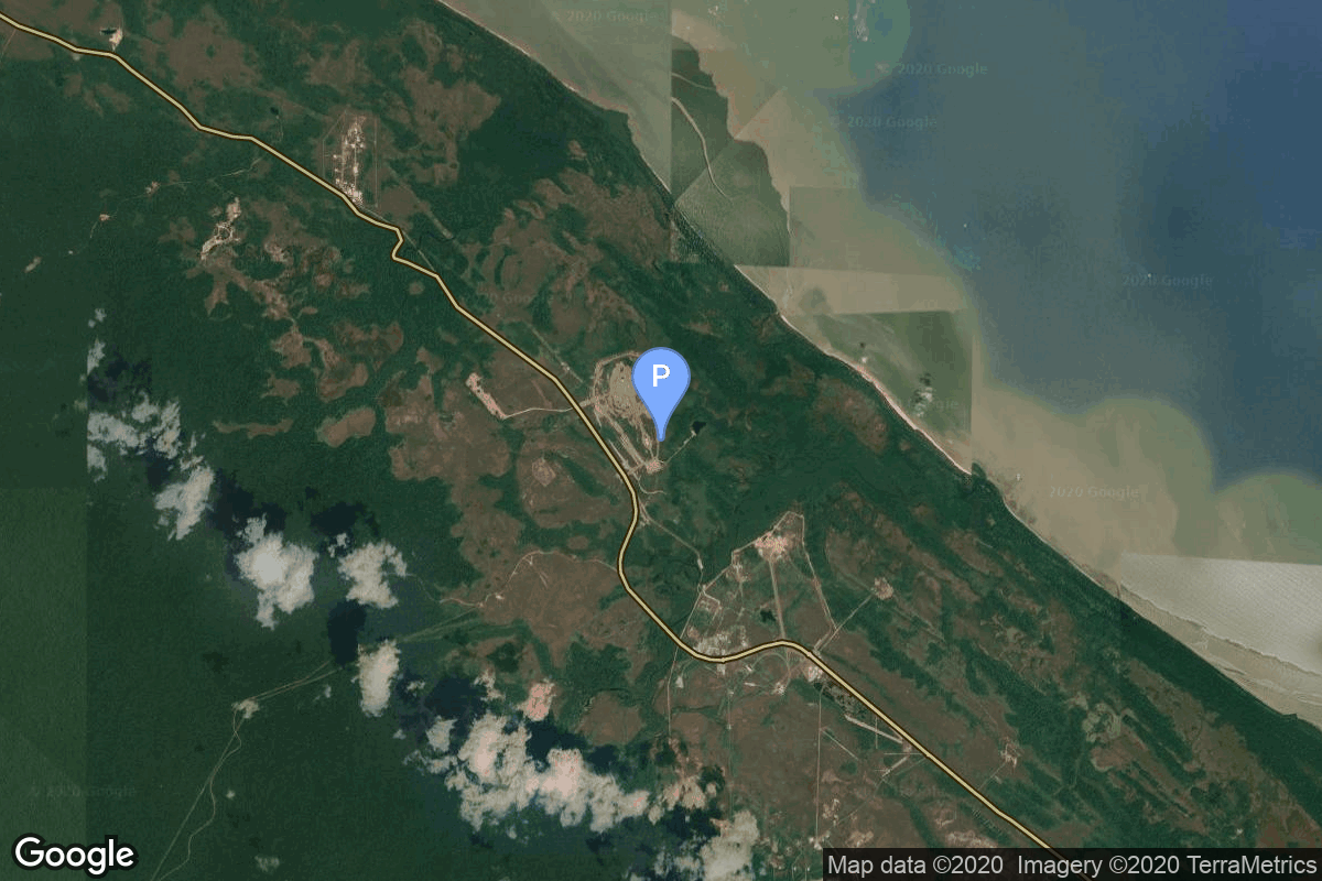
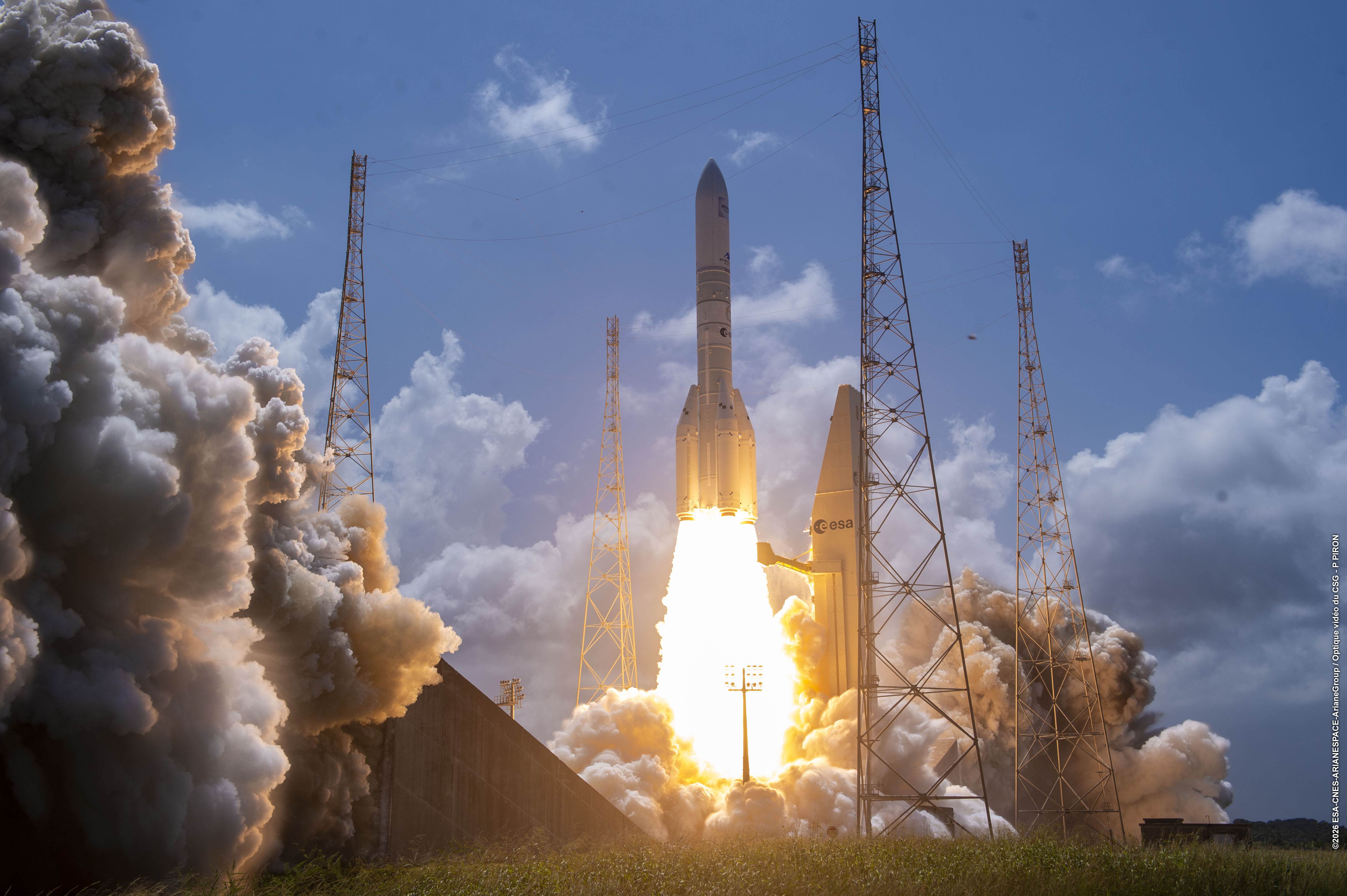
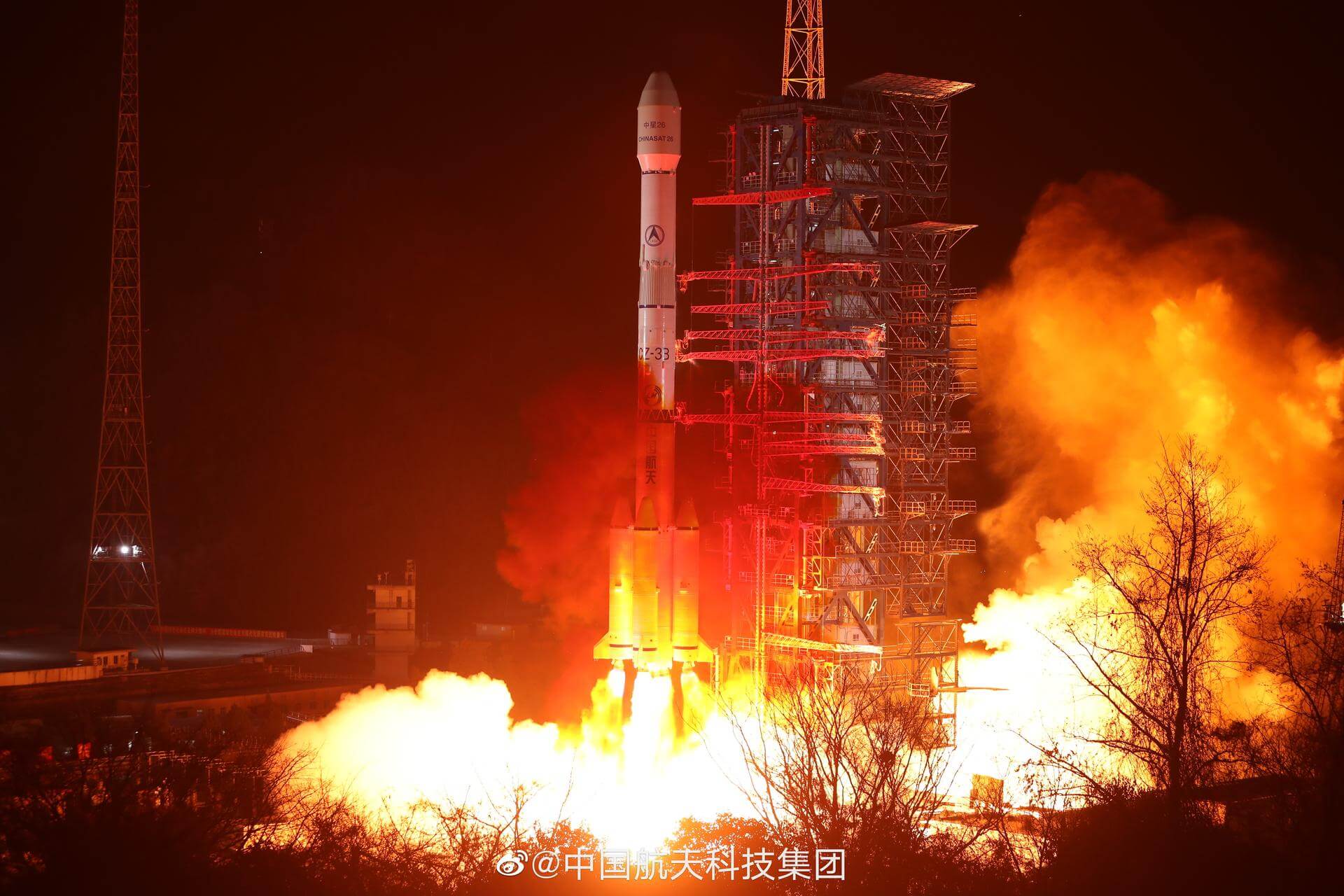
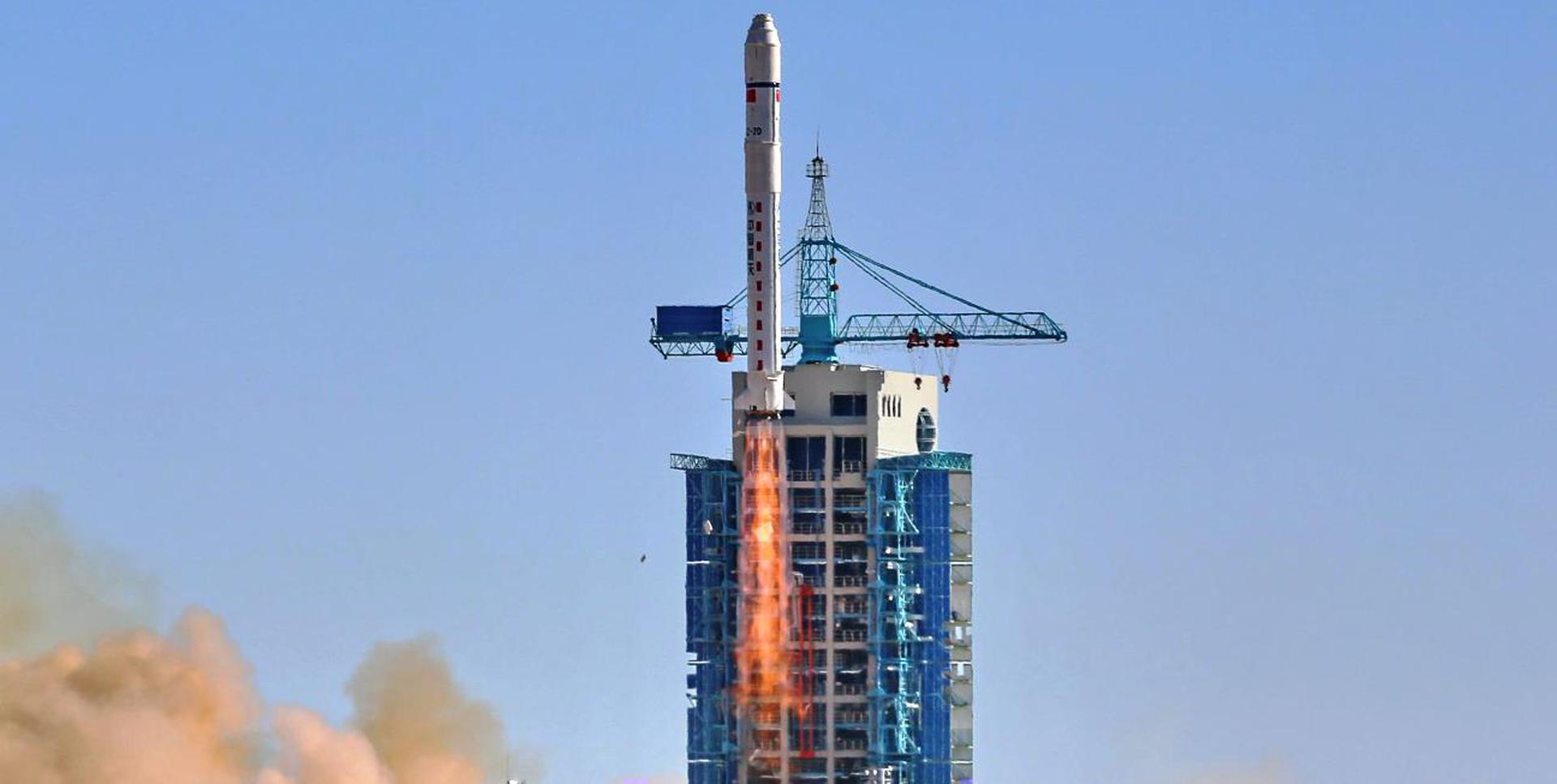
{ "count": 7927, "next": "https://ll.thespacedevs.com/2.2.0/launch/?format=api&limit=10&offset=7440&ordering=-id", "previous": "https://ll.thespacedevs.com/2.2.0/launch/?format=api&limit=10&offset=7420&ordering=-id", "results": [ { "id": "1017c305-e50d-4a0f-8414-f7220d36e332", "url": "https://ll.thespacedevs.com/2.2.0/launch/1017c305-e50d-4a0f-8414-f7220d36e332/?format=api", "slug": "epsilon-raise-3-others", "name": "Epsilon | RAISE-3 & others", "status": { "id": 4, "name": "Launch Failure", "abbrev": "Failure", "description": "Either the launch vehicle did not reach orbit, or the payload(s) failed to separate." }, "last_updated": "2023-08-16T06:36:33Z", "net": "2022-10-12T00:50:43Z", "window_end": "2022-10-12T00:55:11Z", "window_start": "2022-10-12T00:50:43Z", "net_precision": null, "probability": null, "weather_concerns": null, "holdreason": "", "failreason": "Flight Termination System activated at T+06:28 after rocket was observed not in correct attitude for normal 2nd/3rd stage separation.", "hashtag": null, "launch_service_provider": { "id": 37, "url": "https://ll.thespacedevs.com/2.2.0/agencies/37/?format=api", "name": "Japan Aerospace Exploration Agency", "type": "Government" }, "rocket": { "id": 377, "configuration": { "id": 112, "url": "https://ll.thespacedevs.com/2.2.0/config/launcher/112/?format=api", "name": "Epsilon", "family": "Epsilon", "full_name": "Epsilon", "variant": "" } }, "mission": { "id": 6121, "name": "RAISE-3 & others", "description": "RAISE-3 (RApid Innovative payload demonstration Satellite-3) was a satellite for on-orbit demonstrations of 7 demonstration components and equipment selected by public solicitation. The satellite was to be operated in response to requests from the demonstration theme proposers, and will provide experimental data of the demonstration devices and environmental data during the experiments.\r\n\r\nThe launch is also carrying QPS-SAR 3 & 4 radar Earth observation satellites for iQPS, and 5 cubesats for various Japanese institutions & companies.", "launch_designator": null, "type": "Technology", "orbit": { "id": 17, "name": "Sun-Synchronous Orbit", "abbrev": "SSO" }, "agencies": [], "info_urls": [], "vid_urls": [] }, "pad": { "id": 47, "url": "https://ll.thespacedevs.com/2.2.0/pad/47/?format=api", "agency_id": 37, "name": "Mu Center", "description": null, "info_url": null, "wiki_url": "https://en.wikipedia.org/wiki/Uchinoura_Space_Center", "map_url": "https://www.google.com/maps?q=31.2509794,131.0821319", "latitude": "31.2509794", "longitude": "131.0821319", "location": { "id": 24, "url": "https://ll.thespacedevs.com/2.2.0/location/24/?format=api", "name": "Uchinoura Space Center, Japan", "country_code": "JPN", "description": "The Uchinoura Space Center is a space launch facility in the Japanese town of Kimotsuki, Kagoshima Prefecture. All of Japan's scientific satellites were launched from Uchinoura prior to the M-V launch vehicles being decommissioned in 2006. It continues to be used for suborbital launches, stratospheric balloons and has also been used for the Epsilon orbital launch vehicle. Additionally, the center has antennas for communication with interplanetary space probes.", "map_image": "https://thespacedevs-prod.nyc3.digitaloceanspaces.com/media/map_images/location_24_20200803142411.jpg", "timezone_name": "Asia/Tokyo", "total_launch_count": 43, "total_landing_count": 0 }, "country_code": "JPN", "map_image": "https://thespacedevs-prod.nyc3.digitaloceanspaces.com/media/map_images/pad_47_20200803143524.jpg", "total_launch_count": 36, "orbital_launch_attempt_count": 36 }, "webcast_live": false, "image": "https://thespacedevs-prod.nyc3.digitaloceanspaces.com/media/images/epsilon_image_20221009075145.jpg", "infographic": null, "program": [], "orbital_launch_attempt_count": 6317, "location_launch_attempt_count": 43, "pad_launch_attempt_count": 36, "agency_launch_attempt_count": 35, "orbital_launch_attempt_count_year": 135, "location_launch_attempt_count_year": 1, "pad_launch_attempt_count_year": 1, "agency_launch_attempt_count_year": 1, "type": "normal" }, { "id": "100d627c-4835-4fe2-a3b4-8e17c0ff6765", "url": "https://ll.thespacedevs.com/2.2.0/launch/100d627c-4835-4fe2-a3b4-8e17c0ff6765/?format=api", "slug": "delta-0300-noaa-3", "name": "Delta 0300 | NOAA 3", "status": { "id": 3, "name": "Launch Successful", "abbrev": "Success", "description": "The launch vehicle successfully inserted its payload(s) into the target orbit(s)." }, "last_updated": "2023-06-14T03:52:49Z", "net": "1973-11-06T17:02:00Z", "window_end": "1973-11-06T17:02:00Z", "window_start": "1973-11-06T17:02:00Z", "net_precision": null, "probability": null, "weather_concerns": null, "holdreason": "", "failreason": null, "hashtag": null, "launch_service_provider": { "id": 161, "url": "https://ll.thespacedevs.com/2.2.0/agencies/161/?format=api", "name": "United States Air Force", "type": "Government" }, "rocket": { "id": 4416, "configuration": { "id": 275, "url": "https://ll.thespacedevs.com/2.2.0/config/launcher/275/?format=api", "name": "Delta 0300", "family": "Delta", "full_name": "Delta 0300", "variant": "0300" } }, "mission": { "id": 2834, "name": "NOAA 3", "description": "Meteorological satellite using radiometric imaging", "launch_designator": null, "type": "Earth Science", "orbit": { "id": 17, "name": "Sun-Synchronous Orbit", "abbrev": "SSO" }, "agencies": [], "info_urls": [], "vid_urls": [] }, "pad": { "id": 39, "url": "https://ll.thespacedevs.com/2.2.0/pad/39/?format=api", "agency_id": null, "name": "Space Launch Complex 2W", "description": "SLC-2W was originally used for Delta, Thor-Agena and Delta II launches. After the last Delta II flight in 2018, SLC-2W was repurposed to launch Firefly Alpha rockets.", "info_url": null, "wiki_url": "https://en.wikipedia.org/wiki/Vandenberg_Space_Launch_Complex_2", "map_url": "https://www.google.com/maps?q=34.7556,-120.6224", "latitude": "34.7556", "longitude": "-120.6224", "location": { "id": 11, "url": "https://ll.thespacedevs.com/2.2.0/location/11/?format=api", "name": "Vandenberg SFB, CA, USA", "country_code": "USA", "description": "Vandenberg Space Force Base is a United States Space Force Base in Santa Barbara County, California. Established in 1941, Vandenberg Space Force Base is a space launch base, launching spacecraft from the Western Range, and also performs missile testing. The United States Space Force's Space Launch Delta 30 serves as the host delta for the base, equivalent to an Air Force air base wing. In addition to its military space launch mission, Vandenberg Space Force Base also hosts space launches for civil and commercial space entities, such as NASA and SpaceX.", "map_image": "https://thespacedevs-prod.nyc3.digitaloceanspaces.com/media/map_images/location_11_20200803142416.jpg", "timezone_name": "America/Los_Angeles", "total_launch_count": 899, "total_landing_count": 35 }, "country_code": "USA", "map_image": "https://thespacedevs-prod.nyc3.digitaloceanspaces.com/media/map_images/pad_39_20200803143542.jpg", "total_launch_count": 99, "orbital_launch_attempt_count": 99 }, "webcast_live": false, "image": null, "infographic": null, "program": [], "orbital_launch_attempt_count": 1515, "location_launch_attempt_count": 406, "pad_launch_attempt_count": 29, "agency_launch_attempt_count": 609, "orbital_launch_attempt_count_year": 93, "location_launch_attempt_count_year": 10, "pad_launch_attempt_count_year": 2, "agency_launch_attempt_count_year": 18, "type": "normal" }, { "id": "1006ac76-802b-4719-986f-6fb992e1aaa6", "url": "https://ll.thespacedevs.com/2.2.0/launch/1006ac76-802b-4719-986f-6fb992e1aaa6/?format=api", "slug": "titan-iiia-les-1", "name": "Titan IIIA | LES 1", "status": { "id": 3, "name": "Launch Successful", "abbrev": "Success", "description": "The launch vehicle successfully inserted its payload(s) into the target orbit(s)." }, "last_updated": "2023-06-14T17:39:59Z", "net": "1965-02-11T15:19:05Z", "window_end": "1965-02-11T15:19:05Z", "window_start": "1965-02-11T15:19:05Z", "net_precision": null, "probability": null, "weather_concerns": null, "holdreason": "", "failreason": null, "hashtag": null, "launch_service_provider": { "id": 161, "url": "https://ll.thespacedevs.com/2.2.0/agencies/161/?format=api", "name": "United States Air Force", "type": "Government" }, "rocket": { "id": 3360, "configuration": { "id": 437, "url": "https://ll.thespacedevs.com/2.2.0/config/launcher/437/?format=api", "name": "Titan IIIA", "family": "Titan", "full_name": "Titan IIIA", "variant": "IIIA" } }, "mission": { "id": 1781, "name": "LES 1", "description": "Experimental communications satellite featuring a single X-band transponder and an 8-horn electronically switched antenna.", "launch_designator": null, "type": "Communications", "orbit": { "id": 12, "name": "Medium Earth Orbit", "abbrev": "MEO" }, "agencies": [], "info_urls": [], "vid_urls": [] }, "pad": { "id": 120, "url": "https://ll.thespacedevs.com/2.2.0/pad/120/?format=api", "agency_id": 161, "name": "Space Launch Complex 20", "description": null, "info_url": null, "wiki_url": "https://en.wikipedia.org/wiki/Cape_Canaveral_Space_Launch_Complex_20", "map_url": "https://www.google.com/maps?q=28.5122222,-80.5588607", "latitude": "28.5122222", "longitude": "-80.5588607", "location": { "id": 12, "url": "https://ll.thespacedevs.com/2.2.0/location/12/?format=api", "name": "Cape Canaveral SFS, FL, USA", "country_code": "USA", "description": "Cape Canaveral Space Force Station (CCSFS) is an installation of the United States Space Force's Space Launch Delta 45, located on Cape Canaveral in Brevard County, Florida.", "map_image": "https://thespacedevs-prod.nyc3.digitaloceanspaces.com/media/map_images/location_12_20200803142519.jpg", "timezone_name": "America/New_York", "total_launch_count": 1121, "total_landing_count": 75 }, "country_code": "USA", "map_image": "https://thespacedevs-prod.nyc3.digitaloceanspaces.com/media/map_images/pad_120_20200803143230.jpg", "total_launch_count": 4, "orbital_launch_attempt_count": 4 }, "webcast_live": false, "image": null, "infographic": null, "program": [], "orbital_launch_attempt_count": 402, "location_launch_attempt_count": 130, "pad_launch_attempt_count": 3, "agency_launch_attempt_count": 239, "orbital_launch_attempt_count_year": 9, "location_launch_attempt_count_year": 4, "pad_launch_attempt_count_year": 1, "agency_launch_attempt_count_year": 8, "type": "normal" }, { "id": "1000f2c2-d88a-4ebe-8a7b-3c7ef0b64e6c", "url": "https://ll.thespacedevs.com/2.2.0/launch/1000f2c2-d88a-4ebe-8a7b-3c7ef0b64e6c/?format=api", "slug": "soyuz-u-zenit-4mkm-17", "name": "Soyuz U | Zenit-4MKM 17", "status": { "id": 3, "name": "Launch Successful", "abbrev": "Success", "description": "The launch vehicle successfully inserted its payload(s) into the target orbit(s)." }, "last_updated": "2023-06-14T03:41:33Z", "net": "1978-06-10T08:35:00Z", "window_end": "1978-06-10T08:35:00Z", "window_start": "1978-06-10T08:35:00Z", "net_precision": null, "probability": null, "weather_concerns": null, "holdreason": "", "failreason": null, "hashtag": null, "launch_service_provider": { "id": 66, "url": "https://ll.thespacedevs.com/2.2.0/agencies/66/?format=api", "name": "Soviet Space Program", "type": "Government" }, "rocket": { "id": 4970, "configuration": { "id": 37, "url": "https://ll.thespacedevs.com/2.2.0/config/launcher/37/?format=api", "name": "Soyuz U", "family": "Soyuz", "full_name": "Soyuz U", "variant": "" } }, "mission": { "id": 3385, "name": "Zenit-4MKM 17", "description": "High-resolution film-return Zenit reconnaissance satellite", "launch_designator": null, "type": "Government/Top Secret", "orbit": { "id": 8, "name": "Low Earth Orbit", "abbrev": "LEO" }, "agencies": [], "info_urls": [], "vid_urls": [] }, "pad": { "id": 20, "url": "https://ll.thespacedevs.com/2.2.0/pad/20/?format=api", "agency_id": null, "name": "31/6", "description": "", "info_url": null, "wiki_url": "https://en.wikipedia.org/wiki/Baikonur_Cosmodrome_Site_31", "map_url": "https://www.google.com/maps?q=45.996034,63.564003", "latitude": "45.996034", "longitude": "63.564003", "location": { "id": 15, "url": "https://ll.thespacedevs.com/2.2.0/location/15/?format=api", "name": "Baikonur Cosmodrome, Republic of Kazakhstan", "country_code": "KAZ", "description": "The Baikonur Cosmodrome is a spaceport operated by Russia within Kazakhstan. Located in the Kazakh city of Baikonur, it is the largest operational space launch facility in terms of area. All Russian crewed spaceflights are launched from Baikonur.", "map_image": "https://thespacedevs-prod.nyc3.digitaloceanspaces.com/media/map_images/location_15_20200803142517.jpg", "timezone_name": "Asia/Qyzylorda", "total_launch_count": 1564, "total_landing_count": 0 }, "country_code": "KAZ", "map_image": "https://thespacedevs-prod.nyc3.digitaloceanspaces.com/media/map_images/pad_20_20200803143516.jpg", "total_launch_count": 429, "orbital_launch_attempt_count": 429 }, "webcast_live": false, "image": "https://thespacedevs-prod.nyc3.digitaloceanspaces.com/media/images/soyuz2520u_image_20190222031023.jpeg", "infographic": null, "program": [], "orbital_launch_attempt_count": 2104, "location_launch_attempt_count": 520, "pad_launch_attempt_count": 204, "agency_launch_attempt_count": 1222, "orbital_launch_attempt_count_year": 59, "location_launch_attempt_count_year": 13, "pad_launch_attempt_count_year": 7, "agency_launch_attempt_count_year": 40, "type": "normal" }, { "id": "0ffd7efb-7577-4aab-99da-fd1f6f4606c2", "url": "https://ll.thespacedevs.com/2.2.0/launch/0ffd7efb-7577-4aab-99da-fd1f6f4606c2/?format=api", "slug": "ariane-64-envision", "name": "Ariane 64 | EnVision", "status": { "id": 2, "name": "To Be Determined", "abbrev": "TBD", "description": "Current date is a placeholder or rough estimation based on unreliable or interpreted sources." }, "last_updated": "2024-11-27T13:27:13Z", "net": "2031-12-31T00:00:00Z", "window_end": "2031-12-31T00:00:00Z", "window_start": "2031-12-31T00:00:00Z", "net_precision": { "id": 7, "name": "Month", "abbrev": "M", "description": "The T-0 is expected in the given month." }, "probability": null, "weather_concerns": null, "holdreason": "", "failreason": "", "hashtag": null, "launch_service_provider": { "id": 115, "url": "https://ll.thespacedevs.com/2.2.0/agencies/115/?format=api", "name": "Arianespace", "type": "Commercial" }, "rocket": { "id": 8180, "configuration": { "id": 116, "url": "https://ll.thespacedevs.com/2.2.0/config/launcher/116/?format=api", "name": "Ariane 64", "family": "Ariane", "full_name": "Ariane 64", "variant": "64" } }, "mission": { "id": 6747, "name": "EnVision", "description": "European Space Agency mission to study Venus' atmosphere, geological activity, and climate.", "launch_designator": null, "type": "Planetary Science", "orbit": { "id": 20, "name": "Venus Orbit", "abbrev": "Venus" }, "agencies": [ { "id": 27, "url": "https://ll.thespacedevs.com/2.2.0/agencies/27/?format=api", "name": "European Space Agency", "featured": false, "type": "Multinational", "country_code": "FRA,ITA,DEU,ESP,CHE,GBR,AUT,SWE,BEL,PRT,NLD,HUN,POL,DNK,CZE,ROU,NOR,FIN,GRC,EST,IRL,LUX,SVN", "abbrev": "ESA", "description": "The European Space Agency is an intergovernmental organisation of 22 member states. Established in 1975 and headquartered in Paris, France, ESA has a worldwide staff of about 2,000 employees.\r\n\r\nESA's space flight programme includes human spaceflight (mainly through participation in the International Space Station program); the launch and operation of unmanned exploration missions to other planets and the Moon; Earth observation, science and telecommunication; designing launch vehicles; and maintaining a major spaceport, the Guiana Space Centre at Kourou, French Guiana.", "administrator": "Director General: Josef Aschbacher", "founding_year": "1975", "launchers": "Ariane | Vega", "spacecraft": "Space Rider", "launch_library_url": null, "total_launch_count": 7, "consecutive_successful_launches": 5, "successful_launches": 6, "failed_launches": 1, "pending_launches": 1, "consecutive_successful_landings": 0, "successful_landings": 0, "failed_landings": 0, "attempted_landings": 0, "info_url": "https://www.esa.int/", "wiki_url": "https://en.wikipedia.org/wiki/European_Space_Agency", "logo_url": "https://thespacedevs-prod.nyc3.digitaloceanspaces.com/media/images/european2520space2520agency_logo_20221130101442.png", "image_url": "https://thespacedevs-prod.nyc3.digitaloceanspaces.com/media/images/esa_patch_float_image_20250211192109.png", "nation_url": "https://thespacedevs-prod.nyc3.digitaloceanspaces.com/media/images/european2520space2520agency_logo_20221130101442.png" } ], "info_urls": [], "vid_urls": [] }, "pad": { "id": 67, "url": "https://ll.thespacedevs.com/2.2.0/pad/67/?format=api", "agency_id": 115, "name": "Ariane Launch Area 4", "description": "ELA-4, is a launch pad and associated facilities at the Centre Spatial Guyanais in French Guiana. The complex is composed of a launch pad with mobile gantry, an horizontal assembly building and a dedicated launch operations building. ELA-4 is operated by Arianespace as part of the Ariane 6 program.", "info_url": null, "wiki_url": "https://en.wikipedia.org/wiki/Guiana_Space_Centre", "map_url": "https://www.google.com/maps?q=5.256319,-52.786838", "latitude": "5.256319", "longitude": "-52.786838", "location": { "id": 13, "url": "https://ll.thespacedevs.com/2.2.0/location/13/?format=api", "name": "Guiana Space Centre, French Guiana", "country_code": "GUF", "description": "The Guiana Space Centre is a European spaceport to the northwest of Kourou in French Guiana, a region of France in South America. Kourou is located at a latitude of 5°. In operation since 1968, it is a suitable location for a spaceport because of its equatorial location and open sea to the east.", "map_image": "https://thespacedevs-prod.nyc3.digitaloceanspaces.com/media/map_images/location_13_20200803142412.jpg", "timezone_name": "America/Cayenne", "total_launch_count": 334, "total_landing_count": 0 }, "country_code": "GUF", "map_image": "https://thespacedevs-prod.nyc3.digitaloceanspaces.com/media/map_images/pad_67_20200803143559.jpg", "total_launch_count": 8, "orbital_launch_attempt_count": 8 }, "webcast_live": false, "image": "https://thespacedevs-prod.nyc3.digitaloceanspaces.com/media/images/ariane_64_lifto_image_20260213070745.jpg", "infographic": null, "program": [], "orbital_launch_attempt_count": 7689, "location_launch_attempt_count": 383, "pad_launch_attempt_count": 28, "agency_launch_attempt_count": 347, "orbital_launch_attempt_count_year": 5, "location_launch_attempt_count_year": 3, "pad_launch_attempt_count_year": 3, "agency_launch_attempt_count_year": 3, "type": "normal" }, { "id": "0ff43072-5407-425b-8c8d-6bca068143b9", "url": "https://ll.thespacedevs.com/2.2.0/launch/0ff43072-5407-425b-8c8d-6bca068143b9/?format=api", "slug": "long-march-3be-shijian-31", "name": "Long March 3B/E | Shijian 31", "status": { "id": 3, "name": "Launch Successful", "abbrev": "Success", "description": "The launch vehicle successfully inserted its payload(s) into the target orbit(s)." }, "last_updated": "2026-06-25T05:23:42Z", "net": "2026-06-16T09:45:00Z", "window_end": "2026-06-16T10:23:00Z", "window_start": "2026-06-16T09:37:00Z", "net_precision": { "id": 1, "name": "Minute", "abbrev": "MIN", "description": "The T-0 is accurate to the minute." }, "probability": null, "weather_concerns": null, "holdreason": "", "failreason": "", "hashtag": null, "launch_service_provider": { "id": 88, "url": "https://ll.thespacedevs.com/2.2.0/agencies/88/?format=api", "name": "China Aerospace Science and Technology Corporation", "type": "Government" }, "rocket": { "id": 9043, "configuration": { "id": 50, "url": "https://ll.thespacedevs.com/2.2.0/config/launcher/50/?format=api", "name": "Long March 3B/E", "family": "Long March", "full_name": "Long March 3B/E", "variant": "B/E" } }, "mission": { "id": 7638, "name": "Shijian 31", "description": "Classified experimental Chinese satellite of unknown purposes (officially described for \"spatial environment detection\" purposes).", "launch_designator": null, "type": "Government/Top Secret", "orbit": { "id": 0, "name": "Elliptical Orbit", "abbrev": "Elliptical" }, "agencies": [], "info_urls": [], "vid_urls": [] }, "pad": { "id": 45, "url": "https://ll.thespacedevs.com/2.2.0/pad/45/?format=api", "agency_id": null, "name": "Launch Complex 2 (LC-2)", "description": "", "info_url": null, "wiki_url": "https://en.wikipedia.org/wiki/Xichang_Satellite_Launch_Center", "map_url": "https://www.google.com/maps?q=28.245504,102.026768", "latitude": "28.245504", "longitude": "102.026768", "location": { "id": 16, "url": "https://ll.thespacedevs.com/2.2.0/location/16/?format=api", "name": "Xichang Satellite Launch Center, People's Republic of China", "country_code": "CHN", "description": "The Xichang Satellite Launch Center is a spaceport in China. It is located in Zeyuan Town, northwest of Xichang, Liangshan Yi Autonomous Prefecture in Sichuan.", "map_image": "https://thespacedevs-prod.nyc3.digitaloceanspaces.com/media/map_images/location_16_20200803142513.jpg", "timezone_name": "Asia/Shanghai", "total_launch_count": 241, "total_landing_count": 0 }, "country_code": "CHN", "map_image": "https://thespacedevs-prod.nyc3.digitaloceanspaces.com/media/map_images/pad_45_20200803143520.jpg", "total_launch_count": 125, "orbital_launch_attempt_count": 125 }, "webcast_live": false, "image": "https://thespacedevs-prod.nyc3.digitaloceanspaces.com/media/images/long2520march_image_20230907120240.jpeg", "infographic": null, "program": [], "orbital_launch_attempt_count": 7314, "location_launch_attempt_count": 241, "pad_launch_attempt_count": 125, "agency_launch_attempt_count": 598, "orbital_launch_attempt_count_year": 141, "location_launch_attempt_count_year": 5, "pad_launch_attempt_count_year": 2, "agency_launch_attempt_count_year": 28, "type": "normal" }, { "id": "0fe84789-0e8c-4b7f-b712-35928bc0f50f", "url": "https://ll.thespacedevs.com/2.2.0/launch/0fe84789-0e8c-4b7f-b712-35928bc0f50f/?format=api", "slug": "space-shuttle-challenger-ov-099-sts-41-b", "name": "Space Shuttle Challenger / OV-099 | STS-41-B", "status": { "id": 3, "name": "Launch Successful", "abbrev": "Success", "description": "The launch vehicle successfully inserted its payload(s) into the target orbit(s)." }, "last_updated": "2023-06-14T08:46:21Z", "net": "1984-02-03T13:00:00Z", "window_end": "1984-02-03T13:00:00Z", "window_start": "1984-02-03T13:00:00Z", "net_precision": null, "probability": null, "weather_concerns": null, "holdreason": "", "failreason": null, "hashtag": null, "launch_service_provider": { "id": 192, "url": "https://ll.thespacedevs.com/2.2.0/agencies/192/?format=api", "name": "Lockheed Space Operations Company", "type": "Commercial" }, "rocket": { "id": 295, "configuration": { "id": 493, "url": "https://ll.thespacedevs.com/2.2.0/config/launcher/493/?format=api", "name": "Space Shuttle", "family": "", "full_name": "Space Shuttle", "variant": "" } }, "mission": { "id": 527, "name": "STS-41-B", "description": "STS-41-B was the tenth Space Shuttle mission and the fourth of the Space Shuttle Challenger. It deployed 2 communication satellites and inluded the first untethered spacewalk. It was also the first shuttle mission to land at Kennedy Space Center.", "launch_designator": null, "type": "Communications", "orbit": { "id": 8, "name": "Low Earth Orbit", "abbrev": "LEO" }, "agencies": [], "info_urls": [], "vid_urls": [] }, "pad": { "id": 87, "url": "https://ll.thespacedevs.com/2.2.0/pad/87/?format=api", "agency_id": 121, "name": "Launch Complex 39A", "description": "", "info_url": null, "wiki_url": "https://en.wikipedia.org/wiki/Kennedy_Space_Center_Launch_Complex_39#Launch_Pad_39A", "map_url": "https://www.google.com/maps?q=28.60822681,-80.60428186", "latitude": "28.60822681", "longitude": "-80.60428186", "location": { "id": 27, "url": "https://ll.thespacedevs.com/2.2.0/location/27/?format=api", "name": "Kennedy Space Center, FL, USA", "country_code": "USA", "description": "The John F. Kennedy Space Center, located on Merritt Island, Florida, is one of NASA's ten field centers. Since 1968, KSC has been NASA's primary launch center of American spaceflight, research, and technology. Launch operations for the Apollo, Skylab and Space Shuttle programs were carried out from Kennedy Space Center Launch Complex 39 and managed by KSC. Located on the east coast of Florida, KSC is adjacent to Cape Canaveral Space Force Station (CCSFS).", "map_image": "https://thespacedevs-prod.nyc3.digitaloceanspaces.com/media/map_images/location_27_20200803142447.jpg", "timezone_name": "America/New_York", "total_launch_count": 281, "total_landing_count": 0 }, "country_code": "USA", "map_image": "https://thespacedevs-prod.nyc3.digitaloceanspaces.com/media/map_images/pad_87_20200803143537.jpg", "total_launch_count": 222, "orbital_launch_attempt_count": 221 }, "webcast_live": false, "image": "https://thespacedevs-prod.nyc3.digitaloceanspaces.com/media/images/space_shuttle_image_20230422074810.jpeg", "infographic": null, "program": [ { "id": 6, "url": "https://ll.thespacedevs.com/2.2.0/program/6/?format=api", "name": "Space Shuttle", "description": "The Space Shuttle program was the fourth human spaceflight program carried out by the National Aeronautics and Space Administration (NASA), which accomplished routine transportation for Earth-to-orbit crew and cargo from 1981 to 2011.", "agencies": [ { "id": 44, "url": "https://ll.thespacedevs.com/2.2.0/agencies/44/?format=api", "name": "National Aeronautics and Space Administration", "type": "Government" } ], "image_url": "https://thespacedevs-prod.nyc3.digitaloceanspaces.com/media/images/space2520shutt_program_20200820202237.png", "start_date": "1981-04-12T12:00:03Z", "end_date": "2011-07-08T15:29:00Z", "info_url": "https://www.nasa.gov/mission_pages/shuttle/main/index.html", "wiki_url": "https://en.wikipedia.org/wiki/Space_Shuttle_program", "mission_patches": [], "type": { "id": 2, "name": "Human Spaceflight" } } ], "orbital_launch_attempt_count": 2786, "location_launch_attempt_count": 27, "pad_launch_attempt_count": 22, "agency_launch_attempt_count": 1, "orbital_launch_attempt_count_year": 11, "location_launch_attempt_count_year": 1, "pad_launch_attempt_count_year": 1, "agency_launch_attempt_count_year": 1, "type": "normal" }, { "id": "0fe8060b-c430-4a6a-a3bf-99356359bda5", "url": "https://ll.thespacedevs.com/2.2.0/launch/0fe8060b-c430-4a6a-a3bf-99356359bda5/?format=api", "slug": "kosmos-3m-zaliv-10", "name": "Kosmos-3M | Zaliv 10", "status": { "id": 3, "name": "Launch Successful", "abbrev": "Success", "description": "The launch vehicle successfully inserted its payload(s) into the target orbit(s)." }, "last_updated": "2023-06-14T04:27:26Z", "net": "1972-02-25T07:52:29Z", "window_end": "1972-02-25T07:52:29Z", "window_start": "1972-02-25T07:52:29Z", "net_precision": null, "probability": null, "weather_concerns": null, "holdreason": "", "failreason": null, "hashtag": null, "launch_service_provider": { "id": 66, "url": "https://ll.thespacedevs.com/2.2.0/agencies/66/?format=api", "name": "Soviet Space Program", "type": "Government" }, "rocket": { "id": 4229, "configuration": { "id": 102, "url": "https://ll.thespacedevs.com/2.2.0/config/launcher/102/?format=api", "name": "Kosmos-3M", "family": "Kosmos", "full_name": "Kosmos-3M (11K65M)", "variant": "-3M" } }, "mission": { "id": 2647, "name": "Zaliv 10", "description": "The first soviet navigation system called Tsiklon consisted of Zaliv satellites in low earth orbit.", "launch_designator": null, "type": "Navigation", "orbit": { "id": 8, "name": "Low Earth Orbit", "abbrev": "LEO" }, "agencies": [], "info_urls": [], "vid_urls": [] }, "pad": { "id": 167, "url": "https://ll.thespacedevs.com/2.2.0/pad/167/?format=api", "agency_id": null, "name": "132/2", "description": null, "info_url": null, "wiki_url": "https://en.wikipedia.org/wiki/Plesetsk_Cosmodrome", "map_url": "https://www.google.com/maps?q=62.883,40.869806", "latitude": "62.883", "longitude": "40.869806", "location": { "id": 6, "url": "https://ll.thespacedevs.com/2.2.0/location/6/?format=api", "name": "Plesetsk Cosmodrome, Russian Federation", "country_code": "RUS", "description": "Plesetsk Cosmodrome is a Russian spaceport located in Mirny, Arkhangelsk Oblast, about 800 km north of Moscow and approximately 200 km south of Arkhangelsk. Originally developed as an ICBM site for the R-7 missile, it also served for numerous satellite launches using the R-7 and other rockets. Its high latitude makes it useful only for certain types of launches, especially the Molniya orbits, so for much of the site's history it functioned as a secondary location, with most orbital launches taking place from Baikonur, in the Kazakh SSR. With the end of the Soviet Union, Baikonur became a foreign territory, and Kazakhstan charged $115 million usage fees annually. Consequently, Plesetsk has seen considerably more activity since the 2000s.", "map_image": "https://thespacedevs-prod.nyc3.digitaloceanspaces.com/media/map_images/location_6_20200803142434.jpg", "timezone_name": "Europe/Moscow", "total_launch_count": 1685, "total_landing_count": 0 }, "country_code": "RUS", "map_image": "https://thespacedevs-prod.nyc3.digitaloceanspaces.com/media/map_images/pad_167_20200803143417.jpg", "total_launch_count": 172, "orbital_launch_attempt_count": 172 }, "webcast_live": false, "image": "https://thespacedevs-prod.nyc3.digitaloceanspaces.com/media/images/kosmos-3m_durin_image_20251101171325.jpg", "infographic": null, "program": [], "orbital_launch_attempt_count": 1317, "location_launch_attempt_count": 221, "pad_launch_attempt_count": 33, "agency_launch_attempt_count": 639, "orbital_launch_attempt_count_year": 11, "location_launch_attempt_count_year": 2, "pad_launch_attempt_count_year": 1, "agency_launch_attempt_count_year": 7, "type": "normal" }, { "id": "0fe65b1a-73da-465a-b66b-a009e72ec338", "url": "https://ll.thespacedevs.com/2.2.0/launch/0fe65b1a-73da-465a-b66b-a009e72ec338/?format=api", "slug": "long-march-2d-gaofen-9", "name": "Long March 2D | Gaofen 9", "status": { "id": 3, "name": "Launch Successful", "abbrev": "Success", "description": "The launch vehicle successfully inserted its payload(s) into the target orbit(s)." }, "last_updated": "2024-08-02T17:15:45Z", "net": "2015-09-14T04:42:00Z", "window_end": "2015-09-14T04:57:00Z", "window_start": "2015-09-14T04:35:00Z", "net_precision": null, "probability": null, "weather_concerns": null, "holdreason": "", "failreason": "", "hashtag": null, "launch_service_provider": { "id": 88, "url": "https://ll.thespacedevs.com/2.2.0/agencies/88/?format=api", "name": "China Aerospace Science and Technology Corporation", "type": "Government" }, "rocket": { "id": 1865, "configuration": { "id": 17, "url": "https://ll.thespacedevs.com/2.2.0/config/launcher/17/?format=api", "name": "Long March 2D", "family": "Long March", "full_name": "Long March 2D", "variant": "D" } }, "mission": null, "pad": { "id": 22, "url": "https://ll.thespacedevs.com/2.2.0/pad/22/?format=api", "agency_id": null, "name": "Launch Area 94 (SLS-2 / 603)", "description": "", "info_url": null, "wiki_url": "https://en.wikipedia.org/wiki/Jiuquan_Launch_Area_4", "map_url": "https://www.google.com/maps?q=40.960482,100.298059", "latitude": "40.960482", "longitude": "100.298059", "location": { "id": 17, "url": "https://ll.thespacedevs.com/2.2.0/location/17/?format=api", "name": "Jiuquan Satellite Launch Center, People's Republic of China", "country_code": "CHN", "description": "Jiuquan Satellite Launch Center is a Chinese spaceport located between the Ejin, Alxa, Inner Mongolia and Hangtian Town, Jinta County, Jiuquan, Gansu Province. It is part of the Dongfeng Aerospace City (Base 10).", "map_image": "https://thespacedevs-prod.nyc3.digitaloceanspaces.com/media/map_images/location_17_20200803142429.jpg", "timezone_name": "Asia/Shanghai", "total_launch_count": 291, "total_landing_count": 2 }, "country_code": "CHN", "map_image": "https://thespacedevs-prod.nyc3.digitaloceanspaces.com/media/map_images/pad_22_20200803143437.jpg", "total_launch_count": 137, "orbital_launch_attempt_count": 137 }, "webcast_live": false, "image": "https://thespacedevs-prod.nyc3.digitaloceanspaces.com/media/images/long2520march25202d_image_20190222031211.jpeg", "infographic": null, "program": [], "orbital_launch_attempt_count": 5492, "location_launch_attempt_count": 78, "pad_launch_attempt_count": 37, "agency_launch_attempt_count": 155, "orbital_launch_attempt_count_year": 50, "location_launch_attempt_count_year": 1, "pad_launch_attempt_count_year": 1, "agency_launch_attempt_count_year": 6, "type": "normal" }, { "id": "0fe6376c-e372-4495-aa73-8e9685bd8462", "url": "https://ll.thespacedevs.com/2.2.0/launch/0fe6376c-e372-4495-aa73-8e9685bd8462/?format=api", "slug": "molniya-m-molniya-1k-37", "name": "Molniya-M | Molniya-1K 37", "status": { "id": 3, "name": "Launch Successful", "abbrev": "Success", "description": "The launch vehicle successfully inserted its payload(s) into the target orbit(s)." }, "last_updated": "2023-06-14T03:48:48Z", "net": "1977-06-24T05:41:00Z", "window_end": "1977-06-24T05:41:00Z", "window_start": "1977-06-24T05:41:00Z", "net_precision": null, "probability": null, "weather_concerns": null, "holdreason": "", "failreason": null, "hashtag": null, "launch_service_provider": { "id": 66, "url": "https://ll.thespacedevs.com/2.2.0/agencies/66/?format=api", "name": "Soviet Space Program", "type": "Government" }, "rocket": { "id": 4844, "configuration": { "id": 106, "url": "https://ll.thespacedevs.com/2.2.0/config/launcher/106/?format=api", "name": "Molniya-M", "family": "R-7", "full_name": "Molniya-M 2BL", "variant": "2BL" } }, "mission": { "id": 3261, "name": "Molniya-1K 37", "description": "Military communications satellite in a highly elliptic orbit", "launch_designator": null, "type": "Government/Top Secret", "orbit": { "id": 0, "name": "Elliptical Orbit", "abbrev": "Elliptical" }, "agencies": [], "info_urls": [], "vid_urls": [] }, "pad": { "id": 32, "url": "https://ll.thespacedevs.com/2.2.0/pad/32/?format=api", "agency_id": null, "name": "1/5", "description": null, "info_url": null, "wiki_url": "", "map_url": "https://www.google.com/maps?q=45.92,63.342", "latitude": "45.92", "longitude": "63.342", "location": { "id": 15, "url": "https://ll.thespacedevs.com/2.2.0/location/15/?format=api", "name": "Baikonur Cosmodrome, Republic of Kazakhstan", "country_code": "KAZ", "description": "The Baikonur Cosmodrome is a spaceport operated by Russia within Kazakhstan. Located in the Kazakh city of Baikonur, it is the largest operational space launch facility in terms of area. All Russian crewed spaceflights are launched from Baikonur.", "map_image": "https://thespacedevs-prod.nyc3.digitaloceanspaces.com/media/map_images/location_15_20200803142517.jpg", "timezone_name": "Asia/Qyzylorda", "total_launch_count": 1564, "total_landing_count": 0 }, "country_code": "KAZ", "map_image": "https://thespacedevs-prod.nyc3.digitaloceanspaces.com/media/map_images/pad_32_20200803143513.jpg", "total_launch_count": 487, "orbital_launch_attempt_count": 487 }, "webcast_live": false, "image": "https://thespacedevs-prod.nyc3.digitaloceanspaces.com/media/images/molniya_m_image_20251102061752.jpg", "infographic": null, "program": [], "orbital_launch_attempt_count": 1970, "location_launch_attempt_count": 488, "pad_launch_attempt_count": 160, "agency_launch_attempt_count": 1122, "orbital_launch_attempt_count_year": 55, "location_launch_attempt_count_year": 11, "pad_launch_attempt_count_year": 2, "agency_launch_attempt_count_year": 42, "type": "normal" } ] }