Launch List
AN API endpoint that returns all Launch objects or a single launch.
EXAMPLE - /launch/[id]/ or /launch/?mode=list&search=SpaceX
GET Return a list of all Launch objects.
FILTERS Fields - 'name', 'id(s)', 'lsp__id', 'lsp__name', 'serial_number', 'launcher_config__id', 'rocket__spacecraftflight__spacecraft__name', 'is_crewed', 'include_suborbital', 'spacecraft_config__ids', 'related', 'location__ids', 'lsp__ids', 'pad__ids', 'status__ids'
MODE 'normal', 'list', 'detailed'
EXAMPLE ?mode=list
SEARCH Searches through the launch name, rocket name, launch agency, mission name & spacecraft name.
EXAMPLE - ?search=SpaceX
GET /2.2.0/launch/?format=api&offset=7420&ordering=-net
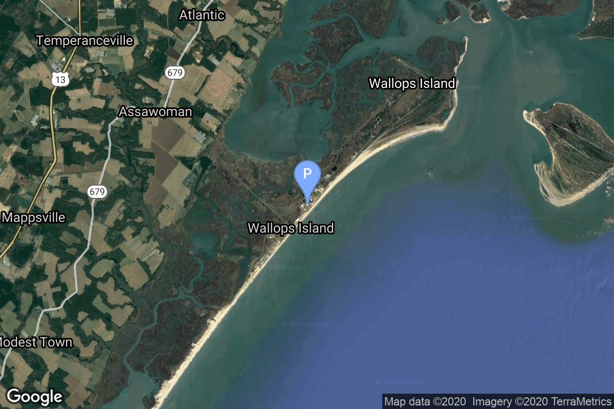
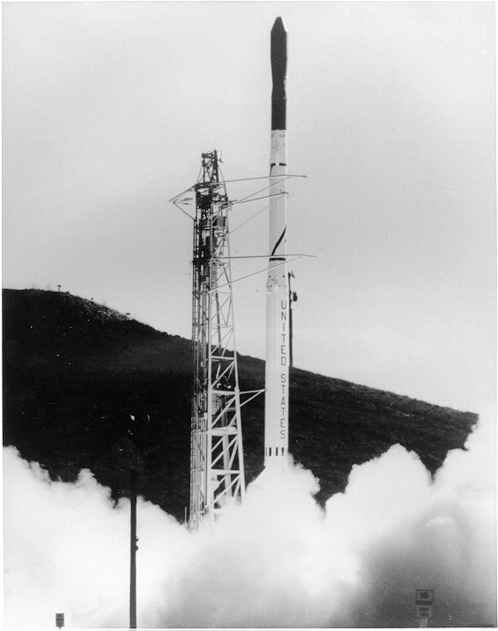
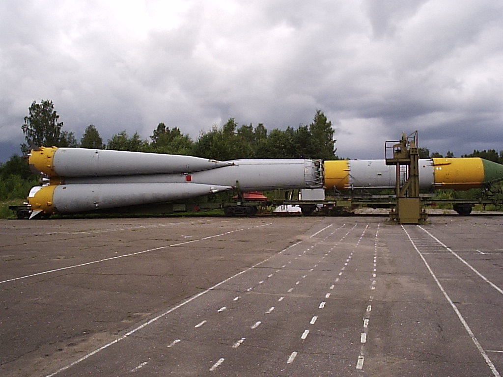
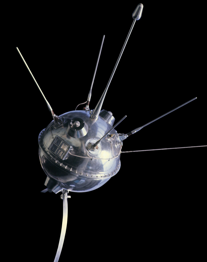
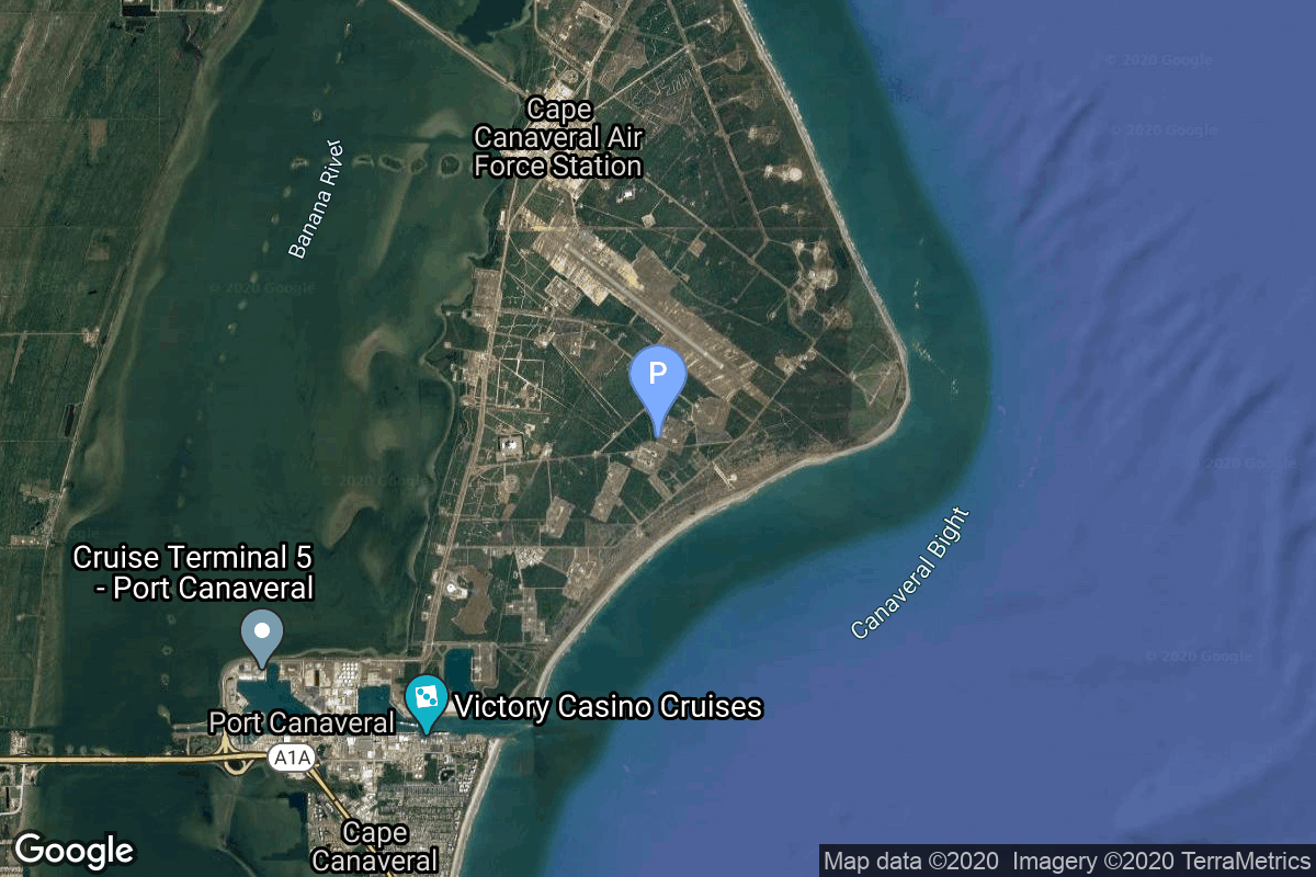
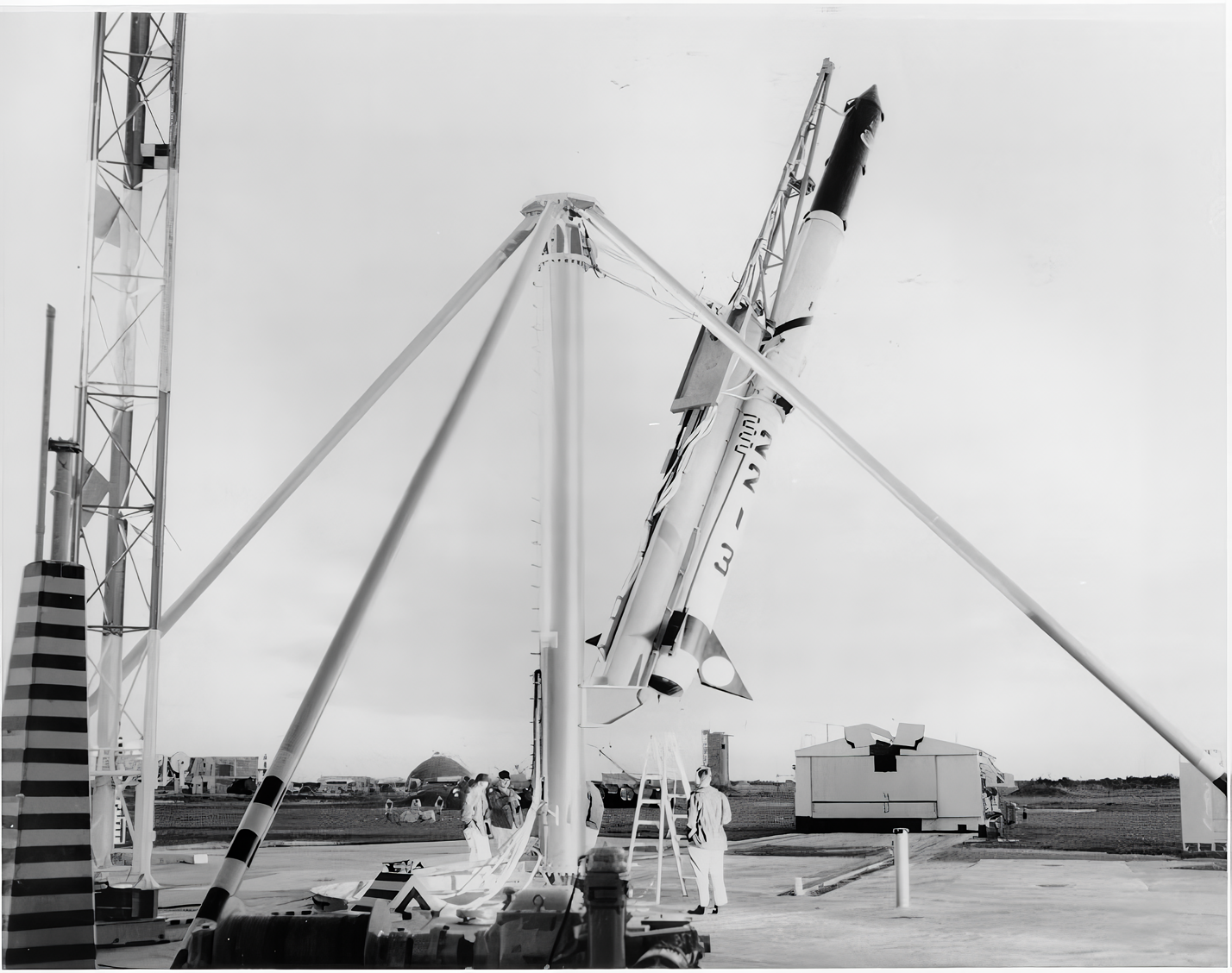
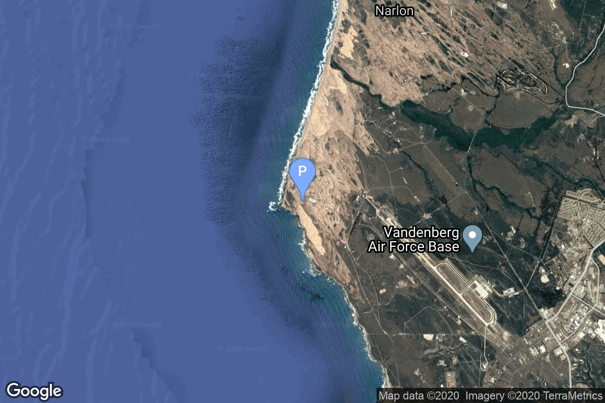
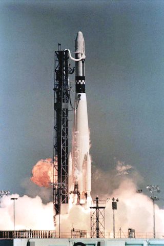
{ "count": 7895, "next": "https://ll.thespacedevs.com/2.2.0/launch/?format=api&limit=10&offset=7430&ordering=-net", "previous": "https://ll.thespacedevs.com/2.2.0/launch/?format=api&limit=10&offset=7410&ordering=-net", "results": [ { "id": "40595a20-0c5b-4bc0-9f1a-e36b317e6baf", "url": "https://ll.thespacedevs.com/2.2.0/launch/40595a20-0c5b-4bc0-9f1a-e36b317e6baf/?format=api", "slug": "scout-x-4-beacon-explorer-c", "name": "Scout X-4 | Beacon Explorer C", "status": { "id": 3, "name": "Launch Successful", "abbrev": "Success", "description": "The launch vehicle successfully inserted its payload(s) into the target orbit(s)." }, "last_updated": "2023-06-14T04:29:56Z", "net": "1965-04-29T14:17:00Z", "window_end": "1965-04-29T14:17:00Z", "window_start": "1965-04-29T14:17:00Z", "net_precision": null, "probability": null, "weather_concerns": null, "holdreason": "", "failreason": null, "hashtag": null, "launch_service_provider": { "id": 44, "url": "https://ll.thespacedevs.com/2.2.0/agencies/44/?format=api", "name": "National Aeronautics and Space Administration", "type": "Government" }, "rocket": { "id": 3388, "configuration": { "id": 370, "url": "https://ll.thespacedevs.com/2.2.0/config/launcher/370/?format=api", "name": "Scout X-4", "family": "Scout", "full_name": "Scout X-4", "variant": "4" } }, "mission": { "id": 1809, "name": "Beacon Explorer C", "description": "The BE (Beacon Explorer) satellites provided Laser reflectors for geodetic measurements as well measured the electron density in the ionosphere.", "launch_designator": null, "type": "Earth Science", "orbit": { "id": 8, "name": "Low Earth Orbit", "abbrev": "LEO" }, "agencies": [], "info_urls": [], "vid_urls": [] }, "pad": { "id": 178, "url": "https://ll.thespacedevs.com/2.2.0/pad/178/?format=api", "agency_id": null, "name": "Launch Area 3A", "description": null, "info_url": null, "wiki_url": null, "map_url": "https://www.google.com/maps?q=37.8495,-75.4725", "latitude": "37.8495", "longitude": "-75.4725", "location": { "id": 21, "url": "https://ll.thespacedevs.com/2.2.0/location/21/?format=api", "name": "Wallops Flight Facility, Virginia, USA", "country_code": "USA", "description": "Wallops Flight Facility is a rocket launch site on Wallops Island on the Eastern Shore of Virginia, United States, just east of the Delmarva Peninsula and north-northeast of Norfolk. The facility is operated by the Goddard Space Flight Center in Greenbelt, Maryland, and primarily serves to support science and exploration missions for NASA and other federal agencies. WFF includes an extensively instrumented range to support launches of more than a dozen types of sounding rockets; small expendable suborbital and orbital rockets; high-altitude balloon flights carrying scientific instruments for atmospheric and astronomical research; and, using its Research Airport, flight tests of aeronautical research aircraft, including uncrewed aerial vehicles.", "map_image": "https://thespacedevs-prod.nyc3.digitaloceanspaces.com/media/map_images/location_21_20200803142423.jpg", "timezone_name": "America/New_York", "total_launch_count": 86, "total_landing_count": 0 }, "country_code": "USA", "map_image": "https://thespacedevs-prod.nyc3.digitaloceanspaces.com/media/map_images/pad_178_20200803143407.jpg", "total_launch_count": 18, "orbital_launch_attempt_count": 13 }, "webcast_live": false, "image": "https://thespacedevs-prod.nyc3.digitaloceanspaces.com/media/images/scout_x-4_s122__image_20240311075016.jpeg", "infographic": null, "program": [], "orbital_launch_attempt_count": 430, "location_launch_attempt_count": 27, "pad_launch_attempt_count": 2, "agency_launch_attempt_count": 64, "orbital_launch_attempt_count_year": 37, "location_launch_attempt_count_year": 1, "pad_launch_attempt_count_year": 1, "agency_launch_attempt_count_year": 3, "type": "normal" }, { "id": "ef1ff630-54f9-4587-99e8-edb9a16be995", "url": "https://ll.thespacedevs.com/2.2.0/launch/ef1ff630-54f9-4587-99e8-edb9a16be995/?format=api", "slug": "atlas-slv-3-agena-d-kh-7-17", "name": "Atlas SLV-3 Agena D | KH-7 17", "status": { "id": 3, "name": "Launch Successful", "abbrev": "Success", "description": "The launch vehicle successfully inserted its payload(s) into the target orbit(s)." }, "last_updated": "2023-06-14T03:37:57Z", "net": "1965-04-28T21:15:00Z", "window_end": "1965-04-28T21:15:00Z", "window_start": "1965-04-28T21:15:00Z", "net_precision": null, "probability": null, "weather_concerns": null, "holdreason": "", "failreason": null, "hashtag": null, "launch_service_provider": { "id": 161, "url": "https://ll.thespacedevs.com/2.2.0/agencies/161/?format=api", "name": "United States Air Force", "type": "Government" }, "rocket": { "id": 3387, "configuration": { "id": 258, "url": "https://ll.thespacedevs.com/2.2.0/config/launcher/258/?format=api", "name": "Atlas SLV-3 Agena D", "family": "Atlas", "full_name": "Atlas SLV-3 Agena D", "variant": "SLV-3 Agena D" } }, "mission": { "id": 1808, "name": "KH-7 17", "description": "The Program 206 satellite, carrying the KH-7 (Keyhole 7) camera system (codenamed Gambit-1), was the first successful high resolution space reconnaissance program. It was managed by NRO's Program A, the USAF-led segment of the National Reconnaissance Program managed from Los Angeles AFB in El Segundo, California.", "launch_designator": null, "type": "Government/Top Secret", "orbit": { "id": 17, "name": "Sun-Synchronous Orbit", "abbrev": "SSO" }, "agencies": [], "info_urls": [], "vid_urls": [] }, "pad": { "id": 16, "url": "https://ll.thespacedevs.com/2.2.0/pad/16/?format=api", "agency_id": null, "name": "Space Launch Complex 4E", "description": "Space Launch Complex 4 East (SLC-4E) is a launch site at Vandenberg Space Force Base, California, U.S.\r\n\r\nThe pad was previously used by Atlas and Titan rockets between 1963 and 2005. The pad was built for use by Atlas-Agena rockets, but was later rebuilt to handle Titan rockets.", "info_url": null, "wiki_url": "https://en.wikipedia.org/wiki/Vandenberg_Space_Launch_Complex_4#SLC-4E", "map_url": "https://www.google.com/maps?q=34.632,-120.611", "latitude": "34.632", "longitude": "-120.611", "location": { "id": 11, "url": "https://ll.thespacedevs.com/2.2.0/location/11/?format=api", "name": "Vandenberg SFB, CA, USA", "country_code": "USA", "description": "Vandenberg Space Force Base is a United States Space Force Base in Santa Barbara County, California. Established in 1941, Vandenberg Space Force Base is a space launch base, launching spacecraft from the Western Range, and also performs missile testing. The United States Space Force's Space Launch Delta 30 serves as the host delta for the base, equivalent to an Air Force air base wing. In addition to its military space launch mission, Vandenberg Space Force Base also hosts space launches for civil and commercial space entities, such as NASA and SpaceX.", "map_image": "https://thespacedevs-prod.nyc3.digitaloceanspaces.com/media/map_images/location_11_20200803142416.jpg", "timezone_name": "America/Los_Angeles", "total_launch_count": 888, "total_landing_count": 34 }, "country_code": "USA", "map_image": "https://thespacedevs-prod.nyc3.digitaloceanspaces.com/media/map_images/pad_16_20200803143532.jpg", "total_launch_count": 272, "orbital_launch_attempt_count": 272 }, "webcast_live": false, "image": "https://thespacedevs-prod.nyc3.digitaloceanspaces.com/media/images/atlas-slv3_agen_image_20251102060811.jpg", "infographic": null, "program": [], "orbital_launch_attempt_count": 429, "location_launch_attempt_count": 171, "pad_launch_attempt_count": 6, "agency_launch_attempt_count": 253, "orbital_launch_attempt_count_year": 36, "location_launch_attempt_count_year": 12, "pad_launch_attempt_count_year": 2, "agency_launch_attempt_count_year": 22, "type": "normal" }, { "id": "1cee50a6-7022-44f8-a0a1-041b09b36652", "url": "https://ll.thespacedevs.com/2.2.0/launch/1cee50a6-7022-44f8-a0a1-041b09b36652/?format=api", "slug": "molniya-8k78-molniya-1-1", "name": "Molniya 8K78 | Molniya-1 1", "status": { "id": 3, "name": "Launch Successful", "abbrev": "Success", "description": "The launch vehicle successfully inserted its payload(s) into the target orbit(s)." }, "last_updated": "2023-06-14T03:48:16Z", "net": "1965-04-23T01:55:00Z", "window_end": "1965-04-23T01:55:00Z", "window_start": "1965-04-23T01:55:00Z", "net_precision": null, "probability": null, "weather_concerns": null, "holdreason": "", "failreason": null, "hashtag": null, "launch_service_provider": { "id": 66, "url": "https://ll.thespacedevs.com/2.2.0/agencies/66/?format=api", "name": "Soviet Space Program", "type": "Government" }, "rocket": { "id": 3386, "configuration": { "id": 184, "url": "https://ll.thespacedevs.com/2.2.0/config/launcher/184/?format=api", "name": "Molniya 8K78", "family": "R-7", "full_name": "Molniya 8K78", "variant": "8K78" } }, "mission": { "id": 1807, "name": "Molniya-1 1", "description": "The Molniya were Soviet communication satellites operating from an inclined highly elliptical earth orbit of 500 km × 40000 km with 12 hour period for coverage of high northern latitudes.", "launch_designator": null, "type": "Communications", "orbit": { "id": 0, "name": "Elliptical Orbit", "abbrev": "Elliptical" }, "agencies": [], "info_urls": [], "vid_urls": [] }, "pad": { "id": 32, "url": "https://ll.thespacedevs.com/2.2.0/pad/32/?format=api", "agency_id": null, "name": "1/5", "description": null, "info_url": null, "wiki_url": "", "map_url": "https://www.google.com/maps?q=45.92,63.342", "latitude": "45.92", "longitude": "63.342", "location": { "id": 15, "url": "https://ll.thespacedevs.com/2.2.0/location/15/?format=api", "name": "Baikonur Cosmodrome, Republic of Kazakhstan", "country_code": "KAZ", "description": "The Baikonur Cosmodrome is a spaceport operated by Russia within Kazakhstan. Located in the Kazakh city of Baikonur, it is the largest operational space launch facility in terms of area. All Russian crewed spaceflights are launched from Baikonur.", "map_image": "https://thespacedevs-prod.nyc3.digitaloceanspaces.com/media/map_images/location_15_20200803142517.jpg", "timezone_name": "Asia/Qyzylorda", "total_launch_count": 1563, "total_landing_count": 0 }, "country_code": "KAZ", "map_image": "https://thespacedevs-prod.nyc3.digitaloceanspaces.com/media/map_images/pad_32_20200803143513.jpg", "total_launch_count": 487, "orbital_launch_attempt_count": 487 }, "webcast_live": false, "image": "https://thespacedevs-prod.nyc3.digitaloceanspaces.com/media/images/molniya25208k78_image_20191201210000.jpg", "infographic": null, "program": [], "orbital_launch_attempt_count": 428, "location_launch_attempt_count": 96, "pad_launch_attempt_count": 74, "agency_launch_attempt_count": 123, "orbital_launch_attempt_count_year": 35, "location_launch_attempt_count_year": 12, "pad_launch_attempt_count_year": 4, "agency_launch_attempt_count_year": 15, "type": "normal" }, { "id": "614c096a-4dbd-4f15-aced-f9b6390ee8fa", "url": "https://ll.thespacedevs.com/2.2.0/launch/614c096a-4dbd-4f15-aced-f9b6390ee8fa/?format=api", "slug": "voskhod-zenit-4-6", "name": "Voskhod | Zenit-4 6", "status": { "id": 3, "name": "Launch Successful", "abbrev": "Success", "description": "The launch vehicle successfully inserted its payload(s) into the target orbit(s)." }, "last_updated": "2023-06-14T03:41:28Z", "net": "1965-04-17T09:50:00Z", "window_end": "1965-04-17T09:50:00Z", "window_start": "1965-04-17T09:50:00Z", "net_precision": null, "probability": null, "weather_concerns": null, "holdreason": "", "failreason": null, "hashtag": null, "launch_service_provider": { "id": 66, "url": "https://ll.thespacedevs.com/2.2.0/agencies/66/?format=api", "name": "Soviet Space Program", "type": "Government" }, "rocket": { "id": 3385, "configuration": { "id": 104, "url": "https://ll.thespacedevs.com/2.2.0/config/launcher/104/?format=api", "name": "Voskhod", "family": "R-7", "full_name": "Voskhod", "variant": "Voskhod" } }, "mission": { "id": 1806, "name": "Zenit-4 6", "description": "Zenit-4 film-return reconnaissance satellite.", "launch_designator": null, "type": "Government/Top Secret", "orbit": { "id": 8, "name": "Low Earth Orbit", "abbrev": "LEO" }, "agencies": [], "info_urls": [], "vid_urls": [] }, "pad": { "id": 20, "url": "https://ll.thespacedevs.com/2.2.0/pad/20/?format=api", "agency_id": null, "name": "31/6", "description": "", "info_url": null, "wiki_url": "https://en.wikipedia.org/wiki/Baikonur_Cosmodrome_Site_31", "map_url": "https://www.google.com/maps?q=45.996034,63.564003", "latitude": "45.996034", "longitude": "63.564003", "location": { "id": 15, "url": "https://ll.thespacedevs.com/2.2.0/location/15/?format=api", "name": "Baikonur Cosmodrome, Republic of Kazakhstan", "country_code": "KAZ", "description": "The Baikonur Cosmodrome is a spaceport operated by Russia within Kazakhstan. Located in the Kazakh city of Baikonur, it is the largest operational space launch facility in terms of area. All Russian crewed spaceflights are launched from Baikonur.", "map_image": "https://thespacedevs-prod.nyc3.digitaloceanspaces.com/media/map_images/location_15_20200803142517.jpg", "timezone_name": "Asia/Qyzylorda", "total_launch_count": 1563, "total_landing_count": 0 }, "country_code": "KAZ", "map_image": "https://thespacedevs-prod.nyc3.digitaloceanspaces.com/media/map_images/pad_20_20200803143516.jpg", "total_launch_count": 428, "orbital_launch_attempt_count": 428 }, "webcast_live": false, "image": "https://thespacedevs-prod.nyc3.digitaloceanspaces.com/media/images/voskhod_during__image_20251102062248.jpg", "infographic": null, "program": [], "orbital_launch_attempt_count": 427, "location_launch_attempt_count": 95, "pad_launch_attempt_count": 18, "agency_launch_attempt_count": 122, "orbital_launch_attempt_count_year": 34, "location_launch_attempt_count_year": 11, "pad_launch_attempt_count_year": 6, "agency_launch_attempt_count_year": 14, "type": "normal" }, { "id": "f9eb96a4-6011-480f-ad2c-597de757137d", "url": "https://ll.thespacedevs.com/2.2.0/launch/f9eb96a4-6011-480f-ad2c-597de757137d/?format=api", "slug": "molniya-8k78-luna-5d", "name": "Molniya 8K78 | Luna-5d", "status": { "id": 4, "name": "Launch Failure", "abbrev": "Failure", "description": "Either the launch vehicle did not reach orbit, or the payload(s) failed to separate." }, "last_updated": "2023-06-14T03:48:29Z", "net": "1965-04-10T08:39:01Z", "window_end": "1965-04-10T08:39:01Z", "window_start": "1965-04-10T08:39:01Z", "net_precision": null, "probability": null, "weather_concerns": null, "holdreason": "", "failreason": null, "hashtag": null, "launch_service_provider": { "id": 66, "url": "https://ll.thespacedevs.com/2.2.0/agencies/66/?format=api", "name": "Soviet Space Program", "type": "Government" }, "rocket": { "id": 3384, "configuration": { "id": 184, "url": "https://ll.thespacedevs.com/2.2.0/config/launcher/184/?format=api", "name": "Molniya 8K78", "family": "R-7", "full_name": "Molniya 8K78", "variant": "8K78" } }, "mission": { "id": 1805, "name": "Luna-5d", "description": "Ye-6 series probe designed to land on the Moon. Failed to achieve orbit.", "launch_designator": null, "type": "Lunar Exploration", "orbit": { "id": 11, "name": "Lunar Orbit", "abbrev": "LO" }, "agencies": [], "info_urls": [], "vid_urls": [] }, "pad": { "id": 32, "url": "https://ll.thespacedevs.com/2.2.0/pad/32/?format=api", "agency_id": null, "name": "1/5", "description": null, "info_url": null, "wiki_url": "", "map_url": "https://www.google.com/maps?q=45.92,63.342", "latitude": "45.92", "longitude": "63.342", "location": { "id": 15, "url": "https://ll.thespacedevs.com/2.2.0/location/15/?format=api", "name": "Baikonur Cosmodrome, Republic of Kazakhstan", "country_code": "KAZ", "description": "The Baikonur Cosmodrome is a spaceport operated by Russia within Kazakhstan. Located in the Kazakh city of Baikonur, it is the largest operational space launch facility in terms of area. All Russian crewed spaceflights are launched from Baikonur.", "map_image": "https://thespacedevs-prod.nyc3.digitaloceanspaces.com/media/map_images/location_15_20200803142517.jpg", "timezone_name": "Asia/Qyzylorda", "total_launch_count": 1563, "total_landing_count": 0 }, "country_code": "KAZ", "map_image": "https://thespacedevs-prod.nyc3.digitaloceanspaces.com/media/map_images/pad_32_20200803143513.jpg", "total_launch_count": 487, "orbital_launch_attempt_count": 487 }, "webcast_live": false, "image": "https://thespacedevs-prod.nyc3.digitaloceanspaces.com/media/images/molniya25208k78_image_20191201210000.jpg", "infographic": null, "program": [ { "id": 38, "url": "https://ll.thespacedevs.com/2.2.0/program/38/?format=api", "name": "Luna", "description": "The Luna program was a series of robotic spacecraft missions sent to the Moon by the Soviet Union between 1959 and 1976. The program accomplished many firsts in space exploration, including first flyby of the Moon, first impact of the Moon and first photos of the far side of the Moon. Each mission was designed as either an orbiter or lander. They also performed many experiments, studying the Moon's chemical composition, gravity, temperature, and radiation.", "agencies": [ { "id": 66, "url": "https://ll.thespacedevs.com/2.2.0/agencies/66/?format=api", "name": "Soviet Space Program", "type": "Government" } ], "image_url": "https://thespacedevs-prod.nyc3.digitaloceanspaces.com/media/images/luna_1_impactor_image_20240813082956.jpg", "start_date": "1958-09-23T07:40:23Z", "end_date": "1976-08-22T17:55:00Z", "info_url": null, "wiki_url": "https://en.wikipedia.org/wiki/Luna_programme", "mission_patches": [], "type": { "id": 5, "name": "Exploration" } } ], "orbital_launch_attempt_count": 426, "location_launch_attempt_count": 94, "pad_launch_attempt_count": 73, "agency_launch_attempt_count": 121, "orbital_launch_attempt_count_year": 33, "location_launch_attempt_count_year": 10, "pad_launch_attempt_count_year": 3, "agency_launch_attempt_count_year": 13, "type": "normal" }, { "id": "4062b95d-5c88-4357-adc2-5d9e1e9378b7", "url": "https://ll.thespacedevs.com/2.2.0/launch/4062b95d-5c88-4357-adc2-5d9e1e9378b7/?format=api", "slug": "blue-scout-jr-oar-22-9", "name": "Blue Scout Jr | OAR 22-9", "status": { "id": 3, "name": "Launch Successful", "abbrev": "Success", "description": "The launch vehicle successfully inserted its payload(s) into the target orbit(s)." }, "last_updated": "2023-06-14T17:42:59Z", "net": "1965-04-09T18:10:37Z", "window_end": "1965-04-09T18:10:37Z", "window_start": "1965-04-09T18:10:37Z", "net_precision": null, "probability": null, "weather_concerns": null, "holdreason": "", "failreason": null, "hashtag": null, "launch_service_provider": { "id": 161, "url": "https://ll.thespacedevs.com/2.2.0/agencies/161/?format=api", "name": "United States Air Force", "type": "Government" }, "rocket": { "id": 3383, "configuration": { "id": 265, "url": "https://ll.thespacedevs.com/2.2.0/config/launcher/265/?format=api", "name": "Blue Scout Jr", "family": "Blue Scout", "full_name": "Blue Scout Jr", "variant": "Jr" } }, "mission": { "id": 1804, "name": "OAR 22-9", "description": "Mission to study the magnetosphere", "launch_designator": null, "type": "Earth Science", "orbit": { "id": 15, "name": "Suborbital", "abbrev": "Sub" }, "agencies": [], "info_urls": [], "vid_urls": [] }, "pad": { "id": 118, "url": "https://ll.thespacedevs.com/2.2.0/pad/118/?format=api", "agency_id": 166, "name": "Launch Complex 18A", "description": null, "info_url": null, "wiki_url": "https://en.wikipedia.org/wiki/Cape_Canaveral_Launch_Complex_18", "map_url": "https://www.google.com/maps?q=28.4493,-80.564494", "latitude": "28.4493", "longitude": "-80.564494", "location": { "id": 12, "url": "https://ll.thespacedevs.com/2.2.0/location/12/?format=api", "name": "Cape Canaveral SFS, FL, USA", "country_code": "USA", "description": "Cape Canaveral Space Force Station (CCSFS) is an installation of the United States Space Force's Space Launch Delta 45, located on Cape Canaveral in Brevard County, Florida.", "map_image": "https://thespacedevs-prod.nyc3.digitaloceanspaces.com/media/map_images/location_12_20200803142519.jpg", "timezone_name": "America/New_York", "total_launch_count": 1113, "total_landing_count": 75 }, "country_code": "USA", "map_image": "https://thespacedevs-prod.nyc3.digitaloceanspaces.com/media/map_images/pad_118_20200803143338.jpg", "total_launch_count": 18, "orbital_launch_attempt_count": 11 }, "webcast_live": false, "image": "https://thespacedevs-prod.nyc3.digitaloceanspaces.com/media/images/blue_scout_juni_image_20240411084702.png", "infographic": null, "program": [], "orbital_launch_attempt_count": null, "location_launch_attempt_count": 138, "pad_launch_attempt_count": 16, "agency_launch_attempt_count": 252, "orbital_launch_attempt_count_year": null, "location_launch_attempt_count_year": 12, "pad_launch_attempt_count_year": 2, "agency_launch_attempt_count_year": 21, "type": "normal" }, { "id": "2715227c-d60f-472b-b022-dea0b78678b3", "url": "https://ll.thespacedevs.com/2.2.0/launch/2715227c-d60f-472b-b022-dea0b78678b3/?format=api", "slug": "thor-delta-d-early-bird", "name": "Thor Delta D | Early Bird", "status": { "id": 3, "name": "Launch Successful", "abbrev": "Success", "description": "The launch vehicle successfully inserted its payload(s) into the target orbit(s)." }, "last_updated": "2023-06-14T17:40:19Z", "net": "1965-04-06T23:47:50Z", "window_end": "1965-04-06T23:47:50Z", "window_start": "1965-04-06T23:47:50Z", "net_precision": null, "probability": null, "weather_concerns": null, "holdreason": "", "failreason": null, "hashtag": null, "launch_service_provider": { "id": 161, "url": "https://ll.thespacedevs.com/2.2.0/agencies/161/?format=api", "name": "United States Air Force", "type": "Government" }, "rocket": { "id": 3382, "configuration": { "id": 403, "url": "https://ll.thespacedevs.com/2.2.0/config/launcher/403/?format=api", "name": "Thor Delta D", "family": "Thor", "full_name": "Thor Delta D", "variant": "Delta D" } }, "mission": { "id": 1803, "name": "Early Bird", "description": "Early Bird, also known as Intelsat I, the world's first commercial communications satellite, was built for the Communications Satellite Corporation (COMSAT) by the Space and Communications Group of Hughes Aircraft Company, later Hughes Space and Communications Company.", "launch_designator": null, "type": "Communications", "orbit": { "id": 3, "name": "Geosynchronous Orbit", "abbrev": "GSO" }, "agencies": [], "info_urls": [], "vid_urls": [] }, "pad": { "id": 14, "url": "https://ll.thespacedevs.com/2.2.0/pad/14/?format=api", "agency_id": null, "name": "Space Launch Complex 17A", "description": "", "info_url": null, "wiki_url": "https://en.wikipedia.org/wiki/Cape_Canaveral_Space_Launch_Complex_17", "map_url": "https://www.google.com/maps?q=28.4472,-80.565", "latitude": "28.4472", "longitude": "-80.565", "location": { "id": 12, "url": "https://ll.thespacedevs.com/2.2.0/location/12/?format=api", "name": "Cape Canaveral SFS, FL, USA", "country_code": "USA", "description": "Cape Canaveral Space Force Station (CCSFS) is an installation of the United States Space Force's Space Launch Delta 45, located on Cape Canaveral in Brevard County, Florida.", "map_image": "https://thespacedevs-prod.nyc3.digitaloceanspaces.com/media/map_images/location_12_20200803142519.jpg", "timezone_name": "America/New_York", "total_launch_count": 1113, "total_landing_count": 75 }, "country_code": "USA", "map_image": "https://thespacedevs-prod.nyc3.digitaloceanspaces.com/media/map_images/pad_14_20200803143451.jpg", "total_launch_count": 145, "orbital_launch_attempt_count": 145 }, "webcast_live": false, "image": null, "infographic": null, "program": [], "orbital_launch_attempt_count": 425, "location_launch_attempt_count": 137, "pad_launch_attempt_count": 28, "agency_launch_attempt_count": 251, "orbital_launch_attempt_count_year": 32, "location_launch_attempt_count_year": 11, "pad_launch_attempt_count_year": 2, "agency_launch_attempt_count_year": 20, "type": "normal" }, { "id": "7818a076-aeff-4183-87a2-f5b6ec2e7398", "url": "https://ll.thespacedevs.com/2.2.0/launch/7818a076-aeff-4183-87a2-f5b6ec2e7398/?format=api", "slug": "atlas-slv-3-agena-d-snapshot-1", "name": "Atlas SLV-3 Agena D | SNAPSHOT-1", "status": { "id": 3, "name": "Launch Successful", "abbrev": "Success", "description": "The launch vehicle successfully inserted its payload(s) into the target orbit(s)." }, "last_updated": "2023-06-14T03:38:12Z", "net": "1965-04-03T21:25:00Z", "window_end": "1965-04-03T21:25:00Z", "window_start": "1965-04-03T21:25:00Z", "net_precision": null, "probability": null, "weather_concerns": null, "holdreason": "", "failreason": null, "hashtag": null, "launch_service_provider": { "id": 161, "url": "https://ll.thespacedevs.com/2.2.0/agencies/161/?format=api", "name": "United States Air Force", "type": "Government" }, "rocket": { "id": 3381, "configuration": { "id": 258, "url": "https://ll.thespacedevs.com/2.2.0/config/launcher/258/?format=api", "name": "Atlas SLV-3 Agena D", "family": "Atlas", "full_name": "Atlas SLV-3 Agena D", "variant": "SLV-3 Agena D" } }, "mission": { "id": 1802, "name": "SNAPSHOT-1", "description": "Experimental satellite equipped with a nuclear power system and a cesium ion engine.", "launch_designator": null, "type": "Test Flight", "orbit": { "id": 13, "name": "Polar Orbit", "abbrev": "PO" }, "agencies": [], "info_urls": [], "vid_urls": [] }, "pad": { "id": 16, "url": "https://ll.thespacedevs.com/2.2.0/pad/16/?format=api", "agency_id": null, "name": "Space Launch Complex 4E", "description": "Space Launch Complex 4 East (SLC-4E) is a launch site at Vandenberg Space Force Base, California, U.S.\r\n\r\nThe pad was previously used by Atlas and Titan rockets between 1963 and 2005. The pad was built for use by Atlas-Agena rockets, but was later rebuilt to handle Titan rockets.", "info_url": null, "wiki_url": "https://en.wikipedia.org/wiki/Vandenberg_Space_Launch_Complex_4#SLC-4E", "map_url": "https://www.google.com/maps?q=34.632,-120.611", "latitude": "34.632", "longitude": "-120.611", "location": { "id": 11, "url": "https://ll.thespacedevs.com/2.2.0/location/11/?format=api", "name": "Vandenberg SFB, CA, USA", "country_code": "USA", "description": "Vandenberg Space Force Base is a United States Space Force Base in Santa Barbara County, California. Established in 1941, Vandenberg Space Force Base is a space launch base, launching spacecraft from the Western Range, and also performs missile testing. The United States Space Force's Space Launch Delta 30 serves as the host delta for the base, equivalent to an Air Force air base wing. In addition to its military space launch mission, Vandenberg Space Force Base also hosts space launches for civil and commercial space entities, such as NASA and SpaceX.", "map_image": "https://thespacedevs-prod.nyc3.digitaloceanspaces.com/media/map_images/location_11_20200803142416.jpg", "timezone_name": "America/Los_Angeles", "total_launch_count": 888, "total_landing_count": 34 }, "country_code": "USA", "map_image": "https://thespacedevs-prod.nyc3.digitaloceanspaces.com/media/map_images/pad_16_20200803143532.jpg", "total_launch_count": 272, "orbital_launch_attempt_count": 272 }, "webcast_live": false, "image": "https://thespacedevs-prod.nyc3.digitaloceanspaces.com/media/images/atlas-slv3_agen_image_20251102060811.jpg", "infographic": null, "program": [], "orbital_launch_attempt_count": 424, "location_launch_attempt_count": 170, "pad_launch_attempt_count": 5, "agency_launch_attempt_count": 250, "orbital_launch_attempt_count_year": 31, "location_launch_attempt_count_year": 11, "pad_launch_attempt_count_year": 1, "agency_launch_attempt_count_year": 19, "type": "normal" }, { "id": "b2930025-54b0-4b96-aa43-1ea457abdad8", "url": "https://ll.thespacedevs.com/2.2.0/launch/b2930025-54b0-4b96-aa43-1ea457abdad8/?format=api", "slug": "blue-scout-jr-oar-22-4", "name": "Blue Scout Jr | OAR 22-4", "status": { "id": 3, "name": "Launch Successful", "abbrev": "Success", "description": "The launch vehicle successfully inserted its payload(s) into the target orbit(s)." }, "last_updated": "2023-06-14T17:42:58Z", "net": "1965-03-30T16:09:31Z", "window_end": "1965-03-30T16:09:31Z", "window_start": "1965-03-30T16:09:31Z", "net_precision": null, "probability": null, "weather_concerns": null, "holdreason": "", "failreason": null, "hashtag": null, "launch_service_provider": { "id": 161, "url": "https://ll.thespacedevs.com/2.2.0/agencies/161/?format=api", "name": "United States Air Force", "type": "Government" }, "rocket": { "id": 3380, "configuration": { "id": 265, "url": "https://ll.thespacedevs.com/2.2.0/config/launcher/265/?format=api", "name": "Blue Scout Jr", "family": "Blue Scout", "full_name": "Blue Scout Jr", "variant": "Jr" } }, "mission": { "id": 1801, "name": "OAR 22-4", "description": "Mission to study the magnetosphere", "launch_designator": null, "type": "Earth Science", "orbit": { "id": 15, "name": "Suborbital", "abbrev": "Sub" }, "agencies": [], "info_urls": [], "vid_urls": [] }, "pad": { "id": 118, "url": "https://ll.thespacedevs.com/2.2.0/pad/118/?format=api", "agency_id": 166, "name": "Launch Complex 18A", "description": null, "info_url": null, "wiki_url": "https://en.wikipedia.org/wiki/Cape_Canaveral_Launch_Complex_18", "map_url": "https://www.google.com/maps?q=28.4493,-80.564494", "latitude": "28.4493", "longitude": "-80.564494", "location": { "id": 12, "url": "https://ll.thespacedevs.com/2.2.0/location/12/?format=api", "name": "Cape Canaveral SFS, FL, USA", "country_code": "USA", "description": "Cape Canaveral Space Force Station (CCSFS) is an installation of the United States Space Force's Space Launch Delta 45, located on Cape Canaveral in Brevard County, Florida.", "map_image": "https://thespacedevs-prod.nyc3.digitaloceanspaces.com/media/map_images/location_12_20200803142519.jpg", "timezone_name": "America/New_York", "total_launch_count": 1113, "total_landing_count": 75 }, "country_code": "USA", "map_image": "https://thespacedevs-prod.nyc3.digitaloceanspaces.com/media/map_images/pad_118_20200803143338.jpg", "total_launch_count": 18, "orbital_launch_attempt_count": 11 }, "webcast_live": false, "image": "https://thespacedevs-prod.nyc3.digitaloceanspaces.com/media/images/blue_scout_juni_image_20240411084702.png", "infographic": null, "program": [], "orbital_launch_attempt_count": null, "location_launch_attempt_count": 136, "pad_launch_attempt_count": 15, "agency_launch_attempt_count": 249, "orbital_launch_attempt_count_year": null, "location_launch_attempt_count_year": 10, "pad_launch_attempt_count_year": 1, "agency_launch_attempt_count_year": 18, "type": "normal" }, { "id": "16d64832-9a15-4085-95af-f55360b1776f", "url": "https://ll.thespacedevs.com/2.2.0/launch/16d64832-9a15-4085-95af-f55360b1776f/?format=api", "slug": "thor-slv-2a-agena-d-kh-4a-18", "name": "Thor SLV-2A Agena D | KH-4A 18", "status": { "id": 3, "name": "Launch Successful", "abbrev": "Success", "description": "The launch vehicle successfully inserted its payload(s) into the target orbit(s)." }, "last_updated": "2023-06-14T04:18:29Z", "net": "1965-03-25T21:11:17Z", "window_end": "1965-03-25T21:11:17Z", "window_start": "1965-03-25T21:11:17Z", "net_precision": null, "probability": null, "weather_concerns": null, "holdreason": "", "failreason": null, "hashtag": null, "launch_service_provider": { "id": 161, "url": "https://ll.thespacedevs.com/2.2.0/agencies/161/?format=api", "name": "United States Air Force", "type": "Government" }, "rocket": { "id": 3379, "configuration": { "id": 417, "url": "https://ll.thespacedevs.com/2.2.0/config/launcher/417/?format=api", "name": "Thor SLV-2A Agena D", "family": "Thor", "full_name": "Thor SLV-2A Agena D", "variant": "SLV-2A Agena D" } }, "mission": { "id": 1800, "name": "KH-4A 18", "description": "The KH-4A (Keyhole-4A) was the fifth optical reconnaissance satellite version in the Corona-program.", "launch_designator": null, "type": "Government/Top Secret", "orbit": { "id": 8, "name": "Low Earth Orbit", "abbrev": "LEO" }, "agencies": [], "info_urls": [], "vid_urls": [] }, "pad": { "id": 95, "url": "https://ll.thespacedevs.com/2.2.0/pad/95/?format=api", "agency_id": 161, "name": "Space Launch Complex 1W", "description": "Space Launch Complex 1 West (SLC-1W) was a launch pad at Vandenberg Space Force Base in California, United States. It was built in 1958 for the never activated 75th Strategic Missile Squadron for Thor Agena A launches.", "info_url": null, "wiki_url": "https://en.wikipedia.org/wiki/Vandenberg_Space_Launch_Complex_1", "map_url": "https://www.google.com/maps?q=34.7572,-120.6303", "latitude": "34.7572", "longitude": "-120.6303", "location": { "id": 11, "url": "https://ll.thespacedevs.com/2.2.0/location/11/?format=api", "name": "Vandenberg SFB, CA, USA", "country_code": "USA", "description": "Vandenberg Space Force Base is a United States Space Force Base in Santa Barbara County, California. Established in 1941, Vandenberg Space Force Base is a space launch base, launching spacecraft from the Western Range, and also performs missile testing. The United States Space Force's Space Launch Delta 30 serves as the host delta for the base, equivalent to an Air Force air base wing. In addition to its military space launch mission, Vandenberg Space Force Base also hosts space launches for civil and commercial space entities, such as NASA and SpaceX.", "map_image": "https://thespacedevs-prod.nyc3.digitaloceanspaces.com/media/map_images/location_11_20200803142416.jpg", "timezone_name": "America/Los_Angeles", "total_launch_count": 888, "total_landing_count": 34 }, "country_code": "USA", "map_image": "https://thespacedevs-prod.nyc3.digitaloceanspaces.com/media/map_images/pad_95_20200803143209.jpg", "total_launch_count": 56, "orbital_launch_attempt_count": 56 }, "webcast_live": false, "image": "https://thespacedevs-prod.nyc3.digitaloceanspaces.com/media/images/thor_slv-2a_age_image_20251102055131.jpg", "infographic": null, "program": [], "orbital_launch_attempt_count": 423, "location_launch_attempt_count": 169, "pad_launch_attempt_count": 41, "agency_launch_attempt_count": 248, "orbital_launch_attempt_count_year": 30, "location_launch_attempt_count_year": 10, "pad_launch_attempt_count_year": 1, "agency_launch_attempt_count_year": 17, "type": "normal" } ] }