Launch List
AN API endpoint that returns all Launch objects or a single launch.
EXAMPLE - /launch/[id]/ or /launch/?mode=list&search=SpaceX
GET Return a list of all Launch objects.
FILTERS Fields - 'name', 'id(s)', 'lsp__id', 'lsp__name', 'serial_number', 'launcher_config__id', 'rocket__spacecraftflight__spacecraft__name', 'is_crewed', 'include_suborbital', 'spacecraft_config__ids', 'related', 'location__ids', 'lsp__ids', 'pad__ids', 'status__ids'
MODE 'normal', 'list', 'detailed'
EXAMPLE ?mode=list
SEARCH Searches through the launch name, rocket name, launch agency, mission name & spacecraft name.
EXAMPLE - ?search=SpaceX
GET /2.2.0/launch/?format=api&offset=7390&ordering=id
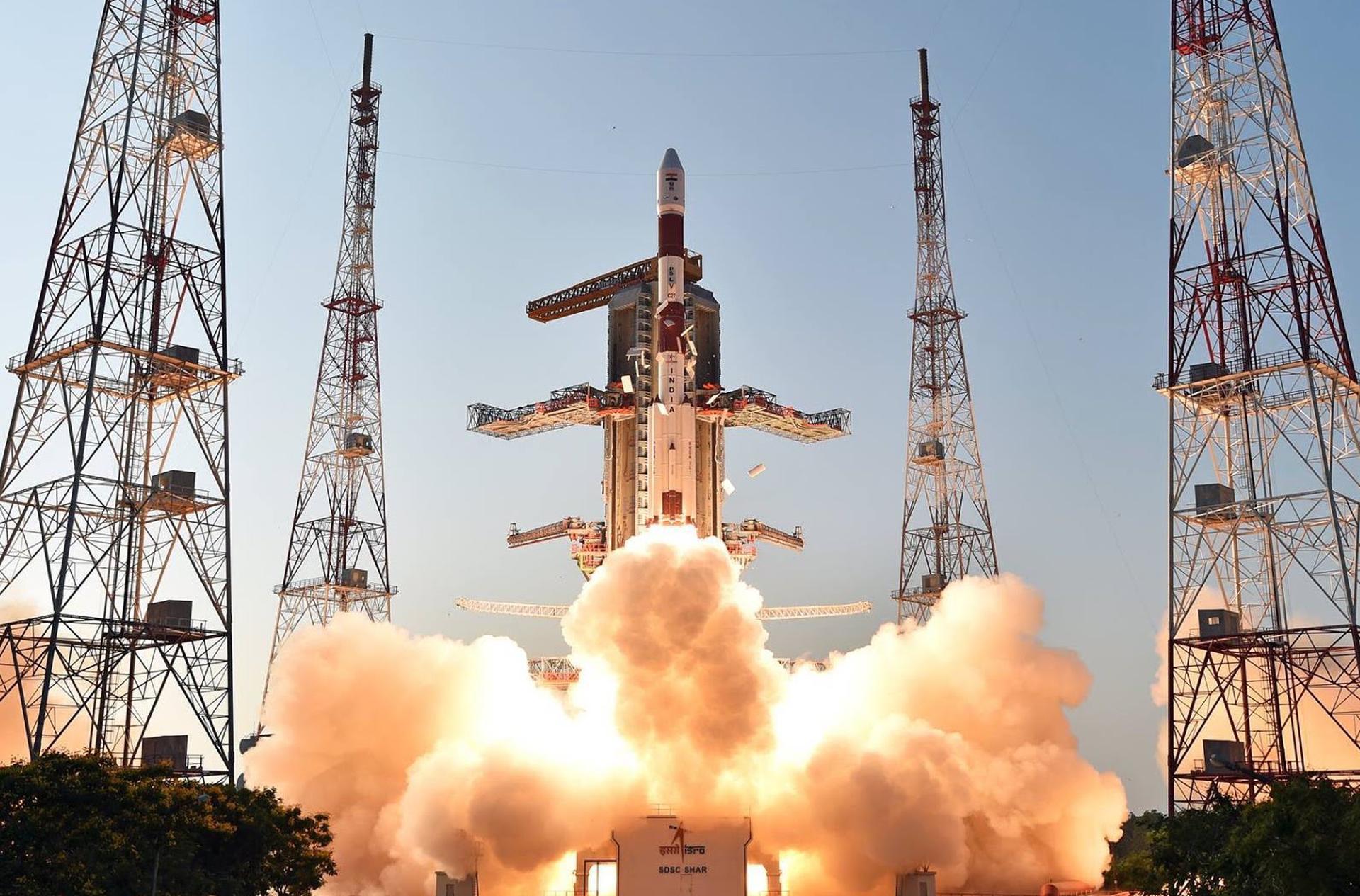
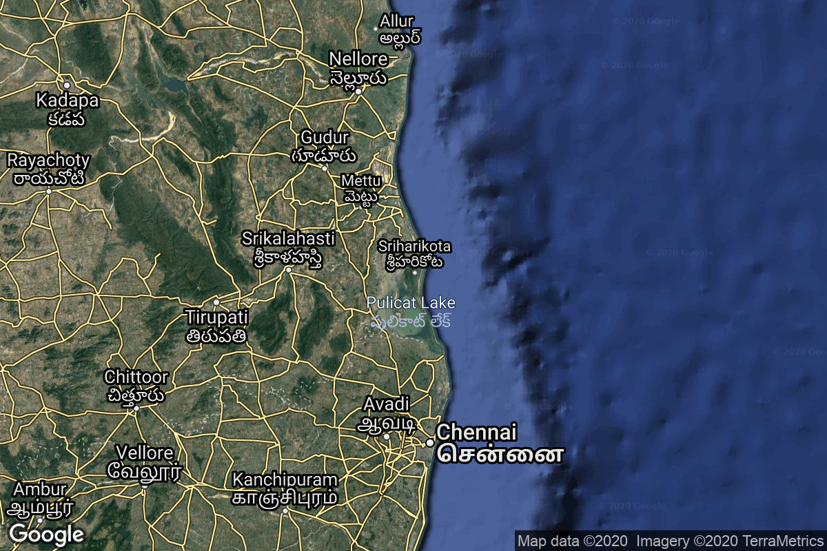
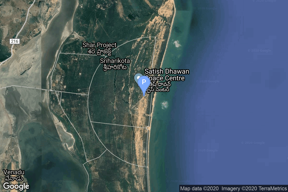
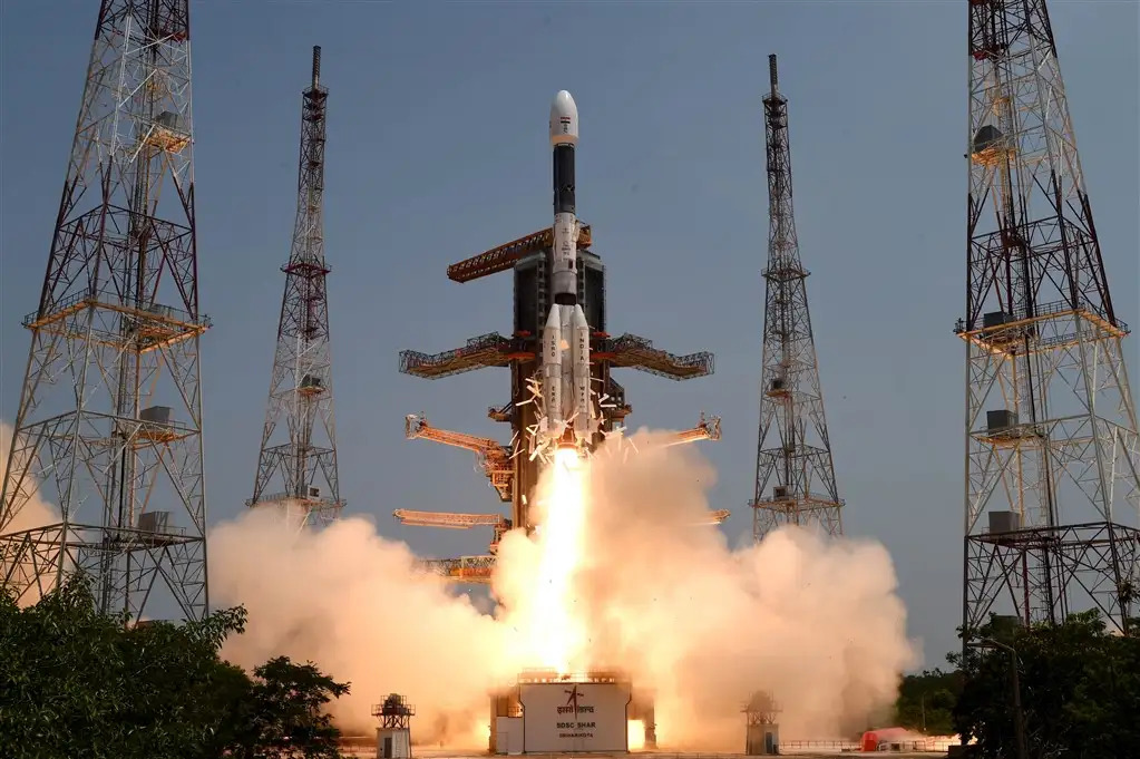
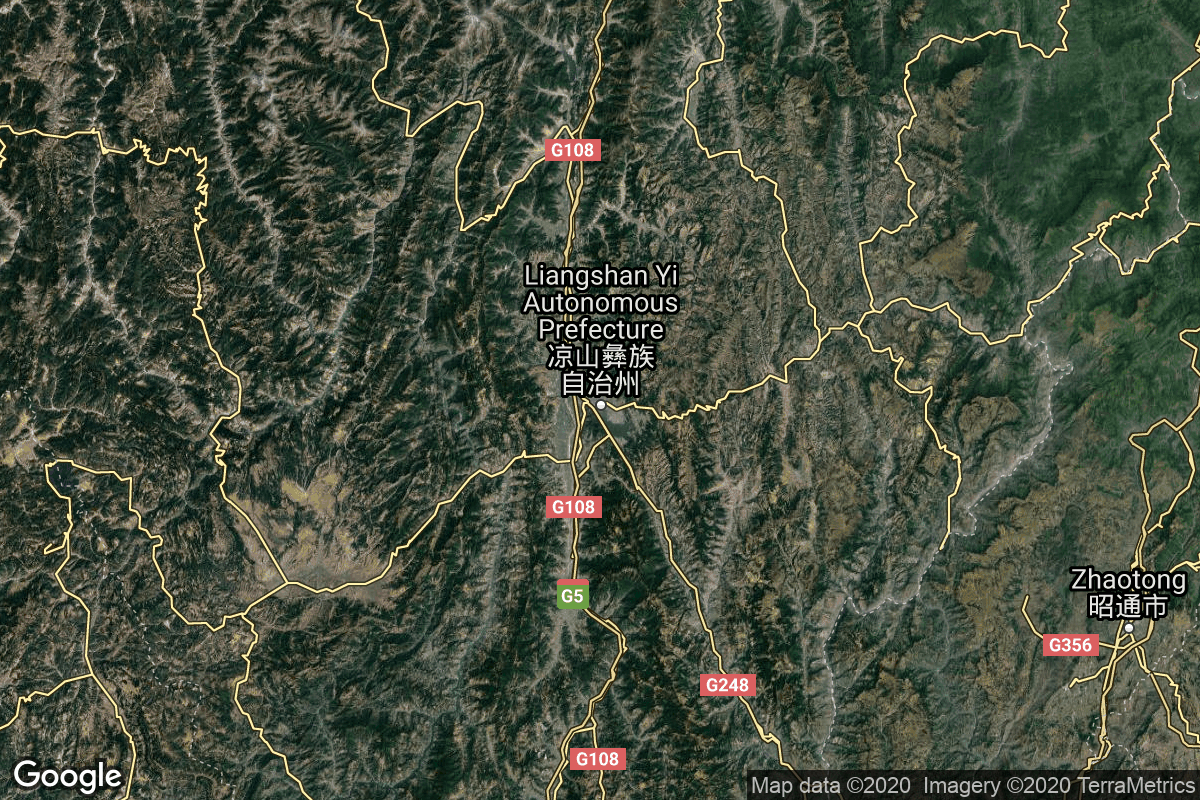
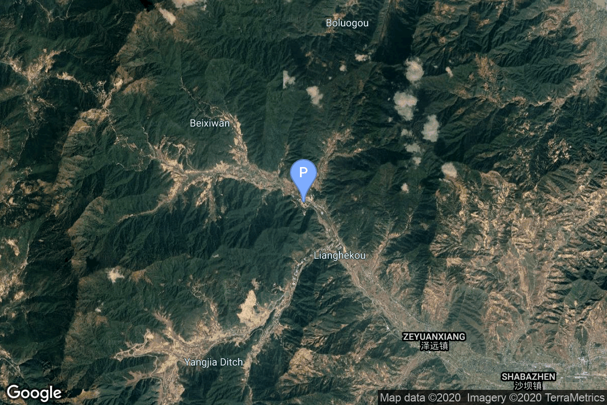
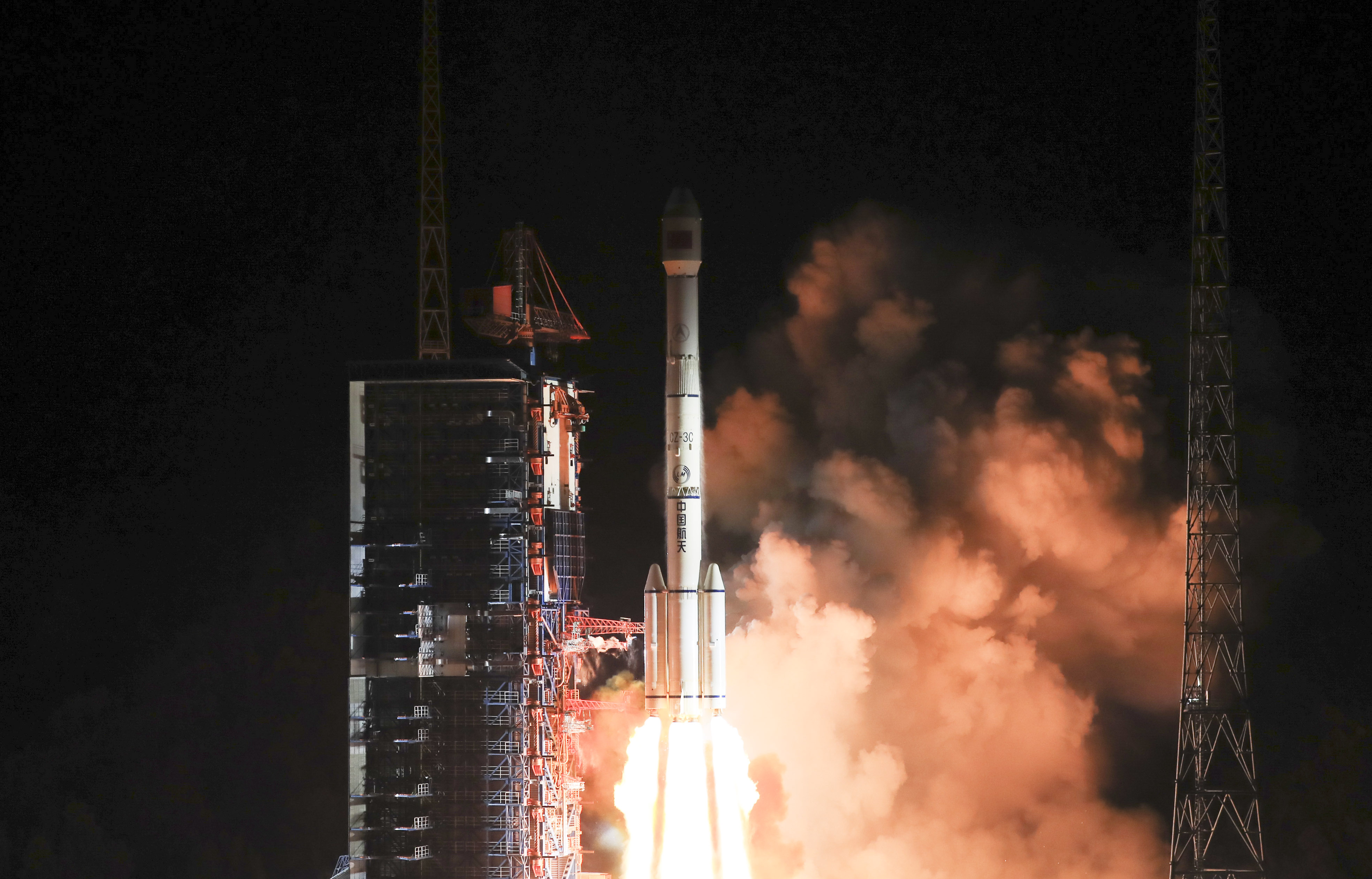
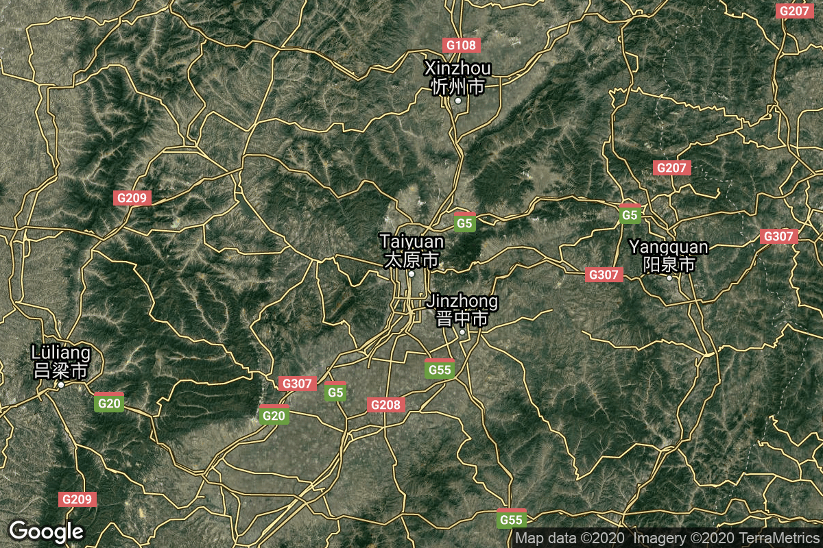
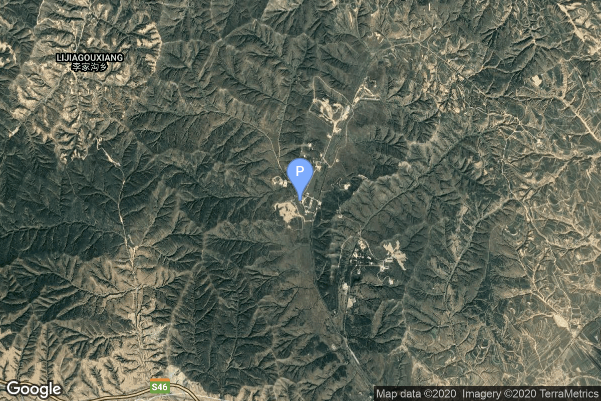
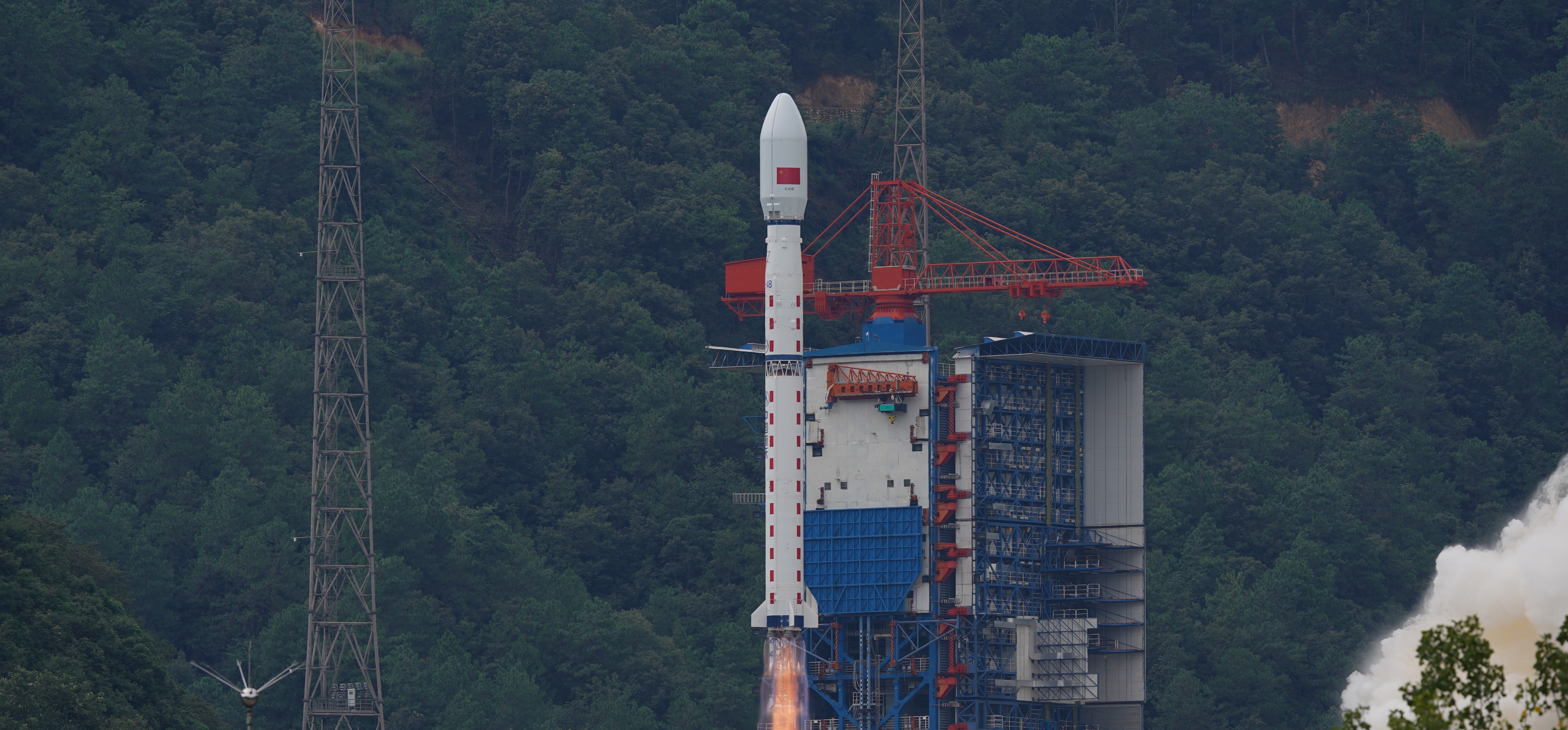
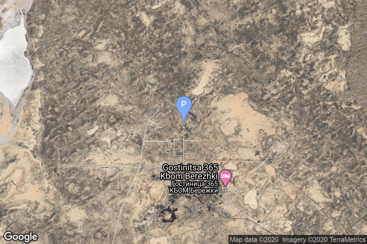
{ "count": 8129, "next": "https://ll.thespacedevs.com/2.2.0/launch/?format=api&limit=10&offset=7400&ordering=id", "previous": "https://ll.thespacedevs.com/2.2.0/launch/?format=api&limit=10&offset=7380&ordering=id", "results": [ { "id": "e72fc491-c2ea-4f17-aa48-749ce4115bfd", "url": "https://ll.thespacedevs.com/2.2.0/launch/e72fc491-c2ea-4f17-aa48-749ce4115bfd/?format=api", "slug": "gslv-mk-ii-irnss-1m-nvs-04", "name": "GSLV Mk II | IRNSS-1M (NVS-04)", "status": { "id": 2, "name": "To Be Determined", "abbrev": "TBD", "description": "Current date is a placeholder or rough estimation based on unreliable or interpreted sources." }, "last_updated": "2026-09-03T22:16:48Z", "net": "2027-12-31T00:00:00Z", "window_end": "2027-12-31T00:00:00Z", "window_start": "2027-12-31T00:00:00Z", "net_precision": { "id": 14, "name": "Year", "abbrev": "Y", "description": "The T-0 is expected in the given year." }, "probability": null, "weather_concerns": null, "holdreason": "", "failreason": "", "hashtag": null, "launch_service_provider": { "id": 31, "url": "https://ll.thespacedevs.com/2.2.0/agencies/31/?format=api", "name": "Indian Space Research Organization", "type": "Government" }, "rocket": { "id": 9129, "configuration": { "id": 168, "url": "https://ll.thespacedevs.com/2.2.0/config/launcher/168/?format=api", "name": "GSLV Mk II", "family": "GSLV", "full_name": "GSLV Mk. II", "variant": "" } }, "mission": { "id": 7726, "name": "IRNSS-1M (NVS-04)", "description": "This is a replacement satellite for the Indian Regional Navigation Satellite System. The constellation will provide India with an alternative to GPS and will be used for military and civilian use. Located at a geosynchronous orbit, the system will be operated by the Indian government.", "launch_designator": null, "type": "Navigation", "orbit": { "id": 2, "name": "Geostationary Transfer Orbit", "abbrev": "GTO" }, "agencies": [ { "id": 31, "url": "https://ll.thespacedevs.com/2.2.0/agencies/31/?format=api", "name": "Indian Space Research Organization", "featured": true, "type": "Government", "country_code": "IND", "abbrev": "ISRO", "description": "The Indian Space Research Organisation (ISRO) is the space agency of the Government of India headquartered in the city of Bangalore. Its vision is to \"harness space technology for national development while pursuing space science research and planetary exploration.\"", "administrator": "Chairman: V. Narayanan", "founding_year": "1969", "launchers": "PSLV | GSLV", "spacecraft": "Gaganyaan", "launch_library_url": null, "total_launch_count": 101, "consecutive_successful_launches": 2, "successful_launches": 86, "failed_launches": 15, "pending_launches": 20, "consecutive_successful_landings": 0, "successful_landings": 0, "failed_landings": 0, "attempted_landings": 0, "info_url": "https://www.isro.gov.in/", "wiki_url": "https://en.wikipedia.org/wiki/Indian_Space_Research_Organization", "logo_url": "https://thespacedevs-prod.nyc3.digitaloceanspaces.com/media/images/indian2520space2520research2520organization_logo_20190215225409.png", "image_url": "https://thespacedevs-prod.nyc3.digitaloceanspaces.com/media/images/indian2520space2520research2520organization_image_20190215225409.jpeg", "nation_url": "https://thespacedevs-prod.nyc3.digitaloceanspaces.com/media/images/indian2520space2520research2520organization_nation_20230624125733.jpg" } ], "info_urls": [], "vid_urls": [] }, "pad": { "id": 82, "url": "https://ll.thespacedevs.com/2.2.0/pad/82/?format=api", "agency_id": 31, "name": "Satish Dhawan Space Centre Second Launch Pad", "description": "The second launch pad was built between 1999 and 2003. It became functional in 2005 and has since been used for various rockets. This launch pad supports missions by PSLV, GSLV, LVM3 rockets and is even envisioned for India's future crewed spaceflight.", "info_url": null, "wiki_url": "https://en.wikipedia.org/wiki/Satish_Dhawan_Space_Centre_Second_Launch_Pad", "map_url": "https://www.google.com/maps?q=13.7199,80.2304", "latitude": "13.7199", "longitude": "80.2304", "location": { "id": 14, "url": "https://ll.thespacedevs.com/2.2.0/location/14/?format=api", "name": "Satish Dhawan Space Centre, India", "country_code": "IND", "description": "Satish Dhawan Space Centre – SDSC (formerly Sriharikota Range – SHAR) is the primary spaceport of the Indian Space Research Organisation (ISRO), located in Sriharikota, Andhra Pradesh.", "map_image": "https://thespacedevs-prod.nyc3.digitaloceanspaces.com/media/map_images/location_14_20200803142403.jpg", "timezone_name": "Asia/Kolkata", "total_launch_count": 106, "total_landing_count": 0 }, "country_code": "IND", "map_image": "https://thespacedevs-prod.nyc3.digitaloceanspaces.com/media/map_images/pad_82_20200803143602.jpg", "total_launch_count": 34, "orbital_launch_attempt_count": 33 }, "webcast_live": false, "image": "https://thespacedevs-prod.nyc3.digitaloceanspaces.com/media/images/gslv2520mk252_image_20240101090337.jpg", "infographic": null, "program": [], "orbital_launch_attempt_count": 7678, "location_launch_attempt_count": 126, "pad_launch_attempt_count": 45, "agency_launch_attempt_count": 121, "orbital_launch_attempt_count_year": 146, "location_launch_attempt_count_year": 15, "pad_launch_attempt_count_year": 9, "agency_launch_attempt_count_year": 15, "type": "normal" }, { "id": "e7434c5e-3660-4135-9f91-46b1bfbd01fc", "url": "https://ll.thespacedevs.com/2.2.0/launch/e7434c5e-3660-4135-9f91-46b1bfbd01fc/?format=api", "slug": "diamant-a-asterix", "name": "Diamant A | Asterix", "status": { "id": 3, "name": "Launch Successful", "abbrev": "Success", "description": "The launch vehicle successfully inserted its payload(s) into the target orbit(s)." }, "last_updated": "2023-06-14T04:25:02Z", "net": "1965-11-26T14:47:21Z", "window_end": "1965-11-26T14:47:21Z", "window_start": "1965-11-26T14:47:21Z", "net_precision": null, "probability": null, "weather_concerns": null, "holdreason": "", "failreason": null, "hashtag": null, "launch_service_provider": { "id": 46, "url": "https://ll.thespacedevs.com/2.2.0/agencies/46/?format=api", "name": "National Center of Space Research", "type": "Government" }, "rocket": { "id": 3460, "configuration": { "id": 311, "url": "https://ll.thespacedevs.com/2.2.0/config/launcher/311/?format=api", "name": "Diamant A", "family": "Diamant", "full_name": "Diamant A", "variant": "A" } }, "mission": { "id": 1880, "name": "Asterix", "description": "First french satellite", "launch_designator": null, "type": "Test Flight", "orbit": { "id": 8, "name": "Low Earth Orbit", "abbrev": "LEO" }, "agencies": [], "info_urls": [], "vid_urls": [] }, "pad": { "id": 141, "url": "https://ll.thespacedevs.com/2.2.0/pad/141/?format=api", "agency_id": null, "name": "Brigitte", "description": null, "info_url": null, "wiki_url": "https://en.wikipedia.org/wiki/Hammaguir", "map_url": "https://www.google.com/maps?q=30.7787318,-3.0669721", "latitude": "30.7787318", "longitude": "-3.0669721", "location": { "id": 147, "url": "https://ll.thespacedevs.com/2.2.0/location/147/?format=api", "name": "Interarmy Special Vehicles Test Centre, French Algeria", "country_code": "FRA", "description": "The Centre Interarmées d'Essais d'Engins Spéciaux was France's first space launch and ballistic missile testing facility. Outside France, the facility is often referred to by the name of the nearest town, Hammaguir. It was established on 24 April 1947, by ministerial decree as the Special Weapons Test Center (CEES, Centre d'essais d'engins spéciaux) for use by the French Army. In 1948, it was turned over to the French Air Force, who renamed it CIEES. Its remote location in the middle of the Saharan Desert and its relative closeness to the Equator (compared with Metropolitan France) made it an attractive launch site for missiles and orbital rockets.", "map_image": "https://thespacedevs-prod.nyc3.digitaloceanspaces.com/media/map_images/location_147_20240808092142.jpg", "timezone_name": "Africa/Algiers", "total_launch_count": 4, "total_landing_count": 0 }, "country_code": "FRA", "map_image": "https://thespacedevs-prod.nyc3.digitaloceanspaces.com/media/map_images/pad_141_20200803143211.jpg", "total_launch_count": 4, "orbital_launch_attempt_count": 4 }, "webcast_live": false, "image": "https://thespacedevs-prod.nyc3.digitaloceanspaces.com/media/images/diamant_a_lifto_image_20240411170731.png", "infographic": null, "program": [], "orbital_launch_attempt_count": 500, "location_launch_attempt_count": 1, "pad_launch_attempt_count": 1, "agency_launch_attempt_count": 1, "orbital_launch_attempt_count_year": 107, "location_launch_attempt_count_year": 1, "pad_launch_attempt_count_year": 1, "agency_launch_attempt_count_year": 1, "type": "normal" }, { "id": "e74ae6eb-f75e-4924-9585-db33e5c6282a", "url": "https://ll.thespacedevs.com/2.2.0/launch/e74ae6eb-f75e-4924-9585-db33e5c6282a/?format=api", "slug": "molniya-m-molniya-1-25", "name": "Molniya-M | Molniya-1 25", "status": { "id": 3, "name": "Launch Successful", "abbrev": "Success", "description": "The launch vehicle successfully inserted its payload(s) into the target orbit(s)." }, "last_updated": "2023-06-14T03:48:39Z", "net": "1973-11-14T20:40:02Z", "window_end": "1973-11-14T20:40:02Z", "window_start": "1973-11-14T20:40:02Z", "net_precision": null, "probability": null, "weather_concerns": null, "holdreason": "", "failreason": null, "hashtag": null, "launch_service_provider": { "id": 66, "url": "https://ll.thespacedevs.com/2.2.0/agencies/66/?format=api", "name": "Soviet Space Program", "type": "Government" }, "rocket": { "id": 4419, "configuration": { "id": 106, "url": "https://ll.thespacedevs.com/2.2.0/config/launcher/106/?format=api", "name": "Molniya-M", "family": "R-7", "full_name": "Molniya-M 2BL", "variant": "2BL" } }, "mission": { "id": 2837, "name": "Molniya-1 25", "description": "The Molniya were Soviet communication satellites operating from an inclined highly elliptical earth orbit of 500 km × 40000 km with 12 hour period for coverage of high northern latitudes.", "launch_designator": null, "type": "Communications", "orbit": { "id": 0, "name": "Elliptical Orbit", "abbrev": "Elliptical" }, "agencies": [], "info_urls": [], "vid_urls": [] }, "pad": { "id": 32, "url": "https://ll.thespacedevs.com/2.2.0/pad/32/?format=api", "agency_id": null, "name": "1/5", "description": null, "info_url": null, "wiki_url": "", "map_url": "https://www.google.com/maps?q=45.92,63.342", "latitude": "45.92", "longitude": "63.342", "location": { "id": 15, "url": "https://ll.thespacedevs.com/2.2.0/location/15/?format=api", "name": "Baikonur Cosmodrome, Republic of Kazakhstan", "country_code": "KAZ", "description": "The Baikonur Cosmodrome is a spaceport operated by Russia within Kazakhstan. Located in the Kazakh city of Baikonur, it is the largest operational space launch facility in terms of area. All Russian crewed spaceflights are launched from Baikonur.", "map_image": "https://thespacedevs-prod.nyc3.digitaloceanspaces.com/media/map_images/location_15_20200803142517.jpg", "timezone_name": "Asia/Qyzylorda", "total_launch_count": 1565, "total_landing_count": 0 }, "country_code": "KAZ", "map_image": "https://thespacedevs-prod.nyc3.digitaloceanspaces.com/media/map_images/pad_32_20200803143513.jpg", "total_launch_count": 487, "orbital_launch_attempt_count": 487 }, "webcast_live": false, "image": "https://thespacedevs-prod.nyc3.digitaloceanspaces.com/media/images/molniya_m_image_20251102061752.jpg", "infographic": null, "program": [], "orbital_launch_attempt_count": 1518, "location_launch_attempt_count": 385, "pad_launch_attempt_count": 137, "agency_launch_attempt_count": 784, "orbital_launch_attempt_count_year": 96, "location_launch_attempt_count_year": 20, "pad_launch_attempt_count_year": 8, "agency_launch_attempt_count_year": 72, "type": "normal" }, { "id": "e754e719-c183-483a-8fcc-79e3604497cb", "url": "https://ll.thespacedevs.com/2.2.0/launch/e754e719-c183-483a-8fcc-79e3604497cb/?format=api", "slug": "soyuz-21bfregat-m-glonass-m-no-56-kosmos-2527", "name": "Soyuz 2.1b/Fregat-M | Glonass-M No. 56 (Kosmos 2527)", "status": { "id": 3, "name": "Launch Successful", "abbrev": "Success", "description": "The launch vehicle successfully inserted its payload(s) into the target orbit(s)." }, "last_updated": "2023-06-14T04:11:14Z", "net": "2018-06-16T21:46:28Z", "window_end": "2018-06-16T21:46:28Z", "window_start": "2018-06-16T21:30:00Z", "net_precision": null, "probability": null, "weather_concerns": null, "holdreason": "", "failreason": "", "hashtag": null, "launch_service_provider": { "id": 193, "url": "https://ll.thespacedevs.com/2.2.0/agencies/193/?format=api", "name": "Russian Space Forces", "type": "Government" }, "rocket": { "id": 2111, "configuration": { "id": 134, "url": "https://ll.thespacedevs.com/2.2.0/config/launcher/134/?format=api", "name": "Soyuz 2.1b/Fregat-M", "family": "Soyuz", "full_name": "Soyuz 2.1b Fregat-M", "variant": "Fregat-M" } }, "mission": { "id": 587, "name": "Glonass-M No. 56 (Kosmos 2527)", "description": "GLONASS is a global satellite navigation system similar to the American GPS system.", "launch_designator": null, "type": "Navigation", "orbit": { "id": 12, "name": "Medium Earth Orbit", "abbrev": "MEO" }, "agencies": [], "info_urls": [], "vid_urls": [] }, "pad": { "id": 85, "url": "https://ll.thespacedevs.com/2.2.0/pad/85/?format=api", "agency_id": 163, "name": "43/4 (43R)", "description": "", "info_url": null, "wiki_url": null, "map_url": "https://www.google.com/maps?q=62.92883,40.457098", "latitude": "62.92883", "longitude": "40.457098", "location": { "id": 6, "url": "https://ll.thespacedevs.com/2.2.0/location/6/?format=api", "name": "Plesetsk Cosmodrome, Russian Federation", "country_code": "RUS", "description": "Plesetsk Cosmodrome is a Russian spaceport located in Mirny, Arkhangelsk Oblast, about 800 km north of Moscow and approximately 200 km south of Arkhangelsk. Originally developed as an ICBM site for the R-7 missile, it also served for numerous satellite launches using the R-7 and other rockets. Its high latitude makes it useful only for certain types of launches, especially the Molniya orbits, so for much of the site's history it functioned as a secondary location, with most orbital launches taking place from Baikonur, in the Kazakh SSR. With the end of the Soviet Union, Baikonur became a foreign territory, and Kazakhstan charged $115 million usage fees annually. Consequently, Plesetsk has seen considerably more activity since the 2000s.", "map_image": "https://thespacedevs-prod.nyc3.digitaloceanspaces.com/media/map_images/location_6_20200803142434.jpg", "timezone_name": "Europe/Moscow", "total_launch_count": 1688, "total_landing_count": 0 }, "country_code": "RUS", "map_image": "https://thespacedevs-prod.nyc3.digitaloceanspaces.com/media/map_images/pad_85_20200803143554.jpg", "total_launch_count": 329, "orbital_launch_attempt_count": 329 }, "webcast_live": false, "image": "https://thespacedevs-prod.nyc3.digitaloceanspaces.com/media/images/soyuz_2.1b_image_20230802085331.jpg", "infographic": null, "program": [ { "id": 34, "url": "https://ll.thespacedevs.com/2.2.0/program/34/?format=api", "name": "GLONASS", "description": "GLONASS (ГЛОНАСС, IPA: [ɡɫɐˈnas]; Russian: Глобальная навигационная спутниковая система, tr. Global'naya Navigatsionnaya Sputnikovaya Sistema, lit. 'Global Navigation Satellite System') is a Russian satellite navigation system operating as part of a radionavigation-satellite service. It provides an alternative to Global Positioning System (GPS) and is the second navigational system in operation with global coverage and of comparable precision.", "agencies": [ { "id": 63, "url": "https://ll.thespacedevs.com/2.2.0/agencies/63/?format=api", "name": "Russian Federal Space Agency (ROSCOSMOS)", "type": "Government" } ], "image_url": "https://thespacedevs-prod.nyc3.digitaloceanspaces.com/media/images/glonass_program_20240102170258.png", "start_date": "1982-10-12T00:00:00Z", "end_date": null, "info_url": "https://www.glonass-iac.ru/en/", "wiki_url": "https://en.wikipedia.org/wiki/GLONASS", "mission_patches": [], "type": { "id": 4, "name": "Navigation Constellation" } } ], "orbital_launch_attempt_count": 5759, "location_launch_attempt_count": 1623, "pad_launch_attempt_count": 292, "agency_launch_attempt_count": 98, "orbital_launch_attempt_count_year": 53, "location_launch_attempt_count_year": 3, "pad_launch_attempt_count_year": 2, "agency_launch_attempt_count_year": 2, "type": "normal" }, { "id": "e75e61de-97f7-4364-9573-f8ba0051ebe4", "url": "https://ll.thespacedevs.com/2.2.0/launch/e75e61de-97f7-4364-9573-f8ba0051ebe4/?format=api", "slug": "long-march-3ce-change-5-t1", "name": "Long March 3C/E | Chang'e 5-T1", "status": { "id": 3, "name": "Launch Successful", "abbrev": "Success", "description": "The launch vehicle successfully inserted its payload(s) into the target orbit(s)." }, "last_updated": "2023-06-14T03:53:43Z", "net": "2014-10-23T18:00:04Z", "window_end": "2014-10-23T18:00:04Z", "window_start": "2014-10-23T18:00:04Z", "net_precision": null, "probability": null, "weather_concerns": null, "holdreason": "", "failreason": "", "hashtag": null, "launch_service_provider": { "id": 88, "url": "https://ll.thespacedevs.com/2.2.0/agencies/88/?format=api", "name": "China Aerospace Science and Technology Corporation", "type": "Government" }, "rocket": { "id": 1793, "configuration": { "id": 51, "url": "https://ll.thespacedevs.com/2.2.0/config/launcher/51/?format=api", "name": "Long March 3C/E", "family": "Long March", "full_name": "Long March 3C/E", "variant": "C/E" } }, "mission": null, "pad": { "id": 45, "url": "https://ll.thespacedevs.com/2.2.0/pad/45/?format=api", "agency_id": null, "name": "Launch Complex 2 (LC-2)", "description": "", "info_url": null, "wiki_url": "https://en.wikipedia.org/wiki/Xichang_Satellite_Launch_Center", "map_url": "https://www.google.com/maps?q=28.245504,102.026768", "latitude": "28.245504", "longitude": "102.026768", "location": { "id": 16, "url": "https://ll.thespacedevs.com/2.2.0/location/16/?format=api", "name": "Xichang Satellite Launch Center, People's Republic of China", "country_code": "CHN", "description": "The Xichang Satellite Launch Center is a spaceport in China. It is located in Zeyuan Town, northwest of Xichang, Liangshan Yi Autonomous Prefecture in Sichuan.", "map_image": "https://thespacedevs-prod.nyc3.digitaloceanspaces.com/media/map_images/location_16_20200803142513.jpg", "timezone_name": "Asia/Shanghai", "total_launch_count": 242, "total_landing_count": 0 }, "country_code": "CHN", "map_image": "https://thespacedevs-prod.nyc3.digitaloceanspaces.com/media/map_images/pad_45_20200803143520.jpg", "total_launch_count": 126, "orbital_launch_attempt_count": 126 }, "webcast_live": false, "image": "https://thespacedevs-prod.nyc3.digitaloceanspaces.com/media/images/long_march_3c2_image_20250906201328.jpg", "infographic": null, "program": [ { "id": 18, "url": "https://ll.thespacedevs.com/2.2.0/program/18/?format=api", "name": "Chinese Lunar Exploration Program", "description": "The Chinese Lunar Exploration Program also known as the Chang'e Project after the Chinese moon goddess Chang'e, is an ongoing series of robotic Moon missions by the China National Space Administration (CNSA). The program incorporates lunar orbiters, landers, rovers and sample return spacecraft, launched using Long March rockets.", "agencies": [ { "id": 17, "url": "https://ll.thespacedevs.com/2.2.0/agencies/17/?format=api", "name": "China National Space Administration", "type": "Government" } ], "image_url": "https://thespacedevs-prod.nyc3.digitaloceanspaces.com/media/images/chinese2520lun_program_20201129190923.png", "start_date": "2003-01-01T00:00:00Z", "end_date": null, "info_url": null, "wiki_url": "https://en.wikipedia.org/wiki/Chinese_Lunar_Exploration_Program", "mission_patches": [], "type": { "id": 5, "name": "Exploration" } } ], "orbital_launch_attempt_count": 5416, "location_launch_attempt_count": 83, "pad_launch_attempt_count": 56, "agency_launch_attempt_count": 142, "orbital_launch_attempt_count_year": 67, "location_launch_attempt_count_year": 1, "pad_launch_attempt_count_year": 1, "agency_launch_attempt_count_year": 8, "type": "normal" }, { "id": "e7688e0c-c559-4ffd-a537-28c6d7277c41", "url": "https://ll.thespacedevs.com/2.2.0/launch/e7688e0c-c559-4ffd-a537-28c6d7277c41/?format=api", "slug": "long-march-4b-zi-yuan-1-02c", "name": "Long March 4B | Zi Yuan 1-02C", "status": { "id": 3, "name": "Launch Successful", "abbrev": "Success", "description": "The launch vehicle successfully inserted its payload(s) into the target orbit(s)." }, "last_updated": "2024-06-15T13:57:39Z", "net": "2011-12-22T03:26:14Z", "window_end": "2011-12-22T03:26:14Z", "window_start": "2011-12-22T03:26:14Z", "net_precision": { "id": 0, "name": "Second", "abbrev": "SEC", "description": "The T-0 is accurate to the second." }, "probability": null, "weather_concerns": null, "holdreason": "", "failreason": "", "hashtag": null, "launch_service_provider": { "id": 88, "url": "https://ll.thespacedevs.com/2.2.0/agencies/88/?format=api", "name": "China Aerospace Science and Technology Corporation", "type": "Government" }, "rocket": { "id": 1582, "configuration": { "id": 10, "url": "https://ll.thespacedevs.com/2.2.0/config/launcher/10/?format=api", "name": "Long March 4B", "family": "Long March", "full_name": "Long March 4B", "variant": "B" } }, "mission": null, "pad": { "id": 33, "url": "https://ll.thespacedevs.com/2.2.0/pad/33/?format=api", "agency_id": null, "name": "Launch Complex 7", "description": null, "info_url": null, "wiki_url": null, "map_url": "https://www.google.com/maps?q=38.8489311,111.6079339", "latitude": "38.8489311", "longitude": "111.6079339", "location": { "id": 19, "url": "https://ll.thespacedevs.com/2.2.0/location/19/?format=api", "name": "Taiyuan Satellite Launch Center, People's Republic of China", "country_code": "CHN", "description": "The Taiyuan Satellite Launch Center is a People's Republic of China space and defense launch facility. It is situated in Kelan County, Xinzhou, Shanxi Province and is the second of four launch sites having been founded in March 1966 and coming into full operation in 1968.", "map_image": "https://thespacedevs-prod.nyc3.digitaloceanspaces.com/media/map_images/location_19_20200803142421.jpg", "timezone_name": "Asia/Shanghai", "total_launch_count": 163, "total_landing_count": 0 }, "country_code": "CHN", "map_image": "https://thespacedevs-prod.nyc3.digitaloceanspaces.com/media/map_images/pad_33_20200803143335.jpg", "total_launch_count": 32, "orbital_launch_attempt_count": 32 }, "webcast_live": false, "image": "https://thespacedevs-prod.nyc3.digitaloceanspaces.com/media/images/long_march_4b_l_image_20251209044050.jpeg", "infographic": null, "program": [], "orbital_launch_attempt_count": 5188, "location_launch_attempt_count": 39, "pad_launch_attempt_count": 31, "agency_launch_attempt_count": 101, "orbital_launch_attempt_count_year": 82, "location_launch_attempt_count_year": 4, "pad_launch_attempt_count_year": 3, "agency_launch_attempt_count_year": 19, "type": "normal" }, { "id": "e792b5fb-3b68-4726-956f-4a5e81b26b4f", "url": "https://ll.thespacedevs.com/2.2.0/launch/e792b5fb-3b68-4726-956f-4a5e81b26b4f/?format=api", "slug": "tsiklon-2-us-a-31", "name": "Tsiklon-2 | US-A 31", "status": { "id": 3, "name": "Launch Successful", "abbrev": "Success", "description": "The launch vehicle successfully inserted its payload(s) into the target orbit(s)." }, "last_updated": "2023-06-14T04:24:17Z", "net": "1987-12-12T05:40:00Z", "window_end": "1987-12-12T05:40:00Z", "window_start": "1987-12-12T05:40:00Z", "net_precision": null, "probability": null, "weather_concerns": null, "holdreason": "", "failreason": null, "hashtag": null, "launch_service_provider": { "id": 66, "url": "https://ll.thespacedevs.com/2.2.0/agencies/66/?format=api", "name": "Soviet Space Program", "type": "Government" }, "rocket": { "id": 6021, "configuration": { "id": 443, "url": "https://ll.thespacedevs.com/2.2.0/config/launcher/443/?format=api", "name": "Tsiklon-2", "family": "Tsiklon", "full_name": "Tsiklon-2", "variant": "2" } }, "mission": { "id": 4412, "name": "US-A 31", "description": "Active radar satellite for ocean surveillance powered by a nuclear reactor.", "launch_designator": null, "type": "Government/Top Secret", "orbit": { "id": 8, "name": "Low Earth Orbit", "abbrev": "LEO" }, "agencies": [], "info_urls": [], "vid_urls": [] }, "pad": { "id": 132, "url": "https://ll.thespacedevs.com/2.2.0/pad/132/?format=api", "agency_id": null, "name": "90", "description": null, "info_url": null, "wiki_url": "https://en.wikipedia.org/wiki/Baikonur_Cosmodrome_Site_90", "map_url": "https://www.google.com/maps?q=46.081,62.929806", "latitude": "46.081", "longitude": "62.929806", "location": { "id": 15, "url": "https://ll.thespacedevs.com/2.2.0/location/15/?format=api", "name": "Baikonur Cosmodrome, Republic of Kazakhstan", "country_code": "KAZ", "description": "The Baikonur Cosmodrome is a spaceport operated by Russia within Kazakhstan. Located in the Kazakh city of Baikonur, it is the largest operational space launch facility in terms of area. All Russian crewed spaceflights are launched from Baikonur.", "map_image": "https://thespacedevs-prod.nyc3.digitaloceanspaces.com/media/map_images/location_15_20200803142517.jpg", "timezone_name": "Asia/Qyzylorda", "total_launch_count": 1565, "total_landing_count": 0 }, "country_code": "KAZ", "map_image": "https://thespacedevs-prod.nyc3.digitaloceanspaces.com/media/map_images/pad_132_20200803143344.jpg", "total_launch_count": 74, "orbital_launch_attempt_count": 74 }, "webcast_live": false, "image": "https://thespacedevs-prod.nyc3.digitaloceanspaces.com/media/images/tsyklon-2_lifto_image_20240411113159.jpg", "infographic": null, "program": [], "orbital_launch_attempt_count": 3244, "location_launch_attempt_count": 844, "pad_launch_attempt_count": 63, "agency_launch_attempt_count": 2138, "orbital_launch_attempt_count_year": 105, "location_launch_attempt_count_year": 44, "pad_launch_attempt_count_year": 6, "agency_launch_attempt_count_year": 88, "type": "normal" }, { "id": "e79629ef-8f06-4273-b15a-b66723c06fd7", "url": "https://ll.thespacedevs.com/2.2.0/launch/e79629ef-8f06-4273-b15a-b66723c06fd7/?format=api", "slug": "atlas-iia-uhf-fo-f10", "name": "Atlas IIA | UHF F/O F10", "status": { "id": 3, "name": "Launch Successful", "abbrev": "Success", "description": "The launch vehicle successfully inserted its payload(s) into the target orbit(s)." }, "last_updated": "2023-06-14T17:39:58Z", "net": "1999-11-23T04:06:01Z", "window_end": "1999-11-23T04:06:01Z", "window_start": "1999-11-23T04:06:01Z", "net_precision": null, "probability": null, "weather_concerns": null, "holdreason": "", "failreason": null, "hashtag": null, "launch_service_provider": { "id": 82, "url": "https://ll.thespacedevs.com/2.2.0/agencies/82/?format=api", "name": "Lockheed Martin", "type": "Commercial" }, "rocket": { "id": 6955, "configuration": { "id": 254, "url": "https://ll.thespacedevs.com/2.2.0/config/launcher/254/?format=api", "name": "Atlas IIA", "family": "Atlas", "full_name": "Atlas IIA", "variant": "IIA" } }, "mission": { "id": 5344, "name": "UHF F/O F10", "description": "The U.S. Navy began replacing and upgrading its ultra-high frequency (UHF) satellite communications network during the 1990s with a constellation of customized satellites built by Hughes Space and Communications Company. Known as the UFO (Ultra High Frequency Follow On) series, these HS-601 model satellites support the Navy's global communications network, serving ships at sea and a variety of other U.S. military fixed and mobile terminals.", "launch_designator": null, "type": "Communications", "orbit": { "id": 1, "name": "Geostationary Orbit", "abbrev": "Direct-GEO" }, "agencies": [], "info_urls": [], "vid_urls": [] }, "pad": { "id": 122, "url": "https://ll.thespacedevs.com/2.2.0/pad/122/?format=api", "agency_id": 161, "name": "Launch Complex 36B", "description": null, "info_url": null, "wiki_url": "https://en.wikipedia.org/wiki/Cape_Canaveral_Launch_Complex_36", "map_url": "https://www.google.com/maps?q=28.4705556,-80.542194", "latitude": "28.4705556", "longitude": "-80.542194", "location": { "id": 12, "url": "https://ll.thespacedevs.com/2.2.0/location/12/?format=api", "name": "Cape Canaveral SFS, FL, USA", "country_code": "USA", "description": "Cape Canaveral Space Force Station (CCSFS) is an installation of the United States Space Force's Space Launch Delta 45, located on Cape Canaveral in Brevard County, Florida.", "map_image": "https://thespacedevs-prod.nyc3.digitaloceanspaces.com/media/map_images/location_12_20200803142519.jpg", "timezone_name": "America/New_York", "total_launch_count": 1132, "total_landing_count": 83 }, "country_code": "USA", "map_image": "https://thespacedevs-prod.nyc3.digitaloceanspaces.com/media/map_images/pad_122_20200803143232.jpg", "total_launch_count": 76, "orbital_launch_attempt_count": 76 }, "webcast_live": false, "image": "https://thespacedevs-prod.nyc3.digitaloceanspaces.com/media/images/launch_of_an_at_image_20251123092831.jpg", "infographic": null, "program": [], "orbital_launch_attempt_count": 4356, "location_launch_attempt_count": 572, "pad_launch_attempt_count": 65, "agency_launch_attempt_count": 45, "orbital_launch_attempt_count_year": 67, "location_launch_attempt_count_year": 16, "pad_launch_attempt_count_year": 1, "agency_launch_attempt_count_year": 7, "type": "normal" }, { "id": "e7a1e5ba-62fd-4f4d-9343-fa2cc0141904", "url": "https://ll.thespacedevs.com/2.2.0/launch/e7a1e5ba-62fd-4f4d-9343-fa2cc0141904/?format=api", "slug": "zenit-2-gvm-tselina-2-7", "name": "Zenit-2 | GVM Tselina-2", "status": { "id": 3, "name": "Launch Successful", "abbrev": "Success", "description": "The launch vehicle successfully inserted its payload(s) into the target orbit(s)." }, "last_updated": "2023-06-14T03:30:57Z", "net": "1987-08-01T03:59:59Z", "window_end": "1987-08-01T03:59:59Z", "window_start": "1987-08-01T03:59:59Z", "net_precision": null, "probability": null, "weather_concerns": null, "holdreason": "", "failreason": null, "hashtag": null, "launch_service_provider": { "id": 66, "url": "https://ll.thespacedevs.com/2.2.0/agencies/66/?format=api", "name": "Soviet Space Program", "type": "Government" }, "rocket": { "id": 5988, "configuration": { "id": 455, "url": "https://ll.thespacedevs.com/2.2.0/config/launcher/455/?format=api", "name": "Zenit-2", "family": "Zenith", "full_name": "Zenit-2", "variant": "2" } }, "mission": { "id": 4136, "name": "GVM Tselina-2", "description": "Dynamic simulator of the Tselina-2 ELINT satellite", "launch_designator": null, "type": "Test Flight", "orbit": { "id": 8, "name": "Low Earth Orbit", "abbrev": "LEO" }, "agencies": [], "info_urls": [], "vid_urls": [] }, "pad": { "id": 2, "url": "https://ll.thespacedevs.com/2.2.0/pad/2/?format=api", "agency_id": null, "name": "45/1", "description": null, "info_url": null, "wiki_url": "", "map_url": "https://www.google.com/maps?q=45.943492,63.653014", "latitude": "45.943492", "longitude": "63.653014", "location": { "id": 15, "url": "https://ll.thespacedevs.com/2.2.0/location/15/?format=api", "name": "Baikonur Cosmodrome, Republic of Kazakhstan", "country_code": "KAZ", "description": "The Baikonur Cosmodrome is a spaceport operated by Russia within Kazakhstan. Located in the Kazakh city of Baikonur, it is the largest operational space launch facility in terms of area. All Russian crewed spaceflights are launched from Baikonur.", "map_image": "https://thespacedevs-prod.nyc3.digitaloceanspaces.com/media/map_images/location_15_20200803142517.jpg", "timezone_name": "Asia/Qyzylorda", "total_launch_count": 1565, "total_landing_count": 0 }, "country_code": "KAZ", "map_image": "https://thespacedevs-prod.nyc3.digitaloceanspaces.com/media/map_images/pad_2_20200803143256.jpg", "total_launch_count": 47, "orbital_launch_attempt_count": 46 }, "webcast_live": false, "image": "https://thespacedevs-prod.nyc3.digitaloceanspaces.com/media/images/zenit-2_image_20251104090154.jpg", "infographic": null, "program": [], "orbital_launch_attempt_count": 3208, "location_launch_attempt_count": 827, "pad_launch_attempt_count": 10, "agency_launch_attempt_count": 2110, "orbital_launch_attempt_count_year": 69, "location_launch_attempt_count_year": 27, "pad_launch_attempt_count_year": 4, "agency_launch_attempt_count_year": 60, "type": "normal" }, { "id": "e7adbd43-2c8d-4361-8bb4-0e0cf82c7a0b", "url": "https://ll.thespacedevs.com/2.2.0/launch/e7adbd43-2c8d-4361-8bb4-0e0cf82c7a0b/?format=api", "slug": "molniya-m-molniya-2-2", "name": "Molniya-M | Molniya-2 2", "status": { "id": 3, "name": "Launch Successful", "abbrev": "Success", "description": "The launch vehicle successfully inserted its payload(s) into the target orbit(s)." }, "last_updated": "2023-06-14T04:10:58Z", "net": "1972-05-19T14:30:03Z", "window_end": "1972-05-19T14:30:03Z", "window_start": "1972-05-19T14:30:03Z", "net_precision": null, "probability": null, "weather_concerns": null, "holdreason": "", "failreason": null, "hashtag": null, "launch_service_provider": { "id": 66, "url": "https://ll.thespacedevs.com/2.2.0/agencies/66/?format=api", "name": "Soviet Space Program", "type": "Government" }, "rocket": { "id": 4257, "configuration": { "id": 106, "url": "https://ll.thespacedevs.com/2.2.0/config/launcher/106/?format=api", "name": "Molniya-M", "family": "R-7", "full_name": "Molniya-M 2BL", "variant": "2BL" } }, "mission": { "id": 2675, "name": "Molniya-2 2", "description": "Government communications satellite.", "launch_designator": null, "type": "Government/Top Secret", "orbit": { "id": 0, "name": "Elliptical Orbit", "abbrev": "Elliptical" }, "agencies": [], "info_urls": [], "vid_urls": [] }, "pad": { "id": 85, "url": "https://ll.thespacedevs.com/2.2.0/pad/85/?format=api", "agency_id": 163, "name": "43/4 (43R)", "description": "", "info_url": null, "wiki_url": null, "map_url": "https://www.google.com/maps?q=62.92883,40.457098", "latitude": "62.92883", "longitude": "40.457098", "location": { "id": 6, "url": "https://ll.thespacedevs.com/2.2.0/location/6/?format=api", "name": "Plesetsk Cosmodrome, Russian Federation", "country_code": "RUS", "description": "Plesetsk Cosmodrome is a Russian spaceport located in Mirny, Arkhangelsk Oblast, about 800 km north of Moscow and approximately 200 km south of Arkhangelsk. Originally developed as an ICBM site for the R-7 missile, it also served for numerous satellite launches using the R-7 and other rockets. Its high latitude makes it useful only for certain types of launches, especially the Molniya orbits, so for much of the site's history it functioned as a secondary location, with most orbital launches taking place from Baikonur, in the Kazakh SSR. With the end of the Soviet Union, Baikonur became a foreign territory, and Kazakhstan charged $115 million usage fees annually. Consequently, Plesetsk has seen considerably more activity since the 2000s.", "map_image": "https://thespacedevs-prod.nyc3.digitaloceanspaces.com/media/map_images/location_6_20200803142434.jpg", "timezone_name": "Europe/Moscow", "total_launch_count": 1688, "total_landing_count": 0 }, "country_code": "RUS", "map_image": "https://thespacedevs-prod.nyc3.digitaloceanspaces.com/media/map_images/pad_85_20200803143554.jpg", "total_launch_count": 329, "orbital_launch_attempt_count": 329 }, "webcast_live": false, "image": "https://thespacedevs-prod.nyc3.digitaloceanspaces.com/media/images/molniya_m_image_20251102061752.jpg", "infographic": null, "program": [], "orbital_launch_attempt_count": 1347, "location_launch_attempt_count": 239, "pad_launch_attempt_count": 29, "agency_launch_attempt_count": 661, "orbital_launch_attempt_count_year": 41, "location_launch_attempt_count_year": 20, "pad_launch_attempt_count_year": 4, "agency_launch_attempt_count_year": 29, "type": "normal" } ] }