Launch List
AN API endpoint that returns all Launch objects or a single launch.
EXAMPLE - /launch/[id]/ or /launch/?mode=list&search=SpaceX
GET Return a list of all Launch objects.
FILTERS Fields - 'name', 'id(s)', 'lsp__id', 'lsp__name', 'serial_number', 'launcher_config__id', 'rocket__spacecraftflight__spacecraft__name', 'is_crewed', 'include_suborbital', 'spacecraft_config__ids', 'related', 'location__ids', 'lsp__ids', 'pad__ids', 'status__ids'
MODE 'normal', 'list', 'detailed'
EXAMPLE ?mode=list
SEARCH Searches through the launch name, rocket name, launch agency, mission name & spacecraft name.
EXAMPLE - ?search=SpaceX
GET /2.2.0/launch/?format=api&offset=7320&ordering=net
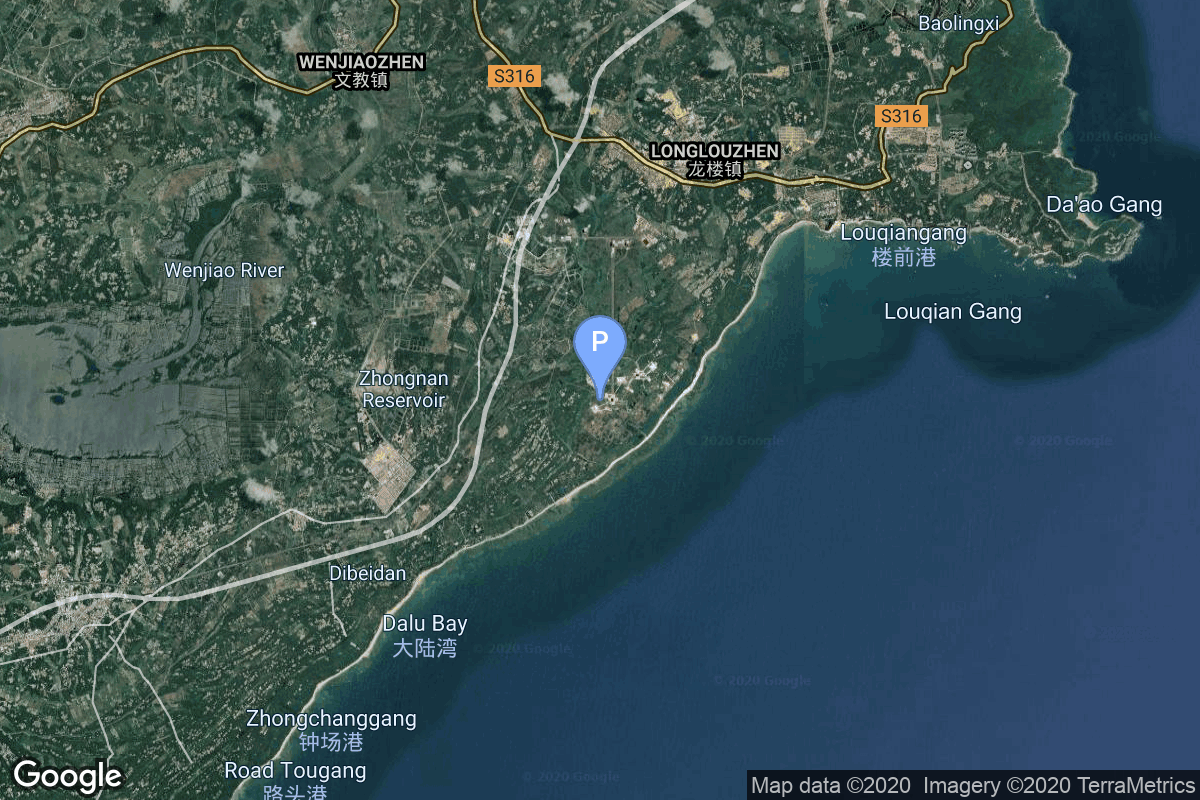
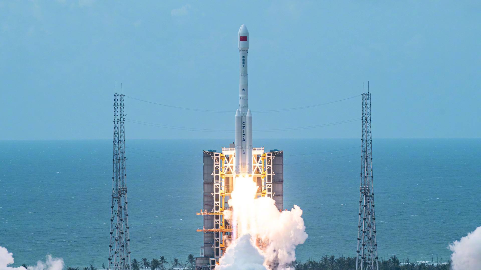
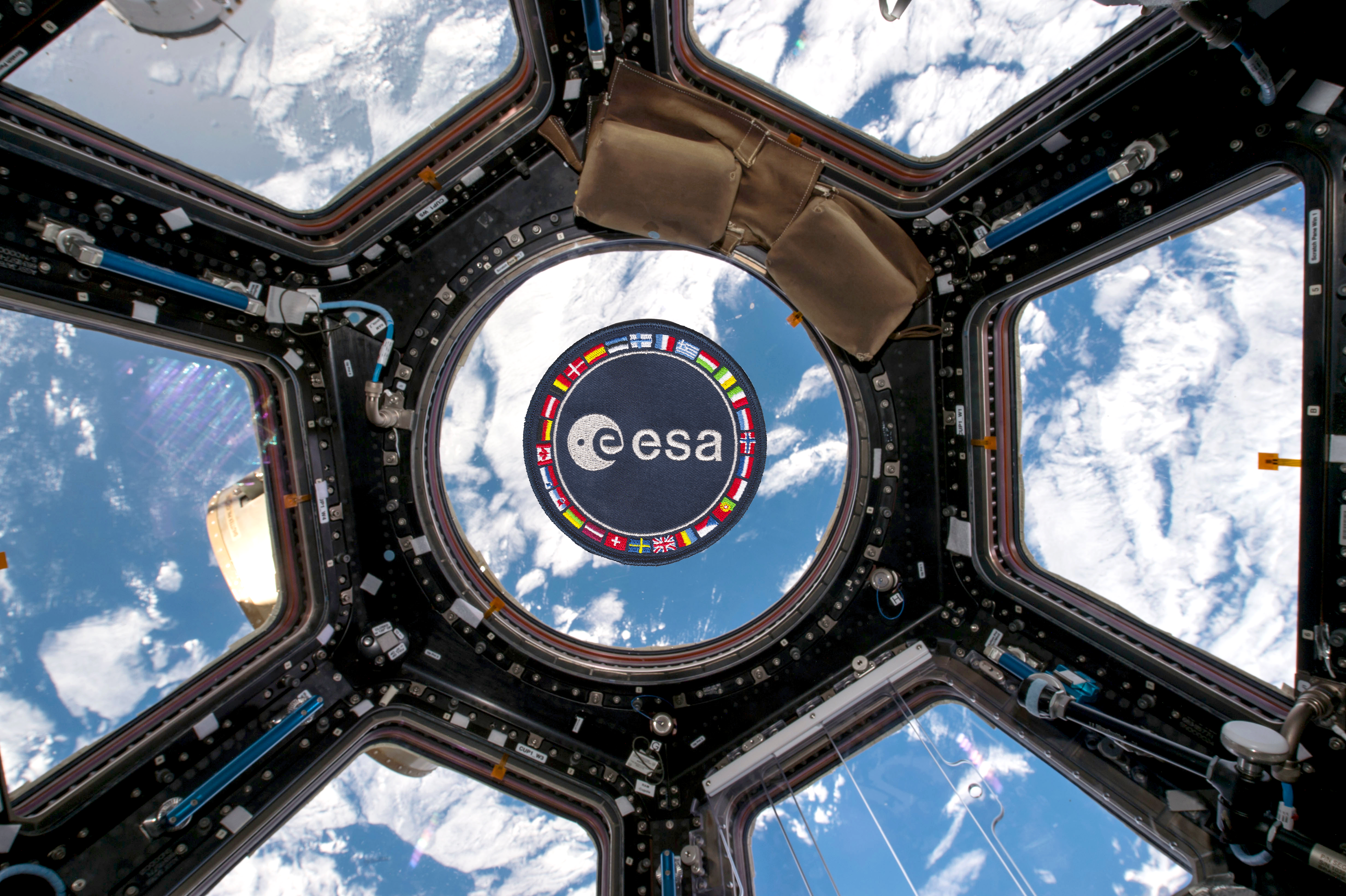
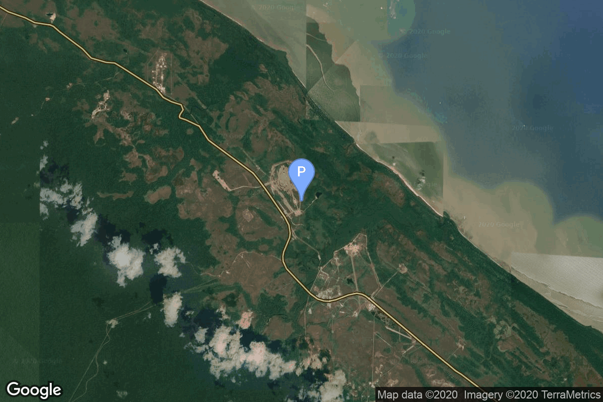
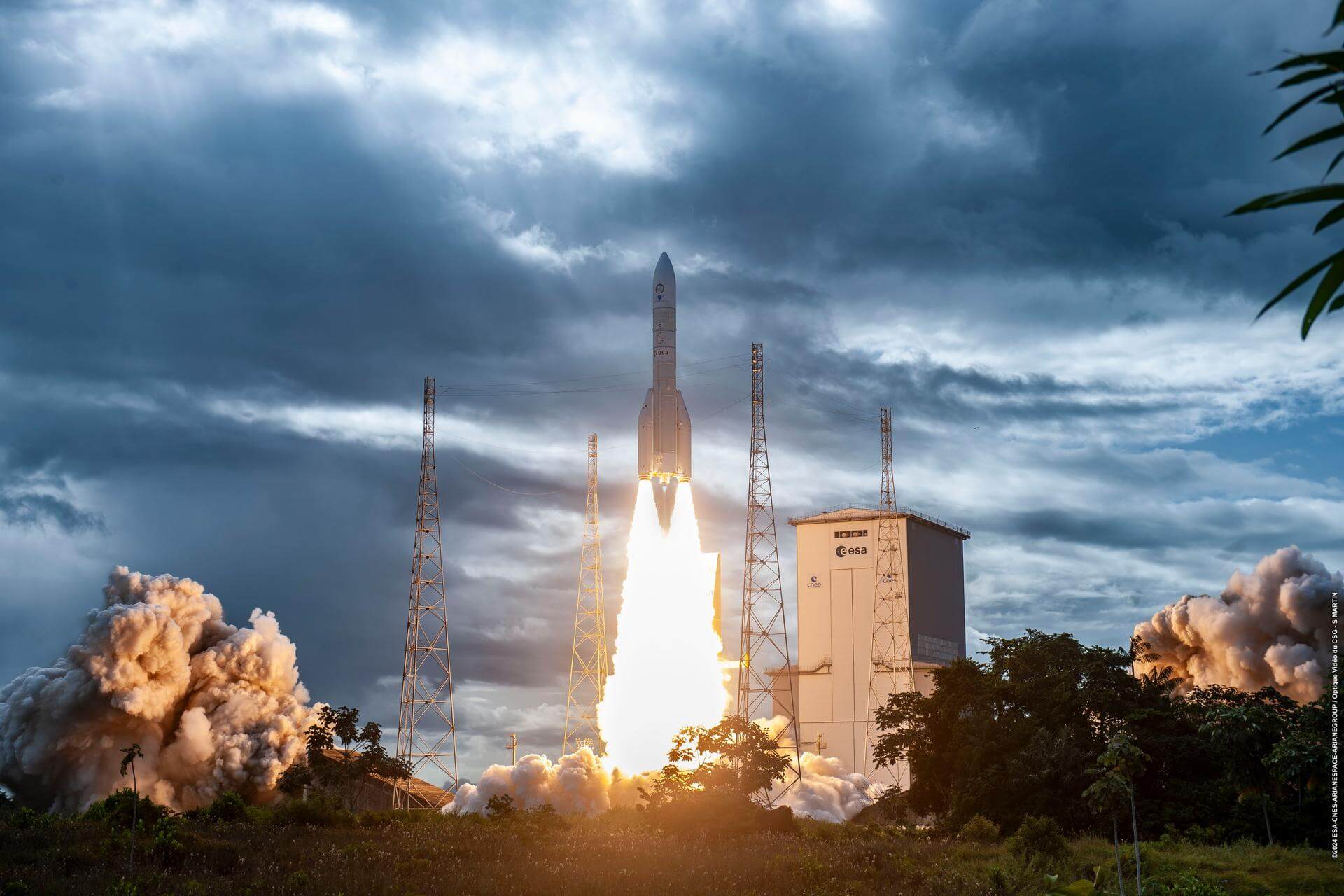
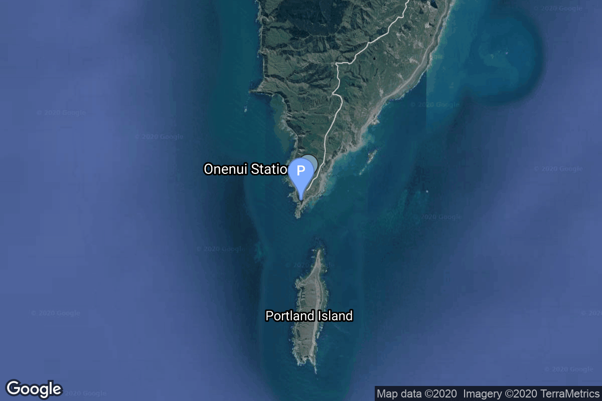
{ "count": 7744, "next": "https://ll.thespacedevs.com/2.2.0/launch/?format=api&limit=10&offset=7330&ordering=net", "previous": "https://ll.thespacedevs.com/2.2.0/launch/?format=api&limit=10&offset=7310&ordering=net", "results": [ { "id": "5fc609f3-4aee-4ffd-968d-b4cddcd9e381", "url": "https://ll.thespacedevs.com/2.2.0/launch/5fc609f3-4aee-4ffd-968d-b4cddcd9e381/?format=api", "slug": "long-march-7a-yaogan-46", "name": "Long March 7A | Yaogan 46", "status": { "id": 3, "name": "Launch Successful", "abbrev": "Success", "description": "The launch vehicle successfully inserted its payload(s) into the target orbit(s)." }, "last_updated": "2025-11-16T12:43:22Z", "net": "2025-11-03T03:47:00Z", "window_end": "2025-11-03T04:02:00Z", "window_start": "2025-11-03T03:39:00Z", "net_precision": { "id": 1, "name": "Minute", "abbrev": "MIN", "description": "The T-0 is accurate to the minute." }, "probability": null, "weather_concerns": null, "holdreason": "", "failreason": "", "hashtag": null, "launch_service_provider": { "id": 88, "url": "https://ll.thespacedevs.com/2.2.0/agencies/88/?format=api", "name": "China Aerospace Science and Technology Corporation", "type": "Government" }, "rocket": { "id": 8781, "configuration": { "id": 216, "url": "https://ll.thespacedevs.com/2.2.0/config/launcher/216/?format=api", "name": "Long March 7A", "family": "Long March", "full_name": "Long March 7A", "variant": "A" } }, "mission": { "id": 7372, "name": "Yaogan 46", "description": "Classified Earth observation satellite officially reported as for \"national resources/hydrology/meteorology surveying & disaster management\" purposes.", "launch_designator": null, "type": "Government/Top Secret", "orbit": { "id": 12, "name": "Medium Earth Orbit", "abbrev": "MEO" }, "agencies": [], "info_urls": [], "vid_urls": [] }, "pad": { "id": 176, "url": "https://ll.thespacedevs.com/2.2.0/pad/176/?format=api", "agency_id": null, "name": "201", "description": "", "info_url": null, "wiki_url": "https://en.wikipedia.org/wiki/Wenchang_Spacecraft_Launch_Site", "map_url": "https://www.google.com/maps?q=19.618452,110.955356", "latitude": "19.618452", "longitude": "110.955356", "location": { "id": 8, "url": "https://ll.thespacedevs.com/2.2.0/location/8/?format=api", "name": "Wenchang Space Launch Site, People's Republic of China", "country_code": "CHN", "description": "The Wenchang Space Launch Site is a rocket launch site located in Wenchang on the island of Hainan, in China.\r\n\r\nFormally a suborbital test center, it currently serves as China's southernmost spaceport. The site was selected for its low latitude, 19° north of the equator, allowing for larger payloads to be launched. It is capable of launching the Long March 5, the heaviest Chinese rocket. Unlike launch facilities on the mainland, Wenchang uses its seaport for deliveries.", "map_image": "https://thespacedevs-prod.nyc3.digitaloceanspaces.com/media/map_images/location_8_20200803142445.jpg", "timezone_name": "Asia/Shanghai", "total_launch_count": 54, "total_landing_count": 0 }, "country_code": "CHN", "map_image": "https://thespacedevs-prod.nyc3.digitaloceanspaces.com/media/map_images/pad_176_20200803143412.jpg", "total_launch_count": 27, "orbital_launch_attempt_count": 27 }, "webcast_live": false, "image": "https://thespacedevs-prod.nyc3.digitaloceanspaces.com/media/images/cz-7a_launch_2_image_20251206093324.jpeg", "infographic": null, "program": [], "orbital_launch_attempt_count": 7105, "location_launch_attempt_count": 48, "pad_launch_attempt_count": 26, "agency_launch_attempt_count": 552, "orbital_launch_attempt_count_year": 256, "location_launch_attempt_count_year": 14, "pad_launch_attempt_count_year": 6, "agency_launch_attempt_count_year": 51, "type": "normal" }, { "id": "7afcacb9-32aa-41ee-a000-0c7158f324c2", "url": "https://ll.thespacedevs.com/2.2.0/launch/7afcacb9-32aa-41ee-a000-0c7158f324c2/?format=api", "slug": "ariane-62-sentinel-1d", "name": "Ariane 62 | Sentinel-1D", "status": { "id": 3, "name": "Launch Successful", "abbrev": "Success", "description": "The launch vehicle successfully inserted its payload(s) into the target orbit(s)." }, "last_updated": "2025-11-06T06:25:27Z", "net": "2025-11-04T21:02:17Z", "window_end": "2025-11-04T21:02:17Z", "window_start": "2025-11-04T21:02:17Z", "net_precision": { "id": 0, "name": "Second", "abbrev": "SEC", "description": "The T-0 is accurate to the second." }, "probability": null, "weather_concerns": null, "holdreason": "", "failreason": "", "hashtag": null, "launch_service_provider": { "id": 115, "url": "https://ll.thespacedevs.com/2.2.0/agencies/115/?format=api", "name": "Arianespace", "type": "Commercial" }, "rocket": { "id": 7718, "configuration": { "id": 121, "url": "https://ll.thespacedevs.com/2.2.0/config/launcher/121/?format=api", "name": "Ariane 62", "family": "Ariane", "full_name": "Ariane 62", "variant": "62" } }, "mission": { "id": 6237, "name": "Sentinel-1D", "description": "Sentinel-1D carries an advanced radar technology to provide an all-weather, day-and-night supply of imagery of Earth’s surface as part of the Sentinel-1 constellation.", "launch_designator": null, "type": "Earth Science", "orbit": { "id": 17, "name": "Sun-Synchronous Orbit", "abbrev": "SSO" }, "agencies": [ { "id": 27, "url": "https://ll.thespacedevs.com/2.2.0/agencies/27/?format=api", "name": "European Space Agency", "featured": false, "type": "Multinational", "country_code": "FRA,ITA,DEU,ESP,CHE,GBR,AUT,SWE,PRT,NLD,HUN,POL,DNK,CZE,ROU,NOR,FIN,GRC,EST,IRL,LUX,BEL,SVN", "abbrev": "ESA", "description": "The European Space Agency is an intergovernmental organisation of 22 member states. Established in 1975 and headquartered in Paris, France, ESA has a worldwide staff of about 2,000 employees.\r\n\r\nESA's space flight programme includes human spaceflight (mainly through participation in the International Space Station program); the launch and operation of unmanned exploration missions to other planets and the Moon; Earth observation, science and telecommunication; designing launch vehicles; and maintaining a major spaceport, the Guiana Space Centre at Kourou, French Guiana.", "administrator": "Director General: Josef Aschbacher", "founding_year": "1975", "launchers": "Ariane | Vega", "spacecraft": "Space Rider", "launch_library_url": null, "total_launch_count": 7, "consecutive_successful_launches": 5, "successful_launches": 6, "failed_launches": 1, "pending_launches": 1, "consecutive_successful_landings": 0, "successful_landings": 0, "failed_landings": 0, "attempted_landings": 0, "info_url": "https://www.esa.int/", "wiki_url": "https://en.wikipedia.org/wiki/European_Space_Agency", "logo_url": "https://thespacedevs-prod.nyc3.digitaloceanspaces.com/media/images/european2520space2520agency_logo_20221130101442.png", "image_url": "https://thespacedevs-prod.nyc3.digitaloceanspaces.com/media/images/esa_patch_float_image_20250211192109.png", "nation_url": "https://thespacedevs-prod.nyc3.digitaloceanspaces.com/media/images/european2520space2520agency_logo_20221130101442.png" } ], "info_urls": [], "vid_urls": [] }, "pad": { "id": 67, "url": "https://ll.thespacedevs.com/2.2.0/pad/67/?format=api", "agency_id": 115, "name": "Ariane Launch Area 4", "description": "ELA-4, is a launch pad and associated facilities at the Centre Spatial Guyanais in French Guiana. The complex is composed of a launch pad with mobile gantry, an horizontal assembly building and a dedicated launch operations building. ELA-4 is operated by Arianespace as part of the Ariane 6 program.", "info_url": null, "wiki_url": "https://en.wikipedia.org/wiki/Guiana_Space_Centre", "map_url": "https://www.google.com/maps?q=5.256319,-52.786838", "latitude": "5.256319", "longitude": "-52.786838", "location": { "id": 13, "url": "https://ll.thespacedevs.com/2.2.0/location/13/?format=api", "name": "Guiana Space Centre, French Guiana", "country_code": "GUF", "description": "The Guiana Space Centre is a European spaceport to the northwest of Kourou in French Guiana, a region of France in South America. Kourou is located at a latitude of 5°. In operation since 1968, it is a suitable location for a spaceport because of its equatorial location and open sea to the east.", "map_image": "https://thespacedevs-prod.nyc3.digitaloceanspaces.com/media/map_images/location_13_20200803142412.jpg", "timezone_name": "America/Cayenne", "total_launch_count": 330, "total_landing_count": 0 }, "country_code": "GUF", "map_image": "https://thespacedevs-prod.nyc3.digitaloceanspaces.com/media/map_images/pad_67_20200803143559.jpg", "total_launch_count": 5, "orbital_launch_attempt_count": 5 }, "webcast_live": false, "image": "https://thespacedevs-prod.nyc3.digitaloceanspaces.com/media/images/ariane_62_lifto_image_20240711132056.jpeg", "infographic": null, "program": [ { "id": 22, "url": "https://ll.thespacedevs.com/2.2.0/program/22/?format=api", "name": "Copernicus", "description": "Copernicus is the European Union's Earth observation programme coordinated and managed for the European Commission by the European Union Agency for the Space Programme in partnership with the European Space Agency (ESA), the EU Member States. It aims at achieving a global, continuous, autonomous, high quality, wide range Earth observation capacity. Providing accurate, timely and easily accessible information to, among other things, improve the management of the environment, understand and mitigate the effects of climate change, and ensure civil security.", "agencies": [ { "id": 27, "url": "https://ll.thespacedevs.com/2.2.0/agencies/27/?format=api", "name": "European Space Agency", "type": "Multinational" }, { "id": 1043, "url": "https://ll.thespacedevs.com/2.2.0/agencies/1043/?format=api", "name": "European Union Agency for the Space Programme", "type": "Multinational" } ], "image_url": "https://thespacedevs-prod.nyc3.digitaloceanspaces.com/media/images/copernicus_program_20221129162831.png", "start_date": "2014-04-03T00:00:00Z", "end_date": null, "info_url": "https://www.copernicus.eu", "wiki_url": "https://en.wikipedia.org/wiki/Copernicus_Programme", "mission_patches": [], "type": { "id": 8, "name": "Earth Observation" } } ], "orbital_launch_attempt_count": 7106, "location_launch_attempt_count": 328, "pad_launch_attempt_count": 4, "agency_launch_attempt_count": 322, "orbital_launch_attempt_count_year": 257, "location_launch_attempt_count_year": 5, "pad_launch_attempt_count_year": 3, "agency_launch_attempt_count_year": 5, "type": "normal" }, { "id": "5d816773-89cb-48b9-9bf0-a9c4d8236785", "url": "https://ll.thespacedevs.com/2.2.0/launch/5d816773-89cb-48b9-9bf0-a9c4d8236785/?format=api", "slug": "electron-the-nation-god-navigates-iqps-launch-5", "name": "Electron | The Nation God Navigates (iQPS Launch 5)", "status": { "id": 3, "name": "Launch Successful", "abbrev": "Success", "description": "The launch vehicle successfully inserted its payload(s) into the target orbit(s)." }, "last_updated": "2025-11-06T07:27:25Z", "net": "2025-11-05T19:51:00Z", "window_end": "2025-11-05T19:51:00Z", "window_start": "2025-11-05T19:51:00Z", "net_precision": { "id": 1, "name": "Minute", "abbrev": "MIN", "description": "The T-0 is accurate to the minute." }, "probability": null, "weather_concerns": null, "holdreason": "", "failreason": "", "hashtag": null, "launch_service_provider": { "id": 147, "url": "https://ll.thespacedevs.com/2.2.0/agencies/147/?format=api", "name": "Rocket Lab", "type": "Commercial" }, "rocket": { "id": 8544, "configuration": { "id": 26, "url": "https://ll.thespacedevs.com/2.2.0/config/launcher/26/?format=api", "name": "Electron", "family": "", "full_name": "Electron", "variant": "" } }, "mission": { "id": 7135, "name": "The Nation God Navigates (iQPS Launch 5)", "description": "Synthetic aperture radar Earth observation satellite for Japanese Earth imaging company iQPS.", "launch_designator": null, "type": "Earth Science", "orbit": { "id": 8, "name": "Low Earth Orbit", "abbrev": "LEO" }, "agencies": [], "info_urls": [], "vid_urls": [] }, "pad": { "id": 185, "url": "https://ll.thespacedevs.com/2.2.0/pad/185/?format=api", "agency_id": 147, "name": "Rocket Lab Launch Complex 1B", "description": "", "info_url": null, "wiki_url": "https://en.wikipedia.org/wiki/Rocket_Lab_Launch_Complex_1", "map_url": "https://www.google.com/maps?q=-39.262833,177.864469", "latitude": "-39.262833", "longitude": "177.864469", "location": { "id": 10, "url": "https://ll.thespacedevs.com/2.2.0/location/10/?format=api", "name": "Rocket Lab Launch Complex 1, Mahia Peninsula, New Zealand", "country_code": "NZL", "description": "Rocket Lab Launch Complex 1 is a commercial spaceport located close to Ahuriri Point at the southern tip of Māhia Peninsula, on the east coast of New Zealand's North Island. It is owned and operated by private spaceflight company Rocket Lab and supports launches of the company's Electron rocket for small satellites. With the launch of Electron on 25 May 2017, it became the first private spaceport to host an orbital launch attempt, and the first site in New Zealand to host an orbital launch attempt. With the Electron launch of 21 January 2018, it became the first private spaceport to host a successful orbital launch.", "map_image": "https://thespacedevs-prod.nyc3.digitaloceanspaces.com/media/map_images/location_10_20200803142509.jpg", "timezone_name": "Pacific/Auckland", "total_launch_count": 69, "total_landing_count": 17 }, "country_code": "NZL", "map_image": "https://thespacedevs-prod.nyc3.digitaloceanspaces.com/media/map_images/pad_185_20200803143540.jpg", "total_launch_count": 34, "orbital_launch_attempt_count": 34 }, "webcast_live": false, "image": "https://thespacedevs-prod.nyc3.digitaloceanspaces.com/media/images/electron_image_20190705175640.jpeg", "infographic": null, "program": [], "orbital_launch_attempt_count": 7107, "location_launch_attempt_count": 66, "pad_launch_attempt_count": 32, "agency_launch_attempt_count": 74, "orbital_launch_attempt_count_year": 258, "location_launch_attempt_count_year": 14, "pad_launch_attempt_count_year": 7, "agency_launch_attempt_count_year": 16, "type": "normal" }, { "id": "9dd2d2b7-302b-4e9e-804c-aa176f606b6f", "url": "https://ll.thespacedevs.com/2.2.0/launch/9dd2d2b7-302b-4e9e-804c-aa176f606b6f/?format=api", "slug": "falcon-9-block-5-starlink-group-6-81", "name": "Falcon 9 Block 5 | Starlink Group 6-81", "status": { "id": 3, "name": "Launch Successful", "abbrev": "Success", "description": "The launch vehicle successfully inserted its payload(s) into the target orbit(s)." }, "last_updated": "2025-11-06T08:28:52Z", "net": "2025-11-06T01:31:10Z", "window_end": "2025-11-06T03:08:00Z", "window_start": "2025-11-05T23:08:00Z", "net_precision": { "id": 0, "name": "Second", "abbrev": "SEC", "description": "The T-0 is accurate to the second." }, "probability": 99, "weather_concerns": null, "holdreason": "", "failreason": "", "hashtag": null, "launch_service_provider": { "id": 121, "url": "https://ll.thespacedevs.com/2.2.0/agencies/121/?format=api", "name": "SpaceX", "type": "Commercial" }, "rocket": { "id": 8780, "configuration": { "id": 164, "url": "https://ll.thespacedevs.com/2.2.0/config/launcher/164/?format=api", "name": "Falcon 9", "family": "Falcon", "full_name": "Falcon 9 Block 5", "variant": "Block 5" } }, "mission": { "id": 7371, "name": "Starlink Group 6-81", "description": "A batch of 29 satellites for the Starlink mega-constellation - SpaceX's project for space-based Internet communication system.", "launch_designator": null, "type": "Communications", "orbit": { "id": 8, "name": "Low Earth Orbit", "abbrev": "LEO" }, "agencies": [ { "id": 121, "url": "https://ll.thespacedevs.com/2.2.0/agencies/121/?format=api", "name": "SpaceX", "featured": true, "type": "Commercial", "country_code": "USA", "abbrev": "SpX", "description": "Space Exploration Technologies Corp., known as SpaceX, is an American aerospace manufacturer and space transport services company headquartered in Hawthorne, California. It was founded in 2002 by entrepreneur Elon Musk with the goal of reducing space transportation costs and enabling the colonization of Mars. SpaceX operates from many pads, on the East Coast of the US they operate from SLC-40 at Cape Canaveral Space Force Station and historic LC-39A at Kennedy Space Center. They also operate from SLC-4E at Vandenberg Space Force Base, California, usually for polar launches. Another launch site is being developed at Boca Chica, Texas.", "administrator": "CEO: Elon Musk", "founding_year": "2002", "launchers": "Falcon | Starship", "spacecraft": "Dragon", "launch_library_url": null, "total_launch_count": 619, "consecutive_successful_launches": 104, "successful_launches": 604, "failed_launches": 15, "pending_launches": 115, "consecutive_successful_landings": 103, "successful_landings": 564, "failed_landings": 27, "attempted_landings": 590, "info_url": "https://www.spacex.com/", "wiki_url": "https://en.wikipedia.org/wiki/SpaceX", "logo_url": "https://thespacedevs-prod.nyc3.digitaloceanspaces.com/media/images/spacex_logo_20220826094919.png", "image_url": "https://thespacedevs-prod.nyc3.digitaloceanspaces.com/media/images/spacex_image_20190207032501.jpeg", "nation_url": "https://thespacedevs-prod.nyc3.digitaloceanspaces.com/media/images/spacex_nation_20230531064544.jpg" } ], "info_urls": [], "vid_urls": [] }, "pad": { "id": 80, "url": "https://ll.thespacedevs.com/2.2.0/pad/80/?format=api", "agency_id": 121, "name": "Space Launch Complex 40", "description": "", "info_url": null, "wiki_url": "https://en.wikipedia.org/wiki/Cape_Canaveral_Air_Force_Station_Space_Launch_Complex_40", "map_url": "https://www.google.com/maps?q=28.56194122,-80.57735736", "latitude": "28.56194122", "longitude": "-80.57735736", "location": { "id": 12, "url": "https://ll.thespacedevs.com/2.2.0/location/12/?format=api", "name": "Cape Canaveral SFS, FL, USA", "country_code": "USA", "description": "Cape Canaveral Space Force Station (CCSFS) is an installation of the United States Space Force's Space Launch Delta 45, located on Cape Canaveral in Brevard County, Florida.", "map_image": "https://thespacedevs-prod.nyc3.digitaloceanspaces.com/media/map_images/location_12_20200803142519.jpg", "timezone_name": "America/New_York", "total_launch_count": 1076, "total_landing_count": 70 }, "country_code": "USA", "map_image": "https://thespacedevs-prod.nyc3.digitaloceanspaces.com/media/map_images/pad_80_20200803143323.jpg", "total_launch_count": 354, "orbital_launch_attempt_count": 354 }, "webcast_live": false, "image": "https://thespacedevs-prod.nyc3.digitaloceanspaces.com/media/images/falcon2520925_image_20221009234147.png", "infographic": null, "program": [ { "id": 25, "url": "https://ll.thespacedevs.com/2.2.0/program/25/?format=api", "name": "Starlink", "description": "Starlink is a satellite internet constellation operated by American aerospace company SpaceX", "agencies": [ { "id": 121, "url": "https://ll.thespacedevs.com/2.2.0/agencies/121/?format=api", "name": "SpaceX", "type": "Commercial" } ], "image_url": "https://thespacedevs-prod.nyc3.digitaloceanspaces.com/media/images/starlink_program_20231228154508.jpeg", "start_date": "2018-02-22T14:17:00Z", "end_date": null, "info_url": "https://starlink.com", "wiki_url": "https://en.wikipedia.org/wiki/Starlink", "mission_patches": [ { "id": 7, "name": "Space X Starlink Mission Patch", "priority": 10, "image_url": "https://thespacedevs-prod.nyc3.digitaloceanspaces.com/media/mission_patch_images/space2520x252_mission_patch_20221011205756.png", "agency": { "id": 121, "url": "https://ll.thespacedevs.com/2.2.0/agencies/121/?format=api", "name": "SpaceX", "type": "Commercial" } } ], "type": { "id": 3, "name": "Communication Constellation" } } ], "orbital_launch_attempt_count": 7108, "location_launch_attempt_count": 1065, "pad_launch_attempt_count": 346, "agency_launch_attempt_count": 595, "orbital_launch_attempt_count_year": 259, "location_launch_attempt_count_year": 71, "pad_launch_attempt_count_year": 66, "agency_launch_attempt_count_year": 146, "type": "normal" }, { "id": "6602c88f-cbff-4495-b417-a184ddb0a426", "url": "https://ll.thespacedevs.com/2.2.0/launch/6602c88f-cbff-4495-b417-a184ddb0a426/?format=api", "slug": "falcon-9-block-5-starlink-group-11-14", "name": "Falcon 9 Block 5 | Starlink Group 11-14", "status": { "id": 3, "name": "Launch Successful", "abbrev": "Success", "description": "The launch vehicle successfully inserted its payload(s) into the target orbit(s)." }, "last_updated": "2025-11-07T03:05:58Z", "net": "2025-11-06T21:13:50Z", "window_end": "2025-11-07T00:56:00Z", "window_start": "2025-11-06T20:56:00Z", "net_precision": { "id": 0, "name": "Second", "abbrev": "SEC", "description": "The T-0 is accurate to the second." }, "probability": null, "weather_concerns": null, "holdreason": "", "failreason": "", "hashtag": null, "launch_service_provider": { "id": 121, "url": "https://ll.thespacedevs.com/2.2.0/agencies/121/?format=api", "name": "SpaceX", "type": "Commercial" }, "rocket": { "id": 8779, "configuration": { "id": 164, "url": "https://ll.thespacedevs.com/2.2.0/config/launcher/164/?format=api", "name": "Falcon 9", "family": "Falcon", "full_name": "Falcon 9 Block 5", "variant": "Block 5" } }, "mission": { "id": 7370, "name": "Starlink Group 11-14", "description": "A batch of 28 satellites for the Starlink mega-constellation - SpaceX's project for space-based Internet communication system.", "launch_designator": null, "type": "Communications", "orbit": { "id": 8, "name": "Low Earth Orbit", "abbrev": "LEO" }, "agencies": [ { "id": 121, "url": "https://ll.thespacedevs.com/2.2.0/agencies/121/?format=api", "name": "SpaceX", "featured": true, "type": "Commercial", "country_code": "USA", "abbrev": "SpX", "description": "Space Exploration Technologies Corp., known as SpaceX, is an American aerospace manufacturer and space transport services company headquartered in Hawthorne, California. It was founded in 2002 by entrepreneur Elon Musk with the goal of reducing space transportation costs and enabling the colonization of Mars. SpaceX operates from many pads, on the East Coast of the US they operate from SLC-40 at Cape Canaveral Space Force Station and historic LC-39A at Kennedy Space Center. They also operate from SLC-4E at Vandenberg Space Force Base, California, usually for polar launches. Another launch site is being developed at Boca Chica, Texas.", "administrator": "CEO: Elon Musk", "founding_year": "2002", "launchers": "Falcon | Starship", "spacecraft": "Dragon", "launch_library_url": null, "total_launch_count": 619, "consecutive_successful_launches": 104, "successful_launches": 604, "failed_launches": 15, "pending_launches": 115, "consecutive_successful_landings": 103, "successful_landings": 564, "failed_landings": 27, "attempted_landings": 590, "info_url": "https://www.spacex.com/", "wiki_url": "https://en.wikipedia.org/wiki/SpaceX", "logo_url": "https://thespacedevs-prod.nyc3.digitaloceanspaces.com/media/images/spacex_logo_20220826094919.png", "image_url": "https://thespacedevs-prod.nyc3.digitaloceanspaces.com/media/images/spacex_image_20190207032501.jpeg", "nation_url": "https://thespacedevs-prod.nyc3.digitaloceanspaces.com/media/images/spacex_nation_20230531064544.jpg" } ], "info_urls": [], "vid_urls": [] }, "pad": { "id": 16, "url": "https://ll.thespacedevs.com/2.2.0/pad/16/?format=api", "agency_id": null, "name": "Space Launch Complex 4E", "description": "Space Launch Complex 4 East (SLC-4E) is a launch site at Vandenberg Space Force Base, California, U.S.\r\n\r\nThe pad was previously used by Atlas and Titan rockets between 1963 and 2005. The pad was built for use by Atlas-Agena rockets, but was later rebuilt to handle Titan rockets.", "info_url": null, "wiki_url": "https://en.wikipedia.org/wiki/Vandenberg_Space_Launch_Complex_4#SLC-4E", "map_url": "https://www.google.com/maps?q=34.632,-120.611", "latitude": "34.632", "longitude": "-120.611", "location": { "id": 11, "url": "https://ll.thespacedevs.com/2.2.0/location/11/?format=api", "name": "Vandenberg SFB, CA, USA", "country_code": "USA", "description": "Vandenberg Space Force Base is a United States Space Force Base in Santa Barbara County, California. Established in 1941, Vandenberg Space Force Base is a space launch base, launching spacecraft from the Western Range, and also performs missile testing. The United States Space Force's Space Launch Delta 30 serves as the host delta for the base, equivalent to an Air Force air base wing. In addition to its military space launch mission, Vandenberg Space Force Base also hosts space launches for civil and commercial space entities, such as NASA and SpaceX.", "map_image": "https://thespacedevs-prod.nyc3.digitaloceanspaces.com/media/map_images/location_11_20200803142416.jpg", "timezone_name": "America/Los_Angeles", "total_launch_count": 852, "total_landing_count": 30 }, "country_code": "USA", "map_image": "https://thespacedevs-prod.nyc3.digitaloceanspaces.com/media/map_images/pad_16_20200803143532.jpg", "total_launch_count": 238, "orbital_launch_attempt_count": 238 }, "webcast_live": false, "image": "https://thespacedevs-prod.nyc3.digitaloceanspaces.com/media/images/falcon2520925_image_20221009234147.png", "infographic": null, "program": [ { "id": 25, "url": "https://ll.thespacedevs.com/2.2.0/program/25/?format=api", "name": "Starlink", "description": "Starlink is a satellite internet constellation operated by American aerospace company SpaceX", "agencies": [ { "id": 121, "url": "https://ll.thespacedevs.com/2.2.0/agencies/121/?format=api", "name": "SpaceX", "type": "Commercial" } ], "image_url": "https://thespacedevs-prod.nyc3.digitaloceanspaces.com/media/images/starlink_program_20231228154508.jpeg", "start_date": "2018-02-22T14:17:00Z", "end_date": null, "info_url": "https://starlink.com", "wiki_url": "https://en.wikipedia.org/wiki/Starlink", "mission_patches": [ { "id": 7, "name": "Space X Starlink Mission Patch", "priority": 10, "image_url": "https://thespacedevs-prod.nyc3.digitaloceanspaces.com/media/mission_patch_images/space2520x252_mission_patch_20221011205756.png", "agency": { "id": 121, "url": "https://ll.thespacedevs.com/2.2.0/agencies/121/?format=api", "name": "SpaceX", "type": "Commercial" } } ], "type": { "id": 3, "name": "Communication Constellation" } } ], "orbital_launch_attempt_count": 7109, "location_launch_attempt_count": 843, "pad_launch_attempt_count": 229, "agency_launch_attempt_count": 596, "orbital_launch_attempt_count_year": 260, "location_launch_attempt_count_year": 57, "pad_launch_attempt_count_year": 55, "agency_launch_attempt_count_year": 147, "type": "normal" }, { "id": "6232fdd6-872e-4146-aae9-4f3cca740512", "url": "https://ll.thespacedevs.com/2.2.0/launch/6232fdd6-872e-4146-aae9-4f3cca740512/?format=api", "slug": "long-march-11-shiyan-32-01-03", "name": "Long March 11 | Shiyan 32 01-03", "status": { "id": 3, "name": "Launch Successful", "abbrev": "Success", "description": "The launch vehicle successfully inserted its payload(s) into the target orbit(s)." }, "last_updated": "2025-11-16T11:55:34Z", "net": "2025-11-08T21:01:00Z", "window_end": "2025-11-08T21:12:00Z", "window_start": "2025-11-08T20:51:00Z", "net_precision": { "id": 1, "name": "Minute", "abbrev": "MIN", "description": "The T-0 is accurate to the minute." }, "probability": null, "weather_concerns": null, "holdreason": "", "failreason": "", "hashtag": null, "launch_service_provider": { "id": 88, "url": "https://ll.thespacedevs.com/2.2.0/agencies/88/?format=api", "name": "China Aerospace Science and Technology Corporation", "type": "Government" }, "rocket": { "id": 8790, "configuration": { "id": 47, "url": "https://ll.thespacedevs.com/2.2.0/config/launcher/47/?format=api", "name": "Long March 11", "family": "Long March", "full_name": "Long March 11", "variant": "" } }, "mission": { "id": 7381, "name": "Shiyan 32 01-03", "description": "3 Chinese satellites reported to be for \"orbital technological testing\" purposes. Actual usage not known.", "launch_designator": null, "type": "Government/Top Secret", "orbit": { "id": 8, "name": "Low Earth Orbit", "abbrev": "LEO" }, "agencies": [], "info_urls": [], "vid_urls": [] }, "pad": { "id": 221, "url": "https://ll.thespacedevs.com/2.2.0/pad/221/?format=api", "agency_id": 88, "name": "Oriental Spaceport mobile launch ship", "description": "", "info_url": null, "wiki_url": null, "map_url": "https://www.google.com/maps?q=35.391667%2C119.598667", "latitude": "35.391667", "longitude": "119.598667", "location": { "id": 185, "url": "https://ll.thespacedevs.com/2.2.0/location/185/?format=api", "name": "Haiyang Oriental Spaceport", "country_code": "CHN", "description": "Chinese orbital launch vehicle launches supporting sea port located at Haiyang, Shandong Province, with dedicated piers and rocket/payload processing facilities for Chinese launch vehicles’ sea launches, and (as part of its expansion project) land based launch pads on artificial islands for various test vehicles and launch vehicles of private and government launch services providers.\r\n\r\nIn operation as a remote base of Taiyuan Satellite Launch Center since 2019.", "map_image": "https://thespacedevs-prod.nyc3.digitaloceanspaces.com/media/map_images/location_haiyang_oriental_spaceport_20251128181322.jpg", "timezone_name": "Asia/Shanghai", "total_launch_count": 21, "total_landing_count": 0 }, "country_code": "CHN", "map_image": "https://thespacedevs-prod.nyc3.digitaloceanspaces.com/media/map_images/pad_oriental_spaceport_mobile_launch_ship_20240529085416.jpg", "total_launch_count": 7, "orbital_launch_attempt_count": 7 }, "webcast_live": false, "image": "https://thespacedevs-prod.nyc3.digitaloceanspaces.com/media/images/long2520march252011_image_20190222031217.jpeg", "infographic": null, "program": [], "orbital_launch_attempt_count": 7110, "location_launch_attempt_count": 21, "pad_launch_attempt_count": 7, "agency_launch_attempt_count": 553, "orbital_launch_attempt_count_year": 261, "location_launch_attempt_count_year": 7, "pad_launch_attempt_count_year": 5, "agency_launch_attempt_count_year": 52, "type": "normal" }, { "id": "316a5a1d-0c96-417a-acb6-b333b2b7c64c", "url": "https://ll.thespacedevs.com/2.2.0/launch/316a5a1d-0c96-417a-acb6-b333b2b7c64c/?format=api", "slug": "kinetica-1-chutian-2-01-02", "name": "Kinetica 1 | Chutian-2 01 & 02", "status": { "id": 3, "name": "Launch Successful", "abbrev": "Success", "description": "The launch vehicle successfully inserted its payload(s) into the target orbit(s)." }, "last_updated": "2025-11-09T06:45:59Z", "net": "2025-11-09T03:32:00Z", "window_end": "2025-11-09T03:50:00Z", "window_start": "2025-11-09T03:23:00Z", "net_precision": { "id": 1, "name": "Minute", "abbrev": "MIN", "description": "The T-0 is accurate to the minute." }, "probability": null, "weather_concerns": null, "holdreason": "", "failreason": "", "hashtag": null, "launch_service_provider": { "id": 1040, "url": "https://ll.thespacedevs.com/2.2.0/agencies/1040/?format=api", "name": "CAS Space", "type": "Commercial" }, "rocket": { "id": 8788, "configuration": { "id": 483, "url": "https://ll.thespacedevs.com/2.2.0/config/launcher/483/?format=api", "name": "Kinetica 1", "family": "", "full_name": "Kinetica 1", "variant": "" } }, "mission": { "id": 7379, "name": "Chutian-2 01 & 02", "description": "2 satellites built by the China Aerospace Science and Industry Corporation (CASIC) for testing operations of Very Low Earth Orbit (VLEO) satellites for Earth observation purposes.", "launch_designator": null, "type": "Earth Science", "orbit": { "id": 17, "name": "Sun-Synchronous Orbit", "abbrev": "SSO" }, "agencies": [], "info_urls": [], "vid_urls": [] }, "pad": { "id": 151, "url": "https://ll.thespacedevs.com/2.2.0/pad/151/?format=api", "agency_id": null, "name": "Launch Area 130", "description": "", "info_url": null, "wiki_url": "https://en.wikipedia.org/wiki/Jiuquan_Satellite_Launch_Center", "map_url": "https://www.google.com/maps?q=40.8182,100.22514", "latitude": "40.8182", "longitude": "100.22514", "location": { "id": 17, "url": "https://ll.thespacedevs.com/2.2.0/location/17/?format=api", "name": "Jiuquan Satellite Launch Center, People's Republic of China", "country_code": "CHN", "description": "Jiuquan Satellite Launch Center is a Chinese spaceport located between the Ejin, Alxa, Inner Mongolia and Hangtian Town, Jinta County, Jiuquan, Gansu Province. It is part of the Dongfeng Aerospace City (Base 10).", "map_image": "https://thespacedevs-prod.nyc3.digitaloceanspaces.com/media/map_images/location_17_20200803142429.jpg", "timezone_name": "Asia/Shanghai", "total_launch_count": 272, "total_landing_count": 2 }, "country_code": "CHN", "map_image": "https://thespacedevs-prod.nyc3.digitaloceanspaces.com/media/map_images/pad_151_20200803143425.jpg", "total_launch_count": 11, "orbital_launch_attempt_count": 11 }, "webcast_live": false, "image": "https://thespacedevs-prod.nyc3.digitaloceanspaces.com/media/images/zhongke-1a_image_20220912002218.png", "infographic": null, "program": [], "orbital_launch_attempt_count": 7111, "location_launch_attempt_count": 263, "pad_launch_attempt_count": 10, "agency_launch_attempt_count": 10, "orbital_launch_attempt_count_year": 262, "location_launch_attempt_count_year": 24, "pad_launch_attempt_count_year": 4, "agency_launch_attempt_count_year": 4, "type": "normal" }, { "id": "29e88f09-8897-4014-afa0-087ca70de9bd", "url": "https://ll.thespacedevs.com/2.2.0/launch/29e88f09-8897-4014-afa0-087ca70de9bd/?format=api", "slug": "falcon-9-block-5-starlink-group-10-51", "name": "Falcon 9 Block 5 | Starlink Group 10-51", "status": { "id": 3, "name": "Launch Successful", "abbrev": "Success", "description": "The launch vehicle successfully inserted its payload(s) into the target orbit(s)." }, "last_updated": "2025-11-10T05:32:48Z", "net": "2025-11-09T08:10:10Z", "window_end": "2025-11-09T12:10:00Z", "window_start": "2025-11-09T08:10:00Z", "net_precision": { "id": 0, "name": "Second", "abbrev": "SEC", "description": "The T-0 is accurate to the second." }, "probability": null, "weather_concerns": null, "holdreason": "", "failreason": "", "hashtag": null, "launch_service_provider": { "id": 121, "url": "https://ll.thespacedevs.com/2.2.0/agencies/121/?format=api", "name": "SpaceX", "type": "Commercial" }, "rocket": { "id": 8782, "configuration": { "id": 164, "url": "https://ll.thespacedevs.com/2.2.0/config/launcher/164/?format=api", "name": "Falcon 9", "family": "Falcon", "full_name": "Falcon 9 Block 5", "variant": "Block 5" } }, "mission": { "id": 7373, "name": "Starlink Group 10-51", "description": "A batch of 29 satellites for the Starlink mega-constellation - SpaceX's project for space-based Internet communication system.", "launch_designator": null, "type": "Communications", "orbit": { "id": 8, "name": "Low Earth Orbit", "abbrev": "LEO" }, "agencies": [ { "id": 121, "url": "https://ll.thespacedevs.com/2.2.0/agencies/121/?format=api", "name": "SpaceX", "featured": true, "type": "Commercial", "country_code": "USA", "abbrev": "SpX", "description": "Space Exploration Technologies Corp., known as SpaceX, is an American aerospace manufacturer and space transport services company headquartered in Hawthorne, California. It was founded in 2002 by entrepreneur Elon Musk with the goal of reducing space transportation costs and enabling the colonization of Mars. SpaceX operates from many pads, on the East Coast of the US they operate from SLC-40 at Cape Canaveral Space Force Station and historic LC-39A at Kennedy Space Center. They also operate from SLC-4E at Vandenberg Space Force Base, California, usually for polar launches. Another launch site is being developed at Boca Chica, Texas.", "administrator": "CEO: Elon Musk", "founding_year": "2002", "launchers": "Falcon | Starship", "spacecraft": "Dragon", "launch_library_url": null, "total_launch_count": 619, "consecutive_successful_launches": 104, "successful_launches": 604, "failed_launches": 15, "pending_launches": 115, "consecutive_successful_landings": 103, "successful_landings": 564, "failed_landings": 27, "attempted_landings": 590, "info_url": "https://www.spacex.com/", "wiki_url": "https://en.wikipedia.org/wiki/SpaceX", "logo_url": "https://thespacedevs-prod.nyc3.digitaloceanspaces.com/media/images/spacex_logo_20220826094919.png", "image_url": "https://thespacedevs-prod.nyc3.digitaloceanspaces.com/media/images/spacex_image_20190207032501.jpeg", "nation_url": "https://thespacedevs-prod.nyc3.digitaloceanspaces.com/media/images/spacex_nation_20230531064544.jpg" } ], "info_urls": [], "vid_urls": [] }, "pad": { "id": 87, "url": "https://ll.thespacedevs.com/2.2.0/pad/87/?format=api", "agency_id": 121, "name": "Launch Complex 39A", "description": "", "info_url": null, "wiki_url": "https://en.wikipedia.org/wiki/Kennedy_Space_Center_Launch_Complex_39#Launch_Pad_39A", "map_url": "https://www.google.com/maps?q=28.60822681,-80.60428186", "latitude": "28.60822681", "longitude": "-80.60428186", "location": { "id": 27, "url": "https://ll.thespacedevs.com/2.2.0/location/27/?format=api", "name": "Kennedy Space Center, FL, USA", "country_code": "USA", "description": "The John F. Kennedy Space Center, located on Merritt Island, Florida, is one of NASA's ten field centers. Since 1968, KSC has been NASA's primary launch center of American spaceflight, research, and technology. Launch operations for the Apollo, Skylab and Space Shuttle programs were carried out from Kennedy Space Center Launch Complex 39 and managed by KSC. Located on the east coast of Florida, KSC is adjacent to Cape Canaveral Space Force Station (CCSFS).", "map_image": "https://thespacedevs-prod.nyc3.digitaloceanspaces.com/media/map_images/location_27_20200803142447.jpg", "timezone_name": "America/New_York", "total_launch_count": 279, "total_landing_count": 0 }, "country_code": "USA", "map_image": "https://thespacedevs-prod.nyc3.digitaloceanspaces.com/media/map_images/pad_87_20200803143537.jpg", "total_launch_count": 221, "orbital_launch_attempt_count": 220 }, "webcast_live": false, "image": "https://thespacedevs-prod.nyc3.digitaloceanspaces.com/media/images/falcon2520925_image_20221009234147.png", "infographic": null, "program": [ { "id": 25, "url": "https://ll.thespacedevs.com/2.2.0/program/25/?format=api", "name": "Starlink", "description": "Starlink is a satellite internet constellation operated by American aerospace company SpaceX", "agencies": [ { "id": 121, "url": "https://ll.thespacedevs.com/2.2.0/agencies/121/?format=api", "name": "SpaceX", "type": "Commercial" } ], "image_url": "https://thespacedevs-prod.nyc3.digitaloceanspaces.com/media/images/starlink_program_20231228154508.jpeg", "start_date": "2018-02-22T14:17:00Z", "end_date": null, "info_url": "https://starlink.com", "wiki_url": "https://en.wikipedia.org/wiki/Starlink", "mission_patches": [ { "id": 7, "name": "Space X Starlink Mission Patch", "priority": 10, "image_url": "https://thespacedevs-prod.nyc3.digitaloceanspaces.com/media/mission_patch_images/space2520x252_mission_patch_20221011205756.png", "agency": { "id": 121, "url": "https://ll.thespacedevs.com/2.2.0/agencies/121/?format=api", "name": "SpaceX", "type": "Commercial" } } ], "type": { "id": 3, "name": "Communication Constellation" } } ], "orbital_launch_attempt_count": 7112, "location_launch_attempt_count": 274, "pad_launch_attempt_count": 216, "agency_launch_attempt_count": 597, "orbital_launch_attempt_count_year": 263, "location_launch_attempt_count_year": 22, "pad_launch_attempt_count_year": 22, "agency_launch_attempt_count_year": 148, "type": "normal" }, { "id": "537bd9b3-5f1d-4dda-aeb5-78e5b17cf2ba", "url": "https://ll.thespacedevs.com/2.2.0/launch/537bd9b3-5f1d-4dda-aeb5-78e5b17cf2ba/?format=api", "slug": "long-march-12-satnet-leo-group-13", "name": "Long March 12 | SatNet LEO Group 13", "status": { "id": 3, "name": "Launch Successful", "abbrev": "Success", "description": "The launch vehicle successfully inserted its payload(s) into the target orbit(s)." }, "last_updated": "2025-11-16T11:40:23Z", "net": "2025-11-10T02:41:00Z", "window_end": "2025-11-10T03:03:00Z", "window_start": "2025-11-10T02:35:00Z", "net_precision": { "id": 1, "name": "Minute", "abbrev": "MIN", "description": "The T-0 is accurate to the minute." }, "probability": null, "weather_concerns": null, "holdreason": "", "failreason": "", "hashtag": null, "launch_service_provider": { "id": 88, "url": "https://ll.thespacedevs.com/2.2.0/agencies/88/?format=api", "name": "China Aerospace Science and Technology Corporation", "type": "Government" }, "rocket": { "id": 8789, "configuration": { "id": 517, "url": "https://ll.thespacedevs.com/2.2.0/config/launcher/517/?format=api", "name": "Long March 12", "family": "Long March", "full_name": "Long March 12", "variant": "" } }, "mission": { "id": 7380, "name": "SatNet LEO Group 13", "description": "A batch of 9 Low Earth Orbit communication satellites for the Chinese state owned SatNet constellation operated by the China Satellite Network Group.\r\n\r\nThe constellation will eventually consists of 13000 satellites.", "launch_designator": null, "type": "Communications", "orbit": { "id": 8, "name": "Low Earth Orbit", "abbrev": "LEO" }, "agencies": [], "info_urls": [], "vid_urls": [] }, "pad": { "id": 219, "url": "https://ll.thespacedevs.com/2.2.0/pad/219/?format=api", "agency_id": null, "name": "Commercial LC-2", "description": "", "info_url": null, "wiki_url": "https://en.wikipedia.org/wiki/Wenchang_Commercial_Space_Launch_Site", "map_url": "https://www.google.com/maps?q=19.59755,110.936481", "latitude": "19.59755", "longitude": "110.936481", "location": { "id": 8, "url": "https://ll.thespacedevs.com/2.2.0/location/8/?format=api", "name": "Wenchang Space Launch Site, People's Republic of China", "country_code": "CHN", "description": "The Wenchang Space Launch Site is a rocket launch site located in Wenchang on the island of Hainan, in China.\r\n\r\nFormally a suborbital test center, it currently serves as China's southernmost spaceport. The site was selected for its low latitude, 19° north of the equator, allowing for larger payloads to be launched. It is capable of launching the Long March 5, the heaviest Chinese rocket. Unlike launch facilities on the mainland, Wenchang uses its seaport for deliveries.", "map_image": "https://thespacedevs-prod.nyc3.digitaloceanspaces.com/media/map_images/location_8_20200803142445.jpg", "timezone_name": "Asia/Shanghai", "total_launch_count": 54, "total_landing_count": 0 }, "country_code": "CHN", "map_image": "https://thespacedevs-prod.nyc3.digitaloceanspaces.com/media/map_images/pad_commercial_lc-2_20231225074048.jpg", "total_launch_count": 4, "orbital_launch_attempt_count": 4 }, "webcast_live": false, "image": "https://thespacedevs-prod.nyc3.digitaloceanspaces.com/media/images/cz-12_on_its_la_image_20241128132937.jpg", "infographic": null, "program": [], "orbital_launch_attempt_count": 7113, "location_launch_attempt_count": 49, "pad_launch_attempt_count": 3, "agency_launch_attempt_count": 554, "orbital_launch_attempt_count_year": 264, "location_launch_attempt_count_year": 15, "pad_launch_attempt_count_year": 2, "agency_launch_attempt_count_year": 53, "type": "normal" }, { "id": "e208fa2b-169d-4d2d-97fa-8fafbfa09a1e", "url": "https://ll.thespacedevs.com/2.2.0/launch/e208fa2b-169d-4d2d-97fa-8fafbfa09a1e/?format=api", "slug": "ceres-1-jilin-1-high-resolution-04c-and-others", "name": "Ceres-1 | Jilin-1 High Resolution-04C and others", "status": { "id": 4, "name": "Launch Failure", "abbrev": "Failure", "description": "Either the launch vehicle did not reach orbit, or the payload(s) failed to separate." }, "last_updated": "2025-11-20T23:02:21Z", "net": "2025-11-10T04:02:53Z", "window_end": "2025-11-10T04:33:00Z", "window_start": "2025-11-10T03:56:00Z", "net_precision": { "id": 1, "name": "Minute", "abbrev": "MIN", "description": "The T-0 is accurate to the minute." }, "probability": null, "weather_concerns": null, "holdreason": "", "failreason": "4th stage shut down prematurely 510 seconds into the burn after engine valve control cable suffered burn through during the engine burn.", "hashtag": null, "launch_service_provider": { "id": 1021, "url": "https://ll.thespacedevs.com/2.2.0/agencies/1021/?format=api", "name": "Galactic Energy", "type": "Commercial" }, "rocket": { "id": 8792, "configuration": { "id": 461, "url": "https://ll.thespacedevs.com/2.2.0/config/launcher/461/?format=api", "name": "Ceres-1", "family": "Ceres-1", "full_name": "Ceres-1", "variant": "Ceres-1" } }, "mission": { "id": 7383, "name": "Jilin-1 High Resolution-04C and others", "description": "Earth Observation satellite for the Jilin-1 commercial constellation.\r\n\r\nOther payloads:\r\n\r\n* Jilin-1 Platform-02A-04\r\n* Zhongbei University-1", "launch_designator": null, "type": "Earth Science", "orbit": { "id": 17, "name": "Sun-Synchronous Orbit", "abbrev": "SSO" }, "agencies": [], "info_urls": [], "vid_urls": [] }, "pad": { "id": 21, "url": "https://ll.thespacedevs.com/2.2.0/pad/21/?format=api", "agency_id": null, "name": "Launch Area 95A", "description": "", "info_url": null, "wiki_url": "https://en.wikipedia.org/wiki/Jiuquan_Satellite_Launch_Center", "map_url": "https://www.google.com/maps?q=40.969117,100.343333", "latitude": "40.969117", "longitude": "100.343333", "location": { "id": 17, "url": "https://ll.thespacedevs.com/2.2.0/location/17/?format=api", "name": "Jiuquan Satellite Launch Center, People's Republic of China", "country_code": "CHN", "description": "Jiuquan Satellite Launch Center is a Chinese spaceport located between the Ejin, Alxa, Inner Mongolia and Hangtian Town, Jinta County, Jiuquan, Gansu Province. It is part of the Dongfeng Aerospace City (Base 10).", "map_image": "https://thespacedevs-prod.nyc3.digitaloceanspaces.com/media/map_images/location_17_20200803142429.jpg", "timezone_name": "Asia/Shanghai", "total_launch_count": 272, "total_landing_count": 2 }, "country_code": "CHN", "map_image": "https://thespacedevs-prod.nyc3.digitaloceanspaces.com/media/map_images/pad_21_20200803143253.jpg", "total_launch_count": 64, "orbital_launch_attempt_count": 64 }, "webcast_live": false, "image": "https://thespacedevs-prod.nyc3.digitaloceanspaces.com/media/images/ceres-1_image_20230722081939.jpeg", "infographic": null, "program": [], "orbital_launch_attempt_count": 7114, "location_launch_attempt_count": 264, "pad_launch_attempt_count": 62, "agency_launch_attempt_count": 22, "orbital_launch_attempt_count_year": 265, "location_launch_attempt_count_year": 25, "pad_launch_attempt_count_year": 7, "agency_launch_attempt_count_year": 6, "type": "normal" } ] }