Launch List
AN API endpoint that returns all Launch objects or a single launch.
EXAMPLE - /launch/[id]/ or /launch/?mode=list&search=SpaceX
GET Return a list of all Launch objects.
FILTERS Fields - 'name', 'id(s)', 'lsp__id', 'lsp__name', 'serial_number', 'launcher_config__id', 'rocket__spacecraftflight__spacecraft__name', 'is_crewed', 'include_suborbital', 'spacecraft_config__ids', 'related', 'location__ids', 'lsp__ids', 'pad__ids', 'status__ids'
MODE 'normal', 'list', 'detailed'
EXAMPLE ?mode=list
SEARCH Searches through the launch name, rocket name, launch agency, mission name & spacecraft name.
EXAMPLE - ?search=SpaceX
GET /2.2.0/launch/?format=api&offset=7190&ordering=id
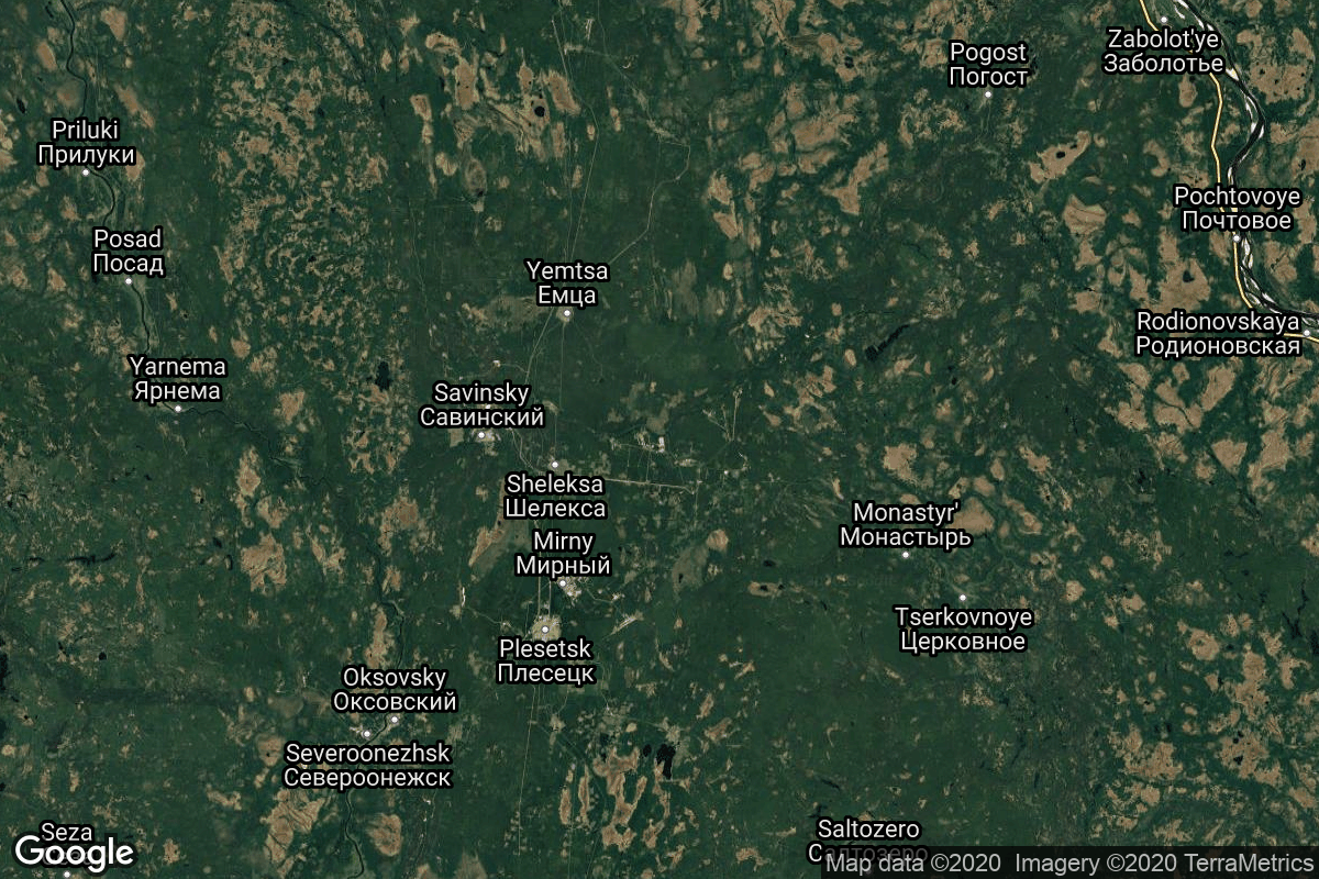
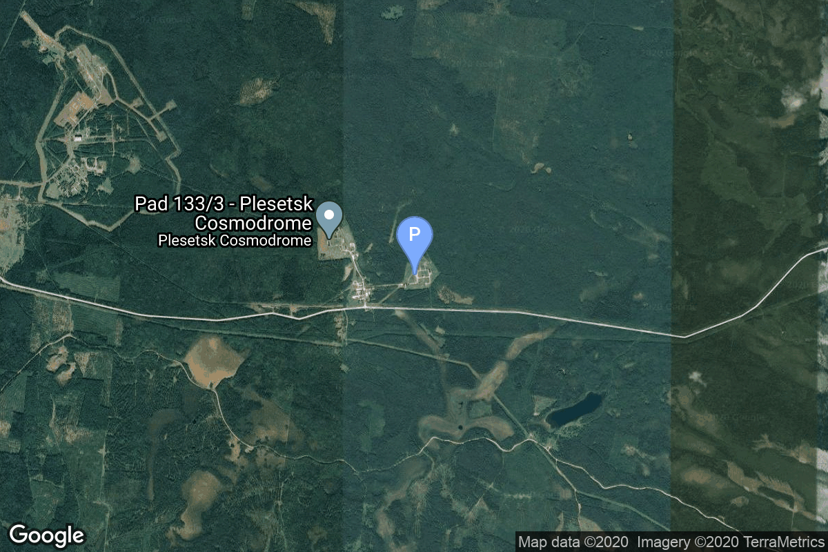
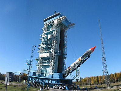
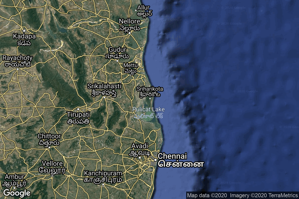
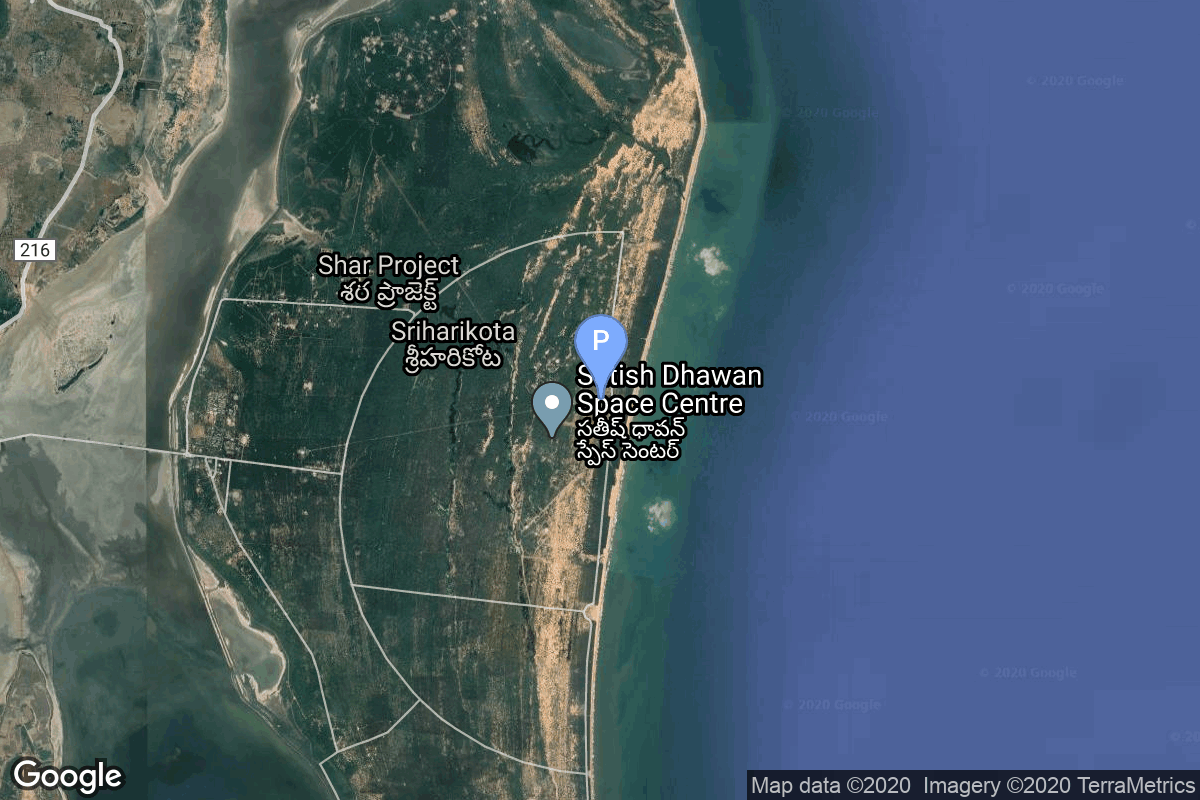
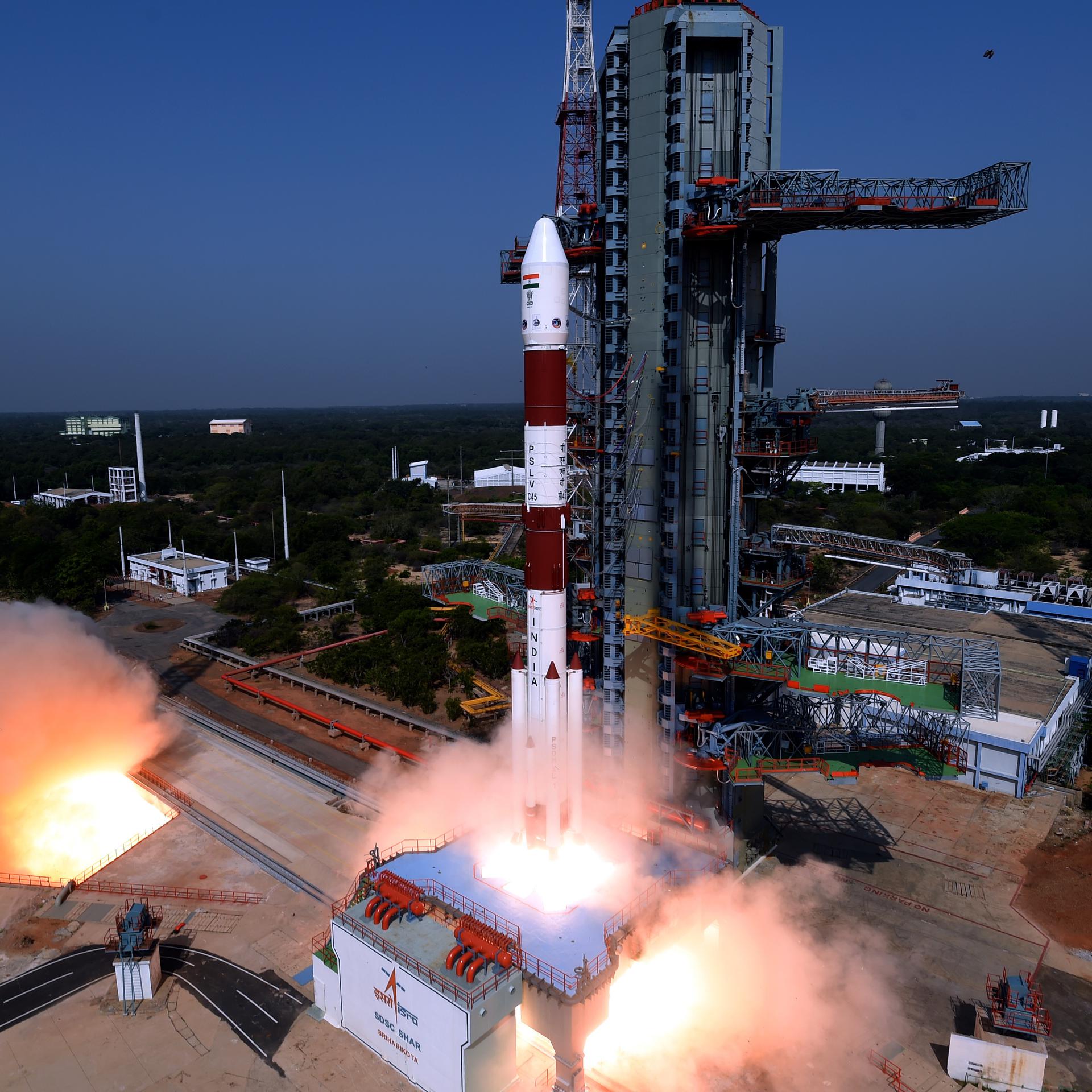
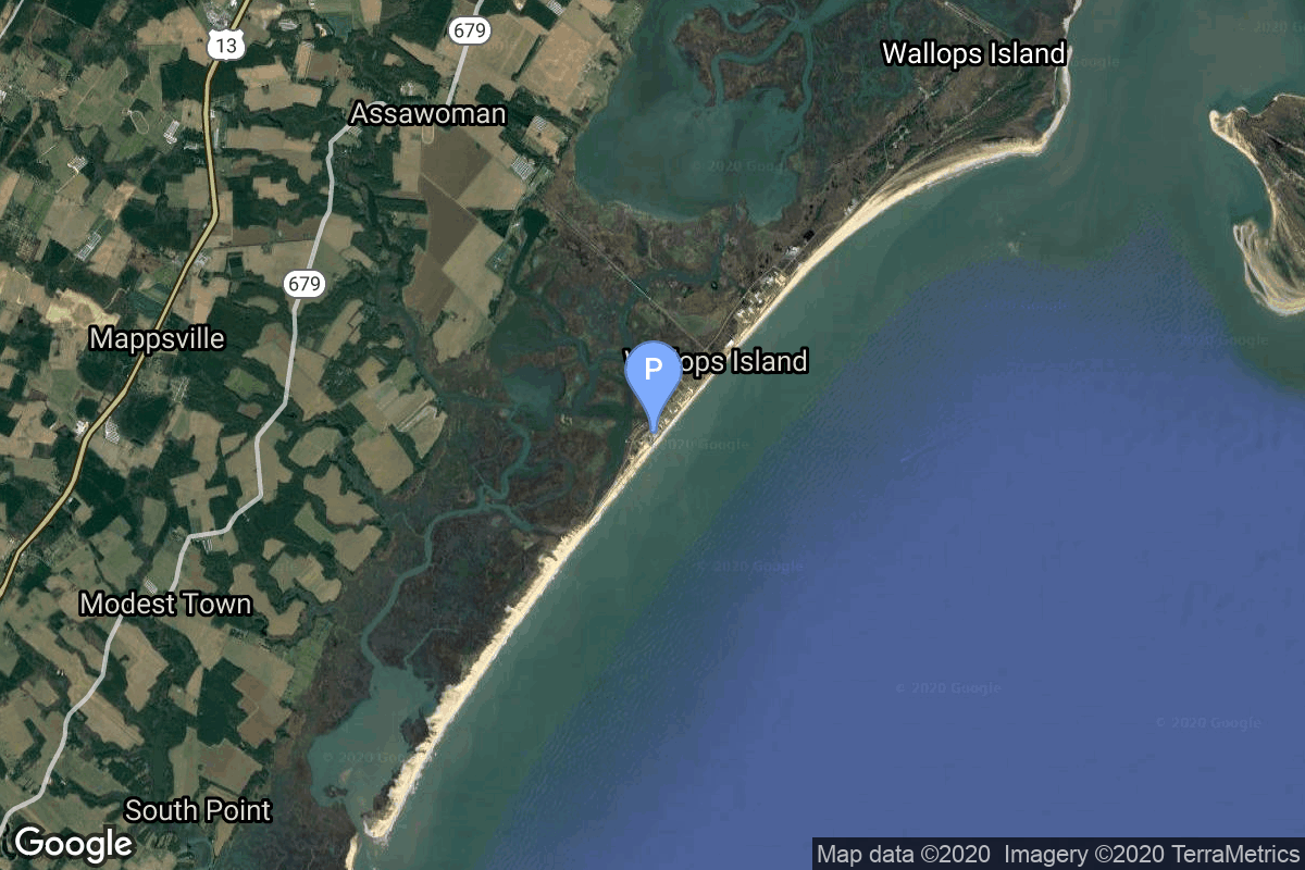
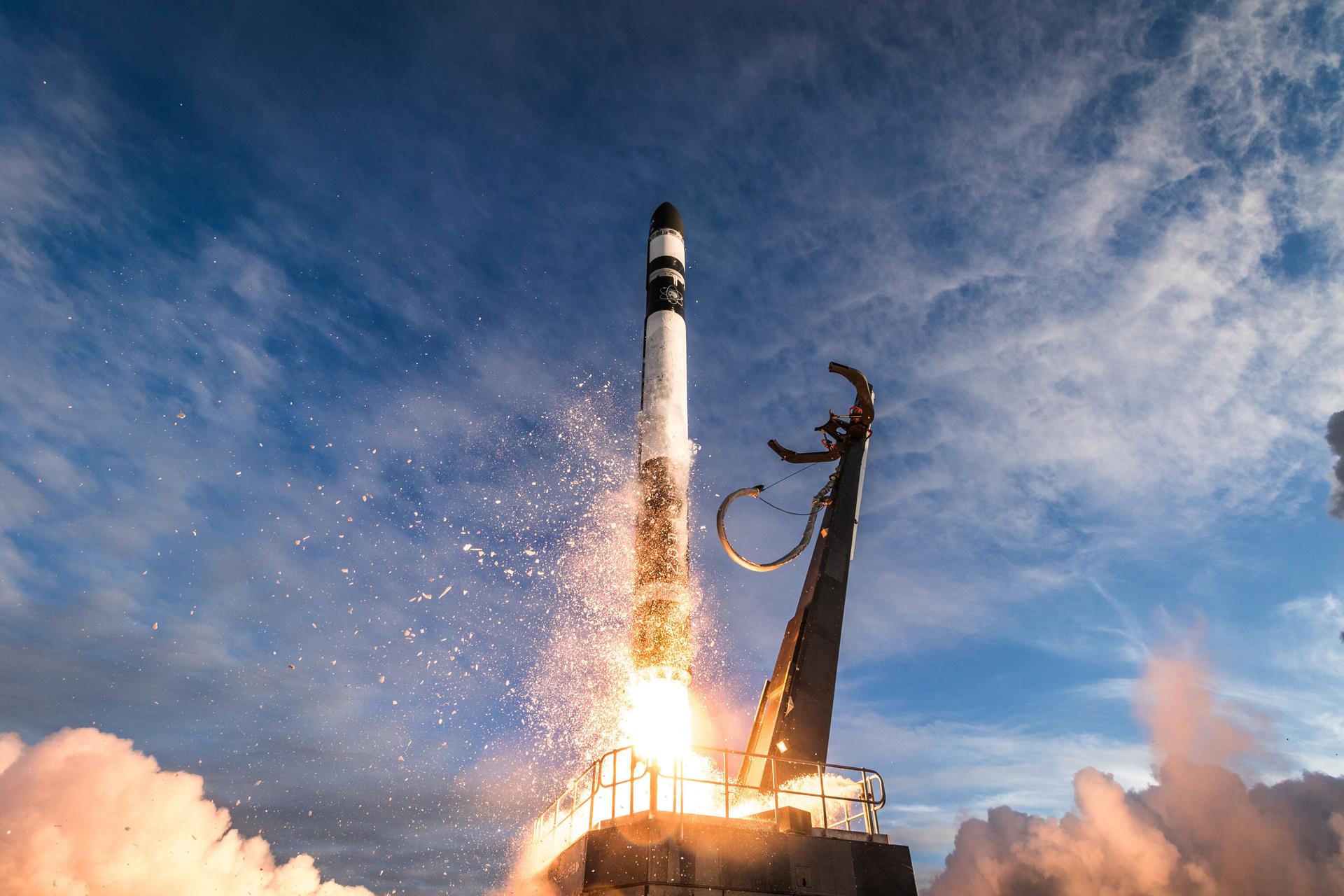
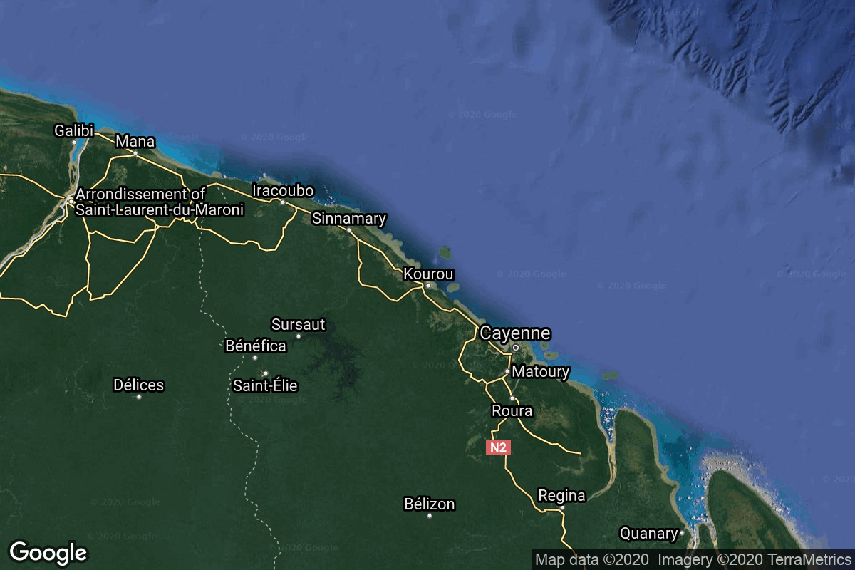
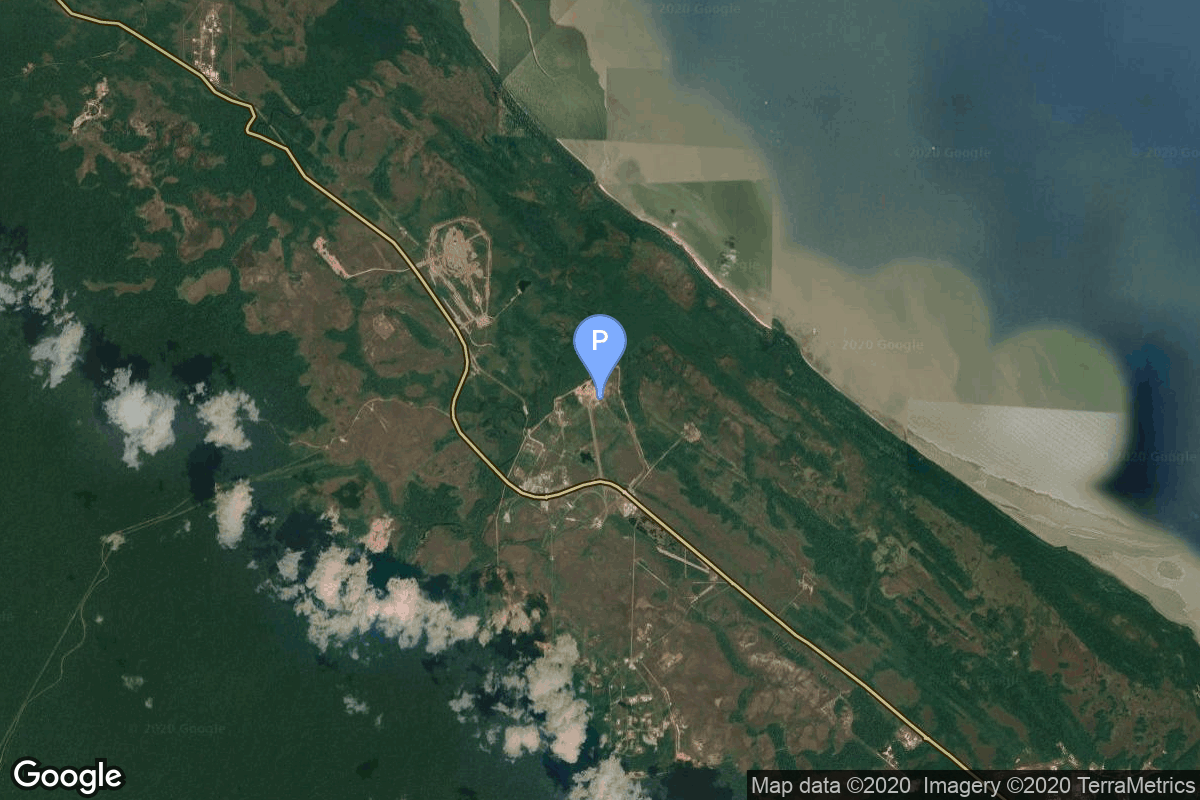
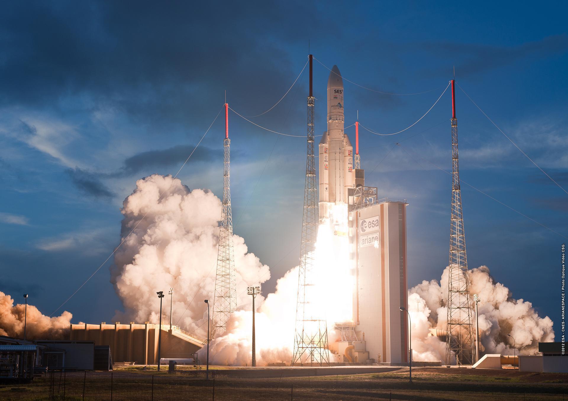
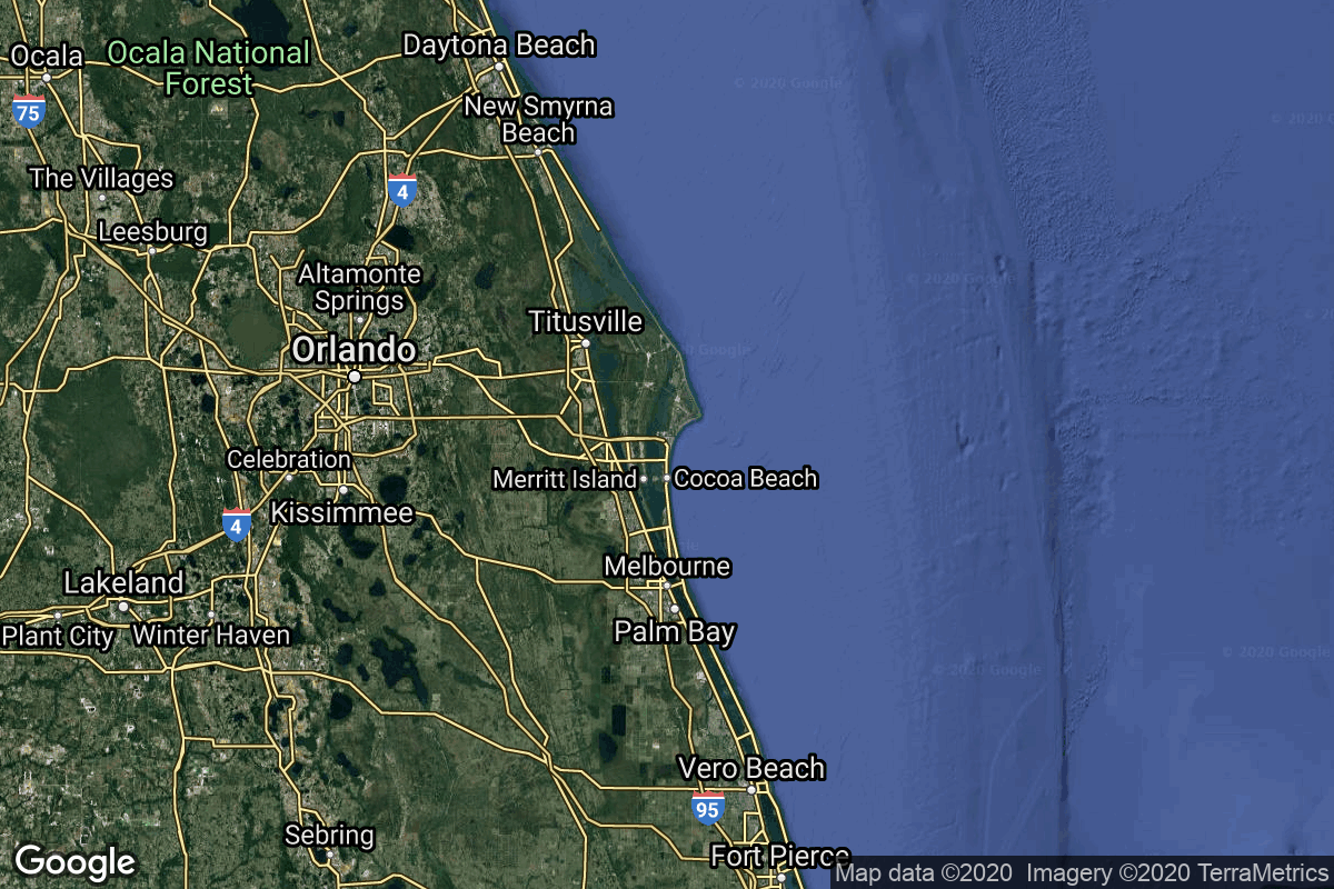
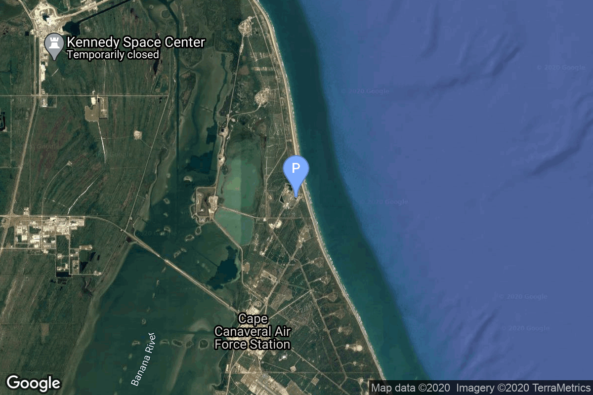
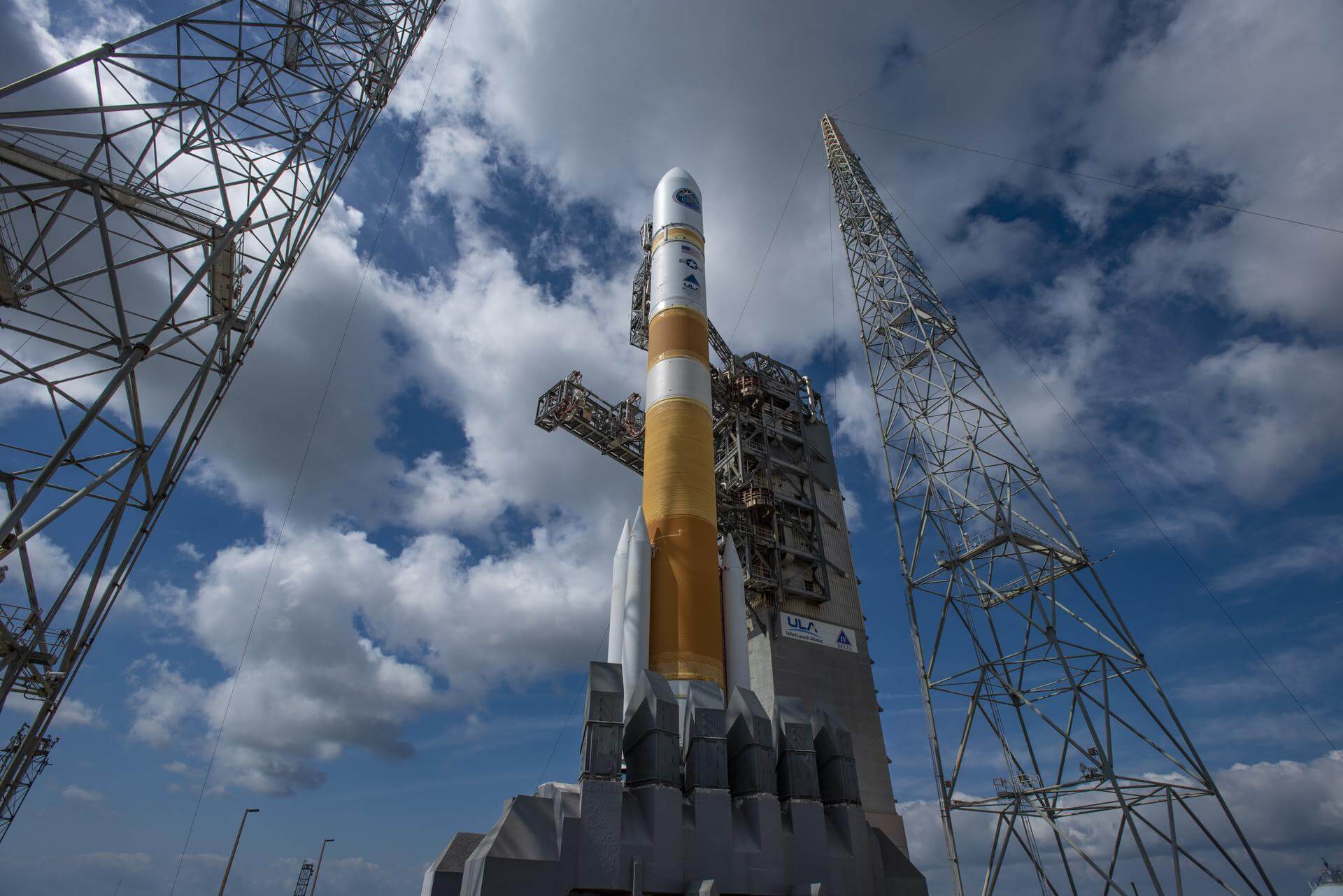
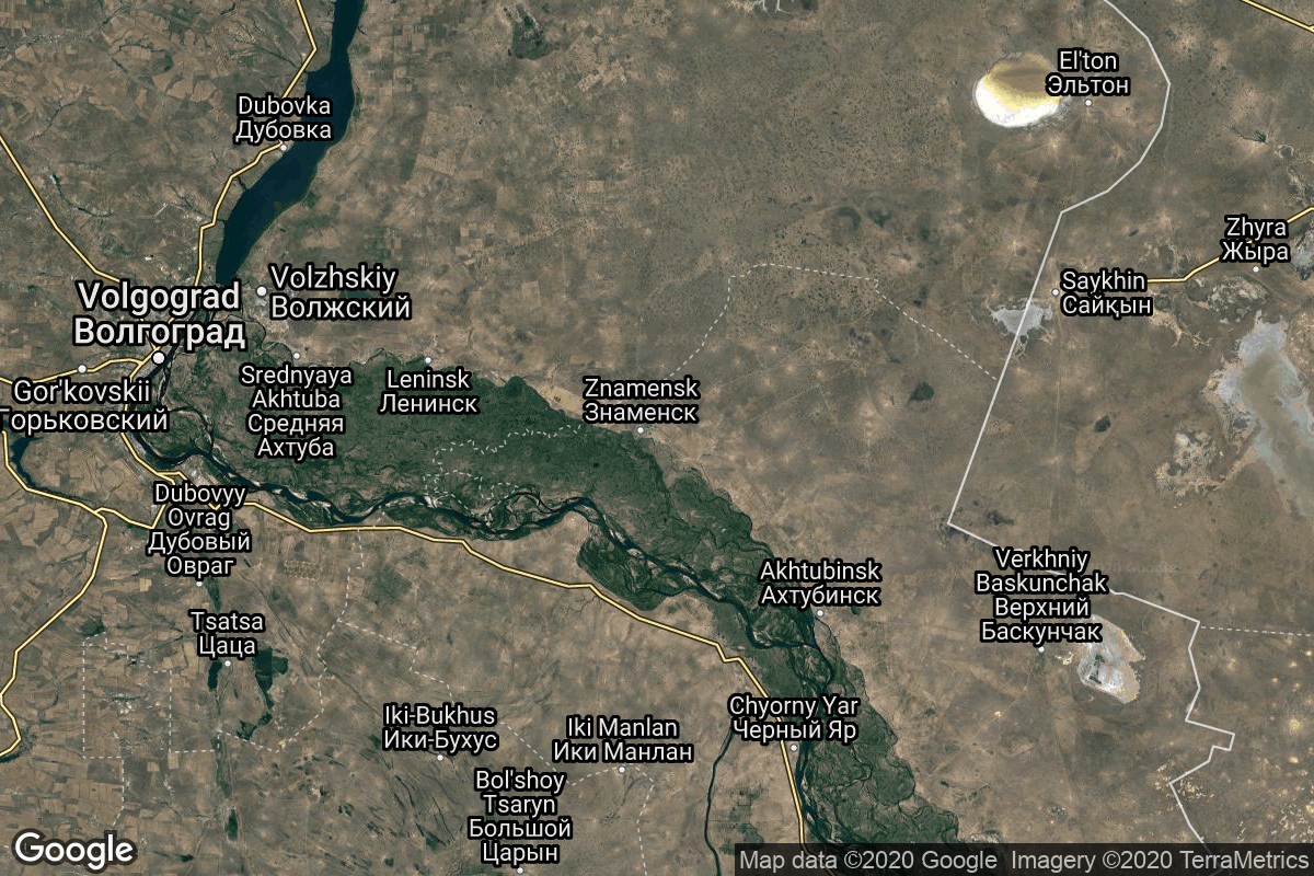
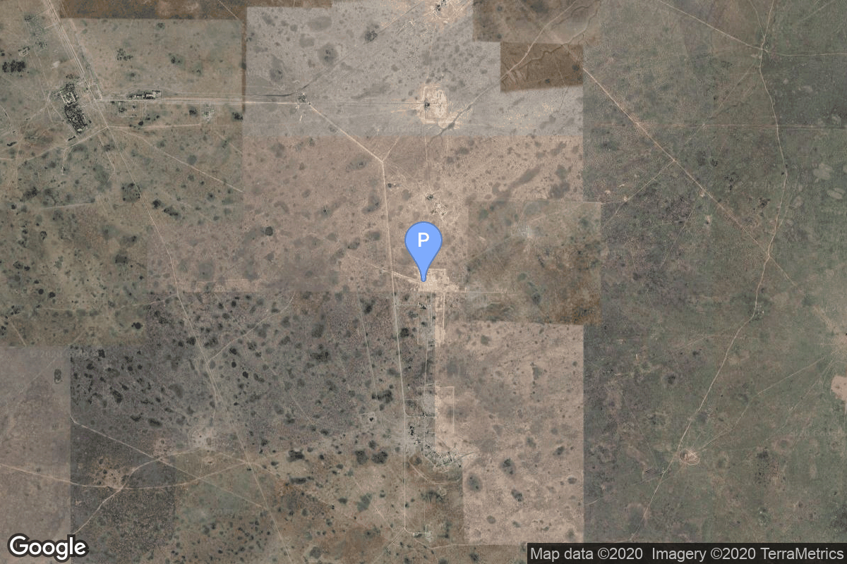
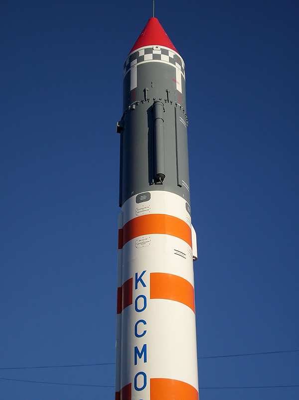
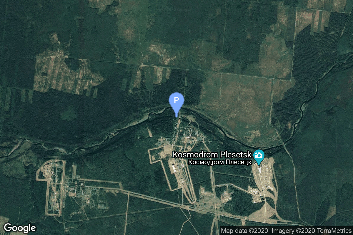
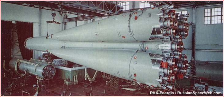
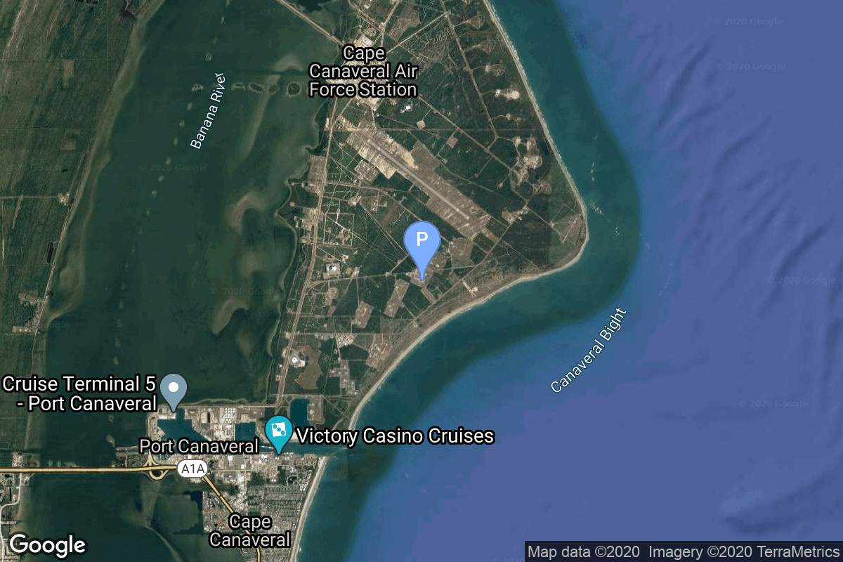
{ "count": 7930, "next": "https://ll.thespacedevs.com/2.2.0/launch/?format=api&limit=10&offset=7200&ordering=id", "previous": "https://ll.thespacedevs.com/2.2.0/launch/?format=api&limit=10&offset=7180&ordering=id", "results": [ { "id": "e6c70216-2eb8-4f10-b164-bfedd8b58426", "url": "https://ll.thespacedevs.com/2.2.0/launch/e6c70216-2eb8-4f10-b164-bfedd8b58426/?format=api", "slug": "kosmos-3m-tsikada-20", "name": "Kosmos-3M | Tsikada 20", "status": { "id": 3, "name": "Launch Successful", "abbrev": "Success", "description": "The launch vehicle successfully inserted its payload(s) into the target orbit(s)." }, "last_updated": "2023-06-14T03:43:49Z", "net": "1995-01-24T03:54:22Z", "window_end": "1995-01-24T03:54:22Z", "window_start": "1995-01-24T03:54:22Z", "net_precision": null, "probability": null, "weather_concerns": null, "holdreason": "", "failreason": null, "hashtag": null, "launch_service_provider": { "id": 154, "url": "https://ll.thespacedevs.com/2.2.0/agencies/154/?format=api", "name": "Production Corporation Polyot", "type": "Commercial" }, "rocket": { "id": 6643, "configuration": { "id": 102, "url": "https://ll.thespacedevs.com/2.2.0/config/launcher/102/?format=api", "name": "Kosmos-3M", "family": "Kosmos", "full_name": "Kosmos-3M (11K65M)", "variant": "-3M" } }, "mission": { "id": 5033, "name": "Tsikada 20", "description": "Civilian navigation satellite equivalent to the purely military Parus", "launch_designator": null, "type": "Navigation", "orbit": { "id": 8, "name": "Low Earth Orbit", "abbrev": "LEO" }, "agencies": [], "info_urls": [], "vid_urls": [] }, "pad": { "id": 28, "url": "https://ll.thespacedevs.com/2.2.0/pad/28/?format=api", "agency_id": 163, "name": "132/1 (132L)", "description": null, "info_url": null, "wiki_url": "", "map_url": "https://www.google.com/maps?q=62.883229,40.868549", "latitude": "62.883229", "longitude": "40.868549", "location": { "id": 6, "url": "https://ll.thespacedevs.com/2.2.0/location/6/?format=api", "name": "Plesetsk Cosmodrome, Russian Federation", "country_code": "RUS", "description": "Plesetsk Cosmodrome is a Russian spaceport located in Mirny, Arkhangelsk Oblast, about 800 km north of Moscow and approximately 200 km south of Arkhangelsk. Originally developed as an ICBM site for the R-7 missile, it also served for numerous satellite launches using the R-7 and other rockets. Its high latitude makes it useful only for certain types of launches, especially the Molniya orbits, so for much of the site's history it functioned as a secondary location, with most orbital launches taking place from Baikonur, in the Kazakh SSR. With the end of the Soviet Union, Baikonur became a foreign territory, and Kazakhstan charged $115 million usage fees annually. Consequently, Plesetsk has seen considerably more activity since the 2000s.", "map_image": "https://thespacedevs-prod.nyc3.digitaloceanspaces.com/media/map_images/location_6_20200803142434.jpg", "timezone_name": "Europe/Moscow", "total_launch_count": 1685, "total_landing_count": 0 }, "country_code": "RUS", "map_image": "https://thespacedevs-prod.nyc3.digitaloceanspaces.com/media/map_images/pad_28_20200803143254.jpg", "total_launch_count": 212, "orbital_launch_attempt_count": 212 }, "webcast_live": false, "image": "https://thespacedevs-prod.nyc3.digitaloceanspaces.com/media/images/kosmos-3m_durin_image_20251101171325.jpg", "infographic": null, "program": [], "orbital_launch_attempt_count": 3964, "location_launch_attempt_count": 1460, "pad_launch_attempt_count": 175, "agency_launch_attempt_count": 19, "orbital_launch_attempt_count_year": 3, "location_launch_attempt_count_year": 1, "pad_launch_attempt_count_year": 1, "agency_launch_attempt_count_year": 1, "type": "normal" }, { "id": "e6ca914b-9466-4227-a0a4-33d1a5ab39fd", "url": "https://ll.thespacedevs.com/2.2.0/launch/e6ca914b-9466-4227-a0a4-33d1a5ab39fd/?format=api", "slug": "pslv-irs-p1", "name": "PSLV | IRS-P1", "status": { "id": 4, "name": "Launch Failure", "abbrev": "Failure", "description": "Either the launch vehicle did not reach orbit, or the payload(s) failed to separate." }, "last_updated": "2023-06-14T03:54:28Z", "net": "1993-09-20T05:12:00Z", "window_end": "1993-09-20T05:12:00Z", "window_start": "1993-09-20T05:12:00Z", "net_precision": null, "probability": null, "weather_concerns": null, "holdreason": "", "failreason": null, "hashtag": null, "launch_service_provider": { "id": 31, "url": "https://ll.thespacedevs.com/2.2.0/agencies/31/?format=api", "name": "Indian Space Research Organization", "type": "Government" }, "rocket": { "id": 6547, "configuration": { "id": 7, "url": "https://ll.thespacedevs.com/2.2.0/config/launcher/7/?format=api", "name": "PSLV", "family": "PSLV", "full_name": "PSLV", "variant": "" } }, "mission": { "id": 4937, "name": "IRS-P1", "description": "IRS-1E (Indian Remote Sensing Satellite) satellite was an experimental Indian earth observing satellite, which was derived from the engineering model of IRS-1A incorporating a Monocular Electro-Optical Stereo Scanner developed by DLR, Germany, and a LISS-I camera similar to that on IRS-1A.", "launch_designator": null, "type": "Earth Science", "orbit": { "id": 8, "name": "Low Earth Orbit", "abbrev": "LEO" }, "agencies": [], "info_urls": [], "vid_urls": [] }, "pad": { "id": 50, "url": "https://ll.thespacedevs.com/2.2.0/pad/50/?format=api", "agency_id": 31, "name": "Satish Dhawan Space Centre First Launch Pad", "description": "India has two launch pads at the site. The First Launch Pad, operational since 1993, is used for Polar Satellite Launch Vehicle, Small Satellite Launch Vehicle and formerly used by Geosynchronous Satellite Launch Vehicle.", "info_url": null, "wiki_url": "https://en.wikipedia.org/wiki/Satish_Dhawan_Space_Centre_First_Launch_Pad", "map_url": "https://www.google.com/maps?q=13.733,80.235", "latitude": "13.733", "longitude": "80.235", "location": { "id": 14, "url": "https://ll.thespacedevs.com/2.2.0/location/14/?format=api", "name": "Satish Dhawan Space Centre, India", "country_code": "IND", "description": "Satish Dhawan Space Centre – SDSC (formerly Sriharikota Range – SHAR),[1] is the primary spaceport of the Indian Space Research Organisation (ISRO), located in Sriharikota, Andhra Pradesh.", "map_image": "https://thespacedevs-prod.nyc3.digitaloceanspaces.com/media/map_images/location_14_20200803142403.jpg", "timezone_name": "Asia/Kolkata", "total_launch_count": 104, "total_landing_count": 0 }, "country_code": "IND", "map_image": "https://thespacedevs-prod.nyc3.digitaloceanspaces.com/media/map_images/pad_50_20200803143457.jpg", "total_launch_count": 64, "orbital_launch_attempt_count": 63 }, "webcast_live": false, "image": "https://thespacedevs-prod.nyc3.digitaloceanspaces.com/media/images/pslv_image_20190508083736.jpeg", "infographic": null, "program": [], "orbital_launch_attempt_count": 3848, "location_launch_attempt_count": 8, "pad_launch_attempt_count": 1, "agency_launch_attempt_count": 8, "orbital_launch_attempt_count_year": 63, "location_launch_attempt_count_year": 1, "pad_launch_attempt_count_year": 1, "agency_launch_attempt_count_year": 1, "type": "normal" }, { "id": "e6cefffc-19a6-4a4b-a7f0-ebe907d5a6aa", "url": "https://ll.thespacedevs.com/2.2.0/launch/e6cefffc-19a6-4a4b-a7f0-ebe907d5a6aa/?format=api", "slug": "haste-curveball", "name": "HASTE | Curveball", "status": { "id": 3, "name": "Launch Successful", "abbrev": "Success", "description": "The launch vehicle successfully inserted its payload(s) into the target orbit(s)." }, "last_updated": "2026-06-25T18:07:49Z", "net": "2026-06-11T08:00:00Z", "window_end": "2026-06-11T09:15:00Z", "window_start": "2026-06-11T04:00:00Z", "net_precision": { "id": 2, "name": "Hour", "abbrev": "HR", "description": "The T-0 is accurate to the hour." }, "probability": null, "weather_concerns": null, "holdreason": "", "failreason": "", "hashtag": null, "launch_service_provider": { "id": 147, "url": "https://ll.thespacedevs.com/2.2.0/agencies/147/?format=api", "name": "Rocket Lab", "type": "Commercial" }, "rocket": { "id": 9046, "configuration": { "id": 26, "url": "https://ll.thespacedevs.com/2.2.0/config/launcher/26/?format=api", "name": "Electron", "family": "", "full_name": "Electron", "variant": "" } }, "mission": { "id": 7641, "name": "Curveball", "description": "Sub-orbital launch under Rocket Lab’s Hypersonic Accelerator Suborbital Test Electron (HASTE) program, details TBD.\r\n\r\nNote: Despite reported as a strictly sub-orbital launch program, this launch was cataloged by the USSF to have left 2 rocket stages in a 200 km, 40° very low Earth orbit by the US Space Force. The payload was not cataloged and may have been deliberately de-orbited.", "launch_designator": null, "type": "Government/Top Secret", "orbit": { "id": 8, "name": "Low Earth Orbit", "abbrev": "LEO" }, "agencies": [], "info_urls": [], "vid_urls": [] }, "pad": { "id": 79, "url": "https://ll.thespacedevs.com/2.2.0/pad/79/?format=api", "agency_id": 147, "name": "Rocket Lab Launch Complex 2 (Launch Area 0 C)", "description": "", "info_url": null, "wiki_url": null, "map_url": "https://www.google.com/maps?q=37.833262,-75.488235", "latitude": "37.833262", "longitude": "-75.488235", "location": { "id": 21, "url": "https://ll.thespacedevs.com/2.2.0/location/21/?format=api", "name": "Wallops Flight Facility, Virginia, USA", "country_code": "USA", "description": "Wallops Flight Facility is a rocket launch site on Wallops Island on the Eastern Shore of Virginia, United States, just east of the Delmarva Peninsula and north-northeast of Norfolk. The facility is operated by the Goddard Space Flight Center in Greenbelt, Maryland, and primarily serves to support science and exploration missions for NASA and other federal agencies. WFF includes an extensively instrumented range to support launches of more than a dozen types of sounding rockets; small expendable suborbital and orbital rockets; high-altitude balloon flights carrying scientific instruments for atmospheric and astronomical research; and, using its Research Airport, flight tests of aeronautical research aircraft, including uncrewed aerial vehicles.", "map_image": "https://thespacedevs-prod.nyc3.digitaloceanspaces.com/media/map_images/location_21_20200803142423.jpg", "timezone_name": "America/New_York", "total_launch_count": 87, "total_landing_count": 0 }, "country_code": "USA", "map_image": "https://thespacedevs-prod.nyc3.digitaloceanspaces.com/media/map_images/pad_79_20200803143607.jpg", "total_launch_count": 13, "orbital_launch_attempt_count": 5 }, "webcast_live": false, "image": "https://thespacedevs-prod.nyc3.digitaloceanspaces.com/media/images/electron_image_20190705175640.jpeg", "infographic": null, "program": [], "orbital_launch_attempt_count": 7308, "location_launch_attempt_count": 87, "pad_launch_attempt_count": 13, "agency_launch_attempt_count": 89, "orbital_launch_attempt_count_year": 135, "location_launch_attempt_count_year": 3, "pad_launch_attempt_count_year": 3, "agency_launch_attempt_count_year": 10, "type": "normal" }, { "id": "e6d98870-9a89-4cca-bbd1-511eed4bf2ce", "url": "https://ll.thespacedevs.com/2.2.0/launch/e6d98870-9a89-4cca-bbd1-511eed4bf2ce/?format=api", "slug": "pslv-xl-eos-09-risat-1b", "name": "PSLV-XL | EOS-09 (RISAT-1B)", "status": { "id": 4, "name": "Launch Failure", "abbrev": "Failure", "description": "Either the launch vehicle did not reach orbit, or the payload(s) failed to separate." }, "last_updated": "2025-05-18T00:48:03Z", "net": "2025-05-18T00:29:00Z", "window_end": "2025-05-18T04:00:00Z", "window_start": "2025-05-18T00:00:00Z", "net_precision": { "id": 1, "name": "Minute", "abbrev": "MIN", "description": "The T-0 is accurate to the minute." }, "probability": null, "weather_concerns": null, "holdreason": "", "failreason": "3rd stage failure during burn.", "hashtag": null, "launch_service_provider": { "id": 31, "url": "https://ll.thespacedevs.com/2.2.0/agencies/31/?format=api", "name": "Indian Space Research Organization", "type": "Government" }, "rocket": { "id": 8592, "configuration": { "id": 38, "url": "https://ll.thespacedevs.com/2.2.0/config/launcher/38/?format=api", "name": "PSLV-XL", "family": "PSLV", "full_name": "PSLV XL", "variant": "XL" } }, "mission": { "id": 7184, "name": "EOS-09 (RISAT-1B)", "description": "RISAT-1B is the third in the series of radar imaging RISAT-1 satellites of ISRO using an active C-band SAR (Synthetic Aperture Radar), providing all-weather as well as the day-and-night SAR observation capability in applications such as agriculture, forestry, soil moisture, geology, sea ice, coastal monitoring, object identification, and flood monitoring, in addition to military surveillance.\r\n\r\nThe RISAT-1 series is developed, manufactured and integrated by ISRO. The 3-axis stabilized spacecraft bus consists of a hexagonal prism shape build around a central cylinder. Most of the spacecraft subsystems and the payload are integrated in the prism structure and the central cylinder. The solar panels and some subsystems are mounted on the cube-shaped section of the spacecraft.", "launch_designator": null, "type": "Government/Top Secret", "orbit": { "id": 17, "name": "Sun-Synchronous Orbit", "abbrev": "SSO" }, "agencies": [], "info_urls": [], "vid_urls": [] }, "pad": { "id": 50, "url": "https://ll.thespacedevs.com/2.2.0/pad/50/?format=api", "agency_id": 31, "name": "Satish Dhawan Space Centre First Launch Pad", "description": "India has two launch pads at the site. The First Launch Pad, operational since 1993, is used for Polar Satellite Launch Vehicle, Small Satellite Launch Vehicle and formerly used by Geosynchronous Satellite Launch Vehicle.", "info_url": null, "wiki_url": "https://en.wikipedia.org/wiki/Satish_Dhawan_Space_Centre_First_Launch_Pad", "map_url": "https://www.google.com/maps?q=13.733,80.235", "latitude": "13.733", "longitude": "80.235", "location": { "id": 14, "url": "https://ll.thespacedevs.com/2.2.0/location/14/?format=api", "name": "Satish Dhawan Space Centre, India", "country_code": "IND", "description": "Satish Dhawan Space Centre – SDSC (formerly Sriharikota Range – SHAR),[1] is the primary spaceport of the Indian Space Research Organisation (ISRO), located in Sriharikota, Andhra Pradesh.", "map_image": "https://thespacedevs-prod.nyc3.digitaloceanspaces.com/media/map_images/location_14_20200803142403.jpg", "timezone_name": "Asia/Kolkata", "total_launch_count": 104, "total_landing_count": 0 }, "country_code": "IND", "map_image": "https://thespacedevs-prod.nyc3.digitaloceanspaces.com/media/map_images/pad_50_20200803143457.jpg", "total_launch_count": 64, "orbital_launch_attempt_count": 63 }, "webcast_live": false, "image": "https://thespacedevs-prod.nyc3.digitaloceanspaces.com/media/images/pslv_image_20190224012254.jpeg", "infographic": null, "program": [], "orbital_launch_attempt_count": 6957, "location_launch_attempt_count": 99, "pad_launch_attempt_count": 62, "agency_launch_attempt_count": 95, "orbital_launch_attempt_count_year": 108, "location_launch_attempt_count_year": 2, "pad_launch_attempt_count_year": 1, "agency_launch_attempt_count_year": 2, "type": "normal" }, { "id": "e6dfa6db-544c-4407-af89-03640bf75789", "url": "https://ll.thespacedevs.com/2.2.0/launch/e6dfa6db-544c-4407-af89-03640bf75789/?format=api", "slug": "h-iia-202-igs-optical-4", "name": "H-IIA 202 | IGS Optical 4", "status": { "id": 3, "name": "Launch Successful", "abbrev": "Success", "description": "The launch vehicle successfully inserted its payload(s) into the target orbit(s)." }, "last_updated": "2023-09-08T08:36:03Z", "net": "2011-09-23T04:36:50Z", "window_end": "2011-09-23T04:36:50Z", "window_start": "2011-09-23T04:36:50Z", "net_precision": null, "probability": null, "weather_concerns": null, "holdreason": "", "failreason": "", "hashtag": null, "launch_service_provider": { "id": 98, "url": "https://ll.thespacedevs.com/2.2.0/agencies/98/?format=api", "name": "Mitsubishi Heavy Industries", "type": "Commercial" }, "rocket": { "id": 1553, "configuration": { "id": 32, "url": "https://ll.thespacedevs.com/2.2.0/config/launcher/32/?format=api", "name": "H-IIA", "family": "H-II", "full_name": "H-IIA 202", "variant": "202" } }, "mission": { "id": 6533, "name": "IGS Optical 4", "description": "The IGS Optical 4 is a Japanese optical reconnaissance satellite. The satellite is operated by the Cabinet Satellite Information Center. The satellite serves both Japan's national defense and civil natural disaster monitoring.", "launch_designator": null, "type": "Government/Top Secret", "orbit": { "id": 17, "name": "Sun-Synchronous Orbit", "abbrev": "SSO" }, "agencies": [], "info_urls": [], "vid_urls": [] }, "pad": { "id": 41, "url": "https://ll.thespacedevs.com/2.2.0/pad/41/?format=api", "agency_id": 37, "name": "Yoshinobu Launch Complex LP-1", "description": "", "info_url": null, "wiki_url": "https://en.wikipedia.org/wiki/Yoshinobu_Launch_Complex", "map_url": "https://www.google.com/maps?q=30.400813,130.977748", "latitude": "30.400813", "longitude": "130.977748", "location": { "id": 26, "url": "https://ll.thespacedevs.com/2.2.0/location/26/?format=api", "name": "Tanegashima Space Center, Japan", "country_code": "JPN", "description": "The Tanegashima Space Center is the largest rocket-launch complex in Japan. It is located on the southeastern tip of Tanegashima, an island located south of Kyushu, an island and region and Japan. It was established in 1969 when the National Space Development Agency of Japan (NASDA) was formed, and is now run by JAXA. The activities that take place at TNSC include assembly, testing, launching, and tracking satellites, as well as rocket engine firing tests.", "map_image": "https://thespacedevs-prod.nyc3.digitaloceanspaces.com/media/map_images/location_26_20200803142507.jpg", "timezone_name": "Asia/Tokyo", "total_launch_count": 98, "total_landing_count": 0 }, "country_code": "JPN", "map_image": "https://thespacedevs-prod.nyc3.digitaloceanspaces.com/media/map_images/pad_41_20200803143551.jpg", "total_launch_count": 57, "orbital_launch_attempt_count": 57 }, "webcast_live": false, "image": "https://thespacedevs-prod.nyc3.digitaloceanspaces.com/media/images/h-iia_202_lifto_image_20240325123250.jpg", "infographic": null, "program": [], "orbital_launch_attempt_count": 5159, "location_launch_attempt_count": 52, "pad_launch_attempt_count": 26, "agency_launch_attempt_count": 14, "orbital_launch_attempt_count_year": 53, "location_launch_attempt_count_year": 2, "pad_launch_attempt_count_year": 1, "agency_launch_attempt_count_year": 2, "type": "normal" }, { "id": "e6e01709-3311-41f6-9b1d-85cae47ca11b", "url": "https://ll.thespacedevs.com/2.2.0/launch/e6e01709-3311-41f6-9b1d-85cae47ca11b/?format=api", "slug": "ariane-5-eca-astra-5b-amazonas-4a", "name": "Ariane 5 ECA | Astra 5B & Amazonas 4A", "status": { "id": 3, "name": "Launch Successful", "abbrev": "Success", "description": "The launch vehicle successfully inserted its payload(s) into the target orbit(s)." }, "last_updated": "2023-06-14T04:01:22Z", "net": "2014-03-22T22:04:07Z", "window_end": "2014-03-22T22:04:07Z", "window_start": "2014-03-22T22:04:07Z", "net_precision": null, "probability": null, "weather_concerns": null, "holdreason": "", "failreason": null, "hashtag": null, "launch_service_provider": { "id": 115, "url": "https://ll.thespacedevs.com/2.2.0/agencies/115/?format=api", "name": "Arianespace", "type": "Commercial" }, "rocket": { "id": 948, "configuration": { "id": 20, "url": "https://ll.thespacedevs.com/2.2.0/config/launcher/20/?format=api", "name": "Ariane 5 ECA", "family": "Ariane", "full_name": "Ariane 5 ECA", "variant": "ECA" } }, "mission": { "id": 29, "name": "ASTRA 5B", "description": "ASTRA 5B will extend transponder capacity and geographical reach over Eastern European and neighbouring markets for DTH, direct-to- cable and contribution feeds to digital terrestrial television networks. It will also carry a hosted L-band payload for the European Commission’s European Geostationary Navigation Overlay Service (EGNOS) - See more at: http://www.ses.com/4628908/astra-5b#sthash.h0BOdquk.dpuf", "launch_designator": null, "type": "Communications", "orbit": { "id": 2, "name": "Geostationary Transfer Orbit", "abbrev": "GTO" }, "agencies": [], "info_urls": [], "vid_urls": [] }, "pad": { "id": 77, "url": "https://ll.thespacedevs.com/2.2.0/pad/77/?format=api", "agency_id": 115, "name": "Ariane Launch Area 3", "description": "ELA-3, is a launch pad and associated facilities at the Centre Spatial Guyanais in French Guiana. ELA-3 was operated by Arianespace as part of the expendable launch system for Ariane 5 launch vehicles.", "info_url": null, "wiki_url": "https://en.wikipedia.org/wiki/ELA-3", "map_url": "https://www.google.com/maps?q=5.239,-52.768", "latitude": "5.239", "longitude": "-52.768", "location": { "id": 13, "url": "https://ll.thespacedevs.com/2.2.0/location/13/?format=api", "name": "Guiana Space Centre, French Guiana", "country_code": "GUF", "description": "The Guiana Space Centre is a European spaceport to the northwest of Kourou in French Guiana, a region of France in South America. Kourou is located at a latitude of 5°. In operation since 1968, it is a suitable location for a spaceport because of its equatorial location and open sea to the east.", "map_image": "https://thespacedevs-prod.nyc3.digitaloceanspaces.com/media/map_images/location_13_20200803142412.jpg", "timezone_name": "America/Cayenne", "total_launch_count": 334, "total_landing_count": 0 }, "country_code": "GUF", "map_image": "https://thespacedevs-prod.nyc3.digitaloceanspaces.com/media/map_images/pad_77_20200803143458.jpg", "total_launch_count": 118, "orbital_launch_attempt_count": 118 }, "webcast_live": false, "image": "https://thespacedevs-prod.nyc3.digitaloceanspaces.com/media/images/ariane252052520eca_image_20190224012333.jpeg", "infographic": null, "program": [], "orbital_launch_attempt_count": 5360, "location_launch_attempt_count": 234, "pad_launch_attempt_count": 73, "agency_launch_attempt_count": 219, "orbital_launch_attempt_count_year": 11, "location_launch_attempt_count_year": 2, "pad_launch_attempt_count_year": 2, "agency_launch_attempt_count_year": 2, "type": "normal" }, { "id": "e6e67fbc-d836-4537-93fa-ca61b139e7af", "url": "https://ll.thespacedevs.com/2.2.0/launch/e6e67fbc-d836-4537-93fa-ca61b139e7af/?format=api", "slug": "delta-iv-m54-wgs-5-usa-243", "name": "Delta IV M+(5,4) | WGS-5 (USA-243)", "status": { "id": 3, "name": "Launch Successful", "abbrev": "Success", "description": "The launch vehicle successfully inserted its payload(s) into the target orbit(s)." }, "last_updated": "2023-06-14T17:43:23Z", "net": "2013-05-25T00:27:00Z", "window_end": "2013-05-25T00:27:00Z", "window_start": "2013-05-25T00:27:00Z", "net_precision": null, "probability": null, "weather_concerns": null, "holdreason": "", "failreason": null, "hashtag": null, "launch_service_provider": { "id": 124, "url": "https://ll.thespacedevs.com/2.2.0/agencies/124/?format=api", "name": "United Launch Alliance", "type": "Commercial" }, "rocket": { "id": 1678, "configuration": { "id": 23, "url": "https://ll.thespacedevs.com/2.2.0/config/launcher/23/?format=api", "name": "Delta IV M+(5,4)", "family": "Delta", "full_name": "Delta IV M+(5,4)", "variant": "M+(5,4)" } }, "mission": { "id": 932, "name": "WGS-5 (USA-243)", "description": "WGS-5 is the fifth of 10 high-capacity military communications satellites providing vital service for tactical forces who rely on WGS for connectivity to the Defence Information Systems Network (DISN).", "launch_designator": null, "type": "Communications", "orbit": { "id": 2, "name": "Geostationary Transfer Orbit", "abbrev": "GTO" }, "agencies": [], "info_urls": [], "vid_urls": [] }, "pad": { "id": 38, "url": "https://ll.thespacedevs.com/2.2.0/pad/38/?format=api", "agency_id": null, "name": "Space Launch Complex 37B", "description": "", "info_url": null, "wiki_url": "https://en.wikipedia.org/wiki/Cape_Canaveral_Air_Force_Station_Space_Launch_Complex_37", "map_url": "https://www.google.com/maps?q=28.5317,-80.56495", "latitude": "28.5317", "longitude": "-80.56495", "location": { "id": 12, "url": "https://ll.thespacedevs.com/2.2.0/location/12/?format=api", "name": "Cape Canaveral SFS, FL, USA", "country_code": "USA", "description": "Cape Canaveral Space Force Station (CCSFS) is an installation of the United States Space Force's Space Launch Delta 45, located on Cape Canaveral in Brevard County, Florida.", "map_image": "https://thespacedevs-prod.nyc3.digitaloceanspaces.com/media/map_images/location_12_20200803142519.jpg", "timezone_name": "America/New_York", "total_launch_count": 1121, "total_landing_count": 75 }, "country_code": "USA", "map_image": "https://thespacedevs-prod.nyc3.digitaloceanspaces.com/media/map_images/pad_38_20200803143515.jpg", "total_launch_count": 40, "orbital_launch_attempt_count": 40 }, "webcast_live": false, "image": "https://thespacedevs-prod.nyc3.digitaloceanspaces.com/media/images/delta_iv_m252b_image_20240308073027.jpeg", "infographic": null, "program": [], "orbital_launch_attempt_count": 5293, "location_launch_attempt_count": 698, "pad_launch_attempt_count": 25, "agency_launch_attempt_count": 72, "orbital_launch_attempt_count_year": 25, "location_launch_attempt_count_year": 5, "pad_launch_attempt_count_year": 1, "agency_launch_attempt_count_year": 5, "type": "normal" }, { "id": "e6ecf05c-fde5-433e-8031-e6b6446e7872", "url": "https://ll.thespacedevs.com/2.2.0/launch/e6ecf05c-fde5-433e-8031-e6b6446e7872/?format=api", "slug": "kosmos-2i-63s1-ds-k-40-1", "name": "Kosmos-2I 63S1 | DS-K-40 1", "status": { "id": 4, "name": "Launch Failure", "abbrev": "Failure", "description": "Either the launch vehicle did not reach orbit, or the payload(s) failed to separate." }, "last_updated": "2023-06-14T04:24:51Z", "net": "1965-12-28T08:10:00Z", "window_end": "1965-12-28T08:10:00Z", "window_start": "1965-12-28T08:10:00Z", "net_precision": null, "probability": null, "weather_concerns": null, "holdreason": "", "failreason": null, "hashtag": null, "launch_service_provider": { "id": 66, "url": "https://ll.thespacedevs.com/2.2.0/agencies/66/?format=api", "name": "Soviet Space Program", "type": "Government" }, "rocket": { "id": 3475, "configuration": { "id": 190, "url": "https://ll.thespacedevs.com/2.2.0/config/launcher/190/?format=api", "name": "Kosmos-2I 63S1", "family": "Kosmos", "full_name": "Kosmos-2I", "variant": "" } }, "mission": { "id": 1895, "name": "DS-K-40 1", "description": "DS-K-40 was a series of experimental ELINT satellites developed by Yuzhnoye to test technologies for the Tselina-O program.", "launch_designator": null, "type": "Government/Top Secret", "orbit": { "id": 8, "name": "Low Earth Orbit", "abbrev": "LEO" }, "agencies": [], "info_urls": [], "vid_urls": [] }, "pad": { "id": 139, "url": "https://ll.thespacedevs.com/2.2.0/pad/139/?format=api", "agency_id": null, "name": "86/1", "description": null, "info_url": null, "wiki_url": "https://en.wikipedia.org/wiki/Kapustin_Yar", "map_url": "https://www.google.com/maps?q=48.56935,46.293219", "latitude": "48.56935", "longitude": "46.293219", "location": { "id": 30, "url": "https://ll.thespacedevs.com/2.2.0/location/30/?format=api", "name": "Kapustin Yar, Russian Federation", "country_code": "RUS", "description": "Kapustin Yar is a Russian military training area and a rocket launch complex in Astrakhan Oblast, about 100 km east of Volgograd. It was established by the Soviet Union on 13 May 1946. In the beginning, Kapustin Yar used technology, material, and scientific support gained from the defeat of Germany in World War II. Numerous launches of test rockets for the Russian military were carried out at the site, as well as satellite and sounding rocket launches.", "map_image": "https://thespacedevs-prod.nyc3.digitaloceanspaces.com/media/map_images/location_30_20200803142515.jpg", "timezone_name": "Europe/Volgograd", "total_launch_count": 101, "total_landing_count": 0 }, "country_code": "RUS", "map_image": "https://thespacedevs-prod.nyc3.digitaloceanspaces.com/media/map_images/pad_139_20200803143345.jpg", "total_launch_count": 26, "orbital_launch_attempt_count": 26 }, "webcast_live": false, "image": "https://thespacedevs-prod.nyc3.digitaloceanspaces.com/media/images/kosmos-2i252063s1_image_20191201205435.jpg", "infographic": null, "program": [], "orbital_launch_attempt_count": 516, "location_launch_attempt_count": 36, "pad_launch_attempt_count": 12, "agency_launch_attempt_count": 161, "orbital_launch_attempt_count_year": 123, "location_launch_attempt_count_year": 10, "pad_launch_attempt_count_year": 10, "agency_launch_attempt_count_year": 53, "type": "normal" }, { "id": "e6f8f7c1-615a-489f-8cd5-937050408f84", "url": "https://ll.thespacedevs.com/2.2.0/launch/e6f8f7c1-615a-489f-8cd5-937050408f84/?format=api", "slug": "voskhod-zenit-4-27", "name": "Voskhod | Zenit-4 27", "status": { "id": 3, "name": "Launch Successful", "abbrev": "Success", "description": "The launch vehicle successfully inserted its payload(s) into the target orbit(s)." }, "last_updated": "2023-06-14T04:29:14Z", "net": "1967-03-22T12:44:59Z", "window_end": "1967-03-22T12:44:59Z", "window_start": "1967-03-22T12:44:59Z", "net_precision": null, "probability": null, "weather_concerns": null, "holdreason": "", "failreason": null, "hashtag": null, "launch_service_provider": { "id": 66, "url": "https://ll.thespacedevs.com/2.2.0/agencies/66/?format=api", "name": "Soviet Space Program", "type": "Government" }, "rocket": { "id": 3634, "configuration": { "id": 104, "url": "https://ll.thespacedevs.com/2.2.0/config/launcher/104/?format=api", "name": "Voskhod", "family": "R-7", "full_name": "Voskhod", "variant": "Voskhod" } }, "mission": { "id": 2052, "name": "Zenit-4 27", "description": "Zenit-4 film-return reconnaissance satellite.", "launch_designator": null, "type": "Government/Top Secret", "orbit": { "id": 8, "name": "Low Earth Orbit", "abbrev": "LEO" }, "agencies": [], "info_urls": [], "vid_urls": [] }, "pad": { "id": 168, "url": "https://ll.thespacedevs.com/2.2.0/pad/168/?format=api", "agency_id": null, "name": "41/1", "description": null, "info_url": null, "wiki_url": "https://en.wikipedia.org/wiki/Plesetsk_Cosmodrome", "map_url": "https://www.google.com/maps?q=62.941,40.526806", "latitude": "62.941", "longitude": "40.526806", "location": { "id": 6, "url": "https://ll.thespacedevs.com/2.2.0/location/6/?format=api", "name": "Plesetsk Cosmodrome, Russian Federation", "country_code": "RUS", "description": "Plesetsk Cosmodrome is a Russian spaceport located in Mirny, Arkhangelsk Oblast, about 800 km north of Moscow and approximately 200 km south of Arkhangelsk. Originally developed as an ICBM site for the R-7 missile, it also served for numerous satellite launches using the R-7 and other rockets. Its high latitude makes it useful only for certain types of launches, especially the Molniya orbits, so for much of the site's history it functioned as a secondary location, with most orbital launches taking place from Baikonur, in the Kazakh SSR. With the end of the Soviet Union, Baikonur became a foreign territory, and Kazakhstan charged $115 million usage fees annually. Consequently, Plesetsk has seen considerably more activity since the 2000s.", "map_image": "https://thespacedevs-prod.nyc3.digitaloceanspaces.com/media/map_images/location_6_20200803142434.jpg", "timezone_name": "Europe/Moscow", "total_launch_count": 1685, "total_landing_count": 0 }, "country_code": "RUS", "map_image": "https://thespacedevs-prod.nyc3.digitaloceanspaces.com/media/map_images/pad_168_20200803143446.jpg", "total_launch_count": 310, "orbital_launch_attempt_count": 310 }, "webcast_live": false, "image": "https://thespacedevs-prod.nyc3.digitaloceanspaces.com/media/images/voskhod_during__image_20251102062248.jpg", "infographic": null, "program": [], "orbital_launch_attempt_count": 675, "location_launch_attempt_count": 13, "pad_launch_attempt_count": 12, "agency_launch_attempt_count": 228, "orbital_launch_attempt_count_year": 27, "location_launch_attempt_count_year": 6, "pad_launch_attempt_count_year": 5, "agency_launch_attempt_count_year": 13, "type": "normal" }, { "id": "e6fbeb67-f290-437c-a0b1-5621db4a9f0a", "url": "https://ll.thespacedevs.com/2.2.0/launch/e6fbeb67-f290-437c-a0b1-5621db4a9f0a/?format=api", "slug": "delta-ii-gps-iia-13", "name": "Delta II | GPS IIA-13", "status": { "id": 3, "name": "Launch Successful", "abbrev": "Success", "description": "The launch vehicle successfully inserted its payload(s) into the target orbit(s)." }, "last_updated": "2024-01-02T15:03:37Z", "net": "1993-08-30T12:38:00Z", "window_end": "1993-08-30T12:38:00Z", "window_start": "1993-08-30T12:38:00Z", "net_precision": null, "probability": null, "weather_concerns": null, "holdreason": "", "failreason": "", "hashtag": null, "launch_service_provider": { "id": 161, "url": "https://ll.thespacedevs.com/2.2.0/agencies/161/?format=api", "name": "United States Air Force", "type": "Government" }, "rocket": { "id": 6541, "configuration": { "id": 159, "url": "https://ll.thespacedevs.com/2.2.0/config/launcher/159/?format=api", "name": "Delta II", "family": "Delta", "full_name": "Delta II 7925", "variant": "7925" } }, "mission": { "id": 4931, "name": "GPS IIA-13", "description": "GPS-2A (Global Positioning System) or Navstar-2A (Navigation System using Timing And ranging) are improved satellites of the second generation of the GPS navigation system.", "launch_designator": null, "type": "Navigation", "orbit": { "id": 12, "name": "Medium Earth Orbit", "abbrev": "MEO" }, "agencies": [], "info_urls": [], "vid_urls": [] }, "pad": { "id": 1, "url": "https://ll.thespacedevs.com/2.2.0/pad/1/?format=api", "agency_id": null, "name": "Space Launch Complex 17B", "description": "", "info_url": null, "wiki_url": "https://en.wikipedia.org/wiki/Cape_Canaveral_Space_Launch_Complex_17", "map_url": "https://www.google.com/maps?q=28.4458,-80.5657", "latitude": "28.4458", "longitude": "-80.5657", "location": { "id": 12, "url": "https://ll.thespacedevs.com/2.2.0/location/12/?format=api", "name": "Cape Canaveral SFS, FL, USA", "country_code": "USA", "description": "Cape Canaveral Space Force Station (CCSFS) is an installation of the United States Space Force's Space Launch Delta 45, located on Cape Canaveral in Brevard County, Florida.", "map_image": "https://thespacedevs-prod.nyc3.digitaloceanspaces.com/media/map_images/location_12_20200803142519.jpg", "timezone_name": "America/New_York", "total_launch_count": 1121, "total_landing_count": 75 }, "country_code": "USA", "map_image": "https://thespacedevs-prod.nyc3.digitaloceanspaces.com/media/map_images/pad_1_20200803143208.jpg", "total_launch_count": 132, "orbital_launch_attempt_count": 132 }, "webcast_live": false, "image": "https://thespacedevs-prod.nyc3.digitaloceanspaces.com/media/images/delta2520ii_image_20190222030440.jpeg", "infographic": null, "program": [ { "id": 29, "url": "https://ll.thespacedevs.com/2.2.0/program/29/?format=api", "name": "Global Positioning System", "description": "The Global Positioning System (GPS), originally Navstar GPS, is a satellite-based radio navigation system owned by the United States government and operated by the United States Space Force. It is one of the global navigation satellite systems (GNSS) that provide geolocation and time information to a GPS receiver anywhere on or near the Earth where there is an unobstructed line of sight to four or more GPS satellites.", "agencies": [ { "id": 1041, "url": "https://ll.thespacedevs.com/2.2.0/agencies/1041/?format=api", "name": "United States Space Force", "type": "Government" } ], "image_url": "https://thespacedevs-prod.nyc3.digitaloceanspaces.com/media/images/global2520posi_program_20231229182501.png", "start_date": "1978-02-22T00:00:00Z", "end_date": null, "info_url": "https://www.gps.gov/", "wiki_url": "https://en.wikipedia.org/wiki/Global_Positioning_System", "mission_patches": [], "type": { "id": 4, "name": "Navigation Constellation" } } ], "orbital_launch_attempt_count": 3841, "location_launch_attempt_count": 473, "pad_launch_attempt_count": 96, "agency_launch_attempt_count": 929, "orbital_launch_attempt_count_year": 56, "location_launch_attempt_count_year": 7, "pad_launch_attempt_count_year": 1, "agency_launch_attempt_count_year": 9, "type": "normal" } ] }