Launch List
AN API endpoint that returns all Launch objects or a single launch.
EXAMPLE - /launch/[id]/ or /launch/?mode=list&search=SpaceX
GET Return a list of all Launch objects.
FILTERS Fields - 'name', 'id(s)', 'lsp__id', 'lsp__name', 'serial_number', 'launcher_config__id', 'rocket__spacecraftflight__spacecraft__name', 'is_crewed', 'include_suborbital', 'spacecraft_config__ids', 'related', 'location__ids', 'lsp__ids', 'pad__ids', 'status__ids'
MODE 'normal', 'list', 'detailed'
EXAMPLE ?mode=list
SEARCH Searches through the launch name, rocket name, launch agency, mission name & spacecraft name.
EXAMPLE - ?search=SpaceX
GET /2.2.0/launch/?format=api&offset=6980&ordering=id
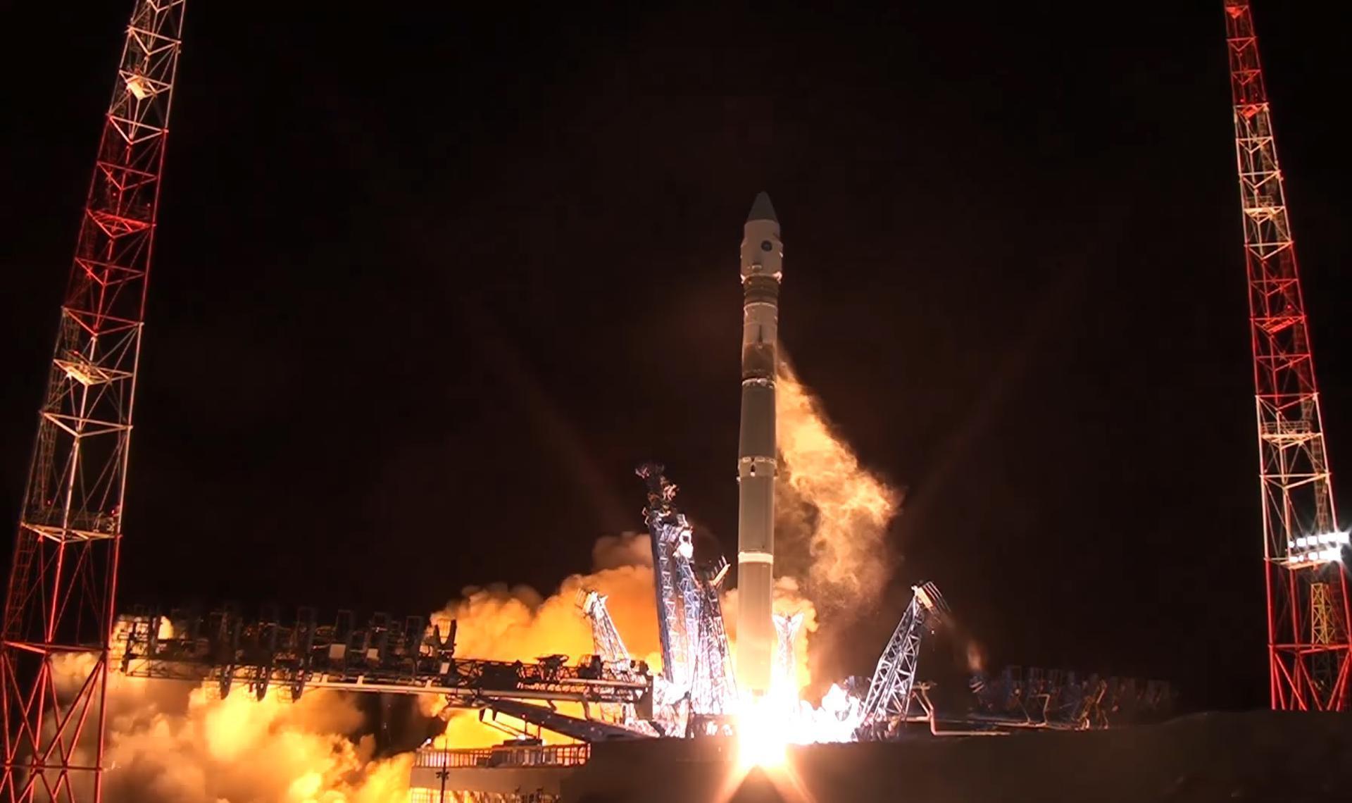
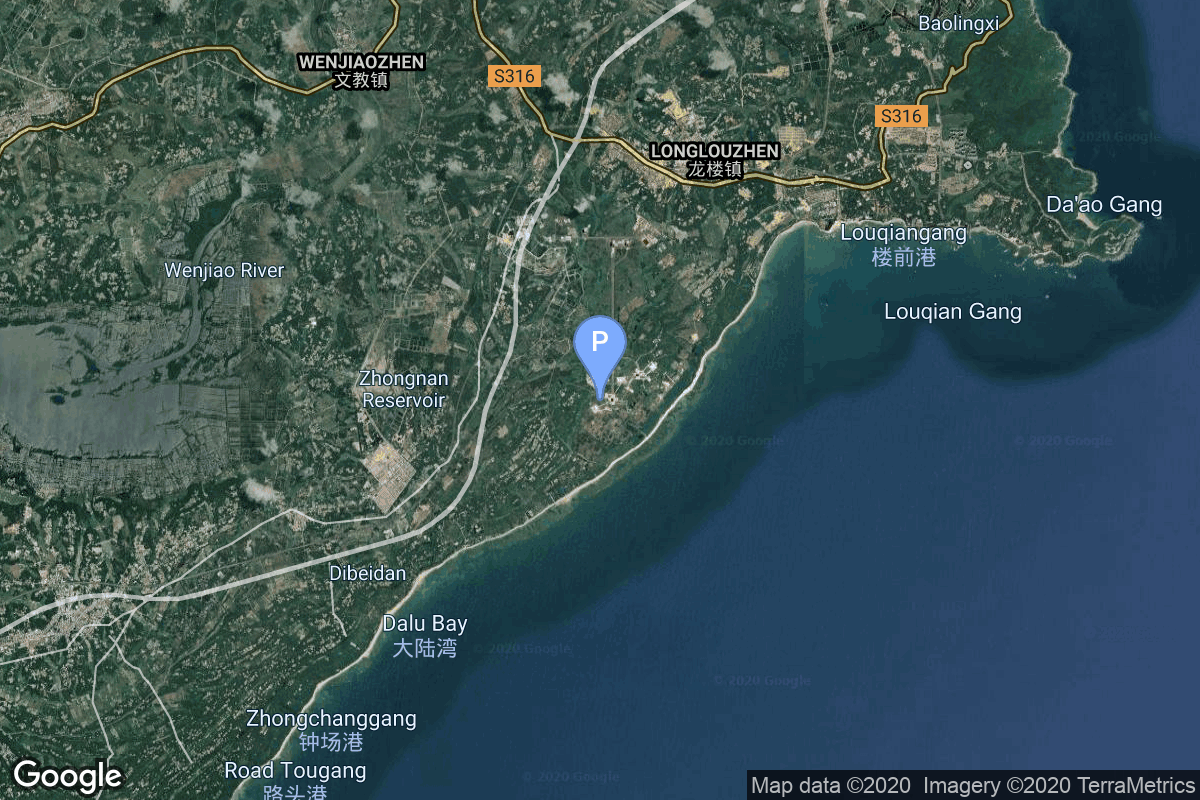
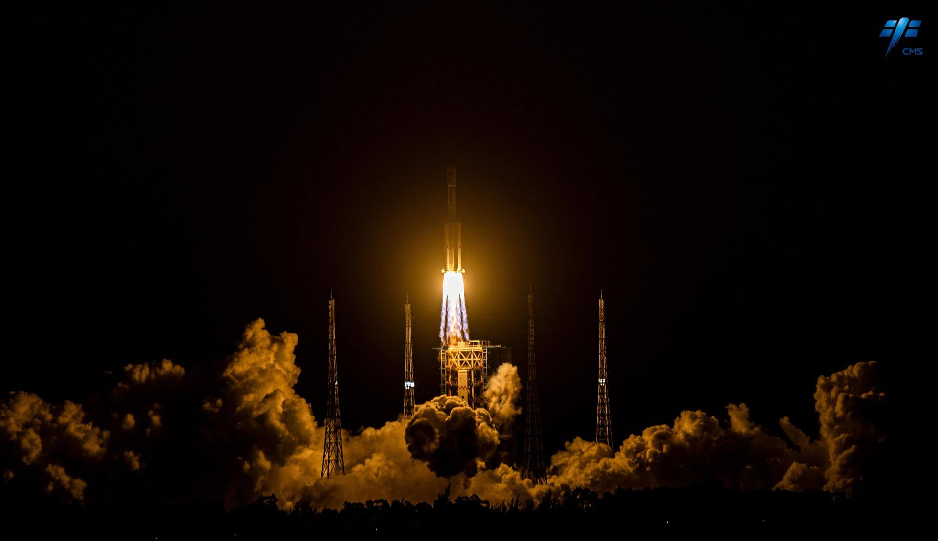
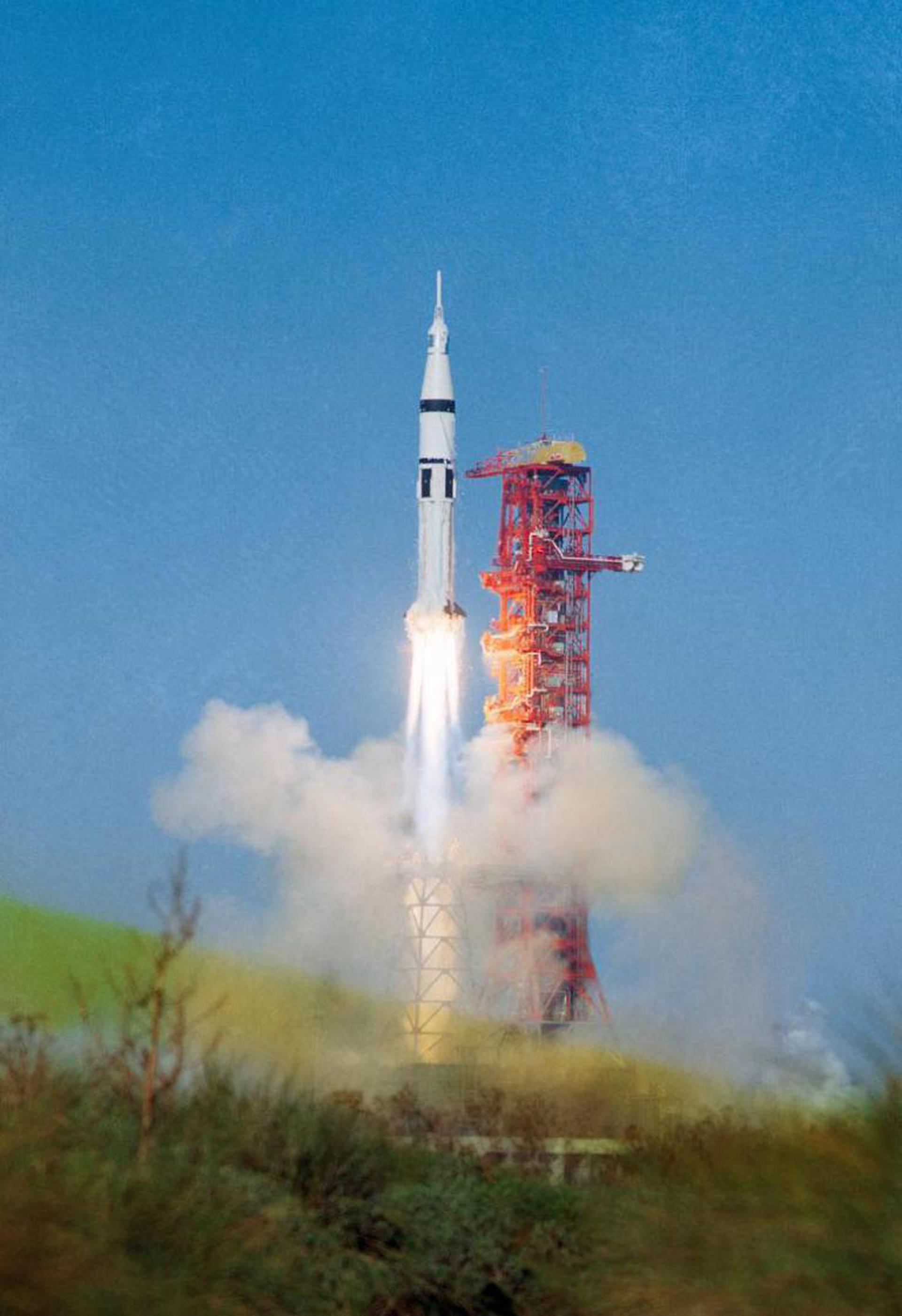
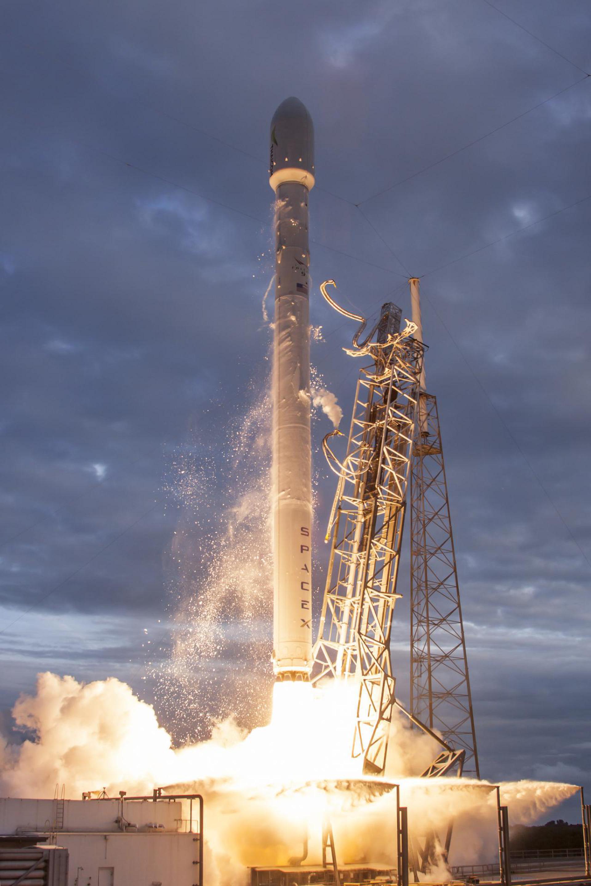
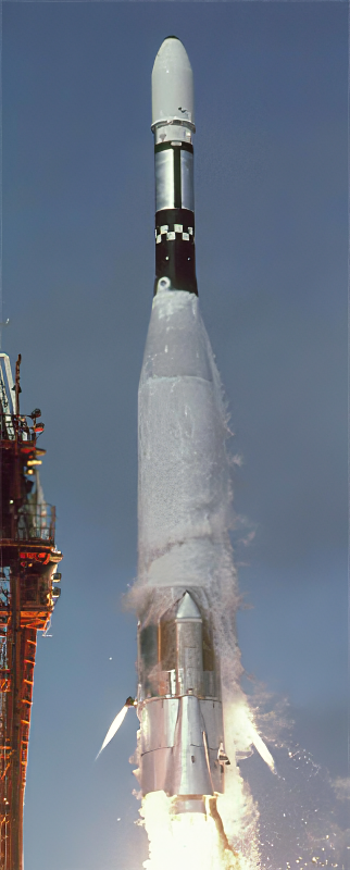
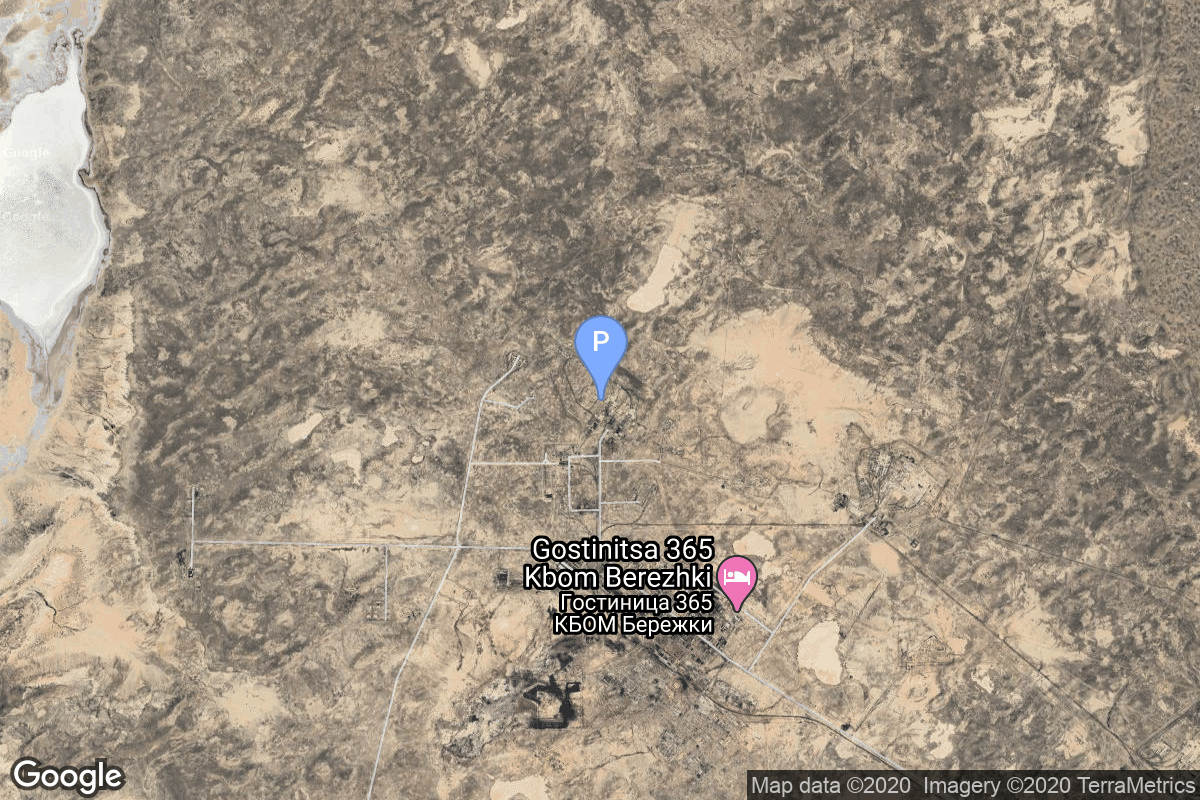
{ "count": 7899, "next": "https://ll.thespacedevs.com/2.2.0/launch/?format=api&limit=10&offset=6990&ordering=id", "previous": "https://ll.thespacedevs.com/2.2.0/launch/?format=api&limit=10&offset=6970&ordering=id", "results": [ { "id": "e1140531-122d-4062-a5a5-194042674121", "url": "https://ll.thespacedevs.com/2.2.0/launch/e1140531-122d-4062-a5a5-194042674121/?format=api", "slug": "soyuz-21v-razbeg-1-kosmos-2551", "name": "Soyuz 2.1v | Razbeg 1 (Kosmos 2551)", "status": { "id": 3, "name": "Launch Successful", "abbrev": "Success", "description": "The launch vehicle successfully inserted its payload(s) into the target orbit(s)." }, "last_updated": "2023-06-14T04:11:07Z", "net": "2021-09-09T19:59:47Z", "window_end": "2021-09-09T21:00:00Z", "window_start": "2021-09-09T19:00:00Z", "net_precision": null, "probability": null, "weather_concerns": null, "holdreason": "", "failreason": "", "hashtag": null, "launch_service_provider": { "id": 193, "url": "https://ll.thespacedevs.com/2.2.0/agencies/193/?format=api", "name": "Russian Space Forces", "type": "Government" }, "rocket": { "id": 2972, "configuration": { "id": 153, "url": "https://ll.thespacedevs.com/2.2.0/config/launcher/153/?format=api", "name": "Soyuz", "family": "Soyuz", "full_name": "Soyuz 2.1v", "variant": "2.1v" } }, "mission": { "id": 1400, "name": "Razbeg 1 (Kosmos 2551)", "description": "The Russian Razbeg 1 is small military satellite optical reconnaissance satellite.\r\n\r\nIt was built by NPP VNIIEM. It is likely the same satellite identified in earlier reports as Zvesda. The 250 kg satellite was reportedly inspired by the US American commercial Earth imaging satellites of the SkySat 1 series. It features a camera built by the Belarusian company OAO Peleng with a maximum ground resolution of 0.9 meters in panchromatic mode.", "launch_designator": null, "type": "Government/Top Secret", "orbit": { "id": 17, "name": "Sun-Synchronous Orbit", "abbrev": "SSO" }, "agencies": [], "info_urls": [], "vid_urls": [] }, "pad": { "id": 85, "url": "https://ll.thespacedevs.com/2.2.0/pad/85/?format=api", "agency_id": 163, "name": "43/4 (43R)", "description": "", "info_url": null, "wiki_url": null, "map_url": "https://www.google.com/maps?q=62.92883,40.457098", "latitude": "62.92883", "longitude": "40.457098", "location": { "id": 6, "url": "https://ll.thespacedevs.com/2.2.0/location/6/?format=api", "name": "Plesetsk Cosmodrome, Russian Federation", "country_code": "RUS", "description": "Plesetsk Cosmodrome is a Russian spaceport located in Mirny, Arkhangelsk Oblast, about 800 km north of Moscow and approximately 200 km south of Arkhangelsk. Originally developed as an ICBM site for the R-7 missile, it also served for numerous satellite launches using the R-7 and other rockets. Its high latitude makes it useful only for certain types of launches, especially the Molniya orbits, so for much of the site's history it functioned as a secondary location, with most orbital launches taking place from Baikonur, in the Kazakh SSR. With the end of the Soviet Union, Baikonur became a foreign territory, and Kazakhstan charged $115 million usage fees annually. Consequently, Plesetsk has seen considerably more activity since the 2000s.", "map_image": "https://thespacedevs-prod.nyc3.digitaloceanspaces.com/media/map_images/location_6_20200803142434.jpg", "timezone_name": "Europe/Moscow", "total_launch_count": 1685, "total_landing_count": 0 }, "country_code": "RUS", "map_image": "https://thespacedevs-prod.nyc3.digitaloceanspaces.com/media/map_images/pad_85_20200803143554.jpg", "total_launch_count": 328, "orbital_launch_attempt_count": 328 }, "webcast_live": false, "image": "https://thespacedevs-prod.nyc3.digitaloceanspaces.com/media/images/soyuz_image_20190222031122.jpeg", "infographic": null, "program": [], "orbital_launch_attempt_count": 6125, "location_launch_attempt_count": 1644, "pad_launch_attempt_count": 306, "agency_launch_attempt_count": 118, "orbital_launch_attempt_count_year": 88, "location_launch_attempt_count_year": 3, "pad_launch_attempt_count_year": 3, "agency_launch_attempt_count_year": 3, "type": "normal" }, { "id": "e11c7aee-b185-49d5-8596-65959d2e009b", "url": "https://ll.thespacedevs.com/2.2.0/launch/e11c7aee-b185-49d5-8596-65959d2e009b/?format=api", "slug": "long-march-7-tianzhou-7", "name": "Long March 7 | Tianzhou-7", "status": { "id": 3, "name": "Launch Successful", "abbrev": "Success", "description": "The launch vehicle successfully inserted its payload(s) into the target orbit(s)." }, "last_updated": "2024-10-30T08:42:02Z", "net": "2024-01-17T14:27:30Z", "window_end": "2024-01-17T14:34:00Z", "window_start": "2024-01-17T14:17:00Z", "net_precision": { "id": 0, "name": "Second", "abbrev": "SEC", "description": "The T-0 is accurate to the second." }, "probability": null, "weather_concerns": null, "holdreason": "", "failreason": "", "hashtag": null, "launch_service_provider": { "id": 88, "url": "https://ll.thespacedevs.com/2.2.0/agencies/88/?format=api", "name": "China Aerospace Science and Technology Corporation", "type": "Government" }, "rocket": { "id": 8103, "configuration": { "id": 100, "url": "https://ll.thespacedevs.com/2.2.0/config/launcher/100/?format=api", "name": "Long March 7", "family": "Long March", "full_name": "Long March 7", "variant": "" } }, "mission": { "id": 6661, "name": "Tianzhou 7", "description": "Sixth cargo delivery mission to the Chinese space station.", "launch_designator": null, "type": "Resupply", "orbit": { "id": 8, "name": "Low Earth Orbit", "abbrev": "LEO" }, "agencies": [ { "id": 17, "url": "https://ll.thespacedevs.com/2.2.0/agencies/17/?format=api", "name": "China National Space Administration", "featured": true, "type": "Government", "country_code": "CHN", "abbrev": "CNSA", "description": "The China National Space Administration (CNSA) is the national space agency of the People's Republic of China. It is responsible for the national space program and for planning and development of space activities. CNSA and China Aerospace Corporation (CASC) assumed the authority over space development efforts previously held by the Ministry of Aerospace Industry. The CNSA has many launch sites around China with their orbital sites located in Jiuquan, Xichang, Taiyuan and Wenchang.", "administrator": "Administrator: Tang Dengjie", "founding_year": "1993", "launchers": "", "spacecraft": "Shenzhou", "launch_library_url": null, "total_launch_count": 2, "consecutive_successful_launches": 2, "successful_launches": 2, "failed_launches": 0, "pending_launches": 0, "consecutive_successful_landings": 0, "successful_landings": 0, "failed_landings": 0, "attempted_landings": 0, "info_url": "https://www.cnsa.gov.cn/", "wiki_url": "https://en.wikipedia.org/wiki/China_National_Space_Administration", "logo_url": "https://thespacedevs-prod.nyc3.digitaloceanspaces.com/media/images/china2520national2520space2520administration_logo_20190207032431.png", "image_url": "https://thespacedevs-prod.nyc3.digitaloceanspaces.com/media/images/china2520national2520space2520administration_image_20190207032431.jpeg", "nation_url": "https://thespacedevs-prod.nyc3.digitaloceanspaces.com/media/images/cnsa_social_log_image_20260504180043.jpg" } ], "info_urls": [], "vid_urls": [] }, "pad": { "id": 176, "url": "https://ll.thespacedevs.com/2.2.0/pad/176/?format=api", "agency_id": null, "name": "201", "description": "", "info_url": null, "wiki_url": "https://en.wikipedia.org/wiki/Wenchang_Spacecraft_Launch_Site", "map_url": "https://www.google.com/maps?q=19.618452,110.955356", "latitude": "19.618452", "longitude": "110.955356", "location": { "id": 8, "url": "https://ll.thespacedevs.com/2.2.0/location/8/?format=api", "name": "Wenchang Space Launch Site, People's Republic of China", "country_code": "CHN", "description": "The Wenchang Space Launch Site is a rocket launch site located in Wenchang on the island of Hainan, in China.\r\n\r\nFormally a suborbital test center, it currently serves as China's southernmost spaceport. The site was selected for its low latitude, 19° north of the equator, allowing for larger payloads to be launched. It is capable of launching the Long March 5, the heaviest Chinese rocket. Unlike launch facilities on the mainland, Wenchang uses its seaport for deliveries.", "map_image": "https://thespacedevs-prod.nyc3.digitaloceanspaces.com/media/map_images/location_8_20200803142445.jpg", "timezone_name": "Asia/Shanghai", "total_launch_count": 64, "total_landing_count": 0 }, "country_code": "CHN", "map_image": "https://thespacedevs-prod.nyc3.digitaloceanspaces.com/media/map_images/pad_176_20200803143412.jpg", "total_launch_count": 30, "orbital_launch_attempt_count": 30 }, "webcast_live": false, "image": "https://thespacedevs-prod.nyc3.digitaloceanspaces.com/media/images/long2520march_image_20240117193513.jpeg", "infographic": null, "program": [ { "id": 19, "url": "https://ll.thespacedevs.com/2.2.0/program/19/?format=api", "name": "Tiangong space station", "description": "The Tiangong space station is a space station placed in Low Earth orbit between 340 and 450 km above the surface.", "agencies": [ { "id": 88, "url": "https://ll.thespacedevs.com/2.2.0/agencies/88/?format=api", "name": "China Aerospace Science and Technology Corporation", "type": "Government" } ], "image_url": "https://thespacedevs-prod.nyc3.digitaloceanspaces.com/media/images/chinese2520spa_program_20210608105528.png", "start_date": "2021-04-29T03:23:00Z", "end_date": null, "info_url": null, "wiki_url": "https://en.wikipedia.org/wiki/Tiangong_space_station", "mission_patches": [], "type": { "id": 2, "name": "Human Spaceflight" } } ], "orbital_launch_attempt_count": 6602, "location_launch_attempt_count": 26, "pad_launch_attempt_count": 16, "agency_launch_attempt_count": 454, "orbital_launch_attempt_count_year": 13, "location_launch_attempt_count_year": 1, "pad_launch_attempt_count_year": 1, "agency_launch_attempt_count_year": 2, "type": "normal" }, { "id": "e12037ec-1b69-476f-9280-c9dd0991cf99", "url": "https://ll.thespacedevs.com/2.2.0/launch/e12037ec-1b69-476f-9280-c9dd0991cf99/?format=api", "slug": "saturn-ib-apollo-as-203", "name": "Saturn IB | Apollo AS-203", "status": { "id": 3, "name": "Launch Successful", "abbrev": "Success", "description": "The launch vehicle successfully inserted its payload(s) into the target orbit(s)." }, "last_updated": "2023-06-14T17:43:30Z", "net": "1966-07-05T14:53:17Z", "window_end": "1966-07-05T14:53:17Z", "window_start": "1966-07-05T14:53:17Z", "net_precision": null, "probability": null, "weather_concerns": null, "holdreason": "", "failreason": "", "hashtag": null, "launch_service_provider": { "id": 44, "url": "https://ll.thespacedevs.com/2.2.0/agencies/44/?format=api", "name": "National Aeronautics and Space Administration", "type": "Government" }, "rocket": { "id": 3545, "configuration": { "id": 163, "url": "https://ll.thespacedevs.com/2.2.0/config/launcher/163/?format=api", "name": "Saturn IB", "family": "Saturn", "full_name": "Saturn IB", "variant": "IB" } }, "mission": { "id": 1965, "name": "Apollo AS-203", "description": "The purpose of Apollo 203 was to check out the behaviour of the fuel inside the Saturn-4B stage in weightlessness, which was crucial to allow the reignition of the stage.", "launch_designator": null, "type": "Test Flight", "orbit": { "id": 8, "name": "Low Earth Orbit", "abbrev": "LEO" }, "agencies": [], "info_urls": [], "vid_urls": [] }, "pad": { "id": 38, "url": "https://ll.thespacedevs.com/2.2.0/pad/38/?format=api", "agency_id": null, "name": "Space Launch Complex 37B", "description": "", "info_url": null, "wiki_url": "https://en.wikipedia.org/wiki/Cape_Canaveral_Air_Force_Station_Space_Launch_Complex_37", "map_url": "https://www.google.com/maps?q=28.5317,-80.56495", "latitude": "28.5317", "longitude": "-80.56495", "location": { "id": 12, "url": "https://ll.thespacedevs.com/2.2.0/location/12/?format=api", "name": "Cape Canaveral SFS, FL, USA", "country_code": "USA", "description": "Cape Canaveral Space Force Station (CCSFS) is an installation of the United States Space Force's Space Launch Delta 45, located on Cape Canaveral in Brevard County, Florida.", "map_image": "https://thespacedevs-prod.nyc3.digitaloceanspaces.com/media/map_images/location_12_20200803142519.jpg", "timezone_name": "America/New_York", "total_launch_count": 1113, "total_landing_count": 75 }, "country_code": "USA", "map_image": "https://thespacedevs-prod.nyc3.digitaloceanspaces.com/media/map_images/pad_38_20200803143515.jpg", "total_launch_count": 40, "orbital_launch_attempt_count": 40 }, "webcast_live": false, "image": "https://thespacedevs-prod.nyc3.digitaloceanspaces.com/media/images/saturn2520ib_image_20190222030046.jpeg", "infographic": null, "program": [ { "id": 4, "url": "https://ll.thespacedevs.com/2.2.0/program/4/?format=api", "name": "Apollo", "description": "The Apollo program was the third United States human spaceflight program carried out by the National Aeronautics and Space Administration (NASA), which succeeded in landing the first humans on the Moon from 1969 to 1972.", "agencies": [ { "id": 44, "url": "https://ll.thespacedevs.com/2.2.0/agencies/44/?format=api", "name": "National Aeronautics and Space Administration", "type": "Government" } ], "image_url": "https://thespacedevs-prod.nyc3.digitaloceanspaces.com/media/images/apollo_program_20200820200202.png", "start_date": "1966-11-16T00:00:00Z", "end_date": "1972-12-19T19:24:59Z", "info_url": "https://www.nasa.gov/mission_pages/apollo/index.html", "wiki_url": "https://en.wikipedia.org/wiki/Apollo_program", "mission_patches": [], "type": { "id": 2, "name": "Human Spaceflight" } } ], "orbital_launch_attempt_count": 583, "location_launch_attempt_count": 175, "pad_launch_attempt_count": 7, "agency_launch_attempt_count": 81, "orbital_launch_attempt_count_year": 66, "location_launch_attempt_count_year": 16, "pad_launch_attempt_count_year": 1, "agency_launch_attempt_count_year": 7, "type": "normal" }, { "id": "e12d20b3-8b5c-4dcf-a635-f6106ee784bc", "url": "https://ll.thespacedevs.com/2.2.0/launch/e12d20b3-8b5c-4dcf-a635-f6106ee784bc/?format=api", "slug": "falcon-9-v11-cassiope", "name": "Falcon 9 v1.1 | CASSIOPE", "status": { "id": 3, "name": "Launch Successful", "abbrev": "Success", "description": "The launch vehicle successfully inserted its payload(s) into the target orbit(s)." }, "last_updated": "2024-06-15T14:03:32Z", "net": "2013-09-29T16:00:13Z", "window_end": "2013-09-29T16:00:13Z", "window_start": "2013-09-29T16:00:13Z", "net_precision": { "id": 0, "name": "Second", "abbrev": "SEC", "description": "The T-0 is accurate to the second." }, "probability": null, "weather_concerns": null, "holdreason": "", "failreason": "", "hashtag": null, "launch_service_provider": { "id": 121, "url": "https://ll.thespacedevs.com/2.2.0/agencies/121/?format=api", "name": "SpaceX", "type": "Commercial" }, "rocket": { "id": 1707, "configuration": { "id": 14, "url": "https://ll.thespacedevs.com/2.2.0/config/launcher/14/?format=api", "name": "Falcon 9", "family": "Falcon", "full_name": "Falcon 9 v1.1", "variant": "v1.1" } }, "mission": { "id": 16, "name": "CASSIOPE", "description": "CASSIOPE (Cascade SmallSat and Ionospheric Polar Explorer) is a small satellite mission for Canadian Space Agency to feature the first in a new generation of multi-purpose satellite platforms. It is tasked with a dual mission on scientific research and telecommunications.", "launch_designator": null, "type": "Earth Science", "orbit": { "id": 8, "name": "Low Earth Orbit", "abbrev": "LEO" }, "agencies": [], "info_urls": [], "vid_urls": [] }, "pad": { "id": 16, "url": "https://ll.thespacedevs.com/2.2.0/pad/16/?format=api", "agency_id": null, "name": "Space Launch Complex 4E", "description": "Space Launch Complex 4 East (SLC-4E) is a launch site at Vandenberg Space Force Base, California, U.S.\r\n\r\nThe pad was previously used by Atlas and Titan rockets between 1963 and 2005. The pad was built for use by Atlas-Agena rockets, but was later rebuilt to handle Titan rockets.", "info_url": null, "wiki_url": "https://en.wikipedia.org/wiki/Vandenberg_Space_Launch_Complex_4#SLC-4E", "map_url": "https://www.google.com/maps?q=34.632,-120.611", "latitude": "34.632", "longitude": "-120.611", "location": { "id": 11, "url": "https://ll.thespacedevs.com/2.2.0/location/11/?format=api", "name": "Vandenberg SFB, CA, USA", "country_code": "USA", "description": "Vandenberg Space Force Base is a United States Space Force Base in Santa Barbara County, California. Established in 1941, Vandenberg Space Force Base is a space launch base, launching spacecraft from the Western Range, and also performs missile testing. The United States Space Force's Space Launch Delta 30 serves as the host delta for the base, equivalent to an Air Force air base wing. In addition to its military space launch mission, Vandenberg Space Force Base also hosts space launches for civil and commercial space entities, such as NASA and SpaceX.", "map_image": "https://thespacedevs-prod.nyc3.digitaloceanspaces.com/media/map_images/location_11_20200803142416.jpg", "timezone_name": "America/Los_Angeles", "total_launch_count": 889, "total_landing_count": 34 }, "country_code": "USA", "map_image": "https://thespacedevs-prod.nyc3.digitaloceanspaces.com/media/map_images/pad_16_20200803143532.jpg", "total_launch_count": 273, "orbital_launch_attempt_count": 273 }, "webcast_live": false, "image": "https://thespacedevs-prod.nyc3.digitaloceanspaces.com/media/images/falcon252092520v1.1_image_20190222030927.jpeg", "infographic": null, "program": [], "orbital_launch_attempt_count": 5325, "location_launch_attempt_count": 655, "pad_launch_attempt_count": 69, "agency_launch_attempt_count": 11, "orbital_launch_attempt_count_year": 57, "location_launch_attempt_count_year": 3, "pad_launch_attempt_count_year": 1, "agency_launch_attempt_count_year": 2, "type": "normal" }, { "id": "e133401c-9341-4071-995b-4a256b24fb4c", "url": "https://ll.thespacedevs.com/2.2.0/launch/e133401c-9341-4071-995b-4a256b24fb4c/?format=api", "slug": "soyuz-u-zenit-2m-70", "name": "Soyuz U | Zenit-2M 70", "status": { "id": 3, "name": "Launch Successful", "abbrev": "Success", "description": "The launch vehicle successfully inserted its payload(s) into the target orbit(s)." }, "last_updated": "2023-06-14T03:51:43Z", "net": "1976-08-12T13:30:00Z", "window_end": "1976-08-12T13:30:00Z", "window_start": "1976-08-12T13:30:00Z", "net_precision": null, "probability": null, "weather_concerns": null, "holdreason": "", "failreason": null, "hashtag": null, "launch_service_provider": { "id": 66, "url": "https://ll.thespacedevs.com/2.2.0/agencies/66/?format=api", "name": "Soviet Space Program", "type": "Government" }, "rocket": { "id": 4745, "configuration": { "id": 37, "url": "https://ll.thespacedevs.com/2.2.0/config/launcher/37/?format=api", "name": "Soyuz U", "family": "Soyuz", "full_name": "Soyuz U", "variant": "" } }, "mission": { "id": 3163, "name": "Zenit-2M 70", "description": "The soviet Zenit-2M (Gektor, 11F690) was an improved version of the Zenit-2 area surveillance reconnaissance satellite. It was part of the Vostok-based Zenit-family.", "launch_designator": null, "type": "Government/Top Secret", "orbit": { "id": 8, "name": "Low Earth Orbit", "abbrev": "LEO" }, "agencies": [], "info_urls": [], "vid_urls": [] }, "pad": { "id": 36, "url": "https://ll.thespacedevs.com/2.2.0/pad/36/?format=api", "agency_id": 163, "name": "43/3 (43L)", "description": "", "info_url": null, "wiki_url": null, "map_url": "https://www.google.com/maps?q=62.9273,40.45", "latitude": "62.9273", "longitude": "40.45", "location": { "id": 6, "url": "https://ll.thespacedevs.com/2.2.0/location/6/?format=api", "name": "Plesetsk Cosmodrome, Russian Federation", "country_code": "RUS", "description": "Plesetsk Cosmodrome is a Russian spaceport located in Mirny, Arkhangelsk Oblast, about 800 km north of Moscow and approximately 200 km south of Arkhangelsk. Originally developed as an ICBM site for the R-7 missile, it also served for numerous satellite launches using the R-7 and other rockets. Its high latitude makes it useful only for certain types of launches, especially the Molniya orbits, so for much of the site's history it functioned as a secondary location, with most orbital launches taking place from Baikonur, in the Kazakh SSR. With the end of the Soviet Union, Baikonur became a foreign territory, and Kazakhstan charged $115 million usage fees annually. Consequently, Plesetsk has seen considerably more activity since the 2000s.", "map_image": "https://thespacedevs-prod.nyc3.digitaloceanspaces.com/media/map_images/location_6_20200803142434.jpg", "timezone_name": "Europe/Moscow", "total_launch_count": 1685, "total_landing_count": 0 }, "country_code": "RUS", "map_image": "https://thespacedevs-prod.nyc3.digitaloceanspaces.com/media/map_images/pad_36_20200803143534.jpg", "total_launch_count": 232, "orbital_launch_attempt_count": 232 }, "webcast_live": false, "image": "https://thespacedevs-prod.nyc3.digitaloceanspaces.com/media/images/soyuz2520u_image_20190222031023.jpeg", "infographic": null, "program": [], "orbital_launch_attempt_count": 1866, "location_launch_attempt_count": 499, "pad_launch_attempt_count": 50, "agency_launch_attempt_count": 1039, "orbital_launch_attempt_count_year": 83, "location_launch_attempt_count_year": 41, "pad_launch_attempt_count_year": 12, "agency_launch_attempt_count_year": 60, "type": "normal" }, { "id": "e134331c-95aa-4429-ad2b-67628267168d", "url": "https://ll.thespacedevs.com/2.2.0/launch/e134331c-95aa-4429-ad2b-67628267168d/?format=api", "slug": "atlas-agena-d-kh-7-8", "name": "Atlas Agena D | KH-7 8", "status": { "id": 3, "name": "Launch Successful", "abbrev": "Success", "description": "The launch vehicle successfully inserted its payload(s) into the target orbit(s)." }, "last_updated": "2023-06-14T04:26:26Z", "net": "1964-05-19T19:21:14Z", "window_end": "1964-05-19T19:21:14Z", "window_start": "1964-05-19T19:21:14Z", "net_precision": null, "probability": null, "weather_concerns": null, "holdreason": "", "failreason": null, "hashtag": null, "launch_service_provider": { "id": 161, "url": "https://ll.thespacedevs.com/2.2.0/agencies/161/?format=api", "name": "United States Air Force", "type": "Government" }, "rocket": { "id": 3279, "configuration": { "id": 232, "url": "https://ll.thespacedevs.com/2.2.0/config/launcher/232/?format=api", "name": "Atlas Agena D", "family": "Atlas", "full_name": "Atlas LV-3 Agena D", "variant": "Agena D" } }, "mission": { "id": 1701, "name": "KH-7 8", "description": "The Program 206 satellite, carrying the KH-7 (Keyhole 7) camera system (codenamed Gambit-1), was the first successful high resolution space reconnaissance program. It was managed by NRO's Program A, the USAF-led segment of the National Reconnaissance Program managed from Los Angeles AFB in El Segundo, California.", "launch_designator": null, "type": "Government/Top Secret", "orbit": { "id": 17, "name": "Sun-Synchronous Orbit", "abbrev": "SSO" }, "agencies": [], "info_urls": [], "vid_urls": [] }, "pad": { "id": 156, "url": "https://ll.thespacedevs.com/2.2.0/pad/156/?format=api", "agency_id": null, "name": "Space Launch Complex 4W", "description": "SLC-4W started operations in 1963 as Space Launch Complex 4W, and continued as an operational launch site through 2003. In 2015, SpaceX started conversion of the launch site into Landing Zone LZ-4. Landing operations commenced in 2018 at LZ-4.", "info_url": "https://www.astronautix.com/v/vandenbergslc4w.html", "wiki_url": "https://en.wikipedia.org/wiki/Vandenberg_Air_Force_Base_Space_Launch_Complex_4#SLC-4W", "map_url": "https://www.google.com/maps?q=34.63312,-120.61584", "latitude": "34.63312", "longitude": "-120.61584", "location": { "id": 11, "url": "https://ll.thespacedevs.com/2.2.0/location/11/?format=api", "name": "Vandenberg SFB, CA, USA", "country_code": "USA", "description": "Vandenberg Space Force Base is a United States Space Force Base in Santa Barbara County, California. Established in 1941, Vandenberg Space Force Base is a space launch base, launching spacecraft from the Western Range, and also performs missile testing. The United States Space Force's Space Launch Delta 30 serves as the host delta for the base, equivalent to an Air Force air base wing. In addition to its military space launch mission, Vandenberg Space Force Base also hosts space launches for civil and commercial space entities, such as NASA and SpaceX.", "map_image": "https://thespacedevs-prod.nyc3.digitaloceanspaces.com/media/map_images/location_11_20200803142416.jpg", "timezone_name": "America/Los_Angeles", "total_launch_count": 889, "total_landing_count": 34 }, "country_code": "USA", "map_image": "https://thespacedevs-prod.nyc3.digitaloceanspaces.com/media/map_images/pad_156_20200803143351.jpg", "total_launch_count": 93, "orbital_launch_attempt_count": 93 }, "webcast_live": false, "image": "https://thespacedevs-prod.nyc3.digitaloceanspaces.com/media/images/atlas-lv3_agena_image_20251128090110.png", "infographic": null, "program": [], "orbital_launch_attempt_count": 323, "location_launch_attempt_count": 129, "pad_launch_attempt_count": 8, "agency_launch_attempt_count": 192, "orbital_launch_attempt_count_year": 30, "location_launch_attempt_count_year": 12, "pad_launch_attempt_count_year": 4, "agency_launch_attempt_count_year": 17, "type": "normal" }, { "id": "e13c1c6c-3e85-4a0d-8202-0d50e5ad407c", "url": "https://ll.thespacedevs.com/2.2.0/launch/e13c1c6c-3e85-4a0d-8202-0d50e5ad407c/?format=api", "slug": "voskhod-zenit-4-40", "name": "Voskhod | Zenit-4 40", "status": { "id": 3, "name": "Launch Successful", "abbrev": "Success", "description": "The launch vehicle successfully inserted its payload(s) into the target orbit(s)." }, "last_updated": "2023-06-14T04:29:10Z", "net": "1968-04-18T10:30:01Z", "window_end": "1968-04-18T10:30:01Z", "window_start": "1968-04-18T10:30:01Z", "net_precision": null, "probability": null, "weather_concerns": null, "holdreason": "", "failreason": null, "hashtag": null, "launch_service_provider": { "id": 66, "url": "https://ll.thespacedevs.com/2.2.0/agencies/66/?format=api", "name": "Soviet Space Program", "type": "Government" }, "rocket": { "id": 3771, "configuration": { "id": 104, "url": "https://ll.thespacedevs.com/2.2.0/config/launcher/104/?format=api", "name": "Voskhod", "family": "R-7", "full_name": "Voskhod", "variant": "Voskhod" } }, "mission": { "id": 2189, "name": "Zenit-4 40", "description": "Zenit-4 film-return reconnaissance satellite.", "launch_designator": null, "type": "Government/Top Secret", "orbit": { "id": 8, "name": "Low Earth Orbit", "abbrev": "LEO" }, "agencies": [], "info_urls": [], "vid_urls": [] }, "pad": { "id": 168, "url": "https://ll.thespacedevs.com/2.2.0/pad/168/?format=api", "agency_id": null, "name": "41/1", "description": null, "info_url": null, "wiki_url": "https://en.wikipedia.org/wiki/Plesetsk_Cosmodrome", "map_url": "https://www.google.com/maps?q=62.941,40.526806", "latitude": "62.941", "longitude": "40.526806", "location": { "id": 6, "url": "https://ll.thespacedevs.com/2.2.0/location/6/?format=api", "name": "Plesetsk Cosmodrome, Russian Federation", "country_code": "RUS", "description": "Plesetsk Cosmodrome is a Russian spaceport located in Mirny, Arkhangelsk Oblast, about 800 km north of Moscow and approximately 200 km south of Arkhangelsk. Originally developed as an ICBM site for the R-7 missile, it also served for numerous satellite launches using the R-7 and other rockets. Its high latitude makes it useful only for certain types of launches, especially the Molniya orbits, so for much of the site's history it functioned as a secondary location, with most orbital launches taking place from Baikonur, in the Kazakh SSR. With the end of the Soviet Union, Baikonur became a foreign territory, and Kazakhstan charged $115 million usage fees annually. Consequently, Plesetsk has seen considerably more activity since the 2000s.", "map_image": "https://thespacedevs-prod.nyc3.digitaloceanspaces.com/media/map_images/location_6_20200803142434.jpg", "timezone_name": "Europe/Moscow", "total_launch_count": 1685, "total_landing_count": 0 }, "country_code": "RUS", "map_image": "https://thespacedevs-prod.nyc3.digitaloceanspaces.com/media/map_images/pad_168_20200803143446.jpg", "total_launch_count": 310, "orbital_launch_attempt_count": 310 }, "webcast_live": false, "image": "https://thespacedevs-prod.nyc3.digitaloceanspaces.com/media/images/voskhod_during__image_20251102062248.jpg", "infographic": null, "program": [], "orbital_launch_attempt_count": 822, "location_launch_attempt_count": 47, "pad_launch_attempt_count": 32, "agency_launch_attempt_count": 309, "orbital_launch_attempt_count_year": 34, "location_launch_attempt_count_year": 10, "pad_launch_attempt_count_year": 6, "agency_launch_attempt_count_year": 20, "type": "normal" }, { "id": "e13c7e13-78f3-4bf1-8ec8-637dee42d645", "url": "https://ll.thespacedevs.com/2.2.0/launch/e13c7e13-78f3-4bf1-8ec8-637dee42d645/?format=api", "slug": "kosmos-11k63-ds-p1-yu-36", "name": "Kosmos 11K63 | DS-P1-Yu 36", "status": { "id": 3, "name": "Launch Successful", "abbrev": "Success", "description": "The launch vehicle successfully inserted its payload(s) into the target orbit(s)." }, "last_updated": "2023-06-14T03:31:48Z", "net": "1970-10-08T15:10:03Z", "window_end": "1970-10-08T15:10:03Z", "window_start": "1970-10-08T15:10:03Z", "net_precision": null, "probability": null, "weather_concerns": null, "holdreason": "", "failreason": null, "hashtag": null, "launch_service_provider": { "id": 66, "url": "https://ll.thespacedevs.com/2.2.0/agencies/66/?format=api", "name": "Soviet Space Program", "type": "Government" }, "rocket": { "id": 4057, "configuration": { "id": 327, "url": "https://ll.thespacedevs.com/2.2.0/config/launcher/327/?format=api", "name": "Kosmos 11K63", "family": "Kosmos", "full_name": "Kosmos 11K63", "variant": "11K63" } }, "mission": { "id": 2475, "name": "DS-P1-Yu 36", "description": "The DS-P1-Yu series of satellites was used to calibrate space surveillance and early warning radars.", "launch_designator": null, "type": "Test Target", "orbit": { "id": 8, "name": "Low Earth Orbit", "abbrev": "LEO" }, "agencies": [], "info_urls": [], "vid_urls": [] }, "pad": { "id": 3, "url": "https://ll.thespacedevs.com/2.2.0/pad/3/?format=api", "agency_id": 163, "name": "133/3 (133L)", "description": null, "info_url": null, "wiki_url": "", "map_url": "https://www.google.com/maps?q=62.886999,40.846984", "latitude": "62.886999", "longitude": "40.846984", "location": { "id": 6, "url": "https://ll.thespacedevs.com/2.2.0/location/6/?format=api", "name": "Plesetsk Cosmodrome, Russian Federation", "country_code": "RUS", "description": "Plesetsk Cosmodrome is a Russian spaceport located in Mirny, Arkhangelsk Oblast, about 800 km north of Moscow and approximately 200 km south of Arkhangelsk. Originally developed as an ICBM site for the R-7 missile, it also served for numerous satellite launches using the R-7 and other rockets. Its high latitude makes it useful only for certain types of launches, especially the Molniya orbits, so for much of the site's history it functioned as a secondary location, with most orbital launches taking place from Baikonur, in the Kazakh SSR. With the end of the Soviet Union, Baikonur became a foreign territory, and Kazakhstan charged $115 million usage fees annually. Consequently, Plesetsk has seen considerably more activity since the 2000s.", "map_image": "https://thespacedevs-prod.nyc3.digitaloceanspaces.com/media/map_images/location_6_20200803142434.jpg", "timezone_name": "Europe/Moscow", "total_launch_count": 1685, "total_landing_count": 0 }, "country_code": "RUS", "map_image": "https://thespacedevs-prod.nyc3.digitaloceanspaces.com/media/map_images/pad_3_20200803143438.jpg", "total_launch_count": 159, "orbital_launch_attempt_count": 159 }, "webcast_live": false, "image": "https://thespacedevs-prod.nyc3.digitaloceanspaces.com/media/images/kosmos_11k63_image_20251104091702.jpg", "infographic": null, "program": [], "orbital_launch_attempt_count": 1136, "location_launch_attempt_count": 146, "pad_launch_attempt_count": 38, "agency_launch_attempt_count": 514, "orbital_launch_attempt_count_year": 90, "location_launch_attempt_count_year": 38, "pad_launch_attempt_count_year": 13, "agency_launch_attempt_count_year": 61, "type": "normal" }, { "id": "e1458af8-81dc-4ff4-8ac8-05536f1a3c7b", "url": "https://ll.thespacedevs.com/2.2.0/launch/e1458af8-81dc-4ff4-8ac8-05536f1a3c7b/?format=api", "slug": "tsiklon-2-us-p-17", "name": "Tsiklon-2 | US-P 17", "status": { "id": 3, "name": "Launch Successful", "abbrev": "Success", "description": "The launch vehicle successfully inserted its payload(s) into the target orbit(s)." }, "last_updated": "2023-06-14T04:24:15Z", "net": "1983-10-29T08:30:00Z", "window_end": "1983-10-29T08:30:00Z", "window_start": "1983-10-29T08:30:00Z", "net_precision": null, "probability": null, "weather_concerns": null, "holdreason": "", "failreason": null, "hashtag": null, "launch_service_provider": { "id": 66, "url": "https://ll.thespacedevs.com/2.2.0/agencies/66/?format=api", "name": "Soviet Space Program", "type": "Government" }, "rocket": { "id": 5577, "configuration": { "id": 443, "url": "https://ll.thespacedevs.com/2.2.0/config/launcher/443/?format=api", "name": "Tsiklon-2", "family": "Tsiklon", "full_name": "Tsiklon-2", "variant": "2" } }, "mission": { "id": 3980, "name": "US-P 17", "description": "Ocean surveillance satellite using passive ELINT devices", "launch_designator": null, "type": "Government/Top Secret", "orbit": { "id": 8, "name": "Low Earth Orbit", "abbrev": "LEO" }, "agencies": [], "info_urls": [], "vid_urls": [] }, "pad": { "id": 132, "url": "https://ll.thespacedevs.com/2.2.0/pad/132/?format=api", "agency_id": null, "name": "90", "description": null, "info_url": null, "wiki_url": "https://en.wikipedia.org/wiki/Baikonur_Cosmodrome_Site_90", "map_url": "https://www.google.com/maps?q=46.081,62.929806", "latitude": "46.081", "longitude": "62.929806", "location": { "id": 15, "url": "https://ll.thespacedevs.com/2.2.0/location/15/?format=api", "name": "Baikonur Cosmodrome, Republic of Kazakhstan", "country_code": "KAZ", "description": "The Baikonur Cosmodrome is a spaceport operated by Russia within Kazakhstan. Located in the Kazakh city of Baikonur, it is the largest operational space launch facility in terms of area. All Russian crewed spaceflights are launched from Baikonur.", "map_image": "https://thespacedevs-prod.nyc3.digitaloceanspaces.com/media/map_images/location_15_20200803142517.jpg", "timezone_name": "Asia/Qyzylorda", "total_launch_count": 1563, "total_landing_count": 0 }, "country_code": "KAZ", "map_image": "https://thespacedevs-prod.nyc3.digitaloceanspaces.com/media/map_images/pad_132_20200803143344.jpg", "total_launch_count": 74, "orbital_launch_attempt_count": 74 }, "webcast_live": false, "image": "https://thespacedevs-prod.nyc3.digitaloceanspaces.com/media/images/tsyklon-2_lifto_image_20240411113159.jpg", "infographic": null, "program": [], "orbital_launch_attempt_count": 2758, "location_launch_attempt_count": 691, "pad_launch_attempt_count": 43, "agency_launch_attempt_count": 1744, "orbital_launch_attempt_count_year": 112, "location_launch_attempt_count_year": 30, "pad_launch_attempt_count_year": 2, "agency_launch_attempt_count_year": 85, "type": "normal" }, { "id": "e14dbc20-f4fb-41d1-a5c0-24bc422e725a", "url": "https://ll.thespacedevs.com/2.2.0/launch/e14dbc20-f4fb-41d1-a5c0-24bc422e725a/?format=api", "slug": "atlas-e-noaa-11", "name": "Atlas E | NOAA 11", "status": { "id": 3, "name": "Launch Successful", "abbrev": "Success", "description": "The launch vehicle successfully inserted its payload(s) into the target orbit(s)." }, "last_updated": "2023-06-14T04:18:01Z", "net": "1988-09-24T10:02:00Z", "window_end": "1988-09-24T10:02:00Z", "window_start": "1988-09-24T10:02:00Z", "net_precision": null, "probability": null, "weather_concerns": null, "holdreason": "", "failreason": null, "hashtag": null, "launch_service_provider": { "id": 161, "url": "https://ll.thespacedevs.com/2.2.0/agencies/161/?format=api", "name": "United States Air Force", "type": "Government" }, "rocket": { "id": 6115, "configuration": { "id": 238, "url": "https://ll.thespacedevs.com/2.2.0/config/launcher/238/?format=api", "name": "Atlas E", "family": "Atlas", "full_name": "SM-65E Atlas", "variant": "E" } }, "mission": { "id": 4505, "name": "NOAA 11", "description": "Fourth generation NOAA meteorological satellite", "launch_designator": null, "type": "Earth Science", "orbit": { "id": 1, "name": "Geostationary Orbit", "abbrev": "Direct-GEO" }, "agencies": [], "info_urls": [], "vid_urls": [] }, "pad": { "id": 93, "url": "https://ll.thespacedevs.com/2.2.0/pad/93/?format=api", "agency_id": 161, "name": "Space Launch Complex 3W", "description": "SLC-3W was originally built for Atlas-Agena launches and the first flight off the pad was the launch of Samos 1 on October 11, 1960. The facility was extensively damaged 11 months later when Samos 3's booster exploded on the pad, but it was repaired quickly and hosted its next launch slightly under two months afterwards.\r\n\r\nIn 1962-63, the pad was converted for Thor-Agena use and was the primary launching site for Corona reconnaissance satellites for the next decade. After the Corona program ended in 1972, SLC-3W was converted back to support Atlases, this time flights of refurbished Atlas E/F missiles. The final such launch took place in 1995.\r\n\r\nSpaceX initially planned to use SLC-3W for the Falcon 1 launch vehicle but switched to SLC-4E with Falcon 9.", "info_url": null, "wiki_url": "https://en.wikipedia.org/wiki/Vandenberg_Space_Launch_Complex_3#SLC-3W", "map_url": "https://www.google.com/maps?q=34.644,-120.593", "latitude": "34.644", "longitude": "-120.593", "location": { "id": 11, "url": "https://ll.thespacedevs.com/2.2.0/location/11/?format=api", "name": "Vandenberg SFB, CA, USA", "country_code": "USA", "description": "Vandenberg Space Force Base is a United States Space Force Base in Santa Barbara County, California. Established in 1941, Vandenberg Space Force Base is a space launch base, launching spacecraft from the Western Range, and also performs missile testing. The United States Space Force's Space Launch Delta 30 serves as the host delta for the base, equivalent to an Air Force air base wing. In addition to its military space launch mission, Vandenberg Space Force Base also hosts space launches for civil and commercial space entities, such as NASA and SpaceX.", "map_image": "https://thespacedevs-prod.nyc3.digitaloceanspaces.com/media/map_images/location_11_20200803142416.jpg", "timezone_name": "America/Los_Angeles", "total_launch_count": 889, "total_landing_count": 34 }, "country_code": "USA", "map_image": "https://thespacedevs-prod.nyc3.digitaloceanspaces.com/media/map_images/pad_93_20200803143225.jpg", "total_launch_count": 81, "orbital_launch_attempt_count": 81 }, "webcast_live": false, "image": null, "infographic": null, "program": [], "orbital_launch_attempt_count": 3346, "location_launch_attempt_count": 538, "pad_launch_attempt_count": 73, "agency_launch_attempt_count": 862, "orbital_launch_attempt_count_year": 93, "location_launch_attempt_count_year": 6, "pad_launch_attempt_count_year": 2, "agency_launch_attempt_count_year": 7, "type": "normal" } ] }