Launch List
AN API endpoint that returns all Launch objects or a single launch.
EXAMPLE - /launch/[id]/ or /launch/?mode=list&search=SpaceX
GET Return a list of all Launch objects.
FILTERS Fields - 'name', 'id(s)', 'lsp__id', 'lsp__name', 'serial_number', 'launcher_config__id', 'rocket__spacecraftflight__spacecraft__name', 'is_crewed', 'include_suborbital', 'spacecraft_config__ids', 'related', 'location__ids', 'lsp__ids', 'pad__ids', 'status__ids'
MODE 'normal', 'list', 'detailed'
EXAMPLE ?mode=list
SEARCH Searches through the launch name, rocket name, launch agency, mission name & spacecraft name.
EXAMPLE - ?search=SpaceX
GET /2.2.0/launch/?format=api&offset=6770&ordering=-id
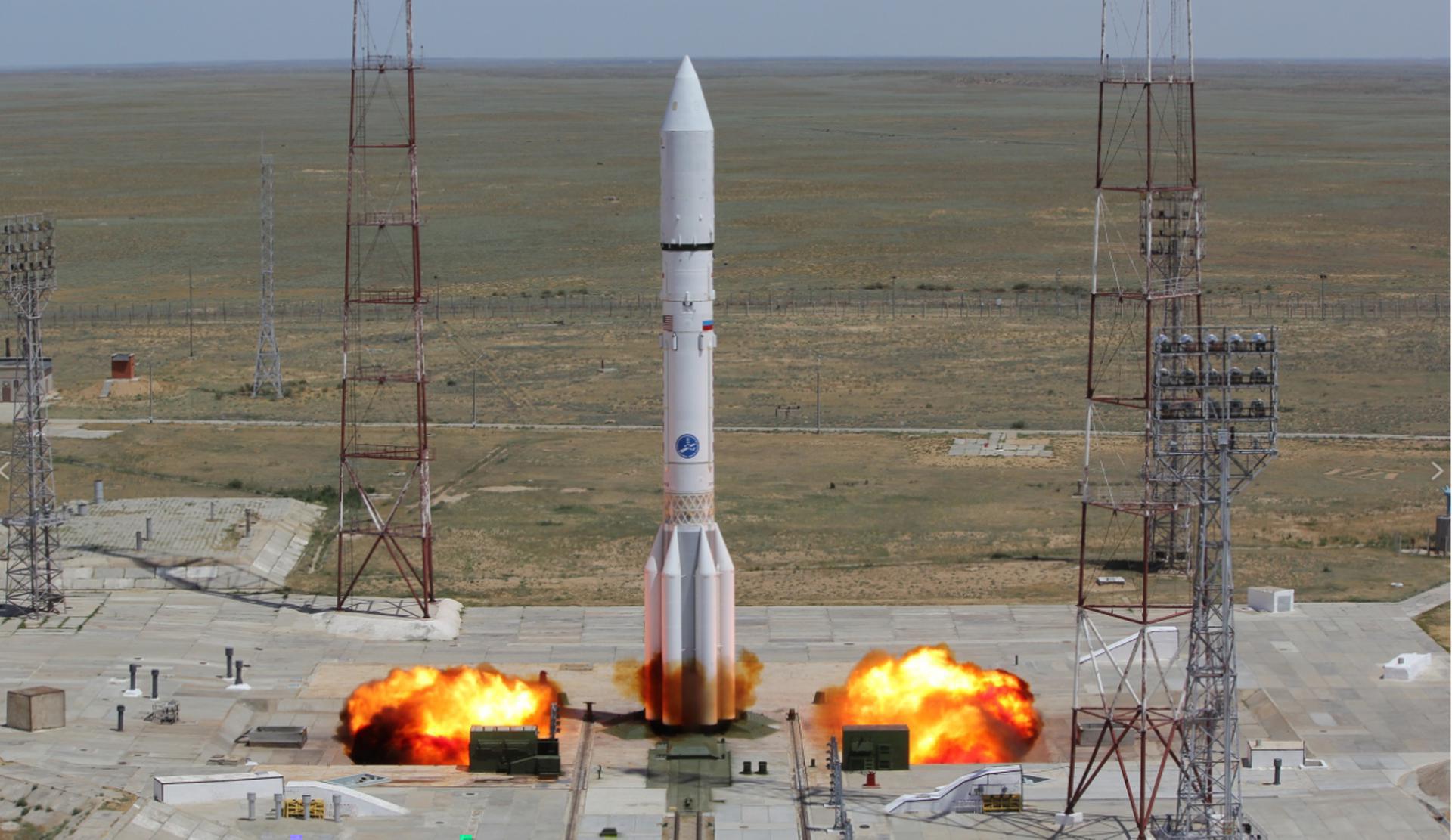
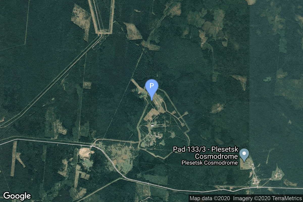
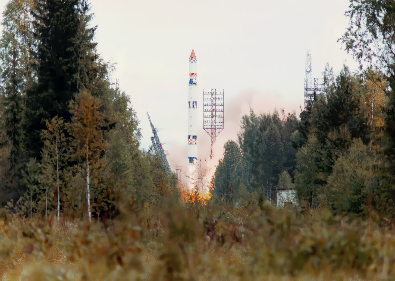
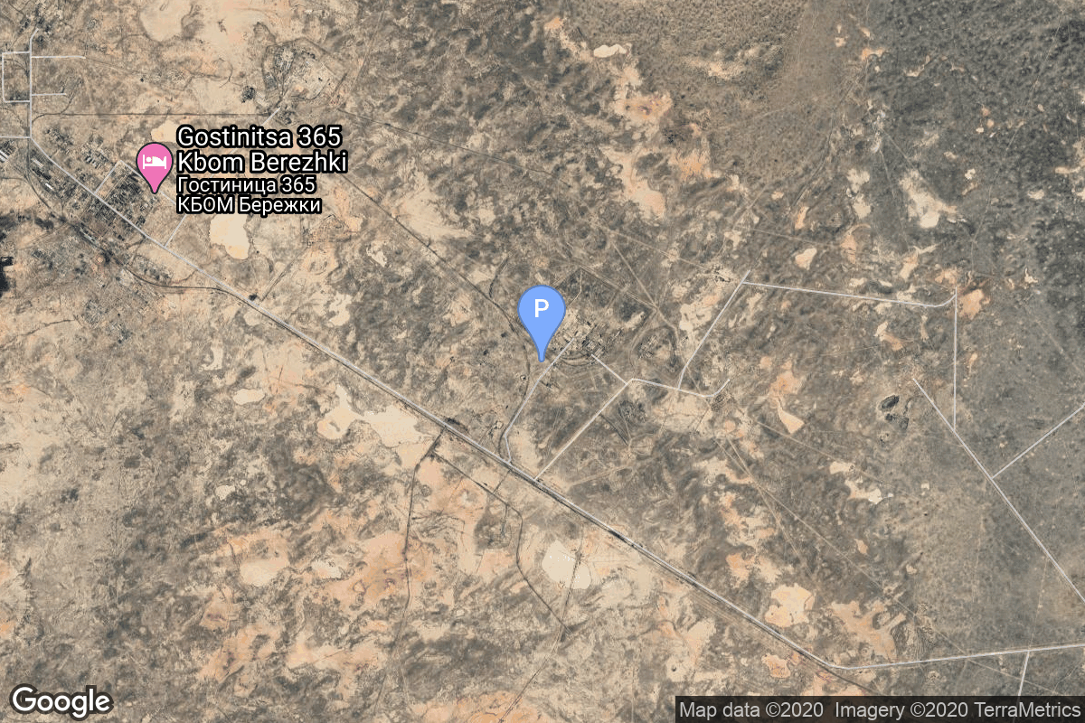
{ "count": 7933, "next": "https://ll.thespacedevs.com/2.2.0/launch/?format=api&limit=10&offset=6780&ordering=-id", "previous": "https://ll.thespacedevs.com/2.2.0/launch/?format=api&limit=10&offset=6760&ordering=-id", "results": [ { "id": "26b56010-7267-4f73-bea5-8c302f3d077d", "url": "https://ll.thespacedevs.com/2.2.0/launch/26b56010-7267-4f73-bea5-8c302f3d077d/?format=api", "slug": "proton-m-briz-m-satmex-8", "name": "Proton-M Briz-M | Satmex-8", "status": { "id": 3, "name": "Launch Successful", "abbrev": "Success", "description": "The launch vehicle successfully inserted its payload(s) into the target orbit(s)." }, "last_updated": "2023-06-14T03:35:16Z", "net": "2013-03-26T19:06:48Z", "window_end": "2013-03-26T19:06:48Z", "window_start": "2013-03-26T19:06:48Z", "net_precision": null, "probability": null, "weather_concerns": null, "holdreason": "", "failreason": null, "hashtag": null, "launch_service_provider": { "id": 118, "url": "https://ll.thespacedevs.com/2.2.0/agencies/118/?format=api", "name": "International Launch Services", "type": "Commercial" }, "rocket": { "id": 1666, "configuration": { "id": 22, "url": "https://ll.thespacedevs.com/2.2.0/config/launcher/22/?format=api", "name": "Proton-M Briz-M", "family": "Proton / UR-500", "full_name": "Proton-M Briz-M", "variant": "Briz-M" } }, "mission": null, "pad": { "id": 15, "url": "https://ll.thespacedevs.com/2.2.0/pad/15/?format=api", "agency_id": null, "name": "200/39 (200L)", "description": null, "info_url": null, "wiki_url": "", "map_url": "https://www.google.com/maps?q=46.039984,63.032093", "latitude": "46.039984", "longitude": "63.032093", "location": { "id": 15, "url": "https://ll.thespacedevs.com/2.2.0/location/15/?format=api", "name": "Baikonur Cosmodrome, Republic of Kazakhstan", "country_code": "KAZ", "description": "The Baikonur Cosmodrome is a spaceport operated by Russia within Kazakhstan. Located in the Kazakh city of Baikonur, it is the largest operational space launch facility in terms of area. All Russian crewed spaceflights are launched from Baikonur.", "map_image": "https://thespacedevs-prod.nyc3.digitaloceanspaces.com/media/map_images/location_15_20200803142517.jpg", "timezone_name": "Asia/Qyzylorda", "total_launch_count": 1564, "total_landing_count": 0 }, "country_code": "KAZ", "map_image": "https://thespacedevs-prod.nyc3.digitaloceanspaces.com/media/map_images/pad_15_20200803143530.jpg", "total_launch_count": 167, "orbital_launch_attempt_count": 167 }, "webcast_live": false, "image": "https://thespacedevs-prod.nyc3.digitaloceanspaces.com/media/images/proton-m2520briz-m_image_20190224012317.jpeg", "infographic": null, "program": [], "orbital_launch_attempt_count": 5281, "location_launch_attempt_count": 1403, "pad_launch_attempt_count": 145, "agency_launch_attempt_count": 23, "orbital_launch_attempt_count_year": 13, "location_launch_attempt_count_year": 3, "pad_launch_attempt_count_year": 1, "agency_launch_attempt_count_year": 1, "type": "normal" }, { "id": "26a273c2-974d-41c5-8d9f-25a855ed7f82", "url": "https://ll.thespacedevs.com/2.2.0/launch/26a273c2-974d-41c5-8d9f-25a855ed7f82/?format=api", "slug": "tsiklon-3-tselina-d-53", "name": "Tsiklon-3 | Tselina-D 53", "status": { "id": 3, "name": "Launch Successful", "abbrev": "Success", "description": "The launch vehicle successfully inserted its payload(s) into the target orbit(s)." }, "last_updated": "2023-06-14T04:22:46Z", "net": "1986-01-17T07:21:09Z", "window_end": "1986-01-17T07:21:09Z", "window_start": "1986-01-17T07:21:09Z", "net_precision": null, "probability": null, "weather_concerns": null, "holdreason": "", "failreason": null, "hashtag": null, "launch_service_provider": { "id": 66, "url": "https://ll.thespacedevs.com/2.2.0/agencies/66/?format=api", "name": "Soviet Space Program", "type": "Government" }, "rocket": { "id": 5826, "configuration": { "id": 445, "url": "https://ll.thespacedevs.com/2.2.0/config/launcher/445/?format=api", "name": "Tsiklon-3", "family": "Tsiklon", "full_name": "Tsiklon-3", "variant": "3" } }, "mission": { "id": 4224, "name": "Tselina-D 53", "description": "Tselina-D satellites provided detailed observation of radio sources detected by the smaller Tselina-O satellites as part of the Tselina ELINT system.", "launch_designator": null, "type": "Government/Top Secret", "orbit": { "id": 8, "name": "Low Earth Orbit", "abbrev": "LEO" }, "agencies": [], "info_urls": [], "vid_urls": [] }, "pad": { "id": 126, "url": "https://ll.thespacedevs.com/2.2.0/pad/126/?format=api", "agency_id": 63, "name": "32/1", "description": null, "info_url": null, "wiki_url": "https://en.wikipedia.org/wiki/Plesetsk_Cosmodrome_Site_32", "map_url": "https://www.google.com/maps?q=62.9063889,40.7844727", "latitude": "62.9063889", "longitude": "40.7844727", "location": { "id": 6, "url": "https://ll.thespacedevs.com/2.2.0/location/6/?format=api", "name": "Plesetsk Cosmodrome, Russian Federation", "country_code": "RUS", "description": "Plesetsk Cosmodrome is a Russian spaceport located in Mirny, Arkhangelsk Oblast, about 800 km north of Moscow and approximately 200 km south of Arkhangelsk. Originally developed as an ICBM site for the R-7 missile, it also served for numerous satellite launches using the R-7 and other rockets. Its high latitude makes it useful only for certain types of launches, especially the Molniya orbits, so for much of the site's history it functioned as a secondary location, with most orbital launches taking place from Baikonur, in the Kazakh SSR. With the end of the Soviet Union, Baikonur became a foreign territory, and Kazakhstan charged $115 million usage fees annually. Consequently, Plesetsk has seen considerably more activity since the 2000s.", "map_image": "https://thespacedevs-prod.nyc3.digitaloceanspaces.com/media/map_images/location_6_20200803142434.jpg", "timezone_name": "Europe/Moscow", "total_launch_count": 1686, "total_landing_count": 0 }, "country_code": "RUS", "map_image": "https://thespacedevs-prod.nyc3.digitaloceanspaces.com/media/map_images/pad_126_20200803143238.jpg", "total_launch_count": 57, "orbital_launch_attempt_count": 57 }, "webcast_live": false, "image": "https://thespacedevs-prod.nyc3.digitaloceanspaces.com/media/images/tsyklon-3_launc_image_20251112153513.png", "infographic": null, "program": [], "orbital_launch_attempt_count": 3035, "location_launch_attempt_count": 1099, "pad_launch_attempt_count": 20, "agency_launch_attempt_count": 1961, "orbital_launch_attempt_count_year": 6, "location_launch_attempt_count_year": 5, "pad_launch_attempt_count_year": 1, "agency_launch_attempt_count_year": 5, "type": "normal" }, { "id": "26a1968e-c866-4657-a697-598b8457b16d", "url": "https://ll.thespacedevs.com/2.2.0/launch/26a1968e-c866-4657-a697-598b8457b16d/?format=api", "slug": "proton-kdm-ekran-5", "name": "Proton-K/DM | Ekran", "status": { "id": 4, "name": "Launch Failure", "abbrev": "Failure", "description": "Either the launch vehicle did not reach orbit, or the payload(s) failed to separate." }, "last_updated": "2023-06-14T04:23:42Z", "net": "1978-10-17T16:04:00Z", "window_end": "1978-10-17T16:04:00Z", "window_start": "1978-10-17T16:04:00Z", "net_precision": null, "probability": null, "weather_concerns": null, "holdreason": "", "failreason": null, "hashtag": null, "launch_service_provider": { "id": 66, "url": "https://ll.thespacedevs.com/2.2.0/agencies/66/?format=api", "name": "Soviet Space Program", "type": "Government" }, "rocket": { "id": 5006, "configuration": { "id": 349, "url": "https://ll.thespacedevs.com/2.2.0/config/launcher/349/?format=api", "name": "Proton-K/DM", "family": "Proton / UR-500", "full_name": "Proton-K/DM", "variant": "DM" } }, "mission": { "id": 3186, "name": "Ekran", "description": "Ekran was a Soviet series of geostationary satellites which were the first in the world to provide Direct-To-Home TV service.", "launch_designator": null, "type": "Communications", "orbit": { "id": 1, "name": "Geostationary Orbit", "abbrev": "Direct-GEO" }, "agencies": [], "info_urls": [], "vid_urls": [] }, "pad": { "id": 130, "url": "https://ll.thespacedevs.com/2.2.0/pad/130/?format=api", "agency_id": null, "name": "200/40", "description": null, "info_url": null, "wiki_url": "https://en.wikipedia.org/wiki/Baikonur_Cosmodrome_Site_200", "map_url": "https://www.google.com/maps?q=46.0336111,63.0266949", "latitude": "46.0336111", "longitude": "63.0266949", "location": { "id": 15, "url": "https://ll.thespacedevs.com/2.2.0/location/15/?format=api", "name": "Baikonur Cosmodrome, Republic of Kazakhstan", "country_code": "KAZ", "description": "The Baikonur Cosmodrome is a spaceport operated by Russia within Kazakhstan. Located in the Kazakh city of Baikonur, it is the largest operational space launch facility in terms of area. All Russian crewed spaceflights are launched from Baikonur.", "map_image": "https://thespacedevs-prod.nyc3.digitaloceanspaces.com/media/map_images/location_15_20200803142517.jpg", "timezone_name": "Asia/Qyzylorda", "total_launch_count": 1564, "total_landing_count": 0 }, "country_code": "KAZ", "map_image": "https://thespacedevs-prod.nyc3.digitaloceanspaces.com/media/map_images/pad_130_20200803143249.jpg", "total_launch_count": 64, "orbital_launch_attempt_count": 64 }, "webcast_live": false, "image": "https://thespacedevs-prod.nyc3.digitaloceanspaces.com/media/images/proton_image_20231231095535.jpg", "infographic": null, "program": [], "orbital_launch_attempt_count": 2146, "location_launch_attempt_count": 532, "pad_launch_attempt_count": 6, "agency_launch_attempt_count": 1252, "orbital_launch_attempt_count_year": 101, "location_launch_attempt_count_year": 25, "pad_launch_attempt_count_year": 4, "agency_launch_attempt_count_year": 70, "type": "normal" }, { "id": "26a14093-bf34-4075-a5f5-fa832dc15824", "url": "https://ll.thespacedevs.com/2.2.0/launch/26a14093-bf34-4075-a5f5-fa832dc15824/?format=api", "slug": "thor-slv-2-agena-b-nimbus-1", "name": "Thor SLV-2 Agena B | Nimbus 1", "status": { "id": 3, "name": "Launch Successful", "abbrev": "Success", "description": "The launch vehicle successfully inserted its payload(s) into the target orbit(s)." }, "last_updated": "2023-06-14T04:18:56Z", "net": "1964-08-28T07:56:57Z", "window_end": "1964-08-28T07:56:57Z", "window_start": "1964-08-28T07:56:57Z", "net_precision": null, "probability": null, "weather_concerns": null, "holdreason": "", "failreason": null, "hashtag": null, "launch_service_provider": { "id": 161, "url": "https://ll.thespacedevs.com/2.2.0/agencies/161/?format=api", "name": "United States Air Force", "type": "Government" }, "rocket": { "id": 3311, "configuration": { "id": 414, "url": "https://ll.thespacedevs.com/2.2.0/config/launcher/414/?format=api", "name": "Thor SLV-2 Agena B", "family": "Thor", "full_name": "Thor SLV-2 Agena B", "variant": "SLV-2 Agena B" } }, "mission": { "id": 1733, "name": "Nimbus 1", "description": "Nimbus 1, the first in a series of second-generation meteorological research-and-development satellites, was designed to serve as a stabilized, earth-oriented platform for the testing of advanced meteorological sensor systems and for collecting meteorological data.", "launch_designator": null, "type": "Earth Science", "orbit": { "id": 13, "name": "Polar Orbit", "abbrev": "PO" }, "agencies": [], "info_urls": [], "vid_urls": [] }, "pad": { "id": 98, "url": "https://ll.thespacedevs.com/2.2.0/pad/98/?format=api", "agency_id": 161, "name": "Space Launch Complex 2E", "description": "SLC-2E, was used for Delta, Thor-Agena and Thorad launches between 1966 and 1972 and has been demolished", "info_url": null, "wiki_url": "https://en.wikipedia.org/wiki/Vandenberg_Space_Launch_Complex_2", "map_url": "https://www.google.com/maps?q=34.7516,-120.6192", "latitude": "34.7516", "longitude": "-120.6192", "location": { "id": 11, "url": "https://ll.thespacedevs.com/2.2.0/location/11/?format=api", "name": "Vandenberg SFB, CA, USA", "country_code": "USA", "description": "Vandenberg Space Force Base is a United States Space Force Base in Santa Barbara County, California. Established in 1941, Vandenberg Space Force Base is a space launch base, launching spacecraft from the Western Range, and also performs missile testing. The United States Space Force's Space Launch Delta 30 serves as the host delta for the base, equivalent to an Air Force air base wing. In addition to its military space launch mission, Vandenberg Space Force Base also hosts space launches for civil and commercial space entities, such as NASA and SpaceX.", "map_image": "https://thespacedevs-prod.nyc3.digitaloceanspaces.com/media/map_images/location_11_20200803142416.jpg", "timezone_name": "America/Los_Angeles", "total_launch_count": 900, "total_landing_count": 35 }, "country_code": "USA", "map_image": "https://thespacedevs-prod.nyc3.digitaloceanspaces.com/media/map_images/pad_98_20200803143228.jpg", "total_launch_count": 47, "orbital_launch_attempt_count": 47 }, "webcast_live": false, "image": null, "infographic": null, "program": [], "orbital_launch_attempt_count": 354, "location_launch_attempt_count": 143, "pad_launch_attempt_count": 18, "agency_launch_attempt_count": 209, "orbital_launch_attempt_count_year": 61, "location_launch_attempt_count_year": 26, "pad_launch_attempt_count_year": 4, "agency_launch_attempt_count_year": 34, "type": "normal" }, { "id": "269b3536-e54b-481d-8870-b7695b9cac94", "url": "https://ll.thespacedevs.com/2.2.0/launch/269b3536-e54b-481d-8870-b7695b9cac94/?format=api", "slug": "kosmos-3m-nadezhda-6", "name": "Kosmos-3M | Nadezhda 6", "status": { "id": 3, "name": "Launch Successful", "abbrev": "Success", "description": "The launch vehicle successfully inserted its payload(s) into the target orbit(s)." }, "last_updated": "2023-06-14T03:31:47Z", "net": "1991-03-12T19:29:04Z", "window_end": "1991-03-12T19:29:04Z", "window_start": "1991-03-12T19:29:04Z", "net_precision": null, "probability": null, "weather_concerns": null, "holdreason": "", "failreason": null, "hashtag": null, "launch_service_provider": { "id": 66, "url": "https://ll.thespacedevs.com/2.2.0/agencies/66/?format=api", "name": "Soviet Space Program", "type": "Government" }, "rocket": { "id": 6356, "configuration": { "id": 102, "url": "https://ll.thespacedevs.com/2.2.0/config/launcher/102/?format=api", "name": "Kosmos-3M", "family": "Kosmos", "full_name": "Kosmos-3M (11K65M)", "variant": "-3M" } }, "mission": { "id": 4746, "name": "Nadezhda 6", "description": "Civilian navigation satellite equivalent to the purely military Parus", "launch_designator": null, "type": "Navigation", "orbit": { "id": 8, "name": "Low Earth Orbit", "abbrev": "LEO" }, "agencies": [], "info_urls": [], "vid_urls": [] }, "pad": { "id": 3, "url": "https://ll.thespacedevs.com/2.2.0/pad/3/?format=api", "agency_id": 163, "name": "133/3 (133L)", "description": null, "info_url": null, "wiki_url": "", "map_url": "https://www.google.com/maps?q=62.886999,40.846984", "latitude": "62.886999", "longitude": "40.846984", "location": { "id": 6, "url": "https://ll.thespacedevs.com/2.2.0/location/6/?format=api", "name": "Plesetsk Cosmodrome, Russian Federation", "country_code": "RUS", "description": "Plesetsk Cosmodrome is a Russian spaceport located in Mirny, Arkhangelsk Oblast, about 800 km north of Moscow and approximately 200 km south of Arkhangelsk. Originally developed as an ICBM site for the R-7 missile, it also served for numerous satellite launches using the R-7 and other rockets. Its high latitude makes it useful only for certain types of launches, especially the Molniya orbits, so for much of the site's history it functioned as a secondary location, with most orbital launches taking place from Baikonur, in the Kazakh SSR. With the end of the Soviet Union, Baikonur became a foreign territory, and Kazakhstan charged $115 million usage fees annually. Consequently, Plesetsk has seen considerably more activity since the 2000s.", "map_image": "https://thespacedevs-prod.nyc3.digitaloceanspaces.com/media/map_images/location_6_20200803142434.jpg", "timezone_name": "Europe/Moscow", "total_launch_count": 1686, "total_landing_count": 0 }, "country_code": "RUS", "map_image": "https://thespacedevs-prod.nyc3.digitaloceanspaces.com/media/map_images/pad_3_20200803143438.jpg", "total_launch_count": 159, "orbital_launch_attempt_count": 159 }, "webcast_live": false, "image": "https://thespacedevs-prod.nyc3.digitaloceanspaces.com/media/images/kosmos-3m_durin_image_20251101171325.jpg", "infographic": null, "program": [], "orbital_launch_attempt_count": 3616, "location_launch_attempt_count": 1352, "pad_launch_attempt_count": 117, "agency_launch_attempt_count": 2409, "orbital_launch_attempt_count_year": 19, "location_launch_attempt_count_year": 9, "pad_launch_attempt_count_year": 5, "agency_launch_attempt_count_year": 14, "type": "normal" }, { "id": "268e940c-b8d4-41a9-b2ed-aa5dcca1069f", "url": "https://ll.thespacedevs.com/2.2.0/launch/268e940c-b8d4-41a9-b2ed-aa5dcca1069f/?format=api", "slug": "kosmos-3m-taifun-1-13", "name": "Kosmos-3M | Taifun-1 13", "status": { "id": 3, "name": "Launch Successful", "abbrev": "Success", "description": "The launch vehicle successfully inserted its payload(s) into the target orbit(s)." }, "last_updated": "2023-06-14T03:43:46Z", "net": "1981-04-09T12:00:00Z", "window_end": "1981-04-09T12:00:00Z", "window_start": "1981-04-09T12:00:00Z", "net_precision": null, "probability": null, "weather_concerns": null, "holdreason": "", "failreason": null, "hashtag": null, "launch_service_provider": { "id": 66, "url": "https://ll.thespacedevs.com/2.2.0/agencies/66/?format=api", "name": "Soviet Space Program", "type": "Government" }, "rocket": { "id": 5266, "configuration": { "id": 102, "url": "https://ll.thespacedevs.com/2.2.0/config/launcher/102/?format=api", "name": "Kosmos-3M", "family": "Kosmos", "full_name": "Kosmos-3M (11K65M)", "variant": "-3M" } }, "mission": { "id": 3675, "name": "Taifun-1 13", "description": "Radar calibration satellite", "launch_designator": null, "type": "Test Target", "orbit": { "id": 8, "name": "Low Earth Orbit", "abbrev": "LEO" }, "agencies": [], "info_urls": [], "vid_urls": [] }, "pad": { "id": 28, "url": "https://ll.thespacedevs.com/2.2.0/pad/28/?format=api", "agency_id": 163, "name": "132/1 (132L)", "description": null, "info_url": null, "wiki_url": "", "map_url": "https://www.google.com/maps?q=62.883229,40.868549", "latitude": "62.883229", "longitude": "40.868549", "location": { "id": 6, "url": "https://ll.thespacedevs.com/2.2.0/location/6/?format=api", "name": "Plesetsk Cosmodrome, Russian Federation", "country_code": "RUS", "description": "Plesetsk Cosmodrome is a Russian spaceport located in Mirny, Arkhangelsk Oblast, about 800 km north of Moscow and approximately 200 km south of Arkhangelsk. Originally developed as an ICBM site for the R-7 missile, it also served for numerous satellite launches using the R-7 and other rockets. Its high latitude makes it useful only for certain types of launches, especially the Molniya orbits, so for much of the site's history it functioned as a secondary location, with most orbital launches taking place from Baikonur, in the Kazakh SSR. With the end of the Soviet Union, Baikonur became a foreign territory, and Kazakhstan charged $115 million usage fees annually. Consequently, Plesetsk has seen considerably more activity since the 2000s.", "map_image": "https://thespacedevs-prod.nyc3.digitaloceanspaces.com/media/map_images/location_6_20200803142434.jpg", "timezone_name": "Europe/Moscow", "total_launch_count": 1686, "total_landing_count": 0 }, "country_code": "RUS", "map_image": "https://thespacedevs-prod.nyc3.digitaloceanspaces.com/media/map_images/pad_28_20200803143254.jpg", "total_launch_count": 212, "orbital_launch_attempt_count": 212 }, "webcast_live": false, "image": "https://thespacedevs-prod.nyc3.digitaloceanspaces.com/media/images/kosmos-3m_durin_image_20251101171325.jpg", "infographic": null, "program": [], "orbital_launch_attempt_count": 2426, "location_launch_attempt_count": 805, "pad_launch_attempt_count": 112, "agency_launch_attempt_count": 1481, "orbital_launch_attempt_count_year": 35, "location_launch_attempt_count_year": 18, "pad_launch_attempt_count_year": 5, "agency_launch_attempt_count_year": 30, "type": "normal" }, { "id": "26881916-98e7-40bc-954c-88ad6ac7a050", "url": "https://ll.thespacedevs.com/2.2.0/launch/26881916-98e7-40bc-954c-88ad6ac7a050/?format=api", "slug": "falcon-heavy-exomars-2028-rosalind-franklin-rover", "name": "Falcon Heavy | ExoMars 2028 Rosalind Franklin rover", "status": { "id": 2, "name": "To Be Determined", "abbrev": "TBD", "description": "Current date is a placeholder or rough estimation based on unreliable or interpreted sources." }, "last_updated": "2026-04-16T17:23:45Z", "net": "2028-10-31T00:00:00Z", "window_end": "2028-10-31T00:00:00Z", "window_start": "2028-10-31T00:00:00Z", "net_precision": { "id": 7, "name": "Month", "abbrev": "M", "description": "The T-0 is expected in the given month." }, "probability": null, "weather_concerns": null, "holdreason": "", "failreason": "", "hashtag": null, "launch_service_provider": { "id": 121, "url": "https://ll.thespacedevs.com/2.2.0/agencies/121/?format=api", "name": "SpaceX", "type": "Commercial" }, "rocket": { "id": 160, "configuration": { "id": 161, "url": "https://ll.thespacedevs.com/2.2.0/config/launcher/161/?format=api", "name": "Falcon Heavy", "family": "Falcon", "full_name": "Falcon Heavy", "variant": "Heavy" } }, "mission": { "id": 918, "name": "ExoMars 2028 Rosalind Franklin Rover", "description": "ExoMars 2028 is a second mission of two-part European Space Agency astrobiology project to search for evidence of life on Mars. The primary objective is to land the rover at a site with high potential for finding well-preserved organic material, particularly from the very early history of the planet. The rover is expected to travel several kilometers during its mission. \r\n\r\nThe European rover will be the first mission to combine the capability to move across the surface and to study Mars at depth. It will collect samples with a drill down to a depth of 2 m and analyze them with next-generation instruments in an onboard laboratory. Underground samples are more likely to include biomarkers, since the tenuous martian atmosphere offers little protection from radiation and photochemistry at the surface.", "launch_designator": null, "type": "Robotic Exploration", "orbit": { "id": 6, "name": "Heliocentric N/A", "abbrev": "Helio-N/A" }, "agencies": [ { "id": 27, "url": "https://ll.thespacedevs.com/2.2.0/agencies/27/?format=api", "name": "European Space Agency", "featured": false, "type": "Multinational", "country_code": "FRA,ITA,DEU,ESP,CHE,GBR,AUT,SWE,BEL,PRT,NLD,HUN,POL,DNK,CZE,ROU,NOR,FIN,GRC,EST,IRL,LUX,SVN", "abbrev": "ESA", "description": "The European Space Agency is an intergovernmental organisation of 22 member states. Established in 1975 and headquartered in Paris, France, ESA has a worldwide staff of about 2,000 employees.\r\n\r\nESA's space flight programme includes human spaceflight (mainly through participation in the International Space Station program); the launch and operation of unmanned exploration missions to other planets and the Moon; Earth observation, science and telecommunication; designing launch vehicles; and maintaining a major spaceport, the Guiana Space Centre at Kourou, French Guiana.", "administrator": "Director General: Josef Aschbacher", "founding_year": "1975", "launchers": "Ariane | Vega", "spacecraft": "Space Rider", "launch_library_url": null, "total_launch_count": 7, "consecutive_successful_launches": 5, "successful_launches": 6, "failed_launches": 1, "pending_launches": 1, "consecutive_successful_landings": 0, "successful_landings": 0, "failed_landings": 0, "attempted_landings": 0, "info_url": "https://www.esa.int/", "wiki_url": "https://en.wikipedia.org/wiki/European_Space_Agency", "logo_url": "https://thespacedevs-prod.nyc3.digitaloceanspaces.com/media/images/european2520space2520agency_logo_20221130101442.png", "image_url": "https://thespacedevs-prod.nyc3.digitaloceanspaces.com/media/images/esa_patch_float_image_20250211192109.png", "nation_url": "https://thespacedevs-prod.nyc3.digitaloceanspaces.com/media/images/european2520space2520agency_logo_20221130101442.png" } ], "info_urls": [], "vid_urls": [] }, "pad": { "id": 87, "url": "https://ll.thespacedevs.com/2.2.0/pad/87/?format=api", "agency_id": 121, "name": "Launch Complex 39A", "description": "", "info_url": null, "wiki_url": "https://en.wikipedia.org/wiki/Kennedy_Space_Center_Launch_Complex_39#Launch_Pad_39A", "map_url": "https://www.google.com/maps?q=28.60822681,-80.60428186", "latitude": "28.60822681", "longitude": "-80.60428186", "location": { "id": 27, "url": "https://ll.thespacedevs.com/2.2.0/location/27/?format=api", "name": "Kennedy Space Center, FL, USA", "country_code": "USA", "description": "The John F. Kennedy Space Center, located on Merritt Island, Florida, is one of NASA's ten field centers. Since 1968, KSC has been NASA's primary launch center of American spaceflight, research, and technology. Launch operations for the Apollo, Skylab and Space Shuttle programs were carried out from Kennedy Space Center Launch Complex 39 and managed by KSC. Located on the east coast of Florida, KSC is adjacent to Cape Canaveral Space Force Station (CCSFS).", "map_image": "https://thespacedevs-prod.nyc3.digitaloceanspaces.com/media/map_images/location_27_20200803142447.jpg", "timezone_name": "America/New_York", "total_launch_count": 281, "total_landing_count": 0 }, "country_code": "USA", "map_image": "https://thespacedevs-prod.nyc3.digitaloceanspaces.com/media/map_images/pad_87_20200803143537.jpg", "total_launch_count": 222, "orbital_launch_attempt_count": 221 }, "webcast_live": false, "image": "https://thespacedevs-prod.nyc3.digitaloceanspaces.com/media/images/falcon_heavy_image_20220129192819.jpeg", "infographic": null, "program": [], "orbital_launch_attempt_count": 7618, "location_launch_attempt_count": 296, "pad_launch_attempt_count": 233, "agency_launch_attempt_count": 810, "orbital_launch_attempt_count_year": 11, "location_launch_attempt_count_year": 3, "pad_launch_attempt_count_year": 2, "agency_launch_attempt_count_year": 4, "type": "normal" }, { "id": "267f232e-f34a-4c79-ac56-b00cf69dd32d", "url": "https://ll.thespacedevs.com/2.2.0/launch/267f232e-f34a-4c79-ac56-b00cf69dd32d/?format=api", "slug": "falcon-9-block-5-starlink-demo-09", "name": "Falcon 9 Block 5 | Starlink Demo (0.9)", "status": { "id": 3, "name": "Launch Successful", "abbrev": "Success", "description": "The launch vehicle successfully inserted its payload(s) into the target orbit(s)." }, "last_updated": "2024-03-05T17:39:22Z", "net": "2019-05-24T02:30:00Z", "window_end": "2019-05-24T04:00:00Z", "window_start": "2019-05-24T02:30:00Z", "net_precision": null, "probability": 90, "weather_concerns": null, "holdreason": "", "failreason": "", "hashtag": null, "launch_service_provider": { "id": 121, "url": "https://ll.thespacedevs.com/2.2.0/agencies/121/?format=api", "name": "SpaceX", "type": "Commercial" }, "rocket": { "id": 2227, "configuration": { "id": 164, "url": "https://ll.thespacedevs.com/2.2.0/config/launcher/164/?format=api", "name": "Falcon 9", "family": "Falcon", "full_name": "Falcon 9 Block 5", "variant": "Block 5" } }, "mission": { "id": 993, "name": "Starlink Demo", "description": "An initial batch of 60 satellites meant to test Starlink mega-constellation - SpaceX's project for space-based Internet communication system.", "launch_designator": null, "type": "Communications", "orbit": { "id": 8, "name": "Low Earth Orbit", "abbrev": "LEO" }, "agencies": [], "info_urls": [], "vid_urls": [] }, "pad": { "id": 80, "url": "https://ll.thespacedevs.com/2.2.0/pad/80/?format=api", "agency_id": 121, "name": "Space Launch Complex 40", "description": "", "info_url": null, "wiki_url": "https://en.wikipedia.org/wiki/Cape_Canaveral_Air_Force_Station_Space_Launch_Complex_40", "map_url": "https://www.google.com/maps?q=28.56194122,-80.57735736", "latitude": "28.56194122", "longitude": "-80.57735736", "location": { "id": 12, "url": "https://ll.thespacedevs.com/2.2.0/location/12/?format=api", "name": "Cape Canaveral SFS, FL, USA", "country_code": "USA", "description": "Cape Canaveral Space Force Station (CCSFS) is an installation of the United States Space Force's Space Launch Delta 45, located on Cape Canaveral in Brevard County, Florida.", "map_image": "https://thespacedevs-prod.nyc3.digitaloceanspaces.com/media/map_images/location_12_20200803142519.jpg", "timezone_name": "America/New_York", "total_launch_count": 1122, "total_landing_count": 75 }, "country_code": "USA", "map_image": "https://thespacedevs-prod.nyc3.digitaloceanspaces.com/media/map_images/pad_80_20200803143323.jpg", "total_launch_count": 394, "orbital_launch_attempt_count": 394 }, "webcast_live": false, "image": "https://thespacedevs-prod.nyc3.digitaloceanspaces.com/media/images/falcon2520925_image_20221009234147.png", "infographic": null, "program": [ { "id": 25, "url": "https://ll.thespacedevs.com/2.2.0/program/25/?format=api", "name": "Starlink", "description": "Starlink is a satellite internet constellation operated by American aerospace company SpaceX", "agencies": [ { "id": 121, "url": "https://ll.thespacedevs.com/2.2.0/agencies/121/?format=api", "name": "SpaceX", "type": "Commercial" } ], "image_url": "https://thespacedevs-prod.nyc3.digitaloceanspaces.com/media/images/starlink_program_20231228154508.jpeg", "start_date": "2018-02-22T14:17:00Z", "end_date": null, "info_url": "https://starlink.com", "wiki_url": "https://en.wikipedia.org/wiki/Starlink", "mission_patches": [ { "id": 7, "name": "Space X Starlink Mission Patch", "priority": 10, "image_url": "https://thespacedevs-prod.nyc3.digitaloceanspaces.com/media/mission_patch_images/space2520x252_mission_patch_20221011205756.png", "agency": { "id": 121, "url": "https://ll.thespacedevs.com/2.2.0/agencies/121/?format=api", "name": "SpaceX", "type": "Commercial" } } ], "type": { "id": 3, "name": "Communication Constellation" } } ], "orbital_launch_attempt_count": 5853, "location_launch_attempt_count": 782, "pad_launch_attempt_count": 98, "agency_launch_attempt_count": 79, "orbital_launch_attempt_count_year": 33, "location_launch_attempt_count_year": 4, "pad_launch_attempt_count_year": 3, "agency_launch_attempt_count_year": 6, "type": "normal" }, { "id": "26771108-3dcf-41c1-940d-d8ff4c444625", "url": "https://ll.thespacedevs.com/2.2.0/launch/26771108-3dcf-41c1-940d-d8ff4c444625/?format=api", "slug": "pslv-ca-cartosat-2b-alsat-2a-studsat-aissat-1-tisa", "name": "PSLV-CA | Cartosat-2B, AlSat-2A, StudSat, AISSat-1, TIsat-1", "status": { "id": 3, "name": "Launch Successful", "abbrev": "Success", "description": "The launch vehicle successfully inserted its payload(s) into the target orbit(s)." }, "last_updated": "2024-06-13T17:57:26Z", "net": "2010-07-12T03:52:00Z", "window_end": "2010-07-12T03:52:00Z", "window_start": "2010-07-12T03:52:00Z", "net_precision": { "id": 1, "name": "Minute", "abbrev": "MIN", "description": "The T-0 is accurate to the minute." }, "probability": null, "weather_concerns": null, "holdreason": "", "failreason": "", "hashtag": null, "launch_service_provider": { "id": 31, "url": "https://ll.thespacedevs.com/2.2.0/agencies/31/?format=api", "name": "Indian Space Research Organization", "type": "Government" }, "rocket": { "id": 1472, "configuration": { "id": 43, "url": "https://ll.thespacedevs.com/2.2.0/config/launcher/43/?format=api", "name": "PSLV", "family": "PSLV", "full_name": "PSLV-CA", "variant": "CA" } }, "mission": { "id": 405, "name": "Cartosat-2B, AlSat-2A, StudSat, AISSat-1, TIsat-1", "description": "Cartosat-2B is fourth of Cartosat series of Earth observation satellites to be deployed in sun-synchronous orbit. Its main purpose is to collect high resolution imagery for cartography purposes. Cartosat-2B was launched along with several small satellites for Algeria, Canada and Switzerland.", "launch_designator": null, "type": "Earth Science", "orbit": { "id": 17, "name": "Sun-Synchronous Orbit", "abbrev": "SSO" }, "agencies": [], "info_urls": [], "vid_urls": [] }, "pad": { "id": 50, "url": "https://ll.thespacedevs.com/2.2.0/pad/50/?format=api", "agency_id": 31, "name": "Satish Dhawan Space Centre First Launch Pad", "description": "India has two launch pads at the site. The First Launch Pad, operational since 1993, is used for Polar Satellite Launch Vehicle, Small Satellite Launch Vehicle and formerly used by Geosynchronous Satellite Launch Vehicle.", "info_url": null, "wiki_url": "https://en.wikipedia.org/wiki/Satish_Dhawan_Space_Centre_First_Launch_Pad", "map_url": "https://www.google.com/maps?q=13.733,80.235", "latitude": "13.733", "longitude": "80.235", "location": { "id": 14, "url": "https://ll.thespacedevs.com/2.2.0/location/14/?format=api", "name": "Satish Dhawan Space Centre, India", "country_code": "IND", "description": "Satish Dhawan Space Centre – SDSC (formerly Sriharikota Range – SHAR),[1] is the primary spaceport of the Indian Space Research Organisation (ISRO), located in Sriharikota, Andhra Pradesh.", "map_image": "https://thespacedevs-prod.nyc3.digitaloceanspaces.com/media/map_images/location_14_20200803142403.jpg", "timezone_name": "Asia/Kolkata", "total_launch_count": 104, "total_landing_count": 0 }, "country_code": "IND", "map_image": "https://thespacedevs-prod.nyc3.digitaloceanspaces.com/media/map_images/pad_50_20200803143457.jpg", "total_launch_count": 64, "orbital_launch_attempt_count": 63 }, "webcast_live": false, "image": "https://thespacedevs-prod.nyc3.digitaloceanspaces.com/media/images/pslv_image_20230730102956.jpeg", "infographic": null, "program": [], "orbital_launch_attempt_count": 5069, "location_launch_attempt_count": 31, "pad_launch_attempt_count": 16, "agency_launch_attempt_count": 31, "orbital_launch_attempt_count_year": 37, "location_launch_attempt_count_year": 2, "pad_launch_attempt_count_year": 1, "agency_launch_attempt_count_year": 2, "type": "normal" }, { "id": "2673a5eb-cb4e-49bf-96ce-f8605c5e0c71", "url": "https://ll.thespacedevs.com/2.2.0/launch/2673a5eb-cb4e-49bf-96ce-f8605c5e0c71/?format=api", "slug": "rokotbriz-km-geo-ik-2-no12l-kosmos-2517", "name": "Rokot/Briz-KM | Geo-IK-2 No.12L (Kosmos 2517)", "status": { "id": 3, "name": "Launch Successful", "abbrev": "Success", "description": "The launch vehicle successfully inserted its payload(s) into the target orbit(s)." }, "last_updated": "2024-11-13T17:37:31Z", "net": "2016-06-04T14:00:14Z", "window_end": "2016-06-04T14:45:00Z", "window_start": "2016-06-04T13:45:00Z", "net_precision": { "id": 0, "name": "Second", "abbrev": "SEC", "description": "The T-0 is accurate to the second." }, "probability": null, "weather_concerns": null, "holdreason": "", "failreason": "", "hashtag": null, "launch_service_provider": { "id": 193, "url": "https://ll.thespacedevs.com/2.2.0/agencies/193/?format=api", "name": "Russian Space Forces", "type": "Government" }, "rocket": { "id": 1931, "configuration": { "id": 40, "url": "https://ll.thespacedevs.com/2.2.0/config/launcher/40/?format=api", "name": "Rokot/Briz-KM", "family": "Rokot", "full_name": "Rokot/Briz-KM", "variant": "Briz-KM" } }, "mission": { "id": 137, "name": "Geo-IK-2 No.12L (Kosmos 2517)", "description": "Geo-IK-2 will conduct high precision geodesic measurements to improve our understanding and models of the earth. Using GLONASS for accurate positioning data, the 1400kg satellite will operate in a 1000km polar orbit.", "launch_designator": null, "type": "Earth Science", "orbit": { "id": 13, "name": "Polar Orbit", "abbrev": "PO" }, "agencies": [], "info_urls": [], "vid_urls": [] }, "pad": { "id": 3, "url": "https://ll.thespacedevs.com/2.2.0/pad/3/?format=api", "agency_id": 163, "name": "133/3 (133L)", "description": null, "info_url": null, "wiki_url": "", "map_url": "https://www.google.com/maps?q=62.886999,40.846984", "latitude": "62.886999", "longitude": "40.846984", "location": { "id": 6, "url": "https://ll.thespacedevs.com/2.2.0/location/6/?format=api", "name": "Plesetsk Cosmodrome, Russian Federation", "country_code": "RUS", "description": "Plesetsk Cosmodrome is a Russian spaceport located in Mirny, Arkhangelsk Oblast, about 800 km north of Moscow and approximately 200 km south of Arkhangelsk. Originally developed as an ICBM site for the R-7 missile, it also served for numerous satellite launches using the R-7 and other rockets. Its high latitude makes it useful only for certain types of launches, especially the Molniya orbits, so for much of the site's history it functioned as a secondary location, with most orbital launches taking place from Baikonur, in the Kazakh SSR. With the end of the Soviet Union, Baikonur became a foreign territory, and Kazakhstan charged $115 million usage fees annually. Consequently, Plesetsk has seen considerably more activity since the 2000s.", "map_image": "https://thespacedevs-prod.nyc3.digitaloceanspaces.com/media/map_images/location_6_20200803142434.jpg", "timezone_name": "Europe/Moscow", "total_launch_count": 1686, "total_landing_count": 0 }, "country_code": "RUS", "map_image": "https://thespacedevs-prod.nyc3.digitaloceanspaces.com/media/map_images/pad_3_20200803143438.jpg", "total_launch_count": 159, "orbital_launch_attempt_count": 159 }, "webcast_live": false, "image": "https://thespacedevs-prod.nyc3.digitaloceanspaces.com/media/images/rokot25202f2520briz-km_image_20190224012237.jpeg", "infographic": null, "program": [], "orbital_launch_attempt_count": 5563, "location_launch_attempt_count": 1615, "pad_launch_attempt_count": 154, "agency_launch_attempt_count": 92, "orbital_launch_attempt_count_year": 34, "location_launch_attempt_count_year": 5, "pad_launch_attempt_count_year": 2, "agency_launch_attempt_count_year": 4, "type": "normal" } ] }