Launch List
AN API endpoint that returns all Launch objects or a single launch.
EXAMPLE - /launch/[id]/ or /launch/?mode=list&search=SpaceX
GET Return a list of all Launch objects.
FILTERS Fields - 'name', 'id(s)', 'lsp__id', 'lsp__name', 'serial_number', 'launcher_config__id', 'rocket__spacecraftflight__spacecraft__name', 'is_crewed', 'include_suborbital', 'spacecraft_config__ids', 'related', 'location__ids', 'lsp__ids', 'pad__ids', 'status__ids'
MODE 'normal', 'list', 'detailed'
EXAMPLE ?mode=list
SEARCH Searches through the launch name, rocket name, launch agency, mission name & spacecraft name.
EXAMPLE - ?search=SpaceX
GET /2.2.0/launch/?format=api&offset=6760&ordering=-id
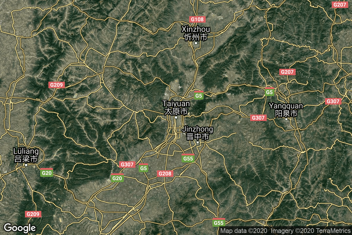
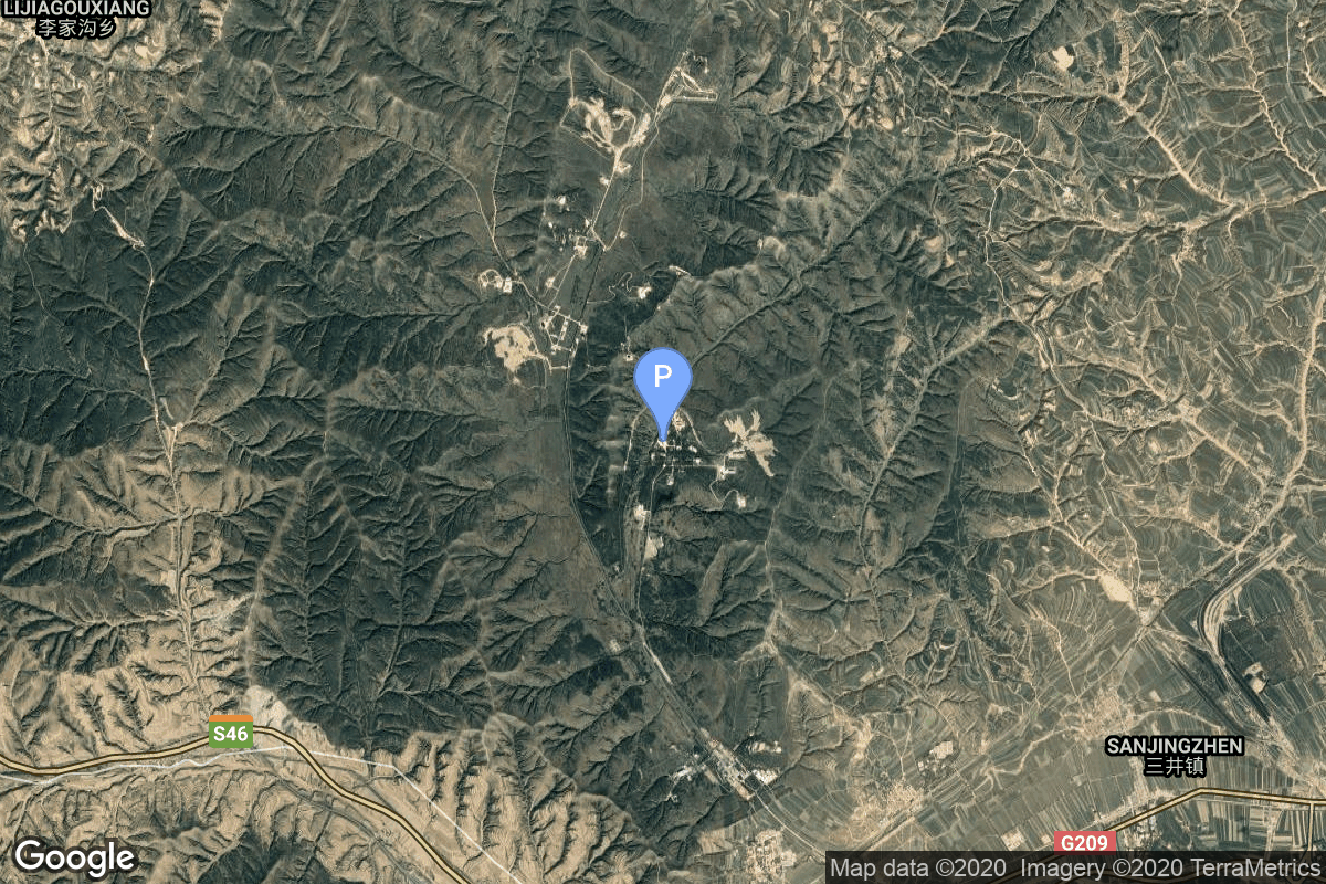
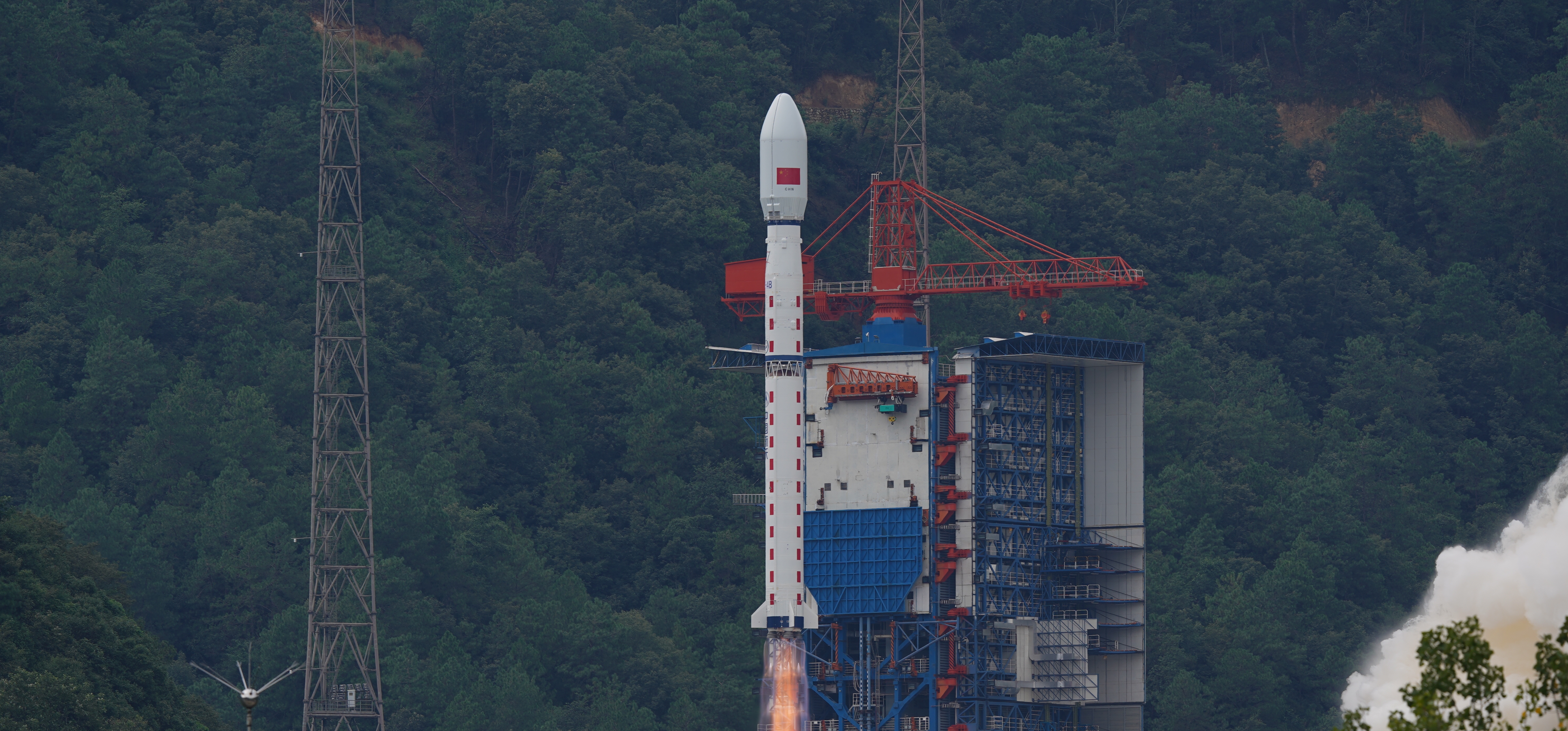
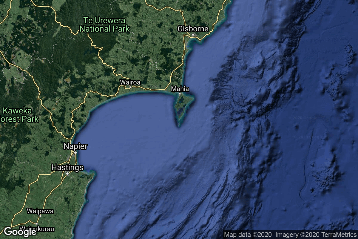
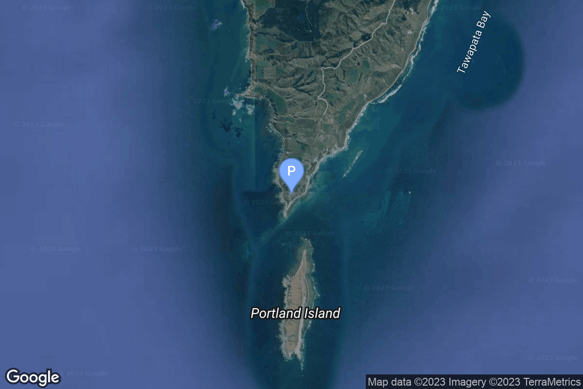
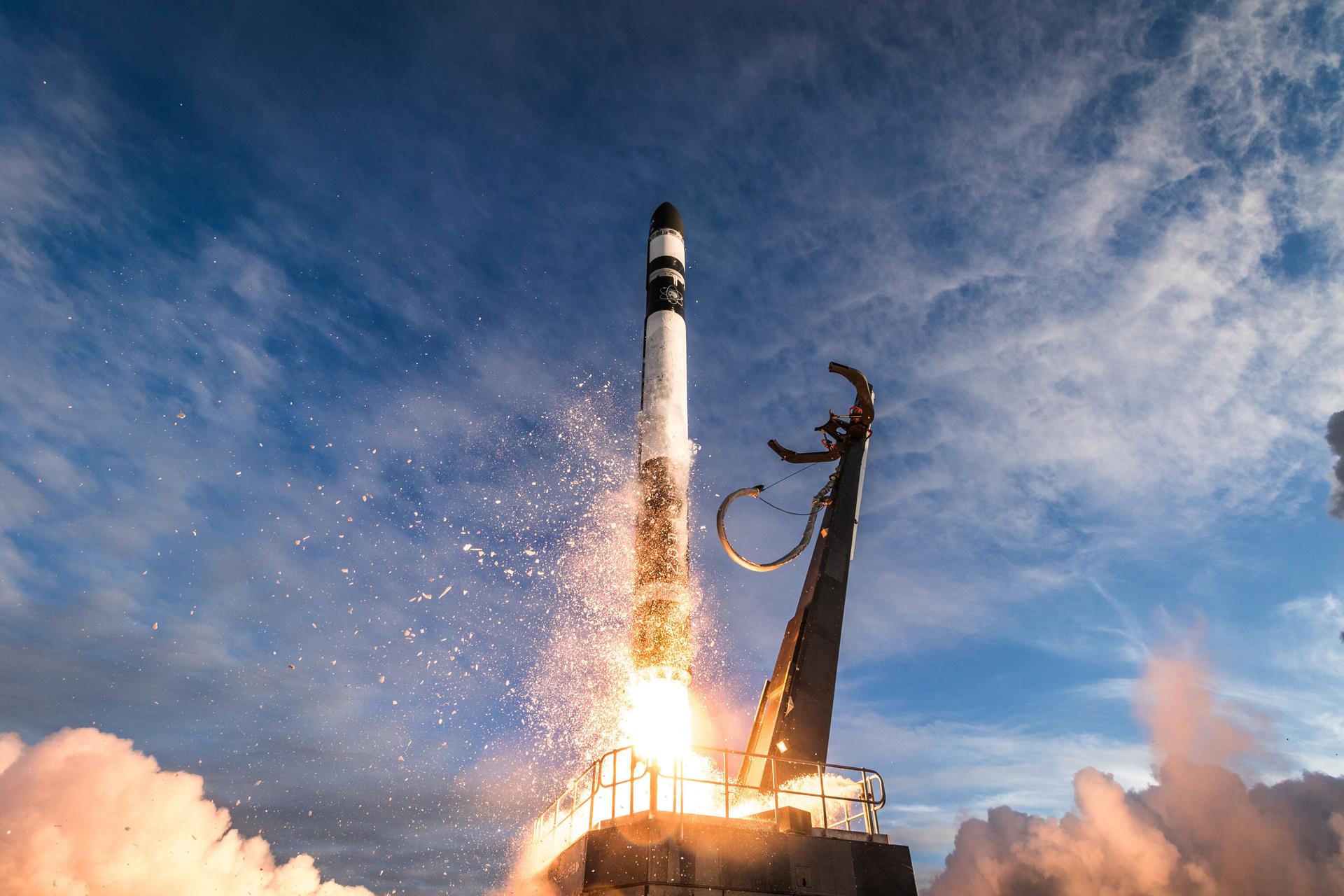
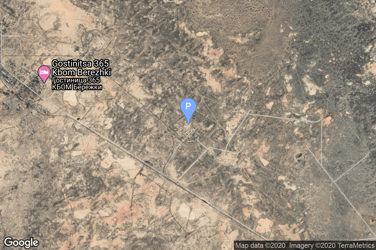
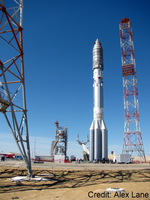
{ "count": 7967, "next": "https://ll.thespacedevs.com/2.2.0/launch/?format=api&limit=10&offset=6770&ordering=-id", "previous": "https://ll.thespacedevs.com/2.2.0/launch/?format=api&limit=10&offset=6750&ordering=-id", "results": [ { "id": "281efc24-79d6-43fe-8c0d-70553f8794e0", "url": "https://ll.thespacedevs.com/2.2.0/launch/281efc24-79d6-43fe-8c0d-70553f8794e0/?format=api", "slug": "long-march-4b-huanjing-2a-2b", "name": "Long March 4B | Huanjing 2A, 2B", "status": { "id": 3, "name": "Launch Successful", "abbrev": "Success", "description": "The launch vehicle successfully inserted its payload(s) into the target orbit(s)." }, "last_updated": "2023-06-14T03:42:36Z", "net": "2020-09-27T03:23:04Z", "window_end": "2020-09-27T03:23:04Z", "window_start": "2020-09-27T03:23:04Z", "net_precision": null, "probability": null, "weather_concerns": null, "holdreason": "", "failreason": null, "hashtag": null, "launch_service_provider": { "id": 88, "url": "https://ll.thespacedevs.com/2.2.0/agencies/88/?format=api", "name": "China Aerospace Science and Technology Corporation", "type": "Government" }, "rocket": { "id": 2794, "configuration": { "id": 10, "url": "https://ll.thespacedevs.com/2.2.0/config/launcher/10/?format=api", "name": "Long March 4B", "family": "Long March", "full_name": "Long March 4B", "variant": "B" } }, "mission": { "id": 1194, "name": "Huanjing 2A, 2B", "description": "Huanjing (abbreviated as HJ) is a constellation of environmental monitoring satellites. The HJ-2A and HJ-2B are 16-meter optical satellites which will provide 16-meter multispectral, 48-meter hyperspectral and infrared image data.", "launch_designator": null, "type": "Earth Science", "orbit": { "id": 17, "name": "Sun-Synchronous Orbit", "abbrev": "SSO" }, "agencies": [], "info_urls": [], "vid_urls": [] }, "pad": { "id": 25, "url": "https://ll.thespacedevs.com/2.2.0/pad/25/?format=api", "agency_id": null, "name": "Launch Complex 9", "description": "", "info_url": null, "wiki_url": null, "map_url": "https://www.google.com/maps?q=38.863128,111.589567", "latitude": "38.863128", "longitude": "111.589567", "location": { "id": 19, "url": "https://ll.thespacedevs.com/2.2.0/location/19/?format=api", "name": "Taiyuan Satellite Launch Center, People's Republic of China", "country_code": "CHN", "description": "The Taiyuan Satellite Launch Center is a People's Republic of China space and defense launch facility. It is situated in Kelan County, Xinzhou, Shanxi Province and is the second of four launch sites having been founded in March 1966 and coming into full operation in 1968.", "map_image": "https://thespacedevs-prod.nyc3.digitaloceanspaces.com/media/map_images/location_19_20200803142421.jpg", "timezone_name": "Asia/Shanghai", "total_launch_count": 160, "total_landing_count": 0 }, "country_code": "CHN", "map_image": "https://thespacedevs-prod.nyc3.digitaloceanspaces.com/media/map_images/pad_25_20200803143501.jpg", "total_launch_count": 79, "orbital_launch_attempt_count": 79 }, "webcast_live": false, "image": "https://thespacedevs-prod.nyc3.digitaloceanspaces.com/media/images/long_march_4b_l_image_20251209044050.jpeg", "infographic": null, "program": [], "orbital_launch_attempt_count": 5997, "location_launch_attempt_count": 88, "pad_launch_attempt_count": 48, "agency_launch_attempt_count": 295, "orbital_launch_attempt_count_year": 75, "location_launch_attempt_count_year": 6, "pad_launch_attempt_count_year": 6, "agency_launch_attempt_count_year": 25, "type": "normal" }, { "id": "280fba47-8e6e-4a4f-8bdd-b9687d99a9c5", "url": "https://ll.thespacedevs.com/2.2.0/launch/280fba47-8e6e-4a4f-8bdd-b9687d99a9c5/?format=api", "slug": "electron-blacksky-gen-3-8", "name": "Electron | BlackSky Gen-3 8", "status": { "id": 2, "name": "To Be Determined", "abbrev": "TBD", "description": "Current date is a placeholder or rough estimation based on unreliable or interpreted sources." }, "last_updated": "2026-02-26T21:50:04Z", "net": "2026-12-31T00:00:00Z", "window_end": "2026-12-31T00:00:00Z", "window_start": "2026-12-31T00:00:00Z", "net_precision": { "id": 14, "name": "Year", "abbrev": "Y", "description": "The T-0 is expected in the given year." }, "probability": null, "weather_concerns": null, "holdreason": "", "failreason": "", "hashtag": null, "launch_service_provider": { "id": 147, "url": "https://ll.thespacedevs.com/2.2.0/agencies/147/?format=api", "name": "Rocket Lab", "type": "Commercial" }, "rocket": { "id": 8925, "configuration": { "id": 26, "url": "https://ll.thespacedevs.com/2.2.0/config/launcher/26/?format=api", "name": "Electron", "family": "", "full_name": "Electron", "variant": "" } }, "mission": { "id": 7517, "name": "BlackSky Gen-3 8", "description": "BlackSky Gen-3 Earth-imaging satellites", "launch_designator": null, "type": "Earth Science", "orbit": { "id": 8, "name": "Low Earth Orbit", "abbrev": "LEO" }, "agencies": [], "info_urls": [], "vid_urls": [] }, "pad": { "id": 210, "url": "https://ll.thespacedevs.com/2.2.0/pad/210/?format=api", "agency_id": null, "name": "Unknown Pad", "description": null, "info_url": null, "wiki_url": null, "map_url": null, "latitude": "-39.260881", "longitude": "177.865826", "location": { "id": 10, "url": "https://ll.thespacedevs.com/2.2.0/location/10/?format=api", "name": "Rocket Lab Launch Complex 1, Mahia Peninsula, New Zealand", "country_code": "NZL", "description": "Rocket Lab Launch Complex 1 is a commercial spaceport located close to Ahuriri Point at the southern tip of Māhia Peninsula, on the east coast of New Zealand's North Island. It is owned and operated by private spaceflight company Rocket Lab and supports launches of the company's Electron rocket for small satellites. With the launch of Electron on 25 May 2017, it became the first private spaceport to host an orbital launch attempt, and the first site in New Zealand to host an orbital launch attempt. With the Electron launch of 21 January 2018, it became the first private spaceport to host a successful orbital launch.", "map_image": "https://thespacedevs-prod.nyc3.digitaloceanspaces.com/media/map_images/location_10_20200803142509.jpg", "timezone_name": "Pacific/Auckland", "total_launch_count": 81, "total_landing_count": 17 }, "country_code": "NZL", "map_image": "https://thespacedevs-prod.nyc3.digitaloceanspaces.com/media/map_images/pad_210_20230819165718.jpg", "total_launch_count": 0, "orbital_launch_attempt_count": 0 }, "webcast_live": false, "image": "https://thespacedevs-prod.nyc3.digitaloceanspaces.com/media/images/electron_image_20190705175640.jpeg", "infographic": null, "program": [], "orbital_launch_attempt_count": 7522, "location_launch_attempt_count": 93, "pad_launch_attempt_count": 12, "agency_launch_attempt_count": 109, "orbital_launch_attempt_count_year": 349, "location_launch_attempt_count_year": 24, "pad_launch_attempt_count_year": 12, "agency_launch_attempt_count_year": 30, "type": "normal" }, { "id": "27fd5d5a-6935-4697-98b4-b409f029e2f0", "url": "https://ll.thespacedevs.com/2.2.0/launch/27fd5d5a-6935-4697-98b4-b409f029e2f0/?format=api", "slug": "proton-m-mlm-nauka", "name": "Proton-M | MLM Nauka", "status": { "id": 3, "name": "Launch Successful", "abbrev": "Success", "description": "The launch vehicle successfully inserted its payload(s) into the target orbit(s)." }, "last_updated": "2023-06-14T03:35:01Z", "net": "2021-07-21T14:58:25Z", "window_end": "2021-07-21T14:58:25Z", "window_start": "2021-07-21T14:58:25Z", "net_precision": null, "probability": null, "weather_concerns": null, "holdreason": "", "failreason": "", "hashtag": null, "launch_service_provider": { "id": 96, "url": "https://ll.thespacedevs.com/2.2.0/agencies/96/?format=api", "name": "Khrunichev State Research and Production Space Center", "type": "Government" }, "rocket": { "id": 124, "configuration": { "id": 152, "url": "https://ll.thespacedevs.com/2.2.0/config/launcher/152/?format=api", "name": "Proton-M", "family": "Proton / UR-500", "full_name": "Proton-M", "variant": "" } }, "mission": { "id": 656, "name": "MLM Nauka", "description": "Nauka (which means \"Science\" in Russian), also known as Multipurpose Laboratory Module (MLM), is a new module of the russian segment of the ISS. It will dock at Zvezda's nadir port, replacing the Pirs module occupying it since September 2001. The Nauka module is designed to be used for experiments, docking and cargo as well as serve as a crew work and rest area. It is equipped with full guidance and navigation control including engines and an attitude control system that can be used as a backup by the ISS. The Nauka module also brings the European Robotic Arm, for which a spare elbow joint was already launched in 2010, to the orbital laboratory.", "launch_designator": null, "type": "Human Exploration", "orbit": { "id": 8, "name": "Low Earth Orbit", "abbrev": "LEO" }, "agencies": [], "info_urls": [], "vid_urls": [] }, "pad": { "id": 15, "url": "https://ll.thespacedevs.com/2.2.0/pad/15/?format=api", "agency_id": null, "name": "200/39 (200L)", "description": null, "info_url": null, "wiki_url": "", "map_url": "https://www.google.com/maps?q=46.039984,63.032093", "latitude": "46.039984", "longitude": "63.032093", "location": { "id": 15, "url": "https://ll.thespacedevs.com/2.2.0/location/15/?format=api", "name": "Baikonur Cosmodrome, Republic of Kazakhstan", "country_code": "KAZ", "description": "The Baikonur Cosmodrome is a spaceport operated by Russia within Kazakhstan. Located in the Kazakh city of Baikonur, it is the largest operational space launch facility in terms of area. All Russian crewed spaceflights are launched from Baikonur.", "map_image": "https://thespacedevs-prod.nyc3.digitaloceanspaces.com/media/map_images/location_15_20200803142517.jpg", "timezone_name": "Asia/Qyzylorda", "total_launch_count": 1564, "total_landing_count": 0 }, "country_code": "KAZ", "map_image": "https://thespacedevs-prod.nyc3.digitaloceanspaces.com/media/map_images/pad_15_20200803143530.jpg", "total_launch_count": 167, "orbital_launch_attempt_count": 167 }, "webcast_live": false, "image": "https://thespacedevs-prod.nyc3.digitaloceanspaces.com/media/images/proton-m_image_20201205235758.jpg", "infographic": null, "program": [], "orbital_launch_attempt_count": 6106, "location_launch_attempt_count": 1521, "pad_launch_attempt_count": 165, "agency_launch_attempt_count": 187, "orbital_launch_attempt_count_year": 69, "location_launch_attempt_count_year": 6, "pad_launch_attempt_count_year": 1, "agency_launch_attempt_count_year": 1, "type": "normal" }, { "id": "27f9cef9-59ed-4c3f-8e09-e70ee78fe8c1", "url": "https://ll.thespacedevs.com/2.2.0/launch/27f9cef9-59ed-4c3f-8e09-e70ee78fe8c1/?format=api", "slug": "tsiklon-3-strela-3-37-to-42", "name": "Tsiklon-3 | Strela-3 37 to 42", "status": { "id": 3, "name": "Launch Successful", "abbrev": "Success", "description": "The launch vehicle successfully inserted its payload(s) into the target orbit(s)." }, "last_updated": "2023-06-14T04:22:43Z", "net": "1989-02-10T15:13:56Z", "window_end": "1989-02-10T15:13:56Z", "window_start": "1989-02-10T15:13:56Z", "net_precision": null, "probability": null, "weather_concerns": null, "holdreason": "", "failreason": null, "hashtag": null, "launch_service_provider": { "id": 66, "url": "https://ll.thespacedevs.com/2.2.0/agencies/66/?format=api", "name": "Soviet Space Program", "type": "Government" }, "rocket": { "id": 6147, "configuration": { "id": 445, "url": "https://ll.thespacedevs.com/2.2.0/config/launcher/445/?format=api", "name": "Tsiklon-3", "family": "Tsiklon", "full_name": "Tsiklon-3", "variant": "3" } }, "mission": { "id": 4537, "name": "Strela-3 37 to 42", "description": "Second generation store-dump military communications satellite", "launch_designator": null, "type": "Government/Top Secret", "orbit": { "id": 8, "name": "Low Earth Orbit", "abbrev": "LEO" }, "agencies": [], "info_urls": [], "vid_urls": [] }, "pad": { "id": 126, "url": "https://ll.thespacedevs.com/2.2.0/pad/126/?format=api", "agency_id": 63, "name": "32/1", "description": null, "info_url": null, "wiki_url": "https://en.wikipedia.org/wiki/Plesetsk_Cosmodrome_Site_32", "map_url": "https://www.google.com/maps?q=62.9063889,40.7844727", "latitude": "62.9063889", "longitude": "40.7844727", "location": { "id": 6, "url": "https://ll.thespacedevs.com/2.2.0/location/6/?format=api", "name": "Plesetsk Cosmodrome, Russian Federation", "country_code": "RUS", "description": "Plesetsk Cosmodrome is a Russian spaceport located in Mirny, Arkhangelsk Oblast, about 800 km north of Moscow and approximately 200 km south of Arkhangelsk. Originally developed as an ICBM site for the R-7 missile, it also served for numerous satellite launches using the R-7 and other rockets. Its high latitude makes it useful only for certain types of launches, especially the Molniya orbits, so for much of the site's history it functioned as a secondary location, with most orbital launches taking place from Baikonur, in the Kazakh SSR. With the end of the Soviet Union, Baikonur became a foreign territory, and Kazakhstan charged $115 million usage fees annually. Consequently, Plesetsk has seen considerably more activity since the 2000s.", "map_image": "https://thespacedevs-prod.nyc3.digitaloceanspaces.com/media/map_images/location_6_20200803142434.jpg", "timezone_name": "Europe/Moscow", "total_launch_count": 1687, "total_landing_count": 0 }, "country_code": "RUS", "map_image": "https://thespacedevs-prod.nyc3.digitaloceanspaces.com/media/map_images/pad_126_20200803143238.jpg", "total_launch_count": 57, "orbital_launch_attempt_count": 57 }, "webcast_live": false, "image": "https://thespacedevs-prod.nyc3.digitaloceanspaces.com/media/images/tsyklon-3_launc_image_20251112153513.png", "infographic": null, "program": [], "orbital_launch_attempt_count": 3383, "location_launch_attempt_count": 1250, "pad_launch_attempt_count": 36, "agency_launch_attempt_count": 2249, "orbital_launch_attempt_count_year": 9, "location_launch_attempt_count_year": 3, "pad_launch_attempt_count_year": 1, "agency_launch_attempt_count_year": 8, "type": "normal" }, { "id": "27e77ed0-a6ed-4de5-83ca-e484470e428e", "url": "https://ll.thespacedevs.com/2.2.0/launch/27e77ed0-a6ed-4de5-83ca-e484470e428e/?format=api", "slug": "delta-ii-gps-iia-5", "name": "Delta II | GPS IIA-5", "status": { "id": 3, "name": "Launch Successful", "abbrev": "Success", "description": "The launch vehicle successfully inserted its payload(s) into the target orbit(s)." }, "last_updated": "2024-01-02T15:18:25Z", "net": "1992-07-07T09:20:01Z", "window_end": "1992-07-07T09:20:01Z", "window_start": "1992-07-07T09:20:01Z", "net_precision": null, "probability": null, "weather_concerns": null, "holdreason": "", "failreason": "", "hashtag": null, "launch_service_provider": { "id": 161, "url": "https://ll.thespacedevs.com/2.2.0/agencies/161/?format=api", "name": "United States Air Force", "type": "Government" }, "rocket": { "id": 6447, "configuration": { "id": 159, "url": "https://ll.thespacedevs.com/2.2.0/config/launcher/159/?format=api", "name": "Delta II", "family": "Delta", "full_name": "Delta II 7925", "variant": "7925" } }, "mission": { "id": 4837, "name": "GPS IIA-5", "description": "GPS-2A (Global Positioning System) or Navstar-2A (Navigation System using Timing And ranging) are improved satellites of the second generation of the GPS navigation system.", "launch_designator": null, "type": "Navigation", "orbit": { "id": 12, "name": "Medium Earth Orbit", "abbrev": "MEO" }, "agencies": [], "info_urls": [], "vid_urls": [] }, "pad": { "id": 1, "url": "https://ll.thespacedevs.com/2.2.0/pad/1/?format=api", "agency_id": null, "name": "Space Launch Complex 17B", "description": "", "info_url": null, "wiki_url": "https://en.wikipedia.org/wiki/Cape_Canaveral_Space_Launch_Complex_17", "map_url": "https://www.google.com/maps?q=28.4458,-80.5657", "latitude": "28.4458", "longitude": "-80.5657", "location": { "id": 12, "url": "https://ll.thespacedevs.com/2.2.0/location/12/?format=api", "name": "Cape Canaveral SFS, FL, USA", "country_code": "USA", "description": "Cape Canaveral Space Force Station (CCSFS) is an installation of the United States Space Force's Space Launch Delta 45, located on Cape Canaveral in Brevard County, Florida.", "map_image": "https://thespacedevs-prod.nyc3.digitaloceanspaces.com/media/map_images/location_12_20200803142519.jpg", "timezone_name": "America/New_York", "total_launch_count": 1128, "total_landing_count": 79 }, "country_code": "USA", "map_image": "https://thespacedevs-prod.nyc3.digitaloceanspaces.com/media/map_images/pad_1_20200803143208.jpg", "total_launch_count": 132, "orbital_launch_attempt_count": 132 }, "webcast_live": false, "image": "https://thespacedevs-prod.nyc3.digitaloceanspaces.com/media/images/delta2520ii_image_20190222030440.jpeg", "infographic": null, "program": [ { "id": 29, "url": "https://ll.thespacedevs.com/2.2.0/program/29/?format=api", "name": "Global Positioning System", "description": "The Global Positioning System (GPS), originally Navstar GPS, is a satellite-based radio navigation system owned by the United States government and operated by the United States Space Force. It is one of the global navigation satellite systems (GNSS) that provide geolocation and time information to a GPS receiver anywhere on or near the Earth where there is an unobstructed line of sight to four or more GPS satellites.", "agencies": [ { "id": 1041, "url": "https://ll.thespacedevs.com/2.2.0/agencies/1041/?format=api", "name": "United States Space Force", "type": "Government" } ], "image_url": "https://thespacedevs-prod.nyc3.digitaloceanspaces.com/media/images/global2520posi_program_20231229182501.png", "start_date": "1978-02-22T00:00:00Z", "end_date": null, "info_url": "https://www.gps.gov/", "wiki_url": "https://en.wikipedia.org/wiki/Global_Positioning_System", "mission_patches": [], "type": { "id": 4, "name": "Navigation Constellation" } } ], "orbital_launch_attempt_count": 3728, "location_launch_attempt_count": 458, "pad_launch_attempt_count": 92, "agency_launch_attempt_count": 912, "orbital_launch_attempt_count_year": 40, "location_launch_attempt_count_year": 9, "pad_launch_attempt_count_year": 4, "agency_launch_attempt_count_year": 9, "type": "normal" }, { "id": "27da9300-1cd7-4371-a8d9-d7cb19a40bfc", "url": "https://ll.thespacedevs.com/2.2.0/launch/27da9300-1cd7-4371-a8d9-d7cb19a40bfc/?format=api", "slug": "soyuz-21bfregat-glonass-m-no-53-kosmos-2516", "name": "Soyuz-2.1b/Fregat | Glonass-M No. 53 (Kosmos 2516)", "status": { "id": 3, "name": "Launch Successful", "abbrev": "Success", "description": "The launch vehicle successfully inserted its payload(s) into the target orbit(s)." }, "last_updated": "2023-06-14T04:10:51Z", "net": "2016-05-29T08:44:37Z", "window_end": "2016-05-29T08:44:37Z", "window_start": "2016-05-29T08:44:37Z", "net_precision": null, "probability": null, "weather_concerns": null, "holdreason": "", "failreason": "", "hashtag": null, "launch_service_provider": { "id": 193, "url": "https://ll.thespacedevs.com/2.2.0/agencies/193/?format=api", "name": "Russian Space Forces", "type": "Government" }, "rocket": { "id": 1929, "configuration": { "id": 42, "url": "https://ll.thespacedevs.com/2.2.0/config/launcher/42/?format=api", "name": "Soyuz 2.1b/Fregat", "family": "Soyuz", "full_name": "Soyuz 2.1b Fregat", "variant": "Fregat" } }, "mission": { "id": 177, "name": "Glonass-M No. 53 (Kosmos 2516)", "description": "Glonass-M, also known as Uragan-M, are the second generation of Uragan satellite design used for GLONASS satellite navigation system. GLONASS is a Russian space-based navigation system comparable to the similar GPS and Galileo systems. This generation improves on accuracy, power consumption and design life. Each satellite weighs 1415 kg, is equipped with 12 L-band antennas, and has an operational lifetime of 7 years.", "launch_designator": null, "type": "Navigation", "orbit": { "id": 12, "name": "Medium Earth Orbit", "abbrev": "MEO" }, "agencies": [], "info_urls": [], "vid_urls": [] }, "pad": { "id": 85, "url": "https://ll.thespacedevs.com/2.2.0/pad/85/?format=api", "agency_id": 163, "name": "43/4 (43R)", "description": "", "info_url": null, "wiki_url": null, "map_url": "https://www.google.com/maps?q=62.92883,40.457098", "latitude": "62.92883", "longitude": "40.457098", "location": { "id": 6, "url": "https://ll.thespacedevs.com/2.2.0/location/6/?format=api", "name": "Plesetsk Cosmodrome, Russian Federation", "country_code": "RUS", "description": "Plesetsk Cosmodrome is a Russian spaceport located in Mirny, Arkhangelsk Oblast, about 800 km north of Moscow and approximately 200 km south of Arkhangelsk. Originally developed as an ICBM site for the R-7 missile, it also served for numerous satellite launches using the R-7 and other rockets. Its high latitude makes it useful only for certain types of launches, especially the Molniya orbits, so for much of the site's history it functioned as a secondary location, with most orbital launches taking place from Baikonur, in the Kazakh SSR. With the end of the Soviet Union, Baikonur became a foreign territory, and Kazakhstan charged $115 million usage fees annually. Consequently, Plesetsk has seen considerably more activity since the 2000s.", "map_image": "https://thespacedevs-prod.nyc3.digitaloceanspaces.com/media/map_images/location_6_20200803142434.jpg", "timezone_name": "Europe/Moscow", "total_launch_count": 1687, "total_landing_count": 0 }, "country_code": "RUS", "map_image": "https://thespacedevs-prod.nyc3.digitaloceanspaces.com/media/map_images/pad_85_20200803143554.jpg", "total_launch_count": 329, "orbital_launch_attempt_count": 329 }, "webcast_live": false, "image": "https://thespacedevs-prod.nyc3.digitaloceanspaces.com/media/images/soyuz_2.1b_image_20230802085331.jpg", "infographic": null, "program": [ { "id": 34, "url": "https://ll.thespacedevs.com/2.2.0/program/34/?format=api", "name": "GLONASS", "description": "GLONASS (ГЛОНАСС, IPA: [ɡɫɐˈnas]; Russian: Глобальная навигационная спутниковая система, tr. Global'naya Navigatsionnaya Sputnikovaya Sistema, lit. 'Global Navigation Satellite System') is a Russian satellite navigation system operating as part of a radionavigation-satellite service. It provides an alternative to Global Positioning System (GPS) and is the second navigational system in operation with global coverage and of comparable precision.", "agencies": [ { "id": 63, "url": "https://ll.thespacedevs.com/2.2.0/agencies/63/?format=api", "name": "Russian Federal Space Agency (ROSCOSMOS)", "type": "Government" } ], "image_url": "https://thespacedevs-prod.nyc3.digitaloceanspaces.com/media/images/glonass_program_20240102170258.png", "start_date": "1982-10-12T00:00:00Z", "end_date": null, "info_url": "https://www.glonass-iac.ru/en/", "wiki_url": "https://en.wikipedia.org/wiki/GLONASS", "mission_patches": [], "type": { "id": 4, "name": "Navigation Constellation" } } ], "orbital_launch_attempt_count": 5561, "location_launch_attempt_count": 1614, "pad_launch_attempt_count": 287, "agency_launch_attempt_count": 91, "orbital_launch_attempt_count_year": 32, "location_launch_attempt_count_year": 4, "pad_launch_attempt_count_year": 3, "agency_launch_attempt_count_year": 3, "type": "normal" }, { "id": "27cd1bcf-70f3-4467-8b84-8aebbdf08140", "url": "https://ll.thespacedevs.com/2.2.0/launch/27cd1bcf-70f3-4467-8b84-8aebbdf08140/?format=api", "slug": "kosmos-3m-zaliv-12", "name": "Kosmos-3M | Zaliv 12", "status": { "id": 4, "name": "Launch Failure", "abbrev": "Failure", "description": "Either the launch vehicle did not reach orbit, or the payload(s) failed to separate." }, "last_updated": "2023-06-14T03:43:45Z", "net": "1973-05-25T09:15:34Z", "window_end": "1973-05-25T09:15:34Z", "window_start": "1973-05-25T09:15:34Z", "net_precision": null, "probability": null, "weather_concerns": null, "holdreason": "", "failreason": null, "hashtag": null, "launch_service_provider": { "id": 66, "url": "https://ll.thespacedevs.com/2.2.0/agencies/66/?format=api", "name": "Soviet Space Program", "type": "Government" }, "rocket": { "id": 4361, "configuration": { "id": 102, "url": "https://ll.thespacedevs.com/2.2.0/config/launcher/102/?format=api", "name": "Kosmos-3M", "family": "Kosmos", "full_name": "Kosmos-3M (11K65M)", "variant": "-3M" } }, "mission": { "id": 2779, "name": "Zaliv 12", "description": "The first soviet navigation system called Tsiklon consisted of Zaliv satellites in low earth orbit.", "launch_designator": null, "type": "Navigation", "orbit": { "id": 8, "name": "Low Earth Orbit", "abbrev": "LEO" }, "agencies": [], "info_urls": [], "vid_urls": [] }, "pad": { "id": 28, "url": "https://ll.thespacedevs.com/2.2.0/pad/28/?format=api", "agency_id": 163, "name": "132/1 (132L)", "description": null, "info_url": null, "wiki_url": "", "map_url": "https://www.google.com/maps?q=62.883229,40.868549", "latitude": "62.883229", "longitude": "40.868549", "location": { "id": 6, "url": "https://ll.thespacedevs.com/2.2.0/location/6/?format=api", "name": "Plesetsk Cosmodrome, Russian Federation", "country_code": "RUS", "description": "Plesetsk Cosmodrome is a Russian spaceport located in Mirny, Arkhangelsk Oblast, about 800 km north of Moscow and approximately 200 km south of Arkhangelsk. Originally developed as an ICBM site for the R-7 missile, it also served for numerous satellite launches using the R-7 and other rockets. Its high latitude makes it useful only for certain types of launches, especially the Molniya orbits, so for much of the site's history it functioned as a secondary location, with most orbital launches taking place from Baikonur, in the Kazakh SSR. With the end of the Soviet Union, Baikonur became a foreign territory, and Kazakhstan charged $115 million usage fees annually. Consequently, Plesetsk has seen considerably more activity since the 2000s.", "map_image": "https://thespacedevs-prod.nyc3.digitaloceanspaces.com/media/map_images/location_6_20200803142434.jpg", "timezone_name": "Europe/Moscow", "total_launch_count": 1687, "total_landing_count": 0 }, "country_code": "RUS", "map_image": "https://thespacedevs-prod.nyc3.digitaloceanspaces.com/media/map_images/pad_28_20200803143254.jpg", "total_launch_count": 212, "orbital_launch_attempt_count": 212 }, "webcast_live": false, "image": "https://thespacedevs-prod.nyc3.digitaloceanspaces.com/media/images/kosmos-3m_durin_image_20251101171325.jpg", "infographic": null, "program": [], "orbital_launch_attempt_count": 1456, "location_launch_attempt_count": 290, "pad_launch_attempt_count": 24, "agency_launch_attempt_count": 739, "orbital_launch_attempt_count_year": 34, "location_launch_attempt_count_year": 16, "pad_launch_attempt_count_year": 3, "agency_launch_attempt_count_year": 27, "type": "normal" }, { "id": "27c87f77-330d-45e4-a926-9f2a12d73cd2", "url": "https://ll.thespacedevs.com/2.2.0/launch/27c87f77-330d-45e4-a926-9f2a12d73cd2/?format=api", "slug": "soyuz-u-soyuz-32", "name": "Soyuz-U | Soyuz 32", "status": { "id": 3, "name": "Launch Successful", "abbrev": "Success", "description": "The launch vehicle successfully inserted its payload(s) into the target orbit(s)." }, "last_updated": "2023-06-14T08:42:48Z", "net": "1979-02-25T11:53:49Z", "window_end": "1979-02-25T11:53:49Z", "window_start": "1979-02-25T11:53:49Z", "net_precision": { "id": 0, "name": "Second", "abbrev": "SEC", "description": "The T-0 is accurate to the second." }, "probability": null, "weather_concerns": null, "holdreason": "", "failreason": "", "hashtag": null, "launch_service_provider": { "id": 66, "url": "https://ll.thespacedevs.com/2.2.0/agencies/66/?format=api", "name": "Soviet Space Program", "type": "Government" }, "rocket": { "id": 269, "configuration": { "id": 37, "url": "https://ll.thespacedevs.com/2.2.0/config/launcher/37/?format=api", "name": "Soyuz U", "family": "Soyuz", "full_name": "Soyuz U", "variant": "" } }, "mission": { "id": 847, "name": "Soyuz 32", "description": "Soyuz 32 was the seventh mission to visit the Salyut 6 space station and carried the EO-3 expedition, which was the third long-duration crew for the station. The mission began on February 25, 1979, 11:53:49 UTC, launching Commander Vladimir Lyakhov and Flight Engineer Valery Ryumin into orbit. They docked with the station the next day. During their 175-day stay on the station, EO-3 crew conducted various scientific experiments, performed an EVA and were visited by three uncrewed Progress cargo spacecrafts and an uncrewed Soyuz 34. Soyuz 32 crew returned to Earth in Soyuz 34 spacecraft, while their own spacecraft returned uncrewed several days later.\nThe mission concluded with a safe landing back on Earth on August 19, 1979, 12:29:26 UTC.", "launch_designator": null, "type": "Human Exploration", "orbit": { "id": 8, "name": "Low Earth Orbit", "abbrev": "LEO" }, "agencies": [], "info_urls": [], "vid_urls": [] }, "pad": { "id": 32, "url": "https://ll.thespacedevs.com/2.2.0/pad/32/?format=api", "agency_id": null, "name": "1/5", "description": null, "info_url": null, "wiki_url": "", "map_url": "https://www.google.com/maps?q=45.92,63.342", "latitude": "45.92", "longitude": "63.342", "location": { "id": 15, "url": "https://ll.thespacedevs.com/2.2.0/location/15/?format=api", "name": "Baikonur Cosmodrome, Republic of Kazakhstan", "country_code": "KAZ", "description": "The Baikonur Cosmodrome is a spaceport operated by Russia within Kazakhstan. Located in the Kazakh city of Baikonur, it is the largest operational space launch facility in terms of area. All Russian crewed spaceflights are launched from Baikonur.", "map_image": "https://thespacedevs-prod.nyc3.digitaloceanspaces.com/media/map_images/location_15_20200803142517.jpg", "timezone_name": "Asia/Qyzylorda", "total_launch_count": 1564, "total_landing_count": 0 }, "country_code": "KAZ", "map_image": "https://thespacedevs-prod.nyc3.digitaloceanspaces.com/media/map_images/pad_32_20200803143513.jpg", "total_launch_count": 487, "orbital_launch_attempt_count": 487 }, "webcast_live": false, "image": "https://thespacedevs-prod.nyc3.digitaloceanspaces.com/media/images/soyuz2520u_image_20190222031023.jpeg", "infographic": null, "program": [ { "id": 23, "url": "https://ll.thespacedevs.com/2.2.0/program/23/?format=api", "name": "Salyut", "description": "The Salyut programme was the first space station programme, undertaken by the Soviet Union. It involved a series of four crewed scientific research space stations and two crewed military reconnaissance space stations over a period of 15 years, from 1971 to 1986.", "agencies": [ { "id": 66, "url": "https://ll.thespacedevs.com/2.2.0/agencies/66/?format=api", "name": "Soviet Space Program", "type": "Government" } ], "image_url": "https://thespacedevs-prod.nyc3.digitaloceanspaces.com/media/images/salyut_program_20230506090532.png", "start_date": "1971-04-19T01:40:00Z", "end_date": "1986-07-16T12:34:05Z", "info_url": null, "wiki_url": "https://en.wikipedia.org/wiki/Salyut_programme", "mission_patches": [], "type": { "id": 2, "name": "Human Spaceflight" } }, { "id": 8, "url": "https://ll.thespacedevs.com/2.2.0/program/8/?format=api", "name": "Soyuz", "description": "The Soyuz programme is a human spaceflight programme initiated by the Soviet Union in the early 1960s. The Soyuz spacecraft was originally part of a Moon landing project intended to put a Soviet cosmonaut on the Moon. It was the third Soviet human spaceflight programme after the Vostok and Voskhod programmes.", "agencies": [ { "id": 63, "url": "https://ll.thespacedevs.com/2.2.0/agencies/63/?format=api", "name": "Russian Federal Space Agency (ROSCOSMOS)", "type": "Government" }, { "id": 66, "url": "https://ll.thespacedevs.com/2.2.0/agencies/66/?format=api", "name": "Soviet Space Program", "type": "Government" } ], "image_url": "https://thespacedevs-prod.nyc3.digitaloceanspaces.com/media/images/soyuz_program_20201129185543.png", "start_date": "1966-11-28T11:02:00Z", "end_date": null, "info_url": null, "wiki_url": "https://en.wikipedia.org/wiki/Soyuz_programme", "mission_patches": [], "type": { "id": 2, "name": "Human Spaceflight" } } ], "orbital_launch_attempt_count": 2192, "location_launch_attempt_count": 539, "pad_launch_attempt_count": 171, "agency_launch_attempt_count": 1287, "orbital_launch_attempt_count_year": 19, "location_launch_attempt_count_year": 4, "pad_launch_attempt_count_year": 1, "agency_launch_attempt_count_year": 14, "type": "normal" }, { "id": "27c791de-6981-47fd-b673-d5469d14f202", "url": "https://ll.thespacedevs.com/2.2.0/launch/27c791de-6981-47fd-b673-d5469d14f202/?format=api", "slug": "delta-ii-gps-iia-12", "name": "Delta II | GPS IIA-12", "status": { "id": 3, "name": "Launch Successful", "abbrev": "Success", "description": "The launch vehicle successfully inserted its payload(s) into the target orbit(s)." }, "last_updated": "2024-01-02T15:03:42Z", "net": "1993-06-26T13:27:00Z", "window_end": "1993-06-26T13:27:00Z", "window_start": "1993-06-26T13:27:00Z", "net_precision": null, "probability": null, "weather_concerns": null, "holdreason": "", "failreason": "", "hashtag": null, "launch_service_provider": { "id": 161, "url": "https://ll.thespacedevs.com/2.2.0/agencies/161/?format=api", "name": "United States Air Force", "type": "Government" }, "rocket": { "id": 6530, "configuration": { "id": 159, "url": "https://ll.thespacedevs.com/2.2.0/config/launcher/159/?format=api", "name": "Delta II", "family": "Delta", "full_name": "Delta II 7925", "variant": "7925" } }, "mission": { "id": 4920, "name": "GPS IIA-12", "description": "GPS-2A (Global Positioning System) or Navstar-2A (Navigation System using Timing And ranging) are improved satellites of the second generation of the GPS navigation system.", "launch_designator": null, "type": "Navigation", "orbit": { "id": 12, "name": "Medium Earth Orbit", "abbrev": "MEO" }, "agencies": [], "info_urls": [], "vid_urls": [] }, "pad": { "id": 14, "url": "https://ll.thespacedevs.com/2.2.0/pad/14/?format=api", "agency_id": null, "name": "Space Launch Complex 17A", "description": "", "info_url": null, "wiki_url": "https://en.wikipedia.org/wiki/Cape_Canaveral_Space_Launch_Complex_17", "map_url": "https://www.google.com/maps?q=28.4472,-80.565", "latitude": "28.4472", "longitude": "-80.565", "location": { "id": 12, "url": "https://ll.thespacedevs.com/2.2.0/location/12/?format=api", "name": "Cape Canaveral SFS, FL, USA", "country_code": "USA", "description": "Cape Canaveral Space Force Station (CCSFS) is an installation of the United States Space Force's Space Launch Delta 45, located on Cape Canaveral in Brevard County, Florida.", "map_image": "https://thespacedevs-prod.nyc3.digitaloceanspaces.com/media/map_images/location_12_20200803142519.jpg", "timezone_name": "America/New_York", "total_launch_count": 1128, "total_landing_count": 79 }, "country_code": "USA", "map_image": "https://thespacedevs-prod.nyc3.digitaloceanspaces.com/media/map_images/pad_14_20200803143451.jpg", "total_launch_count": 145, "orbital_launch_attempt_count": 145 }, "webcast_live": false, "image": "https://thespacedevs-prod.nyc3.digitaloceanspaces.com/media/images/delta2520ii_image_20190222030440.jpeg", "infographic": null, "program": [ { "id": 29, "url": "https://ll.thespacedevs.com/2.2.0/program/29/?format=api", "name": "Global Positioning System", "description": "The Global Positioning System (GPS), originally Navstar GPS, is a satellite-based radio navigation system owned by the United States government and operated by the United States Space Force. It is one of the global navigation satellite systems (GNSS) that provide geolocation and time information to a GPS receiver anywhere on or near the Earth where there is an unobstructed line of sight to four or more GPS satellites.", "agencies": [ { "id": 1041, "url": "https://ll.thespacedevs.com/2.2.0/agencies/1041/?format=api", "name": "United States Space Force", "type": "Government" } ], "image_url": "https://thespacedevs-prod.nyc3.digitaloceanspaces.com/media/images/global2520posi_program_20231229182501.png", "start_date": "1978-02-22T00:00:00Z", "end_date": null, "info_url": "https://www.gps.gov/", "wiki_url": "https://en.wikipedia.org/wiki/Global_Positioning_System", "mission_patches": [], "type": { "id": 4, "name": "Navigation Constellation" } } ], "orbital_launch_attempt_count": 3828, "location_launch_attempt_count": 471, "pad_launch_attempt_count": 104, "agency_launch_attempt_count": 925, "orbital_launch_attempt_count_year": 43, "location_launch_attempt_count_year": 5, "pad_launch_attempt_count_year": 4, "agency_launch_attempt_count_year": 5, "type": "normal" }, { "id": "27c6ccc6-d25c-4d22-a4f2-6a6ccb733b0f", "url": "https://ll.thespacedevs.com/2.2.0/launch/27c6ccc6-d25c-4d22-a4f2-6a6ccb733b0f/?format=api", "slug": "soyuz-u-foton-6", "name": "Soyuz U | Foton 6", "status": { "id": 3, "name": "Launch Successful", "abbrev": "Success", "description": "The launch vehicle successfully inserted its payload(s) into the target orbit(s)." }, "last_updated": "2023-06-14T03:51:29Z", "net": "1990-04-11T17:00:00Z", "window_end": "1990-04-11T17:00:00Z", "window_start": "1990-04-11T17:00:00Z", "net_precision": null, "probability": null, "weather_concerns": null, "holdreason": "", "failreason": null, "hashtag": null, "launch_service_provider": { "id": 66, "url": "https://ll.thespacedevs.com/2.2.0/agencies/66/?format=api", "name": "Soviet Space Program", "type": "Government" }, "rocket": { "id": 6260, "configuration": { "id": 37, "url": "https://ll.thespacedevs.com/2.2.0/config/launcher/37/?format=api", "name": "Soyuz U", "family": "Soyuz", "full_name": "Soyuz U", "variant": "" } }, "mission": { "id": 4650, "name": "Foton 6", "description": "Microgravity research satellite", "launch_designator": null, "type": "Materials Science", "orbit": { "id": 8, "name": "Low Earth Orbit", "abbrev": "LEO" }, "agencies": [], "info_urls": [], "vid_urls": [] }, "pad": { "id": 36, "url": "https://ll.thespacedevs.com/2.2.0/pad/36/?format=api", "agency_id": 163, "name": "43/3 (43L)", "description": "", "info_url": null, "wiki_url": null, "map_url": "https://www.google.com/maps?q=62.9273,40.45", "latitude": "62.9273", "longitude": "40.45", "location": { "id": 6, "url": "https://ll.thespacedevs.com/2.2.0/location/6/?format=api", "name": "Plesetsk Cosmodrome, Russian Federation", "country_code": "RUS", "description": "Plesetsk Cosmodrome is a Russian spaceport located in Mirny, Arkhangelsk Oblast, about 800 km north of Moscow and approximately 200 km south of Arkhangelsk. Originally developed as an ICBM site for the R-7 missile, it also served for numerous satellite launches using the R-7 and other rockets. Its high latitude makes it useful only for certain types of launches, especially the Molniya orbits, so for much of the site's history it functioned as a secondary location, with most orbital launches taking place from Baikonur, in the Kazakh SSR. With the end of the Soviet Union, Baikonur became a foreign territory, and Kazakhstan charged $115 million usage fees annually. Consequently, Plesetsk has seen considerably more activity since the 2000s.", "map_image": "https://thespacedevs-prod.nyc3.digitaloceanspaces.com/media/map_images/location_6_20200803142434.jpg", "timezone_name": "Europe/Moscow", "total_launch_count": 1687, "total_landing_count": 0 }, "country_code": "RUS", "map_image": "https://thespacedevs-prod.nyc3.digitaloceanspaces.com/media/map_images/pad_36_20200803143534.jpg", "total_launch_count": 233, "orbital_launch_attempt_count": 233 }, "webcast_live": false, "image": "https://thespacedevs-prod.nyc3.digitaloceanspaces.com/media/images/soyuz2520u_image_20190222031023.jpeg", "infographic": null, "program": [], "orbital_launch_attempt_count": 3510, "location_launch_attempt_count": 1307, "pad_launch_attempt_count": 171, "agency_launch_attempt_count": 2334, "orbital_launch_attempt_count_year": 34, "location_launch_attempt_count_year": 14, "pad_launch_attempt_count_year": 3, "agency_launch_attempt_count_year": 18, "type": "normal" } ] }