Launch List
AN API endpoint that returns all Launch objects or a single launch.
EXAMPLE - /launch/[id]/ or /launch/?mode=list&search=SpaceX
GET Return a list of all Launch objects.
FILTERS Fields - 'name', 'id(s)', 'lsp__id', 'lsp__name', 'serial_number', 'launcher_config__id', 'rocket__spacecraftflight__spacecraft__name', 'is_crewed', 'include_suborbital', 'spacecraft_config__ids', 'related', 'location__ids', 'lsp__ids', 'pad__ids', 'status__ids'
MODE 'normal', 'list', 'detailed'
EXAMPLE ?mode=list
SEARCH Searches through the launch name, rocket name, launch agency, mission name & spacecraft name.
EXAMPLE - ?search=SpaceX
GET /2.2.0/launch/?format=api&offset=6740&ordering=id
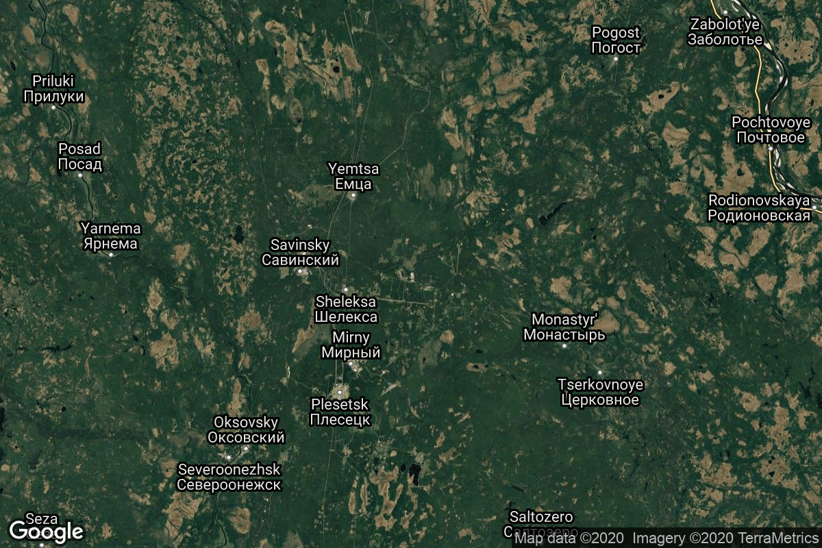
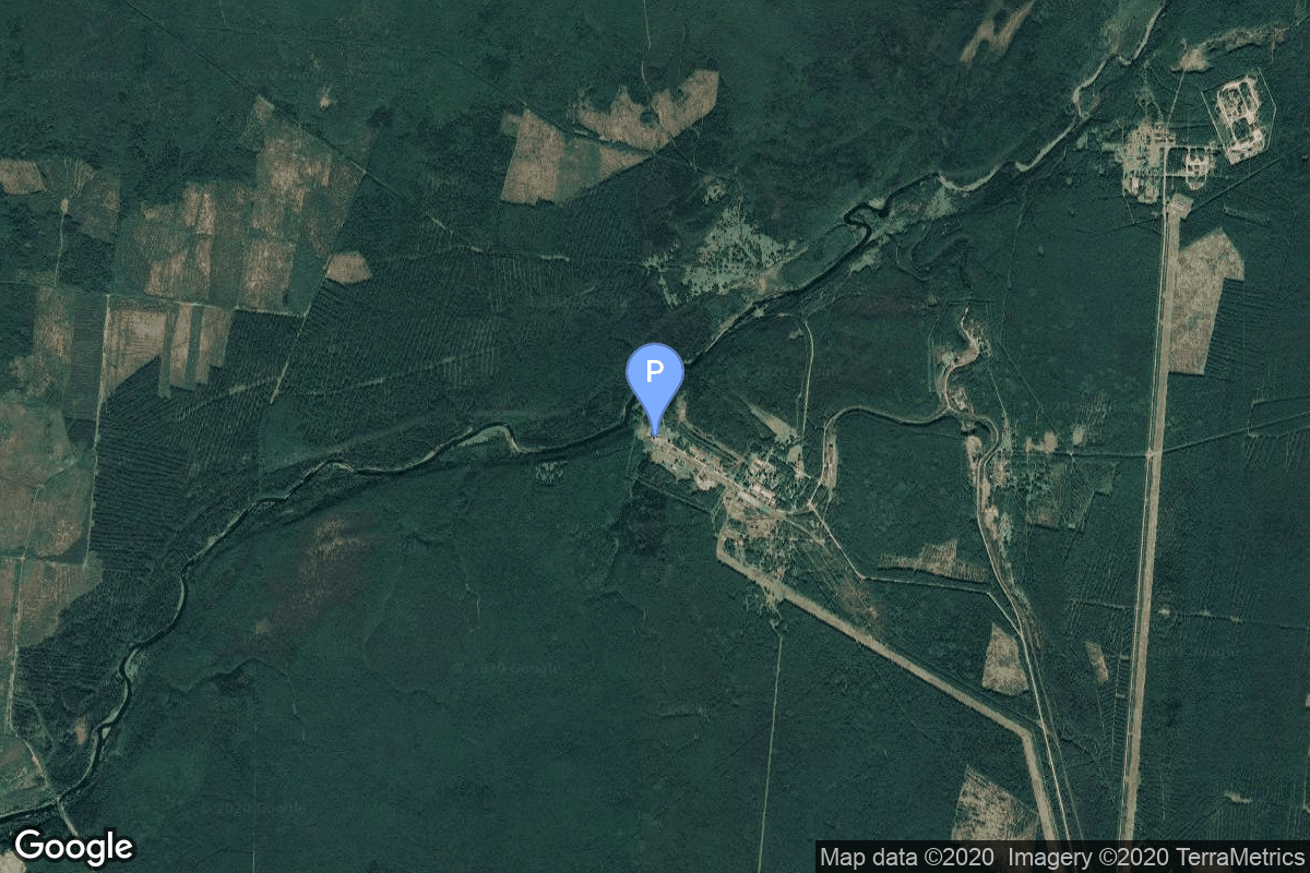
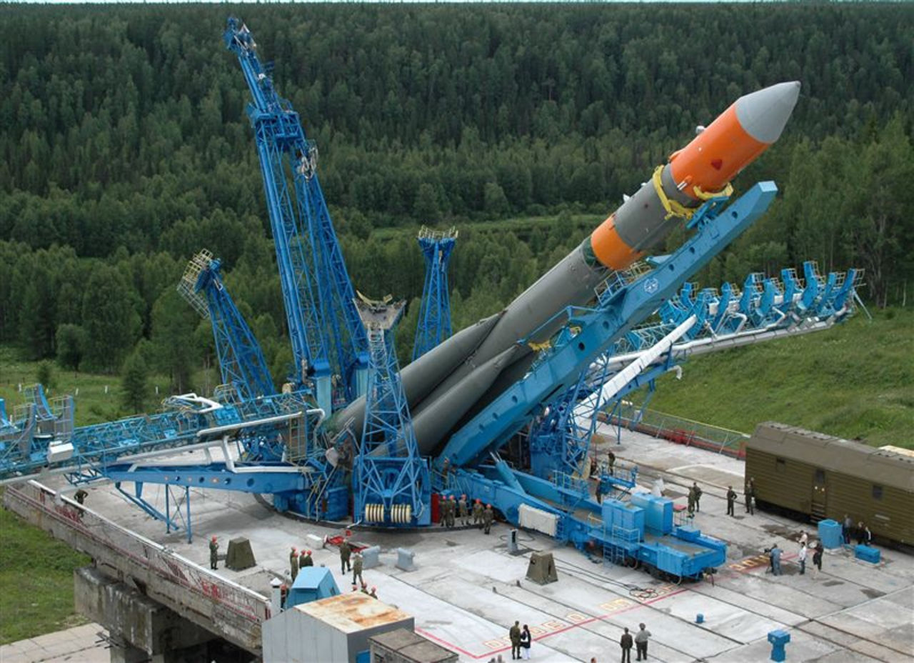
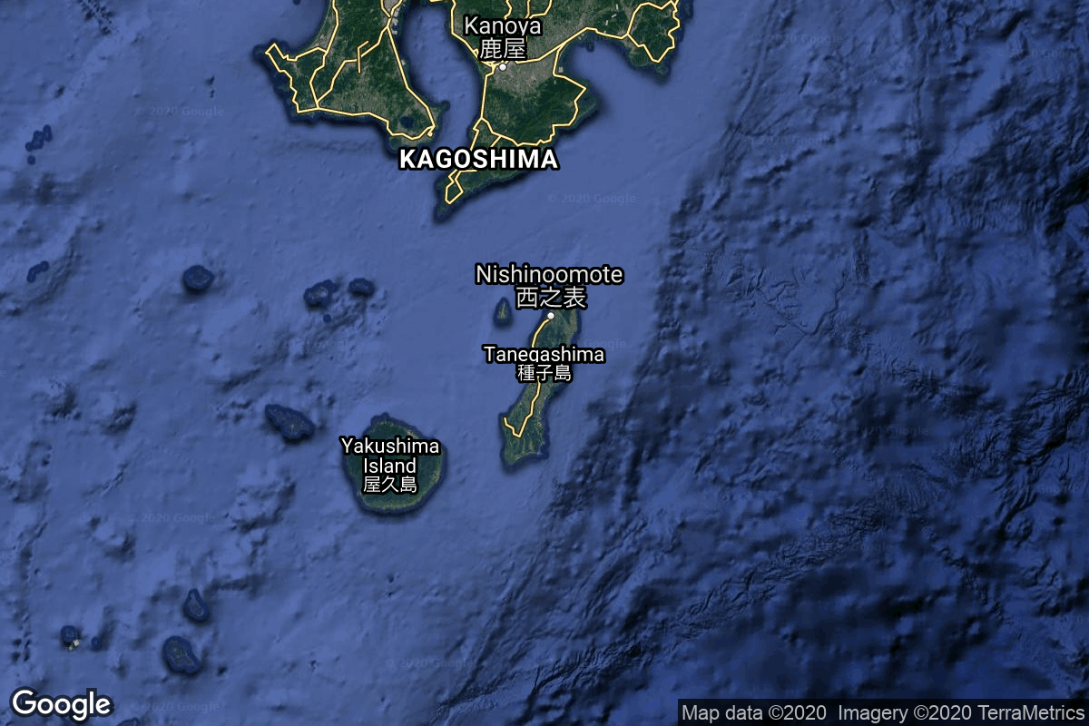
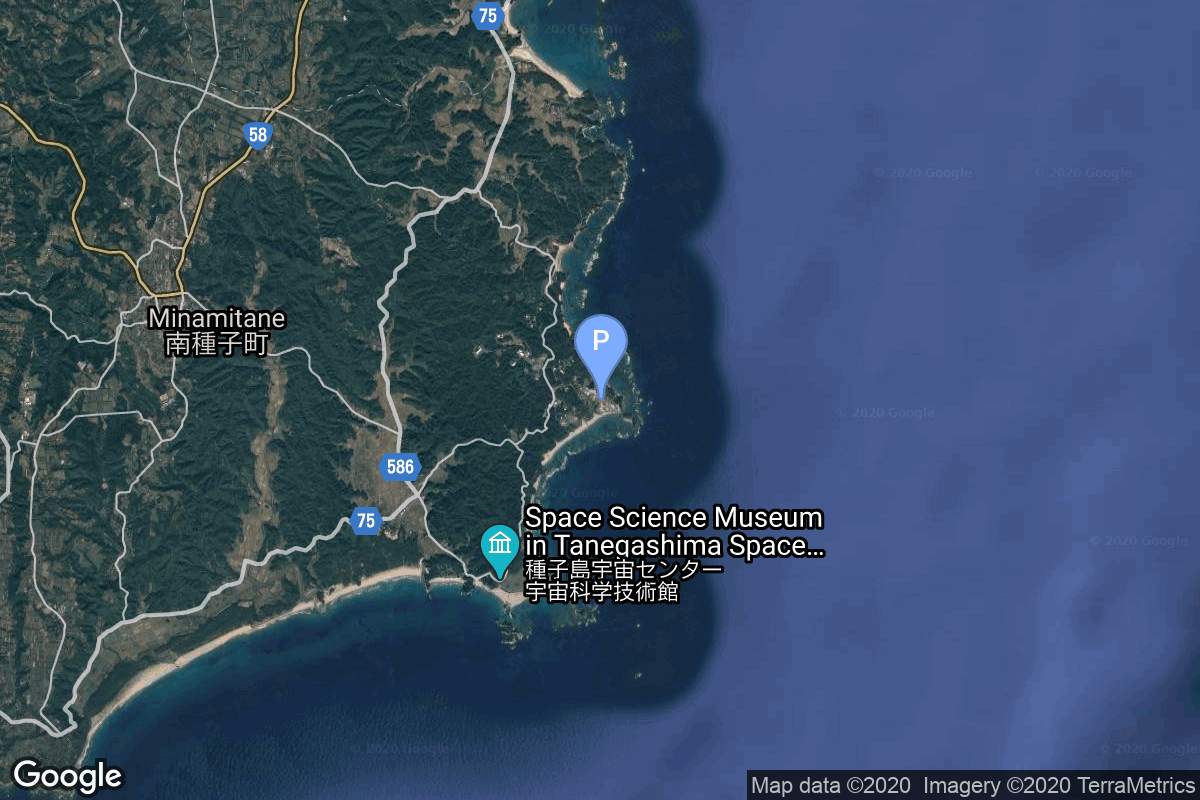
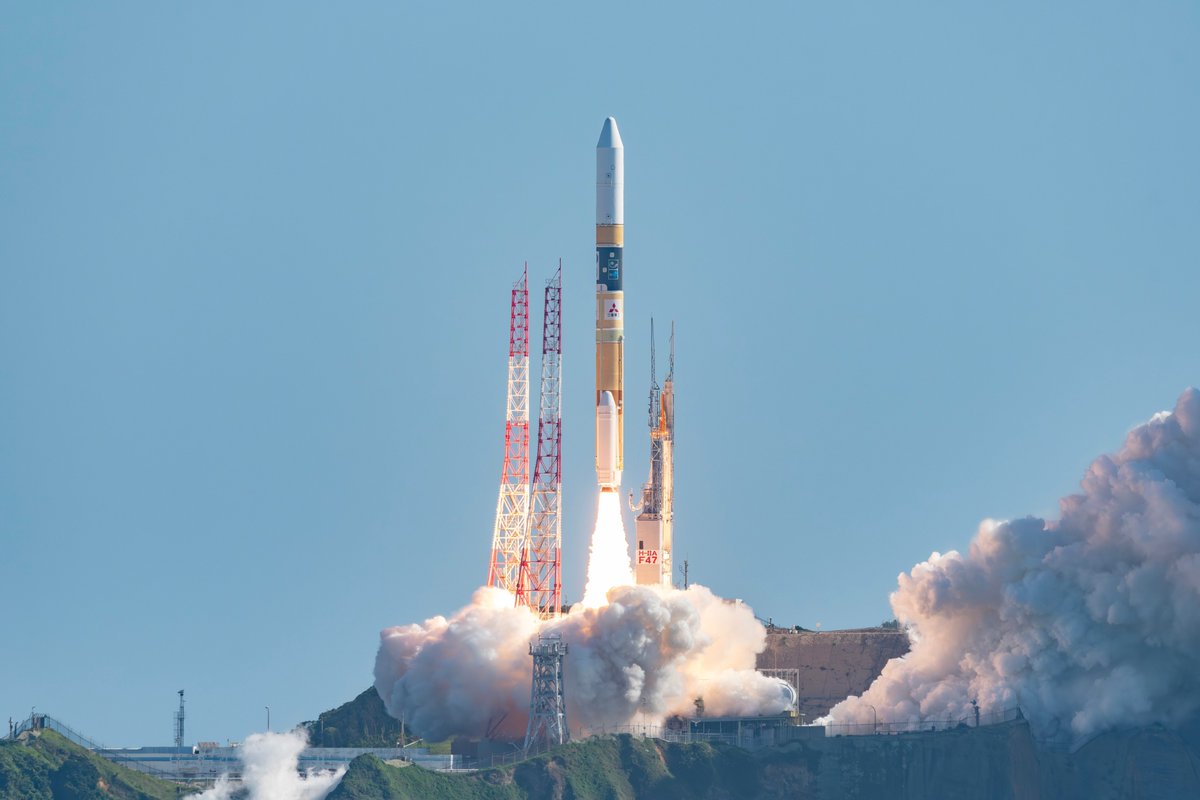
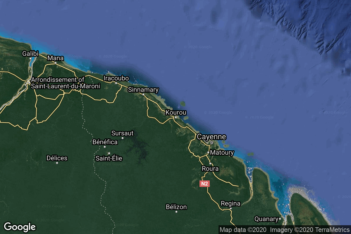
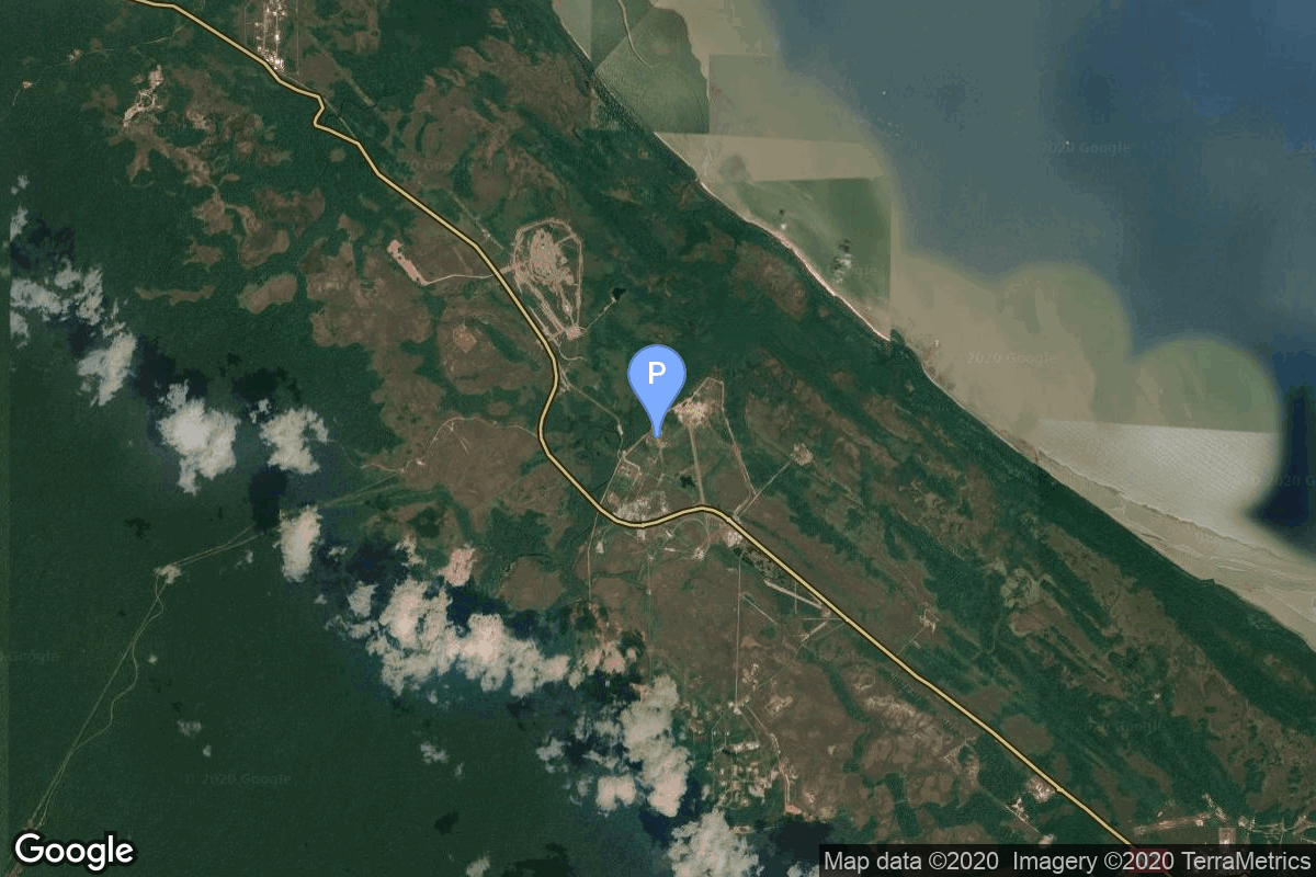
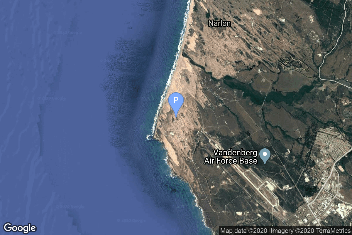
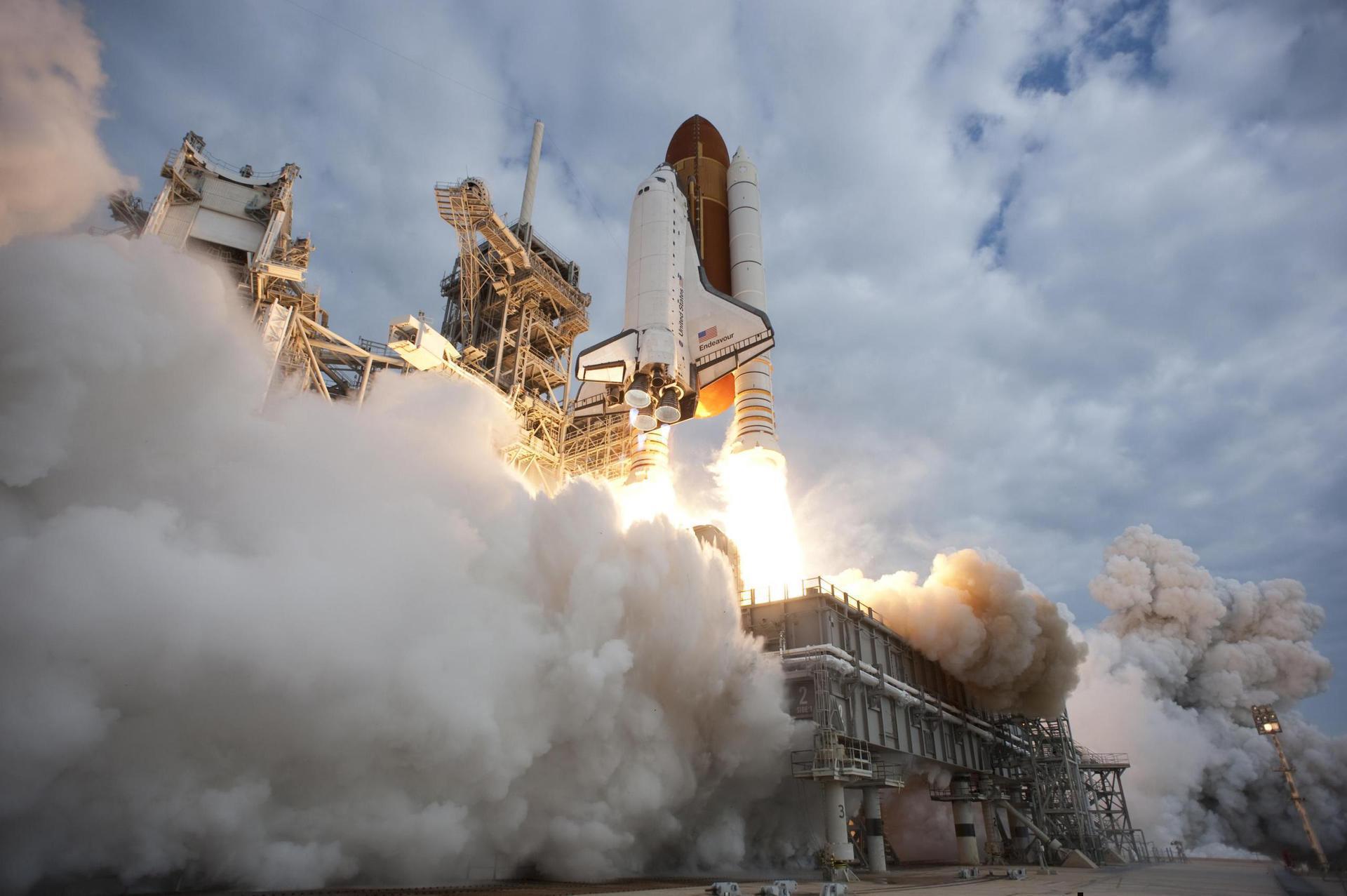
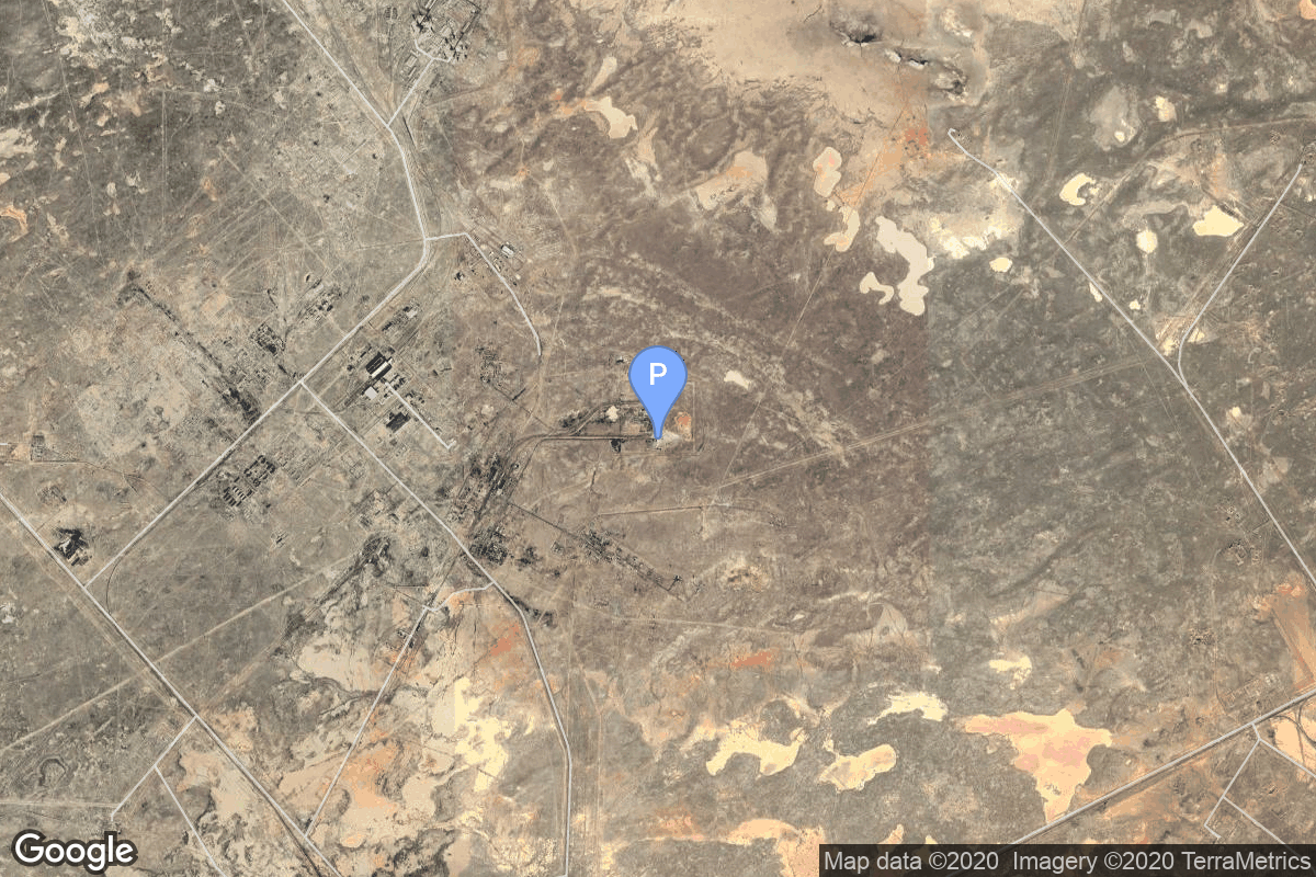
{ "count": 8116, "next": "https://ll.thespacedevs.com/2.2.0/launch/?format=api&limit=10&offset=6750&ordering=id", "previous": "https://ll.thespacedevs.com/2.2.0/launch/?format=api&limit=10&offset=6730&ordering=id", "results": [ { "id": "d3ac9299-08ee-400b-af72-9a993b022a49", "url": "https://ll.thespacedevs.com/2.2.0/launch/d3ac9299-08ee-400b-af72-9a993b022a49/?format=api", "slug": "molniya-m-us-k-28", "name": "Molniya-M | US-K 28", "status": { "id": 3, "name": "Launch Successful", "abbrev": "Success", "description": "The launch vehicle successfully inserted its payload(s) into the target orbit(s)." }, "last_updated": "2023-06-14T03:50:19Z", "net": "1982-09-22T06:23:11Z", "window_end": "1982-09-22T06:23:11Z", "window_start": "1982-09-22T06:23:11Z", "net_precision": null, "probability": null, "weather_concerns": null, "holdreason": "", "failreason": null, "hashtag": null, "launch_service_provider": { "id": 66, "url": "https://ll.thespacedevs.com/2.2.0/agencies/66/?format=api", "name": "Soviet Space Program", "type": "Government" }, "rocket": { "id": 5447, "configuration": { "id": 106, "url": "https://ll.thespacedevs.com/2.2.0/config/launcher/106/?format=api", "name": "Molniya-M", "family": "R-7", "full_name": "Molniya-M 2BL", "variant": "2BL" } }, "mission": { "id": 3852, "name": "US-K 28", "description": "Early warning satellite", "launch_designator": null, "type": "Government/Top Secret", "orbit": { "id": 0, "name": "Elliptical Orbit", "abbrev": "Elliptical" }, "agencies": [], "info_urls": [], "vid_urls": [] }, "pad": { "id": 35, "url": "https://ll.thespacedevs.com/2.2.0/pad/35/?format=api", "agency_id": 163, "name": "16/2", "description": null, "info_url": null, "wiki_url": "", "map_url": "https://www.google.com/maps?q=62.960091,40.682983", "latitude": "62.960091", "longitude": "40.682983", "location": { "id": 6, "url": "https://ll.thespacedevs.com/2.2.0/location/6/?format=api", "name": "Plesetsk Cosmodrome, Russian Federation", "country_code": "RUS", "description": "Plesetsk Cosmodrome is a Russian spaceport located in Mirny, Arkhangelsk Oblast, about 800 km north of Moscow and approximately 200 km south of Arkhangelsk. Originally developed as an ICBM site for the R-7 missile, it also served for numerous satellite launches using the R-7 and other rockets. Its high latitude makes it useful only for certain types of launches, especially the Molniya orbits, so for much of the site's history it functioned as a secondary location, with most orbital launches taking place from Baikonur, in the Kazakh SSR. With the end of the Soviet Union, Baikonur became a foreign territory, and Kazakhstan charged $115 million usage fees annually. Consequently, Plesetsk has seen considerably more activity since the 2000s.", "map_image": "https://thespacedevs-prod.nyc3.digitaloceanspaces.com/media/map_images/location_6_20200803142434.jpg", "timezone_name": "Europe/Moscow", "total_launch_count": 1688, "total_landing_count": 0 }, "country_code": "RUS", "map_image": "https://thespacedevs-prod.nyc3.digitaloceanspaces.com/media/map_images/pad_35_20200803143306.jpg", "total_launch_count": 136, "orbital_launch_attempt_count": 136 }, "webcast_live": false, "image": "https://thespacedevs-prod.nyc3.digitaloceanspaces.com/media/images/molniya_m_image_20251102061752.jpg", "infographic": null, "program": [], "orbital_launch_attempt_count": 2618, "location_launch_attempt_count": 898, "pad_launch_attempt_count": 12, "agency_launch_attempt_count": 1637, "orbital_launch_attempt_count_year": 101, "location_launch_attempt_count_year": 51, "pad_launch_attempt_count_year": 9, "agency_launch_attempt_count_year": 86, "type": "normal" }, { "id": "d3b5bc49-e977-4b63-b17f-09b507af50aa", "url": "https://ll.thespacedevs.com/2.2.0/launch/d3b5bc49-e977-4b63-b17f-09b507af50aa/?format=api", "slug": "h-iia-202-igs-radar-6", "name": "H-IIA 202 | IGS Radar 6", "status": { "id": 3, "name": "Launch Successful", "abbrev": "Success", "description": "The launch vehicle successfully inserted its payload(s) into the target orbit(s)." }, "last_updated": "2023-07-07T12:53:04Z", "net": "2018-06-12T04:20:00Z", "window_end": "2018-06-12T04:33:57Z", "window_start": "2018-06-12T04:20:00Z", "net_precision": null, "probability": null, "weather_concerns": null, "holdreason": "", "failreason": "", "hashtag": null, "launch_service_provider": { "id": 98, "url": "https://ll.thespacedevs.com/2.2.0/agencies/98/?format=api", "name": "Mitsubishi Heavy Industries", "type": "Commercial" }, "rocket": { "id": 2110, "configuration": { "id": 32, "url": "https://ll.thespacedevs.com/2.2.0/config/launcher/32/?format=api", "name": "H-IIA", "family": "H-II", "full_name": "H-IIA 202", "variant": "202" } }, "mission": { "id": 562, "name": "IGS Radar 6", "description": "IGS Radar is a family of Japanese radar reconnaissance satellites that serve both Japan's national defense and civil natural disaster monitoring. IGS Radar 5 is the fifth generation of satellites. Equipped with synthetic aperture radar, it is able to image targets even in darkness and bad weather.", "launch_designator": null, "type": "Government/Top Secret", "orbit": { "id": 17, "name": "Sun-Synchronous Orbit", "abbrev": "SSO" }, "agencies": [], "info_urls": [], "vid_urls": [] }, "pad": { "id": 41, "url": "https://ll.thespacedevs.com/2.2.0/pad/41/?format=api", "agency_id": 37, "name": "Yoshinobu Launch Complex LP-1", "description": "", "info_url": null, "wiki_url": "https://en.wikipedia.org/wiki/Yoshinobu_Launch_Complex", "map_url": "https://www.google.com/maps?q=30.400813,130.977748", "latitude": "30.400813", "longitude": "130.977748", "location": { "id": 26, "url": "https://ll.thespacedevs.com/2.2.0/location/26/?format=api", "name": "Tanegashima Space Center, Japan", "country_code": "JPN", "description": "The Tanegashima Space Center is the largest rocket-launch complex in Japan. It is located on the southeastern tip of Tanegashima, an island located south of Kyushu, an island and region and Japan. It was established in 1969 when the National Space Development Agency of Japan (NASDA) was formed, and is now run by JAXA. The activities that take place at TNSC include assembly, testing, launching, and tracking satellites, as well as rocket engine firing tests.", "map_image": "https://thespacedevs-prod.nyc3.digitaloceanspaces.com/media/map_images/location_26_20200803142507.jpg", "timezone_name": "Asia/Tokyo", "total_launch_count": 99, "total_landing_count": 0 }, "country_code": "JPN", "map_image": "https://thespacedevs-prod.nyc3.digitaloceanspaces.com/media/map_images/pad_41_20200803143551.jpg", "total_launch_count": 57, "orbital_launch_attempt_count": 57 }, "webcast_live": false, "image": "https://thespacedevs-prod.nyc3.digitaloceanspaces.com/media/images/h-iia_202_lifto_image_20240325123250.jpg", "infographic": null, "program": [], "orbital_launch_attempt_count": 5758, "location_launch_attempt_count": 76, "pad_launch_attempt_count": 46, "agency_launch_attempt_count": 37, "orbital_launch_attempt_count_year": 52, "location_launch_attempt_count_year": 2, "pad_launch_attempt_count_year": 2, "agency_launch_attempt_count_year": 1, "type": "normal" }, { "id": "d3b5dfb9-0f58-433a-b7e7-e669260db994", "url": "https://ll.thespacedevs.com/2.2.0/launch/d3b5dfb9-0f58-433a-b7e7-e669260db994/?format=api", "slug": "vega-mohammed-vi-b", "name": "Vega | Mohammed VI-B", "status": { "id": 3, "name": "Launch Successful", "abbrev": "Success", "description": "The launch vehicle successfully inserted its payload(s) into the target orbit(s)." }, "last_updated": "2024-11-13T17:56:42Z", "net": "2018-11-21T01:42:31Z", "window_end": "2018-11-21T01:42:31Z", "window_start": "2018-11-21T01:42:31Z", "net_precision": null, "probability": null, "weather_concerns": null, "holdreason": "", "failreason": "", "hashtag": null, "launch_service_provider": { "id": 115, "url": "https://ll.thespacedevs.com/2.2.0/agencies/115/?format=api", "name": "Arianespace", "type": "Commercial" }, "rocket": { "id": 1376, "configuration": { "id": 167, "url": "https://ll.thespacedevs.com/2.2.0/config/launcher/167/?format=api", "name": "Vega", "family": "Vega", "full_name": "Vega", "variant": "" } }, "mission": { "id": 737, "name": "Mohammed VI-B", "description": "A second Earth observation satellite for the Kingdom of Morocco. It was developed by Thales Alenia Space and Airbus. Satellite will be in particular used for mapping and land surveying activities, regional development, agricultural monitoring, the prevention and management of natural disasters, monitoring changes in the environment and desertification, as well as border and coastal surveillance.", "launch_designator": null, "type": "Earth Science", "orbit": { "id": 17, "name": "Sun-Synchronous Orbit", "abbrev": "SSO" }, "agencies": [], "info_urls": [], "vid_urls": [] }, "pad": { "id": 34, "url": "https://ll.thespacedevs.com/2.2.0/pad/34/?format=api", "agency_id": 115, "name": "Ariane Launch Area 1 (ELV)", "description": "ELA-1, now named Ensemble de Lancement Vega (short ELV), is a launch pad at the Centre Spatial Guyanais in French Guiana. It has been used to support launches of the Europa rocket, Ariane 1, Ariane 3, and is currently used to launch Vega rockets.", "info_url": null, "wiki_url": "https://en.wikipedia.org/wiki/ELA-1", "map_url": "https://www.google.com/maps?q=5.236,-52.775", "latitude": "5.236", "longitude": "-52.775", "location": { "id": 13, "url": "https://ll.thespacedevs.com/2.2.0/location/13/?format=api", "name": "Guiana Space Centre, French Guiana", "country_code": "GUF", "description": "The Guiana Space Centre is a European spaceport to the northwest of Kourou in French Guiana, a region of France in South America. Kourou is located at a latitude of 5°. In operation since 1968, it is a suitable location for a spaceport because of its equatorial location and open sea to the east.", "map_image": "https://thespacedevs-prod.nyc3.digitaloceanspaces.com/media/map_images/location_13_20200803142412.jpg", "timezone_name": "America/Cayenne", "total_launch_count": 336, "total_landing_count": 0 }, "country_code": "GUF", "map_image": "https://thespacedevs-prod.nyc3.digitaloceanspaces.com/media/map_images/pad_34_20200803143527.jpg", "total_launch_count": 56, "orbital_launch_attempt_count": 56 }, "webcast_live": false, "image": "https://thespacedevs-prod.nyc3.digitaloceanspaces.com/media/images/vega_image_20201111143622.jpeg", "infographic": null, "program": [], "orbital_launch_attempt_count": 5803, "location_launch_attempt_count": 286, "pad_launch_attempt_count": 39, "agency_launch_attempt_count": 271, "orbital_launch_attempt_count_year": 97, "location_launch_attempt_count_year": 9, "pad_launch_attempt_count_year": 2, "agency_launch_attempt_count_year": 9, "type": "normal" }, { "id": "d3bd7fb2-fac6-49fc-ae52-cee07d2fde67", "url": "https://ll.thespacedevs.com/2.2.0/launch/d3bd7fb2-fac6-49fc-ae52-cee07d2fde67/?format=api", "slug": "falcon-heavy-griffin-mission-one", "name": "Falcon Heavy | Griffin Mission One", "status": { "id": 2, "name": "To Be Determined", "abbrev": "TBD", "description": "Current date is a placeholder or rough estimation based on unreliable or interpreted sources." }, "last_updated": "2026-10-01T14:26:48Z", "net": "2026-12-31T00:00:00Z", "window_end": "2026-12-31T00:00:00Z", "window_start": "2026-12-31T00:00:00Z", "net_precision": { "id": 7, "name": "Month", "abbrev": "M", "description": "The T-0 is expected in the given month." }, "probability": null, "weather_concerns": null, "holdreason": "", "failreason": "", "hashtag": null, "launch_service_provider": { "id": 121, "url": "https://ll.thespacedevs.com/2.2.0/agencies/121/?format=api", "name": "SpaceX", "type": "Commercial" }, "rocket": { "id": 2853, "configuration": { "id": 161, "url": "https://ll.thespacedevs.com/2.2.0/config/launcher/161/?format=api", "name": "Falcon Heavy", "family": "Falcon", "full_name": "Falcon Heavy", "variant": "Heavy" } }, "mission": { "id": 1267, "name": "Griffin Mission One", "description": "Demonstration flight of the Astrobotic Griffin lander and its engines, initially contracted for the cancelled NASA VIPER (Volatiles Investigating Polar Exploration Rover) mission. The vacated payload spot will now host the FLIP (FLEX Lunar Innovation Platform) lunar rover from Astrolab.", "launch_designator": null, "type": "Lunar Exploration", "orbit": { "id": 11, "name": "Lunar Orbit", "abbrev": "LO" }, "agencies": [ { "id": 1069, "url": "https://ll.thespacedevs.com/2.2.0/agencies/1069/?format=api", "name": "Voyager Technologies", "featured": false, "type": "Private", "country_code": "USA", "abbrev": "Voyager", "description": "Voyager Technologies is a publicly traded American aerospace company founded to provide financing to promising space startups that. Starting in 2024, the company has undergone significant vertical integration to merge its various acquired companies under a unified Voyager name.", "administrator": "CEO: Dylan Taylor", "founding_year": "2019", "launchers": "", "spacecraft": "Peregrine | Griffin | Starlab", "launch_library_url": null, "total_launch_count": 0, "consecutive_successful_launches": 0, "successful_launches": 0, "failed_launches": 0, "pending_launches": 0, "consecutive_successful_landings": 0, "successful_landings": 0, "failed_landings": 0, "attempted_landings": 0, "info_url": "https://voyagertechnologies.com/", "wiki_url": "https://en.wikipedia.org/wiki/Voyager_Technologies", "logo_url": "https://thespacedevs-prod.nyc3.digitaloceanspaces.com/media/images/voyager_technol_image_20261014060507.png", "image_url": null, "nation_url": "https://thespacedevs-prod.nyc3.digitaloceanspaces.com/media/images/voyager_technol_image_20261014060429.jpg" } ], "info_urls": [], "vid_urls": [] }, "pad": { "id": 87, "url": "https://ll.thespacedevs.com/2.2.0/pad/87/?format=api", "agency_id": 121, "name": "Launch Complex 39A", "description": "", "info_url": null, "wiki_url": "https://en.wikipedia.org/wiki/Kennedy_Space_Center_Launch_Complex_39#Launch_Pad_39A", "map_url": "https://www.google.com/maps?q=28.60822681,-80.60428186", "latitude": "28.60822681", "longitude": "-80.60428186", "location": { "id": 27, "url": "https://ll.thespacedevs.com/2.2.0/location/27/?format=api", "name": "Kennedy Space Center, FL, USA", "country_code": "USA", "description": "The John F. Kennedy Space Center, located on Merritt Island, Florida, is one of NASA's ten field centers. Since 1968, KSC has been NASA's primary launch center of American spaceflight, research, and technology. Launch operations for the Apollo, Skylab and Space Shuttle programs were carried out from Kennedy Space Center Launch Complex 39 and managed by KSC. Located on the east coast of Florida, KSC is adjacent to Cape Canaveral Space Force Station (CCSFS).", "map_image": "https://thespacedevs-prod.nyc3.digitaloceanspaces.com/media/map_images/location_27_20200803142447.jpg", "timezone_name": "America/New_York", "total_launch_count": 283, "total_landing_count": 0 }, "country_code": "USA", "map_image": "https://thespacedevs-prod.nyc3.digitaloceanspaces.com/media/map_images/pad_87_20200803143537.jpg", "total_launch_count": 224, "orbital_launch_attempt_count": 223 }, "webcast_live": false, "image": "https://thespacedevs-prod.nyc3.digitaloceanspaces.com/media/images/falcon_heavy_image_20220129192819.jpeg", "infographic": null, "program": [], "orbital_launch_attempt_count": 7532, "location_launch_attempt_count": 285, "pad_launch_attempt_count": 226, "agency_launch_attempt_count": 782, "orbital_launch_attempt_count_year": 359, "location_launch_attempt_count_year": 6, "pad_launch_attempt_count_year": 5, "agency_launch_attempt_count_year": 163, "type": "normal" }, { "id": "d3c15d67-e173-4599-9578-e1f9e7dbb021", "url": "https://ll.thespacedevs.com/2.2.0/launch/d3c15d67-e173-4599-9578-e1f9e7dbb021/?format=api", "slug": "ariane-44lp-astra-1b-meteosat-5", "name": "Ariane 44LP | Astra 1B & Meteosat 5", "status": { "id": 3, "name": "Launch Successful", "abbrev": "Success", "description": "The launch vehicle successfully inserted its payload(s) into the target orbit(s)." }, "last_updated": "2023-06-14T04:22:24Z", "net": "1991-03-02T23:36:00Z", "window_end": "1991-03-02T23:36:00Z", "window_start": "1991-03-02T23:36:00Z", "net_precision": null, "probability": null, "weather_concerns": null, "holdreason": "", "failreason": null, "hashtag": null, "launch_service_provider": { "id": 115, "url": "https://ll.thespacedevs.com/2.2.0/agencies/115/?format=api", "name": "Arianespace", "type": "Commercial" }, "rocket": { "id": 6352, "configuration": { "id": 226, "url": "https://ll.thespacedevs.com/2.2.0/config/launcher/226/?format=api", "name": "Ariane 44LP", "family": "Ariane", "full_name": "Ariane 44LP", "variant": "44LP" } }, "mission": { "id": 4742, "name": "Astra 1B & Meteosat 5", "description": "Astra 1B was the second of the Astra communications satellites launched and operated by SES (Société Européenne des Satellites). It was believed to have been launched in a faulty condition, and suffered a thruster failure early in its life, causing minor drift, meaning that it became permanently difficult to obtain a steady lock on the satellite. This was most notable on analogue transmissions where the picture would move from clear to carrying sparklies and back again.", "launch_designator": null, "type": "Communications", "orbit": { "id": 1, "name": "Geostationary Orbit", "abbrev": "Direct-GEO" }, "agencies": [], "info_urls": [], "vid_urls": [] }, "pad": { "id": 124, "url": "https://ll.thespacedevs.com/2.2.0/pad/124/?format=api", "agency_id": 115, "name": "Ariane Launch Area 2", "description": "The ELA-2 pad, built in 1986, had been used for Ariane 4 launches from 1988 until 2003. Before 1988, although purpose-built for Ariane 4, the pad hosted an Ariane-2 and two Ariane-3 launches.", "info_url": null, "wiki_url": "https://en.wikipedia.org/wiki/ELA-2", "map_url": "https://www.google.com/maps?q=5.232,-52.778194", "latitude": "5.232", "longitude": "-52.778194", "location": { "id": 13, "url": "https://ll.thespacedevs.com/2.2.0/location/13/?format=api", "name": "Guiana Space Centre, French Guiana", "country_code": "GUF", "description": "The Guiana Space Centre is a European spaceport to the northwest of Kourou in French Guiana, a region of France in South America. Kourou is located at a latitude of 5°. In operation since 1968, it is a suitable location for a spaceport because of its equatorial location and open sea to the east.", "map_image": "https://thespacedevs-prod.nyc3.digitaloceanspaces.com/media/map_images/location_13_20200803142412.jpg", "timezone_name": "America/Cayenne", "total_launch_count": 336, "total_landing_count": 0 }, "country_code": "GUF", "map_image": "https://thespacedevs-prod.nyc3.digitaloceanspaces.com/media/map_images/pad_124_20200803143241.jpg", "total_launch_count": 119, "orbital_launch_attempt_count": 119 }, "webcast_live": false, "image": "https://thespacedevs-prod.nyc3.digitaloceanspaces.com/media/images/ariane_44lp_at__image_20240401083402.png", "infographic": null, "program": [], "orbital_launch_attempt_count": 3612, "location_launch_attempt_count": 51, "pad_launch_attempt_count": 17, "agency_launch_attempt_count": 41, "orbital_launch_attempt_count_year": 15, "location_launch_attempt_count_year": 2, "pad_launch_attempt_count_year": 2, "agency_launch_attempt_count_year": 2, "type": "normal" }, { "id": "d3c7b22c-446d-468d-b2e7-c2446f3eaa0d", "url": "https://ll.thespacedevs.com/2.2.0/launch/d3c7b22c-446d-468d-b2e7-c2446f3eaa0d/?format=api", "slug": "thor-slv-2a-agena-d-kh-4a-19", "name": "Thor SLV-2A Agena D | KH-4A 19", "status": { "id": 3, "name": "Launch Successful", "abbrev": "Success", "description": "The launch vehicle successfully inserted its payload(s) into the target orbit(s)." }, "last_updated": "2023-06-14T04:18:04Z", "net": "1965-04-29T21:44:56Z", "window_end": "1965-04-29T21:44:56Z", "window_start": "1965-04-29T21:44:56Z", "net_precision": null, "probability": null, "weather_concerns": null, "holdreason": "", "failreason": null, "hashtag": null, "launch_service_provider": { "id": 161, "url": "https://ll.thespacedevs.com/2.2.0/agencies/161/?format=api", "name": "United States Air Force", "type": "Government" }, "rocket": { "id": 3389, "configuration": { "id": 417, "url": "https://ll.thespacedevs.com/2.2.0/config/launcher/417/?format=api", "name": "Thor SLV-2A Agena D", "family": "Thor", "full_name": "Thor SLV-2A Agena D", "variant": "SLV-2A Agena D" } }, "mission": { "id": 1810, "name": "KH-4A 19", "description": "The KH-4A (Keyhole-4A) was the fifth optical reconnaissance satellite version in the Corona-program.", "launch_designator": null, "type": "Government/Top Secret", "orbit": { "id": 8, "name": "Low Earth Orbit", "abbrev": "LEO" }, "agencies": [], "info_urls": [], "vid_urls": [] }, "pad": { "id": 93, "url": "https://ll.thespacedevs.com/2.2.0/pad/93/?format=api", "agency_id": 161, "name": "Space Launch Complex 3W", "description": "SLC-3W was originally built for Atlas-Agena launches and the first flight off the pad was the launch of Samos 1 on October 11, 1960. The facility was extensively damaged 11 months later when Samos 3's booster exploded on the pad, but it was repaired quickly and hosted its next launch slightly under two months afterwards.\r\n\r\nIn 1962-63, the pad was converted for Thor-Agena use and was the primary launching site for Corona reconnaissance satellites for the next decade. After the Corona program ended in 1972, SLC-3W was converted back to support Atlases, this time flights of refurbished Atlas E/F missiles. The final such launch took place in 1995.\r\n\r\nSpaceX initially planned to use SLC-3W for the Falcon 1 launch vehicle but switched to SLC-4E with Falcon 9.", "info_url": null, "wiki_url": "https://en.wikipedia.org/wiki/Vandenberg_Space_Launch_Complex_3#SLC-3W", "map_url": "https://www.google.com/maps?q=34.644,-120.593", "latitude": "34.644", "longitude": "-120.593", "location": { "id": 11, "url": "https://ll.thespacedevs.com/2.2.0/location/11/?format=api", "name": "Vandenberg SFB, CA, USA", "country_code": "USA", "description": "Vandenberg Space Force Base is a United States Space Force Base in Santa Barbara County, California. Established in 1941, Vandenberg Space Force Base is a space launch base, launching spacecraft from the Western Range, and also performs missile testing. The United States Space Force's Space Launch Delta 30 serves as the host delta for the base, equivalent to an Air Force air base wing. In addition to its military space launch mission, Vandenberg Space Force Base also hosts space launches for civil and commercial space entities, such as NASA and SpaceX.", "map_image": "https://thespacedevs-prod.nyc3.digitaloceanspaces.com/media/map_images/location_11_20200803142416.jpg", "timezone_name": "America/Los_Angeles", "total_launch_count": 919, "total_landing_count": 37 }, "country_code": "USA", "map_image": "https://thespacedevs-prod.nyc3.digitaloceanspaces.com/media/map_images/pad_93_20200803143225.jpg", "total_launch_count": 81, "orbital_launch_attempt_count": 81 }, "webcast_live": false, "image": "https://thespacedevs-prod.nyc3.digitaloceanspaces.com/media/images/thor_slv-2a_age_image_20251102055131.jpg", "infographic": null, "program": [], "orbital_launch_attempt_count": 431, "location_launch_attempt_count": 172, "pad_launch_attempt_count": 17, "agency_launch_attempt_count": 254, "orbital_launch_attempt_count_year": 38, "location_launch_attempt_count_year": 13, "pad_launch_attempt_count_year": 2, "agency_launch_attempt_count_year": 23, "type": "normal" }, { "id": "d3cb6e0b-5fc9-4c7b-bd49-2ff94f99e24b", "url": "https://ll.thespacedevs.com/2.2.0/launch/d3cb6e0b-5fc9-4c7b-bd49-2ff94f99e24b/?format=api", "slug": "thor-dsv-2u-dmsp-5d1-f3", "name": "Thor DSV-2U | DMSP-5D1 F3", "status": { "id": 3, "name": "Launch Successful", "abbrev": "Success", "description": "The launch vehicle successfully inserted its payload(s) into the target orbit(s)." }, "last_updated": "2023-06-14T04:29:39Z", "net": "1978-05-01T03:05:04Z", "window_end": "1978-05-01T03:05:04Z", "window_start": "1978-05-01T03:05:04Z", "net_precision": null, "probability": null, "weather_concerns": null, "holdreason": "", "failreason": null, "hashtag": null, "launch_service_provider": { "id": 161, "url": "https://ll.thespacedevs.com/2.2.0/agencies/161/?format=api", "name": "United States Air Force", "type": "Government" }, "rocket": { "id": 4954, "configuration": { "id": 397, "url": "https://ll.thespacedevs.com/2.2.0/config/launcher/397/?format=api", "name": "Thor DSV-2U", "family": "Thor", "full_name": "Thor DSV-2U", "variant": "DSV-2U" } }, "mission": { "id": 3370, "name": "DMSP-5D1 F3", "description": "Military meteorological satellite", "launch_designator": null, "type": "Government/Top Secret", "orbit": { "id": 17, "name": "Sun-Synchronous Orbit", "abbrev": "SSO" }, "agencies": [], "info_urls": [], "vid_urls": [] }, "pad": { "id": 171, "url": "https://ll.thespacedevs.com/2.2.0/pad/171/?format=api", "agency_id": null, "name": "Space Launch Complex 10W", "description": "Space Launch Complex 10, or Missile Launch Complex 10, is located on Vandenberg Space Force Base in Lompoc, California. It was built in 1958 to test ballistic missiles and developed into a space launching facility in 1963.", "info_url": null, "wiki_url": "https://en.wikipedia.org/wiki/Vandenberg_Air_Force_Base_Space_Launch_Complex_10", "map_url": "https://www.google.com/maps?q=34.7652778,-120.6244162", "latitude": "34.7652778", "longitude": "-120.6244162", "location": { "id": 11, "url": "https://ll.thespacedevs.com/2.2.0/location/11/?format=api", "name": "Vandenberg SFB, CA, USA", "country_code": "USA", "description": "Vandenberg Space Force Base is a United States Space Force Base in Santa Barbara County, California. Established in 1941, Vandenberg Space Force Base is a space launch base, launching spacecraft from the Western Range, and also performs missile testing. The United States Space Force's Space Launch Delta 30 serves as the host delta for the base, equivalent to an Air Force air base wing. In addition to its military space launch mission, Vandenberg Space Force Base also hosts space launches for civil and commercial space entities, such as NASA and SpaceX.", "map_image": "https://thespacedevs-prod.nyc3.digitaloceanspaces.com/media/map_images/location_11_20200803142416.jpg", "timezone_name": "America/Los_Angeles", "total_launch_count": 919, "total_landing_count": 37 }, "country_code": "USA", "map_image": "https://thespacedevs-prod.nyc3.digitaloceanspaces.com/media/map_images/pad_171_20200803143449.jpg", "total_launch_count": 31, "orbital_launch_attempt_count": 31 }, "webcast_live": false, "image": null, "infographic": null, "program": [], "orbital_launch_attempt_count": 2088, "location_launch_attempt_count": 461, "pad_launch_attempt_count": 29, "agency_launch_attempt_count": 716, "orbital_launch_attempt_count_year": 43, "location_launch_attempt_count_year": 6, "pad_launch_attempt_count_year": 1, "agency_launch_attempt_count_year": 12, "type": "normal" }, { "id": "d3d23d8b-8752-46d7-8346-860c2f7fab19", "url": "https://ll.thespacedevs.com/2.2.0/launch/d3d23d8b-8752-46d7-8346-860c2f7fab19/?format=api", "slug": "space-shuttle-discovery-ov-103-sts-85", "name": "Space Shuttle Discovery / OV-103 | STS-85", "status": { "id": 3, "name": "Launch Successful", "abbrev": "Success", "description": "The launch vehicle successfully inserted its payload(s) into the target orbit(s)." }, "last_updated": "2023-06-25T12:13:45Z", "net": "1997-08-07T14:41:00Z", "window_end": "1997-08-07T14:41:00Z", "window_start": "1997-08-07T14:41:00Z", "net_precision": null, "probability": null, "weather_concerns": null, "holdreason": "", "failreason": "", "hashtag": null, "launch_service_provider": { "id": 191, "url": "https://ll.thespacedevs.com/2.2.0/agencies/191/?format=api", "name": "United Space Alliance", "type": "Commercial" }, "rocket": { "id": 419, "configuration": { "id": 493, "url": "https://ll.thespacedevs.com/2.2.0/config/launcher/493/?format=api", "name": "Space Shuttle", "family": "", "full_name": "Space Shuttle", "variant": "" } }, "mission": { "id": 839, "name": "STS-85", "description": "STS-85 was a Space Shuttle Discovery mission to perform multiple space science packages. It was launched from Kennedy Space Center, Florida, on 7 August 1997.", "launch_designator": null, "type": "Earth Science", "orbit": { "id": 8, "name": "Low Earth Orbit", "abbrev": "LEO" }, "agencies": [], "info_urls": [], "vid_urls": [] }, "pad": { "id": 87, "url": "https://ll.thespacedevs.com/2.2.0/pad/87/?format=api", "agency_id": 121, "name": "Launch Complex 39A", "description": "", "info_url": null, "wiki_url": "https://en.wikipedia.org/wiki/Kennedy_Space_Center_Launch_Complex_39#Launch_Pad_39A", "map_url": "https://www.google.com/maps?q=28.60822681,-80.60428186", "latitude": "28.60822681", "longitude": "-80.60428186", "location": { "id": 27, "url": "https://ll.thespacedevs.com/2.2.0/location/27/?format=api", "name": "Kennedy Space Center, FL, USA", "country_code": "USA", "description": "The John F. Kennedy Space Center, located on Merritt Island, Florida, is one of NASA's ten field centers. Since 1968, KSC has been NASA's primary launch center of American spaceflight, research, and technology. Launch operations for the Apollo, Skylab and Space Shuttle programs were carried out from Kennedy Space Center Launch Complex 39 and managed by KSC. Located on the east coast of Florida, KSC is adjacent to Cape Canaveral Space Force Station (CCSFS).", "map_image": "https://thespacedevs-prod.nyc3.digitaloceanspaces.com/media/map_images/location_27_20200803142447.jpg", "timezone_name": "America/New_York", "total_launch_count": 283, "total_landing_count": 0 }, "country_code": "USA", "map_image": "https://thespacedevs-prod.nyc3.digitaloceanspaces.com/media/map_images/pad_87_20200803143537.jpg", "total_launch_count": 224, "orbital_launch_attempt_count": 223 }, "webcast_live": false, "image": "https://thespacedevs-prod.nyc3.digitaloceanspaces.com/media/images/space_shuttle_image_20230422074810.jpeg", "infographic": null, "program": [ { "id": 6, "url": "https://ll.thespacedevs.com/2.2.0/program/6/?format=api", "name": "Space Shuttle", "description": "The Space Shuttle program was the fourth human spaceflight program carried out by the National Aeronautics and Space Administration (NASA), which accomplished routine transportation for Earth-to-orbit crew and cargo from 1981 to 2011.", "agencies": [ { "id": 44, "url": "https://ll.thespacedevs.com/2.2.0/agencies/44/?format=api", "name": "National Aeronautics and Space Administration", "type": "Government" } ], "image_url": "https://thespacedevs-prod.nyc3.digitaloceanspaces.com/media/images/space2520shutt_program_20200820202237.png", "start_date": "1981-04-12T12:00:03Z", "end_date": "2011-07-08T15:29:00Z", "info_url": "https://www.nasa.gov/mission_pages/shuttle/main/index.html", "wiki_url": "https://en.wikipedia.org/wiki/Space_Shuttle_program", "mission_patches": [], "type": { "id": 2, "name": "Human Spaceflight" } } ], "orbital_launch_attempt_count": 4159, "location_launch_attempt_count": 103, "pad_launch_attempt_count": 63, "agency_launch_attempt_count": 7, "orbital_launch_attempt_count_year": 41, "location_launch_attempt_count_year": 6, "pad_launch_attempt_count_year": 5, "agency_launch_attempt_count_year": 5, "type": "normal" }, { "id": "d3d2875b-ca3f-47b7-9944-fd207687e0b6", "url": "https://ll.thespacedevs.com/2.2.0/launch/d3d2875b-ca3f-47b7-9944-fd207687e0b6/?format=api", "slug": "ariane-44lp-inmarsat-3-f5-brasilsat-b3", "name": "Ariane 44LP | Inmarsat-3 F5 & Brasilsat B3", "status": { "id": 3, "name": "Launch Successful", "abbrev": "Success", "description": "The launch vehicle successfully inserted its payload(s) into the target orbit(s)." }, "last_updated": "2023-06-14T04:22:21Z", "net": "1998-02-04T23:29:00Z", "window_end": "1998-02-04T23:29:00Z", "window_start": "1998-02-04T23:29:00Z", "net_precision": null, "probability": null, "weather_concerns": null, "holdreason": "", "failreason": null, "hashtag": null, "launch_service_provider": { "id": 115, "url": "https://ll.thespacedevs.com/2.2.0/agencies/115/?format=api", "name": "Arianespace", "type": "Commercial" }, "rocket": { "id": 6836, "configuration": { "id": 226, "url": "https://ll.thespacedevs.com/2.2.0/config/launcher/226/?format=api", "name": "Ariane 44LP", "family": "Ariane", "full_name": "Ariane 44LP", "variant": "44LP" } }, "mission": { "id": 5226, "name": "Inmarsat-3 F5 & Brasilsat B3", "description": "Launched in 1996-8, the Inmarsat-3s were built by Lockheed Martin Astro Space (now Lockheed Martin Missiles & Space) of the USA, responsible for the basic spacecraft, and the European Matra Marconi Space (now Astrium), which developed the communications payload. Brazil's second generation of communications satellites are the result of joint engineering and manufacturing efforts in the United States and Brazil. The new spacecraft are called the Brasilsat B series, and are widebody, more powerful versions of Hughes Space and Communications Company's popular HS-376 model. EMBRATEL, Brazil's telecommunications company, signed a contract in August 1990 for two spacecraft. In December 1995, with those new satellites in orbit and rapidly filling with customers, EMBRATEL exercised an option for a third spacecraft. A fourth was ordered in June 1998.", "launch_designator": null, "type": "Communications", "orbit": { "id": 1, "name": "Geostationary Orbit", "abbrev": "Direct-GEO" }, "agencies": [], "info_urls": [], "vid_urls": [] }, "pad": { "id": 124, "url": "https://ll.thespacedevs.com/2.2.0/pad/124/?format=api", "agency_id": 115, "name": "Ariane Launch Area 2", "description": "The ELA-2 pad, built in 1986, had been used for Ariane 4 launches from 1988 until 2003. Before 1988, although purpose-built for Ariane 4, the pad hosted an Ariane-2 and two Ariane-3 launches.", "info_url": null, "wiki_url": "https://en.wikipedia.org/wiki/ELA-2", "map_url": "https://www.google.com/maps?q=5.232,-52.778194", "latitude": "5.232", "longitude": "-52.778194", "location": { "id": 13, "url": "https://ll.thespacedevs.com/2.2.0/location/13/?format=api", "name": "Guiana Space Centre, French Guiana", "country_code": "GUF", "description": "The Guiana Space Centre is a European spaceport to the northwest of Kourou in French Guiana, a region of France in South America. Kourou is located at a latitude of 5°. In operation since 1968, it is a suitable location for a spaceport because of its equatorial location and open sea to the east.", "map_image": "https://thespacedevs-prod.nyc3.digitaloceanspaces.com/media/map_images/location_13_20200803142412.jpg", "timezone_name": "America/Cayenne", "total_launch_count": 336, "total_landing_count": 0 }, "country_code": "GUF", "map_image": "https://thespacedevs-prod.nyc3.digitaloceanspaces.com/media/map_images/pad_124_20200803143241.jpg", "total_launch_count": 119, "orbital_launch_attempt_count": 119 }, "webcast_live": false, "image": "https://thespacedevs-prod.nyc3.digitaloceanspaces.com/media/images/ariane_44lp_at__image_20240401083402.png", "infographic": null, "program": [], "orbital_launch_attempt_count": 4214, "location_launch_attempt_count": 114, "pad_launch_attempt_count": 78, "agency_launch_attempt_count": 103, "orbital_launch_attempt_count_year": 7, "location_launch_attempt_count_year": 1, "pad_launch_attempt_count_year": 1, "agency_launch_attempt_count_year": 1, "type": "normal" }, { "id": "d3da5d57-57a6-49c7-ab15-ef4dd4d0cba6", "url": "https://ll.thespacedevs.com/2.2.0/launch/d3da5d57-57a6-49c7-ab15-ef4dd4d0cba6/?format=api", "slug": "molniya-8k78-luna-4d", "name": "Molniya 8K78 | Luna-4d", "status": { "id": 4, "name": "Launch Failure", "abbrev": "Failure", "description": "Either the launch vehicle did not reach orbit, or the payload(s) failed to separate." }, "last_updated": "2023-06-14T03:48:38Z", "net": "1963-02-03T09:29:14Z", "window_end": "1963-02-03T09:29:14Z", "window_start": "1963-02-03T09:29:14Z", "net_precision": null, "probability": null, "weather_concerns": null, "holdreason": "", "failreason": null, "hashtag": null, "launch_service_provider": { "id": 66, "url": "https://ll.thespacedevs.com/2.2.0/agencies/66/?format=api", "name": "Soviet Space Program", "type": "Government" }, "rocket": { "id": 3184, "configuration": { "id": 184, "url": "https://ll.thespacedevs.com/2.2.0/config/launcher/184/?format=api", "name": "Molniya 8K78", "family": "R-7", "full_name": "Molniya 8K78", "variant": "8K78" } }, "mission": { "id": 1606, "name": "Luna-4d", "description": "Ye-6 series probe designed to land on the Moon. Lost when the launcher failed to reach orbit.", "launch_designator": null, "type": "Lunar Exploration", "orbit": { "id": 11, "name": "Lunar Orbit", "abbrev": "LO" }, "agencies": [], "info_urls": [], "vid_urls": [] }, "pad": { "id": 32, "url": "https://ll.thespacedevs.com/2.2.0/pad/32/?format=api", "agency_id": null, "name": "1/5", "description": null, "info_url": null, "wiki_url": "", "map_url": "https://www.google.com/maps?q=45.92,63.342", "latitude": "45.92", "longitude": "63.342", "location": { "id": 15, "url": "https://ll.thespacedevs.com/2.2.0/location/15/?format=api", "name": "Baikonur Cosmodrome, Republic of Kazakhstan", "country_code": "KAZ", "description": "The Baikonur Cosmodrome is a spaceport operated by Russia within Kazakhstan. Located in the Kazakh city of Baikonur, it is the largest operational space launch facility in terms of area. All Russian crewed spaceflights are launched from Baikonur.", "map_image": "https://thespacedevs-prod.nyc3.digitaloceanspaces.com/media/map_images/location_15_20200803142517.jpg", "timezone_name": "Asia/Qyzylorda", "total_launch_count": 1565, "total_landing_count": 0 }, "country_code": "KAZ", "map_image": "https://thespacedevs-prod.nyc3.digitaloceanspaces.com/media/map_images/pad_32_20200803143513.jpg", "total_launch_count": 487, "orbital_launch_attempt_count": 487 }, "webcast_live": false, "image": "https://thespacedevs-prod.nyc3.digitaloceanspaces.com/media/images/molniya25208k78_image_20191201210000.jpg", "infographic": null, "program": [ { "id": 38, "url": "https://ll.thespacedevs.com/2.2.0/program/38/?format=api", "name": "Luna", "description": "The Luna program was a series of robotic spacecraft missions sent to the Moon by the Soviet Union between 1959 and 1976. The program accomplished many firsts in space exploration, including first flyby of the Moon, first impact of the Moon and first photos of the far side of the Moon. Each mission was designed as either an orbiter or lander. They also performed many experiments, studying the Moon's chemical composition, gravity, temperature, and radiation.", "agencies": [ { "id": 66, "url": "https://ll.thespacedevs.com/2.2.0/agencies/66/?format=api", "name": "Soviet Space Program", "type": "Government" } ], "image_url": "https://thespacedevs-prod.nyc3.digitaloceanspaces.com/media/images/luna_1_impactor_image_20240813082956.jpg", "start_date": "1958-09-23T07:40:23Z", "end_date": "1976-08-22T17:55:00Z", "info_url": null, "wiki_url": "https://en.wikipedia.org/wiki/Luna_programme", "mission_patches": [], "type": { "id": 5, "name": "Exploration" } } ], "orbital_launch_attempt_count": 228, "location_launch_attempt_count": 43, "pad_launch_attempt_count": 43, "agency_launch_attempt_count": 51, "orbital_launch_attempt_count_year": 4, "location_launch_attempt_count_year": 2, "pad_launch_attempt_count_year": 2, "agency_launch_attempt_count_year": 2, "type": "normal" } ] }