Launch List
AN API endpoint that returns all Launch objects or a single launch.
EXAMPLE - /launch/[id]/ or /launch/?mode=list&search=SpaceX
GET Return a list of all Launch objects.
FILTERS Fields - 'name', 'id(s)', 'lsp__id', 'lsp__name', 'serial_number', 'launcher_config__id', 'rocket__spacecraftflight__spacecraft__name', 'is_crewed', 'include_suborbital', 'spacecraft_config__ids', 'related', 'location__ids', 'lsp__ids', 'pad__ids', 'status__ids'
MODE 'normal', 'list', 'detailed'
EXAMPLE ?mode=list
SEARCH Searches through the launch name, rocket name, launch agency, mission name & spacecraft name.
EXAMPLE - ?search=SpaceX
GET /2.2.0/launch/?format=api&offset=6660&ordering=id
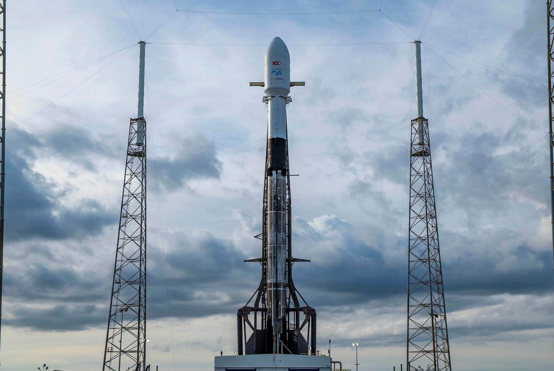
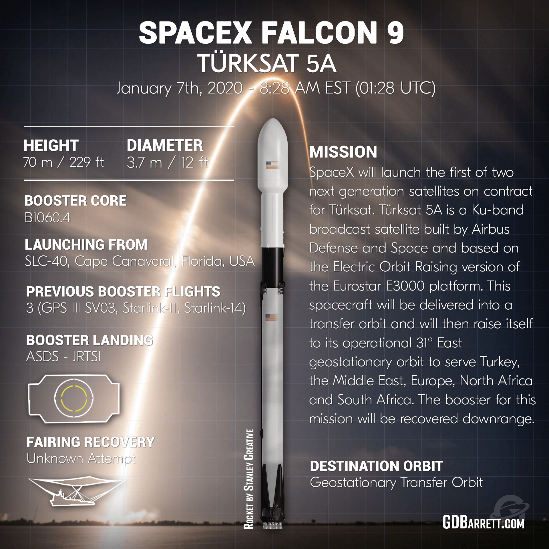
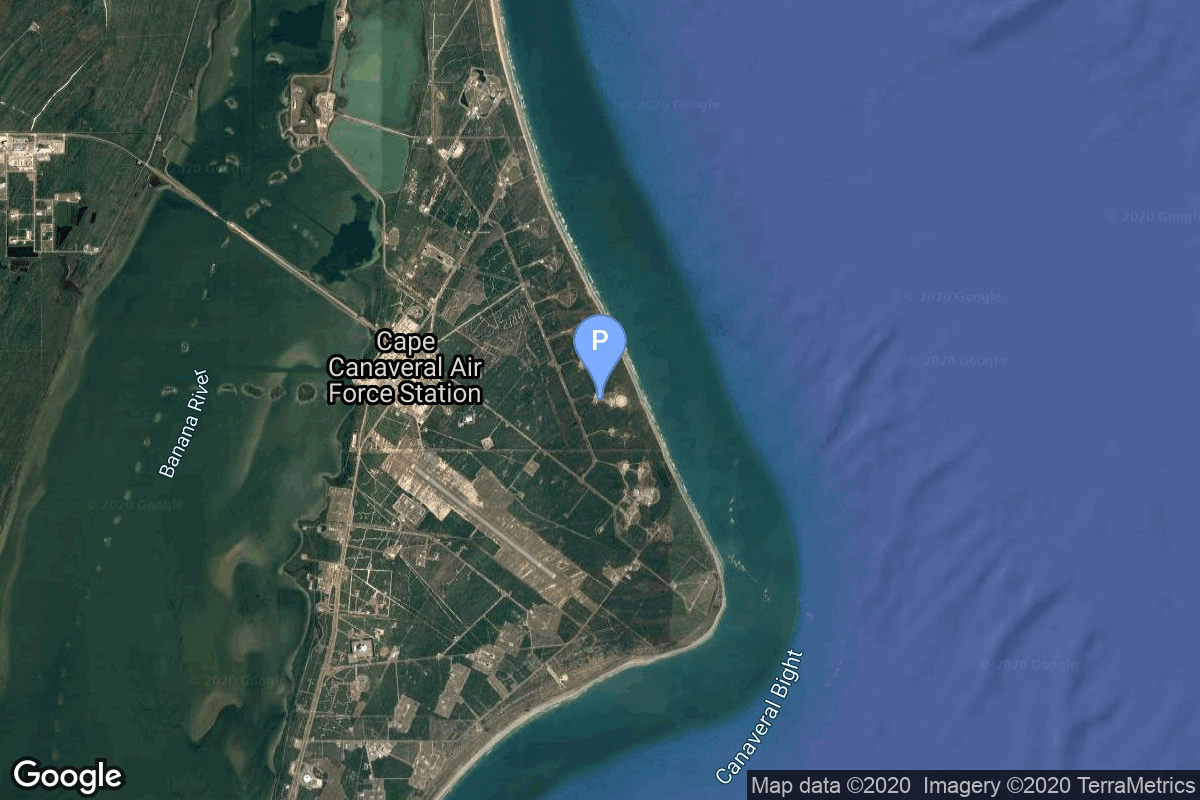
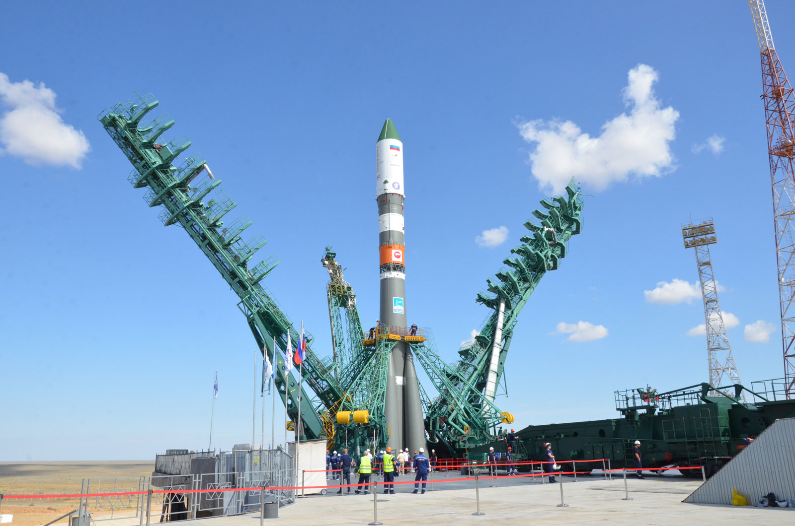
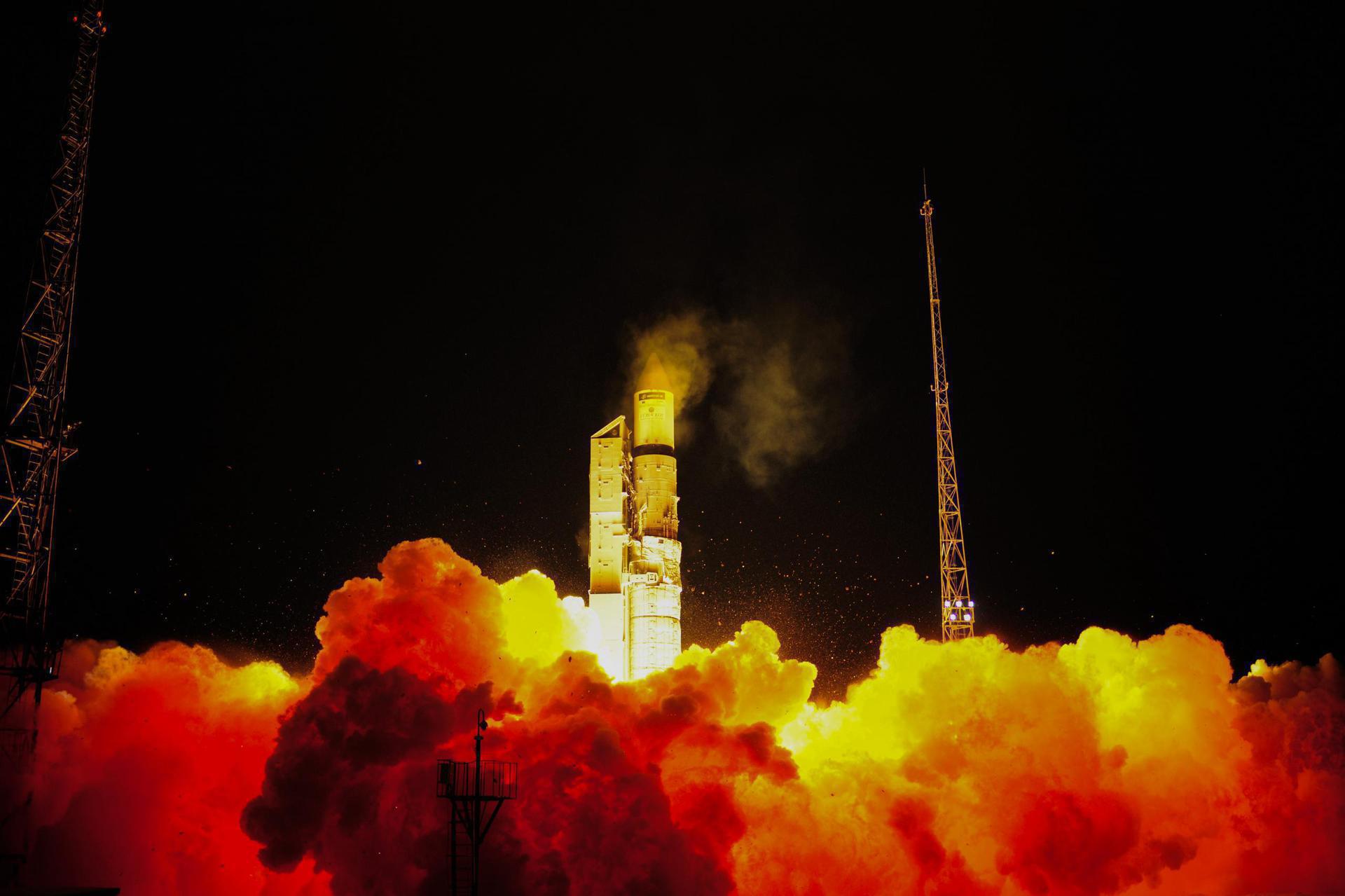
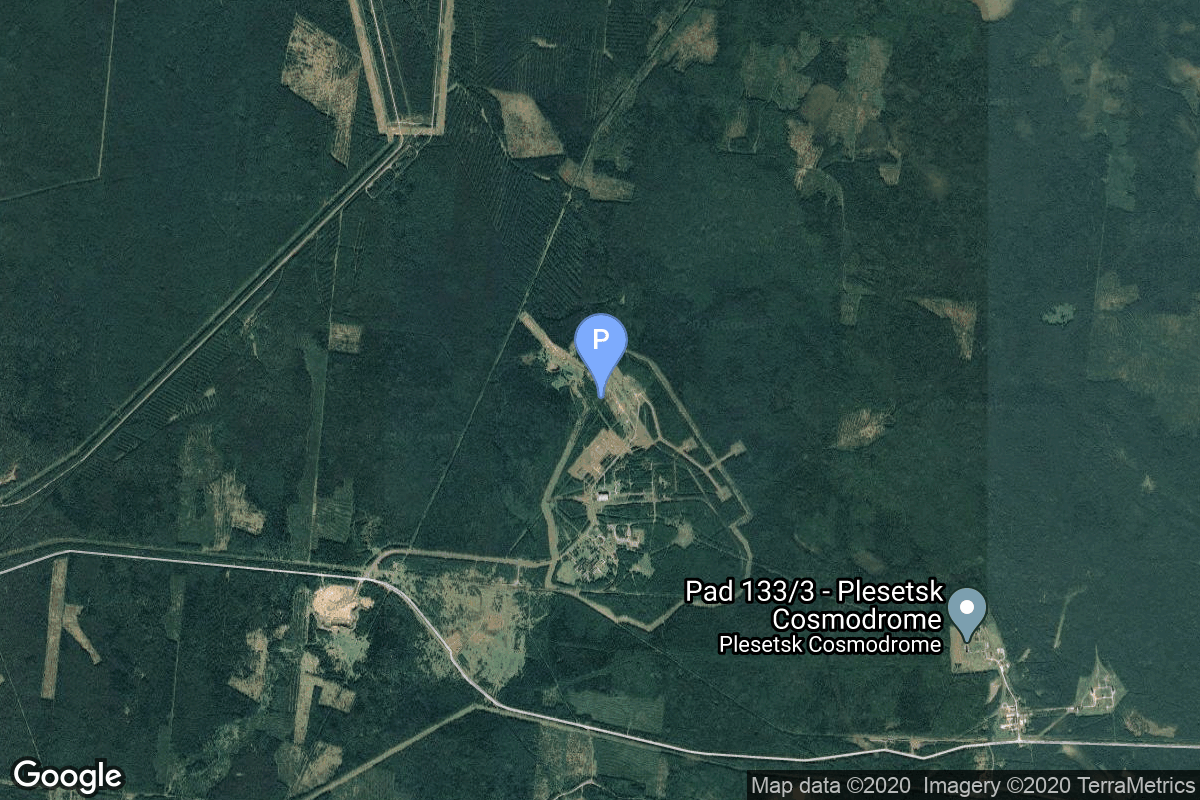
{ "count": 7943, "next": "https://ll.thespacedevs.com/2.2.0/launch/?format=api&limit=10&offset=6670&ordering=id", "previous": "https://ll.thespacedevs.com/2.2.0/launch/?format=api&limit=10&offset=6650&ordering=id", "results": [ { "id": "d5d607b7-05ed-4142-8703-14b553c195e0", "url": "https://ll.thespacedevs.com/2.2.0/launch/d5d607b7-05ed-4142-8703-14b553c195e0/?format=api", "slug": "falcon-9-block-5-turksat-5a", "name": "Falcon 9 Block 5 | Türksat 5A", "status": { "id": 3, "name": "Launch Successful", "abbrev": "Success", "description": "The launch vehicle successfully inserted its payload(s) into the target orbit(s)." }, "last_updated": "2024-03-05T18:10:54Z", "net": "2021-01-08T02:15:00Z", "window_end": "2021-01-08T05:28:00Z", "window_start": "2021-01-08T01:28:00Z", "net_precision": null, "probability": 70, "weather_concerns": null, "holdreason": "", "failreason": "", "hashtag": null, "launch_service_provider": { "id": 121, "url": "https://ll.thespacedevs.com/2.2.0/agencies/121/?format=api", "name": "SpaceX", "type": "Commercial" }, "rocket": { "id": 136, "configuration": { "id": 164, "url": "https://ll.thespacedevs.com/2.2.0/config/launcher/164/?format=api", "name": "Falcon 9", "family": "Falcon", "full_name": "Falcon 9 Block 5", "variant": "Block 5" } }, "mission": { "id": 1222, "name": "Türksat 5A", "description": "Türksat 5A is the first of two Turkish next generation communications satellites, which will be operated by Türksat for commercial and military purposes.", "launch_designator": null, "type": "Communications", "orbit": { "id": 2, "name": "Geostationary Transfer Orbit", "abbrev": "GTO" }, "agencies": [], "info_urls": [], "vid_urls": [] }, "pad": { "id": 80, "url": "https://ll.thespacedevs.com/2.2.0/pad/80/?format=api", "agency_id": 121, "name": "Space Launch Complex 40", "description": "", "info_url": null, "wiki_url": "https://en.wikipedia.org/wiki/Cape_Canaveral_Air_Force_Station_Space_Launch_Complex_40", "map_url": "https://www.google.com/maps?q=28.56194122,-80.57735736", "latitude": "28.56194122", "longitude": "-80.57735736", "location": { "id": 12, "url": "https://ll.thespacedevs.com/2.2.0/location/12/?format=api", "name": "Cape Canaveral SFS, FL, USA", "country_code": "USA", "description": "Cape Canaveral Space Force Station (CCSFS) is an installation of the United States Space Force's Space Launch Delta 45, located on Cape Canaveral in Brevard County, Florida.", "map_image": "https://thespacedevs-prod.nyc3.digitaloceanspaces.com/media/map_images/location_12_20200803142519.jpg", "timezone_name": "America/New_York", "total_launch_count": 1123, "total_landing_count": 76 }, "country_code": "USA", "map_image": "https://thespacedevs-prod.nyc3.digitaloceanspaces.com/media/map_images/pad_80_20200803143323.jpg", "total_launch_count": 395, "orbital_launch_attempt_count": 395 }, "webcast_live": false, "image": "https://thespacedevs-prod.nyc3.digitaloceanspaces.com/media/images/falcon2520925_image_20210107183433.jpeg", "infographic": "https://thespacedevs-prod.nyc3.digitaloceanspaces.com/media/infographic_images/falcon2520925_infographic_20210105214353.png", "program": [], "orbital_launch_attempt_count": 6038, "location_launch_attempt_count": 812, "pad_launch_attempt_count": 118, "agency_launch_attempt_count": 118, "orbital_launch_attempt_count_year": 1, "location_launch_attempt_count_year": 1, "pad_launch_attempt_count_year": 1, "agency_launch_attempt_count_year": 1, "type": "normal" }, { "id": "d5e3b696-9d7b-40a3-a132-ea86484c6c29", "url": "https://ll.thespacedevs.com/2.2.0/launch/d5e3b696-9d7b-40a3-a132-ea86484c6c29/?format=api", "slug": "kosmos-3m-taifun-1b-3", "name": "Kosmos-3M | Taifun-1B 3", "status": { "id": 3, "name": "Launch Successful", "abbrev": "Success", "description": "The launch vehicle successfully inserted its payload(s) into the target orbit(s)." }, "last_updated": "2023-06-14T04:24:41Z", "net": "1982-10-21T14:00:00Z", "window_end": "1982-10-21T14:00:00Z", "window_start": "1982-10-21T14:00:00Z", "net_precision": null, "probability": null, "weather_concerns": null, "holdreason": "", "failreason": null, "hashtag": null, "launch_service_provider": { "id": 66, "url": "https://ll.thespacedevs.com/2.2.0/agencies/66/?format=api", "name": "Soviet Space Program", "type": "Government" }, "rocket": { "id": 5456, "configuration": { "id": 102, "url": "https://ll.thespacedevs.com/2.2.0/config/launcher/102/?format=api", "name": "Kosmos-3M", "family": "Kosmos", "full_name": "Kosmos-3M (11K65M)", "variant": "-3M" } }, "mission": { "id": 3861, "name": "Taifun-1B 3", "description": "Passive radar calibration satellite", "launch_designator": null, "type": "Test Target", "orbit": { "id": 8, "name": "Low Earth Orbit", "abbrev": "LEO" }, "agencies": [], "info_urls": [], "vid_urls": [] }, "pad": { "id": 137, "url": "https://ll.thespacedevs.com/2.2.0/pad/137/?format=api", "agency_id": null, "name": "107/1", "description": null, "info_url": null, "wiki_url": "https://en.wikipedia.org/wiki/Kapustin_Yar", "map_url": "https://www.google.com/maps?q=48.540716,46.296826", "latitude": "48.540716", "longitude": "46.296826", "location": { "id": 30, "url": "https://ll.thespacedevs.com/2.2.0/location/30/?format=api", "name": "Kapustin Yar, Russian Federation", "country_code": "RUS", "description": "Kapustin Yar is a Russian military training area and a rocket launch complex in Astrakhan Oblast, about 100 km east of Volgograd. It was established by the Soviet Union on 13 May 1946. In the beginning, Kapustin Yar used technology, material, and scientific support gained from the defeat of Germany in World War II. Numerous launches of test rockets for the Russian military were carried out at the site, as well as satellite and sounding rocket launches.", "map_image": "https://thespacedevs-prod.nyc3.digitaloceanspaces.com/media/map_images/location_30_20200803142515.jpg", "timezone_name": "Europe/Volgograd", "total_launch_count": 101, "total_landing_count": 0 }, "country_code": "RUS", "map_image": "https://thespacedevs-prod.nyc3.digitaloceanspaces.com/media/map_images/pad_137_20200803143332.jpg", "total_launch_count": 20, "orbital_launch_attempt_count": 20 }, "webcast_live": false, "image": "https://thespacedevs-prod.nyc3.digitaloceanspaces.com/media/images/kosmos-3m_durin_image_20251101171325.jpg", "infographic": null, "program": [], "orbital_launch_attempt_count": 2627, "location_launch_attempt_count": 91, "pad_launch_attempt_count": 13, "agency_launch_attempt_count": 1645, "orbital_launch_attempt_count_year": 110, "location_launch_attempt_count_year": 5, "pad_launch_attempt_count_year": 5, "agency_launch_attempt_count_year": 94, "type": "normal" }, { "id": "d5e7b928-9733-4887-86d0-fbc53331e322", "url": "https://ll.thespacedevs.com/2.2.0/launch/d5e7b928-9733-4887-86d0-fbc53331e322/?format=api", "slug": "thor-dm-21-ablestar-5-payloads-rideshare", "name": "Thor DM-21 Ablestar | 5 Payloads Rideshare", "status": { "id": 4, "name": "Launch Failure", "abbrev": "Failure", "description": "Either the launch vehicle did not reach orbit, or the payload(s) failed to separate." }, "last_updated": "2023-06-14T17:42:57Z", "net": "1962-01-24T09:30:00Z", "window_end": "1962-01-24T09:30:00Z", "window_start": "1962-01-24T09:30:00Z", "net_precision": null, "probability": null, "weather_concerns": null, "holdreason": "", "failreason": null, "hashtag": null, "launch_service_provider": { "id": 161, "url": "https://ll.thespacedevs.com/2.2.0/agencies/161/?format=api", "name": "United States Air Force", "type": "Government" }, "rocket": { "id": 3103, "configuration": { "id": 187, "url": "https://ll.thespacedevs.com/2.2.0/config/launcher/187/?format=api", "name": "Thor DM-21 Ablestar", "family": "Thor", "full_name": "Thor DM-21 Ablestar", "variant": "DM-21" } }, "mission": { "id": 1525, "name": "5 Payloads Rideshare", "description": "Rideshare launch carrying LOFTI 2, SECOR, Poppy 1, Injun 2 and Surcal 1.", "launch_designator": null, "type": "Dedicated Rideshare", "orbit": { "id": 8, "name": "Low Earth Orbit", "abbrev": "LEO" }, "agencies": [], "info_urls": [], "vid_urls": [] }, "pad": { "id": 1, "url": "https://ll.thespacedevs.com/2.2.0/pad/1/?format=api", "agency_id": null, "name": "Space Launch Complex 17B", "description": "", "info_url": null, "wiki_url": "https://en.wikipedia.org/wiki/Cape_Canaveral_Space_Launch_Complex_17", "map_url": "https://www.google.com/maps?q=28.4458,-80.5657", "latitude": "28.4458", "longitude": "-80.5657", "location": { "id": 12, "url": "https://ll.thespacedevs.com/2.2.0/location/12/?format=api", "name": "Cape Canaveral SFS, FL, USA", "country_code": "USA", "description": "Cape Canaveral Space Force Station (CCSFS) is an installation of the United States Space Force's Space Launch Delta 45, located on Cape Canaveral in Brevard County, Florida.", "map_image": "https://thespacedevs-prod.nyc3.digitaloceanspaces.com/media/map_images/location_12_20200803142519.jpg", "timezone_name": "America/New_York", "total_launch_count": 1123, "total_landing_count": 76 }, "country_code": "USA", "map_image": "https://thespacedevs-prod.nyc3.digitaloceanspaces.com/media/map_images/pad_1_20200803143208.jpg", "total_launch_count": 132, "orbital_launch_attempt_count": 132 }, "webcast_live": false, "image": "https://thespacedevs-prod.nyc3.digitaloceanspaces.com/media/images/thor2520dm-212520ablestar_image_20191201205131.jpg", "infographic": null, "program": [], "orbital_launch_attempt_count": 144, "location_launch_attempt_count": 73, "pad_launch_attempt_count": 9, "agency_launch_attempt_count": 73, "orbital_launch_attempt_count_year": 2, "location_launch_attempt_count_year": 1, "pad_launch_attempt_count_year": 1, "agency_launch_attempt_count_year": 2, "type": "normal" }, { "id": "d5e8b971-0138-42d7-a6ba-7d43bf529d5e", "url": "https://ll.thespacedevs.com/2.2.0/launch/d5e8b971-0138-42d7-a6ba-7d43bf529d5e/?format=api", "slug": "falcon-9-block-5-starlink-group-6-93", "name": "Falcon 9 Block 5 | Starlink Group 6-93", "status": { "id": 3, "name": "Launch Successful", "abbrev": "Success", "description": "The launch vehicle successfully inserted its payload(s) into the target orbit(s)." }, "last_updated": "2025-05-07T06:25:16Z", "net": "2025-05-07T01:17:20Z", "window_end": "2025-05-07T03:37:09Z", "window_start": "2025-05-07T01:17:20Z", "net_precision": { "id": 0, "name": "Second", "abbrev": "SEC", "description": "The T-0 is accurate to the second." }, "probability": 85, "weather_concerns": "Anvil Cloud Rules, Cumulus Cloud Rule", "holdreason": "", "failreason": "", "hashtag": null, "launch_service_provider": { "id": 121, "url": "https://ll.thespacedevs.com/2.2.0/agencies/121/?format=api", "name": "SpaceX", "type": "Commercial" }, "rocket": { "id": 8599, "configuration": { "id": 164, "url": "https://ll.thespacedevs.com/2.2.0/config/launcher/164/?format=api", "name": "Falcon 9", "family": "Falcon", "full_name": "Falcon 9 Block 5", "variant": "Block 5" } }, "mission": { "id": 7191, "name": "Starlink Group 6-93", "description": "A batch of 28 satellites for the Starlink mega-constellation - SpaceX's project for space-based Internet communication system.", "launch_designator": null, "type": "Communications", "orbit": { "id": 8, "name": "Low Earth Orbit", "abbrev": "LEO" }, "agencies": [ { "id": 121, "url": "https://ll.thespacedevs.com/2.2.0/agencies/121/?format=api", "name": "SpaceX", "featured": true, "type": "Commercial", "country_code": "USA", "abbrev": "SpX", "description": "Space Exploration Technologies Corp., known as SpaceX, is an American aerospace manufacturer and space transport services company headquartered in Hawthorne, California. It was founded in 2002 by entrepreneur Elon Musk with the goal of reducing space transportation costs and enabling the colonization of Mars. SpaceX operates from many pads, on the East Coast of the US they operate from SLC-40 at Cape Canaveral Space Force Station and historic LC-39A at Kennedy Space Center. They also operate from SLC-4E at Vandenberg Space Force Base, California, usually for polar launches. Another launch site is being developed at Boca Chica, Texas.", "administrator": "CEO: Elon Musk", "founding_year": "2002", "launchers": "Falcon | Starship", "spacecraft": "Dragon", "launch_library_url": null, "total_launch_count": 710, "consecutive_successful_launches": 195, "successful_launches": 695, "failed_launches": 15, "pending_launches": 129, "consecutive_successful_landings": 2, "successful_landings": 653, "failed_landings": 29, "attempted_landings": 681, "info_url": "https://www.spacex.com/", "wiki_url": "https://en.wikipedia.org/wiki/SpaceX", "logo_url": "https://thespacedevs-prod.nyc3.digitaloceanspaces.com/media/images/spacex_logo_20220826094919.png", "image_url": "https://thespacedevs-prod.nyc3.digitaloceanspaces.com/media/images/falcon_9_image_20230807133459.jpeg", "nation_url": "https://thespacedevs-prod.nyc3.digitaloceanspaces.com/media/images/spacex_social_l_image_20260407054626.jpg" } ], "info_urls": [], "vid_urls": [] }, "pad": { "id": 80, "url": "https://ll.thespacedevs.com/2.2.0/pad/80/?format=api", "agency_id": 121, "name": "Space Launch Complex 40", "description": "", "info_url": null, "wiki_url": "https://en.wikipedia.org/wiki/Cape_Canaveral_Air_Force_Station_Space_Launch_Complex_40", "map_url": "https://www.google.com/maps?q=28.56194122,-80.57735736", "latitude": "28.56194122", "longitude": "-80.57735736", "location": { "id": 12, "url": "https://ll.thespacedevs.com/2.2.0/location/12/?format=api", "name": "Cape Canaveral SFS, FL, USA", "country_code": "USA", "description": "Cape Canaveral Space Force Station (CCSFS) is an installation of the United States Space Force's Space Launch Delta 45, located on Cape Canaveral in Brevard County, Florida.", "map_image": "https://thespacedevs-prod.nyc3.digitaloceanspaces.com/media/map_images/location_12_20200803142519.jpg", "timezone_name": "America/New_York", "total_launch_count": 1123, "total_landing_count": 76 }, "country_code": "USA", "map_image": "https://thespacedevs-prod.nyc3.digitaloceanspaces.com/media/map_images/pad_80_20200803143323.jpg", "total_launch_count": 395, "orbital_launch_attempt_count": 395 }, "webcast_live": false, "image": "https://thespacedevs-prod.nyc3.digitaloceanspaces.com/media/images/falcon2520925_image_20221009234147.png", "infographic": null, "program": [ { "id": 25, "url": "https://ll.thespacedevs.com/2.2.0/program/25/?format=api", "name": "Starlink", "description": "Starlink is a satellite internet constellation operated by American aerospace company SpaceX", "agencies": [ { "id": 121, "url": "https://ll.thespacedevs.com/2.2.0/agencies/121/?format=api", "name": "SpaceX", "type": "Commercial" } ], "image_url": "https://thespacedevs-prod.nyc3.digitaloceanspaces.com/media/images/starlink_program_20231228154508.jpeg", "start_date": "2018-02-22T14:17:00Z", "end_date": null, "info_url": "https://starlink.com", "wiki_url": "https://en.wikipedia.org/wiki/Starlink", "mission_patches": [ { "id": 7, "name": "Space X Starlink Mission Patch", "priority": 10, "image_url": "https://thespacedevs-prod.nyc3.digitaloceanspaces.com/media/mission_patch_images/space2520x252_mission_patch_20221011205756.png", "agency": { "id": 121, "url": "https://ll.thespacedevs.com/2.2.0/agencies/121/?format=api", "name": "SpaceX", "type": "Commercial" } } ], "type": { "id": 3, "name": "Communication Constellation" } } ], "orbital_launch_attempt_count": 6945, "location_launch_attempt_count": 1021, "pad_launch_attempt_count": 305, "agency_launch_attempt_count": 504, "orbital_launch_attempt_count_year": 96, "location_launch_attempt_count_year": 27, "pad_launch_attempt_count_year": 25, "agency_launch_attempt_count_year": 55, "type": "normal" }, { "id": "d5f31d7d-571c-41a3-8872-639b2bac2824", "url": "https://ll.thespacedevs.com/2.2.0/launch/d5f31d7d-571c-41a3-8872-639b2bac2824/?format=api", "slug": "atlas-slv-3-agena-d-lunar-orbiter-4", "name": "Atlas SLV-3 Agena D | Lunar Orbiter 4", "status": { "id": 3, "name": "Launch Successful", "abbrev": "Success", "description": "The launch vehicle successfully inserted its payload(s) into the target orbit(s)." }, "last_updated": "2023-06-14T17:40:23Z", "net": "1967-05-04T22:25:00Z", "window_end": "1967-05-04T22:25:00Z", "window_start": "1967-05-04T22:25:00Z", "net_precision": null, "probability": null, "weather_concerns": null, "holdreason": "", "failreason": null, "hashtag": null, "launch_service_provider": { "id": 161, "url": "https://ll.thespacedevs.com/2.2.0/agencies/161/?format=api", "name": "United States Air Force", "type": "Government" }, "rocket": { "id": 3652, "configuration": { "id": 258, "url": "https://ll.thespacedevs.com/2.2.0/config/launcher/258/?format=api", "name": "Atlas SLV-3 Agena D", "family": "Atlas", "full_name": "Atlas SLV-3 Agena D", "variant": "SLV-3 Agena D" } }, "mission": { "id": 2070, "name": "Lunar Orbiter 4", "description": "Lunar probe designed to photograph the surface of the Moon with a resolution down to 1 meter.", "launch_designator": null, "type": "Lunar Exploration", "orbit": { "id": 11, "name": "Lunar Orbit", "abbrev": "LO" }, "agencies": [], "info_urls": [], "vid_urls": [] }, "pad": { "id": 117, "url": "https://ll.thespacedevs.com/2.2.0/pad/117/?format=api", "agency_id": 161, "name": "Space Launch Complex 13", "description": null, "info_url": null, "wiki_url": "https://en.wikipedia.org/wiki/Cape_Canaveral_Launch_Complex_13", "map_url": "https://www.google.com/maps?q=28.4859,-80.546594", "latitude": "28.4859", "longitude": "-80.546594", "location": { "id": 12, "url": "https://ll.thespacedevs.com/2.2.0/location/12/?format=api", "name": "Cape Canaveral SFS, FL, USA", "country_code": "USA", "description": "Cape Canaveral Space Force Station (CCSFS) is an installation of the United States Space Force's Space Launch Delta 45, located on Cape Canaveral in Brevard County, Florida.", "map_image": "https://thespacedevs-prod.nyc3.digitaloceanspaces.com/media/map_images/location_12_20200803142519.jpg", "timezone_name": "America/New_York", "total_launch_count": 1123, "total_landing_count": 76 }, "country_code": "USA", "map_image": "https://thespacedevs-prod.nyc3.digitaloceanspaces.com/media/map_images/pad_117_20200803143223.jpg", "total_launch_count": 21, "orbital_launch_attempt_count": 21 }, "webcast_live": false, "image": "https://thespacedevs-prod.nyc3.digitaloceanspaces.com/media/images/atlas-slv3_agen_image_20251102060811.jpg", "infographic": null, "program": [], "orbital_launch_attempt_count": 694, "location_launch_attempt_count": 202, "pad_launch_attempt_count": 8, "agency_launch_attempt_count": 394, "orbital_launch_attempt_count_year": 46, "location_launch_attempt_count_year": 10, "pad_launch_attempt_count_year": 2, "agency_launch_attempt_count_year": 22, "type": "normal" }, { "id": "d5f4ad92-a41f-40a6-b5c2-ccb65fc83150", "url": "https://ll.thespacedevs.com/2.2.0/launch/d5f4ad92-a41f-40a6-b5c2-ccb65fc83150/?format=api", "slug": "soyuz-21a-progress-ms-62p", "name": "Soyuz 2.1a | Progress MS (62P)", "status": { "id": 3, "name": "Launch Successful", "abbrev": "Success", "description": "The launch vehicle successfully inserted its payload(s) into the target orbit(s)." }, "last_updated": "2023-06-14T03:41:20Z", "net": "2015-12-21T08:44:39Z", "window_end": "2015-12-21T08:44:39Z", "window_start": "2015-12-21T08:44:39Z", "net_precision": null, "probability": null, "weather_concerns": null, "holdreason": "", "failreason": null, "hashtag": null, "launch_service_provider": { "id": 63, "url": "https://ll.thespacedevs.com/2.2.0/agencies/63/?format=api", "name": "Russian Federal Space Agency (ROSCOSMOS)", "type": "Government" }, "rocket": { "id": 1896, "configuration": { "id": 24, "url": "https://ll.thespacedevs.com/2.2.0/config/launcher/24/?format=api", "name": "Soyuz 2.1a", "family": "Soyuz", "full_name": "Soyuz 2.1a", "variant": "" } }, "mission": { "id": 80, "name": "Progress MS (62P)", "description": "The Progress resupply vehicle is an automated, unpiloted version of the Soyuz spacecraft that is used to bring supplies and fuel to the International Space Station.", "launch_designator": null, "type": "Resupply", "orbit": { "id": 8, "name": "Low Earth Orbit", "abbrev": "LEO" }, "agencies": [], "info_urls": [], "vid_urls": [] }, "pad": { "id": 20, "url": "https://ll.thespacedevs.com/2.2.0/pad/20/?format=api", "agency_id": null, "name": "31/6", "description": "", "info_url": null, "wiki_url": "https://en.wikipedia.org/wiki/Baikonur_Cosmodrome_Site_31", "map_url": "https://www.google.com/maps?q=45.996034,63.564003", "latitude": "45.996034", "longitude": "63.564003", "location": { "id": 15, "url": "https://ll.thespacedevs.com/2.2.0/location/15/?format=api", "name": "Baikonur Cosmodrome, Republic of Kazakhstan", "country_code": "KAZ", "description": "The Baikonur Cosmodrome is a spaceport operated by Russia within Kazakhstan. Located in the Kazakh city of Baikonur, it is the largest operational space launch facility in terms of area. All Russian crewed spaceflights are launched from Baikonur.", "map_image": "https://thespacedevs-prod.nyc3.digitaloceanspaces.com/media/map_images/location_15_20200803142517.jpg", "timezone_name": "Asia/Qyzylorda", "total_launch_count": 1564, "total_landing_count": 0 }, "country_code": "KAZ", "map_image": "https://thespacedevs-prod.nyc3.digitaloceanspaces.com/media/map_images/pad_20_20200803143516.jpg", "total_launch_count": 429, "orbital_launch_attempt_count": 429 }, "webcast_live": false, "image": "https://thespacedevs-prod.nyc3.digitaloceanspaces.com/media/images/soyuz_2.1a_image_20230805184309.jpg", "infographic": null, "program": [ { "id": 17, "url": "https://ll.thespacedevs.com/2.2.0/program/17/?format=api", "name": "International Space Station", "description": "The International Space Station programme is tied together by a complex set of legal, political and financial agreements between the sixteen nations involved in the project, governing ownership of the various components, rights to crewing and utilization, and responsibilities for crew rotation and resupply of the International Space Station. It was conceived in 1984 by President Ronald Reagan, during the Space Station Freedom project as it was originally called.", "agencies": [ { "id": 16, "url": "https://ll.thespacedevs.com/2.2.0/agencies/16/?format=api", "name": "Canadian Space Agency", "type": "Government" }, { "id": 27, "url": "https://ll.thespacedevs.com/2.2.0/agencies/27/?format=api", "name": "European Space Agency", "type": "Multinational" }, { "id": 37, "url": "https://ll.thespacedevs.com/2.2.0/agencies/37/?format=api", "name": "Japan Aerospace Exploration Agency", "type": "Government" }, { "id": 44, "url": "https://ll.thespacedevs.com/2.2.0/agencies/44/?format=api", "name": "National Aeronautics and Space Administration", "type": "Government" }, { "id": 63, "url": "https://ll.thespacedevs.com/2.2.0/agencies/63/?format=api", "name": "Russian Federal Space Agency (ROSCOSMOS)", "type": "Government" } ], "image_url": "https://thespacedevs-prod.nyc3.digitaloceanspaces.com/media/images/international2_program_20201129184745.png", "start_date": "1998-11-20T06:40:00Z", "end_date": null, "info_url": "https://www.nasa.gov/mission_pages/station/main/index.html", "wiki_url": "https://en.wikipedia.org/wiki/International_Space_Station_programme", "mission_patches": [], "type": { "id": 2, "name": "Human Spaceflight" } } ], "orbital_launch_attempt_count": 5526, "location_launch_attempt_count": 1461, "pad_launch_attempt_count": 366, "agency_launch_attempt_count": 252, "orbital_launch_attempt_count_year": 84, "location_launch_attempt_count_year": 17, "pad_launch_attempt_count_year": 2, "agency_launch_attempt_count_year": 10, "type": "normal" }, { "id": "d5f7d341-c634-4436-9330-cc3a40b95826", "url": "https://ll.thespacedevs.com/2.2.0/launch/d5f7d341-c634-4436-9330-cc3a40b95826/?format=api", "slug": "rokot-briz-km-3x-strela-3m-kosmos-2496-kosmos-2497", "name": "Rokot / Briz-KM | 3x Strela-3M (Kosmos 2496, Kosmos 2497, Kosmos 2498) & Kosmos 2499", "status": { "id": 3, "name": "Launch Successful", "abbrev": "Success", "description": "The launch vehicle successfully inserted its payload(s) into the target orbit(s)." }, "last_updated": "2023-06-14T03:31:47Z", "net": "2014-05-23T05:27:54Z", "window_end": "2014-05-23T05:27:54Z", "window_start": "2014-05-23T05:27:54Z", "net_precision": null, "probability": null, "weather_concerns": null, "holdreason": "", "failreason": null, "hashtag": null, "launch_service_provider": { "id": 163, "url": "https://ll.thespacedevs.com/2.2.0/agencies/163/?format=api", "name": "Russian Aerospace Defence Forces", "type": "Government" }, "rocket": { "id": 1758, "configuration": { "id": 40, "url": "https://ll.thespacedevs.com/2.2.0/config/launcher/40/?format=api", "name": "Rokot/Briz-KM", "family": "Rokot", "full_name": "Rokot/Briz-KM", "variant": "Briz-KM" } }, "mission": { "id": 56, "name": "Rodnik", "description": "Classified payload for Russia", "launch_designator": null, "type": "Government/Top Secret", "orbit": { "id": 8, "name": "Low Earth Orbit", "abbrev": "LEO" }, "agencies": [], "info_urls": [], "vid_urls": [] }, "pad": { "id": 3, "url": "https://ll.thespacedevs.com/2.2.0/pad/3/?format=api", "agency_id": 163, "name": "133/3 (133L)", "description": null, "info_url": null, "wiki_url": "", "map_url": "https://www.google.com/maps?q=62.886999,40.846984", "latitude": "62.886999", "longitude": "40.846984", "location": { "id": 6, "url": "https://ll.thespacedevs.com/2.2.0/location/6/?format=api", "name": "Plesetsk Cosmodrome, Russian Federation", "country_code": "RUS", "description": "Plesetsk Cosmodrome is a Russian spaceport located in Mirny, Arkhangelsk Oblast, about 800 km north of Moscow and approximately 200 km south of Arkhangelsk. Originally developed as an ICBM site for the R-7 missile, it also served for numerous satellite launches using the R-7 and other rockets. Its high latitude makes it useful only for certain types of launches, especially the Molniya orbits, so for much of the site's history it functioned as a secondary location, with most orbital launches taking place from Baikonur, in the Kazakh SSR. With the end of the Soviet Union, Baikonur became a foreign territory, and Kazakhstan charged $115 million usage fees annually. Consequently, Plesetsk has seen considerably more activity since the 2000s.", "map_image": "https://thespacedevs-prod.nyc3.digitaloceanspaces.com/media/map_images/location_6_20200803142434.jpg", "timezone_name": "Europe/Moscow", "total_launch_count": 1686, "total_landing_count": 0 }, "country_code": "RUS", "map_image": "https://thespacedevs-prod.nyc3.digitaloceanspaces.com/media/map_images/pad_3_20200803143438.jpg", "total_launch_count": 159, "orbital_launch_attempt_count": 159 }, "webcast_live": false, "image": "https://thespacedevs-prod.nyc3.digitaloceanspaces.com/media/images/rokot25202f2520briz-km_image_20190224012237.jpeg", "infographic": null, "program": [], "orbital_launch_attempt_count": 5378, "location_launch_attempt_count": 1596, "pad_launch_attempt_count": 149, "agency_launch_attempt_count": 13, "orbital_launch_attempt_count_year": 29, "location_launch_attempt_count_year": 3, "pad_launch_attempt_count_year": 1, "agency_launch_attempt_count_year": 3, "type": "normal" }, { "id": "d6100af7-a4ea-4013-ab10-3c4bfd75cdde", "url": "https://ll.thespacedevs.com/2.2.0/launch/d6100af7-a4ea-4013-ab10-3c4bfd75cdde/?format=api", "slug": "kosmos-3m-nadezhda-3", "name": "Kosmos-3M | Nadezhda 3", "status": { "id": 3, "name": "Launch Successful", "abbrev": "Success", "description": "The launch vehicle successfully inserted its payload(s) into the target orbit(s)." }, "last_updated": "2023-06-14T04:27:36Z", "net": "1984-06-21T19:40:03Z", "window_end": "1984-06-21T19:40:03Z", "window_start": "1984-06-21T19:40:03Z", "net_precision": null, "probability": null, "weather_concerns": null, "holdreason": "", "failreason": null, "hashtag": null, "launch_service_provider": { "id": 66, "url": "https://ll.thespacedevs.com/2.2.0/agencies/66/?format=api", "name": "Soviet Space Program", "type": "Government" }, "rocket": { "id": 5647, "configuration": { "id": 102, "url": "https://ll.thespacedevs.com/2.2.0/config/launcher/102/?format=api", "name": "Kosmos-3M", "family": "Kosmos", "full_name": "Kosmos-3M (11K65M)", "variant": "-3M" } }, "mission": { "id": 4049, "name": "Nadezhda 3", "description": "Civilian navigation satellite equivalent to the purely military Parus", "launch_designator": null, "type": "Navigation", "orbit": { "id": 8, "name": "Low Earth Orbit", "abbrev": "LEO" }, "agencies": [], "info_urls": [], "vid_urls": [] }, "pad": { "id": 167, "url": "https://ll.thespacedevs.com/2.2.0/pad/167/?format=api", "agency_id": null, "name": "132/2", "description": null, "info_url": null, "wiki_url": "https://en.wikipedia.org/wiki/Plesetsk_Cosmodrome", "map_url": "https://www.google.com/maps?q=62.883,40.869806", "latitude": "62.883", "longitude": "40.869806", "location": { "id": 6, "url": "https://ll.thespacedevs.com/2.2.0/location/6/?format=api", "name": "Plesetsk Cosmodrome, Russian Federation", "country_code": "RUS", "description": "Plesetsk Cosmodrome is a Russian spaceport located in Mirny, Arkhangelsk Oblast, about 800 km north of Moscow and approximately 200 km south of Arkhangelsk. Originally developed as an ICBM site for the R-7 missile, it also served for numerous satellite launches using the R-7 and other rockets. Its high latitude makes it useful only for certain types of launches, especially the Molniya orbits, so for much of the site's history it functioned as a secondary location, with most orbital launches taking place from Baikonur, in the Kazakh SSR. With the end of the Soviet Union, Baikonur became a foreign territory, and Kazakhstan charged $115 million usage fees annually. Consequently, Plesetsk has seen considerably more activity since the 2000s.", "map_image": "https://thespacedevs-prod.nyc3.digitaloceanspaces.com/media/map_images/location_6_20200803142434.jpg", "timezone_name": "Europe/Moscow", "total_launch_count": 1686, "total_landing_count": 0 }, "country_code": "RUS", "map_image": "https://thespacedevs-prod.nyc3.digitaloceanspaces.com/media/map_images/pad_167_20200803143417.jpg", "total_launch_count": 172, "orbital_launch_attempt_count": 172 }, "webcast_live": false, "image": "https://thespacedevs-prod.nyc3.digitaloceanspaces.com/media/images/kosmos-3m_durin_image_20251101171325.jpg", "infographic": null, "program": [], "orbital_launch_attempt_count": 2837, "location_launch_attempt_count": 999, "pad_launch_attempt_count": 146, "agency_launch_attempt_count": 1806, "orbital_launch_attempt_count_year": 62, "location_launch_attempt_count_year": 30, "pad_launch_attempt_count_year": 6, "agency_launch_attempt_count_year": 47, "type": "normal" }, { "id": "d610b87b-fdee-422c-a094-eb46bda9cba0", "url": "https://ll.thespacedevs.com/2.2.0/launch/d610b87b-fdee-422c-a094-eb46bda9cba0/?format=api", "slug": "tsiklon-3-geo-ik-13", "name": "Tsiklon-3 | Geo-IK 13", "status": { "id": 3, "name": "Launch Successful", "abbrev": "Success", "description": "The launch vehicle successfully inserted its payload(s) into the target orbit(s)." }, "last_updated": "2023-06-14T04:23:07Z", "net": "1992-12-22T12:36:00Z", "window_end": "1992-12-22T12:36:00Z", "window_start": "1992-12-22T12:36:00Z", "net_precision": null, "probability": null, "weather_concerns": null, "holdreason": "", "failreason": "", "hashtag": null, "launch_service_provider": { "id": 193, "url": "https://ll.thespacedevs.com/2.2.0/agencies/193/?format=api", "name": "Russian Space Forces", "type": "Government" }, "rocket": { "id": 6494, "configuration": { "id": 445, "url": "https://ll.thespacedevs.com/2.2.0/config/launcher/445/?format=api", "name": "Tsiklon-3", "family": "Tsiklon", "full_name": "Tsiklon-3", "variant": "3" } }, "mission": { "id": 4884, "name": "Geo-IK 13", "description": "A satellite for the GEO-IK geodetic system", "launch_designator": null, "type": "Earth Science", "orbit": { "id": 8, "name": "Low Earth Orbit", "abbrev": "LEO" }, "agencies": [], "info_urls": [], "vid_urls": [] }, "pad": { "id": 127, "url": "https://ll.thespacedevs.com/2.2.0/pad/127/?format=api", "agency_id": 63, "name": "32/2", "description": null, "info_url": null, "wiki_url": "https://en.wikipedia.org/wiki/Plesetsk_Cosmodrome_Site_32", "map_url": "https://www.google.com/maps?q=62.9063889,40.7844727", "latitude": "62.9063889", "longitude": "40.7844727", "location": { "id": 6, "url": "https://ll.thespacedevs.com/2.2.0/location/6/?format=api", "name": "Plesetsk Cosmodrome, Russian Federation", "country_code": "RUS", "description": "Plesetsk Cosmodrome is a Russian spaceport located in Mirny, Arkhangelsk Oblast, about 800 km north of Moscow and approximately 200 km south of Arkhangelsk. Originally developed as an ICBM site for the R-7 missile, it also served for numerous satellite launches using the R-7 and other rockets. Its high latitude makes it useful only for certain types of launches, especially the Molniya orbits, so for much of the site's history it functioned as a secondary location, with most orbital launches taking place from Baikonur, in the Kazakh SSR. With the end of the Soviet Union, Baikonur became a foreign territory, and Kazakhstan charged $115 million usage fees annually. Consequently, Plesetsk has seen considerably more activity since the 2000s.", "map_image": "https://thespacedevs-prod.nyc3.digitaloceanspaces.com/media/map_images/location_6_20200803142434.jpg", "timezone_name": "Europe/Moscow", "total_launch_count": 1686, "total_landing_count": 0 }, "country_code": "RUS", "map_image": "https://thespacedevs-prod.nyc3.digitaloceanspaces.com/media/map_images/pad_127_20200803143245.jpg", "total_launch_count": 65, "orbital_launch_attempt_count": 65 }, "webcast_live": false, "image": "https://thespacedevs-prod.nyc3.digitaloceanspaces.com/media/images/tsyklon-3_launc_image_20251112153513.png", "infographic": null, "program": [], "orbital_launch_attempt_count": 3782, "location_launch_attempt_count": 1412, "pad_launch_attempt_count": 56, "agency_launch_attempt_count": 16, "orbital_launch_attempt_count_year": 94, "location_launch_attempt_count_year": 31, "pad_launch_attempt_count_year": 2, "agency_launch_attempt_count_year": 16, "type": "normal" }, { "id": "d6142eb0-fa7a-471e-840c-cac729cf8022", "url": "https://ll.thespacedevs.com/2.2.0/launch/d6142eb0-fa7a-471e-840c-cac729cf8022/?format=api", "slug": "molniya-m-us-k-14", "name": "Molniya-M | US-K 14", "status": { "id": 3, "name": "Launch Successful", "abbrev": "Success", "description": "The launch vehicle successfully inserted its payload(s) into the target orbit(s)." }, "last_updated": "2023-06-14T04:29:14Z", "net": "1980-04-12T20:17:57Z", "window_end": "1980-04-12T20:17:57Z", "window_start": "1980-04-12T20:17:57Z", "net_precision": null, "probability": null, "weather_concerns": null, "holdreason": "", "failreason": null, "hashtag": null, "launch_service_provider": { "id": 66, "url": "https://ll.thespacedevs.com/2.2.0/agencies/66/?format=api", "name": "Soviet Space Program", "type": "Government" }, "rocket": { "id": 5162, "configuration": { "id": 106, "url": "https://ll.thespacedevs.com/2.2.0/config/launcher/106/?format=api", "name": "Molniya-M", "family": "R-7", "full_name": "Molniya-M 2BL", "variant": "2BL" } }, "mission": { "id": 3573, "name": "US-K 14", "description": "Early warning satellite", "launch_designator": null, "type": "Government/Top Secret", "orbit": { "id": 0, "name": "Elliptical Orbit", "abbrev": "Elliptical" }, "agencies": [], "info_urls": [], "vid_urls": [] }, "pad": { "id": 168, "url": "https://ll.thespacedevs.com/2.2.0/pad/168/?format=api", "agency_id": null, "name": "41/1", "description": null, "info_url": null, "wiki_url": "https://en.wikipedia.org/wiki/Plesetsk_Cosmodrome", "map_url": "https://www.google.com/maps?q=62.941,40.526806", "latitude": "62.941", "longitude": "40.526806", "location": { "id": 6, "url": "https://ll.thespacedevs.com/2.2.0/location/6/?format=api", "name": "Plesetsk Cosmodrome, Russian Federation", "country_code": "RUS", "description": "Plesetsk Cosmodrome is a Russian spaceport located in Mirny, Arkhangelsk Oblast, about 800 km north of Moscow and approximately 200 km south of Arkhangelsk. Originally developed as an ICBM site for the R-7 missile, it also served for numerous satellite launches using the R-7 and other rockets. Its high latitude makes it useful only for certain types of launches, especially the Molniya orbits, so for much of the site's history it functioned as a secondary location, with most orbital launches taking place from Baikonur, in the Kazakh SSR. With the end of the Soviet Union, Baikonur became a foreign territory, and Kazakhstan charged $115 million usage fees annually. Consequently, Plesetsk has seen considerably more activity since the 2000s.", "map_image": "https://thespacedevs-prod.nyc3.digitaloceanspaces.com/media/map_images/location_6_20200803142434.jpg", "timezone_name": "Europe/Moscow", "total_launch_count": 1686, "total_landing_count": 0 }, "country_code": "RUS", "map_image": "https://thespacedevs-prod.nyc3.digitaloceanspaces.com/media/map_images/pad_168_20200803143446.jpg", "total_launch_count": 310, "orbital_launch_attempt_count": 310 }, "webcast_live": false, "image": "https://thespacedevs-prod.nyc3.digitaloceanspaces.com/media/images/molniya_m_image_20251102061752.jpg", "infographic": null, "program": [], "orbital_launch_attempt_count": 2311, "location_launch_attempt_count": 739, "pad_launch_attempt_count": 170, "agency_launch_attempt_count": 1383, "orbital_launch_attempt_count_year": 28, "location_launch_attempt_count_year": 16, "pad_launch_attempt_count_year": 2, "agency_launch_attempt_count_year": 21, "type": "normal" } ] }