Launch List
AN API endpoint that returns all Launch objects or a single launch.
EXAMPLE - /launch/[id]/ or /launch/?mode=list&search=SpaceX
GET Return a list of all Launch objects.
FILTERS Fields - 'name', 'id(s)', 'lsp__id', 'lsp__name', 'serial_number', 'launcher_config__id', 'rocket__spacecraftflight__spacecraft__name', 'is_crewed', 'include_suborbital', 'spacecraft_config__ids', 'related', 'location__ids', 'lsp__ids', 'pad__ids', 'status__ids'
MODE 'normal', 'list', 'detailed'
EXAMPLE ?mode=list
SEARCH Searches through the launch name, rocket name, launch agency, mission name & spacecraft name.
EXAMPLE - ?search=SpaceX
GET /2.2.0/launch/?format=api&offset=570&ordering=id
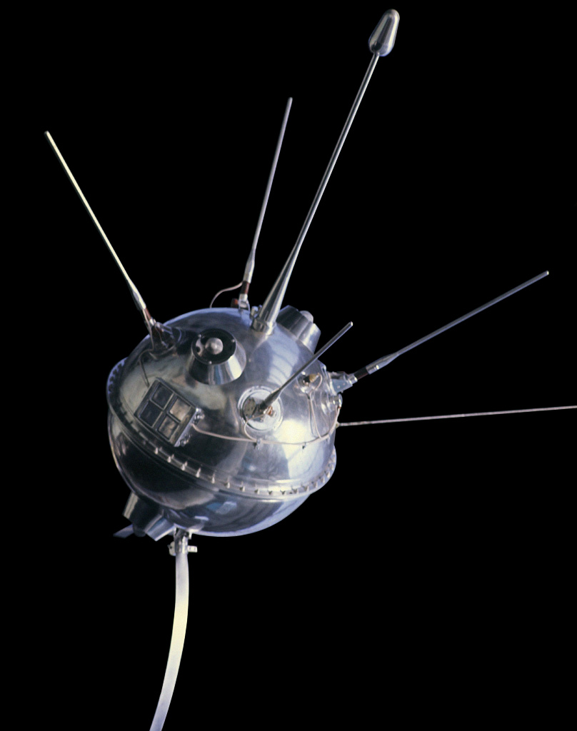
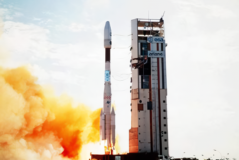
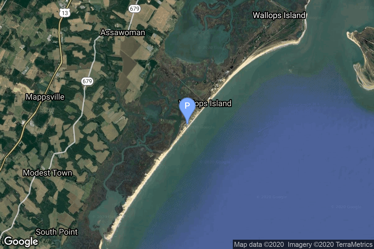
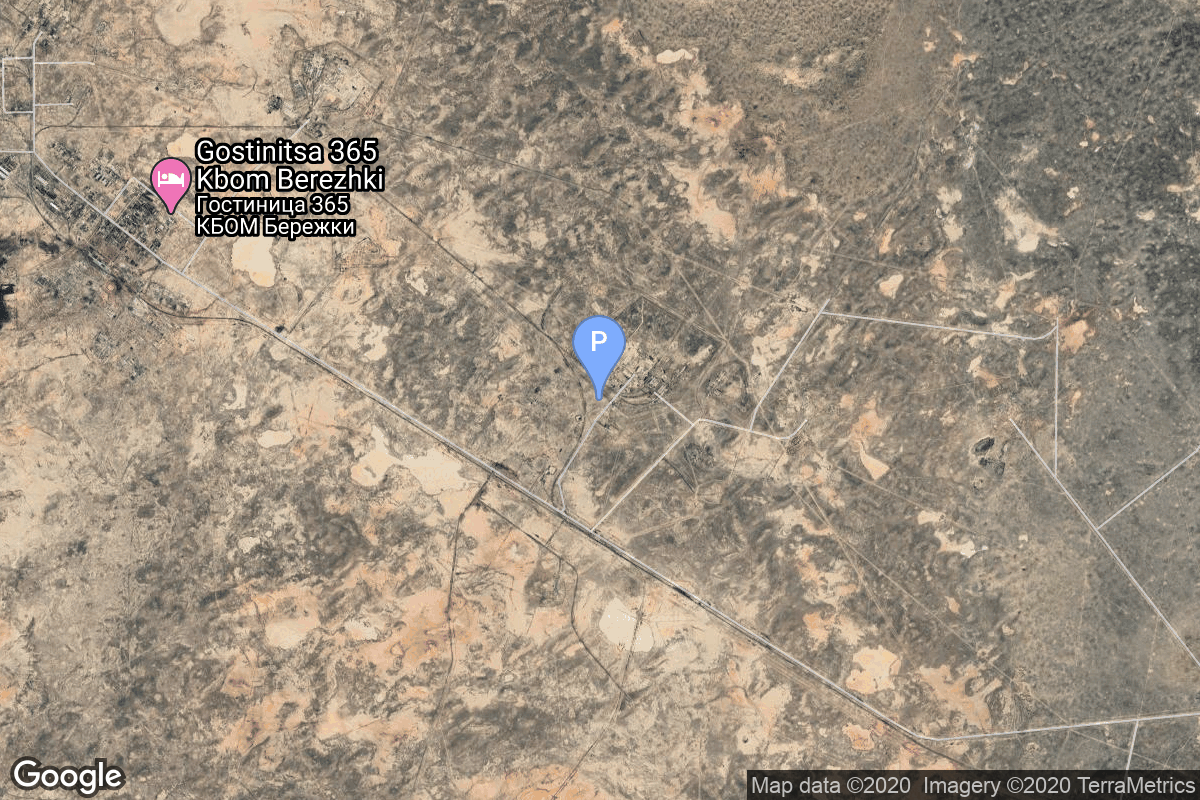
{ "count": 7505, "next": "https://ll.thespacedevs.com/2.2.0/launch/?format=api&limit=10&offset=580&ordering=id", "previous": "https://ll.thespacedevs.com/2.2.0/launch/?format=api&limit=10&offset=560&ordering=id", "results": [ { "id": "13fe0f8f-f242-472b-997f-577dcac87c22", "url": "https://ll.thespacedevs.com/2.2.0/launch/13fe0f8f-f242-472b-997f-577dcac87c22/?format=api", "slug": "molniya-m-luna-12", "name": "Molniya-M | Luna-12", "status": { "id": 3, "name": "Launch Successful", "abbrev": "Success", "description": "The launch vehicle successfully inserted its payload(s) into the target orbit(s)." }, "last_updated": "2023-06-14T03:41:32Z", "net": "1966-10-22T08:42:26Z", "window_end": "1966-10-22T08:42:26Z", "window_start": "1966-10-22T08:42:26Z", "net_precision": null, "probability": null, "weather_concerns": null, "holdreason": "", "failreason": null, "hashtag": null, "launch_service_provider": { "id": 66, "url": "https://ll.thespacedevs.com/2.2.0/agencies/66/?format=api", "name": "Soviet Space Program", "type": "Government" }, "rocket": { "id": 3583, "configuration": { "id": 106, "url": "https://ll.thespacedevs.com/2.2.0/config/launcher/106/?format=api", "name": "Molniya-M", "family": "R-7", "full_name": "Molniya-M 2BL", "variant": "2BL" } }, "mission": { "id": 2002, "name": "Luna-12", "description": "Lunar probe designed to orbit the Moon", "launch_designator": null, "type": "Lunar Exploration", "orbit": { "id": 11, "name": "Lunar Orbit", "abbrev": "LO" }, "agencies": [], "info_urls": [], "vid_urls": [] }, "pad": { "id": 20, "url": "https://ll.thespacedevs.com/2.2.0/pad/20/?format=api", "agency_id": null, "name": "31/6", "description": "", "info_url": null, "wiki_url": "https://en.wikipedia.org/wiki/Baikonur_Cosmodrome_Site_31", "map_url": "https://www.google.com/maps?q=45.996034,63.564003", "latitude": "45.996034", "longitude": "63.564003", "location": { "id": 15, "url": "https://ll.thespacedevs.com/2.2.0/location/15/?format=api", "name": "Baikonur Cosmodrome, Republic of Kazakhstan", "country_code": "KAZ", "description": "The Baikonur Cosmodrome is a spaceport operated by Russia within Kazakhstan. Located in the Kazakh city of Baikonur, it is the largest operational space launch facility in terms of area. All Russian crewed spaceflights are launched from Baikonur.", "map_image": "https://thespacedevs-prod.nyc3.digitaloceanspaces.com/media/map_images/location_15_20200803142517.jpg", "timezone_name": "Asia/Qyzylorda", "total_launch_count": 1555, "total_landing_count": 0 }, "country_code": "KAZ", "map_image": "https://thespacedevs-prod.nyc3.digitaloceanspaces.com/media/map_images/pad_20_20200803143516.jpg", "total_launch_count": 422, "orbital_launch_attempt_count": 422 }, "webcast_live": false, "image": null, "infographic": null, "program": [ { "id": 38, "url": "https://ll.thespacedevs.com/2.2.0/program/38/?format=api", "name": "Luna", "description": "The Luna program was a series of robotic spacecraft missions sent to the Moon by the Soviet Union between 1959 and 1976. The program accomplished many firsts in space exploration, including first flyby of the Moon, first impact of the Moon and first photos of the far side of the Moon. Each mission was designed as either an orbiter or lander. They also performed many experiments, studying the Moon's chemical composition, gravity, temperature, and radiation.", "agencies": [ { "id": 66, "url": "https://ll.thespacedevs.com/2.2.0/agencies/66/?format=api", "name": "Soviet Space Program", "type": "Government" } ], "image_url": "https://thespacedevs-prod.nyc3.digitaloceanspaces.com/media/images/luna_1_impactor_image_20240813082956.jpg", "start_date": "1958-09-23T07:40:23Z", "end_date": "1976-08-22T17:55:00Z", "info_url": null, "wiki_url": "https://en.wikipedia.org/wiki/Luna_programme", "mission_patches": [], "type": { "id": 5, "name": "Exploration" } } ], "orbital_launch_attempt_count": 621, "location_launch_attempt_count": 159, "pad_launch_attempt_count": 60, "agency_launch_attempt_count": 204, "orbital_launch_attempt_count_year": 104, "location_launch_attempt_count_year": 31, "pad_launch_attempt_count_year": 24, "agency_launch_attempt_count_year": 42, "type": "normal" }, { "id": "14014cb5-a328-42f6-b355-d67105be6e17", "url": "https://ll.thespacedevs.com/2.2.0/launch/14014cb5-a328-42f6-b355-d67105be6e17/?format=api", "slug": "ariane-44lp-telstar-7", "name": "Ariane 44LP | Telstar 7", "status": { "id": 3, "name": "Launch Successful", "abbrev": "Success", "description": "The launch vehicle successfully inserted its payload(s) into the target orbit(s)." }, "last_updated": "2023-06-14T04:22:16Z", "net": "1999-09-25T06:29:00Z", "window_end": "1999-09-25T06:29:00Z", "window_start": "1999-09-25T06:29:00Z", "net_precision": null, "probability": null, "weather_concerns": null, "holdreason": "", "failreason": null, "hashtag": null, "launch_service_provider": { "id": 115, "url": "https://ll.thespacedevs.com/2.2.0/agencies/115/?format=api", "name": "Arianespace", "type": "Commercial" }, "rocket": { "id": 6943, "configuration": { "id": 226, "url": "https://ll.thespacedevs.com/2.2.0/config/launcher/226/?format=api", "name": "Ariane 44LP", "family": "Ariane", "full_name": "Ariane 44LP", "variant": "44LP" } }, "mission": { "id": 5333, "name": "Telstar 7", "description": "American communications satellite", "launch_designator": null, "type": "Communications", "orbit": { "id": 1, "name": "Geostationary Orbit", "abbrev": "Direct-GEO" }, "agencies": [], "info_urls": [], "vid_urls": [] }, "pad": { "id": 124, "url": "https://ll.thespacedevs.com/2.2.0/pad/124/?format=api", "agency_id": 115, "name": "Ariane Launch Area 2", "description": "The ELA-2 pad, built in 1986, had been used for Ariane 4 launches from 1988 until 2003. Before 1988, although purpose-built for Ariane 4, the pad hosted an Ariane-2 and two Ariane-3 launches.", "info_url": null, "wiki_url": "https://en.wikipedia.org/wiki/ELA-2", "map_url": "https://www.google.com/maps?q=5.232,-52.778194", "latitude": "5.232", "longitude": "-52.778194", "location": { "id": 13, "url": "https://ll.thespacedevs.com/2.2.0/location/13/?format=api", "name": "Guiana Space Centre, French Guiana", "country_code": "GUF", "description": "The Guiana Space Centre is a European spaceport to the northwest of Kourou in French Guiana, a region of France in South America. Kourou is located at a latitude of 5°. In operation since 1968, it is a suitable location for a spaceport because of its equatorial location and open sea to the east.", "map_image": "https://thespacedevs-prod.nyc3.digitaloceanspaces.com/media/map_images/location_13_20200803142412.jpg", "timezone_name": "America/Cayenne", "total_launch_count": 325, "total_landing_count": 0 }, "country_code": "GUF", "map_image": "https://thespacedevs-prod.nyc3.digitaloceanspaces.com/media/map_images/pad_124_20200803143241.jpg", "total_launch_count": 119, "orbital_launch_attempt_count": 119 }, "webcast_live": false, "image": "https://thespacedevs-prod.nyc3.digitaloceanspaces.com/media/images/ariane_44lp_at__image_20240401083402.png", "infographic": null, "program": [], "orbital_launch_attempt_count": 4343, "location_launch_attempt_count": 129, "pad_launch_attempt_count": 92, "agency_launch_attempt_count": 117, "orbital_launch_attempt_count_year": 54, "location_launch_attempt_count_year": 5, "pad_launch_attempt_count_year": 5, "agency_launch_attempt_count_year": 5, "type": "normal" }, { "id": "140dd3f9-da40-4558-878f-a84246d76151", "url": "https://ll.thespacedevs.com/2.2.0/launch/140dd3f9-da40-4558-878f-a84246d76151/?format=api", "slug": "electron-6x-hawkeye-360", "name": "Electron | 6x HawkEye 360", "status": { "id": 2, "name": "To Be Determined", "abbrev": "TBD", "description": "Current date is a placeholder or rough estimation based on unreliable or interpreted sources." }, "last_updated": "2025-04-01T08:12:33Z", "net": "2025-06-30T00:00:00Z", "window_end": "2025-06-30T00:00:00Z", "window_start": "2025-06-30T00:00:00Z", "net_precision": { "id": 7, "name": "Month", "abbrev": "M", "description": "The T-0 is expected in the given month." }, "probability": null, "weather_concerns": null, "holdreason": "", "failreason": "", "hashtag": null, "launch_service_provider": { "id": 147, "url": "https://ll.thespacedevs.com/2.2.0/agencies/147/?format=api", "name": "Rocket Lab", "type": "Commercial" }, "rocket": { "id": 7566, "configuration": { "id": 26, "url": "https://ll.thespacedevs.com/2.2.0/config/launcher/26/?format=api", "name": "Electron", "family": "", "full_name": "Electron", "variant": "" } }, "mission": { "id": 6493, "name": "6x HawkEye 360", "description": "HawkEye 360 is a a space-based civil global intelligence satellite network using radio frequency (RF) technology to help monitor transportation across air, land and sea and assist with emergencies, and to provide civil SIGINT (Signal Intelligence) mission.\r\n\r\nThe constellation of small satellites (named Hawk ) will collect information on specific radio signals worldwide to provide high-precision radio frequency mapping and analytics from Low Earth orbit (LEO).", "launch_designator": null, "type": "Earth Science", "orbit": { "id": 8, "name": "Low Earth Orbit", "abbrev": "LEO" }, "agencies": [ { "id": 1061, "url": "https://ll.thespacedevs.com/2.2.0/agencies/1061/?format=api", "name": "HawkEye 360", "featured": false, "type": "Private", "country_code": "USA", "abbrev": "he360", "description": "HawkEye 360 is an American geospatial analytics company headquartered in Herndon, Virginia. It is a commercial seller of radio frequency signal location data gathered by a satellite constellation.", "administrator": "CEO: John Serafini", "founding_year": "2015", "launchers": "", "spacecraft": "HawkEye 360", "launch_library_url": null, "total_launch_count": 0, "consecutive_successful_launches": 0, "successful_launches": 0, "failed_launches": 0, "pending_launches": 0, "consecutive_successful_landings": 0, "successful_landings": 0, "failed_landings": 0, "attempted_landings": 0, "info_url": "https://www.he360.com/", "wiki_url": "https://en.wikipedia.org/wiki/HawkEye_360", "logo_url": "https://thespacedevs-prod.nyc3.digitaloceanspaces.com/media/images/hawkeye2520360_logo_20230807090248.png", "image_url": null, "nation_url": "https://thespacedevs-prod.nyc3.digitaloceanspaces.com/media/images/hawkeye2520360_nation_20230807090249.jpg" } ], "info_urls": [], "vid_urls": [] }, "pad": { "id": 79, "url": "https://ll.thespacedevs.com/2.2.0/pad/79/?format=api", "agency_id": 147, "name": "Rocket Lab Launch Complex 2 (Launch Area 0 C)", "description": "", "info_url": null, "wiki_url": null, "map_url": "https://www.google.com/maps?q=37.833262,-75.488235", "latitude": "37.833262", "longitude": "-75.488235", "location": { "id": 21, "url": "https://ll.thespacedevs.com/2.2.0/location/21/?format=api", "name": "Wallops Flight Facility, Virginia, USA", "country_code": "USA", "description": "Wallops Flight Facility is a rocket launch site on Wallops Island on the Eastern Shore of Virginia, United States, just east of the Delmarva Peninsula and north-northeast of Norfolk. The facility is operated by the Goddard Space Flight Center in Greenbelt, Maryland, and primarily serves to support science and exploration missions for NASA and other federal agencies. WFF includes an extensively instrumented range to support launches of more than a dozen types of sounding rockets; small expendable suborbital and orbital rockets; high-altitude balloon flights carrying scientific instruments for atmospheric and astronomical research; and, using its Research Airport, flight tests of aeronautical research aircraft, including uncrewed aerial vehicles.", "map_image": "https://thespacedevs-prod.nyc3.digitaloceanspaces.com/media/map_images/location_21_20200803142423.jpg", "timezone_name": "America/New_York", "total_launch_count": 80, "total_landing_count": 0 }, "country_code": "USA", "map_image": "https://thespacedevs-prod.nyc3.digitaloceanspaces.com/media/map_images/pad_79_20200803143607.jpg", "total_launch_count": 6, "orbital_launch_attempt_count": 3 }, "webcast_live": false, "image": "https://thespacedevs-prod.nyc3.digitaloceanspaces.com/media/images/electron_image_20190705175640.jpeg", "infographic": null, "program": [], "orbital_launch_attempt_count": 6987, "location_launch_attempt_count": 82, "pad_launch_attempt_count": 8, "agency_launch_attempt_count": 68, "orbital_launch_attempt_count_year": 138, "location_launch_attempt_count_year": 2, "pad_launch_attempt_count_year": 2, "agency_launch_attempt_count_year": 10, "type": "normal" }, { "id": "141120bb-43c9-4645-bf87-b7fe475b03e6", "url": "https://ll.thespacedevs.com/2.2.0/launch/141120bb-43c9-4645-bf87-b7fe475b03e6/?format=api", "slug": "molniya-m-molniya-1k-48", "name": "Molniya-M | Molniya-1K 48", "status": { "id": 3, "name": "Launch Successful", "abbrev": "Success", "description": "The launch vehicle successfully inserted its payload(s) into the target orbit(s)." }, "last_updated": "2023-06-14T04:29:02Z", "net": "1980-11-16T04:18:00Z", "window_end": "1980-11-16T04:18:00Z", "window_start": "1980-11-16T04:18:00Z", "net_precision": null, "probability": null, "weather_concerns": null, "holdreason": "", "failreason": null, "hashtag": null, "launch_service_provider": { "id": 66, "url": "https://ll.thespacedevs.com/2.2.0/agencies/66/?format=api", "name": "Soviet Space Program", "type": "Government" }, "rocket": { "id": 5221, "configuration": { "id": 106, "url": "https://ll.thespacedevs.com/2.2.0/config/launcher/106/?format=api", "name": "Molniya-M", "family": "R-7", "full_name": "Molniya-M 2BL", "variant": "2BL" } }, "mission": { "id": 3631, "name": "Molniya-1K 48", "description": "Military communications satellite in a highly elliptic orbit", "launch_designator": null, "type": "Government/Top Secret", "orbit": { "id": 0, "name": "Elliptical Orbit", "abbrev": "Elliptical" }, "agencies": [], "info_urls": [], "vid_urls": [] }, "pad": { "id": 168, "url": "https://ll.thespacedevs.com/2.2.0/pad/168/?format=api", "agency_id": null, "name": "41/1", "description": null, "info_url": null, "wiki_url": "https://en.wikipedia.org/wiki/Plesetsk_Cosmodrome", "map_url": "https://www.google.com/maps?q=62.941,40.526806", "latitude": "62.941", "longitude": "40.526806", "location": { "id": 6, "url": "https://ll.thespacedevs.com/2.2.0/location/6/?format=api", "name": "Plesetsk Cosmodrome, Russian Federation", "country_code": "RUS", "description": "Plesetsk Cosmodrome is a Russian spaceport located in Mirny, Arkhangelsk Oblast, about 800 km north of Moscow and approximately 200 km south of Arkhangelsk. Originally developed as an ICBM site for the R-7 missile, it also served for numerous satellite launches using the R-7 and other rockets. Its high latitude makes it useful only for certain types of launches, especially the Molniya orbits, so for much of the site's history it functioned as a secondary location, with most orbital launches taking place from Baikonur, in the Kazakh SSR. With the end of the Soviet Union, Baikonur became a foreign territory, and Kazakhstan charged $115 million usage fees annually. Consequently, Plesetsk has seen considerably more activity since the 2000s.", "map_image": "https://thespacedevs-prod.nyc3.digitaloceanspaces.com/media/map_images/location_6_20200803142434.jpg", "timezone_name": "Europe/Moscow", "total_launch_count": 1674, "total_landing_count": 0 }, "country_code": "RUS", "map_image": "https://thespacedevs-prod.nyc3.digitaloceanspaces.com/media/map_images/pad_168_20200803143446.jpg", "total_launch_count": 310, "orbital_launch_attempt_count": 310 }, "webcast_live": false, "image": null, "infographic": null, "program": [], "orbital_launch_attempt_count": 2377, "location_launch_attempt_count": 779, "pad_launch_attempt_count": 192, "agency_launch_attempt_count": 1440, "orbital_launch_attempt_count_year": 94, "location_launch_attempt_count_year": 56, "pad_launch_attempt_count_year": 24, "agency_launch_attempt_count_year": 78, "type": "normal" }, { "id": "1412ecd5-9641-4303-87ec-ae4164b5957b", "url": "https://ll.thespacedevs.com/2.2.0/launch/1412ecd5-9641-4303-87ec-ae4164b5957b/?format=api", "slug": "proton-uragan-14-to-16", "name": "Proton | Uragan 14 to 16", "status": { "id": 3, "name": "Launch Successful", "abbrev": "Success", "description": "The launch vehicle successfully inserted its payload(s) into the target orbit(s)." }, "last_updated": "2023-06-14T04:23:49Z", "net": "1986-09-16T11:38:09Z", "window_end": "1986-09-16T11:38:09Z", "window_start": "1986-09-16T11:38:09Z", "net_precision": null, "probability": null, "weather_concerns": null, "holdreason": "", "failreason": null, "hashtag": null, "launch_service_provider": { "id": 66, "url": "https://ll.thespacedevs.com/2.2.0/agencies/66/?format=api", "name": "Soviet Space Program", "type": "Government" }, "rocket": { "id": 5891, "configuration": { "id": 80, "url": "https://ll.thespacedevs.com/2.2.0/config/launcher/80/?format=api", "name": "Proton", "family": "Proton / UR-500", "full_name": "Proton K/DM-2", "variant": "K/DM-2" } }, "mission": { "id": 4287, "name": "Uragan 14 to 16", "description": "GLONASS navigation satellites", "launch_designator": null, "type": "Navigation", "orbit": { "id": 12, "name": "Medium Earth Orbit", "abbrev": "MEO" }, "agencies": [], "info_urls": [], "vid_urls": [] }, "pad": { "id": 130, "url": "https://ll.thespacedevs.com/2.2.0/pad/130/?format=api", "agency_id": null, "name": "200/40", "description": null, "info_url": null, "wiki_url": "https://en.wikipedia.org/wiki/Baikonur_Cosmodrome_Site_200", "map_url": "https://www.google.com/maps?q=46.0336111,63.0266949", "latitude": "46.0336111", "longitude": "63.0266949", "location": { "id": 15, "url": "https://ll.thespacedevs.com/2.2.0/location/15/?format=api", "name": "Baikonur Cosmodrome, Republic of Kazakhstan", "country_code": "KAZ", "description": "The Baikonur Cosmodrome is a spaceport operated by Russia within Kazakhstan. Located in the Kazakh city of Baikonur, it is the largest operational space launch facility in terms of area. All Russian crewed spaceflights are launched from Baikonur.", "map_image": "https://thespacedevs-prod.nyc3.digitaloceanspaces.com/media/map_images/location_15_20200803142517.jpg", "timezone_name": "Asia/Qyzylorda", "total_launch_count": 1555, "total_landing_count": 0 }, "country_code": "KAZ", "map_image": "https://thespacedevs-prod.nyc3.digitaloceanspaces.com/media/map_images/pad_130_20200803143249.jpg", "total_launch_count": 64, "orbital_launch_attempt_count": 64 }, "webcast_live": false, "image": "https://thespacedevs-prod.nyc3.digitaloceanspaces.com/media/images/proton_image_20231231095535.jpg", "infographic": null, "program": [ { "id": 34, "url": "https://ll.thespacedevs.com/2.2.0/program/34/?format=api", "name": "GLONASS", "description": "GLONASS (ГЛОНАСС, IPA: [ɡɫɐˈnas]; Russian: Глобальная навигационная спутниковая система, tr. Global'naya Navigatsionnaya Sputnikovaya Sistema, lit. 'Global Navigation Satellite System') is a Russian satellite navigation system operating as part of a radionavigation-satellite service. It provides an alternative to Global Positioning System (GPS) and is the second navigational system in operation with global coverage and of comparable precision.", "agencies": [ { "id": 63, "url": "https://ll.thespacedevs.com/2.2.0/agencies/63/?format=api", "name": "Russian Federal Space Agency (ROSCOSMOS)", "type": "Government" } ], "image_url": "https://thespacedevs-prod.nyc3.digitaloceanspaces.com/media/images/glonass_program_20240102170258.png", "start_date": "1982-10-12T00:00:00Z", "end_date": null, "info_url": "https://www.glonass-iac.ru/en/", "wiki_url": "https://en.wikipedia.org/wiki/GLONASS", "mission_patches": [], "type": { "id": 4, "name": "Navigation Constellation" } } ], "orbital_launch_attempt_count": 3105, "location_launch_attempt_count": 790, "pad_launch_attempt_count": 41, "agency_launch_attempt_count": 2020, "orbital_launch_attempt_count_year": 76, "location_launch_attempt_count_year": 27, "pad_launch_attempt_count_year": 4, "agency_launch_attempt_count_year": 64, "type": "normal" }, { "id": "142d8090-eb8b-4c8e-8965-f75c8ced2bf5", "url": "https://ll.thespacedevs.com/2.2.0/launch/142d8090-eb8b-4c8e-8965-f75c8ced2bf5/?format=api", "slug": "ariane-42p-satcom-c1-gstar-4", "name": "Ariane 42P | Satcom C1 & GStar 4", "status": { "id": 3, "name": "Launch Successful", "abbrev": "Success", "description": "The launch vehicle successfully inserted its payload(s) into the target orbit(s)." }, "last_updated": "2023-06-14T04:22:20Z", "net": "1990-11-20T23:11:00Z", "window_end": "1990-11-20T23:11:00Z", "window_start": "1990-11-20T23:11:00Z", "net_precision": null, "probability": null, "weather_concerns": null, "holdreason": "", "failreason": null, "hashtag": null, "launch_service_provider": { "id": 115, "url": "https://ll.thespacedevs.com/2.2.0/agencies/115/?format=api", "name": "Arianespace", "type": "Commercial" }, "rocket": { "id": 6324, "configuration": { "id": 224, "url": "https://ll.thespacedevs.com/2.2.0/config/launcher/224/?format=api", "name": "Ariane 42P", "family": "Ariane", "full_name": "Ariane 42P", "variant": "42P" } }, "mission": { "id": 4714, "name": "Satcom C1 & GStar 4", "description": "Geostationary communications satellites", "launch_designator": null, "type": "Communications", "orbit": { "id": 1, "name": "Geostationary Orbit", "abbrev": "Direct-GEO" }, "agencies": [], "info_urls": [], "vid_urls": [] }, "pad": { "id": 124, "url": "https://ll.thespacedevs.com/2.2.0/pad/124/?format=api", "agency_id": 115, "name": "Ariane Launch Area 2", "description": "The ELA-2 pad, built in 1986, had been used for Ariane 4 launches from 1988 until 2003. Before 1988, although purpose-built for Ariane 4, the pad hosted an Ariane-2 and two Ariane-3 launches.", "info_url": null, "wiki_url": "https://en.wikipedia.org/wiki/ELA-2", "map_url": "https://www.google.com/maps?q=5.232,-52.778194", "latitude": "5.232", "longitude": "-52.778194", "location": { "id": 13, "url": "https://ll.thespacedevs.com/2.2.0/location/13/?format=api", "name": "Guiana Space Centre, French Guiana", "country_code": "GUF", "description": "The Guiana Space Centre is a European spaceport to the northwest of Kourou in French Guiana, a region of France in South America. Kourou is located at a latitude of 5°. In operation since 1968, it is a suitable location for a spaceport because of its equatorial location and open sea to the east.", "map_image": "https://thespacedevs-prod.nyc3.digitaloceanspaces.com/media/map_images/location_13_20200803142412.jpg", "timezone_name": "America/Cayenne", "total_launch_count": 325, "total_landing_count": 0 }, "country_code": "GUF", "map_image": "https://thespacedevs-prod.nyc3.digitaloceanspaces.com/media/map_images/pad_124_20200803143241.jpg", "total_launch_count": 119, "orbital_launch_attempt_count": 119 }, "webcast_live": false, "image": "https://thespacedevs-prod.nyc3.digitaloceanspaces.com/media/images/ariane42p_at_el_image_20240310184548.png", "infographic": null, "program": [], "orbital_launch_attempt_count": 3581, "location_launch_attempt_count": 49, "pad_launch_attempt_count": 15, "agency_launch_attempt_count": 39, "orbital_launch_attempt_count_year": 105, "location_launch_attempt_count_year": 6, "pad_launch_attempt_count_year": 6, "agency_launch_attempt_count_year": 6, "type": "normal" }, { "id": "14376b98-a668-41e5-ab0d-832babee5366", "url": "https://ll.thespacedevs.com/2.2.0/launch/14376b98-a668-41e5-ab0d-832babee5366/?format=api", "slug": "long-march-3-dfh-2-1", "name": "Long March 3 | DFH-2 1", "status": { "id": 7, "name": "Launch was a Partial Failure", "abbrev": "Partial Failure", "description": "Either the launch vehicle reached orbit but did not deliver its payload in the targeted orbit, or an exceptional event made it impossible to consider the mission a success." }, "last_updated": "2023-08-04T02:50:38Z", "net": "1984-01-29T12:25:00Z", "window_end": "1984-01-29T12:25:00Z", "window_start": "1984-01-29T12:25:00Z", "net_precision": null, "probability": null, "weather_concerns": null, "holdreason": "", "failreason": "Due to insufficient pressurization of the third stage during restart, the payload was inserted in a lower-than-planned orbit.", "hashtag": null, "launch_service_provider": { "id": 1036, "url": "https://ll.thespacedevs.com/2.2.0/agencies/1036/?format=api", "name": "Ministry of Space Industry", "type": "Government" }, "rocket": { "id": 5601, "configuration": { "id": 270, "url": "https://ll.thespacedevs.com/2.2.0/config/launcher/270/?format=api", "name": "Long March 3", "family": "Long March", "full_name": "Long March 3", "variant": "3" } }, "mission": { "id": 4004, "name": "DFH-2 1", "description": "Chinese geostationary communications satellite", "launch_designator": null, "type": "Communications", "orbit": { "id": 1, "name": "Geostationary Orbit", "abbrev": "Direct-GEO" }, "agencies": [], "info_urls": [], "vid_urls": [] }, "pad": { "id": 66, "url": "https://ll.thespacedevs.com/2.2.0/pad/66/?format=api", "agency_id": 17, "name": "Launch Complex 3 (LC-3/LA-1)", "description": "", "info_url": null, "wiki_url": "https://en.wikipedia.org/wiki/Xichang_Satellite_Launch_Center", "map_url": "https://www.google.com/maps?q=28.247209,102.02917", "latitude": "28.247209", "longitude": "102.02917", "location": { "id": 16, "url": "https://ll.thespacedevs.com/2.2.0/location/16/?format=api", "name": "Xichang Satellite Launch Center, People's Republic of China", "country_code": "CHN", "description": "The Xichang Satellite Launch Center is a spaceport in China. It is located in Zeyuan Town, northwest of Xichang, Liangshan Yi Autonomous Prefecture in Sichuan.", "map_image": "https://thespacedevs-prod.nyc3.digitaloceanspaces.com/media/map_images/location_16_20200803142513.jpg", "timezone_name": "Asia/Shanghai", "total_launch_count": 225, "total_landing_count": 0 }, "country_code": "CHN", "map_image": "https://thespacedevs-prod.nyc3.digitaloceanspaces.com/media/map_images/pad_66_20200803143611.jpg", "total_launch_count": 100, "orbital_launch_attempt_count": 100 }, "webcast_live": false, "image": null, "infographic": null, "program": [], "orbital_launch_attempt_count": 2783, "location_launch_attempt_count": 1, "pad_launch_attempt_count": 1, "agency_launch_attempt_count": 3, "orbital_launch_attempt_count_year": 8, "location_launch_attempt_count_year": 1, "pad_launch_attempt_count_year": 1, "agency_launch_attempt_count_year": 1, "type": "normal" }, { "id": "143904a9-06fb-4bc4-a4ad-2af2049a29d5", "url": "https://ll.thespacedevs.com/2.2.0/launch/143904a9-06fb-4bc4-a4ad-2af2049a29d5/?format=api", "slug": "proton-kdm-gorizont-3", "name": "Proton-K/DM | Gorizont 3", "status": { "id": 3, "name": "Launch Successful", "abbrev": "Success", "description": "The launch vehicle successfully inserted its payload(s) into the target orbit(s)." }, "last_updated": "2023-06-14T04:23:49Z", "net": "1979-12-28T11:51:00Z", "window_end": "1979-12-28T11:51:00Z", "window_start": "1979-12-28T11:51:00Z", "net_precision": null, "probability": null, "weather_concerns": null, "holdreason": "", "failreason": null, "hashtag": null, "launch_service_provider": { "id": 66, "url": "https://ll.thespacedevs.com/2.2.0/agencies/66/?format=api", "name": "Soviet Space Program", "type": "Government" }, "rocket": { "id": 5135, "configuration": { "id": 349, "url": "https://ll.thespacedevs.com/2.2.0/config/launcher/349/?format=api", "name": "Proton-K/DM", "family": "Proton / UR-500", "full_name": "Proton-K/DM", "variant": "DM" } }, "mission": { "id": 3546, "name": "Gorizont 3", "description": "Geostationary communications satellite", "launch_designator": null, "type": "Communications", "orbit": { "id": 1, "name": "Geostationary Orbit", "abbrev": "Direct-GEO" }, "agencies": [], "info_urls": [], "vid_urls": [] }, "pad": { "id": 130, "url": "https://ll.thespacedevs.com/2.2.0/pad/130/?format=api", "agency_id": null, "name": "200/40", "description": null, "info_url": null, "wiki_url": "https://en.wikipedia.org/wiki/Baikonur_Cosmodrome_Site_200", "map_url": "https://www.google.com/maps?q=46.0336111,63.0266949", "latitude": "46.0336111", "longitude": "63.0266949", "location": { "id": 15, "url": "https://ll.thespacedevs.com/2.2.0/location/15/?format=api", "name": "Baikonur Cosmodrome, Republic of Kazakhstan", "country_code": "KAZ", "description": "The Baikonur Cosmodrome is a spaceport operated by Russia within Kazakhstan. Located in the Kazakh city of Baikonur, it is the largest operational space launch facility in terms of area. All Russian crewed spaceflights are launched from Baikonur.", "map_image": "https://thespacedevs-prod.nyc3.digitaloceanspaces.com/media/map_images/location_15_20200803142517.jpg", "timezone_name": "Asia/Qyzylorda", "total_launch_count": 1555, "total_landing_count": 0 }, "country_code": "KAZ", "map_image": "https://thespacedevs-prod.nyc3.digitaloceanspaces.com/media/map_images/pad_130_20200803143249.jpg", "total_launch_count": 64, "orbital_launch_attempt_count": 64 }, "webcast_live": false, "image": "https://thespacedevs-prod.nyc3.digitaloceanspaces.com/media/images/proton_image_20231231095535.jpg", "infographic": null, "program": [], "orbital_launch_attempt_count": 2282, "location_launch_attempt_count": 554, "pad_launch_attempt_count": 12, "agency_launch_attempt_count": 1361, "orbital_launch_attempt_count_year": 109, "location_launch_attempt_count_year": 19, "pad_launch_attempt_count_year": 5, "agency_launch_attempt_count_year": 88, "type": "normal" }, { "id": "143b7f89-c64b-44ba-b8f3-f40ba8ad068c", "url": "https://ll.thespacedevs.com/2.2.0/launch/143b7f89-c64b-44ba-b8f3-f40ba8ad068c/?format=api", "slug": "falcon-9-block-5-iridium-7", "name": "Falcon 9 Block 5 | Iridium-7", "status": { "id": 3, "name": "Launch Successful", "abbrev": "Success", "description": "The launch vehicle successfully inserted its payload(s) into the target orbit(s)." }, "last_updated": "2023-12-29T19:05:32Z", "net": "2018-07-25T11:39:30Z", "window_end": "2018-07-25T11:39:30Z", "window_start": "2018-07-25T11:39:30Z", "net_precision": null, "probability": 90, "weather_concerns": null, "holdreason": "", "failreason": "", "hashtag": "#Iridium7", "launch_service_provider": { "id": 121, "url": "https://ll.thespacedevs.com/2.2.0/agencies/121/?format=api", "name": "SpaceX", "type": "Commercial" }, "rocket": { "id": 2119, "configuration": { "id": 164, "url": "https://ll.thespacedevs.com/2.2.0/config/launcher/164/?format=api", "name": "Falcon 9", "family": "Falcon", "full_name": "Falcon 9 Block 5", "variant": "Block 5" } }, "mission": { "id": 459, "name": "Iridium-7", "description": "SpaceX’s Falcon 9 rocket will deliver 10 satellites to low Earth orbit for Iridium, a global leader in mobile voice and data satellite communications. This is the seventh set of 10 satellites in a series of 75 total satellites that SpaceX will launch for Iridium’s next generation global satellite constellation, Iridium® NEXT.", "launch_designator": null, "type": "Communications", "orbit": { "id": 8, "name": "Low Earth Orbit", "abbrev": "LEO" }, "agencies": [], "info_urls": [], "vid_urls": [] }, "pad": { "id": 16, "url": "https://ll.thespacedevs.com/2.2.0/pad/16/?format=api", "agency_id": null, "name": "Space Launch Complex 4E", "description": "Space Launch Complex 4 East (SLC-4E) is a launch site at Vandenberg Space Force Base, California, U.S.\r\n\r\nThe pad was previously used by Atlas and Titan rockets between 1963 and 2005. The pad was built for use by Atlas-Agena rockets, but was later rebuilt to handle Titan rockets.", "info_url": null, "wiki_url": "https://en.wikipedia.org/wiki/Vandenberg_Space_Launch_Complex_4#SLC-4E", "map_url": "https://www.google.com/maps?q=34.632,-120.611", "latitude": "34.632", "longitude": "-120.611", "location": { "id": 11, "url": "https://ll.thespacedevs.com/2.2.0/location/11/?format=api", "name": "Vandenberg SFB, CA, USA", "country_code": "USA", "description": "Vandenberg Space Force Base is a United States Space Force Base in Santa Barbara County, California. Established in 1941, Vandenberg Space Force Base is a space launch base, launching spacecraft from the Western Range, and also performs missile testing. The United States Space Force's Space Launch Delta 30 serves as the host delta for the base, equivalent to an Air Force air base wing. In addition to its military space launch mission, Vandenberg Space Force Base also hosts space launches for civil and commercial space entities, such as NASA and SpaceX.", "map_image": "https://thespacedevs-prod.nyc3.digitaloceanspaces.com/media/map_images/location_11_20200803142416.jpg", "timezone_name": "America/Los_Angeles", "total_launch_count": 807, "total_landing_count": 26 }, "country_code": "USA", "map_image": "https://thespacedevs-prod.nyc3.digitaloceanspaces.com/media/map_images/pad_16_20200803143532.jpg", "total_launch_count": 193, "orbital_launch_attempt_count": 193 }, "webcast_live": false, "image": "https://thespacedevs-prod.nyc3.digitaloceanspaces.com/media/images/falcon_9_image_20230807133459.jpeg", "infographic": null, "program": [ { "id": 28, "url": "https://ll.thespacedevs.com/2.2.0/program/28/?format=api", "name": "Iridium Constellation", "description": "The Iridium satellite constellation provides L band voice and data information coverage to satellite phones, satellite messenger communication devices and integrated transceivers.", "agencies": [ { "id": 202, "url": "https://ll.thespacedevs.com/2.2.0/agencies/202/?format=api", "name": "Iridium Communications", "type": "Commercial" } ], "image_url": "https://thespacedevs-prod.nyc3.digitaloceanspaces.com/media/images/iridium2520con_program_20231228184831.jpeg", "start_date": "1997-05-05T00:00:00Z", "end_date": null, "info_url": "https://iridium.com/", "wiki_url": "https://en.wikipedia.org/wiki/Iridium_satellite_constellation", "mission_patches": [], "type": { "id": 3, "name": "Communication Constellation" } } ], "orbital_launch_attempt_count": 5767, "location_launch_attempt_count": 680, "pad_launch_attempt_count": 79, "agency_launch_attempt_count": 66, "orbital_launch_attempt_count_year": 61, "location_launch_attempt_count_year": 6, "pad_launch_attempt_count_year": 4, "agency_launch_attempt_count_year": 14, "type": "normal" }, { "id": "143e3967-37ab-4b75-9868-a43eabd7438e", "url": "https://ll.thespacedevs.com/2.2.0/launch/143e3967-37ab-4b75-9868-a43eabd7438e/?format=api", "slug": "titan-402a-ius-dsp-15", "name": "Titan 402A IUS | DSP 15", "status": { "id": 3, "name": "Launch Successful", "abbrev": "Success", "description": "The launch vehicle successfully inserted its payload(s) into the target orbit(s)." }, "last_updated": "2023-06-14T17:42:27Z", "net": "1990-11-13T00:37:02Z", "window_end": "1990-11-13T00:37:02Z", "window_start": "1990-11-13T00:37:02Z", "net_precision": null, "probability": null, "weather_concerns": null, "holdreason": "", "failreason": null, "hashtag": null, "launch_service_provider": { "id": 161, "url": "https://ll.thespacedevs.com/2.2.0/agencies/161/?format=api", "name": "United States Air Force", "type": "Government" }, "rocket": { "id": 6320, "configuration": { "id": 428, "url": "https://ll.thespacedevs.com/2.2.0/config/launcher/428/?format=api", "name": "Titan 402A IUS", "family": "Titan", "full_name": "Titan 402A IUS", "variant": "402A IUS" } }, "mission": { "id": 4710, "name": "DSP 15", "description": "Early warning satellite", "launch_designator": null, "type": "Government/Top Secret", "orbit": { "id": 1, "name": "Geostationary Orbit", "abbrev": "Direct-GEO" }, "agencies": [], "info_urls": [], "vid_urls": [] }, "pad": { "id": 29, "url": "https://ll.thespacedevs.com/2.2.0/pad/29/?format=api", "agency_id": null, "name": "Space Launch Complex 41", "description": "", "info_url": null, "wiki_url": "https://en.wikipedia.org/wiki/Cape_Canaveral_Air_Force_Station_Space_Launch_Complex_41", "map_url": "https://www.google.com/maps?q=28.58341025,-80.58303644", "latitude": "28.58341025", "longitude": "-80.58303644", "location": { "id": 12, "url": "https://ll.thespacedevs.com/2.2.0/location/12/?format=api", "name": "Cape Canaveral SFS, FL, USA", "country_code": "USA", "description": "Cape Canaveral Space Force Station (CCSFS) is an installation of the United States Space Force's Space Launch Delta 45, located on Cape Canaveral in Brevard County, Florida.", "map_image": "https://thespacedevs-prod.nyc3.digitaloceanspaces.com/media/map_images/location_12_20200803142519.jpg", "timezone_name": "America/New_York", "total_launch_count": 1024, "total_landing_count": 64 }, "country_code": "USA", "map_image": "https://thespacedevs-prod.nyc3.digitaloceanspaces.com/media/map_images/pad_29_20200803143528.jpg", "total_launch_count": 115, "orbital_launch_attempt_count": 115 }, "webcast_live": false, "image": null, "infographic": null, "program": [], "orbital_launch_attempt_count": 3576, "location_launch_attempt_count": 441, "pad_launch_attempt_count": 20, "agency_launch_attempt_count": 890, "orbital_launch_attempt_count_year": 100, "location_launch_attempt_count_year": 16, "pad_launch_attempt_count_year": 2, "agency_launch_attempt_count_year": 14, "type": "normal" } ] }