Launch List
AN API endpoint that returns all Launch objects or a single launch.
EXAMPLE - /launch/[id]/ or /launch/?mode=list&search=SpaceX
GET Return a list of all Launch objects.
FILTERS Fields - 'name', 'id(s)', 'lsp__id', 'lsp__name', 'serial_number', 'launcher_config__id', 'rocket__spacecraftflight__spacecraft__name', 'is_crewed', 'include_suborbital', 'spacecraft_config__ids', 'related', 'location__ids', 'lsp__ids', 'pad__ids', 'status__ids'
MODE 'normal', 'list', 'detailed'
EXAMPLE ?mode=list
SEARCH Searches through the launch name, rocket name, launch agency, mission name & spacecraft name.
EXAMPLE - ?search=SpaceX
GET /2.2.0/launch/?format=api&offset=4240&ordering=net
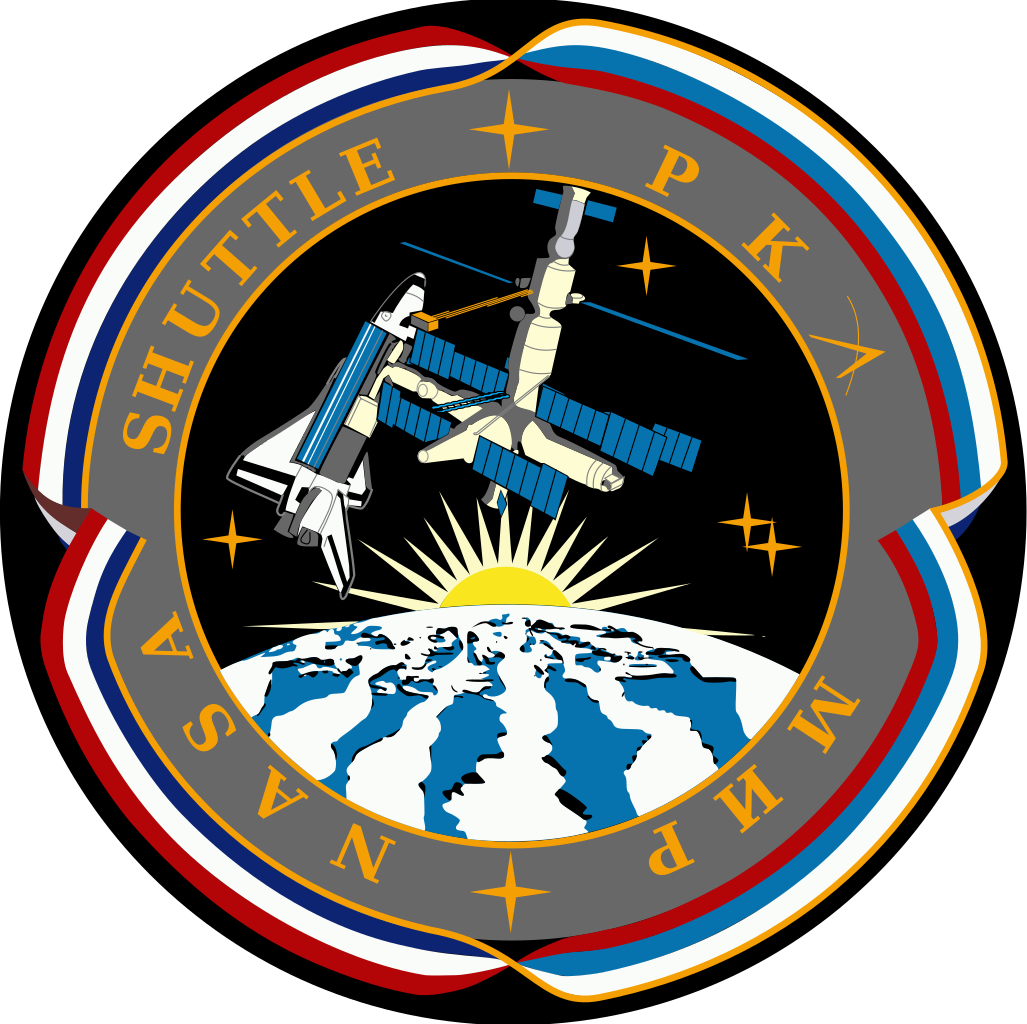
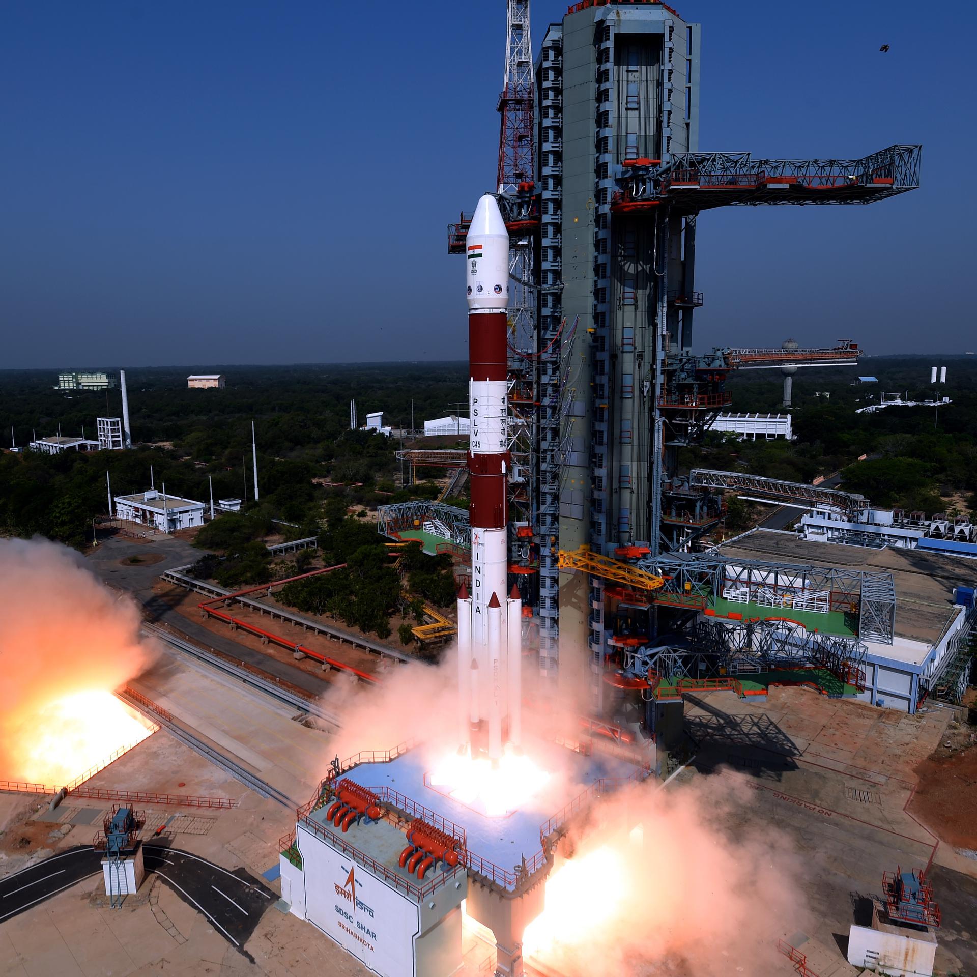
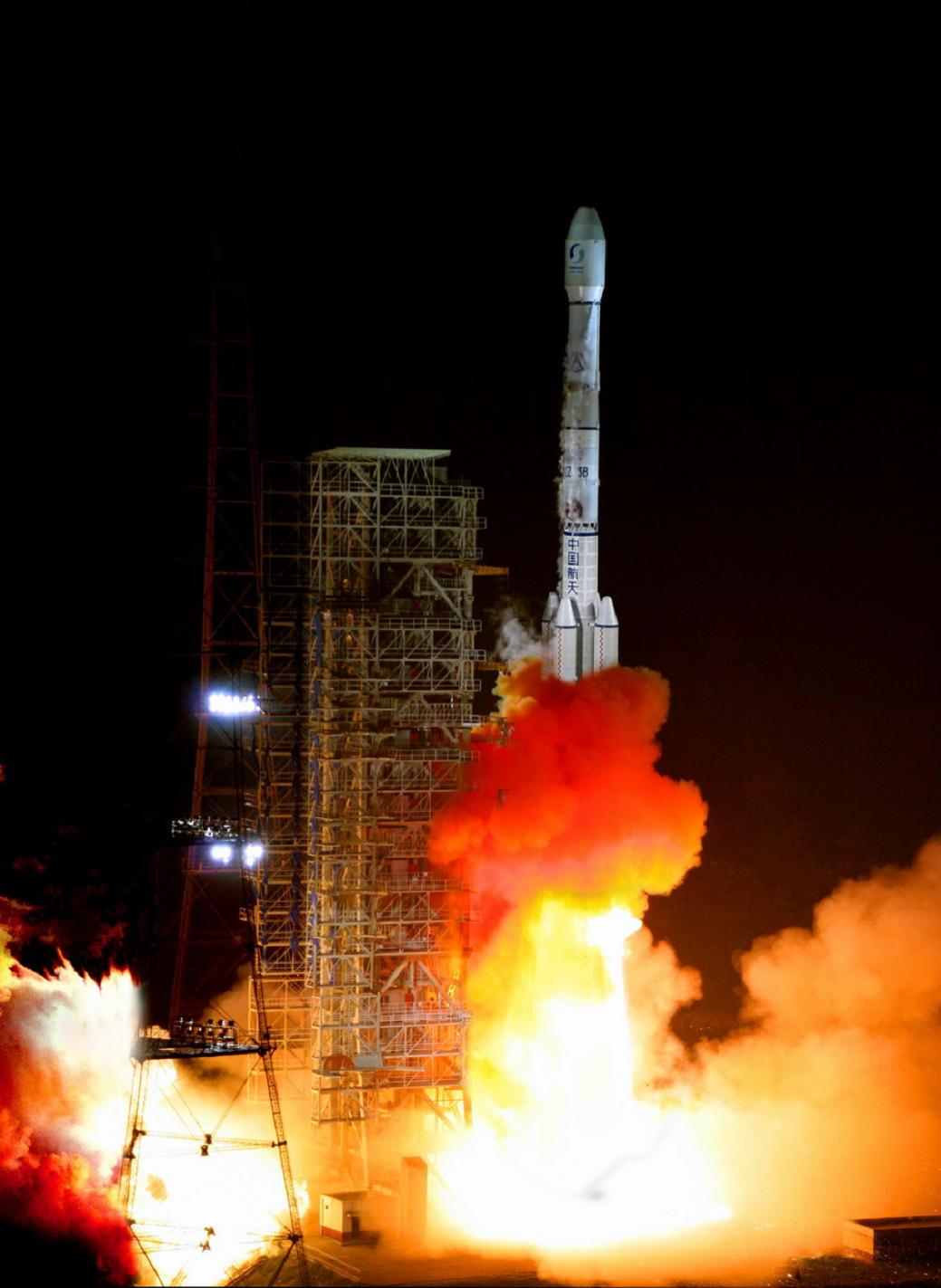
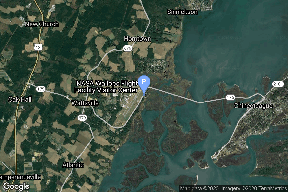
{ "count": 7930, "next": "https://ll.thespacedevs.com/2.2.0/launch/?format=api&limit=10&offset=4250&ordering=net", "previous": "https://ll.thespacedevs.com/2.2.0/launch/?format=api&limit=10&offset=4230&ordering=net", "results": [ { "id": "aedbc895-3441-4e69-a953-971cb8a54f56", "url": "https://ll.thespacedevs.com/2.2.0/launch/aedbc895-3441-4e69-a953-971cb8a54f56/?format=api", "slug": "space-shuttle-atlantis-ov-104-sts-86", "name": "Space Shuttle Atlantis / OV-104 | STS-86", "status": { "id": 3, "name": "Launch Successful", "abbrev": "Success", "description": "The launch vehicle successfully inserted its payload(s) into the target orbit(s)." }, "last_updated": "2023-06-14T08:50:08Z", "net": "1997-09-26T02:34:19Z", "window_end": "1997-09-26T02:34:19Z", "window_start": "1997-09-26T02:34:19Z", "net_precision": null, "probability": null, "weather_concerns": null, "holdreason": "", "failreason": null, "hashtag": null, "launch_service_provider": { "id": 191, "url": "https://ll.thespacedevs.com/2.2.0/agencies/191/?format=api", "name": "United Space Alliance", "type": "Commercial" }, "rocket": { "id": 422, "configuration": { "id": 493, "url": "https://ll.thespacedevs.com/2.2.0/config/launcher/493/?format=api", "name": "Space Shuttle", "family": "", "full_name": "Space Shuttle", "variant": "" } }, "mission": { "id": 825, "name": "STS-86", "description": "STS-86 was a Space Shuttle Atlantis mission to the Mir space station. This was the last Atlantis mission before it was taken out of service temporarily for maintenance and upgrades, including the glass cockpit.", "launch_designator": null, "type": "Human Exploration", "orbit": { "id": 8, "name": "Low Earth Orbit", "abbrev": "LEO" }, "agencies": [], "info_urls": [], "vid_urls": [] }, "pad": { "id": 87, "url": "https://ll.thespacedevs.com/2.2.0/pad/87/?format=api", "agency_id": 121, "name": "Launch Complex 39A", "description": "", "info_url": null, "wiki_url": "https://en.wikipedia.org/wiki/Kennedy_Space_Center_Launch_Complex_39#Launch_Pad_39A", "map_url": "https://www.google.com/maps?q=28.60822681,-80.60428186", "latitude": "28.60822681", "longitude": "-80.60428186", "location": { "id": 27, "url": "https://ll.thespacedevs.com/2.2.0/location/27/?format=api", "name": "Kennedy Space Center, FL, USA", "country_code": "USA", "description": "The John F. Kennedy Space Center, located on Merritt Island, Florida, is one of NASA's ten field centers. Since 1968, KSC has been NASA's primary launch center of American spaceflight, research, and technology. Launch operations for the Apollo, Skylab and Space Shuttle programs were carried out from Kennedy Space Center Launch Complex 39 and managed by KSC. Located on the east coast of Florida, KSC is adjacent to Cape Canaveral Space Force Station (CCSFS).", "map_image": "https://thespacedevs-prod.nyc3.digitaloceanspaces.com/media/map_images/location_27_20200803142447.jpg", "timezone_name": "America/New_York", "total_launch_count": 281, "total_landing_count": 0 }, "country_code": "USA", "map_image": "https://thespacedevs-prod.nyc3.digitaloceanspaces.com/media/map_images/pad_87_20200803143537.jpg", "total_launch_count": 222, "orbital_launch_attempt_count": 221 }, "webcast_live": false, "image": "https://thespacedevs-prod.nyc3.digitaloceanspaces.com/media/images/space_shuttle_image_20230422074810.jpeg", "infographic": null, "program": [ { "id": 16, "url": "https://ll.thespacedevs.com/2.2.0/program/16/?format=api", "name": "Mir", "description": "Mir was a space station that operated in low Earth orbit from 1986 to 2001, operated by the Soviet Union and later by Russia. Mir was the first modular space station and was assembled in orbit from 1986 to 1996.", "agencies": [ { "id": 63, "url": "https://ll.thespacedevs.com/2.2.0/agencies/63/?format=api", "name": "Russian Federal Space Agency (ROSCOSMOS)", "type": "Government" }, { "id": 66, "url": "https://ll.thespacedevs.com/2.2.0/agencies/66/?format=api", "name": "Soviet Space Program", "type": "Government" } ], "image_url": "https://thespacedevs-prod.nyc3.digitaloceanspaces.com/media/images/mir_program_20200821092345.jpeg", "start_date": "1986-02-20T21:28:23Z", "end_date": "2001-03-23T05:59:00Z", "info_url": null, "wiki_url": "https://en.wikipedia.org/wiki/Mir", "mission_patches": [], "type": { "id": 2, "name": "Human Spaceflight" } }, { "id": 6, "url": "https://ll.thespacedevs.com/2.2.0/program/6/?format=api", "name": "Space Shuttle", "description": "The Space Shuttle program was the fourth human spaceflight program carried out by the National Aeronautics and Space Administration (NASA), which accomplished routine transportation for Earth-to-orbit crew and cargo from 1981 to 2011.", "agencies": [ { "id": 44, "url": "https://ll.thespacedevs.com/2.2.0/agencies/44/?format=api", "name": "National Aeronautics and Space Administration", "type": "Government" } ], "image_url": "https://thespacedevs-prod.nyc3.digitaloceanspaces.com/media/images/space2520shutt_program_20200820202237.png", "start_date": "1981-04-12T12:00:03Z", "end_date": "2011-07-08T15:29:00Z", "info_url": "https://www.nasa.gov/mission_pages/shuttle/main/index.html", "wiki_url": "https://en.wikipedia.org/wiki/Space_Shuttle_program", "mission_patches": [], "type": { "id": 2, "name": "Human Spaceflight" } }, { "id": 12, "url": "https://ll.thespacedevs.com/2.2.0/program/12/?format=api", "name": "Shuttle–Mir", "description": "The Shuttle–Mir program was a collaborative 11-mission space program between Russia and the United States that involved American Space Shuttles visiting the Russian space station Mir, Russian cosmonauts flying on the Shuttle, and an American astronaut flying aboard a Soyuz spacecraft to engage in long-duration expeditions aboard Mir.", "agencies": [ { "id": 44, "url": "https://ll.thespacedevs.com/2.2.0/agencies/44/?format=api", "name": "National Aeronautics and Space Administration", "type": "Government" }, { "id": 63, "url": "https://ll.thespacedevs.com/2.2.0/agencies/63/?format=api", "name": "Russian Federal Space Agency (ROSCOSMOS)", "type": "Government" } ], "image_url": "https://thespacedevs-prod.nyc3.digitaloceanspaces.com/media/images/shuttle25e225_program_20200821090507.png", "start_date": "1993-09-01T00:00:00Z", "end_date": "1998-06-12T18:00:18Z", "info_url": "https://www.nasa.gov/audience/formedia/factsheet/shuttle_mir_factsheet.html", "wiki_url": "https://en.wikipedia.org/wiki/Shuttle–Mir_program", "mission_patches": [], "type": { "id": 2, "name": "Human Spaceflight" } } ], "orbital_launch_attempt_count": 4175, "location_launch_attempt_count": 104, "pad_launch_attempt_count": 64, "agency_launch_attempt_count": 8, "orbital_launch_attempt_count_year": 57, "location_launch_attempt_count_year": 7, "pad_launch_attempt_count_year": 6, "agency_launch_attempt_count_year": 6, "type": "normal" }, { "id": "6ddb9a22-60d1-4ddd-96a1-fc56c3dfa532", "url": "https://ll.thespacedevs.com/2.2.0/launch/6ddb9a22-60d1-4ddd-96a1-fc56c3dfa532/?format=api", "slug": "delta-ii-iridium-34-to-37-19", "name": "Delta II | Iridium 34 to 37 & 19", "status": { "id": 3, "name": "Launch Successful", "abbrev": "Success", "description": "The launch vehicle successfully inserted its payload(s) into the target orbit(s)." }, "last_updated": "2023-12-30T10:34:20Z", "net": "1997-09-27T01:23:36Z", "window_end": "1997-09-27T01:23:36Z", "window_start": "1997-09-27T01:23:36Z", "net_precision": null, "probability": null, "weather_concerns": null, "holdreason": "", "failreason": "", "hashtag": null, "launch_service_provider": { "id": 161, "url": "https://ll.thespacedevs.com/2.2.0/agencies/161/?format=api", "name": "United States Air Force", "type": "Government" }, "rocket": { "id": 6807, "configuration": { "id": 99, "url": "https://ll.thespacedevs.com/2.2.0/config/launcher/99/?format=api", "name": "Delta II", "family": "Delta", "full_name": "Delta II 7920-10C", "variant": "7920-10C" } }, "mission": { "id": 5197, "name": "Iridium 34 to 37 & 19", "description": "Iridium provides global mobile telecommunications services using a constellation of 66 low earth orbit satellites in a 86.4° inclined orbit. Although 77 satellites were originally envisioned for the system and spawned the name based on the 77th element in the periodic table, the system has been scaled back. Motorola's Satellite Communications Group designed and manufactured the Iridium satellites with Lockheed Martin providing the LM-700A spacecraft buses.", "launch_designator": null, "type": "Communications", "orbit": { "id": 8, "name": "Low Earth Orbit", "abbrev": "LEO" }, "agencies": [], "info_urls": [], "vid_urls": [] }, "pad": { "id": 39, "url": "https://ll.thespacedevs.com/2.2.0/pad/39/?format=api", "agency_id": null, "name": "Space Launch Complex 2W", "description": "SLC-2W was originally used for Delta, Thor-Agena and Delta II launches. After the last Delta II flight in 2018, SLC-2W was repurposed to launch Firefly Alpha rockets.", "info_url": null, "wiki_url": "https://en.wikipedia.org/wiki/Vandenberg_Space_Launch_Complex_2", "map_url": "https://www.google.com/maps?q=34.7556,-120.6224", "latitude": "34.7556", "longitude": "-120.6224", "location": { "id": 11, "url": "https://ll.thespacedevs.com/2.2.0/location/11/?format=api", "name": "Vandenberg SFB, CA, USA", "country_code": "USA", "description": "Vandenberg Space Force Base is a United States Space Force Base in Santa Barbara County, California. Established in 1941, Vandenberg Space Force Base is a space launch base, launching spacecraft from the Western Range, and also performs missile testing. The United States Space Force's Space Launch Delta 30 serves as the host delta for the base, equivalent to an Air Force air base wing. In addition to its military space launch mission, Vandenberg Space Force Base also hosts space launches for civil and commercial space entities, such as NASA and SpaceX.", "map_image": "https://thespacedevs-prod.nyc3.digitaloceanspaces.com/media/map_images/location_11_20200803142416.jpg", "timezone_name": "America/Los_Angeles", "total_launch_count": 900, "total_landing_count": 35 }, "country_code": "USA", "map_image": "https://thespacedevs-prod.nyc3.digitaloceanspaces.com/media/map_images/pad_39_20200803143542.jpg", "total_launch_count": 99, "orbital_launch_attempt_count": 99 }, "webcast_live": false, "image": "https://thespacedevs-prod.nyc3.digitaloceanspaces.com/media/images/delta2520ii_image_20190222030612.jpeg", "infographic": null, "program": [ { "id": 28, "url": "https://ll.thespacedevs.com/2.2.0/program/28/?format=api", "name": "Iridium Constellation", "description": "The Iridium satellite constellation provides L band voice and data information coverage to satellite phones, satellite messenger communication devices and integrated transceivers.", "agencies": [ { "id": 202, "url": "https://ll.thespacedevs.com/2.2.0/agencies/202/?format=api", "name": "Iridium Communications", "type": "Commercial" } ], "image_url": "https://thespacedevs-prod.nyc3.digitaloceanspaces.com/media/images/iridium2520con_program_20231228184831.jpeg", "start_date": "1997-05-05T00:00:00Z", "end_date": null, "info_url": "https://iridium.com/", "wiki_url": "https://en.wikipedia.org/wiki/Iridium_satellite_constellation", "mission_patches": [], "type": { "id": 3, "name": "Communication Constellation" } } ], "orbital_launch_attempt_count": 4176, "location_launch_attempt_count": 577, "pad_launch_attempt_count": 54, "agency_launch_attempt_count": 982, "orbital_launch_attempt_count_year": 58, "location_launch_attempt_count_year": 7, "pad_launch_attempt_count_year": 4, "agency_launch_attempt_count_year": 10, "type": "normal" }, { "id": "192e29ad-9bd8-40c4-8bb2-30ef78d2feb6", "url": "https://ll.thespacedevs.com/2.2.0/launch/192e29ad-9bd8-40c4-8bb2-30ef78d2feb6/?format=api", "slug": "pslv-irs-1d", "name": "PSLV | IRS-1D", "status": { "id": 4, "name": "Launch Failure", "abbrev": "Failure", "description": "Either the launch vehicle did not reach orbit, or the payload(s) failed to separate." }, "last_updated": "2023-06-14T03:54:30Z", "net": "1997-09-29T04:47:00Z", "window_end": "1997-09-29T04:47:00Z", "window_start": "1997-09-29T04:47:00Z", "net_precision": null, "probability": null, "weather_concerns": null, "holdreason": "", "failreason": null, "hashtag": null, "launch_service_provider": { "id": 31, "url": "https://ll.thespacedevs.com/2.2.0/agencies/31/?format=api", "name": "Indian Space Research Organization", "type": "Government" }, "rocket": { "id": 6808, "configuration": { "id": 7, "url": "https://ll.thespacedevs.com/2.2.0/config/launcher/7/?format=api", "name": "PSLV", "family": "PSLV", "full_name": "PSLV", "variant": "" } }, "mission": { "id": 5198, "name": "IRS-1D", "description": "IRS 1C and 1D (Indian Remote Sensing Satellite) were the second version of the series of indigenous state-of-art remote sensing satellites. Skipper was an international project initiated by BMDO to measure the bow-shock UV emissions from reentering bodies at different speeds and heights.", "launch_designator": null, "type": "Earth Science", "orbit": { "id": 8, "name": "Low Earth Orbit", "abbrev": "LEO" }, "agencies": [], "info_urls": [], "vid_urls": [] }, "pad": { "id": 50, "url": "https://ll.thespacedevs.com/2.2.0/pad/50/?format=api", "agency_id": 31, "name": "Satish Dhawan Space Centre First Launch Pad", "description": "India has two launch pads at the site. The First Launch Pad, operational since 1993, is used for Polar Satellite Launch Vehicle, Small Satellite Launch Vehicle and formerly used by Geosynchronous Satellite Launch Vehicle.", "info_url": null, "wiki_url": "https://en.wikipedia.org/wiki/Satish_Dhawan_Space_Centre_First_Launch_Pad", "map_url": "https://www.google.com/maps?q=13.733,80.235", "latitude": "13.733", "longitude": "80.235", "location": { "id": 14, "url": "https://ll.thespacedevs.com/2.2.0/location/14/?format=api", "name": "Satish Dhawan Space Centre, India", "country_code": "IND", "description": "Satish Dhawan Space Centre – SDSC (formerly Sriharikota Range – SHAR),[1] is the primary spaceport of the Indian Space Research Organisation (ISRO), located in Sriharikota, Andhra Pradesh.", "map_image": "https://thespacedevs-prod.nyc3.digitaloceanspaces.com/media/map_images/location_14_20200803142403.jpg", "timezone_name": "Asia/Kolkata", "total_launch_count": 104, "total_landing_count": 0 }, "country_code": "IND", "map_image": "https://thespacedevs-prod.nyc3.digitaloceanspaces.com/media/map_images/pad_50_20200803143457.jpg", "total_launch_count": 64, "orbital_launch_attempt_count": 63 }, "webcast_live": false, "image": "https://thespacedevs-prod.nyc3.digitaloceanspaces.com/media/images/pslv_image_20190508083736.jpeg", "infographic": null, "program": [], "orbital_launch_attempt_count": 4177, "location_launch_attempt_count": 12, "pad_launch_attempt_count": 4, "agency_launch_attempt_count": 12, "orbital_launch_attempt_count_year": 59, "location_launch_attempt_count_year": 1, "pad_launch_attempt_count_year": 1, "agency_launch_attempt_count_year": 1, "type": "normal" }, { "id": "4505e712-eeac-47c8-a0cb-370d0051471c", "url": "https://ll.thespacedevs.com/2.2.0/launch/4505e712-eeac-47c8-a0cb-370d0051471c/?format=api", "slug": "soyuz-u-progress-m-36", "name": "Soyuz U | Progress M-36", "status": { "id": 3, "name": "Launch Successful", "abbrev": "Success", "description": "The launch vehicle successfully inserted its payload(s) into the target orbit(s)." }, "last_updated": "2023-06-14T03:48:18Z", "net": "1997-10-05T15:08:57Z", "window_end": "1997-10-05T15:08:57Z", "window_start": "1997-10-05T15:08:57Z", "net_precision": null, "probability": 0, "weather_concerns": null, "holdreason": "", "failreason": "", "hashtag": "", "launch_service_provider": { "id": 63, "url": "https://ll.thespacedevs.com/2.2.0/agencies/63/?format=api", "name": "Russian Federal Space Agency (ROSCOSMOS)", "type": "Government" }, "rocket": { "id": 2309, "configuration": { "id": 37, "url": "https://ll.thespacedevs.com/2.2.0/config/launcher/37/?format=api", "name": "Soyuz U", "family": "Soyuz", "full_name": "Soyuz U", "variant": "" } }, "mission": null, "pad": { "id": 32, "url": "https://ll.thespacedevs.com/2.2.0/pad/32/?format=api", "agency_id": null, "name": "1/5", "description": null, "info_url": null, "wiki_url": "", "map_url": "https://www.google.com/maps?q=45.92,63.342", "latitude": "45.92", "longitude": "63.342", "location": { "id": 15, "url": "https://ll.thespacedevs.com/2.2.0/location/15/?format=api", "name": "Baikonur Cosmodrome, Republic of Kazakhstan", "country_code": "KAZ", "description": "The Baikonur Cosmodrome is a spaceport operated by Russia within Kazakhstan. Located in the Kazakh city of Baikonur, it is the largest operational space launch facility in terms of area. All Russian crewed spaceflights are launched from Baikonur.", "map_image": "https://thespacedevs-prod.nyc3.digitaloceanspaces.com/media/map_images/location_15_20200803142517.jpg", "timezone_name": "Asia/Qyzylorda", "total_launch_count": 1564, "total_landing_count": 0 }, "country_code": "KAZ", "map_image": "https://thespacedevs-prod.nyc3.digitaloceanspaces.com/media/map_images/pad_32_20200803143513.jpg", "total_launch_count": 487, "orbital_launch_attempt_count": 487 }, "webcast_live": false, "image": "https://thespacedevs-prod.nyc3.digitaloceanspaces.com/media/images/soyuz2520u_image_20190222031023.jpeg", "infographic": null, "program": [ { "id": 16, "url": "https://ll.thespacedevs.com/2.2.0/program/16/?format=api", "name": "Mir", "description": "Mir was a space station that operated in low Earth orbit from 1986 to 2001, operated by the Soviet Union and later by Russia. Mir was the first modular space station and was assembled in orbit from 1986 to 1996.", "agencies": [ { "id": 63, "url": "https://ll.thespacedevs.com/2.2.0/agencies/63/?format=api", "name": "Russian Federal Space Agency (ROSCOSMOS)", "type": "Government" }, { "id": 66, "url": "https://ll.thespacedevs.com/2.2.0/agencies/66/?format=api", "name": "Soviet Space Program", "type": "Government" } ], "image_url": "https://thespacedevs-prod.nyc3.digitaloceanspaces.com/media/images/mir_program_20200821092345.jpeg", "start_date": "1986-02-20T21:28:23Z", "end_date": "2001-03-23T05:59:00Z", "info_url": null, "wiki_url": "https://en.wikipedia.org/wiki/Mir", "mission_patches": [], "type": { "id": 2, "name": "Human Spaceflight" } } ], "orbital_launch_attempt_count": 4178, "location_launch_attempt_count": 1097, "pad_launch_attempt_count": 345, "agency_launch_attempt_count": 72, "orbital_launch_attempt_count_year": 60, "location_launch_attempt_count_year": 13, "pad_launch_attempt_count_year": 5, "agency_launch_attempt_count_year": 7, "type": "normal" }, { "id": "25161436-122b-46bc-86fb-b72d33c29378", "url": "https://ll.thespacedevs.com/2.2.0/launch/25161436-122b-46bc-86fb-b72d33c29378/?format=api", "slug": "atlas-iias-echostar-iii", "name": "Atlas IIAS | Echostar III", "status": { "id": 3, "name": "Launch Successful", "abbrev": "Success", "description": "The launch vehicle successfully inserted its payload(s) into the target orbit(s)." }, "last_updated": "2023-06-14T17:39:55Z", "net": "1997-10-05T21:01:01Z", "window_end": "1997-10-05T21:01:01Z", "window_start": "1997-10-05T21:01:01Z", "net_precision": null, "probability": null, "weather_concerns": null, "holdreason": "", "failreason": null, "hashtag": null, "launch_service_provider": { "id": 82, "url": "https://ll.thespacedevs.com/2.2.0/agencies/82/?format=api", "name": "Lockheed Martin", "type": "Commercial" }, "rocket": { "id": 6809, "configuration": { "id": 255, "url": "https://ll.thespacedevs.com/2.2.0/config/launcher/255/?format=api", "name": "Atlas IIAS", "family": "Atlas", "full_name": "Atlas IIAS", "variant": "IIAS" } }, "mission": { "id": 5199, "name": "Echostar III", "description": "EchoStar 3 was originaly ordered as DBSC 1 by DBSC (Direct Broadcast Satellite Corporation) which merged with a subsidiary of EchoStar in late 1995. The merger was approved by the FCC in August 1996. EchoStar is only authorized to operate 11 transponders from 61.5°W but was granted in Mar 1998 a special authorization to use the full frequency space at that location.", "launch_designator": null, "type": "Communications", "orbit": { "id": 1, "name": "Geostationary Orbit", "abbrev": "Direct-GEO" }, "agencies": [], "info_urls": [], "vid_urls": [] }, "pad": { "id": 122, "url": "https://ll.thespacedevs.com/2.2.0/pad/122/?format=api", "agency_id": 161, "name": "Launch Complex 36B", "description": null, "info_url": null, "wiki_url": "https://en.wikipedia.org/wiki/Cape_Canaveral_Launch_Complex_36", "map_url": "https://www.google.com/maps?q=28.4705556,-80.542194", "latitude": "28.4705556", "longitude": "-80.542194", "location": { "id": 12, "url": "https://ll.thespacedevs.com/2.2.0/location/12/?format=api", "name": "Cape Canaveral SFS, FL, USA", "country_code": "USA", "description": "Cape Canaveral Space Force Station (CCSFS) is an installation of the United States Space Force's Space Launch Delta 45, located on Cape Canaveral in Brevard County, Florida.", "map_image": "https://thespacedevs-prod.nyc3.digitaloceanspaces.com/media/map_images/location_12_20200803142519.jpg", "timezone_name": "America/New_York", "total_launch_count": 1122, "total_landing_count": 75 }, "country_code": "USA", "map_image": "https://thespacedevs-prod.nyc3.digitaloceanspaces.com/media/map_images/pad_122_20200803143232.jpg", "total_launch_count": 76, "orbital_launch_attempt_count": 76 }, "webcast_live": false, "image": null, "infographic": null, "program": [], "orbital_launch_attempt_count": 4179, "location_launch_attempt_count": 534, "pad_launch_attempt_count": 61, "agency_launch_attempt_count": 28, "orbital_launch_attempt_count_year": 61, "location_launch_attempt_count_year": 11, "pad_launch_attempt_count_year": 4, "agency_launch_attempt_count_year": 6, "type": "normal" }, { "id": "40163687-ee1e-43a9-8d21-d4084185faf8", "url": "https://ll.thespacedevs.com/2.2.0/launch/40163687-ee1e-43a9-8d21-d4084185faf8/?format=api", "slug": "soyuz-u-foton-11-mirka", "name": "Soyuz U | Foton 11 & Mirka", "status": { "id": 3, "name": "Launch Successful", "abbrev": "Success", "description": "The launch vehicle successfully inserted its payload(s) into the target orbit(s)." }, "last_updated": "2023-06-14T03:51:30Z", "net": "1997-10-09T17:59:59Z", "window_end": "1997-10-09T17:59:59Z", "window_start": "1997-10-09T17:59:59Z", "net_precision": null, "probability": null, "weather_concerns": null, "holdreason": "", "failreason": "", "hashtag": null, "launch_service_provider": { "id": 270, "url": "https://ll.thespacedevs.com/2.2.0/agencies/270/?format=api", "name": "Strategic Rocket Forces", "type": "Government" }, "rocket": { "id": 6810, "configuration": { "id": 37, "url": "https://ll.thespacedevs.com/2.2.0/config/launcher/37/?format=api", "name": "Soyuz U", "family": "Soyuz", "full_name": "Soyuz U", "variant": "" } }, "mission": { "id": 5200, "name": "Foton 11 & Mirka", "description": "Foton was a series of Soviet and later Russian material sciences research satellites. Mirka is a dedicated research capsule solely for performance of re-entry experiments.", "launch_designator": null, "type": "Planetary Science", "orbit": { "id": 8, "name": "Low Earth Orbit", "abbrev": "LEO" }, "agencies": [], "info_urls": [], "vid_urls": [] }, "pad": { "id": 36, "url": "https://ll.thespacedevs.com/2.2.0/pad/36/?format=api", "agency_id": 163, "name": "43/3 (43L)", "description": "", "info_url": null, "wiki_url": null, "map_url": "https://www.google.com/maps?q=62.9273,40.45", "latitude": "62.9273", "longitude": "40.45", "location": { "id": 6, "url": "https://ll.thespacedevs.com/2.2.0/location/6/?format=api", "name": "Plesetsk Cosmodrome, Russian Federation", "country_code": "RUS", "description": "Plesetsk Cosmodrome is a Russian spaceport located in Mirny, Arkhangelsk Oblast, about 800 km north of Moscow and approximately 200 km south of Arkhangelsk. Originally developed as an ICBM site for the R-7 missile, it also served for numerous satellite launches using the R-7 and other rockets. Its high latitude makes it useful only for certain types of launches, especially the Molniya orbits, so for much of the site's history it functioned as a secondary location, with most orbital launches taking place from Baikonur, in the Kazakh SSR. With the end of the Soviet Union, Baikonur became a foreign territory, and Kazakhstan charged $115 million usage fees annually. Consequently, Plesetsk has seen considerably more activity since the 2000s.", "map_image": "https://thespacedevs-prod.nyc3.digitaloceanspaces.com/media/map_images/location_6_20200803142434.jpg", "timezone_name": "Europe/Moscow", "total_launch_count": 1686, "total_landing_count": 0 }, "country_code": "RUS", "map_image": "https://thespacedevs-prod.nyc3.digitaloceanspaces.com/media/map_images/pad_36_20200803143534.jpg", "total_launch_count": 232, "orbital_launch_attempt_count": 232 }, "webcast_live": false, "image": "https://thespacedevs-prod.nyc3.digitaloceanspaces.com/media/images/soyuz2520u_image_20190222031023.jpeg", "infographic": null, "program": [], "orbital_launch_attempt_count": 4180, "location_launch_attempt_count": 1491, "pad_launch_attempt_count": 209, "agency_launch_attempt_count": 4, "orbital_launch_attempt_count_year": 62, "location_launch_attempt_count_year": 7, "pad_launch_attempt_count_year": 2, "agency_launch_attempt_count_year": 2, "type": "normal" }, { "id": "16e4908a-564a-4019-89a9-0d64ee4caaaa", "url": "https://ll.thespacedevs.com/2.2.0/launch/16e4908a-564a-4019-89a9-0d64ee4caaaa/?format=api", "slug": "titan-ivbcentaur-cassini-huygens", "name": "Titan IVB/Centaur | Cassini-Huygens", "status": { "id": 3, "name": "Launch Successful", "abbrev": "Success", "description": "The launch vehicle successfully inserted its payload(s) into the target orbit(s)." }, "last_updated": "2025-11-27T10:26:30Z", "net": "1997-10-15T08:43:01Z", "window_end": "1997-10-15T08:43:01Z", "window_start": "1997-10-15T08:43:01Z", "net_precision": { "id": 0, "name": "Second", "abbrev": "SEC", "description": "The T-0 is accurate to the second." }, "probability": null, "weather_concerns": null, "holdreason": "", "failreason": "", "hashtag": null, "launch_service_provider": { "id": 82, "url": "https://ll.thespacedevs.com/2.2.0/agencies/82/?format=api", "name": "Lockheed Martin", "type": "Commercial" }, "rocket": { "id": 421, "configuration": { "id": 130, "url": "https://ll.thespacedevs.com/2.2.0/config/launcher/130/?format=api", "name": "Titan IVB", "family": "Titan", "full_name": "Titan IVB/Centaur", "variant": "Centaur" } }, "mission": null, "pad": { "id": 80, "url": "https://ll.thespacedevs.com/2.2.0/pad/80/?format=api", "agency_id": 121, "name": "Space Launch Complex 40", "description": "", "info_url": null, "wiki_url": "https://en.wikipedia.org/wiki/Cape_Canaveral_Air_Force_Station_Space_Launch_Complex_40", "map_url": "https://www.google.com/maps?q=28.56194122,-80.57735736", "latitude": "28.56194122", "longitude": "-80.57735736", "location": { "id": 12, "url": "https://ll.thespacedevs.com/2.2.0/location/12/?format=api", "name": "Cape Canaveral SFS, FL, USA", "country_code": "USA", "description": "Cape Canaveral Space Force Station (CCSFS) is an installation of the United States Space Force's Space Launch Delta 45, located on Cape Canaveral in Brevard County, Florida.", "map_image": "https://thespacedevs-prod.nyc3.digitaloceanspaces.com/media/map_images/location_12_20200803142519.jpg", "timezone_name": "America/New_York", "total_launch_count": 1122, "total_landing_count": 75 }, "country_code": "USA", "map_image": "https://thespacedevs-prod.nyc3.digitaloceanspaces.com/media/map_images/pad_80_20200803143323.jpg", "total_launch_count": 394, "orbital_launch_attempt_count": 394 }, "webcast_live": false, "image": "https://thespacedevs-prod.nyc3.digitaloceanspaces.com/media/images/titan2520ivb_image_20190222030244.jpeg", "infographic": null, "program": [ { "id": 36, "url": "https://ll.thespacedevs.com/2.2.0/program/36/?format=api", "name": "NASA Large Strategic Science Missions", "description": "NASA's large strategic science missions or large strategic missions, formerly known as Flagship missions or Flagship-class missions, are the costliest and most capable NASA science spacecraft. Flagship missions exist within all four divisions of NASA's Science Mission Directorate (SMD): the astrophysics, Earth science, heliophysics and planetary science divisions.", "agencies": [ { "id": 44, "url": "https://ll.thespacedevs.com/2.2.0/agencies/44/?format=api", "name": "National Aeronautics and Space Administration", "type": "Government" } ], "image_url": "https://thespacedevs-prod.nyc3.digitaloceanspaces.com/media/images/nasa2520large_program_20240205122003.jpeg", "start_date": "1975-08-22T00:00:00Z", "end_date": null, "info_url": null, "wiki_url": "https://en.wikipedia.org/wiki/Large_strategic_science_missions", "mission_patches": [], "type": { "id": 5, "name": "Exploration" } } ], "orbital_launch_attempt_count": 4181, "location_launch_attempt_count": 535, "pad_launch_attempt_count": 45, "agency_launch_attempt_count": 29, "orbital_launch_attempt_count_year": 63, "location_launch_attempt_count_year": 12, "pad_launch_attempt_count_year": 2, "agency_launch_attempt_count_year": 7, "type": "normal" }, { "id": "353166c8-e60f-407a-a1fc-67b6455e7d13", "url": "https://ll.thespacedevs.com/2.2.0/launch/353166c8-e60f-407a-a1fc-67b6455e7d13/?format=api", "slug": "long-march-3b-apstar-2r", "name": "Long March 3B | Apstar 2R", "status": { "id": 3, "name": "Launch Successful", "abbrev": "Success", "description": "The launch vehicle successfully inserted its payload(s) into the target orbit(s)." }, "last_updated": "2023-08-04T03:15:37Z", "net": "1997-10-16T19:13:00Z", "window_end": "1997-10-16T19:13:00Z", "window_start": "1997-10-16T19:13:00Z", "net_precision": null, "probability": null, "weather_concerns": null, "holdreason": "", "failreason": "", "hashtag": null, "launch_service_provider": { "id": 189, "url": "https://ll.thespacedevs.com/2.2.0/agencies/189/?format=api", "name": "China Aerospace Corporation", "type": "Government" }, "rocket": { "id": 6811, "configuration": { "id": 19, "url": "https://ll.thespacedevs.com/2.2.0/config/launcher/19/?format=api", "name": "Long March 3B", "family": "Long March", "full_name": "Long March 3B", "variant": "B" } }, "mission": { "id": 5201, "name": "Apstar 2R", "description": "Space Systems/Loral's (SS/L) Apstar-2R is one of the most powerful spacecraft in Asia-Pacific service. Launched in China in 1997 by APT Satellite Company, Ltd., the satellite offers regional voice, video, and data services to an area large enough to link Europe, Russia, the Middle East, Africa, and the Asia-Pacific region into a broad telecommunications network.", "launch_designator": null, "type": "Communications", "orbit": { "id": 1, "name": "Geostationary Orbit", "abbrev": "Direct-GEO" }, "agencies": [], "info_urls": [], "vid_urls": [] }, "pad": { "id": 45, "url": "https://ll.thespacedevs.com/2.2.0/pad/45/?format=api", "agency_id": null, "name": "Launch Complex 2 (LC-2)", "description": "", "info_url": null, "wiki_url": "https://en.wikipedia.org/wiki/Xichang_Satellite_Launch_Center", "map_url": "https://www.google.com/maps?q=28.245504,102.026768", "latitude": "28.245504", "longitude": "102.026768", "location": { "id": 16, "url": "https://ll.thespacedevs.com/2.2.0/location/16/?format=api", "name": "Xichang Satellite Launch Center, People's Republic of China", "country_code": "CHN", "description": "The Xichang Satellite Launch Center is a spaceport in China. It is located in Zeyuan Town, northwest of Xichang, Liangshan Yi Autonomous Prefecture in Sichuan.", "map_image": "https://thespacedevs-prod.nyc3.digitaloceanspaces.com/media/map_images/location_16_20200803142513.jpg", "timezone_name": "Asia/Shanghai", "total_launch_count": 241, "total_landing_count": 0 }, "country_code": "CHN", "map_image": "https://thespacedevs-prod.nyc3.digitaloceanspaces.com/media/map_images/pad_45_20200803143520.jpg", "total_launch_count": 125, "orbital_launch_attempt_count": 125 }, "webcast_live": false, "image": "https://thespacedevs-prod.nyc3.digitaloceanspaces.com/media/images/long2520march25203_image_20200102181012.jpg", "infographic": null, "program": [], "orbital_launch_attempt_count": 4182, "location_launch_attempt_count": 25, "pad_launch_attempt_count": 13, "agency_launch_attempt_count": 18, "orbital_launch_attempt_count_year": 64, "location_launch_attempt_count_year": 4, "pad_launch_attempt_count_year": 3, "agency_launch_attempt_count_year": 5, "type": "normal" }, { "id": "fd37be2b-2551-4247-b409-1ae26ee5eb4b", "url": "https://ll.thespacedevs.com/2.2.0/launch/fd37be2b-2551-4247-b409-1ae26ee5eb4b/?format=api", "slug": "pegasus-xl-space-test-experiments-platform-4-step", "name": "Pegasus XL | Space Test Experiments Platform-4 (STEP-4)", "status": { "id": 3, "name": "Launch Successful", "abbrev": "Success", "description": "The launch vehicle successfully inserted its payload(s) into the target orbit(s)." }, "last_updated": "2023-06-14T03:54:33Z", "net": "1997-10-22T13:13:00Z", "window_end": "1997-10-22T13:13:00Z", "window_start": "1997-10-22T13:13:00Z", "net_precision": null, "probability": null, "weather_concerns": null, "holdreason": "", "failreason": null, "hashtag": null, "launch_service_provider": { "id": 100, "url": "https://ll.thespacedevs.com/2.2.0/agencies/100/?format=api", "name": "Orbital Sciences Corporation", "type": "Commercial" }, "rocket": { "id": 423, "configuration": { "id": 173, "url": "https://ll.thespacedevs.com/2.2.0/config/launcher/173/?format=api", "name": "Pegasus XL", "family": "Pegasus", "full_name": "Pegasus XL", "variant": "" } }, "mission": null, "pad": { "id": 52, "url": "https://ll.thespacedevs.com/2.2.0/pad/52/?format=api", "agency_id": null, "name": "Wallops Flight Facility", "description": null, "info_url": null, "wiki_url": "https://en.wikipedia.org/wiki/Wallops_Flight_Facility", "map_url": "https://www.google.com/maps?q=37.938611,-75.457222", "latitude": "37.938611", "longitude": "-75.457222", "location": { "id": 20, "url": "https://ll.thespacedevs.com/2.2.0/location/20/?format=api", "name": "Air launch to orbit", "country_code": "???", "description": "", "map_image": "https://thespacedevs-prod.nyc3.digitaloceanspaces.com/media/map_images/location_20_20200803142433.jpg", "timezone_name": "", "total_launch_count": 52, "total_landing_count": 0 }, "country_code": "USA", "map_image": "https://thespacedevs-prod.nyc3.digitaloceanspaces.com/media/map_images/pad_52_20200803143305.jpg", "total_launch_count": 6, "orbital_launch_attempt_count": 6 }, "webcast_live": false, "image": "https://thespacedevs-prod.nyc3.digitaloceanspaces.com/media/images/pegasus_xl_moun_image_20240307124328.jpeg", "infographic": null, "program": [], "orbital_launch_attempt_count": 4183, "location_launch_attempt_count": 17, "pad_launch_attempt_count": 2, "agency_launch_attempt_count": 19, "orbital_launch_attempt_count_year": 65, "location_launch_attempt_count_year": 3, "pad_launch_attempt_count_year": 1, "agency_launch_attempt_count_year": 4, "type": "normal" }, { "id": "15e14a64-c5bb-4e47-b722-151455990835", "url": "https://ll.thespacedevs.com/2.2.0/launch/15e14a64-c5bb-4e47-b722-151455990835/?format=api", "slug": "titan-403a-onyx-3", "name": "Titan 403A | Onyx 3", "status": { "id": 3, "name": "Launch Successful", "abbrev": "Success", "description": "The launch vehicle successfully inserted its payload(s) into the target orbit(s)." }, "last_updated": "2023-06-14T03:37:38Z", "net": "1997-10-24T02:32:00Z", "window_end": "1997-10-24T02:32:00Z", "window_start": "1997-10-24T02:32:00Z", "net_precision": null, "probability": null, "weather_concerns": null, "holdreason": "", "failreason": null, "hashtag": null, "launch_service_provider": { "id": 161, "url": "https://ll.thespacedevs.com/2.2.0/agencies/161/?format=api", "name": "United States Air Force", "type": "Government" }, "rocket": { "id": 6812, "configuration": { "id": 430, "url": "https://ll.thespacedevs.com/2.2.0/config/launcher/430/?format=api", "name": "Titan 403A", "family": "Titan", "full_name": "Titan 403A", "variant": "403A" } }, "mission": { "id": 5202, "name": "Onyx 3", "description": "The Onyx satellites are terrestrial radar imaging reconnaissance satellite operated by the National Reconnaissance Office (NRO).", "launch_designator": null, "type": "Government/Top Secret", "orbit": { "id": 8, "name": "Low Earth Orbit", "abbrev": "LEO" }, "agencies": [], "info_urls": [], "vid_urls": [] }, "pad": { "id": 16, "url": "https://ll.thespacedevs.com/2.2.0/pad/16/?format=api", "agency_id": null, "name": "Space Launch Complex 4E", "description": "Space Launch Complex 4 East (SLC-4E) is a launch site at Vandenberg Space Force Base, California, U.S.\r\n\r\nThe pad was previously used by Atlas and Titan rockets between 1963 and 2005. The pad was built for use by Atlas-Agena rockets, but was later rebuilt to handle Titan rockets.", "info_url": null, "wiki_url": "https://en.wikipedia.org/wiki/Vandenberg_Space_Launch_Complex_4#SLC-4E", "map_url": "https://www.google.com/maps?q=34.632,-120.611", "latitude": "34.632", "longitude": "-120.611", "location": { "id": 11, "url": "https://ll.thespacedevs.com/2.2.0/location/11/?format=api", "name": "Vandenberg SFB, CA, USA", "country_code": "USA", "description": "Vandenberg Space Force Base is a United States Space Force Base in Santa Barbara County, California. Established in 1941, Vandenberg Space Force Base is a space launch base, launching spacecraft from the Western Range, and also performs missile testing. The United States Space Force's Space Launch Delta 30 serves as the host delta for the base, equivalent to an Air Force air base wing. In addition to its military space launch mission, Vandenberg Space Force Base also hosts space launches for civil and commercial space entities, such as NASA and SpaceX.", "map_image": "https://thespacedevs-prod.nyc3.digitaloceanspaces.com/media/map_images/location_11_20200803142416.jpg", "timezone_name": "America/Los_Angeles", "total_launch_count": 900, "total_landing_count": 35 }, "country_code": "USA", "map_image": "https://thespacedevs-prod.nyc3.digitaloceanspaces.com/media/map_images/pad_16_20200803143532.jpg", "total_launch_count": 284, "orbital_launch_attempt_count": 284 }, "webcast_live": false, "image": null, "infographic": null, "program": [], "orbital_launch_attempt_count": 4184, "location_launch_attempt_count": 578, "pad_launch_attempt_count": 64, "agency_launch_attempt_count": 983, "orbital_launch_attempt_count_year": 66, "location_launch_attempt_count_year": 8, "pad_launch_attempt_count_year": 1, "agency_launch_attempt_count_year": 11, "type": "normal" } ] }
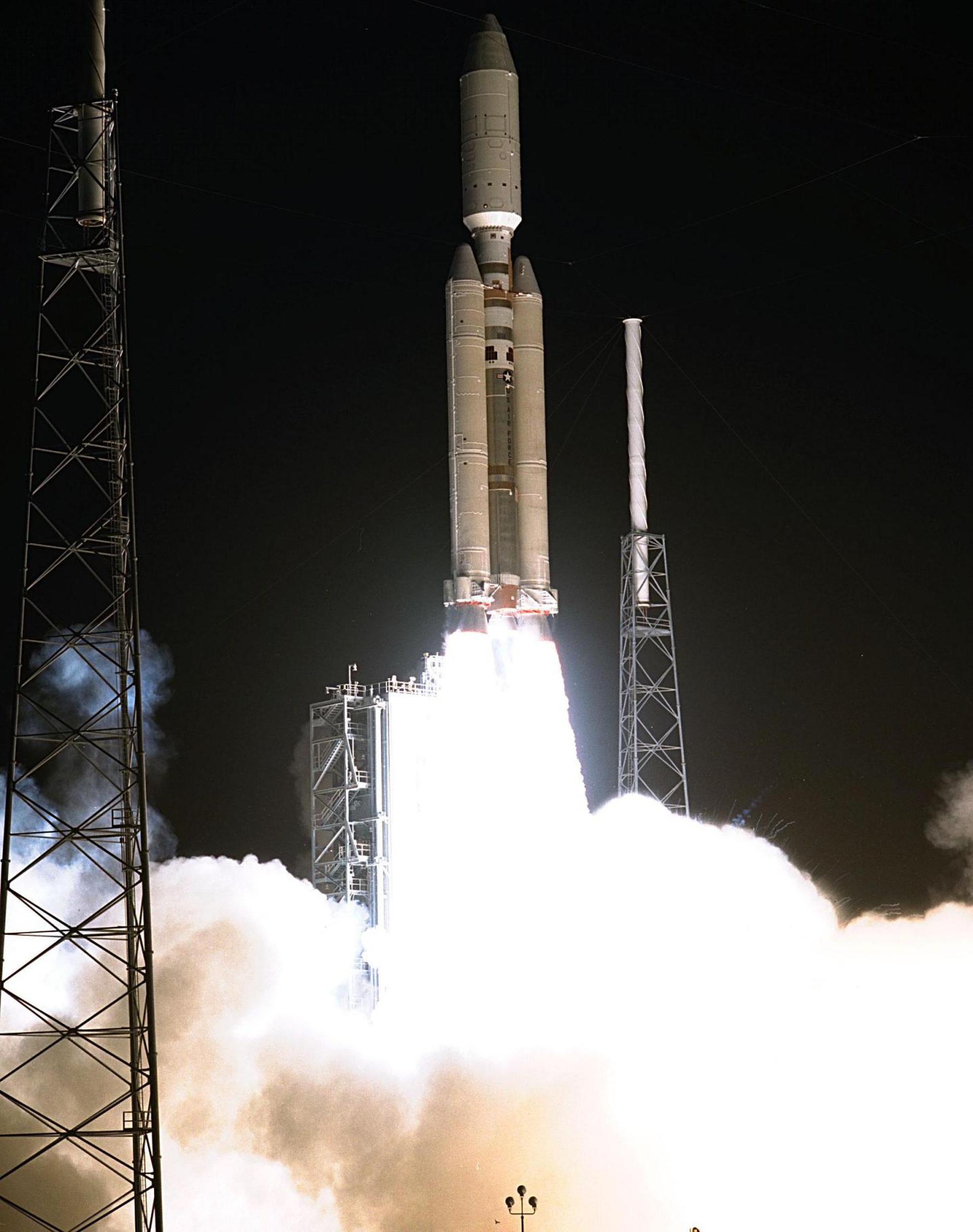