Launch List
AN API endpoint that returns all Launch objects or a single launch.
EXAMPLE - /launch/[id]/ or /launch/?mode=list&search=SpaceX
GET Return a list of all Launch objects.
FILTERS Fields - 'name', 'id(s)', 'lsp__id', 'lsp__name', 'serial_number', 'launcher_config__id', 'rocket__spacecraftflight__spacecraft__name', 'is_crewed', 'include_suborbital', 'spacecraft_config__ids', 'related', 'location__ids', 'lsp__ids', 'pad__ids', 'status__ids'
MODE 'normal', 'list', 'detailed'
EXAMPLE ?mode=list
SEARCH Searches through the launch name, rocket name, launch agency, mission name & spacecraft name.
EXAMPLE - ?search=SpaceX
GET /2.2.0/launch/?format=api&offset=3710&ordering=-name
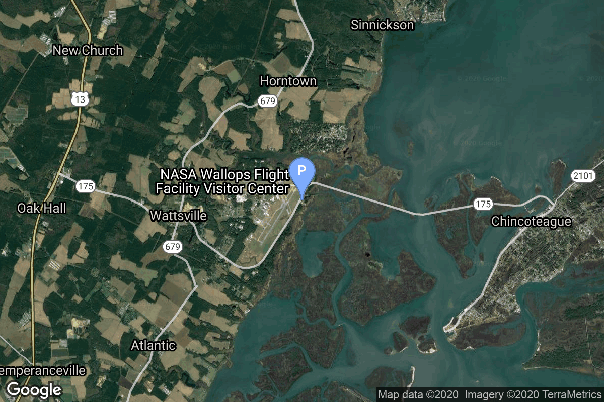
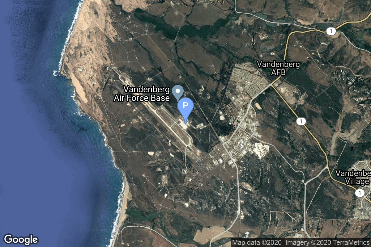
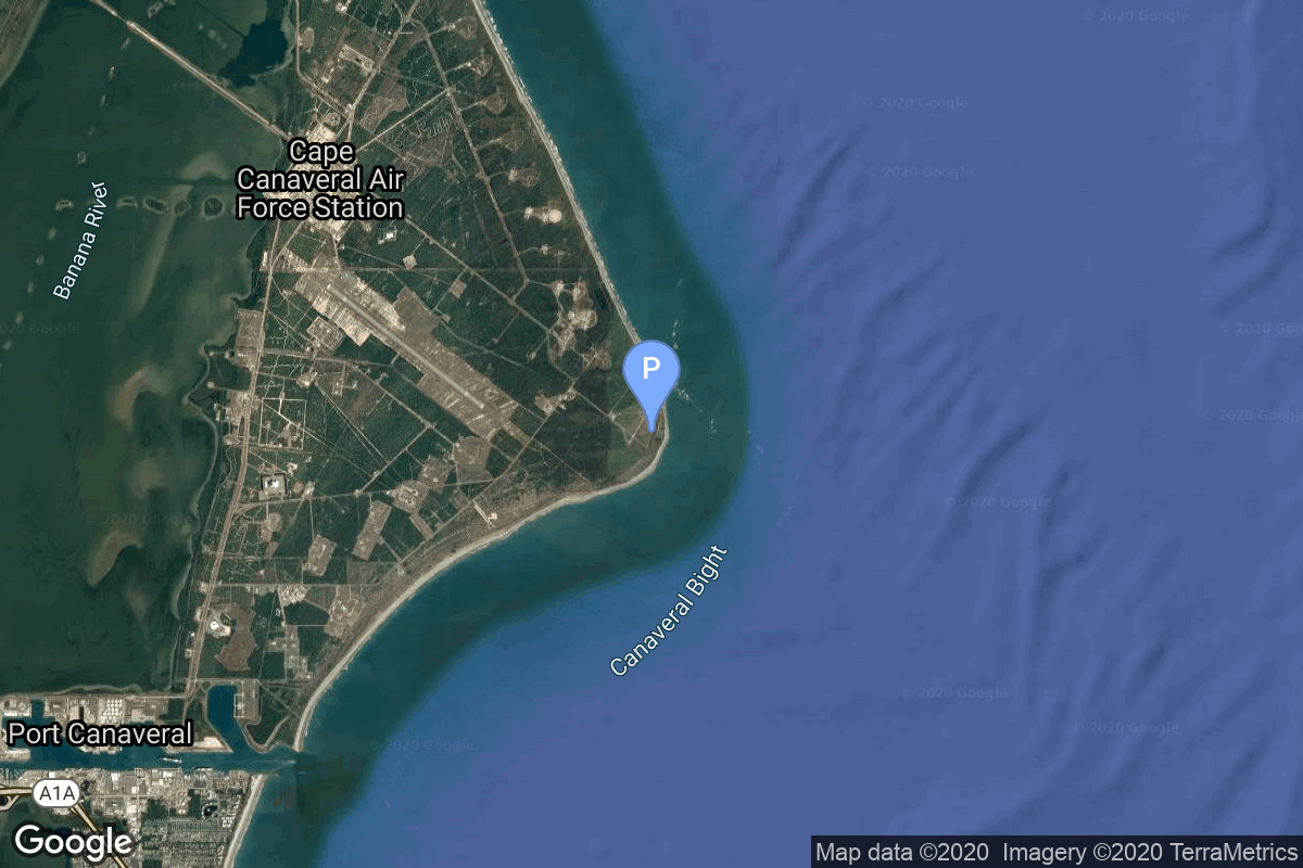
{ "count": 7794, "next": "https://ll.thespacedevs.com/2.2.0/launch/?format=api&limit=10&offset=3720&ordering=-name", "previous": "https://ll.thespacedevs.com/2.2.0/launch/?format=api&limit=10&offset=3700&ordering=-name", "results": [ { "id": "6e83e29a-17c1-4e9d-990d-1c9269a0aeb5", "url": "https://ll.thespacedevs.com/2.2.0/launch/6e83e29a-17c1-4e9d-990d-1c9269a0aeb5/?format=api", "slug": "pegasus-xl-haps-orbcomm-d2-d8", "name": "Pegasus XL HAPS | Orbcomm-D2 - D8", "status": { "id": 3, "name": "Launch Successful", "abbrev": "Success", "description": "The launch vehicle successfully inserted its payload(s) into the target orbit(s)." }, "last_updated": "2023-06-14T03:54:33Z", "net": "1999-12-04T18:53:00Z", "window_end": "1999-12-04T18:53:00Z", "window_start": "1999-12-04T18:53:00Z", "net_precision": null, "probability": null, "weather_concerns": null, "holdreason": "", "failreason": null, "hashtag": null, "launch_service_provider": { "id": 100, "url": "https://ll.thespacedevs.com/2.2.0/agencies/100/?format=api", "name": "Orbital Sciences Corporation", "type": "Commercial" }, "rocket": { "id": 447, "configuration": { "id": 118, "url": "https://ll.thespacedevs.com/2.2.0/config/launcher/118/?format=api", "name": "Pegasus XL HAPS", "family": "Pegasus", "full_name": "Pegasus XL HAPS", "variant": "HAPS" } }, "mission": null, "pad": { "id": 52, "url": "https://ll.thespacedevs.com/2.2.0/pad/52/?format=api", "agency_id": null, "name": "Wallops Flight Facility", "description": null, "info_url": null, "wiki_url": "https://en.wikipedia.org/wiki/Wallops_Flight_Facility", "map_url": "https://www.google.com/maps?q=37.938611,-75.457222", "latitude": "37.938611", "longitude": "-75.457222", "location": { "id": 20, "url": "https://ll.thespacedevs.com/2.2.0/location/20/?format=api", "name": "Air launch to orbit", "country_code": "???", "description": "", "map_image": "https://thespacedevs-prod.nyc3.digitaloceanspaces.com/media/map_images/location_20_20200803142433.jpg", "timezone_name": "", "total_launch_count": 51, "total_landing_count": 0 }, "country_code": "USA", "map_image": "https://thespacedevs-prod.nyc3.digitaloceanspaces.com/media/map_images/pad_52_20200803143305.jpg", "total_launch_count": 6, "orbital_launch_attempt_count": 6 }, "webcast_live": false, "image": "https://thespacedevs-prod.nyc3.digitaloceanspaces.com/media/images/pegasus_xl_moun_image_20240307124328.jpeg", "infographic": null, "program": [], "orbital_launch_attempt_count": 4358, "location_launch_attempt_count": 27, "pad_launch_attempt_count": 6, "agency_launch_attempt_count": 31, "orbital_launch_attempt_count_year": 69, "location_launch_attempt_count_year": 3, "pad_launch_attempt_count_year": 1, "agency_launch_attempt_count_year": 3, "type": "normal" }, { "id": "ba620be4-b9ef-4774-aaa1-5fb97030e05c", "url": "https://ll.thespacedevs.com/2.2.0/launch/ba620be4-b9ef-4774-aaa1-5fb97030e05c/?format=api", "slug": "pegasus-xl-haps-orbcomm-c1-c8", "name": "Pegasus XL HAPS | Orbcomm-C1 - C8", "status": { "id": 3, "name": "Launch Successful", "abbrev": "Success", "description": "The launch vehicle successfully inserted its payload(s) into the target orbit(s)." }, "last_updated": "2023-06-14T03:54:33Z", "net": "1998-09-23T05:06:00Z", "window_end": "1998-09-23T05:06:00Z", "window_start": "1998-09-23T05:06:00Z", "net_precision": null, "probability": null, "weather_concerns": null, "holdreason": "", "failreason": null, "hashtag": null, "launch_service_provider": { "id": 100, "url": "https://ll.thespacedevs.com/2.2.0/agencies/100/?format=api", "name": "Orbital Sciences Corporation", "type": "Commercial" }, "rocket": { "id": 435, "configuration": { "id": 118, "url": "https://ll.thespacedevs.com/2.2.0/config/launcher/118/?format=api", "name": "Pegasus XL HAPS", "family": "Pegasus", "full_name": "Pegasus XL HAPS", "variant": "HAPS" } }, "mission": null, "pad": { "id": 52, "url": "https://ll.thespacedevs.com/2.2.0/pad/52/?format=api", "agency_id": null, "name": "Wallops Flight Facility", "description": null, "info_url": null, "wiki_url": "https://en.wikipedia.org/wiki/Wallops_Flight_Facility", "map_url": "https://www.google.com/maps?q=37.938611,-75.457222", "latitude": "37.938611", "longitude": "-75.457222", "location": { "id": 20, "url": "https://ll.thespacedevs.com/2.2.0/location/20/?format=api", "name": "Air launch to orbit", "country_code": "???", "description": "", "map_image": "https://thespacedevs-prod.nyc3.digitaloceanspaces.com/media/map_images/location_20_20200803142433.jpg", "timezone_name": "", "total_launch_count": 51, "total_landing_count": 0 }, "country_code": "USA", "map_image": "https://thespacedevs-prod.nyc3.digitaloceanspaces.com/media/map_images/pad_52_20200803143305.jpg", "total_launch_count": 6, "orbital_launch_attempt_count": 6 }, "webcast_live": false, "image": "https://thespacedevs-prod.nyc3.digitaloceanspaces.com/media/images/pegasus_xl_moun_image_20240307124328.jpeg", "infographic": null, "program": [], "orbital_launch_attempt_count": 4265, "location_launch_attempt_count": 22, "pad_launch_attempt_count": 5, "agency_launch_attempt_count": 25, "orbital_launch_attempt_count_year": 58, "location_launch_attempt_count_year": 4, "pad_launch_attempt_count_year": 2, "agency_launch_attempt_count_year": 5, "type": "normal" }, { "id": "3a4e30cd-d27c-4305-a6d9-e462172b1374", "url": "https://ll.thespacedevs.com/2.2.0/launch/3a4e30cd-d27c-4305-a6d9-e462172b1374/?format=api", "slug": "pegasus-xl-haps-orbcomm-b1-b8", "name": "Pegasus XL HAPS | Orbcomm-B1 - B8", "status": { "id": 3, "name": "Launch Successful", "abbrev": "Success", "description": "The launch vehicle successfully inserted its payload(s) into the target orbit(s)." }, "last_updated": "2023-06-14T03:54:33Z", "net": "1998-08-02T16:24:00Z", "window_end": "1998-08-02T16:24:00Z", "window_start": "1998-08-02T16:24:00Z", "net_precision": null, "probability": null, "weather_concerns": null, "holdreason": "", "failreason": null, "hashtag": null, "launch_service_provider": { "id": 100, "url": "https://ll.thespacedevs.com/2.2.0/agencies/100/?format=api", "name": "Orbital Sciences Corporation", "type": "Commercial" }, "rocket": { "id": 432, "configuration": { "id": 118, "url": "https://ll.thespacedevs.com/2.2.0/config/launcher/118/?format=api", "name": "Pegasus XL HAPS", "family": "Pegasus", "full_name": "Pegasus XL HAPS", "variant": "HAPS" } }, "mission": null, "pad": { "id": 52, "url": "https://ll.thespacedevs.com/2.2.0/pad/52/?format=api", "agency_id": null, "name": "Wallops Flight Facility", "description": null, "info_url": null, "wiki_url": "https://en.wikipedia.org/wiki/Wallops_Flight_Facility", "map_url": "https://www.google.com/maps?q=37.938611,-75.457222", "latitude": "37.938611", "longitude": "-75.457222", "location": { "id": 20, "url": "https://ll.thespacedevs.com/2.2.0/location/20/?format=api", "name": "Air launch to orbit", "country_code": "???", "description": "", "map_image": "https://thespacedevs-prod.nyc3.digitaloceanspaces.com/media/map_images/location_20_20200803142433.jpg", "timezone_name": "", "total_launch_count": 51, "total_landing_count": 0 }, "country_code": "USA", "map_image": "https://thespacedevs-prod.nyc3.digitaloceanspaces.com/media/map_images/pad_52_20200803143305.jpg", "total_launch_count": 6, "orbital_launch_attempt_count": 6 }, "webcast_live": false, "image": "https://thespacedevs-prod.nyc3.digitaloceanspaces.com/media/images/pegasus_xl_moun_image_20240307124328.jpeg", "infographic": null, "program": [], "orbital_launch_attempt_count": 4254, "location_launch_attempt_count": 21, "pad_launch_attempt_count": 4, "agency_launch_attempt_count": 24, "orbital_launch_attempt_count_year": 47, "location_launch_attempt_count_year": 3, "pad_launch_attempt_count_year": 1, "agency_launch_attempt_count_year": 4, "type": "normal" }, { "id": "0acafdb8-f363-4caf-8fc2-572def9a33fc", "url": "https://ll.thespacedevs.com/2.2.0/launch/0acafdb8-f363-4caf-8fc2-572def9a33fc/?format=api", "slug": "pegasus-xl-haps-orbcomm-a1-a8", "name": "Pegasus XL HAPS | Orbcomm-A1 - A8", "status": { "id": 3, "name": "Launch Successful", "abbrev": "Success", "description": "The launch vehicle successfully inserted its payload(s) into the target orbit(s)." }, "last_updated": "2024-06-15T13:21:09Z", "net": "1997-12-23T19:11:42Z", "window_end": "1997-12-23T19:11:42Z", "window_start": "1997-12-23T19:11:42Z", "net_precision": { "id": 0, "name": "Second", "abbrev": "SEC", "description": "The T-0 is accurate to the second." }, "probability": null, "weather_concerns": null, "holdreason": "", "failreason": "", "hashtag": null, "launch_service_provider": { "id": 100, "url": "https://ll.thespacedevs.com/2.2.0/agencies/100/?format=api", "name": "Orbital Sciences Corporation", "type": "Commercial" }, "rocket": { "id": 426, "configuration": { "id": 118, "url": "https://ll.thespacedevs.com/2.2.0/config/launcher/118/?format=api", "name": "Pegasus XL HAPS", "family": "Pegasus", "full_name": "Pegasus XL HAPS", "variant": "HAPS" } }, "mission": null, "pad": { "id": 52, "url": "https://ll.thespacedevs.com/2.2.0/pad/52/?format=api", "agency_id": null, "name": "Wallops Flight Facility", "description": null, "info_url": null, "wiki_url": "https://en.wikipedia.org/wiki/Wallops_Flight_Facility", "map_url": "https://www.google.com/maps?q=37.938611,-75.457222", "latitude": "37.938611", "longitude": "-75.457222", "location": { "id": 20, "url": "https://ll.thespacedevs.com/2.2.0/location/20/?format=api", "name": "Air launch to orbit", "country_code": "???", "description": "", "map_image": "https://thespacedevs-prod.nyc3.digitaloceanspaces.com/media/map_images/location_20_20200803142433.jpg", "timezone_name": "", "total_launch_count": 51, "total_landing_count": 0 }, "country_code": "USA", "map_image": "https://thespacedevs-prod.nyc3.digitaloceanspaces.com/media/map_images/pad_52_20200803143305.jpg", "total_launch_count": 6, "orbital_launch_attempt_count": 6 }, "webcast_live": false, "image": "https://thespacedevs-prod.nyc3.digitaloceanspaces.com/media/images/pegasus_xl_moun_image_20240307124328.jpeg", "infographic": null, "program": [], "orbital_launch_attempt_count": 4205, "location_launch_attempt_count": 18, "pad_launch_attempt_count": 3, "agency_launch_attempt_count": 20, "orbital_launch_attempt_count_year": 87, "location_launch_attempt_count_year": 4, "pad_launch_attempt_count_year": 2, "agency_launch_attempt_count_year": 5, "type": "normal" }, { "id": "baa4ec28-81b7-484f-8960-d618db808623", "url": "https://ll.thespacedevs.com/2.2.0/launch/baa4ec28-81b7-484f-8960-d618db808623/?format=api", "slug": "pegasus-xl-haps-mublcom-terriers", "name": "Pegasus XL HAPS | MUBLCOM & TERRIERS", "status": { "id": 3, "name": "Launch Successful", "abbrev": "Success", "description": "The launch vehicle successfully inserted its payload(s) into the target orbit(s)." }, "last_updated": "2024-08-02T16:27:30Z", "net": "1999-05-18T05:09:00Z", "window_end": "1999-05-18T05:09:00Z", "window_start": "1999-05-18T05:09:00Z", "net_precision": null, "probability": null, "weather_concerns": null, "holdreason": "", "failreason": "", "hashtag": null, "launch_service_provider": { "id": 100, "url": "https://ll.thespacedevs.com/2.2.0/agencies/100/?format=api", "name": "Orbital Sciences Corporation", "type": "Commercial" }, "rocket": { "id": 443, "configuration": { "id": 118, "url": "https://ll.thespacedevs.com/2.2.0/config/launcher/118/?format=api", "name": "Pegasus XL HAPS", "family": "Pegasus", "full_name": "Pegasus XL HAPS", "variant": "HAPS" } }, "mission": null, "pad": { "id": 62, "url": "https://ll.thespacedevs.com/2.2.0/pad/62/?format=api", "agency_id": null, "name": "Vandenberg Space Force Base", "description": null, "info_url": null, "wiki_url": "https://en.wikipedia.org/wiki/Vandenberg_Space_Force_Base", "map_url": "https://www.google.com/maps?q=34.732778,-120.568056", "latitude": "34.732778", "longitude": "-120.568056", "location": { "id": 20, "url": "https://ll.thespacedevs.com/2.2.0/location/20/?format=api", "name": "Air launch to orbit", "country_code": "???", "description": "", "map_image": "https://thespacedevs-prod.nyc3.digitaloceanspaces.com/media/map_images/location_20_20200803142433.jpg", "timezone_name": "", "total_launch_count": 51, "total_landing_count": 0 }, "country_code": "USA", "map_image": "https://thespacedevs-prod.nyc3.digitaloceanspaces.com/media/map_images/pad_62_20200803143441.jpg", "total_launch_count": 22, "orbital_launch_attempt_count": 22 }, "webcast_live": false, "image": "https://thespacedevs-prod.nyc3.digitaloceanspaces.com/media/images/pegasus_xl_moun_image_20240307124328.jpeg", "infographic": null, "program": [], "orbital_launch_attempt_count": 4316, "location_launch_attempt_count": 26, "pad_launch_attempt_count": 13, "agency_launch_attempt_count": 30, "orbital_launch_attempt_count_year": 27, "location_launch_attempt_count_year": 2, "pad_launch_attempt_count_year": 2, "agency_launch_attempt_count_year": 2, "type": "normal" }, { "id": "9a6a183b-f416-417d-ad12-aef14af047ed", "url": "https://ll.thespacedevs.com/2.2.0/launch/9a6a183b-f416-417d-ad12-aef14af047ed/?format=api", "slug": "pegasus-xl-galaxy-evolution-explorer-galex", "name": "Pegasus XL | Galaxy Evolution Explorer (GALEX)", "status": { "id": 3, "name": "Launch Successful", "abbrev": "Success", "description": "The launch vehicle successfully inserted its payload(s) into the target orbit(s)." }, "last_updated": "2024-06-13T18:14:09Z", "net": "2003-04-28T11:59:57Z", "window_end": "2003-04-28T11:59:57Z", "window_start": "2003-04-28T11:59:57Z", "net_precision": { "id": 0, "name": "Second", "abbrev": "SEC", "description": "The T-0 is accurate to the second." }, "probability": null, "weather_concerns": null, "holdreason": "", "failreason": "", "hashtag": null, "launch_service_provider": { "id": 100, "url": "https://ll.thespacedevs.com/2.2.0/agencies/100/?format=api", "name": "Orbital Sciences Corporation", "type": "Commercial" }, "rocket": { "id": 493, "configuration": { "id": 173, "url": "https://ll.thespacedevs.com/2.2.0/config/launcher/173/?format=api", "name": "Pegasus XL", "family": "Pegasus", "full_name": "Pegasus XL", "variant": "" } }, "mission": null, "pad": { "id": 84, "url": "https://ll.thespacedevs.com/2.2.0/pad/84/?format=api", "agency_id": null, "name": "Cape Canaveral", "description": null, "info_url": null, "wiki_url": "https://en.wikipedia.org/wiki/Cape_Canaveral", "map_url": "https://www.google.com/maps?q=28.455556,-80.527778", "latitude": "28.455556", "longitude": "-80.527778", "location": { "id": 20, "url": "https://ll.thespacedevs.com/2.2.0/location/20/?format=api", "name": "Air launch to orbit", "country_code": "???", "description": "", "map_image": "https://thespacedevs-prod.nyc3.digitaloceanspaces.com/media/map_images/location_20_20200803142433.jpg", "timezone_name": "", "total_launch_count": 51, "total_landing_count": 0 }, "country_code": "USA", "map_image": "https://thespacedevs-prod.nyc3.digitaloceanspaces.com/media/map_images/pad_84_20200803143436.jpg", "total_launch_count": 7, "orbital_launch_attempt_count": 7 }, "webcast_live": false, "image": "https://thespacedevs-prod.nyc3.digitaloceanspaces.com/media/images/pegasus_xl_moun_image_20240307124328.jpeg", "infographic": null, "program": [], "orbital_launch_attempt_count": 4593, "location_launch_attempt_count": 32, "pad_launch_attempt_count": 5, "agency_launch_attempt_count": 41, "orbital_launch_attempt_count_year": 17, "location_launch_attempt_count_year": 2, "pad_launch_attempt_count_year": 2, "agency_launch_attempt_count_year": 2, "type": "normal" }, { "id": "18bb9891-5a76-4fd7-b232-4624994c98c1", "url": "https://ll.thespacedevs.com/2.2.0/launch/18bb9891-5a76-4fd7-b232-4624994c98c1/?format=api", "slug": "pegasus-xl-fast-on-orbit-rapid-recording-of-transi", "name": "Pegasus XL | Fast On-orbit Rapid Recording of Transient Events (FORTE)", "status": { "id": 3, "name": "Launch Successful", "abbrev": "Success", "description": "The launch vehicle successfully inserted its payload(s) into the target orbit(s)." }, "last_updated": "2024-06-15T13:46:58Z", "net": "1997-08-29T15:02:22Z", "window_end": "1997-08-29T15:02:22Z", "window_start": "1997-08-29T15:02:22Z", "net_precision": { "id": 0, "name": "Second", "abbrev": "SEC", "description": "The T-0 is accurate to the second." }, "probability": null, "weather_concerns": null, "holdreason": "", "failreason": "", "hashtag": null, "launch_service_provider": { "id": 100, "url": "https://ll.thespacedevs.com/2.2.0/agencies/100/?format=api", "name": "Orbital Sciences Corporation", "type": "Commercial" }, "rocket": { "id": 420, "configuration": { "id": 173, "url": "https://ll.thespacedevs.com/2.2.0/config/launcher/173/?format=api", "name": "Pegasus XL", "family": "Pegasus", "full_name": "Pegasus XL", "variant": "" } }, "mission": null, "pad": { "id": 61, "url": "https://ll.thespacedevs.com/2.2.0/pad/61/?format=api", "agency_id": 161, "name": "Space Launch Complex 10E", "description": "Space Launch Complex 10, or Missile Launch Complex 10, is located on Vandenberg Space Force Base in Lompoc, California. It was built in 1958 to test ballistic missiles and developed into a space launching facility in 1963.", "info_url": null, "wiki_url": "https://en.wikipedia.org/wiki/Vandenberg_Space_Launch_Complex_10", "map_url": "https://www.google.com/maps?q=34.7626,-120.6213", "latitude": "34.7626", "longitude": "-120.6213", "location": { "id": 11, "url": "https://ll.thespacedevs.com/2.2.0/location/11/?format=api", "name": "Vandenberg SFB, CA, USA", "country_code": "USA", "description": "Vandenberg Space Force Base is a United States Space Force Base in Santa Barbara County, California. Established in 1941, Vandenberg Space Force Base is a space launch base, launching spacecraft from the Western Range, and also performs missile testing. The United States Space Force's Space Launch Delta 30 serves as the host delta for the base, equivalent to an Air Force air base wing. In addition to its military space launch mission, Vandenberg Space Force Base also hosts space launches for civil and commercial space entities, such as NASA and SpaceX.", "map_image": "https://thespacedevs-prod.nyc3.digitaloceanspaces.com/media/map_images/location_11_20200803142416.jpg", "timezone_name": "America/Los_Angeles", "total_launch_count": 863, "total_landing_count": 33 }, "country_code": "USA", "map_image": "https://thespacedevs-prod.nyc3.digitaloceanspaces.com/media/map_images/pad_61_20200803143410.jpg", "total_launch_count": 1, "orbital_launch_attempt_count": 1 }, "webcast_live": false, "image": "https://thespacedevs-prod.nyc3.digitaloceanspaces.com/media/images/pegasus_xl_moun_image_20240307124328.jpeg", "infographic": null, "program": [], "orbital_launch_attempt_count": 4167, "location_launch_attempt_count": 576, "pad_launch_attempt_count": 1, "agency_launch_attempt_count": 18, "orbital_launch_attempt_count_year": 49, "location_launch_attempt_count_year": 6, "pad_launch_attempt_count_year": 1, "agency_launch_attempt_count_year": 3, "type": "normal" }, { "id": "c5ec6c97-593d-4e1d-a3b2-6e8b10ed278a", "url": "https://ll.thespacedevs.com/2.2.0/launch/c5ec6c97-593d-4e1d-a3b2-6e8b10ed278a/?format=api", "slug": "pegasus-xl-fast-auroral-snapshot-explorer-fast", "name": "Pegasus XL | Fast Auroral Snapshot Explorer (FAST)", "status": { "id": 3, "name": "Launch Successful", "abbrev": "Success", "description": "The launch vehicle successfully inserted its payload(s) into the target orbit(s)." }, "last_updated": "2024-06-15T13:33:59Z", "net": "1996-08-21T09:47:26Z", "window_end": "1996-08-21T09:47:26Z", "window_start": "1996-08-21T09:47:26Z", "net_precision": { "id": 0, "name": "Second", "abbrev": "SEC", "description": "The T-0 is accurate to the second." }, "probability": null, "weather_concerns": null, "holdreason": "", "failreason": "", "hashtag": null, "launch_service_provider": { "id": 100, "url": "https://ll.thespacedevs.com/2.2.0/agencies/100/?format=api", "name": "Orbital Sciences Corporation", "type": "Commercial" }, "rocket": { "id": 406, "configuration": { "id": 173, "url": "https://ll.thespacedevs.com/2.2.0/config/launcher/173/?format=api", "name": "Pegasus XL", "family": "Pegasus", "full_name": "Pegasus XL", "variant": "" } }, "mission": null, "pad": { "id": 62, "url": "https://ll.thespacedevs.com/2.2.0/pad/62/?format=api", "agency_id": null, "name": "Vandenberg Space Force Base", "description": null, "info_url": null, "wiki_url": "https://en.wikipedia.org/wiki/Vandenberg_Space_Force_Base", "map_url": "https://www.google.com/maps?q=34.732778,-120.568056", "latitude": "34.732778", "longitude": "-120.568056", "location": { "id": 20, "url": "https://ll.thespacedevs.com/2.2.0/location/20/?format=api", "name": "Air launch to orbit", "country_code": "???", "description": "", "map_image": "https://thespacedevs-prod.nyc3.digitaloceanspaces.com/media/map_images/location_20_20200803142433.jpg", "timezone_name": "", "total_launch_count": 51, "total_landing_count": 0 }, "country_code": "USA", "map_image": "https://thespacedevs-prod.nyc3.digitaloceanspaces.com/media/map_images/pad_62_20200803143441.jpg", "total_launch_count": 22, "orbital_launch_attempt_count": 22 }, "webcast_live": false, "image": "https://thespacedevs-prod.nyc3.digitaloceanspaces.com/media/images/pegasus_xl_moun_image_20240307124328.jpeg", "infographic": null, "program": [], "orbital_launch_attempt_count": 4094, "location_launch_attempt_count": 13, "pad_launch_attempt_count": 7, "agency_launch_attempt_count": 14, "orbital_launch_attempt_count_year": 53, "location_launch_attempt_count_year": 4, "pad_launch_attempt_count_year": 4, "agency_launch_attempt_count_year": 4, "type": "normal" }, { "id": "95cc0435-6231-468f-853b-2f730b23552d", "url": "https://ll.thespacedevs.com/2.2.0/launch/95cc0435-6231-468f-853b-2f730b23552d/?format=api", "slug": "pegasus-xl-demonstration-for-autonomous-rendezvous", "name": "Pegasus XL | Demonstration for Autonomous Rendezvous Technology (DART)", "status": { "id": 3, "name": "Launch Successful", "abbrev": "Success", "description": "The launch vehicle successfully inserted its payload(s) into the target orbit(s)." }, "last_updated": "2024-06-13T18:13:14Z", "net": "2005-04-15T17:26:50Z", "window_end": "2005-04-15T17:26:50Z", "window_start": "2005-04-15T17:26:50Z", "net_precision": { "id": 0, "name": "Second", "abbrev": "SEC", "description": "The T-0 is accurate to the second." }, "probability": null, "weather_concerns": null, "holdreason": "", "failreason": "", "hashtag": null, "launch_service_provider": { "id": 100, "url": "https://ll.thespacedevs.com/2.2.0/agencies/100/?format=api", "name": "Orbital Sciences Corporation", "type": "Commercial" }, "rocket": { "id": 510, "configuration": { "id": 173, "url": "https://ll.thespacedevs.com/2.2.0/config/launcher/173/?format=api", "name": "Pegasus XL", "family": "Pegasus", "full_name": "Pegasus XL", "variant": "" } }, "mission": null, "pad": { "id": 62, "url": "https://ll.thespacedevs.com/2.2.0/pad/62/?format=api", "agency_id": null, "name": "Vandenberg Space Force Base", "description": null, "info_url": null, "wiki_url": "https://en.wikipedia.org/wiki/Vandenberg_Space_Force_Base", "map_url": "https://www.google.com/maps?q=34.732778,-120.568056", "latitude": "34.732778", "longitude": "-120.568056", "location": { "id": 20, "url": "https://ll.thespacedevs.com/2.2.0/location/20/?format=api", "name": "Air launch to orbit", "country_code": "???", "description": "", "map_image": "https://thespacedevs-prod.nyc3.digitaloceanspaces.com/media/map_images/location_20_20200803142433.jpg", "timezone_name": "", "total_launch_count": 51, "total_landing_count": 0 }, "country_code": "USA", "map_image": "https://thespacedevs-prod.nyc3.digitaloceanspaces.com/media/map_images/pad_62_20200803143441.jpg", "total_launch_count": 22, "orbital_launch_attempt_count": 22 }, "webcast_live": false, "image": "https://thespacedevs-prod.nyc3.digitaloceanspaces.com/media/images/pegasus_xl_moun_image_20240307124328.jpeg", "infographic": null, "program": [], "orbital_launch_attempt_count": 4708, "location_launch_attempt_count": 35, "pad_launch_attempt_count": 17, "agency_launch_attempt_count": 46, "orbital_launch_attempt_count_year": 14, "location_launch_attempt_count_year": 1, "pad_launch_attempt_count_year": 1, "agency_launch_attempt_count_year": 2, "type": "normal" }, { "id": "6da0df25-01f7-469f-adb9-17700b5d68ff", "url": "https://ll.thespacedevs.com/2.2.0/launch/6da0df25-01f7-469f-adb9-17700b5d68ff/?format=api", "slug": "pegasus-xl-communicationsnavigation-outage-forecas", "name": "Pegasus XL | Communications/Navigation Outage Forecasting System (C/NOFS)", "status": { "id": 3, "name": "Launch Successful", "abbrev": "Success", "description": "The launch vehicle successfully inserted its payload(s) into the target orbit(s)." }, "last_updated": "2024-06-13T18:05:06Z", "net": "2008-04-16T17:02:48Z", "window_end": "2008-04-16T17:02:48Z", "window_start": "2008-04-16T17:02:48Z", "net_precision": { "id": 0, "name": "Second", "abbrev": "SEC", "description": "The T-0 is accurate to the second." }, "probability": null, "weather_concerns": null, "holdreason": "", "failreason": "", "hashtag": null, "launch_service_provider": { "id": 100, "url": "https://ll.thespacedevs.com/2.2.0/agencies/100/?format=api", "name": "Orbital Sciences Corporation", "type": "Commercial" }, "rocket": { "id": 1394, "configuration": { "id": 173, "url": "https://ll.thespacedevs.com/2.2.0/config/launcher/173/?format=api", "name": "Pegasus XL", "family": "Pegasus", "full_name": "Pegasus XL", "variant": "" } }, "mission": null, "pad": { "id": 59, "url": "https://ll.thespacedevs.com/2.2.0/pad/59/?format=api", "agency_id": null, "name": "Kwajalein Atoll", "description": null, "info_url": null, "wiki_url": "https://en.wikipedia.org/wiki/Kwajalein_Atoll", "map_url": "https://www.google.com/maps?q=8.716667,167.733333", "latitude": "8.716667", "longitude": "167.733333", "location": { "id": 20, "url": "https://ll.thespacedevs.com/2.2.0/location/20/?format=api", "name": "Air launch to orbit", "country_code": "???", "description": "", "map_image": "https://thespacedevs-prod.nyc3.digitaloceanspaces.com/media/map_images/location_20_20200803142433.jpg", "timezone_name": "", "total_launch_count": 51, "total_landing_count": 0 }, "country_code": "MHL", "map_image": "https://thespacedevs-prod.nyc3.digitaloceanspaces.com/media/map_images/pad_59_20200803143427.jpg", "total_launch_count": 4, "orbital_launch_attempt_count": 4 }, "webcast_live": false, "image": "https://thespacedevs-prod.nyc3.digitaloceanspaces.com/media/images/pegasus_xl_moun_image_20240307124328.jpeg", "infographic": null, "program": [], "orbital_launch_attempt_count": 4902, "location_launch_attempt_count": 39, "pad_launch_attempt_count": 2, "agency_launch_attempt_count": 54, "orbital_launch_attempt_count_year": 17, "location_launch_attempt_count_year": 1, "pad_launch_attempt_count_year": 1, "agency_launch_attempt_count_year": 1, "type": "normal" } ] }