Launch List
AN API endpoint that returns all Launch objects or a single launch.
EXAMPLE - /launch/[id]/ or /launch/?mode=list&search=SpaceX
GET Return a list of all Launch objects.
FILTERS Fields - 'name', 'id(s)', 'lsp__id', 'lsp__name', 'serial_number', 'launcher_config__id', 'rocket__spacecraftflight__spacecraft__name', 'is_crewed', 'include_suborbital', 'spacecraft_config__ids', 'related', 'location__ids', 'lsp__ids', 'pad__ids', 'status__ids'
MODE 'normal', 'list', 'detailed'
EXAMPLE ?mode=list
SEARCH Searches through the launch name, rocket name, launch agency, mission name & spacecraft name.
EXAMPLE - ?search=SpaceX
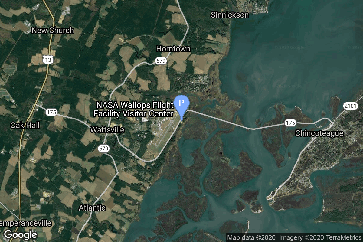
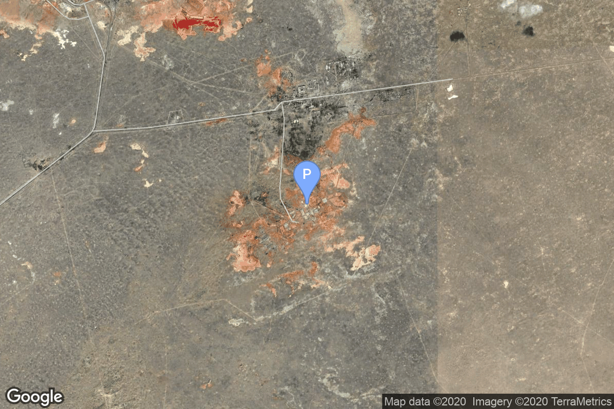
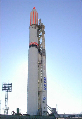
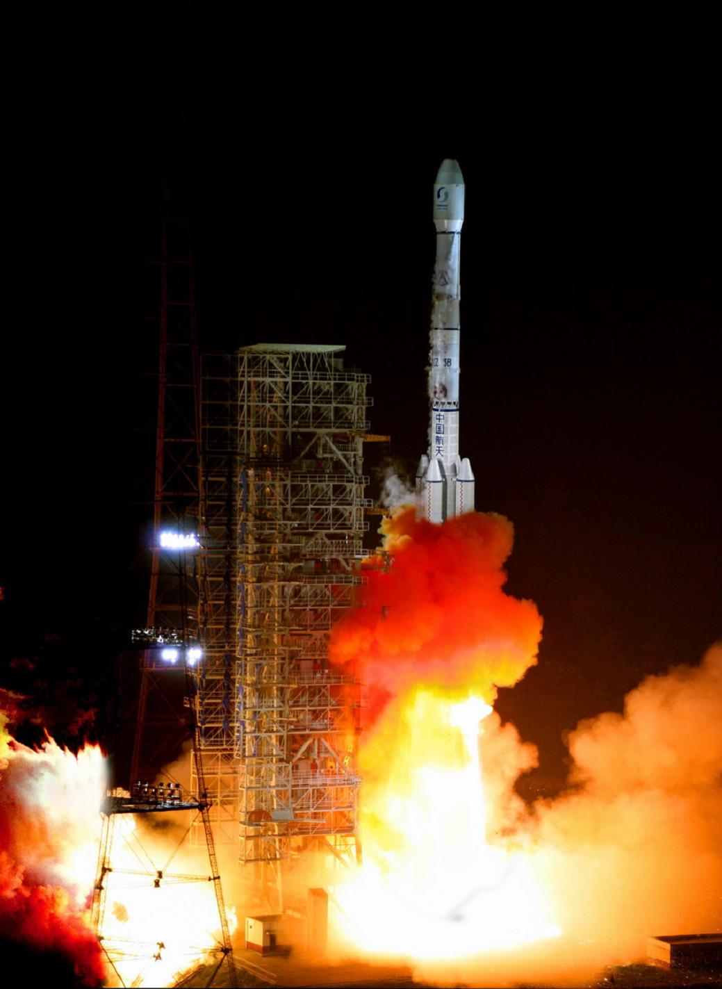
GET /2.2.0/launch/?format=api&offset=3600&ordering=-net
{ "count": 7921, "next": "https://ll.thespacedevs.com/2.2.0/launch/?format=api&limit=10&offset=3610&ordering=-net", "previous": "https://ll.thespacedevs.com/2.2.0/launch/?format=api&limit=10&offset=3590&ordering=-net", "results": [ { "id": "470ae747-c35f-4d43-a2ed-397d8456d270", "url": "https://ll.thespacedevs.com/2.2.0/launch/470ae747-c35f-4d43-a2ed-397d8456d270/?format=api", "slug": "titan-401a-centaur-mercury-16", "name": "Titan 401A Centaur | Mercury 16", "status": { "id": 4, "name": "Launch Failure", "abbrev": "Failure", "description": "Either the launch vehicle did not reach orbit, or the payload(s) failed to separate." }, "last_updated": "2023-06-14T17:42:40Z", "net": "1998-08-12T11:30:01Z", "window_end": "1998-08-12T11:30:01Z", "window_start": "1998-08-12T11:30:01Z", "net_precision": null, "probability": null, "weather_concerns": null, "holdreason": "", "failreason": null, "hashtag": null, "launch_service_provider": { "id": 161, "url": "https://ll.thespacedevs.com/2.2.0/agencies/161/?format=api", "name": "United States Air Force", "type": "Government" }, "rocket": { "id": 6870, "configuration": { "id": 427, "url": "https://ll.thespacedevs.com/2.2.0/config/launcher/427/?format=api", "name": "Titan 401A Centaur", "family": "Titan", "full_name": "Titan 401A Centaur", "variant": "401A Centaur" } }, "mission": { "id": 5260, "name": "Mercury 16", "description": "The Mercury (MC) series, although known to the public as 'Advanced Vortex', are the latest generation of USAF ELINT/SIGINT satellites. They were focussed on communications intelligence (COMINT), focused at strategic level communications, but had the capability added to intercept also missile telemetry. These satellites were launched under the designation Program 7500 and were part of NRO's Program A.", "launch_designator": null, "type": "Government/Top Secret", "orbit": { "id": 1, "name": "Geostationary Orbit", "abbrev": "Direct-GEO" }, "agencies": [], "info_urls": [], "vid_urls": [] }, "pad": { "id": 29, "url": "https://ll.thespacedevs.com/2.2.0/pad/29/?format=api", "agency_id": null, "name": "Space Launch Complex 41", "description": "", "info_url": null, "wiki_url": "https://en.wikipedia.org/wiki/Cape_Canaveral_Air_Force_Station_Space_Launch_Complex_41", "map_url": "https://www.google.com/maps?q=28.58341025,-80.58303644", "latitude": "28.58341025", "longitude": "-80.58303644", "location": { "id": 12, "url": "https://ll.thespacedevs.com/2.2.0/location/12/?format=api", "name": "Cape Canaveral SFS, FL, USA", "country_code": "USA", "description": "Cape Canaveral Space Force Station (CCSFS) is an installation of the United States Space Force's Space Launch Delta 45, located on Cape Canaveral in Brevard County, Florida.", "map_image": "https://thespacedevs-prod.nyc3.digitaloceanspaces.com/media/map_images/location_12_20200803142519.jpg", "timezone_name": "America/New_York", "total_launch_count": 1120, "total_landing_count": 75 }, "country_code": "USA", "map_image": "https://thespacedevs-prod.nyc3.digitaloceanspaces.com/media/map_images/pad_29_20200803143528.jpg", "total_launch_count": 125, "orbital_launch_attempt_count": 125 }, "webcast_live": false, "image": null, "infographic": null, "program": [], "orbital_launch_attempt_count": 4255, "location_launch_attempt_count": 550, "pad_launch_attempt_count": 26, "agency_launch_attempt_count": 997, "orbital_launch_attempt_count_year": 48, "location_launch_attempt_count_year": 11, "pad_launch_attempt_count_year": 1, "agency_launch_attempt_count_year": 10, "type": "normal" }, { "id": "3a4e30cd-d27c-4305-a6d9-e462172b1374", "url": "https://ll.thespacedevs.com/2.2.0/launch/3a4e30cd-d27c-4305-a6d9-e462172b1374/?format=api", "slug": "pegasus-xl-haps-orbcomm-b1-b8", "name": "Pegasus XL HAPS | Orbcomm-B1 - B8", "status": { "id": 3, "name": "Launch Successful", "abbrev": "Success", "description": "The launch vehicle successfully inserted its payload(s) into the target orbit(s)." }, "last_updated": "2023-06-14T03:54:33Z", "net": "1998-08-02T16:24:00Z", "window_end": "1998-08-02T16:24:00Z", "window_start": "1998-08-02T16:24:00Z", "net_precision": null, "probability": null, "weather_concerns": null, "holdreason": "", "failreason": null, "hashtag": null, "launch_service_provider": { "id": 100, "url": "https://ll.thespacedevs.com/2.2.0/agencies/100/?format=api", "name": "Orbital Sciences Corporation", "type": "Commercial" }, "rocket": { "id": 432, "configuration": { "id": 118, "url": "https://ll.thespacedevs.com/2.2.0/config/launcher/118/?format=api", "name": "Pegasus XL HAPS", "family": "Pegasus", "full_name": "Pegasus XL HAPS", "variant": "HAPS" } }, "mission": null, "pad": { "id": 52, "url": "https://ll.thespacedevs.com/2.2.0/pad/52/?format=api", "agency_id": null, "name": "Wallops Flight Facility", "description": null, "info_url": null, "wiki_url": "https://en.wikipedia.org/wiki/Wallops_Flight_Facility", "map_url": "https://www.google.com/maps?q=37.938611,-75.457222", "latitude": "37.938611", "longitude": "-75.457222", "location": { "id": 20, "url": "https://ll.thespacedevs.com/2.2.0/location/20/?format=api", "name": "Air launch to orbit", "country_code": "???", "description": "", "map_image": "https://thespacedevs-prod.nyc3.digitaloceanspaces.com/media/map_images/location_20_20200803142433.jpg", "timezone_name": "", "total_launch_count": 52, "total_landing_count": 0 }, "country_code": "USA", "map_image": "https://thespacedevs-prod.nyc3.digitaloceanspaces.com/media/map_images/pad_52_20200803143305.jpg", "total_launch_count": 6, "orbital_launch_attempt_count": 6 }, "webcast_live": false, "image": "https://thespacedevs-prod.nyc3.digitaloceanspaces.com/media/images/pegasus_xl_moun_image_20240307124328.jpeg", "infographic": null, "program": [], "orbital_launch_attempt_count": 4254, "location_launch_attempt_count": 21, "pad_launch_attempt_count": 4, "agency_launch_attempt_count": 24, "orbital_launch_attempt_count_year": 47, "location_launch_attempt_count_year": 3, "pad_launch_attempt_count_year": 1, "agency_launch_attempt_count_year": 4, "type": "normal" }, { "id": "8a26c196-7ec7-4bbe-83bb-4fafb7b07f89", "url": "https://ll.thespacedevs.com/2.2.0/launch/8a26c196-7ec7-4bbe-83bb-4fafb7b07f89/?format=api", "slug": "zenit-2-tselina-2-20", "name": "Zenit-2 | Tselina-2 20", "status": { "id": 3, "name": "Launch Successful", "abbrev": "Success", "description": "The launch vehicle successfully inserted its payload(s) into the target orbit(s)." }, "last_updated": "2023-06-14T03:30:58Z", "net": "1998-07-28T09:15:00Z", "window_end": "1998-07-28T09:15:00Z", "window_start": "1998-07-28T09:15:00Z", "net_precision": null, "probability": null, "weather_concerns": null, "holdreason": "", "failreason": null, "hashtag": null, "launch_service_provider": { "id": 63, "url": "https://ll.thespacedevs.com/2.2.0/agencies/63/?format=api", "name": "Russian Federal Space Agency (ROSCOSMOS)", "type": "Government" }, "rocket": { "id": 6869, "configuration": { "id": 455, "url": "https://ll.thespacedevs.com/2.2.0/config/launcher/455/?format=api", "name": "Zenit-2", "family": "Zenith", "full_name": "Zenit-2", "variant": "2" } }, "mission": { "id": 5259, "name": "Tselina-2 20", "description": "Second generation ELING satellite", "launch_designator": null, "type": "Government/Top Secret", "orbit": { "id": 8, "name": "Low Earth Orbit", "abbrev": "LEO" }, "agencies": [], "info_urls": [], "vid_urls": [] }, "pad": { "id": 2, "url": "https://ll.thespacedevs.com/2.2.0/pad/2/?format=api", "agency_id": null, "name": "45/1", "description": null, "info_url": null, "wiki_url": "", "map_url": "https://www.google.com/maps?q=45.943492,63.653014", "latitude": "45.943492", "longitude": "63.653014", "location": { "id": 15, "url": "https://ll.thespacedevs.com/2.2.0/location/15/?format=api", "name": "Baikonur Cosmodrome, Republic of Kazakhstan", "country_code": "KAZ", "description": "The Baikonur Cosmodrome is a spaceport operated by Russia within Kazakhstan. Located in the Kazakh city of Baikonur, it is the largest operational space launch facility in terms of area. All Russian crewed spaceflights are launched from Baikonur.", "map_image": "https://thespacedevs-prod.nyc3.digitaloceanspaces.com/media/map_images/location_15_20200803142517.jpg", "timezone_name": "Asia/Qyzylorda", "total_launch_count": 1563, "total_landing_count": 0 }, "country_code": "KAZ", "map_image": "https://thespacedevs-prod.nyc3.digitaloceanspaces.com/media/map_images/pad_2_20200803143256.jpg", "total_launch_count": 47, "orbital_launch_attempt_count": 46 }, "webcast_live": false, "image": "https://thespacedevs-prod.nyc3.digitaloceanspaces.com/media/images/zenit-2_image_20251104090154.jpg", "infographic": null, "program": [], "orbital_launch_attempt_count": 4253, "location_launch_attempt_count": 1112, "pad_launch_attempt_count": 28, "agency_launch_attempt_count": 81, "orbital_launch_attempt_count_year": 46, "location_launch_attempt_count_year": 10, "pad_launch_attempt_count_year": 2, "agency_launch_attempt_count_year": 7, "type": "normal" }, { "id": "f1e7f672-d4df-46fc-bd11-6e528da4c55d", "url": "https://ll.thespacedevs.com/2.2.0/launch/f1e7f672-d4df-46fc-bd11-6e528da4c55d/?format=api", "slug": "long-march-3b-xinnuo-1", "name": "Long March 3B | Xinnuo 1", "status": { "id": 3, "name": "Launch Successful", "abbrev": "Success", "description": "The launch vehicle successfully inserted its payload(s) into the target orbit(s)." }, "last_updated": "2023-08-04T03:18:06Z", "net": "1998-07-18T09:20:00Z", "window_end": "1998-07-18T09:20:00Z", "window_start": "1998-07-18T09:20:00Z", "net_precision": null, "probability": null, "weather_concerns": null, "holdreason": "", "failreason": "", "hashtag": null, "launch_service_provider": { "id": 189, "url": "https://ll.thespacedevs.com/2.2.0/agencies/189/?format=api", "name": "China Aerospace Corporation", "type": "Government" }, "rocket": { "id": 6868, "configuration": { "id": 19, "url": "https://ll.thespacedevs.com/2.2.0/config/launcher/19/?format=api", "name": "Long March 3B", "family": "Long March", "full_name": "Long March 3B", "variant": "B" } }, "mission": { "id": 5258, "name": "Xinnuo 1", "description": "Chinese communications satellite", "launch_designator": null, "type": "Communications", "orbit": { "id": 1, "name": "Geostationary Orbit", "abbrev": "Direct-GEO" }, "agencies": [], "info_urls": [], "vid_urls": [] }, "pad": { "id": 45, "url": "https://ll.thespacedevs.com/2.2.0/pad/45/?format=api", "agency_id": null, "name": "Launch Complex 2 (LC-2)", "description": "", "info_url": null, "wiki_url": "https://en.wikipedia.org/wiki/Xichang_Satellite_Launch_Center", "map_url": "https://www.google.com/maps?q=28.245504,102.026768", "latitude": "28.245504", "longitude": "102.026768", "location": { "id": 16, "url": "https://ll.thespacedevs.com/2.2.0/location/16/?format=api", "name": "Xichang Satellite Launch Center, People's Republic of China", "country_code": "CHN", "description": "The Xichang Satellite Launch Center is a spaceport in China. It is located in Zeyuan Town, northwest of Xichang, Liangshan Yi Autonomous Prefecture in Sichuan.", "map_image": "https://thespacedevs-prod.nyc3.digitaloceanspaces.com/media/map_images/location_16_20200803142513.jpg", "timezone_name": "Asia/Shanghai", "total_launch_count": 241, "total_landing_count": 0 }, "country_code": "CHN", "map_image": "https://thespacedevs-prod.nyc3.digitaloceanspaces.com/media/map_images/pad_45_20200803143520.jpg", "total_launch_count": 125, "orbital_launch_attempt_count": 125 }, "webcast_live": false, "image": "https://thespacedevs-prod.nyc3.digitaloceanspaces.com/media/images/long2520march25203_image_20200102181012.jpg", "infographic": null, "program": [], "orbital_launch_attempt_count": 4252, "location_launch_attempt_count": 27, "pad_launch_attempt_count": 15, "agency_launch_attempt_count": 23, "orbital_launch_attempt_count_year": 45, "location_launch_attempt_count_year": 2, "pad_launch_attempt_count_year": 2, "agency_launch_attempt_count_year": 4, "type": "normal" }, { "id": "8daf3abe-ddde-4802-9d10-d5050686da4f", "url": "https://ll.thespacedevs.com/2.2.0/launch/8daf3abe-ddde-4802-9d10-d5050686da4f/?format=api", "slug": "zenit-2-resurs-o1-2", "name": "Zenit-2 | Resurs-O1", "status": { "id": 3, "name": "Launch Successful", "abbrev": "Success", "description": "The launch vehicle successfully inserted its payload(s) into the target orbit(s)." }, "last_updated": "2023-06-14T03:30:58Z", "net": "1998-07-10T06:30:00Z", "window_end": "1998-07-10T06:30:00Z", "window_start": "1998-07-10T06:30:00Z", "net_precision": null, "probability": null, "weather_concerns": null, "holdreason": "", "failreason": null, "hashtag": null, "launch_service_provider": { "id": 63, "url": "https://ll.thespacedevs.com/2.2.0/agencies/63/?format=api", "name": "Russian Federal Space Agency (ROSCOSMOS)", "type": "Government" }, "rocket": { "id": 6867, "configuration": { "id": 455, "url": "https://ll.thespacedevs.com/2.2.0/config/launcher/455/?format=api", "name": "Zenit-2", "family": "Zenith", "full_name": "Zenit-2", "variant": "2" } }, "mission": { "id": 5257, "name": "Resurs-O1", "description": "Resurs-O1 N4 or Resurs-O1 2 is the fourth earth observation satellite in the Russian Resurs-O1 program.", "launch_designator": null, "type": "Earth Science", "orbit": { "id": 8, "name": "Low Earth Orbit", "abbrev": "LEO" }, "agencies": [], "info_urls": [], "vid_urls": [] }, "pad": { "id": 2, "url": "https://ll.thespacedevs.com/2.2.0/pad/2/?format=api", "agency_id": null, "name": "45/1", "description": null, "info_url": null, "wiki_url": "", "map_url": "https://www.google.com/maps?q=45.943492,63.653014", "latitude": "45.943492", "longitude": "63.653014", "location": { "id": 15, "url": "https://ll.thespacedevs.com/2.2.0/location/15/?format=api", "name": "Baikonur Cosmodrome, Republic of Kazakhstan", "country_code": "KAZ", "description": "The Baikonur Cosmodrome is a spaceport operated by Russia within Kazakhstan. Located in the Kazakh city of Baikonur, it is the largest operational space launch facility in terms of area. All Russian crewed spaceflights are launched from Baikonur.", "map_image": "https://thespacedevs-prod.nyc3.digitaloceanspaces.com/media/map_images/location_15_20200803142517.jpg", "timezone_name": "Asia/Qyzylorda", "total_launch_count": 1563, "total_landing_count": 0 }, "country_code": "KAZ", "map_image": "https://thespacedevs-prod.nyc3.digitaloceanspaces.com/media/map_images/pad_2_20200803143256.jpg", "total_launch_count": 47, "orbital_launch_attempt_count": 46 }, "webcast_live": false, "image": "https://thespacedevs-prod.nyc3.digitaloceanspaces.com/media/images/zenit-2_image_20251104090154.jpg", "infographic": null, "program": [], "orbital_launch_attempt_count": 4251, "location_launch_attempt_count": 1111, "pad_launch_attempt_count": 27, "agency_launch_attempt_count": 80, "orbital_launch_attempt_count_year": 44, "location_launch_attempt_count_year": 9, "pad_launch_attempt_count_year": 1, "agency_launch_attempt_count_year": 6, "type": "normal" }, { "id": "ebff3b1e-84b3-4b0a-a808-d4e1b651dfca", "url": "https://ll.thespacedevs.com/2.2.0/launch/ebff3b1e-84b3-4b0a-a808-d4e1b651dfca/?format=api", "slug": "shtil-1-tubsat-n-n1", "name": "Shtil'-1 | Tubsat-N & N1", "status": { "id": 3, "name": "Launch Successful", "abbrev": "Success", "description": "The launch vehicle successfully inserted its payload(s) into the target orbit(s)." }, "last_updated": "2023-06-14T04:25:23Z", "net": "1998-07-07T03:15:00Z", "window_end": "1998-07-07T03:15:00Z", "window_start": "1998-07-07T03:15:00Z", "net_precision": null, "probability": null, "weather_concerns": null, "holdreason": "", "failreason": null, "hashtag": null, "launch_service_provider": { "id": 1013, "url": "https://ll.thespacedevs.com/2.2.0/agencies/1013/?format=api", "name": "Makeyev Rocket Design Bureau", "type": "Commercial" }, "rocket": { "id": 6866, "configuration": { "id": 372, "url": "https://ll.thespacedevs.com/2.2.0/config/launcher/372/?format=api", "name": "Shtil'-1", "family": "", "full_name": "Shtil'-1", "variant": "1" } }, "mission": { "id": 5256, "name": "Tubsat-N & N1", "description": "TUBSAT-N and Tubsat-N1 are two nanosatellites, which were launched on the 7th of July 1998 as a satellite cluster from a submarine with a russian Shtil-1 rocket in the Barents Sea. All systems are working well and the satellites are in a excellent overall condition. The satellites were separated in orbit via telecommand. Both satellites were developed at the Technical University of Berlin and the complete project was financed by DLR.", "launch_designator": null, "type": "Communications", "orbit": { "id": 8, "name": "Low Earth Orbit", "abbrev": "LEO" }, "agencies": [], "info_urls": [], "vid_urls": [] }, "pad": { "id": 147, "url": "https://ll.thespacedevs.com/2.2.0/pad/147/?format=api", "agency_id": null, "name": "Novomoskovsk (K-407)", "description": null, "info_url": null, "wiki_url": "https://en.wikipedia.org/wiki/Russian_submarine_Novomoskovsk_(K-407)", "map_url": "https://www.google.com/maps?q=74.000000,38.000000", "latitude": "74.0", "longitude": "38.0", "location": { "id": 3, "url": "https://ll.thespacedevs.com/2.2.0/location/3/?format=api", "name": "Sea Launch", "country_code": "???", "description": "", "map_image": "https://thespacedevs-prod.nyc3.digitaloceanspaces.com/media/map_images/location_3_20200803142448.jpg", "timezone_name": "", "total_launch_count": 40, "total_landing_count": 0 }, "country_code": "RUS", "map_image": "https://thespacedevs-prod.nyc3.digitaloceanspaces.com/media/map_images/pad_147_20200803143422.jpg", "total_launch_count": 1, "orbital_launch_attempt_count": 1 }, "webcast_live": false, "image": null, "infographic": null, "program": [], "orbital_launch_attempt_count": 4250, "location_launch_attempt_count": 1, "pad_launch_attempt_count": 1, "agency_launch_attempt_count": 1, "orbital_launch_attempt_count_year": 43, "location_launch_attempt_count_year": 1, "pad_launch_attempt_count_year": 1, "agency_launch_attempt_count_year": 1, "type": "normal" }, { "id": "f0d5c664-a651-417d-974d-7ea45162b7b5", "url": "https://ll.thespacedevs.com/2.2.0/launch/f0d5c664-a651-417d-974d-7ea45162b7b5/?format=api", "slug": "m-v-nozomi", "name": "M-V | Nozomi", "status": { "id": 3, "name": "Launch Successful", "abbrev": "Success", "description": "The launch vehicle successfully inserted its payload(s) into the target orbit(s)." }, "last_updated": "2023-07-07T13:27:29Z", "net": "1998-07-03T18:12:00Z", "window_end": "1998-07-03T18:12:00Z", "window_start": "1998-07-03T18:12:00Z", "net_precision": null, "probability": null, "weather_concerns": null, "holdreason": "", "failreason": "", "hashtag": null, "launch_service_provider": { "id": 1009, "url": "https://ll.thespacedevs.com/2.2.0/agencies/1009/?format=api", "name": "Institute of Space and Astronautical Science", "type": "Government" }, "rocket": { "id": 6865, "configuration": { "id": 334, "url": "https://ll.thespacedevs.com/2.2.0/config/launcher/334/?format=api", "name": "M-V", "family": "Mu", "full_name": "M-V", "variant": "V" } }, "mission": { "id": 5255, "name": "Nozomi", "description": "The primary scientific objective of Nozomi program is to study the Martian upper atmosphere with emphasis on its interaction with the solar wind.", "launch_designator": null, "type": "Robotic Exploration", "orbit": { "id": 6, "name": "Heliocentric N/A", "abbrev": "Helio-N/A" }, "agencies": [], "info_urls": [], "vid_urls": [] }, "pad": { "id": 47, "url": "https://ll.thespacedevs.com/2.2.0/pad/47/?format=api", "agency_id": 37, "name": "Mu Center", "description": null, "info_url": null, "wiki_url": "https://en.wikipedia.org/wiki/Uchinoura_Space_Center", "map_url": "https://www.google.com/maps?q=31.2509794,131.0821319", "latitude": "31.2509794", "longitude": "131.0821319", "location": { "id": 24, "url": "https://ll.thespacedevs.com/2.2.0/location/24/?format=api", "name": "Uchinoura Space Center, Japan", "country_code": "JPN", "description": "The Uchinoura Space Center is a space launch facility in the Japanese town of Kimotsuki, Kagoshima Prefecture. All of Japan's scientific satellites were launched from Uchinoura prior to the M-V launch vehicles being decommissioned in 2006. It continues to be used for suborbital launches, stratospheric balloons and has also been used for the Epsilon orbital launch vehicle. Additionally, the center has antennas for communication with interplanetary space probes.", "map_image": "https://thespacedevs-prod.nyc3.digitaloceanspaces.com/media/map_images/location_24_20200803142411.jpg", "timezone_name": "Asia/Tokyo", "total_launch_count": 43, "total_landing_count": 0 }, "country_code": "JPN", "map_image": "https://thespacedevs-prod.nyc3.digitaloceanspaces.com/media/map_images/pad_47_20200803143524.jpg", "total_launch_count": 36, "orbital_launch_attempt_count": 36 }, "webcast_live": false, "image": null, "infographic": null, "program": [], "orbital_launch_attempt_count": 4249, "location_launch_attempt_count": 30, "pad_launch_attempt_count": 25, "agency_launch_attempt_count": 30, "orbital_launch_attempt_count_year": 42, "location_launch_attempt_count_year": 1, "pad_launch_attempt_count_year": 1, "agency_launch_attempt_count_year": 1, "type": "normal" }, { "id": "1090911e-0d21-4e56-a043-7986b51dcf28", "url": "https://ll.thespacedevs.com/2.2.0/launch/1090911e-0d21-4e56-a043-7986b51dcf28/?format=api", "slug": "molniya-m-molniya-3-61l", "name": "Molniya-M | Molniya-3 61L", "status": { "id": 3, "name": "Launch Successful", "abbrev": "Success", "description": "The launch vehicle successfully inserted its payload(s) into the target orbit(s)." }, "last_updated": "2023-06-14T03:51:46Z", "net": "1998-07-01T00:48:01Z", "window_end": "1998-07-01T00:48:01Z", "window_start": "1998-07-01T00:48:01Z", "net_precision": null, "probability": null, "weather_concerns": null, "holdreason": "", "failreason": null, "hashtag": null, "launch_service_provider": { "id": 111, "url": "https://ll.thespacedevs.com/2.2.0/agencies/111/?format=api", "name": "Progress Rocket Space Center", "type": "Commercial" }, "rocket": { "id": 6864, "configuration": { "id": 106, "url": "https://ll.thespacedevs.com/2.2.0/config/launcher/106/?format=api", "name": "Molniya-M", "family": "R-7", "full_name": "Molniya-M 2BL", "variant": "2BL" } }, "mission": { "id": 5254, "name": "Molniya-3 61L", "description": "Molniya communication satellites operating from a highly elliptical orbit", "launch_designator": null, "type": "Communications", "orbit": { "id": 0, "name": "Elliptical Orbit", "abbrev": "Elliptical" }, "agencies": [], "info_urls": [], "vid_urls": [] }, "pad": { "id": 36, "url": "https://ll.thespacedevs.com/2.2.0/pad/36/?format=api", "agency_id": 163, "name": "43/3 (43L)", "description": "", "info_url": null, "wiki_url": null, "map_url": "https://www.google.com/maps?q=62.9273,40.45", "latitude": "62.9273", "longitude": "40.45", "location": { "id": 6, "url": "https://ll.thespacedevs.com/2.2.0/location/6/?format=api", "name": "Plesetsk Cosmodrome, Russian Federation", "country_code": "RUS", "description": "Plesetsk Cosmodrome is a Russian spaceport located in Mirny, Arkhangelsk Oblast, about 800 km north of Moscow and approximately 200 km south of Arkhangelsk. Originally developed as an ICBM site for the R-7 missile, it also served for numerous satellite launches using the R-7 and other rockets. Its high latitude makes it useful only for certain types of launches, especially the Molniya orbits, so for much of the site's history it functioned as a secondary location, with most orbital launches taking place from Baikonur, in the Kazakh SSR. With the end of the Soviet Union, Baikonur became a foreign territory, and Kazakhstan charged $115 million usage fees annually. Consequently, Plesetsk has seen considerably more activity since the 2000s.", "map_image": "https://thespacedevs-prod.nyc3.digitaloceanspaces.com/media/map_images/location_6_20200803142434.jpg", "timezone_name": "Europe/Moscow", "total_launch_count": 1685, "total_landing_count": 0 }, "country_code": "RUS", "map_image": "https://thespacedevs-prod.nyc3.digitaloceanspaces.com/media/map_images/pad_36_20200803143534.jpg", "total_launch_count": 232, "orbital_launch_attempt_count": 232 }, "webcast_live": false, "image": "https://thespacedevs-prod.nyc3.digitaloceanspaces.com/media/images/molniya_m_image_20251102061752.jpg", "infographic": null, "program": [], "orbital_launch_attempt_count": 4248, "location_launch_attempt_count": 1497, "pad_launch_attempt_count": 212, "agency_launch_attempt_count": 31, "orbital_launch_attempt_count_year": 41, "location_launch_attempt_count_year": 4, "pad_launch_attempt_count_year": 2, "agency_launch_attempt_count_year": 2, "type": "normal" }, { "id": "21ec93e8-51b1-46ba-8b87-ae2ec31be5d8", "url": "https://ll.thespacedevs.com/2.2.0/launch/21ec93e8-51b1-46ba-8b87-ae2ec31be5d8/?format=api", "slug": "soyuz-u-pvb-yantar-4ks1m-8", "name": "Soyuz-U-PVB | Yantar-4KS1M 8", "status": { "id": 3, "name": "Launch Successful", "abbrev": "Success", "description": "The launch vehicle successfully inserted its payload(s) into the target orbit(s)." }, "last_updated": "2023-06-14T03:40:55Z", "net": "1998-06-25T14:00:00Z", "window_end": "1998-06-25T14:00:00Z", "window_start": "1998-06-25T14:00:00Z", "net_precision": null, "probability": null, "weather_concerns": null, "holdreason": "", "failreason": null, "hashtag": null, "launch_service_provider": { "id": 63, "url": "https://ll.thespacedevs.com/2.2.0/agencies/63/?format=api", "name": "Russian Federal Space Agency (ROSCOSMOS)", "type": "Government" }, "rocket": { "id": 6863, "configuration": { "id": 378, "url": "https://ll.thespacedevs.com/2.2.0/config/launcher/378/?format=api", "name": "Soyuz-U-PVB", "family": "Soyuz", "full_name": "Soyuz-U-PVB", "variant": "U-PVB" } }, "mission": { "id": 5253, "name": "Yantar-4KS1M 8", "description": "The Neman or Yantar-4KS1M satellites were improved versions of the Terilen elctro-optical reconnaissance satellites. They were transmitting the data via Potok (Geizer) relay satellites.", "launch_designator": null, "type": "Government/Top Secret", "orbit": { "id": 8, "name": "Low Earth Orbit", "abbrev": "LEO" }, "agencies": [], "info_urls": [], "vid_urls": [] }, "pad": { "id": 20, "url": "https://ll.thespacedevs.com/2.2.0/pad/20/?format=api", "agency_id": null, "name": "31/6", "description": "", "info_url": null, "wiki_url": "https://en.wikipedia.org/wiki/Baikonur_Cosmodrome_Site_31", "map_url": "https://www.google.com/maps?q=45.996034,63.564003", "latitude": "45.996034", "longitude": "63.564003", "location": { "id": 15, "url": "https://ll.thespacedevs.com/2.2.0/location/15/?format=api", "name": "Baikonur Cosmodrome, Republic of Kazakhstan", "country_code": "KAZ", "description": "The Baikonur Cosmodrome is a spaceport operated by Russia within Kazakhstan. Located in the Kazakh city of Baikonur, it is the largest operational space launch facility in terms of area. All Russian crewed spaceflights are launched from Baikonur.", "map_image": "https://thespacedevs-prod.nyc3.digitaloceanspaces.com/media/map_images/location_15_20200803142517.jpg", "timezone_name": "Asia/Qyzylorda", "total_launch_count": 1563, "total_landing_count": 0 }, "country_code": "KAZ", "map_image": "https://thespacedevs-prod.nyc3.digitaloceanspaces.com/media/map_images/pad_20_20200803143516.jpg", "total_launch_count": 428, "orbital_launch_attempt_count": 428 }, "webcast_live": false, "image": "https://thespacedevs-prod.nyc3.digitaloceanspaces.com/media/images/soyuz-u_image_20191229074852.jpg", "infographic": null, "program": [], "orbital_launch_attempt_count": 4247, "location_launch_attempt_count": 1110, "pad_launch_attempt_count": 325, "agency_launch_attempt_count": 79, "orbital_launch_attempt_count_year": 40, "location_launch_attempt_count_year": 8, "pad_launch_attempt_count_year": 2, "agency_launch_attempt_count_year": 5, "type": "normal" }, { "id": "56483ced-ba90-4b8d-84c0-6456037cae3c", "url": "https://ll.thespacedevs.com/2.2.0/launch/56483ced-ba90-4b8d-84c0-6456037cae3c/?format=api", "slug": "soyuz-u-pvb-yantar-4k2-78", "name": "Soyuz-U-PVB | Yantar-4K2 78", "status": { "id": 3, "name": "Launch Successful", "abbrev": "Success", "description": "The launch vehicle successfully inserted its payload(s) into the target orbit(s)." }, "last_updated": "2023-06-14T03:51:31Z", "net": "1998-06-24T18:29:58Z", "window_end": "1998-06-24T18:29:58Z", "window_start": "1998-06-24T18:29:58Z", "net_precision": null, "probability": null, "weather_concerns": null, "holdreason": "", "failreason": "", "hashtag": null, "launch_service_provider": { "id": 270, "url": "https://ll.thespacedevs.com/2.2.0/agencies/270/?format=api", "name": "Strategic Rocket Forces", "type": "Government" }, "rocket": { "id": 6862, "configuration": { "id": 378, "url": "https://ll.thespacedevs.com/2.2.0/config/launcher/378/?format=api", "name": "Soyuz-U-PVB", "family": "Soyuz", "full_name": "Soyuz-U-PVB", "variant": "U-PVB" } }, "mission": { "id": 5252, "name": "Yantar-4K2 78", "description": "Film-return reconnaissance satellite", "launch_designator": null, "type": "Government/Top Secret", "orbit": { "id": 8, "name": "Low Earth Orbit", "abbrev": "LEO" }, "agencies": [], "info_urls": [], "vid_urls": [] }, "pad": { "id": 36, "url": "https://ll.thespacedevs.com/2.2.0/pad/36/?format=api", "agency_id": 163, "name": "43/3 (43L)", "description": "", "info_url": null, "wiki_url": null, "map_url": "https://www.google.com/maps?q=62.9273,40.45", "latitude": "62.9273", "longitude": "40.45", "location": { "id": 6, "url": "https://ll.thespacedevs.com/2.2.0/location/6/?format=api", "name": "Plesetsk Cosmodrome, Russian Federation", "country_code": "RUS", "description": "Plesetsk Cosmodrome is a Russian spaceport located in Mirny, Arkhangelsk Oblast, about 800 km north of Moscow and approximately 200 km south of Arkhangelsk. Originally developed as an ICBM site for the R-7 missile, it also served for numerous satellite launches using the R-7 and other rockets. Its high latitude makes it useful only for certain types of launches, especially the Molniya orbits, so for much of the site's history it functioned as a secondary location, with most orbital launches taking place from Baikonur, in the Kazakh SSR. With the end of the Soviet Union, Baikonur became a foreign territory, and Kazakhstan charged $115 million usage fees annually. Consequently, Plesetsk has seen considerably more activity since the 2000s.", "map_image": "https://thespacedevs-prod.nyc3.digitaloceanspaces.com/media/map_images/location_6_20200803142434.jpg", "timezone_name": "Europe/Moscow", "total_launch_count": 1685, "total_landing_count": 0 }, "country_code": "RUS", "map_image": "https://thespacedevs-prod.nyc3.digitaloceanspaces.com/media/map_images/pad_36_20200803143534.jpg", "total_launch_count": 232, "orbital_launch_attempt_count": 232 }, "webcast_live": false, "image": "https://thespacedevs-prod.nyc3.digitaloceanspaces.com/media/images/soyuz-u_image_20191229074852.jpg", "infographic": null, "program": [], "orbital_launch_attempt_count": 4246, "location_launch_attempt_count": 1496, "pad_launch_attempt_count": 211, "agency_launch_attempt_count": 9, "orbital_launch_attempt_count_year": 39, "location_launch_attempt_count_year": 3, "pad_launch_attempt_count_year": 1, "agency_launch_attempt_count_year": 2, "type": "normal" } ] }