Launch List
AN API endpoint that returns all Launch objects or a single launch.
EXAMPLE - /launch/[id]/ or /launch/?mode=list&search=SpaceX
GET Return a list of all Launch objects.
FILTERS Fields - 'name', 'id(s)', 'lsp__id', 'lsp__name', 'serial_number', 'launcher_config__id', 'rocket__spacecraftflight__spacecraft__name', 'is_crewed', 'include_suborbital', 'spacecraft_config__ids', 'related', 'location__ids', 'lsp__ids', 'pad__ids', 'status__ids'
MODE 'normal', 'list', 'detailed'
EXAMPLE ?mode=list
SEARCH Searches through the launch name, rocket name, launch agency, mission name & spacecraft name.
EXAMPLE - ?search=SpaceX
GET /2.2.0/launch/?format=api&offset=3340&ordering=-id
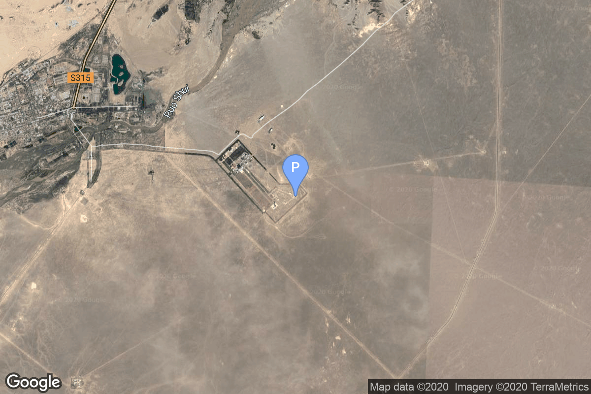
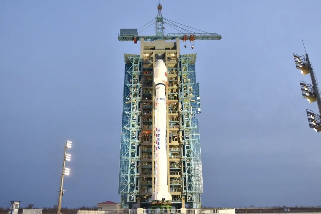
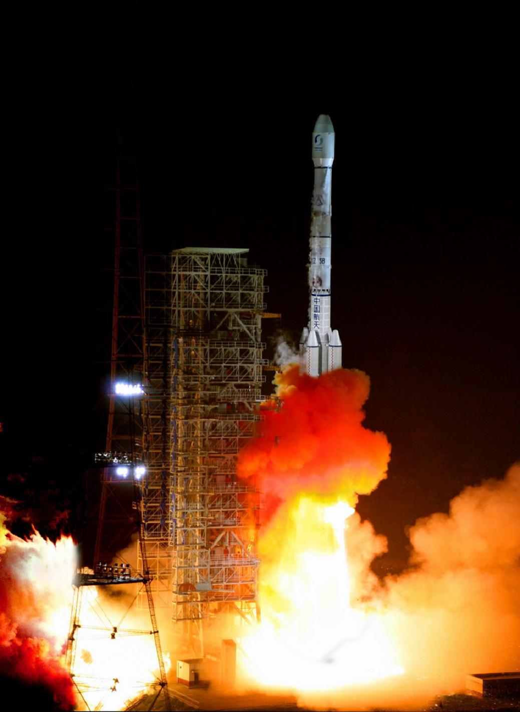
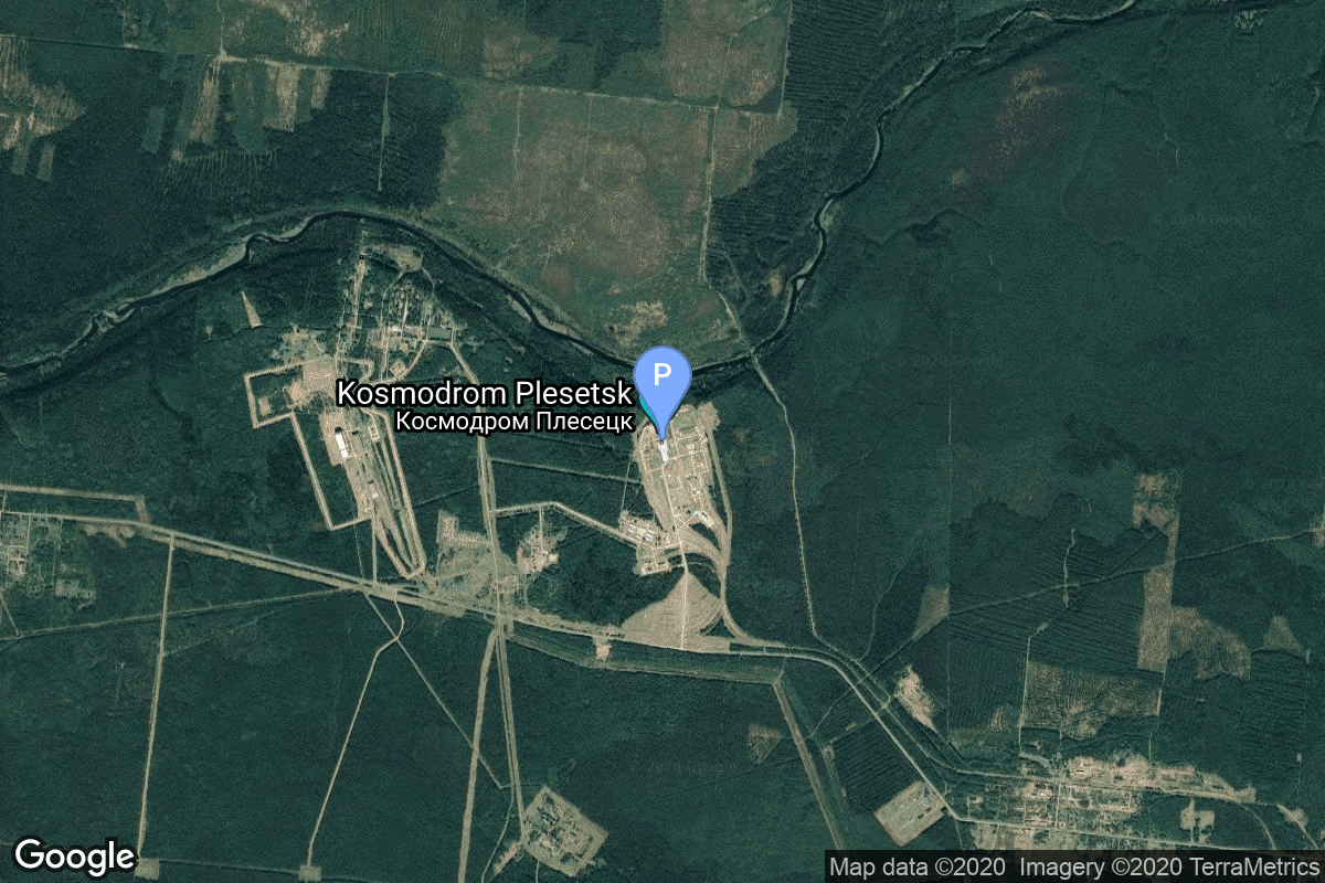
{ "count": 7925, "next": "https://ll.thespacedevs.com/2.2.0/launch/?format=api&limit=10&offset=3350&ordering=-id", "previous": "https://ll.thespacedevs.com/2.2.0/launch/?format=api&limit=10&offset=3330&ordering=-id", "results": [ { "id": "94028988-ecfe-4738-ab1d-2771328e5a9e", "url": "https://ll.thespacedevs.com/2.2.0/launch/94028988-ecfe-4738-ab1d-2771328e5a9e/?format=api", "slug": "voskhod-zenit-2m-8", "name": "Voskhod | Zenit-2M 8", "status": { "id": 3, "name": "Launch Successful", "abbrev": "Success", "description": "The launch vehicle successfully inserted its payload(s) into the target orbit(s)." }, "last_updated": "2023-06-14T04:11:02Z", "net": "1970-04-03T08:30:00Z", "window_end": "1970-04-03T08:30:00Z", "window_start": "1970-04-03T08:30:00Z", "net_precision": null, "probability": null, "weather_concerns": null, "holdreason": "", "failreason": null, "hashtag": null, "launch_service_provider": { "id": 66, "url": "https://ll.thespacedevs.com/2.2.0/agencies/66/?format=api", "name": "Soviet Space Program", "type": "Government" }, "rocket": { "id": 3996, "configuration": { "id": 104, "url": "https://ll.thespacedevs.com/2.2.0/config/launcher/104/?format=api", "name": "Voskhod", "family": "R-7", "full_name": "Voskhod", "variant": "Voskhod" } }, "mission": { "id": 2414, "name": "Zenit-2M 8", "description": "The soviet Zenit-2M (Gektor, 11F690) was an improved version of the Zenit-2 area surveillance reconnaissance satellite. It was part of the Vostok-based Zenit-family.", "launch_designator": null, "type": "Government/Top Secret", "orbit": { "id": 8, "name": "Low Earth Orbit", "abbrev": "LEO" }, "agencies": [], "info_urls": [], "vid_urls": [] }, "pad": { "id": 85, "url": "https://ll.thespacedevs.com/2.2.0/pad/85/?format=api", "agency_id": 163, "name": "43/4 (43R)", "description": "", "info_url": null, "wiki_url": null, "map_url": "https://www.google.com/maps?q=62.92883,40.457098", "latitude": "62.92883", "longitude": "40.457098", "location": { "id": 6, "url": "https://ll.thespacedevs.com/2.2.0/location/6/?format=api", "name": "Plesetsk Cosmodrome, Russian Federation", "country_code": "RUS", "description": "Plesetsk Cosmodrome is a Russian spaceport located in Mirny, Arkhangelsk Oblast, about 800 km north of Moscow and approximately 200 km south of Arkhangelsk. Originally developed as an ICBM site for the R-7 missile, it also served for numerous satellite launches using the R-7 and other rockets. Its high latitude makes it useful only for certain types of launches, especially the Molniya orbits, so for much of the site's history it functioned as a secondary location, with most orbital launches taking place from Baikonur, in the Kazakh SSR. With the end of the Soviet Union, Baikonur became a foreign territory, and Kazakhstan charged $115 million usage fees annually. Consequently, Plesetsk has seen considerably more activity since the 2000s.", "map_image": "https://thespacedevs-prod.nyc3.digitaloceanspaces.com/media/map_images/location_6_20200803142434.jpg", "timezone_name": "Europe/Moscow", "total_launch_count": 1685, "total_landing_count": 0 }, "country_code": "RUS", "map_image": "https://thespacedevs-prod.nyc3.digitaloceanspaces.com/media/map_images/pad_85_20200803143554.jpg", "total_launch_count": 328, "orbital_launch_attempt_count": 328 }, "webcast_live": false, "image": "https://thespacedevs-prod.nyc3.digitaloceanspaces.com/media/images/voskhod_during__image_20251102062248.jpg", "infographic": null, "program": [], "orbital_launch_attempt_count": 1071, "location_launch_attempt_count": 121, "pad_launch_attempt_count": 5, "agency_launch_attempt_count": 469, "orbital_launch_attempt_count_year": 25, "location_launch_attempt_count_year": 13, "pad_launch_attempt_count_year": 4, "agency_launch_attempt_count_year": 16, "type": "normal" }, { "id": "93f4bcaf-3a7e-4a60-bdee-3c9926fca412", "url": "https://ll.thespacedevs.com/2.2.0/launch/93f4bcaf-3a7e-4a60-bdee-3c9926fca412/?format=api", "slug": "long-march-4c-shiyan-20a-20b", "name": "Long March 4C | Shiyan 20A & 20B", "status": { "id": 3, "name": "Launch Successful", "abbrev": "Success", "description": "The launch vehicle successfully inserted its payload(s) into the target orbit(s)." }, "last_updated": "2023-06-14T15:48:14Z", "net": "2022-12-12T08:22:00Z", "window_end": "2022-12-12T08:43:00Z", "window_start": "2022-12-12T08:14:00Z", "net_precision": null, "probability": null, "weather_concerns": null, "holdreason": "", "failreason": "", "hashtag": null, "launch_service_provider": { "id": 88, "url": "https://ll.thespacedevs.com/2.2.0/agencies/88/?format=api", "name": "China Aerospace Science and Technology Corporation", "type": "Government" }, "rocket": { "id": 7728, "configuration": { "id": 64, "url": "https://ll.thespacedevs.com/2.2.0/config/launcher/64/?format=api", "name": "Long March 4C", "family": "Long March", "full_name": "Long March 4C", "variant": "C" } }, "mission": { "id": 6249, "name": "Shiyan 20A & 20B", "description": "Chinese classified satellites of unknown purposes.", "launch_designator": null, "type": "Government/Top Secret", "orbit": { "id": 8, "name": "Low Earth Orbit", "abbrev": "LEO" }, "agencies": [], "info_urls": [], "vid_urls": [] }, "pad": { "id": 22, "url": "https://ll.thespacedevs.com/2.2.0/pad/22/?format=api", "agency_id": null, "name": "Launch Area 94 (SLS-2 / 603)", "description": "", "info_url": null, "wiki_url": "https://en.wikipedia.org/wiki/Jiuquan_Launch_Area_4", "map_url": "https://www.google.com/maps?q=40.960482,100.298059", "latitude": "40.960482", "longitude": "100.298059", "location": { "id": 17, "url": "https://ll.thespacedevs.com/2.2.0/location/17/?format=api", "name": "Jiuquan Satellite Launch Center, People's Republic of China", "country_code": "CHN", "description": "Jiuquan Satellite Launch Center is a Chinese spaceport located between the Ejin, Alxa, Inner Mongolia and Hangtian Town, Jinta County, Jiuquan, Gansu Province. It is part of the Dongfeng Aerospace City (Base 10).", "map_image": "https://thespacedevs-prod.nyc3.digitaloceanspaces.com/media/map_images/location_17_20200803142429.jpg", "timezone_name": "Asia/Shanghai", "total_launch_count": 291, "total_landing_count": 2 }, "country_code": "CHN", "map_image": "https://thespacedevs-prod.nyc3.digitaloceanspaces.com/media/map_images/pad_22_20200803143437.jpg", "total_launch_count": 137, "orbital_launch_attempt_count": 137 }, "webcast_live": false, "image": "https://thespacedevs-prod.nyc3.digitaloceanspaces.com/media/images/long_march_4c_image_20230801172338.jpeg", "infographic": null, "program": [], "orbital_launch_attempt_count": 6356, "location_launch_attempt_count": 181, "pad_launch_attempt_count": 96, "agency_launch_attempt_count": 401, "orbital_launch_attempt_count_year": 174, "location_launch_attempt_count_year": 24, "pad_launch_attempt_count_year": 13, "agency_launch_attempt_count_year": 49, "type": "normal" }, { "id": "93f37c4a-f5d5-4c5d-b21a-a618c8540918", "url": "https://ll.thespacedevs.com/2.2.0/launch/93f37c4a-f5d5-4c5d-b21a-a618c8540918/?format=api", "slug": "falcon-9-block-5-starlink-group-11-22", "name": "Falcon 9 Block 5 | Starlink Group 11-22", "status": { "id": 3, "name": "Launch Successful", "abbrev": "Success", "description": "The launch vehicle successfully inserted its payload(s) into the target orbit(s)." }, "last_updated": "2025-06-05T03:04:01Z", "net": "2025-06-04T23:40:30Z", "window_end": "2025-06-05T02:19:00Z", "window_start": "2025-06-04T23:28:00Z", "net_precision": { "id": 0, "name": "Second", "abbrev": "SEC", "description": "The T-0 is accurate to the second." }, "probability": null, "weather_concerns": null, "holdreason": "", "failreason": "", "hashtag": null, "launch_service_provider": { "id": 121, "url": "https://ll.thespacedevs.com/2.2.0/agencies/121/?format=api", "name": "SpaceX", "type": "Commercial" }, "rocket": { "id": 8625, "configuration": { "id": 164, "url": "https://ll.thespacedevs.com/2.2.0/config/launcher/164/?format=api", "name": "Falcon 9", "family": "Falcon", "full_name": "Falcon 9 Block 5", "variant": "Block 5" } }, "mission": { "id": 7217, "name": "Starlink Group 11-22", "description": "A batch of 27 satellites for the Starlink mega-constellation - SpaceX's project for space-based Internet communication system.", "launch_designator": null, "type": "Communications", "orbit": { "id": 8, "name": "Low Earth Orbit", "abbrev": "LEO" }, "agencies": [ { "id": 121, "url": "https://ll.thespacedevs.com/2.2.0/agencies/121/?format=api", "name": "SpaceX", "featured": true, "type": "Commercial", "country_code": "USA", "abbrev": "SpX", "description": "Space Exploration Technologies Corp., known as SpaceX, is an American aerospace manufacturer and space transport services company headquartered in Hawthorne, California. It was founded in 2002 by entrepreneur Elon Musk with the goal of reducing space transportation costs and enabling the colonization of Mars. SpaceX operates from many pads, on the East Coast of the US they operate from SLC-40 at Cape Canaveral Space Force Station and historic LC-39A at Kennedy Space Center. They also operate from SLC-4E at Vandenberg Space Force Base, California, usually for polar launches. Another launch site is being developed at Boca Chica, Texas.", "administrator": "CEO: Elon Musk", "founding_year": "2002", "launchers": "Falcon | Starship", "spacecraft": "Dragon", "launch_library_url": null, "total_launch_count": 704, "consecutive_successful_launches": 189, "successful_launches": 689, "failed_launches": 15, "pending_launches": 128, "consecutive_successful_landings": 25, "successful_landings": 649, "failed_landings": 28, "attempted_landings": 676, "info_url": "https://www.spacex.com/", "wiki_url": "https://en.wikipedia.org/wiki/SpaceX", "logo_url": "https://thespacedevs-prod.nyc3.digitaloceanspaces.com/media/images/spacex_logo_20220826094919.png", "image_url": "https://thespacedevs-prod.nyc3.digitaloceanspaces.com/media/images/falcon_9_image_20230807133459.jpeg", "nation_url": "https://thespacedevs-prod.nyc3.digitaloceanspaces.com/media/images/spacex_social_l_image_20260407054626.jpg" } ], "info_urls": [], "vid_urls": [] }, "pad": { "id": 16, "url": "https://ll.thespacedevs.com/2.2.0/pad/16/?format=api", "agency_id": null, "name": "Space Launch Complex 4E", "description": "Space Launch Complex 4 East (SLC-4E) is a launch site at Vandenberg Space Force Base, California, U.S.\r\n\r\nThe pad was previously used by Atlas and Titan rockets between 1963 and 2005. The pad was built for use by Atlas-Agena rockets, but was later rebuilt to handle Titan rockets.", "info_url": null, "wiki_url": "https://en.wikipedia.org/wiki/Vandenberg_Space_Launch_Complex_4#SLC-4E", "map_url": "https://www.google.com/maps?q=34.632,-120.611", "latitude": "34.632", "longitude": "-120.611", "location": { "id": 11, "url": "https://ll.thespacedevs.com/2.2.0/location/11/?format=api", "name": "Vandenberg SFB, CA, USA", "country_code": "USA", "description": "Vandenberg Space Force Base is a United States Space Force Base in Santa Barbara County, California. Established in 1941, Vandenberg Space Force Base is a space launch base, launching spacecraft from the Western Range, and also performs missile testing. The United States Space Force's Space Launch Delta 30 serves as the host delta for the base, equivalent to an Air Force air base wing. In addition to its military space launch mission, Vandenberg Space Force Base also hosts space launches for civil and commercial space entities, such as NASA and SpaceX.", "map_image": "https://thespacedevs-prod.nyc3.digitaloceanspaces.com/media/map_images/location_11_20200803142416.jpg", "timezone_name": "America/Los_Angeles", "total_launch_count": 898, "total_landing_count": 35 }, "country_code": "USA", "map_image": "https://thespacedevs-prod.nyc3.digitaloceanspaces.com/media/map_images/pad_16_20200803143532.jpg", "total_launch_count": 282, "orbital_launch_attempt_count": 282 }, "webcast_live": false, "image": "https://thespacedevs-prod.nyc3.digitaloceanspaces.com/media/images/falcon2520925_image_20221009234147.png", "infographic": null, "program": [ { "id": 25, "url": "https://ll.thespacedevs.com/2.2.0/program/25/?format=api", "name": "Starlink", "description": "Starlink is a satellite internet constellation operated by American aerospace company SpaceX", "agencies": [ { "id": 121, "url": "https://ll.thespacedevs.com/2.2.0/agencies/121/?format=api", "name": "SpaceX", "type": "Commercial" } ], "image_url": "https://thespacedevs-prod.nyc3.digitaloceanspaces.com/media/images/starlink_program_20231228154508.jpeg", "start_date": "2018-02-22T14:17:00Z", "end_date": null, "info_url": "https://starlink.com", "wiki_url": "https://en.wikipedia.org/wiki/Starlink", "mission_patches": [ { "id": 7, "name": "Space X Starlink Mission Patch", "priority": 10, "image_url": "https://thespacedevs-prod.nyc3.digitaloceanspaces.com/media/mission_patch_images/space2520x252_mission_patch_20221011205756.png", "agency": { "id": 121, "url": "https://ll.thespacedevs.com/2.2.0/agencies/121/?format=api", "name": "SpaceX", "type": "Commercial" } } ], "type": { "id": 3, "name": "Communication Constellation" } } ], "orbital_launch_attempt_count": 6973, "location_launch_attempt_count": 811, "pad_launch_attempt_count": 197, "agency_launch_attempt_count": 520, "orbital_launch_attempt_count_year": 124, "location_launch_attempt_count_year": 25, "pad_launch_attempt_count_year": 23, "agency_launch_attempt_count_year": 71, "type": "normal" }, { "id": "93ef5bfc-285a-4d18-8ca6-0fc8a6d8cc8b", "url": "https://ll.thespacedevs.com/2.2.0/launch/93ef5bfc-285a-4d18-8ca6-0fc8a6d8cc8b/?format=api", "slug": "long-march-3b-zhongxing-6b", "name": "Long March 3B | Zhongxing 6B", "status": { "id": 3, "name": "Launch Successful", "abbrev": "Success", "description": "The launch vehicle successfully inserted its payload(s) into the target orbit(s)." }, "last_updated": "2023-08-04T03:43:43Z", "net": "2007-07-05T12:08:00Z", "window_end": "2007-07-05T12:08:00Z", "window_start": "2007-07-05T12:08:00Z", "net_precision": null, "probability": null, "weather_concerns": null, "holdreason": "", "failreason": "", "hashtag": null, "launch_service_provider": { "id": 88, "url": "https://ll.thespacedevs.com/2.2.0/agencies/88/?format=api", "name": "China Aerospace Science and Technology Corporation", "type": "Government" }, "rocket": { "id": 7323, "configuration": { "id": 19, "url": "https://ll.thespacedevs.com/2.2.0/config/launcher/19/?format=api", "name": "Long March 3B", "family": "Long March", "full_name": "Long March 3B", "variant": "B" } }, "mission": { "id": 5712, "name": "Zhongxing 6B", "description": "Chinese geostationary communications satellite", "launch_designator": null, "type": "Communications", "orbit": { "id": 1, "name": "Geostationary Orbit", "abbrev": "Direct-GEO" }, "agencies": [], "info_urls": [], "vid_urls": [] }, "pad": { "id": 45, "url": "https://ll.thespacedevs.com/2.2.0/pad/45/?format=api", "agency_id": null, "name": "Launch Complex 2 (LC-2)", "description": "", "info_url": null, "wiki_url": "https://en.wikipedia.org/wiki/Xichang_Satellite_Launch_Center", "map_url": "https://www.google.com/maps?q=28.245504,102.026768", "latitude": "28.245504", "longitude": "102.026768", "location": { "id": 16, "url": "https://ll.thespacedevs.com/2.2.0/location/16/?format=api", "name": "Xichang Satellite Launch Center, People's Republic of China", "country_code": "CHN", "description": "The Xichang Satellite Launch Center is a spaceport in China. It is located in Zeyuan Town, northwest of Xichang, Liangshan Yi Autonomous Prefecture in Sichuan.", "map_image": "https://thespacedevs-prod.nyc3.digitaloceanspaces.com/media/map_images/location_16_20200803142513.jpg", "timezone_name": "Asia/Shanghai", "total_launch_count": 241, "total_landing_count": 0 }, "country_code": "CHN", "map_image": "https://thespacedevs-prod.nyc3.digitaloceanspaces.com/media/map_images/pad_45_20200803143520.jpg", "total_launch_count": 125, "orbital_launch_attempt_count": 125 }, "webcast_live": false, "image": "https://thespacedevs-prod.nyc3.digitaloceanspaces.com/media/images/long2520march25203_image_20200102181012.jpg", "infographic": null, "program": [], "orbital_launch_attempt_count": 4850, "location_launch_attempt_count": 46, "pad_launch_attempt_count": 28, "agency_launch_attempt_count": 47, "orbital_launch_attempt_count_year": 33, "location_launch_attempt_count_year": 5, "pad_launch_attempt_count_year": 3, "agency_launch_attempt_count_year": 7, "type": "normal" }, { "id": "93ea1c3f-c83f-4f3a-8fe1-f38bf68f2b30", "url": "https://ll.thespacedevs.com/2.2.0/launch/93ea1c3f-c83f-4f3a-8fe1-f38bf68f2b30/?format=api", "slug": "soyuz-u-zenit-8-53", "name": "Soyuz U | Zenit-8 53", "status": { "id": 3, "name": "Launch Successful", "abbrev": "Success", "description": "The launch vehicle successfully inserted its payload(s) into the target orbit(s)." }, "last_updated": "2023-06-14T03:48:27Z", "net": "1987-10-09T08:30:00Z", "window_end": "1987-10-09T08:30:00Z", "window_start": "1987-10-09T08:30:00Z", "net_precision": null, "probability": null, "weather_concerns": null, "holdreason": "", "failreason": null, "hashtag": null, "launch_service_provider": { "id": 66, "url": "https://ll.thespacedevs.com/2.2.0/agencies/66/?format=api", "name": "Soviet Space Program", "type": "Government" }, "rocket": { "id": 6006, "configuration": { "id": 37, "url": "https://ll.thespacedevs.com/2.2.0/config/launcher/37/?format=api", "name": "Soyuz U", "family": "Soyuz", "full_name": "Soyuz U", "variant": "" } }, "mission": { "id": 4397, "name": "Zenit-8 53", "description": "Film-return reconnaissance satellite", "launch_designator": null, "type": "Government/Top Secret", "orbit": { "id": 8, "name": "Low Earth Orbit", "abbrev": "LEO" }, "agencies": [], "info_urls": [], "vid_urls": [] }, "pad": { "id": 32, "url": "https://ll.thespacedevs.com/2.2.0/pad/32/?format=api", "agency_id": null, "name": "1/5", "description": null, "info_url": null, "wiki_url": "", "map_url": "https://www.google.com/maps?q=45.92,63.342", "latitude": "45.92", "longitude": "63.342", "location": { "id": 15, "url": "https://ll.thespacedevs.com/2.2.0/location/15/?format=api", "name": "Baikonur Cosmodrome, Republic of Kazakhstan", "country_code": "KAZ", "description": "The Baikonur Cosmodrome is a spaceport operated by Russia within Kazakhstan. Located in the Kazakh city of Baikonur, it is the largest operational space launch facility in terms of area. All Russian crewed spaceflights are launched from Baikonur.", "map_image": "https://thespacedevs-prod.nyc3.digitaloceanspaces.com/media/map_images/location_15_20200803142517.jpg", "timezone_name": "Asia/Qyzylorda", "total_launch_count": 1564, "total_landing_count": 0 }, "country_code": "KAZ", "map_image": "https://thespacedevs-prod.nyc3.digitaloceanspaces.com/media/map_images/pad_32_20200803143513.jpg", "total_launch_count": 487, "orbital_launch_attempt_count": 487 }, "webcast_live": false, "image": "https://thespacedevs-prod.nyc3.digitaloceanspaces.com/media/images/soyuz2520u_image_20190222031023.jpeg", "infographic": null, "program": [], "orbital_launch_attempt_count": 3228, "location_launch_attempt_count": 835, "pad_launch_attempt_count": 245, "agency_launch_attempt_count": 2125, "orbital_launch_attempt_count_year": 89, "location_launch_attempt_count_year": 35, "pad_launch_attempt_count_year": 13, "agency_launch_attempt_count_year": 75, "type": "normal" }, { "id": "93d04314-58d9-4359-86a4-b7a4322c23d4", "url": "https://ll.thespacedevs.com/2.2.0/launch/93d04314-58d9-4359-86a4-b7a4322c23d4/?format=api", "slug": "soyuz-u-yantar-4k2-36", "name": "Soyuz U | Yantar-4K2 36", "status": { "id": 3, "name": "Launch Successful", "abbrev": "Success", "description": "The launch vehicle successfully inserted its payload(s) into the target orbit(s)." }, "last_updated": "2023-06-14T03:41:32Z", "net": "1988-02-03T12:14:56Z", "window_end": "1988-02-03T12:14:56Z", "window_start": "1988-02-03T12:14:56Z", "net_precision": null, "probability": null, "weather_concerns": null, "holdreason": "", "failreason": null, "hashtag": null, "launch_service_provider": { "id": 66, "url": "https://ll.thespacedevs.com/2.2.0/agencies/66/?format=api", "name": "Soviet Space Program", "type": "Government" }, "rocket": { "id": 6036, "configuration": { "id": 37, "url": "https://ll.thespacedevs.com/2.2.0/config/launcher/37/?format=api", "name": "Soyuz U", "family": "Soyuz", "full_name": "Soyuz U", "variant": "" } }, "mission": { "id": 4427, "name": "Yantar-4K2 36", "description": "Film-return reconnaissance satellite", "launch_designator": null, "type": "Government/Top Secret", "orbit": { "id": 8, "name": "Low Earth Orbit", "abbrev": "LEO" }, "agencies": [], "info_urls": [], "vid_urls": [] }, "pad": { "id": 20, "url": "https://ll.thespacedevs.com/2.2.0/pad/20/?format=api", "agency_id": null, "name": "31/6", "description": "", "info_url": null, "wiki_url": "https://en.wikipedia.org/wiki/Baikonur_Cosmodrome_Site_31", "map_url": "https://www.google.com/maps?q=45.996034,63.564003", "latitude": "45.996034", "longitude": "63.564003", "location": { "id": 15, "url": "https://ll.thespacedevs.com/2.2.0/location/15/?format=api", "name": "Baikonur Cosmodrome, Republic of Kazakhstan", "country_code": "KAZ", "description": "The Baikonur Cosmodrome is a spaceport operated by Russia within Kazakhstan. Located in the Kazakh city of Baikonur, it is the largest operational space launch facility in terms of area. All Russian crewed spaceflights are launched from Baikonur.", "map_image": "https://thespacedevs-prod.nyc3.digitaloceanspaces.com/media/map_images/location_15_20200803142517.jpg", "timezone_name": "Asia/Qyzylorda", "total_launch_count": 1564, "total_landing_count": 0 }, "country_code": "KAZ", "map_image": "https://thespacedevs-prod.nyc3.digitaloceanspaces.com/media/map_images/pad_20_20200803143516.jpg", "total_launch_count": 429, "orbital_launch_attempt_count": 429 }, "webcast_live": false, "image": "https://thespacedevs-prod.nyc3.digitaloceanspaces.com/media/images/soyuz2520u_image_20190222031023.jpeg", "infographic": null, "program": [], "orbital_launch_attempt_count": 3261, "location_launch_attempt_count": 851, "pad_launch_attempt_count": 302, "agency_launch_attempt_count": 2154, "orbital_launch_attempt_count_year": 8, "location_launch_attempt_count_year": 3, "pad_launch_attempt_count_year": 1, "agency_launch_attempt_count_year": 7, "type": "normal" }, { "id": "93cd9d2d-d8e2-49a1-8a85-a0eb8aef4804", "url": "https://ll.thespacedevs.com/2.2.0/launch/93cd9d2d-d8e2-49a1-8a85-a0eb8aef4804/?format=api", "slug": "zhuque-2e-block-2-2-x-satnet-dtc-test-satellites", "name": "Zhuque-2E Block 2 | 2 x SatNet DTC test satellites", "status": { "id": 3, "name": "Launch Successful", "abbrev": "Success", "description": "The launch vehicle successfully inserted its payload(s) into the target orbit(s)." }, "last_updated": "2026-06-10T21:44:18Z", "net": "2026-06-09T08:23:00Z", "window_end": "2026-06-09T08:55:00Z", "window_start": "2026-06-09T08:11:00Z", "net_precision": { "id": 1, "name": "Minute", "abbrev": "MIN", "description": "The T-0 is accurate to the minute." }, "probability": null, "weather_concerns": null, "holdreason": "", "failreason": "", "hashtag": null, "launch_service_provider": { "id": 259, "url": "https://ll.thespacedevs.com/2.2.0/agencies/259/?format=api", "name": "LandSpace", "type": "Commercial" }, "rocket": { "id": 9042, "configuration": { "id": 556, "url": "https://ll.thespacedevs.com/2.2.0/config/launcher/556/?format=api", "name": "Zhuque-2E Block 2", "family": "Zhuque", "full_name": "Zhuque-2E Block 2", "variant": "2E Block 2" } }, "mission": { "id": 7637, "name": "2 x SatNet DTC test satellites", "description": "A pair of demonstration satellites for Direct-To-Cell (DTC) communications from Low Earth Orbit for SpaceSail and China Mobile:\r\n\r\n* SpaceSail DTC 01\r\n\r\n* CMCC-02", "launch_designator": null, "type": "Communications", "orbit": { "id": 8, "name": "Low Earth Orbit", "abbrev": "LEO" }, "agencies": [], "info_urls": [], "vid_urls": [] }, "pad": { "id": 9, "url": "https://ll.thespacedevs.com/2.2.0/pad/9/?format=api", "agency_id": 259, "name": "Launch Area 96A", "description": "", "info_url": null, "wiki_url": "https://en.wikipedia.org/wiki/LandSpace", "map_url": "https://www.google.com/maps?q=40.91491,100.245488", "latitude": "40.91491", "longitude": "100.245488", "location": { "id": 17, "url": "https://ll.thespacedevs.com/2.2.0/location/17/?format=api", "name": "Jiuquan Satellite Launch Center, People's Republic of China", "country_code": "CHN", "description": "Jiuquan Satellite Launch Center is a Chinese spaceport located between the Ejin, Alxa, Inner Mongolia and Hangtian Town, Jinta County, Jiuquan, Gansu Province. It is part of the Dongfeng Aerospace City (Base 10).", "map_image": "https://thespacedevs-prod.nyc3.digitaloceanspaces.com/media/map_images/location_17_20200803142429.jpg", "timezone_name": "Asia/Shanghai", "total_launch_count": 291, "total_landing_count": 2 }, "country_code": "CHN", "map_image": "https://thespacedevs-prod.nyc3.digitaloceanspaces.com/media/map_images/pad_9_20200803143341.jpg", "total_launch_count": 8, "orbital_launch_attempt_count": 8 }, "webcast_live": false, "image": "https://thespacedevs-prod.nyc3.digitaloceanspaces.com/media/images/zhuque-2e_y6_la_image_20260609122825.jpeg", "infographic": null, "program": [], "orbital_launch_attempt_count": 7306, "location_launch_attempt_count": 288, "pad_launch_attempt_count": 8, "agency_launch_attempt_count": 10, "orbital_launch_attempt_count_year": 133, "location_launch_attempt_count_year": 15, "pad_launch_attempt_count_year": 2, "agency_launch_attempt_count_year": 2, "type": "normal" }, { "id": "93c58e49-62ae-4cac-9fde-95975db6c4ea", "url": "https://ll.thespacedevs.com/2.2.0/launch/93c58e49-62ae-4cac-9fde-95975db6c4ea/?format=api", "slug": "long-march-11-zhuhai-1-03", "name": "Long March 11 | Zhuhai-1-03", "status": { "id": 3, "name": "Launch Successful", "abbrev": "Success", "description": "The launch vehicle successfully inserted its payload(s) into the target orbit(s)." }, "last_updated": "2023-07-08T08:28:05Z", "net": "2019-09-19T06:42:00Z", "window_end": "2019-09-19T07:20:00Z", "window_start": "2019-09-19T06:37:00Z", "net_precision": null, "probability": null, "weather_concerns": null, "holdreason": "", "failreason": "", "hashtag": null, "launch_service_provider": { "id": 88, "url": "https://ll.thespacedevs.com/2.2.0/agencies/88/?format=api", "name": "China Aerospace Science and Technology Corporation", "type": "Government" }, "rocket": { "id": 2515, "configuration": { "id": 47, "url": "https://ll.thespacedevs.com/2.2.0/config/launcher/47/?format=api", "name": "Long March 11", "family": "Long March", "full_name": "Long March 11", "variant": "" } }, "mission": null, "pad": { "id": 21, "url": "https://ll.thespacedevs.com/2.2.0/pad/21/?format=api", "agency_id": null, "name": "Launch Area 95A", "description": "", "info_url": null, "wiki_url": "https://en.wikipedia.org/wiki/Jiuquan_Satellite_Launch_Center", "map_url": "https://www.google.com/maps?q=40.969117,100.343333", "latitude": "40.969117", "longitude": "100.343333", "location": { "id": 17, "url": "https://ll.thespacedevs.com/2.2.0/location/17/?format=api", "name": "Jiuquan Satellite Launch Center, People's Republic of China", "country_code": "CHN", "description": "Jiuquan Satellite Launch Center is a Chinese spaceport located between the Ejin, Alxa, Inner Mongolia and Hangtian Town, Jinta County, Jiuquan, Gansu Province. It is part of the Dongfeng Aerospace City (Base 10).", "map_image": "https://thespacedevs-prod.nyc3.digitaloceanspaces.com/media/map_images/location_17_20200803142429.jpg", "timezone_name": "Asia/Shanghai", "total_launch_count": 291, "total_landing_count": 2 }, "country_code": "CHN", "map_image": "https://thespacedevs-prod.nyc3.digitaloceanspaces.com/media/map_images/pad_21_20200803143253.jpg", "total_launch_count": 67, "orbital_launch_attempt_count": 67 }, "webcast_live": false, "image": "https://thespacedevs-prod.nyc3.digitaloceanspaces.com/media/images/long2520march252011_image_20190222031217.jpeg", "infographic": null, "program": [], "orbital_launch_attempt_count": 5885, "location_launch_attempt_count": 119, "pad_launch_attempt_count": 14, "agency_launch_attempt_count": 258, "orbital_launch_attempt_count_year": 65, "location_launch_attempt_count_year": 6, "pad_launch_attempt_count_year": 6, "agency_launch_attempt_count_year": 14, "type": "normal" }, { "id": "93bd93e5-4f5c-4730-b65e-11f9770168ca", "url": "https://ll.thespacedevs.com/2.2.0/launch/93bd93e5-4f5c-4730-b65e-11f9770168ca/?format=api", "slug": "ceres-1-tianqi-11", "name": "Ceres-1 | Tianqi-11", "status": { "id": 3, "name": "Launch Successful", "abbrev": "Success", "description": "The launch vehicle successfully inserted its payload(s) into the target orbit(s)." }, "last_updated": "2023-07-08T08:42:03Z", "net": "2020-11-07T07:12:00Z", "window_end": "2020-11-07T07:42:00Z", "window_start": "2020-11-07T07:06:00Z", "net_precision": null, "probability": null, "weather_concerns": null, "holdreason": "", "failreason": "", "hashtag": null, "launch_service_provider": { "id": 1021, "url": "https://ll.thespacedevs.com/2.2.0/agencies/1021/?format=api", "name": "Galactic Energy", "type": "Commercial" }, "rocket": { "id": 2806, "configuration": { "id": 461, "url": "https://ll.thespacedevs.com/2.2.0/config/launcher/461/?format=api", "name": "Ceres-1", "family": "Ceres-1", "full_name": "Ceres-1", "variant": "Ceres-1" } }, "mission": { "id": 1206, "name": "Tianqi-11", "description": "Tianqi (also transcribed Tiange) is a series of small Chinese experimental LEO comsats by Guodian Gaoke for IoT (Internet of Things) communications, which are also carrying a camera for educational purposes.\r\n\r\nGuodian Gaoke plans to operate an IoT constellation. The \"Apocalypse Constellation\" provides users with much-needed data collection and transmission services for terrestrial network coverage blind areas, which are widely used in marine, environmental protection, meteorological, forestry, geological, emergency, rescue and smart city industries to enhance China's global data network coverage and application capabilities are of strategic importance.", "launch_designator": null, "type": "Communications", "orbit": { "id": 17, "name": "Sun-Synchronous Orbit", "abbrev": "SSO" }, "agencies": [], "info_urls": [], "vid_urls": [] }, "pad": { "id": 21, "url": "https://ll.thespacedevs.com/2.2.0/pad/21/?format=api", "agency_id": null, "name": "Launch Area 95A", "description": "", "info_url": null, "wiki_url": "https://en.wikipedia.org/wiki/Jiuquan_Satellite_Launch_Center", "map_url": "https://www.google.com/maps?q=40.969117,100.343333", "latitude": "40.969117", "longitude": "100.343333", "location": { "id": 17, "url": "https://ll.thespacedevs.com/2.2.0/location/17/?format=api", "name": "Jiuquan Satellite Launch Center, People's Republic of China", "country_code": "CHN", "description": "Jiuquan Satellite Launch Center is a Chinese spaceport located between the Ejin, Alxa, Inner Mongolia and Hangtian Town, Jinta County, Jiuquan, Gansu Province. It is part of the Dongfeng Aerospace City (Base 10).", "map_image": "https://thespacedevs-prod.nyc3.digitaloceanspaces.com/media/map_images/location_17_20200803142429.jpg", "timezone_name": "Asia/Shanghai", "total_launch_count": 291, "total_landing_count": 2 }, "country_code": "CHN", "map_image": "https://thespacedevs-prod.nyc3.digitaloceanspaces.com/media/map_images/pad_21_20200803143253.jpg", "total_launch_count": 67, "orbital_launch_attempt_count": 67 }, "webcast_live": false, "image": "https://thespacedevs-prod.nyc3.digitaloceanspaces.com/media/images/ceres-1_image_20230722081939.jpeg", "infographic": null, "program": [], "orbital_launch_attempt_count": 6010, "location_launch_attempt_count": 134, "pad_launch_attempt_count": 21, "agency_launch_attempt_count": 1, "orbital_launch_attempt_count_year": 88, "location_launch_attempt_count_year": 12, "pad_launch_attempt_count_year": 5, "agency_launch_attempt_count_year": 1, "type": "normal" }, { "id": "93ba8ce2-7814-4e1f-b5c4-2cb0f24f7954", "url": "https://ll.thespacedevs.com/2.2.0/launch/93ba8ce2-7814-4e1f-b5c4-2cb0f24f7954/?format=api", "slug": "thor-agena-d-kh-4-13-rm-4", "name": "Thor Agena D | KH-4 13 & RM 4", "status": { "id": 3, "name": "Launch Successful", "abbrev": "Success", "description": "The launch vehicle successfully inserted its payload(s) into the target orbit(s)." }, "last_updated": "2023-06-14T03:52:51Z", "net": "1962-09-29T23:34:50Z", "window_end": "1962-09-29T23:34:50Z", "window_start": "1962-09-29T23:34:50Z", "net_precision": null, "probability": null, "weather_concerns": null, "holdreason": "", "failreason": null, "hashtag": null, "launch_service_provider": { "id": 161, "url": "https://ll.thespacedevs.com/2.2.0/agencies/161/?format=api", "name": "United States Air Force", "type": "Government" }, "rocket": { "id": 3157, "configuration": { "id": 393, "url": "https://ll.thespacedevs.com/2.2.0/config/launcher/393/?format=api", "name": "Thor Agena D", "family": "Thor", "full_name": "Thor Agena D", "variant": "Agena D" } }, "mission": { "id": 1579, "name": "KH-4 13 & RM 4", "description": "The KH-4 (Keyhole-4) was fourth version in the Corona-program to build an optical reconnaissance satellite. KH-4 13 carried the RM 4 radiometer payload (identical to RM 3) for background measurements for the MIDAS program.", "launch_designator": null, "type": "Government/Top Secret", "orbit": { "id": 8, "name": "Low Earth Orbit", "abbrev": "LEO" }, "agencies": [], "info_urls": [], "vid_urls": [] }, "pad": { "id": 39, "url": "https://ll.thespacedevs.com/2.2.0/pad/39/?format=api", "agency_id": null, "name": "Space Launch Complex 2W", "description": "SLC-2W was originally used for Delta, Thor-Agena and Delta II launches. After the last Delta II flight in 2018, SLC-2W was repurposed to launch Firefly Alpha rockets.", "info_url": null, "wiki_url": "https://en.wikipedia.org/wiki/Vandenberg_Space_Launch_Complex_2", "map_url": "https://www.google.com/maps?q=34.7556,-120.6224", "latitude": "34.7556", "longitude": "-120.6224", "location": { "id": 11, "url": "https://ll.thespacedevs.com/2.2.0/location/11/?format=api", "name": "Vandenberg SFB, CA, USA", "country_code": "USA", "description": "Vandenberg Space Force Base is a United States Space Force Base in Santa Barbara County, California. Established in 1941, Vandenberg Space Force Base is a space launch base, launching spacecraft from the Western Range, and also performs missile testing. The United States Space Force's Space Launch Delta 30 serves as the host delta for the base, equivalent to an Air Force air base wing. In addition to its military space launch mission, Vandenberg Space Force Base also hosts space launches for civil and commercial space entities, such as NASA and SpaceX.", "map_image": "https://thespacedevs-prod.nyc3.digitaloceanspaces.com/media/map_images/location_11_20200803142416.jpg", "timezone_name": "America/Los_Angeles", "total_launch_count": 898, "total_landing_count": 35 }, "country_code": "USA", "map_image": "https://thespacedevs-prod.nyc3.digitaloceanspaces.com/media/map_images/pad_39_20200803143542.jpg", "total_launch_count": 99, "orbital_launch_attempt_count": 99 }, "webcast_live": false, "image": "https://thespacedevs-prod.nyc3.digitaloceanspaces.com/media/images/thor-agena_d_2_image_20251204204127.jpg", "infographic": null, "program": [], "orbital_launch_attempt_count": 200, "location_launch_attempt_count": 72, "pad_launch_attempt_count": 2, "agency_launch_attempt_count": 111, "orbital_launch_attempt_count_year": 58, "location_launch_attempt_count_year": 28, "pad_launch_attempt_count_year": 2, "agency_launch_attempt_count_year": 40, "type": "normal" } ] }