Launch List
AN API endpoint that returns all Launch objects or a single launch.
EXAMPLE - /launch/[id]/ or /launch/?mode=list&search=SpaceX
GET Return a list of all Launch objects.
FILTERS Fields - 'name', 'id(s)', 'lsp__id', 'lsp__name', 'serial_number', 'launcher_config__id', 'rocket__spacecraftflight__spacecraft__name', 'is_crewed', 'include_suborbital', 'spacecraft_config__ids', 'related', 'location__ids', 'lsp__ids', 'pad__ids', 'status__ids'
MODE 'normal', 'list', 'detailed'
EXAMPLE ?mode=list
SEARCH Searches through the launch name, rocket name, launch agency, mission name & spacecraft name.
EXAMPLE - ?search=SpaceX
GET /2.2.0/launch/?format=api&offset=3260&ordering=-net
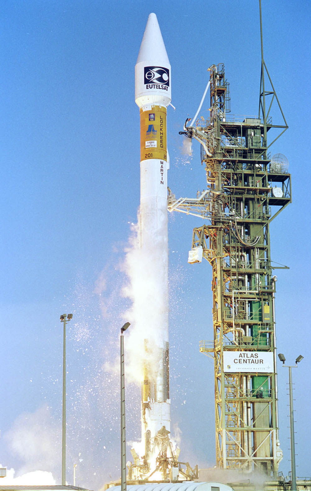
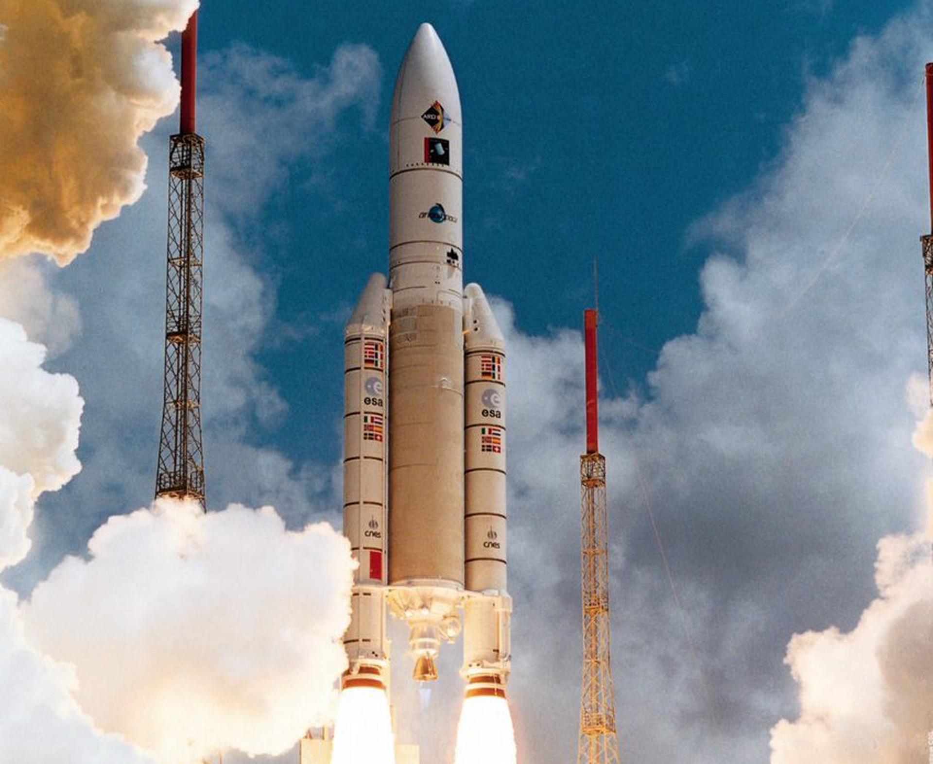
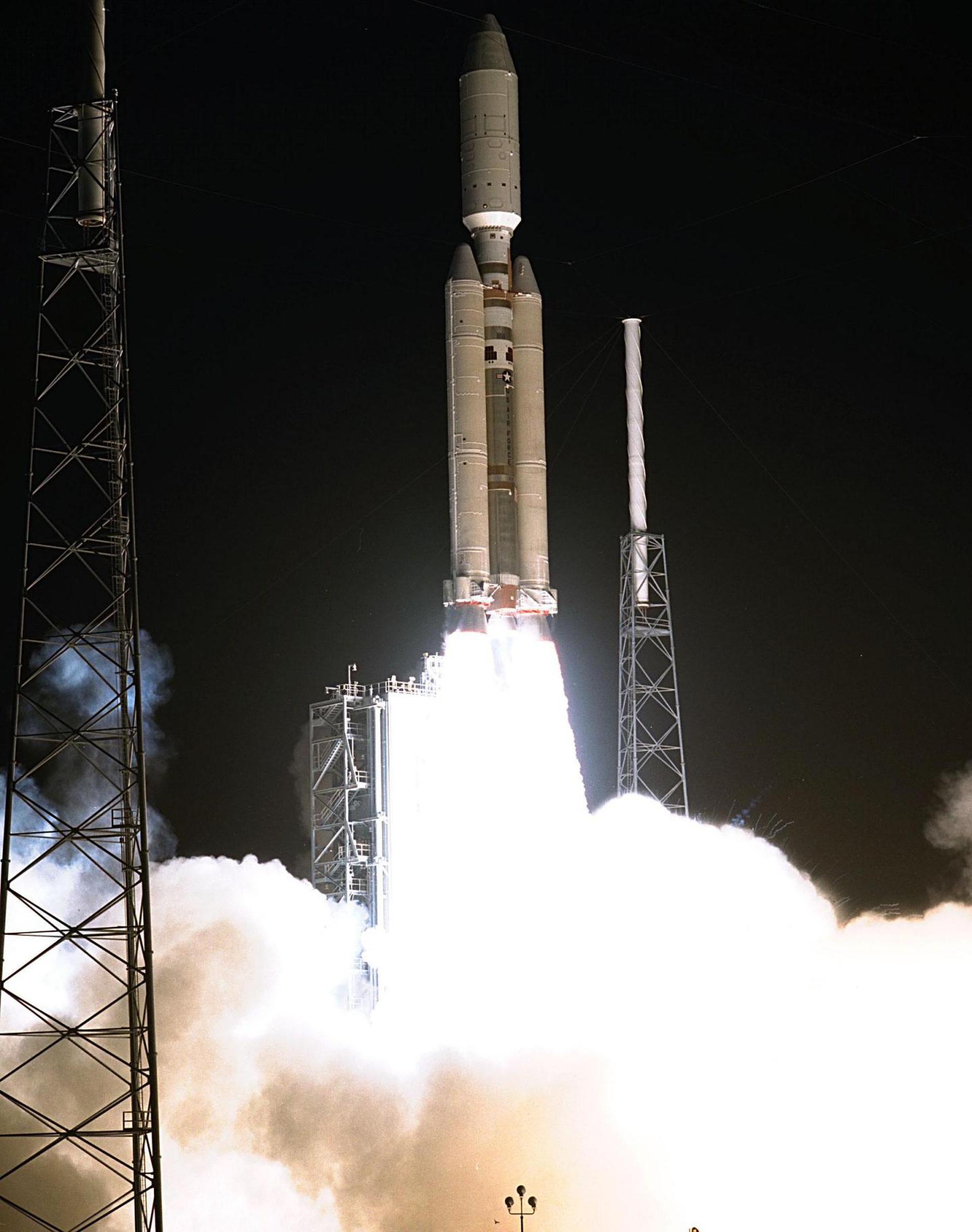
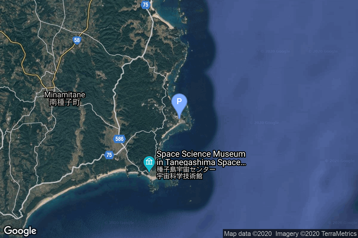
{ "count": 7916, "next": "https://ll.thespacedevs.com/2.2.0/launch/?format=api&limit=10&offset=3270&ordering=-net", "previous": "https://ll.thespacedevs.com/2.2.0/launch/?format=api&limit=10&offset=3250&ordering=-net", "results": [ { "id": "639b668d-e97a-4796-b571-7cf0261c6cee", "url": "https://ll.thespacedevs.com/2.2.0/launch/639b668d-e97a-4796-b571-7cf0261c6cee/?format=api", "slug": "atlas-asiasat-4", "name": "Atlas | Asiasat 4", "status": { "id": 3, "name": "Launch Successful", "abbrev": "Success", "description": "The launch vehicle successfully inserted its payload(s) into the target orbit(s)." }, "last_updated": "2023-06-14T17:39:58Z", "net": "2003-04-12T00:47:01Z", "window_end": "2003-04-12T00:47:01Z", "window_start": "2003-04-12T00:47:01Z", "net_precision": null, "probability": null, "weather_concerns": null, "holdreason": "", "failreason": "", "hashtag": null, "launch_service_provider": { "id": 82, "url": "https://ll.thespacedevs.com/2.2.0/agencies/82/?format=api", "name": "Lockheed Martin", "type": "Commercial" }, "rocket": { "id": 7129, "configuration": { "id": 472, "url": "https://ll.thespacedevs.com/2.2.0/config/launcher/472/?format=api", "name": "Atlas IIIB", "family": "Atlas", "full_name": "Atlas IIIB", "variant": "IIIB" } }, "mission": { "id": 5518, "name": "Asiasat 4", "description": "AsiaSat 4 is designed to provide broadcast, telecommunications and broadband multimedia services to the Asia Pacific region, and direct-to-home broadcast servic-es to Hong Kong", "launch_designator": null, "type": "Communications", "orbit": { "id": 3, "name": "Geosynchronous Orbit", "abbrev": "GSO" }, "agencies": [], "info_urls": [], "vid_urls": [] }, "pad": { "id": 122, "url": "https://ll.thespacedevs.com/2.2.0/pad/122/?format=api", "agency_id": 161, "name": "Launch Complex 36B", "description": null, "info_url": null, "wiki_url": "https://en.wikipedia.org/wiki/Cape_Canaveral_Launch_Complex_36", "map_url": "https://www.google.com/maps?q=28.4705556,-80.542194", "latitude": "28.4705556", "longitude": "-80.542194", "location": { "id": 12, "url": "https://ll.thespacedevs.com/2.2.0/location/12/?format=api", "name": "Cape Canaveral SFS, FL, USA", "country_code": "USA", "description": "Cape Canaveral Space Force Station (CCSFS) is an installation of the United States Space Force's Space Launch Delta 45, located on Cape Canaveral in Brevard County, Florida.", "map_image": "https://thespacedevs-prod.nyc3.digitaloceanspaces.com/media/map_images/location_12_20200803142519.jpg", "timezone_name": "America/New_York", "total_launch_count": 1116, "total_landing_count": 75 }, "country_code": "USA", "map_image": "https://thespacedevs-prod.nyc3.digitaloceanspaces.com/media/map_images/pad_122_20200803143232.jpg", "total_launch_count": 76, "orbital_launch_attempt_count": 76 }, "webcast_live": false, "image": "https://thespacedevs-prod.nyc3.digitaloceanspaces.com/media/images/atlas_iiia_image_20210901074920.jpg", "infographic": null, "program": [], "orbital_launch_attempt_count": 4590, "location_launch_attempt_count": 609, "pad_launch_attempt_count": 72, "agency_launch_attempt_count": 66, "orbital_launch_attempt_count_year": 14, "location_launch_attempt_count_year": 5, "pad_launch_attempt_count_year": 1, "agency_launch_attempt_count_year": 1, "type": "normal" }, { "id": "98d8aefb-1c4d-49d0-aac8-d106db1f72a9", "url": "https://ll.thespacedevs.com/2.2.0/launch/98d8aefb-1c4d-49d0-aac8-d106db1f72a9/?format=api", "slug": "ariane-5-g-insat-3a-galaxy-12", "name": "Ariane 5 G | INSAT-3A & Galaxy 12", "status": { "id": 3, "name": "Launch Successful", "abbrev": "Success", "description": "The launch vehicle successfully inserted its payload(s) into the target orbit(s)." }, "last_updated": "2024-06-15T13:51:38Z", "net": "2003-04-09T22:52:19Z", "window_end": "2003-04-09T22:52:19Z", "window_start": "2003-04-09T22:52:19Z", "net_precision": { "id": 0, "name": "Second", "abbrev": "SEC", "description": "The T-0 is accurate to the second." }, "probability": null, "weather_concerns": null, "holdreason": "", "failreason": "", "hashtag": null, "launch_service_provider": { "id": 115, "url": "https://ll.thespacedevs.com/2.2.0/agencies/115/?format=api", "name": "Arianespace", "type": "Commercial" }, "rocket": { "id": 491, "configuration": { "id": 131, "url": "https://ll.thespacedevs.com/2.2.0/config/launcher/131/?format=api", "name": "Ariane 5 G", "family": "Ariane", "full_name": "Ariane 5 G", "variant": "G" } }, "mission": { "id": 599, "name": "INSAT-3A & Galaxy 12", "description": "INSAT-3A is a communications and weather satellite for ISRO, located at 93.5 degree East. Galaxy 12 is a geostationary communications satellite operating at 72 degree West, operated by PanAmSat.", "launch_designator": null, "type": "Dedicated Rideshare", "orbit": { "id": 2, "name": "Geostationary Transfer Orbit", "abbrev": "GTO" }, "agencies": [], "info_urls": [], "vid_urls": [] }, "pad": { "id": 77, "url": "https://ll.thespacedevs.com/2.2.0/pad/77/?format=api", "agency_id": 115, "name": "Ariane Launch Area 3", "description": "ELA-3, is a launch pad and associated facilities at the Centre Spatial Guyanais in French Guiana. ELA-3 was operated by Arianespace as part of the expendable launch system for Ariane 5 launch vehicles.", "info_url": null, "wiki_url": "https://en.wikipedia.org/wiki/ELA-3", "map_url": "https://www.google.com/maps?q=5.239,-52.768", "latitude": "5.239", "longitude": "-52.768", "location": { "id": 13, "url": "https://ll.thespacedevs.com/2.2.0/location/13/?format=api", "name": "Guiana Space Centre, French Guiana", "country_code": "GUF", "description": "The Guiana Space Centre is a European spaceport to the northwest of Kourou in French Guiana, a region of France in South America. Kourou is located at a latitude of 5°. In operation since 1968, it is a suitable location for a spaceport because of its equatorial location and open sea to the east.", "map_image": "https://thespacedevs-prod.nyc3.digitaloceanspaces.com/media/map_images/location_13_20200803142412.jpg", "timezone_name": "America/Cayenne", "total_launch_count": 334, "total_landing_count": 0 }, "country_code": "GUF", "map_image": "https://thespacedevs-prod.nyc3.digitaloceanspaces.com/media/map_images/pad_77_20200803143458.jpg", "total_launch_count": 118, "orbital_launch_attempt_count": 118 }, "webcast_live": false, "image": "https://thespacedevs-prod.nyc3.digitaloceanspaces.com/media/images/ariane252052520g_image_20190222030331.jpeg", "infographic": null, "program": [], "orbital_launch_attempt_count": 4589, "location_launch_attempt_count": 168, "pad_launch_attempt_count": 15, "agency_launch_attempt_count": 154, "orbital_launch_attempt_count_year": 13, "location_launch_attempt_count_year": 2, "pad_launch_attempt_count_year": 1, "agency_launch_attempt_count_year": 2, "type": "normal" }, { "id": "ec9be9e4-f336-4e2b-9b74-7eb8c8404dd3", "url": "https://ll.thespacedevs.com/2.2.0/launch/ec9be9e4-f336-4e2b-9b74-7eb8c8404dd3/?format=api", "slug": "titan-ivb-milstar-6", "name": "Titan IVB | Milstar 6", "status": { "id": 3, "name": "Launch Successful", "abbrev": "Success", "description": "The launch vehicle successfully inserted its payload(s) into the target orbit(s)." }, "last_updated": "2023-06-14T17:40:28Z", "net": "2003-04-08T13:43:00Z", "window_end": "2003-04-08T13:43:00Z", "window_start": "2003-04-08T13:43:00Z", "net_precision": null, "probability": null, "weather_concerns": null, "holdreason": "", "failreason": null, "hashtag": null, "launch_service_provider": { "id": 161, "url": "https://ll.thespacedevs.com/2.2.0/agencies/161/?format=api", "name": "United States Air Force", "type": "Government" }, "rocket": { "id": 7128, "configuration": { "id": 130, "url": "https://ll.thespacedevs.com/2.2.0/config/launcher/130/?format=api", "name": "Titan IVB", "family": "Titan", "full_name": "Titan IVB/Centaur", "variant": "Centaur" } }, "mission": { "id": 5517, "name": "Milstar 6", "description": "Milstar (Military Strategic & Tactical Relay) is the tactical and strategic multiservice satellite system designed to provide survivable communications for U.S. forces worldwide.", "launch_designator": null, "type": "Communications", "orbit": { "id": 3, "name": "Geosynchronous Orbit", "abbrev": "GSO" }, "agencies": [], "info_urls": [], "vid_urls": [] }, "pad": { "id": 80, "url": "https://ll.thespacedevs.com/2.2.0/pad/80/?format=api", "agency_id": 121, "name": "Space Launch Complex 40", "description": "", "info_url": null, "wiki_url": "https://en.wikipedia.org/wiki/Cape_Canaveral_Air_Force_Station_Space_Launch_Complex_40", "map_url": "https://www.google.com/maps?q=28.56194122,-80.57735736", "latitude": "28.56194122", "longitude": "-80.57735736", "location": { "id": 12, "url": "https://ll.thespacedevs.com/2.2.0/location/12/?format=api", "name": "Cape Canaveral SFS, FL, USA", "country_code": "USA", "description": "Cape Canaveral Space Force Station (CCSFS) is an installation of the United States Space Force's Space Launch Delta 45, located on Cape Canaveral in Brevard County, Florida.", "map_image": "https://thespacedevs-prod.nyc3.digitaloceanspaces.com/media/map_images/location_12_20200803142519.jpg", "timezone_name": "America/New_York", "total_launch_count": 1116, "total_landing_count": 75 }, "country_code": "USA", "map_image": "https://thespacedevs-prod.nyc3.digitaloceanspaces.com/media/map_images/pad_80_20200803143323.jpg", "total_launch_count": 389, "orbital_launch_attempt_count": 389 }, "webcast_live": false, "image": "https://thespacedevs-prod.nyc3.digitaloceanspaces.com/media/images/titan2520ivb_image_20190222030244.jpeg", "infographic": null, "program": [], "orbital_launch_attempt_count": 4588, "location_launch_attempt_count": 608, "pad_launch_attempt_count": 52, "agency_launch_attempt_count": 1050, "orbital_launch_attempt_count_year": 12, "location_launch_attempt_count_year": 4, "pad_launch_attempt_count_year": 1, "agency_launch_attempt_count_year": 6, "type": "normal" }, { "id": "ece7ecb8-1e79-41f3-a78b-997f8e99b1a2", "url": "https://ll.thespacedevs.com/2.2.0/launch/ece7ecb8-1e79-41f3-a78b-997f8e99b1a2/?format=api", "slug": "molniya-m-molniya-1t-92", "name": "Molniya-M | Molniya-1T 92", "status": { "id": 3, "name": "Launch Successful", "abbrev": "Success", "description": "The launch vehicle successfully inserted its payload(s) into the target orbit(s)." }, "last_updated": "2023-06-14T03:50:20Z", "net": "2003-04-02T01:53:01Z", "window_end": "2003-04-02T01:53:01Z", "window_start": "2003-04-02T01:53:01Z", "net_precision": null, "probability": null, "weather_concerns": null, "holdreason": "", "failreason": null, "hashtag": null, "launch_service_provider": { "id": 111, "url": "https://ll.thespacedevs.com/2.2.0/agencies/111/?format=api", "name": "Progress Rocket Space Center", "type": "Commercial" }, "rocket": { "id": 7127, "configuration": { "id": 106, "url": "https://ll.thespacedevs.com/2.2.0/config/launcher/106/?format=api", "name": "Molniya-M", "family": "R-7", "full_name": "Molniya-M 2BL", "variant": "2BL" } }, "mission": { "id": 5516, "name": "Molniya-1T 92", "description": "Military communications satellite in a highly elliptic orbit", "launch_designator": null, "type": "Communications", "orbit": { "id": 0, "name": "Elliptical Orbit", "abbrev": "Elliptical" }, "agencies": [], "info_urls": [], "vid_urls": [] }, "pad": { "id": 35, "url": "https://ll.thespacedevs.com/2.2.0/pad/35/?format=api", "agency_id": 163, "name": "16/2", "description": null, "info_url": null, "wiki_url": "", "map_url": "https://www.google.com/maps?q=62.960091,40.682983", "latitude": "62.960091", "longitude": "40.682983", "location": { "id": 6, "url": "https://ll.thespacedevs.com/2.2.0/location/6/?format=api", "name": "Plesetsk Cosmodrome, Russian Federation", "country_code": "RUS", "description": "Plesetsk Cosmodrome is a Russian spaceport located in Mirny, Arkhangelsk Oblast, about 800 km north of Moscow and approximately 200 km south of Arkhangelsk. Originally developed as an ICBM site for the R-7 missile, it also served for numerous satellite launches using the R-7 and other rockets. Its high latitude makes it useful only for certain types of launches, especially the Molniya orbits, so for much of the site's history it functioned as a secondary location, with most orbital launches taking place from Baikonur, in the Kazakh SSR. With the end of the Soviet Union, Baikonur became a foreign territory, and Kazakhstan charged $115 million usage fees annually. Consequently, Plesetsk has seen considerably more activity since the 2000s.", "map_image": "https://thespacedevs-prod.nyc3.digitaloceanspaces.com/media/map_images/location_6_20200803142434.jpg", "timezone_name": "Europe/Moscow", "total_launch_count": 1685, "total_landing_count": 0 }, "country_code": "RUS", "map_image": "https://thespacedevs-prod.nyc3.digitaloceanspaces.com/media/map_images/pad_35_20200803143306.jpg", "total_launch_count": 136, "orbital_launch_attempt_count": 136 }, "webcast_live": false, "image": "https://thespacedevs-prod.nyc3.digitaloceanspaces.com/media/images/molniya_m_image_20251102061752.jpg", "infographic": null, "program": [], "orbital_launch_attempt_count": 4587, "location_launch_attempt_count": 1528, "pad_launch_attempt_count": 120, "agency_launch_attempt_count": 39, "orbital_launch_attempt_count_year": 11, "location_launch_attempt_count_year": 1, "pad_launch_attempt_count_year": 1, "agency_launch_attempt_count_year": 1, "type": "normal" }, { "id": "f20f47ea-ca51-491d-86a8-bbb83cb23e25", "url": "https://ll.thespacedevs.com/2.2.0/launch/f20f47ea-ca51-491d-86a8-bbb83cb23e25/?format=api", "slug": "delta-ii-gps-iir-9", "name": "Delta II | GPS IIR-9", "status": { "id": 3, "name": "Launch Successful", "abbrev": "Success", "description": "The launch vehicle successfully inserted its payload(s) into the target orbit(s)." }, "last_updated": "2024-01-02T14:59:55Z", "net": "2003-03-31T22:09:01Z", "window_end": "2003-03-31T22:09:01Z", "window_start": "2003-03-31T22:09:01Z", "net_precision": null, "probability": null, "weather_concerns": null, "holdreason": "", "failreason": "", "hashtag": null, "launch_service_provider": { "id": 161, "url": "https://ll.thespacedevs.com/2.2.0/agencies/161/?format=api", "name": "United States Air Force", "type": "Government" }, "rocket": { "id": 7126, "configuration": { "id": 140, "url": "https://ll.thespacedevs.com/2.2.0/config/launcher/140/?format=api", "name": "Delta II", "family": "Delta", "full_name": "Delta II 7925-9.5", "variant": "7925-9.5" } }, "mission": { "id": 5515, "name": "GPS IIR-9", "description": "Navstar 52, also known as USA 168 and as GPS 2R-9, is an American Global Positioning Satellite", "launch_designator": null, "type": "Navigation", "orbit": { "id": 12, "name": "Medium Earth Orbit", "abbrev": "MEO" }, "agencies": [], "info_urls": [], "vid_urls": [] }, "pad": { "id": 14, "url": "https://ll.thespacedevs.com/2.2.0/pad/14/?format=api", "agency_id": null, "name": "Space Launch Complex 17A", "description": "", "info_url": null, "wiki_url": "https://en.wikipedia.org/wiki/Cape_Canaveral_Space_Launch_Complex_17", "map_url": "https://www.google.com/maps?q=28.4472,-80.565", "latitude": "28.4472", "longitude": "-80.565", "location": { "id": 12, "url": "https://ll.thespacedevs.com/2.2.0/location/12/?format=api", "name": "Cape Canaveral SFS, FL, USA", "country_code": "USA", "description": "Cape Canaveral Space Force Station (CCSFS) is an installation of the United States Space Force's Space Launch Delta 45, located on Cape Canaveral in Brevard County, Florida.", "map_image": "https://thespacedevs-prod.nyc3.digitaloceanspaces.com/media/map_images/location_12_20200803142519.jpg", "timezone_name": "America/New_York", "total_launch_count": 1116, "total_landing_count": 75 }, "country_code": "USA", "map_image": "https://thespacedevs-prod.nyc3.digitaloceanspaces.com/media/map_images/pad_14_20200803143451.jpg", "total_launch_count": 145, "orbital_launch_attempt_count": 145 }, "webcast_live": false, "image": "https://thespacedevs-prod.nyc3.digitaloceanspaces.com/media/images/delta_ii_7925-9_image_20240312090356.jpeg", "infographic": null, "program": [ { "id": 29, "url": "https://ll.thespacedevs.com/2.2.0/program/29/?format=api", "name": "Global Positioning System", "description": "The Global Positioning System (GPS), originally Navstar GPS, is a satellite-based radio navigation system owned by the United States government and operated by the United States Space Force. It is one of the global navigation satellite systems (GNSS) that provide geolocation and time information to a GPS receiver anywhere on or near the Earth where there is an unobstructed line of sight to four or more GPS satellites.", "agencies": [ { "id": 1041, "url": "https://ll.thespacedevs.com/2.2.0/agencies/1041/?format=api", "name": "United States Space Force", "type": "Government" } ], "image_url": "https://thespacedevs-prod.nyc3.digitaloceanspaces.com/media/images/global2520posi_program_20231229182501.png", "start_date": "1978-02-22T00:00:00Z", "end_date": null, "info_url": "https://www.gps.gov/", "wiki_url": "https://en.wikipedia.org/wiki/Global_Positioning_System", "mission_patches": [], "type": { "id": 4, "name": "Navigation Constellation" } } ], "orbital_launch_attempt_count": 4586, "location_launch_attempt_count": 607, "pad_launch_attempt_count": 132, "agency_launch_attempt_count": 1049, "orbital_launch_attempt_count_year": 10, "location_launch_attempt_count_year": 3, "pad_launch_attempt_count_year": 1, "agency_launch_attempt_count_year": 5, "type": "normal" }, { "id": "9b0cd2b8-3ecb-4f7e-b663-b61be490689d", "url": "https://ll.thespacedevs.com/2.2.0/launch/9b0cd2b8-3ecb-4f7e-b663-b61be490689d/?format=api", "slug": "h-iia-2024-igs-radar-1-igs-optical-1", "name": "H-IIA 2024 | IGS Radar 1 & IGS Optical 1", "status": { "id": 3, "name": "Launch Successful", "abbrev": "Success", "description": "The launch vehicle successfully inserted its payload(s) into the target orbit(s)." }, "last_updated": "2023-09-08T09:19:52Z", "net": "2003-03-28T01:27:00Z", "window_end": "2003-03-28T01:27:00Z", "window_start": "2003-03-28T01:27:00Z", "net_precision": null, "probability": null, "weather_concerns": null, "holdreason": "", "failreason": "", "hashtag": null, "launch_service_provider": { "id": 37, "url": "https://ll.thespacedevs.com/2.2.0/agencies/37/?format=api", "name": "Japan Aerospace Exploration Agency", "type": "Government" }, "rocket": { "id": 7125, "configuration": { "id": 322, "url": "https://ll.thespacedevs.com/2.2.0/config/launcher/322/?format=api", "name": "H-IIA", "family": "H-II", "full_name": "H-IIA 2024", "variant": "2024" } }, "mission": { "id": 5514, "name": "IGS Radar 1 & IGS Optical 1", "description": "The IGS Radar 1 & Optical 1 (Intelligence Gathering Satellite) are Japanese radar and optical reconnaissance satellites. The satellites are operated by the Cabinet Satellite Information Center. The satellites serve both Japan's national defense and civil natural disaster monitoring.", "launch_designator": null, "type": "Government/Top Secret", "orbit": { "id": 17, "name": "Sun-Synchronous Orbit", "abbrev": "SSO" }, "agencies": [], "info_urls": [], "vid_urls": [] }, "pad": { "id": 41, "url": "https://ll.thespacedevs.com/2.2.0/pad/41/?format=api", "agency_id": 37, "name": "Yoshinobu Launch Complex LP-1", "description": "", "info_url": null, "wiki_url": "https://en.wikipedia.org/wiki/Yoshinobu_Launch_Complex", "map_url": "https://www.google.com/maps?q=30.400813,130.977748", "latitude": "30.400813", "longitude": "130.977748", "location": { "id": 26, "url": "https://ll.thespacedevs.com/2.2.0/location/26/?format=api", "name": "Tanegashima Space Center, Japan", "country_code": "JPN", "description": "The Tanegashima Space Center is the largest rocket-launch complex in Japan. It is located on the southeastern tip of Tanegashima, an island located south of Kyushu, an island and region and Japan. It was established in 1969 when the National Space Development Agency of Japan (NASDA) was formed, and is now run by JAXA. The activities that take place at TNSC include assembly, testing, launching, and tracking satellites, as well as rocket engine firing tests.", "map_image": "https://thespacedevs-prod.nyc3.digitaloceanspaces.com/media/map_images/location_26_20200803142507.jpg", "timezone_name": "Asia/Tokyo", "total_launch_count": 98, "total_landing_count": 0 }, "country_code": "JPN", "map_image": "https://thespacedevs-prod.nyc3.digitaloceanspaces.com/media/map_images/pad_41_20200803143551.jpg", "total_launch_count": 57, "orbital_launch_attempt_count": 57 }, "webcast_live": false, "image": "https://thespacedevs-prod.nyc3.digitaloceanspaces.com/media/images/h-iia_2024_lift_image_20240411181830.png", "infographic": null, "program": [], "orbital_launch_attempt_count": 4585, "location_launch_attempt_count": 36, "pad_launch_attempt_count": 12, "agency_launch_attempt_count": 12, "orbital_launch_attempt_count_year": 9, "location_launch_attempt_count_year": 1, "pad_launch_attempt_count_year": 1, "agency_launch_attempt_count_year": 1, "type": "normal" }, { "id": "70c55dea-fd71-4879-9a98-9e2cebd51bd3", "url": "https://ll.thespacedevs.com/2.2.0/launch/70c55dea-fd71-4879-9a98-9e2cebd51bd3/?format=api", "slug": "delta-iv-m-dscs-iii-a-3", "name": "Delta IV M | DSCS III A-3", "status": { "id": 3, "name": "Launch Successful", "abbrev": "Success", "description": "The launch vehicle successfully inserted its payload(s) into the target orbit(s)." }, "last_updated": "2023-06-14T17:43:30Z", "net": "2003-03-11T00:59:00Z", "window_end": "2003-03-11T00:59:00Z", "window_start": "2003-03-11T00:59:00Z", "net_precision": null, "probability": null, "weather_concerns": null, "holdreason": "", "failreason": null, "hashtag": null, "launch_service_provider": { "id": 161, "url": "https://ll.thespacedevs.com/2.2.0/agencies/161/?format=api", "name": "United States Air Force", "type": "Government" }, "rocket": { "id": 7124, "configuration": { "id": 458, "url": "https://ll.thespacedevs.com/2.2.0/config/launcher/458/?format=api", "name": "Delta IV M", "family": "Delta", "full_name": "Delta IV M", "variant": "M" } }, "mission": { "id": 5513, "name": "DSCS III A-3", "description": "The U.S. Air Force Space Command operates 10 Phase III DSCS satellites providing defense officials and battlefield commanders secure voice and high rate data communications. The DSCS III system also transmits space operations and early warning data to various systems and users.", "launch_designator": null, "type": "Communications", "orbit": { "id": 2, "name": "Geostationary Transfer Orbit", "abbrev": "GTO" }, "agencies": [], "info_urls": [], "vid_urls": [] }, "pad": { "id": 38, "url": "https://ll.thespacedevs.com/2.2.0/pad/38/?format=api", "agency_id": null, "name": "Space Launch Complex 37B", "description": "", "info_url": null, "wiki_url": "https://en.wikipedia.org/wiki/Cape_Canaveral_Air_Force_Station_Space_Launch_Complex_37", "map_url": "https://www.google.com/maps?q=28.5317,-80.56495", "latitude": "28.5317", "longitude": "-80.56495", "location": { "id": 12, "url": "https://ll.thespacedevs.com/2.2.0/location/12/?format=api", "name": "Cape Canaveral SFS, FL, USA", "country_code": "USA", "description": "Cape Canaveral Space Force Station (CCSFS) is an installation of the United States Space Force's Space Launch Delta 45, located on Cape Canaveral in Brevard County, Florida.", "map_image": "https://thespacedevs-prod.nyc3.digitaloceanspaces.com/media/map_images/location_12_20200803142519.jpg", "timezone_name": "America/New_York", "total_launch_count": 1116, "total_landing_count": 75 }, "country_code": "USA", "map_image": "https://thespacedevs-prod.nyc3.digitaloceanspaces.com/media/map_images/pad_38_20200803143515.jpg", "total_launch_count": 40, "orbital_launch_attempt_count": 40 }, "webcast_live": false, "image": "https://thespacedevs-prod.nyc3.digitaloceanspaces.com/media/images/delta_iv_m_image_20200605211709.jpg", "infographic": null, "program": [], "orbital_launch_attempt_count": 4584, "location_launch_attempt_count": 606, "pad_launch_attempt_count": 9, "agency_launch_attempt_count": 1048, "orbital_launch_attempt_count_year": 8, "location_launch_attempt_count_year": 2, "pad_launch_attempt_count_year": 1, "agency_launch_attempt_count_year": 4, "type": "normal" }, { "id": "5f143307-6ace-466a-bdd3-7af2f201cf2b", "url": "https://ll.thespacedevs.com/2.2.0/launch/5f143307-6ace-466a-bdd3-7af2f201cf2b/?format=api", "slug": "ariane-44l-intelsat-907", "name": "Ariane 44L | INTELSAT 907", "status": { "id": 3, "name": "Launch Successful", "abbrev": "Success", "description": "The launch vehicle successfully inserted its payload(s) into the target orbit(s)." }, "last_updated": "2023-06-14T04:22:19Z", "net": "2003-02-15T07:00:00Z", "window_end": "2003-02-15T07:00:00Z", "window_start": "2003-02-15T07:00:00Z", "net_precision": null, "probability": null, "weather_concerns": null, "holdreason": "", "failreason": null, "hashtag": null, "launch_service_provider": { "id": 115, "url": "https://ll.thespacedevs.com/2.2.0/agencies/115/?format=api", "name": "Arianespace", "type": "Commercial" }, "rocket": { "id": 7123, "configuration": { "id": 225, "url": "https://ll.thespacedevs.com/2.2.0/config/launcher/225/?format=api", "name": "Ariane 44L", "family": "Ariane", "full_name": "Ariane 44L", "variant": "44L" } }, "mission": { "id": 5512, "name": "INTELSAT 907", "description": "Intelsat 907 (or IS-907) is a communications satellite operated by Intelsat.", "launch_designator": null, "type": "Communications", "orbit": { "id": 2, "name": "Geostationary Transfer Orbit", "abbrev": "GTO" }, "agencies": [], "info_urls": [], "vid_urls": [] }, "pad": { "id": 124, "url": "https://ll.thespacedevs.com/2.2.0/pad/124/?format=api", "agency_id": 115, "name": "Ariane Launch Area 2", "description": "The ELA-2 pad, built in 1986, had been used for Ariane 4 launches from 1988 until 2003. Before 1988, although purpose-built for Ariane 4, the pad hosted an Ariane-2 and two Ariane-3 launches.", "info_url": null, "wiki_url": "https://en.wikipedia.org/wiki/ELA-2", "map_url": "https://www.google.com/maps?q=5.232,-52.778194", "latitude": "5.232", "longitude": "-52.778194", "location": { "id": 13, "url": "https://ll.thespacedevs.com/2.2.0/location/13/?format=api", "name": "Guiana Space Centre, French Guiana", "country_code": "GUF", "description": "The Guiana Space Centre is a European spaceport to the northwest of Kourou in French Guiana, a region of France in South America. Kourou is located at a latitude of 5°. In operation since 1968, it is a suitable location for a spaceport because of its equatorial location and open sea to the east.", "map_image": "https://thespacedevs-prod.nyc3.digitaloceanspaces.com/media/map_images/location_13_20200803142412.jpg", "timezone_name": "America/Cayenne", "total_launch_count": 334, "total_landing_count": 0 }, "country_code": "GUF", "map_image": "https://thespacedevs-prod.nyc3.digitaloceanspaces.com/media/map_images/pad_124_20200803143241.jpg", "total_launch_count": 119, "orbital_launch_attempt_count": 119 }, "webcast_live": false, "image": "https://thespacedevs-prod.nyc3.digitaloceanspaces.com/media/images/ariane_44l_at_e_image_20240401082337.jpg", "infographic": null, "program": [], "orbital_launch_attempt_count": 4583, "location_launch_attempt_count": 167, "pad_launch_attempt_count": 119, "agency_launch_attempt_count": 153, "orbital_launch_attempt_count_year": 7, "location_launch_attempt_count_year": 1, "pad_launch_attempt_count_year": 1, "agency_launch_attempt_count_year": 1, "type": "normal" }, { "id": "f8c2f0d1-8a40-4444-adff-f873e7fb4fd7", "url": "https://ll.thespacedevs.com/2.2.0/launch/f8c2f0d1-8a40-4444-adff-f873e7fb4fd7/?format=api", "slug": "soyuz-u-progress-m-47", "name": "Soyuz U | Progress M-47", "status": { "id": 3, "name": "Launch Successful", "abbrev": "Success", "description": "The launch vehicle successfully inserted its payload(s) into the target orbit(s)." }, "last_updated": "2023-06-14T03:48:36Z", "net": "2003-02-02T12:59:40Z", "window_end": "2003-02-02T12:59:40Z", "window_start": "2003-02-02T12:59:40Z", "net_precision": null, "probability": 0, "weather_concerns": null, "holdreason": "", "failreason": "", "hashtag": "", "launch_service_provider": { "id": 63, "url": "https://ll.thespacedevs.com/2.2.0/agencies/63/?format=api", "name": "Russian Federal Space Agency (ROSCOSMOS)", "type": "Government" }, "rocket": { "id": 2330, "configuration": { "id": 37, "url": "https://ll.thespacedevs.com/2.2.0/config/launcher/37/?format=api", "name": "Soyuz U", "family": "Soyuz", "full_name": "Soyuz U", "variant": "" } }, "mission": null, "pad": { "id": 32, "url": "https://ll.thespacedevs.com/2.2.0/pad/32/?format=api", "agency_id": null, "name": "1/5", "description": null, "info_url": null, "wiki_url": "", "map_url": "https://www.google.com/maps?q=45.92,63.342", "latitude": "45.92", "longitude": "63.342", "location": { "id": 15, "url": "https://ll.thespacedevs.com/2.2.0/location/15/?format=api", "name": "Baikonur Cosmodrome, Republic of Kazakhstan", "country_code": "KAZ", "description": "The Baikonur Cosmodrome is a spaceport operated by Russia within Kazakhstan. Located in the Kazakh city of Baikonur, it is the largest operational space launch facility in terms of area. All Russian crewed spaceflights are launched from Baikonur.", "map_image": "https://thespacedevs-prod.nyc3.digitaloceanspaces.com/media/map_images/location_15_20200803142517.jpg", "timezone_name": "Asia/Qyzylorda", "total_launch_count": 1563, "total_landing_count": 0 }, "country_code": "KAZ", "map_image": "https://thespacedevs-prod.nyc3.digitaloceanspaces.com/media/map_images/pad_32_20200803143513.jpg", "total_launch_count": 487, "orbital_launch_attempt_count": 487 }, "webcast_live": false, "image": "https://thespacedevs-prod.nyc3.digitaloceanspaces.com/media/images/soyuz2520u_image_20190222031023.jpeg", "infographic": null, "program": [ { "id": 17, "url": "https://ll.thespacedevs.com/2.2.0/program/17/?format=api", "name": "International Space Station", "description": "The International Space Station programme is tied together by a complex set of legal, political and financial agreements between the sixteen nations involved in the project, governing ownership of the various components, rights to crewing and utilization, and responsibilities for crew rotation and resupply of the International Space Station. It was conceived in 1984 by President Ronald Reagan, during the Space Station Freedom project as it was originally called.", "agencies": [ { "id": 16, "url": "https://ll.thespacedevs.com/2.2.0/agencies/16/?format=api", "name": "Canadian Space Agency", "type": "Government" }, { "id": 27, "url": "https://ll.thespacedevs.com/2.2.0/agencies/27/?format=api", "name": "European Space Agency", "type": "Multinational" }, { "id": 37, "url": "https://ll.thespacedevs.com/2.2.0/agencies/37/?format=api", "name": "Japan Aerospace Exploration Agency", "type": "Government" }, { "id": 44, "url": "https://ll.thespacedevs.com/2.2.0/agencies/44/?format=api", "name": "National Aeronautics and Space Administration", "type": "Government" }, { "id": 63, "url": "https://ll.thespacedevs.com/2.2.0/agencies/63/?format=api", "name": "Russian Federal Space Agency (ROSCOSMOS)", "type": "Government" } ], "image_url": "https://thespacedevs-prod.nyc3.digitaloceanspaces.com/media/images/international2_program_20201129184745.png", "start_date": "1998-11-20T06:40:00Z", "end_date": null, "info_url": "https://www.nasa.gov/mission_pages/station/main/index.html", "wiki_url": "https://en.wikipedia.org/wiki/International_Space_Station_programme", "mission_patches": [], "type": { "id": 2, "name": "Human Spaceflight" } } ], "orbital_launch_attempt_count": 4582, "location_launch_attempt_count": 1202, "pad_launch_attempt_count": 382, "agency_launch_attempt_count": 126, "orbital_launch_attempt_count_year": 6, "location_launch_attempt_count_year": 1, "pad_launch_attempt_count_year": 1, "agency_launch_attempt_count_year": 1, "type": "normal" }, { "id": "8eac8554-2bd8-472f-b2ad-f27cc9a4d829", "url": "https://ll.thespacedevs.com/2.2.0/launch/8eac8554-2bd8-472f-b2ad-f27cc9a4d829/?format=api", "slug": "delta-ii-gps-iir-8", "name": "Delta II | GPS IIR-8", "status": { "id": 3, "name": "Launch Successful", "abbrev": "Success", "description": "The launch vehicle successfully inserted its payload(s) into the target orbit(s)." }, "last_updated": "2024-01-02T15:00:15Z", "net": "2003-01-29T18:06:00Z", "window_end": "2003-01-29T18:06:00Z", "window_start": "2003-01-29T18:06:00Z", "net_precision": null, "probability": null, "weather_concerns": null, "holdreason": "", "failreason": "", "hashtag": null, "launch_service_provider": { "id": 161, "url": "https://ll.thespacedevs.com/2.2.0/agencies/161/?format=api", "name": "United States Air Force", "type": "Government" }, "rocket": { "id": 7122, "configuration": { "id": 140, "url": "https://ll.thespacedevs.com/2.2.0/config/launcher/140/?format=api", "name": "Delta II", "family": "Delta", "full_name": "Delta II 7925-9.5", "variant": "7925-9.5" } }, "mission": { "id": 5511, "name": "GPS IIR-8", "description": "USA-166, also known as GPS IIR-8 and GPS SVN-56, is an American navigation satellite which forms part of the Global Positioning System. It was the eighth Block IIR GPS satellite to be launched, out of thirteen in the original configuration, and twenty one overall.", "launch_designator": null, "type": "Navigation", "orbit": { "id": 12, "name": "Medium Earth Orbit", "abbrev": "MEO" }, "agencies": [], "info_urls": [], "vid_urls": [] }, "pad": { "id": 1, "url": "https://ll.thespacedevs.com/2.2.0/pad/1/?format=api", "agency_id": null, "name": "Space Launch Complex 17B", "description": "", "info_url": null, "wiki_url": "https://en.wikipedia.org/wiki/Cape_Canaveral_Space_Launch_Complex_17", "map_url": "https://www.google.com/maps?q=28.4458,-80.5657", "latitude": "28.4458", "longitude": "-80.5657", "location": { "id": 12, "url": "https://ll.thespacedevs.com/2.2.0/location/12/?format=api", "name": "Cape Canaveral SFS, FL, USA", "country_code": "USA", "description": "Cape Canaveral Space Force Station (CCSFS) is an installation of the United States Space Force's Space Launch Delta 45, located on Cape Canaveral in Brevard County, Florida.", "map_image": "https://thespacedevs-prod.nyc3.digitaloceanspaces.com/media/map_images/location_12_20200803142519.jpg", "timezone_name": "America/New_York", "total_launch_count": 1116, "total_landing_count": 75 }, "country_code": "USA", "map_image": "https://thespacedevs-prod.nyc3.digitaloceanspaces.com/media/map_images/pad_1_20200803143208.jpg", "total_launch_count": 132, "orbital_launch_attempt_count": 132 }, "webcast_live": false, "image": "https://thespacedevs-prod.nyc3.digitaloceanspaces.com/media/images/delta_ii_7925-9_image_20240312090356.jpeg", "infographic": null, "program": [ { "id": 29, "url": "https://ll.thespacedevs.com/2.2.0/program/29/?format=api", "name": "Global Positioning System", "description": "The Global Positioning System (GPS), originally Navstar GPS, is a satellite-based radio navigation system owned by the United States government and operated by the United States Space Force. It is one of the global navigation satellite systems (GNSS) that provide geolocation and time information to a GPS receiver anywhere on or near the Earth where there is an unobstructed line of sight to four or more GPS satellites.", "agencies": [ { "id": 1041, "url": "https://ll.thespacedevs.com/2.2.0/agencies/1041/?format=api", "name": "United States Space Force", "type": "Government" } ], "image_url": "https://thespacedevs-prod.nyc3.digitaloceanspaces.com/media/images/global2520posi_program_20231229182501.png", "start_date": "1978-02-22T00:00:00Z", "end_date": null, "info_url": "https://www.gps.gov/", "wiki_url": "https://en.wikipedia.org/wiki/Global_Positioning_System", "mission_patches": [], "type": { "id": 4, "name": "Navigation Constellation" } } ], "orbital_launch_attempt_count": 4581, "location_launch_attempt_count": 605, "pad_launch_attempt_count": 118, "agency_launch_attempt_count": 1047, "orbital_launch_attempt_count_year": 5, "location_launch_attempt_count_year": 1, "pad_launch_attempt_count_year": 1, "agency_launch_attempt_count_year": 3, "type": "normal" } ] }