Launch List
AN API endpoint that returns all Launch objects or a single launch.
EXAMPLE - /launch/[id]/ or /launch/?mode=list&search=SpaceX
GET Return a list of all Launch objects.
FILTERS Fields - 'name', 'id(s)', 'lsp__id', 'lsp__name', 'serial_number', 'launcher_config__id', 'rocket__spacecraftflight__spacecraft__name', 'is_crewed', 'include_suborbital', 'spacecraft_config__ids', 'related', 'location__ids', 'lsp__ids', 'pad__ids', 'status__ids'
MODE 'normal', 'list', 'detailed'
EXAMPLE ?mode=list
SEARCH Searches through the launch name, rocket name, launch agency, mission name & spacecraft name.
EXAMPLE - ?search=SpaceX
GET /2.2.0/launch/?format=api&offset=3030&ordering=-id
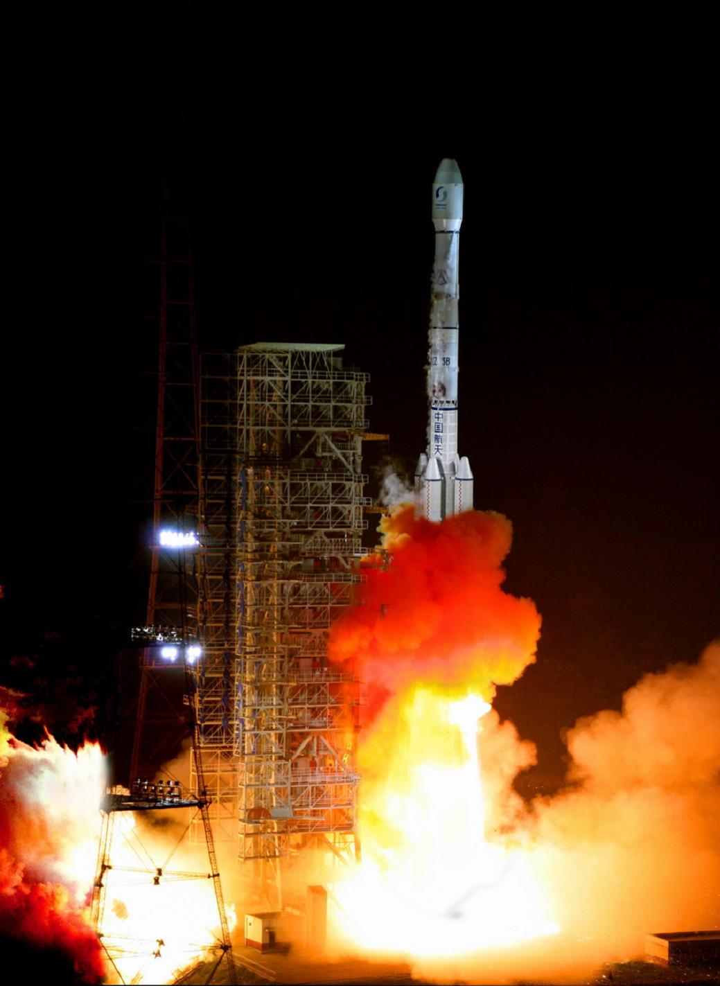
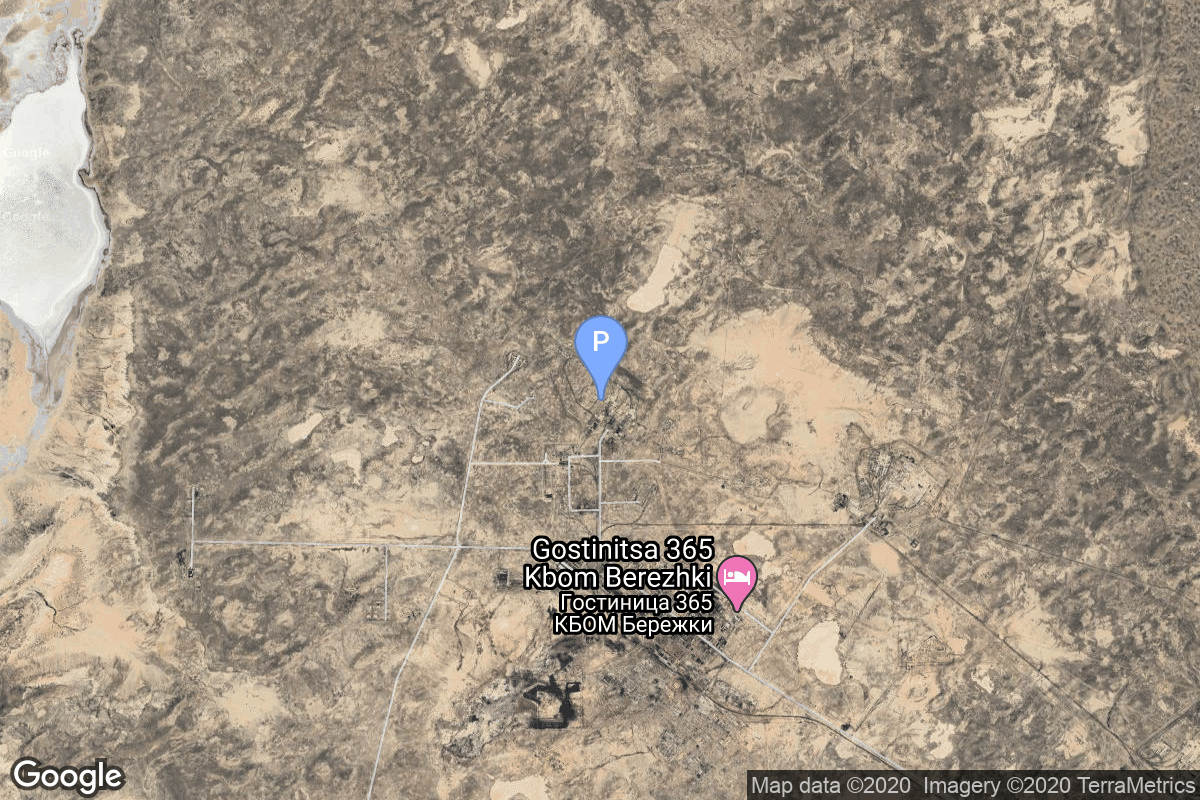
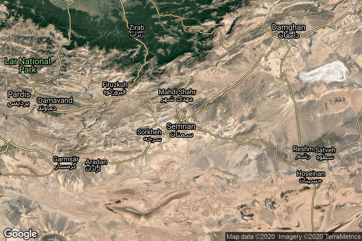
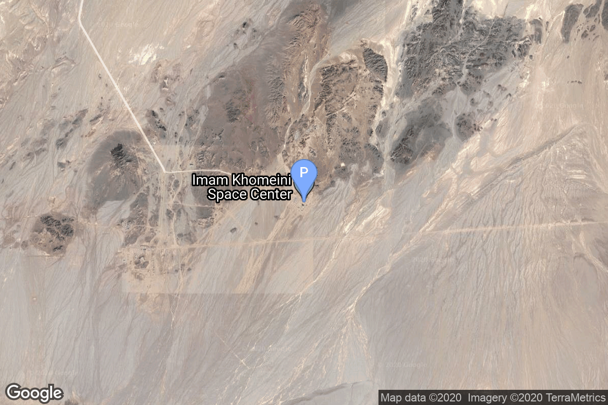
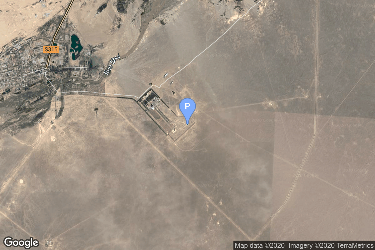
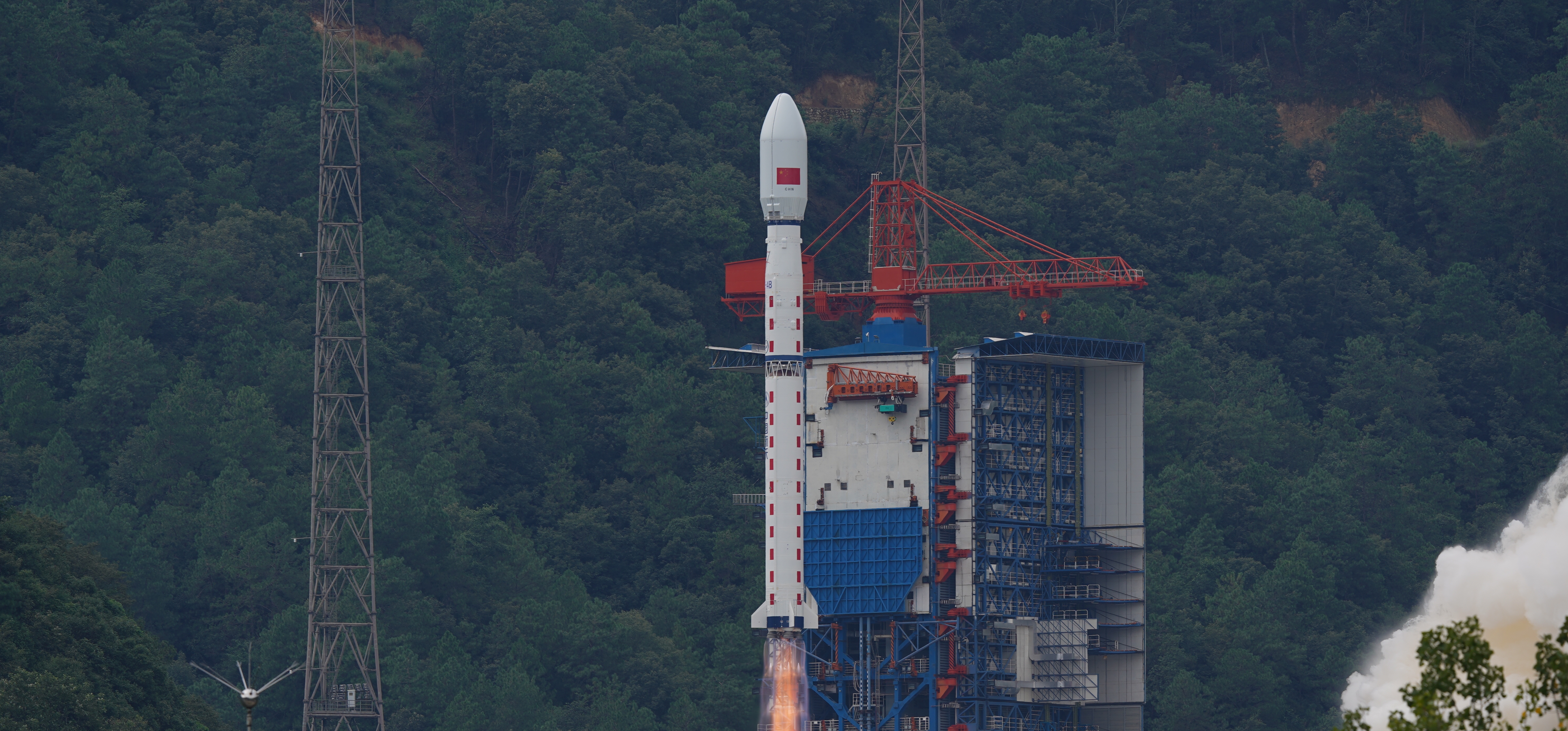
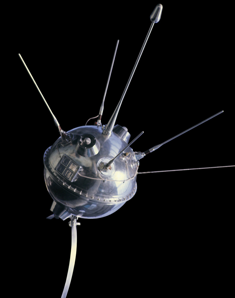
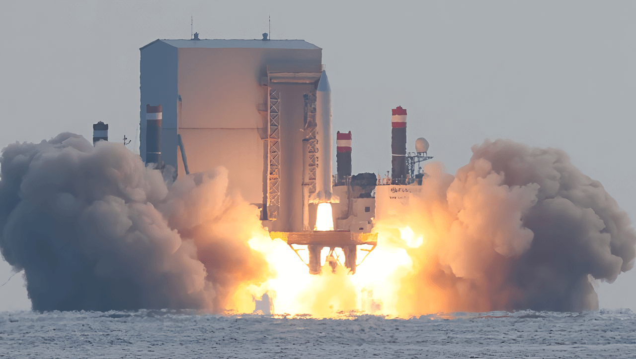
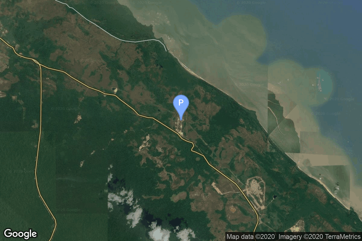
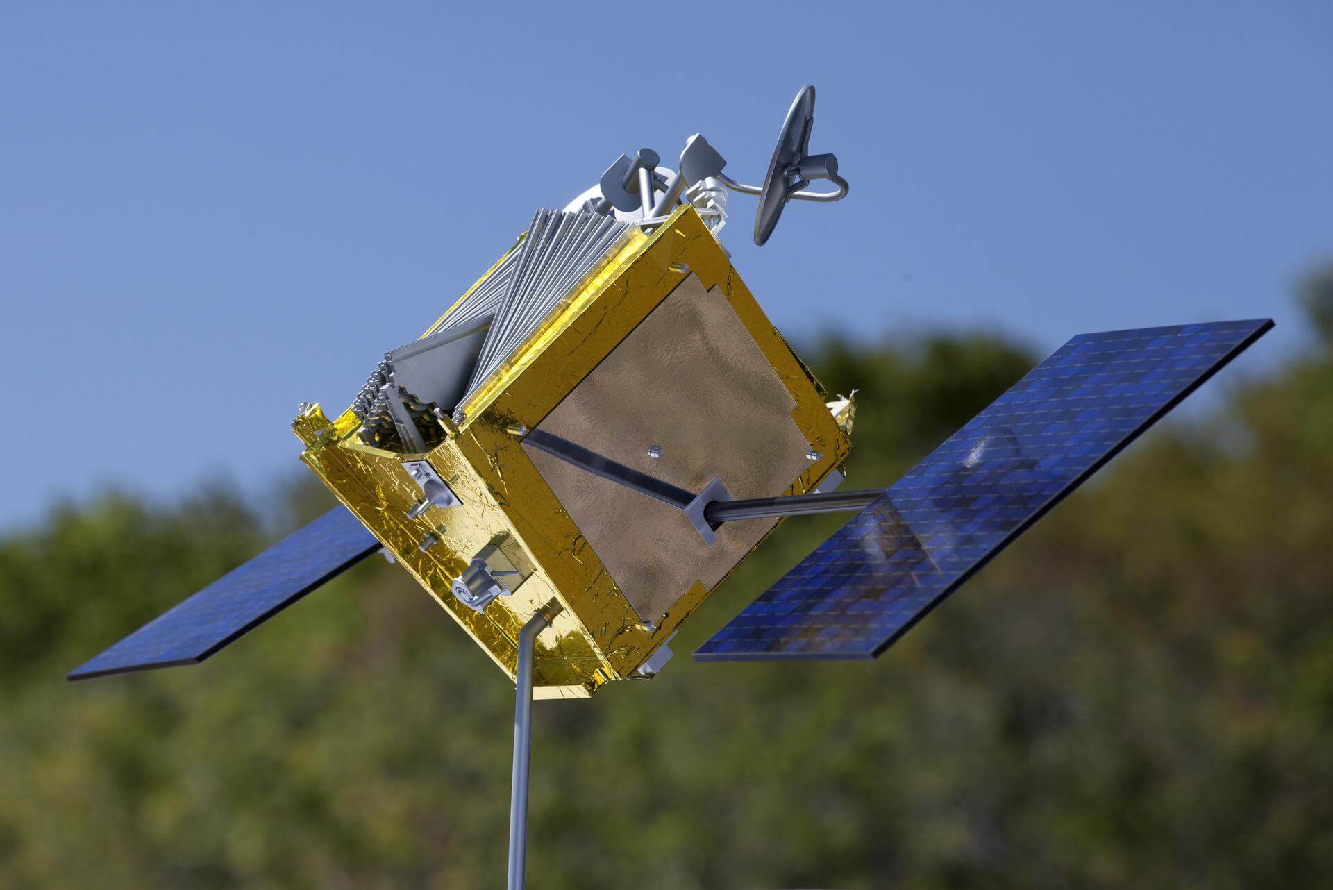
{ "count": 7925, "next": "https://ll.thespacedevs.com/2.2.0/launch/?format=api&limit=10&offset=3040&ordering=-id", "previous": "https://ll.thespacedevs.com/2.2.0/launch/?format=api&limit=10&offset=3020&ordering=-id", "results": [ { "id": "9e556965-cdd9-4d17-a1f2-0063fe609349", "url": "https://ll.thespacedevs.com/2.2.0/launch/9e556965-cdd9-4d17-a1f2-0063fe609349/?format=api", "slug": "long-march-3b-xinnuo-2", "name": "Long March 3B | Xinnuo 2", "status": { "id": 3, "name": "Launch Successful", "abbrev": "Success", "description": "The launch vehicle successfully inserted its payload(s) into the target orbit(s)." }, "last_updated": "2023-08-04T03:41:21Z", "net": "2006-10-28T16:20:00Z", "window_end": "2006-10-28T16:20:00Z", "window_start": "2006-10-28T16:20:00Z", "net_precision": null, "probability": null, "weather_concerns": null, "holdreason": "", "failreason": "", "hashtag": null, "launch_service_provider": { "id": 88, "url": "https://ll.thespacedevs.com/2.2.0/agencies/88/?format=api", "name": "China Aerospace Science and Technology Corporation", "type": "Government" }, "rocket": { "id": 7290, "configuration": { "id": 19, "url": "https://ll.thespacedevs.com/2.2.0/config/launcher/19/?format=api", "name": "Long March 3B", "family": "Long March", "full_name": "Long March 3B", "variant": "B" } }, "mission": { "id": 5679, "name": "Xinnuo 2", "description": "Chinese geostationary communications satellite", "launch_designator": null, "type": "Communications", "orbit": { "id": 1, "name": "Geostationary Orbit", "abbrev": "Direct-GEO" }, "agencies": [], "info_urls": [], "vid_urls": [] }, "pad": { "id": 45, "url": "https://ll.thespacedevs.com/2.2.0/pad/45/?format=api", "agency_id": null, "name": "Launch Complex 2 (LC-2)", "description": "", "info_url": null, "wiki_url": "https://en.wikipedia.org/wiki/Xichang_Satellite_Launch_Center", "map_url": "https://www.google.com/maps?q=28.245504,102.026768", "latitude": "28.245504", "longitude": "102.026768", "location": { "id": 16, "url": "https://ll.thespacedevs.com/2.2.0/location/16/?format=api", "name": "Xichang Satellite Launch Center, People's Republic of China", "country_code": "CHN", "description": "The Xichang Satellite Launch Center is a spaceport in China. It is located in Zeyuan Town, northwest of Xichang, Liangshan Yi Autonomous Prefecture in Sichuan.", "map_image": "https://thespacedevs-prod.nyc3.digitaloceanspaces.com/media/map_images/location_16_20200803142513.jpg", "timezone_name": "Asia/Shanghai", "total_launch_count": 241, "total_landing_count": 0 }, "country_code": "CHN", "map_image": "https://thespacedevs-prod.nyc3.digitaloceanspaces.com/media/map_images/pad_45_20200803143520.jpg", "total_launch_count": 125, "orbital_launch_attempt_count": 125 }, "webcast_live": false, "image": "https://thespacedevs-prod.nyc3.digitaloceanspaces.com/media/images/long2520march25203_image_20200102181012.jpg", "infographic": null, "program": [], "orbital_launch_attempt_count": 4802, "location_launch_attempt_count": 40, "pad_launch_attempt_count": 24, "agency_launch_attempt_count": 39, "orbital_launch_attempt_count_year": 52, "location_launch_attempt_count_year": 2, "pad_launch_attempt_count_year": 2, "agency_launch_attempt_count_year": 5, "type": "normal" }, { "id": "9e5442b0-81d7-41bc-88b0-d7ae26dc4512", "url": "https://ll.thespacedevs.com/2.2.0/launch/9e5442b0-81d7-41bc-88b0-d7ae26dc4512/?format=api", "slug": "tsiklon-2-is-a-10", "name": "Tsiklon-2 | IS-A 10", "status": { "id": 3, "name": "Launch Successful", "abbrev": "Success", "description": "The launch vehicle successfully inserted its payload(s) into the target orbit(s)." }, "last_updated": "2023-06-14T04:24:16Z", "net": "1980-04-18T00:51:00Z", "window_end": "1980-04-18T00:51:00Z", "window_start": "1980-04-18T00:51:00Z", "net_precision": null, "probability": null, "weather_concerns": null, "holdreason": "", "failreason": null, "hashtag": null, "launch_service_provider": { "id": 66, "url": "https://ll.thespacedevs.com/2.2.0/agencies/66/?format=api", "name": "Soviet Space Program", "type": "Government" }, "rocket": { "id": 5164, "configuration": { "id": 443, "url": "https://ll.thespacedevs.com/2.2.0/config/launcher/443/?format=api", "name": "Tsiklon-2", "family": "Tsiklon", "full_name": "Tsiklon-2", "variant": "2" } }, "mission": { "id": 3575, "name": "IS-A 10", "description": "Second generation ASAT satellite", "launch_designator": null, "type": "Government/Top Secret", "orbit": { "id": 8, "name": "Low Earth Orbit", "abbrev": "LEO" }, "agencies": [], "info_urls": [], "vid_urls": [] }, "pad": { "id": 132, "url": "https://ll.thespacedevs.com/2.2.0/pad/132/?format=api", "agency_id": null, "name": "90", "description": null, "info_url": null, "wiki_url": "https://en.wikipedia.org/wiki/Baikonur_Cosmodrome_Site_90", "map_url": "https://www.google.com/maps?q=46.081,62.929806", "latitude": "46.081", "longitude": "62.929806", "location": { "id": 15, "url": "https://ll.thespacedevs.com/2.2.0/location/15/?format=api", "name": "Baikonur Cosmodrome, Republic of Kazakhstan", "country_code": "KAZ", "description": "The Baikonur Cosmodrome is a spaceport operated by Russia within Kazakhstan. Located in the Kazakh city of Baikonur, it is the largest operational space launch facility in terms of area. All Russian crewed spaceflights are launched from Baikonur.", "map_image": "https://thespacedevs-prod.nyc3.digitaloceanspaces.com/media/map_images/location_15_20200803142517.jpg", "timezone_name": "Asia/Qyzylorda", "total_launch_count": 1564, "total_landing_count": 0 }, "country_code": "KAZ", "map_image": "https://thespacedevs-prod.nyc3.digitaloceanspaces.com/media/map_images/pad_132_20200803143344.jpg", "total_launch_count": 74, "orbital_launch_attempt_count": 74 }, "webcast_live": false, "image": "https://thespacedevs-prod.nyc3.digitaloceanspaces.com/media/images/tsyklon-2_lifto_image_20240411113159.jpg", "infographic": null, "program": [], "orbital_launch_attempt_count": 2313, "location_launch_attempt_count": 561, "pad_launch_attempt_count": 23, "agency_launch_attempt_count": 1385, "orbital_launch_attempt_count_year": 30, "location_launch_attempt_count_year": 7, "pad_launch_attempt_count_year": 2, "agency_launch_attempt_count_year": 23, "type": "normal" }, { "id": "9e508df5-0ad1-402b-9a2f-2e1a7ee3a87a", "url": "https://ll.thespacedevs.com/2.2.0/launch/9e508df5-0ad1-402b-9a2f-2e1a7ee3a87a/?format=api", "slug": "molniya-m-molniya-3-44l", "name": "Molniya-M | Molniya-3 44L", "status": { "id": 3, "name": "Launch Successful", "abbrev": "Success", "description": "The launch vehicle successfully inserted its payload(s) into the target orbit(s)." }, "last_updated": "2023-06-14T04:29:24Z", "net": "1986-06-19T21:09:00Z", "window_end": "1986-06-19T21:09:00Z", "window_start": "1986-06-19T21:09:00Z", "net_precision": null, "probability": null, "weather_concerns": null, "holdreason": "", "failreason": null, "hashtag": null, "launch_service_provider": { "id": 66, "url": "https://ll.thespacedevs.com/2.2.0/agencies/66/?format=api", "name": "Soviet Space Program", "type": "Government" }, "rocket": { "id": 5869, "configuration": { "id": 106, "url": "https://ll.thespacedevs.com/2.2.0/config/launcher/106/?format=api", "name": "Molniya-M", "family": "R-7", "full_name": "Molniya-M 2BL", "variant": "2BL" } }, "mission": { "id": 4266, "name": "Molniya-3 44L", "description": "Molniya communication satellites operating from a highly elliptical orbit", "launch_designator": null, "type": "Communications", "orbit": { "id": 0, "name": "Elliptical Orbit", "abbrev": "Elliptical" }, "agencies": [], "info_urls": [], "vid_urls": [] }, "pad": { "id": 168, "url": "https://ll.thespacedevs.com/2.2.0/pad/168/?format=api", "agency_id": null, "name": "41/1", "description": null, "info_url": null, "wiki_url": "https://en.wikipedia.org/wiki/Plesetsk_Cosmodrome", "map_url": "https://www.google.com/maps?q=62.941,40.526806", "latitude": "62.941", "longitude": "40.526806", "location": { "id": 6, "url": "https://ll.thespacedevs.com/2.2.0/location/6/?format=api", "name": "Plesetsk Cosmodrome, Russian Federation", "country_code": "RUS", "description": "Plesetsk Cosmodrome is a Russian spaceport located in Mirny, Arkhangelsk Oblast, about 800 km north of Moscow and approximately 200 km south of Arkhangelsk. Originally developed as an ICBM site for the R-7 missile, it also served for numerous satellite launches using the R-7 and other rockets. Its high latitude makes it useful only for certain types of launches, especially the Molniya orbits, so for much of the site's history it functioned as a secondary location, with most orbital launches taking place from Baikonur, in the Kazakh SSR. With the end of the Soviet Union, Baikonur became a foreign territory, and Kazakhstan charged $115 million usage fees annually. Consequently, Plesetsk has seen considerably more activity since the 2000s.", "map_image": "https://thespacedevs-prod.nyc3.digitaloceanspaces.com/media/map_images/location_6_20200803142434.jpg", "timezone_name": "Europe/Moscow", "total_launch_count": 1685, "total_landing_count": 0 }, "country_code": "RUS", "map_image": "https://thespacedevs-prod.nyc3.digitaloceanspaces.com/media/map_images/pad_168_20200803143446.jpg", "total_launch_count": 310, "orbital_launch_attempt_count": 310 }, "webcast_live": false, "image": "https://thespacedevs-prod.nyc3.digitaloceanspaces.com/media/images/molniya_m_image_20251102061752.jpg", "infographic": null, "program": [], "orbital_launch_attempt_count": 3083, "location_launch_attempt_count": 1119, "pad_launch_attempt_count": 281, "agency_launch_attempt_count": 2000, "orbital_launch_attempt_count_year": 54, "location_launch_attempt_count_year": 25, "pad_launch_attempt_count_year": 5, "agency_launch_attempt_count_year": 44, "type": "normal" }, { "id": "9e4da066-b31e-490d-9ade-fe52cf0bd114", "url": "https://ll.thespacedevs.com/2.2.0/launch/9e4da066-b31e-490d-9ade-fe52cf0bd114/?format=api", "slug": "simorgh-payam", "name": "Simorgh | Payam", "status": { "id": 4, "name": "Launch Failure", "abbrev": "Failure", "description": "Either the launch vehicle did not reach orbit, or the payload(s) failed to separate." }, "last_updated": "2024-10-11T17:20:22Z", "net": "2019-01-15T00:30:00Z", "window_end": "2019-01-15T00:30:00Z", "window_start": "2019-01-15T00:30:00Z", "net_precision": null, "probability": null, "weather_concerns": null, "holdreason": "", "failreason": "Issue with the third stage during flight, satellite didn't reach orbit.", "hashtag": null, "launch_service_provider": { "id": 34, "url": "https://ll.thespacedevs.com/2.2.0/agencies/34/?format=api", "name": "Iranian Space Agency", "type": "Government" }, "rocket": { "id": 2200, "configuration": { "id": 142, "url": "https://ll.thespacedevs.com/2.2.0/config/launcher/142/?format=api", "name": "Simorgh", "family": "", "full_name": "Simorgh", "variant": "" } }, "mission": { "id": 960, "name": "Payam", "description": "Payam is a civilian remote sensing satellited developed by Amirkabir University of Technology. It was supposed to be used for Earth imaging to assist agriculture and environment management.", "launch_designator": null, "type": "Earth Science", "orbit": { "id": 8, "name": "Low Earth Orbit", "abbrev": "LEO" }, "agencies": [], "info_urls": [], "vid_urls": [] }, "pad": { "id": 88, "url": "https://ll.thespacedevs.com/2.2.0/pad/88/?format=api", "agency_id": 34, "name": "Imam Khomeini Spaceport", "description": null, "info_url": null, "wiki_url": "https://en.wikipedia.org/wiki/Imam_Khomeini_Spaceport", "map_url": "https://www.google.com/maps?q=35.237005,53.9505", "latitude": "35.237005", "longitude": "53.9505", "location": { "id": 2, "url": "https://ll.thespacedevs.com/2.2.0/location/2/?format=api", "name": "Semnan Space Center, Islamic Republic of Iran", "country_code": "IRN", "description": "Semnan Space Center is the primary Iranian spaceport, located 50 km southeast of the city of Semnan in the north of the country.", "map_image": "https://thespacedevs-prod.nyc3.digitaloceanspaces.com/media/map_images/location_2_20200803142458.jpg", "timezone_name": "Asia/Tehran", "total_launch_count": 15, "total_landing_count": 0 }, "country_code": "IRN", "map_image": "https://thespacedevs-prod.nyc3.digitaloceanspaces.com/media/map_images/pad_88_20200803143310.jpg", "total_launch_count": 7, "orbital_launch_attempt_count": 7 }, "webcast_live": false, "image": null, "infographic": null, "program": [], "orbital_launch_attempt_count": 5823, "location_launch_attempt_count": 9, "pad_launch_attempt_count": 2, "agency_launch_attempt_count": 9, "orbital_launch_attempt_count_year": 3, "location_launch_attempt_count_year": 1, "pad_launch_attempt_count_year": 1, "agency_launch_attempt_count_year": 1, "type": "normal" }, { "id": "9e4447b7-603c-4859-ae24-af2cc6cf7d89", "url": "https://ll.thespacedevs.com/2.2.0/launch/9e4447b7-603c-4859-ae24-af2cc6cf7d89/?format=api", "slug": "long-march-4b-haiyang-2c", "name": "Long March 4B | Haiyang 2C", "status": { "id": 3, "name": "Launch Successful", "abbrev": "Success", "description": "The launch vehicle successfully inserted its payload(s) into the target orbit(s)." }, "last_updated": "2024-06-15T14:32:44Z", "net": "2020-09-21T05:40:04Z", "window_end": "2020-09-21T06:00:00Z", "window_start": "2020-09-21T05:32:00Z", "net_precision": { "id": 0, "name": "Second", "abbrev": "SEC", "description": "The T-0 is accurate to the second." }, "probability": null, "weather_concerns": null, "holdreason": "", "failreason": "", "hashtag": null, "launch_service_provider": { "id": 88, "url": "https://ll.thespacedevs.com/2.2.0/agencies/88/?format=api", "name": "China Aerospace Science and Technology Corporation", "type": "Government" }, "rocket": { "id": 2790, "configuration": { "id": 10, "url": "https://ll.thespacedevs.com/2.2.0/config/launcher/10/?format=api", "name": "Long March 4B", "family": "Long March", "full_name": "Long March 4B", "variant": "B" } }, "mission": { "id": 1190, "name": "Haiyang 2C", "description": "Haiyang (Chinese: \"Ocean\"), abbreviated HY, is a marine remote sensing satellite series planned by China.", "launch_designator": null, "type": "Earth Science", "orbit": { "id": 8, "name": "Low Earth Orbit", "abbrev": "LEO" }, "agencies": [], "info_urls": [], "vid_urls": [] }, "pad": { "id": 22, "url": "https://ll.thespacedevs.com/2.2.0/pad/22/?format=api", "agency_id": null, "name": "Launch Area 94 (SLS-2 / 603)", "description": "", "info_url": null, "wiki_url": "https://en.wikipedia.org/wiki/Jiuquan_Launch_Area_4", "map_url": "https://www.google.com/maps?q=40.960482,100.298059", "latitude": "40.960482", "longitude": "100.298059", "location": { "id": 17, "url": "https://ll.thespacedevs.com/2.2.0/location/17/?format=api", "name": "Jiuquan Satellite Launch Center, People's Republic of China", "country_code": "CHN", "description": "Jiuquan Satellite Launch Center is a Chinese spaceport located between the Ejin, Alxa, Inner Mongolia and Hangtian Town, Jinta County, Jiuquan, Gansu Province. It is part of the Dongfeng Aerospace City (Base 10).", "map_image": "https://thespacedevs-prod.nyc3.digitaloceanspaces.com/media/map_images/location_17_20200803142429.jpg", "timezone_name": "Asia/Shanghai", "total_launch_count": 291, "total_landing_count": 2 }, "country_code": "CHN", "map_image": "https://thespacedevs-prod.nyc3.digitaloceanspaces.com/media/map_images/pad_22_20200803143437.jpg", "total_launch_count": 137, "orbital_launch_attempt_count": 137 }, "webcast_live": false, "image": "https://thespacedevs-prod.nyc3.digitaloceanspaces.com/media/images/long_march_4b_l_image_20251209044050.jpeg", "infographic": null, "program": [], "orbital_launch_attempt_count": 5996, "location_launch_attempt_count": 133, "pad_launch_attempt_count": 69, "agency_launch_attempt_count": 294, "orbital_launch_attempt_count_year": 74, "location_launch_attempt_count_year": 11, "pad_launch_attempt_count_year": 6, "agency_launch_attempt_count_year": 24, "type": "normal" }, { "id": "9e43282a-1860-4dd9-961c-9f50049f0f4a", "url": "https://ll.thespacedevs.com/2.2.0/launch/9e43282a-1860-4dd9-961c-9f50049f0f4a/?format=api", "slug": "proton-luna-16c", "name": "Proton | Luna-16c", "status": { "id": 4, "name": "Launch Failure", "abbrev": "Failure", "description": "Either the launch vehicle did not reach orbit, or the payload(s) failed to separate." }, "last_updated": "2023-06-14T03:46:16Z", "net": "1970-02-06T04:16:06Z", "window_end": "1970-02-06T04:16:06Z", "window_start": "1970-02-06T04:16:06Z", "net_precision": null, "probability": null, "weather_concerns": null, "holdreason": "", "failreason": null, "hashtag": null, "launch_service_provider": { "id": 66, "url": "https://ll.thespacedevs.com/2.2.0/agencies/66/?format=api", "name": "Soviet Space Program", "type": "Government" }, "rocket": { "id": 3982, "configuration": { "id": 191, "url": "https://ll.thespacedevs.com/2.2.0/config/launcher/191/?format=api", "name": "Proton", "family": "Proton / UR-500", "full_name": "Proton / UR-500 K/D", "variant": "K/D" } }, "mission": { "id": 2400, "name": "Luna-16c", "description": "Lunar lander and sample return probe", "launch_designator": null, "type": "Lunar Exploration", "orbit": { "id": 11, "name": "Lunar Orbit", "abbrev": "LO" }, "agencies": [], "info_urls": [], "vid_urls": [] }, "pad": { "id": 31, "url": "https://ll.thespacedevs.com/2.2.0/pad/31/?format=api", "agency_id": null, "name": "81/23 (81L)", "description": null, "info_url": null, "wiki_url": "", "map_url": "https://www.google.com/maps?q=46.073997,62.977999", "latitude": "46.073997", "longitude": "62.977999", "location": { "id": 15, "url": "https://ll.thespacedevs.com/2.2.0/location/15/?format=api", "name": "Baikonur Cosmodrome, Republic of Kazakhstan", "country_code": "KAZ", "description": "The Baikonur Cosmodrome is a spaceport operated by Russia within Kazakhstan. Located in the Kazakh city of Baikonur, it is the largest operational space launch facility in terms of area. All Russian crewed spaceflights are launched from Baikonur.", "map_image": "https://thespacedevs-prod.nyc3.digitaloceanspaces.com/media/map_images/location_15_20200803142517.jpg", "timezone_name": "Asia/Qyzylorda", "total_launch_count": 1564, "total_landing_count": 0 }, "country_code": "KAZ", "map_image": "https://thespacedevs-prod.nyc3.digitaloceanspaces.com/media/map_images/pad_31_20200803143402.jpg", "total_launch_count": 104, "orbital_launch_attempt_count": 104 }, "webcast_live": false, "image": "https://thespacedevs-prod.nyc3.digitaloceanspaces.com/media/images/proton_image_20231231095535.jpg", "infographic": null, "program": [ { "id": 38, "url": "https://ll.thespacedevs.com/2.2.0/program/38/?format=api", "name": "Luna", "description": "The Luna program was a series of robotic spacecraft missions sent to the Moon by the Soviet Union between 1959 and 1976. The program accomplished many firsts in space exploration, including first flyby of the Moon, first impact of the Moon and first photos of the far side of the Moon. Each mission was designed as either an orbiter or lander. They also performed many experiments, studying the Moon's chemical composition, gravity, temperature, and radiation.", "agencies": [ { "id": 66, "url": "https://ll.thespacedevs.com/2.2.0/agencies/66/?format=api", "name": "Soviet Space Program", "type": "Government" } ], "image_url": "https://thespacedevs-prod.nyc3.digitaloceanspaces.com/media/images/luna_1_impactor_image_20240813082956.jpg", "start_date": "1958-09-23T07:40:23Z", "end_date": "1976-08-22T17:55:00Z", "info_url": null, "wiki_url": "https://en.wikipedia.org/wiki/Luna_programme", "mission_patches": [], "type": { "id": 5, "name": "Exploration" } } ], "orbital_launch_attempt_count": 1057, "location_launch_attempt_count": 285, "pad_launch_attempt_count": 16, "agency_launch_attempt_count": 460, "orbital_launch_attempt_count_year": 11, "location_launch_attempt_count_year": 2, "pad_launch_attempt_count_year": 1, "agency_launch_attempt_count_year": 7, "type": "normal" }, { "id": "9e27a1ed-e81a-4918-b32b-0380cf3a9f8f", "url": "https://ll.thespacedevs.com/2.2.0/launch/9e27a1ed-e81a-4918-b32b-0380cf3a9f8f/?format=api", "slug": "mir-demo-flight", "name": "Mir | Demo Flight", "status": { "id": 2, "name": "To Be Determined", "abbrev": "TBD", "description": "Current date is a placeholder or rough estimation based on unreliable or interpreted sources." }, "last_updated": "2026-07-03T13:39:06Z", "net": "2026-07-31T00:00:00Z", "window_end": "2026-07-31T00:00:00Z", "window_start": "2026-07-31T00:00:00Z", "net_precision": { "id": 7, "name": "Month", "abbrev": "M", "description": "The T-0 is expected in the given month." }, "probability": null, "weather_concerns": null, "holdreason": "", "failreason": "", "hashtag": null, "launch_service_provider": { "id": 1079, "url": "https://ll.thespacedevs.com/2.2.0/agencies/1079/?format=api", "name": "Agency for Defense Development", "type": "Government" }, "rocket": { "id": 8972, "configuration": { "id": 502, "url": "https://ll.thespacedevs.com/2.2.0/config/launcher/502/?format=api", "name": "Mir", "family": "Mir", "full_name": "Mir", "variant": "" } }, "mission": { "id": 7567, "name": "Demo Flight", "description": "Note: Launch vehicle name is provisional.\r\n\r\nFirst orbital full version launch of the South Korean military small satellite launch vehicle, after 2 sub-orbital tests of individual stages on 30 March and 30 December 2022, and 1 orbital test flight without the 2nd stage on 4 December 2023. Details TBD.", "launch_designator": null, "type": "Test Flight", "orbit": { "id": 8, "name": "Low Earth Orbit", "abbrev": "LEO" }, "agencies": [], "info_urls": [], "vid_urls": [] }, "pad": { "id": 216, "url": "https://ll.thespacedevs.com/2.2.0/pad/216/?format=api", "agency_id": null, "name": "ADD Offshore launch platform", "description": "Offshore launch platform for the South Korean military small satellite launch vehicle.", "info_url": null, "wiki_url": null, "map_url": null, "latitude": "33.216667", "longitude": "126.366667", "location": { "id": 3, "url": "https://ll.thespacedevs.com/2.2.0/location/3/?format=api", "name": "Sea Launch", "country_code": "???", "description": "", "map_image": "https://thespacedevs-prod.nyc3.digitaloceanspaces.com/media/map_images/location_3_20200803142448.jpg", "timezone_name": "", "total_launch_count": 40, "total_landing_count": 0 }, "country_code": "KOR", "map_image": "https://thespacedevs-prod.nyc3.digitaloceanspaces.com/media/map_images/pad_add_offshore_launch_platform_20231204142359.jpg", "total_launch_count": 1, "orbital_launch_attempt_count": 1 }, "webcast_live": false, "image": "https://thespacedevs-prod.nyc3.digitaloceanspaces.com/media/images/south2520korea_image_20231204145331.png", "infographic": null, "program": [], "orbital_launch_attempt_count": 7357, "location_launch_attempt_count": 41, "pad_launch_attempt_count": 2, "agency_launch_attempt_count": 2, "orbital_launch_attempt_count_year": 184, "location_launch_attempt_count_year": 1, "pad_launch_attempt_count_year": 1, "agency_launch_attempt_count_year": 1, "type": "normal" }, { "id": "9e26871c-2579-4bd6-8c44-c184092ce099", "url": "https://ll.thespacedevs.com/2.2.0/launch/9e26871c-2579-4bd6-8c44-c184092ce099/?format=api", "slug": "aslv-sross-c2", "name": "ASLV | SROSS-C2", "status": { "id": 3, "name": "Launch Successful", "abbrev": "Success", "description": "The launch vehicle successfully inserted its payload(s) into the target orbit(s)." }, "last_updated": "2023-07-07T14:10:41Z", "net": "1994-05-04T00:00:00Z", "window_end": "1994-05-04T00:00:00Z", "window_start": "1994-05-04T00:00:00Z", "net_precision": null, "probability": null, "weather_concerns": null, "holdreason": "", "failreason": "", "hashtag": null, "launch_service_provider": { "id": 31, "url": "https://ll.thespacedevs.com/2.2.0/agencies/31/?format=api", "name": "Indian Space Research Organization", "type": "Government" }, "rocket": { "id": 6586, "configuration": { "id": 218, "url": "https://ll.thespacedevs.com/2.2.0/config/launcher/218/?format=api", "name": "ASLV", "family": "ASLV", "full_name": "ASLV", "variant": "" } }, "mission": { "id": 4976, "name": "SROSS-C2", "description": "SROSS C and C2 (Stretched Rohini Satellite Series) were the third and fourth satellites in ISRO's SROSS series and to perform experiments on Gamma-ray astronomy and ionospheric science.", "launch_designator": null, "type": "Astrophysics", "orbit": { "id": 8, "name": "Low Earth Orbit", "abbrev": "LEO" }, "agencies": [], "info_urls": [], "vid_urls": [] }, "pad": { "id": 40, "url": "https://ll.thespacedevs.com/2.2.0/pad/40/?format=api", "agency_id": 31, "name": "SLV-3 Launch Pad", "description": "The SLV3 Launch Pad, began operation in 1979 and was decommissioned in 1994. It was used by two launch vehicles of the ISRO: the Satellite Launch Vehicle (SLV) and the Augmented Satellite Launch Vehicle (ASLV) Initially it was built for launching SLV-3s but was later also used as an ASLV launch complex.", "info_url": null, "wiki_url": "https://en.wikipedia.org/wiki/Satish_Dhawan_Space_Centre_SLV_Launch_Pad", "map_url": "https://www.google.com/maps?q=13.666193,80.227231", "latitude": "13.666193", "longitude": "80.227231", "location": { "id": 14, "url": "https://ll.thespacedevs.com/2.2.0/location/14/?format=api", "name": "Satish Dhawan Space Centre, India", "country_code": "IND", "description": "Satish Dhawan Space Centre – SDSC (formerly Sriharikota Range – SHAR),[1] is the primary spaceport of the Indian Space Research Organisation (ISRO), located in Sriharikota, Andhra Pradesh.", "map_image": "https://thespacedevs-prod.nyc3.digitaloceanspaces.com/media/map_images/location_14_20200803142403.jpg", "timezone_name": "Asia/Kolkata", "total_launch_count": 103, "total_landing_count": 0 }, "country_code": "IND", "map_image": "https://thespacedevs-prod.nyc3.digitaloceanspaces.com/media/map_images/pad_40_20200803143325.jpg", "total_launch_count": 8, "orbital_launch_attempt_count": 8 }, "webcast_live": false, "image": "https://thespacedevs-prod.nyc3.digitaloceanspaces.com/media/images/aslv_image_20240210153603.png", "infographic": null, "program": [], "orbital_launch_attempt_count": 3896, "location_launch_attempt_count": 9, "pad_launch_attempt_count": 8, "agency_launch_attempt_count": 9, "orbital_launch_attempt_count_year": 28, "location_launch_attempt_count_year": 1, "pad_launch_attempt_count_year": 1, "agency_launch_attempt_count_year": 1, "type": "normal" }, { "id": "9e24bef7-c44b-4fdc-ba52-68545ce9457e", "url": "https://ll.thespacedevs.com/2.2.0/launch/9e24bef7-c44b-4fdc-ba52-68545ce9457e/?format=api", "slug": "electron-strix-launch-13", "name": "Electron | StriX Launch 13", "status": { "id": 2, "name": "To Be Determined", "abbrev": "TBD", "description": "Current date is a placeholder or rough estimation based on unreliable or interpreted sources." }, "last_updated": "2026-03-27T00:34:00Z", "net": "2026-12-31T00:00:00Z", "window_end": "2026-12-31T00:00:00Z", "window_start": "2026-12-31T00:00:00Z", "net_precision": { "id": 7, "name": "Month", "abbrev": "M", "description": "The T-0 is expected in the given month." }, "probability": null, "weather_concerns": null, "holdreason": "", "failreason": "", "hashtag": null, "launch_service_provider": { "id": 147, "url": "https://ll.thespacedevs.com/2.2.0/agencies/147/?format=api", "name": "Rocket Lab", "type": "Commercial" }, "rocket": { "id": 8269, "configuration": { "id": 26, "url": "https://ll.thespacedevs.com/2.2.0/config/launcher/26/?format=api", "name": "Electron", "family": "", "full_name": "Electron", "variant": "" } }, "mission": { "id": 6850, "name": "StriX Launch 13", "description": "Synthetic aperture radar satellite for Japanese Earth imaging company Synspective.", "launch_designator": null, "type": "Earth Science", "orbit": { "id": 17, "name": "Sun-Synchronous Orbit", "abbrev": "SSO" }, "agencies": [ { "id": 1071, "url": "https://ll.thespacedevs.com/2.2.0/agencies/1071/?format=api", "name": "Synspective", "featured": false, "type": "Private", "country_code": "JPN", "abbrev": "", "description": "Synspective was established with the aim to integrate SAR satellite technology in society through the agility of a start-up company. Synspective derives its name from the company concept of “Synthetic Data for Perspective on Sustainable Development.", "administrator": "CEO: Dr. Motoyuki Arai", "founding_year": "2018", "launchers": "", "spacecraft": "", "launch_library_url": null, "total_launch_count": 0, "consecutive_successful_launches": 0, "successful_launches": 0, "failed_launches": 0, "pending_launches": 0, "consecutive_successful_landings": 0, "successful_landings": 0, "failed_landings": 0, "attempted_landings": 0, "info_url": "https://synspective.com/", "wiki_url": null, "logo_url": "https://thespacedevs-prod.nyc3.digitaloceanspaces.com/media/images/synspective_log_image_20240325082018.png", "image_url": null, "nation_url": "https://thespacedevs-prod.nyc3.digitaloceanspaces.com/media/images/synspective_nation_20240228091738.jpg" } ], "info_urls": [], "vid_urls": [] }, "pad": { "id": 210, "url": "https://ll.thespacedevs.com/2.2.0/pad/210/?format=api", "agency_id": null, "name": "Unknown Pad", "description": null, "info_url": null, "wiki_url": null, "map_url": null, "latitude": "-39.260881", "longitude": "177.865826", "location": { "id": 10, "url": "https://ll.thespacedevs.com/2.2.0/location/10/?format=api", "name": "Rocket Lab Launch Complex 1, Mahia Peninsula, New Zealand", "country_code": "NZL", "description": "Rocket Lab Launch Complex 1 is a commercial spaceport located close to Ahuriri Point at the southern tip of Māhia Peninsula, on the east coast of New Zealand's North Island. It is owned and operated by private spaceflight company Rocket Lab and supports launches of the company's Electron rocket for small satellites. With the launch of Electron on 25 May 2017, it became the first private spaceport to host an orbital launch attempt, and the first site in New Zealand to host an orbital launch attempt. With the Electron launch of 21 January 2018, it became the first private spaceport to host a successful orbital launch.", "map_image": "https://thespacedevs-prod.nyc3.digitaloceanspaces.com/media/map_images/location_10_20200803142509.jpg", "timezone_name": "Pacific/Auckland", "total_launch_count": 78, "total_landing_count": 17 }, "country_code": "NZL", "map_image": "https://thespacedevs-prod.nyc3.digitaloceanspaces.com/media/map_images/pad_210_20230819165718.jpg", "total_launch_count": 0, "orbital_launch_attempt_count": 0 }, "webcast_live": false, "image": "https://thespacedevs-prod.nyc3.digitaloceanspaces.com/media/images/electron_image_20190705175640.jpeg", "infographic": null, "program": [], "orbital_launch_attempt_count": 7501, "location_launch_attempt_count": 93, "pad_launch_attempt_count": 14, "agency_launch_attempt_count": 111, "orbital_launch_attempt_count_year": 328, "location_launch_attempt_count_year": 24, "pad_launch_attempt_count_year": 14, "agency_launch_attempt_count_year": 32, "type": "normal" }, { "id": "9e1f0741-6c43-4e5a-b6f5-6095f97cbbab", "url": "https://ll.thespacedevs.com/2.2.0/launch/9e1f0741-6c43-4e5a-b6f5-6095f97cbbab/?format=api", "slug": "maia-oneweb-l", "name": "Maia | OneWeb L?", "status": { "id": 2, "name": "To Be Determined", "abbrev": "TBD", "description": "Current date is a placeholder or rough estimation based on unreliable or interpreted sources." }, "last_updated": "2026-01-16T08:29:34Z", "net": "2027-12-31T00:00:00Z", "window_end": "2027-12-31T00:00:00Z", "window_start": "2027-12-31T00:00:00Z", "net_precision": { "id": 14, "name": "Year", "abbrev": "Y", "description": "The T-0 is expected in the given year." }, "probability": null, "weather_concerns": null, "holdreason": "", "failreason": "", "hashtag": null, "launch_service_provider": { "id": 1103, "url": "https://ll.thespacedevs.com/2.2.0/agencies/1103/?format=api", "name": "MaiaSpace", "type": "Private" }, "rocket": { "id": 8892, "configuration": { "id": 547, "url": "https://ll.thespacedevs.com/2.2.0/config/launcher/547/?format=api", "name": "Maia", "family": "", "full_name": "Maia", "variant": "" } }, "mission": { "id": 7483, "name": "OneWeb L?", "description": "First Maia launch of OneWeb satellites.", "launch_designator": null, "type": "Communications", "orbit": { "id": 8, "name": "Low Earth Orbit", "abbrev": "LEO" }, "agencies": [ { "id": 1081, "url": "https://ll.thespacedevs.com/2.2.0/agencies/1081/?format=api", "name": "Eutelsat OneWeb", "featured": false, "type": "Commercial", "country_code": "GBR", "abbrev": "OneWeb", "description": "Eutelsat OneWeb is a subsidiary of Eutelsat Group providing broadband satellite Internet services in low Earth orbit (LEO). The company is headquartered in London, and has offices in Virginia, US and a satellite manufacturing facility in Florida – Airbus OneWeb Satellites – that is a joint venture with Airbus Defence and Space.", "administrator": "CEO: Eva Berneke", "founding_year": "2012", "launchers": "", "spacecraft": "OneWeb Internet", "launch_library_url": null, "total_launch_count": 0, "consecutive_successful_launches": 0, "successful_launches": 0, "failed_launches": 0, "pending_launches": 0, "consecutive_successful_landings": 0, "successful_landings": 0, "failed_landings": 0, "attempted_landings": 0, "info_url": "https://www.oneweb.net/", "wiki_url": "https://en.wikipedia.org/wiki/Eutelsat_OneWeb", "logo_url": "https://thespacedevs-prod.nyc3.digitaloceanspaces.com/media/images/eutelsat2520oneweb_logo_20231228160405.png", "image_url": null, "nation_url": "https://thespacedevs-prod.nyc3.digitaloceanspaces.com/media/images/eutelsat2520oneweb_nation_20231228160405.jpg" } ], "info_urls": [], "vid_urls": [] }, "pad": { "id": 81, "url": "https://ll.thespacedevs.com/2.2.0/pad/81/?format=api", "agency_id": 115, "name": "Soyuz Launch Complex", "description": "The Ensemble de Lancement Soyouz (ELS) is a launch complex at the Guiana Space Centre in Kourou/Sinnamary, French Guiana. It was used by Soyuz-ST rockets: modified versions of the Soyuz-2 optimised for launch from Kourou under Soyuz at the Guiana Space Centre programme.", "info_url": null, "wiki_url": "https://en.wikipedia.org/wiki/Ensemble_de_Lancement_Soyouz", "map_url": "https://www.google.com/maps?q=5.3019,-52.8346", "latitude": "5.3019", "longitude": "-52.8346", "location": { "id": 13, "url": "https://ll.thespacedevs.com/2.2.0/location/13/?format=api", "name": "Guiana Space Centre, French Guiana", "country_code": "GUF", "description": "The Guiana Space Centre is a European spaceport to the northwest of Kourou in French Guiana, a region of France in South America. Kourou is located at a latitude of 5°. In operation since 1968, it is a suitable location for a spaceport because of its equatorial location and open sea to the east.", "map_image": "https://thespacedevs-prod.nyc3.digitaloceanspaces.com/media/map_images/location_13_20200803142412.jpg", "timezone_name": "America/Cayenne", "total_launch_count": 334, "total_landing_count": 0 }, "country_code": "GUF", "map_image": "https://thespacedevs-prod.nyc3.digitaloceanspaces.com/media/map_images/pad_81_20200803143601.jpg", "total_launch_count": 26, "orbital_launch_attempt_count": 26 }, "webcast_live": false, "image": "https://thespacedevs-prod.nyc3.digitaloceanspaces.com/media/images/maia_rocket_in__image_20251205133047.jpeg", "infographic": null, "program": [ { "id": 26, "url": "https://ll.thespacedevs.com/2.2.0/program/26/?format=api", "name": "OneWeb", "description": "Satellite constellation in low Earth orbit that can provide high-speed broadband internet to rural and isolated areas.", "agencies": [ { "id": 1081, "url": "https://ll.thespacedevs.com/2.2.0/agencies/1081/?format=api", "name": "Eutelsat OneWeb", "type": "Commercial" } ], "image_url": "https://thespacedevs-prod.nyc3.digitaloceanspaces.com/media/images/oneweb_program_20231228155842.jpeg", "start_date": "2019-02-27T21:37:00Z", "end_date": null, "info_url": "https://oneweb.net/", "wiki_url": "https://en.wikipedia.org/wiki/Eutelsat_OneWeb", "mission_patches": [], "type": { "id": 3, "name": "Communication Constellation" } } ], "orbital_launch_attempt_count": 7599, "location_launch_attempt_count": 362, "pad_launch_attempt_count": 28, "agency_launch_attempt_count": 2, "orbital_launch_attempt_count_year": 98, "location_launch_attempt_count_year": 19, "pad_launch_attempt_count_year": 2, "agency_launch_attempt_count_year": 2, "type": "normal" } ] }
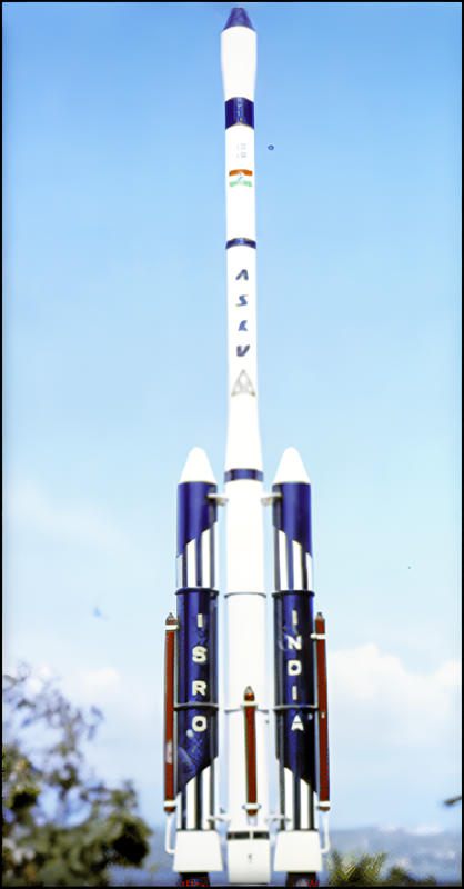