Launch List
AN API endpoint that returns all Launch objects or a single launch.
EXAMPLE - /launch/[id]/ or /launch/?mode=list&search=SpaceX
GET Return a list of all Launch objects.
FILTERS Fields - 'name', 'id(s)', 'lsp__id', 'lsp__name', 'serial_number', 'launcher_config__id', 'rocket__spacecraftflight__spacecraft__name', 'is_crewed', 'include_suborbital', 'spacecraft_config__ids', 'related', 'location__ids', 'lsp__ids', 'pad__ids', 'status__ids'
MODE 'normal', 'list', 'detailed'
EXAMPLE ?mode=list
SEARCH Searches through the launch name, rocket name, launch agency, mission name & spacecraft name.
EXAMPLE - ?search=SpaceX
GET /2.2.0/launch/?format=api&offset=30&ordering=-net
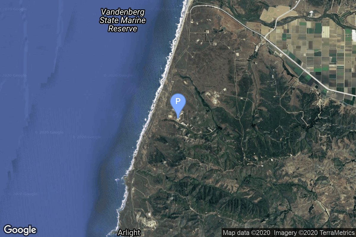
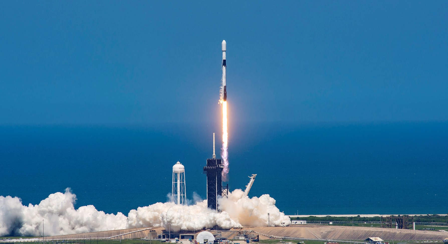
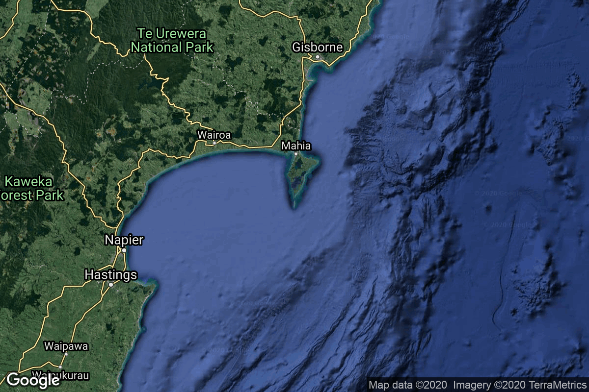
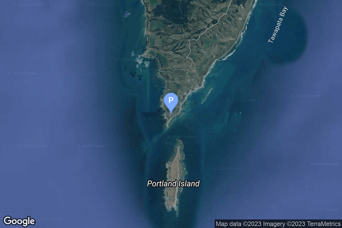
{ "count": 7960, "next": "https://ll.thespacedevs.com/2.2.0/launch/?format=api&limit=10&offset=40&ordering=-net", "previous": "https://ll.thespacedevs.com/2.2.0/launch/?format=api&limit=10&offset=20&ordering=-net", "results": [ { "id": "3d4800c4-3e30-4121-a289-ae4e6bbf18c0", "url": "https://ll.thespacedevs.com/2.2.0/launch/3d4800c4-3e30-4121-a289-ae4e6bbf18c0/?format=api", "slug": "falcon-9-block-5-nrol-96", "name": "Falcon 9 Block 5 | NROL-96", "status": { "id": 2, "name": "To Be Determined", "abbrev": "TBD", "description": "Current date is a placeholder or rough estimation based on unreliable or interpreted sources." }, "last_updated": "2025-04-09T19:01:58Z", "net": "2029-12-31T00:00:00Z", "window_end": "2029-12-31T00:00:00Z", "window_start": "2029-12-31T00:00:00Z", "net_precision": { "id": 14, "name": "Year", "abbrev": "Y", "description": "The T-0 is expected in the given year." }, "probability": null, "weather_concerns": null, "holdreason": "", "failreason": "", "hashtag": null, "launch_service_provider": { "id": 121, "url": "https://ll.thespacedevs.com/2.2.0/agencies/121/?format=api", "name": "SpaceX", "type": "Commercial" }, "rocket": { "id": 8573, "configuration": { "id": 164, "url": "https://ll.thespacedevs.com/2.2.0/config/launcher/164/?format=api", "name": "Falcon 9", "family": "Falcon", "full_name": "Falcon 9 Block 5", "variant": "Block 5" } }, "mission": { "id": 7164, "name": "NROL-96", "description": "Classified payload for the US National Reconnaissance Office", "launch_designator": null, "type": "Government/Top Secret", "orbit": { "id": 25, "name": "Unknown", "abbrev": "N/A" }, "agencies": [ { "id": 181, "url": "https://ll.thespacedevs.com/2.2.0/agencies/181/?format=api", "name": "National Reconnaissance Office", "featured": false, "type": "Government", "country_code": "USA", "abbrev": "NRO", "description": "The National Reconnaissance Office (NRO) is a member of the United States Intelligence Community and an agency of the United States Department of Defense which designs, builds, launches, and operates the reconnaissance satellites of the U.S. federal government, and provides satellite intelligence to several government agencies, particularly signals intelligence (SIGINT) to the NSA, imagery intelligence (IMINT) to the NGA, and measurement and signature intelligence (MASINT) to the DIA.", "administrator": "Director: Christopher Scolese", "founding_year": "1961", "launchers": "", "spacecraft": "", "launch_library_url": null, "total_launch_count": 0, "consecutive_successful_launches": 0, "successful_launches": 0, "failed_launches": 0, "pending_launches": 0, "consecutive_successful_landings": 0, "successful_landings": 0, "failed_landings": 0, "attempted_landings": 0, "info_url": "https://www.nro.gov/", "wiki_url": "https://en.wikipedia.org/wiki/National_Reconnaissance_Office", "logo_url": null, "image_url": null, "nation_url": "https://thespacedevs-prod.nyc3.digitaloceanspaces.com/media/images/national2520reconnaissance2520office_nation_20240228092125.png" } ], "info_urls": [], "vid_urls": [] }, "pad": { "id": 16, "url": "https://ll.thespacedevs.com/2.2.0/pad/16/?format=api", "agency_id": null, "name": "Space Launch Complex 4E", "description": "Space Launch Complex 4 East (SLC-4E) is a launch site at Vandenberg Space Force Base, California, U.S.\r\n\r\nThe pad was previously used by Atlas and Titan rockets between 1963 and 2005. The pad was built for use by Atlas-Agena rockets, but was later rebuilt to handle Titan rockets.", "info_url": null, "wiki_url": "https://en.wikipedia.org/wiki/Vandenberg_Space_Launch_Complex_4#SLC-4E", "map_url": "https://www.google.com/maps?q=34.632,-120.611", "latitude": "34.632", "longitude": "-120.611", "location": { "id": 11, "url": "https://ll.thespacedevs.com/2.2.0/location/11/?format=api", "name": "Vandenberg SFB, CA, USA", "country_code": "USA", "description": "Vandenberg Space Force Base is a United States Space Force Base in Santa Barbara County, California. Established in 1941, Vandenberg Space Force Base is a space launch base, launching spacecraft from the Western Range, and also performs missile testing. The United States Space Force's Space Launch Delta 30 serves as the host delta for the base, equivalent to an Air Force air base wing. In addition to its military space launch mission, Vandenberg Space Force Base also hosts space launches for civil and commercial space entities, such as NASA and SpaceX.", "map_image": "https://thespacedevs-prod.nyc3.digitaloceanspaces.com/media/map_images/location_11_20200803142416.jpg", "timezone_name": "America/Los_Angeles", "total_launch_count": 909, "total_landing_count": 35 }, "country_code": "USA", "map_image": "https://thespacedevs-prod.nyc3.digitaloceanspaces.com/media/map_images/pad_16_20200803143532.jpg", "total_launch_count": 293, "orbital_launch_attempt_count": 293 }, "webcast_live": false, "image": "https://thespacedevs-prod.nyc3.digitaloceanspaces.com/media/images/falcon_9_image_20230807133459.jpeg", "infographic": null, "program": [], "orbital_launch_attempt_count": 7715, "location_launch_attempt_count": 956, "pad_launch_attempt_count": 326, "agency_launch_attempt_count": 849, "orbital_launch_attempt_count_year": 44, "location_launch_attempt_count_year": 2, "pad_launch_attempt_count_year": 2, "agency_launch_attempt_count_year": 19, "type": "normal" }, { "id": "21aaaf10-d26f-40d9-b6b7-5247c634e254", "url": "https://ll.thespacedevs.com/2.2.0/launch/21aaaf10-d26f-40d9-b6b7-5247c634e254/?format=api", "slug": "falcon-9-block-5-nrol-157", "name": "Falcon 9 Block 5 | NROL-157", "status": { "id": 2, "name": "To Be Determined", "abbrev": "TBD", "description": "Current date is a placeholder or rough estimation based on unreliable or interpreted sources." }, "last_updated": "2025-04-09T19:04:27Z", "net": "2029-12-31T00:00:00Z", "window_end": "2029-12-31T00:00:00Z", "window_start": "2029-12-31T00:00:00Z", "net_precision": { "id": 16, "name": "Decade", "abbrev": "DEC", "description": "The T-0 is expected in the given decade." }, "probability": null, "weather_concerns": null, "holdreason": "", "failreason": "", "hashtag": null, "launch_service_provider": { "id": 121, "url": "https://ll.thespacedevs.com/2.2.0/agencies/121/?format=api", "name": "SpaceX", "type": "Commercial" }, "rocket": { "id": 8575, "configuration": { "id": 164, "url": "https://ll.thespacedevs.com/2.2.0/config/launcher/164/?format=api", "name": "Falcon 9", "family": "Falcon", "full_name": "Falcon 9 Block 5", "variant": "Block 5" } }, "mission": { "id": 7166, "name": "NROL-157", "description": "Classified payload for the US National Reconnaissance Office", "launch_designator": null, "type": "Government/Top Secret", "orbit": { "id": 25, "name": "Unknown", "abbrev": "N/A" }, "agencies": [ { "id": 181, "url": "https://ll.thespacedevs.com/2.2.0/agencies/181/?format=api", "name": "National Reconnaissance Office", "featured": false, "type": "Government", "country_code": "USA", "abbrev": "NRO", "description": "The National Reconnaissance Office (NRO) is a member of the United States Intelligence Community and an agency of the United States Department of Defense which designs, builds, launches, and operates the reconnaissance satellites of the U.S. federal government, and provides satellite intelligence to several government agencies, particularly signals intelligence (SIGINT) to the NSA, imagery intelligence (IMINT) to the NGA, and measurement and signature intelligence (MASINT) to the DIA.", "administrator": "Director: Christopher Scolese", "founding_year": "1961", "launchers": "", "spacecraft": "", "launch_library_url": null, "total_launch_count": 0, "consecutive_successful_launches": 0, "successful_launches": 0, "failed_launches": 0, "pending_launches": 0, "consecutive_successful_landings": 0, "successful_landings": 0, "failed_landings": 0, "attempted_landings": 0, "info_url": "https://www.nro.gov/", "wiki_url": "https://en.wikipedia.org/wiki/National_Reconnaissance_Office", "logo_url": null, "image_url": null, "nation_url": "https://thespacedevs-prod.nyc3.digitaloceanspaces.com/media/images/national2520reconnaissance2520office_nation_20240228092125.png" } ], "info_urls": [], "vid_urls": [] }, "pad": { "id": 16, "url": "https://ll.thespacedevs.com/2.2.0/pad/16/?format=api", "agency_id": null, "name": "Space Launch Complex 4E", "description": "Space Launch Complex 4 East (SLC-4E) is a launch site at Vandenberg Space Force Base, California, U.S.\r\n\r\nThe pad was previously used by Atlas and Titan rockets between 1963 and 2005. The pad was built for use by Atlas-Agena rockets, but was later rebuilt to handle Titan rockets.", "info_url": null, "wiki_url": "https://en.wikipedia.org/wiki/Vandenberg_Space_Launch_Complex_4#SLC-4E", "map_url": "https://www.google.com/maps?q=34.632,-120.611", "latitude": "34.632", "longitude": "-120.611", "location": { "id": 11, "url": "https://ll.thespacedevs.com/2.2.0/location/11/?format=api", "name": "Vandenberg SFB, CA, USA", "country_code": "USA", "description": "Vandenberg Space Force Base is a United States Space Force Base in Santa Barbara County, California. Established in 1941, Vandenberg Space Force Base is a space launch base, launching spacecraft from the Western Range, and also performs missile testing. The United States Space Force's Space Launch Delta 30 serves as the host delta for the base, equivalent to an Air Force air base wing. In addition to its military space launch mission, Vandenberg Space Force Base also hosts space launches for civil and commercial space entities, such as NASA and SpaceX.", "map_image": "https://thespacedevs-prod.nyc3.digitaloceanspaces.com/media/map_images/location_11_20200803142416.jpg", "timezone_name": "America/Los_Angeles", "total_launch_count": 909, "total_landing_count": 35 }, "country_code": "USA", "map_image": "https://thespacedevs-prod.nyc3.digitaloceanspaces.com/media/map_images/pad_16_20200803143532.jpg", "total_launch_count": 293, "orbital_launch_attempt_count": 293 }, "webcast_live": false, "image": "https://thespacedevs-prod.nyc3.digitaloceanspaces.com/media/images/falcon_9_image_20230807133459.jpeg", "infographic": null, "program": [], "orbital_launch_attempt_count": 7715, "location_launch_attempt_count": 956, "pad_launch_attempt_count": 326, "agency_launch_attempt_count": 849, "orbital_launch_attempt_count_year": 44, "location_launch_attempt_count_year": 2, "pad_launch_attempt_count_year": 2, "agency_launch_attempt_count_year": 19, "type": "normal" }, { "id": "47cc8616-8c23-4e64-8a73-6e4d4434f3d2", "url": "https://ll.thespacedevs.com/2.2.0/launch/47cc8616-8c23-4e64-8a73-6e4d4434f3d2/?format=api", "slug": "electron-strix-launch-20", "name": "Electron | StriX Launch 20", "status": { "id": 2, "name": "To Be Determined", "abbrev": "TBD", "description": "Current date is a placeholder or rough estimation based on unreliable or interpreted sources." }, "last_updated": "2025-10-01T06:52:49Z", "net": "2029-12-31T00:00:00Z", "window_end": "2029-12-31T00:00:00Z", "window_start": "2029-12-31T00:00:00Z", "net_precision": { "id": 16, "name": "Decade", "abbrev": "DEC", "description": "The T-0 is expected in the given decade." }, "probability": null, "weather_concerns": null, "holdreason": "", "failreason": "", "hashtag": null, "launch_service_provider": { "id": 147, "url": "https://ll.thespacedevs.com/2.2.0/agencies/147/?format=api", "name": "Rocket Lab", "type": "Commercial" }, "rocket": { "id": 8738, "configuration": { "id": 26, "url": "https://ll.thespacedevs.com/2.2.0/config/launcher/26/?format=api", "name": "Electron", "family": "", "full_name": "Electron", "variant": "" } }, "mission": { "id": 7329, "name": "StriX Launch 20", "description": "Synthetic aperture radar satellite for Japanese Earth imaging company Synspective.", "launch_designator": null, "type": "Earth Science", "orbit": { "id": 17, "name": "Sun-Synchronous Orbit", "abbrev": "SSO" }, "agencies": [ { "id": 1071, "url": "https://ll.thespacedevs.com/2.2.0/agencies/1071/?format=api", "name": "Synspective", "featured": false, "type": "Private", "country_code": "JPN", "abbrev": "", "description": "Synspective was established with the aim to integrate SAR satellite technology in society through the agility of a start-up company. Synspective derives its name from the company concept of “Synthetic Data for Perspective on Sustainable Development.", "administrator": "CEO: Dr. Motoyuki Arai", "founding_year": "2018", "launchers": "", "spacecraft": "", "launch_library_url": null, "total_launch_count": 0, "consecutive_successful_launches": 0, "successful_launches": 0, "failed_launches": 0, "pending_launches": 0, "consecutive_successful_landings": 0, "successful_landings": 0, "failed_landings": 0, "attempted_landings": 0, "info_url": "https://synspective.com/", "wiki_url": null, "logo_url": "https://thespacedevs-prod.nyc3.digitaloceanspaces.com/media/images/synspective_log_image_20240325082018.png", "image_url": null, "nation_url": "https://thespacedevs-prod.nyc3.digitaloceanspaces.com/media/images/synspective_nation_20240228091738.jpg" } ], "info_urls": [], "vid_urls": [] }, "pad": { "id": 210, "url": "https://ll.thespacedevs.com/2.2.0/pad/210/?format=api", "agency_id": null, "name": "Unknown Pad", "description": null, "info_url": null, "wiki_url": null, "map_url": null, "latitude": "-39.260881", "longitude": "177.865826", "location": { "id": 10, "url": "https://ll.thespacedevs.com/2.2.0/location/10/?format=api", "name": "Rocket Lab Launch Complex 1, Mahia Peninsula, New Zealand", "country_code": "NZL", "description": "Rocket Lab Launch Complex 1 is a commercial spaceport located close to Ahuriri Point at the southern tip of Māhia Peninsula, on the east coast of New Zealand's North Island. It is owned and operated by private spaceflight company Rocket Lab and supports launches of the company's Electron rocket for small satellites. With the launch of Electron on 25 May 2017, it became the first private spaceport to host an orbital launch attempt, and the first site in New Zealand to host an orbital launch attempt. With the Electron launch of 21 January 2018, it became the first private spaceport to host a successful orbital launch.", "map_image": "https://thespacedevs-prod.nyc3.digitaloceanspaces.com/media/map_images/location_10_20200803142509.jpg", "timezone_name": "Pacific/Auckland", "total_launch_count": 80, "total_landing_count": 17 }, "country_code": "NZL", "map_image": "https://thespacedevs-prod.nyc3.digitaloceanspaces.com/media/map_images/pad_210_20230819165718.jpg", "total_launch_count": 0, "orbital_launch_attempt_count": 0 }, "webcast_live": false, "image": "https://thespacedevs-prod.nyc3.digitaloceanspaces.com/media/images/electron_image_20190705175640.jpeg", "infographic": null, "program": [], "orbital_launch_attempt_count": 7715, "location_launch_attempt_count": 119, "pad_launch_attempt_count": 39, "agency_launch_attempt_count": 138, "orbital_launch_attempt_count_year": 44, "location_launch_attempt_count_year": 12, "pad_launch_attempt_count_year": 12, "agency_launch_attempt_count_year": 12, "type": "normal" }, { "id": "331133b9-ec0a-4436-990d-495da4bdac63", "url": "https://ll.thespacedevs.com/2.2.0/launch/331133b9-ec0a-4436-990d-495da4bdac63/?format=api", "slug": "electron-strix-launch-24", "name": "Electron | StriX Launch 24", "status": { "id": 2, "name": "To Be Determined", "abbrev": "TBD", "description": "Current date is a placeholder or rough estimation based on unreliable or interpreted sources." }, "last_updated": "2025-10-01T06:55:46Z", "net": "2029-12-31T00:00:00Z", "window_end": "2029-12-31T00:00:00Z", "window_start": "2029-12-31T00:00:00Z", "net_precision": { "id": 16, "name": "Decade", "abbrev": "DEC", "description": "The T-0 is expected in the given decade." }, "probability": null, "weather_concerns": null, "holdreason": "", "failreason": "", "hashtag": null, "launch_service_provider": { "id": 147, "url": "https://ll.thespacedevs.com/2.2.0/agencies/147/?format=api", "name": "Rocket Lab", "type": "Commercial" }, "rocket": { "id": 8742, "configuration": { "id": 26, "url": "https://ll.thespacedevs.com/2.2.0/config/launcher/26/?format=api", "name": "Electron", "family": "", "full_name": "Electron", "variant": "" } }, "mission": { "id": 7333, "name": "StriX Launch 24", "description": "Synthetic aperture radar satellite for Japanese Earth imaging company Synspective.", "launch_designator": null, "type": "Earth Science", "orbit": { "id": 17, "name": "Sun-Synchronous Orbit", "abbrev": "SSO" }, "agencies": [ { "id": 1071, "url": "https://ll.thespacedevs.com/2.2.0/agencies/1071/?format=api", "name": "Synspective", "featured": false, "type": "Private", "country_code": "JPN", "abbrev": "", "description": "Synspective was established with the aim to integrate SAR satellite technology in society through the agility of a start-up company. Synspective derives its name from the company concept of “Synthetic Data for Perspective on Sustainable Development.", "administrator": "CEO: Dr. Motoyuki Arai", "founding_year": "2018", "launchers": "", "spacecraft": "", "launch_library_url": null, "total_launch_count": 0, "consecutive_successful_launches": 0, "successful_launches": 0, "failed_launches": 0, "pending_launches": 0, "consecutive_successful_landings": 0, "successful_landings": 0, "failed_landings": 0, "attempted_landings": 0, "info_url": "https://synspective.com/", "wiki_url": null, "logo_url": "https://thespacedevs-prod.nyc3.digitaloceanspaces.com/media/images/synspective_log_image_20240325082018.png", "image_url": null, "nation_url": "https://thespacedevs-prod.nyc3.digitaloceanspaces.com/media/images/synspective_nation_20240228091738.jpg" } ], "info_urls": [], "vid_urls": [] }, "pad": { "id": 210, "url": "https://ll.thespacedevs.com/2.2.0/pad/210/?format=api", "agency_id": null, "name": "Unknown Pad", "description": null, "info_url": null, "wiki_url": null, "map_url": null, "latitude": "-39.260881", "longitude": "177.865826", "location": { "id": 10, "url": "https://ll.thespacedevs.com/2.2.0/location/10/?format=api", "name": "Rocket Lab Launch Complex 1, Mahia Peninsula, New Zealand", "country_code": "NZL", "description": "Rocket Lab Launch Complex 1 is a commercial spaceport located close to Ahuriri Point at the southern tip of Māhia Peninsula, on the east coast of New Zealand's North Island. It is owned and operated by private spaceflight company Rocket Lab and supports launches of the company's Electron rocket for small satellites. With the launch of Electron on 25 May 2017, it became the first private spaceport to host an orbital launch attempt, and the first site in New Zealand to host an orbital launch attempt. With the Electron launch of 21 January 2018, it became the first private spaceport to host a successful orbital launch.", "map_image": "https://thespacedevs-prod.nyc3.digitaloceanspaces.com/media/map_images/location_10_20200803142509.jpg", "timezone_name": "Pacific/Auckland", "total_launch_count": 80, "total_landing_count": 17 }, "country_code": "NZL", "map_image": "https://thespacedevs-prod.nyc3.digitaloceanspaces.com/media/map_images/pad_210_20230819165718.jpg", "total_launch_count": 0, "orbital_launch_attempt_count": 0 }, "webcast_live": false, "image": "https://thespacedevs-prod.nyc3.digitaloceanspaces.com/media/images/electron_image_20190705175640.jpeg", "infographic": null, "program": [], "orbital_launch_attempt_count": 7715, "location_launch_attempt_count": 119, "pad_launch_attempt_count": 39, "agency_launch_attempt_count": 138, "orbital_launch_attempt_count_year": 44, "location_launch_attempt_count_year": 12, "pad_launch_attempt_count_year": 12, "agency_launch_attempt_count_year": 12, "type": "normal" }, { "id": "0b606172-ce9f-4bff-9a87-1b301166d3f6", "url": "https://ll.thespacedevs.com/2.2.0/launch/0b606172-ce9f-4bff-9a87-1b301166d3f6/?format=api", "slug": "vulcan-gps-iiif-sv03-ussf-15", "name": "Vulcan | GPS IIIF SV03 (USSF-15)", "status": { "id": 2, "name": "To Be Determined", "abbrev": "TBD", "description": "Current date is a placeholder or rough estimation based on unreliable or interpreted sources." }, "last_updated": "2026-01-13T23:58:19Z", "net": "2029-12-31T00:00:00Z", "window_end": "2029-12-31T00:00:00Z", "window_start": "2029-12-31T00:00:00Z", "net_precision": { "id": 16, "name": "Decade", "abbrev": "DEC", "description": "The T-0 is expected in the given decade." }, "probability": null, "weather_concerns": null, "holdreason": "", "failreason": "", "hashtag": null, "launch_service_provider": { "id": 124, "url": "https://ll.thespacedevs.com/2.2.0/agencies/124/?format=api", "name": "United Launch Alliance", "type": "Commercial" }, "rocket": { "id": 8579, "configuration": { "id": 200, "url": "https://ll.thespacedevs.com/2.2.0/config/launcher/200/?format=api", "name": "Vulcan", "family": "Vulcan", "full_name": "Vulcan", "variant": "Vulcan" } }, "mission": { "id": 7170, "name": "GPS IIIF SV03 (USSF-15)", "description": "Third GPS IIIF (GPS III Follow-on) mission", "launch_designator": null, "type": "Navigation", "orbit": { "id": 12, "name": "Medium Earth Orbit", "abbrev": "MEO" }, "agencies": [ { "id": 1041, "url": "https://ll.thespacedevs.com/2.2.0/agencies/1041/?format=api", "name": "United States Space Force", "featured": false, "type": "Government", "country_code": "USA", "abbrev": "USSF", "description": "The United States Space Force (USSF) is the space service branch of the U.S. Armed Forces, one of the eight U.S. uniformed services.", "administrator": null, "founding_year": "2019", "launchers": "", "spacecraft": "", "launch_library_url": null, "total_launch_count": 0, "consecutive_successful_launches": 0, "successful_launches": 0, "failed_launches": 0, "pending_launches": 0, "consecutive_successful_landings": 0, "successful_landings": 0, "failed_landings": 0, "attempted_landings": 0, "info_url": "https://www.spaceforce.mil/", "wiki_url": "https://en.wikipedia.org/wiki/United_States_Space_Force", "logo_url": "https://thespacedevs-prod.nyc3.digitaloceanspaces.com/media/images/united2520states2520space2520force_logo_20221102113048.png", "image_url": null, "nation_url": "https://thespacedevs-prod.nyc3.digitaloceanspaces.com/media/images/united_states_s_image_20250916065613.jpg" } ], "info_urls": [], "vid_urls": [] }, "pad": { "id": 29, "url": "https://ll.thespacedevs.com/2.2.0/pad/29/?format=api", "agency_id": null, "name": "Space Launch Complex 41", "description": "", "info_url": null, "wiki_url": "https://en.wikipedia.org/wiki/Cape_Canaveral_Air_Force_Station_Space_Launch_Complex_41", "map_url": "https://www.google.com/maps?q=28.58341025,-80.58303644", "latitude": "28.58341025", "longitude": "-80.58303644", "location": { "id": 12, "url": "https://ll.thespacedevs.com/2.2.0/location/12/?format=api", "name": "Cape Canaveral SFS, FL, USA", "country_code": "USA", "description": "Cape Canaveral Space Force Station (CCSFS) is an installation of the United States Space Force's Space Launch Delta 45, located on Cape Canaveral in Brevard County, Florida.", "map_image": "https://thespacedevs-prod.nyc3.digitaloceanspaces.com/media/map_images/location_12_20200803142519.jpg", "timezone_name": "America/New_York", "total_launch_count": 1128, "total_landing_count": 77 }, "country_code": "USA", "map_image": "https://thespacedevs-prod.nyc3.digitaloceanspaces.com/media/map_images/pad_29_20200803143528.jpg", "total_launch_count": 125, "orbital_launch_attempt_count": 125 }, "webcast_live": false, "image": "https://thespacedevs-prod.nyc3.digitaloceanspaces.com/media/images/vulcan_image_20240107162928.jpeg", "infographic": null, "program": [ { "id": 29, "url": "https://ll.thespacedevs.com/2.2.0/program/29/?format=api", "name": "Global Positioning System", "description": "The Global Positioning System (GPS), originally Navstar GPS, is a satellite-based radio navigation system owned by the United States government and operated by the United States Space Force. It is one of the global navigation satellite systems (GNSS) that provide geolocation and time information to a GPS receiver anywhere on or near the Earth where there is an unobstructed line of sight to four or more GPS satellites.", "agencies": [ { "id": 1041, "url": "https://ll.thespacedevs.com/2.2.0/agencies/1041/?format=api", "name": "United States Space Force", "type": "Government" } ], "image_url": "https://thespacedevs-prod.nyc3.digitaloceanspaces.com/media/images/global2520posi_program_20231229182501.png", "start_date": "1978-02-22T00:00:00Z", "end_date": null, "info_url": "https://www.gps.gov/", "wiki_url": "https://en.wikipedia.org/wiki/Global_Positioning_System", "mission_patches": [], "type": { "id": 4, "name": "Navigation Constellation" } } ], "orbital_launch_attempt_count": 7715, "location_launch_attempt_count": 1244, "pad_launch_attempt_count": 154, "agency_launch_attempt_count": 211, "orbital_launch_attempt_count_year": 44, "location_launch_attempt_count_year": 17, "pad_launch_attempt_count_year": 4, "agency_launch_attempt_count_year": 4, "type": "normal" }, { "id": "05dd7196-7253-4ab2-b11b-be2a9be0f830", "url": "https://ll.thespacedevs.com/2.2.0/launch/05dd7196-7253-4ab2-b11b-be2a9be0f830/?format=api", "slug": "ariane-6-comsatbw-1b-satcombw-stufe-3-1", "name": "Ariane 6 | COMSATBw 1B (SATCOMBw Stufe 3-1)", "status": { "id": 2, "name": "To Be Determined", "abbrev": "TBD", "description": "Current date is a placeholder or rough estimation based on unreliable or interpreted sources." }, "last_updated": "2025-09-25T10:06:38Z", "net": "2029-12-31T00:00:00Z", "window_end": "2029-12-31T00:00:00Z", "window_start": "2029-12-31T00:00:00Z", "net_precision": { "id": 16, "name": "Decade", "abbrev": "DEC", "description": "The T-0 is expected in the given decade." }, "probability": null, "weather_concerns": null, "holdreason": "", "failreason": "", "hashtag": null, "launch_service_provider": { "id": 115, "url": "https://ll.thespacedevs.com/2.2.0/agencies/115/?format=api", "name": "Arianespace", "type": "Commercial" }, "rocket": { "id": 8727, "configuration": { "id": 506, "url": "https://ll.thespacedevs.com/2.2.0/config/launcher/506/?format=api", "name": "Ariane 6", "family": "Ariane", "full_name": "Ariane 6", "variant": "N/A" } }, "mission": { "id": 7318, "name": "COMSATBw 1B (SATCOMBw Stufe 3-1)", "description": "First of two satellites of Germany's next generation of secure military satellite system. For the Bundeswehr, Airbus is the prime contractor for the design, integration, test and in orbit delivery of two new military GEO telecommunications satellites which are the successor communications satellites to COMSATBw 1 and 2.", "launch_designator": null, "type": "Government/Top Secret", "orbit": { "id": 2, "name": "Geostationary Transfer Orbit", "abbrev": "GTO" }, "agencies": [ { "id": 1055, "url": "https://ll.thespacedevs.com/2.2.0/agencies/1055/?format=api", "name": "Bundeswehr", "featured": false, "type": "Government", "country_code": "DEU", "abbrev": "", "description": "The Bundeswehr is the armed forces of the Federal Republic of Germany.", "administrator": "Commander-in-Chief : Federal Minister of Defence", "founding_year": "1955", "launchers": "", "spacecraft": "", "launch_library_url": null, "total_launch_count": 0, "consecutive_successful_launches": 0, "successful_launches": 0, "failed_launches": 0, "pending_launches": 0, "consecutive_successful_landings": 0, "successful_landings": 0, "failed_landings": 0, "attempted_landings": 0, "info_url": "https://www.bundeswehr.de/en/", "wiki_url": "https://en.wikipedia.org/wiki/Bundeswehr", "logo_url": "https://thespacedevs-prod.nyc3.digitaloceanspaces.com/media/images/bundeswehr_logo_20230806165358.png", "image_url": null, "nation_url": null } ], "info_urls": [], "vid_urls": [] }, "pad": { "id": 67, "url": "https://ll.thespacedevs.com/2.2.0/pad/67/?format=api", "agency_id": 115, "name": "Ariane Launch Area 4", "description": "ELA-4, is a launch pad and associated facilities at the Centre Spatial Guyanais in French Guiana. The complex is composed of a launch pad with mobile gantry, an horizontal assembly building and a dedicated launch operations building. ELA-4 is operated by Arianespace as part of the Ariane 6 program.", "info_url": null, "wiki_url": "https://en.wikipedia.org/wiki/Guiana_Space_Centre", "map_url": "https://www.google.com/maps?q=5.256319,-52.786838", "latitude": "5.256319", "longitude": "-52.786838", "location": { "id": 13, "url": "https://ll.thespacedevs.com/2.2.0/location/13/?format=api", "name": "Guiana Space Centre, French Guiana", "country_code": "GUF", "description": "The Guiana Space Centre is a European spaceport to the northwest of Kourou in French Guiana, a region of France in South America. Kourou is located at a latitude of 5°. In operation since 1968, it is a suitable location for a spaceport because of its equatorial location and open sea to the east.", "map_image": "https://thespacedevs-prod.nyc3.digitaloceanspaces.com/media/map_images/location_13_20200803142412.jpg", "timezone_name": "America/Cayenne", "total_launch_count": 335, "total_landing_count": 0 }, "country_code": "GUF", "map_image": "https://thespacedevs-prod.nyc3.digitaloceanspaces.com/media/map_images/pad_67_20200803143559.jpg", "total_launch_count": 9, "orbital_launch_attempt_count": 9 }, "webcast_live": false, "image": "https://thespacedevs-prod.nyc3.digitaloceanspaces.com/media/images/ariane_62_lifto_image_20240711132056.jpeg", "infographic": null, "program": [], "orbital_launch_attempt_count": 7715, "location_launch_attempt_count": 378, "pad_launch_attempt_count": 25, "agency_launch_attempt_count": 344, "orbital_launch_attempt_count_year": 44, "location_launch_attempt_count_year": 8, "pad_launch_attempt_count_year": 5, "agency_launch_attempt_count_year": 5, "type": "normal" }, { "id": "6a0f7c63-2b2c-4c39-b52a-aa62912f0d53", "url": "https://ll.thespacedevs.com/2.2.0/launch/6a0f7c63-2b2c-4c39-b52a-aa62912f0d53/?format=api", "slug": "vulcan-vc2s-gps-iiif-sv04-ussf-88", "name": "Vulcan VC2S | GPS IIIF SV04 (USSF-88)", "status": { "id": 2, "name": "To Be Determined", "abbrev": "TBD", "description": "Current date is a placeholder or rough estimation based on unreliable or interpreted sources." }, "last_updated": "2026-06-19T05:34:46Z", "net": "2029-12-31T00:00:00Z", "window_end": "2029-12-31T00:00:00Z", "window_start": "2029-12-31T00:00:00Z", "net_precision": { "id": 14, "name": "Year", "abbrev": "Y", "description": "The T-0 is expected in the given year." }, "probability": null, "weather_concerns": null, "holdreason": "", "failreason": "", "hashtag": null, "launch_service_provider": { "id": 124, "url": "https://ll.thespacedevs.com/2.2.0/agencies/124/?format=api", "name": "United Launch Alliance", "type": "Commercial" }, "rocket": { "id": 8755, "configuration": { "id": 201, "url": "https://ll.thespacedevs.com/2.2.0/config/launcher/201/?format=api", "name": "Vulcan VC2S", "family": "Vulcan", "full_name": "Vulcan VC2S", "variant": "VC2S" } }, "mission": { "id": 7346, "name": "GPS IIIF SV04 (USSF-88)", "description": "Fourth Block IIIF GPS satellite", "launch_designator": null, "type": "Navigation", "orbit": { "id": 12, "name": "Medium Earth Orbit", "abbrev": "MEO" }, "agencies": [ { "id": 1041, "url": "https://ll.thespacedevs.com/2.2.0/agencies/1041/?format=api", "name": "United States Space Force", "featured": false, "type": "Government", "country_code": "USA", "abbrev": "USSF", "description": "The United States Space Force (USSF) is the space service branch of the U.S. Armed Forces, one of the eight U.S. uniformed services.", "administrator": null, "founding_year": "2019", "launchers": "", "spacecraft": "", "launch_library_url": null, "total_launch_count": 0, "consecutive_successful_launches": 0, "successful_launches": 0, "failed_launches": 0, "pending_launches": 0, "consecutive_successful_landings": 0, "successful_landings": 0, "failed_landings": 0, "attempted_landings": 0, "info_url": "https://www.spaceforce.mil/", "wiki_url": "https://en.wikipedia.org/wiki/United_States_Space_Force", "logo_url": "https://thespacedevs-prod.nyc3.digitaloceanspaces.com/media/images/united2520states2520space2520force_logo_20221102113048.png", "image_url": null, "nation_url": "https://thespacedevs-prod.nyc3.digitaloceanspaces.com/media/images/united_states_s_image_20250916065613.jpg" } ], "info_urls": [], "vid_urls": [] }, "pad": { "id": 29, "url": "https://ll.thespacedevs.com/2.2.0/pad/29/?format=api", "agency_id": null, "name": "Space Launch Complex 41", "description": "", "info_url": null, "wiki_url": "https://en.wikipedia.org/wiki/Cape_Canaveral_Air_Force_Station_Space_Launch_Complex_41", "map_url": "https://www.google.com/maps?q=28.58341025,-80.58303644", "latitude": "28.58341025", "longitude": "-80.58303644", "location": { "id": 12, "url": "https://ll.thespacedevs.com/2.2.0/location/12/?format=api", "name": "Cape Canaveral SFS, FL, USA", "country_code": "USA", "description": "Cape Canaveral Space Force Station (CCSFS) is an installation of the United States Space Force's Space Launch Delta 45, located on Cape Canaveral in Brevard County, Florida.", "map_image": "https://thespacedevs-prod.nyc3.digitaloceanspaces.com/media/map_images/location_12_20200803142519.jpg", "timezone_name": "America/New_York", "total_launch_count": 1128, "total_landing_count": 77 }, "country_code": "USA", "map_image": "https://thespacedevs-prod.nyc3.digitaloceanspaces.com/media/map_images/pad_29_20200803143528.jpg", "total_launch_count": 125, "orbital_launch_attempt_count": 125 }, "webcast_live": false, "image": "https://thespacedevs-prod.nyc3.digitaloceanspaces.com/media/images/vulcan_image_20240107162928.jpeg", "infographic": null, "program": [ { "id": 29, "url": "https://ll.thespacedevs.com/2.2.0/program/29/?format=api", "name": "Global Positioning System", "description": "The Global Positioning System (GPS), originally Navstar GPS, is a satellite-based radio navigation system owned by the United States government and operated by the United States Space Force. It is one of the global navigation satellite systems (GNSS) that provide geolocation and time information to a GPS receiver anywhere on or near the Earth where there is an unobstructed line of sight to four or more GPS satellites.", "agencies": [ { "id": 1041, "url": "https://ll.thespacedevs.com/2.2.0/agencies/1041/?format=api", "name": "United States Space Force", "type": "Government" } ], "image_url": "https://thespacedevs-prod.nyc3.digitaloceanspaces.com/media/images/global2520posi_program_20231229182501.png", "start_date": "1978-02-22T00:00:00Z", "end_date": null, "info_url": "https://www.gps.gov/", "wiki_url": "https://en.wikipedia.org/wiki/Global_Positioning_System", "mission_patches": [], "type": { "id": 4, "name": "Navigation Constellation" } } ], "orbital_launch_attempt_count": 7715, "location_launch_attempt_count": 1244, "pad_launch_attempt_count": 154, "agency_launch_attempt_count": 211, "orbital_launch_attempt_count_year": 44, "location_launch_attempt_count_year": 17, "pad_launch_attempt_count_year": 4, "agency_launch_attempt_count_year": 4, "type": "normal" }, { "id": "f3385d65-5081-401e-a543-db7f471fe282", "url": "https://ll.thespacedevs.com/2.2.0/launch/f3385d65-5081-401e-a543-db7f471fe282/?format=api", "slug": "falcon-heavy-ussf-174", "name": "Falcon Heavy | USSF-174", "status": { "id": 2, "name": "To Be Determined", "abbrev": "TBD", "description": "Current date is a placeholder or rough estimation based on unreliable or interpreted sources." }, "last_updated": "2025-04-10T06:14:15Z", "net": "2029-12-31T00:00:00Z", "window_end": "2029-12-31T00:00:00Z", "window_start": "2029-12-31T00:00:00Z", "net_precision": { "id": 16, "name": "Decade", "abbrev": "DEC", "description": "The T-0 is expected in the given decade." }, "probability": null, "weather_concerns": null, "holdreason": "", "failreason": "", "hashtag": null, "launch_service_provider": { "id": 121, "url": "https://ll.thespacedevs.com/2.2.0/agencies/121/?format=api", "name": "SpaceX", "type": "Commercial" }, "rocket": { "id": 8578, "configuration": { "id": 161, "url": "https://ll.thespacedevs.com/2.2.0/config/launcher/161/?format=api", "name": "Falcon Heavy", "family": "Falcon", "full_name": "Falcon Heavy", "variant": "Heavy" } }, "mission": { "id": 7169, "name": "USSF-174", "description": "Classified US Space Force mission", "launch_designator": null, "type": "Government/Top Secret", "orbit": { "id": 25, "name": "Unknown", "abbrev": "N/A" }, "agencies": [ { "id": 1041, "url": "https://ll.thespacedevs.com/2.2.0/agencies/1041/?format=api", "name": "United States Space Force", "featured": false, "type": "Government", "country_code": "USA", "abbrev": "USSF", "description": "The United States Space Force (USSF) is the space service branch of the U.S. Armed Forces, one of the eight U.S. uniformed services.", "administrator": null, "founding_year": "2019", "launchers": "", "spacecraft": "", "launch_library_url": null, "total_launch_count": 0, "consecutive_successful_launches": 0, "successful_launches": 0, "failed_launches": 0, "pending_launches": 0, "consecutive_successful_landings": 0, "successful_landings": 0, "failed_landings": 0, "attempted_landings": 0, "info_url": "https://www.spaceforce.mil/", "wiki_url": "https://en.wikipedia.org/wiki/United_States_Space_Force", "logo_url": "https://thespacedevs-prod.nyc3.digitaloceanspaces.com/media/images/united2520states2520space2520force_logo_20221102113048.png", "image_url": null, "nation_url": "https://thespacedevs-prod.nyc3.digitaloceanspaces.com/media/images/united_states_s_image_20250916065613.jpg" } ], "info_urls": [], "vid_urls": [] }, "pad": { "id": 87, "url": "https://ll.thespacedevs.com/2.2.0/pad/87/?format=api", "agency_id": 121, "name": "Launch Complex 39A", "description": "", "info_url": null, "wiki_url": "https://en.wikipedia.org/wiki/Kennedy_Space_Center_Launch_Complex_39#Launch_Pad_39A", "map_url": "https://www.google.com/maps?q=28.60822681,-80.60428186", "latitude": "28.60822681", "longitude": "-80.60428186", "location": { "id": 27, "url": "https://ll.thespacedevs.com/2.2.0/location/27/?format=api", "name": "Kennedy Space Center, FL, USA", "country_code": "USA", "description": "The John F. Kennedy Space Center, located on Merritt Island, Florida, is one of NASA's ten field centers. Since 1968, KSC has been NASA's primary launch center of American spaceflight, research, and technology. Launch operations for the Apollo, Skylab and Space Shuttle programs were carried out from Kennedy Space Center Launch Complex 39 and managed by KSC. Located on the east coast of Florida, KSC is adjacent to Cape Canaveral Space Force Station (CCSFS).", "map_image": "https://thespacedevs-prod.nyc3.digitaloceanspaces.com/media/map_images/location_27_20200803142447.jpg", "timezone_name": "America/New_York", "total_launch_count": 281, "total_landing_count": 0 }, "country_code": "USA", "map_image": "https://thespacedevs-prod.nyc3.digitaloceanspaces.com/media/map_images/pad_87_20200803143537.jpg", "total_launch_count": 222, "orbital_launch_attempt_count": 221 }, "webcast_live": false, "image": "https://thespacedevs-prod.nyc3.digitaloceanspaces.com/media/images/falcon_heavy_image_20220129192819.jpeg", "infographic": null, "program": [], "orbital_launch_attempt_count": 7715, "location_launch_attempt_count": 302, "pad_launch_attempt_count": 236, "agency_launch_attempt_count": 849, "orbital_launch_attempt_count_year": 44, "location_launch_attempt_count_year": 4, "pad_launch_attempt_count_year": 3, "agency_launch_attempt_count_year": 19, "type": "normal" }, { "id": "1e4075b9-aec2-40ea-939f-0e4173016b3d", "url": "https://ll.thespacedevs.com/2.2.0/launch/1e4075b9-aec2-40ea-939f-0e4173016b3d/?format=api", "slug": "ariane-64-govsat-2", "name": "Ariane 64 | GovSat-2", "status": { "id": 2, "name": "To Be Determined", "abbrev": "TBD", "description": "Current date is a placeholder or rough estimation based on unreliable or interpreted sources." }, "last_updated": "2026-01-22T01:40:35Z", "net": "2029-12-31T00:00:00Z", "window_end": "2029-12-31T00:00:00Z", "window_start": "2029-12-31T00:00:00Z", "net_precision": { "id": 14, "name": "Year", "abbrev": "Y", "description": "The T-0 is expected in the given year." }, "probability": null, "weather_concerns": null, "holdreason": "", "failreason": "", "hashtag": null, "launch_service_provider": { "id": 115, "url": "https://ll.thespacedevs.com/2.2.0/agencies/115/?format=api", "name": "Arianespace", "type": "Commercial" }, "rocket": { "id": 8898, "configuration": { "id": 116, "url": "https://ll.thespacedevs.com/2.2.0/config/launcher/116/?format=api", "name": "Ariane 64", "family": "Ariane", "full_name": "Ariane 64", "variant": "64" } }, "mission": { "id": 7489, "name": "GovSat-2", "description": "GovSat-2 is the second satellite for GovSat, the public-private partnership between SES and the Luxembourg government. The satellite is designed to address the needs of defense users at the highest Security and Service Assurance Level, adding new ultra-high frequency (UHF) channels in the X- and military Ka-bands, and will include other security features such as dedicated hardening, an advanced anti-jamming system, and embedded geo-location.\r\n\r\nGovSat-2 will be positioned over the European satellite arc, joining GovSat-1 in augmenting reliable connectivity services for government customers over the region. The satellite will be built by Thales Alenia Space on its Spacebus 4000B2 platform.", "launch_designator": null, "type": "Communications", "orbit": { "id": 2, "name": "Geostationary Transfer Orbit", "abbrev": "GTO" }, "agencies": [], "info_urls": [], "vid_urls": [] }, "pad": { "id": 67, "url": "https://ll.thespacedevs.com/2.2.0/pad/67/?format=api", "agency_id": 115, "name": "Ariane Launch Area 4", "description": "ELA-4, is a launch pad and associated facilities at the Centre Spatial Guyanais in French Guiana. The complex is composed of a launch pad with mobile gantry, an horizontal assembly building and a dedicated launch operations building. ELA-4 is operated by Arianespace as part of the Ariane 6 program.", "info_url": null, "wiki_url": "https://en.wikipedia.org/wiki/Guiana_Space_Centre", "map_url": "https://www.google.com/maps?q=5.256319,-52.786838", "latitude": "5.256319", "longitude": "-52.786838", "location": { "id": 13, "url": "https://ll.thespacedevs.com/2.2.0/location/13/?format=api", "name": "Guiana Space Centre, French Guiana", "country_code": "GUF", "description": "The Guiana Space Centre is a European spaceport to the northwest of Kourou in French Guiana, a region of France in South America. Kourou is located at a latitude of 5°. In operation since 1968, it is a suitable location for a spaceport because of its equatorial location and open sea to the east.", "map_image": "https://thespacedevs-prod.nyc3.digitaloceanspaces.com/media/map_images/location_13_20200803142412.jpg", "timezone_name": "America/Cayenne", "total_launch_count": 335, "total_landing_count": 0 }, "country_code": "GUF", "map_image": "https://thespacedevs-prod.nyc3.digitaloceanspaces.com/media/map_images/pad_67_20200803143559.jpg", "total_launch_count": 9, "orbital_launch_attempt_count": 9 }, "webcast_live": false, "image": "https://thespacedevs-prod.nyc3.digitaloceanspaces.com/media/images/ariane_64_lifto_image_20260213070745.jpg", "infographic": null, "program": [], "orbital_launch_attempt_count": 7715, "location_launch_attempt_count": 378, "pad_launch_attempt_count": 25, "agency_launch_attempt_count": 344, "orbital_launch_attempt_count_year": 44, "location_launch_attempt_count_year": 8, "pad_launch_attempt_count_year": 5, "agency_launch_attempt_count_year": 5, "type": "normal" }, { "id": "230bfd2b-a9b8-4c27-98ed-03c4ffb5547f", "url": "https://ll.thespacedevs.com/2.2.0/launch/230bfd2b-a9b8-4c27-98ed-03c4ffb5547f/?format=api", "slug": "falcon-9-block-5-amazon-leo-lf-07", "name": "Falcon 9 Block 5 | Amazon Leo (LF-07)", "status": { "id": 2, "name": "To Be Determined", "abbrev": "TBD", "description": "Current date is a placeholder or rough estimation based on unreliable or interpreted sources." }, "last_updated": "2026-06-05T09:41:27Z", "net": "2029-12-31T00:00:00Z", "window_end": "2029-12-31T00:00:00Z", "window_start": "2029-12-31T00:00:00Z", "net_precision": { "id": 16, "name": "Decade", "abbrev": "DEC", "description": "The T-0 is expected in the given decade." }, "probability": null, "weather_concerns": null, "holdreason": "", "failreason": "", "hashtag": null, "launch_service_provider": { "id": 121, "url": "https://ll.thespacedevs.com/2.2.0/agencies/121/?format=api", "name": "SpaceX", "type": "Commercial" }, "rocket": { "id": 9050, "configuration": { "id": 164, "url": "https://ll.thespacedevs.com/2.2.0/config/launcher/164/?format=api", "name": "Falcon 9", "family": "Falcon", "full_name": "Falcon 9 Block 5", "variant": "Block 5" } }, "mission": { "id": 7645, "name": "Amazon Leo (LF-07)", "description": "Amazon Leo, formerly known as Project Kuiper, is a mega constellation of satellites in Low Earth Orbit designed to offer broadband internet access managed by Kuiper Systems LLC, a subsidiary of Amazon. This constellation is planned to be composed of 3,276 satellites. The satellites are projected to be placed in 98 orbital planes in three orbital layers, one at 590 km, 610 km and 630 km altitude.", "launch_designator": null, "type": "Communications", "orbit": { "id": 8, "name": "Low Earth Orbit", "abbrev": "LEO" }, "agencies": [ { "id": 1058, "url": "https://ll.thespacedevs.com/2.2.0/agencies/1058/?format=api", "name": "Amazon Leo", "featured": false, "type": "Private", "country_code": "USA", "abbrev": "Amazon", "description": "Amazon Leo, formerly known as Kuiper Systems LLC and Project Kuiper, is a subsidiary of Amazon that was established in 2019 to deploy a large satellite internet constellation to provide low-latency broadband internet connectivity.", "administrator": "President: Rajeev Badyal", "founding_year": "2019", "launchers": "", "spacecraft": "", "launch_library_url": null, "total_launch_count": 0, "consecutive_successful_launches": 0, "successful_launches": 0, "failed_launches": 0, "pending_launches": 0, "consecutive_successful_landings": 0, "successful_landings": 0, "failed_landings": 0, "attempted_landings": 0, "info_url": "https://leo.amazon.com/", "wiki_url": "https://en.wikipedia.org/wiki/Kuiper_Systems", "logo_url": null, "image_url": null, "nation_url": "https://thespacedevs-prod.nyc3.digitaloceanspaces.com/media/images/amazon_leo_soci_image_20251117075814.png" } ], "info_urls": [], "vid_urls": [] }, "pad": { "id": 72, "url": "https://ll.thespacedevs.com/2.2.0/pad/72/?format=api", "agency_id": null, "name": "Unknown Pad", "description": null, "info_url": null, "wiki_url": "", "map_url": "https://www.google.com/maps?q=28.458,-80.528", "latitude": "28.458", "longitude": "-80.528", "location": { "id": 12, "url": "https://ll.thespacedevs.com/2.2.0/location/12/?format=api", "name": "Cape Canaveral SFS, FL, USA", "country_code": "USA", "description": "Cape Canaveral Space Force Station (CCSFS) is an installation of the United States Space Force's Space Launch Delta 45, located on Cape Canaveral in Brevard County, Florida.", "map_image": "https://thespacedevs-prod.nyc3.digitaloceanspaces.com/media/map_images/location_12_20200803142519.jpg", "timezone_name": "America/New_York", "total_launch_count": 1128, "total_landing_count": 77 }, "country_code": "USA", "map_image": "https://thespacedevs-prod.nyc3.digitaloceanspaces.com/media/map_images/pad_72_20200803143403.jpg", "total_launch_count": 0, "orbital_launch_attempt_count": 0 }, "webcast_live": false, "image": "https://thespacedevs-prod.nyc3.digitaloceanspaces.com/media/images/falcon_9_image_20230807133459.jpeg", "infographic": null, "program": [ { "id": 27, "url": "https://ll.thespacedevs.com/2.2.0/program/27/?format=api", "name": "Amazon Leo", "description": "Amazon Leo is a satellite internet constellation aimed at providing high-speed, low-latency broadband connectivity to underserved and remote areas globally. The project involves deploying a constellation of low Earth orbit (LEO) satellites to create a satellite internet network capable of delivering reliable internet access.", "agencies": [ { "id": 1058, "url": "https://ll.thespacedevs.com/2.2.0/agencies/1058/?format=api", "name": "Amazon Leo", "type": "Private" } ], "image_url": "https://thespacedevs-prod.nyc3.digitaloceanspaces.com/media/images/project2520kui_program_20231228165031.jpeg", "start_date": "2023-10-16T18:06:00Z", "end_date": null, "info_url": "https://en.wikipedia.org/wiki/Kuiper_Systems", "wiki_url": "https://aboutamazon.com/what-we-do/devices-services/project-kuiper", "mission_patches": [], "type": { "id": 3, "name": "Communication Constellation" } } ], "orbital_launch_attempt_count": 7715, "location_launch_attempt_count": 1244, "pad_launch_attempt_count": 66, "agency_launch_attempt_count": 849, "orbital_launch_attempt_count_year": 44, "location_launch_attempt_count_year": 17, "pad_launch_attempt_count_year": 13, "agency_launch_attempt_count_year": 19, "type": "normal" } ] }