Launch List
AN API endpoint that returns all Launch objects or a single launch.
EXAMPLE - /launch/[id]/ or /launch/?mode=list&search=SpaceX
GET Return a list of all Launch objects.
FILTERS Fields - 'name', 'id(s)', 'lsp__id', 'lsp__name', 'serial_number', 'launcher_config__id', 'rocket__spacecraftflight__spacecraft__name', 'is_crewed', 'include_suborbital', 'spacecraft_config__ids', 'related', 'location__ids', 'lsp__ids', 'pad__ids', 'status__ids'
MODE 'normal', 'list', 'detailed'
EXAMPLE ?mode=list
SEARCH Searches through the launch name, rocket name, launch agency, mission name & spacecraft name.
EXAMPLE - ?search=SpaceX
GET /2.2.0/launch/?format=api&offset=2960&ordering=-name
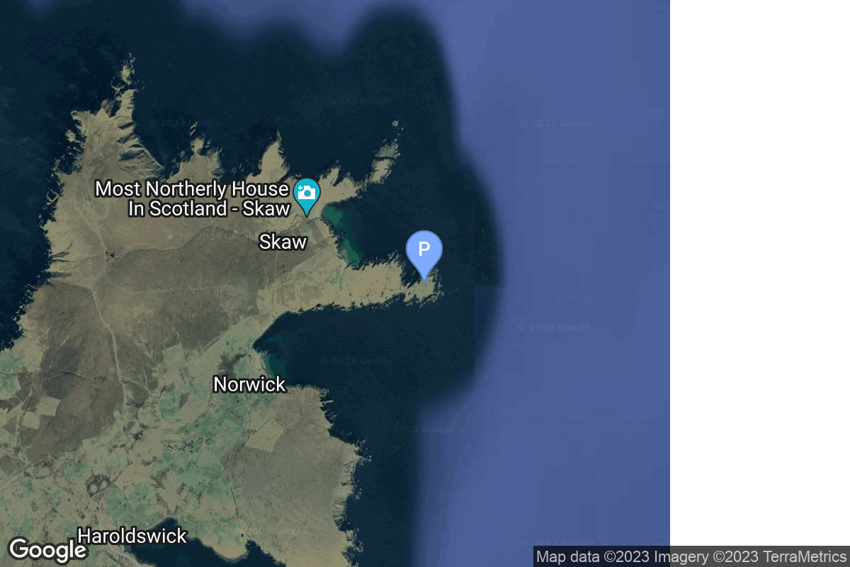
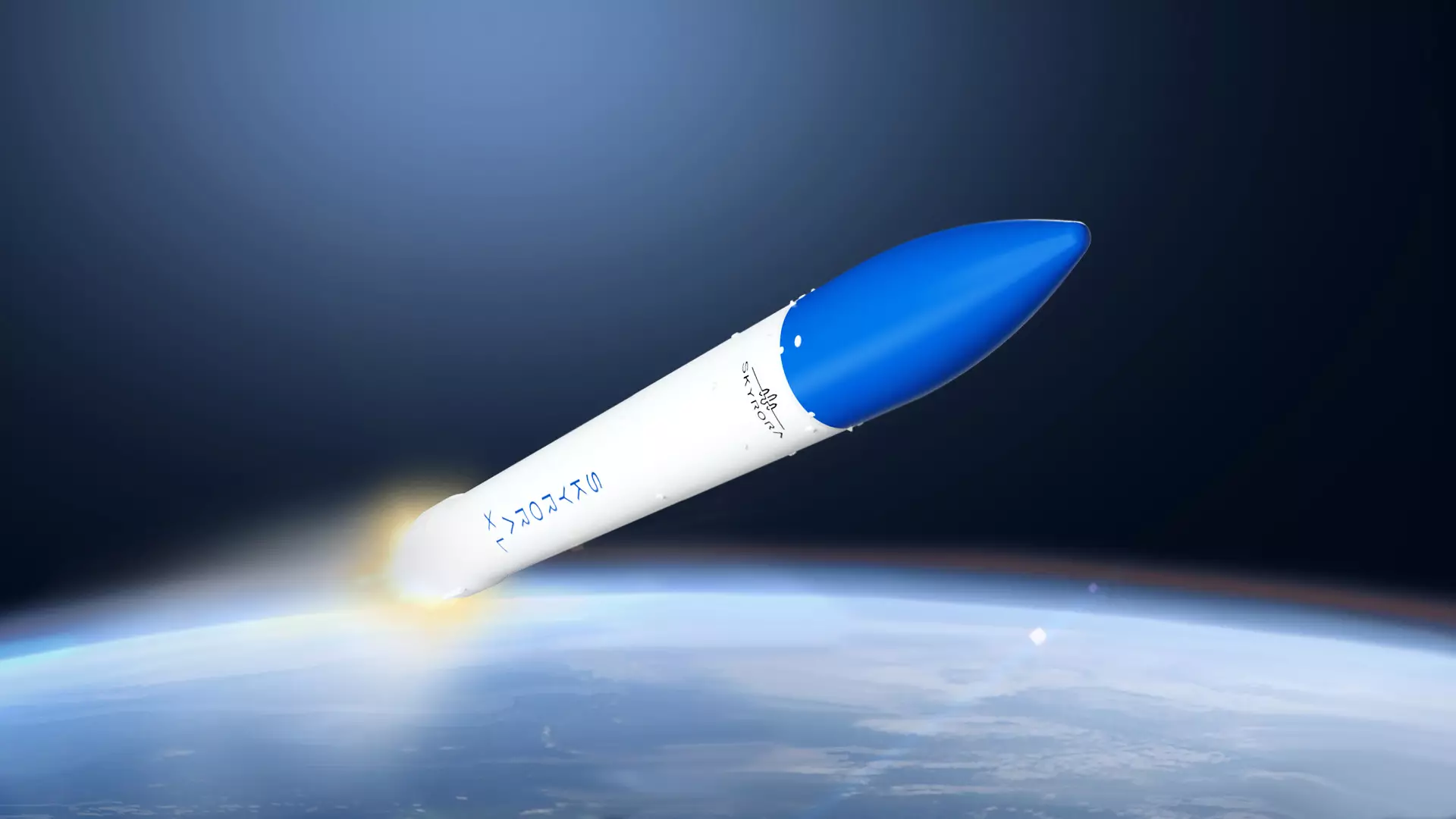
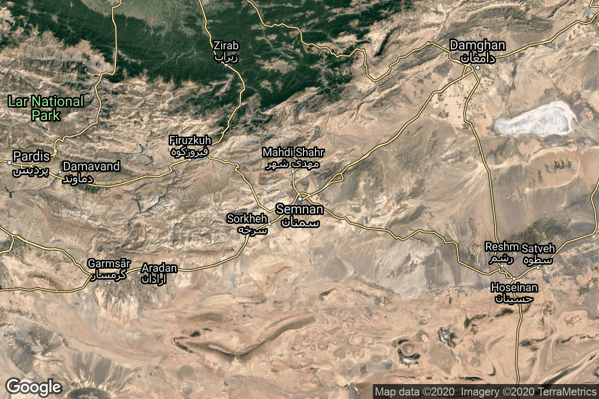
{ "count": 7972, "next": "https://ll.thespacedevs.com/2.2.0/launch/?format=api&limit=10&offset=2970&ordering=-name", "previous": "https://ll.thespacedevs.com/2.2.0/launch/?format=api&limit=10&offset=2950&ordering=-name", "results": [ { "id": "61ba04f7-64c4-443d-836c-151f83954e85", "url": "https://ll.thespacedevs.com/2.2.0/launch/61ba04f7-64c4-443d-836c-151f83954e85/?format=api", "slug": "skyrora-xl-maiden-flight", "name": "Skyrora XL | Maiden flight", "status": { "id": 2, "name": "To Be Determined", "abbrev": "TBD", "description": "Current date is a placeholder or rough estimation based on unreliable or interpreted sources." }, "last_updated": "2025-11-14T13:49:33Z", "net": "2027-12-31T00:00:00Z", "window_end": "2027-12-31T00:00:00Z", "window_start": "2027-12-31T00:00:00Z", "net_precision": { "id": 14, "name": "Year", "abbrev": "Y", "description": "The T-0 is expected in the given year." }, "probability": null, "weather_concerns": null, "holdreason": "", "failreason": "", "hashtag": null, "launch_service_provider": { "id": 1042, "url": "https://ll.thespacedevs.com/2.2.0/agencies/1042/?format=api", "name": "Skyrora", "type": "Private" }, "rocket": { "id": 7705, "configuration": { "id": 485, "url": "https://ll.thespacedevs.com/2.2.0/config/launcher/485/?format=api", "name": "Skyrora XL", "family": "", "full_name": "Skyrora XL", "variant": "XL" } }, "mission": { "id": 6223, "name": "Maiden flight", "description": "First flight of the Skyrora XL launch vehicle", "launch_designator": null, "type": "Test Flight", "orbit": { "id": 17, "name": "Sun-Synchronous Orbit", "abbrev": "SSO" }, "agencies": [ { "id": 1042, "url": "https://ll.thespacedevs.com/2.2.0/agencies/1042/?format=api", "name": "Skyrora", "featured": false, "type": "Private", "country_code": "GBR", "abbrev": "SKR", "description": "Skyrora Ltd is a private space company based in the United Kingdom since 2017.", "administrator": "CEO: Volodymyr Lvykin", "founding_year": "2017", "launchers": "Skyrora", "spacecraft": "", "launch_library_url": null, "total_launch_count": 0, "consecutive_successful_launches": 0, "successful_launches": 0, "failed_launches": 0, "pending_launches": 1, "consecutive_successful_landings": 0, "successful_landings": 0, "failed_landings": 0, "attempted_landings": 0, "info_url": "https://www.skyrora.com/", "wiki_url": "https://en.wikipedia.org/wiki/Skyrora", "logo_url": "https://thespacedevs-prod.nyc3.digitaloceanspaces.com/media/images/skyrora_logo_image_20240325081537.png", "image_url": null, "nation_url": "https://thespacedevs-prod.nyc3.digitaloceanspaces.com/media/images/skyrora_social__image_20240325081654.png" } ], "info_urls": [], "vid_urls": [] }, "pad": { "id": 205, "url": "https://ll.thespacedevs.com/2.2.0/pad/205/?format=api", "agency_id": 1045, "name": "Launch Pad Fredo", "description": null, "info_url": "https://saxavord.com/", "wiki_url": "https://en.wikipedia.org/wiki/SaxaVord_Spaceport", "map_url": "https://www.google.com/maps?q=60.81736038715111,-0.7626391593025057", "latitude": "60.81736038715111", "longitude": "-0.7626391593025057", "location": { "id": 157, "url": "https://ll.thespacedevs.com/2.2.0/location/157/?format=api", "name": "SaxaVord Spaceport", "country_code": "GBR", "description": "SaxaVord Spaceport is a UK spaceport located on the Lamba Ness peninsula on Unst, the most northerly of the inhabited Shetland Islands off the coast of Scotland. The site is near the RAF Saxa Vord radar station and the settlement of Skaw, adjacent to the Saxa Vord distillery.", "map_image": "https://thespacedevs-prod.nyc3.digitaloceanspaces.com/media/map_images/location_saxavord_spaceport_20211102161146.jpg", "timezone_name": "Europe/London", "total_launch_count": 0, "total_landing_count": 0 }, "country_code": "GBR", "map_image": "https://thespacedevs-prod.nyc3.digitaloceanspaces.com/media/map_images/pad_launch_pad_fredo_20230112225206.jpg", "total_launch_count": 0, "orbital_launch_attempt_count": 0 }, "webcast_live": false, "image": "https://thespacedevs-prod.nyc3.digitaloceanspaces.com/media/images/skyrora_xl_image_20221119120357.png", "infographic": null, "program": [], "orbital_launch_attempt_count": 7638, "location_launch_attempt_count": 4, "pad_launch_attempt_count": 2, "agency_launch_attempt_count": 1, "orbital_launch_attempt_count_year": 112, "location_launch_attempt_count_year": 2, "pad_launch_attempt_count_year": 1, "agency_launch_attempt_count_year": 1, "type": "normal" }, { "id": "8695499e-9a59-4673-8519-d162e52984c4", "url": "https://ll.thespacedevs.com/2.2.0/launch/8695499e-9a59-4673-8519-d162e52984c4/?format=api", "slug": "simorgh-zafar-1", "name": "Simorgh | Zafar-1", "status": { "id": 4, "name": "Launch Failure", "abbrev": "Failure", "description": "Either the launch vehicle did not reach orbit, or the payload(s) failed to separate." }, "last_updated": "2024-08-02T16:54:13Z", "net": "2020-02-09T15:45:00Z", "window_end": "2020-02-09T15:45:00Z", "window_start": "2020-02-09T15:45:00Z", "net_precision": null, "probability": null, "weather_concerns": null, "holdreason": "", "failreason": "", "hashtag": null, "launch_service_provider": { "id": 34, "url": "https://ll.thespacedevs.com/2.2.0/agencies/34/?format=api", "name": "Iranian Space Agency", "type": "Government" }, "rocket": { "id": 2658, "configuration": { "id": 142, "url": "https://ll.thespacedevs.com/2.2.0/config/launcher/142/?format=api", "name": "Simorgh", "family": "", "full_name": "Simorgh", "variant": "" } }, "mission": { "id": 1082, "name": "Zafar-1", "description": "Zafar-1 is a small Earth observation satellite with reported ground resolution of 22.5 m. This is also a third attempt for Simorgh rocket to conduct a successful launch.", "launch_designator": null, "type": "Earth Science", "orbit": { "id": 8, "name": "Low Earth Orbit", "abbrev": "LEO" }, "agencies": [], "info_urls": [], "vid_urls": [] }, "pad": { "id": 88, "url": "https://ll.thespacedevs.com/2.2.0/pad/88/?format=api", "agency_id": 34, "name": "Imam Khomeini Spaceport", "description": null, "info_url": null, "wiki_url": "https://en.wikipedia.org/wiki/Imam_Khomeini_Spaceport", "map_url": "https://www.google.com/maps?q=35.237005,53.9505", "latitude": "35.237005", "longitude": "53.9505", "location": { "id": 2, "url": "https://ll.thespacedevs.com/2.2.0/location/2/?format=api", "name": "Semnan Space Center, Islamic Republic of Iran", "country_code": "IRN", "description": "Semnan Space Center is the primary Iranian spaceport, located 50 km southeast of the city of Semnan in the north of the country.", "map_image": "https://thespacedevs-prod.nyc3.digitaloceanspaces.com/media/map_images/location_2_20200803142458.jpg", "timezone_name": "Asia/Tehran", "total_launch_count": 15, "total_landing_count": 0 }, "country_code": "IRN", "map_image": "https://thespacedevs-prod.nyc3.digitaloceanspaces.com/media/map_images/pad_88_20200803143310.jpg", "total_launch_count": 7, "orbital_launch_attempt_count": 7 }, "webcast_live": false, "image": null, "infographic": null, "program": [], "orbital_launch_attempt_count": 5932, "location_launch_attempt_count": 11, "pad_launch_attempt_count": 3, "agency_launch_attempt_count": 11, "orbital_launch_attempt_count_year": 10, "location_launch_attempt_count_year": 1, "pad_launch_attempt_count_year": 1, "agency_launch_attempt_count_year": 1, "type": "normal" }, { "id": "2facca07-91fc-435b-aeb7-953cac57fdee", "url": "https://ll.thespacedevs.com/2.2.0/launch/2facca07-91fc-435b-aeb7-953cac57fdee/?format=api", "slug": "simorgh-unknown-2", "name": "Simorgh | Unknown", "status": { "id": 4, "name": "Launch Failure", "abbrev": "Failure", "description": "Either the launch vehicle did not reach orbit, or the payload(s) failed to separate." }, "last_updated": "2023-06-14T04:17:05Z", "net": "2021-06-12T00:00:00Z", "window_end": "2021-06-12T00:00:00Z", "window_start": "2021-06-12T00:00:00Z", "net_precision": null, "probability": null, "weather_concerns": null, "holdreason": "", "failreason": "Failure was reported per US government sources, however the details were not made public.", "hashtag": null, "launch_service_provider": { "id": 34, "url": "https://ll.thespacedevs.com/2.2.0/agencies/34/?format=api", "name": "Iranian Space Agency", "type": "Government" }, "rocket": { "id": 2960, "configuration": { "id": 142, "url": "https://ll.thespacedevs.com/2.2.0/config/launcher/142/?format=api", "name": "Simorgh", "family": "", "full_name": "Simorgh", "variant": "" } }, "mission": { "id": 1382, "name": "Unknown", "description": "According to U.S. Space Command, Iran suffered a rocket launch failure early on June 12th. While there are no details available as to which rocket was used, what the payload was or how exactly the launch had failed, OSINT efforts suggest that the launcher used was the Simorgh rocket. This makes it a fourth consecutive failure of the Simorgh launch vehicle.", "launch_designator": null, "type": "Government/Top Secret", "orbit": { "id": 8, "name": "Low Earth Orbit", "abbrev": "LEO" }, "agencies": [], "info_urls": [], "vid_urls": [] }, "pad": { "id": 88, "url": "https://ll.thespacedevs.com/2.2.0/pad/88/?format=api", "agency_id": 34, "name": "Imam Khomeini Spaceport", "description": null, "info_url": null, "wiki_url": "https://en.wikipedia.org/wiki/Imam_Khomeini_Spaceport", "map_url": "https://www.google.com/maps?q=35.237005,53.9505", "latitude": "35.237005", "longitude": "53.9505", "location": { "id": 2, "url": "https://ll.thespacedevs.com/2.2.0/location/2/?format=api", "name": "Semnan Space Center, Islamic Republic of Iran", "country_code": "IRN", "description": "Semnan Space Center is the primary Iranian spaceport, located 50 km southeast of the city of Semnan in the north of the country.", "map_image": "https://thespacedevs-prod.nyc3.digitaloceanspaces.com/media/map_images/location_2_20200803142458.jpg", "timezone_name": "Asia/Tehran", "total_launch_count": 15, "total_landing_count": 0 }, "country_code": "IRN", "map_image": "https://thespacedevs-prod.nyc3.digitaloceanspaces.com/media/map_images/pad_88_20200803143310.jpg", "total_launch_count": 7, "orbital_launch_attempt_count": 7 }, "webcast_live": false, "image": null, "infographic": null, "program": [], "orbital_launch_attempt_count": 6090, "location_launch_attempt_count": 12, "pad_launch_attempt_count": 4, "agency_launch_attempt_count": 12, "orbital_launch_attempt_count_year": 53, "location_launch_attempt_count_year": 1, "pad_launch_attempt_count_year": 1, "agency_launch_attempt_count_year": 1, "type": "normal" }, { "id": "c1d2ea04-0884-4cff-82f6-a7a408e6b5ab", "url": "https://ll.thespacedevs.com/2.2.0/launch/c1d2ea04-0884-4cff-82f6-a7a408e6b5ab/?format=api", "slug": "simorgh-unknown", "name": "Simorgh | Unknown", "status": { "id": 4, "name": "Launch Failure", "abbrev": "Failure", "description": "Either the launch vehicle did not reach orbit, or the payload(s) failed to separate." }, "last_updated": "2024-08-02T16:58:26Z", "net": "2017-07-27T09:30:00Z", "window_end": "2017-07-27T09:30:00Z", "window_start": "2017-07-27T09:30:00Z", "net_precision": null, "probability": null, "weather_concerns": null, "holdreason": "", "failreason": "Failure due to a problem with the second stage, which failed after 20 seconds of powered flight (of planned 300 seconds).", "hashtag": null, "launch_service_provider": { "id": 34, "url": "https://ll.thespacedevs.com/2.2.0/agencies/34/?format=api", "name": "Iranian Space Agency", "type": "Government" }, "rocket": { "id": 2018, "configuration": { "id": 142, "url": "https://ll.thespacedevs.com/2.2.0/config/launcher/142/?format=api", "name": "Simorgh", "family": "", "full_name": "Simorgh", "variant": "" } }, "mission": { "id": 633, "name": "Unknown", "description": "First test flight of the Simorgh rocket, intended to reach orbit. Pentagon officials confirmed the launch occurred at around 9:30 UTC on Thursday and did not place a satellite in orbit.", "launch_designator": null, "type": "Test Flight", "orbit": { "id": 8, "name": "Low Earth Orbit", "abbrev": "LEO" }, "agencies": [], "info_urls": [], "vid_urls": [] }, "pad": { "id": 88, "url": "https://ll.thespacedevs.com/2.2.0/pad/88/?format=api", "agency_id": 34, "name": "Imam Khomeini Spaceport", "description": null, "info_url": null, "wiki_url": "https://en.wikipedia.org/wiki/Imam_Khomeini_Spaceport", "map_url": "https://www.google.com/maps?q=35.237005,53.9505", "latitude": "35.237005", "longitude": "53.9505", "location": { "id": 2, "url": "https://ll.thespacedevs.com/2.2.0/location/2/?format=api", "name": "Semnan Space Center, Islamic Republic of Iran", "country_code": "IRN", "description": "Semnan Space Center is the primary Iranian spaceport, located 50 km southeast of the city of Semnan in the north of the country.", "map_image": "https://thespacedevs-prod.nyc3.digitaloceanspaces.com/media/map_images/location_2_20200803142458.jpg", "timezone_name": "Asia/Tehran", "total_launch_count": 15, "total_landing_count": 0 }, "country_code": "IRN", "map_image": "https://thespacedevs-prod.nyc3.digitaloceanspaces.com/media/map_images/pad_88_20200803143310.jpg", "total_launch_count": 7, "orbital_launch_attempt_count": 7 }, "webcast_live": false, "image": null, "infographic": null, "program": [], "orbital_launch_attempt_count": 5661, "location_launch_attempt_count": 8, "pad_launch_attempt_count": 1, "agency_launch_attempt_count": 8, "orbital_launch_attempt_count_year": 46, "location_launch_attempt_count_year": 1, "pad_launch_attempt_count_year": 1, "agency_launch_attempt_count_year": 1, "type": "normal" }, { "id": "9e4da066-b31e-490d-9ade-fe52cf0bd114", "url": "https://ll.thespacedevs.com/2.2.0/launch/9e4da066-b31e-490d-9ade-fe52cf0bd114/?format=api", "slug": "simorgh-payam", "name": "Simorgh | Payam", "status": { "id": 4, "name": "Launch Failure", "abbrev": "Failure", "description": "Either the launch vehicle did not reach orbit, or the payload(s) failed to separate." }, "last_updated": "2024-10-11T17:20:22Z", "net": "2019-01-15T00:30:00Z", "window_end": "2019-01-15T00:30:00Z", "window_start": "2019-01-15T00:30:00Z", "net_precision": null, "probability": null, "weather_concerns": null, "holdreason": "", "failreason": "Issue with the third stage during flight, satellite didn't reach orbit.", "hashtag": null, "launch_service_provider": { "id": 34, "url": "https://ll.thespacedevs.com/2.2.0/agencies/34/?format=api", "name": "Iranian Space Agency", "type": "Government" }, "rocket": { "id": 2200, "configuration": { "id": 142, "url": "https://ll.thespacedevs.com/2.2.0/config/launcher/142/?format=api", "name": "Simorgh", "family": "", "full_name": "Simorgh", "variant": "" } }, "mission": { "id": 960, "name": "Payam", "description": "Payam is a civilian remote sensing satellited developed by Amirkabir University of Technology. It was supposed to be used for Earth imaging to assist agriculture and environment management.", "launch_designator": null, "type": "Earth Science", "orbit": { "id": 8, "name": "Low Earth Orbit", "abbrev": "LEO" }, "agencies": [], "info_urls": [], "vid_urls": [] }, "pad": { "id": 88, "url": "https://ll.thespacedevs.com/2.2.0/pad/88/?format=api", "agency_id": 34, "name": "Imam Khomeini Spaceport", "description": null, "info_url": null, "wiki_url": "https://en.wikipedia.org/wiki/Imam_Khomeini_Spaceport", "map_url": "https://www.google.com/maps?q=35.237005,53.9505", "latitude": "35.237005", "longitude": "53.9505", "location": { "id": 2, "url": "https://ll.thespacedevs.com/2.2.0/location/2/?format=api", "name": "Semnan Space Center, Islamic Republic of Iran", "country_code": "IRN", "description": "Semnan Space Center is the primary Iranian spaceport, located 50 km southeast of the city of Semnan in the north of the country.", "map_image": "https://thespacedevs-prod.nyc3.digitaloceanspaces.com/media/map_images/location_2_20200803142458.jpg", "timezone_name": "Asia/Tehran", "total_launch_count": 15, "total_landing_count": 0 }, "country_code": "IRN", "map_image": "https://thespacedevs-prod.nyc3.digitaloceanspaces.com/media/map_images/pad_88_20200803143310.jpg", "total_launch_count": 7, "orbital_launch_attempt_count": 7 }, "webcast_live": false, "image": null, "infographic": null, "program": [], "orbital_launch_attempt_count": 5823, "location_launch_attempt_count": 9, "pad_launch_attempt_count": 2, "agency_launch_attempt_count": 9, "orbital_launch_attempt_count_year": 3, "location_launch_attempt_count_year": 1, "pad_launch_attempt_count_year": 1, "agency_launch_attempt_count_year": 1, "type": "normal" }, { "id": "3e3b4557-1f4f-46c3-9c6d-ed6fd0f66ef7", "url": "https://ll.thespacedevs.com/2.2.0/launch/3e3b4557-1f4f-46c3-9c6d-ed6fd0f66ef7/?format=api", "slug": "simorgh-mahda-keyhan-2-hatef-1", "name": "Simorgh | Mahda, Keyhan-2 & Hatef-1", "status": { "id": 3, "name": "Launch Successful", "abbrev": "Success", "description": "The launch vehicle successfully inserted its payload(s) into the target orbit(s)." }, "last_updated": "2024-01-28T17:35:25Z", "net": "2024-01-28T00:04:00Z", "window_end": "2024-01-28T00:04:00Z", "window_start": "2024-01-28T00:04:00Z", "net_precision": { "id": 2, "name": "Hour", "abbrev": "HR", "description": "The T-0 is accurate to the hour." }, "probability": null, "weather_concerns": null, "holdreason": "", "failreason": "", "hashtag": null, "launch_service_provider": { "id": 34, "url": "https://ll.thespacedevs.com/2.2.0/agencies/34/?format=api", "name": "Iranian Space Agency", "type": "Government" }, "rocket": { "id": 8187, "configuration": { "id": 142, "url": "https://ll.thespacedevs.com/2.2.0/config/launcher/142/?format=api", "name": "Simorgh", "family": "", "full_name": "Simorgh", "variant": "" } }, "mission": { "id": 6754, "name": "Mahda, Keyhan-2 & Hatef-1", "description": "Mehda is a small satellite testing new satellite subsystems and to monitor multiple payload deployment from the Simorgh launch vehicle. Kahyan-2 is a cubesat by Iran Electronic Industries to test satellite attitude control systems. Hatef-1 is a cubesat by Iran Electronic Industries with an Internet communication payload.", "launch_designator": null, "type": "Technology", "orbit": { "id": 8, "name": "Low Earth Orbit", "abbrev": "LEO" }, "agencies": [], "info_urls": [], "vid_urls": [] }, "pad": { "id": 88, "url": "https://ll.thespacedevs.com/2.2.0/pad/88/?format=api", "agency_id": 34, "name": "Imam Khomeini Spaceport", "description": null, "info_url": null, "wiki_url": "https://en.wikipedia.org/wiki/Imam_Khomeini_Spaceport", "map_url": "https://www.google.com/maps?q=35.237005,53.9505", "latitude": "35.237005", "longitude": "53.9505", "location": { "id": 2, "url": "https://ll.thespacedevs.com/2.2.0/location/2/?format=api", "name": "Semnan Space Center, Islamic Republic of Iran", "country_code": "IRN", "description": "Semnan Space Center is the primary Iranian spaceport, located 50 km southeast of the city of Semnan in the north of the country.", "map_image": "https://thespacedevs-prod.nyc3.digitaloceanspaces.com/media/map_images/location_2_20200803142458.jpg", "timezone_name": "Asia/Tehran", "total_launch_count": 15, "total_landing_count": 0 }, "country_code": "IRN", "map_image": "https://thespacedevs-prod.nyc3.digitaloceanspaces.com/media/map_images/pad_88_20200803143310.jpg", "total_launch_count": 7, "orbital_launch_attempt_count": 7 }, "webcast_live": false, "image": null, "infographic": null, "program": [], "orbital_launch_attempt_count": 6607, "location_launch_attempt_count": 14, "pad_launch_attempt_count": 6, "agency_launch_attempt_count": 14, "orbital_launch_attempt_count_year": 18, "location_launch_attempt_count_year": 1, "pad_launch_attempt_count_year": 1, "agency_launch_attempt_count_year": 1, "type": "normal" }, { "id": "4dfd2e8d-8c43-4cd2-944a-85844419e409", "url": "https://ll.thespacedevs.com/2.2.0/launch/4dfd2e8d-8c43-4cd2-944a-85844419e409/?format=api", "slug": "simorgh-fakhr-1-saman-1", "name": "Simorgh | Fakhr-1 & Saman-1", "status": { "id": 3, "name": "Launch Successful", "abbrev": "Success", "description": "The launch vehicle successfully inserted its payload(s) into the target orbit(s)." }, "last_updated": "2024-12-08T06:02:39Z", "net": "2024-12-06T03:14:00Z", "window_end": "2024-12-06T03:14:00Z", "window_start": "2024-12-06T03:14:00Z", "net_precision": { "id": 1, "name": "Minute", "abbrev": "MIN", "description": "The T-0 is accurate to the minute." }, "probability": null, "weather_concerns": null, "holdreason": "", "failreason": "", "hashtag": null, "launch_service_provider": { "id": 34, "url": "https://ll.thespacedevs.com/2.2.0/agencies/34/?format=api", "name": "Iranian Space Agency", "type": "Government" }, "rocket": { "id": 8441, "configuration": { "id": 142, "url": "https://ll.thespacedevs.com/2.2.0/config/launcher/142/?format=api", "name": "Simorgh", "family": "", "full_name": "Simorgh", "variant": "" } }, "mission": { "id": 7030, "name": "Fakhr-1 & Saman-1", "description": "Fakhr-1 is a 3U size cubesat to test locally produced spacecraft components, a communication payload and launch vehicle's multi-payload carrying capability. Saman-1 is a prototype solid fuel kick stage with 3-axis control for sending payloads into higher orbits.", "launch_designator": null, "type": "Technology", "orbit": { "id": 8, "name": "Low Earth Orbit", "abbrev": "LEO" }, "agencies": [], "info_urls": [], "vid_urls": [] }, "pad": { "id": 88, "url": "https://ll.thespacedevs.com/2.2.0/pad/88/?format=api", "agency_id": 34, "name": "Imam Khomeini Spaceport", "description": null, "info_url": null, "wiki_url": "https://en.wikipedia.org/wiki/Imam_Khomeini_Spaceport", "map_url": "https://www.google.com/maps?q=35.237005,53.9505", "latitude": "35.237005", "longitude": "53.9505", "location": { "id": 2, "url": "https://ll.thespacedevs.com/2.2.0/location/2/?format=api", "name": "Semnan Space Center, Islamic Republic of Iran", "country_code": "IRN", "description": "Semnan Space Center is the primary Iranian spaceport, located 50 km southeast of the city of Semnan in the north of the country.", "map_image": "https://thespacedevs-prod.nyc3.digitaloceanspaces.com/media/map_images/location_2_20200803142458.jpg", "timezone_name": "Asia/Tehran", "total_launch_count": 15, "total_landing_count": 0 }, "country_code": "IRN", "map_image": "https://thespacedevs-prod.nyc3.digitaloceanspaces.com/media/map_images/pad_88_20200803143310.jpg", "total_launch_count": 7, "orbital_launch_attempt_count": 7 }, "webcast_live": false, "image": null, "infographic": null, "program": [], "orbital_launch_attempt_count": 6829, "location_launch_attempt_count": 15, "pad_launch_attempt_count": 7, "agency_launch_attempt_count": 15, "orbital_launch_attempt_count_year": 240, "location_launch_attempt_count_year": 2, "pad_launch_attempt_count_year": 2, "agency_launch_attempt_count_year": 2, "type": "normal" }, { "id": "335aae0f-3c89-4ab8-a446-7078222220b3", "url": "https://ll.thespacedevs.com/2.2.0/launch/335aae0f-3c89-4ab8-a446-7078222220b3/?format=api", "slug": "simorgh-3-unknown-payloads", "name": "Simorgh | 3 unknown payloads", "status": { "id": 4, "name": "Launch Failure", "abbrev": "Failure", "description": "Either the launch vehicle did not reach orbit, or the payload(s) failed to separate." }, "last_updated": "2023-06-14T04:17:06Z", "net": "2021-12-30T03:30:00Z", "window_end": "2021-12-30T03:30:00Z", "window_start": "2021-12-30T03:30:00Z", "net_precision": null, "probability": null, "weather_concerns": null, "holdreason": "", "failreason": "Although official reports by Iran call this a successful launch, no objects have been detected in orbit. The general consensus is that it was a failed orbital launch attempt.", "hashtag": null, "launch_service_provider": { "id": 34, "url": "https://ll.thespacedevs.com/2.2.0/agencies/34/?format=api", "name": "Iranian Space Agency", "type": "Government" }, "rocket": { "id": 7502, "configuration": { "id": 142, "url": "https://ll.thespacedevs.com/2.2.0/config/launcher/142/?format=api", "name": "Simorgh", "family": "", "full_name": "Simorgh", "variant": "" } }, "mission": { "id": 5912, "name": "3 unknown payloads", "description": "Three unknown research payloads are reported to have been sent into space, according to the Iranian Ministry of Defense. However, no new objects are being tracked in the orbit after this launch attempt so it is considered a failure despite Iran's reports of success.", "launch_designator": null, "type": "Unknown", "orbit": { "id": 8, "name": "Low Earth Orbit", "abbrev": "LEO" }, "agencies": [], "info_urls": [], "vid_urls": [] }, "pad": { "id": 88, "url": "https://ll.thespacedevs.com/2.2.0/pad/88/?format=api", "agency_id": 34, "name": "Imam Khomeini Spaceport", "description": null, "info_url": null, "wiki_url": "https://en.wikipedia.org/wiki/Imam_Khomeini_Spaceport", "map_url": "https://www.google.com/maps?q=35.237005,53.9505", "latitude": "35.237005", "longitude": "53.9505", "location": { "id": 2, "url": "https://ll.thespacedevs.com/2.2.0/location/2/?format=api", "name": "Semnan Space Center, Islamic Republic of Iran", "country_code": "IRN", "description": "Semnan Space Center is the primary Iranian spaceport, located 50 km southeast of the city of Semnan in the north of the country.", "map_image": "https://thespacedevs-prod.nyc3.digitaloceanspaces.com/media/map_images/location_2_20200803142458.jpg", "timezone_name": "Asia/Tehran", "total_launch_count": 15, "total_landing_count": 0 }, "country_code": "IRN", "map_image": "https://thespacedevs-prod.nyc3.digitaloceanspaces.com/media/map_images/pad_88_20200803143310.jpg", "total_launch_count": 7, "orbital_launch_attempt_count": 7 }, "webcast_live": false, "image": null, "infographic": null, "program": [], "orbital_launch_attempt_count": 6182, "location_launch_attempt_count": 13, "pad_launch_attempt_count": 5, "agency_launch_attempt_count": 13, "orbital_launch_attempt_count_year": 145, "location_launch_attempt_count_year": 2, "pad_launch_attempt_count_year": 2, "agency_launch_attempt_count_year": 2, "type": "normal" }, { "id": "ebff3b1e-84b3-4b0a-a808-d4e1b651dfca", "url": "https://ll.thespacedevs.com/2.2.0/launch/ebff3b1e-84b3-4b0a-a808-d4e1b651dfca/?format=api", "slug": "shtil-1-tubsat-n-n1", "name": "Shtil'-1 | Tubsat-N & N1", "status": { "id": 3, "name": "Launch Successful", "abbrev": "Success", "description": "The launch vehicle successfully inserted its payload(s) into the target orbit(s)." }, "last_updated": "2023-06-14T04:25:23Z", "net": "1998-07-07T03:15:00Z", "window_end": "1998-07-07T03:15:00Z", "window_start": "1998-07-07T03:15:00Z", "net_precision": null, "probability": null, "weather_concerns": null, "holdreason": "", "failreason": null, "hashtag": null, "launch_service_provider": { "id": 1013, "url": "https://ll.thespacedevs.com/2.2.0/agencies/1013/?format=api", "name": "Makeyev Rocket Design Bureau", "type": "Commercial" }, "rocket": { "id": 6866, "configuration": { "id": 372, "url": "https://ll.thespacedevs.com/2.2.0/config/launcher/372/?format=api", "name": "Shtil'-1", "family": "", "full_name": "Shtil'-1", "variant": "1" } }, "mission": { "id": 5256, "name": "Tubsat-N & N1", "description": "TUBSAT-N and Tubsat-N1 are two nanosatellites, which were launched on the 7th of July 1998 as a satellite cluster from a submarine with a russian Shtil-1 rocket in the Barents Sea. All systems are working well and the satellites are in a excellent overall condition. The satellites were separated in orbit via telecommand. Both satellites were developed at the Technical University of Berlin and the complete project was financed by DLR.", "launch_designator": null, "type": "Communications", "orbit": { "id": 8, "name": "Low Earth Orbit", "abbrev": "LEO" }, "agencies": [], "info_urls": [], "vid_urls": [] }, "pad": { "id": 147, "url": "https://ll.thespacedevs.com/2.2.0/pad/147/?format=api", "agency_id": null, "name": "Novomoskovsk (K-407)", "description": null, "info_url": null, "wiki_url": "https://en.wikipedia.org/wiki/Russian_submarine_Novomoskovsk_(K-407)", "map_url": "https://www.google.com/maps?q=74.000000,38.000000", "latitude": "74.0", "longitude": "38.0", "location": { "id": 3, "url": "https://ll.thespacedevs.com/2.2.0/location/3/?format=api", "name": "Sea Launch", "country_code": "???", "description": "", "map_image": "https://thespacedevs-prod.nyc3.digitaloceanspaces.com/media/map_images/location_3_20200803142448.jpg", "timezone_name": "", "total_launch_count": 40, "total_landing_count": 0 }, "country_code": "RUS", "map_image": "https://thespacedevs-prod.nyc3.digitaloceanspaces.com/media/map_images/pad_147_20200803143422.jpg", "total_launch_count": 1, "orbital_launch_attempt_count": 1 }, "webcast_live": false, "image": null, "infographic": null, "program": [], "orbital_launch_attempt_count": 4250, "location_launch_attempt_count": 1, "pad_launch_attempt_count": 1, "agency_launch_attempt_count": 1, "orbital_launch_attempt_count_year": 43, "location_launch_attempt_count_year": 1, "pad_launch_attempt_count_year": 1, "agency_launch_attempt_count_year": 1, "type": "normal" }, { "id": "2f842ac8-812b-46ff-80c5-8d619aad1e85", "url": "https://ll.thespacedevs.com/2.2.0/launch/2f842ac8-812b-46ff-80c5-8d619aad1e85/?format=api", "slug": "shtil-1-compass-2", "name": "Shtil'-1 | COMPASS-2", "status": { "id": 3, "name": "Launch Successful", "abbrev": "Success", "description": "The launch vehicle successfully inserted its payload(s) into the target orbit(s)." }, "last_updated": "2023-06-14T04:25:24Z", "net": "2006-05-26T18:50:00Z", "window_end": "2006-05-26T18:50:00Z", "window_start": "2006-05-26T18:50:00Z", "net_precision": null, "probability": null, "weather_concerns": null, "holdreason": "", "failreason": null, "hashtag": null, "launch_service_provider": { "id": 1013, "url": "https://ll.thespacedevs.com/2.2.0/agencies/1013/?format=api", "name": "Makeyev Rocket Design Bureau", "type": "Commercial" }, "rocket": { "id": 7268, "configuration": { "id": 372, "url": "https://ll.thespacedevs.com/2.2.0/config/launcher/372/?format=api", "name": "Shtil'-1", "family": "", "full_name": "Shtil'-1", "variant": "1" } }, "mission": { "id": 5657, "name": "COMPASS-2", "description": "The COMPASS-2 or DragSail-Cubesat cubesat project is conducted at the Fachhochschule Aachen for educational purposes and technology demonstration. COMPASS-2 is an universal experimental satellite bus, providing the subsystems for the payloads such as electric power, data storage and handling, attitude control and communication. The center 1U module contains the satellite's avionics, while the two outer 1U payload boxes offer companies and universities an easy way to test and validate their experiments in space.", "launch_designator": null, "type": "Communications", "orbit": { "id": 8, "name": "Low Earth Orbit", "abbrev": "LEO" }, "agencies": [], "info_urls": [], "vid_urls": [] }, "pad": { "id": 149, "url": "https://ll.thespacedevs.com/2.2.0/pad/149/?format=api", "agency_id": null, "name": "Ekaterinburg (K-84)", "description": null, "info_url": null, "wiki_url": "https://en.wikipedia.org/wiki/Russian_submarine_Ekaterinburg_(K-84)", "map_url": "https://www.google.com/maps?q=74.000000,38.0000", "latitude": "74.0", "longitude": "38.0", "location": { "id": 3, "url": "https://ll.thespacedevs.com/2.2.0/location/3/?format=api", "name": "Sea Launch", "country_code": "???", "description": "", "map_image": "https://thespacedevs-prod.nyc3.digitaloceanspaces.com/media/map_images/location_3_20200803142448.jpg", "timezone_name": "", "total_launch_count": 40, "total_landing_count": 0 }, "country_code": "RUS", "map_image": "https://thespacedevs-prod.nyc3.digitaloceanspaces.com/media/map_images/pad_149_20200803143409.jpg", "total_launch_count": 1, "orbital_launch_attempt_count": 1 }, "webcast_live": false, "image": null, "infographic": null, "program": [], "orbital_launch_attempt_count": 4771, "location_launch_attempt_count": 23, "pad_launch_attempt_count": 1, "agency_launch_attempt_count": 3, "orbital_launch_attempt_count_year": 21, "location_launch_attempt_count_year": 3, "pad_launch_attempt_count_year": 1, "agency_launch_attempt_count_year": 1, "type": "normal" } ] }