Launch List
AN API endpoint that returns all Launch objects or a single launch.
EXAMPLE - /launch/[id]/ or /launch/?mode=list&search=SpaceX
GET Return a list of all Launch objects.
FILTERS Fields - 'name', 'id(s)', 'lsp__id', 'lsp__name', 'serial_number', 'launcher_config__id', 'rocket__spacecraftflight__spacecraft__name', 'is_crewed', 'include_suborbital', 'spacecraft_config__ids', 'related', 'location__ids', 'lsp__ids', 'pad__ids', 'status__ids'
MODE 'normal', 'list', 'detailed'
EXAMPLE ?mode=list
SEARCH Searches through the launch name, rocket name, launch agency, mission name & spacecraft name.
EXAMPLE - ?search=SpaceX
GET /2.2.0/launch/?format=api&offset=2950&ordering=-net
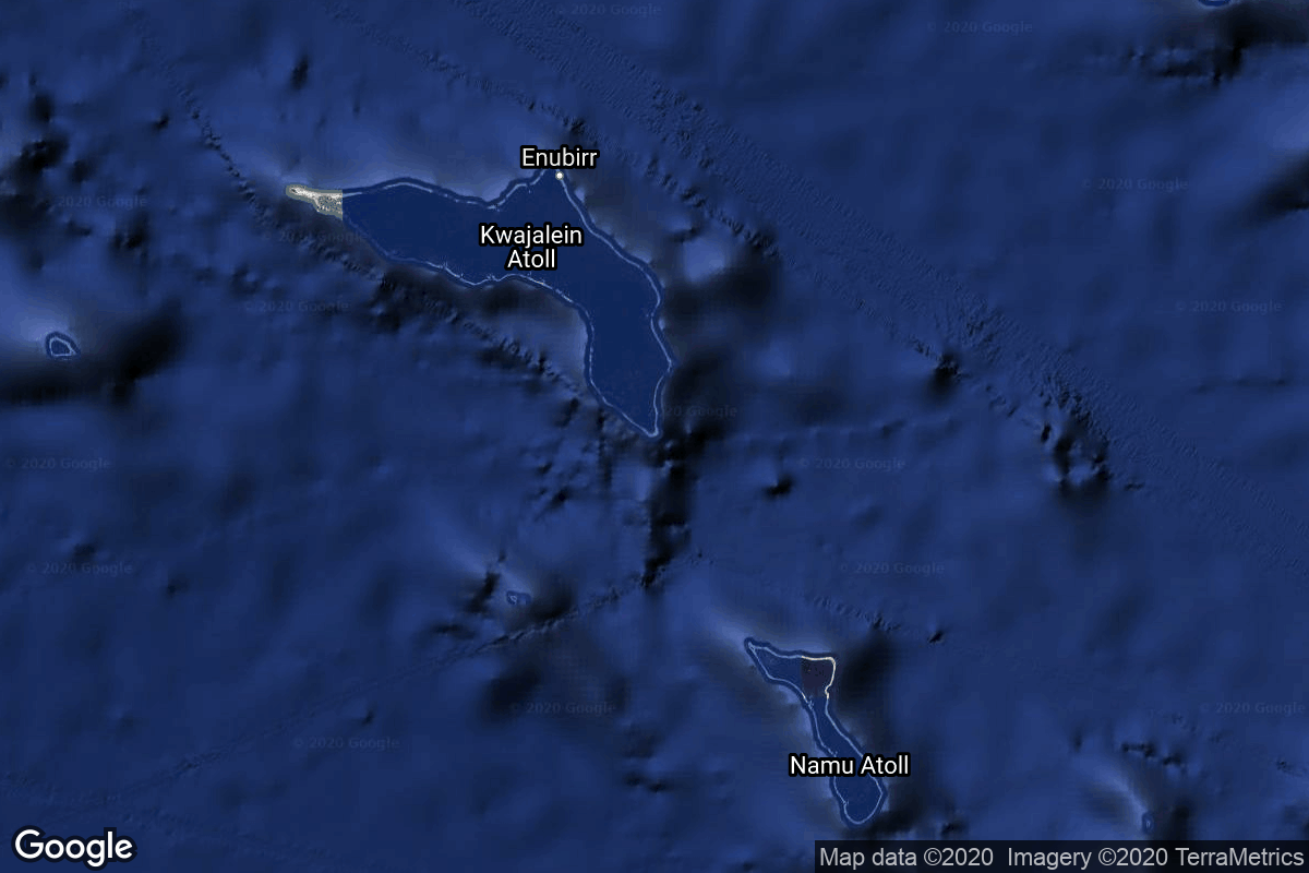
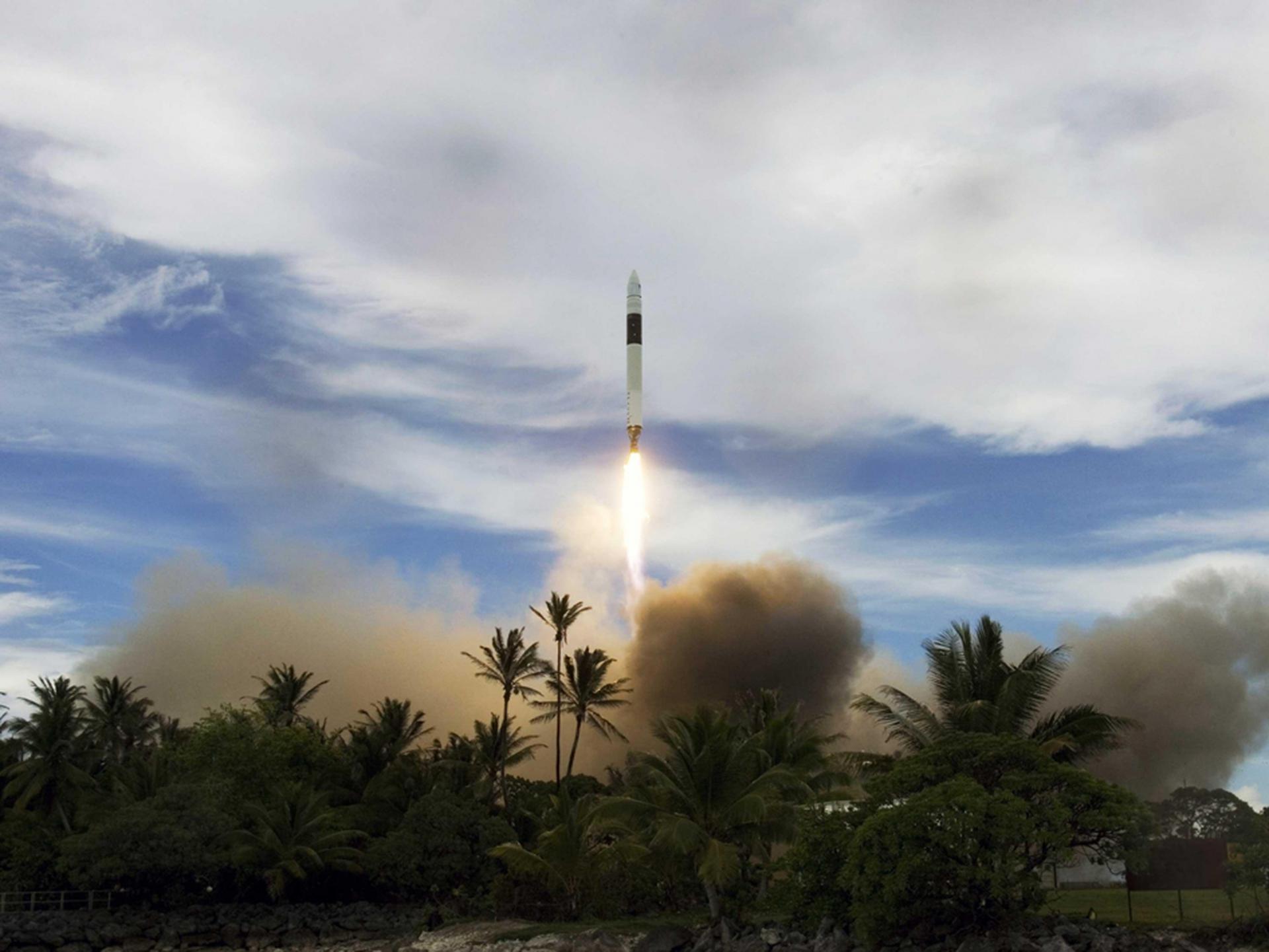
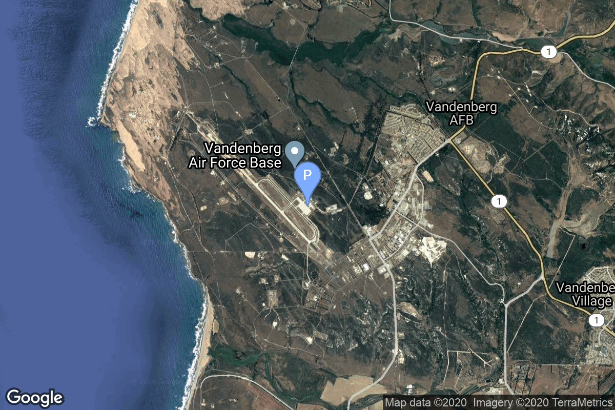
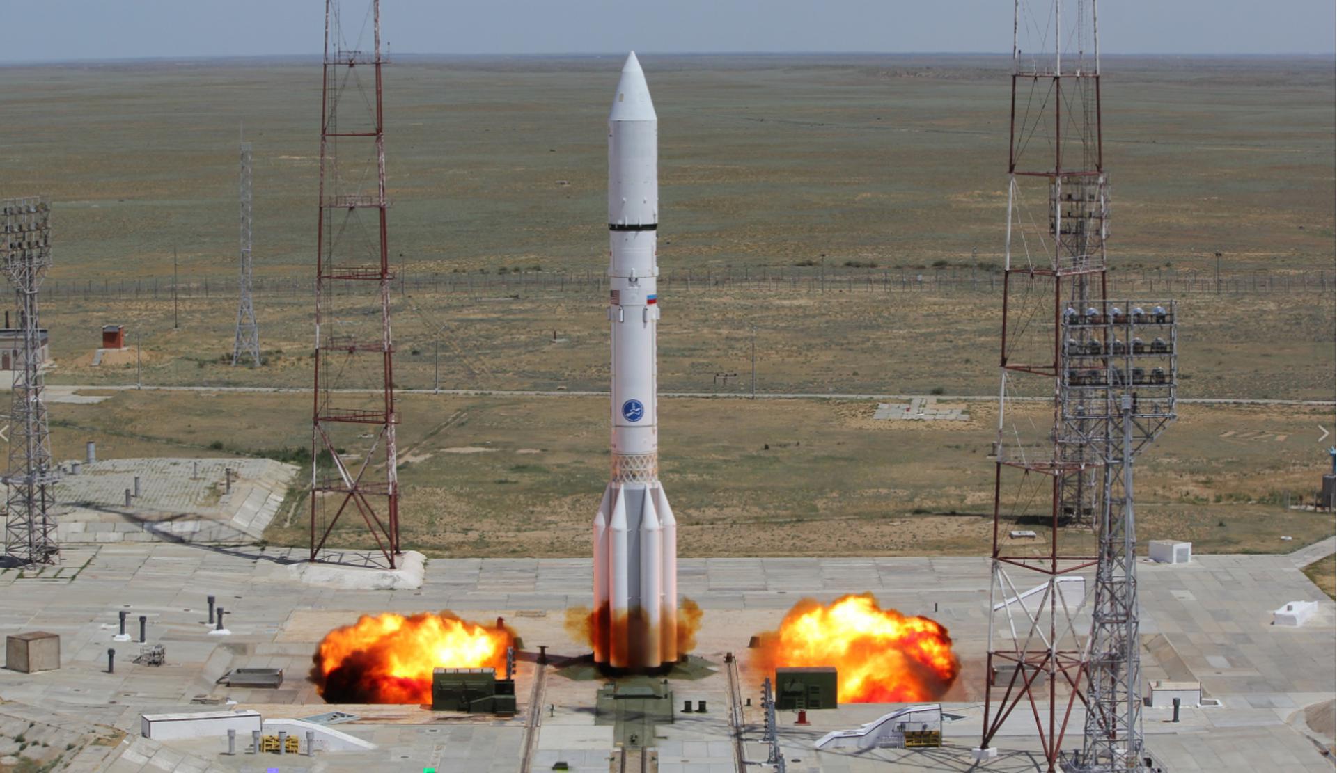
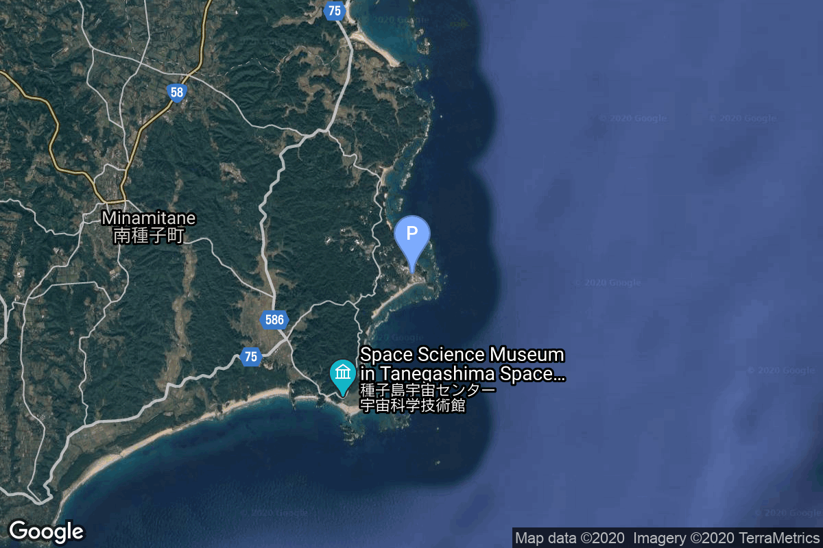
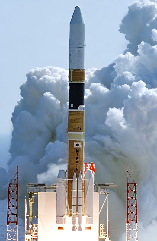
{ "count": 7775, "next": "https://ll.thespacedevs.com/2.2.0/launch/?format=api&limit=10&offset=2960&ordering=-net", "previous": "https://ll.thespacedevs.com/2.2.0/launch/?format=api&limit=10&offset=2940&ordering=-net", "results": [ { "id": "b8741d6a-bf47-44eb-b740-f091b5fd3c62", "url": "https://ll.thespacedevs.com/2.2.0/launch/b8741d6a-bf47-44eb-b740-f091b5fd3c62/?format=api", "slug": "falcon-1-falconsat-2", "name": "Falcon 1 | FalconSAT-2", "status": { "id": 4, "name": "Launch Failure", "abbrev": "Failure", "description": "Either the launch vehicle did not reach orbit, or the payload(s) failed to separate." }, "last_updated": "2023-07-08T08:08:29Z", "net": "2006-03-24T22:30:00Z", "window_end": "2006-03-24T22:30:00Z", "window_start": "2006-03-24T22:30:00Z", "net_precision": null, "probability": null, "weather_concerns": null, "holdreason": "", "failreason": "Engine failure at T+33 seconds", "hashtag": null, "launch_service_provider": { "id": 121, "url": "https://ll.thespacedevs.com/2.2.0/agencies/121/?format=api", "name": "SpaceX", "type": "Commercial" }, "rocket": { "id": 519, "configuration": { "id": 133, "url": "https://ll.thespacedevs.com/2.2.0/config/launcher/133/?format=api", "name": "Falcon 1", "family": "Falcon", "full_name": "Falcon 1", "variant": "1" } }, "mission": { "id": 6458, "name": "FalconSAT-2", "description": "FalconSAT-2 was a satellite built by students of the United States Air Force Academy. It was intended to have been placed into low Earth orbit to study the effects of plasma on communications with spacecraft, however it failed to reach orbit due to a malfunction of its carrier rocket.It landed in a storage shed on Omelek Island, just a few feet from its own shipping container", "launch_designator": null, "type": "Technology", "orbit": { "id": 8, "name": "Low Earth Orbit", "abbrev": "LEO" }, "agencies": [], "info_urls": [], "vid_urls": [] }, "pad": { "id": 107, "url": "https://ll.thespacedevs.com/2.2.0/pad/107/?format=api", "agency_id": null, "name": "Omelek Island", "description": null, "info_url": null, "wiki_url": "https://en.wikipedia.org/wiki/Omelek_Island", "map_url": "https://www.google.com/maps?q=9.047861,167.743", "latitude": "9.047861", "longitude": "167.743", "location": { "id": 142, "url": "https://ll.thespacedevs.com/2.2.0/location/142/?format=api", "name": "Ronald Reagan Ballistic Missile Defense Test Site, Kwajalein Atoll, Marshall Islands", "country_code": "MHL", "description": "The Ronald Reagan Ballistic Missile Defense Test Site is a missile test range in Marshall Islands. It covers about 750,000 square miles (1,900,000 km2) and includes rocket launch sites at the Kwajalein Atoll (on multiple islands), Wake Island, and Aur Atoll. It primarily functions as a test facility for U.S. missile defense and space research programs.", "map_image": "https://thespacedevs-prod.nyc3.digitaloceanspaces.com/media/map_images/location_142_20200803142511.jpg", "timezone_name": "Pacific/Tarawa", "total_launch_count": 5, "total_landing_count": 0 }, "country_code": "MHL", "map_image": "https://thespacedevs-prod.nyc3.digitaloceanspaces.com/media/map_images/pad_107_20200803143450.jpg", "total_launch_count": 5, "orbital_launch_attempt_count": 5 }, "webcast_live": false, "image": "https://thespacedevs-prod.nyc3.digitaloceanspaces.com/media/images/falcon_image_20190222030438.jpeg", "infographic": null, "program": [], "orbital_launch_attempt_count": 4759, "location_launch_attempt_count": 1, "pad_launch_attempt_count": 1, "agency_launch_attempt_count": 1, "orbital_launch_attempt_count_year": 9, "location_launch_attempt_count_year": 1, "pad_launch_attempt_count_year": 1, "agency_launch_attempt_count_year": 1, "type": "normal" }, { "id": "9f603738-1959-46c1-b909-19a80f2aac44", "url": "https://ll.thespacedevs.com/2.2.0/launch/9f603738-1959-46c1-b909-19a80f2aac44/?format=api", "slug": "pegasus-xl-st-5-fwd", "name": "Pegasus XL | ST-5 FWD", "status": { "id": 3, "name": "Launch Successful", "abbrev": "Success", "description": "The launch vehicle successfully inserted its payload(s) into the target orbit(s)." }, "last_updated": "2023-06-14T03:55:13Z", "net": "2006-03-22T14:03:45Z", "window_end": "2006-03-22T14:03:45Z", "window_start": "2006-03-22T14:03:45Z", "net_precision": null, "probability": null, "weather_concerns": null, "holdreason": "", "failreason": null, "hashtag": null, "launch_service_provider": { "id": 100, "url": "https://ll.thespacedevs.com/2.2.0/agencies/100/?format=api", "name": "Orbital Sciences Corporation", "type": "Commercial" }, "rocket": { "id": 7259, "configuration": { "id": 173, "url": "https://ll.thespacedevs.com/2.2.0/config/launcher/173/?format=api", "name": "Pegasus XL", "family": "Pegasus", "full_name": "Pegasus XL", "variant": "" } }, "mission": { "id": 5648, "name": "ST-5 FWD", "description": "NASA's three micro-sats were launched to test and validate new technologies for future science missions. ST5's objective was to demonstrate and flight qualify several innovative technologies and concepts for application to future space missions.", "launch_designator": null, "type": "Test Flight", "orbit": { "id": 8, "name": "Low Earth Orbit", "abbrev": "LEO" }, "agencies": [], "info_urls": [], "vid_urls": [] }, "pad": { "id": 62, "url": "https://ll.thespacedevs.com/2.2.0/pad/62/?format=api", "agency_id": null, "name": "Vandenberg Space Force Base", "description": null, "info_url": null, "wiki_url": "https://en.wikipedia.org/wiki/Vandenberg_Space_Force_Base", "map_url": "https://www.google.com/maps?q=34.732778,-120.568056", "latitude": "34.732778", "longitude": "-120.568056", "location": { "id": 20, "url": "https://ll.thespacedevs.com/2.2.0/location/20/?format=api", "name": "Air launch to orbit", "country_code": "???", "description": "", "map_image": "https://thespacedevs-prod.nyc3.digitaloceanspaces.com/media/map_images/location_20_20200803142433.jpg", "timezone_name": "", "total_launch_count": 51, "total_landing_count": 0 }, "country_code": "USA", "map_image": "https://thespacedevs-prod.nyc3.digitaloceanspaces.com/media/map_images/pad_62_20200803143441.jpg", "total_launch_count": 22, "orbital_launch_attempt_count": 22 }, "webcast_live": false, "image": "https://thespacedevs-prod.nyc3.digitaloceanspaces.com/media/images/pegasus_xl_moun_image_20240307124328.jpeg", "infographic": null, "program": [], "orbital_launch_attempt_count": 4758, "location_launch_attempt_count": 36, "pad_launch_attempt_count": 18, "agency_launch_attempt_count": 48, "orbital_launch_attempt_count_year": 8, "location_launch_attempt_count_year": 1, "pad_launch_attempt_count_year": 1, "agency_launch_attempt_count_year": 1, "type": "normal" }, { "id": "8ce1ad45-95f2-4eec-84bb-f96ba0ddab08", "url": "https://ll.thespacedevs.com/2.2.0/launch/8ce1ad45-95f2-4eec-84bb-f96ba0ddab08/?format=api", "slug": "ariane-5-eca-spainsat-hot-bird-7a", "name": "Ariane 5 ECA | Spainsat & Hot Bird 7A", "status": { "id": 3, "name": "Launch Successful", "abbrev": "Success", "description": "The launch vehicle successfully inserted its payload(s) into the target orbit(s)." }, "last_updated": "2023-06-14T04:00:48Z", "net": "2006-03-11T22:33:00Z", "window_end": "2006-03-11T22:33:00Z", "window_start": "2006-03-11T22:33:00Z", "net_precision": null, "probability": null, "weather_concerns": null, "holdreason": "", "failreason": null, "hashtag": null, "launch_service_provider": { "id": 115, "url": "https://ll.thespacedevs.com/2.2.0/agencies/115/?format=api", "name": "Arianespace", "type": "Commercial" }, "rocket": { "id": 518, "configuration": { "id": 20, "url": "https://ll.thespacedevs.com/2.2.0/config/launcher/20/?format=api", "name": "Ariane 5 ECA", "family": "Ariane", "full_name": "Ariane 5 ECA", "variant": "ECA" } }, "mission": { "id": 605, "name": "Spainsat & Hot Bird 7A", "description": "Spainsat is a Spanish telecommunications satellite used for military and government communications. Providing coverage ranging from the US, South America and the Middle East, including Africa and Europe. Hot Bird is a group of satellites operated by Eutelsat located at 13 degrees East, with a transmitting footprint over Europe, North Africa and the Middle East.", "launch_designator": null, "type": "Communications", "orbit": { "id": 2, "name": "Geostationary Transfer Orbit", "abbrev": "GTO" }, "agencies": [], "info_urls": [], "vid_urls": [] }, "pad": { "id": 77, "url": "https://ll.thespacedevs.com/2.2.0/pad/77/?format=api", "agency_id": 115, "name": "Ariane Launch Area 3", "description": "ELA-3, is a launch pad and associated facilities at the Centre Spatial Guyanais in French Guiana. ELA-3 was operated by Arianespace as part of the expendable launch system for Ariane 5 launch vehicles.", "info_url": null, "wiki_url": "https://en.wikipedia.org/wiki/ELA-3", "map_url": "https://www.google.com/maps?q=5.239,-52.768", "latitude": "5.239", "longitude": "-52.768", "location": { "id": 13, "url": "https://ll.thespacedevs.com/2.2.0/location/13/?format=api", "name": "Guiana Space Centre, French Guiana", "country_code": "GUF", "description": "The Guiana Space Centre is a European spaceport to the northwest of Kourou in French Guiana, a region of France in South America. Kourou is located at a latitude of 5°. In operation since 1968, it is a suitable location for a spaceport because of its equatorial location and open sea to the east.", "map_image": "https://thespacedevs-prod.nyc3.digitaloceanspaces.com/media/map_images/location_13_20200803142412.jpg", "timezone_name": "America/Cayenne", "total_launch_count": 330, "total_landing_count": 0 }, "country_code": "GUF", "map_image": "https://thespacedevs-prod.nyc3.digitaloceanspaces.com/media/map_images/pad_77_20200803143458.jpg", "total_launch_count": 118, "orbital_launch_attempt_count": 118 }, "webcast_live": false, "image": "https://thespacedevs-prod.nyc3.digitaloceanspaces.com/media/images/ariane252052520eca_image_20190224012333.jpeg", "infographic": null, "program": [], "orbital_launch_attempt_count": 4757, "location_launch_attempt_count": 179, "pad_launch_attempt_count": 26, "agency_launch_attempt_count": 165, "orbital_launch_attempt_count_year": 7, "location_launch_attempt_count_year": 1, "pad_launch_attempt_count_year": 1, "agency_launch_attempt_count_year": 1, "type": "normal" }, { "id": "7f781fe3-4819-470d-9394-2b52efa824ae", "url": "https://ll.thespacedevs.com/2.2.0/launch/7f781fe3-4819-470d-9394-2b52efa824ae/?format=api", "slug": "proton-m-briz-m-arabsat-4a", "name": "Proton-M Briz-M | Arabsat 4A", "status": { "id": 4, "name": "Launch Failure", "abbrev": "Failure", "description": "Either the launch vehicle did not reach orbit, or the payload(s) failed to separate." }, "last_updated": "2023-06-14T03:35:05Z", "net": "2006-02-28T20:10:00Z", "window_end": "2006-02-28T20:10:00Z", "window_start": "2006-02-28T20:10:00Z", "net_precision": null, "probability": null, "weather_concerns": null, "holdreason": "", "failreason": null, "hashtag": null, "launch_service_provider": { "id": 96, "url": "https://ll.thespacedevs.com/2.2.0/agencies/96/?format=api", "name": "Khrunichev State Research and Production Space Center", "type": "Government" }, "rocket": { "id": 7258, "configuration": { "id": 22, "url": "https://ll.thespacedevs.com/2.2.0/config/launcher/22/?format=api", "name": "Proton-M Briz-M", "family": "Proton / UR-500", "full_name": "Proton-M Briz-M", "variant": "Briz-M" } }, "mission": { "id": 5647, "name": "Arabsat 4A", "description": "The Arabsat-4 spacecraft are based on the Eurostar-2000+ version of the Eurostar satellite family. Both satellites received the names Badr-1 and Badr-4 respectively in February 2006. Badr 1 did not reach its planned orbit, when the upper stage of the Proton-M Briz-M (Ph.3) launch vehicle failed. After evaluating a lunar fly-by maneuvre to rescue the satellite, Badr 1 was deorbited on 24.03.2006 over the pacific.", "launch_designator": null, "type": "Communications", "orbit": { "id": 1, "name": "Geostationary Orbit", "abbrev": "Direct-GEO" }, "agencies": [], "info_urls": [], "vid_urls": [] }, "pad": { "id": 15, "url": "https://ll.thespacedevs.com/2.2.0/pad/15/?format=api", "agency_id": null, "name": "200/39 (200L)", "description": null, "info_url": null, "wiki_url": "", "map_url": "https://www.google.com/maps?q=46.039984,63.032093", "latitude": "46.039984", "longitude": "63.032093", "location": { "id": 15, "url": "https://ll.thespacedevs.com/2.2.0/location/15/?format=api", "name": "Baikonur Cosmodrome, Republic of Kazakhstan", "country_code": "KAZ", "description": "The Baikonur Cosmodrome is a spaceport operated by Russia within Kazakhstan. Located in the Kazakh city of Baikonur, it is the largest operational space launch facility in terms of area. All Russian crewed spaceflights are launched from Baikonur.", "map_image": "https://thespacedevs-prod.nyc3.digitaloceanspaces.com/media/map_images/location_15_20200803142517.jpg", "timezone_name": "Asia/Qyzylorda", "total_launch_count": 1559, "total_landing_count": 0 }, "country_code": "KAZ", "map_image": "https://thespacedevs-prod.nyc3.digitaloceanspaces.com/media/map_images/pad_15_20200803143530.jpg", "total_launch_count": 167, "orbital_launch_attempt_count": 167 }, "webcast_live": false, "image": "https://thespacedevs-prod.nyc3.digitaloceanspaces.com/media/images/proton-m2520briz-m_image_20190224012317.jpeg", "infographic": null, "program": [], "orbital_launch_attempt_count": 4756, "location_launch_attempt_count": 1252, "pad_launch_attempt_count": 103, "agency_launch_attempt_count": 118, "orbital_launch_attempt_count_year": 6, "location_launch_attempt_count_year": 1, "pad_launch_attempt_count_year": 1, "agency_launch_attempt_count_year": 1, "type": "normal" }, { "id": "0680c355-6b69-49bd-9018-10910396197c", "url": "https://ll.thespacedevs.com/2.2.0/launch/0680c355-6b69-49bd-9018-10910396197c/?format=api", "slug": "m-v-akari", "name": "M-V | Akari", "status": { "id": 3, "name": "Launch Successful", "abbrev": "Success", "description": "The launch vehicle successfully inserted its payload(s) into the target orbit(s)." }, "last_updated": "2023-07-07T13:28:19Z", "net": "2006-02-21T21:28:00Z", "window_end": "2006-02-21T21:28:00Z", "window_start": "2006-02-21T21:28:00Z", "net_precision": null, "probability": null, "weather_concerns": null, "holdreason": "", "failreason": "", "hashtag": null, "launch_service_provider": { "id": 37, "url": "https://ll.thespacedevs.com/2.2.0/agencies/37/?format=api", "name": "Japan Aerospace Exploration Agency", "type": "Government" }, "rocket": { "id": 7257, "configuration": { "id": 334, "url": "https://ll.thespacedevs.com/2.2.0/config/launcher/334/?format=api", "name": "M-V", "family": "Mu", "full_name": "M-V", "variant": "V" } }, "mission": { "id": 5646, "name": "Akari", "description": "Akari (ASTRO-F) was an infrared astronomy satellite developed by Japan Aerospace Exploration Agency, in cooperation with institutes of Europe and Korea.", "launch_designator": null, "type": "Astrophysics", "orbit": { "id": 8, "name": "Low Earth Orbit", "abbrev": "LEO" }, "agencies": [], "info_urls": [], "vid_urls": [] }, "pad": { "id": 47, "url": "https://ll.thespacedevs.com/2.2.0/pad/47/?format=api", "agency_id": 37, "name": "Mu Center", "description": null, "info_url": null, "wiki_url": "https://en.wikipedia.org/wiki/Uchinoura_Space_Center", "map_url": "https://www.google.com/maps?q=31.2509794,131.0821319", "latitude": "31.2509794", "longitude": "131.0821319", "location": { "id": 24, "url": "https://ll.thespacedevs.com/2.2.0/location/24/?format=api", "name": "Uchinoura Space Center, Japan", "country_code": "JPN", "description": "The Uchinoura Space Center is a space launch facility in the Japanese town of Kimotsuki, Kagoshima Prefecture. All of Japan's scientific satellites were launched from Uchinoura prior to the M-V launch vehicles being decommissioned in 2006. It continues to be used for suborbital launches, stratospheric balloons and has also been used for the Epsilon orbital launch vehicle. Additionally, the center has antennas for communication with interplanetary space probes.", "map_image": "https://thespacedevs-prod.nyc3.digitaloceanspaces.com/media/map_images/location_24_20200803142411.jpg", "timezone_name": "Asia/Tokyo", "total_launch_count": 43, "total_landing_count": 0 }, "country_code": "JPN", "map_image": "https://thespacedevs-prod.nyc3.digitaloceanspaces.com/media/map_images/pad_47_20200803143524.jpg", "total_launch_count": 36, "orbital_launch_attempt_count": 36 }, "webcast_live": false, "image": null, "infographic": null, "program": [], "orbital_launch_attempt_count": 4755, "location_launch_attempt_count": 34, "pad_launch_attempt_count": 29, "agency_launch_attempt_count": 18, "orbital_launch_attempt_count_year": 5, "location_launch_attempt_count_year": 1, "pad_launch_attempt_count_year": 1, "agency_launch_attempt_count_year": 3, "type": "normal" }, { "id": "d9d77cef-e741-4239-8f55-3f88856c2dee", "url": "https://ll.thespacedevs.com/2.2.0/launch/d9d77cef-e741-4239-8f55-3f88856c2dee/?format=api", "slug": "h-iia-2024-himawari-7-mtsat-2", "name": "H-IIA 2024 | Himawari-7 (MTSAT-2)", "status": { "id": 3, "name": "Launch Successful", "abbrev": "Success", "description": "The launch vehicle successfully inserted its payload(s) into the target orbit(s)." }, "last_updated": "2023-09-08T09:12:14Z", "net": "2006-02-18T06:27:00Z", "window_end": "2006-02-18T06:27:00Z", "window_start": "2006-02-18T06:27:00Z", "net_precision": null, "probability": null, "weather_concerns": null, "holdreason": "", "failreason": "", "hashtag": null, "launch_service_provider": { "id": 37, "url": "https://ll.thespacedevs.com/2.2.0/agencies/37/?format=api", "name": "Japan Aerospace Exploration Agency", "type": "Government" }, "rocket": { "id": 7256, "configuration": { "id": 322, "url": "https://ll.thespacedevs.com/2.2.0/config/launcher/322/?format=api", "name": "H-IIA", "family": "H-II", "full_name": "H-IIA 2024", "variant": "2024" } }, "mission": { "id": 5645, "name": "Himawari-7 (MTSAT-2)", "description": "The MTSAT-2 (Multifunctional Transport Satellite) is a multi-functional satellite with a dual purpose. On the one hand, it is an integral part of a next-generation global-scale air traffic safety system comprised of communications, navigation, tracking and air traffic control. The purpose is to improve traffic congestion and safety in the Asia Pacific region. On the other hand, the MTSAT-2 is designed to take on a meteorological mission to capture, collect and deliver meteorological images and/or data. In this capacity it inherits and expands the mission of a previous satellite.", "launch_designator": null, "type": "Earth Science", "orbit": { "id": 2, "name": "Geostationary Transfer Orbit", "abbrev": "GTO" }, "agencies": [], "info_urls": [], "vid_urls": [] }, "pad": { "id": 41, "url": "https://ll.thespacedevs.com/2.2.0/pad/41/?format=api", "agency_id": 37, "name": "Yoshinobu Launch Complex LP-1", "description": "", "info_url": null, "wiki_url": "https://en.wikipedia.org/wiki/Yoshinobu_Launch_Complex", "map_url": "https://www.google.com/maps?q=30.400813,130.977748", "latitude": "30.400813", "longitude": "130.977748", "location": { "id": 26, "url": "https://ll.thespacedevs.com/2.2.0/location/26/?format=api", "name": "Tanegashima Space Center, Japan", "country_code": "JPN", "description": "The Tanegashima Space Center is the largest rocket-launch complex in Japan. It is located on the southeastern tip of Tanegashima, an island located south of Kyushu, an island and region and Japan. It was established in 1969 when the National Space Development Agency of Japan (NASDA) was formed, and is now run by JAXA. The activities that take place at TNSC include assembly, testing, launching, and tracking satellites, as well as rocket engine firing tests.", "map_image": "https://thespacedevs-prod.nyc3.digitaloceanspaces.com/media/map_images/location_26_20200803142507.jpg", "timezone_name": "Asia/Tokyo", "total_launch_count": 97, "total_landing_count": 0 }, "country_code": "JPN", "map_image": "https://thespacedevs-prod.nyc3.digitaloceanspaces.com/media/map_images/pad_41_20200803143551.jpg", "total_launch_count": 57, "orbital_launch_attempt_count": 57 }, "webcast_live": false, "image": "https://thespacedevs-prod.nyc3.digitaloceanspaces.com/media/images/h-iia_2024_lift_image_20240411181830.png", "infographic": null, "program": [], "orbital_launch_attempt_count": 4754, "location_launch_attempt_count": 40, "pad_launch_attempt_count": 16, "agency_launch_attempt_count": 17, "orbital_launch_attempt_count_year": 4, "location_launch_attempt_count_year": 2, "pad_launch_attempt_count_year": 2, "agency_launch_attempt_count_year": 2, "type": "normal" }, { "id": "6394920a-d8b9-4e57-bfd5-938ba9d9b50b", "url": "https://ll.thespacedevs.com/2.2.0/launch/6394920a-d8b9-4e57-bfd5-938ba9d9b50b/?format=api", "slug": "zenit-echostar-x", "name": "Zenit | Echostar X", "status": { "id": 3, "name": "Launch Successful", "abbrev": "Success", "description": "The launch vehicle successfully inserted its payload(s) into the target orbit(s)." }, "last_updated": "2023-06-14T03:33:19Z", "net": "2006-02-15T23:34:55Z", "window_end": "2006-02-15T23:34:55Z", "window_start": "2006-02-15T23:34:55Z", "net_precision": null, "probability": null, "weather_concerns": null, "holdreason": "", "failreason": null, "hashtag": null, "launch_service_provider": { "id": 122, "url": "https://ll.thespacedevs.com/2.2.0/agencies/122/?format=api", "name": "Sea Launch", "type": "Commercial" }, "rocket": { "id": 7255, "configuration": { "id": 11, "url": "https://ll.thespacedevs.com/2.2.0/config/launcher/11/?format=api", "name": "Zenit", "family": "Zenith", "full_name": "Zenit 3SL", "variant": "3SL" } }, "mission": { "id": 5644, "name": "Echostar X", "description": "EchoStar X, also known as EchoStar 10, is an American geostationary communications satellite which is operated by EchoStar on behalf of Dish Network.", "launch_designator": null, "type": "Communications", "orbit": { "id": 1, "name": "Geostationary Orbit", "abbrev": "Direct-GEO" }, "agencies": [], "info_urls": [], "vid_urls": [] }, "pad": { "id": 13, "url": "https://ll.thespacedevs.com/2.2.0/pad/13/?format=api", "agency_id": 80, "name": "Launch Platform Odyssey", "description": "", "info_url": null, "wiki_url": "https://en.wikipedia.org/wiki/Odyssey_(launch_platform)", "map_url": "https://www.google.com/maps?q=0.0,-154", "latitude": "0.0", "longitude": "-154.0", "location": { "id": 3, "url": "https://ll.thespacedevs.com/2.2.0/location/3/?format=api", "name": "Sea Launch", "country_code": "???", "description": "", "map_image": "https://thespacedevs-prod.nyc3.digitaloceanspaces.com/media/map_images/location_3_20200803142448.jpg", "timezone_name": "", "total_launch_count": 40, "total_landing_count": 0 }, "country_code": "", "map_image": "https://thespacedevs-prod.nyc3.digitaloceanspaces.com/media/map_images/pad_13_20200803143257.jpg", "total_launch_count": 36, "orbital_launch_attempt_count": 36 }, "webcast_live": false, "image": null, "infographic": null, "program": [], "orbital_launch_attempt_count": 4753, "location_launch_attempt_count": 21, "pad_launch_attempt_count": 19, "agency_launch_attempt_count": 19, "orbital_launch_attempt_count_year": 3, "location_launch_attempt_count_year": 1, "pad_launch_attempt_count_year": 1, "agency_launch_attempt_count_year": 1, "type": "normal" }, { "id": "ca04d7d9-73dc-457f-8fae-512ef0fc2a88", "url": "https://ll.thespacedevs.com/2.2.0/launch/ca04d7d9-73dc-457f-8fae-512ef0fc2a88/?format=api", "slug": "h-iia-2022-daichi", "name": "H-IIA 2022 | Daichi", "status": { "id": 3, "name": "Launch Successful", "abbrev": "Success", "description": "The launch vehicle successfully inserted its payload(s) into the target orbit(s)." }, "last_updated": "2023-06-14T03:53:10Z", "net": "2006-01-24T01:33:00Z", "window_end": "2006-01-24T01:33:00Z", "window_start": "2006-01-24T01:33:00Z", "net_precision": null, "probability": null, "weather_concerns": null, "holdreason": "", "failreason": null, "hashtag": null, "launch_service_provider": { "id": 37, "url": "https://ll.thespacedevs.com/2.2.0/agencies/37/?format=api", "name": "Japan Aerospace Exploration Agency", "type": "Government" }, "rocket": { "id": 7254, "configuration": { "id": 321, "url": "https://ll.thespacedevs.com/2.2.0/config/launcher/321/?format=api", "name": "H-IIA", "family": "H-II", "full_name": "H-IIA 2022", "variant": "2022" } }, "mission": { "id": 5643, "name": "Daichi", "description": "ALOS (Advanced Land Observation Satellite) is used for cartography, regional observation, disaster monitoring, and resource surveying.\r\n\r\nALOS has three remote-sensing instruments:\r\n\r\n- the Panchromatic Remote-sensing Instrument for Stereo Mapping (PRISM) for digital elevation mapping with 2.5 meter resolution,\r\n- the Advanced Visible and Near Infrared Radiometer type 2 (AVNIR-2) for precise land coverage observation with 10 meter resolution, and\r\n- the Phased Array type L-band Synthetic Aperture Radar (PALSAR) for day-and-night and all-weather land observation.\r\n\r\nALOS transmitts its data via the DRTS (Kodama) satellite.\r\n\r\nThe ALOS was launched by an H-2A-2022 launch vehicle from the Tanegashima Space Center. ALOS as been given the nickname Daichi.\r\n\r\nFive minutes after spacecraft separation, ALOS began to unfurl its 72-foot solar array that will provide electrical power to the craft throughout its mission. Six cameras are on-board to visually verify the correct deployment of the solar panel and various instrument antennas.\r\n\r\nALOS lost all power on 22. April 2011, thus ending the mission.", "launch_designator": null, "type": "Earth Science", "orbit": { "id": 17, "name": "Sun-Synchronous Orbit", "abbrev": "SSO" }, "agencies": [], "info_urls": [], "vid_urls": [] }, "pad": { "id": 41, "url": "https://ll.thespacedevs.com/2.2.0/pad/41/?format=api", "agency_id": 37, "name": "Yoshinobu Launch Complex LP-1", "description": "", "info_url": null, "wiki_url": "https://en.wikipedia.org/wiki/Yoshinobu_Launch_Complex", "map_url": "https://www.google.com/maps?q=30.400813,130.977748", "latitude": "30.400813", "longitude": "130.977748", "location": { "id": 26, "url": "https://ll.thespacedevs.com/2.2.0/location/26/?format=api", "name": "Tanegashima Space Center, Japan", "country_code": "JPN", "description": "The Tanegashima Space Center is the largest rocket-launch complex in Japan. It is located on the southeastern tip of Tanegashima, an island located south of Kyushu, an island and region and Japan. It was established in 1969 when the National Space Development Agency of Japan (NASDA) was formed, and is now run by JAXA. The activities that take place at TNSC include assembly, testing, launching, and tracking satellites, as well as rocket engine firing tests.", "map_image": "https://thespacedevs-prod.nyc3.digitaloceanspaces.com/media/map_images/location_26_20200803142507.jpg", "timezone_name": "Asia/Tokyo", "total_launch_count": 97, "total_landing_count": 0 }, "country_code": "JPN", "map_image": "https://thespacedevs-prod.nyc3.digitaloceanspaces.com/media/map_images/pad_41_20200803143551.jpg", "total_launch_count": 57, "orbital_launch_attempt_count": 57 }, "webcast_live": false, "image": "https://thespacedevs-prod.nyc3.digitaloceanspaces.com/media/images/h-ii_2022_lifto_image_20240411175401.png", "infographic": null, "program": [], "orbital_launch_attempt_count": 4752, "location_launch_attempt_count": 39, "pad_launch_attempt_count": 15, "agency_launch_attempt_count": 16, "orbital_launch_attempt_count_year": 2, "location_launch_attempt_count_year": 1, "pad_launch_attempt_count_year": 1, "agency_launch_attempt_count_year": 1, "type": "normal" }, { "id": "8167b123-f8a2-4e2d-b014-89e8eb5d3177", "url": "https://ll.thespacedevs.com/2.2.0/launch/8167b123-f8a2-4e2d-b014-89e8eb5d3177/?format=api", "slug": "atlas-v-551-new-horizons", "name": "Atlas V 551 | New Horizons", "status": { "id": 3, "name": "Launch Successful", "abbrev": "Success", "description": "The launch vehicle successfully inserted its payload(s) into the target orbit(s)." }, "last_updated": "2023-06-14T17:42:18Z", "net": "2006-01-19T19:00:00Z", "window_end": "2006-01-19T19:00:00Z", "window_start": "2006-01-19T19:00:00Z", "net_precision": null, "probability": null, "weather_concerns": null, "holdreason": "", "failreason": null, "hashtag": null, "launch_service_provider": { "id": 124, "url": "https://ll.thespacedevs.com/2.2.0/agencies/124/?format=api", "name": "United Launch Alliance", "type": "Commercial" }, "rocket": { "id": 2144, "configuration": { "id": 27, "url": "https://ll.thespacedevs.com/2.2.0/config/launcher/27/?format=api", "name": "Atlas V 551", "family": "Atlas", "full_name": "Atlas V 551", "variant": "551" } }, "mission": { "id": 876, "name": "New Horizons", "description": "New Horizons is an interplanetary space probe that was launched as a part of NASA's New Frontiers program. Engineered by the Johns Hopkins University Applied Physics Laboratory (APL) and the Southwest Research Institute (SwRI), with a team led by S. Alan Stern, the spacecraft was launched in 2006 with the primary mission to perform a flyby study of the Pluto system in 2015, and a secondary mission to fly by and study one or more other Kuiper belt objects (KBOs) in the decade to follow. It is the fifth artificial object to achieve the escape velocity needed to leave the Solar System.", "launch_designator": null, "type": "Robotic Exploration", "orbit": { "id": 14, "name": "Solar Escape Trajectory", "abbrev": "Solar Esc." }, "agencies": [], "info_urls": [], "vid_urls": [] }, "pad": { "id": 29, "url": "https://ll.thespacedevs.com/2.2.0/pad/29/?format=api", "agency_id": null, "name": "Space Launch Complex 41", "description": "", "info_url": null, "wiki_url": "https://en.wikipedia.org/wiki/Cape_Canaveral_Air_Force_Station_Space_Launch_Complex_41", "map_url": "https://www.google.com/maps?q=28.58341025,-80.58303644", "latitude": "28.58341025", "longitude": "-80.58303644", "location": { "id": 12, "url": "https://ll.thespacedevs.com/2.2.0/location/12/?format=api", "name": "Cape Canaveral SFS, FL, USA", "country_code": "USA", "description": "Cape Canaveral Space Force Station (CCSFS) is an installation of the United States Space Force's Space Launch Delta 45, located on Cape Canaveral in Brevard County, Florida.", "map_image": "https://thespacedevs-prod.nyc3.digitaloceanspaces.com/media/map_images/location_12_20200803142519.jpg", "timezone_name": "America/New_York", "total_launch_count": 1081, "total_landing_count": 70 }, "country_code": "USA", "map_image": "https://thespacedevs-prod.nyc3.digitaloceanspaces.com/media/map_images/pad_29_20200803143528.jpg", "total_launch_count": 120, "orbital_launch_attempt_count": 120 }, "webcast_live": false, "image": "https://thespacedevs-prod.nyc3.digitaloceanspaces.com/media/images/atlas2520v2520551_image_20190224012316.jpeg", "infographic": null, "program": [], "orbital_launch_attempt_count": 4751, "location_launch_attempt_count": 638, "pad_launch_attempt_count": 34, "agency_launch_attempt_count": 1, "orbital_launch_attempt_count_year": 1, "location_launch_attempt_count_year": 1, "pad_launch_attempt_count_year": 1, "agency_launch_attempt_count_year": 1, "type": "normal" }, { "id": "104013c7-d082-4c56-a81c-270fe77ac286", "url": "https://ll.thespacedevs.com/2.2.0/launch/104013c7-d082-4c56-a81c-270fe77ac286/?format=api", "slug": "proton-m-briz-m-amc-23", "name": "Proton-M Briz-M | AMC 23", "status": { "id": 3, "name": "Launch Successful", "abbrev": "Success", "description": "The launch vehicle successfully inserted its payload(s) into the target orbit(s)." }, "last_updated": "2023-06-14T03:35:00Z", "net": "2005-12-29T02:28:40Z", "window_end": "2005-12-29T02:28:40Z", "window_start": "2005-12-29T02:28:40Z", "net_precision": null, "probability": null, "weather_concerns": null, "holdreason": "", "failreason": null, "hashtag": null, "launch_service_provider": { "id": 96, "url": "https://ll.thespacedevs.com/2.2.0/agencies/96/?format=api", "name": "Khrunichev State Research and Production Space Center", "type": "Government" }, "rocket": { "id": 7253, "configuration": { "id": 22, "url": "https://ll.thespacedevs.com/2.2.0/config/launcher/22/?format=api", "name": "Proton-M Briz-M", "family": "Proton / UR-500", "full_name": "Proton-M Briz-M", "variant": "Briz-M" } }, "mission": { "id": 5642, "name": "AMC 23", "description": "This series of satellites based on the new generation Spacebus-4000C3 platform has been originally ordered by GE-Americom as GE 1i, 2i, 3i, 4i and 2E. They were renamed to AMC after SES took over Americom and some were cancelled in this process.", "launch_designator": null, "type": "Communications", "orbit": { "id": 1, "name": "Geostationary Orbit", "abbrev": "Direct-GEO" }, "agencies": [], "info_urls": [], "vid_urls": [] }, "pad": { "id": 15, "url": "https://ll.thespacedevs.com/2.2.0/pad/15/?format=api", "agency_id": null, "name": "200/39 (200L)", "description": null, "info_url": null, "wiki_url": "", "map_url": "https://www.google.com/maps?q=46.039984,63.032093", "latitude": "46.039984", "longitude": "63.032093", "location": { "id": 15, "url": "https://ll.thespacedevs.com/2.2.0/location/15/?format=api", "name": "Baikonur Cosmodrome, Republic of Kazakhstan", "country_code": "KAZ", "description": "The Baikonur Cosmodrome is a spaceport operated by Russia within Kazakhstan. Located in the Kazakh city of Baikonur, it is the largest operational space launch facility in terms of area. All Russian crewed spaceflights are launched from Baikonur.", "map_image": "https://thespacedevs-prod.nyc3.digitaloceanspaces.com/media/map_images/location_15_20200803142517.jpg", "timezone_name": "Asia/Qyzylorda", "total_launch_count": 1559, "total_landing_count": 0 }, "country_code": "KAZ", "map_image": "https://thespacedevs-prod.nyc3.digitaloceanspaces.com/media/map_images/pad_15_20200803143530.jpg", "total_launch_count": 167, "orbital_launch_attempt_count": 167 }, "webcast_live": false, "image": "https://thespacedevs-prod.nyc3.digitaloceanspaces.com/media/images/proton-m2520briz-m_image_20190224012317.jpeg", "infographic": null, "program": [], "orbital_launch_attempt_count": 4750, "location_launch_attempt_count": 1251, "pad_launch_attempt_count": 102, "agency_launch_attempt_count": 117, "orbital_launch_attempt_count_year": 56, "location_launch_attempt_count_year": 19, "pad_launch_attempt_count_year": 5, "agency_launch_attempt_count_year": 7, "type": "normal" } ] }