Launch List
AN API endpoint that returns all Launch objects or a single launch.
EXAMPLE - /launch/[id]/ or /launch/?mode=list&search=SpaceX
GET Return a list of all Launch objects.
FILTERS Fields - 'name', 'id(s)', 'lsp__id', 'lsp__name', 'serial_number', 'launcher_config__id', 'rocket__spacecraftflight__spacecraft__name', 'is_crewed', 'include_suborbital', 'spacecraft_config__ids', 'related', 'location__ids', 'lsp__ids', 'pad__ids', 'status__ids'
MODE 'normal', 'list', 'detailed'
EXAMPLE ?mode=list
SEARCH Searches through the launch name, rocket name, launch agency, mission name & spacecraft name.
EXAMPLE - ?search=SpaceX
GET /2.2.0/launch/?format=api&offset=2910&ordering=-net
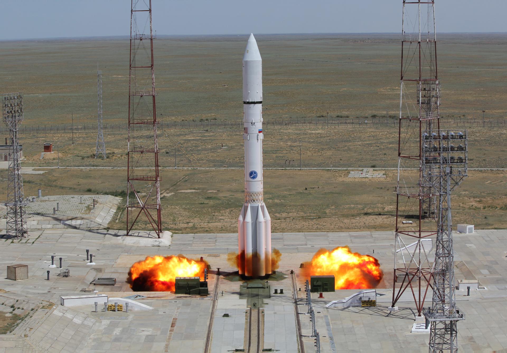
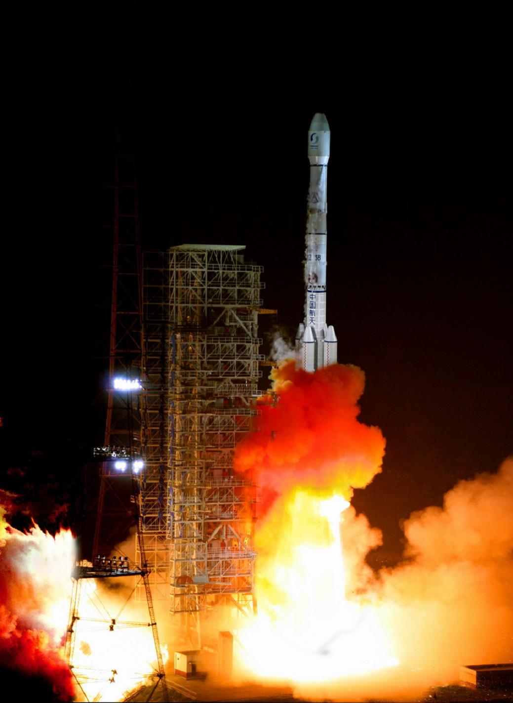
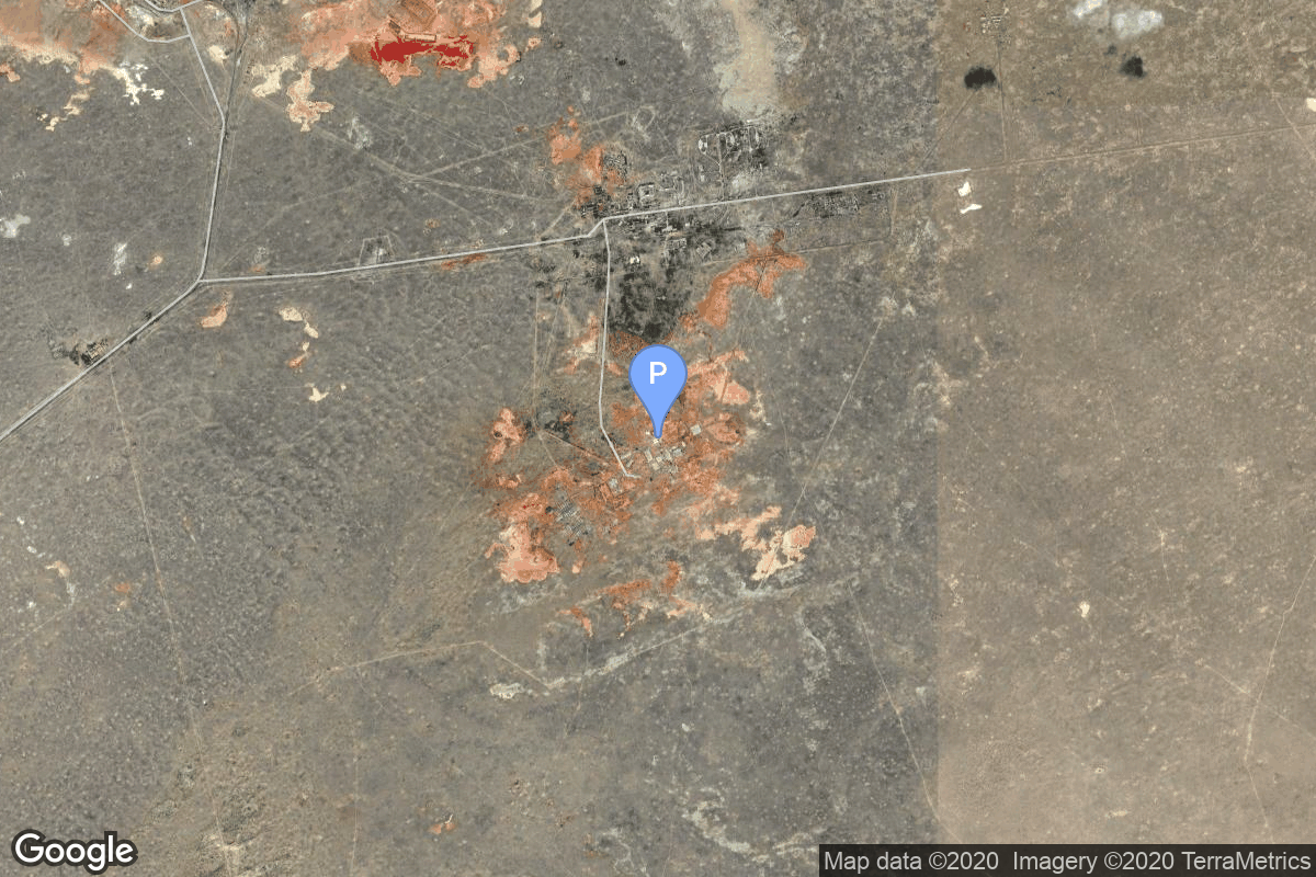
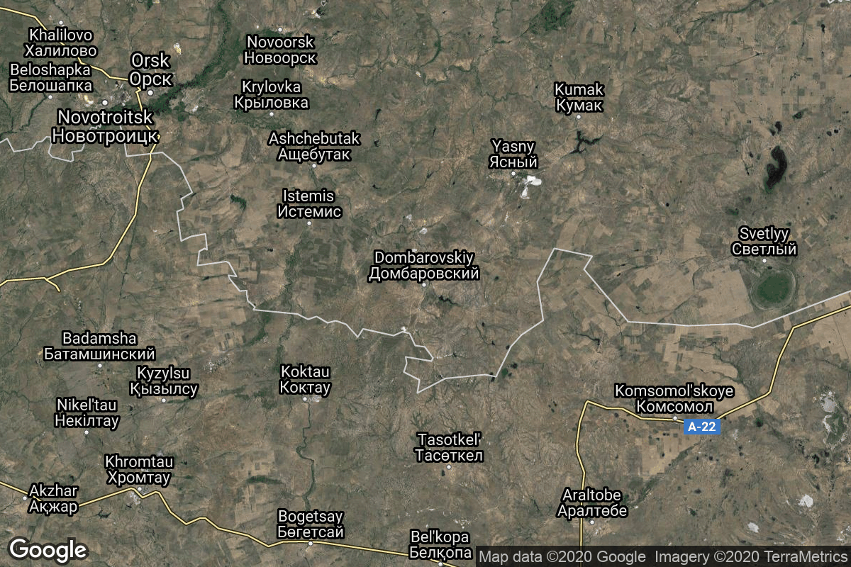
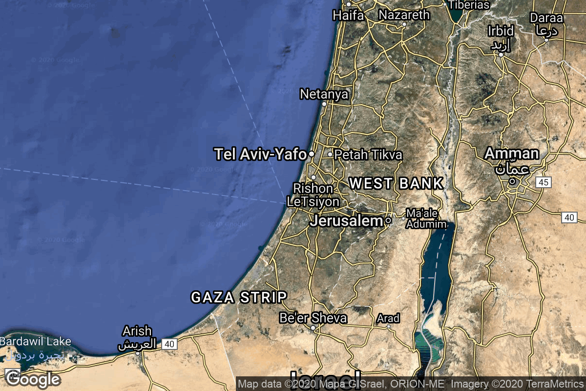
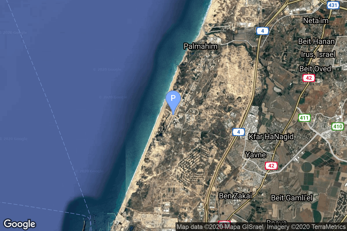
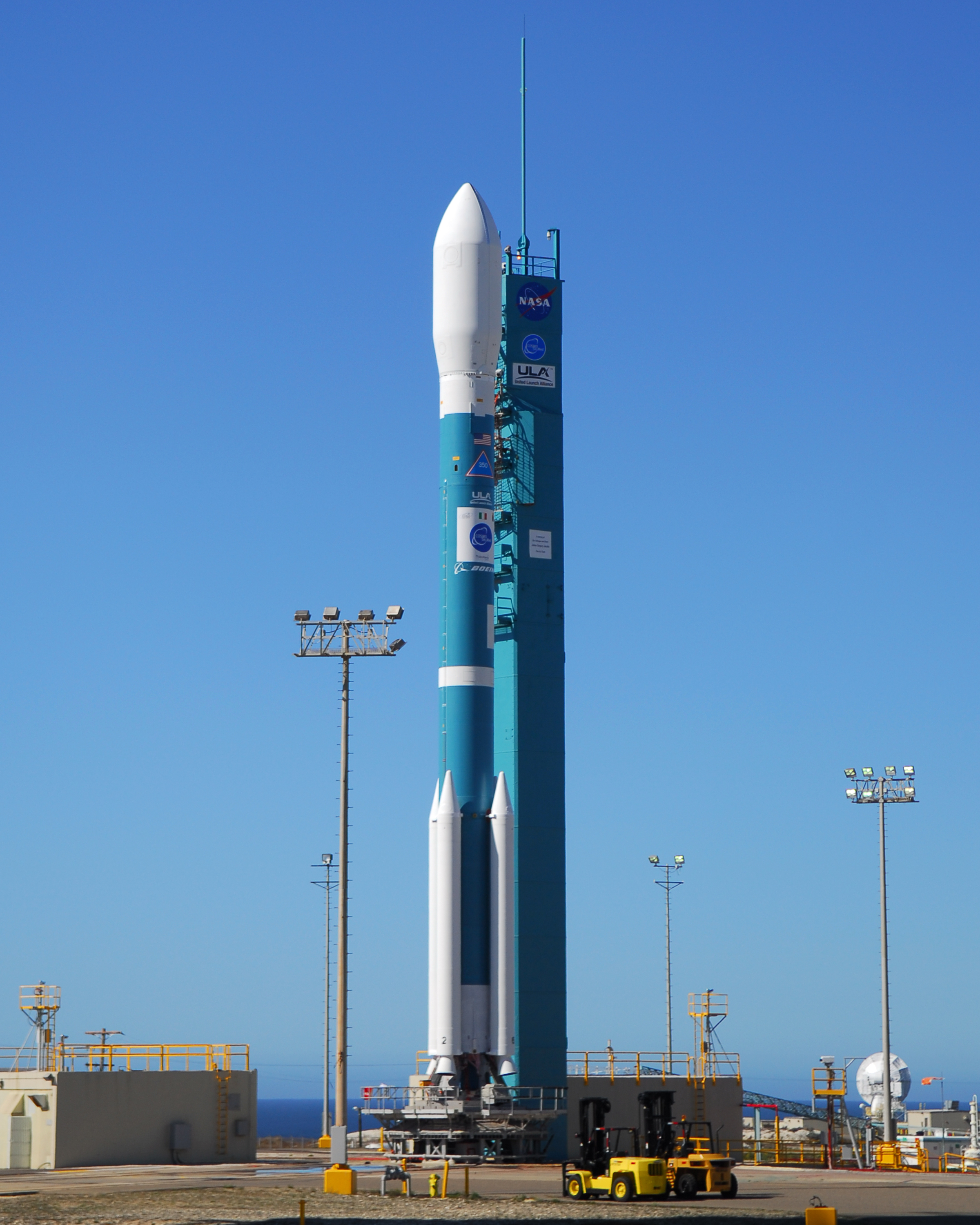
{ "count": 7827, "next": "https://ll.thespacedevs.com/2.2.0/launch/?format=api&limit=10&offset=2920&ordering=-net", "previous": "https://ll.thespacedevs.com/2.2.0/launch/?format=api&limit=10&offset=2900&ordering=-net", "results": [ { "id": "ff1ce87b-a249-4c95-a443-c82d3f758c53", "url": "https://ll.thespacedevs.com/2.2.0/launch/ff1ce87b-a249-4c95-a443-c82d3f758c53/?format=api", "slug": "proton-m-directv-10", "name": "Proton-M | DirecTV 10", "status": { "id": 3, "name": "Launch Successful", "abbrev": "Success", "description": "The launch vehicle successfully inserted its payload(s) into the target orbit(s)." }, "last_updated": "2023-06-14T03:35:10Z", "net": "2007-07-07T01:16:00Z", "window_end": "2007-07-07T01:16:00Z", "window_start": "2007-07-07T01:16:00Z", "net_precision": null, "probability": null, "weather_concerns": null, "holdreason": "", "failreason": null, "hashtag": null, "launch_service_provider": { "id": 96, "url": "https://ll.thespacedevs.com/2.2.0/agencies/96/?format=api", "name": "Khrunichev State Research and Production Space Center", "type": "Government" }, "rocket": { "id": 7324, "configuration": { "id": 87, "url": "https://ll.thespacedevs.com/2.2.0/config/launcher/87/?format=api", "name": "Proton-M", "family": "Proton / UR-500", "full_name": "Proton-M Briz-M Enhanced", "variant": "Briz-M Enhanced" } }, "mission": { "id": 5713, "name": "DirecTV 10", "description": "American geostationary communications satellite", "launch_designator": null, "type": "Communications", "orbit": { "id": 1, "name": "Geostationary Orbit", "abbrev": "Direct-GEO" }, "agencies": [], "info_urls": [], "vid_urls": [] }, "pad": { "id": 15, "url": "https://ll.thespacedevs.com/2.2.0/pad/15/?format=api", "agency_id": null, "name": "200/39 (200L)", "description": null, "info_url": null, "wiki_url": "", "map_url": "https://www.google.com/maps?q=46.039984,63.032093", "latitude": "46.039984", "longitude": "63.032093", "location": { "id": 15, "url": "https://ll.thespacedevs.com/2.2.0/location/15/?format=api", "name": "Baikonur Cosmodrome, Republic of Kazakhstan", "country_code": "KAZ", "description": "The Baikonur Cosmodrome is a spaceport operated by Russia within Kazakhstan. Located in the Kazakh city of Baikonur, it is the largest operational space launch facility in terms of area. All Russian crewed spaceflights are launched from Baikonur.", "map_image": "https://thespacedevs-prod.nyc3.digitaloceanspaces.com/media/map_images/location_15_20200803142517.jpg", "timezone_name": "Asia/Qyzylorda", "total_launch_count": 1561, "total_landing_count": 0 }, "country_code": "KAZ", "map_image": "https://thespacedevs-prod.nyc3.digitaloceanspaces.com/media/map_images/pad_15_20200803143530.jpg", "total_launch_count": 167, "orbital_launch_attempt_count": 167 }, "webcast_live": false, "image": "https://thespacedevs-prod.nyc3.digitaloceanspaces.com/media/images/proton-m_image_20191211081456.jpeg", "infographic": null, "program": [], "orbital_launch_attempt_count": 4851, "location_launch_attempt_count": 1277, "pad_launch_attempt_count": 109, "agency_launch_attempt_count": 125, "orbital_launch_attempt_count_year": 34, "location_launch_attempt_count_year": 9, "pad_launch_attempt_count_year": 2, "agency_launch_attempt_count_year": 2, "type": "normal" }, { "id": "93ef5bfc-285a-4d18-8ca6-0fc8a6d8cc8b", "url": "https://ll.thespacedevs.com/2.2.0/launch/93ef5bfc-285a-4d18-8ca6-0fc8a6d8cc8b/?format=api", "slug": "long-march-3b-zhongxing-6b", "name": "Long March 3B | Zhongxing 6B", "status": { "id": 3, "name": "Launch Successful", "abbrev": "Success", "description": "The launch vehicle successfully inserted its payload(s) into the target orbit(s)." }, "last_updated": "2023-08-04T03:43:43Z", "net": "2007-07-05T12:08:00Z", "window_end": "2007-07-05T12:08:00Z", "window_start": "2007-07-05T12:08:00Z", "net_precision": null, "probability": null, "weather_concerns": null, "holdreason": "", "failreason": "", "hashtag": null, "launch_service_provider": { "id": 88, "url": "https://ll.thespacedevs.com/2.2.0/agencies/88/?format=api", "name": "China Aerospace Science and Technology Corporation", "type": "Government" }, "rocket": { "id": 7323, "configuration": { "id": 19, "url": "https://ll.thespacedevs.com/2.2.0/config/launcher/19/?format=api", "name": "Long March 3B", "family": "Long March", "full_name": "Long March 3B", "variant": "B" } }, "mission": { "id": 5712, "name": "Zhongxing 6B", "description": "Chinese geostationary communications satellite", "launch_designator": null, "type": "Communications", "orbit": { "id": 1, "name": "Geostationary Orbit", "abbrev": "Direct-GEO" }, "agencies": [], "info_urls": [], "vid_urls": [] }, "pad": { "id": 45, "url": "https://ll.thespacedevs.com/2.2.0/pad/45/?format=api", "agency_id": null, "name": "Launch Complex 2 (LC-2)", "description": "", "info_url": null, "wiki_url": "https://en.wikipedia.org/wiki/Xichang_Satellite_Launch_Center", "map_url": "https://www.google.com/maps?q=28.245564,102.026751", "latitude": "28.245564", "longitude": "102.026751", "location": { "id": 16, "url": "https://ll.thespacedevs.com/2.2.0/location/16/?format=api", "name": "Xichang Satellite Launch Center, People's Republic of China", "country_code": "CHN", "description": "The Xichang Satellite Launch Center is a spaceport in China. It is located in Zeyuan Town, northwest of Xichang, Liangshan Yi Autonomous Prefecture in Sichuan.", "map_image": "https://thespacedevs-prod.nyc3.digitaloceanspaces.com/media/map_images/location_16_20200803142513.jpg", "timezone_name": "Asia/Shanghai", "total_launch_count": 238, "total_landing_count": 0 }, "country_code": "CHN", "map_image": "https://thespacedevs-prod.nyc3.digitaloceanspaces.com/media/map_images/pad_45_20200803143520.jpg", "total_launch_count": 124, "orbital_launch_attempt_count": 124 }, "webcast_live": false, "image": "https://thespacedevs-prod.nyc3.digitaloceanspaces.com/media/images/long2520march25203_image_20200102181012.jpg", "infographic": null, "program": [], "orbital_launch_attempt_count": 4850, "location_launch_attempt_count": 46, "pad_launch_attempt_count": 28, "agency_launch_attempt_count": 47, "orbital_launch_attempt_count_year": 33, "location_launch_attempt_count_year": 5, "pad_launch_attempt_count_year": 3, "agency_launch_attempt_count_year": 7, "type": "normal" }, { "id": "6f299390-a2f8-472b-9e8e-fd0b5146b322", "url": "https://ll.thespacedevs.com/2.2.0/launch/6f299390-a2f8-472b-9e8e-fd0b5146b322/?format=api", "slug": "kosmos-3m-sar-lupe-2", "name": "Kosmos-3M | SAR-Lupe 2", "status": { "id": 3, "name": "Launch Successful", "abbrev": "Success", "description": "The launch vehicle successfully inserted its payload(s) into the target orbit(s)." }, "last_updated": "2023-06-14T03:43:47Z", "net": "2007-07-02T19:38:41Z", "window_end": "2007-07-02T19:38:41Z", "window_start": "2007-07-02T19:38:41Z", "net_precision": null, "probability": null, "weather_concerns": null, "holdreason": "", "failreason": null, "hashtag": null, "launch_service_provider": { "id": 154, "url": "https://ll.thespacedevs.com/2.2.0/agencies/154/?format=api", "name": "Production Corporation Polyot", "type": "Commercial" }, "rocket": { "id": 7322, "configuration": { "id": 102, "url": "https://ll.thespacedevs.com/2.2.0/config/launcher/102/?format=api", "name": "Kosmos-3M", "family": "Kosmos", "full_name": "Kosmos-3M (11K65M)", "variant": "-3M" } }, "mission": { "id": 5711, "name": "SAR-Lupe 2", "description": "German military radar reconnaissance spacecraft", "launch_designator": null, "type": "Government/Top Secret", "orbit": { "id": 8, "name": "Low Earth Orbit", "abbrev": "LEO" }, "agencies": [], "info_urls": [], "vid_urls": [] }, "pad": { "id": 28, "url": "https://ll.thespacedevs.com/2.2.0/pad/28/?format=api", "agency_id": 163, "name": "132/1 (132L)", "description": null, "info_url": null, "wiki_url": "", "map_url": "https://www.google.com/maps?q=62.883229,40.868549", "latitude": "62.883229", "longitude": "40.868549", "location": { "id": 6, "url": "https://ll.thespacedevs.com/2.2.0/location/6/?format=api", "name": "Plesetsk Cosmodrome, Russian Federation", "country_code": "RUS", "description": "Plesetsk Cosmodrome is a Russian spaceport located in Mirny, Arkhangelsk Oblast, about 800 km north of Moscow and approximately 200 km south of Arkhangelsk. Originally developed as an ICBM site for the R-7 missile, it also served for numerous satellite launches using the R-7 and other rockets. Its high latitude makes it useful only for certain types of launches, especially the Molniya orbits, so for much of the site's history it functioned as a secondary location, with most orbital launches taking place from Baikonur, in the Kazakh SSR. With the end of the Soviet Union, Baikonur became a foreign territory, and Kazakhstan charged $115 million usage fees annually. Consequently, Plesetsk has seen considerably more activity since the 2000s.", "map_image": "https://thespacedevs-prod.nyc3.digitaloceanspaces.com/media/map_images/location_6_20200803142434.jpg", "timezone_name": "Europe/Moscow", "total_launch_count": 1682, "total_landing_count": 0 }, "country_code": "RUS", "map_image": "https://thespacedevs-prod.nyc3.digitaloceanspaces.com/media/map_images/pad_28_20200803143254.jpg", "total_launch_count": 212, "orbital_launch_attempt_count": 212 }, "webcast_live": false, "image": "https://thespacedevs-prod.nyc3.digitaloceanspaces.com/media/images/kosmos-3m_durin_image_20251101171325.jpg", "infographic": null, "program": [], "orbital_launch_attempt_count": 4849, "location_launch_attempt_count": 1553, "pad_launch_attempt_count": 206, "agency_launch_attempt_count": 51, "orbital_launch_attempt_count_year": 32, "location_launch_attempt_count_year": 2, "pad_launch_attempt_count_year": 1, "agency_launch_attempt_count_year": 1, "type": "normal" }, { "id": "346553cd-4d5a-4744-a2b7-dd33ff5dbde6", "url": "https://ll.thespacedevs.com/2.2.0/launch/346553cd-4d5a-4744-a2b7-dd33ff5dbde6/?format=api", "slug": "zenit-2m-tselina-2-23", "name": "Zenit 2M | Tselina-2 23", "status": { "id": 3, "name": "Launch Successful", "abbrev": "Success", "description": "The launch vehicle successfully inserted its payload(s) into the target orbit(s)." }, "last_updated": "2023-06-14T03:30:57Z", "net": "2007-06-29T10:00:00Z", "window_end": "2007-06-29T10:00:00Z", "window_start": "2007-06-29T10:00:00Z", "net_precision": null, "probability": null, "weather_concerns": null, "holdreason": "", "failreason": null, "hashtag": null, "launch_service_provider": { "id": 63, "url": "https://ll.thespacedevs.com/2.2.0/agencies/63/?format=api", "name": "Russian Federal Space Agency (ROSCOSMOS)", "type": "Government" }, "rocket": { "id": 7321, "configuration": { "id": 89, "url": "https://ll.thespacedevs.com/2.2.0/config/launcher/89/?format=api", "name": "Zenit 2M", "family": "Zenith", "full_name": "Zenit 2M", "variant": "" } }, "mission": { "id": 5710, "name": "Tselina-2 23", "description": "Second generation ELING satellite", "launch_designator": null, "type": "Government/Top Secret", "orbit": { "id": 8, "name": "Low Earth Orbit", "abbrev": "LEO" }, "agencies": [], "info_urls": [], "vid_urls": [] }, "pad": { "id": 2, "url": "https://ll.thespacedevs.com/2.2.0/pad/2/?format=api", "agency_id": null, "name": "45/1", "description": null, "info_url": null, "wiki_url": "", "map_url": "https://www.google.com/maps?q=45.943492,63.653014", "latitude": "45.943492", "longitude": "63.653014", "location": { "id": 15, "url": "https://ll.thespacedevs.com/2.2.0/location/15/?format=api", "name": "Baikonur Cosmodrome, Republic of Kazakhstan", "country_code": "KAZ", "description": "The Baikonur Cosmodrome is a spaceport operated by Russia within Kazakhstan. Located in the Kazakh city of Baikonur, it is the largest operational space launch facility in terms of area. All Russian crewed spaceflights are launched from Baikonur.", "map_image": "https://thespacedevs-prod.nyc3.digitaloceanspaces.com/media/map_images/location_15_20200803142517.jpg", "timezone_name": "Asia/Qyzylorda", "total_launch_count": 1561, "total_landing_count": 0 }, "country_code": "KAZ", "map_image": "https://thespacedevs-prod.nyc3.digitaloceanspaces.com/media/map_images/pad_2_20200803143256.jpg", "total_launch_count": 46, "orbital_launch_attempt_count": 46 }, "webcast_live": false, "image": null, "infographic": null, "program": [], "orbital_launch_attempt_count": 4848, "location_launch_attempt_count": 1276, "pad_launch_attempt_count": 35, "agency_launch_attempt_count": 167, "orbital_launch_attempt_count_year": 31, "location_launch_attempt_count_year": 8, "pad_launch_attempt_count_year": 1, "agency_launch_attempt_count_year": 5, "type": "normal" }, { "id": "7aa1c54a-a698-4daf-ac4c-3b799b40c8b5", "url": "https://ll.thespacedevs.com/2.2.0/launch/7aa1c54a-a698-4daf-ac4c-3b799b40c8b5/?format=api", "slug": "dnepr-genesis-2", "name": "Dnepr | Genesis-2", "status": { "id": 3, "name": "Launch Successful", "abbrev": "Success", "description": "The launch vehicle successfully inserted its payload(s) into the target orbit(s)." }, "last_updated": "2023-06-14T04:30:00Z", "net": "2007-06-28T15:02:20Z", "window_end": "2007-06-28T15:02:20Z", "window_start": "2007-06-28T15:02:20Z", "net_precision": null, "probability": null, "weather_concerns": null, "holdreason": "", "failreason": null, "hashtag": null, "launch_service_provider": { "id": 119, "url": "https://ll.thespacedevs.com/2.2.0/agencies/119/?format=api", "name": "ISC Kosmotras", "type": "Commercial" }, "rocket": { "id": 7320, "configuration": { "id": 31, "url": "https://ll.thespacedevs.com/2.2.0/config/launcher/31/?format=api", "name": "Dnepr", "family": "", "full_name": "Dnepr 1", "variant": "1" } }, "mission": { "id": 5709, "name": "Genesis-2", "description": "Experimental inflatable space station", "launch_designator": null, "type": "Technology", "orbit": { "id": 8, "name": "Low Earth Orbit", "abbrev": "LEO" }, "agencies": [], "info_urls": [], "vid_urls": [] }, "pad": { "id": 182, "url": "https://ll.thespacedevs.com/2.2.0/pad/182/?format=api", "agency_id": null, "name": "370/11", "description": null, "info_url": null, "wiki_url": "https://en.wikipedia.org/wiki/Dombarovsky_Air_Base", "map_url": "https://www.google.com/maps?q=51.0938889,59.8400282", "latitude": "51.0938889", "longitude": "59.8400282", "location": { "id": 5, "url": "https://ll.thespacedevs.com/2.2.0/location/5/?format=api", "name": "Dombarovskiy, Russian Federation", "country_code": "RUS", "description": "Dombarovsky is a military airbase near Yasny in Russia's Orenburg Oblast. Operated by the Soviet Air Defence Forces and later by the Russian Air Force, it hosted fighter interceptor squadrons and hosts an ICBM base (which has been adapted for commercial satellite launches) with a supporting helicopter base.", "map_image": "https://thespacedevs-prod.nyc3.digitaloceanspaces.com/media/map_images/location_5_20200803142425.jpg", "timezone_name": "Asia/Yekaterinburg", "total_launch_count": 10, "total_landing_count": 0 }, "country_code": "RUS", "map_image": "https://thespacedevs-prod.nyc3.digitaloceanspaces.com/media/map_images/pad_182_20200803143504.jpg", "total_launch_count": 2, "orbital_launch_attempt_count": 2 }, "webcast_live": false, "image": "https://thespacedevs-prod.nyc3.digitaloceanspaces.com/media/images/dnepr-1_liftoff_image_20240411092543.jpeg", "infographic": null, "program": [], "orbital_launch_attempt_count": 4847, "location_launch_attempt_count": 2, "pad_launch_attempt_count": 2, "agency_launch_attempt_count": 10, "orbital_launch_attempt_count_year": 30, "location_launch_attempt_count_year": 1, "pad_launch_attempt_count_year": 1, "agency_launch_attempt_count_year": 3, "type": "normal" }, { "id": "2e77e64a-1d0d-4fb4-914d-c7a2fac953ce", "url": "https://ll.thespacedevs.com/2.2.0/launch/2e77e64a-1d0d-4fb4-914d-c7a2fac953ce/?format=api", "slug": "atlas-v-401-nrol-30-noss-3-usa-194", "name": "Atlas V 401 | NROL-30 & NOSS-3 (USA-194)", "status": { "id": 3, "name": "Launch Successful", "abbrev": "Success", "description": "The launch vehicle successfully inserted its payload(s) into the target orbit(s)." }, "last_updated": "2024-06-13T18:08:50Z", "net": "2007-06-15T15:12:00Z", "window_end": "2007-06-15T15:12:00Z", "window_start": "2007-06-15T15:12:00Z", "net_precision": { "id": 1, "name": "Minute", "abbrev": "MIN", "description": "The T-0 is accurate to the minute." }, "probability": null, "weather_concerns": null, "holdreason": "", "failreason": "", "hashtag": null, "launch_service_provider": { "id": 124, "url": "https://ll.thespacedevs.com/2.2.0/agencies/124/?format=api", "name": "United Launch Alliance", "type": "Commercial" }, "rocket": { "id": 541, "configuration": { "id": 16, "url": "https://ll.thespacedevs.com/2.2.0/config/launcher/16/?format=api", "name": "Atlas V 401", "family": "Atlas", "full_name": "Atlas V 401", "variant": "401" } }, "mission": { "id": 545, "name": "NROL-30 & NOSS-3 (USA-194)", "description": "A military reconnaissance satellite, it's purpose is classified, launched with NOSS-3. An intelligence satellite for the US Navy.", "launch_designator": null, "type": "Government/Top Secret", "orbit": { "id": 8, "name": "Low Earth Orbit", "abbrev": "LEO" }, "agencies": [], "info_urls": [], "vid_urls": [] }, "pad": { "id": 29, "url": "https://ll.thespacedevs.com/2.2.0/pad/29/?format=api", "agency_id": null, "name": "Space Launch Complex 41", "description": "", "info_url": null, "wiki_url": "https://en.wikipedia.org/wiki/Cape_Canaveral_Air_Force_Station_Space_Launch_Complex_41", "map_url": "https://www.google.com/maps?q=28.58341025,-80.58303644", "latitude": "28.58341025", "longitude": "-80.58303644", "location": { "id": 12, "url": "https://ll.thespacedevs.com/2.2.0/location/12/?format=api", "name": "Cape Canaveral SFS, FL, USA", "country_code": "USA", "description": "Cape Canaveral Space Force Station (CCSFS) is an installation of the United States Space Force's Space Launch Delta 45, located on Cape Canaveral in Brevard County, Florida.", "map_image": "https://thespacedevs-prod.nyc3.digitaloceanspaces.com/media/map_images/location_12_20200803142519.jpg", "timezone_name": "America/New_York", "total_launch_count": 1098, "total_landing_count": 71 }, "country_code": "USA", "map_image": "https://thespacedevs-prod.nyc3.digitaloceanspaces.com/media/map_images/pad_29_20200803143528.jpg", "total_launch_count": 121, "orbital_launch_attempt_count": 121 }, "webcast_live": false, "image": "https://thespacedevs-prod.nyc3.digitaloceanspaces.com/media/images/atlas_v_image_20201212013334.jpeg", "infographic": null, "program": [], "orbital_launch_attempt_count": 4846, "location_launch_attempt_count": 647, "pad_launch_attempt_count": 37, "agency_launch_attempt_count": 6, "orbital_launch_attempt_count_year": 29, "location_launch_attempt_count_year": 3, "pad_launch_attempt_count_year": 2, "agency_launch_attempt_count_year": 4, "type": "normal" }, { "id": "f07f6b32-5547-4c92-9ca7-4b4cb14f3cd0", "url": "https://ll.thespacedevs.com/2.2.0/launch/f07f6b32-5547-4c92-9ca7-4b4cb14f3cd0/?format=api", "slug": "dnepr-terrasar-x", "name": "Dnepr | TerraSAR-X", "status": { "id": 3, "name": "Launch Successful", "abbrev": "Success", "description": "The launch vehicle successfully inserted its payload(s) into the target orbit(s)." }, "last_updated": "2023-06-14T03:33:04Z", "net": "2007-06-15T02:14:00Z", "window_end": "2007-06-15T02:14:00Z", "window_start": "2007-06-15T02:14:00Z", "net_precision": null, "probability": null, "weather_concerns": null, "holdreason": "", "failreason": null, "hashtag": null, "launch_service_provider": { "id": 119, "url": "https://ll.thespacedevs.com/2.2.0/agencies/119/?format=api", "name": "ISC Kosmotras", "type": "Commercial" }, "rocket": { "id": 7319, "configuration": { "id": 31, "url": "https://ll.thespacedevs.com/2.2.0/config/launcher/31/?format=api", "name": "Dnepr", "family": "", "full_name": "Dnepr 1", "variant": "1" } }, "mission": { "id": 5708, "name": "TerraSAR-X", "description": "German Earth observation satellite", "launch_designator": null, "type": "Earth Science", "orbit": { "id": 17, "name": "Sun-Synchronous Orbit", "abbrev": "SSO" }, "agencies": [], "info_urls": [], "vid_urls": [] }, "pad": { "id": 12, "url": "https://ll.thespacedevs.com/2.2.0/pad/12/?format=api", "agency_id": null, "name": "109/95", "description": null, "info_url": null, "wiki_url": "", "map_url": "https://www.google.com/maps?q=45.95112,63.497095", "latitude": "45.95112", "longitude": "63.497095", "location": { "id": 15, "url": "https://ll.thespacedevs.com/2.2.0/location/15/?format=api", "name": "Baikonur Cosmodrome, Republic of Kazakhstan", "country_code": "KAZ", "description": "The Baikonur Cosmodrome is a spaceport operated by Russia within Kazakhstan. Located in the Kazakh city of Baikonur, it is the largest operational space launch facility in terms of area. All Russian crewed spaceflights are launched from Baikonur.", "map_image": "https://thespacedevs-prod.nyc3.digitaloceanspaces.com/media/map_images/location_15_20200803142517.jpg", "timezone_name": "Asia/Qyzylorda", "total_launch_count": 1561, "total_landing_count": 0 }, "country_code": "KAZ", "map_image": "https://thespacedevs-prod.nyc3.digitaloceanspaces.com/media/map_images/pad_12_20200803143322.jpg", "total_launch_count": 12, "orbital_launch_attempt_count": 12 }, "webcast_live": false, "image": "https://thespacedevs-prod.nyc3.digitaloceanspaces.com/media/images/dnepr-1_liftoff_image_20240411092543.jpeg", "infographic": null, "program": [], "orbital_launch_attempt_count": 4845, "location_launch_attempt_count": 1275, "pad_launch_attempt_count": 8, "agency_launch_attempt_count": 9, "orbital_launch_attempt_count_year": 28, "location_launch_attempt_count_year": 7, "pad_launch_attempt_count_year": 2, "agency_launch_attempt_count_year": 2, "type": "normal" }, { "id": "532ff649-cb1b-496f-9618-4d13b19deb2e", "url": "https://ll.thespacedevs.com/2.2.0/launch/532ff649-cb1b-496f-9618-4d13b19deb2e/?format=api", "slug": "shavit-2-ofeq-7", "name": "Shavit-2 | Ofeq-7", "status": { "id": 3, "name": "Launch Successful", "abbrev": "Success", "description": "The launch vehicle successfully inserted its payload(s) into the target orbit(s)." }, "last_updated": "2023-06-14T03:58:14Z", "net": "2007-06-10T23:40:00Z", "window_end": "2007-06-10T23:40:00Z", "window_start": "2007-06-10T23:40:00Z", "net_precision": null, "probability": null, "weather_concerns": null, "holdreason": "", "failreason": null, "hashtag": null, "launch_service_provider": { "id": 35, "url": "https://ll.thespacedevs.com/2.2.0/agencies/35/?format=api", "name": "Israeli Space Agency", "type": "Government" }, "rocket": { "id": 7318, "configuration": { "id": 110, "url": "https://ll.thespacedevs.com/2.2.0/config/launcher/110/?format=api", "name": "Shavit-2", "family": "Shavit", "full_name": "Shavit-2", "variant": "2" } }, "mission": { "id": 5707, "name": "Ofeq-7", "description": "Second generation Israeli reconnaissance satellite", "launch_designator": null, "type": "Government/Top Secret", "orbit": { "id": 8, "name": "Low Earth Orbit", "abbrev": "LEO" }, "agencies": [], "info_urls": [], "vid_urls": [] }, "pad": { "id": 75, "url": "https://ll.thespacedevs.com/2.2.0/pad/75/?format=api", "agency_id": 95, "name": "Shavit Launch Pad", "description": "", "info_url": null, "wiki_url": "https://en.wikipedia.org/wiki/Palmachim_Airbase", "map_url": "https://www.google.com/maps?q=31.884444,34.680278", "latitude": "31.884444", "longitude": "34.680278", "location": { "id": 4, "url": "https://ll.thespacedevs.com/2.2.0/location/4/?format=api", "name": "Palmachim Airbase, State of Israel", "country_code": "ISR", "description": "Palmachim Airbase is an Israeli Air Force (IAF) base and spaceport, which the IAF and the Israel Space Agency (ISA) operate jointly. It is located west of the city of Yavne on the Mediterranean coast, 12 km south of the Gush Dan metropolitan area with Tel Aviv, named after the Kibbutz Palmachim north of it.", "map_image": "https://thespacedevs-prod.nyc3.digitaloceanspaces.com/media/map_images/location_4_20200803142418.jpg", "timezone_name": "Asia/Jerusalem", "total_launch_count": 13, "total_landing_count": 0 }, "country_code": "ISR", "map_image": "https://thespacedevs-prod.nyc3.digitaloceanspaces.com/media/map_images/pad_75_20200803143316.jpg", "total_launch_count": 13, "orbital_launch_attempt_count": 13 }, "webcast_live": false, "image": "https://thespacedevs-prod.nyc3.digitaloceanspaces.com/media/images/shavit-2_liftof_image_20240918164729.jpeg", "infographic": null, "program": [], "orbital_launch_attempt_count": 4844, "location_launch_attempt_count": 7, "pad_launch_attempt_count": 7, "agency_launch_attempt_count": 7, "orbital_launch_attempt_count_year": 27, "location_launch_attempt_count_year": 1, "pad_launch_attempt_count_year": 1, "agency_launch_attempt_count_year": 1, "type": "normal" }, { "id": "6db9ec90-51c6-4307-8158-7993cf876d2c", "url": "https://ll.thespacedevs.com/2.2.0/launch/6db9ec90-51c6-4307-8158-7993cf876d2c/?format=api", "slug": "space-shuttle-atlantis-ov-104-sts-117", "name": "Space Shuttle Atlantis / OV-104 | STS-117", "status": { "id": 3, "name": "Launch Successful", "abbrev": "Success", "description": "The launch vehicle successfully inserted its payload(s) into the target orbit(s)." }, "last_updated": "2023-06-14T08:52:13Z", "net": "2007-06-08T23:38:04Z", "window_end": "2007-06-08T23:38:04Z", "window_start": "2007-06-08T23:38:04Z", "net_precision": null, "probability": null, "weather_concerns": null, "holdreason": "", "failreason": null, "hashtag": null, "launch_service_provider": { "id": 191, "url": "https://ll.thespacedevs.com/2.2.0/agencies/191/?format=api", "name": "United Space Alliance", "type": "Commercial" }, "rocket": { "id": 540, "configuration": { "id": 493, "url": "https://ll.thespacedevs.com/2.2.0/config/launcher/493/?format=api", "name": "Space Shuttle", "family": "", "full_name": "Space Shuttle", "variant": "" } }, "mission": { "id": 930, "name": "STS-117", "description": "STS-117 (ISS assembly flight 13A) was a Space Shuttle mission flown by Space Shuttle Atlantis, launched from pad 39A of the Kennedy Space Center on 8 June 2007. Atlantis lifted off from the launch pad at 19:38 EDT. Damage from a hail storm on 26 February 2007 had previously caused the launch to be postponed from an originally-planned launch date of 15 March 2007. The launch of STS-117 marked the 250th orbital human spaceflight. Atlantis delivered to the International Space Station (ISS) the second starboard truss segment (the S3/S4 Truss) and its associated energy systems, including a set of solar arrays. During the course of the mission the crew installed the new truss segment, retracted one set of solar arrays, and unfolded the new set on the starboard side of the station. STS-117 also brought Expedition 15 crewmember Clayton Anderson to the station, and returned with ISS crewmember Sunita Williams.", "launch_designator": null, "type": "Human Exploration", "orbit": { "id": 8, "name": "Low Earth Orbit", "abbrev": "LEO" }, "agencies": [], "info_urls": [], "vid_urls": [] }, "pad": { "id": 87, "url": "https://ll.thespacedevs.com/2.2.0/pad/87/?format=api", "agency_id": 121, "name": "Launch Complex 39A", "description": "", "info_url": null, "wiki_url": "https://en.wikipedia.org/wiki/Kennedy_Space_Center_Launch_Complex_39#Launch_Pad_39A", "map_url": "https://www.google.com/maps?q=28.60822681,-80.60428186", "latitude": "28.60822681", "longitude": "-80.60428186", "location": { "id": 27, "url": "https://ll.thespacedevs.com/2.2.0/location/27/?format=api", "name": "Kennedy Space Center, FL, USA", "country_code": "USA", "description": "The John F. Kennedy Space Center, located on Merritt Island, Florida, is one of NASA's ten field centers. Since 1968, KSC has been NASA's primary launch center of American spaceflight, research, and technology. Launch operations for the Apollo, Skylab and Space Shuttle programs were carried out from Kennedy Space Center Launch Complex 39 and managed by KSC. Located on the east coast of Florida, KSC is adjacent to Cape Canaveral Space Force Station (CCSFS).", "map_image": "https://thespacedevs-prod.nyc3.digitaloceanspaces.com/media/map_images/location_27_20200803142447.jpg", "timezone_name": "America/New_York", "total_launch_count": 279, "total_landing_count": 0 }, "country_code": "USA", "map_image": "https://thespacedevs-prod.nyc3.digitaloceanspaces.com/media/map_images/pad_87_20200803143537.jpg", "total_launch_count": 221, "orbital_launch_attempt_count": 220 }, "webcast_live": false, "image": "https://thespacedevs-prod.nyc3.digitaloceanspaces.com/media/images/space_shuttle_image_20230422074810.jpeg", "infographic": null, "program": [ { "id": 17, "url": "https://ll.thespacedevs.com/2.2.0/program/17/?format=api", "name": "International Space Station", "description": "The International Space Station programme is tied together by a complex set of legal, political and financial agreements between the sixteen nations involved in the project, governing ownership of the various components, rights to crewing and utilization, and responsibilities for crew rotation and resupply of the International Space Station. It was conceived in 1984 by President Ronald Reagan, during the Space Station Freedom project as it was originally called.", "agencies": [ { "id": 16, "url": "https://ll.thespacedevs.com/2.2.0/agencies/16/?format=api", "name": "Canadian Space Agency", "type": "Government" }, { "id": 27, "url": "https://ll.thespacedevs.com/2.2.0/agencies/27/?format=api", "name": "European Space Agency", "type": "Multinational" }, { "id": 37, "url": "https://ll.thespacedevs.com/2.2.0/agencies/37/?format=api", "name": "Japan Aerospace Exploration Agency", "type": "Government" }, { "id": 44, "url": "https://ll.thespacedevs.com/2.2.0/agencies/44/?format=api", "name": "National Aeronautics and Space Administration", "type": "Government" }, { "id": 63, "url": "https://ll.thespacedevs.com/2.2.0/agencies/63/?format=api", "name": "Russian Federal Space Agency (ROSCOSMOS)", "type": "Government" } ], "image_url": "https://thespacedevs-prod.nyc3.digitaloceanspaces.com/media/images/international2_program_20201129184745.png", "start_date": "1998-11-20T06:40:00Z", "end_date": null, "info_url": "https://www.nasa.gov/mission_pages/station/main/index.html", "wiki_url": "https://en.wikipedia.org/wiki/International_Space_Station_programme", "mission_patches": [], "type": { "id": 2, "name": "Human Spaceflight" } }, { "id": 6, "url": "https://ll.thespacedevs.com/2.2.0/program/6/?format=api", "name": "Space Shuttle", "description": "The Space Shuttle program was the fourth human spaceflight program carried out by the National Aeronautics and Space Administration (NASA), which accomplished routine transportation for Earth-to-orbit crew and cargo from 1981 to 2011.", "agencies": [ { "id": 44, "url": "https://ll.thespacedevs.com/2.2.0/agencies/44/?format=api", "name": "National Aeronautics and Space Administration", "type": "Government" } ], "image_url": "https://thespacedevs-prod.nyc3.digitaloceanspaces.com/media/images/space2520shutt_program_20200820202237.png", "start_date": "1981-04-12T12:00:03Z", "end_date": "2011-07-08T15:29:00Z", "info_url": "https://www.nasa.gov/mission_pages/shuttle/main/index.html", "wiki_url": "https://en.wikipedia.org/wiki/Space_Shuttle_program", "mission_patches": [], "type": { "id": 2, "name": "Human Spaceflight" } } ], "orbital_launch_attempt_count": 4843, "location_launch_attempt_count": 135, "pad_launch_attempt_count": 79, "agency_launch_attempt_count": 34, "orbital_launch_attempt_count_year": 26, "location_launch_attempt_count_year": 1, "pad_launch_attempt_count_year": 1, "agency_launch_attempt_count_year": 1, "type": "normal" }, { "id": "3bd7444e-255a-4578-b88e-b5ed53b8996c", "url": "https://ll.thespacedevs.com/2.2.0/launch/3bd7444e-255a-4578-b88e-b5ed53b8996c/?format=api", "slug": "delta-ii-7420-10-cosmo-skymed-1", "name": "Delta II 7420-10 | COSMO-SkyMed 1", "status": { "id": 3, "name": "Launch Successful", "abbrev": "Success", "description": "The launch vehicle successfully inserted its payload(s) into the target orbit(s)." }, "last_updated": "2023-06-14T17:25:15Z", "net": "2007-06-08T02:34:00Z", "window_end": "2007-06-08T02:34:00Z", "window_start": "2007-06-08T02:34:00Z", "net_precision": null, "probability": 0, "weather_concerns": null, "holdreason": "", "failreason": "", "hashtag": "", "launch_service_provider": { "id": 124, "url": "https://ll.thespacedevs.com/2.2.0/agencies/124/?format=api", "name": "United Launch Alliance", "type": "Commercial" }, "rocket": { "id": 539, "configuration": { "id": 105, "url": "https://ll.thespacedevs.com/2.2.0/config/launcher/105/?format=api", "name": "Delta II", "family": "Delta", "full_name": "Delta II 7420-10C", "variant": "7420-10C" } }, "mission": { "id": 525, "name": "COSMO-SkyMed 1", "description": "A reconnaissance satellite for the Italy, for both military and civilian use.", "launch_designator": null, "type": "Government/Top Secret", "orbit": { "id": 17, "name": "Sun-Synchronous Orbit", "abbrev": "SSO" }, "agencies": [], "info_urls": [], "vid_urls": [] }, "pad": { "id": 39, "url": "https://ll.thespacedevs.com/2.2.0/pad/39/?format=api", "agency_id": null, "name": "Space Launch Complex 2W", "description": "SLC-2W was originally used for Delta, Thor-Agena and Delta II launches. After the last Delta II flight in 2018, SLC-2W was repurposed to launch Firefly Alpha rockets.", "info_url": null, "wiki_url": "https://en.wikipedia.org/wiki/Vandenberg_Space_Launch_Complex_2", "map_url": "https://www.google.com/maps?q=34.7556,-120.6224", "latitude": "34.7556", "longitude": "-120.6224", "location": { "id": 11, "url": "https://ll.thespacedevs.com/2.2.0/location/11/?format=api", "name": "Vandenberg SFB, CA, USA", "country_code": "USA", "description": "Vandenberg Space Force Base is a United States Space Force Base in Santa Barbara County, California. Established in 1941, Vandenberg Space Force Base is a space launch base, launching spacecraft from the Western Range, and also performs missile testing. The United States Space Force's Space Launch Delta 30 serves as the host delta for the base, equivalent to an Air Force air base wing. In addition to its military space launch mission, Vandenberg Space Force Base also hosts space launches for civil and commercial space entities, such as NASA and SpaceX.", "map_image": "https://thespacedevs-prod.nyc3.digitaloceanspaces.com/media/map_images/location_11_20200803142416.jpg", "timezone_name": "America/Los_Angeles", "total_launch_count": 872, "total_landing_count": 33 }, "country_code": "USA", "map_image": "https://thespacedevs-prod.nyc3.digitaloceanspaces.com/media/map_images/pad_39_20200803143542.jpg", "total_launch_count": 99, "orbital_launch_attempt_count": 99 }, "webcast_live": false, "image": "https://thespacedevs-prod.nyc3.digitaloceanspaces.com/media/images/delta_ii_7420-1_image_20240312090635.jpg", "infographic": null, "program": [], "orbital_launch_attempt_count": 4842, "location_launch_attempt_count": 629, "pad_launch_attempt_count": 76, "agency_launch_attempt_count": 5, "orbital_launch_attempt_count_year": 25, "location_launch_attempt_count_year": 1, "pad_launch_attempt_count_year": 1, "agency_launch_attempt_count_year": 3, "type": "normal" } ] }