Launch List
AN API endpoint that returns all Launch objects or a single launch.
EXAMPLE - /launch/[id]/ or /launch/?mode=list&search=SpaceX
GET Return a list of all Launch objects.
FILTERS Fields - 'name', 'id(s)', 'lsp__id', 'lsp__name', 'serial_number', 'launcher_config__id', 'rocket__spacecraftflight__spacecraft__name', 'is_crewed', 'include_suborbital', 'spacecraft_config__ids', 'related', 'location__ids', 'lsp__ids', 'pad__ids', 'status__ids'
MODE 'normal', 'list', 'detailed'
EXAMPLE ?mode=list
SEARCH Searches through the launch name, rocket name, launch agency, mission name & spacecraft name.
EXAMPLE - ?search=SpaceX
GET /2.2.0/launch/?format=api&offset=2770&ordering=id
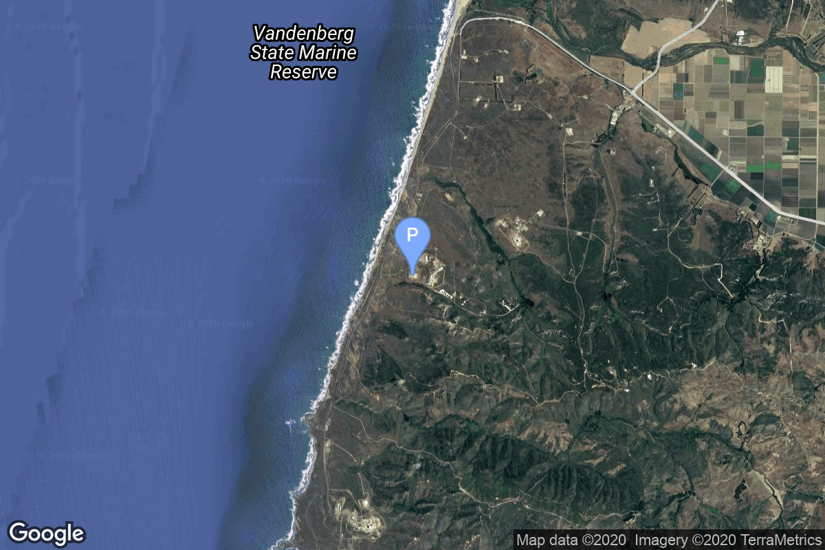
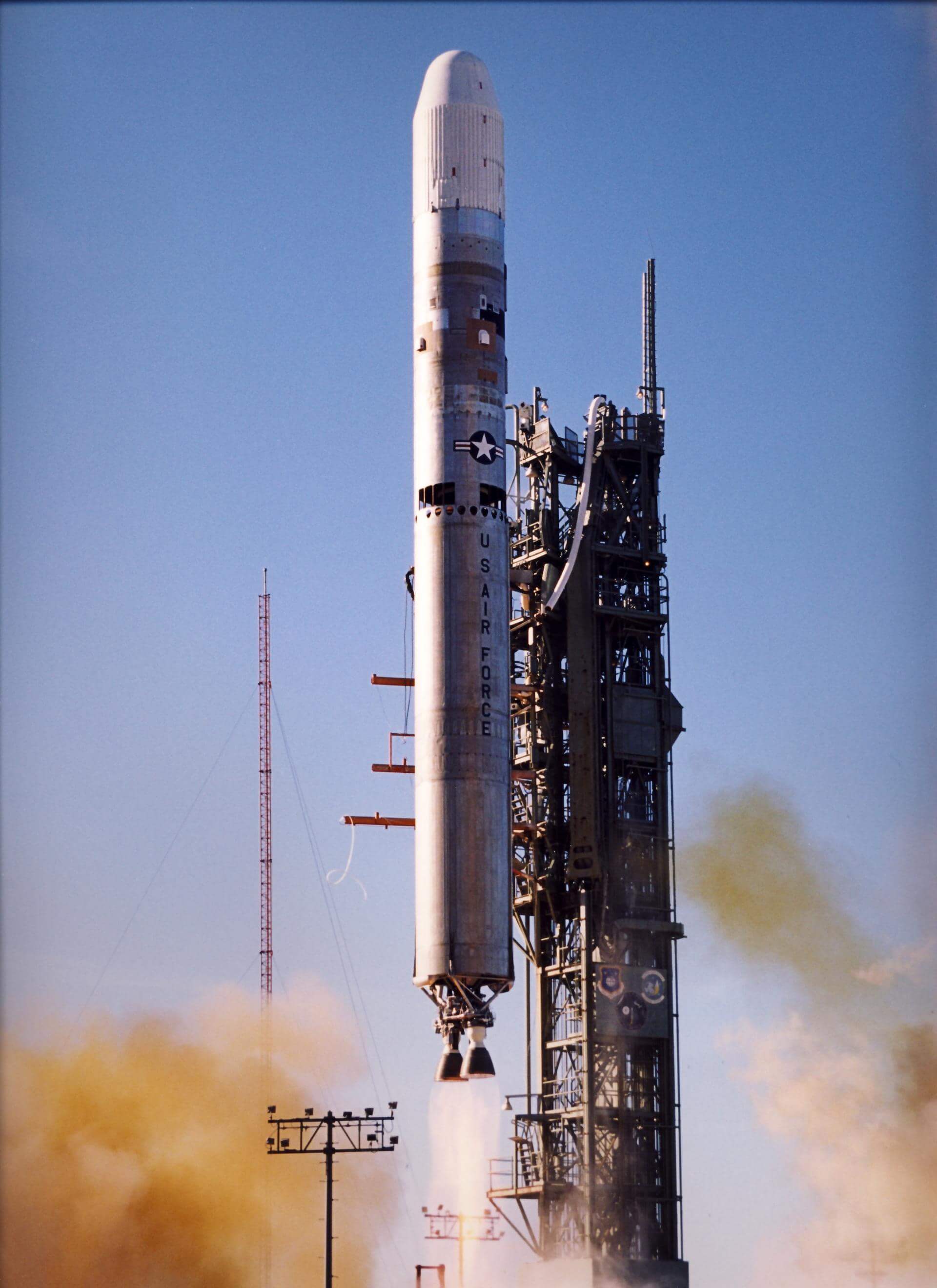
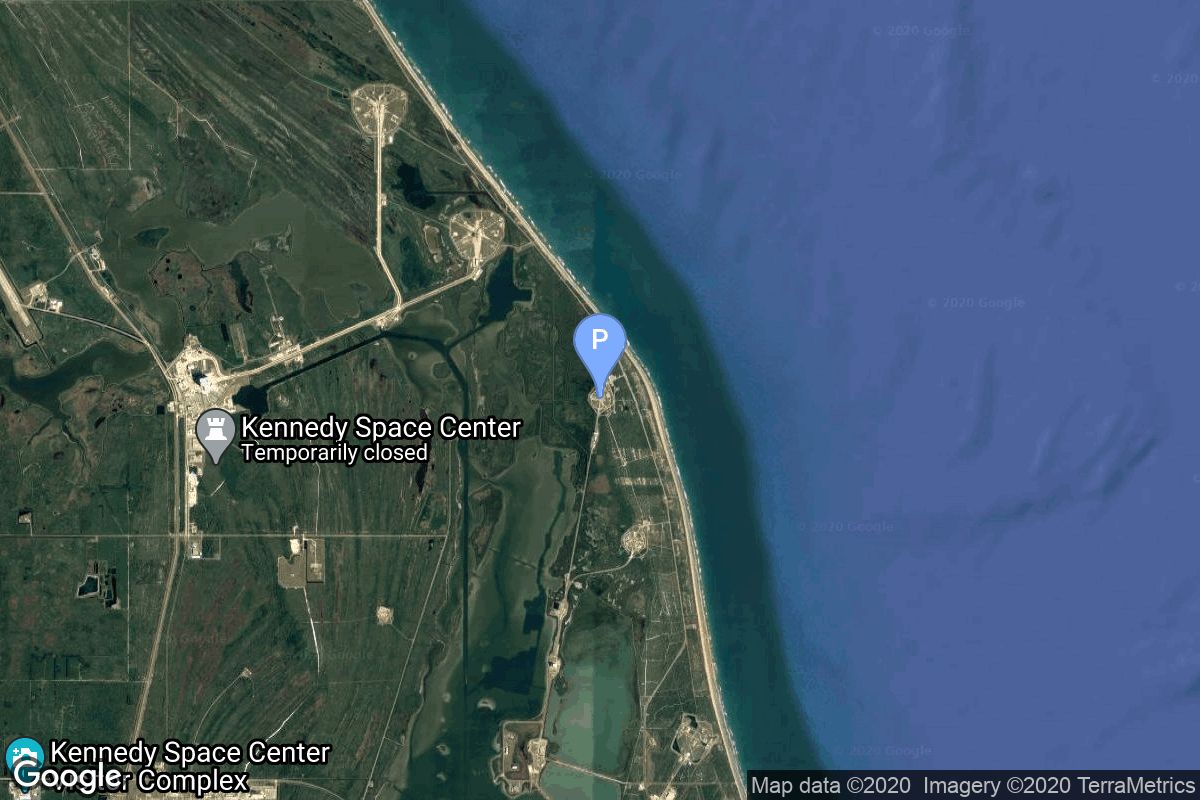
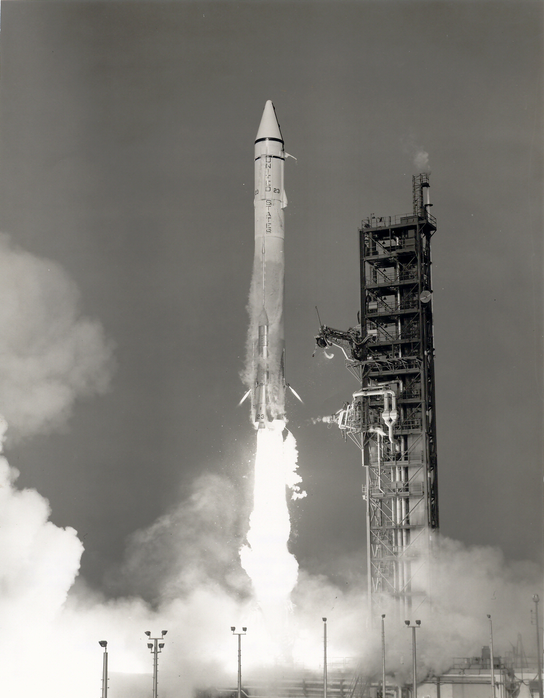
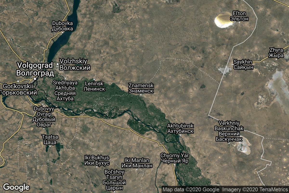
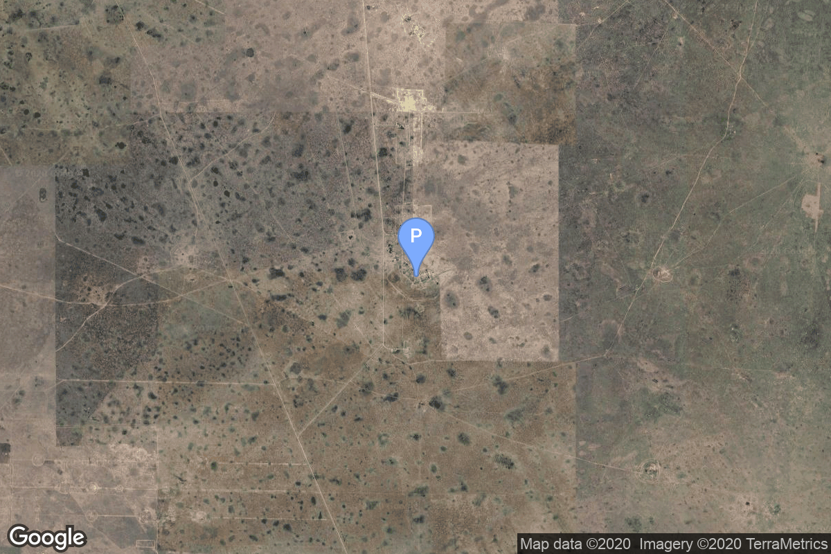
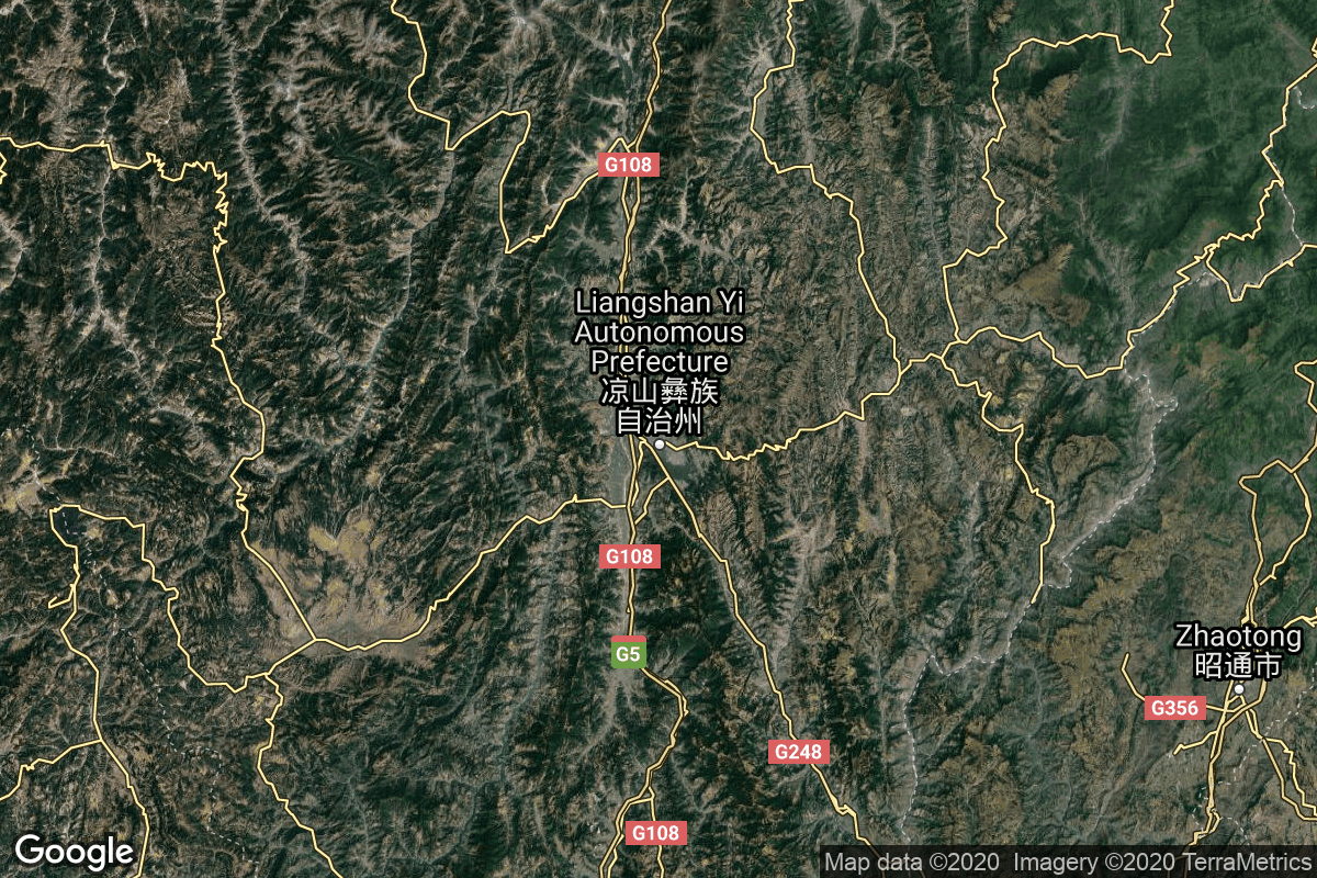
{ "count": 7921, "next": "https://ll.thespacedevs.com/2.2.0/launch/?format=api&limit=10&offset=2780&ordering=id", "previous": "https://ll.thespacedevs.com/2.2.0/launch/?format=api&limit=10&offset=2760&ordering=id", "results": [ { "id": "5b3ab14c-35c6-4dde-b2ef-319167ec518e", "url": "https://ll.thespacedevs.com/2.2.0/launch/5b3ab14c-35c6-4dde-b2ef-319167ec518e/?format=api", "slug": "titan-ii-slv-quikscat", "name": "Titan II SLV | QuikScat", "status": { "id": 3, "name": "Launch Successful", "abbrev": "Success", "description": "The launch vehicle successfully inserted its payload(s) into the target orbit(s)." }, "last_updated": "2023-06-14T04:26:28Z", "net": "1999-06-20T02:15:00Z", "window_end": "1999-06-20T02:15:00Z", "window_start": "1999-06-20T02:15:00Z", "net_precision": null, "probability": null, "weather_concerns": null, "holdreason": "", "failreason": null, "hashtag": null, "launch_service_provider": { "id": 161, "url": "https://ll.thespacedevs.com/2.2.0/agencies/161/?format=api", "name": "United States Air Force", "type": "Government" }, "rocket": { "id": 6926, "configuration": { "id": 436, "url": "https://ll.thespacedevs.com/2.2.0/config/launcher/436/?format=api", "name": "Titan II SLV", "family": "Titan", "full_name": "Titan II SLV", "variant": "23G" } }, "mission": { "id": 5316, "name": "QuikScat", "description": "The SeaWinds instrument on the QuikScat (Quick Scatterometer) mission is a \"quick recovery\" mission to fill the gap created by the loss of data from the NASA Scatterometer (NSCAT), when the ADEOS 1 host satellite lost power in June 1997. The SeaWinds instrument is a specialized microwave radar that measures near-surface wind speed and direction under all weather and cloud conditions over the Earth's oceans.", "launch_designator": null, "type": "Earth Science", "orbit": { "id": 13, "name": "Polar Orbit", "abbrev": "PO" }, "agencies": [], "info_urls": [], "vid_urls": [] }, "pad": { "id": 156, "url": "https://ll.thespacedevs.com/2.2.0/pad/156/?format=api", "agency_id": null, "name": "Space Launch Complex 4W", "description": "SLC-4W started operations in 1963 as Space Launch Complex 4W, and continued as an operational launch site through 2003. In 2015, SpaceX started conversion of the launch site into Landing Zone LZ-4. Landing operations commenced in 2018 at LZ-4.", "info_url": "https://www.astronautix.com/v/vandenbergslc4w.html", "wiki_url": "https://en.wikipedia.org/wiki/Vandenberg_Air_Force_Base_Space_Launch_Complex_4#SLC-4W", "map_url": "https://www.google.com/maps?q=34.63312,-120.61584", "latitude": "34.63312", "longitude": "-120.61584", "location": { "id": 11, "url": "https://ll.thespacedevs.com/2.2.0/location/11/?format=api", "name": "Vandenberg SFB, CA, USA", "country_code": "USA", "description": "Vandenberg Space Force Base is a United States Space Force Base in Santa Barbara County, California. Established in 1941, Vandenberg Space Force Base is a space launch base, launching spacecraft from the Western Range, and also performs missile testing. The United States Space Force's Space Launch Delta 30 serves as the host delta for the base, equivalent to an Air Force air base wing. In addition to its military space launch mission, Vandenberg Space Force Base also hosts space launches for civil and commercial space entities, such as NASA and SpaceX.", "map_image": "https://thespacedevs-prod.nyc3.digitaloceanspaces.com/media/map_images/location_11_20200803142416.jpg", "timezone_name": "America/Los_Angeles", "total_launch_count": 896, "total_landing_count": 35 }, "country_code": "USA", "map_image": "https://thespacedevs-prod.nyc3.digitaloceanspaces.com/media/map_images/pad_156_20200803143351.jpg", "total_launch_count": 93, "orbital_launch_attempt_count": 93 }, "webcast_live": false, "image": "https://thespacedevs-prod.nyc3.digitaloceanspaces.com/media/images/titan_ii_slv_image_20231231110038.jpeg", "infographic": null, "program": [], "orbital_launch_attempt_count": 4324, "location_launch_attempt_count": 593, "pad_launch_attempt_count": 88, "agency_launch_attempt_count": 1013, "orbital_launch_attempt_count_year": 35, "location_launch_attempt_count_year": 5, "pad_launch_attempt_count_year": 1, "agency_launch_attempt_count_year": 10, "type": "normal" }, { "id": "5b3c418c-121c-4d30-a9df-e7b15bdbe9a7", "url": "https://ll.thespacedevs.com/2.2.0/launch/5b3c418c-121c-4d30-a9df-e7b15bdbe9a7/?format=api", "slug": "titan-401a-centaur-trumpet-1", "name": "Titan 401A Centaur | Trumpet 1", "status": { "id": 3, "name": "Launch Successful", "abbrev": "Success", "description": "The launch vehicle successfully inserted its payload(s) into the target orbit(s)." }, "last_updated": "2023-06-14T17:42:34Z", "net": "1994-05-03T15:55:01Z", "window_end": "1994-05-03T15:55:01Z", "window_start": "1994-05-03T15:55:01Z", "net_precision": null, "probability": null, "weather_concerns": null, "holdreason": "", "failreason": null, "hashtag": null, "launch_service_provider": { "id": 161, "url": "https://ll.thespacedevs.com/2.2.0/agencies/161/?format=api", "name": "United States Air Force", "type": "Government" }, "rocket": { "id": 6585, "configuration": { "id": 427, "url": "https://ll.thespacedevs.com/2.2.0/config/launcher/427/?format=api", "name": "Titan 401A Centaur", "family": "Titan", "full_name": "Titan 401A Centaur", "variant": "401A Centaur" } }, "mission": { "id": 4975, "name": "Trumpet 1", "description": "Trumpet signal intelligence satellites were launched by Titan-4(01)A Centaur-T into highly elliptic Molniya-type orbits. In their elliptical orbits they would move very slowly over the northern hemisphere for most of their orbital period, allowing interception of microwave line-of-sight communications beams. Since they would move slowly through the beams during their orbit, a constellation of such satellites was required to monitor Soviet communications throughout the day.", "launch_designator": null, "type": "Government/Top Secret", "orbit": { "id": 0, "name": "Elliptical Orbit", "abbrev": "Elliptical" }, "agencies": [], "info_urls": [], "vid_urls": [] }, "pad": { "id": 29, "url": "https://ll.thespacedevs.com/2.2.0/pad/29/?format=api", "agency_id": null, "name": "Space Launch Complex 41", "description": "", "info_url": null, "wiki_url": "https://en.wikipedia.org/wiki/Cape_Canaveral_Air_Force_Station_Space_Launch_Complex_41", "map_url": "https://www.google.com/maps?q=28.58341025,-80.58303644", "latitude": "28.58341025", "longitude": "-80.58303644", "location": { "id": 12, "url": "https://ll.thespacedevs.com/2.2.0/location/12/?format=api", "name": "Cape Canaveral SFS, FL, USA", "country_code": "USA", "description": "Cape Canaveral Space Force Station (CCSFS) is an installation of the United States Space Force's Space Launch Delta 45, located on Cape Canaveral in Brevard County, Florida.", "map_image": "https://thespacedevs-prod.nyc3.digitaloceanspaces.com/media/map_images/location_12_20200803142519.jpg", "timezone_name": "America/New_York", "total_launch_count": 1119, "total_landing_count": 75 }, "country_code": "USA", "map_image": "https://thespacedevs-prod.nyc3.digitaloceanspaces.com/media/map_images/pad_29_20200803143528.jpg", "total_launch_count": 125, "orbital_launch_attempt_count": 125 }, "webcast_live": false, "image": null, "infographic": null, "program": [], "orbital_launch_attempt_count": 3895, "location_launch_attempt_count": 483, "pad_launch_attempt_count": 21, "agency_launch_attempt_count": 939, "orbital_launch_attempt_count_year": 27, "location_launch_attempt_count_year": 5, "pad_launch_attempt_count_year": 1, "agency_launch_attempt_count_year": 5, "type": "normal" }, { "id": "5b40e5a7-bb9a-475d-a6a6-f80df686e746", "url": "https://ll.thespacedevs.com/2.2.0/launch/5b40e5a7-bb9a-475d-a6a6-f80df686e746/?format=api", "slug": "sparta-wresat", "name": "SPARTA | WRESAT", "status": { "id": 3, "name": "Launch Successful", "abbrev": "Success", "description": "The launch vehicle successfully inserted its payload(s) into the target orbit(s)." }, "last_updated": "2023-06-14T04:29:59Z", "net": "1967-11-29T04:49:00Z", "window_end": "1967-11-29T04:49:00Z", "window_start": "1967-11-29T04:49:00Z", "net_precision": null, "probability": null, "weather_concerns": null, "holdreason": "", "failreason": null, "hashtag": null, "launch_service_provider": { "id": 1016, "url": "https://ll.thespacedevs.com/2.2.0/agencies/1016/?format=api", "name": "Weapons Research Establishment", "type": "Government" }, "rocket": { "id": 3733, "configuration": { "id": 354, "url": "https://ll.thespacedevs.com/2.2.0/config/launcher/354/?format=api", "name": "SPARTA", "family": "", "full_name": "SPARTA", "variant": "" } }, "mission": { "id": 2151, "name": "WRESAT", "description": "Australian satellite carrying four astrophysics experiments.", "launch_designator": null, "type": "Astrophysics", "orbit": { "id": 8, "name": "Low Earth Orbit", "abbrev": "LEO" }, "agencies": [], "info_urls": [], "vid_urls": [] }, "pad": { "id": 181, "url": "https://ll.thespacedevs.com/2.2.0/pad/181/?format=api", "agency_id": null, "name": "Launch Area 8", "description": null, "info_url": null, "wiki_url": "https://en.wikipedia.org/wiki/RAAF_Woomera_Range_Complex", "map_url": "https://www.google.com/maps?q=-30.9552778,136.5300282", "latitude": "-30.9552778", "longitude": "136.5300282", "location": { "id": 152, "url": "https://ll.thespacedevs.com/2.2.0/location/152/?format=api", "name": "RAAF Woomera Range Complex", "country_code": "AUS", "description": "The RAAF Woomera Range Complex (WRC) is a major Australian military and civil aerospace facility and operation located in South Australia, approximately 450 km (280 mi) north-west of Adelaide. The WRC is operated by the Royal Australian Air Force (RAAF), a Service of the Australian Defence Force (ADF). The complex has a land area of 122,188 km2 (47,177 sq mi) or roughly the size of North Korea or Pennsylvania. The airspace above the area is restricted and controlled by the RAAF for safety and security. The WRC is a highly specialised ADF test and evaluation capability operated by the RAAF for the purposes of testing defence materiel.", "map_image": "https://thespacedevs-prod.nyc3.digitaloceanspaces.com/media/map_images/location_152_20200803142502.jpg", "timezone_name": "Australia/Adelaide", "total_launch_count": 6, "total_landing_count": 0 }, "country_code": "AUS", "map_image": "https://thespacedevs-prod.nyc3.digitaloceanspaces.com/media/map_images/pad_181_20200803143447.jpg", "total_launch_count": 1, "orbital_launch_attempt_count": 1 }, "webcast_live": false, "image": "https://thespacedevs-prod.nyc3.digitaloceanspaces.com/media/images/sparta_rocket_o_image_20240411095008.jpeg", "infographic": null, "program": [], "orbital_launch_attempt_count": 779, "location_launch_attempt_count": 1, "pad_launch_attempt_count": 1, "agency_launch_attempt_count": 1, "orbital_launch_attempt_count_year": 131, "location_launch_attempt_count_year": 1, "pad_launch_attempt_count_year": 1, "agency_launch_attempt_count_year": 1, "type": "normal" }, { "id": "5b430133-fd72-4b95-88f6-73fd400c1fc4", "url": "https://ll.thespacedevs.com/2.2.0/launch/5b430133-fd72-4b95-88f6-73fd400c1fc4/?format=api", "slug": "soyuz-u-zenit-4mkm-38", "name": "Soyuz U | Zenit-4MKM 38", "status": { "id": 3, "name": "Launch Successful", "abbrev": "Success", "description": "The launch vehicle successfully inserted its payload(s) into the target orbit(s)." }, "last_updated": "2023-06-14T03:48:17Z", "net": "1980-04-17T08:30:00Z", "window_end": "1980-04-17T08:30:00Z", "window_start": "1980-04-17T08:30:00Z", "net_precision": null, "probability": null, "weather_concerns": null, "holdreason": "", "failreason": null, "hashtag": null, "launch_service_provider": { "id": 66, "url": "https://ll.thespacedevs.com/2.2.0/agencies/66/?format=api", "name": "Soviet Space Program", "type": "Government" }, "rocket": { "id": 5163, "configuration": { "id": 37, "url": "https://ll.thespacedevs.com/2.2.0/config/launcher/37/?format=api", "name": "Soyuz U", "family": "Soyuz", "full_name": "Soyuz U", "variant": "" } }, "mission": { "id": 3574, "name": "Zenit-4MKM 38", "description": "High-resolution film-return Zenit reconnaissance satellite", "launch_designator": null, "type": "Government/Top Secret", "orbit": { "id": 8, "name": "Low Earth Orbit", "abbrev": "LEO" }, "agencies": [], "info_urls": [], "vid_urls": [] }, "pad": { "id": 32, "url": "https://ll.thespacedevs.com/2.2.0/pad/32/?format=api", "agency_id": null, "name": "1/5", "description": null, "info_url": null, "wiki_url": "", "map_url": "https://www.google.com/maps?q=45.92,63.342", "latitude": "45.92", "longitude": "63.342", "location": { "id": 15, "url": "https://ll.thespacedevs.com/2.2.0/location/15/?format=api", "name": "Baikonur Cosmodrome, Republic of Kazakhstan", "country_code": "KAZ", "description": "The Baikonur Cosmodrome is a spaceport operated by Russia within Kazakhstan. Located in the Kazakh city of Baikonur, it is the largest operational space launch facility in terms of area. All Russian crewed spaceflights are launched from Baikonur.", "map_image": "https://thespacedevs-prod.nyc3.digitaloceanspaces.com/media/map_images/location_15_20200803142517.jpg", "timezone_name": "Asia/Qyzylorda", "total_launch_count": 1563, "total_landing_count": 0 }, "country_code": "KAZ", "map_image": "https://thespacedevs-prod.nyc3.digitaloceanspaces.com/media/map_images/pad_32_20200803143513.jpg", "total_launch_count": 487, "orbital_launch_attempt_count": 487 }, "webcast_live": false, "image": "https://thespacedevs-prod.nyc3.digitaloceanspaces.com/media/images/soyuz2520u_image_20190222031023.jpeg", "infographic": null, "program": [], "orbital_launch_attempt_count": 2312, "location_launch_attempt_count": 560, "pad_launch_attempt_count": 175, "agency_launch_attempt_count": 1384, "orbital_launch_attempt_count_year": 29, "location_launch_attempt_count_year": 6, "pad_launch_attempt_count_year": 3, "agency_launch_attempt_count_year": 22, "type": "normal" }, { "id": "5b4704f9-357a-4efa-ab85-6366cc80871a", "url": "https://ll.thespacedevs.com/2.2.0/launch/5b4704f9-357a-4efa-ab85-6366cc80871a/?format=api", "slug": "kosmos-3m-sfera-8", "name": "Kosmos-3M | Sfera 8", "status": { "id": 3, "name": "Launch Successful", "abbrev": "Success", "description": "The launch vehicle successfully inserted its payload(s) into the target orbit(s)." }, "last_updated": "2023-06-14T04:27:29Z", "net": "1972-03-25T02:20:00Z", "window_end": "1972-03-25T02:20:00Z", "window_start": "1972-03-25T02:20:00Z", "net_precision": null, "probability": null, "weather_concerns": null, "holdreason": "", "failreason": null, "hashtag": null, "launch_service_provider": { "id": 66, "url": "https://ll.thespacedevs.com/2.2.0/agencies/66/?format=api", "name": "Soviet Space Program", "type": "Government" }, "rocket": { "id": 4239, "configuration": { "id": 102, "url": "https://ll.thespacedevs.com/2.2.0/config/launcher/102/?format=api", "name": "Kosmos-3M", "family": "Kosmos", "full_name": "Kosmos-3M (11K65M)", "variant": "-3M" } }, "mission": { "id": 2657, "name": "Sfera 8", "description": "The Sfera or Geoid series were the first soviet geodetic satellites to improve the accuracy of maps. The development of the satellites started in 1965 at NPO-PM.", "launch_designator": null, "type": "Earth Science", "orbit": { "id": 8, "name": "Low Earth Orbit", "abbrev": "LEO" }, "agencies": [], "info_urls": [], "vid_urls": [] }, "pad": { "id": 167, "url": "https://ll.thespacedevs.com/2.2.0/pad/167/?format=api", "agency_id": null, "name": "132/2", "description": null, "info_url": null, "wiki_url": "https://en.wikipedia.org/wiki/Plesetsk_Cosmodrome", "map_url": "https://www.google.com/maps?q=62.883,40.869806", "latitude": "62.883", "longitude": "40.869806", "location": { "id": 6, "url": "https://ll.thespacedevs.com/2.2.0/location/6/?format=api", "name": "Plesetsk Cosmodrome, Russian Federation", "country_code": "RUS", "description": "Plesetsk Cosmodrome is a Russian spaceport located in Mirny, Arkhangelsk Oblast, about 800 km north of Moscow and approximately 200 km south of Arkhangelsk. Originally developed as an ICBM site for the R-7 missile, it also served for numerous satellite launches using the R-7 and other rockets. Its high latitude makes it useful only for certain types of launches, especially the Molniya orbits, so for much of the site's history it functioned as a secondary location, with most orbital launches taking place from Baikonur, in the Kazakh SSR. With the end of the Soviet Union, Baikonur became a foreign territory, and Kazakhstan charged $115 million usage fees annually. Consequently, Plesetsk has seen considerably more activity since the 2000s.", "map_image": "https://thespacedevs-prod.nyc3.digitaloceanspaces.com/media/map_images/location_6_20200803142434.jpg", "timezone_name": "Europe/Moscow", "total_launch_count": 1685, "total_landing_count": 0 }, "country_code": "RUS", "map_image": "https://thespacedevs-prod.nyc3.digitaloceanspaces.com/media/map_images/pad_167_20200803143417.jpg", "total_launch_count": 172, "orbital_launch_attempt_count": 172 }, "webcast_live": false, "image": "https://thespacedevs-prod.nyc3.digitaloceanspaces.com/media/images/kosmos-3m_durin_image_20251101171325.jpg", "infographic": null, "program": [], "orbital_launch_attempt_count": 1327, "location_launch_attempt_count": 226, "pad_launch_attempt_count": 35, "agency_launch_attempt_count": 644, "orbital_launch_attempt_count_year": 21, "location_launch_attempt_count_year": 7, "pad_launch_attempt_count_year": 3, "agency_launch_attempt_count_year": 12, "type": "normal" }, { "id": "5b483b3d-d5c5-44df-8a67-c5a8ad87a123", "url": "https://ll.thespacedevs.com/2.2.0/launch/5b483b3d-d5c5-44df-8a67-c5a8ad87a123/?format=api", "slug": "electron-live-laugh-launch-calistus-a-e", "name": "Electron | Live, Laugh, Launch (Calistus A-E)", "status": { "id": 3, "name": "Launch Successful", "abbrev": "Success", "description": "The launch vehicle successfully inserted its payload(s) into the target orbit(s)." }, "last_updated": "2025-11-02T10:11:20Z", "net": "2025-08-23T22:42:00Z", "window_end": "2025-08-23T22:42:00Z", "window_start": "2025-08-23T22:42:00Z", "net_precision": { "id": 1, "name": "Minute", "abbrev": "MIN", "description": "The T-0 is accurate to the minute." }, "probability": null, "weather_concerns": null, "holdreason": "", "failreason": "", "hashtag": null, "launch_service_provider": { "id": 147, "url": "https://ll.thespacedevs.com/2.2.0/agencies/147/?format=api", "name": "Rocket Lab", "type": "Commercial" }, "rocket": { "id": 8686, "configuration": { "id": 26, "url": "https://ll.thespacedevs.com/2.2.0/config/launcher/26/?format=api", "name": "Electron", "family": "", "full_name": "Electron", "variant": "" } }, "mission": { "id": 7278, "name": "Live, Laugh, Launch (Calistus A-E)", "description": "'Live, Laugh, Launch' is the second of two dedicated missions on Electron for a confidential customer in 2025. This mission deployed 5 satellites to a 655 km circular Earth orbit identified as “Calistus A to E”, identified as most likely for Low Earth Orbit communication satellite constellation operator E-Space.", "launch_designator": null, "type": "Communications", "orbit": { "id": 17, "name": "Sun-Synchronous Orbit", "abbrev": "SSO" }, "agencies": [], "info_urls": [], "vid_urls": [] }, "pad": { "id": 65, "url": "https://ll.thespacedevs.com/2.2.0/pad/65/?format=api", "agency_id": 147, "name": "Rocket Lab Launch Complex 1A", "description": "", "info_url": null, "wiki_url": "https://en.wikipedia.org/wiki/Rocket_Lab_Launch_Complex_1", "map_url": "https://www.google.com/maps?q=-39.262833,177.864469", "latitude": "-39.262833", "longitude": "177.864469", "location": { "id": 10, "url": "https://ll.thespacedevs.com/2.2.0/location/10/?format=api", "name": "Rocket Lab Launch Complex 1, Mahia Peninsula, New Zealand", "country_code": "NZL", "description": "Rocket Lab Launch Complex 1 is a commercial spaceport located close to Ahuriri Point at the southern tip of Māhia Peninsula, on the east coast of New Zealand's North Island. It is owned and operated by private spaceflight company Rocket Lab and supports launches of the company's Electron rocket for small satellites. With the launch of Electron on 25 May 2017, it became the first private spaceport to host an orbital launch attempt, and the first site in New Zealand to host an orbital launch attempt. With the Electron launch of 21 January 2018, it became the first private spaceport to host a successful orbital launch.", "map_image": "https://thespacedevs-prod.nyc3.digitaloceanspaces.com/media/map_images/location_10_20200803142509.jpg", "timezone_name": "Pacific/Auckland", "total_launch_count": 78, "total_landing_count": 17 }, "country_code": "NZL", "map_image": "https://thespacedevs-prod.nyc3.digitaloceanspaces.com/media/map_images/pad_65_20200803143549.jpg", "total_launch_count": 41, "orbital_launch_attempt_count": 41 }, "webcast_live": false, "image": "https://thespacedevs-prod.nyc3.digitaloceanspaces.com/media/images/electron_liftof_image_20251102101116.jpg", "infographic": null, "program": [], "orbital_launch_attempt_count": 7040, "location_launch_attempt_count": 64, "pad_launch_attempt_count": 33, "agency_launch_attempt_count": 70, "orbital_launch_attempt_count_year": 191, "location_launch_attempt_count_year": 12, "pad_launch_attempt_count_year": 6, "agency_launch_attempt_count_year": 12, "type": "normal" }, { "id": "5b4a16db-7b29-487f-af92-01d707b969a3", "url": "https://ll.thespacedevs.com/2.2.0/launch/5b4a16db-7b29-487f-af92-01d707b969a3/?format=api", "slug": "atlas-slv-3c-centaur-intelsat-iv-f3", "name": "Atlas SLV-3C Centaur | INTELSAT IV F3", "status": { "id": 3, "name": "Launch Successful", "abbrev": "Success", "description": "The launch vehicle successfully inserted its payload(s) into the target orbit(s)." }, "last_updated": "2023-06-14T17:40:00Z", "net": "1971-12-20T01:10:04Z", "window_end": "1971-12-20T01:10:04Z", "window_start": "1971-12-20T01:10:04Z", "net_precision": null, "probability": null, "weather_concerns": null, "holdreason": "", "failreason": null, "hashtag": null, "launch_service_provider": { "id": 161, "url": "https://ll.thespacedevs.com/2.2.0/agencies/161/?format=api", "name": "United States Air Force", "type": "Government" }, "rocket": { "id": 4215, "configuration": { "id": 260, "url": "https://ll.thespacedevs.com/2.2.0/config/launcher/260/?format=api", "name": "Atlas SLV-3C Centaur", "family": "Atlas", "full_name": "Atlas SLV-3C Centaur", "variant": "SLV-3C Centaur" } }, "mission": { "id": 2633, "name": "INTELSAT IV F3", "description": "Geostationary communications satellite developed by Hughes Aircraft Company", "launch_designator": null, "type": "Communications", "orbit": { "id": 1, "name": "Geostationary Orbit", "abbrev": "Direct-GEO" }, "agencies": [], "info_urls": [], "vid_urls": [] }, "pad": { "id": 121, "url": "https://ll.thespacedevs.com/2.2.0/pad/121/?format=api", "agency_id": 161, "name": "Launch Complex 36A", "description": null, "info_url": null, "wiki_url": "https://en.wikipedia.org/wiki/Cape_Canaveral_Launch_Complex_36", "map_url": "https://www.google.com/maps?q=28.4705556,-80.542194", "latitude": "28.4705556", "longitude": "-80.542194", "location": { "id": 12, "url": "https://ll.thespacedevs.com/2.2.0/location/12/?format=api", "name": "Cape Canaveral SFS, FL, USA", "country_code": "USA", "description": "Cape Canaveral Space Force Station (CCSFS) is an installation of the United States Space Force's Space Launch Delta 45, located on Cape Canaveral in Brevard County, Florida.", "map_image": "https://thespacedevs-prod.nyc3.digitaloceanspaces.com/media/map_images/location_12_20200803142519.jpg", "timezone_name": "America/New_York", "total_launch_count": 1119, "total_landing_count": 75 }, "country_code": "USA", "map_image": "https://thespacedevs-prod.nyc3.digitaloceanspaces.com/media/map_images/pad_121_20200803143231.jpg", "total_launch_count": 71, "orbital_launch_attempt_count": 71 }, "webcast_live": false, "image": "https://thespacedevs-prod.nyc3.digitaloceanspaces.com/media/images/atlas_slv-3c_li_image_20251103141951.jpeg", "infographic": null, "program": [], "orbital_launch_attempt_count": 1302, "location_launch_attempt_count": 262, "pad_launch_attempt_count": 14, "agency_launch_attempt_count": 564, "orbital_launch_attempt_count_year": 131, "location_launch_attempt_count_year": 10, "pad_launch_attempt_count_year": 3, "agency_launch_attempt_count_year": 28, "type": "normal" }, { "id": "5b5374f2-43a6-4743-8a9e-8d4946d48aef", "url": "https://ll.thespacedevs.com/2.2.0/launch/5b5374f2-43a6-4743-8a9e-8d4946d48aef/?format=api", "slug": "kosmos-3m-ds-u3-ik-4", "name": "Kosmos-3M | DS-U3-IK 4", "status": { "id": 3, "name": "Launch Successful", "abbrev": "Success", "description": "The launch vehicle successfully inserted its payload(s) into the target orbit(s)." }, "last_updated": "2023-06-14T04:24:41Z", "net": "1974-05-17T11:00:00Z", "window_end": "1974-05-17T11:00:00Z", "window_start": "1974-05-17T11:00:00Z", "net_precision": null, "probability": null, "weather_concerns": null, "holdreason": "", "failreason": null, "hashtag": null, "launch_service_provider": { "id": 66, "url": "https://ll.thespacedevs.com/2.2.0/agencies/66/?format=api", "name": "Soviet Space Program", "type": "Government" }, "rocket": { "id": 4470, "configuration": { "id": 102, "url": "https://ll.thespacedevs.com/2.2.0/config/launcher/102/?format=api", "name": "Kosmos-3M", "family": "Kosmos", "full_name": "Kosmos-3M (11K65M)", "variant": "-3M" } }, "mission": { "id": 2888, "name": "DS-U3-IK 4", "description": "Satellite designed to measure solar radiation and its effect on the atmosphere.", "launch_designator": null, "type": "Heliophysics", "orbit": { "id": 8, "name": "Low Earth Orbit", "abbrev": "LEO" }, "agencies": [], "info_urls": [], "vid_urls": [] }, "pad": { "id": 137, "url": "https://ll.thespacedevs.com/2.2.0/pad/137/?format=api", "agency_id": null, "name": "107/1", "description": null, "info_url": null, "wiki_url": "https://en.wikipedia.org/wiki/Kapustin_Yar", "map_url": "https://www.google.com/maps?q=48.540716,46.296826", "latitude": "48.540716", "longitude": "46.296826", "location": { "id": 30, "url": "https://ll.thespacedevs.com/2.2.0/location/30/?format=api", "name": "Kapustin Yar, Russian Federation", "country_code": "RUS", "description": "Kapustin Yar is a Russian military training area and a rocket launch complex in Astrakhan Oblast, about 100 km east of Volgograd. It was established by the Soviet Union on 13 May 1946. In the beginning, Kapustin Yar used technology, material, and scientific support gained from the defeat of Germany in World War II. Numerous launches of test rockets for the Russian military were carried out at the site, as well as satellite and sounding rocket launches.", "map_image": "https://thespacedevs-prod.nyc3.digitaloceanspaces.com/media/map_images/location_30_20200803142515.jpg", "timezone_name": "Europe/Volgograd", "total_launch_count": 101, "total_landing_count": 0 }, "country_code": "RUS", "map_image": "https://thespacedevs-prod.nyc3.digitaloceanspaces.com/media/map_images/pad_137_20200803143332.jpg", "total_launch_count": 20, "orbital_launch_attempt_count": 20 }, "webcast_live": false, "image": "https://thespacedevs-prod.nyc3.digitaloceanspaces.com/media/images/kosmos-3m_durin_image_20251101171325.jpg", "infographic": null, "program": [], "orbital_launch_attempt_count": 1574, "location_launch_attempt_count": 76, "pad_launch_attempt_count": 2, "agency_launch_attempt_count": 827, "orbital_launch_attempt_count_year": 36, "location_launch_attempt_count_year": 1, "pad_launch_attempt_count_year": 1, "agency_launch_attempt_count_year": 26, "type": "normal" }, { "id": "5b631850-0913-495e-bf9b-a9d18ae9d55f", "url": "https://ll.thespacedevs.com/2.2.0/launch/5b631850-0913-495e-bf9b-a9d18ae9d55f/?format=api", "slug": "long-march-3a-change-1", "name": "Long March 3A | Chang'e-1", "status": { "id": 3, "name": "Launch Successful", "abbrev": "Success", "description": "The launch vehicle successfully inserted its payload(s) into the target orbit(s)." }, "last_updated": "2023-06-14T03:56:40Z", "net": "2007-10-24T10:05:04Z", "window_end": "2007-10-24T10:05:04Z", "window_start": "2007-10-24T10:05:04Z", "net_precision": null, "probability": null, "weather_concerns": null, "holdreason": "", "failreason": "", "hashtag": null, "launch_service_provider": { "id": 88, "url": "https://ll.thespacedevs.com/2.2.0/agencies/88/?format=api", "name": "China Aerospace Science and Technology Corporation", "type": "Government" }, "rocket": { "id": 7332, "configuration": { "id": 71, "url": "https://ll.thespacedevs.com/2.2.0/config/launcher/71/?format=api", "name": "Long March 3A", "family": "Long March", "full_name": "Long March 3A", "variant": "A" } }, "mission": { "id": 5721, "name": "Chang'e-1", "description": "China's first lunar orbiter. It achieved a 200km lunar orbit where it operated until being deliberately de-orbited and impacting the surface on March 1st, 2009.", "launch_designator": null, "type": "Lunar Exploration", "orbit": { "id": 11, "name": "Lunar Orbit", "abbrev": "LO" }, "agencies": [], "info_urls": [], "vid_urls": [] }, "pad": { "id": 66, "url": "https://ll.thespacedevs.com/2.2.0/pad/66/?format=api", "agency_id": 17, "name": "Launch Complex 3 (LC-3/LA-1)", "description": "", "info_url": null, "wiki_url": "https://en.wikipedia.org/wiki/Xichang_Satellite_Launch_Center", "map_url": "https://www.google.com/maps?q=28.247059,102.029008", "latitude": "28.247059", "longitude": "102.029008", "location": { "id": 16, "url": "https://ll.thespacedevs.com/2.2.0/location/16/?format=api", "name": "Xichang Satellite Launch Center, People's Republic of China", "country_code": "CHN", "description": "The Xichang Satellite Launch Center is a spaceport in China. It is located in Zeyuan Town, northwest of Xichang, Liangshan Yi Autonomous Prefecture in Sichuan.", "map_image": "https://thespacedevs-prod.nyc3.digitaloceanspaces.com/media/map_images/location_16_20200803142513.jpg", "timezone_name": "Asia/Shanghai", "total_launch_count": 241, "total_landing_count": 0 }, "country_code": "CHN", "map_image": "https://thespacedevs-prod.nyc3.digitaloceanspaces.com/media/map_images/pad_66_20200803143611.jpg", "total_launch_count": 108, "orbital_launch_attempt_count": 108 }, "webcast_live": false, "image": "https://thespacedevs-prod.nyc3.digitaloceanspaces.com/media/images/long2520march25203a_image_20190222031143.png", "infographic": null, "program": [ { "id": 18, "url": "https://ll.thespacedevs.com/2.2.0/program/18/?format=api", "name": "Chinese Lunar Exploration Program", "description": "The Chinese Lunar Exploration Program also known as the Chang'e Project after the Chinese moon goddess Chang'e, is an ongoing series of robotic Moon missions by the China National Space Administration (CNSA). The program incorporates lunar orbiters, landers, rovers and sample return spacecraft, launched using Long March rockets.", "agencies": [ { "id": 17, "url": "https://ll.thespacedevs.com/2.2.0/agencies/17/?format=api", "name": "China National Space Administration", "type": "Government" } ], "image_url": "https://thespacedevs-prod.nyc3.digitaloceanspaces.com/media/images/chinese2520lun_program_20201129190923.png", "start_date": "2003-01-01T00:00:00Z", "end_date": null, "info_url": null, "wiki_url": "https://en.wikipedia.org/wiki/Chinese_Lunar_Exploration_Program", "mission_patches": [], "type": { "id": 5, "name": "Exploration" } } ], "orbital_launch_attempt_count": 4871, "location_launch_attempt_count": 47, "pad_launch_attempt_count": 19, "agency_launch_attempt_count": 49, "orbital_launch_attempt_count_year": 54, "location_launch_attempt_count_year": 6, "pad_launch_attempt_count_year": 3, "agency_launch_attempt_count_year": 9, "type": "normal" }, { "id": "5b7afea3-2c27-4194-ba6d-3fe310129892", "url": "https://ll.thespacedevs.com/2.2.0/launch/5b7afea3-2c27-4194-ba6d-3fe310129892/?format=api", "slug": "kosmos-3m-tselina-o-26", "name": "Kosmos-3M | Tselina-O 26", "status": { "id": 3, "name": "Launch Successful", "abbrev": "Success", "description": "The launch vehicle successfully inserted its payload(s) into the target orbit(s)." }, "last_updated": "2023-06-14T03:43:54Z", "net": "1975-02-05T13:15:00Z", "window_end": "1975-02-05T13:15:00Z", "window_start": "1975-02-05T13:15:00Z", "net_precision": null, "probability": null, "weather_concerns": null, "holdreason": "", "failreason": null, "hashtag": null, "launch_service_provider": { "id": 66, "url": "https://ll.thespacedevs.com/2.2.0/agencies/66/?format=api", "name": "Soviet Space Program", "type": "Government" }, "rocket": { "id": 4547, "configuration": { "id": 102, "url": "https://ll.thespacedevs.com/2.2.0/config/launcher/102/?format=api", "name": "Kosmos-3M", "family": "Kosmos", "full_name": "Kosmos-3M (11K65M)", "variant": "-3M" } }, "mission": { "id": 2965, "name": "Tselina-O 26", "description": "The Tselina-O (11F616) was one component of two-satellite Tselina ELINT satellite system. Tselina-O provided general ELINT surveillance to be examined in detail by the larger Tselina-D satellites.", "launch_designator": null, "type": "Government/Top Secret", "orbit": { "id": 8, "name": "Low Earth Orbit", "abbrev": "LEO" }, "agencies": [], "info_urls": [], "vid_urls": [] }, "pad": { "id": 28, "url": "https://ll.thespacedevs.com/2.2.0/pad/28/?format=api", "agency_id": 163, "name": "132/1 (132L)", "description": null, "info_url": null, "wiki_url": "", "map_url": "https://www.google.com/maps?q=62.883229,40.868549", "latitude": "62.883229", "longitude": "40.868549", "location": { "id": 6, "url": "https://ll.thespacedevs.com/2.2.0/location/6/?format=api", "name": "Plesetsk Cosmodrome, Russian Federation", "country_code": "RUS", "description": "Plesetsk Cosmodrome is a Russian spaceport located in Mirny, Arkhangelsk Oblast, about 800 km north of Moscow and approximately 200 km south of Arkhangelsk. Originally developed as an ICBM site for the R-7 missile, it also served for numerous satellite launches using the R-7 and other rockets. Its high latitude makes it useful only for certain types of launches, especially the Molniya orbits, so for much of the site's history it functioned as a secondary location, with most orbital launches taking place from Baikonur, in the Kazakh SSR. With the end of the Soviet Union, Baikonur became a foreign territory, and Kazakhstan charged $115 million usage fees annually. Consequently, Plesetsk has seen considerably more activity since the 2000s.", "map_image": "https://thespacedevs-prod.nyc3.digitaloceanspaces.com/media/map_images/location_6_20200803142434.jpg", "timezone_name": "Europe/Moscow", "total_launch_count": 1685, "total_landing_count": 0 }, "country_code": "RUS", "map_image": "https://thespacedevs-prod.nyc3.digitaloceanspaces.com/media/map_images/pad_28_20200803143254.jpg", "total_launch_count": 212, "orbital_launch_attempt_count": 212 }, "webcast_live": false, "image": "https://thespacedevs-prod.nyc3.digitaloceanspaces.com/media/images/kosmos-3m_durin_image_20251101171325.jpg", "infographic": null, "program": [], "orbital_launch_attempt_count": 1659, "location_launch_attempt_count": 400, "pad_launch_attempt_count": 30, "agency_launch_attempt_count": 893, "orbital_launch_attempt_count_year": 8, "location_launch_attempt_count_year": 5, "pad_launch_attempt_count_year": 1, "agency_launch_attempt_count_year": 7, "type": "normal" } ] }