Launch List
AN API endpoint that returns all Launch objects or a single launch.
EXAMPLE - /launch/[id]/ or /launch/?mode=list&search=SpaceX
GET Return a list of all Launch objects.
FILTERS Fields - 'name', 'id(s)', 'lsp__id', 'lsp__name', 'serial_number', 'launcher_config__id', 'rocket__spacecraftflight__spacecraft__name', 'is_crewed', 'include_suborbital', 'spacecraft_config__ids', 'related', 'location__ids', 'lsp__ids', 'pad__ids', 'status__ids'
MODE 'normal', 'list', 'detailed'
EXAMPLE ?mode=list
SEARCH Searches through the launch name, rocket name, launch agency, mission name & spacecraft name.
EXAMPLE - ?search=SpaceX
GET /2.2.0/launch/?format=api&offset=2710&ordering=id
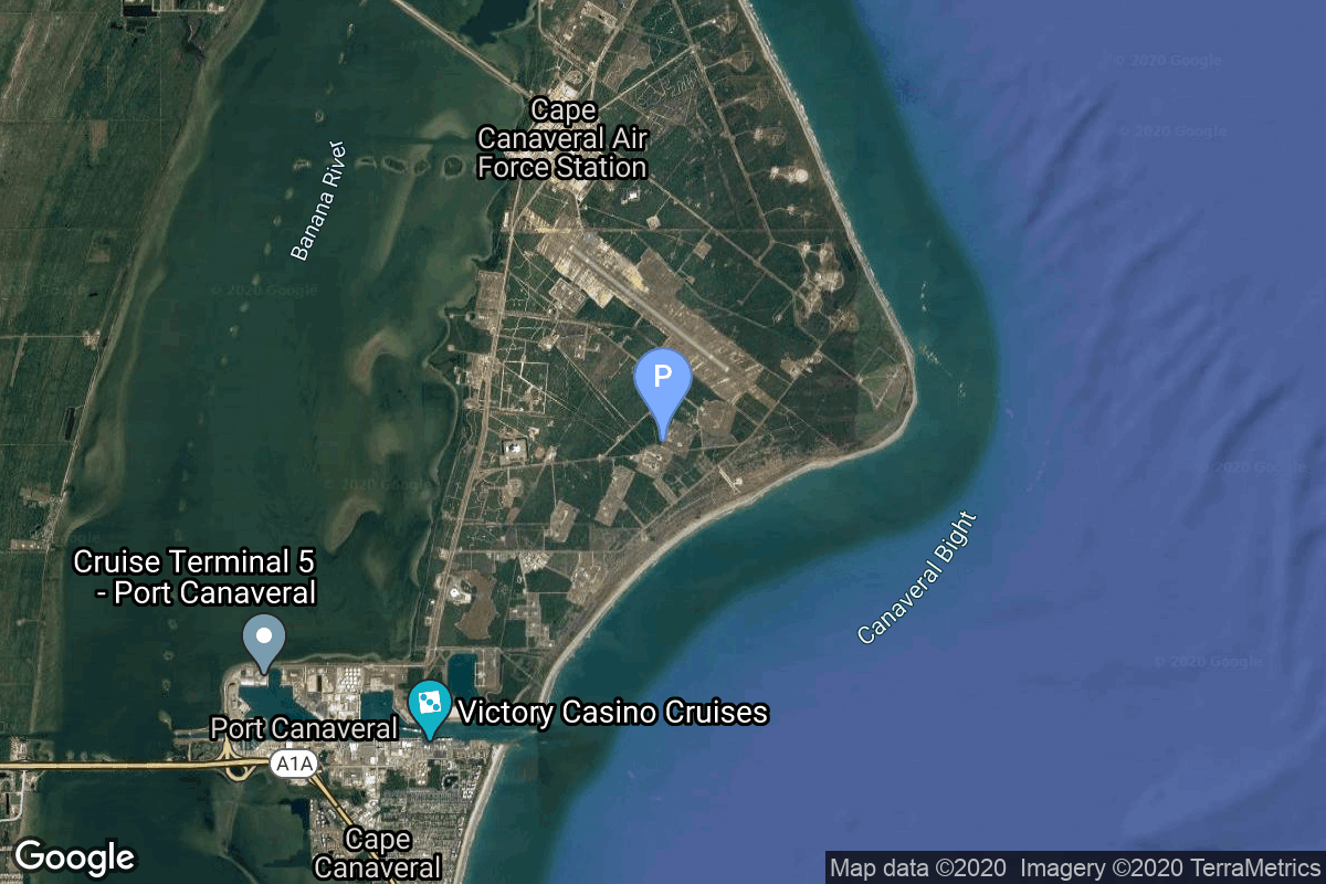
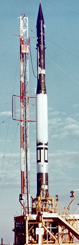
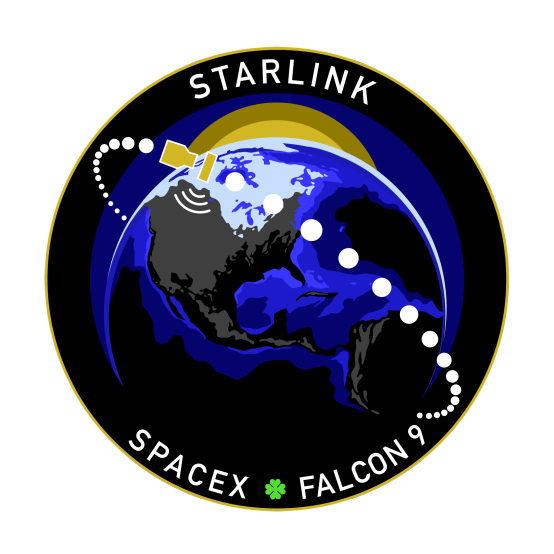
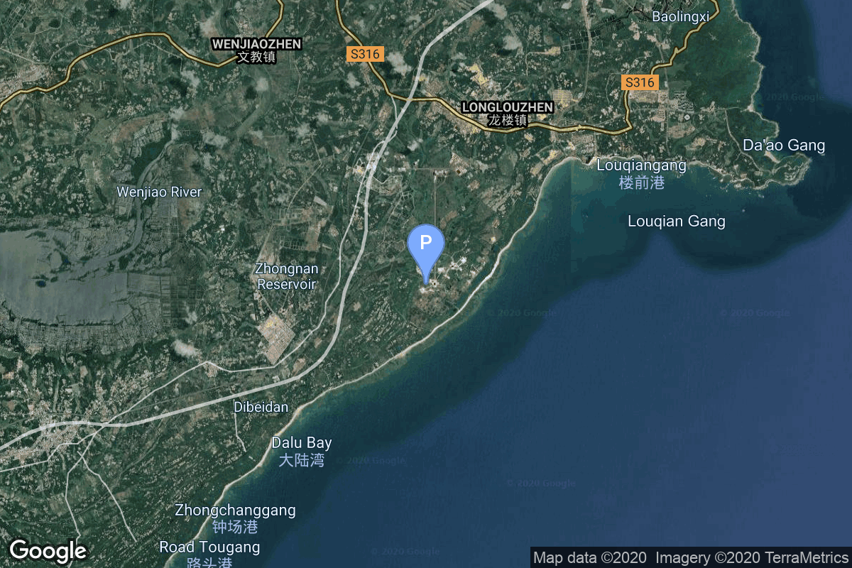
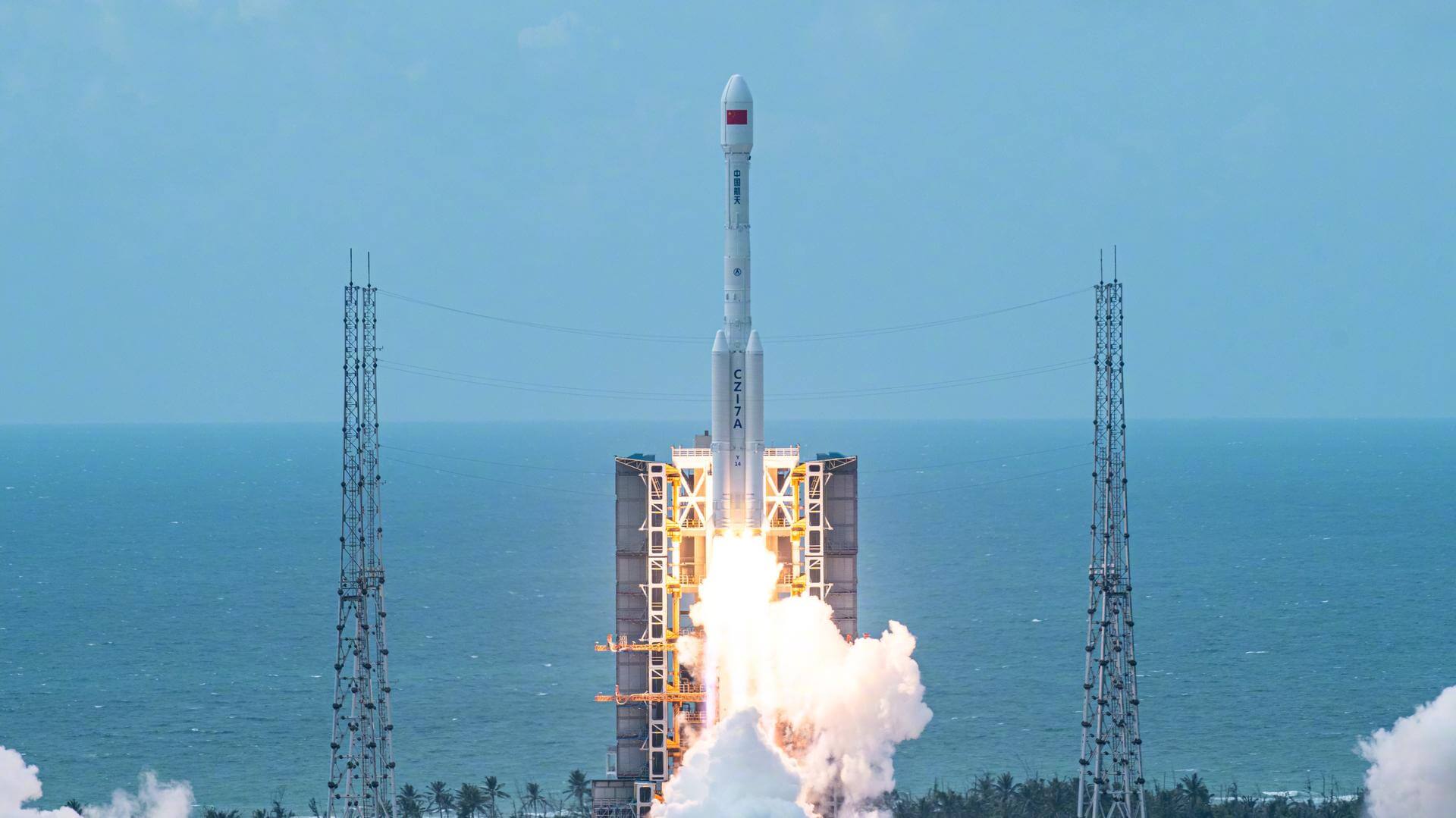
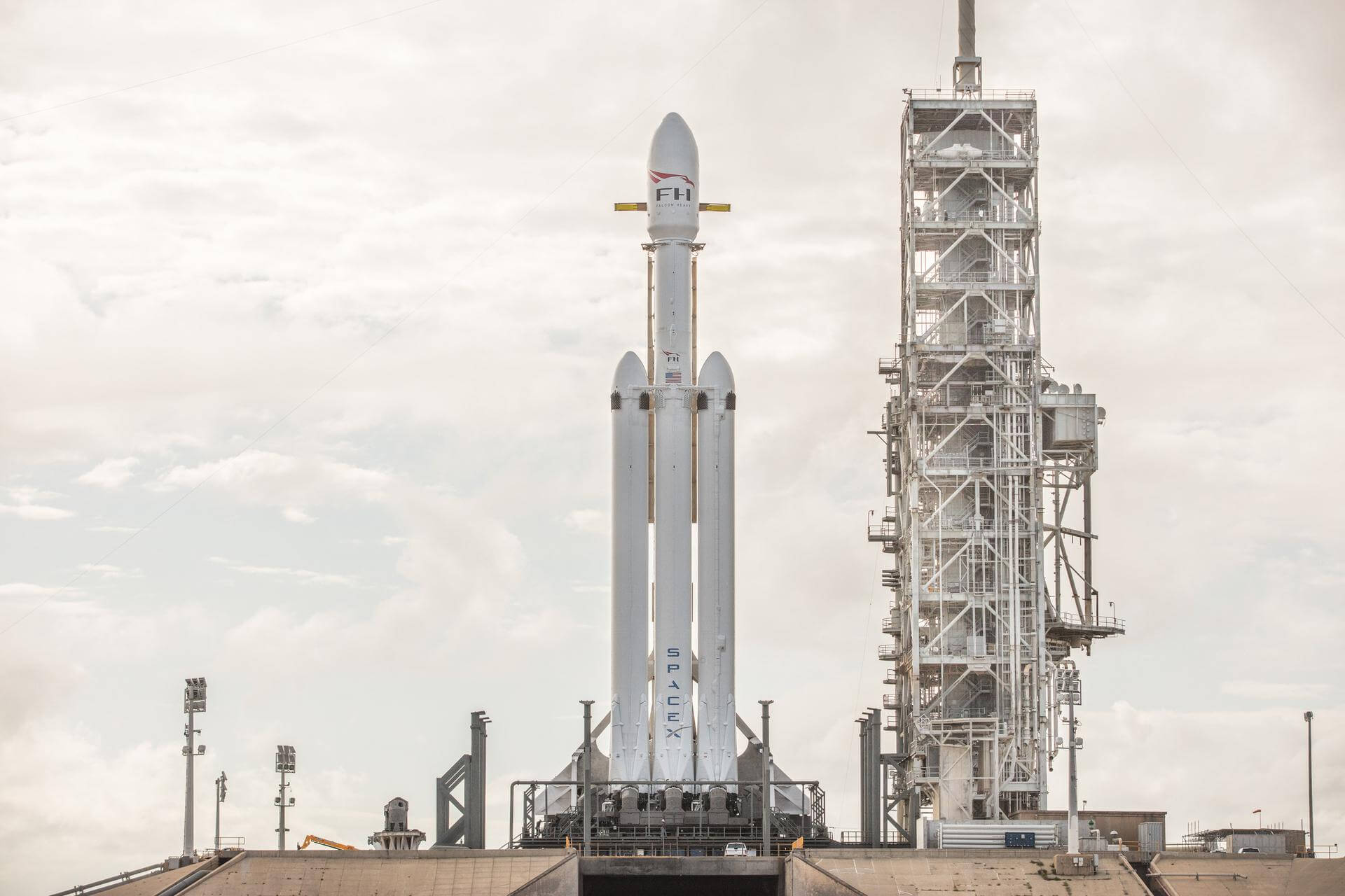
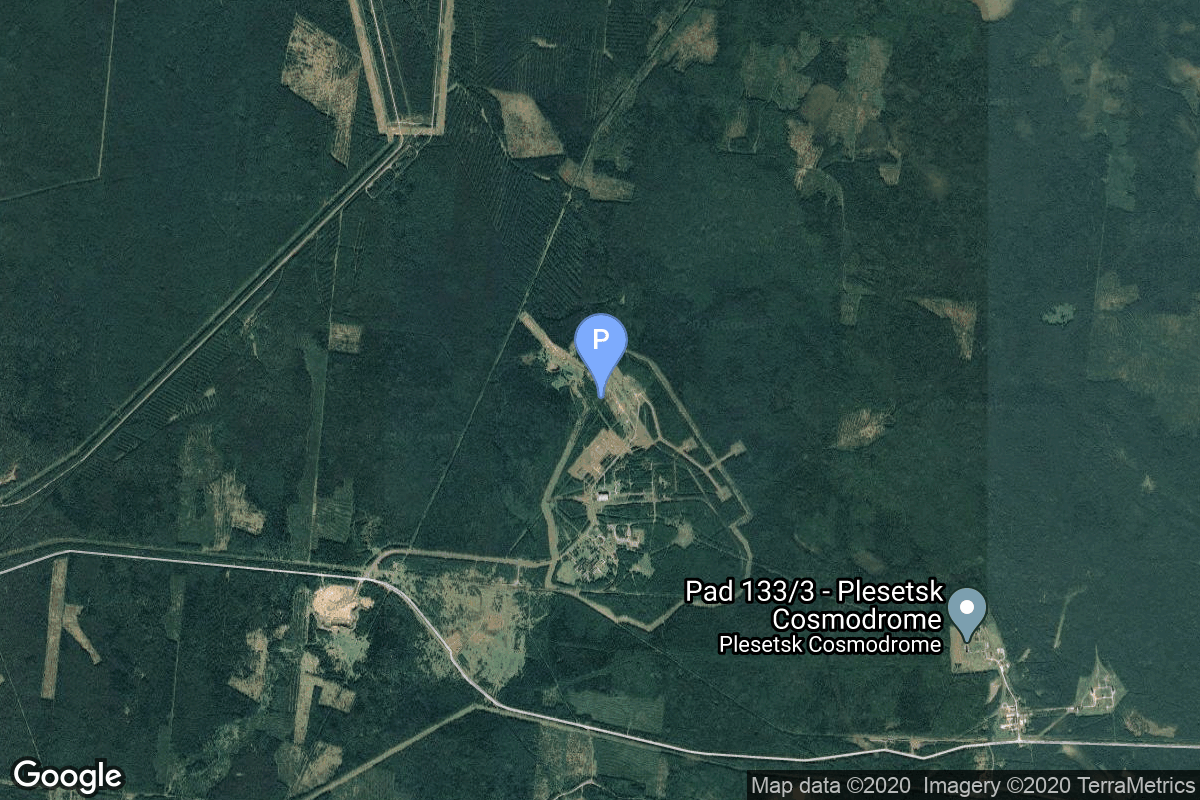
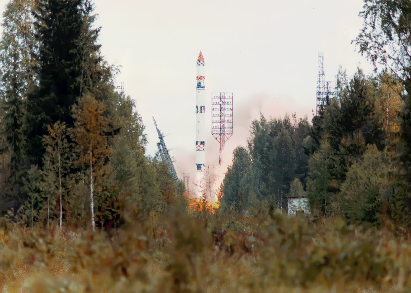
{ "count": 7896, "next": "https://ll.thespacedevs.com/2.2.0/launch/?format=api&limit=10&offset=2720&ordering=id", "previous": "https://ll.thespacedevs.com/2.2.0/launch/?format=api&limit=10&offset=2700&ordering=id", "results": [ { "id": "597540d3-b6b1-44d8-b6e6-3b799dc6b1e4", "url": "https://ll.thespacedevs.com/2.2.0/launch/597540d3-b6b1-44d8-b6e6-3b799dc6b1e4/?format=api", "slug": "vanguard-vanguard-ii", "name": "Vanguard | Vanguard II", "status": { "id": 3, "name": "Launch Successful", "abbrev": "Success", "description": "The launch vehicle successfully inserted its payload(s) into the target orbit(s)." }, "last_updated": "2023-06-14T17:43:00Z", "net": "1959-02-17T15:55:00Z", "window_end": "1959-02-17T15:55:00Z", "window_start": "1959-02-17T15:55:00Z", "net_precision": null, "probability": null, "weather_concerns": null, "holdreason": "", "failreason": null, "hashtag": null, "launch_service_provider": { "id": 166, "url": "https://ll.thespacedevs.com/2.2.0/agencies/166/?format=api", "name": "US Navy", "type": "Government" }, "rocket": { "id": 3035, "configuration": { "id": 449, "url": "https://ll.thespacedevs.com/2.2.0/config/launcher/449/?format=api", "name": "Vanguard", "family": "", "full_name": "Vanguard", "variant": "" } }, "mission": { "id": 1457, "name": "Vanguard II", "description": "Vanguard II is an Earth orbiting satellite and the first weather satellite. It was designed to measure cloud-cover distribution over the daylight portion of its orbit for a period of 19 days and to provide information on the density of the atmosphere.", "launch_designator": null, "type": "Earth Science", "orbit": { "id": 12, "name": "Medium Earth Orbit", "abbrev": "MEO" }, "agencies": [], "info_urls": [], "vid_urls": [] }, "pad": { "id": 118, "url": "https://ll.thespacedevs.com/2.2.0/pad/118/?format=api", "agency_id": 166, "name": "Launch Complex 18A", "description": null, "info_url": null, "wiki_url": "https://en.wikipedia.org/wiki/Cape_Canaveral_Launch_Complex_18", "map_url": "https://www.google.com/maps?q=28.4493,-80.564494", "latitude": "28.4493", "longitude": "-80.564494", "location": { "id": 12, "url": "https://ll.thespacedevs.com/2.2.0/location/12/?format=api", "name": "Cape Canaveral SFS, FL, USA", "country_code": "USA", "description": "Cape Canaveral Space Force Station (CCSFS) is an installation of the United States Space Force's Space Launch Delta 45, located on Cape Canaveral in Brevard County, Florida.", "map_image": "https://thespacedevs-prod.nyc3.digitaloceanspaces.com/media/map_images/location_12_20200803142519.jpg", "timezone_name": "America/New_York", "total_launch_count": 1113, "total_landing_count": 75 }, "country_code": "USA", "map_image": "https://thespacedevs-prod.nyc3.digitaloceanspaces.com/media/map_images/pad_118_20200803143338.jpg", "total_launch_count": 18, "orbital_launch_attempt_count": 11 }, "webcast_live": false, "image": "https://thespacedevs-prod.nyc3.digitaloceanspaces.com/media/images/vanguard_1_on_p_image_20240411114304.jpeg", "infographic": null, "program": [], "orbital_launch_attempt_count": 33, "location_launch_attempt_count": 19, "pad_launch_attempt_count": 8, "agency_launch_attempt_count": 14, "orbital_launch_attempt_count_year": 2, "location_launch_attempt_count_year": 1, "pad_launch_attempt_count_year": 1, "agency_launch_attempt_count_year": 1, "type": "normal" }, { "id": "5976a0a6-e5d3-4aaf-839e-fb3498b74155", "url": "https://ll.thespacedevs.com/2.2.0/launch/5976a0a6-e5d3-4aaf-839e-fb3498b74155/?format=api", "slug": "atlas-ii-dscs-3-b10", "name": "Atlas II | DSCS-3 B10", "status": { "id": 3, "name": "Launch Successful", "abbrev": "Success", "description": "The launch vehicle successfully inserted its payload(s) into the target orbit(s)." }, "last_updated": "2023-06-14T17:40:03Z", "net": "1993-11-28T23:40:02Z", "window_end": "1993-11-28T23:40:02Z", "window_start": "1993-11-28T23:40:02Z", "net_precision": null, "probability": null, "weather_concerns": null, "holdreason": "", "failreason": null, "hashtag": null, "launch_service_provider": { "id": 161, "url": "https://ll.thespacedevs.com/2.2.0/agencies/161/?format=api", "name": "United States Air Force", "type": "Government" }, "rocket": { "id": 6560, "configuration": { "id": 253, "url": "https://ll.thespacedevs.com/2.2.0/config/launcher/253/?format=api", "name": "Atlas II", "family": "Atlas", "full_name": "Atlas II", "variant": "II" } }, "mission": { "id": 4950, "name": "DSCS-3 B10", "description": "DSCS-3 (Defense Satellite Communications System 3) are geostationary communications satellites, which provide a robust anti-jam, nuclear hardened capability that supports Department of Defense (DoD) worldwide requirements, White House and Diplomatic communications. They are the follow-on generation of the DSCS-2 satellites.", "launch_designator": null, "type": "Communications", "orbit": { "id": 1, "name": "Geostationary Orbit", "abbrev": "Direct-GEO" }, "agencies": [], "info_urls": [], "vid_urls": [] }, "pad": { "id": 121, "url": "https://ll.thespacedevs.com/2.2.0/pad/121/?format=api", "agency_id": 161, "name": "Launch Complex 36A", "description": null, "info_url": null, "wiki_url": "https://en.wikipedia.org/wiki/Cape_Canaveral_Launch_Complex_36", "map_url": "https://www.google.com/maps?q=28.4705556,-80.542194", "latitude": "28.4705556", "longitude": "-80.542194", "location": { "id": 12, "url": "https://ll.thespacedevs.com/2.2.0/location/12/?format=api", "name": "Cape Canaveral SFS, FL, USA", "country_code": "USA", "description": "Cape Canaveral Space Force Station (CCSFS) is an installation of the United States Space Force's Space Launch Delta 45, located on Cape Canaveral in Brevard County, Florida.", "map_image": "https://thespacedevs-prod.nyc3.digitaloceanspaces.com/media/map_images/location_12_20200803142519.jpg", "timezone_name": "America/New_York", "total_launch_count": 1113, "total_landing_count": 75 }, "country_code": "USA", "map_image": "https://thespacedevs-prod.nyc3.digitaloceanspaces.com/media/map_images/pad_121_20200803143231.jpg", "total_launch_count": 71, "orbital_launch_attempt_count": 71 }, "webcast_live": false, "image": null, "infographic": null, "program": [], "orbital_launch_attempt_count": 3863, "location_launch_attempt_count": 476, "pad_launch_attempt_count": 35, "agency_launch_attempt_count": 932, "orbital_launch_attempt_count_year": 78, "location_launch_attempt_count_year": 10, "pad_launch_attempt_count_year": 2, "agency_launch_attempt_count_year": 12, "type": "normal" }, { "id": "5979cdd6-e7d2-4bb9-8748-fac74bf5dd69", "url": "https://ll.thespacedevs.com/2.2.0/launch/5979cdd6-e7d2-4bb9-8748-fac74bf5dd69/?format=api", "slug": "soyuz-u-zenit-8-70", "name": "Soyuz U | Zenit-8 70", "status": { "id": 3, "name": "Launch Successful", "abbrev": "Success", "description": "The launch vehicle successfully inserted its payload(s) into the target orbit(s)." }, "last_updated": "2023-06-14T03:50:22Z", "net": "1988-10-13T11:19:59Z", "window_end": "1988-10-13T11:19:59Z", "window_start": "1988-10-13T11:19:59Z", "net_precision": null, "probability": null, "weather_concerns": null, "holdreason": "", "failreason": null, "hashtag": null, "launch_service_provider": { "id": 66, "url": "https://ll.thespacedevs.com/2.2.0/agencies/66/?format=api", "name": "Soviet Space Program", "type": "Government" }, "rocket": { "id": 6119, "configuration": { "id": 37, "url": "https://ll.thespacedevs.com/2.2.0/config/launcher/37/?format=api", "name": "Soyuz U", "family": "Soyuz", "full_name": "Soyuz U", "variant": "" } }, "mission": { "id": 4509, "name": "Zenit-8 70", "description": "Film-return reconnaissance satellite", "launch_designator": null, "type": "Government/Top Secret", "orbit": { "id": 8, "name": "Low Earth Orbit", "abbrev": "LEO" }, "agencies": [], "info_urls": [], "vid_urls": [] }, "pad": { "id": 35, "url": "https://ll.thespacedevs.com/2.2.0/pad/35/?format=api", "agency_id": 163, "name": "16/2", "description": null, "info_url": null, "wiki_url": "", "map_url": "https://www.google.com/maps?q=62.960091,40.682983", "latitude": "62.960091", "longitude": "40.682983", "location": { "id": 6, "url": "https://ll.thespacedevs.com/2.2.0/location/6/?format=api", "name": "Plesetsk Cosmodrome, Russian Federation", "country_code": "RUS", "description": "Plesetsk Cosmodrome is a Russian spaceport located in Mirny, Arkhangelsk Oblast, about 800 km north of Moscow and approximately 200 km south of Arkhangelsk. Originally developed as an ICBM site for the R-7 missile, it also served for numerous satellite launches using the R-7 and other rockets. Its high latitude makes it useful only for certain types of launches, especially the Molniya orbits, so for much of the site's history it functioned as a secondary location, with most orbital launches taking place from Baikonur, in the Kazakh SSR. With the end of the Soviet Union, Baikonur became a foreign territory, and Kazakhstan charged $115 million usage fees annually. Consequently, Plesetsk has seen considerably more activity since the 2000s.", "map_image": "https://thespacedevs-prod.nyc3.digitaloceanspaces.com/media/map_images/location_6_20200803142434.jpg", "timezone_name": "Europe/Moscow", "total_launch_count": 1685, "total_landing_count": 0 }, "country_code": "RUS", "map_image": "https://thespacedevs-prod.nyc3.digitaloceanspaces.com/media/map_images/pad_35_20200803143306.jpg", "total_launch_count": 136, "orbital_launch_attempt_count": 136 }, "webcast_live": false, "image": "https://thespacedevs-prod.nyc3.digitaloceanspaces.com/media/images/soyuz2520u_image_20190222031023.jpeg", "infographic": null, "program": [], "orbital_launch_attempt_count": 3351, "location_launch_attempt_count": 1239, "pad_launch_attempt_count": 72, "agency_launch_attempt_count": 2223, "orbital_launch_attempt_count_year": 98, "location_launch_attempt_count_year": 40, "pad_launch_attempt_count_year": 8, "agency_launch_attempt_count_year": 76, "type": "normal" }, { "id": "597cbe7c-4df2-46f2-9234-a3747e0a105b", "url": "https://ll.thespacedevs.com/2.2.0/launch/597cbe7c-4df2-46f2-9234-a3747e0a105b/?format=api", "slug": "falcon-9-block-5-starlink-group-4-29", "name": "Falcon 9 Block 5 | Starlink Group 4-29", "status": { "id": 3, "name": "Launch Successful", "abbrev": "Success", "description": "The launch vehicle successfully inserted its payload(s) into the target orbit(s)." }, "last_updated": "2024-03-05T18:36:28Z", "net": "2022-10-05T23:10:30Z", "window_end": "2022-10-05T23:10:30Z", "window_start": "2022-10-05T23:10:30Z", "net_precision": null, "probability": null, "weather_concerns": null, "holdreason": "", "failreason": "", "hashtag": null, "launch_service_provider": { "id": 121, "url": "https://ll.thespacedevs.com/2.2.0/agencies/121/?format=api", "name": "SpaceX", "type": "Commercial" }, "rocket": { "id": 7635, "configuration": { "id": 164, "url": "https://ll.thespacedevs.com/2.2.0/config/launcher/164/?format=api", "name": "Falcon 9", "family": "Falcon", "full_name": "Falcon 9 Block 5", "variant": "Block 5" } }, "mission": { "id": 6135, "name": "Starlink Group 4-29", "description": "A batch of 52 satellites for Starlink mega-constellation - SpaceX's project for space-based Internet communication system.", "launch_designator": null, "type": "Communications", "orbit": { "id": 8, "name": "Low Earth Orbit", "abbrev": "LEO" }, "agencies": [], "info_urls": [], "vid_urls": [] }, "pad": { "id": 16, "url": "https://ll.thespacedevs.com/2.2.0/pad/16/?format=api", "agency_id": null, "name": "Space Launch Complex 4E", "description": "Space Launch Complex 4 East (SLC-4E) is a launch site at Vandenberg Space Force Base, California, U.S.\r\n\r\nThe pad was previously used by Atlas and Titan rockets between 1963 and 2005. The pad was built for use by Atlas-Agena rockets, but was later rebuilt to handle Titan rockets.", "info_url": null, "wiki_url": "https://en.wikipedia.org/wiki/Vandenberg_Space_Launch_Complex_4#SLC-4E", "map_url": "https://www.google.com/maps?q=34.632,-120.611", "latitude": "34.632", "longitude": "-120.611", "location": { "id": 11, "url": "https://ll.thespacedevs.com/2.2.0/location/11/?format=api", "name": "Vandenberg SFB, CA, USA", "country_code": "USA", "description": "Vandenberg Space Force Base is a United States Space Force Base in Santa Barbara County, California. Established in 1941, Vandenberg Space Force Base is a space launch base, launching spacecraft from the Western Range, and also performs missile testing. The United States Space Force's Space Launch Delta 30 serves as the host delta for the base, equivalent to an Air Force air base wing. In addition to its military space launch mission, Vandenberg Space Force Base also hosts space launches for civil and commercial space entities, such as NASA and SpaceX.", "map_image": "https://thespacedevs-prod.nyc3.digitaloceanspaces.com/media/map_images/location_11_20200803142416.jpg", "timezone_name": "America/Los_Angeles", "total_launch_count": 888, "total_landing_count": 34 }, "country_code": "USA", "map_image": "https://thespacedevs-prod.nyc3.digitaloceanspaces.com/media/map_images/pad_16_20200803143532.jpg", "total_launch_count": 272, "orbital_launch_attempt_count": 272 }, "webcast_live": false, "image": "https://thespacedevs-prod.nyc3.digitaloceanspaces.com/media/images/falcon2520925_image_20221009234147.png", "infographic": null, "program": [ { "id": 25, "url": "https://ll.thespacedevs.com/2.2.0/program/25/?format=api", "name": "Starlink", "description": "Starlink is a satellite internet constellation operated by American aerospace company SpaceX", "agencies": [ { "id": 121, "url": "https://ll.thespacedevs.com/2.2.0/agencies/121/?format=api", "name": "SpaceX", "type": "Commercial" } ], "image_url": "https://thespacedevs-prod.nyc3.digitaloceanspaces.com/media/images/starlink_program_20231228154508.jpeg", "start_date": "2018-02-22T14:17:00Z", "end_date": null, "info_url": "https://starlink.com", "wiki_url": "https://en.wikipedia.org/wiki/Starlink", "mission_patches": [ { "id": 7, "name": "Space X Starlink Mission Patch", "priority": 10, "image_url": "https://thespacedevs-prod.nyc3.digitaloceanspaces.com/media/mission_patch_images/space2520x252_mission_patch_20221011205756.png", "agency": { "id": 121, "url": "https://ll.thespacedevs.com/2.2.0/agencies/121/?format=api", "name": "SpaceX", "type": "Commercial" } } ], "type": { "id": 3, "name": "Communication Constellation" } } ], "orbital_launch_attempt_count": 6311, "location_launch_attempt_count": 705, "pad_launch_attempt_count": 97, "agency_launch_attempt_count": 197, "orbital_launch_attempt_count_year": 129, "location_launch_attempt_count_year": 12, "pad_launch_attempt_count_year": 10, "agency_launch_attempt_count_year": 45, "type": "normal" }, { "id": "59831598-6413-41fb-ae61-ad731c05dc4f", "url": "https://ll.thespacedevs.com/2.2.0/launch/59831598-6413-41fb-ae61-ad731c05dc4f/?format=api", "slug": "long-march-7a-chinasat-3b", "name": "Long March 7A | ChinaSat 3B", "status": { "id": 3, "name": "Launch Successful", "abbrev": "Success", "description": "The launch vehicle successfully inserted its payload(s) into the target orbit(s)." }, "last_updated": "2025-05-21T10:56:20Z", "net": "2025-05-20T11:50:00Z", "window_end": "2025-05-20T13:11:00Z", "window_start": "2025-05-20T11:42:00Z", "net_precision": { "id": 1, "name": "Minute", "abbrev": "MIN", "description": "The T-0 is accurate to the minute." }, "probability": null, "weather_concerns": null, "holdreason": "", "failreason": "", "hashtag": null, "launch_service_provider": { "id": 88, "url": "https://ll.thespacedevs.com/2.2.0/agencies/88/?format=api", "name": "China Aerospace Science and Technology Corporation", "type": "Government" }, "rocket": { "id": 8616, "configuration": { "id": 216, "url": "https://ll.thespacedevs.com/2.2.0/config/launcher/216/?format=api", "name": "Long March 7A", "family": "Long March", "full_name": "Long March 7A", "variant": "A" } }, "mission": { "id": 7208, "name": "ChinaSat 3B", "description": "Chinese communication geostationary satellite for unknown purposes.", "launch_designator": null, "type": "Communications", "orbit": { "id": 2, "name": "Geostationary Transfer Orbit", "abbrev": "GTO" }, "agencies": [], "info_urls": [], "vid_urls": [] }, "pad": { "id": 176, "url": "https://ll.thespacedevs.com/2.2.0/pad/176/?format=api", "agency_id": null, "name": "201", "description": "", "info_url": null, "wiki_url": "https://en.wikipedia.org/wiki/Wenchang_Spacecraft_Launch_Site", "map_url": "https://www.google.com/maps?q=19.618452,110.955356", "latitude": "19.618452", "longitude": "110.955356", "location": { "id": 8, "url": "https://ll.thespacedevs.com/2.2.0/location/8/?format=api", "name": "Wenchang Space Launch Site, People's Republic of China", "country_code": "CHN", "description": "The Wenchang Space Launch Site is a rocket launch site located in Wenchang on the island of Hainan, in China.\r\n\r\nFormally a suborbital test center, it currently serves as China's southernmost spaceport. The site was selected for its low latitude, 19° north of the equator, allowing for larger payloads to be launched. It is capable of launching the Long March 5, the heaviest Chinese rocket. Unlike launch facilities on the mainland, Wenchang uses its seaport for deliveries.", "map_image": "https://thespacedevs-prod.nyc3.digitaloceanspaces.com/media/map_images/location_8_20200803142445.jpg", "timezone_name": "Asia/Shanghai", "total_launch_count": 63, "total_landing_count": 0 }, "country_code": "CHN", "map_image": "https://thespacedevs-prod.nyc3.digitaloceanspaces.com/media/map_images/pad_176_20200803143412.jpg", "total_launch_count": 30, "orbital_launch_attempt_count": 30 }, "webcast_live": false, "image": "https://thespacedevs-prod.nyc3.digitaloceanspaces.com/media/images/cz-7a_launch_2_image_20251206093324.jpeg", "infographic": null, "program": [], "orbital_launch_attempt_count": 6959, "location_launch_attempt_count": 39, "pad_launch_attempt_count": 23, "agency_launch_attempt_count": 524, "orbital_launch_attempt_count_year": 110, "location_launch_attempt_count_year": 5, "pad_launch_attempt_count_year": 3, "agency_launch_attempt_count_year": 23, "type": "normal" }, { "id": "598af929-31d4-4544-ad77-e0b6f9c8f460", "url": "https://ll.thespacedevs.com/2.2.0/launch/598af929-31d4-4544-ad77-e0b6f9c8f460/?format=api", "slug": "falcon-heavy-demo-test-flight", "name": "Falcon Heavy | Demo (Test Flight)", "status": { "id": 3, "name": "Launch Successful", "abbrev": "Success", "description": "The launch vehicle successfully inserted its payload(s) into the target orbit(s)." }, "last_updated": "2024-03-05T18:22:00Z", "net": "2018-02-06T20:45:00Z", "window_end": "2018-02-06T21:00:00Z", "window_start": "2018-02-06T18:30:00Z", "net_precision": null, "probability": 90, "weather_concerns": null, "holdreason": "", "failreason": "", "hashtag": null, "launch_service_provider": { "id": 121, "url": "https://ll.thespacedevs.com/2.2.0/agencies/121/?format=api", "name": "SpaceX", "type": "Commercial" }, "rocket": { "id": 2076, "configuration": { "id": 161, "url": "https://ll.thespacedevs.com/2.2.0/config/launcher/161/?format=api", "name": "Falcon Heavy", "family": "Falcon", "full_name": "Falcon Heavy", "variant": "Heavy" } }, "mission": { "id": 490, "name": "Demo Flight 1 (Maiden Flight)", "description": "This will be the inaugural flight of the Falcon Heavy. The test payload will be SpaceX CEO Elon Musk's midnight cherry Tesla Roadster playing Space Oddity. Destination: An elliptical, heliocentric orbit. Apoapsis: Around Mars' orbital distance.", "launch_designator": null, "type": "Test Flight", "orbit": { "id": 6, "name": "Heliocentric N/A", "abbrev": "Helio-N/A" }, "agencies": [], "info_urls": [], "vid_urls": [] }, "pad": { "id": 87, "url": "https://ll.thespacedevs.com/2.2.0/pad/87/?format=api", "agency_id": 121, "name": "Launch Complex 39A", "description": "", "info_url": null, "wiki_url": "https://en.wikipedia.org/wiki/Kennedy_Space_Center_Launch_Complex_39#Launch_Pad_39A", "map_url": "https://www.google.com/maps?q=28.60822681,-80.60428186", "latitude": "28.60822681", "longitude": "-80.60428186", "location": { "id": 27, "url": "https://ll.thespacedevs.com/2.2.0/location/27/?format=api", "name": "Kennedy Space Center, FL, USA", "country_code": "USA", "description": "The John F. Kennedy Space Center, located on Merritt Island, Florida, is one of NASA's ten field centers. Since 1968, KSC has been NASA's primary launch center of American spaceflight, research, and technology. Launch operations for the Apollo, Skylab and Space Shuttle programs were carried out from Kennedy Space Center Launch Complex 39 and managed by KSC. Located on the east coast of Florida, KSC is adjacent to Cape Canaveral Space Force Station (CCSFS).", "map_image": "https://thespacedevs-prod.nyc3.digitaloceanspaces.com/media/map_images/location_27_20200803142447.jpg", "timezone_name": "America/New_York", "total_launch_count": 281, "total_landing_count": 0 }, "country_code": "USA", "map_image": "https://thespacedevs-prod.nyc3.digitaloceanspaces.com/media/map_images/pad_87_20200803143537.jpg", "total_launch_count": 222, "orbital_launch_attempt_count": 221 }, "webcast_live": false, "image": "https://thespacedevs-prod.nyc3.digitaloceanspaces.com/media/images/falcon2520heav_image_20230723154051.jpeg", "infographic": null, "program": [], "orbital_launch_attempt_count": 5723, "location_launch_attempt_count": 166, "pad_launch_attempt_count": 109, "agency_launch_attempt_count": 55, "orbital_launch_attempt_count_year": 17, "location_launch_attempt_count_year": 1, "pad_launch_attempt_count_year": 1, "agency_launch_attempt_count_year": 3, "type": "normal" }, { "id": "5998c086-32fa-47b2-93f3-0713d2c38fa5", "url": "https://ll.thespacedevs.com/2.2.0/launch/5998c086-32fa-47b2-93f3-0713d2c38fa5/?format=api", "slug": "ariane-5-eca-al-yah-3-ses-14", "name": "Ariane 5 ECA | Al Yah 3 & SES-14", "status": { "id": 7, "name": "Launch was a Partial Failure", "abbrev": "Partial Failure", "description": "Either the launch vehicle reached orbit but did not deliver its payload in the targeted orbit, or an exceptional event made it impossible to consider the mission a success." }, "last_updated": "2023-06-14T04:01:23Z", "net": "2018-01-25T22:20:00Z", "window_end": "2018-01-25T23:05:00Z", "window_start": "2018-01-25T22:20:00Z", "net_precision": null, "probability": null, "weather_concerns": null, "holdreason": "", "failreason": "Payloads placed into an incorrect orbit.", "hashtag": "#VA241", "launch_service_provider": { "id": 115, "url": "https://ll.thespacedevs.com/2.2.0/agencies/115/?format=api", "name": "Arianespace", "type": "Commercial" }, "rocket": { "id": 1307, "configuration": { "id": 20, "url": "https://ll.thespacedevs.com/2.2.0/config/launcher/20/?format=api", "name": "Ariane 5 ECA", "family": "Ariane", "full_name": "Ariane 5 ECA", "variant": "ECA" } }, "mission": { "id": 904, "name": "Al Yah 3 & SES-14", "description": "Al Yah 3 is a geostationary communications satellite built by Orbital ATK for Yahsat. It weighs 3790 kg, carries 53 Ka-band user beams and 4 gateway beams, and is intended for 15 years of operation in orbit. Al Yah 3 will provide telecommunication services to Africa and Brazil. SES-14 is also a communications satellite to be placed in geostationary orbit, replacing NSS-806 satellite. SES-14 coverage includes the Americas and the North Atlantic Region. Spacecraft also carries a hosted payload for NASA, Global-Scale Observations of the Limb and Disk (GOLD) mission, which will be imaging Earth's thermosphere and ionospehere for two years.", "launch_designator": null, "type": "Communications", "orbit": { "id": 18, "name": "Supersynchronous Transfer Orbit", "abbrev": "Super-GTO" }, "agencies": [], "info_urls": [], "vid_urls": [] }, "pad": { "id": 77, "url": "https://ll.thespacedevs.com/2.2.0/pad/77/?format=api", "agency_id": 115, "name": "Ariane Launch Area 3", "description": "ELA-3, is a launch pad and associated facilities at the Centre Spatial Guyanais in French Guiana. ELA-3 was operated by Arianespace as part of the expendable launch system for Ariane 5 launch vehicles.", "info_url": null, "wiki_url": "https://en.wikipedia.org/wiki/ELA-3", "map_url": "https://www.google.com/maps?q=5.239,-52.768", "latitude": "5.239", "longitude": "-52.768", "location": { "id": 13, "url": "https://ll.thespacedevs.com/2.2.0/location/13/?format=api", "name": "Guiana Space Centre, French Guiana", "country_code": "GUF", "description": "The Guiana Space Centre is a European spaceport to the northwest of Kourou in French Guiana, a region of France in South America. Kourou is located at a latitude of 5°. In operation since 1968, it is a suitable location for a spaceport because of its equatorial location and open sea to the east.", "map_image": "https://thespacedevs-prod.nyc3.digitaloceanspaces.com/media/map_images/location_13_20200803142412.jpg", "timezone_name": "America/Cayenne", "total_launch_count": 333, "total_landing_count": 0 }, "country_code": "GUF", "map_image": "https://thespacedevs-prod.nyc3.digitaloceanspaces.com/media/map_images/pad_77_20200803143458.jpg", "total_launch_count": 118, "orbital_launch_attempt_count": 118 }, "webcast_live": false, "image": "https://thespacedevs-prod.nyc3.digitaloceanspaces.com/media/images/ariane252052520eca_image_20190224012333.jpeg", "infographic": null, "program": [], "orbital_launch_attempt_count": 5718, "location_launch_attempt_count": 278, "pad_launch_attempt_count": 98, "agency_launch_attempt_count": 263, "orbital_launch_attempt_count_year": 12, "location_launch_attempt_count_year": 1, "pad_launch_attempt_count_year": 1, "agency_launch_attempt_count_year": 1, "type": "normal" }, { "id": "599ba2df-7483-4b2f-a083-2b5ddc06e069", "url": "https://ll.thespacedevs.com/2.2.0/launch/599ba2df-7483-4b2f-a083-2b5ddc06e069/?format=api", "slug": "electron-loxsat-1", "name": "Electron | LOXSAT 1", "status": { "id": 2, "name": "To Be Determined", "abbrev": "TBD", "description": "Current date is a placeholder or rough estimation based on unreliable or interpreted sources." }, "last_updated": "2026-05-15T13:14:39Z", "net": "2026-07-17T00:00:00Z", "window_end": "2026-07-17T00:00:00Z", "window_start": "2026-07-17T00:00:00Z", "net_precision": { "id": 5, "name": "Day", "abbrev": "DAY", "description": "The T-0 is expected on the given day." }, "probability": null, "weather_concerns": null, "holdreason": "", "failreason": "", "hashtag": null, "launch_service_provider": { "id": 147, "url": "https://ll.thespacedevs.com/2.2.0/agencies/147/?format=api", "name": "Rocket Lab", "type": "Commercial" }, "rocket": { "id": 8764, "configuration": { "id": 26, "url": "https://ll.thespacedevs.com/2.2.0/config/launcher/26/?format=api", "name": "Electron", "family": "", "full_name": "Electron", "variant": "" } }, "mission": { "id": 7355, "name": "LOXSAT 1", "description": "LOXSAT 1 is a demonstration satellite of a complete cryogenic oxygen fluid management system in orbit, developed by Eta Space and sponsored by NASA's Tipping Point program.\r\n\r\nThe system will be integrated on a Rocket Lab Photon-LEO satellite bus and collect critical cryogenic fluid management data in orbit for 9 months, demonstrating capabilities of in-space cryogenic storage and transferal. Eta Space plans to use technology developed for this mission to develop a truly commercial depot intended to serve multiple customers in the future.", "launch_designator": null, "type": "Technology", "orbit": { "id": 8, "name": "Low Earth Orbit", "abbrev": "LEO" }, "agencies": [], "info_urls": [], "vid_urls": [] }, "pad": { "id": 210, "url": "https://ll.thespacedevs.com/2.2.0/pad/210/?format=api", "agency_id": null, "name": "Unknown Pad", "description": null, "info_url": null, "wiki_url": null, "map_url": null, "latitude": "-39.260881", "longitude": "177.865826", "location": { "id": 10, "url": "https://ll.thespacedevs.com/2.2.0/location/10/?format=api", "name": "Rocket Lab Launch Complex 1, Mahia Peninsula, New Zealand", "country_code": "NZL", "description": "Rocket Lab Launch Complex 1 is a commercial spaceport located close to Ahuriri Point at the southern tip of Māhia Peninsula, on the east coast of New Zealand's North Island. It is owned and operated by private spaceflight company Rocket Lab and supports launches of the company's Electron rocket for small satellites. With the launch of Electron on 25 May 2017, it became the first private spaceport to host an orbital launch attempt, and the first site in New Zealand to host an orbital launch attempt. With the Electron launch of 21 January 2018, it became the first private spaceport to host a successful orbital launch.", "map_image": "https://thespacedevs-prod.nyc3.digitaloceanspaces.com/media/map_images/location_10_20200803142509.jpg", "timezone_name": "Pacific/Auckland", "total_launch_count": 76, "total_landing_count": 17 }, "country_code": "NZL", "map_image": "https://thespacedevs-prod.nyc3.digitaloceanspaces.com/media/map_images/pad_210_20230819165718.jpg", "total_launch_count": 0, "orbital_launch_attempt_count": 0 }, "webcast_live": false, "image": "https://thespacedevs-prod.nyc3.digitaloceanspaces.com/media/images/electron_image_20190705175640.jpeg", "infographic": null, "program": [], "orbital_launch_attempt_count": 7339, "location_launch_attempt_count": 79, "pad_launch_attempt_count": 3, "agency_launch_attempt_count": 92, "orbital_launch_attempt_count_year": 166, "location_launch_attempt_count_year": 10, "pad_launch_attempt_count_year": 3, "agency_launch_attempt_count_year": 13, "type": "normal" }, { "id": "59a1addd-f882-4530-9612-8a0b1301422e", "url": "https://ll.thespacedevs.com/2.2.0/launch/59a1addd-f882-4530-9612-8a0b1301422e/?format=api", "slug": "tsiklon-3-tselina-d-69", "name": "Tsiklon-3 | Tselina-D 69", "status": { "id": 4, "name": "Launch Failure", "abbrev": "Failure", "description": "Either the launch vehicle did not reach orbit, or the payload(s) failed to separate." }, "last_updated": "2023-06-14T04:23:05Z", "net": "1994-05-25T10:15:00Z", "window_end": "1994-05-25T10:15:00Z", "window_start": "1994-05-25T10:15:00Z", "net_precision": null, "probability": null, "weather_concerns": null, "holdreason": "", "failreason": "", "hashtag": null, "launch_service_provider": { "id": 193, "url": "https://ll.thespacedevs.com/2.2.0/agencies/193/?format=api", "name": "Russian Space Forces", "type": "Government" }, "rocket": { "id": 6589, "configuration": { "id": 445, "url": "https://ll.thespacedevs.com/2.2.0/config/launcher/445/?format=api", "name": "Tsiklon-3", "family": "Tsiklon", "full_name": "Tsiklon-3", "variant": "3" } }, "mission": { "id": 4979, "name": "Tselina-D 69", "description": "Tselina-D satellites provided detailed observation of radio sources detected by the smaller Tselina-O satellites as part of the Tselina ELINT system.", "launch_designator": null, "type": "Government/Top Secret", "orbit": { "id": 8, "name": "Low Earth Orbit", "abbrev": "LEO" }, "agencies": [], "info_urls": [], "vid_urls": [] }, "pad": { "id": 127, "url": "https://ll.thespacedevs.com/2.2.0/pad/127/?format=api", "agency_id": 63, "name": "32/2", "description": null, "info_url": null, "wiki_url": "https://en.wikipedia.org/wiki/Plesetsk_Cosmodrome_Site_32", "map_url": "https://www.google.com/maps?q=62.9063889,40.7844727", "latitude": "62.9063889", "longitude": "40.7844727", "location": { "id": 6, "url": "https://ll.thespacedevs.com/2.2.0/location/6/?format=api", "name": "Plesetsk Cosmodrome, Russian Federation", "country_code": "RUS", "description": "Plesetsk Cosmodrome is a Russian spaceport located in Mirny, Arkhangelsk Oblast, about 800 km north of Moscow and approximately 200 km south of Arkhangelsk. Originally developed as an ICBM site for the R-7 missile, it also served for numerous satellite launches using the R-7 and other rockets. Its high latitude makes it useful only for certain types of launches, especially the Molniya orbits, so for much of the site's history it functioned as a secondary location, with most orbital launches taking place from Baikonur, in the Kazakh SSR. With the end of the Soviet Union, Baikonur became a foreign territory, and Kazakhstan charged $115 million usage fees annually. Consequently, Plesetsk has seen considerably more activity since the 2000s.", "map_image": "https://thespacedevs-prod.nyc3.digitaloceanspaces.com/media/map_images/location_6_20200803142434.jpg", "timezone_name": "Europe/Moscow", "total_launch_count": 1685, "total_landing_count": 0 }, "country_code": "RUS", "map_image": "https://thespacedevs-prod.nyc3.digitaloceanspaces.com/media/map_images/pad_127_20200803143245.jpg", "total_launch_count": 65, "orbital_launch_attempt_count": 65 }, "webcast_live": false, "image": "https://thespacedevs-prod.nyc3.digitaloceanspaces.com/media/images/tsyklon-3_launc_image_20251112153513.png", "infographic": null, "program": [], "orbital_launch_attempt_count": 3901, "location_launch_attempt_count": 1446, "pad_launch_attempt_count": 58, "agency_launch_attempt_count": 35, "orbital_launch_attempt_count_year": 33, "location_launch_attempt_count_year": 6, "pad_launch_attempt_count_year": 1, "agency_launch_attempt_count_year": 5, "type": "normal" }, { "id": "59aba246-f581-45ff-9bab-65852ae6de65", "url": "https://ll.thespacedevs.com/2.2.0/launch/59aba246-f581-45ff-9bab-65852ae6de65/?format=api", "slug": "pslv-cartosat-1", "name": "PSLV | Cartosat-1", "status": { "id": 3, "name": "Launch Successful", "abbrev": "Success", "description": "The launch vehicle successfully inserted its payload(s) into the target orbit(s)." }, "last_updated": "2023-06-14T04:08:52Z", "net": "2005-05-05T04:45:00Z", "window_end": "2005-05-05T04:45:00Z", "window_start": "2005-05-05T04:45:00Z", "net_precision": null, "probability": null, "weather_concerns": null, "holdreason": "", "failreason": null, "hashtag": null, "launch_service_provider": { "id": 31, "url": "https://ll.thespacedevs.com/2.2.0/agencies/31/?format=api", "name": "Indian Space Research Organization", "type": "Government" }, "rocket": { "id": 7224, "configuration": { "id": 7, "url": "https://ll.thespacedevs.com/2.2.0/config/launcher/7/?format=api", "name": "PSLV", "family": "PSLV", "full_name": "PSLV", "variant": "" } }, "mission": { "id": 5613, "name": "Cartosat-1", "description": "Cartosat-1 or IRS-P5 is a stereoscopic Earth observation satellite in a sun-synchronous orbit, and the first one of the Cartosat series of satellites. The eleventh satellite of ISRO in IRS series.", "launch_designator": null, "type": "Earth Science", "orbit": { "id": 17, "name": "Sun-Synchronous Orbit", "abbrev": "SSO" }, "agencies": [], "info_urls": [], "vid_urls": [] }, "pad": { "id": 82, "url": "https://ll.thespacedevs.com/2.2.0/pad/82/?format=api", "agency_id": 31, "name": "Satish Dhawan Space Centre Second Launch Pad", "description": "The second launch pad was built between 1999 and 2003. It became functional in 2005 and has since been used for various rockets. This launch pad supports missions by PSLV, GSLV, LVM3 rockets and is even envisioned for India's future crewed spaceflight.", "info_url": null, "wiki_url": "https://en.wikipedia.org/wiki/Satish_Dhawan_Space_Centre_Second_Launch_Pad", "map_url": "https://www.google.com/maps?q=13.7199,80.2304", "latitude": "13.7199", "longitude": "80.2304", "location": { "id": 14, "url": "https://ll.thespacedevs.com/2.2.0/location/14/?format=api", "name": "Satish Dhawan Space Centre, India", "country_code": "IND", "description": "Satish Dhawan Space Centre – SDSC (formerly Sriharikota Range – SHAR),[1] is the primary spaceport of the Indian Space Research Organisation (ISRO), located in Sriharikota, Andhra Pradesh.", "map_image": "https://thespacedevs-prod.nyc3.digitaloceanspaces.com/media/map_images/location_14_20200803142403.jpg", "timezone_name": "Asia/Kolkata", "total_launch_count": 103, "total_landing_count": 0 }, "country_code": "IND", "map_image": "https://thespacedevs-prod.nyc3.digitaloceanspaces.com/media/map_images/pad_82_20200803143602.jpg", "total_launch_count": 32, "orbital_launch_attempt_count": 31 }, "webcast_live": false, "image": "https://thespacedevs-prod.nyc3.digitaloceanspaces.com/media/images/pslv_image_20190508083736.jpeg", "infographic": null, "program": [], "orbital_launch_attempt_count": 4711, "location_launch_attempt_count": 20, "pad_launch_attempt_count": 1, "agency_launch_attempt_count": 20, "orbital_launch_attempt_count_year": 17, "location_launch_attempt_count_year": 1, "pad_launch_attempt_count_year": 1, "agency_launch_attempt_count_year": 1, "type": "normal" } ] }