Launch List
AN API endpoint that returns all Launch objects or a single launch.
EXAMPLE - /launch/[id]/ or /launch/?mode=list&search=SpaceX
GET Return a list of all Launch objects.
FILTERS Fields - 'name', 'id(s)', 'lsp__id', 'lsp__name', 'serial_number', 'launcher_config__id', 'rocket__spacecraftflight__spacecraft__name', 'is_crewed', 'include_suborbital', 'spacecraft_config__ids', 'related', 'location__ids', 'lsp__ids', 'pad__ids', 'status__ids'
MODE 'normal', 'list', 'detailed'
EXAMPLE ?mode=list
SEARCH Searches through the launch name, rocket name, launch agency, mission name & spacecraft name.
EXAMPLE - ?search=SpaceX
GET /2.2.0/launch/?format=api&offset=250&ordering=-net
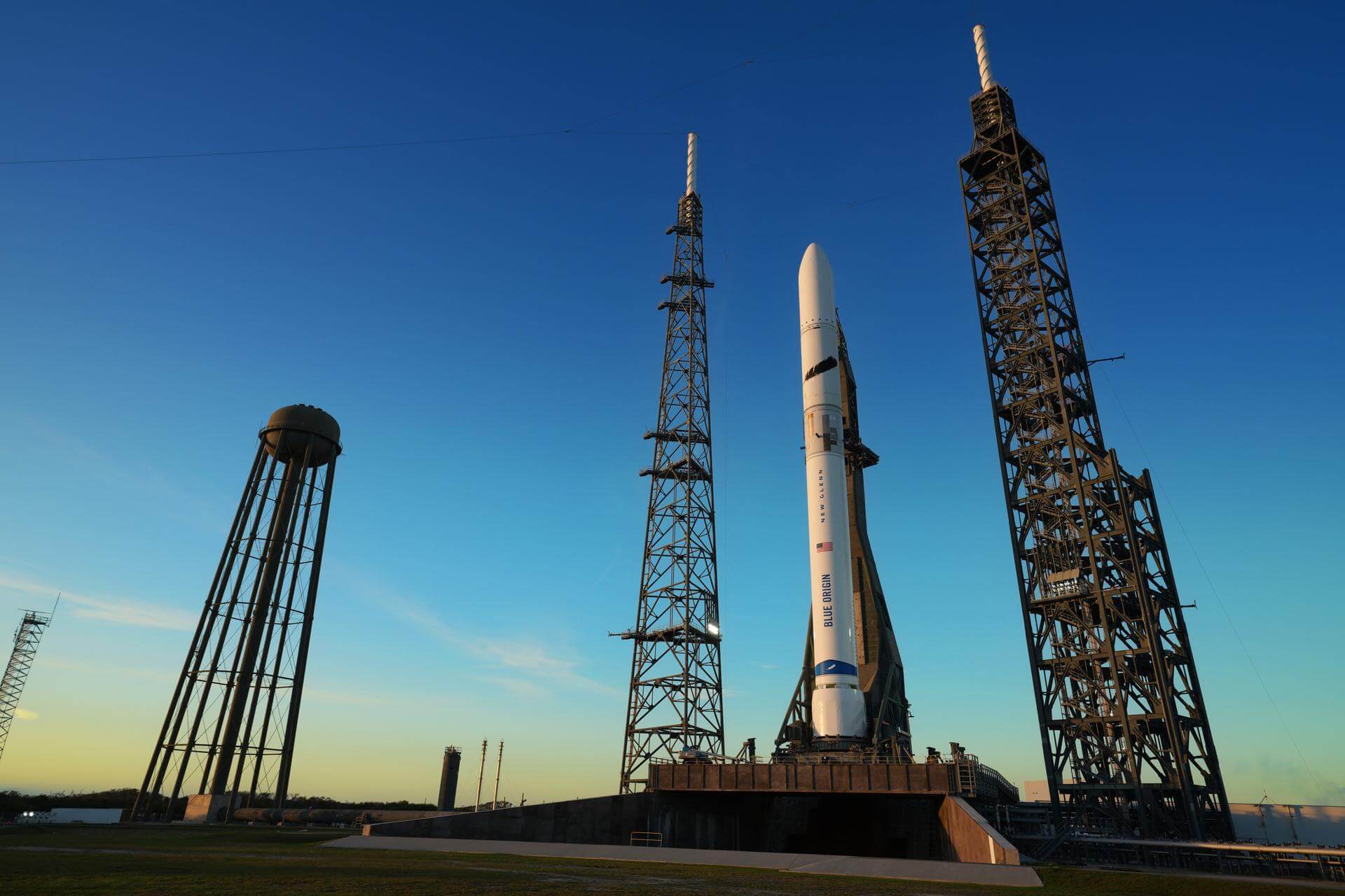
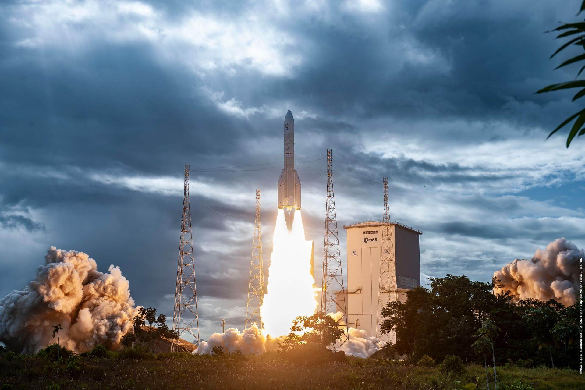
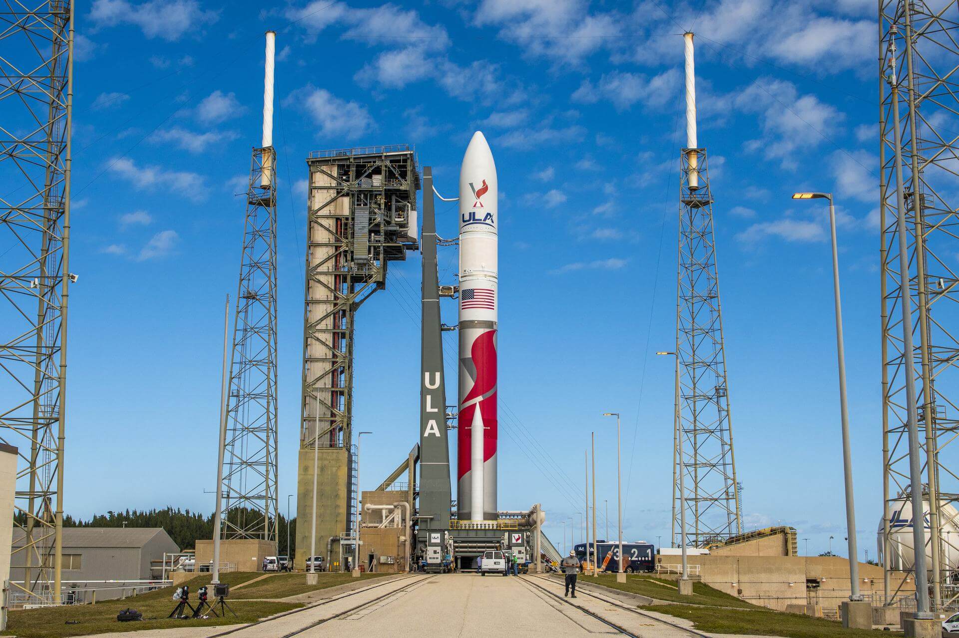
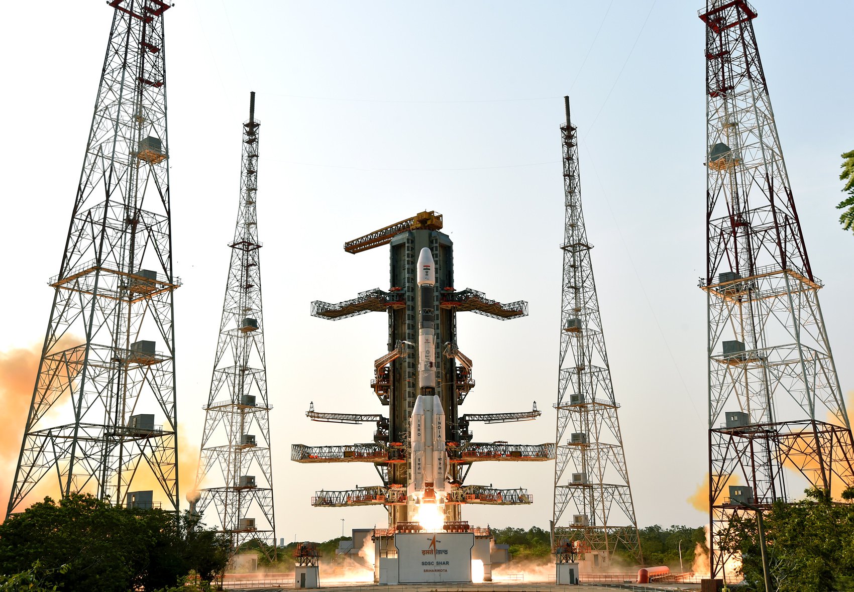
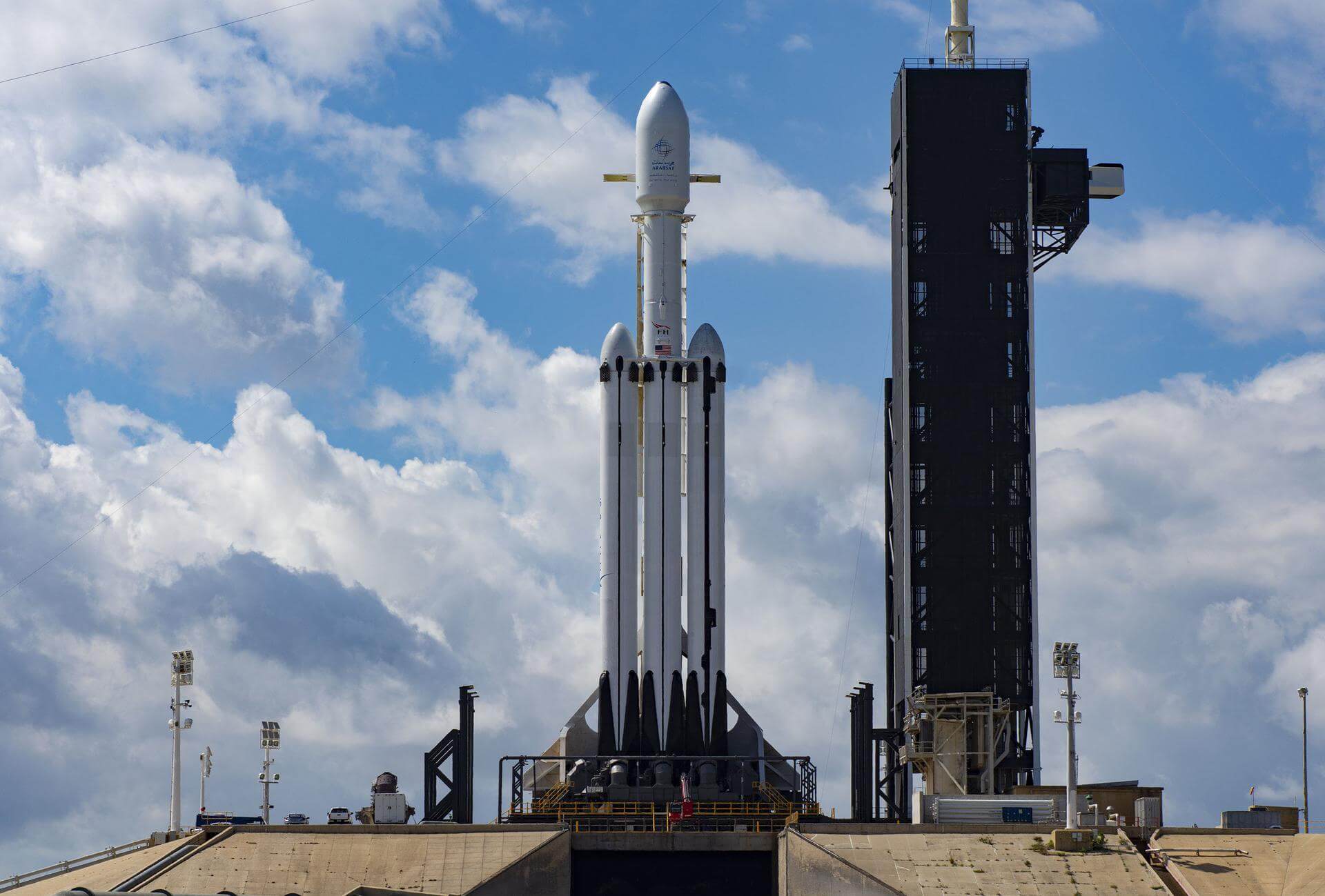
{ "count": 7500, "next": "https://ll.thespacedevs.com/2.2.0/launch/?format=api&limit=10&offset=260&ordering=-net", "previous": "https://ll.thespacedevs.com/2.2.0/launch/?format=api&limit=10&offset=240&ordering=-net", "results": [ { "id": "ca3d56b7-2175-48e4-9a6a-2ecc9996d96b", "url": "https://ll.thespacedevs.com/2.2.0/launch/ca3d56b7-2175-48e4-9a6a-2ecc9996d96b/?format=api", "slug": "new-glenn-project-kuiper-new-glenn-1", "name": "New Glenn | Project Kuiper (New Glenn #1)", "status": { "id": 2, "name": "To Be Determined", "abbrev": "TBD", "description": "Current date is a placeholder or rough estimation based on unreliable or interpreted sources." }, "last_updated": "2024-09-06T19:06:47Z", "net": "2025-12-31T00:00:00Z", "window_end": "2025-12-31T00:00:00Z", "window_start": "2025-12-31T00:00:00Z", "net_precision": null, "probability": null, "weather_concerns": null, "holdreason": "", "failreason": "", "hashtag": null, "launch_service_provider": { "id": 141, "url": "https://ll.thespacedevs.com/2.2.0/agencies/141/?format=api", "name": "Blue Origin", "type": "Commercial" }, "rocket": { "id": 2581, "configuration": { "id": 138, "url": "https://ll.thespacedevs.com/2.2.0/config/launcher/138/?format=api", "name": "New Glenn", "family": "", "full_name": "New Glenn", "variant": "" } }, "mission": { "id": 6001, "name": "Project Kuiper (New Glenn #1)", "description": "Project Kuiper is a mega constellation of satellites in Low Earth Orbit that will offer broadband internet access, this constellation will be managed by Kuiper Systems LLC, a subsidiary of Amazon. This constellation is planned to be composed of 3,276 satellites. The satellites are projected to be placed in 98 orbital planes in three orbital layers, one at 590 km, 610 km and 630 km altitude.\r\n\r\n61 satellites will be carried on each New Glenn launch.", "launch_designator": null, "type": "Communications", "orbit": { "id": 8, "name": "Low Earth Orbit", "abbrev": "LEO" }, "agencies": [], "info_urls": [], "vid_urls": [] }, "pad": { "id": 121, "url": "https://ll.thespacedevs.com/2.2.0/pad/121/?format=api", "agency_id": 161, "name": "Launch Complex 36A", "description": null, "info_url": null, "wiki_url": "https://en.wikipedia.org/wiki/Cape_Canaveral_Launch_Complex_36", "map_url": "https://www.google.com/maps?q=28.4705556,-80.542194", "latitude": "28.4705556", "longitude": "-80.542194", "location": { "id": 12, "url": "https://ll.thespacedevs.com/2.2.0/location/12/?format=api", "name": "Cape Canaveral SFS, FL, USA", "country_code": "USA", "description": "Cape Canaveral Space Force Station (CCSFS) is an installation of the United States Space Force's Space Launch Delta 45, located on Cape Canaveral in Brevard County, Florida.", "map_image": "https://thespacedevs-prod.nyc3.digitaloceanspaces.com/media/map_images/location_12_20200803142519.jpg", "timezone_name": "America/New_York", "total_launch_count": 1023, "total_landing_count": 64 }, "country_code": "USA", "map_image": "https://thespacedevs-prod.nyc3.digitaloceanspaces.com/media/map_images/pad_121_20200803143231.jpg", "total_launch_count": 69, "orbital_launch_attempt_count": 69 }, "webcast_live": false, "image": "https://thespacedevs-prod.nyc3.digitaloceanspaces.com/media/images/new_glenn_on_lc_image_20240313170026.jpeg", "infographic": null, "program": [ { "id": 27, "url": "https://ll.thespacedevs.com/2.2.0/program/27/?format=api", "name": "Project Kuiper", "description": "Amazon's Kuiper Project is a satellite internet initiative aimed at providing high-speed, low-latency broadband connectivity to underserved and remote areas globally. The project involves deploying a constellation of low Earth orbit (LEO) satellites to create a satellite internet network capable of delivering reliable internet access.", "agencies": [ { "id": 1058, "url": "https://ll.thespacedevs.com/2.2.0/agencies/1058/?format=api", "name": "Kuiper Systems LLC", "type": "Private" } ], "image_url": "https://thespacedevs-prod.nyc3.digitaloceanspaces.com/media/images/project2520kui_program_20231228165031.jpeg", "start_date": "2023-10-16T18:06:00Z", "end_date": null, "info_url": "https://en.wikipedia.org/wiki/Kuiper_Systems", "wiki_url": "http://aboutamazon.com/what-we-do/devices-services/project-kuiper", "mission_patches": [], "type": { "id": 3, "name": "Communication Constellation" } } ], "orbital_launch_attempt_count": 7122, "location_launch_attempt_count": 1075, "pad_launch_attempt_count": 73, "agency_launch_attempt_count": 36, "orbital_launch_attempt_count_year": 273, "location_launch_attempt_count_year": 81, "pad_launch_attempt_count_year": 5, "agency_launch_attempt_count_year": 8, "type": "normal" }, { "id": "8e7d57b1-b5c0-4d0d-a575-fe23606bdeee", "url": "https://ll.thespacedevs.com/2.2.0/launch/8e7d57b1-b5c0-4d0d-a575-fe23606bdeee/?format=api", "slug": "ariane-62-2-x-galileo-2", "name": "Ariane 62 | 2 x Galileo", "status": { "id": 2, "name": "To Be Determined", "abbrev": "TBD", "description": "Current date is a placeholder or rough estimation based on unreliable or interpreted sources." }, "last_updated": "2023-12-30T11:07:30Z", "net": "2025-12-31T00:00:00Z", "window_end": "2025-12-31T00:00:00Z", "window_start": "2025-12-31T00:00:00Z", "net_precision": { "id": 14, "name": "Year", "abbrev": "Y", "description": "The T-0 is expected in the given year." }, "probability": null, "weather_concerns": null, "holdreason": "", "failreason": "", "hashtag": null, "launch_service_provider": { "id": 115, "url": "https://ll.thespacedevs.com/2.2.0/agencies/115/?format=api", "name": "Arianespace", "type": "Commercial" }, "rocket": { "id": 7509, "configuration": { "id": 121, "url": "https://ll.thespacedevs.com/2.2.0/config/launcher/121/?format=api", "name": "Ariane 62", "family": "Ariane", "full_name": "Ariane 62", "variant": "62" } }, "mission": { "id": 5918, "name": "2 x Galileo", "description": "Payload consists of two satellites for Europe's Galileo navigation system.", "launch_designator": null, "type": "Navigation", "orbit": { "id": 12, "name": "Medium Earth Orbit", "abbrev": "MEO" }, "agencies": [], "info_urls": [], "vid_urls": [] }, "pad": { "id": 67, "url": "https://ll.thespacedevs.com/2.2.0/pad/67/?format=api", "agency_id": 115, "name": "Ariane Launch Area 4", "description": "ELA-4, is a launch pad and associated facilities at the Centre Spatial Guyanais in French Guiana. The complex is composed of a launch pad with mobile gantry, an horizontal assembly building and a dedicated launch operations building. ELA-4 is operated by Arianespace as part of the Ariane 6 program.", "info_url": null, "wiki_url": "https://en.wikipedia.org/wiki/Guiana_Space_Centre", "map_url": "https://www.google.com/maps?q=5.256319,-52.786838", "latitude": "5.256319", "longitude": "-52.786838", "location": { "id": 13, "url": "https://ll.thespacedevs.com/2.2.0/location/13/?format=api", "name": "Guiana Space Centre, French Guiana", "country_code": "GUF", "description": "The Guiana Space Centre is a European spaceport to the northwest of Kourou in French Guiana, a region of France in South America. Kourou is located at a latitude of 5°. In operation since 1968, it is a suitable location for a spaceport because of its equatorial location and open sea to the east.", "map_image": "https://thespacedevs-prod.nyc3.digitaloceanspaces.com/media/map_images/location_13_20200803142412.jpg", "timezone_name": "America/Cayenne", "total_launch_count": 325, "total_landing_count": 0 }, "country_code": "GUF", "map_image": "https://thespacedevs-prod.nyc3.digitaloceanspaces.com/media/map_images/pad_67_20200803143559.jpg", "total_launch_count": 2, "orbital_launch_attempt_count": 2 }, "webcast_live": false, "image": "https://thespacedevs-prod.nyc3.digitaloceanspaces.com/media/images/ariane_62_lifto_image_20240711132056.jpeg", "infographic": null, "program": [ { "id": 30, "url": "https://ll.thespacedevs.com/2.2.0/program/30/?format=api", "name": "Galileo", "description": "Galileo is a global navigation satellite system (GNSS) that went live in 2016, created by the European Union through the European Space Agency (ESA), operated by the European Union Agency for the Space Programme (EUSPA).", "agencies": [ { "id": 27, "url": "https://ll.thespacedevs.com/2.2.0/agencies/27/?format=api", "name": "European Space Agency", "type": "Multinational" } ], "image_url": "https://thespacedevs-prod.nyc3.digitaloceanspaces.com/media/images/galileo_program_20231230110547.png", "start_date": "2011-10-21T10:30:00Z", "end_date": null, "info_url": "https://www.gsc-europa.eu/", "wiki_url": "https://en.wikipedia.org/wiki/Galileo_(satellite_navigation)", "mission_patches": [], "type": { "id": 4, "name": "Navigation Constellation" } } ], "orbital_launch_attempt_count": 7122, "location_launch_attempt_count": 343, "pad_launch_attempt_count": 12, "agency_launch_attempt_count": 336, "orbital_launch_attempt_count_year": 273, "location_launch_attempt_count_year": 20, "pad_launch_attempt_count_year": 11, "agency_launch_attempt_count_year": 19, "type": "normal" }, { "id": "4b42add0-3da7-4ae7-b830-f8a1aa8dda85", "url": "https://ll.thespacedevs.com/2.2.0/launch/4b42add0-3da7-4ae7-b830-f8a1aa8dda85/?format=api", "slug": "falcon-9-block-5-sda-tranche-1-transport-layer-c", "name": "Falcon 9 Block 5 | SDA Tranche 1 Transport Layer C", "status": { "id": 2, "name": "To Be Determined", "abbrev": "TBD", "description": "Current date is a placeholder or rough estimation based on unreliable or interpreted sources." }, "last_updated": "2023-06-14T09:25:56Z", "net": "2025-12-31T00:00:00Z", "window_end": "2025-12-31T00:00:00Z", "window_start": "2025-12-31T00:00:00Z", "net_precision": { "id": 14, "name": "Year", "abbrev": "Y", "description": "The T-0 is expected in the given year." }, "probability": null, "weather_concerns": null, "holdreason": "", "failreason": "", "hashtag": null, "launch_service_provider": { "id": 121, "url": "https://ll.thespacedevs.com/2.2.0/agencies/121/?format=api", "name": "SpaceX", "type": "Commercial" }, "rocket": { "id": 7893, "configuration": { "id": 164, "url": "https://ll.thespacedevs.com/2.2.0/config/launcher/164/?format=api", "name": "Falcon 9", "family": "Falcon", "full_name": "Falcon 9 Block 5", "variant": "Block 5" } }, "mission": { "id": 6402, "name": "SDA Tranche 1 Transport Layer C", "description": "Classified mission launched by the Space Development Agency (SDA) for Tranche 1 Transport Layer.", "launch_designator": null, "type": "Government/Top Secret", "orbit": { "id": 13, "name": "Polar Orbit", "abbrev": "PO" }, "agencies": [ { "id": 1056, "url": "https://ll.thespacedevs.com/2.2.0/agencies/1056/?format=api", "name": "Space Development Agency", "featured": false, "type": "Government", "country_code": "USA", "abbrev": "SDA", "description": "The Space Development Agency (SDA) is a United States Space Force direct-reporting unit tasked with deploying disruptive space technology. A primary focus is space-based missile defense using large global satellite constellations made up of industry-procured low-cost satellites.", "administrator": "Director: Derek Tournear", "founding_year": "2019", "launchers": "", "spacecraft": "", "launch_library_url": null, "total_launch_count": 0, "consecutive_successful_launches": 0, "successful_launches": 0, "failed_launches": 0, "pending_launches": 0, "consecutive_successful_landings": 0, "successful_landings": 0, "failed_landings": 0, "attempted_landings": 0, "info_url": "https://www.sda.mil/", "wiki_url": "https://en.wikipedia.org/wiki/Space_Development_Agency", "logo_url": "https://thespacedevs-prod.nyc3.digitaloceanspaces.com/media/images/space2520development2520agency_logo_20230806170522.jpg", "image_url": null, "nation_url": null } ], "info_urls": [], "vid_urls": [] }, "pad": { "id": 16, "url": "https://ll.thespacedevs.com/2.2.0/pad/16/?format=api", "agency_id": null, "name": "Space Launch Complex 4E", "description": "Space Launch Complex 4 East (SLC-4E) is a launch site at Vandenberg Space Force Base, California, U.S.\r\n\r\nThe pad was previously used by Atlas and Titan rockets between 1963 and 2005. The pad was built for use by Atlas-Agena rockets, but was later rebuilt to handle Titan rockets.", "info_url": null, "wiki_url": "https://en.wikipedia.org/wiki/Vandenberg_Space_Launch_Complex_4#SLC-4E", "map_url": "https://www.google.com/maps?q=34.632,-120.611", "latitude": "34.632", "longitude": "-120.611", "location": { "id": 11, "url": "https://ll.thespacedevs.com/2.2.0/location/11/?format=api", "name": "Vandenberg SFB, CA, USA", "country_code": "USA", "description": "Vandenberg Space Force Base is a United States Space Force Base in Santa Barbara County, California. Established in 1941, Vandenberg Space Force Base is a space launch base, launching spacecraft from the Western Range, and also performs missile testing. The United States Space Force's Space Launch Delta 30 serves as the host delta for the base, equivalent to an Air Force air base wing. In addition to its military space launch mission, Vandenberg Space Force Base also hosts space launches for civil and commercial space entities, such as NASA and SpaceX.", "map_image": "https://thespacedevs-prod.nyc3.digitaloceanspaces.com/media/map_images/location_11_20200803142416.jpg", "timezone_name": "America/Los_Angeles", "total_launch_count": 806, "total_landing_count": 26 }, "country_code": "USA", "map_image": "https://thespacedevs-prod.nyc3.digitaloceanspaces.com/media/map_images/pad_16_20200803143532.jpg", "total_launch_count": 192, "orbital_launch_attempt_count": 192 }, "webcast_live": false, "image": "https://thespacedevs-prod.nyc3.digitaloceanspaces.com/media/images/falcon_9_image_20230807133459.jpeg", "infographic": null, "program": [], "orbital_launch_attempt_count": 7122, "location_launch_attempt_count": 834, "pad_launch_attempt_count": 213, "agency_launch_attempt_count": 558, "orbital_launch_attempt_count_year": 273, "location_launch_attempt_count_year": 48, "pad_launch_attempt_count_year": 39, "agency_launch_attempt_count_year": 109, "type": "normal" }, { "id": "d40b57ec-e294-4aa2-9822-33eb222105cb", "url": "https://ll.thespacedevs.com/2.2.0/launch/d40b57ec-e294-4aa2-9822-33eb222105cb/?format=api", "slug": "vulcan-ussf-16", "name": "Vulcan | USSF-16", "status": { "id": 2, "name": "To Be Determined", "abbrev": "TBD", "description": "Current date is a placeholder or rough estimation based on unreliable or interpreted sources." }, "last_updated": "2024-02-13T11:32:11Z", "net": "2025-12-31T00:00:00Z", "window_end": "2025-12-31T00:00:00Z", "window_start": "2025-12-31T00:00:00Z", "net_precision": null, "probability": null, "weather_concerns": null, "holdreason": "", "failreason": "", "hashtag": null, "launch_service_provider": { "id": 124, "url": "https://ll.thespacedevs.com/2.2.0/agencies/124/?format=api", "name": "United Launch Alliance", "type": "Commercial" }, "rocket": { "id": 7594, "configuration": { "id": 200, "url": "https://ll.thespacedevs.com/2.2.0/config/launcher/200/?format=api", "name": "Vulcan", "family": "Vulcan", "full_name": "Vulcan", "variant": "Vulcan" } }, "mission": { "id": 6036, "name": "USSF-16", "description": "Classified payload for the US Space Force.", "launch_designator": null, "type": "Government/Top Secret", "orbit": { "id": 25, "name": "Unknown", "abbrev": "N/A" }, "agencies": [ { "id": 1041, "url": "https://ll.thespacedevs.com/2.2.0/agencies/1041/?format=api", "name": "United States Space Force", "featured": false, "type": "Government", "country_code": "USA", "abbrev": "USSF", "description": "The United States Space Force (USSF) is the space service branch of the U.S. Armed Forces, one of the eight U.S. uniformed services.", "administrator": null, "founding_year": "2019", "launchers": "", "spacecraft": "", "launch_library_url": null, "total_launch_count": 0, "consecutive_successful_launches": 0, "successful_launches": 0, "failed_launches": 0, "pending_launches": 0, "consecutive_successful_landings": 0, "successful_landings": 0, "failed_landings": 0, "attempted_landings": 0, "info_url": "https://www.spaceforce.mil/", "wiki_url": "https://en.wikipedia.org/wiki/United_States_Space_Force", "logo_url": "https://thespacedevs-prod.nyc3.digitaloceanspaces.com/media/images/united2520states2520space2520force_logo_20221102113048.png", "image_url": null, "nation_url": null } ], "info_urls": [], "vid_urls": [] }, "pad": { "id": 29, "url": "https://ll.thespacedevs.com/2.2.0/pad/29/?format=api", "agency_id": null, "name": "Space Launch Complex 41", "description": "", "info_url": null, "wiki_url": "https://en.wikipedia.org/wiki/Cape_Canaveral_Air_Force_Station_Space_Launch_Complex_41", "map_url": "https://www.google.com/maps?q=28.58341025,-80.58303644", "latitude": "28.58341025", "longitude": "-80.58303644", "location": { "id": 12, "url": "https://ll.thespacedevs.com/2.2.0/location/12/?format=api", "name": "Cape Canaveral SFS, FL, USA", "country_code": "USA", "description": "Cape Canaveral Space Force Station (CCSFS) is an installation of the United States Space Force's Space Launch Delta 45, located on Cape Canaveral in Brevard County, Florida.", "map_image": "https://thespacedevs-prod.nyc3.digitaloceanspaces.com/media/map_images/location_12_20200803142519.jpg", "timezone_name": "America/New_York", "total_launch_count": 1023, "total_landing_count": 64 }, "country_code": "USA", "map_image": "https://thespacedevs-prod.nyc3.digitaloceanspaces.com/media/map_images/pad_29_20200803143528.jpg", "total_launch_count": 115, "orbital_launch_attempt_count": 115 }, "webcast_live": false, "image": "https://thespacedevs-prod.nyc3.digitaloceanspaces.com/media/images/vulcan_image_20240107162928.jpeg", "infographic": null, "program": [], "orbital_launch_attempt_count": 7122, "location_launch_attempt_count": 1075, "pad_launch_attempt_count": 138, "agency_launch_attempt_count": 191, "orbital_launch_attempt_count_year": 273, "location_launch_attempt_count_year": 81, "pad_launch_attempt_count_year": 24, "agency_launch_attempt_count_year": 27, "type": "normal" }, { "id": "550f778d-6c2d-41fc-b182-6f0cd8feda93", "url": "https://ll.thespacedevs.com/2.2.0/launch/550f778d-6c2d-41fc-b182-6f0cd8feda93/?format=api", "slug": "vulcan-ussf-87", "name": "Vulcan | USSF-87", "status": { "id": 2, "name": "To Be Determined", "abbrev": "TBD", "description": "Current date is a placeholder or rough estimation based on unreliable or interpreted sources." }, "last_updated": "2024-12-19T02:59:05Z", "net": "2025-12-31T00:00:00Z", "window_end": "2025-12-31T00:00:00Z", "window_start": "2025-12-31T00:00:00Z", "net_precision": { "id": 14, "name": "Year", "abbrev": "Y", "description": "The T-0 is expected in the given year." }, "probability": null, "weather_concerns": null, "holdreason": "", "failreason": "", "hashtag": null, "launch_service_provider": { "id": 124, "url": "https://ll.thespacedevs.com/2.2.0/agencies/124/?format=api", "name": "United Launch Alliance", "type": "Commercial" }, "rocket": { "id": 7859, "configuration": { "id": 200, "url": "https://ll.thespacedevs.com/2.2.0/config/launcher/200/?format=api", "name": "Vulcan", "family": "Vulcan", "full_name": "Vulcan", "variant": "Vulcan" } }, "mission": { "id": 6367, "name": "USSF-87", "description": "USSF-87 will launch two identical Geosynchronous Space Situational Awareness Program (GSSAP) satellites GSSAP-7 and GSSAP-8 directly to a near-geosynchronous orbit approximately 36,000 km above the equator.\r\n\r\nData from the GSSAP will uniquely contribute to timely and accurate orbital predictions, further enabling space flight safety including satellite collision avoidance.", "launch_designator": null, "type": "Government/Top Secret", "orbit": { "id": 1, "name": "Geostationary Orbit", "abbrev": "Direct-GEO" }, "agencies": [ { "id": 1041, "url": "https://ll.thespacedevs.com/2.2.0/agencies/1041/?format=api", "name": "United States Space Force", "featured": false, "type": "Government", "country_code": "USA", "abbrev": "USSF", "description": "The United States Space Force (USSF) is the space service branch of the U.S. Armed Forces, one of the eight U.S. uniformed services.", "administrator": null, "founding_year": "2019", "launchers": "", "spacecraft": "", "launch_library_url": null, "total_launch_count": 0, "consecutive_successful_launches": 0, "successful_launches": 0, "failed_launches": 0, "pending_launches": 0, "consecutive_successful_landings": 0, "successful_landings": 0, "failed_landings": 0, "attempted_landings": 0, "info_url": "https://www.spaceforce.mil/", "wiki_url": "https://en.wikipedia.org/wiki/United_States_Space_Force", "logo_url": "https://thespacedevs-prod.nyc3.digitaloceanspaces.com/media/images/united2520states2520space2520force_logo_20221102113048.png", "image_url": null, "nation_url": null } ], "info_urls": [], "vid_urls": [] }, "pad": { "id": 29, "url": "https://ll.thespacedevs.com/2.2.0/pad/29/?format=api", "agency_id": null, "name": "Space Launch Complex 41", "description": "", "info_url": null, "wiki_url": "https://en.wikipedia.org/wiki/Cape_Canaveral_Air_Force_Station_Space_Launch_Complex_41", "map_url": "https://www.google.com/maps?q=28.58341025,-80.58303644", "latitude": "28.58341025", "longitude": "-80.58303644", "location": { "id": 12, "url": "https://ll.thespacedevs.com/2.2.0/location/12/?format=api", "name": "Cape Canaveral SFS, FL, USA", "country_code": "USA", "description": "Cape Canaveral Space Force Station (CCSFS) is an installation of the United States Space Force's Space Launch Delta 45, located on Cape Canaveral in Brevard County, Florida.", "map_image": "https://thespacedevs-prod.nyc3.digitaloceanspaces.com/media/map_images/location_12_20200803142519.jpg", "timezone_name": "America/New_York", "total_launch_count": 1023, "total_landing_count": 64 }, "country_code": "USA", "map_image": "https://thespacedevs-prod.nyc3.digitaloceanspaces.com/media/map_images/pad_29_20200803143528.jpg", "total_launch_count": 115, "orbital_launch_attempt_count": 115 }, "webcast_live": false, "image": "https://thespacedevs-prod.nyc3.digitaloceanspaces.com/media/images/vulcan_image_20240107162928.jpeg", "infographic": null, "program": [], "orbital_launch_attempt_count": 7122, "location_launch_attempt_count": 1075, "pad_launch_attempt_count": 138, "agency_launch_attempt_count": 191, "orbital_launch_attempt_count_year": 273, "location_launch_attempt_count_year": 81, "pad_launch_attempt_count_year": 24, "agency_launch_attempt_count_year": 27, "type": "normal" }, { "id": "c101b9da-2165-4d7b-aa9e-12a965ef8cd2", "url": "https://ll.thespacedevs.com/2.2.0/launch/c101b9da-2165-4d7b-aa9e-12a965ef8cd2/?format=api", "slug": "gslv-idrss-1", "name": "GSLV | IDRSS-1", "status": { "id": 2, "name": "To Be Determined", "abbrev": "TBD", "description": "Current date is a placeholder or rough estimation based on unreliable or interpreted sources." }, "last_updated": "2024-10-14T06:39:05Z", "net": "2025-12-31T00:00:00Z", "window_end": "2025-12-31T00:00:00Z", "window_start": "2025-12-31T00:00:00Z", "net_precision": { "id": 14, "name": "Year", "abbrev": "Y", "description": "The T-0 is expected in the given year." }, "probability": null, "weather_concerns": null, "holdreason": "", "failreason": "", "hashtag": null, "launch_service_provider": { "id": 31, "url": "https://ll.thespacedevs.com/2.2.0/agencies/31/?format=api", "name": "Indian Space Research Organization", "type": "Government" }, "rocket": { "id": 2616, "configuration": { "id": 168, "url": "https://ll.thespacedevs.com/2.2.0/config/launcher/168/?format=api", "name": "GSLV Mk II", "family": "GSLV", "full_name": "GSLV Mk. II", "variant": "" } }, "mission": null, "pad": { "id": 82, "url": "https://ll.thespacedevs.com/2.2.0/pad/82/?format=api", "agency_id": 31, "name": "Satish Dhawan Space Centre Second Launch Pad", "description": "The second launch pad was built between 1999 and 2003. It became functional in 2005 and has since been used for various rockets. This launch pad supports missions by PSLV, GSLV, LVM3 rockets and is even envisioned for India's future crewed spaceflight.", "info_url": null, "wiki_url": "https://en.wikipedia.org/wiki/Satish_Dhawan_Space_Centre_Second_Launch_Pad", "map_url": "https://www.google.com/maps?q=13.7199,80.2304", "latitude": "13.7199", "longitude": "80.2304", "location": { "id": 14, "url": "https://ll.thespacedevs.com/2.2.0/location/14/?format=api", "name": "Satish Dhawan Space Centre, India", "country_code": "IND", "description": "Satish Dhawan Space Centre – SDSC (formerly Sriharikota Range – SHAR),[1] is the primary spaceport of the Indian Space Research Organisation (ISRO), located in Sriharikota, Andhra Pradesh.", "map_image": "https://thespacedevs-prod.nyc3.digitaloceanspaces.com/media/map_images/location_14_20200803142403.jpg", "timezone_name": "Asia/Kolkata", "total_launch_count": 98, "total_landing_count": 0 }, "country_code": "IND", "map_image": "https://thespacedevs-prod.nyc3.digitaloceanspaces.com/media/map_images/pad_82_20200803143602.jpg", "total_launch_count": 29, "orbital_launch_attempt_count": 28 }, "webcast_live": false, "image": "https://thespacedevs-prod.nyc3.digitaloceanspaces.com/media/images/gslv2520mk2520ii_image_20190825171642.jpg", "infographic": null, "program": [], "orbital_launch_attempt_count": 7122, "location_launch_attempt_count": 110, "pad_launch_attempt_count": 36, "agency_launch_attempt_count": 106, "orbital_launch_attempt_count_year": 7122, "location_launch_attempt_count_year": 13, "pad_launch_attempt_count_year": 8, "agency_launch_attempt_count_year": 13, "type": "normal" }, { "id": "d3bd7fb2-fac6-49fc-ae52-cee07d2fde67", "url": "https://ll.thespacedevs.com/2.2.0/launch/d3bd7fb2-fac6-49fc-ae52-cee07d2fde67/?format=api", "slug": "falcon-heavy-griffin-mission-one", "name": "Falcon Heavy | Griffin Mission One", "status": { "id": 2, "name": "To Be Determined", "abbrev": "TBD", "description": "Current date is a placeholder or rough estimation based on unreliable or interpreted sources." }, "last_updated": "2025-02-06T06:00:03Z", "net": "2025-12-31T00:00:00Z", "window_end": "2025-12-31T00:00:00Z", "window_start": "2025-12-31T00:00:00Z", "net_precision": { "id": 7, "name": "Month", "abbrev": "M", "description": "The T-0 is expected in the given month." }, "probability": null, "weather_concerns": null, "holdreason": "", "failreason": "", "hashtag": null, "launch_service_provider": { "id": 121, "url": "https://ll.thespacedevs.com/2.2.0/agencies/121/?format=api", "name": "SpaceX", "type": "Commercial" }, "rocket": { "id": 2853, "configuration": { "id": 161, "url": "https://ll.thespacedevs.com/2.2.0/config/launcher/161/?format=api", "name": "Falcon Heavy", "family": "Falcon", "full_name": "Falcon Heavy", "variant": "Heavy" } }, "mission": { "id": 1267, "name": "Griffin Mission One", "description": "Demonstration flight of the Astrobotic Griffin lander and its engines, initially contracted for the cancelled NASA VIPER (Volatiles Investigating Polar Exploration Rover) mission. The vacated payload spot will now host the FLIP (FLEX Lunar Innovation Platform) lunar rover from Astrolab.", "launch_designator": null, "type": "Lunar Exploration", "orbit": { "id": 11, "name": "Lunar Orbit", "abbrev": "LO" }, "agencies": [ { "id": 1069, "url": "https://ll.thespacedevs.com/2.2.0/agencies/1069/?format=api", "name": "Astrobotic Technology", "featured": false, "type": "Private", "country_code": "USA", "abbrev": "Astrobotic", "description": "Astrobotic Technology is an American private company that is developing space robotics technology for lunar and planetary missions.", "administrator": "CEO: John Thornton", "founding_year": "2007", "launchers": "", "spacecraft": "Peregrine", "launch_library_url": null, "total_launch_count": 0, "consecutive_successful_launches": 0, "successful_launches": 0, "failed_launches": 0, "pending_launches": 0, "consecutive_successful_landings": 0, "successful_landings": 0, "failed_landings": 0, "attempted_landings": 0, "info_url": "https://www.astrobotic.com/", "wiki_url": "https://en.wikipedia.org/wiki/Astrobotic_Technology", "logo_url": "https://thespacedevs-prod.nyc3.digitaloceanspaces.com/media/images/astrobotic2520technology_logo_20230820172908.png", "image_url": null, "nation_url": "https://thespacedevs-prod.nyc3.digitaloceanspaces.com/media/images/astrobotic2520technology_nation_20230820172908.jpg" } ], "info_urls": [], "vid_urls": [] }, "pad": { "id": 87, "url": "https://ll.thespacedevs.com/2.2.0/pad/87/?format=api", "agency_id": 121, "name": "Launch Complex 39A", "description": "", "info_url": null, "wiki_url": "https://en.wikipedia.org/wiki/Kennedy_Space_Center_Launch_Complex_39#Launch_Pad_39A", "map_url": "https://www.google.com/maps?q=28.60822681,-80.60428186", "latitude": "28.60822681", "longitude": "-80.60428186", "location": { "id": 27, "url": "https://ll.thespacedevs.com/2.2.0/location/27/?format=api", "name": "Kennedy Space Center, FL, USA", "country_code": "USA", "description": "The John F. Kennedy Space Center, located on Merritt Island, Florida, is one of NASA's ten field centers. Since 1968, KSC has been NASA's primary launch center of American spaceflight, research, and technology. Launch operations for the Apollo, Skylab and Space Shuttle programs were carried out from Kennedy Space Center Launch Complex 39 and managed by KSC. Located on the east coast of Florida, KSC is adjacent to Cape Canaveral Space Force Station (CCSFS).", "map_image": "https://thespacedevs-prod.nyc3.digitaloceanspaces.com/media/map_images/location_27_20200803142447.jpg", "timezone_name": "America/New_York", "total_launch_count": 265, "total_landing_count": 0 }, "country_code": "USA", "map_image": "https://thespacedevs-prod.nyc3.digitaloceanspaces.com/media/map_images/pad_87_20200803143537.jpg", "total_launch_count": 207, "orbital_launch_attempt_count": 206 }, "webcast_live": false, "image": "https://thespacedevs-prod.nyc3.digitaloceanspaces.com/media/images/falcon_heavy_image_20220129192819.jpeg", "infographic": null, "program": [], "orbital_launch_attempt_count": 7122, "location_launch_attempt_count": 269, "pad_launch_attempt_count": 211, "agency_launch_attempt_count": 558, "orbital_launch_attempt_count_year": 273, "location_launch_attempt_count_year": 17, "pad_launch_attempt_count_year": 17, "agency_launch_attempt_count_year": 109, "type": "normal" }, { "id": "7766f3bb-674c-4c71-b986-963bd633fcfe", "url": "https://ll.thespacedevs.com/2.2.0/launch/7766f3bb-674c-4c71-b986-963bd633fcfe/?format=api", "slug": "electron-6x-hawkeye-360-2", "name": "Electron | 6x HawkEye 360", "status": { "id": 2, "name": "To Be Determined", "abbrev": "TBD", "description": "Current date is a placeholder or rough estimation based on unreliable or interpreted sources." }, "last_updated": "2024-06-06T03:25:30Z", "net": "2025-12-31T00:00:00Z", "window_end": "2025-12-31T00:00:00Z", "window_start": "2025-12-31T00:00:00Z", "net_precision": { "id": 14, "name": "Year", "abbrev": "Y", "description": "The T-0 is expected in the given year." }, "probability": null, "weather_concerns": null, "holdreason": "", "failreason": "", "hashtag": null, "launch_service_provider": { "id": 147, "url": "https://ll.thespacedevs.com/2.2.0/agencies/147/?format=api", "name": "Rocket Lab", "type": "Commercial" }, "rocket": { "id": 7567, "configuration": { "id": 26, "url": "https://ll.thespacedevs.com/2.2.0/config/launcher/26/?format=api", "name": "Electron", "family": "", "full_name": "Electron", "variant": "" } }, "mission": { "id": 6792, "name": "6x HawkEye 360", "description": "HawkEye 360 is a a space-based civil global intelligence satellite network using radio frequency (RF) technology to help monitor transportation across air, land and sea and assist with emergencies, and to provide civil SIGINT (Signal Intelligence) mission.\r\n\r\nThe constellation of small satellites (named Hawk ) will collect information on specific radio signals worldwide to provide high-precision radio frequency mapping and analytics from Low Earth orbit (LEO).", "launch_designator": null, "type": "Earth Science", "orbit": { "id": 8, "name": "Low Earth Orbit", "abbrev": "LEO" }, "agencies": [ { "id": 1061, "url": "https://ll.thespacedevs.com/2.2.0/agencies/1061/?format=api", "name": "HawkEye 360", "featured": false, "type": "Private", "country_code": "USA", "abbrev": "he360", "description": "HawkEye 360 is an American geospatial analytics company headquartered in Herndon, Virginia. It is a commercial seller of radio frequency signal location data gathered by a satellite constellation.", "administrator": "CEO: John Serafini", "founding_year": "2015", "launchers": "", "spacecraft": "HawkEye 360", "launch_library_url": null, "total_launch_count": 0, "consecutive_successful_launches": 0, "successful_launches": 0, "failed_launches": 0, "pending_launches": 0, "consecutive_successful_landings": 0, "successful_landings": 0, "failed_landings": 0, "attempted_landings": 0, "info_url": "https://www.he360.com/", "wiki_url": "https://en.wikipedia.org/wiki/HawkEye_360", "logo_url": "https://thespacedevs-prod.nyc3.digitaloceanspaces.com/media/images/hawkeye2520360_logo_20230807090248.png", "image_url": null, "nation_url": "https://thespacedevs-prod.nyc3.digitaloceanspaces.com/media/images/hawkeye2520360_nation_20230807090249.jpg" } ], "info_urls": [], "vid_urls": [] }, "pad": { "id": 79, "url": "https://ll.thespacedevs.com/2.2.0/pad/79/?format=api", "agency_id": 147, "name": "Rocket Lab Launch Complex 2 (Launch Area 0 C)", "description": "", "info_url": null, "wiki_url": null, "map_url": "https://www.google.com/maps?q=37.833262,-75.488235", "latitude": "37.833262", "longitude": "-75.488235", "location": { "id": 21, "url": "https://ll.thespacedevs.com/2.2.0/location/21/?format=api", "name": "Wallops Flight Facility, Virginia, USA", "country_code": "USA", "description": "Wallops Flight Facility is a rocket launch site on Wallops Island on the Eastern Shore of Virginia, United States, just east of the Delmarva Peninsula and north-northeast of Norfolk. The facility is operated by the Goddard Space Flight Center in Greenbelt, Maryland, and primarily serves to support science and exploration missions for NASA and other federal agencies. WFF includes an extensively instrumented range to support launches of more than a dozen types of sounding rockets; small expendable suborbital and orbital rockets; high-altitude balloon flights carrying scientific instruments for atmospheric and astronomical research; and, using its Research Airport, flight tests of aeronautical research aircraft, including uncrewed aerial vehicles.", "map_image": "https://thespacedevs-prod.nyc3.digitaloceanspaces.com/media/map_images/location_21_20200803142423.jpg", "timezone_name": "America/New_York", "total_launch_count": 80, "total_landing_count": 0 }, "country_code": "USA", "map_image": "https://thespacedevs-prod.nyc3.digitaloceanspaces.com/media/map_images/pad_79_20200803143607.jpg", "total_launch_count": 6, "orbital_launch_attempt_count": 3 }, "webcast_live": false, "image": "https://thespacedevs-prod.nyc3.digitaloceanspaces.com/media/images/electron_image_20190705175640.jpeg", "infographic": null, "program": [], "orbital_launch_attempt_count": 7122, "location_launch_attempt_count": 89, "pad_launch_attempt_count": 13, "agency_launch_attempt_count": 86, "orbital_launch_attempt_count_year": 273, "location_launch_attempt_count_year": 9, "pad_launch_attempt_count_year": 7, "agency_launch_attempt_count_year": 28, "type": "normal" }, { "id": "5c133377-be3c-41f1-ac6a-c24668d78bc3", "url": "https://ll.thespacedevs.com/2.2.0/launch/5c133377-be3c-41f1-ac6a-c24668d78bc3/?format=api", "slug": "long-march-7-tianzhou-9", "name": "Long March 7 | Tianzhou-9", "status": { "id": 2, "name": "To Be Determined", "abbrev": "TBD", "description": "Current date is a placeholder or rough estimation based on unreliable or interpreted sources." }, "last_updated": "2025-03-22T04:00:05Z", "net": "2025-12-31T00:00:00Z", "window_end": "2025-12-31T00:00:00Z", "window_start": "2025-12-31T00:00:00Z", "net_precision": { "id": 14, "name": "Year", "abbrev": "Y", "description": "The T-0 is expected in the given year." }, "probability": null, "weather_concerns": null, "holdreason": "", "failreason": "", "hashtag": null, "launch_service_provider": { "id": 88, "url": "https://ll.thespacedevs.com/2.2.0/agencies/88/?format=api", "name": "China Aerospace Science and Technology Corporation", "type": "Government" }, "rocket": { "id": 8560, "configuration": { "id": 100, "url": "https://ll.thespacedevs.com/2.2.0/config/launcher/100/?format=api", "name": "Long March 7", "family": "Long March", "full_name": "Long March 7", "variant": "" } }, "mission": { "id": 7151, "name": "Tianzhou-9", "description": "Eighth cargo delivery mission to the Chinese space station.", "launch_designator": null, "type": "Resupply", "orbit": { "id": 8, "name": "Low Earth Orbit", "abbrev": "LEO" }, "agencies": [], "info_urls": [], "vid_urls": [] }, "pad": { "id": 176, "url": "https://ll.thespacedevs.com/2.2.0/pad/176/?format=api", "agency_id": null, "name": "201", "description": "", "info_url": null, "wiki_url": "https://en.wikipedia.org/wiki/Wenchang_Spacecraft_Launch_Site", "map_url": "https://www.google.com/maps?q=19.618452,110.955356", "latitude": "19.618452", "longitude": "110.955356", "location": { "id": 8, "url": "https://ll.thespacedevs.com/2.2.0/location/8/?format=api", "name": "Wenchang Space Launch Site, People's Republic of China", "country_code": "CHN", "description": "The Wenchang Space Launch Site is a rocket launch site located in Wenchang on the island of Hainan, in China.\r\n\r\nFormally a suborbital test center, it currently serves as China's southernmost spaceport. The site was selected for its low latitude, 19° north of the equator, allowing for larger payloads to be launched. It is capable of launching the Long March 5, the heaviest Chinese rocket. Unlike launch facilities on the mainland, Wenchang uses its seaport for deliveries.", "map_image": "https://thespacedevs-prod.nyc3.digitaloceanspaces.com/media/map_images/location_8_20200803142445.jpg", "timezone_name": "Asia/Shanghai", "total_launch_count": 38, "total_landing_count": 0 }, "country_code": "CHN", "map_image": "https://thespacedevs-prod.nyc3.digitaloceanspaces.com/media/map_images/pad_176_20200803143412.jpg", "total_launch_count": 22, "orbital_launch_attempt_count": 22 }, "webcast_live": false, "image": "https://thespacedevs-prod.nyc3.digitaloceanspaces.com/media/images/long_march_7_image_20210513083007.jpeg", "infographic": null, "program": [ { "id": 19, "url": "https://ll.thespacedevs.com/2.2.0/program/19/?format=api", "name": "Tiangong space station", "description": "The Tiangong space station is a space station placed in Low Earth orbit between 340 and 450 km above the surface.", "agencies": [ { "id": 88, "url": "https://ll.thespacedevs.com/2.2.0/agencies/88/?format=api", "name": "China Aerospace Science and Technology Corporation", "type": "Government" } ], "image_url": "https://thespacedevs-prod.nyc3.digitaloceanspaces.com/media/images/chinese2520spa_program_20210608105528.png", "start_date": "2021-04-29T03:23:00Z", "end_date": null, "info_url": null, "wiki_url": "https://en.wikipedia.org/wiki/Tiangong_space_station", "mission_patches": [], "type": { "id": 2, "name": "Human Spaceflight" } } ], "orbital_launch_attempt_count": 7122, "location_launch_attempt_count": 41, "pad_launch_attempt_count": 23, "agency_launch_attempt_count": 529, "orbital_launch_attempt_count_year": 273, "location_launch_attempt_count_year": 7, "pad_launch_attempt_count_year": 3, "agency_launch_attempt_count_year": 28, "type": "normal" }, { "id": "9d90b9bc-9c62-4618-8514-6f835b4a2030", "url": "https://ll.thespacedevs.com/2.2.0/launch/9d90b9bc-9c62-4618-8514-6f835b4a2030/?format=api", "slug": "atlas-v-551-project-kuiper-ka-02", "name": "Atlas V 551 | Project Kuiper (KA-02)", "status": { "id": 2, "name": "To Be Determined", "abbrev": "TBD", "description": "Current date is a placeholder or rough estimation based on unreliable or interpreted sources." }, "last_updated": "2025-04-02T17:42:08Z", "net": "2025-12-31T00:00:00Z", "window_end": "2025-12-31T00:00:00Z", "window_start": "2025-12-31T00:00:00Z", "net_precision": { "id": 14, "name": "Year", "abbrev": "Y", "description": "The T-0 is expected in the given year." }, "probability": null, "weather_concerns": null, "holdreason": "", "failreason": "", "hashtag": null, "launch_service_provider": { "id": 124, "url": "https://ll.thespacedevs.com/2.2.0/agencies/124/?format=api", "name": "United Launch Alliance", "type": "Commercial" }, "rocket": { "id": 143, "configuration": { "id": 27, "url": "https://ll.thespacedevs.com/2.2.0/config/launcher/27/?format=api", "name": "Atlas V 551", "family": "Atlas", "full_name": "Atlas V 551", "variant": "551" } }, "mission": { "id": 5994, "name": "Project Kuiper (KA-02)", "description": "Project Kuiper is a mega constellation of satellites in Low Earth Orbit that will offer broadband internet access, this constellation will be managed by Kuiper Systems LLC, a subsidiary of Amazon. This constellation is planned to be composed of 3,276 satellites. The satellites are projected to be placed in 98 orbital planes in three orbital layers, one at 590 km, 610 km and 630 km altitude.", "launch_designator": null, "type": "Communications", "orbit": { "id": 8, "name": "Low Earth Orbit", "abbrev": "LEO" }, "agencies": [], "info_urls": [], "vid_urls": [] }, "pad": { "id": 29, "url": "https://ll.thespacedevs.com/2.2.0/pad/29/?format=api", "agency_id": null, "name": "Space Launch Complex 41", "description": "", "info_url": null, "wiki_url": "https://en.wikipedia.org/wiki/Cape_Canaveral_Air_Force_Station_Space_Launch_Complex_41", "map_url": "https://www.google.com/maps?q=28.58341025,-80.58303644", "latitude": "28.58341025", "longitude": "-80.58303644", "location": { "id": 12, "url": "https://ll.thespacedevs.com/2.2.0/location/12/?format=api", "name": "Cape Canaveral SFS, FL, USA", "country_code": "USA", "description": "Cape Canaveral Space Force Station (CCSFS) is an installation of the United States Space Force's Space Launch Delta 45, located on Cape Canaveral in Brevard County, Florida.", "map_image": "https://thespacedevs-prod.nyc3.digitaloceanspaces.com/media/map_images/location_12_20200803142519.jpg", "timezone_name": "America/New_York", "total_launch_count": 1023, "total_landing_count": 64 }, "country_code": "USA", "map_image": "https://thespacedevs-prod.nyc3.digitaloceanspaces.com/media/map_images/pad_29_20200803143528.jpg", "total_launch_count": 115, "orbital_launch_attempt_count": 115 }, "webcast_live": false, "image": "https://thespacedevs-prod.nyc3.digitaloceanspaces.com/media/images/atlas2520v2520551_image_20190224012316.jpeg", "infographic": null, "program": [ { "id": 27, "url": "https://ll.thespacedevs.com/2.2.0/program/27/?format=api", "name": "Project Kuiper", "description": "Amazon's Kuiper Project is a satellite internet initiative aimed at providing high-speed, low-latency broadband connectivity to underserved and remote areas globally. The project involves deploying a constellation of low Earth orbit (LEO) satellites to create a satellite internet network capable of delivering reliable internet access.", "agencies": [ { "id": 1058, "url": "https://ll.thespacedevs.com/2.2.0/agencies/1058/?format=api", "name": "Kuiper Systems LLC", "type": "Private" } ], "image_url": "https://thespacedevs-prod.nyc3.digitaloceanspaces.com/media/images/project2520kui_program_20231228165031.jpeg", "start_date": "2023-10-16T18:06:00Z", "end_date": null, "info_url": "https://en.wikipedia.org/wiki/Kuiper_Systems", "wiki_url": "http://aboutamazon.com/what-we-do/devices-services/project-kuiper", "mission_patches": [], "type": { "id": 3, "name": "Communication Constellation" } } ], "orbital_launch_attempt_count": 7122, "location_launch_attempt_count": 1075, "pad_launch_attempt_count": 138, "agency_launch_attempt_count": 191, "orbital_launch_attempt_count_year": 273, "location_launch_attempt_count_year": 81, "pad_launch_attempt_count_year": 24, "agency_launch_attempt_count_year": 27, "type": "normal" } ] }