Launch List
AN API endpoint that returns all Launch objects or a single launch.
EXAMPLE - /launch/[id]/ or /launch/?mode=list&search=SpaceX
GET Return a list of all Launch objects.
FILTERS Fields - 'name', 'id(s)', 'lsp__id', 'lsp__name', 'serial_number', 'launcher_config__id', 'rocket__spacecraftflight__spacecraft__name', 'is_crewed', 'include_suborbital', 'spacecraft_config__ids', 'related', 'location__ids', 'lsp__ids', 'pad__ids', 'status__ids'
MODE 'normal', 'list', 'detailed'
EXAMPLE ?mode=list
SEARCH Searches through the launch name, rocket name, launch agency, mission name & spacecraft name.
EXAMPLE - ?search=SpaceX
GET /2.2.0/launch/?format=api&offset=160&ordering=-net
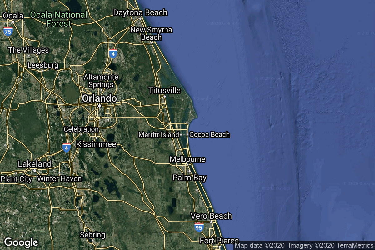
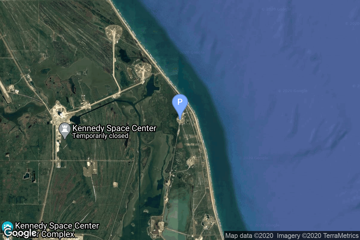
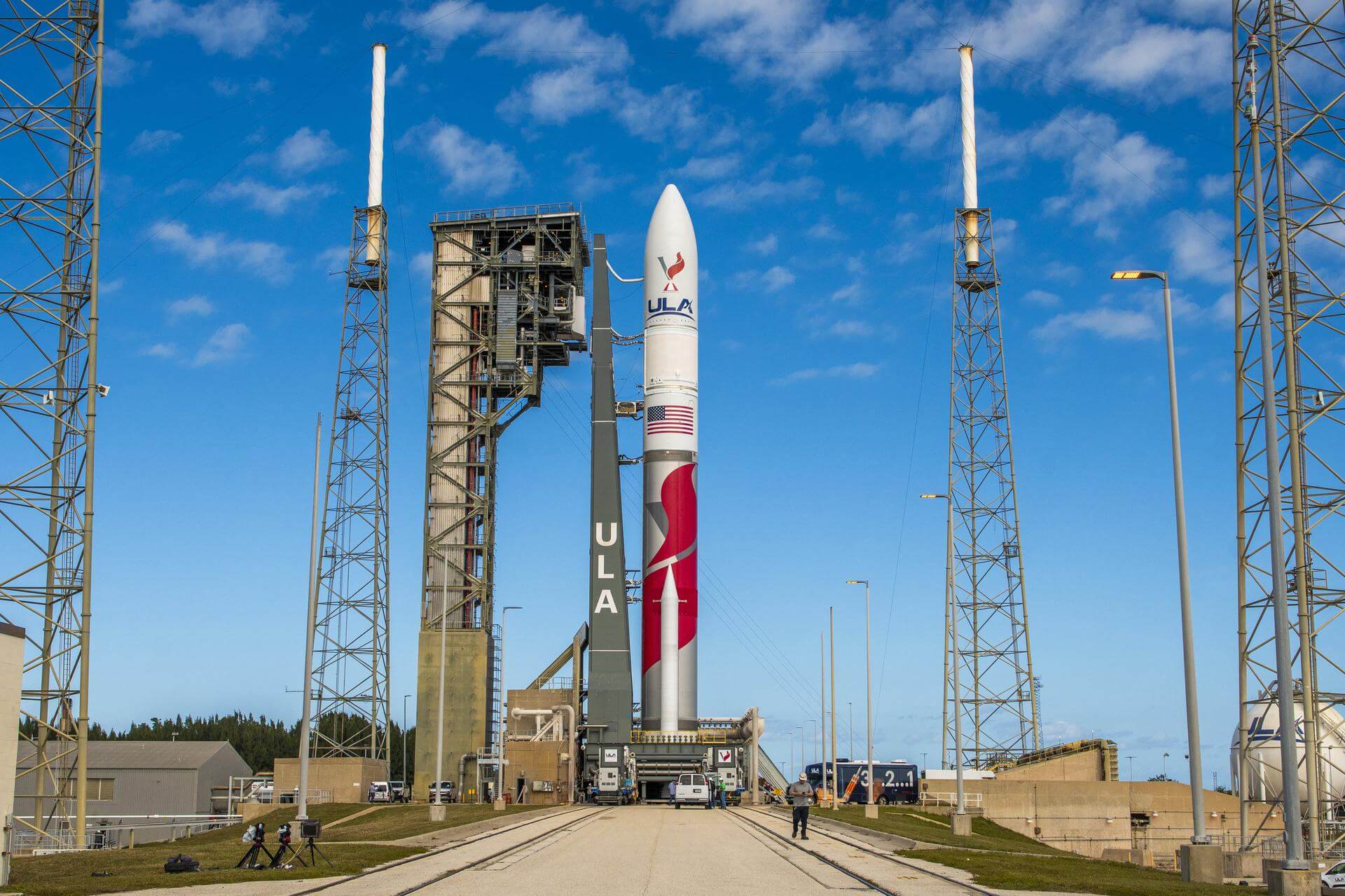
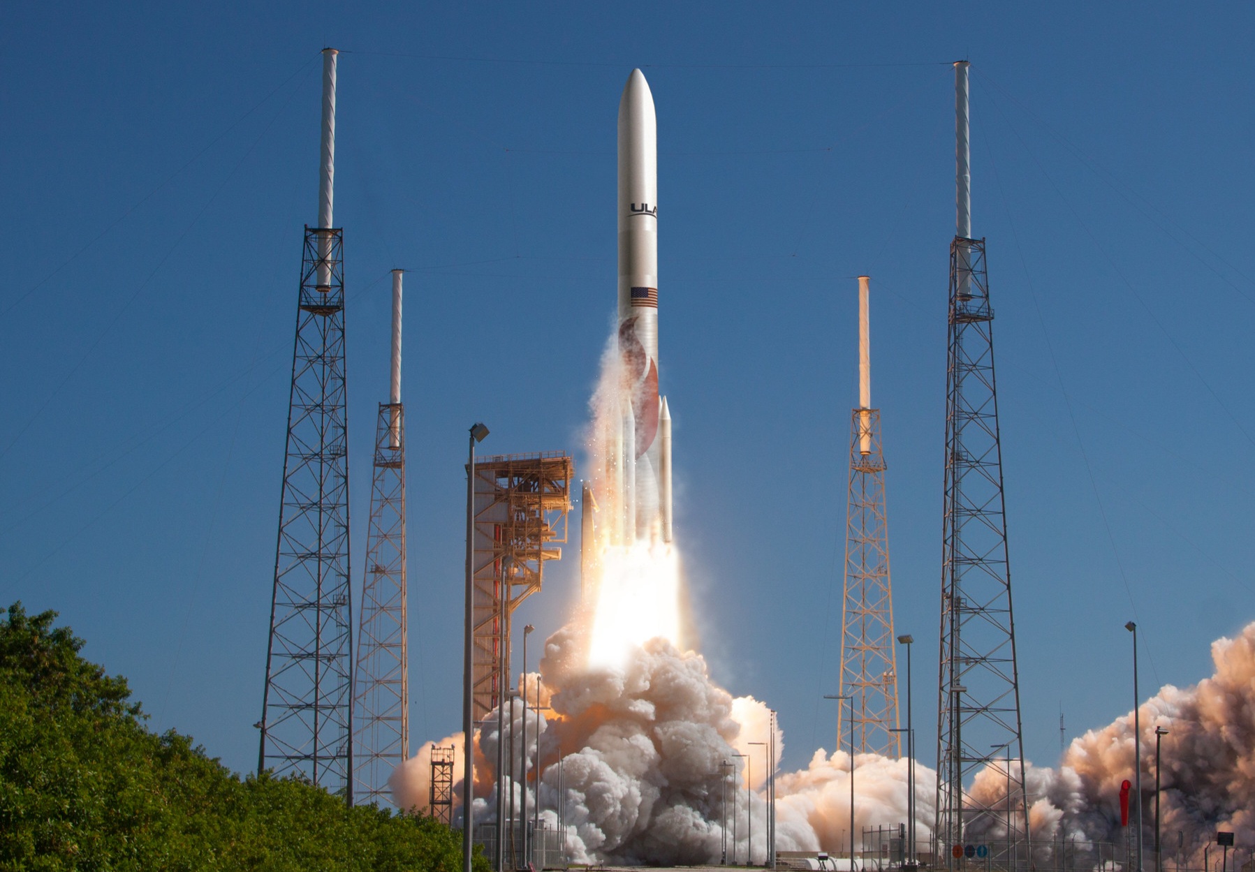
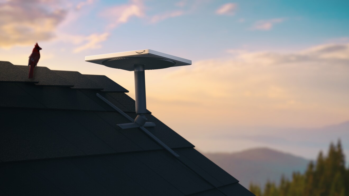
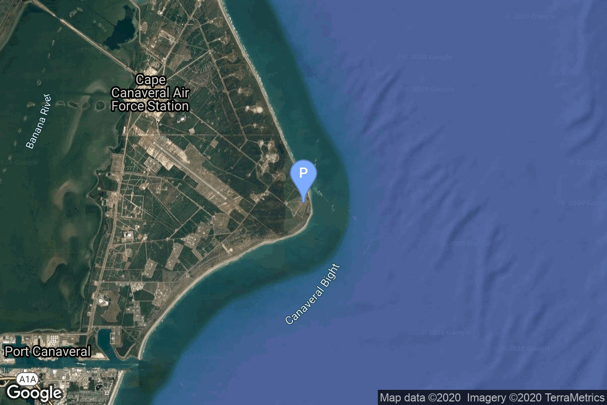
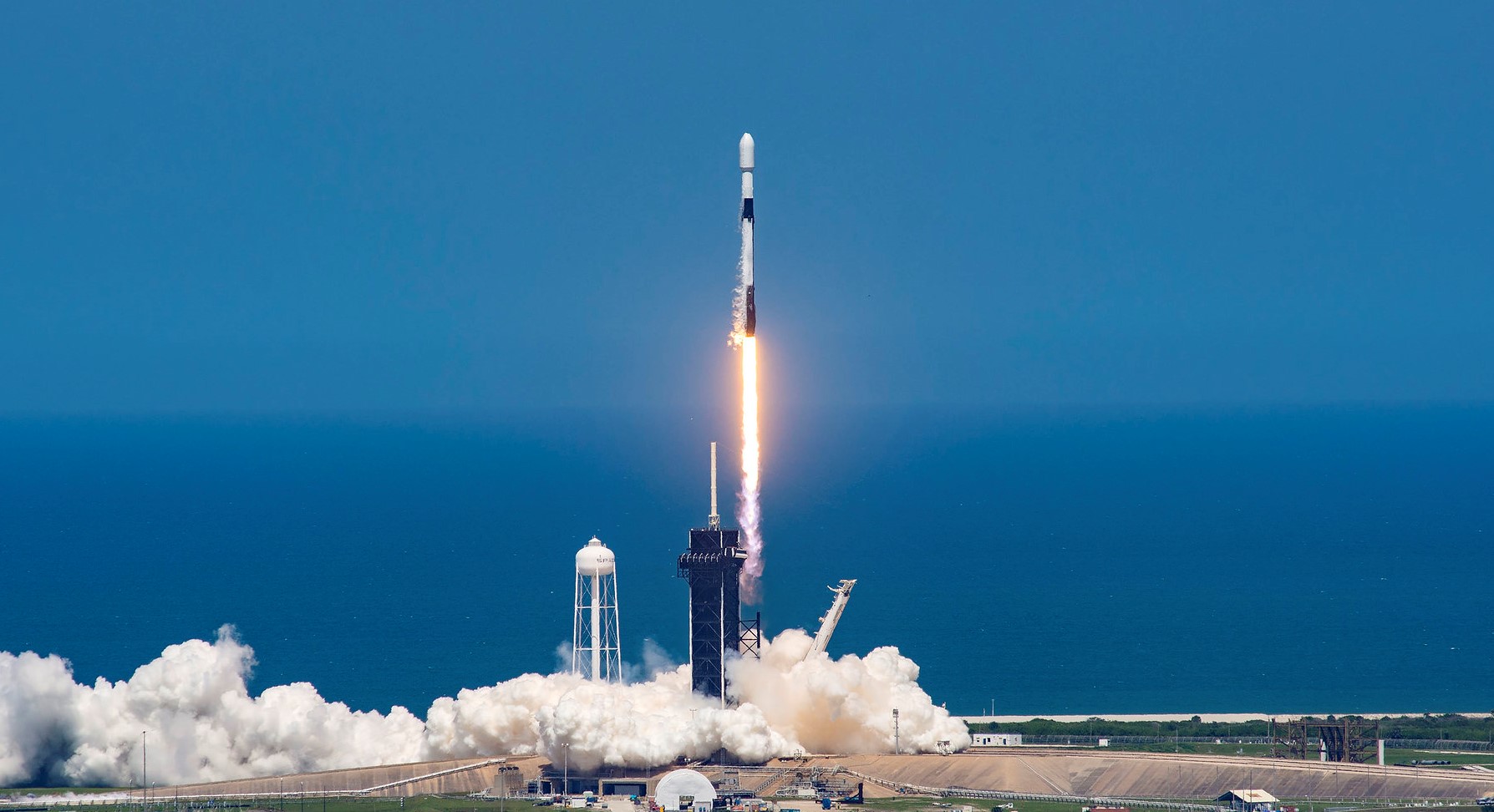
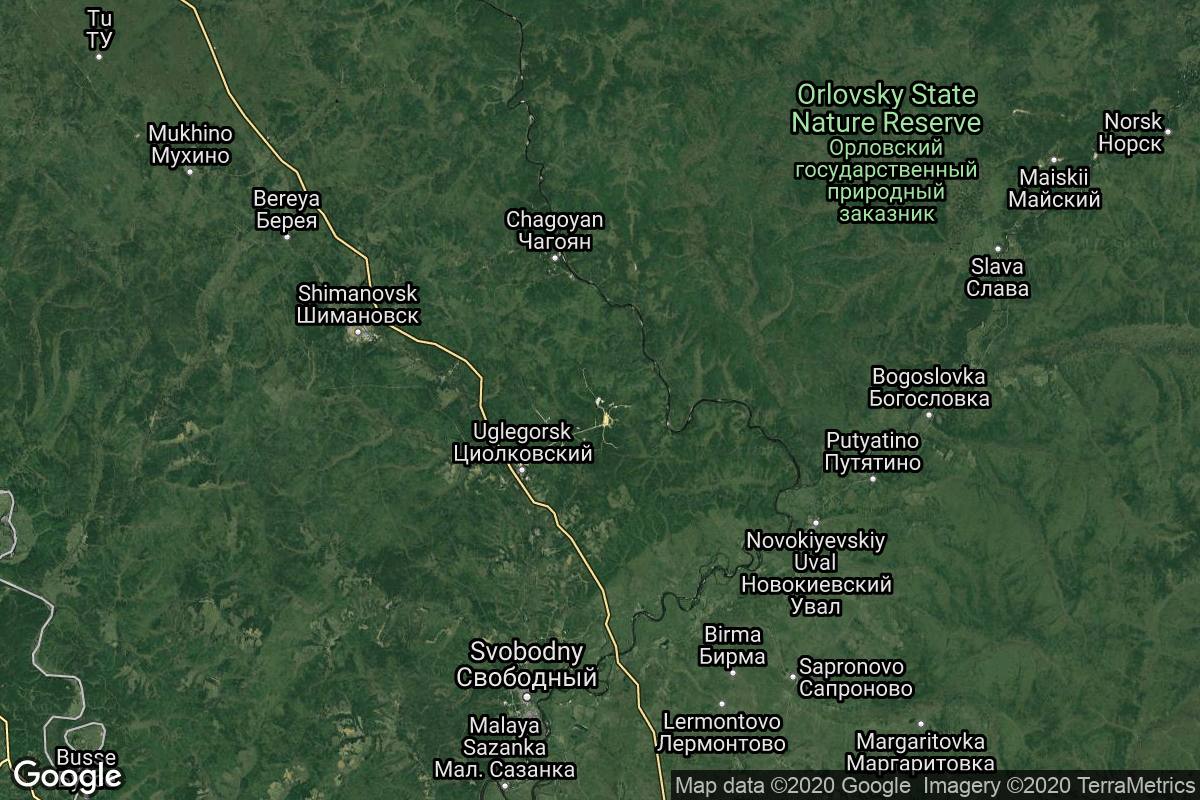
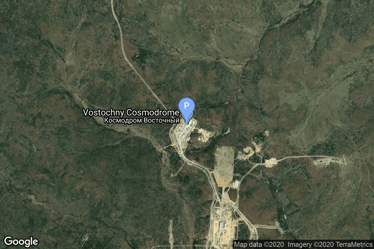
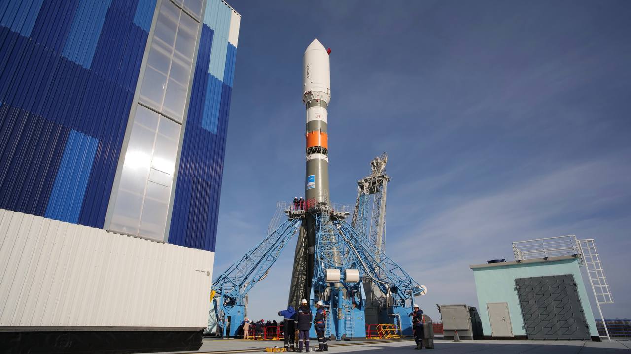
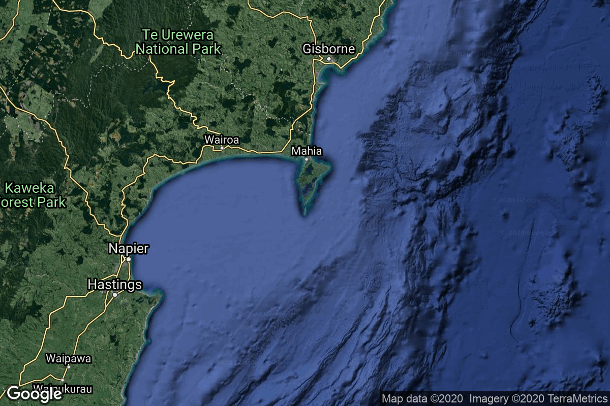
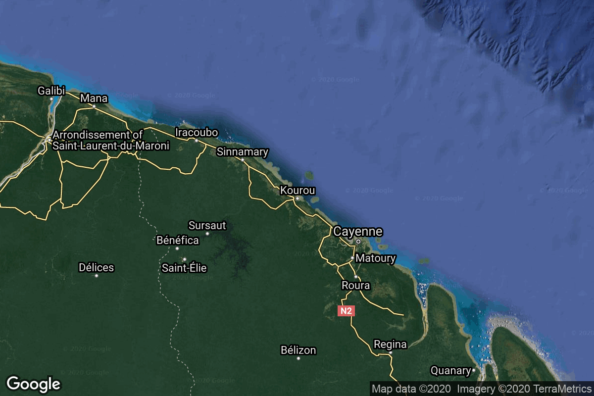
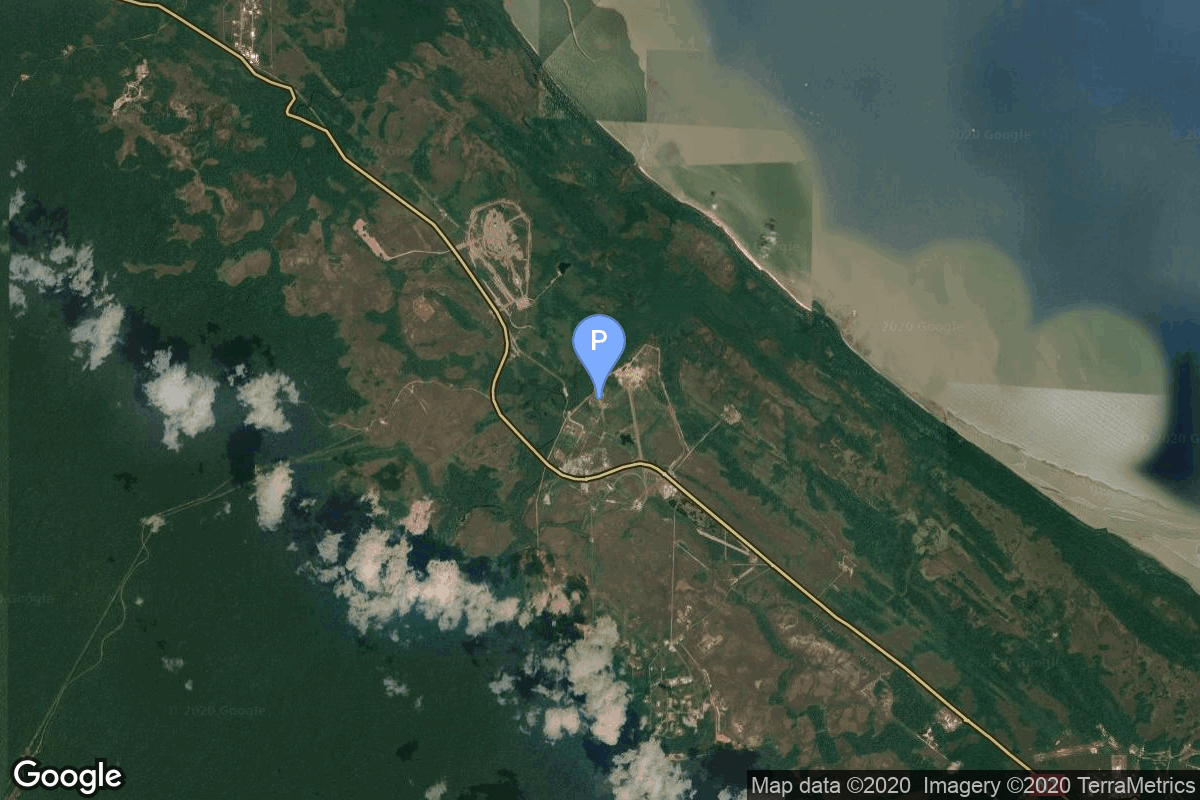
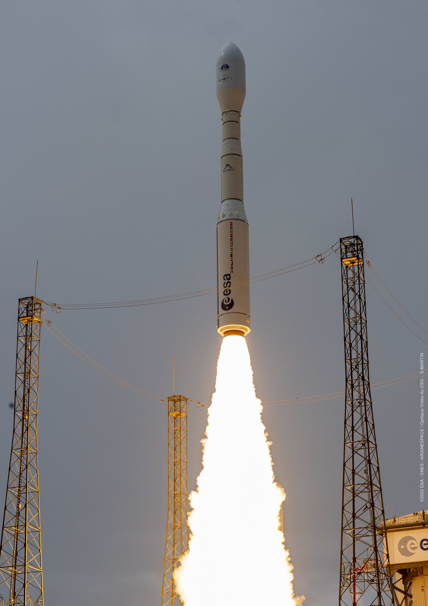
{ "count": 8119, "next": "https://ll.thespacedevs.com/2.2.0/launch/?format=api&limit=10&offset=170&ordering=-net", "previous": "https://ll.thespacedevs.com/2.2.0/launch/?format=api&limit=10&offset=150&ordering=-net", "results": [ { "id": "6a0f7c63-2b2c-4c39-b52a-aa62912f0d53", "url": "https://ll.thespacedevs.com/2.2.0/launch/6a0f7c63-2b2c-4c39-b52a-aa62912f0d53/?format=api", "slug": "vulcan-vc2s-gps-iiif-sv04-ussf-88", "name": "Vulcan VC2S | GPS IIIF SV04 (USSF-88)", "status": { "id": 2, "name": "To Be Determined", "abbrev": "TBD", "description": "Current date is a placeholder or rough estimation based on unreliable or interpreted sources." }, "last_updated": "2026-06-19T05:34:46Z", "net": "2029-12-31T00:00:00Z", "window_end": "2029-12-31T00:00:00Z", "window_start": "2029-12-31T00:00:00Z", "net_precision": { "id": 14, "name": "Year", "abbrev": "Y", "description": "The T-0 is expected in the given year." }, "probability": null, "weather_concerns": null, "holdreason": "", "failreason": "", "hashtag": null, "launch_service_provider": { "id": 124, "url": "https://ll.thespacedevs.com/2.2.0/agencies/124/?format=api", "name": "United Launch Alliance", "type": "Commercial" }, "rocket": { "id": 8755, "configuration": { "id": 201, "url": "https://ll.thespacedevs.com/2.2.0/config/launcher/201/?format=api", "name": "Vulcan VC2S", "family": "Vulcan", "full_name": "Vulcan VC2S", "variant": "VC2S" } }, "mission": { "id": 7346, "name": "GPS IIIF SV04 (USSF-88)", "description": "Fourth Block IIIF GPS satellite", "launch_designator": null, "type": "Navigation", "orbit": { "id": 12, "name": "Medium Earth Orbit", "abbrev": "MEO" }, "agencies": [ { "id": 1041, "url": "https://ll.thespacedevs.com/2.2.0/agencies/1041/?format=api", "name": "United States Space Force", "featured": false, "type": "Government", "country_code": "USA", "abbrev": "USSF", "description": "The United States Space Force (USSF) is the space service branch of the U.S. Armed Forces, one of the eight U.S. uniformed services.", "administrator": "Chief of Space Operations: Gen. Douglas Schiess", "founding_year": "2019", "launchers": "", "spacecraft": "", "launch_library_url": null, "total_launch_count": 0, "consecutive_successful_launches": 0, "successful_launches": 0, "failed_launches": 0, "pending_launches": 0, "consecutive_successful_landings": 0, "successful_landings": 0, "failed_landings": 0, "attempted_landings": 0, "info_url": "https://www.spaceforce.mil/", "wiki_url": "https://en.wikipedia.org/wiki/United_States_Space_Force", "logo_url": "https://thespacedevs-prod.nyc3.digitaloceanspaces.com/media/images/united2520states2520space2520force_logo_20221102113048.png", "image_url": null, "nation_url": "https://thespacedevs-prod.nyc3.digitaloceanspaces.com/media/images/united_states_s_image_20250916065613.jpg" } ], "info_urls": [], "vid_urls": [] }, "pad": { "id": 29, "url": "https://ll.thespacedevs.com/2.2.0/pad/29/?format=api", "agency_id": null, "name": "Space Launch Complex 41", "description": "", "info_url": null, "wiki_url": "https://en.wikipedia.org/wiki/Cape_Canaveral_Air_Force_Station_Space_Launch_Complex_41", "map_url": "https://www.google.com/maps?q=28.58341025,-80.58303644", "latitude": "28.58341025", "longitude": "-80.58303644", "location": { "id": 12, "url": "https://ll.thespacedevs.com/2.2.0/location/12/?format=api", "name": "Cape Canaveral SFS, FL, USA", "country_code": "USA", "description": "Cape Canaveral Space Force Station (CCSFS) is an installation of the United States Space Force's Space Launch Delta 45, located on Cape Canaveral in Brevard County, Florida.", "map_image": "https://thespacedevs-prod.nyc3.digitaloceanspaces.com/media/map_images/location_12_20200803142519.jpg", "timezone_name": "America/New_York", "total_launch_count": 1132, "total_landing_count": 83 }, "country_code": "USA", "map_image": "https://thespacedevs-prod.nyc3.digitaloceanspaces.com/media/map_images/pad_29_20200803143528.jpg", "total_launch_count": 125, "orbital_launch_attempt_count": 125 }, "webcast_live": false, "image": "https://thespacedevs-prod.nyc3.digitaloceanspaces.com/media/images/vulcan_image_20240107162928.jpeg", "infographic": null, "program": [ { "id": 29, "url": "https://ll.thespacedevs.com/2.2.0/program/29/?format=api", "name": "Global Positioning System", "description": "The Global Positioning System (GPS), originally Navstar GPS, is a satellite-based radio navigation system owned by the United States government and operated by the United States Space Force. It is one of the global navigation satellite systems (GNSS) that provide geolocation and time information to a GPS receiver anywhere on or near the Earth where there is an unobstructed line of sight to four or more GPS satellites.", "agencies": [ { "id": 1041, "url": "https://ll.thespacedevs.com/2.2.0/agencies/1041/?format=api", "name": "United States Space Force", "type": "Government" } ], "image_url": "https://thespacedevs-prod.nyc3.digitaloceanspaces.com/media/images/global2520posi_program_20231229182501.png", "start_date": "1978-02-22T00:00:00Z", "end_date": null, "info_url": "https://www.gps.gov/", "wiki_url": "https://en.wikipedia.org/wiki/Global_Positioning_System", "mission_patches": [], "type": { "id": 4, "name": "Navigation Constellation" } } ], "orbital_launch_attempt_count": 7873, "location_launch_attempt_count": 1316, "pad_launch_attempt_count": 189, "agency_launch_attempt_count": 246, "orbital_launch_attempt_count_year": 147, "location_launch_attempt_count_year": 79, "pad_launch_attempt_count_year": 43, "agency_launch_attempt_count_year": 43, "type": "normal" }, { "id": "7e1da0a6-162e-4e94-8c21-9fa729f4ad7f", "url": "https://ll.thespacedevs.com/2.2.0/launch/7e1da0a6-162e-4e94-8c21-9fa729f4ad7f/?format=api", "slug": "vulcan-vc6l-amazon-leo-lv-10", "name": "Vulcan VC6L | Amazon Leo (LV-10)", "status": { "id": 2, "name": "To Be Determined", "abbrev": "TBD", "description": "Current date is a placeholder or rough estimation based on unreliable or interpreted sources." }, "last_updated": "2026-09-30T03:02:18Z", "net": "2029-12-31T00:00:00Z", "window_end": "2029-12-31T00:00:00Z", "window_start": "2029-12-31T00:00:00Z", "net_precision": { "id": 16, "name": "Decade", "abbrev": "DEC", "description": "The T-0 is expected in the given decade." }, "probability": null, "weather_concerns": null, "holdreason": "", "failreason": "", "hashtag": null, "launch_service_provider": { "id": 124, "url": "https://ll.thespacedevs.com/2.2.0/agencies/124/?format=api", "name": "United Launch Alliance", "type": "Commercial" }, "rocket": { "id": 9169, "configuration": { "id": 479, "url": "https://ll.thespacedevs.com/2.2.0/config/launcher/479/?format=api", "name": "Vulcan VC6L", "family": "Vulcan", "full_name": "Vulcan VC6L", "variant": "VC6L" } }, "mission": { "id": 7768, "name": "Amazon Leo (LV-10)", "description": "Amazon Leo, formerly known as Project Kuiper, is a mega constellation of satellites in Low Earth Orbit that will offer broadband internet access, this constellation will be managed by Kuiper Systems LLC, a subsidiary of Amazon. This constellation is planned to be composed of 3,276 satellites. The satellites are projected to be placed in 98 orbital planes in three orbital layers, one at 590 km, 610 km and 630 km altitude.\r\n\r\n45 satellites will be carried on each Vulcan launch.", "launch_designator": null, "type": "Communications", "orbit": { "id": 8, "name": "Low Earth Orbit", "abbrev": "LEO" }, "agencies": [ { "id": 1058, "url": "https://ll.thespacedevs.com/2.2.0/agencies/1058/?format=api", "name": "Amazon Leo", "featured": false, "type": "Private", "country_code": "USA", "abbrev": "Amazon", "description": "Amazon Leo, formerly known as Kuiper Systems LLC and Project Kuiper, is a subsidiary of Amazon that was established in 2019 to deploy a large satellite internet constellation to provide low-latency broadband internet connectivity.", "administrator": "President: Rajeev Badyal", "founding_year": "2019", "launchers": "", "spacecraft": "", "launch_library_url": null, "total_launch_count": 0, "consecutive_successful_launches": 0, "successful_launches": 0, "failed_launches": 0, "pending_launches": 0, "consecutive_successful_landings": 0, "successful_landings": 0, "failed_landings": 0, "attempted_landings": 0, "info_url": "https://leo.amazon.com/", "wiki_url": "https://en.wikipedia.org/wiki/Kuiper_Systems", "logo_url": null, "image_url": null, "nation_url": "https://thespacedevs-prod.nyc3.digitaloceanspaces.com/media/images/amazon_leo_soci_image_20251117075814.png" } ], "info_urls": [], "vid_urls": [] }, "pad": { "id": 29, "url": "https://ll.thespacedevs.com/2.2.0/pad/29/?format=api", "agency_id": null, "name": "Space Launch Complex 41", "description": "", "info_url": null, "wiki_url": "https://en.wikipedia.org/wiki/Cape_Canaveral_Air_Force_Station_Space_Launch_Complex_41", "map_url": "https://www.google.com/maps?q=28.58341025,-80.58303644", "latitude": "28.58341025", "longitude": "-80.58303644", "location": { "id": 12, "url": "https://ll.thespacedevs.com/2.2.0/location/12/?format=api", "name": "Cape Canaveral SFS, FL, USA", "country_code": "USA", "description": "Cape Canaveral Space Force Station (CCSFS) is an installation of the United States Space Force's Space Launch Delta 45, located on Cape Canaveral in Brevard County, Florida.", "map_image": "https://thespacedevs-prod.nyc3.digitaloceanspaces.com/media/map_images/location_12_20200803142519.jpg", "timezone_name": "America/New_York", "total_launch_count": 1132, "total_landing_count": 83 }, "country_code": "USA", "map_image": "https://thespacedevs-prod.nyc3.digitaloceanspaces.com/media/map_images/pad_29_20200803143528.jpg", "total_launch_count": 125, "orbital_launch_attempt_count": 125 }, "webcast_live": false, "image": "https://thespacedevs-prod.nyc3.digitaloceanspaces.com/media/images/vulcan_vc6l_image_20220406123130.jpg", "infographic": null, "program": [ { "id": 27, "url": "https://ll.thespacedevs.com/2.2.0/program/27/?format=api", "name": "Amazon Leo", "description": "Amazon Leo is a satellite internet constellation aimed at providing high-speed, low-latency broadband connectivity to underserved and remote areas globally. The project involves deploying a constellation of low Earth orbit (LEO) satellites to create a satellite internet network capable of delivering reliable internet access.", "agencies": [ { "id": 1058, "url": "https://ll.thespacedevs.com/2.2.0/agencies/1058/?format=api", "name": "Amazon Leo", "type": "Private" } ], "image_url": "https://thespacedevs-prod.nyc3.digitaloceanspaces.com/media/images/project2520kui_program_20231228165031.jpeg", "start_date": "2023-10-16T18:06:00Z", "end_date": null, "info_url": "https://en.wikipedia.org/wiki/Kuiper_Systems", "wiki_url": "https://aboutamazon.com/what-we-do/devices-services/project-kuiper", "mission_patches": [], "type": { "id": 3, "name": "Communication Constellation" } } ], "orbital_launch_attempt_count": 7873, "location_launch_attempt_count": 1316, "pad_launch_attempt_count": 189, "agency_launch_attempt_count": 246, "orbital_launch_attempt_count_year": 147, "location_launch_attempt_count_year": 79, "pad_launch_attempt_count_year": 43, "agency_launch_attempt_count_year": 43, "type": "normal" }, { "id": "633b152c-63ef-453d-9f16-467dcc299916", "url": "https://ll.thespacedevs.com/2.2.0/launch/633b152c-63ef-453d-9f16-467dcc299916/?format=api", "slug": "falcon-9-block-5-kps-1", "name": "Falcon 9 Block 5 | KPS-1", "status": { "id": 2, "name": "To Be Determined", "abbrev": "TBD", "description": "Current date is a placeholder or rough estimation based on unreliable or interpreted sources." }, "last_updated": "2025-10-05T18:57:04Z", "net": "2029-09-30T00:00:00Z", "window_end": "2029-09-30T00:00:00Z", "window_start": "2029-09-30T00:00:00Z", "net_precision": { "id": 7, "name": "Month", "abbrev": "M", "description": "The T-0 is expected in the given month." }, "probability": null, "weather_concerns": null, "holdreason": "", "failreason": "", "hashtag": null, "launch_service_provider": { "id": 121, "url": "https://ll.thespacedevs.com/2.2.0/agencies/121/?format=api", "name": "SpaceX", "type": "Commercial" }, "rocket": { "id": 8756, "configuration": { "id": 164, "url": "https://ll.thespacedevs.com/2.2.0/config/launcher/164/?format=api", "name": "Falcon 9", "family": "Falcon", "full_name": "Falcon 9 Block 5", "variant": "Block 5" } }, "mission": { "id": 7347, "name": "KPS-1", "description": "KPS-1 is South Korea's first navigation satellite, the 1st of 8 satellites planned for the Korean Positioning System (KPS). This will be one of 5 satellites to be deployed into an Inclined Geosynchronous Orbit (IGSO), with the other 3 in geostationary orbits. \r\n\r\nThe KPS is scheduled to be completed by 2035.", "launch_designator": null, "type": "Navigation", "orbit": { "id": 4, "name": "Geosynchronous Transfer Orbit", "abbrev": "GSTO" }, "agencies": [], "info_urls": [], "vid_urls": [] }, "pad": { "id": 72, "url": "https://ll.thespacedevs.com/2.2.0/pad/72/?format=api", "agency_id": null, "name": "Unknown Pad", "description": null, "info_url": null, "wiki_url": "", "map_url": "https://www.google.com/maps?q=28.458,-80.528", "latitude": "28.458", "longitude": "-80.528", "location": { "id": 12, "url": "https://ll.thespacedevs.com/2.2.0/location/12/?format=api", "name": "Cape Canaveral SFS, FL, USA", "country_code": "USA", "description": "Cape Canaveral Space Force Station (CCSFS) is an installation of the United States Space Force's Space Launch Delta 45, located on Cape Canaveral in Brevard County, Florida.", "map_image": "https://thespacedevs-prod.nyc3.digitaloceanspaces.com/media/map_images/location_12_20200803142519.jpg", "timezone_name": "America/New_York", "total_launch_count": 1132, "total_landing_count": 83 }, "country_code": "USA", "map_image": "https://thespacedevs-prod.nyc3.digitaloceanspaces.com/media/map_images/pad_72_20200803143403.jpg", "total_launch_count": 0, "orbital_launch_attempt_count": 0 }, "webcast_live": false, "image": "https://thespacedevs-prod.nyc3.digitaloceanspaces.com/media/images/falcon_9_image_20230807133459.jpeg", "infographic": null, "program": [], "orbital_launch_attempt_count": 7727, "location_launch_attempt_count": 1238, "pad_launch_attempt_count": 53, "agency_launch_attempt_count": 859, "orbital_launch_attempt_count_year": 1, "location_launch_attempt_count_year": 1, "pad_launch_attempt_count_year": 1, "agency_launch_attempt_count_year": 1, "type": "normal" }, { "id": "28953c93-cc51-48a1-be8c-d92fc0929b66", "url": "https://ll.thespacedevs.com/2.2.0/launch/28953c93-cc51-48a1-be8c-d92fc0929b66/?format=api", "slug": "soyuz-21bfregat-m-luna-27", "name": "Soyuz 2.1b/Fregat-M | Luna 27", "status": { "id": 2, "name": "To Be Determined", "abbrev": "TBD", "description": "Current date is a placeholder or rough estimation based on unreliable or interpreted sources." }, "last_updated": "2023-12-28T01:04:43Z", "net": "2028-12-31T00:00:00Z", "window_end": "2028-12-31T00:00:00Z", "window_start": "2028-12-31T00:00:00Z", "net_precision": { "id": 14, "name": "Year", "abbrev": "Y", "description": "The T-0 is expected in the given year." }, "probability": null, "weather_concerns": null, "holdreason": "", "failreason": "", "hashtag": null, "launch_service_provider": { "id": 63, "url": "https://ll.thespacedevs.com/2.2.0/agencies/63/?format=api", "name": "Russian Federal Space Agency (ROSCOSMOS)", "type": "Government" }, "rocket": { "id": 2705, "configuration": { "id": 134, "url": "https://ll.thespacedevs.com/2.2.0/config/launcher/134/?format=api", "name": "Soyuz 2.1b/Fregat-M", "family": "Soyuz", "full_name": "Soyuz 2.1b Fregat-M", "variant": "Fregat-M" } }, "mission": { "id": 6727, "name": "Luna 27", "description": "Luna 27 (also named Luna-Resurs 1) is a planned lunar lander mission by Roscosmos to send a lander to the South Pole–Aitken basin, an area on the far side of the Moon. The purpose is to prospect for minerals, volatiles (nitrogen, water, carbon dioxide, ammonia, hydrogen, methane and sulfur dioxide, and lunar water ice in permanently shadowed areas of the Moon and investigate the potential use of these natural lunar resources. On the long term, Russia considers building a crewed base on the Moon's far side that would bring scientific and commercial benefits.\r\n\r\nThe lander will feature 15 science instruments that will analyse the regolith, plasma in the exosphere, dust, and seismic activity. The payload will include a sampling drill.", "launch_designator": null, "type": "Planetary Science", "orbit": { "id": 11, "name": "Lunar Orbit", "abbrev": "LO" }, "agencies": [], "info_urls": [], "vid_urls": [] }, "pad": { "id": 83, "url": "https://ll.thespacedevs.com/2.2.0/pad/83/?format=api", "agency_id": 63, "name": "Cosmodrome Site 1S", "description": "", "info_url": null, "wiki_url": "https://en.wikipedia.org/wiki/Vostochny_Cosmodrome", "map_url": "https://www.google.com/maps?q=51.884395,128.333932", "latitude": "51.884395", "longitude": "128.333932", "location": { "id": 18, "url": "https://ll.thespacedevs.com/2.2.0/location/18/?format=api", "name": "Vostochny Cosmodrome, Siberia, Russian Federation", "country_code": "RUS", "description": "The Vostochny Cosmodrome is a Russian spaceport above the 51st parallel north in the Amur Oblast, in the Russian Far East. It is intended to reduce Russia's dependency on the Baikonur Cosmodrome in Kazakhstan. The first launch took place on 28 April 2016 at 02:01 UTC.", "map_image": "https://thespacedevs-prod.nyc3.digitaloceanspaces.com/media/map_images/location_18_20200803142401.jpg", "timezone_name": "Asia/Yakutsk", "total_launch_count": 21, "total_landing_count": 0 }, "country_code": "RUS", "map_image": "https://thespacedevs-prod.nyc3.digitaloceanspaces.com/media/map_images/pad_83_20200803143544.jpg", "total_launch_count": 20, "orbital_launch_attempt_count": 20 }, "webcast_live": false, "image": "https://thespacedevs-prod.nyc3.digitaloceanspaces.com/media/images/soyuz_2.1b_image_20230802085331.jpg", "infographic": null, "program": [], "orbital_launch_attempt_count": 7726, "location_launch_attempt_count": 24, "pad_launch_attempt_count": 23, "agency_launch_attempt_count": 349, "orbital_launch_attempt_count_year": 52, "location_launch_attempt_count_year": 1, "pad_launch_attempt_count_year": 1, "agency_launch_attempt_count_year": 1, "type": "normal" }, { "id": "096e0a90-22f5-4323-a2a2-53eacde0371c", "url": "https://ll.thespacedevs.com/2.2.0/launch/096e0a90-22f5-4323-a2a2-53eacde0371c/?format=api", "slug": "vulcan-gps-iiif-sv01", "name": "Vulcan | GPS IIIF SV01", "status": { "id": 2, "name": "To Be Determined", "abbrev": "TBD", "description": "Current date is a placeholder or rough estimation based on unreliable or interpreted sources." }, "last_updated": "2026-06-19T05:34:21Z", "net": "2028-12-31T00:00:00Z", "window_end": "2028-12-31T00:00:00Z", "window_start": "2028-12-31T00:00:00Z", "net_precision": { "id": 14, "name": "Year", "abbrev": "Y", "description": "The T-0 is expected in the given year." }, "probability": null, "weather_concerns": null, "holdreason": "", "failreason": "", "hashtag": null, "launch_service_provider": { "id": 124, "url": "https://ll.thespacedevs.com/2.2.0/agencies/124/?format=api", "name": "United Launch Alliance", "type": "Commercial" }, "rocket": { "id": 8065, "configuration": { "id": 200, "url": "https://ll.thespacedevs.com/2.2.0/config/launcher/200/?format=api", "name": "Vulcan", "family": "Vulcan", "full_name": "Vulcan", "variant": "Vulcan" } }, "mission": { "id": 6618, "name": "GPS IIIF SV01", "description": "First Block IIIF GPS satellite", "launch_designator": null, "type": "Navigation", "orbit": { "id": 12, "name": "Medium Earth Orbit", "abbrev": "MEO" }, "agencies": [ { "id": 1041, "url": "https://ll.thespacedevs.com/2.2.0/agencies/1041/?format=api", "name": "United States Space Force", "featured": false, "type": "Government", "country_code": "USA", "abbrev": "USSF", "description": "The United States Space Force (USSF) is the space service branch of the U.S. Armed Forces, one of the eight U.S. uniformed services.", "administrator": "Chief of Space Operations: Gen. Douglas Schiess", "founding_year": "2019", "launchers": "", "spacecraft": "", "launch_library_url": null, "total_launch_count": 0, "consecutive_successful_launches": 0, "successful_launches": 0, "failed_launches": 0, "pending_launches": 0, "consecutive_successful_landings": 0, "successful_landings": 0, "failed_landings": 0, "attempted_landings": 0, "info_url": "https://www.spaceforce.mil/", "wiki_url": "https://en.wikipedia.org/wiki/United_States_Space_Force", "logo_url": "https://thespacedevs-prod.nyc3.digitaloceanspaces.com/media/images/united2520states2520space2520force_logo_20221102113048.png", "image_url": null, "nation_url": "https://thespacedevs-prod.nyc3.digitaloceanspaces.com/media/images/united_states_s_image_20250916065613.jpg" } ], "info_urls": [], "vid_urls": [] }, "pad": { "id": 29, "url": "https://ll.thespacedevs.com/2.2.0/pad/29/?format=api", "agency_id": null, "name": "Space Launch Complex 41", "description": "", "info_url": null, "wiki_url": "https://en.wikipedia.org/wiki/Cape_Canaveral_Air_Force_Station_Space_Launch_Complex_41", "map_url": "https://www.google.com/maps?q=28.58341025,-80.58303644", "latitude": "28.58341025", "longitude": "-80.58303644", "location": { "id": 12, "url": "https://ll.thespacedevs.com/2.2.0/location/12/?format=api", "name": "Cape Canaveral SFS, FL, USA", "country_code": "USA", "description": "Cape Canaveral Space Force Station (CCSFS) is an installation of the United States Space Force's Space Launch Delta 45, located on Cape Canaveral in Brevard County, Florida.", "map_image": "https://thespacedevs-prod.nyc3.digitaloceanspaces.com/media/map_images/location_12_20200803142519.jpg", "timezone_name": "America/New_York", "total_launch_count": 1132, "total_landing_count": 83 }, "country_code": "USA", "map_image": "https://thespacedevs-prod.nyc3.digitaloceanspaces.com/media/map_images/pad_29_20200803143528.jpg", "total_launch_count": 125, "orbital_launch_attempt_count": 125 }, "webcast_live": false, "image": "https://thespacedevs-prod.nyc3.digitaloceanspaces.com/media/images/vulcan_image_20240107162928.jpeg", "infographic": null, "program": [ { "id": 29, "url": "https://ll.thespacedevs.com/2.2.0/program/29/?format=api", "name": "Global Positioning System", "description": "The Global Positioning System (GPS), originally Navstar GPS, is a satellite-based radio navigation system owned by the United States government and operated by the United States Space Force. It is one of the global navigation satellite systems (GNSS) that provide geolocation and time information to a GPS receiver anywhere on or near the Earth where there is an unobstructed line of sight to four or more GPS satellites.", "agencies": [ { "id": 1041, "url": "https://ll.thespacedevs.com/2.2.0/agencies/1041/?format=api", "name": "United States Space Force", "type": "Government" } ], "image_url": "https://thespacedevs-prod.nyc3.digitaloceanspaces.com/media/images/global2520posi_program_20231229182501.png", "start_date": "1978-02-22T00:00:00Z", "end_date": null, "info_url": "https://www.gps.gov/", "wiki_url": "https://en.wikipedia.org/wiki/Global_Positioning_System", "mission_patches": [], "type": { "id": 4, "name": "Navigation Constellation" } } ], "orbital_launch_attempt_count": 7726, "location_launch_attempt_count": 1237, "pad_launch_attempt_count": 146, "agency_launch_attempt_count": 203, "orbital_launch_attempt_count_year": 52, "location_launch_attempt_count_year": 16, "pad_launch_attempt_count_year": 4, "agency_launch_attempt_count_year": 4, "type": "normal" }, { "id": "2156b17b-76ff-4140-9146-e8d52d7e8e7d", "url": "https://ll.thespacedevs.com/2.2.0/launch/2156b17b-76ff-4140-9146-e8d52d7e8e7d/?format=api", "slug": "falcon-9-block-5-echostar-26", "name": "Falcon 9 Block 5 | EchoStar 26", "status": { "id": 2, "name": "To Be Determined", "abbrev": "TBD", "description": "Current date is a placeholder or rough estimation based on unreliable or interpreted sources." }, "last_updated": "2025-11-06T12:19:17Z", "net": "2028-12-31T00:00:00Z", "window_end": "2028-12-31T00:00:00Z", "window_start": "2028-12-31T00:00:00Z", "net_precision": { "id": 14, "name": "Year", "abbrev": "Y", "description": "The T-0 is expected in the given year." }, "probability": null, "weather_concerns": null, "holdreason": "", "failreason": "", "hashtag": null, "launch_service_provider": { "id": 121, "url": "https://ll.thespacedevs.com/2.2.0/agencies/121/?format=api", "name": "SpaceX", "type": "Commercial" }, "rocket": { "id": 8793, "configuration": { "id": 164, "url": "https://ll.thespacedevs.com/2.2.0/config/launcher/164/?format=api", "name": "Falcon 9", "family": "Falcon", "full_name": "Falcon 9 Block 5", "variant": "Block 5" } }, "mission": { "id": 7384, "name": "EchoStar 26", "description": "EchoStar 26 is a direct broadcast satellite, built on the proven Maxar 1300 series platform, which will deliver content across DISH TV customers across all 50 U.S. states & Puerto Rico. It will be equipped with a high-power, multi-spot beam payload, allowing DISH to provide high-quality content to its customers.", "launch_designator": null, "type": "Communications", "orbit": { "id": 2, "name": "Geostationary Transfer Orbit", "abbrev": "GTO" }, "agencies": [], "info_urls": [], "vid_urls": [] }, "pad": { "id": 72, "url": "https://ll.thespacedevs.com/2.2.0/pad/72/?format=api", "agency_id": null, "name": "Unknown Pad", "description": null, "info_url": null, "wiki_url": "", "map_url": "https://www.google.com/maps?q=28.458,-80.528", "latitude": "28.458", "longitude": "-80.528", "location": { "id": 12, "url": "https://ll.thespacedevs.com/2.2.0/location/12/?format=api", "name": "Cape Canaveral SFS, FL, USA", "country_code": "USA", "description": "Cape Canaveral Space Force Station (CCSFS) is an installation of the United States Space Force's Space Launch Delta 45, located on Cape Canaveral in Brevard County, Florida.", "map_image": "https://thespacedevs-prod.nyc3.digitaloceanspaces.com/media/map_images/location_12_20200803142519.jpg", "timezone_name": "America/New_York", "total_launch_count": 1132, "total_landing_count": 83 }, "country_code": "USA", "map_image": "https://thespacedevs-prod.nyc3.digitaloceanspaces.com/media/map_images/pad_72_20200803143403.jpg", "total_launch_count": 0, "orbital_launch_attempt_count": 0 }, "webcast_live": false, "image": "https://thespacedevs-prod.nyc3.digitaloceanspaces.com/media/images/falcon_9_image_20230807133459.jpeg", "infographic": null, "program": [], "orbital_launch_attempt_count": 7726, "location_launch_attempt_count": 1237, "pad_launch_attempt_count": 52, "agency_launch_attempt_count": 858, "orbital_launch_attempt_count_year": 52, "location_launch_attempt_count_year": 16, "pad_launch_attempt_count_year": 3, "agency_launch_attempt_count_year": 15, "type": "normal" }, { "id": "749d5b4d-bb19-4224-8962-2c1aa1a05791", "url": "https://ll.thespacedevs.com/2.2.0/launch/749d5b4d-bb19-4224-8962-2c1aa1a05791/?format=api", "slug": "electron-iqps-launch-14", "name": "Electron | iQPS Launch 14", "status": { "id": 2, "name": "To Be Determined", "abbrev": "TBD", "description": "Current date is a placeholder or rough estimation based on unreliable or interpreted sources." }, "last_updated": "2026-04-09T20:57:23Z", "net": "2028-12-31T00:00:00Z", "window_end": "2028-12-31T00:00:00Z", "window_start": "2028-12-31T00:00:00Z", "net_precision": { "id": 14, "name": "Year", "abbrev": "Y", "description": "The T-0 is expected in the given year." }, "probability": null, "weather_concerns": null, "holdreason": "", "failreason": "", "hashtag": null, "launch_service_provider": { "id": 147, "url": "https://ll.thespacedevs.com/2.2.0/agencies/147/?format=api", "name": "Rocket Lab", "type": "Commercial" }, "rocket": { "id": 8966, "configuration": { "id": 26, "url": "https://ll.thespacedevs.com/2.2.0/config/launcher/26/?format=api", "name": "Electron", "family": "", "full_name": "Electron", "variant": "" } }, "mission": { "id": 7561, "name": "iQPS Launch 14", "description": "Synthetic aperture radar Earth observation satellite for Japanese Earth imaging company iQPS.", "launch_designator": null, "type": "Earth Science", "orbit": { "id": 8, "name": "Low Earth Orbit", "abbrev": "LEO" }, "agencies": [ { "id": 1092, "url": "https://ll.thespacedevs.com/2.2.0/agencies/1092/?format=api", "name": "Institute for Q-shu Pioneers of Space", "featured": false, "type": "Private", "country_code": "JPN", "abbrev": "iQPS", "description": "iQPS (Institute for Q-shu Pioneers of Space, Inc.) is a Japanese satellite manufacturer and operator. The company was founded as a spin-off company of Kyushu University in 2005.", "administrator": "CEO: Shunsuke Onishi", "founding_year": "2005", "launchers": "", "spacecraft": "", "launch_library_url": null, "total_launch_count": 0, "consecutive_successful_launches": 0, "successful_launches": 0, "failed_launches": 0, "pending_launches": 0, "consecutive_successful_landings": 0, "successful_landings": 0, "failed_landings": 0, "attempted_landings": 0, "info_url": "https://i-qps.net/en/", "wiki_url": "https://en.wikipedia.org/wiki/IQPS", "logo_url": "https://thespacedevs-prod.nyc3.digitaloceanspaces.com/media/images/iqps_logo_image_20250303221951.jpg", "image_url": null, "nation_url": "https://thespacedevs-prod.nyc3.digitaloceanspaces.com/media/images/iqps_social_log_image_20250303221924.jpg" } ], "info_urls": [], "vid_urls": [] }, "pad": { "id": 210, "url": "https://ll.thespacedevs.com/2.2.0/pad/210/?format=api", "agency_id": null, "name": "Unknown Pad", "description": null, "info_url": null, "wiki_url": null, "map_url": null, "latitude": "-39.260881", "longitude": "177.865826", "location": { "id": 10, "url": "https://ll.thespacedevs.com/2.2.0/location/10/?format=api", "name": "Rocket Lab Launch Complex 1, Mahia Peninsula, New Zealand", "country_code": "NZL", "description": "Rocket Lab Launch Complex 1 is a commercial spaceport located close to Ahuriri Point at the southern tip of Māhia Peninsula, on the east coast of New Zealand's North Island. It is owned and operated by private spaceflight company Rocket Lab and supports launches of the company's Electron rocket for small satellites. With the launch of Electron on 25 May 2017, it became the first private spaceport to host an orbital launch attempt, and the first site in New Zealand to host an orbital launch attempt. With the Electron launch of 21 January 2018, it became the first private spaceport to host a successful orbital launch.", "map_image": "https://thespacedevs-prod.nyc3.digitaloceanspaces.com/media/map_images/location_10_20200803142509.jpg", "timezone_name": "Pacific/Auckland", "total_launch_count": 84, "total_landing_count": 17 }, "country_code": "NZL", "map_image": "https://thespacedevs-prod.nyc3.digitaloceanspaces.com/media/map_images/pad_210_20230819165718.jpg", "total_launch_count": 0, "orbital_launch_attempt_count": 0 }, "webcast_live": false, "image": "https://thespacedevs-prod.nyc3.digitaloceanspaces.com/media/images/electron_image_20190705175640.jpeg", "infographic": null, "program": [], "orbital_launch_attempt_count": 7726, "location_launch_attempt_count": 107, "pad_launch_attempt_count": 22, "agency_launch_attempt_count": 126, "orbital_launch_attempt_count_year": 52, "location_launch_attempt_count_year": 6, "pad_launch_attempt_count_year": 6, "agency_launch_attempt_count_year": 7, "type": "normal" }, { "id": "46339a1d-367c-4903-b827-8eaa12d66391", "url": "https://ll.thespacedevs.com/2.2.0/launch/46339a1d-367c-4903-b827-8eaa12d66391/?format=api", "slug": "terran-r-mars-orbiter", "name": "Terran R | Mars Orbiter", "status": { "id": 2, "name": "To Be Determined", "abbrev": "TBD", "description": "Current date is a placeholder or rough estimation based on unreliable or interpreted sources." }, "last_updated": "2026-06-18T06:43:23Z", "net": "2028-12-31T00:00:00Z", "window_end": "2028-12-31T00:00:00Z", "window_start": "2028-12-31T00:00:00Z", "net_precision": { "id": 14, "name": "Year", "abbrev": "Y", "description": "The T-0 is expected in the given year." }, "probability": null, "weather_concerns": null, "holdreason": "", "failreason": "", "hashtag": null, "launch_service_provider": { "id": 266, "url": "https://ll.thespacedevs.com/2.2.0/agencies/266/?format=api", "name": "Relativity Space", "type": "Commercial" }, "rocket": { "id": 9064, "configuration": { "id": 482, "url": "https://ll.thespacedevs.com/2.2.0/config/launcher/482/?format=api", "name": "Terran R", "family": "Terran", "full_name": "Terran R", "variant": "R" } }, "mission": { "id": 7659, "name": "Mars Orbiter", "description": "Mars science and telecommunications orbiter, with a NASA-developed atmospheric instrument suite called Aeolus. It includes a Doppler wind and temperature sensor, thermal limb sounder, surface radiometric sensors and a wide-field camera.", "launch_designator": null, "type": "Planetary Science", "orbit": { "id": 19, "name": "Mars Orbit", "abbrev": "Mars" }, "agencies": [ { "id": 266, "url": "https://ll.thespacedevs.com/2.2.0/agencies/266/?format=api", "name": "Relativity Space", "featured": false, "type": "Commercial", "country_code": "USA", "abbrev": "RS", "description": "Relativity Space is an American aerospace manufacturing company headquartered in Los Angeles, California. It was founded in 2015 by Tim Ellis and Jordan Noone. Relativity Space is developing manufacturing technologies, launch vehicles and rocket engines for commercial orbital launch services.", "administrator": "CEO: Tim Ellis", "founding_year": "2015", "launchers": "Terran", "spacecraft": "", "launch_library_url": null, "total_launch_count": 1, "consecutive_successful_launches": 0, "successful_launches": 0, "failed_launches": 1, "pending_launches": 4, "consecutive_successful_landings": 0, "successful_landings": 0, "failed_landings": 0, "attempted_landings": 0, "info_url": "https://www.relativityspace.com/", "wiki_url": "https://en.wikipedia.org/wiki/Relativity_Space", "logo_url": "https://thespacedevs-prod.nyc3.digitaloceanspaces.com/media/images/relativity_spac_image_20240325080842.png", "image_url": null, "nation_url": "https://thespacedevs-prod.nyc3.digitaloceanspaces.com/media/images/relativity_spac_image_20240325081000.jpg" } ], "info_urls": [], "vid_urls": [] }, "pad": { "id": 92, "url": "https://ll.thespacedevs.com/2.2.0/pad/92/?format=api", "agency_id": 161, "name": "Launch Complex 16", "description": null, "info_url": null, "wiki_url": "https://en.wikipedia.org/wiki/Cape_Canaveral_Air_Force_Station_Launch_Complex_16", "map_url": "https://www.google.com/maps?q=28.501626,-80.5518", "latitude": "28.501626", "longitude": "-80.5518", "location": { "id": 12, "url": "https://ll.thespacedevs.com/2.2.0/location/12/?format=api", "name": "Cape Canaveral SFS, FL, USA", "country_code": "USA", "description": "Cape Canaveral Space Force Station (CCSFS) is an installation of the United States Space Force's Space Launch Delta 45, located on Cape Canaveral in Brevard County, Florida.", "map_image": "https://thespacedevs-prod.nyc3.digitaloceanspaces.com/media/map_images/location_12_20200803142519.jpg", "timezone_name": "America/New_York", "total_launch_count": 1132, "total_landing_count": 83 }, "country_code": "USA", "map_image": "https://thespacedevs-prod.nyc3.digitaloceanspaces.com/media/map_images/pad_92_20200803143523.jpg", "total_launch_count": 1, "orbital_launch_attempt_count": 1 }, "webcast_live": false, "image": "https://thespacedevs-prod.nyc3.digitaloceanspaces.com/media/images/relativity_spac_image_20260618064224.jpeg", "infographic": null, "program": [], "orbital_launch_attempt_count": 7726, "location_launch_attempt_count": 1237, "pad_launch_attempt_count": 5, "agency_launch_attempt_count": 5, "orbital_launch_attempt_count_year": 52, "location_launch_attempt_count_year": 16, "pad_launch_attempt_count_year": 2, "agency_launch_attempt_count_year": 2, "type": "normal" }, { "id": "5afce114-4749-4185-9032-80866fbcc081", "url": "https://ll.thespacedevs.com/2.2.0/launch/5afce114-4749-4185-9032-80866fbcc081/?format=api", "slug": "electron-iqps-launch-15", "name": "Electron | iQPS Launch 15", "status": { "id": 2, "name": "To Be Determined", "abbrev": "TBD", "description": "Current date is a placeholder or rough estimation based on unreliable or interpreted sources." }, "last_updated": "2026-07-30T13:17:15Z", "net": "2028-12-31T00:00:00Z", "window_end": "2028-12-31T00:00:00Z", "window_start": "2028-12-31T00:00:00Z", "net_precision": { "id": 14, "name": "Year", "abbrev": "Y", "description": "The T-0 is expected in the given year." }, "probability": null, "weather_concerns": null, "holdreason": "", "failreason": "", "hashtag": null, "launch_service_provider": { "id": 147, "url": "https://ll.thespacedevs.com/2.2.0/agencies/147/?format=api", "name": "Rocket Lab", "type": "Commercial" }, "rocket": { "id": 9102, "configuration": { "id": 26, "url": "https://ll.thespacedevs.com/2.2.0/config/launcher/26/?format=api", "name": "Electron", "family": "", "full_name": "Electron", "variant": "" } }, "mission": { "id": 7697, "name": "iQPS Launch 15", "description": "Synthetic aperture radar Earth observation satellite for Japanese Earth imaging company iQPS.", "launch_designator": null, "type": "Earth Science", "orbit": { "id": 8, "name": "Low Earth Orbit", "abbrev": "LEO" }, "agencies": [ { "id": 1092, "url": "https://ll.thespacedevs.com/2.2.0/agencies/1092/?format=api", "name": "Institute for Q-shu Pioneers of Space", "featured": false, "type": "Private", "country_code": "JPN", "abbrev": "iQPS", "description": "iQPS (Institute for Q-shu Pioneers of Space, Inc.) is a Japanese satellite manufacturer and operator. The company was founded as a spin-off company of Kyushu University in 2005.", "administrator": "CEO: Shunsuke Onishi", "founding_year": "2005", "launchers": "", "spacecraft": "", "launch_library_url": null, "total_launch_count": 0, "consecutive_successful_launches": 0, "successful_launches": 0, "failed_launches": 0, "pending_launches": 0, "consecutive_successful_landings": 0, "successful_landings": 0, "failed_landings": 0, "attempted_landings": 0, "info_url": "https://i-qps.net/en/", "wiki_url": "https://en.wikipedia.org/wiki/IQPS", "logo_url": "https://thespacedevs-prod.nyc3.digitaloceanspaces.com/media/images/iqps_logo_image_20250303221951.jpg", "image_url": null, "nation_url": "https://thespacedevs-prod.nyc3.digitaloceanspaces.com/media/images/iqps_social_log_image_20250303221924.jpg" } ], "info_urls": [], "vid_urls": [] }, "pad": { "id": 210, "url": "https://ll.thespacedevs.com/2.2.0/pad/210/?format=api", "agency_id": null, "name": "Unknown Pad", "description": null, "info_url": null, "wiki_url": null, "map_url": null, "latitude": "-39.260881", "longitude": "177.865826", "location": { "id": 10, "url": "https://ll.thespacedevs.com/2.2.0/location/10/?format=api", "name": "Rocket Lab Launch Complex 1, Mahia Peninsula, New Zealand", "country_code": "NZL", "description": "Rocket Lab Launch Complex 1 is a commercial spaceport located close to Ahuriri Point at the southern tip of Māhia Peninsula, on the east coast of New Zealand's North Island. It is owned and operated by private spaceflight company Rocket Lab and supports launches of the company's Electron rocket for small satellites. With the launch of Electron on 25 May 2017, it became the first private spaceport to host an orbital launch attempt, and the first site in New Zealand to host an orbital launch attempt. With the Electron launch of 21 January 2018, it became the first private spaceport to host a successful orbital launch.", "map_image": "https://thespacedevs-prod.nyc3.digitaloceanspaces.com/media/map_images/location_10_20200803142509.jpg", "timezone_name": "Pacific/Auckland", "total_launch_count": 84, "total_landing_count": 17 }, "country_code": "NZL", "map_image": "https://thespacedevs-prod.nyc3.digitaloceanspaces.com/media/map_images/pad_210_20230819165718.jpg", "total_launch_count": 0, "orbital_launch_attempt_count": 0 }, "webcast_live": false, "image": "https://thespacedevs-prod.nyc3.digitaloceanspaces.com/media/images/electron_image_20190705175640.jpeg", "infographic": null, "program": [], "orbital_launch_attempt_count": 7726, "location_launch_attempt_count": 107, "pad_launch_attempt_count": 22, "agency_launch_attempt_count": 126, "orbital_launch_attempt_count_year": 52, "location_launch_attempt_count_year": 6, "pad_launch_attempt_count_year": 6, "agency_launch_attempt_count_year": 7, "type": "normal" }, { "id": "649dc50d-928c-4cd2-a6fe-6e19dbc6d48d", "url": "https://ll.thespacedevs.com/2.2.0/launch/649dc50d-928c-4cd2-a6fe-6e19dbc6d48d/?format=api", "slug": "vega-c-formosat-8d", "name": "Vega-C | FORMOSAT-8D", "status": { "id": 2, "name": "To Be Determined", "abbrev": "TBD", "description": "Current date is a placeholder or rough estimation based on unreliable or interpreted sources." }, "last_updated": "2025-12-25T09:41:47Z", "net": "2028-12-31T00:00:00Z", "window_end": "2028-12-31T00:00:00Z", "window_start": "2028-12-31T00:00:00Z", "net_precision": { "id": 14, "name": "Year", "abbrev": "Y", "description": "The T-0 is expected in the given year." }, "probability": null, "weather_concerns": null, "holdreason": "", "failreason": "", "hashtag": null, "launch_service_provider": { "id": 159, "url": "https://ll.thespacedevs.com/2.2.0/agencies/159/?format=api", "name": "Avio S.p.A", "type": "Commercial" }, "rocket": { "id": 8865, "configuration": { "id": 127, "url": "https://ll.thespacedevs.com/2.2.0/config/launcher/127/?format=api", "name": "Vega-C", "family": "Vega", "full_name": "Vega-C", "variant": "" } }, "mission": { "id": 7456, "name": "FORMOSAT-8D", "description": "High-resolution optical Earth observation satellite.", "launch_designator": null, "type": "Earth Science", "orbit": { "id": 17, "name": "Sun-Synchronous Orbit", "abbrev": "SSO" }, "agencies": [ { "id": 1104, "url": "https://ll.thespacedevs.com/2.2.0/agencies/1104/?format=api", "name": "Taiwan Space Agency", "featured": false, "type": "Government", "country_code": "TWN", "abbrev": "TASA", "description": "The Taiwan Space Agency (abbreviated TASA), formerly the National Space Organization (NSPO) from 1991 to 2023, is the national civilian space agency of Taiwan, under the auspices of the National Science and Technology Council. TASA is involved in the development of space technologies and related research.", "administrator": "Director General: Wu Jong-shinn", "founding_year": "1991", "launchers": "", "spacecraft": "", "launch_library_url": null, "total_launch_count": 0, "consecutive_successful_launches": 0, "successful_launches": 0, "failed_launches": 0, "pending_launches": 0, "consecutive_successful_landings": 0, "successful_landings": 0, "failed_landings": 0, "attempted_landings": 0, "info_url": "https://www.tasa.org.tw/", "wiki_url": "https://en.wikipedia.org/wiki/Taiwan_Space_Agency", "logo_url": "https://thespacedevs-prod.nyc3.digitaloceanspaces.com/media/images/tasa_logo_image_20251225090444.png", "image_url": null, "nation_url": "https://thespacedevs-prod.nyc3.digitaloceanspaces.com/media/images/tasa_social_log_image_20251225090419.jpg" } ], "info_urls": [], "vid_urls": [] }, "pad": { "id": 34, "url": "https://ll.thespacedevs.com/2.2.0/pad/34/?format=api", "agency_id": 115, "name": "Ariane Launch Area 1 (ELV)", "description": "ELA-1, now named Ensemble de Lancement Vega (short ELV), is a launch pad at the Centre Spatial Guyanais in French Guiana. It has been used to support launches of the Europa rocket, Ariane 1, Ariane 3, and is currently used to launch Vega rockets.", "info_url": null, "wiki_url": "https://en.wikipedia.org/wiki/ELA-1", "map_url": "https://www.google.com/maps?q=5.236,-52.775", "latitude": "5.236", "longitude": "-52.775", "location": { "id": 13, "url": "https://ll.thespacedevs.com/2.2.0/location/13/?format=api", "name": "Guiana Space Centre, French Guiana", "country_code": "GUF", "description": "The Guiana Space Centre is a European spaceport to the northwest of Kourou in French Guiana, a region of France in South America. Kourou is located at a latitude of 5°. In operation since 1968, it is a suitable location for a spaceport because of its equatorial location and open sea to the east.", "map_image": "https://thespacedevs-prod.nyc3.digitaloceanspaces.com/media/map_images/location_13_20200803142412.jpg", "timezone_name": "America/Cayenne", "total_launch_count": 336, "total_landing_count": 0 }, "country_code": "GUF", "map_image": "https://thespacedevs-prod.nyc3.digitaloceanspaces.com/media/map_images/pad_34_20200803143527.jpg", "total_launch_count": 56, "orbital_launch_attempt_count": 56 }, "webcast_live": false, "image": "https://thespacedevs-prod.nyc3.digitaloceanspaces.com/media/images/vega-c_image_20220713154437.jpg", "infographic": null, "program": [], "orbital_launch_attempt_count": 7726, "location_launch_attempt_count": 373, "pad_launch_attempt_count": 73, "agency_launch_attempt_count": 20, "orbital_launch_attempt_count_year": 52, "location_launch_attempt_count_year": 13, "pad_launch_attempt_count_year": 8, "agency_launch_attempt_count_year": 8, "type": "normal" } ] }