Launch List
AN API endpoint that returns all Launch objects or a single launch.
EXAMPLE - /launch/[id]/ or /launch/?mode=list&search=SpaceX
GET Return a list of all Launch objects.
FILTERS Fields - 'name', 'id(s)', 'lsp__id', 'lsp__name', 'serial_number', 'launcher_config__id', 'rocket__spacecraftflight__spacecraft__name', 'is_crewed', 'include_suborbital', 'spacecraft_config__ids', 'related', 'location__ids', 'lsp__ids', 'pad__ids', 'status__ids'
MODE 'normal', 'list', 'detailed'
EXAMPLE ?mode=list
SEARCH Searches through the launch name, rocket name, launch agency, mission name & spacecraft name.
EXAMPLE - ?search=SpaceX
GET /2.2.0/launch/?format=api&offset=120&ordering=id
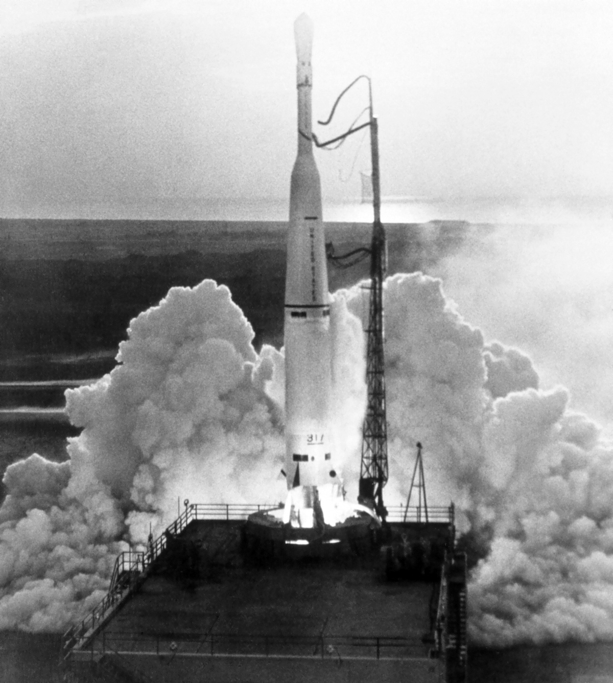
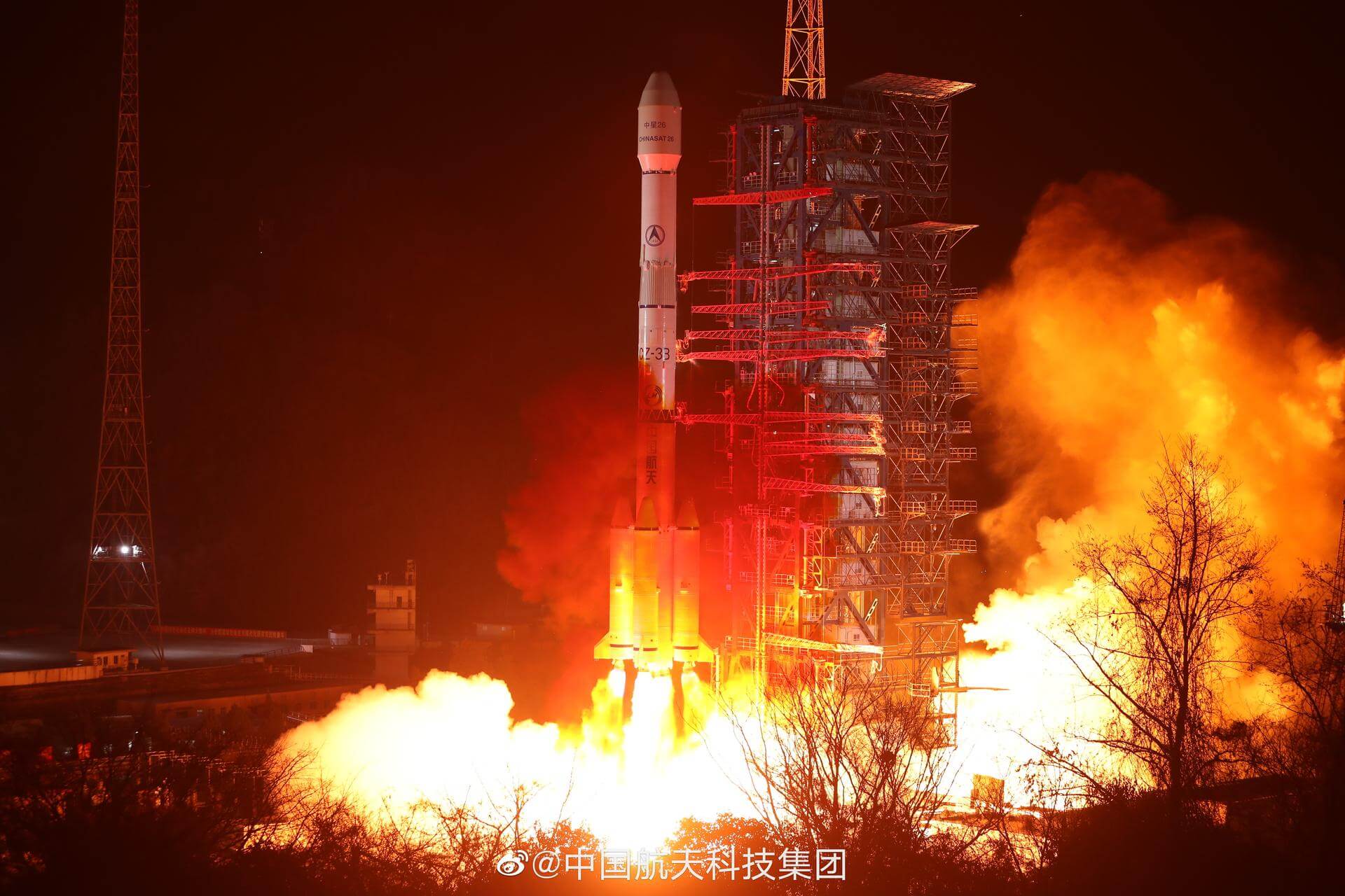
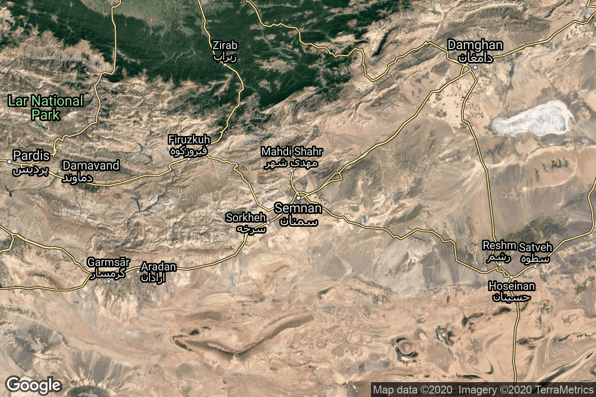
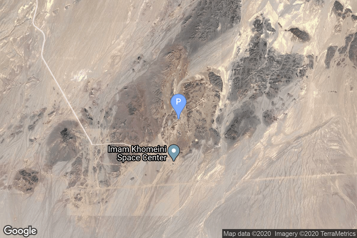
{ "count": 7851, "next": "https://ll.thespacedevs.com/2.2.0/launch/?format=api&limit=10&offset=130&ordering=id", "previous": "https://ll.thespacedevs.com/2.2.0/launch/?format=api&limit=10&offset=110&ordering=id", "results": [ { "id": "03f31be8-7d86-45a5-ba5b-bdeef2dac608", "url": "https://ll.thespacedevs.com/2.2.0/launch/03f31be8-7d86-45a5-ba5b-bdeef2dac608/?format=api", "slug": "thor-delta-telstar-1", "name": "Thor Delta | Telstar 1", "status": { "id": 3, "name": "Launch Successful", "abbrev": "Success", "description": "The launch vehicle successfully inserted its payload(s) into the target orbit(s)." }, "last_updated": "2023-06-14T17:42:57Z", "net": "1962-07-10T08:35:05Z", "window_end": "1962-07-10T08:35:05Z", "window_start": "1962-07-10T08:35:05Z", "net_precision": null, "probability": null, "weather_concerns": null, "holdreason": "", "failreason": null, "hashtag": null, "launch_service_provider": { "id": 161, "url": "https://ll.thespacedevs.com/2.2.0/agencies/161/?format=api", "name": "United States Air Force", "type": "Government" }, "rocket": { "id": 3136, "configuration": { "id": 398, "url": "https://ll.thespacedevs.com/2.2.0/config/launcher/398/?format=api", "name": "Thor Delta", "family": "Thor", "full_name": "Thor Delta", "variant": "Delta" } }, "mission": { "id": 1558, "name": "Telstar 1", "description": "Communications satellite", "launch_designator": null, "type": "Communications", "orbit": { "id": 12, "name": "Medium Earth Orbit", "abbrev": "MEO" }, "agencies": [], "info_urls": [], "vid_urls": [] }, "pad": { "id": 1, "url": "https://ll.thespacedevs.com/2.2.0/pad/1/?format=api", "agency_id": null, "name": "Space Launch Complex 17B", "description": "", "info_url": null, "wiki_url": "https://en.wikipedia.org/wiki/Cape_Canaveral_Space_Launch_Complex_17", "map_url": "https://www.google.com/maps?q=28.4458,-80.5657", "latitude": "28.4458", "longitude": "-80.5657", "location": { "id": 12, "url": "https://ll.thespacedevs.com/2.2.0/location/12/?format=api", "name": "Cape Canaveral SFS, FL, USA", "country_code": "USA", "description": "Cape Canaveral Space Force Station (CCSFS) is an installation of the United States Space Force's Space Launch Delta 45, located on Cape Canaveral in Brevard County, Florida.", "map_image": "https://thespacedevs-prod.nyc3.digitaloceanspaces.com/media/map_images/location_12_20200803142519.jpg", "timezone_name": "America/New_York", "total_launch_count": 1104, "total_landing_count": 72 }, "country_code": "USA", "map_image": "https://thespacedevs-prod.nyc3.digitaloceanspaces.com/media/map_images/pad_1_20200803143208.jpg", "total_launch_count": 132, "orbital_launch_attempt_count": 132 }, "webcast_live": false, "image": "https://thespacedevs-prod.nyc3.digitaloceanspaces.com/media/images/thor-delta_laun_image_20251123094044.jpg", "infographic": null, "program": [], "orbital_launch_attempt_count": 178, "location_launch_attempt_count": 84, "pad_launch_attempt_count": 11, "agency_launch_attempt_count": 96, "orbital_launch_attempt_count_year": 36, "location_launch_attempt_count_year": 12, "pad_launch_attempt_count_year": 3, "agency_launch_attempt_count_year": 25, "type": "normal" }, { "id": "04018d3e-66d3-48c8-88f1-1c0719ae9103", "url": "https://ll.thespacedevs.com/2.2.0/launch/04018d3e-66d3-48c8-88f1-1c0719ae9103/?format=api", "slug": "long-march-3be-nigcomsat-1r", "name": "Long March 3B/E | NigComSat-1R", "status": { "id": 3, "name": "Launch Successful", "abbrev": "Success", "description": "The launch vehicle successfully inserted its payload(s) into the target orbit(s)." }, "last_updated": "2024-06-15T14:33:27Z", "net": "2011-12-19T16:41:03Z", "window_end": "2011-12-19T16:41:03Z", "window_start": "2011-12-19T16:41:03Z", "net_precision": { "id": 0, "name": "Second", "abbrev": "SEC", "description": "The T-0 is accurate to the second." }, "probability": null, "weather_concerns": null, "holdreason": "", "failreason": "", "hashtag": null, "launch_service_provider": { "id": 88, "url": "https://ll.thespacedevs.com/2.2.0/agencies/88/?format=api", "name": "China Aerospace Science and Technology Corporation", "type": "Government" }, "rocket": { "id": 1580, "configuration": { "id": 50, "url": "https://ll.thespacedevs.com/2.2.0/config/launcher/50/?format=api", "name": "Long March 3B/E", "family": "Long March", "full_name": "Long March 3B/E", "variant": "B/E" } }, "mission": null, "pad": { "id": 45, "url": "https://ll.thespacedevs.com/2.2.0/pad/45/?format=api", "agency_id": null, "name": "Launch Complex 2 (LC-2)", "description": "", "info_url": null, "wiki_url": "https://en.wikipedia.org/wiki/Xichang_Satellite_Launch_Center", "map_url": "https://www.google.com/maps?q=28.245504,102.026768", "latitude": "28.245504", "longitude": "102.026768", "location": { "id": 16, "url": "https://ll.thespacedevs.com/2.2.0/location/16/?format=api", "name": "Xichang Satellite Launch Center, People's Republic of China", "country_code": "CHN", "description": "The Xichang Satellite Launch Center is a spaceport in China. It is located in Zeyuan Town, northwest of Xichang, Liangshan Yi Autonomous Prefecture in Sichuan.", "map_image": "https://thespacedevs-prod.nyc3.digitaloceanspaces.com/media/map_images/location_16_20200803142513.jpg", "timezone_name": "Asia/Shanghai", "total_launch_count": 239, "total_landing_count": 0 }, "country_code": "CHN", "map_image": "https://thespacedevs-prod.nyc3.digitaloceanspaces.com/media/map_images/pad_45_20200803143520.jpg", "total_launch_count": 124, "orbital_launch_attempt_count": 124 }, "webcast_live": false, "image": "https://thespacedevs-prod.nyc3.digitaloceanspaces.com/media/images/long2520march_image_20230907120240.jpeg", "infographic": null, "program": [], "orbital_launch_attempt_count": 5186, "location_launch_attempt_count": 70, "pad_launch_attempt_count": 44, "agency_launch_attempt_count": 100, "orbital_launch_attempt_count_year": 80, "location_launch_attempt_count_year": 9, "pad_launch_attempt_count_year": 6, "agency_launch_attempt_count_year": 18, "type": "normal" }, { "id": "04073b47-8f05-404c-9435-6762138b99ca", "url": "https://ll.thespacedevs.com/2.2.0/launch/04073b47-8f05-404c-9435-6762138b99ca/?format=api", "slug": "safir-1b-fajr-2", "name": "Safir 1B | Fajr", "status": { "id": 4, "name": "Launch Failure", "abbrev": "Failure", "description": "Either the launch vehicle did not reach orbit, or the payload(s) failed to separate." }, "last_updated": "2023-06-14T03:54:53Z", "net": "2012-09-22T00:00:00Z", "window_end": "2012-09-22T00:00:00Z", "window_start": "2012-09-22T00:00:00Z", "net_precision": null, "probability": null, "weather_concerns": null, "holdreason": "", "failreason": null, "hashtag": null, "launch_service_provider": { "id": 34, "url": "https://ll.thespacedevs.com/2.2.0/agencies/34/?format=api", "name": "Iranian Space Agency", "type": "Government" }, "rocket": { "id": 1632, "configuration": { "id": 74, "url": "https://ll.thespacedevs.com/2.2.0/config/launcher/74/?format=api", "name": "Safir 1B", "family": "Nodong", "full_name": "Safir 1B", "variant": "1B" } }, "mission": null, "pad": { "id": 58, "url": "https://ll.thespacedevs.com/2.2.0/pad/58/?format=api", "agency_id": null, "name": "Safir Launch Pad", "description": null, "info_url": null, "wiki_url": "https://en.wikipedia.org/wiki/Semnan_Space_Center#Circular_launch_platform", "map_url": "https://www.google.com/maps?q=35.23462,53.920936", "latitude": "35.23462", "longitude": "53.920936", "location": { "id": 2, "url": "https://ll.thespacedevs.com/2.2.0/location/2/?format=api", "name": "Semnan Space Center, Islamic Republic of Iran", "country_code": "IRN", "description": "Semnan Space Center is the primary Iranian spaceport, located 50 km southeast of the city of Semnan in the north of the country.", "map_image": "https://thespacedevs-prod.nyc3.digitaloceanspaces.com/media/map_images/location_2_20200803142458.jpg", "timezone_name": "Asia/Tehran", "total_launch_count": 15, "total_landing_count": 0 }, "country_code": "IRN", "map_image": "https://thespacedevs-prod.nyc3.digitaloceanspaces.com/media/map_images/pad_58_20200803143301.jpg", "total_launch_count": 8, "orbital_launch_attempt_count": 8 }, "webcast_live": false, "image": null, "infographic": null, "program": [], "orbital_launch_attempt_count": 5243, "location_launch_attempt_count": 6, "pad_launch_attempt_count": 6, "agency_launch_attempt_count": 6, "orbital_launch_attempt_count_year": 53, "location_launch_attempt_count_year": 3, "pad_launch_attempt_count_year": 3, "agency_launch_attempt_count_year": 3, "type": "normal" }, { "id": "040d7230-9b68-4d2d-92b3-71db07faed16", "url": "https://ll.thespacedevs.com/2.2.0/launch/040d7230-9b68-4d2d-92b3-71db07faed16/?format=api", "slug": "tsiklon-2-is-gvm-1", "name": "Tsiklon-2 | IS-GVM 1", "status": { "id": 3, "name": "Launch Successful", "abbrev": "Success", "description": "The launch vehicle successfully inserted its payload(s) into the target orbit(s)." }, "last_updated": "2023-06-14T04:24:24Z", "net": "1969-08-06T05:40:03Z", "window_end": "1969-08-06T05:40:03Z", "window_start": "1969-08-06T05:40:03Z", "net_precision": null, "probability": null, "weather_concerns": null, "holdreason": "", "failreason": null, "hashtag": null, "launch_service_provider": { "id": 66, "url": "https://ll.thespacedevs.com/2.2.0/agencies/66/?format=api", "name": "Soviet Space Program", "type": "Government" }, "rocket": { "id": 3929, "configuration": { "id": 443, "url": "https://ll.thespacedevs.com/2.2.0/config/launcher/443/?format=api", "name": "Tsiklon-2", "family": "Tsiklon", "full_name": "Tsiklon-2", "variant": "2" } }, "mission": { "id": 2347, "name": "IS-GVM 1", "description": "Mass model of the I2P interceptor satellites used on Tsiklon-2 test flights", "launch_designator": null, "type": "Test Flight", "orbit": { "id": 8, "name": "Low Earth Orbit", "abbrev": "LEO" }, "agencies": [], "info_urls": [], "vid_urls": [] }, "pad": { "id": 133, "url": "https://ll.thespacedevs.com/2.2.0/pad/133/?format=api", "agency_id": null, "name": "90/19", "description": null, "info_url": null, "wiki_url": "https://en.wikipedia.org/wiki/Baikonur_Cosmodrome_Site_90", "map_url": "https://www.google.com/maps?q=46.081,62.929806", "latitude": "46.081", "longitude": "62.929806", "location": { "id": 15, "url": "https://ll.thespacedevs.com/2.2.0/location/15/?format=api", "name": "Baikonur Cosmodrome, Republic of Kazakhstan", "country_code": "KAZ", "description": "The Baikonur Cosmodrome is a spaceport operated by Russia within Kazakhstan. Located in the Kazakh city of Baikonur, it is the largest operational space launch facility in terms of area. All Russian crewed spaceflights are launched from Baikonur.", "map_image": "https://thespacedevs-prod.nyc3.digitaloceanspaces.com/media/map_images/location_15_20200803142517.jpg", "timezone_name": "Asia/Qyzylorda", "total_launch_count": 1562, "total_landing_count": 0 }, "country_code": "KAZ", "map_image": "https://thespacedevs-prod.nyc3.digitaloceanspaces.com/media/map_images/pad_133_20200803143315.jpg", "total_launch_count": 16, "orbital_launch_attempt_count": 16 }, "webcast_live": false, "image": "https://thespacedevs-prod.nyc3.digitaloceanspaces.com/media/images/tsyklon-2_lifto_image_20240411113159.jpg", "infographic": null, "program": [], "orbital_launch_attempt_count": 997, "location_launch_attempt_count": 269, "pad_launch_attempt_count": 6, "agency_launch_attempt_count": 418, "orbital_launch_attempt_count_year": 78, "location_launch_attempt_count_year": 24, "pad_launch_attempt_count_year": 2, "agency_launch_attempt_count_year": 47, "type": "normal" }, { "id": "04106da6-a43c-4fcf-9cae-4e97dfb37345", "url": "https://ll.thespacedevs.com/2.2.0/launch/04106da6-a43c-4fcf-9cae-4e97dfb37345/?format=api", "slug": "falcon-9-v10-spacex-cots-demo-flight-1", "name": "Falcon 9 v1.0 | SpaceX COTS Demo Flight 1", "status": { "id": 3, "name": "Launch Successful", "abbrev": "Success", "description": "The launch vehicle successfully inserted its payload(s) into the target orbit(s)." }, "last_updated": "2025-12-08T19:52:40Z", "net": "2010-12-08T15:43:00Z", "window_end": "2010-12-08T15:43:00Z", "window_start": "2010-12-08T15:43:00Z", "net_precision": null, "probability": null, "weather_concerns": null, "holdreason": "", "failreason": "", "hashtag": null, "launch_service_provider": { "id": 121, "url": "https://ll.thespacedevs.com/2.2.0/agencies/121/?format=api", "name": "SpaceX", "type": "Commercial" }, "rocket": { "id": 1501, "configuration": { "id": 169, "url": "https://ll.thespacedevs.com/2.2.0/config/launcher/169/?format=api", "name": "Falcon 9", "family": "Falcon", "full_name": "Falcon 9 v1.0", "variant": "v1.0" } }, "mission": { "id": 409, "name": "SpaceX COTS Demo Flight 1", "description": "SpaceX COTS Demo Flight 1 in 2010 was the unmanned first spaceflight of the SpaceX Dragon spacecraft, the Dragon C1, which orbited the Earth, and the second overall flight of the SpaceX Falcon 9. It was also the first demonstration flight for NASA's Commercial Orbital Transportation Services (COTS) program for which SpaceX was selected. The primary mission objectives were to test the orbital maneuvering and reentry of the Dragon capsule.", "launch_designator": null, "type": "Test Flight", "orbit": { "id": 8, "name": "Low Earth Orbit", "abbrev": "LEO" }, "agencies": [], "info_urls": [], "vid_urls": [] }, "pad": { "id": 80, "url": "https://ll.thespacedevs.com/2.2.0/pad/80/?format=api", "agency_id": 121, "name": "Space Launch Complex 40", "description": "", "info_url": null, "wiki_url": "https://en.wikipedia.org/wiki/Cape_Canaveral_Air_Force_Station_Space_Launch_Complex_40", "map_url": "https://www.google.com/maps?q=28.56194122,-80.57735736", "latitude": "28.56194122", "longitude": "-80.57735736", "location": { "id": 12, "url": "https://ll.thespacedevs.com/2.2.0/location/12/?format=api", "name": "Cape Canaveral SFS, FL, USA", "country_code": "USA", "description": "Cape Canaveral Space Force Station (CCSFS) is an installation of the United States Space Force's Space Launch Delta 45, located on Cape Canaveral in Brevard County, Florida.", "map_image": "https://thespacedevs-prod.nyc3.digitaloceanspaces.com/media/map_images/location_12_20200803142519.jpg", "timezone_name": "America/New_York", "total_launch_count": 1104, "total_landing_count": 72 }, "country_code": "USA", "map_image": "https://thespacedevs-prod.nyc3.digitaloceanspaces.com/media/map_images/pad_80_20200803143323.jpg", "total_launch_count": 379, "orbital_launch_attempt_count": 379 }, "webcast_live": false, "image": "https://thespacedevs-prod.nyc3.digitaloceanspaces.com/media/images/falcon252092520v1.0_image_20190222030703.jpeg", "infographic": null, "program": [], "orbital_launch_attempt_count": 5101, "location_launch_attempt_count": 676, "pad_launch_attempt_count": 57, "agency_launch_attempt_count": 7, "orbital_launch_attempt_count_year": 69, "location_launch_attempt_count_year": 8, "pad_launch_attempt_count_year": 2, "agency_launch_attempt_count_year": 2, "type": "normal" }, { "id": "041184c7-1117-4b83-9f99-6d26c865d63d", "url": "https://ll.thespacedevs.com/2.2.0/launch/041184c7-1117-4b83-9f99-6d26c865d63d/?format=api", "slug": "thorad-slv-2g-agena-d-kh-4a-43", "name": "Thorad SLV-2G Agena D | KH-4A 43", "status": { "id": 3, "name": "Launch Successful", "abbrev": "Success", "description": "The launch vehicle successfully inserted its payload(s) into the target orbit(s)." }, "last_updated": "2023-06-14T04:18:43Z", "net": "1967-08-07T21:44:00Z", "window_end": "1967-08-07T21:44:00Z", "window_start": "1967-08-07T21:44:00Z", "net_precision": null, "probability": null, "weather_concerns": null, "holdreason": "", "failreason": null, "hashtag": null, "launch_service_provider": { "id": 161, "url": "https://ll.thespacedevs.com/2.2.0/agencies/161/?format=api", "name": "United States Air Force", "type": "Government" }, "rocket": { "id": 3691, "configuration": { "id": 418, "url": "https://ll.thespacedevs.com/2.2.0/config/launcher/418/?format=api", "name": "Thorad SLV-2G Agena D", "family": "Thor", "full_name": "Thorad SLV-2G Agena D", "variant": "SLV-2G Agena D" } }, "mission": { "id": 2109, "name": "KH-4A 43", "description": "The KH-4A (Keyhole-4A) was the fifth optical reconnaissance satellite version in the Corona-program.", "launch_designator": null, "type": "Government/Top Secret", "orbit": { "id": 8, "name": "Low Earth Orbit", "abbrev": "LEO" }, "agencies": [], "info_urls": [], "vid_urls": [] }, "pad": { "id": 96, "url": "https://ll.thespacedevs.com/2.2.0/pad/96/?format=api", "agency_id": 161, "name": "Space Launch Complex 1E", "description": "Space Launch Complex 1 East (SLC-1E) was a launch pad at Vandenberg Space Force Base in California, United States. It was built in 1958 for the never activated 75th Strategic Missile Squadron for Thor Agena A launches.", "info_url": null, "wiki_url": "https://en.wikipedia.org/wiki/Vandenberg_Space_Launch_Complex_1", "map_url": "https://www.google.com/maps?q=34.756,-120.6263", "latitude": "34.756", "longitude": "-120.6263", "location": { "id": 11, "url": "https://ll.thespacedevs.com/2.2.0/location/11/?format=api", "name": "Vandenberg SFB, CA, USA", "country_code": "USA", "description": "Vandenberg Space Force Base is a United States Space Force Base in Santa Barbara County, California. Established in 1941, Vandenberg Space Force Base is a space launch base, launching spacecraft from the Western Range, and also performs missile testing. The United States Space Force's Space Launch Delta 30 serves as the host delta for the base, equivalent to an Air Force air base wing. In addition to its military space launch mission, Vandenberg Space Force Base also hosts space launches for civil and commercial space entities, such as NASA and SpaceX.", "map_image": "https://thespacedevs-prod.nyc3.digitaloceanspaces.com/media/map_images/location_11_20200803142416.jpg", "timezone_name": "America/Los_Angeles", "total_launch_count": 878, "total_landing_count": 33 }, "country_code": "USA", "map_image": "https://thespacedevs-prod.nyc3.digitaloceanspaces.com/media/map_images/pad_96_20200803143221.jpg", "total_launch_count": 45, "orbital_launch_attempt_count": 45 }, "webcast_live": false, "image": "https://thespacedevs-prod.nyc3.digitaloceanspaces.com/media/images/thorad-slv2g_ag_image_20251102061406.jpg", "infographic": null, "program": [], "orbital_launch_attempt_count": 733, "location_launch_attempt_count": 273, "pad_launch_attempt_count": 40, "agency_launch_attempt_count": 412, "orbital_launch_attempt_count_year": 85, "location_launch_attempt_count_year": 28, "pad_launch_attempt_count_year": 2, "agency_launch_attempt_count_year": 40, "type": "normal" }, { "id": "04154b70-045b-4e3a-bb5a-e5436091ba37", "url": "https://ll.thespacedevs.com/2.2.0/launch/04154b70-045b-4e3a-bb5a-e5436091ba37/?format=api", "slug": "electron-victus-haze-puma", "name": "Electron | VICTUS HAZE Puma", "status": { "id": 2, "name": "To Be Determined", "abbrev": "TBD", "description": "Current date is a placeholder or rough estimation based on unreliable or interpreted sources." }, "last_updated": "2026-01-28T18:55:37Z", "net": "2026-06-30T00:00:00Z", "window_end": "2026-06-30T00:00:00Z", "window_start": "2026-06-30T00:00:00Z", "net_precision": { "id": 12, "name": "Year Half 1", "abbrev": "H1", "description": "The T-0 is expected in the first half of the given year." }, "probability": null, "weather_concerns": null, "holdreason": "", "failreason": "", "hashtag": null, "launch_service_provider": { "id": 147, "url": "https://ll.thespacedevs.com/2.2.0/agencies/147/?format=api", "name": "Rocket Lab", "type": "Commercial" }, "rocket": { "id": 8384, "configuration": { "id": 26, "url": "https://ll.thespacedevs.com/2.2.0/config/launcher/26/?format=api", "name": "Electron", "family": "", "full_name": "Electron", "variant": "" } }, "mission": { "id": 6965, "name": "VICTUS HAZE Puma", "description": "VICTUS HAZE will see Rocket Lab design, build, launch, and operate a rendezvous proximity operation (RPO) capable spacecraft. U.S. Space Force Space Systems Command (SSC)’s Space Safari’s VICTUS HAZE mission will be an exercise of a realistic threat-response scenario and on-orbit space domain awareness (SDA) demonstration. Once the spacecraft build is complete, Rocket Lab will be entered into a Hot Standby Phase awaiting further direction. Once the exercise begins, Rocket Lab will be given notice to launch the spacecraft into a target orbit. After reaching orbit, the spacecraft will be rapidly commissioned and readied for operations. Rocket Lab will configure a Pioneer class spacecraft bus to meet the unique requirements of the VICTUS HAZE mission.\r\n\r\nThe mission will improve Tactically Responsive Space (TacRS) processes and timelines, demonstrating the ability to respond to on-orbit threats on very short timelines and validating techniques for space domain awareness (SDA) and on-orbit characterization. Rocket Lab’s constellation-class production capability and discriminating technical capabilities in the areas of in-space propulsion, precision attitude control, low latency communications, and autonomous operations are key enablers for this mission.", "launch_designator": null, "type": "Government/Top Secret", "orbit": { "id": 8, "name": "Low Earth Orbit", "abbrev": "LEO" }, "agencies": [], "info_urls": [], "vid_urls": [] }, "pad": { "id": 210, "url": "https://ll.thespacedevs.com/2.2.0/pad/210/?format=api", "agency_id": null, "name": "Unknown Pad", "description": null, "info_url": null, "wiki_url": null, "map_url": null, "latitude": "-39.260881", "longitude": "177.865826", "location": { "id": 10, "url": "https://ll.thespacedevs.com/2.2.0/location/10/?format=api", "name": "Rocket Lab Launch Complex 1, Mahia Peninsula, New Zealand", "country_code": "NZL", "description": "Rocket Lab Launch Complex 1 is a commercial spaceport located close to Ahuriri Point at the southern tip of Māhia Peninsula, on the east coast of New Zealand's North Island. It is owned and operated by private spaceflight company Rocket Lab and supports launches of the company's Electron rocket for small satellites. With the launch of Electron on 25 May 2017, it became the first private spaceport to host an orbital launch attempt, and the first site in New Zealand to host an orbital launch attempt. With the Electron launch of 21 January 2018, it became the first private spaceport to host a successful orbital launch.", "map_image": "https://thespacedevs-prod.nyc3.digitaloceanspaces.com/media/map_images/location_10_20200803142509.jpg", "timezone_name": "Pacific/Auckland", "total_launch_count": 75, "total_landing_count": 17 }, "country_code": "NZL", "map_image": "https://thespacedevs-prod.nyc3.digitaloceanspaces.com/media/map_images/pad_210_20230819165718.jpg", "total_launch_count": 0, "orbital_launch_attempt_count": 0 }, "webcast_live": false, "image": "https://thespacedevs-prod.nyc3.digitaloceanspaces.com/media/images/electron_image_20190705175640.jpeg", "infographic": null, "program": [], "orbital_launch_attempt_count": 7319, "location_launch_attempt_count": 79, "pad_launch_attempt_count": 4, "agency_launch_attempt_count": 91, "orbital_launch_attempt_count_year": 146, "location_launch_attempt_count_year": 10, "pad_launch_attempt_count_year": 4, "agency_launch_attempt_count_year": 12, "type": "normal" }, { "id": "0415b7cb-09a9-4d6c-b0a6-2af7a93674e4", "url": "https://ll.thespacedevs.com/2.2.0/launch/0415b7cb-09a9-4d6c-b0a6-2af7a93674e4/?format=api", "slug": "ariane-44l-sicral-1", "name": "Ariane 44L | SICRAL 1", "status": { "id": 3, "name": "Launch Successful", "abbrev": "Success", "description": "The launch vehicle successfully inserted its payload(s) into the target orbit(s)." }, "last_updated": "2023-06-14T04:22:24Z", "net": "2001-02-07T23:05:10Z", "window_end": "2001-02-07T23:05:10Z", "window_start": "2001-02-07T23:05:10Z", "net_precision": null, "probability": null, "weather_concerns": null, "holdreason": "", "failreason": null, "hashtag": null, "launch_service_provider": { "id": 115, "url": "https://ll.thespacedevs.com/2.2.0/agencies/115/?format=api", "name": "Arianespace", "type": "Commercial" }, "rocket": { "id": 7033, "configuration": { "id": 225, "url": "https://ll.thespacedevs.com/2.2.0/config/launcher/225/?format=api", "name": "Ariane 44L", "family": "Ariane", "full_name": "Ariane 44L", "variant": "44L" } }, "mission": { "id": 5422, "name": "SICRAL 1", "description": "Sicral 1 is Italy’s satellite system for military communications.", "launch_designator": null, "type": "Government/Top Secret", "orbit": { "id": 3, "name": "Geosynchronous Orbit", "abbrev": "GSO" }, "agencies": [], "info_urls": [], "vid_urls": [] }, "pad": { "id": 124, "url": "https://ll.thespacedevs.com/2.2.0/pad/124/?format=api", "agency_id": 115, "name": "Ariane Launch Area 2", "description": "The ELA-2 pad, built in 1986, had been used for Ariane 4 launches from 1988 until 2003. Before 1988, although purpose-built for Ariane 4, the pad hosted an Ariane-2 and two Ariane-3 launches.", "info_url": null, "wiki_url": "https://en.wikipedia.org/wiki/ELA-2", "map_url": "https://www.google.com/maps?q=5.232,-52.778194", "latitude": "5.232", "longitude": "-52.778194", "location": { "id": 13, "url": "https://ll.thespacedevs.com/2.2.0/location/13/?format=api", "name": "Guiana Space Centre, French Guiana", "country_code": "GUF", "description": "The Guiana Space Centre is a European spaceport to the northwest of Kourou in French Guiana, a region of France in South America. Kourou is located at a latitude of 5°. In operation since 1968, it is a suitable location for a spaceport because of its equatorial location and open sea to the east.", "map_image": "https://thespacedevs-prod.nyc3.digitaloceanspaces.com/media/map_images/location_13_20200803142412.jpg", "timezone_name": "America/Cayenne", "total_launch_count": 331, "total_landing_count": 0 }, "country_code": "GUF", "map_image": "https://thespacedevs-prod.nyc3.digitaloceanspaces.com/media/map_images/pad_124_20200803143241.jpg", "total_launch_count": 119, "orbital_launch_attempt_count": 119 }, "webcast_live": false, "image": "https://thespacedevs-prod.nyc3.digitaloceanspaces.com/media/images/ariane_44l_at_e_image_20240401082337.jpg", "infographic": null, "program": [], "orbital_launch_attempt_count": 4457, "location_launch_attempt_count": 148, "pad_launch_attempt_count": 106, "agency_launch_attempt_count": 135, "orbital_launch_attempt_count_year": 5, "location_launch_attempt_count_year": 2, "pad_launch_attempt_count_year": 2, "agency_launch_attempt_count_year": 2, "type": "normal" }, { "id": "04165775-2818-4f44-93fe-3910d51e6eb9", "url": "https://ll.thespacedevs.com/2.2.0/launch/04165775-2818-4f44-93fe-3910d51e6eb9/?format=api", "slug": "kosmos-11k63-ds-p1-i-5", "name": "Kosmos 11K63 | DS-P1-I 5", "status": { "id": 3, "name": "Launch Successful", "abbrev": "Success", "description": "The launch vehicle successfully inserted its payload(s) into the target orbit(s)." }, "last_updated": "2023-06-14T03:31:51Z", "net": "1969-03-28T16:00:08Z", "window_end": "1969-03-28T16:00:08Z", "window_start": "1969-03-28T16:00:08Z", "net_precision": null, "probability": null, "weather_concerns": null, "holdreason": "", "failreason": null, "hashtag": null, "launch_service_provider": { "id": 66, "url": "https://ll.thespacedevs.com/2.2.0/agencies/66/?format=api", "name": "Soviet Space Program", "type": "Government" }, "rocket": { "id": 3892, "configuration": { "id": 327, "url": "https://ll.thespacedevs.com/2.2.0/config/launcher/327/?format=api", "name": "Kosmos 11K63", "family": "Kosmos", "full_name": "Kosmos 11K63", "variant": "11K63" } }, "mission": { "id": 2310, "name": "DS-P1-I 5", "description": "The DS-P1-I series of satellites was used to calibrate space surveillance and early warning radars.", "launch_designator": null, "type": "Test Target", "orbit": { "id": 8, "name": "Low Earth Orbit", "abbrev": "LEO" }, "agencies": [], "info_urls": [], "vid_urls": [] }, "pad": { "id": 3, "url": "https://ll.thespacedevs.com/2.2.0/pad/3/?format=api", "agency_id": 163, "name": "133/3 (133L)", "description": null, "info_url": null, "wiki_url": "", "map_url": "https://www.google.com/maps?q=62.886999,40.846984", "latitude": "62.886999", "longitude": "40.846984", "location": { "id": 6, "url": "https://ll.thespacedevs.com/2.2.0/location/6/?format=api", "name": "Plesetsk Cosmodrome, Russian Federation", "country_code": "RUS", "description": "Plesetsk Cosmodrome is a Russian spaceport located in Mirny, Arkhangelsk Oblast, about 800 km north of Moscow and approximately 200 km south of Arkhangelsk. Originally developed as an ICBM site for the R-7 missile, it also served for numerous satellite launches using the R-7 and other rockets. Its high latitude makes it useful only for certain types of launches, especially the Molniya orbits, so for much of the site's history it functioned as a secondary location, with most orbital launches taking place from Baikonur, in the Kazakh SSR. With the end of the Soviet Union, Baikonur became a foreign territory, and Kazakhstan charged $115 million usage fees annually. Consequently, Plesetsk has seen considerably more activity since the 2000s.", "map_image": "https://thespacedevs-prod.nyc3.digitaloceanspaces.com/media/map_images/location_6_20200803142434.jpg", "timezone_name": "Europe/Moscow", "total_launch_count": 1685, "total_landing_count": 0 }, "country_code": "RUS", "map_image": "https://thespacedevs-prod.nyc3.digitaloceanspaces.com/media/map_images/pad_3_20200803143438.jpg", "total_launch_count": 159, "orbital_launch_attempt_count": 159 }, "webcast_live": false, "image": "https://thespacedevs-prod.nyc3.digitaloceanspaces.com/media/images/kosmos_11k63_image_20251104091702.jpg", "infographic": null, "program": [], "orbital_launch_attempt_count": 956, "location_launch_attempt_count": 79, "pad_launch_attempt_count": 16, "agency_launch_attempt_count": 395, "orbital_launch_attempt_count_year": 37, "location_launch_attempt_count_year": 11, "pad_launch_attempt_count_year": 2, "agency_launch_attempt_count_year": 24, "type": "normal" }, { "id": "0418fae1-1826-4970-a732-bda2bb679daf", "url": "https://ll.thespacedevs.com/2.2.0/launch/0418fae1-1826-4970-a732-bda2bb679daf/?format=api", "slug": "minotaur-i-tacsat-3", "name": "Minotaur I | Tacsat 3", "status": { "id": 3, "name": "Launch Successful", "abbrev": "Success", "description": "The launch vehicle successfully inserted its payload(s) into the target orbit(s)." }, "last_updated": "2023-06-14T03:54:50Z", "net": "2009-05-19T23:55:00Z", "window_end": "2009-05-19T23:55:00Z", "window_start": "2009-05-19T23:55:00Z", "net_precision": null, "probability": null, "weather_concerns": null, "holdreason": "", "failreason": null, "hashtag": null, "launch_service_provider": { "id": 100, "url": "https://ll.thespacedevs.com/2.2.0/agencies/100/?format=api", "name": "Orbital Sciences Corporation", "type": "Commercial" }, "rocket": { "id": 7394, "configuration": { "id": 175, "url": "https://ll.thespacedevs.com/2.2.0/config/launcher/175/?format=api", "name": "Minotaur I", "family": "Minotaur", "full_name": "Minotaur I", "variant": "" } }, "mission": { "id": 5783, "name": "Tacsat 3", "description": "American eyperimental imaging satellite part of an effort to develop modular spacecraft buses.", "launch_designator": null, "type": "Technology", "orbit": { "id": 8, "name": "Low Earth Orbit", "abbrev": "LEO" }, "agencies": [], "info_urls": [], "vid_urls": [] }, "pad": { "id": 56, "url": "https://ll.thespacedevs.com/2.2.0/pad/56/?format=api", "agency_id": 44, "name": "Launch Area 0 B", "description": "LP-0B became operational in 1999,and was subsequently upgraded in 2003 with the construction of a mobile service tower, which was completed in 2004. It is active, and is currently used by Northrop Grumman Minotaur rockets. The first launch from LP-0B was of a Minotaur I in December 2006, and was the first launch from the Mid-Atlantic Regional Spaceport.", "info_url": null, "wiki_url": "https://en.wikipedia.org/wiki/Mid-Atlantic_Regional_Spaceport_Launch_Pad_0#Pad-0B", "map_url": "https://www.google.com/maps?q=37.831,-75.4911", "latitude": "37.831", "longitude": "-75.4911", "location": { "id": 21, "url": "https://ll.thespacedevs.com/2.2.0/location/21/?format=api", "name": "Wallops Flight Facility, Virginia, USA", "country_code": "USA", "description": "Wallops Flight Facility is a rocket launch site on Wallops Island on the Eastern Shore of Virginia, United States, just east of the Delmarva Peninsula and north-northeast of Norfolk. The facility is operated by the Goddard Space Flight Center in Greenbelt, Maryland, and primarily serves to support science and exploration missions for NASA and other federal agencies. WFF includes an extensively instrumented range to support launches of more than a dozen types of sounding rockets; small expendable suborbital and orbital rockets; high-altitude balloon flights carrying scientific instruments for atmospheric and astronomical research; and, using its Research Airport, flight tests of aeronautical research aircraft, including uncrewed aerial vehicles.", "map_image": "https://thespacedevs-prod.nyc3.digitaloceanspaces.com/media/map_images/location_21_20200803142423.jpg", "timezone_name": "America/New_York", "total_launch_count": 86, "total_landing_count": 0 }, "country_code": "USA", "map_image": "https://thespacedevs-prod.nyc3.digitaloceanspaces.com/media/map_images/pad_56_20200803143541.jpg", "total_launch_count": 8, "orbital_launch_attempt_count": 8 }, "webcast_live": false, "image": "https://thespacedevs-prod.nyc3.digitaloceanspaces.com/media/images/minotaur2520i_image_20190224012247.jpeg", "infographic": null, "program": [], "orbital_launch_attempt_count": 4984, "location_launch_attempt_count": 51, "pad_launch_attempt_count": 3, "agency_launch_attempt_count": 57, "orbital_launch_attempt_count_year": 30, "location_launch_attempt_count_year": 1, "pad_launch_attempt_count_year": 1, "agency_launch_attempt_count_year": 2, "type": "normal" } ] }