Upcoming Launch List
API endpoint that returns future Launch objects and launches from the last twenty four hours.
GET: Return a list of future Launches
FILTERS: Fields - 'name', 'id(s)', 'lsp_id', 'lsp_name', 'launcher_config__id',
MODE: 'normal', 'list', 'detailed' EXAMPLE: ?mode=list
SEARCH: Searches through the launch name, rocket name, launch agency and mission name. EXAMPLE - ?search=SpaceX
GET /2.0.0/launch/upcoming/?format=api&offset=90&ordering=-id
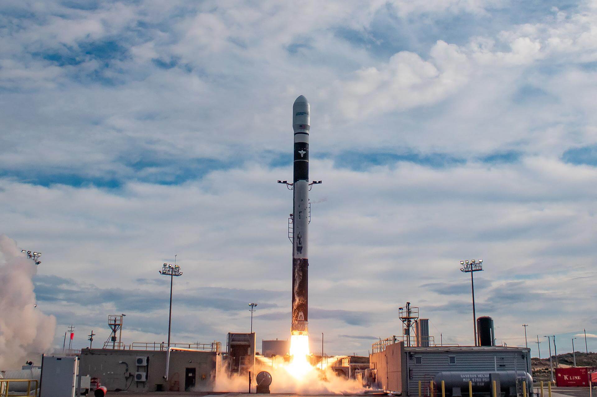
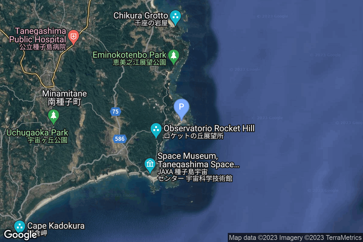
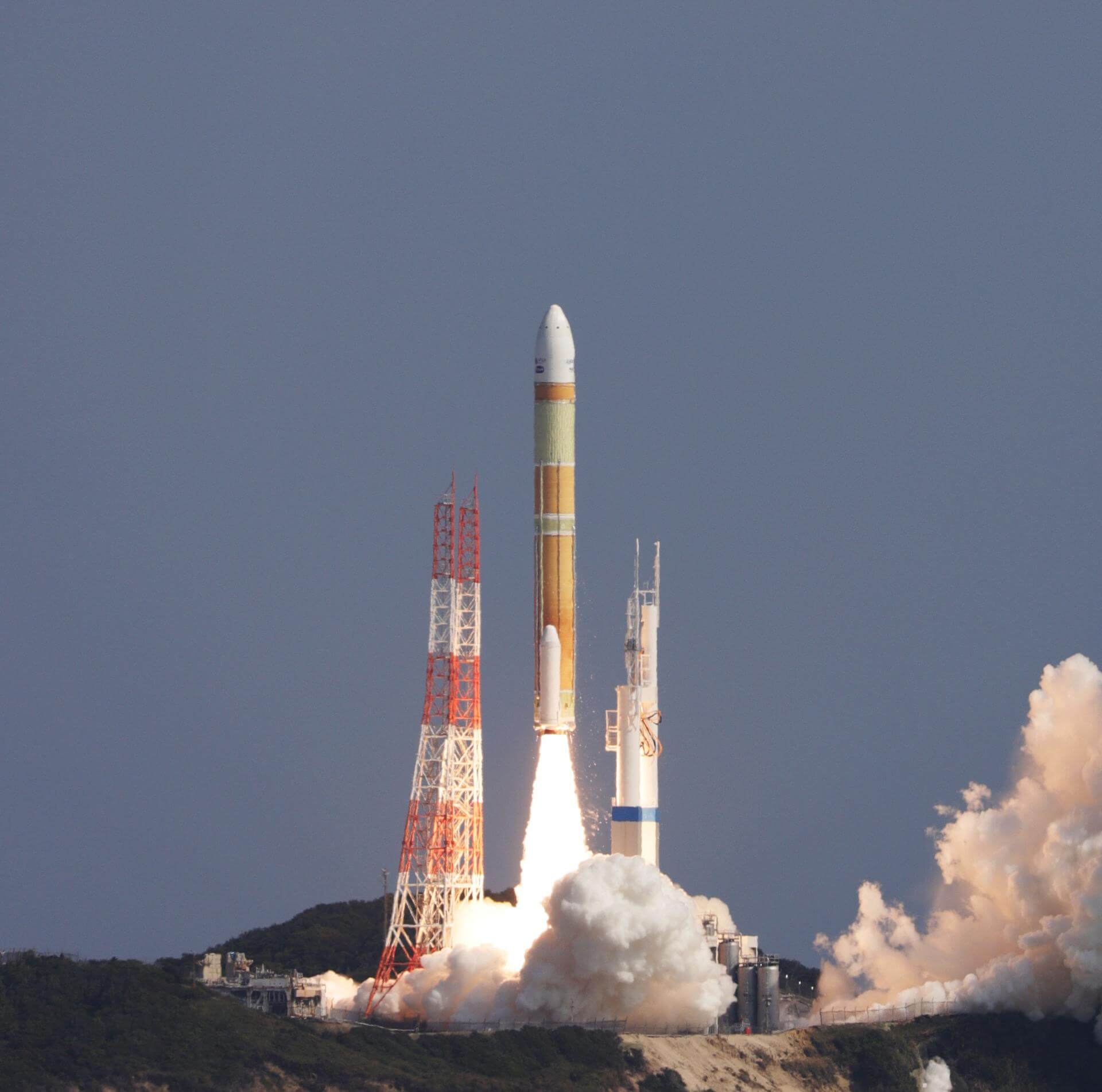
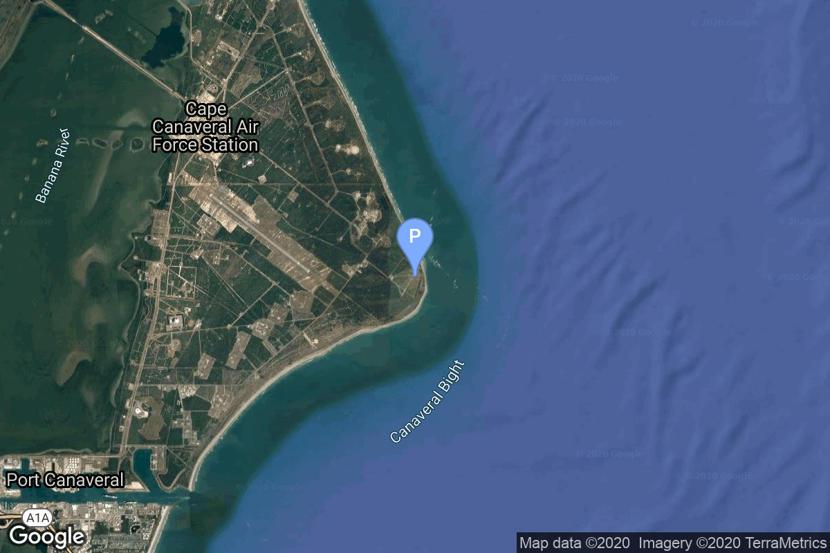
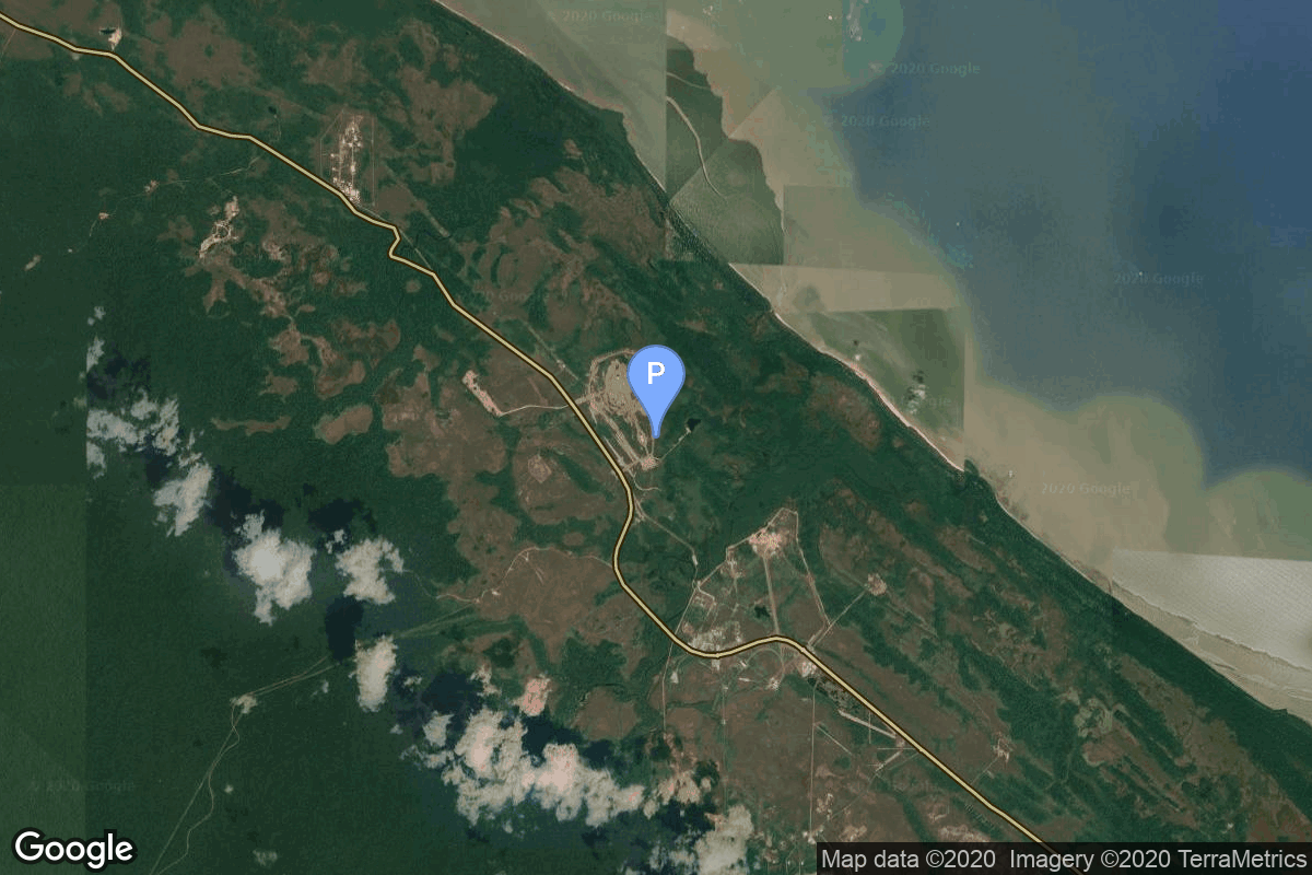
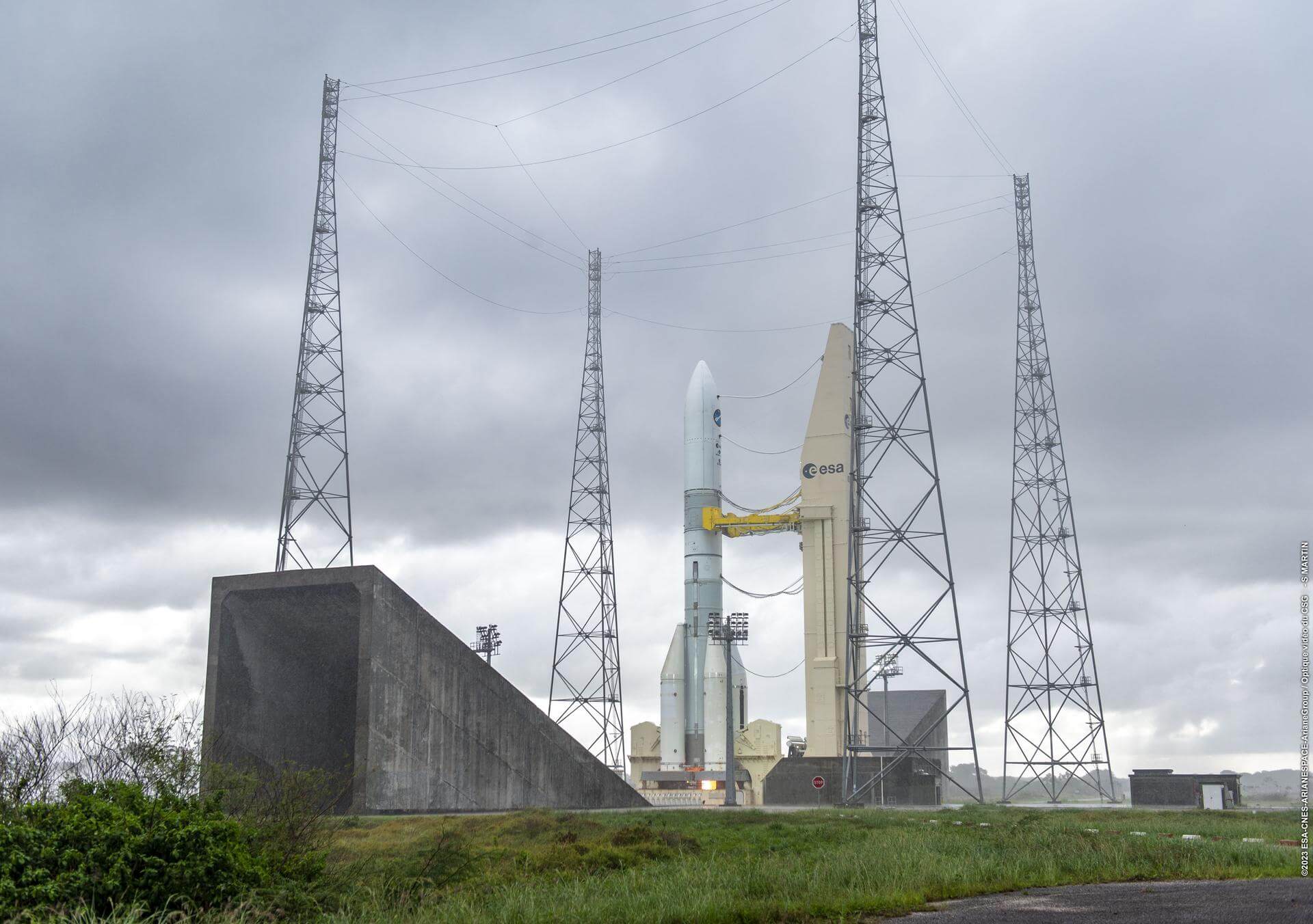
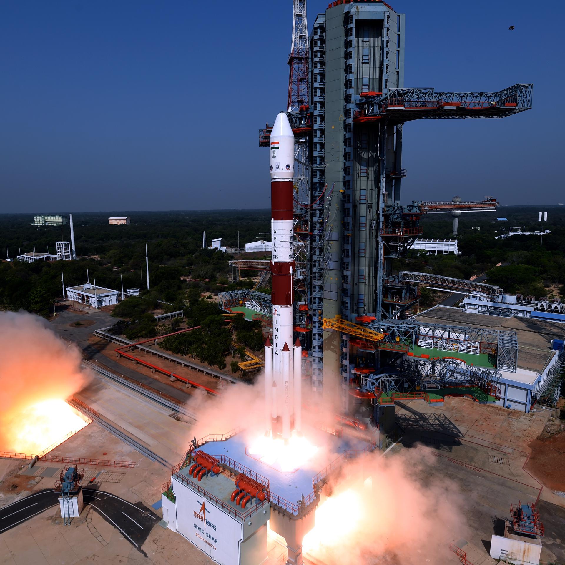
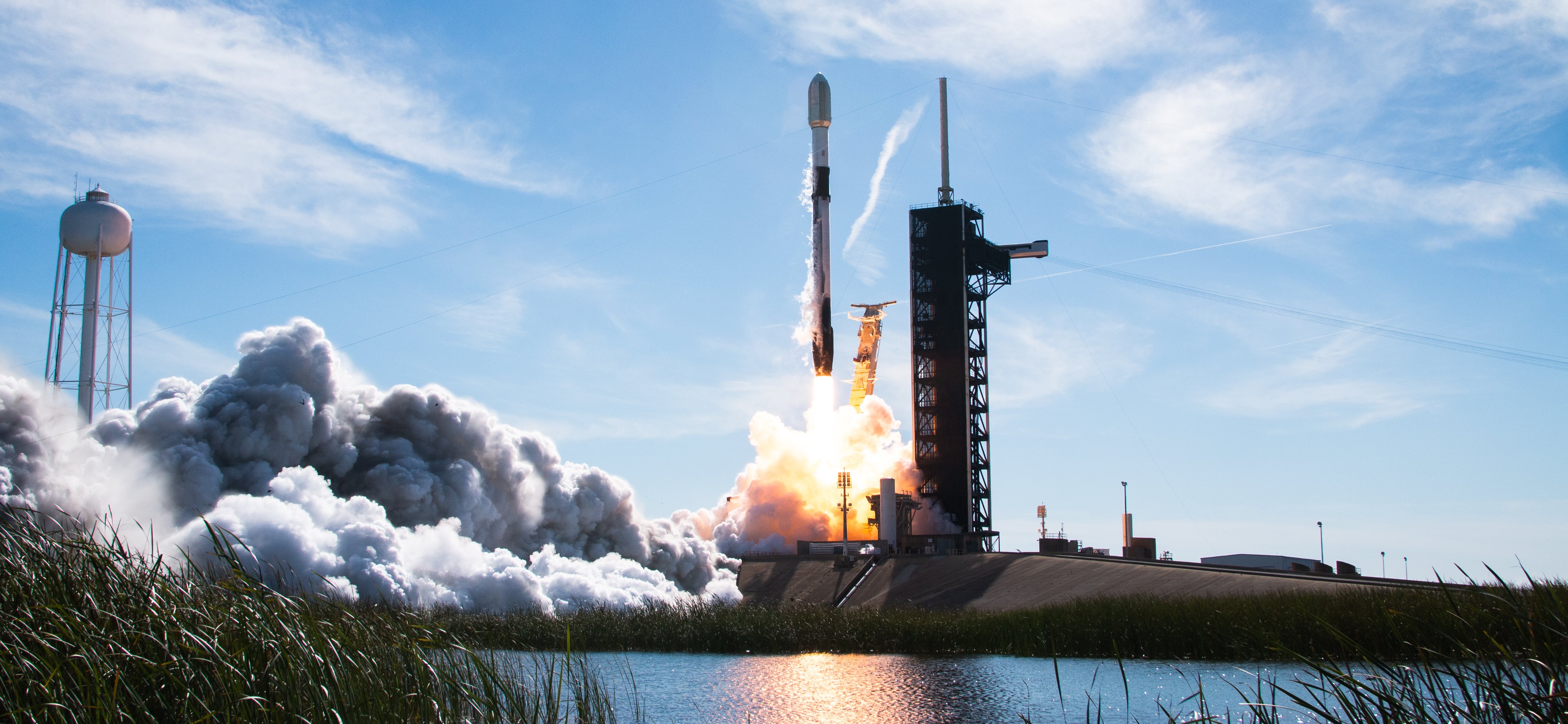
{ "count": 337, "next": "https://ll.thespacedevs.com/2.0.0/launch/upcoming/?format=api&limit=10&offset=100&ordering=-id", "previous": "https://ll.thespacedevs.com/2.0.0/launch/upcoming/?format=api&limit=10&offset=80&ordering=-id", "results": [ { "id": "b94b49fc-5784-4dfd-92e7-07e57f50edcd", "url": "https://ll.thespacedevs.com/2.0.0/launch/b94b49fc-5784-4dfd-92e7-07e57f50edcd/?format=api", "launch_library_id": null, "slug": "firefly-alpha-tacsat", "name": "Firefly Alpha | TacSat", "status": { "id": 2, "name": "TBD" }, "net": "2025-12-31T00:00:00Z", "window_end": "2025-12-31T00:00:00Z", "window_start": "2025-12-31T00:00:00Z", "inhold": false, "tbdtime": true, "tbddate": true, "probability": null, "holdreason": "", "failreason": "", "hashtag": null, "launch_service_provider": { "id": 265, "url": "https://ll.thespacedevs.com/2.0.0/agencies/265/?format=api", "name": "Firefly Aerospace", "type": "Commercial" }, "rocket": { "id": 8258, "configuration": { "id": 179, "launch_library_id": 216, "url": "https://ll.thespacedevs.com/2.0.0/config/launcher/179/?format=api", "name": "Firefly Alpha", "family": "", "full_name": "Firefly Alpha", "variant": "" } }, "mission": { "id": 6839, "launch_library_id": null, "name": "TacSat", "description": "First of up to 25 launches of Low Earth Orbit technology demonstration satellites to be built and operated by Lockheed Martin. \r\n\r\nTacSat is an intelligence, surveillance and reconnaissance spacecraft with a mission to prove specialized sensing and communications capabilities on orbit. The satellite will participate in exercises that highlight cross-domain kill-web connectivity, enabling timely execution of tactical space missions.\r\n\r\nTacSat will host a proven Lockheed Martin infrared sensor on board that brings previously developed technology to space for the first time. This sensor produces high quality imagery and it can interface with federated Battle Management Command & Control (BMC2) combat systems to provide joint forces with a comprehensive view of threats.\r\n\r\nThe satellite will also feature Lockheed Martin’s first 5G.MIL® payload on orbit. This provides cellular-like networking for military space assets, making satellite constellations more resilient. It also helps enable seamless connectivity with tools in the air, at sea and on land.\r\n\r\nLaunch operation will also again demonstrate responsive space pre-launch operation capabilities.", "launch_designator": null, "type": "Technology", "orbit": { "id": 8, "name": "Low Earth Orbit", "abbrev": "LEO" } }, "pad": { "id": 39, "url": "https://ll.thespacedevs.com/2.0.0/pad/39/?format=api", "agency_id": null, "name": "Space Launch Complex 2W", "info_url": null, "wiki_url": "https://en.wikipedia.org/wiki/Vandenberg_Space_Launch_Complex_2", "map_url": "https://www.google.com/maps?q=34.7556,-120.6224", "latitude": "34.7556", "longitude": "-120.6224", "location": { "id": 11, "url": "https://ll.thespacedevs.com/2.0.0/location/11/?format=api", "name": "Vandenberg SFB, CA, USA", "country_code": "USA", "map_image": "https://thespacedevs-prod.nyc3.digitaloceanspaces.com/media/map_images/location_11_20200803142416.jpg", "total_launch_count": 804, "total_landing_count": 26 }, "map_image": "https://thespacedevs-prod.nyc3.digitaloceanspaces.com/media/map_images/pad_39_20200803143542.jpg", "total_launch_count": 98 }, "webcast_live": false, "image": "https://thespacedevs-prod.nyc3.digitaloceanspaces.com/media/images/firefly_alpha_l_image_20240605174156.jpeg", "infographic": null, "program": [] }, { "id": "b89ab080-66c3-4831-85a9-38d85da71d30", "url": "https://ll.thespacedevs.com/2.0.0/launch/b89ab080-66c3-4831-85a9-38d85da71d30/?format=api", "launch_library_id": null, "slug": "h3-22-michibiki-7-qzs-7", "name": "H3-22 | Michibiki 7 (QZS-7)", "status": { "id": 2, "name": "TBD" }, "net": "2025-12-31T00:00:00Z", "window_end": "2025-12-31T00:00:00Z", "window_start": "2025-12-31T00:00:00Z", "inhold": false, "tbdtime": true, "tbddate": true, "probability": null, "holdreason": "", "failreason": "", "hashtag": null, "launch_service_provider": { "id": 98, "url": "https://ll.thespacedevs.com/2.0.0/agencies/98/?format=api", "name": "Mitsubishi Heavy Industries", "type": "Commercial" }, "rocket": { "id": 7768, "configuration": { "id": 486, "launch_library_id": null, "url": "https://ll.thespacedevs.com/2.0.0/config/launcher/486/?format=api", "name": "H3-22", "family": "H3", "full_name": "H3-22", "variant": "22" } }, "mission": { "id": 6286, "launch_library_id": null, "name": "Michibiki 7 (QZS-7)", "description": "QZSS (Quasi Zenith Satellite System) is a Japanese satellite navigation system operating from inclined, elliptical geosynchronous orbits to achieve optimal high-elevation visibility in urban canyons and mountainous areas. The navigation system objective is to broadcast GPS-interoperable and augmentation signals as well as original Japanese (QZSS) signals from a three-spacecraft constellation.\r\n\r\nThe navigation system objective is to broadcast GPS-interoperable and augmentation signals as well as original Japanese (QZSS) signals from a three-spacecraft constellation in inclined, elliptical geosynchronous orbits.", "launch_designator": null, "type": "Navigation", "orbit": { "id": 4, "name": "Geosynchronous Transfer Orbit", "abbrev": "GSTO" } }, "pad": { "id": 209, "url": "https://ll.thespacedevs.com/2.0.0/pad/209/?format=api", "agency_id": 37, "name": "Yoshinobu Launch Complex LP-2", "info_url": null, "wiki_url": "https://en.wikipedia.org/wiki/Yoshinobu_Launch_Complex", "map_url": "https://www.google.com/maps?q=30.400938,130.97564", "latitude": "30.400938", "longitude": "130.97564", "location": { "id": 26, "url": "https://ll.thespacedevs.com/2.0.0/location/26/?format=api", "name": "Tanegashima Space Center, Japan", "country_code": "JPN", "map_image": "https://thespacedevs-prod.nyc3.digitaloceanspaces.com/media/map_images/location_26_20200803142507.jpg", "total_launch_count": 94, "total_landing_count": 0 }, "map_image": "https://thespacedevs-prod.nyc3.digitaloceanspaces.com/media/map_images/pad_yoshinobu_launch_complex_lp-2_20230707124715.jpg", "total_launch_count": 14 }, "webcast_live": false, "image": "https://thespacedevs-prod.nyc3.digitaloceanspaces.com/media/images/h3-22_image_20230307130808.jpeg", "infographic": null, "program": [] }, { "id": "b81dceb4-71a0-41a6-aadd-955c6136b706", "url": "https://ll.thespacedevs.com/2.0.0/launch/b81dceb4-71a0-41a6-aadd-955c6136b706/?format=api", "launch_library_id": null, "slug": "falcon-9-block-5-425-project-flight-5", "name": "Falcon 9 Block 5 | 425 Project Flight 5", "status": { "id": 2, "name": "TBD" }, "net": "2025-12-31T00:00:00Z", "window_end": "2025-12-31T00:00:00Z", "window_start": "2025-12-31T00:00:00Z", "inhold": false, "tbdtime": true, "tbddate": true, "probability": null, "holdreason": "", "failreason": "", "hashtag": null, "launch_service_provider": { "id": 121, "url": "https://ll.thespacedevs.com/2.0.0/agencies/121/?format=api", "name": "SpaceX", "type": "Commercial" }, "rocket": { "id": 8167, "configuration": { "id": 164, "launch_library_id": 188, "url": "https://ll.thespacedevs.com/2.0.0/config/launcher/164/?format=api", "name": "Falcon 9", "family": "Falcon", "full_name": "Falcon 9 Block 5", "variant": "Block 5" } }, "mission": { "id": 6734, "launch_library_id": null, "name": "425 Project Flight 5", "description": "Note: Name of payload is provisional.\r\n\r\nFifth launch of an ultimately 5 reconnaissance satellites for the South Korean Defense Acquisition Program Administration (DAPA), with 1 synthetic aperture radar (SAR) satellite on this launch.\r\n\r\nThey will be launched to low Earth orbit between 600 and 700 km by 2025, enabling South Korea’s military to observe the nuclear-armed neighbor’s key military facilities every two hours with 30-50 centimeters resolution imagery, according to a 2019 report produced by the Korea Institute of S&T Evaluation and Planning.\r\n\r\nThe project is lead by the Korean Agency for Defense Development (ADD) and Korea Aerospace Research Institute (KARI), with input from Korea Aerospace Industries (KAI), Hanwha Systems and Thales Alenia Space.", "launch_designator": null, "type": "Government/Top Secret", "orbit": { "id": 8, "name": "Low Earth Orbit", "abbrev": "LEO" } }, "pad": { "id": 72, "url": "https://ll.thespacedevs.com/2.0.0/pad/72/?format=api", "agency_id": null, "name": "Unknown Pad", "info_url": null, "wiki_url": "", "map_url": "https://www.google.com/maps?q=28.458,-80.528", "latitude": "28.458", "longitude": "-80.528", "location": { "id": 12, "url": "https://ll.thespacedevs.com/2.0.0/location/12/?format=api", "name": "Cape Canaveral SFS, FL, USA", "country_code": "USA", "map_image": "https://thespacedevs-prod.nyc3.digitaloceanspaces.com/media/map_images/location_12_20200803142519.jpg", "total_launch_count": 1020, "total_landing_count": 64 }, "map_image": "https://thespacedevs-prod.nyc3.digitaloceanspaces.com/media/map_images/pad_72_20200803143403.jpg", "total_launch_count": 0 }, "webcast_live": false, "image": "https://thespacedevs-prod.nyc3.digitaloceanspaces.com/media/images/falcon_9_image_20230807133459.jpeg", "infographic": null, "program": [] }, { "id": "b81156da-c0b8-46c8-aebd-8af8d2be83cd", "url": "https://ll.thespacedevs.com/2.0.0/launch/b81156da-c0b8-46c8-aebd-8af8d2be83cd/?format=api", "launch_library_id": null, "slug": "electron-blacksky-gen-3-5", "name": "Electron | BlackSky Gen-3 5", "status": { "id": 2, "name": "TBD" }, "net": "2025-12-31T00:00:00Z", "window_end": "2025-12-31T00:00:00Z", "window_start": "2025-12-31T00:00:00Z", "inhold": false, "tbdtime": true, "tbddate": true, "probability": null, "holdreason": "", "failreason": "", "hashtag": null, "launch_service_provider": { "id": 147, "url": "https://ll.thespacedevs.com/2.0.0/agencies/147/?format=api", "name": "Rocket Lab", "type": "Commercial" }, "rocket": { "id": 7982, "configuration": { "id": 26, "launch_library_id": 148, "url": "https://ll.thespacedevs.com/2.0.0/config/launcher/26/?format=api", "name": "Electron", "family": "", "full_name": "Electron", "variant": "" } }, "mission": { "id": 6505, "launch_library_id": null, "name": "BlackSky Gen-3 5", "description": "BlackSky Gen-3 Earth-imaging satellites", "launch_designator": null, "type": "Earth Science", "orbit": { "id": 8, "name": "Low Earth Orbit", "abbrev": "LEO" } }, "pad": { "id": 210, "url": "https://ll.thespacedevs.com/2.0.0/pad/210/?format=api", "agency_id": null, "name": "Unknown Pad", "info_url": null, "wiki_url": null, "map_url": null, "latitude": "-39.260881", "longitude": "177.865826", "location": { "id": 10, "url": "https://ll.thespacedevs.com/2.0.0/location/10/?format=api", "name": "Rocket Lab Launch Complex 1, Mahia Peninsula, New Zealand", "country_code": "NZL", "map_image": "https://thespacedevs-prod.nyc3.digitaloceanspaces.com/media/map_images/location_10_20200803142509.jpg", "total_launch_count": 57, "total_landing_count": 17 }, "map_image": "https://thespacedevs-prod.nyc3.digitaloceanspaces.com/media/map_images/pad_210_20230819165718.jpg", "total_launch_count": 0 }, "webcast_live": false, "image": "https://thespacedevs-prod.nyc3.digitaloceanspaces.com/media/images/electron_image_20190705175640.jpeg", "infographic": null, "program": [] }, { "id": "b78857c4-3b8d-4462-929e-bc76f39c0e6d", "url": "https://ll.thespacedevs.com/2.0.0/launch/b78857c4-3b8d-4462-929e-bc76f39c0e6d/?format=api", "launch_library_id": 1963, "slug": "ariane-64-go-1", "name": "Ariane 64 | GO-1", "status": { "id": 2, "name": "TBD" }, "net": "2025-12-31T00:00:00Z", "window_end": "2025-12-31T00:00:00Z", "window_start": "2025-12-31T00:00:00Z", "inhold": false, "tbdtime": true, "tbddate": true, "probability": null, "holdreason": "", "failreason": "", "hashtag": null, "launch_service_provider": { "id": 115, "url": "https://ll.thespacedevs.com/2.0.0/agencies/115/?format=api", "name": "Arianespace", "type": "Commercial" }, "rocket": { "id": 2519, "configuration": { "id": 116, "launch_library_id": 165, "url": "https://ll.thespacedevs.com/2.0.0/config/launcher/116/?format=api", "name": "Ariane 64", "family": "Ariane", "full_name": "Ariane 64", "variant": "64" } }, "mission": null, "pad": { "id": 67, "url": "https://ll.thespacedevs.com/2.0.0/pad/67/?format=api", "agency_id": 115, "name": "Ariane Launch Area 4", "info_url": null, "wiki_url": "https://en.wikipedia.org/wiki/Guiana_Space_Centre", "map_url": "https://www.google.com/maps?q=5.256319,-52.786838", "latitude": "5.256319", "longitude": "-52.786838", "location": { "id": 13, "url": "https://ll.thespacedevs.com/2.0.0/location/13/?format=api", "name": "Guiana Space Centre, French Guiana", "country_code": "GUF", "map_image": "https://thespacedevs-prod.nyc3.digitaloceanspaces.com/media/map_images/location_13_20200803142412.jpg", "total_launch_count": 325, "total_landing_count": 0 }, "map_image": "https://thespacedevs-prod.nyc3.digitaloceanspaces.com/media/map_images/pad_67_20200803143559.jpg", "total_launch_count": 2 }, "webcast_live": false, "image": "https://thespacedevs-prod.nyc3.digitaloceanspaces.com/media/images/ariane_6_image_20240125142128.jpeg", "infographic": null, "program": [] }, { "id": "b5a9bccb-30d7-4af6-8ad1-fabb563be53c", "url": "https://ll.thespacedevs.com/2.0.0/launch/b5a9bccb-30d7-4af6-8ad1-fabb563be53c/?format=api", "launch_library_id": null, "slug": "pslv-tds-01", "name": "PSLV | TDS-01", "status": { "id": 2, "name": "TBD" }, "net": "2025-12-31T00:00:00Z", "window_end": "2025-12-31T00:00:00Z", "window_start": "2025-12-31T00:00:00Z", "inhold": false, "tbdtime": true, "tbddate": true, "probability": null, "holdreason": "", "failreason": "", "hashtag": null, "launch_service_provider": { "id": 31, "url": "https://ll.thespacedevs.com/2.0.0/agencies/31/?format=api", "name": "Indian Space Research Organization", "type": "Government" }, "rocket": { "id": 7595, "configuration": { "id": 7, "launch_library_id": 14, "url": "https://ll.thespacedevs.com/2.0.0/config/launcher/7/?format=api", "name": "PSLV", "family": "PSLV", "full_name": "PSLV", "variant": "" } }, "mission": { "id": 6037, "launch_library_id": null, "name": "TDS-01", "description": "TDS-01 (Technology Demonstration Satellite-01) is an Indian geostationary orbit technology demonstration satellite carrying payloads for the Indian Space Research Organisation (ISRO)’s Institute of Plasma Research, Gandhinagar and the CSIR-CEERI, Pilani. \r\n\r\nPayloads to be tested included an internally developed 300 mN electric powered thrusters, atomic clocks, travelling wave tube amplifiers (TWTA) & a quantum communication suite (QuTDS).", "launch_designator": null, "type": "Technology", "orbit": { "id": 2, "name": "Geostationary Transfer Orbit", "abbrev": "GTO" } }, "pad": { "id": 50, "url": "https://ll.thespacedevs.com/2.0.0/pad/50/?format=api", "agency_id": 31, "name": "Satish Dhawan Space Centre First Launch Pad", "info_url": null, "wiki_url": "https://en.wikipedia.org/wiki/Satish_Dhawan_Space_Centre_First_Launch_Pad", "map_url": "https://www.google.com/maps?q=13.733,80.235", "latitude": "13.733", "longitude": "80.235", "location": { "id": 14, "url": "https://ll.thespacedevs.com/2.0.0/location/14/?format=api", "name": "Satish Dhawan Space Centre, India", "country_code": "IND", "map_image": "https://thespacedevs-prod.nyc3.digitaloceanspaces.com/media/map_images/location_14_20200803142403.jpg", "total_launch_count": 98, "total_landing_count": 0 }, "map_image": "https://thespacedevs-prod.nyc3.digitaloceanspaces.com/media/map_images/pad_50_20200803143457.jpg", "total_launch_count": 61 }, "webcast_live": false, "image": "https://thespacedevs-prod.nyc3.digitaloceanspaces.com/media/images/pslv_image_20190508083736.jpeg", "infographic": null, "program": [] }, { "id": "b3f7dd08-1e48-498c-8fcb-193b8d54ed6b", "url": "https://ll.thespacedevs.com/2.0.0/launch/b3f7dd08-1e48-498c-8fcb-193b8d54ed6b/?format=api", "launch_library_id": null, "slug": "falcon-9-block-5-sirius-sxm-10", "name": "Falcon 9 Block 5 | Sirius SXM-10", "status": { "id": 2, "name": "TBD" }, "net": "2025-06-06T00:00:00Z", "window_end": "2025-06-06T00:00:00Z", "window_start": "2025-06-06T00:00:00Z", "inhold": false, "tbdtime": true, "tbddate": false, "probability": null, "holdreason": "", "failreason": "", "hashtag": null, "launch_service_provider": { "id": 121, "url": "https://ll.thespacedevs.com/2.0.0/agencies/121/?format=api", "name": "SpaceX", "type": "Commercial" }, "rocket": { "id": 8533, "configuration": { "id": 164, "launch_library_id": 188, "url": "https://ll.thespacedevs.com/2.0.0/config/launcher/164/?format=api", "name": "Falcon 9", "family": "Falcon", "full_name": "Falcon 9 Block 5", "variant": "Block 5" } }, "mission": { "id": 7123, "launch_library_id": null, "name": "Sirius SXM-10", "description": "SXM-10 is the 11th high-powered, digital, audio radio satellite built by Maxar (SSL) for SiriusXM. The SXM-10 satellite will be based on Maxar’s proven 1300-class platform and built at the company’s manufacturing facility in Palo Alto, California. SXM-10 has a large, mesh, unfurlable reflector almost 10 meters in diameter that allows SiriusXM programming to reach its radios, including those in moving vehicles.", "launch_designator": null, "type": "Communications", "orbit": { "id": 2, "name": "Geostationary Transfer Orbit", "abbrev": "GTO" } }, "pad": { "id": 72, "url": "https://ll.thespacedevs.com/2.0.0/pad/72/?format=api", "agency_id": null, "name": "Unknown Pad", "info_url": null, "wiki_url": "", "map_url": "https://www.google.com/maps?q=28.458,-80.528", "latitude": "28.458", "longitude": "-80.528", "location": { "id": 12, "url": "https://ll.thespacedevs.com/2.0.0/location/12/?format=api", "name": "Cape Canaveral SFS, FL, USA", "country_code": "USA", "map_image": "https://thespacedevs-prod.nyc3.digitaloceanspaces.com/media/map_images/location_12_20200803142519.jpg", "total_launch_count": 1020, "total_landing_count": 64 }, "map_image": "https://thespacedevs-prod.nyc3.digitaloceanspaces.com/media/map_images/pad_72_20200803143403.jpg", "total_launch_count": 0 }, "webcast_live": false, "image": "https://thespacedevs-prod.nyc3.digitaloceanspaces.com/media/images/falcon_9_liftof_image_20241206131356.jpg", "infographic": null, "program": [] }, { "id": "b3a7aacd-4f23-45a8-aa6c-da9f34804452", "url": "https://ll.thespacedevs.com/2.0.0/launch/b3a7aacd-4f23-45a8-aa6c-da9f34804452/?format=api", "launch_library_id": null, "slug": "unknown-owlet-01", "name": "Unknown | Owlet-01", "status": { "id": 2, "name": "TBD" }, "net": "2025-12-31T00:00:00Z", "window_end": "2025-12-31T00:00:00Z", "window_start": "2025-12-31T00:00:00Z", "inhold": false, "tbdtime": true, "tbddate": true, "probability": null, "holdreason": "", "failreason": "", "hashtag": null, "launch_service_provider": { "id": 183, "url": "https://ll.thespacedevs.com/2.0.0/agencies/183/?format=api", "name": "Unknown", "type": "Unknown" }, "rocket": { "id": 8262, "configuration": { "id": 511, "launch_library_id": null, "url": "https://ll.thespacedevs.com/2.0.0/config/launcher/511/?format=api", "name": "Unknown Launch Vehicle", "family": "", "full_name": "Unknown Launch Vehicle", "variant": "" } }, "mission": { "id": 6843, "launch_library_id": null, "name": "Owlet-01", "description": "Telescope satellite for Scout Space, a startup specializing in space domain awareness through in-space observation.", "launch_designator": null, "type": "Earth Science", "orbit": { "id": 8, "name": "Low Earth Orbit", "abbrev": "LEO" } }, "pad": { "id": 72, "url": "https://ll.thespacedevs.com/2.0.0/pad/72/?format=api", "agency_id": null, "name": "Unknown Pad", "info_url": null, "wiki_url": "", "map_url": "https://www.google.com/maps?q=28.458,-80.528", "latitude": "28.458", "longitude": "-80.528", "location": { "id": 12, "url": "https://ll.thespacedevs.com/2.0.0/location/12/?format=api", "name": "Cape Canaveral SFS, FL, USA", "country_code": "USA", "map_image": "https://thespacedevs-prod.nyc3.digitaloceanspaces.com/media/map_images/location_12_20200803142519.jpg", "total_launch_count": 1020, "total_landing_count": 64 }, "map_image": "https://thespacedevs-prod.nyc3.digitaloceanspaces.com/media/map_images/pad_72_20200803143403.jpg", "total_launch_count": 0 }, "webcast_live": false, "image": null, "infographic": null, "program": [] }, { "id": "b32689fe-b156-4ccd-b824-fd555d12ba24", "url": "https://ll.thespacedevs.com/2.0.0/launch/b32689fe-b156-4ccd-b824-fd555d12ba24/?format=api", "launch_library_id": null, "slug": "vulcan-ussf-57", "name": "Vulcan | USSF-57", "status": { "id": 2, "name": "TBD" }, "net": "2025-12-31T00:00:00Z", "window_end": "2025-12-31T00:00:00Z", "window_start": "2025-12-31T00:00:00Z", "inhold": false, "tbdtime": true, "tbddate": true, "probability": null, "holdreason": "", "failreason": "", "hashtag": null, "launch_service_provider": { "id": 124, "url": "https://ll.thespacedevs.com/2.0.0/agencies/124/?format=api", "name": "United Launch Alliance", "type": "Commercial" }, "rocket": { "id": 8073, "configuration": { "id": 200, "launch_library_id": 226, "url": "https://ll.thespacedevs.com/2.0.0/config/launcher/200/?format=api", "name": "Vulcan", "family": "Vulcan", "full_name": "Vulcan", "variant": "Vulcan" } }, "mission": { "id": 6626, "launch_library_id": null, "name": "USSF-57", "description": "First of three Next Generation Overhead Persistent Infrared geostationary satellites designed for missile warning.", "launch_designator": null, "type": "Government/Top Secret", "orbit": { "id": 2, "name": "Geostationary Transfer Orbit", "abbrev": "GTO" } }, "pad": { "id": 29, "url": "https://ll.thespacedevs.com/2.0.0/pad/29/?format=api", "agency_id": null, "name": "Space Launch Complex 41", "info_url": null, "wiki_url": "https://en.wikipedia.org/wiki/Cape_Canaveral_Air_Force_Station_Space_Launch_Complex_41", "map_url": "https://www.google.com/maps?q=28.58341025,-80.58303644", "latitude": "28.58341025", "longitude": "-80.58303644", "location": { "id": 12, "url": "https://ll.thespacedevs.com/2.0.0/location/12/?format=api", "name": "Cape Canaveral SFS, FL, USA", "country_code": "USA", "map_image": "https://thespacedevs-prod.nyc3.digitaloceanspaces.com/media/map_images/location_12_20200803142519.jpg", "total_launch_count": 1020, "total_landing_count": 64 }, "map_image": "https://thespacedevs-prod.nyc3.digitaloceanspaces.com/media/map_images/pad_29_20200803143528.jpg", "total_launch_count": 115 }, "webcast_live": false, "image": "https://thespacedevs-prod.nyc3.digitaloceanspaces.com/media/images/vulcan_image_20240107162928.jpeg", "infographic": null, "program": [] }, { "id": "b31313da-ee5d-42b2-9a27-20cc18105276", "url": "https://ll.thespacedevs.com/2.0.0/launch/b31313da-ee5d-42b2-9a27-20cc18105276/?format=api", "launch_library_id": null, "slug": "vega-c-solar-wind-magnetosphere-ionosphere-link-ex", "name": "Vega-C | Solar wind Magnetosphere Ionosphere Link Explorer (SMILE)", "status": { "id": 2, "name": "TBD" }, "net": "2026-03-31T00:00:00Z", "window_end": "2026-03-31T00:00:00Z", "window_start": "2026-03-31T00:00:00Z", "inhold": false, "tbdtime": true, "tbddate": true, "probability": null, "holdreason": "", "failreason": "", "hashtag": null, "launch_service_provider": { "id": 115, "url": "https://ll.thespacedevs.com/2.0.0/agencies/115/?format=api", "name": "Arianespace", "type": "Commercial" }, "rocket": { "id": 7792, "configuration": { "id": 127, "launch_library_id": 163, "url": "https://ll.thespacedevs.com/2.0.0/config/launcher/127/?format=api", "name": "Vega-C", "family": "Vega", "full_name": "Vega-C", "variant": "" } }, "mission": { "id": 6309, "launch_library_id": null, "name": "Solar wind Magnetosphere Ionosphere Link Explorer (SMILE)", "description": "Joint mission between the European Space Agency and the Chinese Academy of Sciences to investigate the interaction between Earth’s protective shield – the magnetosphere – and the supersonic solar wind.", "launch_designator": null, "type": "Astrophysics", "orbit": { "id": 0, "name": "Elliptical Orbit", "abbrev": "Elliptical" } }, "pad": { "id": 34, "url": "https://ll.thespacedevs.com/2.0.0/pad/34/?format=api", "agency_id": 115, "name": "Ariane Launch Area 1 (ELV)", "info_url": null, "wiki_url": "https://en.wikipedia.org/wiki/ELA-1", "map_url": "https://www.google.com/maps?q=5.236,-52.775", "latitude": "5.236", "longitude": "-52.775", "location": { "id": 13, "url": "https://ll.thespacedevs.com/2.0.0/location/13/?format=api", "name": "Guiana Space Centre, French Guiana", "country_code": "GUF", "map_image": "https://thespacedevs-prod.nyc3.digitaloceanspaces.com/media/map_images/location_13_20200803142412.jpg", "total_launch_count": 325, "total_landing_count": 0 }, "map_image": "https://thespacedevs-prod.nyc3.digitaloceanspaces.com/media/map_images/pad_34_20200803143527.jpg", "total_launch_count": 52 }, "webcast_live": false, "image": "https://thespacedevs-prod.nyc3.digitaloceanspaces.com/media/images/vega-c_image_20220713154437.jpg", "infographic": null, "program": [] } ] }