Upcoming Launch List
API endpoint that returns future Launch objects and launches from the last twenty four hours.
GET: Return a list of future Launches
FILTERS: Fields - 'name', 'id(s)', 'lsp_id', 'lsp_name', 'launcher_config__id',
MODE: 'normal', 'list', 'detailed' EXAMPLE: ?mode=list
SEARCH: Searches through the launch name, rocket name, launch agency and mission name. EXAMPLE - ?search=SpaceX
GET /2.0.0/launch/upcoming/?format=api&offset=30&ordering=id
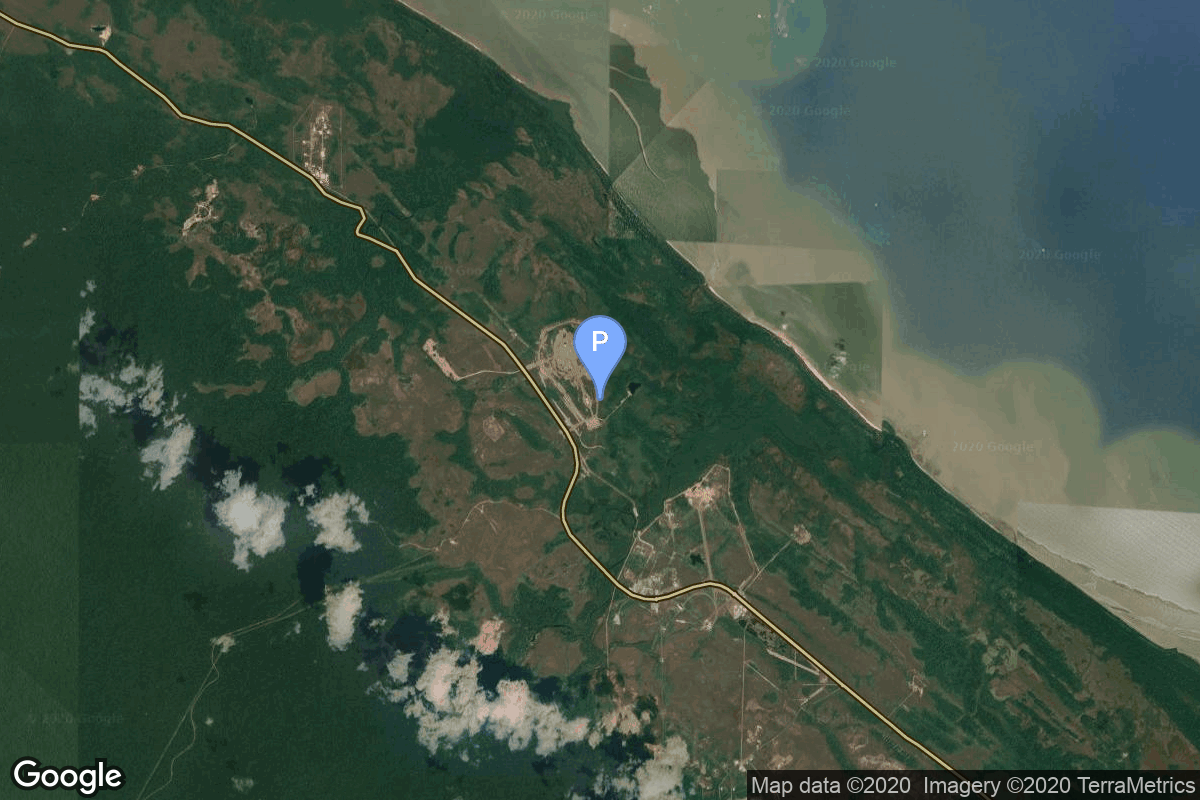
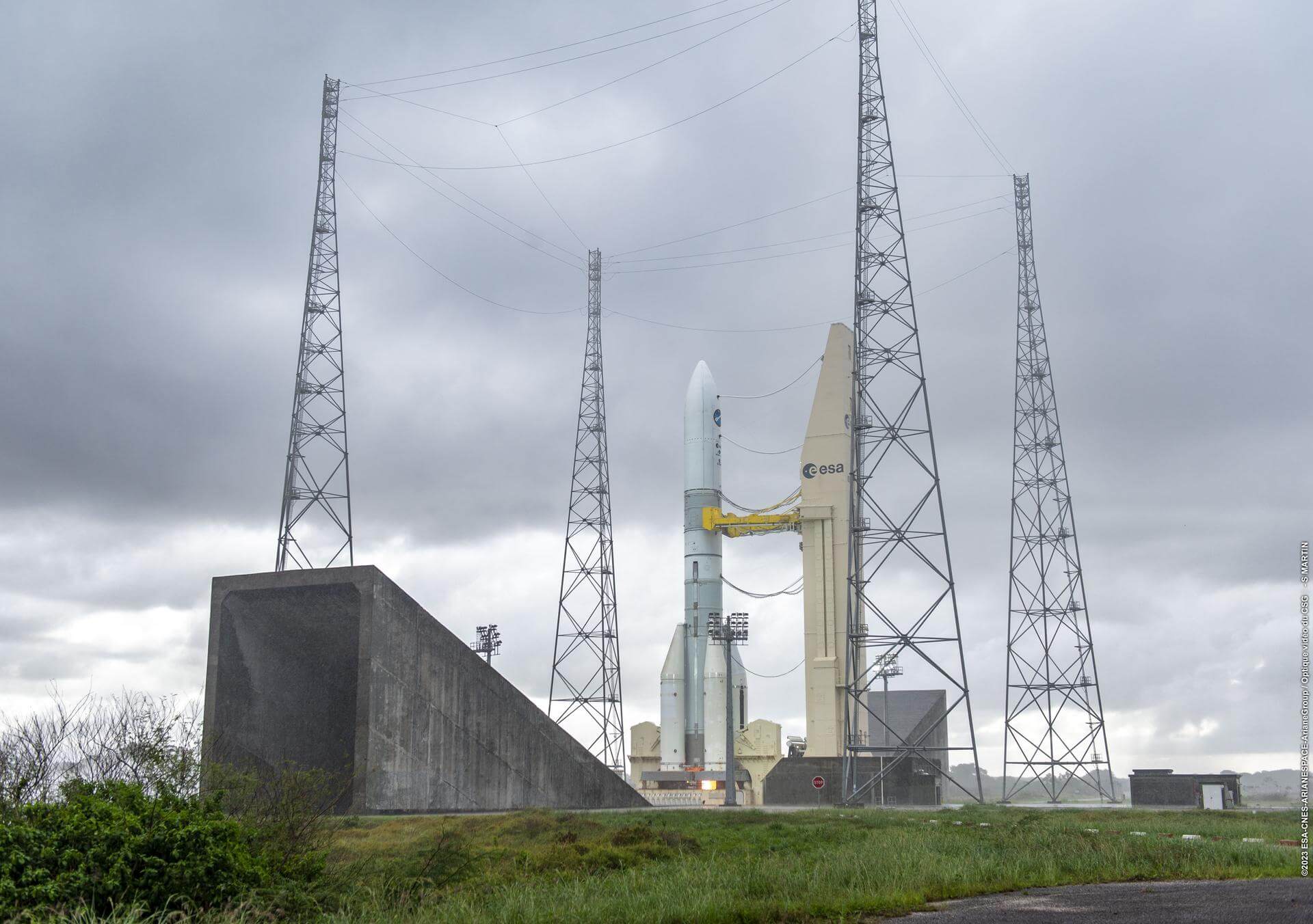
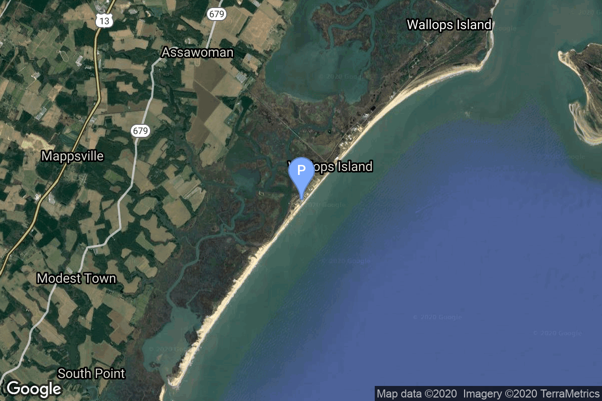
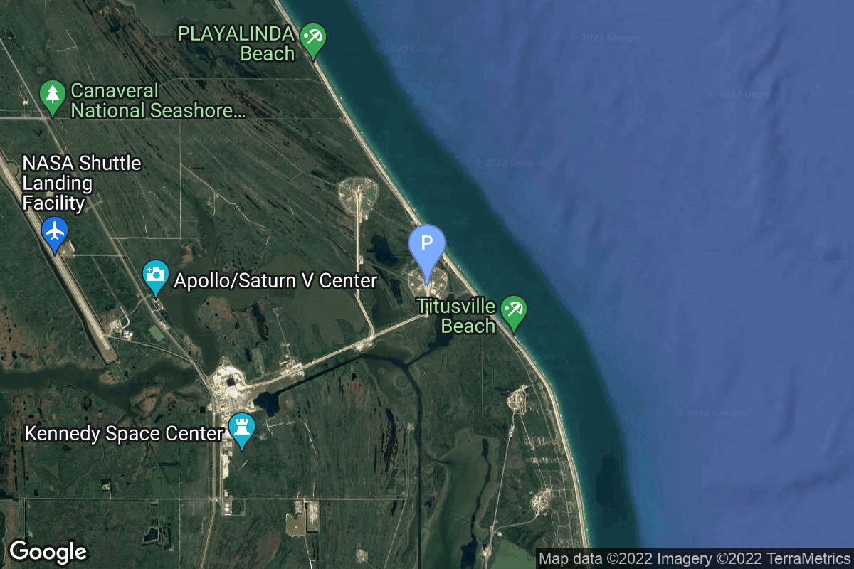
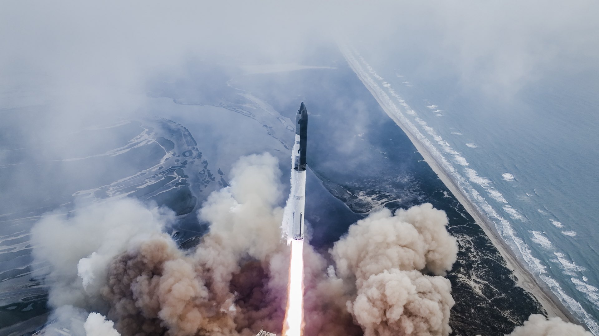
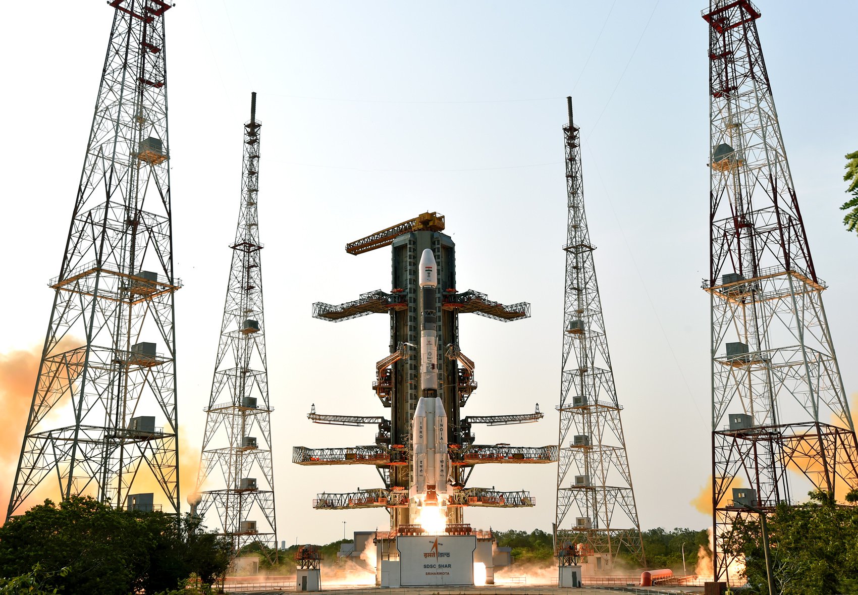
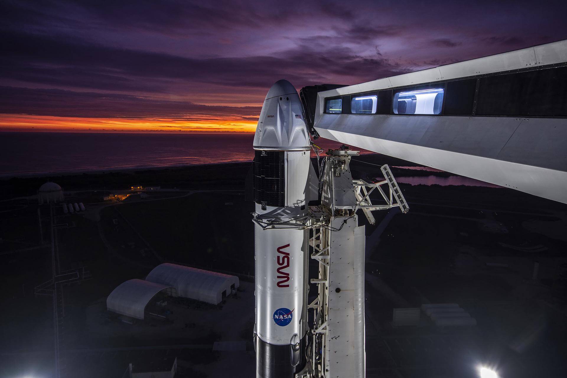
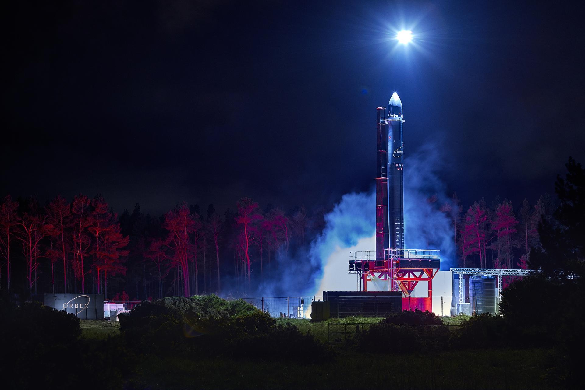
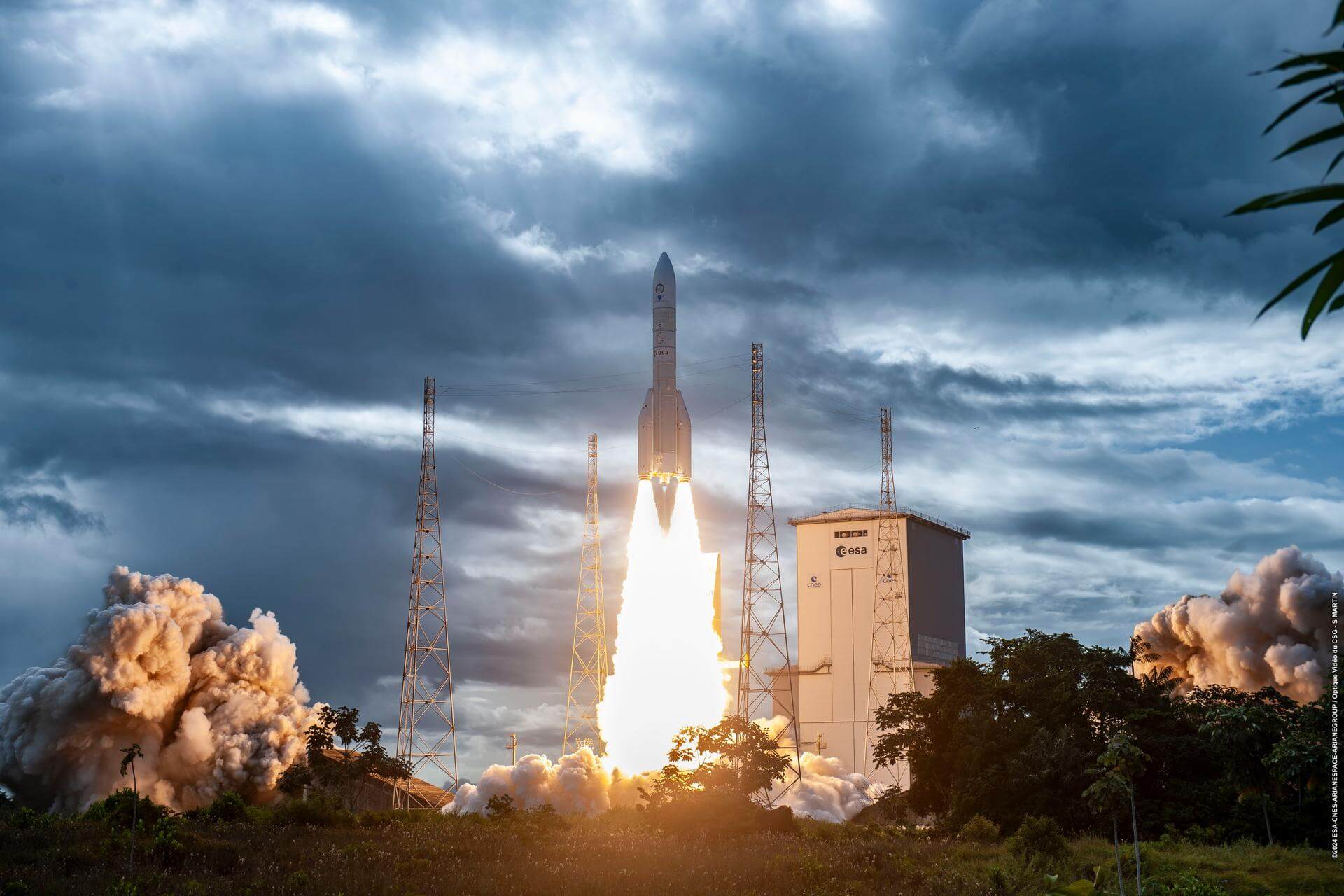
{ "count": 337, "next": "https://ll.thespacedevs.com/2.0.0/launch/upcoming/?format=api&limit=10&offset=40&ordering=id", "previous": "https://ll.thespacedevs.com/2.0.0/launch/upcoming/?format=api&limit=10&offset=20&ordering=id", "results": [ { "id": "0f72968a-773c-4f73-bc34-5fe40e6affc3", "url": "https://ll.thespacedevs.com/2.0.0/launch/0f72968a-773c-4f73-bc34-5fe40e6affc3/?format=api", "launch_library_id": 1877, "slug": "falcon-9-block-5-cas500-2-cas500-4", "name": "Falcon 9 Block 5 | CAS500-2 & CAS500-4", "status": { "id": 2, "name": "TBD" }, "net": "2025-12-31T00:00:00Z", "window_end": "2025-12-31T00:00:00Z", "window_start": "2025-12-31T00:00:00Z", "inhold": false, "tbdtime": true, "tbddate": true, "probability": null, "holdreason": "", "failreason": "", "hashtag": null, "launch_service_provider": { "id": 121, "url": "https://ll.thespacedevs.com/2.0.0/agencies/121/?format=api", "name": "SpaceX", "type": "Commercial" }, "rocket": { "id": 2411, "configuration": { "id": 164, "launch_library_id": 188, "url": "https://ll.thespacedevs.com/2.0.0/config/launcher/164/?format=api", "name": "Falcon 9", "family": "Falcon", "full_name": "Falcon 9 Block 5", "variant": "Block 5" } }, "mission": { "id": 7097, "launch_library_id": null, "name": "CAS500-2 & CAS500-4", "description": "CAS500-2 is the second of two similar South Korean Earth observation satellites. These spacecraft feature the AEISS-C imaging system with a ground resolution of 0.5 m in panchromatic mode and 2 m in color mode. \r\n\r\nCAS500-4 is a wide area Earth-observation satellite with a wide-area electro-optical camera (swath width of 120 km and resolution of 5 m) to be mainly used by the Rural Development Administration and the Korea Forest Service for observing crops, agricultural water resources and forest resources.", "launch_designator": null, "type": "Earth Science", "orbit": { "id": 17, "name": "Sun-Synchronous Orbit", "abbrev": "SSO" } }, "pad": { "id": 16, "url": "https://ll.thespacedevs.com/2.0.0/pad/16/?format=api", "agency_id": null, "name": "Space Launch Complex 4E", "info_url": null, "wiki_url": "https://en.wikipedia.org/wiki/Vandenberg_Space_Launch_Complex_4#SLC-4E", "map_url": "https://www.google.com/maps?q=34.632,-120.611", "latitude": "34.632", "longitude": "-120.611", "location": { "id": 11, "url": "https://ll.thespacedevs.com/2.0.0/location/11/?format=api", "name": "Vandenberg SFB, CA, USA", "country_code": "USA", "map_image": "https://thespacedevs-prod.nyc3.digitaloceanspaces.com/media/map_images/location_11_20200803142416.jpg", "total_launch_count": 804, "total_landing_count": 26 }, "map_image": "https://thespacedevs-prod.nyc3.digitaloceanspaces.com/media/map_images/pad_16_20200803143532.jpg", "total_launch_count": 190 }, "webcast_live": false, "image": "https://thespacedevs-prod.nyc3.digitaloceanspaces.com/media/images/falcon_9_image_20230807133459.jpeg", "infographic": null, "program": [] }, { "id": "0ffd7efb-7577-4aab-99da-fd1f6f4606c2", "url": "https://ll.thespacedevs.com/2.0.0/launch/0ffd7efb-7577-4aab-99da-fd1f6f4606c2/?format=api", "launch_library_id": null, "slug": "ariane-64-envision", "name": "Ariane 64 | EnVision", "status": { "id": 2, "name": "TBD" }, "net": "2031-12-31T00:00:00Z", "window_end": "2031-12-31T00:00:00Z", "window_start": "2031-12-31T00:00:00Z", "inhold": false, "tbdtime": true, "tbddate": true, "probability": null, "holdreason": "", "failreason": "", "hashtag": null, "launch_service_provider": { "id": 115, "url": "https://ll.thespacedevs.com/2.0.0/agencies/115/?format=api", "name": "Arianespace", "type": "Commercial" }, "rocket": { "id": 8180, "configuration": { "id": 116, "launch_library_id": 165, "url": "https://ll.thespacedevs.com/2.0.0/config/launcher/116/?format=api", "name": "Ariane 64", "family": "Ariane", "full_name": "Ariane 64", "variant": "64" } }, "mission": { "id": 6747, "launch_library_id": null, "name": "EnVision", "description": "European Space Agency mission to study Venus' atmosphere, geological activity, and climate.", "launch_designator": null, "type": "Planetary Science", "orbit": { "id": 20, "name": "Venus Orbit", "abbrev": "Venus" } }, "pad": { "id": 67, "url": "https://ll.thespacedevs.com/2.0.0/pad/67/?format=api", "agency_id": 115, "name": "Ariane Launch Area 4", "info_url": null, "wiki_url": "https://en.wikipedia.org/wiki/Guiana_Space_Centre", "map_url": "https://www.google.com/maps?q=5.256319,-52.786838", "latitude": "5.256319", "longitude": "-52.786838", "location": { "id": 13, "url": "https://ll.thespacedevs.com/2.0.0/location/13/?format=api", "name": "Guiana Space Centre, French Guiana", "country_code": "GUF", "map_image": "https://thespacedevs-prod.nyc3.digitaloceanspaces.com/media/map_images/location_13_20200803142412.jpg", "total_launch_count": 325, "total_landing_count": 0 }, "map_image": "https://thespacedevs-prod.nyc3.digitaloceanspaces.com/media/map_images/pad_67_20200803143559.jpg", "total_launch_count": 2 }, "webcast_live": false, "image": "https://thespacedevs-prod.nyc3.digitaloceanspaces.com/media/images/ariane_6_image_20240125142128.jpeg", "infographic": null, "program": [] }, { "id": "140dd3f9-da40-4558-878f-a84246d76151", "url": "https://ll.thespacedevs.com/2.0.0/launch/140dd3f9-da40-4558-878f-a84246d76151/?format=api", "launch_library_id": null, "slug": "electron-6x-hawkeye-360", "name": "Electron | 6x HawkEye 360", "status": { "id": 2, "name": "TBD" }, "net": "2025-06-30T00:00:00Z", "window_end": "2025-06-30T00:00:00Z", "window_start": "2025-06-30T00:00:00Z", "inhold": false, "tbdtime": true, "tbddate": true, "probability": null, "holdreason": "", "failreason": "", "hashtag": null, "launch_service_provider": { "id": 147, "url": "https://ll.thespacedevs.com/2.0.0/agencies/147/?format=api", "name": "Rocket Lab", "type": "Commercial" }, "rocket": { "id": 7566, "configuration": { "id": 26, "launch_library_id": 148, "url": "https://ll.thespacedevs.com/2.0.0/config/launcher/26/?format=api", "name": "Electron", "family": "", "full_name": "Electron", "variant": "" } }, "mission": { "id": 6493, "launch_library_id": null, "name": "6x HawkEye 360", "description": "HawkEye 360 is a a space-based civil global intelligence satellite network using radio frequency (RF) technology to help monitor transportation across air, land and sea and assist with emergencies, and to provide civil SIGINT (Signal Intelligence) mission.\r\n\r\nThe constellation of small satellites (named Hawk ) will collect information on specific radio signals worldwide to provide high-precision radio frequency mapping and analytics from Low Earth orbit (LEO).", "launch_designator": null, "type": "Earth Science", "orbit": { "id": 8, "name": "Low Earth Orbit", "abbrev": "LEO" } }, "pad": { "id": 79, "url": "https://ll.thespacedevs.com/2.0.0/pad/79/?format=api", "agency_id": 147, "name": "Rocket Lab Launch Complex 2 (Launch Area 0 C)", "info_url": null, "wiki_url": null, "map_url": "https://www.google.com/maps?q=37.833262,-75.488235", "latitude": "37.833262", "longitude": "-75.488235", "location": { "id": 21, "url": "https://ll.thespacedevs.com/2.0.0/location/21/?format=api", "name": "Wallops Flight Facility, Virginia, USA", "country_code": "USA", "map_image": "https://thespacedevs-prod.nyc3.digitaloceanspaces.com/media/map_images/location_21_20200803142423.jpg", "total_launch_count": 80, "total_landing_count": 0 }, "map_image": "https://thespacedevs-prod.nyc3.digitaloceanspaces.com/media/map_images/pad_79_20200803143607.jpg", "total_launch_count": 6 }, "webcast_live": false, "image": "https://thespacedevs-prod.nyc3.digitaloceanspaces.com/media/images/electron_image_20190705175640.jpeg", "infographic": null, "program": [] }, { "id": "156a9e46-01b5-46f4-818e-ea563c71c5fe", "url": "https://ll.thespacedevs.com/2.0.0/launch/156a9e46-01b5-46f4-818e-ea563c71c5fe/?format=api", "launch_library_id": null, "slug": "electron-strix-launch-9", "name": "Electron | StriX Launch 9", "status": { "id": 2, "name": "TBD" }, "net": "2025-12-31T00:00:00Z", "window_end": "2025-12-31T00:00:00Z", "window_start": "2025-12-31T00:00:00Z", "inhold": false, "tbdtime": true, "tbddate": true, "probability": null, "holdreason": "", "failreason": "", "hashtag": null, "launch_service_provider": { "id": 147, "url": "https://ll.thespacedevs.com/2.0.0/agencies/147/?format=api", "name": "Rocket Lab", "type": "Commercial" }, "rocket": { "id": 8265, "configuration": { "id": 26, "launch_library_id": 148, "url": "https://ll.thespacedevs.com/2.0.0/config/launcher/26/?format=api", "name": "Electron", "family": "", "full_name": "Electron", "variant": "" } }, "mission": { "id": 6846, "launch_library_id": null, "name": "StriX Launch 9", "description": "Synthetic aperture radar satellite for Japanese Earth imaging company Synspective.", "launch_designator": null, "type": "Earth Science", "orbit": { "id": 17, "name": "Sun-Synchronous Orbit", "abbrev": "SSO" } }, "pad": { "id": 210, "url": "https://ll.thespacedevs.com/2.0.0/pad/210/?format=api", "agency_id": null, "name": "Unknown Pad", "info_url": null, "wiki_url": null, "map_url": null, "latitude": "-39.260881", "longitude": "177.865826", "location": { "id": 10, "url": "https://ll.thespacedevs.com/2.0.0/location/10/?format=api", "name": "Rocket Lab Launch Complex 1, Mahia Peninsula, New Zealand", "country_code": "NZL", "map_image": "https://thespacedevs-prod.nyc3.digitaloceanspaces.com/media/map_images/location_10_20200803142509.jpg", "total_launch_count": 57, "total_landing_count": 17 }, "map_image": "https://thespacedevs-prod.nyc3.digitaloceanspaces.com/media/map_images/pad_210_20230819165718.jpg", "total_launch_count": 0 }, "webcast_live": false, "image": "https://thespacedevs-prod.nyc3.digitaloceanspaces.com/media/images/electron_image_20190705175640.jpeg", "infographic": null, "program": [] }, { "id": "17b75859-1630-481b-9985-6eef21dcc9a8", "url": "https://ll.thespacedevs.com/2.0.0/launch/17b75859-1630-481b-9985-6eef21dcc9a8/?format=api", "launch_library_id": null, "slug": "starship-starlab", "name": "Starship | Starlab", "status": { "id": 2, "name": "TBD" }, "net": "2028-12-31T00:00:00Z", "window_end": "2028-12-31T00:00:00Z", "window_start": "2028-12-31T00:00:00Z", "inhold": false, "tbdtime": true, "tbddate": true, "probability": null, "holdreason": "", "failreason": "", "hashtag": null, "launch_service_provider": { "id": 121, "url": "https://ll.thespacedevs.com/2.0.0/agencies/121/?format=api", "name": "SpaceX", "type": "Commercial" }, "rocket": { "id": 8188, "configuration": { "id": 464, "launch_library_id": null, "url": "https://ll.thespacedevs.com/2.0.0/config/launcher/464/?format=api", "name": "Starship", "family": "Starship", "full_name": "Starship", "variant": "" } }, "mission": { "id": 6756, "launch_library_id": null, "name": "Starlab", "description": "Private space station developed by a joint venture between Voyager Space and Airbus.", "launch_designator": null, "type": "Human Exploration", "orbit": { "id": 8, "name": "Low Earth Orbit", "abbrev": "LEO" } }, "pad": { "id": 203, "url": "https://ll.thespacedevs.com/2.0.0/pad/203/?format=api", "agency_id": 121, "name": "Launch Complex 39A Starship Pad", "info_url": null, "wiki_url": "https://en.wikipedia.org/wiki/Kennedy_Space_Center_Launch_Complex_39A", "map_url": "https://www.google.com/maps?q=28.60822681,-80.60428186", "latitude": "28.60822681", "longitude": "-80.60428186", "location": { "id": 27, "url": "https://ll.thespacedevs.com/2.0.0/location/27/?format=api", "name": "Kennedy Space Center, FL, USA", "country_code": "USA", "map_image": "https://thespacedevs-prod.nyc3.digitaloceanspaces.com/media/map_images/location_27_20200803142447.jpg", "total_launch_count": 264, "total_landing_count": 0 }, "map_image": "https://thespacedevs-prod.nyc3.digitaloceanspaces.com/media/map_images/pad_launch_complex_39a_20220818090654.jpg", "total_launch_count": 0 }, "webcast_live": false, "image": "https://thespacedevs-prod.nyc3.digitaloceanspaces.com/media/images/starship_liftof_image_20240314160301.jpg", "infographic": null, "program": [] }, { "id": "17d0ec68-f466-4916-9dc5-16123eda6484", "url": "https://ll.thespacedevs.com/2.0.0/launch/17d0ec68-f466-4916-9dc5-16123eda6484/?format=api", "launch_library_id": 1879, "slug": "gslv-mk-ii-gisat-2", "name": "GSLV Mk II | GISAT-2", "status": { "id": 2, "name": "TBD" }, "net": "2025-12-31T00:00:00Z", "window_end": "2025-12-31T00:00:00Z", "window_start": "2025-12-31T00:00:00Z", "inhold": false, "tbdtime": true, "tbddate": true, "probability": null, "holdreason": "", "failreason": "", "hashtag": null, "launch_service_provider": { "id": 31, "url": "https://ll.thespacedevs.com/2.0.0/agencies/31/?format=api", "name": "Indian Space Research Organization", "type": "Government" }, "rocket": { "id": 2413, "configuration": { "id": 168, "launch_library_id": 60, "url": "https://ll.thespacedevs.com/2.0.0/config/launcher/168/?format=api", "name": "GSLV Mk II", "family": "GSLV", "full_name": "GSLV Mk. II", "variant": "" } }, "mission": { "id": 6523, "launch_library_id": null, "name": "GISAT-2", "description": "GISAT 2 (GEO Imaging Satellite) is an Indian earth observing satellite operating from geostationary orbit to facilitate continuous observation of Indian sub-continent, quick monitoring of natural hazards and disaster.", "launch_designator": null, "type": "Earth Science", "orbit": { "id": 2, "name": "Geostationary Transfer Orbit", "abbrev": "GTO" } }, "pad": { "id": 82, "url": "https://ll.thespacedevs.com/2.0.0/pad/82/?format=api", "agency_id": 31, "name": "Satish Dhawan Space Centre Second Launch Pad", "info_url": null, "wiki_url": "https://en.wikipedia.org/wiki/Satish_Dhawan_Space_Centre_Second_Launch_Pad", "map_url": "https://www.google.com/maps?q=13.7199,80.2304", "latitude": "13.7199", "longitude": "80.2304", "location": { "id": 14, "url": "https://ll.thespacedevs.com/2.0.0/location/14/?format=api", "name": "Satish Dhawan Space Centre, India", "country_code": "IND", "map_image": "https://thespacedevs-prod.nyc3.digitaloceanspaces.com/media/map_images/location_14_20200803142403.jpg", "total_launch_count": 98, "total_landing_count": 0 }, "map_image": "https://thespacedevs-prod.nyc3.digitaloceanspaces.com/media/map_images/pad_82_20200803143602.jpg", "total_launch_count": 29 }, "webcast_live": false, "image": "https://thespacedevs-prod.nyc3.digitaloceanspaces.com/media/images/gslv2520mk2520ii_image_20190825171642.jpg", "infographic": null, "program": [] }, { "id": "18441371-8b2e-457c-afb5-1ec1b11ab630", "url": "https://ll.thespacedevs.com/2.0.0/launch/18441371-8b2e-457c-afb5-1ec1b11ab630/?format=api", "launch_library_id": null, "slug": "falcon-9-block-5-crew-13", "name": "Falcon 9 Block 5 | Crew-13", "status": { "id": 2, "name": "TBD" }, "net": "2030-03-31T00:00:00Z", "window_end": "2030-03-31T00:00:00Z", "window_start": "2030-03-31T00:00:00Z", "inhold": false, "tbdtime": false, "tbddate": false, "probability": null, "holdreason": "", "failreason": "", "hashtag": null, "launch_service_provider": { "id": 121, "url": "https://ll.thespacedevs.com/2.0.0/agencies/121/?format=api", "name": "SpaceX", "type": "Commercial" }, "rocket": { "id": 7600, "configuration": { "id": 164, "launch_library_id": 188, "url": "https://ll.thespacedevs.com/2.0.0/config/launcher/164/?format=api", "name": "Falcon 9", "family": "Falcon", "full_name": "Falcon 9 Block 5", "variant": "Block 5" } }, "mission": { "id": 6043, "launch_library_id": null, "name": "Crew-13", "description": "SpaceX Crew-13 is the thirteenth crewed operational flight of a Crew Dragon spacecraft to the International Space Station as part of NASA's Commercial Crew Program.", "launch_designator": null, "type": "Human Exploration", "orbit": { "id": 8, "name": "Low Earth Orbit", "abbrev": "LEO" } }, "pad": { "id": 72, "url": "https://ll.thespacedevs.com/2.0.0/pad/72/?format=api", "agency_id": null, "name": "Unknown Pad", "info_url": null, "wiki_url": "", "map_url": "https://www.google.com/maps?q=28.458,-80.528", "latitude": "28.458", "longitude": "-80.528", "location": { "id": 12, "url": "https://ll.thespacedevs.com/2.0.0/location/12/?format=api", "name": "Cape Canaveral SFS, FL, USA", "country_code": "USA", "map_image": "https://thespacedevs-prod.nyc3.digitaloceanspaces.com/media/map_images/location_12_20200803142519.jpg", "total_launch_count": 1020, "total_landing_count": 64 }, "map_image": "https://thespacedevs-prod.nyc3.digitaloceanspaces.com/media/map_images/pad_72_20200803143403.jpg", "total_launch_count": 0 }, "webcast_live": false, "image": "https://thespacedevs-prod.nyc3.digitaloceanspaces.com/media/images/falcon2520925_image_20220301072106.jpeg", "infographic": null, "program": [ { "id": 5, "url": "https://ll.thespacedevs.com/2.0.0/program/5/?format=api", "name": "Commercial Crew Program", "description": "The Commercial Crew Program (CCP) is a human spaceflight program operated by NASA, in association with American aerospace manufacturers Boeing and SpaceX. The program conducts rotations between the expeditions of the International Space Station program, transporting crews to and from the International Space Station (ISS) aboard Boeing Starliner and SpaceX Crew Dragon capsules, in the first crewed orbital spaceflights operated by private companies.", "agencies": [ { "id": 80, "url": "https://ll.thespacedevs.com/2.0.0/agencies/80/?format=api", "name": "Boeing", "type": "Commercial" }, { "id": 44, "url": "https://ll.thespacedevs.com/2.0.0/agencies/44/?format=api", "name": "National Aeronautics and Space Administration", "type": "Government" }, { "id": 121, "url": "https://ll.thespacedevs.com/2.0.0/agencies/121/?format=api", "name": "SpaceX", "type": "Commercial" } ], "image_url": "https://thespacedevs-prod.nyc3.digitaloceanspaces.com/media/images/commercial2520_program_20200820201209.png", "start_date": "2011-04-18T00:00:00Z", "end_date": null, "info_url": "https://www.nasa.gov/exploration/commercial/crew/index.html", "wiki_url": "https://en.wikipedia.org/wiki/Commercial_Crew_Program" }, { "id": 17, "url": "https://ll.thespacedevs.com/2.0.0/program/17/?format=api", "name": "International Space Station", "description": "The International Space Station programme is tied together by a complex set of legal, political and financial agreements between the sixteen nations involved in the project, governing ownership of the various components, rights to crewing and utilization, and responsibilities for crew rotation and resupply of the International Space Station. It was conceived in 1984 by President Ronald Reagan, during the Space Station Freedom project as it was originally called.", "agencies": [ { "id": 16, "url": "https://ll.thespacedevs.com/2.0.0/agencies/16/?format=api", "name": "Canadian Space Agency", "type": "Government" }, { "id": 27, "url": "https://ll.thespacedevs.com/2.0.0/agencies/27/?format=api", "name": "European Space Agency", "type": "Multinational" }, { "id": 37, "url": "https://ll.thespacedevs.com/2.0.0/agencies/37/?format=api", "name": "Japan Aerospace Exploration Agency", "type": "Government" }, { "id": 44, "url": "https://ll.thespacedevs.com/2.0.0/agencies/44/?format=api", "name": "National Aeronautics and Space Administration", "type": "Government" }, { "id": 63, "url": "https://ll.thespacedevs.com/2.0.0/agencies/63/?format=api", "name": "Russian Federal Space Agency (ROSCOSMOS)", "type": "Government" } ], "image_url": "https://thespacedevs-prod.nyc3.digitaloceanspaces.com/media/images/international2_program_20201129184745.png", "start_date": "1998-11-20T06:40:00Z", "end_date": null, "info_url": "https://www.nasa.gov/mission_pages/station/main/index.html", "wiki_url": "https://en.wikipedia.org/wiki/International_Space_Station_programme" } ] }, { "id": "1b11f81e-cdbf-49aa-a7ce-aa79f609046c", "url": "https://ll.thespacedevs.com/2.0.0/launch/1b11f81e-cdbf-49aa-a7ce-aa79f609046c/?format=api", "launch_library_id": null, "slug": "orbex-prime-maiden-flight", "name": "Orbex Prime | Maiden Flight", "status": { "id": 2, "name": "TBD" }, "net": "2025-12-31T00:00:00Z", "window_end": "2025-12-31T00:00:00Z", "window_start": "2025-12-31T00:00:00Z", "inhold": false, "tbdtime": true, "tbddate": true, "probability": null, "holdreason": "", "failreason": "", "hashtag": null, "launch_service_provider": { "id": 1033, "url": "https://ll.thespacedevs.com/2.0.0/agencies/1033/?format=api", "name": "Orbex", "type": "Commercial" }, "rocket": { "id": 7575, "configuration": { "id": 480, "launch_library_id": null, "url": "https://ll.thespacedevs.com/2.0.0/config/launcher/480/?format=api", "name": "Prime", "family": "", "full_name": "Orbex Prime", "variant": "Prime" } }, "mission": { "id": 6018, "launch_library_id": null, "name": "Maiden Flight", "description": "Maiden flight of Orbex's Prime rocket from Sutherland Spaceport. This flights marks the first vertical orbital launch attempt from the United Kingdom, and the first orbital launch attempt from Scotland.", "launch_designator": null, "type": "Test Flight", "orbit": { "id": 25, "name": "Unknown", "abbrev": "N/A" } }, "pad": { "id": 237, "url": "https://ll.thespacedevs.com/2.0.0/pad/237/?format=api", "agency_id": null, "name": "Unknown Pad", "info_url": null, "wiki_url": "https://en.wikipedia.org/wiki/SaxaVord_Spaceport", "map_url": "https://www.google.com/maps?q=60.8184,-0.7692", "latitude": "60.8184", "longitude": "-0.7692", "location": { "id": 157, "url": "https://ll.thespacedevs.com/2.0.0/location/157/?format=api", "name": "SaxaVord Spaceport", "country_code": "GBR", "map_image": "https://thespacedevs-prod.nyc3.digitaloceanspaces.com/media/map_images/location_saxavord_spaceport_20211102161146.jpg", "total_launch_count": 0, "total_landing_count": 0 }, "map_image": "https://thespacedevs-prod.nyc3.digitaloceanspaces.com/media/map_images/pad_unknown_pad_20241227075133.jpg", "total_launch_count": 0 }, "webcast_live": false, "image": "https://thespacedevs-prod.nyc3.digitaloceanspaces.com/media/images/prime_image_20220511125637.jpg", "infographic": null, "program": [] }, { "id": "1b9bed2f-7e00-4d95-b5d1-7b71c36a4ab1", "url": "https://ll.thespacedevs.com/2.0.0/launch/1b9bed2f-7e00-4d95-b5d1-7b71c36a4ab1/?format=api", "launch_library_id": 1364, "slug": "ariane-62-metop-sg-a1", "name": "Ariane 62 | Metop-SG A1", "status": { "id": 2, "name": "TBD" }, "net": "2025-08-31T00:00:00Z", "window_end": "2025-08-31T00:00:00Z", "window_start": "2025-08-31T00:00:00Z", "inhold": false, "tbdtime": true, "tbddate": true, "probability": null, "holdreason": "", "failreason": "", "hashtag": null, "launch_service_provider": { "id": 115, "url": "https://ll.thespacedevs.com/2.0.0/agencies/115/?format=api", "name": "Arianespace", "type": "Commercial" }, "rocket": { "id": 169, "configuration": { "id": 121, "launch_library_id": 164, "url": "https://ll.thespacedevs.com/2.0.0/config/launcher/121/?format=api", "name": "Ariane 62", "family": "Ariane", "full_name": "Ariane 62", "variant": "62" } }, "mission": { "id": 5920, "launch_library_id": null, "name": "Metop-SG A1", "description": "First of EUMETSAT's second generation of Metop weather satellites.", "launch_designator": null, "type": "Earth Science", "orbit": { "id": 17, "name": "Sun-Synchronous Orbit", "abbrev": "SSO" } }, "pad": { "id": 67, "url": "https://ll.thespacedevs.com/2.0.0/pad/67/?format=api", "agency_id": 115, "name": "Ariane Launch Area 4", "info_url": null, "wiki_url": "https://en.wikipedia.org/wiki/Guiana_Space_Centre", "map_url": "https://www.google.com/maps?q=5.256319,-52.786838", "latitude": "5.256319", "longitude": "-52.786838", "location": { "id": 13, "url": "https://ll.thespacedevs.com/2.0.0/location/13/?format=api", "name": "Guiana Space Centre, French Guiana", "country_code": "GUF", "map_image": "https://thespacedevs-prod.nyc3.digitaloceanspaces.com/media/map_images/location_13_20200803142412.jpg", "total_launch_count": 325, "total_landing_count": 0 }, "map_image": "https://thespacedevs-prod.nyc3.digitaloceanspaces.com/media/map_images/pad_67_20200803143559.jpg", "total_launch_count": 2 }, "webcast_live": false, "image": "https://thespacedevs-prod.nyc3.digitaloceanspaces.com/media/images/ariane_62_lifto_image_20240711132056.jpeg", "infographic": null, "program": [ { "id": 22, "url": "https://ll.thespacedevs.com/2.0.0/program/22/?format=api", "name": "Copernicus", "description": "Copernicus is the European Union's Earth observation programme coordinated and managed for the European Commission by the European Union Agency for the Space Programme in partnership with the European Space Agency (ESA), the EU Member States. It aims at achieving a global, continuous, autonomous, high quality, wide range Earth observation capacity. Providing accurate, timely and easily accessible information to, among other things, improve the management of the environment, understand and mitigate the effects of climate change, and ensure civil security.", "agencies": [ { "id": 27, "url": "https://ll.thespacedevs.com/2.0.0/agencies/27/?format=api", "name": "European Space Agency", "type": "Multinational" }, { "id": 1043, "url": "https://ll.thespacedevs.com/2.0.0/agencies/1043/?format=api", "name": "European Union Agency for the Space Programme", "type": "Multinational" } ], "image_url": "https://thespacedevs-prod.nyc3.digitaloceanspaces.com/media/images/copernicus_program_20221129162831.png", "start_date": "2014-04-03T00:00:00Z", "end_date": null, "info_url": "https://www.copernicus.eu", "wiki_url": "https://en.wikipedia.org/wiki/Copernicus_Programme" } ] }, { "id": "1c040590-5157-4850-86e2-f878dd7d49d4", "url": "https://ll.thespacedevs.com/2.0.0/launch/1c040590-5157-4850-86e2-f878dd7d49d4/?format=api", "launch_library_id": null, "slug": "lvm-3-bluebird-block-2-1", "name": "LVM-3 | BlueBird Block 2 #1", "status": { "id": 2, "name": "TBD" }, "net": "2025-07-31T00:00:00Z", "window_end": "2025-07-31T00:00:00Z", "window_start": "2025-07-31T00:00:00Z", "inhold": false, "tbdtime": true, "tbddate": true, "probability": null, "holdreason": "", "failreason": "", "hashtag": null, "launch_service_provider": { "id": 31, "url": "https://ll.thespacedevs.com/2.0.0/agencies/31/?format=api", "name": "Indian Space Research Organization", "type": "Government" }, "rocket": { "id": 8407, "configuration": { "id": 172, "launch_library_id": 85, "url": "https://ll.thespacedevs.com/2.0.0/config/launcher/172/?format=api", "name": "LVM-3 (GSLV Mk III)", "family": "GSLV", "full_name": "Launch Vehicle Mark-3 (GSLV Mk III)", "variant": "" } }, "mission": { "id": 6995, "launch_library_id": null, "name": "BlueBird Block 2 #1", "description": "AST SpaceMobile’s Block 2 BlueBird satellites are designed to deliver up to 10 times the bandwidth capacity of the BlueBird Block 1 satellites, required to achieve 24/7 continuous cellular broadband service coverage in the United States, with beams designed to support a capacity of up to 40 MHz, enabling peak data transmission speeds up to 120 Mbps, supporting voice, full data and video applications. The Block 2 BlueBirds, featuring as large as 2400 square foot communications arrays, will be the largest satellites ever commercially deployed in Low Earth orbit once launched.\r\n\r\nThis launch will feature a single satellite.", "launch_designator": null, "type": "Communications", "orbit": { "id": 8, "name": "Low Earth Orbit", "abbrev": "LEO" } }, "pad": { "id": 82, "url": "https://ll.thespacedevs.com/2.0.0/pad/82/?format=api", "agency_id": 31, "name": "Satish Dhawan Space Centre Second Launch Pad", "info_url": null, "wiki_url": "https://en.wikipedia.org/wiki/Satish_Dhawan_Space_Centre_Second_Launch_Pad", "map_url": "https://www.google.com/maps?q=13.7199,80.2304", "latitude": "13.7199", "longitude": "80.2304", "location": { "id": 14, "url": "https://ll.thespacedevs.com/2.0.0/location/14/?format=api", "name": "Satish Dhawan Space Centre, India", "country_code": "IND", "map_image": "https://thespacedevs-prod.nyc3.digitaloceanspaces.com/media/map_images/location_14_20200803142403.jpg", "total_launch_count": 98, "total_landing_count": 0 }, "map_image": "https://thespacedevs-prod.nyc3.digitaloceanspaces.com/media/map_images/pad_82_20200803143602.jpg", "total_launch_count": 29 }, "webcast_live": false, "image": "https://thespacedevs-prod.nyc3.digitaloceanspaces.com/media/images/gslv2520mk2520iii_image_20190604000938.jpg", "infographic": null, "program": [] } ] }