Upcoming Launch List
API endpoint that returns future Launch objects and launches from the last twenty four hours.
GET: Return a list of future Launches
FILTERS: Fields - 'name', 'id(s)', 'lsp_id', 'lsp_name', 'launcher_config__id',
MODE: 'normal', 'list', 'detailed' EXAMPLE: ?mode=list
SEARCH: Searches through the launch name, rocket name, launch agency and mission name. EXAMPLE - ?search=SpaceX
GET /2.0.0/launch/upcoming/?format=api&offset=290
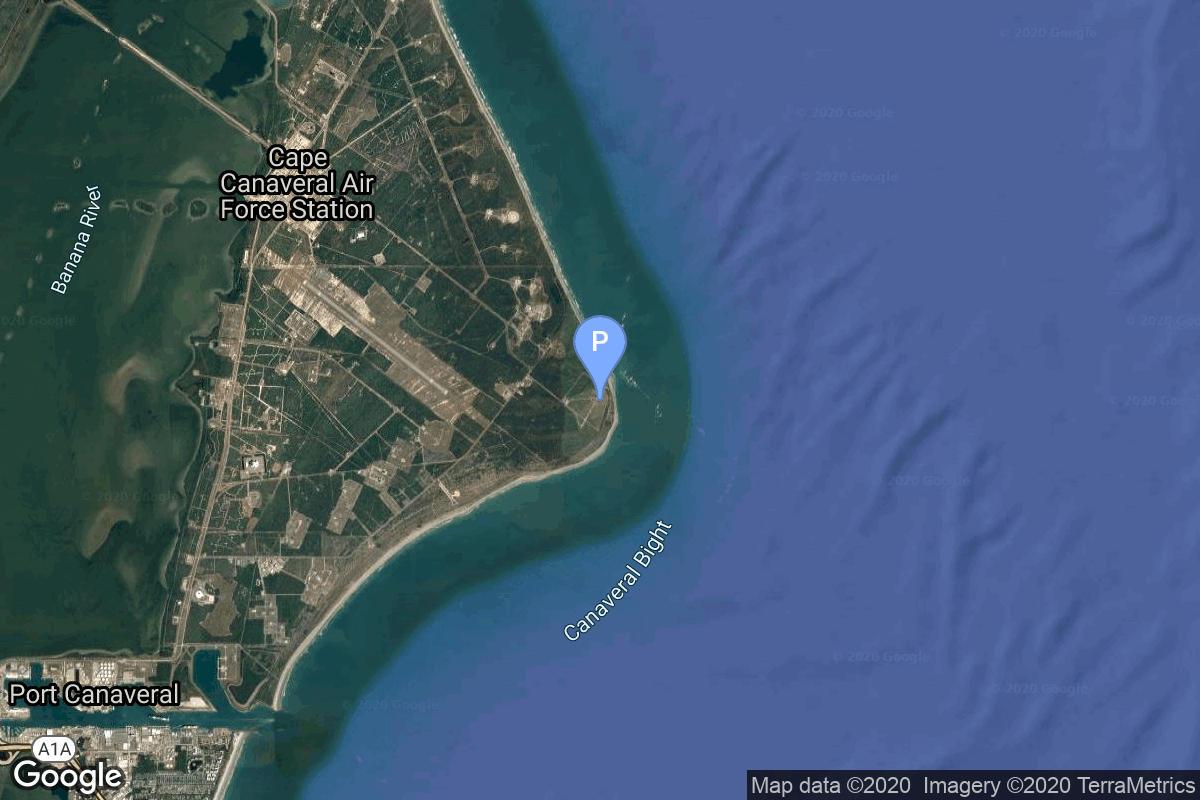
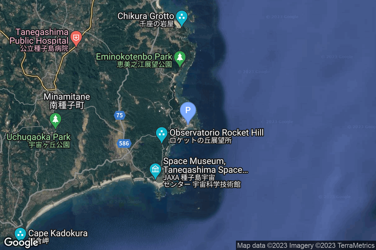
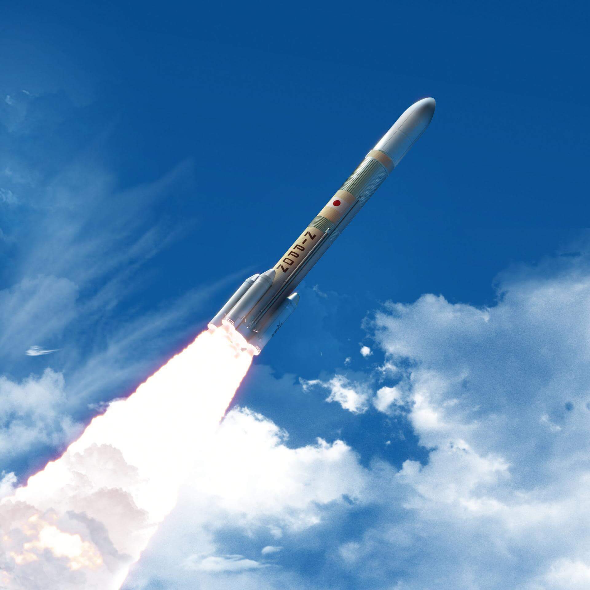
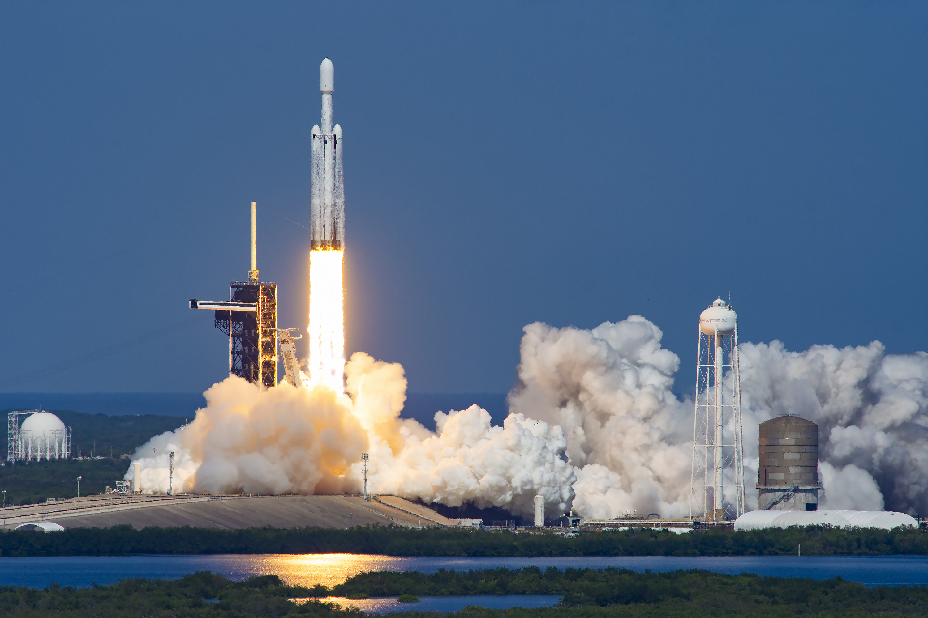
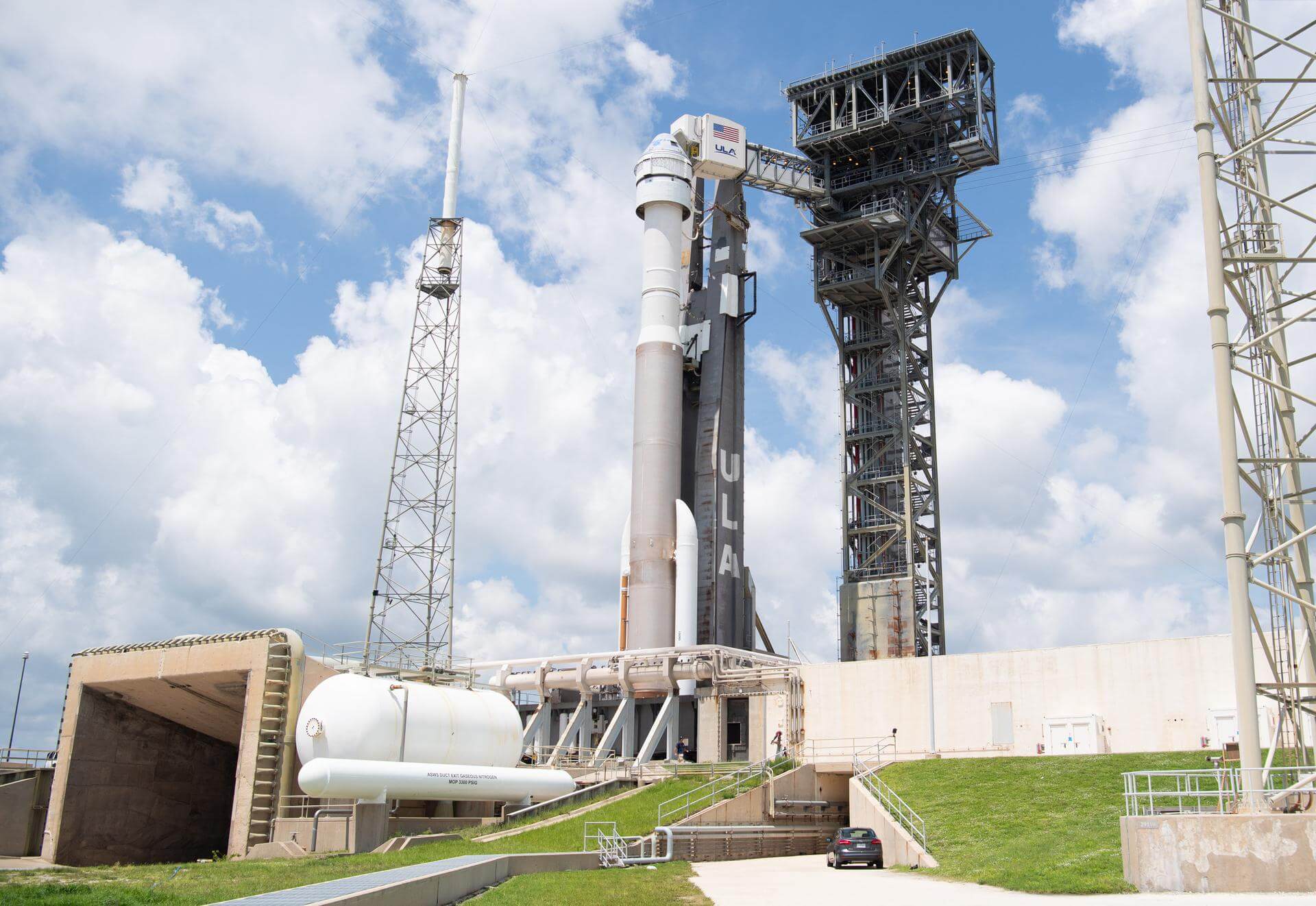
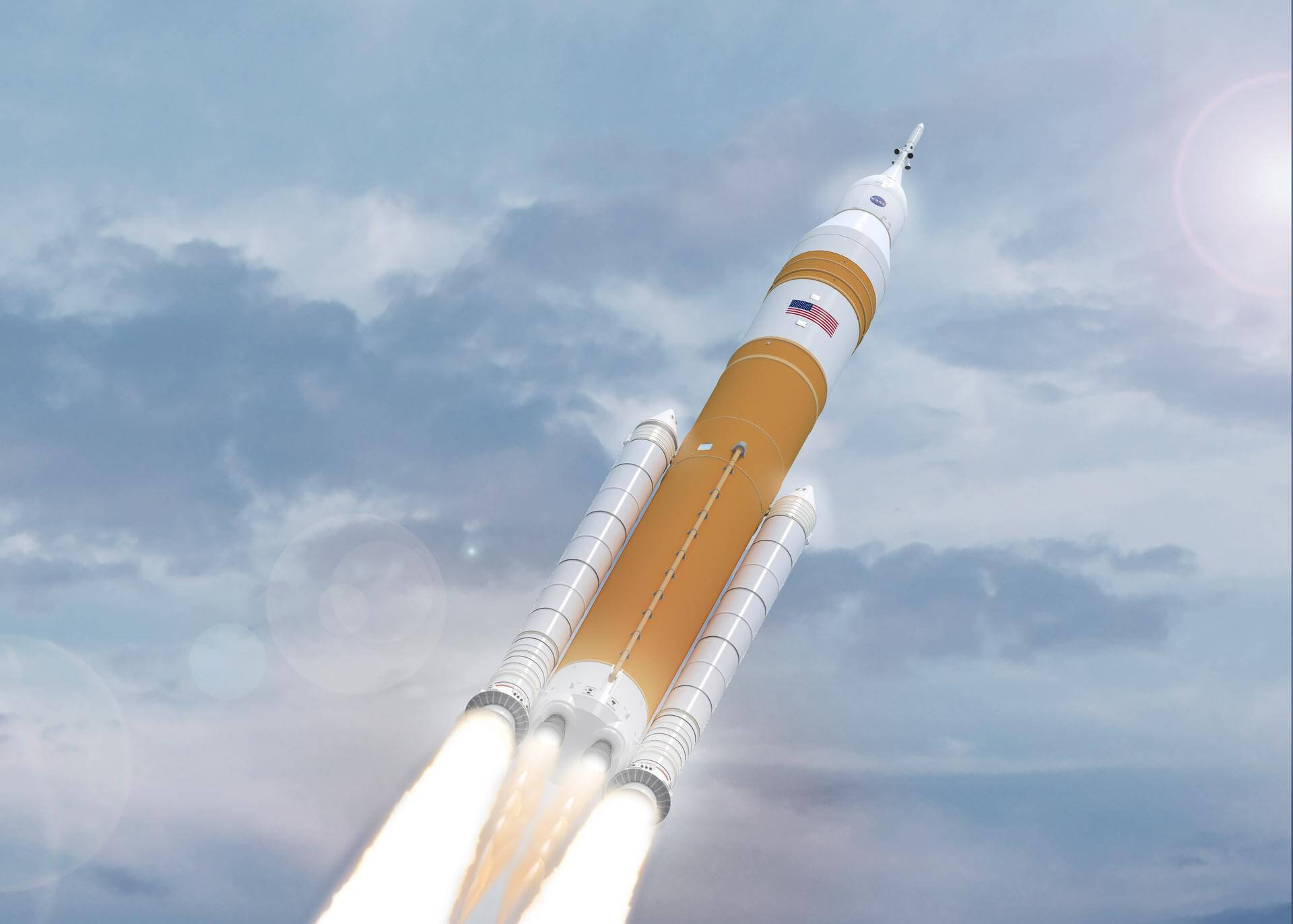
{ "count": 337, "next": "https://ll.thespacedevs.com/2.0.0/launch/upcoming/?format=api&limit=10&offset=300", "previous": "https://ll.thespacedevs.com/2.0.0/launch/upcoming/?format=api&limit=10&offset=280", "results": [ { "id": "d88a9bd5-76c4-4c55-b2eb-8cd3e071b02c", "url": "https://ll.thespacedevs.com/2.0.0/launch/d88a9bd5-76c4-4c55-b2eb-8cd3e071b02c/?format=api", "launch_library_id": null, "slug": "falcon-9-block-5-jpss-4-joint-polar-satellite-syst", "name": "Falcon 9 Block 5 | JPSS 4 (Joint Polar Satellite System spacecraft No. 4)", "status": { "id": 2, "name": "TBD" }, "net": "2027-12-31T00:00:00Z", "window_end": "2027-12-31T00:00:00Z", "window_start": "2027-12-31T00:00:00Z", "inhold": false, "tbdtime": true, "tbddate": true, "probability": null, "holdreason": "", "failreason": "", "hashtag": null, "launch_service_provider": { "id": 121, "url": "https://ll.thespacedevs.com/2.0.0/agencies/121/?format=api", "name": "SpaceX", "type": "Commercial" }, "rocket": { "id": 8285, "configuration": { "id": 164, "launch_library_id": 188, "url": "https://ll.thespacedevs.com/2.0.0/config/launcher/164/?format=api", "name": "Falcon 9", "family": "Falcon", "full_name": "Falcon 9 Block 5", "variant": "Block 5" } }, "mission": { "id": 6866, "launch_library_id": null, "name": "JPSS 4 (Joint Polar Satellite System spacecraft No. 4)", "description": "The JPSS constellation of satellites collects global multi-spectral radiometry and other specialized meteorologic, oceanographic, and solar-geophysical data via remote sensing of land, sea, and atmospheric properties. These data support NOAA’s mission for continuous observation of Earth’s environment to understand and predict changes in weather, climate, oceans, and coasts to support the nation’s economy and protect lives and property. NASA uses the instruments aboard the JPSS satellites to continue decades of Earth science research for the betterment of humanity. JPSS-4 carries the NASA Earth Venture mission Libera, an instrument to improve our understanding of trends in Earth’s energy imbalance and our changing climate.", "launch_designator": null, "type": "Earth Science", "orbit": { "id": 17, "name": "Sun-Synchronous Orbit", "abbrev": "SSO" } }, "pad": { "id": 16, "url": "https://ll.thespacedevs.com/2.0.0/pad/16/?format=api", "agency_id": null, "name": "Space Launch Complex 4E", "info_url": null, "wiki_url": "https://en.wikipedia.org/wiki/Vandenberg_Space_Launch_Complex_4#SLC-4E", "map_url": "https://www.google.com/maps?q=34.632,-120.611", "latitude": "34.632", "longitude": "-120.611", "location": { "id": 11, "url": "https://ll.thespacedevs.com/2.0.0/location/11/?format=api", "name": "Vandenberg SFB, CA, USA", "country_code": "USA", "map_image": "https://thespacedevs-prod.nyc3.digitaloceanspaces.com/media/map_images/location_11_20200803142416.jpg", "total_launch_count": 804, "total_landing_count": 26 }, "map_image": "https://thespacedevs-prod.nyc3.digitaloceanspaces.com/media/map_images/pad_16_20200803143532.jpg", "total_launch_count": 190 }, "webcast_live": false, "image": "https://thespacedevs-prod.nyc3.digitaloceanspaces.com/media/images/falcon_9_image_20230807133459.jpeg", "infographic": null, "program": [] }, { "id": "fd7610d8-d883-4da0-bac2-cbbbbe34a33e", "url": "https://ll.thespacedevs.com/2.0.0/launch/fd7610d8-d883-4da0-bac2-cbbbbe34a33e/?format=api", "launch_library_id": null, "slug": "falcon-9-block-5-telesat-lightspeed-10", "name": "Falcon 9 Block 5 | Telesat Lightspeed 10", "status": { "id": 2, "name": "TBD" }, "net": "2027-12-31T00:00:00Z", "window_end": "2027-12-31T00:00:00Z", "window_start": "2027-12-31T00:00:00Z", "inhold": false, "tbdtime": true, "tbddate": true, "probability": null, "holdreason": "", "failreason": "", "hashtag": null, "launch_service_provider": { "id": 121, "url": "https://ll.thespacedevs.com/2.0.0/agencies/121/?format=api", "name": "SpaceX", "type": "Commercial" }, "rocket": { "id": 8013, "configuration": { "id": 164, "launch_library_id": 188, "url": "https://ll.thespacedevs.com/2.0.0/config/launcher/164/?format=api", "name": "Falcon 9", "family": "Falcon", "full_name": "Falcon 9 Block 5", "variant": "Block 5" } }, "mission": { "id": 6549, "launch_library_id": null, "name": "Telesat Lightspeed 10", "description": "Up to 18 satellites manufactured by MDA for Canadian satellite operator Telesat's Lightspeed constellation.", "launch_designator": null, "type": "Communications", "orbit": { "id": 8, "name": "Low Earth Orbit", "abbrev": "LEO" } }, "pad": { "id": 72, "url": "https://ll.thespacedevs.com/2.0.0/pad/72/?format=api", "agency_id": null, "name": "Unknown Pad", "info_url": null, "wiki_url": "", "map_url": "https://www.google.com/maps?q=28.458,-80.528", "latitude": "28.458", "longitude": "-80.528", "location": { "id": 12, "url": "https://ll.thespacedevs.com/2.0.0/location/12/?format=api", "name": "Cape Canaveral SFS, FL, USA", "country_code": "USA", "map_image": "https://thespacedevs-prod.nyc3.digitaloceanspaces.com/media/map_images/location_12_20200803142519.jpg", "total_launch_count": 1020, "total_landing_count": 64 }, "map_image": "https://thespacedevs-prod.nyc3.digitaloceanspaces.com/media/map_images/pad_72_20200803143403.jpg", "total_launch_count": 0 }, "webcast_live": false, "image": "https://thespacedevs-prod.nyc3.digitaloceanspaces.com/media/images/falcon_9_image_20230807133459.jpeg", "infographic": null, "program": [] }, { "id": "f11bdb77-9e69-4152-aabe-0b6cf7bf5798", "url": "https://ll.thespacedevs.com/2.0.0/launch/f11bdb77-9e69-4152-aabe-0b6cf7bf5798/?format=api", "launch_library_id": null, "slug": "h3-mbr-explorer", "name": "H3 | MBR Explorer", "status": { "id": 2, "name": "TBD" }, "net": "2028-03-31T00:00:00Z", "window_end": "2028-03-31T00:00:00Z", "window_start": "2028-03-31T00:00:00Z", "inhold": false, "tbdtime": true, "tbddate": true, "probability": null, "holdreason": "", "failreason": "", "hashtag": null, "launch_service_provider": { "id": 98, "url": "https://ll.thespacedevs.com/2.0.0/agencies/98/?format=api", "name": "Mitsubishi Heavy Industries", "type": "Commercial" }, "rocket": { "id": 8377, "configuration": { "id": 30, "launch_library_id": 48, "url": "https://ll.thespacedevs.com/2.0.0/config/launcher/30/?format=api", "name": "H3", "family": "H3", "full_name": "H3", "variant": "" } }, "mission": { "id": 6958, "launch_library_id": null, "name": "MBR Explorer", "description": "An United Arab Emirates Space Agency (UAESA) planetary mission to visit main belt asteroids. Named after Sheikh Mohammed bin Rashid, the spacecraft will fly by six main belt asteroids between 2030 and 2033 before rendezvousing on a seventh, Justitia, in 2034, later deploying a lander.", "launch_designator": null, "type": "Planetary Science", "orbit": { "id": 21, "name": "Asteroid", "abbrev": "Asteroid" } }, "pad": { "id": 209, "url": "https://ll.thespacedevs.com/2.0.0/pad/209/?format=api", "agency_id": 37, "name": "Yoshinobu Launch Complex LP-2", "info_url": null, "wiki_url": "https://en.wikipedia.org/wiki/Yoshinobu_Launch_Complex", "map_url": "https://www.google.com/maps?q=30.400938,130.97564", "latitude": "30.400938", "longitude": "130.97564", "location": { "id": 26, "url": "https://ll.thespacedevs.com/2.0.0/location/26/?format=api", "name": "Tanegashima Space Center, Japan", "country_code": "JPN", "map_image": "https://thespacedevs-prod.nyc3.digitaloceanspaces.com/media/map_images/location_26_20200803142507.jpg", "total_launch_count": 94, "total_landing_count": 0 }, "map_image": "https://thespacedevs-prod.nyc3.digitaloceanspaces.com/media/map_images/pad_yoshinobu_launch_complex_lp-2_20230707124715.jpg", "total_launch_count": 14 }, "webcast_live": false, "image": "https://thespacedevs-prod.nyc3.digitaloceanspaces.com/media/images/h-iii_image_20221104084531.jpeg", "infographic": null, "program": [] }, { "id": "03756d3f-98c2-42b6-942f-db3960c96274", "url": "https://ll.thespacedevs.com/2.0.0/launch/03756d3f-98c2-42b6-942f-db3960c96274/?format=api", "launch_library_id": null, "slug": "h3-ramses", "name": "H3 | RAMSES", "status": { "id": 2, "name": "TBD" }, "net": "2028-04-20T00:00:00Z", "window_end": "2028-05-11T00:00:00Z", "window_start": "2028-04-20T00:00:00Z", "inhold": false, "tbdtime": true, "tbddate": true, "probability": null, "holdreason": "", "failreason": "", "hashtag": null, "launch_service_provider": { "id": 98, "url": "https://ll.thespacedevs.com/2.0.0/agencies/98/?format=api", "name": "Mitsubishi Heavy Industries", "type": "Commercial" }, "rocket": { "id": 8390, "configuration": { "id": 30, "launch_library_id": 48, "url": "https://ll.thespacedevs.com/2.0.0/config/launcher/30/?format=api", "name": "H3", "family": "H3", "full_name": "H3", "variant": "" } }, "mission": { "id": 6971, "launch_library_id": null, "name": "RAMSES", "description": "European Space Agency mission to rendezvous with asteroid Apophis before its close fly-by of Earth.", "launch_designator": null, "type": "Robotic Exploration", "orbit": { "id": 21, "name": "Asteroid", "abbrev": "Asteroid" } }, "pad": { "id": 209, "url": "https://ll.thespacedevs.com/2.0.0/pad/209/?format=api", "agency_id": 37, "name": "Yoshinobu Launch Complex LP-2", "info_url": null, "wiki_url": "https://en.wikipedia.org/wiki/Yoshinobu_Launch_Complex", "map_url": "https://www.google.com/maps?q=30.400938,130.97564", "latitude": "30.400938", "longitude": "130.97564", "location": { "id": 26, "url": "https://ll.thespacedevs.com/2.0.0/location/26/?format=api", "name": "Tanegashima Space Center, Japan", "country_code": "JPN", "map_image": "https://thespacedevs-prod.nyc3.digitaloceanspaces.com/media/map_images/location_26_20200803142507.jpg", "total_launch_count": 94, "total_landing_count": 0 }, "map_image": "https://thespacedevs-prod.nyc3.digitaloceanspaces.com/media/map_images/pad_yoshinobu_launch_complex_lp-2_20230707124715.jpg", "total_launch_count": 14 }, "webcast_live": false, "image": "https://thespacedevs-prod.nyc3.digitaloceanspaces.com/media/images/h-iii_image_20221104084531.jpeg", "infographic": null, "program": [] }, { "id": "c6e0ad16-8a78-46bc-a693-fbbf5ea4db6f", "url": "https://ll.thespacedevs.com/2.0.0/launch/c6e0ad16-8a78-46bc-a693-fbbf5ea4db6f/?format=api", "launch_library_id": null, "slug": "falcon-heavy-dragonfly", "name": "Falcon Heavy | Dragonfly", "status": { "id": 2, "name": "TBD" }, "net": "2028-07-05T00:00:00Z", "window_end": "2028-07-05T00:00:00Z", "window_start": "2028-07-05T00:00:00Z", "inhold": false, "tbdtime": true, "tbddate": false, "probability": null, "holdreason": "", "failreason": "", "hashtag": null, "launch_service_provider": { "id": 121, "url": "https://ll.thespacedevs.com/2.0.0/agencies/121/?format=api", "name": "SpaceX", "type": "Commercial" }, "rocket": { "id": 8423, "configuration": { "id": 161, "launch_library_id": 58, "url": "https://ll.thespacedevs.com/2.0.0/config/launcher/161/?format=api", "name": "Falcon Heavy", "family": "Falcon", "full_name": "Falcon Heavy", "variant": "Heavy" } }, "mission": { "id": 7012, "launch_library_id": null, "name": "Dragonfly", "description": "Dragonfly is NASA's 4th New Frontiers program mission that will send a robotic rotorcraft to fly within the atmosphere of Saturn's moon Titan to sample materials and determine surface composition in different geologic settings, advancing humanity's search for the building blocks of life.\r\n\r\nThe craft is a large quadcopter with double rotors with mass of about 875 kg, featuring rotors of 1.35 m in diameter. It can fly through several kilometers within an hour and will perform 1 flight per Titan day (~16 Earth days). During the planned 3.3-year mission, Dragonfly is expected to cover distance up to several hundred km.\r\n\r\nDragonfly will use a Multi-Mission Radioisotope Thermoelectric Generator (MMRTG) to power its instruments.\r\n\r\nThe planned science instrument suite is:\r\n* DragonCam: Camera Suite\r\n* DrACO: Drill for Acquisition of Complex Organics\r\n* DraMS: Mass Spectrometer\r\n* DraGNS: Gamma-ray and Neutron Spectrometer\r\n* DraGMet: Geophysics and Meteorology", "launch_designator": null, "type": "Planetary Science", "orbit": { "id": 6, "name": "Heliocentric N/A", "abbrev": "Helio-N/A" } }, "pad": { "id": 87, "url": "https://ll.thespacedevs.com/2.0.0/pad/87/?format=api", "agency_id": 121, "name": "Launch Complex 39A", "info_url": null, "wiki_url": "https://en.wikipedia.org/wiki/Kennedy_Space_Center_Launch_Complex_39#Launch_Pad_39A", "map_url": "https://www.google.com/maps?q=28.60822681,-80.60428186", "latitude": "28.60822681", "longitude": "-80.60428186", "location": { "id": 27, "url": "https://ll.thespacedevs.com/2.0.0/location/27/?format=api", "name": "Kennedy Space Center, FL, USA", "country_code": "USA", "map_image": "https://thespacedevs-prod.nyc3.digitaloceanspaces.com/media/map_images/location_27_20200803142447.jpg", "total_launch_count": 264, "total_landing_count": 0 }, "map_image": "https://thespacedevs-prod.nyc3.digitaloceanspaces.com/media/map_images/pad_87_20200803143537.jpg", "total_launch_count": 206 }, "webcast_live": false, "image": "https://thespacedevs-prod.nyc3.digitaloceanspaces.com/media/images/falcon_heavy_li_image_20241020093505.jpg", "infographic": null, "program": [] }, { "id": "366dce38-e39c-4358-8b11-40c97b6e282b", "url": "https://ll.thespacedevs.com/2.0.0/launch/366dce38-e39c-4358-8b11-40c97b6e282b/?format=api", "launch_library_id": null, "slug": "atlas-v-n22-starliner-6", "name": "Atlas V N22 | Starliner-6", "status": { "id": 2, "name": "TBD" }, "net": "2028-09-30T00:00:00Z", "window_end": "2028-09-30T00:00:00Z", "window_start": "2028-09-30T00:00:00Z", "inhold": false, "tbdtime": false, "tbddate": false, "probability": null, "holdreason": "", "failreason": "", "hashtag": null, "launch_service_provider": { "id": 124, "url": "https://ll.thespacedevs.com/2.0.0/agencies/124/?format=api", "name": "United Launch Alliance", "type": "Commercial" }, "rocket": { "id": 120, "configuration": { "id": 166, "launch_library_id": 118, "url": "https://ll.thespacedevs.com/2.0.0/config/launcher/166/?format=api", "name": "Atlas V N22", "family": "Atlas", "full_name": "Atlas V N22", "variant": "V N22" } }, "mission": { "id": 5991, "launch_library_id": null, "name": "Starliner-6", "description": "Starliner-6 is the sixth crewed operational flight of a Starliner spacecraft to the International Space Station as part of NASA's Commercial Crew Program.", "launch_designator": null, "type": "Human Exploration", "orbit": { "id": 8, "name": "Low Earth Orbit", "abbrev": "LEO" } }, "pad": { "id": 29, "url": "https://ll.thespacedevs.com/2.0.0/pad/29/?format=api", "agency_id": null, "name": "Space Launch Complex 41", "info_url": null, "wiki_url": "https://en.wikipedia.org/wiki/Cape_Canaveral_Air_Force_Station_Space_Launch_Complex_41", "map_url": "https://www.google.com/maps?q=28.58341025,-80.58303644", "latitude": "28.58341025", "longitude": "-80.58303644", "location": { "id": 12, "url": "https://ll.thespacedevs.com/2.0.0/location/12/?format=api", "name": "Cape Canaveral SFS, FL, USA", "country_code": "USA", "map_image": "https://thespacedevs-prod.nyc3.digitaloceanspaces.com/media/map_images/location_12_20200803142519.jpg", "total_launch_count": 1020, "total_landing_count": 64 }, "map_image": "https://thespacedevs-prod.nyc3.digitaloceanspaces.com/media/map_images/pad_29_20200803143528.jpg", "total_launch_count": 115 }, "webcast_live": false, "image": "https://thespacedevs-prod.nyc3.digitaloceanspaces.com/media/images/atlas_v_n22_image_20210813082339.jpeg", "infographic": null, "program": [ { "id": 5, "url": "https://ll.thespacedevs.com/2.0.0/program/5/?format=api", "name": "Commercial Crew Program", "description": "The Commercial Crew Program (CCP) is a human spaceflight program operated by NASA, in association with American aerospace manufacturers Boeing and SpaceX. The program conducts rotations between the expeditions of the International Space Station program, transporting crews to and from the International Space Station (ISS) aboard Boeing Starliner and SpaceX Crew Dragon capsules, in the first crewed orbital spaceflights operated by private companies.", "agencies": [ { "id": 80, "url": "https://ll.thespacedevs.com/2.0.0/agencies/80/?format=api", "name": "Boeing", "type": "Commercial" }, { "id": 44, "url": "https://ll.thespacedevs.com/2.0.0/agencies/44/?format=api", "name": "National Aeronautics and Space Administration", "type": "Government" }, { "id": 121, "url": "https://ll.thespacedevs.com/2.0.0/agencies/121/?format=api", "name": "SpaceX", "type": "Commercial" } ], "image_url": "https://thespacedevs-prod.nyc3.digitaloceanspaces.com/media/images/commercial2520_program_20200820201209.png", "start_date": "2011-04-18T00:00:00Z", "end_date": null, "info_url": "https://www.nasa.gov/exploration/commercial/crew/index.html", "wiki_url": "https://en.wikipedia.org/wiki/Commercial_Crew_Program" }, { "id": 17, "url": "https://ll.thespacedevs.com/2.0.0/program/17/?format=api", "name": "International Space Station", "description": "The International Space Station programme is tied together by a complex set of legal, political and financial agreements between the sixteen nations involved in the project, governing ownership of the various components, rights to crewing and utilization, and responsibilities for crew rotation and resupply of the International Space Station. It was conceived in 1984 by President Ronald Reagan, during the Space Station Freedom project as it was originally called.", "agencies": [ { "id": 16, "url": "https://ll.thespacedevs.com/2.0.0/agencies/16/?format=api", "name": "Canadian Space Agency", "type": "Government" }, { "id": 27, "url": "https://ll.thespacedevs.com/2.0.0/agencies/27/?format=api", "name": "European Space Agency", "type": "Multinational" }, { "id": 37, "url": "https://ll.thespacedevs.com/2.0.0/agencies/37/?format=api", "name": "Japan Aerospace Exploration Agency", "type": "Government" }, { "id": 44, "url": "https://ll.thespacedevs.com/2.0.0/agencies/44/?format=api", "name": "National Aeronautics and Space Administration", "type": "Government" }, { "id": 63, "url": "https://ll.thespacedevs.com/2.0.0/agencies/63/?format=api", "name": "Russian Federal Space Agency (ROSCOSMOS)", "type": "Government" } ], "image_url": "https://thespacedevs-prod.nyc3.digitaloceanspaces.com/media/images/international2_program_20201129184745.png", "start_date": "1998-11-20T06:40:00Z", "end_date": null, "info_url": "https://www.nasa.gov/mission_pages/station/main/index.html", "wiki_url": "https://en.wikipedia.org/wiki/International_Space_Station_programme" } ] }, { "id": "372d94b1-88fe-4cc5-9296-d893c9fa9426", "url": "https://ll.thespacedevs.com/2.0.0/launch/372d94b1-88fe-4cc5-9296-d893c9fa9426/?format=api", "launch_library_id": 1940, "slug": "sls-block-1b-artemis-iv", "name": "SLS Block 1B | Artemis IV", "status": { "id": 2, "name": "TBD" }, "net": "2028-09-30T00:00:00Z", "window_end": "2028-09-30T00:00:00Z", "window_start": "2028-09-30T00:00:00Z", "inhold": false, "tbdtime": true, "tbddate": true, "probability": null, "holdreason": "", "failreason": "", "hashtag": null, "launch_service_provider": { "id": 44, "url": "https://ll.thespacedevs.com/2.0.0/agencies/44/?format=api", "name": "National Aeronautics and Space Administration", "type": "Government" }, "rocket": { "id": 2545, "configuration": { "id": 205, "launch_library_id": 236, "url": "https://ll.thespacedevs.com/2.0.0/config/launcher/205/?format=api", "name": "Space Launch System (SLS)", "family": "Space Launch System", "full_name": "Space Launch System Block 1B", "variant": "Block 1B" } }, "mission": null, "pad": { "id": 4, "url": "https://ll.thespacedevs.com/2.0.0/pad/4/?format=api", "agency_id": 44, "name": "Launch Complex 39B", "info_url": null, "wiki_url": "https://en.wikipedia.org/wiki/Kennedy_Space_Center_Launch_Complex_39#Launch_Pad_39B", "map_url": "https://www.google.com/maps?q=28.62711233,-80.62101503", "latitude": "28.62711233", "longitude": "-80.62101503", "location": { "id": 27, "url": "https://ll.thespacedevs.com/2.0.0/location/27/?format=api", "name": "Kennedy Space Center, FL, USA", "country_code": "USA", "map_image": "https://thespacedevs-prod.nyc3.digitaloceanspaces.com/media/map_images/location_27_20200803142447.jpg", "total_launch_count": 264, "total_landing_count": 0 }, "map_image": "https://thespacedevs-prod.nyc3.digitaloceanspaces.com/media/map_images/pad_4_20200803143518.jpg", "total_launch_count": 58 }, "webcast_live": false, "image": "https://thespacedevs-prod.nyc3.digitaloceanspaces.com/media/images/sls_block_1b_image_20200905100013.jpeg", "infographic": null, "program": [ { "id": 15, "url": "https://ll.thespacedevs.com/2.0.0/program/15/?format=api", "name": "Artemis", "description": "The Artemis program is a US government-funded crewed spaceflight program that has the goal of landing \"the first woman and the next man\" on the Moon, specifically at the lunar south pole region by 2024.", "agencies": [ { "id": 44, "url": "https://ll.thespacedevs.com/2.0.0/agencies/44/?format=api", "name": "National Aeronautics and Space Administration", "type": "Government" } ], "image_url": "https://thespacedevs-prod.nyc3.digitaloceanspaces.com/media/images/artemis_program_20220827100930.png", "start_date": "2017-12-11T00:00:00Z", "end_date": null, "info_url": "https://www.nasa.gov/specials/artemis/", "wiki_url": "https://en.wikipedia.org/wiki/Artemis_program" } ] }, { "id": "26881916-98e7-40bc-954c-88ad6ac7a050", "url": "https://ll.thespacedevs.com/2.0.0/launch/26881916-98e7-40bc-954c-88ad6ac7a050/?format=api", "launch_library_id": 1601, "slug": "unknown-exomars-2028-rosalind-franklin-rover", "name": "Unknown | ExoMars 2028 Rosalind Franklin rover", "status": { "id": 2, "name": "TBD" }, "net": "2028-10-31T00:00:00Z", "window_end": "2028-10-31T00:00:00Z", "window_start": "2028-10-31T00:00:00Z", "inhold": false, "tbdtime": true, "tbddate": true, "probability": null, "holdreason": "", "failreason": "", "hashtag": null, "launch_service_provider": { "id": 183, "url": "https://ll.thespacedevs.com/2.0.0/agencies/183/?format=api", "name": "Unknown", "type": "Unknown" }, "rocket": { "id": 160, "configuration": { "id": 511, "launch_library_id": null, "url": "https://ll.thespacedevs.com/2.0.0/config/launcher/511/?format=api", "name": "Unknown Launch Vehicle", "family": "", "full_name": "Unknown Launch Vehicle", "variant": "" } }, "mission": { "id": 918, "launch_library_id": 848, "name": "ExoMars 2028 Rosalind Franklin Rover", "description": "ExoMars 2028 is a second mission of two-part European Space Agency astrobiology project to search for evidence of life on Mars. The primary objective is to land the rover at a site with high potential for finding well-preserved organic material, particularly from the very early history of the planet. The rover is expected to travel several kilometers during its mission. \r\n\r\nThe European rover will be the first mission to combine the capability to move across the surface and to study Mars at depth. It will collect samples with a drill down to a depth of 2 m and analyze them with next-generation instruments in an onboard laboratory. Underground samples are more likely to include biomarkers, since the tenuous martian atmosphere offers little protection from radiation and photochemistry at the surface.", "launch_designator": null, "type": "Robotic Exploration", "orbit": { "id": 6, "name": "Heliocentric N/A", "abbrev": "Helio-N/A" } }, "pad": { "id": 72, "url": "https://ll.thespacedevs.com/2.0.0/pad/72/?format=api", "agency_id": null, "name": "Unknown Pad", "info_url": null, "wiki_url": "", "map_url": "https://www.google.com/maps?q=28.458,-80.528", "latitude": "28.458", "longitude": "-80.528", "location": { "id": 12, "url": "https://ll.thespacedevs.com/2.0.0/location/12/?format=api", "name": "Cape Canaveral SFS, FL, USA", "country_code": "USA", "map_image": "https://thespacedevs-prod.nyc3.digitaloceanspaces.com/media/map_images/location_12_20200803142519.jpg", "total_launch_count": 1020, "total_landing_count": 64 }, "map_image": "https://thespacedevs-prod.nyc3.digitaloceanspaces.com/media/map_images/pad_72_20200803143403.jpg", "total_launch_count": 0 }, "webcast_live": false, "image": null, "infographic": null, "program": [] }, { "id": "864a7cec-d672-43fa-8a20-6d29be66f1ce", "url": "https://ll.thespacedevs.com/2.0.0/launch/864a7cec-d672-43fa-8a20-6d29be66f1ce/?format=api", "launch_library_id": null, "slug": "vega-c-sentinel-3d", "name": "Vega-C | Sentinel-3D", "status": { "id": 2, "name": "TBD" }, "net": "2028-11-30T00:00:00Z", "window_end": "2028-11-30T00:00:00Z", "window_start": "2028-11-30T00:00:00Z", "inhold": false, "tbdtime": false, "tbddate": false, "probability": null, "holdreason": "", "failreason": "", "hashtag": null, "launch_service_provider": { "id": 115, "url": "https://ll.thespacedevs.com/2.0.0/agencies/115/?format=api", "name": "Arianespace", "type": "Commercial" }, "rocket": { "id": 7715, "configuration": { "id": 127, "launch_library_id": 163, "url": "https://ll.thespacedevs.com/2.0.0/config/launcher/127/?format=api", "name": "Vega-C", "family": "Vega", "full_name": "Vega-C", "variant": "" } }, "mission": { "id": 6240, "launch_library_id": null, "name": "Sentinel-3D", "description": "Sentinel-3D is the fourth satellite in the Sentinel-3 constellation, which provides high-accuracy optical, radar and altimetry data for marine and land services.", "launch_designator": null, "type": "Earth Science", "orbit": { "id": 17, "name": "Sun-Synchronous Orbit", "abbrev": "SSO" } }, "pad": { "id": 34, "url": "https://ll.thespacedevs.com/2.0.0/pad/34/?format=api", "agency_id": 115, "name": "Ariane Launch Area 1 (ELV)", "info_url": null, "wiki_url": "https://en.wikipedia.org/wiki/ELA-1", "map_url": "https://www.google.com/maps?q=5.236,-52.775", "latitude": "5.236", "longitude": "-52.775", "location": { "id": 13, "url": "https://ll.thespacedevs.com/2.0.0/location/13/?format=api", "name": "Guiana Space Centre, French Guiana", "country_code": "GUF", "map_image": "https://thespacedevs-prod.nyc3.digitaloceanspaces.com/media/map_images/location_13_20200803142412.jpg", "total_launch_count": 325, "total_landing_count": 0 }, "map_image": "https://thespacedevs-prod.nyc3.digitaloceanspaces.com/media/map_images/pad_34_20200803143527.jpg", "total_launch_count": 52 }, "webcast_live": false, "image": "https://thespacedevs-prod.nyc3.digitaloceanspaces.com/media/images/vega-c_image_20220713154437.jpg", "infographic": null, "program": [ { "id": 22, "url": "https://ll.thespacedevs.com/2.0.0/program/22/?format=api", "name": "Copernicus", "description": "Copernicus is the European Union's Earth observation programme coordinated and managed for the European Commission by the European Union Agency for the Space Programme in partnership with the European Space Agency (ESA), the EU Member States. It aims at achieving a global, continuous, autonomous, high quality, wide range Earth observation capacity. Providing accurate, timely and easily accessible information to, among other things, improve the management of the environment, understand and mitigate the effects of climate change, and ensure civil security.", "agencies": [ { "id": 27, "url": "https://ll.thespacedevs.com/2.0.0/agencies/27/?format=api", "name": "European Space Agency", "type": "Multinational" }, { "id": 1043, "url": "https://ll.thespacedevs.com/2.0.0/agencies/1043/?format=api", "name": "European Union Agency for the Space Programme", "type": "Multinational" } ], "image_url": "https://thespacedevs-prod.nyc3.digitaloceanspaces.com/media/images/copernicus_program_20221129162831.png", "start_date": "2014-04-03T00:00:00Z", "end_date": null, "info_url": "https://www.copernicus.eu", "wiki_url": "https://en.wikipedia.org/wiki/Copernicus_Programme" } ] }, { "id": "dd1da66a-2a92-463d-833b-604ec0b9b2e9", "url": "https://ll.thespacedevs.com/2.0.0/launch/dd1da66a-2a92-463d-833b-604ec0b9b2e9/?format=api", "launch_library_id": null, "slug": "epsilon-s-solar-c", "name": "Epsilon S | SOLAR-C", "status": { "id": 2, "name": "TBD" }, "net": "2028-11-30T00:00:00Z", "window_end": "2028-11-30T00:00:00Z", "window_start": "2028-11-30T00:00:00Z", "inhold": false, "tbdtime": true, "tbddate": true, "probability": null, "holdreason": "", "failreason": "", "hashtag": null, "launch_service_provider": { "id": 37, "url": "https://ll.thespacedevs.com/2.0.0/agencies/37/?format=api", "name": "Japan Aerospace Exploration Agency", "type": "Government" }, "rocket": { "id": 8527, "configuration": { "id": 115, "launch_library_id": 161, "url": "https://ll.thespacedevs.com/2.0.0/config/launcher/115/?format=api", "name": "Epsilon S", "family": "Epsilon", "full_name": "Epsilon S", "variant": "S" } }, "mission": { "id": 7117, "launch_library_id": null, "name": "SOLAR-C", "description": "SOLAR-C is a Japan-led international mission with the cooperation by the US and European countries. It aims to gain new insights into the fundamental physical mechanisms driving solar plasma dynamics by performing three simultaneous UV observations. The first consists to observe the broad range of temperatures, spanning over three orders of magnitude from the 10,000 Kelvin chromosphere to the million Kelvin corona, and even to the 15 million Kelvin solar flares. The second consists to resolve the elemental structures at high spatial (0.4 arcsec) and temporal (1 sec) resolution and trace their evolutions by increasing the ability to collect the solar UV rays 10 to 30 times as much as before. The third consists to conduct a high dispersion spectroscopy (equivalent to a velocity resolution of 2 km/s) to obtain spectroscopic information that enables quantitative diagnostics (such as velocity, temperature, density, ionization degree, and abundance). By combining the three observations, SOLAR-C can analyze the dynamically evolving solar atmospheres over a wide altitude range from the chromosphere to the corona while resolving elemental structures.", "launch_designator": null, "type": "Heliophysics", "orbit": { "id": 17, "name": "Sun-Synchronous Orbit", "abbrev": "SSO" } }, "pad": { "id": 47, "url": "https://ll.thespacedevs.com/2.0.0/pad/47/?format=api", "agency_id": 37, "name": "Mu Center", "info_url": null, "wiki_url": "https://en.wikipedia.org/wiki/Uchinoura_Space_Center", "map_url": "https://www.google.com/maps?q=31.2509794,131.0821319", "latitude": "31.2509794", "longitude": "131.0821319", "location": { "id": 24, "url": "https://ll.thespacedevs.com/2.0.0/location/24/?format=api", "name": "Uchinoura Space Center, Japan", "country_code": "JPN", "map_image": "https://thespacedevs-prod.nyc3.digitaloceanspaces.com/media/map_images/location_24_20200803142411.jpg", "total_launch_count": 43, "total_landing_count": 0 }, "map_image": "https://thespacedevs-prod.nyc3.digitaloceanspaces.com/media/map_images/pad_47_20200803143524.jpg", "total_launch_count": 36 }, "webcast_live": false, "image": "https://thespacedevs-prod.nyc3.digitaloceanspaces.com/media/images/epsilon_image_20190207032600.jpeg", "infographic": null, "program": [] } ] }