Upcoming Launch List
API endpoint that returns future Launch objects and launches from the last twenty four hours.
GET: Return a list of future Launches
FILTERS: Fields - 'name', 'id(s)', 'lsp_id', 'lsp_name', 'launcher_config__id',
MODE: 'normal', 'list', 'detailed' EXAMPLE: ?mode=list
SEARCH: Searches through the launch name, rocket name, launch agency and mission name. EXAMPLE - ?search=SpaceX
GET /2.0.0/launch/upcoming/?format=api&offset=270&ordering=-net
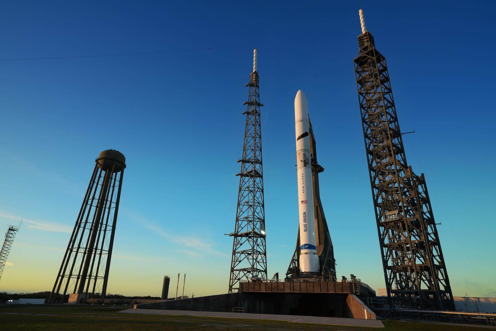
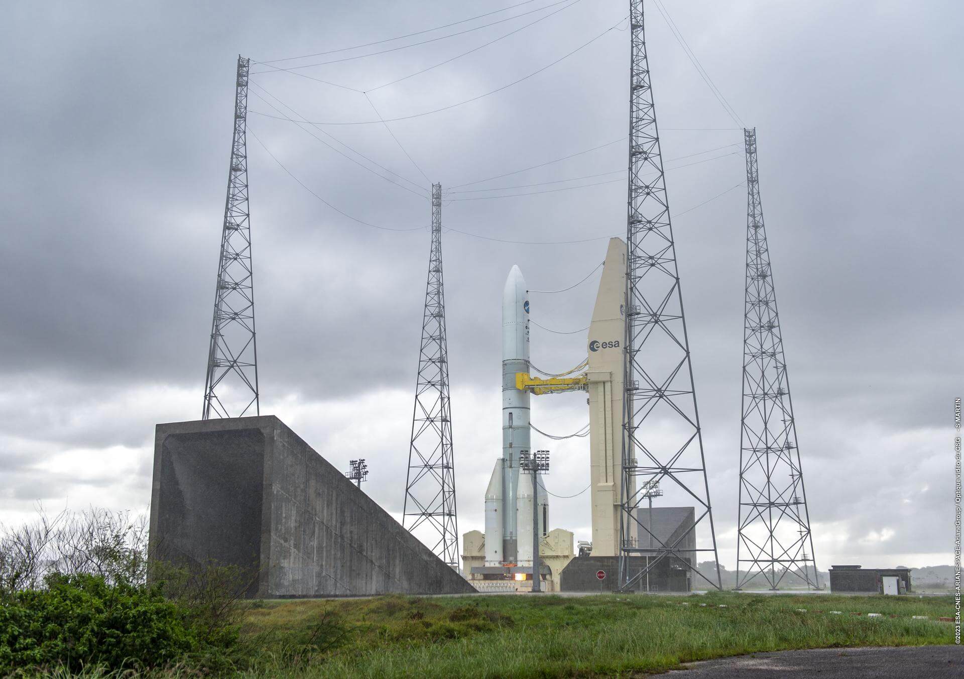
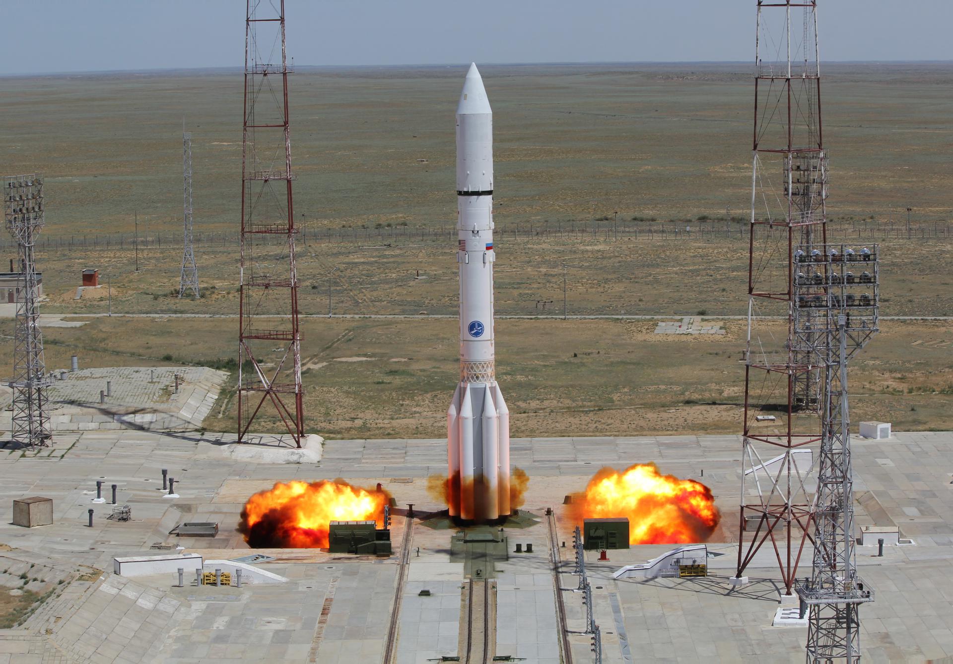
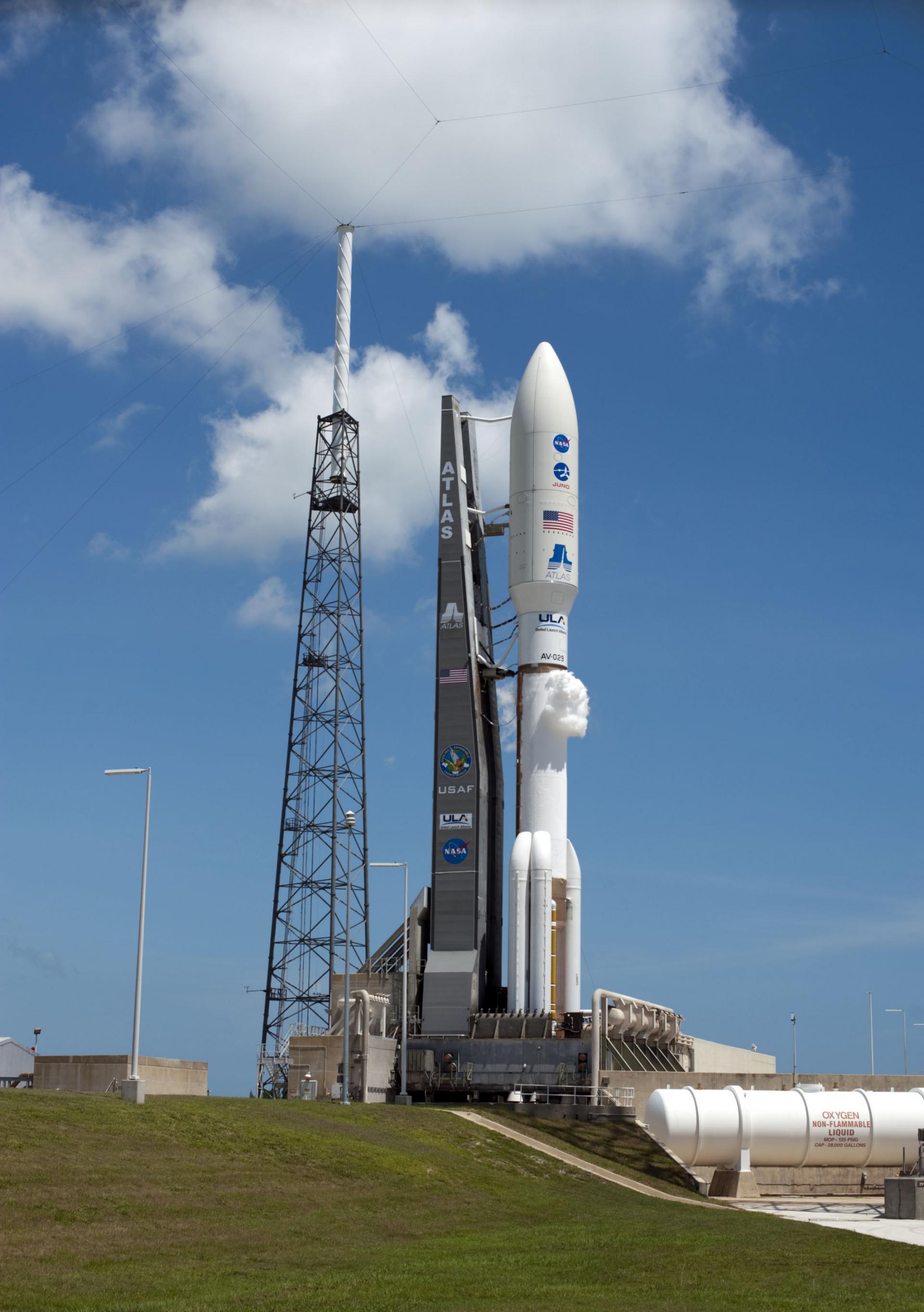
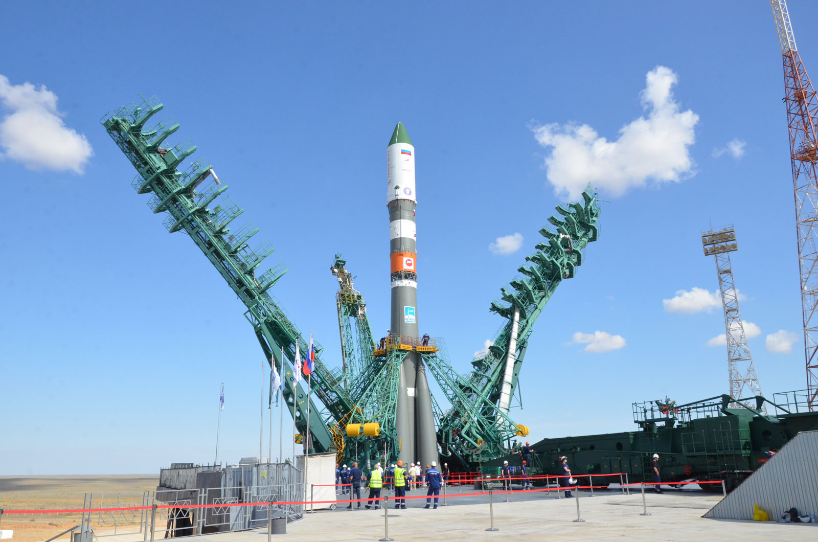
{ "count": 337, "next": "https://ll.thespacedevs.com/2.0.0/launch/upcoming/?format=api&limit=10&offset=280&ordering=-net", "previous": "https://ll.thespacedevs.com/2.0.0/launch/upcoming/?format=api&limit=10&offset=260&ordering=-net", "results": [ { "id": "f0460950-3cb6-4889-8cbe-707f063d0565", "url": "https://ll.thespacedevs.com/2.0.0/launch/f0460950-3cb6-4889-8cbe-707f063d0565/?format=api", "launch_library_id": null, "slug": "new-glenn-bluebird-block-2-4", "name": "New Glenn | BlueBird Block 2 #4", "status": { "id": 2, "name": "TBD" }, "net": "2025-12-31T00:00:00Z", "window_end": "2025-12-31T00:00:00Z", "window_start": "2025-12-31T00:00:00Z", "inhold": false, "tbdtime": true, "tbddate": true, "probability": null, "holdreason": "", "failreason": "", "hashtag": null, "launch_service_provider": { "id": 141, "url": "https://ll.thespacedevs.com/2.0.0/agencies/141/?format=api", "name": "Blue Origin", "type": "Commercial" }, "rocket": { "id": 8411, "configuration": { "id": 138, "launch_library_id": 1001, "url": "https://ll.thespacedevs.com/2.0.0/config/launcher/138/?format=api", "name": "New Glenn", "family": "", "full_name": "New Glenn", "variant": "" } }, "mission": { "id": 6999, "launch_library_id": null, "name": "BlueBird Block 2 #4", "description": "AST SpaceMobile’s Block 2 BlueBird satellites are designed to deliver up to 10 times the bandwidth capacity of the BlueBird Block 1 satellites, required to achieve 24/7 continuous cellular broadband service coverage in the United States, with beams designed to support a capacity of up to 40 MHz, enabling peak data transmission speeds up to 120 Mbps, supporting voice, full data and video applications. The Block 2 BlueBirds, featuring as large as 2400 square foot communications arrays, will be the largest satellites ever commercially deployed in Low Earth orbit once launched.\r\n\r\nThis launch will feature 8 satellites.", "launch_designator": null, "type": "Communications", "orbit": { "id": 8, "name": "Low Earth Orbit", "abbrev": "LEO" } }, "pad": { "id": 121, "url": "https://ll.thespacedevs.com/2.0.0/pad/121/?format=api", "agency_id": 161, "name": "Launch Complex 36A", "info_url": null, "wiki_url": "https://en.wikipedia.org/wiki/Cape_Canaveral_Launch_Complex_36", "map_url": "https://www.google.com/maps?q=28.4705556,-80.542194", "latitude": "28.4705556", "longitude": "-80.542194", "location": { "id": 12, "url": "https://ll.thespacedevs.com/2.0.0/location/12/?format=api", "name": "Cape Canaveral SFS, FL, USA", "country_code": "USA", "map_image": "https://thespacedevs-prod.nyc3.digitaloceanspaces.com/media/map_images/location_12_20200803142519.jpg", "total_launch_count": 1020, "total_landing_count": 64 }, "map_image": "https://thespacedevs-prod.nyc3.digitaloceanspaces.com/media/map_images/pad_121_20200803143231.jpg", "total_launch_count": 69 }, "webcast_live": false, "image": "https://thespacedevs-prod.nyc3.digitaloceanspaces.com/media/images/new_glenn_on_lc_image_20240313170026.jpeg", "infographic": null, "program": [] }, { "id": "f37de272-dcee-4bff-b473-63d024b5864e", "url": "https://ll.thespacedevs.com/2.0.0/launch/f37de272-dcee-4bff-b473-63d024b5864e/?format=api", "launch_library_id": null, "slug": "ariane-64-is-41-is-44", "name": "Ariane 64 | IS-41 & IS-44", "status": { "id": 2, "name": "TBD" }, "net": "2025-12-31T00:00:00Z", "window_end": "2025-12-31T00:00:00Z", "window_start": "2025-12-31T00:00:00Z", "inhold": false, "tbdtime": false, "tbddate": false, "probability": null, "holdreason": "", "failreason": "", "hashtag": null, "launch_service_provider": { "id": 115, "url": "https://ll.thespacedevs.com/2.0.0/agencies/115/?format=api", "name": "Arianespace", "type": "Commercial" }, "rocket": { "id": 7722, "configuration": { "id": 116, "launch_library_id": 165, "url": "https://ll.thespacedevs.com/2.0.0/config/launcher/116/?format=api", "name": "Ariane 64", "family": "Ariane", "full_name": "Ariane 64", "variant": "64" } }, "mission": { "id": 6241, "launch_library_id": null, "name": "IS-41 & IS-44", "description": "Two geostationary communications satellites built by Thales Alenia Space for Intelsat.", "launch_designator": null, "type": "Communications", "orbit": { "id": 2, "name": "Geostationary Transfer Orbit", "abbrev": "GTO" } }, "pad": { "id": 67, "url": "https://ll.thespacedevs.com/2.0.0/pad/67/?format=api", "agency_id": 115, "name": "Ariane Launch Area 4", "info_url": null, "wiki_url": "https://en.wikipedia.org/wiki/Guiana_Space_Centre", "map_url": "https://www.google.com/maps?q=5.256319,-52.786838", "latitude": "5.256319", "longitude": "-52.786838", "location": { "id": 13, "url": "https://ll.thespacedevs.com/2.0.0/location/13/?format=api", "name": "Guiana Space Centre, French Guiana", "country_code": "GUF", "map_image": "https://thespacedevs-prod.nyc3.digitaloceanspaces.com/media/map_images/location_13_20200803142412.jpg", "total_launch_count": 325, "total_landing_count": 0 }, "map_image": "https://thespacedevs-prod.nyc3.digitaloceanspaces.com/media/map_images/pad_67_20200803143559.jpg", "total_launch_count": 2 }, "webcast_live": false, "image": "https://thespacedevs-prod.nyc3.digitaloceanspaces.com/media/images/ariane_6_image_20240125142128.jpeg", "infographic": null, "program": [] }, { "id": "f7a003eb-6eab-48e0-8c53-4ee9b1252696", "url": "https://ll.thespacedevs.com/2.0.0/launch/f7a003eb-6eab-48e0-8c53-4ee9b1252696/?format=api", "launch_library_id": 1214, "slug": "proton-mblok-dm-03-elektro-l-no5", "name": "Proton-M/Blok DM-03 | Elektro-L No.5", "status": { "id": 2, "name": "TBD" }, "net": "2025-12-31T00:00:00Z", "window_end": "2025-12-31T00:00:00Z", "window_start": "2025-12-31T00:00:00Z", "inhold": false, "tbdtime": true, "tbddate": true, "probability": null, "holdreason": "", "failreason": "", "hashtag": null, "launch_service_provider": { "id": 96, "url": "https://ll.thespacedevs.com/2.0.0/agencies/96/?format=api", "name": "Khrunichev State Research and Production Space Center", "type": "Government" }, "rocket": { "id": 181, "configuration": { "id": 46, "launch_library_id": 62, "url": "https://ll.thespacedevs.com/2.0.0/config/launcher/46/?format=api", "name": "Proton-M", "family": "Proton / UR-500", "full_name": "Proton-M Blok DM-03", "variant": "M Blok DM-03" } }, "mission": { "id": 6708, "launch_library_id": null, "name": "Elektro-L No.5", "description": "Elektro-L is a series of meteorological satellites developed for the Russian Federal Space Agency by NPO Lavochkin. They are designed to capture real-time images of clouds and the Earth's underlying surface, heliogeophysical measurements, collection and translating hydrometeorological and service data.", "launch_designator": null, "type": "Earth Science", "orbit": { "id": 1, "name": "Geostationary Orbit", "abbrev": "Direct-GEO" } }, "pad": { "id": 68, "url": "https://ll.thespacedevs.com/2.0.0/pad/68/?format=api", "agency_id": null, "name": "Unknown Pad", "info_url": null, "wiki_url": "", "map_url": "https://www.google.com/maps?q=45.92,63.342", "latitude": "45.92", "longitude": "63.342", "location": { "id": 15, "url": "https://ll.thespacedevs.com/2.0.0/location/15/?format=api", "name": "Baikonur Cosmodrome, Republic of Kazakhstan", "country_code": "KAZ", "map_image": "https://thespacedevs-prod.nyc3.digitaloceanspaces.com/media/map_images/location_15_20200803142517.jpg", "total_launch_count": 1555, "total_landing_count": 0 }, "map_image": "https://thespacedevs-prod.nyc3.digitaloceanspaces.com/media/map_images/pad_68_20200803143521.jpg", "total_launch_count": 0 }, "webcast_live": false, "image": "https://thespacedevs-prod.nyc3.digitaloceanspaces.com/media/images/proton-m_image_20191211081456.jpeg", "infographic": null, "program": [] }, { "id": "f9e4852a-fba8-4937-9a86-5a05b3244fb1", "url": "https://ll.thespacedevs.com/2.0.0/launch/f9e4852a-fba8-4937-9a86-5a05b3244fb1/?format=api", "launch_library_id": null, "slug": "electron-blacksky-gen-3-3", "name": "Electron | BlackSky Gen-3 3", "status": { "id": 2, "name": "TBD" }, "net": "2025-12-31T00:00:00Z", "window_end": "2025-12-31T00:00:00Z", "window_start": "2025-12-31T00:00:00Z", "inhold": false, "tbdtime": true, "tbddate": true, "probability": null, "holdreason": "", "failreason": "", "hashtag": null, "launch_service_provider": { "id": 147, "url": "https://ll.thespacedevs.com/2.0.0/agencies/147/?format=api", "name": "Rocket Lab", "type": "Commercial" }, "rocket": { "id": 7980, "configuration": { "id": 26, "launch_library_id": 148, "url": "https://ll.thespacedevs.com/2.0.0/config/launcher/26/?format=api", "name": "Electron", "family": "", "full_name": "Electron", "variant": "" } }, "mission": { "id": 6503, "launch_library_id": null, "name": "BlackSky Gen-3 3", "description": "BlackSky Gen-3 Earth-imaging satellites", "launch_designator": null, "type": "Earth Science", "orbit": { "id": 8, "name": "Low Earth Orbit", "abbrev": "LEO" } }, "pad": { "id": 210, "url": "https://ll.thespacedevs.com/2.0.0/pad/210/?format=api", "agency_id": null, "name": "Unknown Pad", "info_url": null, "wiki_url": null, "map_url": null, "latitude": "-39.260881", "longitude": "177.865826", "location": { "id": 10, "url": "https://ll.thespacedevs.com/2.0.0/location/10/?format=api", "name": "Rocket Lab Launch Complex 1, Mahia Peninsula, New Zealand", "country_code": "NZL", "map_image": "https://thespacedevs-prod.nyc3.digitaloceanspaces.com/media/map_images/location_10_20200803142509.jpg", "total_launch_count": 57, "total_landing_count": 17 }, "map_image": "https://thespacedevs-prod.nyc3.digitaloceanspaces.com/media/map_images/pad_210_20230819165718.jpg", "total_launch_count": 0 }, "webcast_live": false, "image": "https://thespacedevs-prod.nyc3.digitaloceanspaces.com/media/images/electron_image_20190705175640.jpeg", "infographic": null, "program": [] }, { "id": "fa895702-687b-4ba3-95fb-9462a2c9844b", "url": "https://ll.thespacedevs.com/2.0.0/launch/fa895702-687b-4ba3-95fb-9462a2c9844b/?format=api", "launch_library_id": null, "slug": "falcon-9-block-5-rivada-5", "name": "Falcon 9 Block 5 | Rivada 5", "status": { "id": 2, "name": "TBD" }, "net": "2025-12-31T00:00:00Z", "window_end": "2025-12-31T00:00:00Z", "window_start": "2025-12-31T00:00:00Z", "inhold": false, "tbdtime": true, "tbddate": true, "probability": null, "holdreason": "", "failreason": "", "hashtag": null, "launch_service_provider": { "id": 121, "url": "https://ll.thespacedevs.com/2.0.0/agencies/121/?format=api", "name": "SpaceX", "type": "Commercial" }, "rocket": { "id": 7803, "configuration": { "id": 164, "launch_library_id": 188, "url": "https://ll.thespacedevs.com/2.0.0/config/launcher/164/?format=api", "name": "Falcon 9", "family": "Falcon", "full_name": "Falcon 9 Block 5", "variant": "Block 5" } }, "mission": { "id": 6571, "launch_library_id": null, "name": "Rivada 5", "description": "24 satellites for Rivada's internet constellation.", "launch_designator": null, "type": "Communications", "orbit": { "id": 13, "name": "Polar Orbit", "abbrev": "PO" } }, "pad": { "id": 16, "url": "https://ll.thespacedevs.com/2.0.0/pad/16/?format=api", "agency_id": null, "name": "Space Launch Complex 4E", "info_url": null, "wiki_url": "https://en.wikipedia.org/wiki/Vandenberg_Space_Launch_Complex_4#SLC-4E", "map_url": "https://www.google.com/maps?q=34.632,-120.611", "latitude": "34.632", "longitude": "-120.611", "location": { "id": 11, "url": "https://ll.thespacedevs.com/2.0.0/location/11/?format=api", "name": "Vandenberg SFB, CA, USA", "country_code": "USA", "map_image": "https://thespacedevs-prod.nyc3.digitaloceanspaces.com/media/map_images/location_11_20200803142416.jpg", "total_launch_count": 804, "total_landing_count": 26 }, "map_image": "https://thespacedevs-prod.nyc3.digitaloceanspaces.com/media/map_images/pad_16_20200803143532.jpg", "total_launch_count": 190 }, "webcast_live": false, "image": "https://thespacedevs-prod.nyc3.digitaloceanspaces.com/media/images/falcon_9_image_20230807133459.jpeg", "infographic": null, "program": [] }, { "id": "fc69c107-b0ad-47e9-8973-9de75a7c6b6d", "url": "https://ll.thespacedevs.com/2.0.0/launch/fc69c107-b0ad-47e9-8973-9de75a7c6b6d/?format=api", "launch_library_id": null, "slug": "electron-iqps-launch-4", "name": "Electron | iQPS Launch 4", "status": { "id": 2, "name": "TBD" }, "net": "2025-12-31T00:00:00Z", "window_end": "2025-12-31T00:00:00Z", "window_start": "2025-12-31T00:00:00Z", "inhold": false, "tbdtime": true, "tbddate": true, "probability": null, "holdreason": "", "failreason": "", "hashtag": null, "launch_service_provider": { "id": 147, "url": "https://ll.thespacedevs.com/2.0.0/agencies/147/?format=api", "name": "Rocket Lab", "type": "Commercial" }, "rocket": { "id": 8521, "configuration": { "id": 26, "launch_library_id": 148, "url": "https://ll.thespacedevs.com/2.0.0/config/launcher/26/?format=api", "name": "Electron", "family": "", "full_name": "Electron", "variant": "" } }, "mission": { "id": 7111, "launch_library_id": null, "name": "iQPS Launch 4", "description": "Synthetic aperture radar Earth observation satellite for Japanese Earth imaging company iQPS.", "launch_designator": null, "type": "Earth Science", "orbit": { "id": 8, "name": "Low Earth Orbit", "abbrev": "LEO" } }, "pad": { "id": 210, "url": "https://ll.thespacedevs.com/2.0.0/pad/210/?format=api", "agency_id": null, "name": "Unknown Pad", "info_url": null, "wiki_url": null, "map_url": null, "latitude": "-39.260881", "longitude": "177.865826", "location": { "id": 10, "url": "https://ll.thespacedevs.com/2.0.0/location/10/?format=api", "name": "Rocket Lab Launch Complex 1, Mahia Peninsula, New Zealand", "country_code": "NZL", "map_image": "https://thespacedevs-prod.nyc3.digitaloceanspaces.com/media/map_images/location_10_20200803142509.jpg", "total_launch_count": 57, "total_landing_count": 17 }, "map_image": "https://thespacedevs-prod.nyc3.digitaloceanspaces.com/media/map_images/pad_210_20230819165718.jpg", "total_launch_count": 0 }, "webcast_live": false, "image": "https://thespacedevs-prod.nyc3.digitaloceanspaces.com/media/images/electron_image_20190705175640.jpeg", "infographic": null, "program": [] }, { "id": "ff0a6a32-6513-4e85-9fd8-a2d022add74d", "url": "https://ll.thespacedevs.com/2.0.0/launch/ff0a6a32-6513-4e85-9fd8-a2d022add74d/?format=api", "launch_library_id": null, "slug": "atlas-v-551-project-kuiper-ka-07", "name": "Atlas V 551 | Project Kuiper (KA-07)", "status": { "id": 2, "name": "TBD" }, "net": "2025-12-31T00:00:00Z", "window_end": "2025-12-31T00:00:00Z", "window_start": "2025-12-31T00:00:00Z", "inhold": false, "tbdtime": true, "tbddate": true, "probability": null, "holdreason": "", "failreason": "", "hashtag": null, "launch_service_provider": { "id": 124, "url": "https://ll.thespacedevs.com/2.0.0/agencies/124/?format=api", "name": "United Launch Alliance", "type": "Commercial" }, "rocket": { "id": 180, "configuration": { "id": 27, "launch_library_id": 37, "url": "https://ll.thespacedevs.com/2.0.0/config/launcher/27/?format=api", "name": "Atlas V 551", "family": "Atlas", "full_name": "Atlas V 551", "variant": "551" } }, "mission": { "id": 5999, "launch_library_id": null, "name": "Project Kuiper (KA-07)", "description": "Project Kuiper is a mega constellation of satellites in Low Earth Orbit that will offer broadband internet access, this constellation will be managed by Kuiper Systems LLC, a subsidiary of Amazon. This constellation is planned to be composed of 3,276 satellites. The satellites are projected to be placed in 98 orbital planes in three orbital layers, one at 590 km, 610 km and 630 km altitude.", "launch_designator": null, "type": "Communications", "orbit": { "id": 8, "name": "Low Earth Orbit", "abbrev": "LEO" } }, "pad": { "id": 29, "url": "https://ll.thespacedevs.com/2.0.0/pad/29/?format=api", "agency_id": null, "name": "Space Launch Complex 41", "info_url": null, "wiki_url": "https://en.wikipedia.org/wiki/Cape_Canaveral_Air_Force_Station_Space_Launch_Complex_41", "map_url": "https://www.google.com/maps?q=28.58341025,-80.58303644", "latitude": "28.58341025", "longitude": "-80.58303644", "location": { "id": 12, "url": "https://ll.thespacedevs.com/2.0.0/location/12/?format=api", "name": "Cape Canaveral SFS, FL, USA", "country_code": "USA", "map_image": "https://thespacedevs-prod.nyc3.digitaloceanspaces.com/media/map_images/location_12_20200803142519.jpg", "total_launch_count": 1020, "total_landing_count": 64 }, "map_image": "https://thespacedevs-prod.nyc3.digitaloceanspaces.com/media/map_images/pad_29_20200803143528.jpg", "total_launch_count": 115 }, "webcast_live": false, "image": "https://thespacedevs-prod.nyc3.digitaloceanspaces.com/media/images/atlas2520v2520551_image_20190224012316.jpeg", "infographic": null, "program": [ { "id": 27, "url": "https://ll.thespacedevs.com/2.0.0/program/27/?format=api", "name": "Project Kuiper", "description": "Amazon's Kuiper Project is a satellite internet initiative aimed at providing high-speed, low-latency broadband connectivity to underserved and remote areas globally. The project involves deploying a constellation of low Earth orbit (LEO) satellites to create a satellite internet network capable of delivering reliable internet access.", "agencies": [ { "id": 1058, "url": "https://ll.thespacedevs.com/2.0.0/agencies/1058/?format=api", "name": "Kuiper Systems LLC", "type": "Private" } ], "image_url": "https://thespacedevs-prod.nyc3.digitaloceanspaces.com/media/images/project2520kui_program_20231228165031.jpeg", "start_date": "2023-10-16T18:06:00Z", "end_date": null, "info_url": "https://en.wikipedia.org/wiki/Kuiper_Systems", "wiki_url": "http://aboutamazon.com/what-we-do/devices-services/project-kuiper" } ] }, { "id": "cf34aee7-a118-433b-8337-05b2c6892815", "url": "https://ll.thespacedevs.com/2.0.0/launch/cf34aee7-a118-433b-8337-05b2c6892815/?format=api", "launch_library_id": null, "slug": "soyuz-21a-progress-ms-33-94p", "name": "Soyuz 2.1a | Progress MS-33 (94P)", "status": { "id": 2, "name": "TBD" }, "net": "2025-12-19T00:00:00Z", "window_end": "2025-12-19T00:00:00Z", "window_start": "2025-12-19T00:00:00Z", "inhold": false, "tbdtime": true, "tbddate": false, "probability": null, "holdreason": "", "failreason": "", "hashtag": null, "launch_service_provider": { "id": 63, "url": "https://ll.thespacedevs.com/2.0.0/agencies/63/?format=api", "name": "Russian Federal Space Agency (ROSCOSMOS)", "type": "Government" }, "rocket": { "id": 8431, "configuration": { "id": 24, "launch_library_id": 49, "url": "https://ll.thespacedevs.com/2.0.0/config/launcher/24/?format=api", "name": "Soyuz 2.1a", "family": "Soyuz", "full_name": "Soyuz 2.1a", "variant": "" } }, "mission": { "id": 7020, "launch_library_id": null, "name": "Progress MS-33 (94P)", "description": "Progress resupply mission to the International Space Station.", "launch_designator": null, "type": "Resupply", "orbit": { "id": 8, "name": "Low Earth Orbit", "abbrev": "LEO" } }, "pad": { "id": 20, "url": "https://ll.thespacedevs.com/2.0.0/pad/20/?format=api", "agency_id": null, "name": "31/6", "info_url": null, "wiki_url": "https://en.wikipedia.org/wiki/Baikonur_Cosmodrome_Site_31", "map_url": "https://www.google.com/maps?q=45.996034,63.564003", "latitude": "45.996034", "longitude": "63.564003", "location": { "id": 15, "url": "https://ll.thespacedevs.com/2.0.0/location/15/?format=api", "name": "Baikonur Cosmodrome, Republic of Kazakhstan", "country_code": "KAZ", "map_image": "https://thespacedevs-prod.nyc3.digitaloceanspaces.com/media/map_images/location_15_20200803142517.jpg", "total_launch_count": 1555, "total_landing_count": 0 }, "map_image": "https://thespacedevs-prod.nyc3.digitaloceanspaces.com/media/map_images/pad_20_20200803143516.jpg", "total_launch_count": 422 }, "webcast_live": false, "image": "https://thespacedevs-prod.nyc3.digitaloceanspaces.com/media/images/soyuz_2.1a_image_20230805184309.jpg", "infographic": null, "program": [ { "id": 17, "url": "https://ll.thespacedevs.com/2.0.0/program/17/?format=api", "name": "International Space Station", "description": "The International Space Station programme is tied together by a complex set of legal, political and financial agreements between the sixteen nations involved in the project, governing ownership of the various components, rights to crewing and utilization, and responsibilities for crew rotation and resupply of the International Space Station. It was conceived in 1984 by President Ronald Reagan, during the Space Station Freedom project as it was originally called.", "agencies": [ { "id": 16, "url": "https://ll.thespacedevs.com/2.0.0/agencies/16/?format=api", "name": "Canadian Space Agency", "type": "Government" }, { "id": 27, "url": "https://ll.thespacedevs.com/2.0.0/agencies/27/?format=api", "name": "European Space Agency", "type": "Multinational" }, { "id": 37, "url": "https://ll.thespacedevs.com/2.0.0/agencies/37/?format=api", "name": "Japan Aerospace Exploration Agency", "type": "Government" }, { "id": 44, "url": "https://ll.thespacedevs.com/2.0.0/agencies/44/?format=api", "name": "National Aeronautics and Space Administration", "type": "Government" }, { "id": 63, "url": "https://ll.thespacedevs.com/2.0.0/agencies/63/?format=api", "name": "Russian Federal Space Agency (ROSCOSMOS)", "type": "Government" } ], "image_url": "https://thespacedevs-prod.nyc3.digitaloceanspaces.com/media/images/international2_program_20201129184745.png", "start_date": "1998-11-20T06:40:00Z", "end_date": null, "info_url": "https://www.nasa.gov/mission_pages/station/main/index.html", "wiki_url": "https://en.wikipedia.org/wiki/International_Space_Station_programme" } ] }, { "id": "5c7280f6-b793-4899-a6fe-1d274ed46493", "url": "https://ll.thespacedevs.com/2.0.0/launch/5c7280f6-b793-4899-a6fe-1d274ed46493/?format=api", "launch_library_id": null, "slug": "nuri-cas500-3", "name": "Nuri | CAS500-3", "status": { "id": 2, "name": "TBD" }, "net": "2025-11-30T00:00:00Z", "window_end": "2025-11-30T00:00:00Z", "window_start": "2025-11-30T00:00:00Z", "inhold": false, "tbdtime": true, "tbddate": true, "probability": null, "holdreason": "", "failreason": "", "hashtag": null, "launch_service_provider": { "id": 41, "url": "https://ll.thespacedevs.com/2.0.0/agencies/41/?format=api", "name": "Korea Aerospace Research Institute", "type": "Government" }, "rocket": { "id": 8507, "configuration": { "id": 117, "launch_library_id": 169, "url": "https://ll.thespacedevs.com/2.0.0/config/launcher/117/?format=api", "name": "Nuri", "family": "KSLV", "full_name": "KSLV-2 Nuri", "variant": "2" } }, "mission": { "id": 7096, "launch_library_id": null, "name": "CAS500-3", "description": "CAS500-3 is a South Korean Earth observation satellites to be used by the Ministry of Science and ICT for space technology verification and space science research.", "launch_designator": null, "type": "Earth Science", "orbit": { "id": 17, "name": "Sun-Synchronous Orbit", "abbrev": "SSO" } }, "pad": { "id": 192, "url": "https://ll.thespacedevs.com/2.0.0/pad/192/?format=api", "agency_id": 41, "name": "LC-2", "info_url": null, "wiki_url": "https://en.wikipedia.org/wiki/Naro_Space_Center", "map_url": "https://www.google.com/maps?q=34.431867,127.535069", "latitude": "34.431867", "longitude": "127.535069", "location": { "id": 9, "url": "https://ll.thespacedevs.com/2.0.0/location/9/?format=api", "name": "Naro Space Center, South Korea", "country_code": "KOR", "map_image": "https://thespacedevs-prod.nyc3.digitaloceanspaces.com/media/map_images/location_9_20200803142441.jpg", "total_launch_count": 7, "total_landing_count": 0 }, "map_image": "https://thespacedevs-prod.nyc3.digitaloceanspaces.com/media/map_images/pad_lc-2_20210812070305.jpg", "total_launch_count": 4 }, "webcast_live": false, "image": "https://thespacedevs-prod.nyc3.digitaloceanspaces.com/media/images/nuri_liftoff_2_image_20240820080542.jpeg", "infographic": null, "program": [] }, { "id": "90232cff-15ff-4755-8a56-4ed544767665", "url": "https://ll.thespacedevs.com/2.0.0/launch/90232cff-15ff-4755-8a56-4ed544767665/?format=api", "launch_library_id": null, "slug": "pslv-xl-oceansat-3a", "name": "PSLV-XL | Oceansat-3A", "status": { "id": 2, "name": "TBD" }, "net": "2025-11-30T00:00:00Z", "window_end": "2025-11-30T00:00:00Z", "window_start": "2025-11-30T00:00:00Z", "inhold": false, "tbdtime": true, "tbddate": true, "probability": null, "holdreason": "", "failreason": "", "hashtag": null, "launch_service_provider": { "id": 31, "url": "https://ll.thespacedevs.com/2.0.0/agencies/31/?format=api", "name": "Indian Space Research Organization", "type": "Government" }, "rocket": { "id": 8514, "configuration": { "id": 38, "launch_library_id": 38, "url": "https://ll.thespacedevs.com/2.0.0/config/launcher/38/?format=api", "name": "PSLV-XL", "family": "PSLV", "full_name": "PSLV XL", "variant": "XL" } }, "mission": { "id": 7104, "launch_library_id": null, "name": "Oceansat-3A", "description": "Oceansat-3A is a part of ISRO's Oceansat program. Its main purpose is ocean observation, which includes gathering ocean color data, sea surface temperature measurements and wind vector data.", "launch_designator": null, "type": "Earth Science", "orbit": { "id": 17, "name": "Sun-Synchronous Orbit", "abbrev": "SSO" } }, "pad": { "id": 50, "url": "https://ll.thespacedevs.com/2.0.0/pad/50/?format=api", "agency_id": 31, "name": "Satish Dhawan Space Centre First Launch Pad", "info_url": null, "wiki_url": "https://en.wikipedia.org/wiki/Satish_Dhawan_Space_Centre_First_Launch_Pad", "map_url": "https://www.google.com/maps?q=13.733,80.235", "latitude": "13.733", "longitude": "80.235", "location": { "id": 14, "url": "https://ll.thespacedevs.com/2.0.0/location/14/?format=api", "name": "Satish Dhawan Space Centre, India", "country_code": "IND", "map_image": "https://thespacedevs-prod.nyc3.digitaloceanspaces.com/media/map_images/location_14_20200803142403.jpg", "total_launch_count": 98, "total_landing_count": 0 }, "map_image": "https://thespacedevs-prod.nyc3.digitaloceanspaces.com/media/map_images/pad_50_20200803143457.jpg", "total_launch_count": 61 }, "webcast_live": false, "image": "https://thespacedevs-prod.nyc3.digitaloceanspaces.com/media/images/pslv_image_20190224012254.jpeg", "infographic": null, "program": [] } ] }