Upcoming Launch List
API endpoint that returns future Launch objects and launches from the last twenty four hours.
GET: Return a list of future Launches
FILTERS: Fields - 'name', 'id(s)', 'lsp_id', 'lsp_name', 'launcher_config__id',
MODE: 'normal', 'list', 'detailed' EXAMPLE: ?mode=list
SEARCH: Searches through the launch name, rocket name, launch agency and mission name. EXAMPLE - ?search=SpaceX
GET /2.0.0/launch/upcoming/?format=api&offset=244&ordering=-net
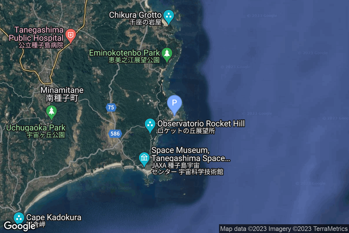
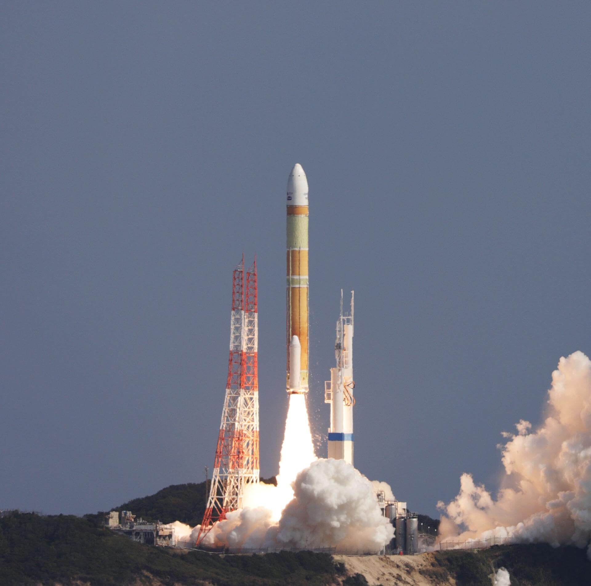
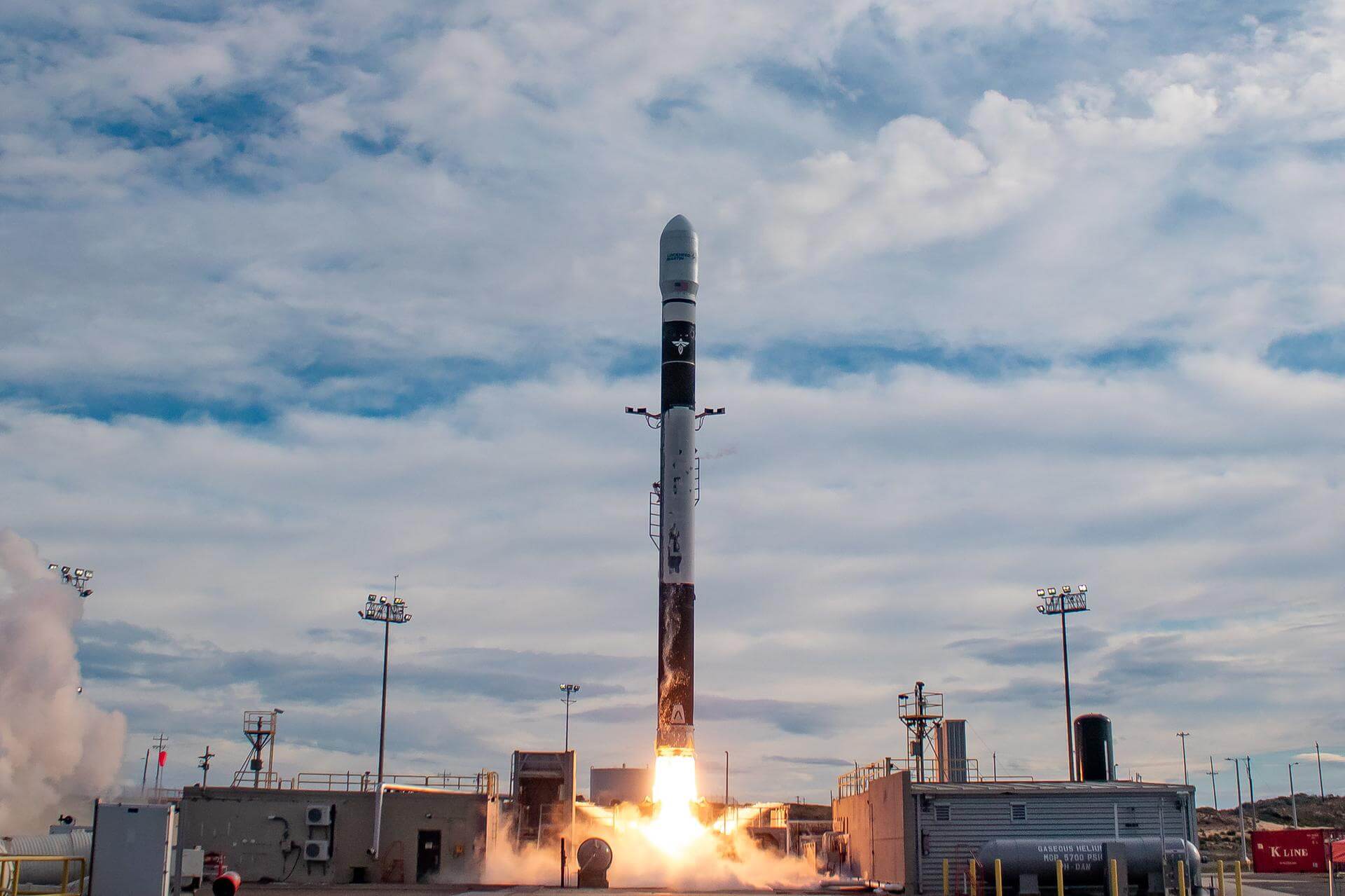
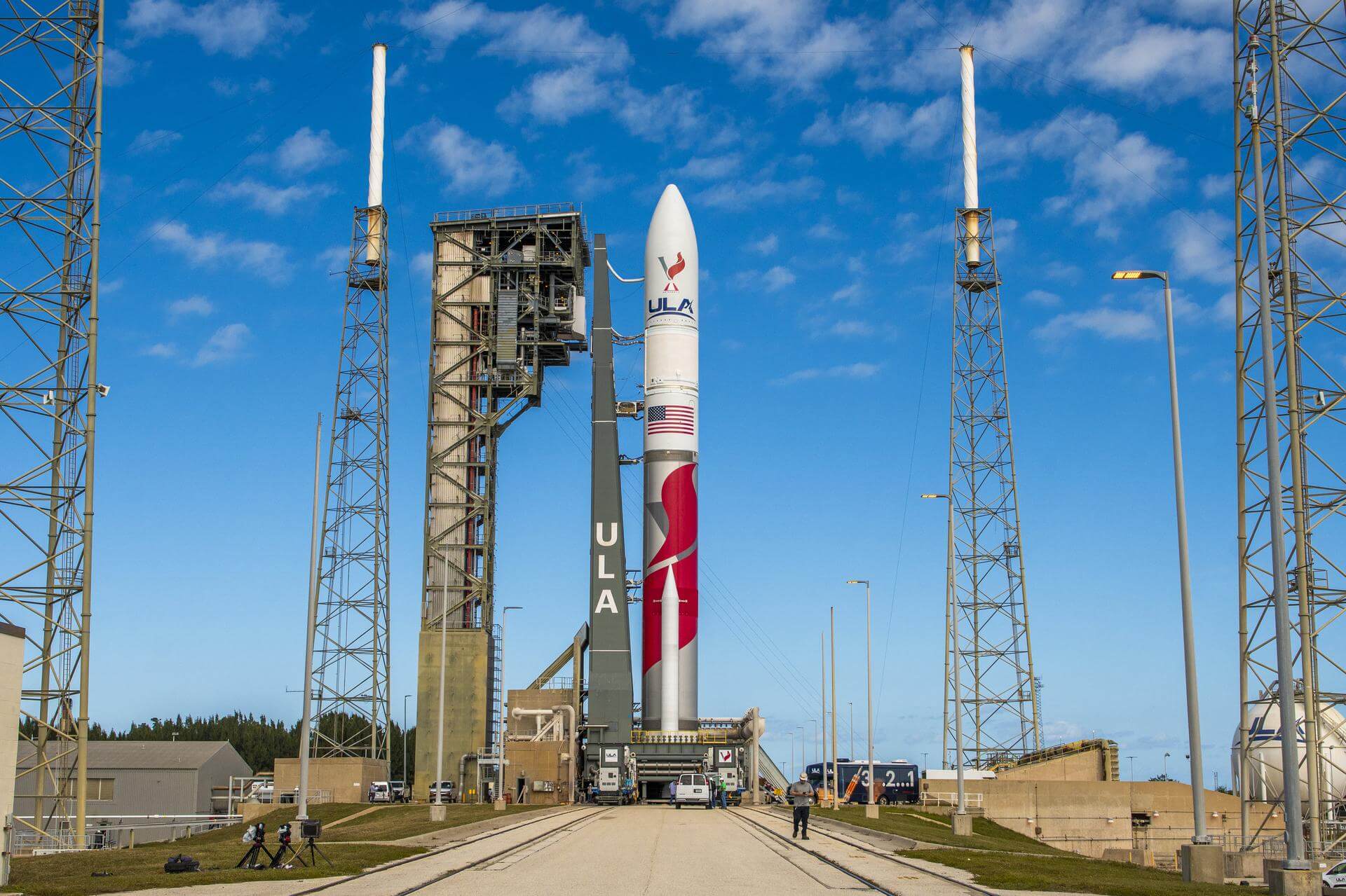
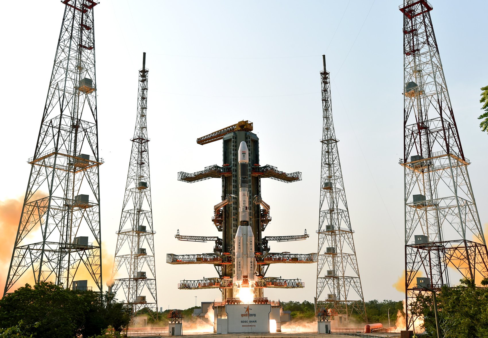
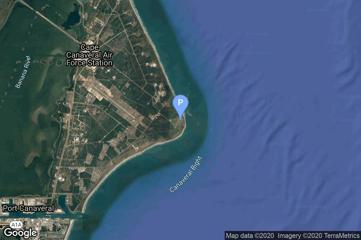
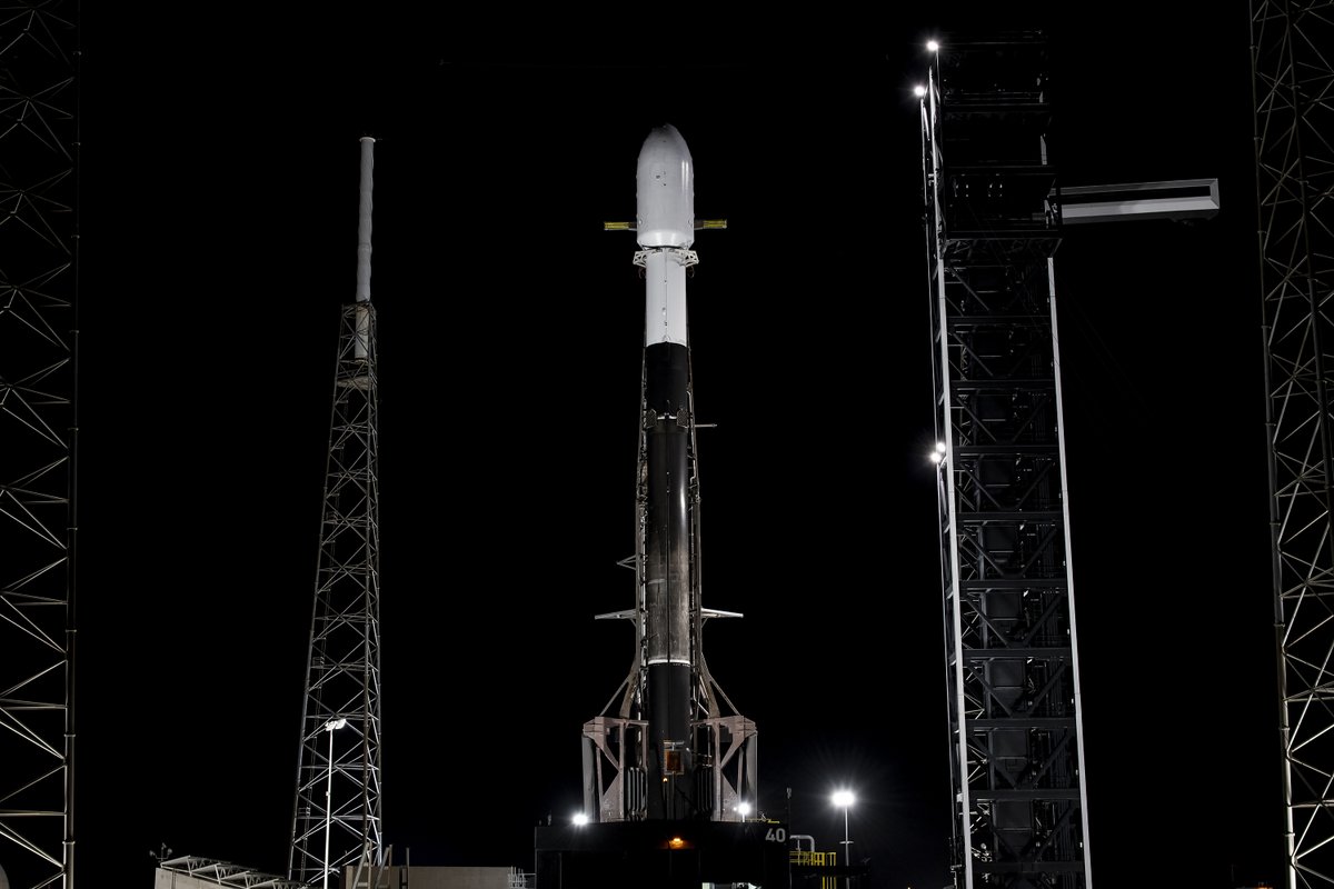
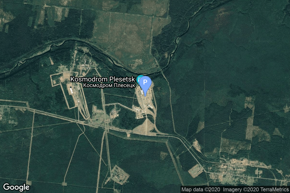
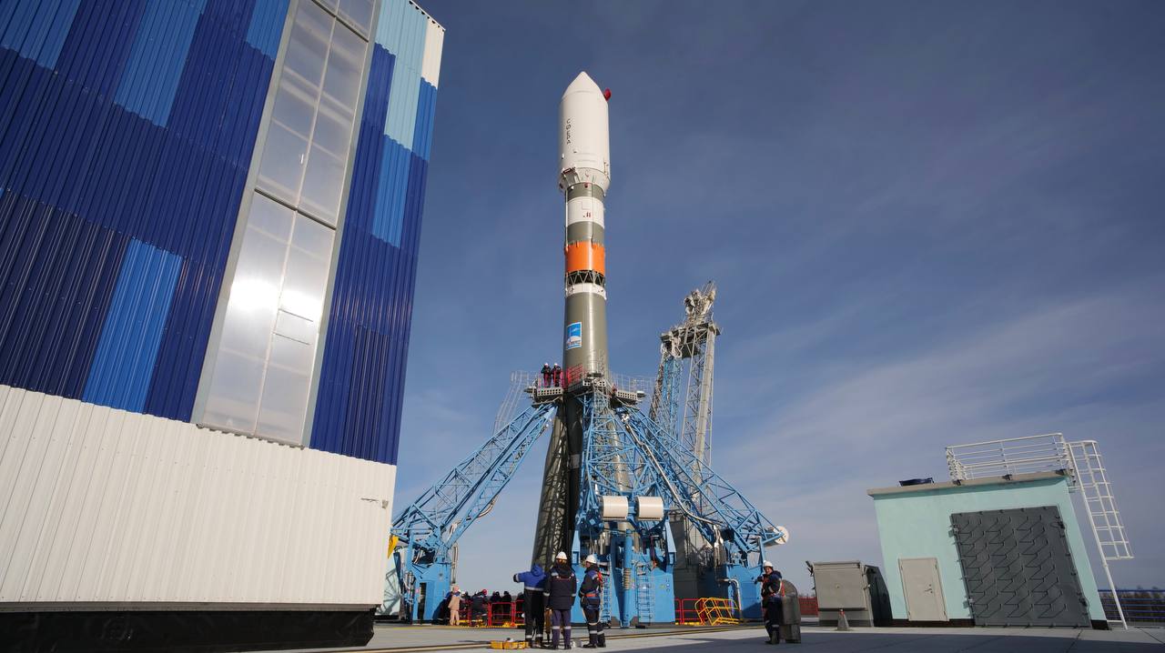
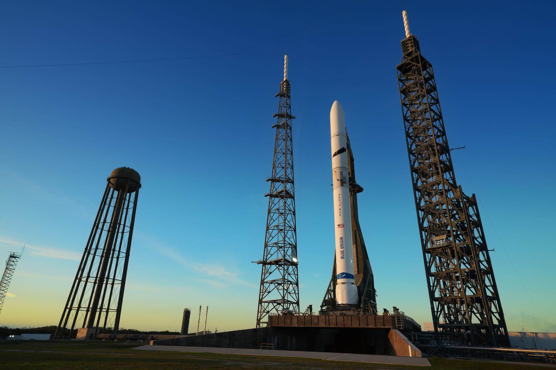
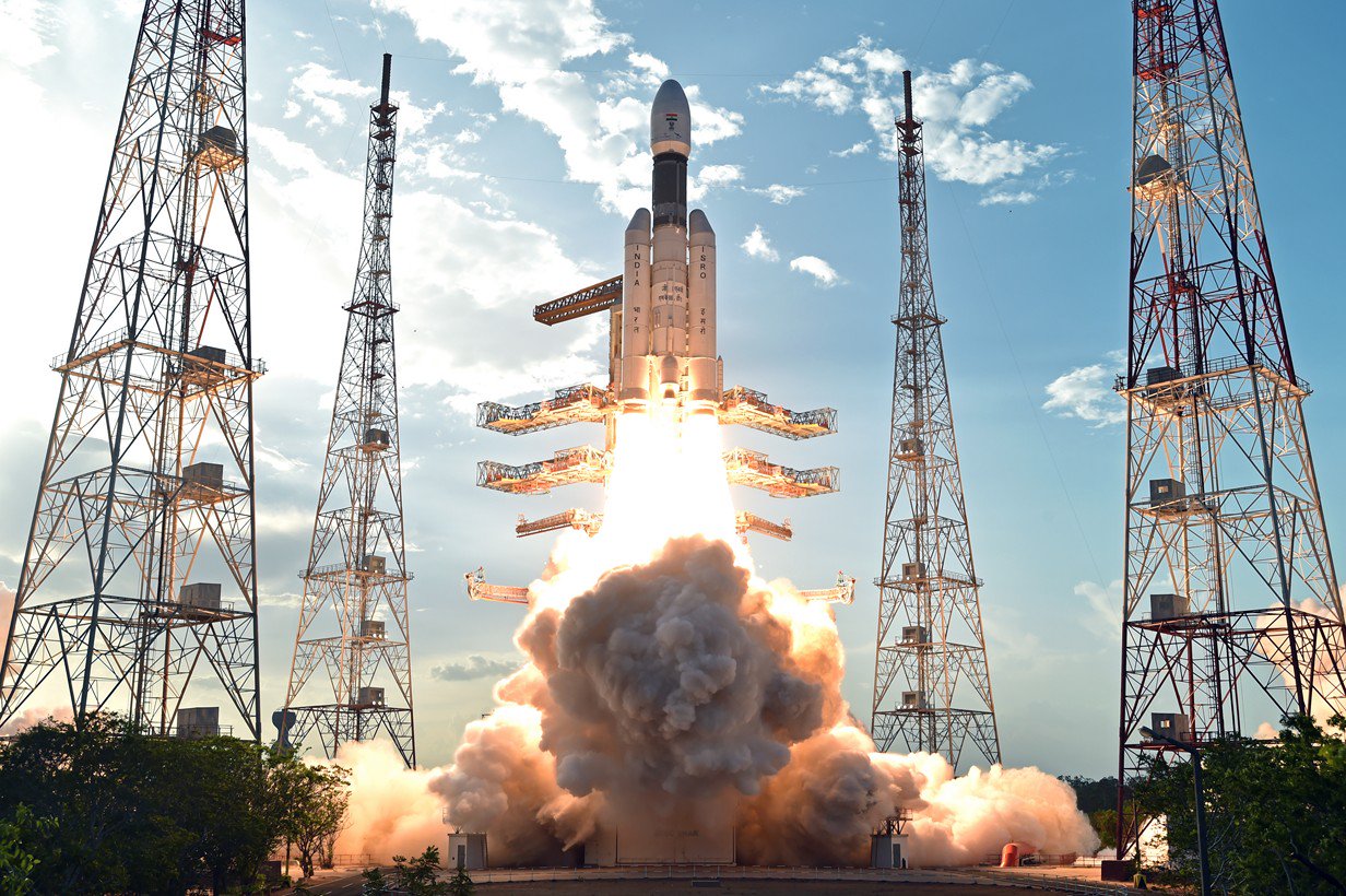
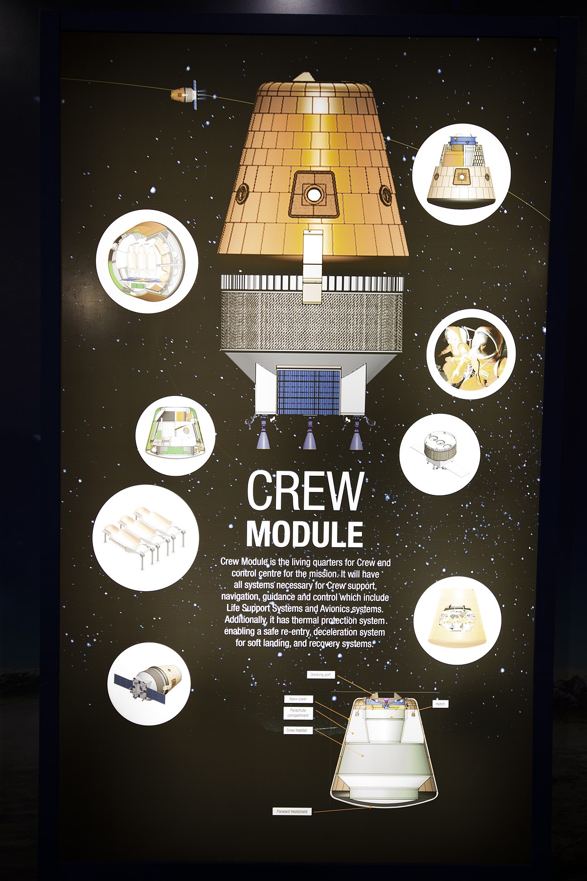
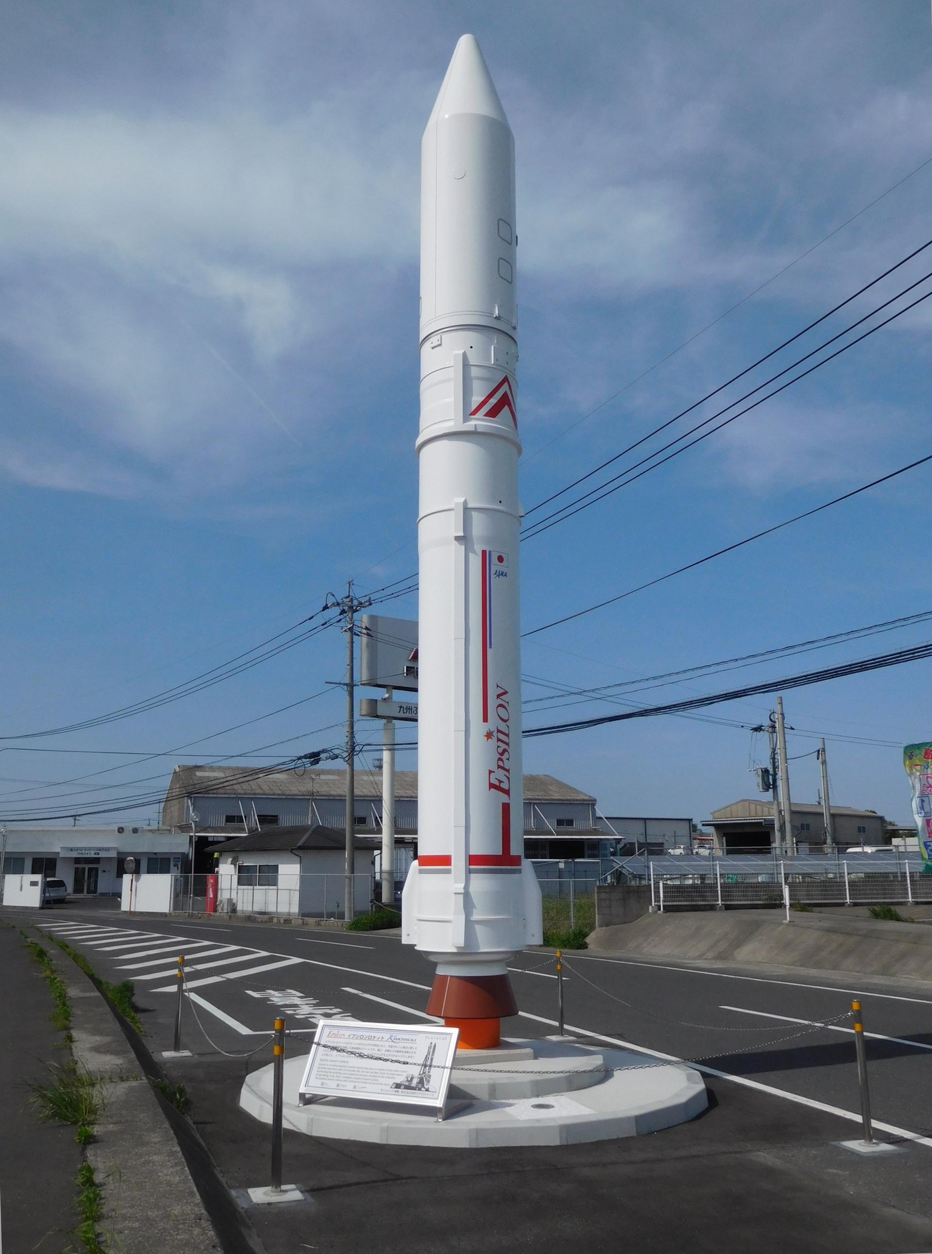
{ "count": 337, "next": "https://ll.thespacedevs.com/2.0.0/launch/upcoming/?format=api&limit=10&offset=254&ordering=-net", "previous": "https://ll.thespacedevs.com/2.0.0/launch/upcoming/?format=api&limit=10&offset=234&ordering=-net", "results": [ { "id": "b89ab080-66c3-4831-85a9-38d85da71d30", "url": "https://ll.thespacedevs.com/2.0.0/launch/b89ab080-66c3-4831-85a9-38d85da71d30/?format=api", "launch_library_id": null, "slug": "h3-22-michibiki-7-qzs-7", "name": "H3-22 | Michibiki 7 (QZS-7)", "status": { "id": 2, "name": "TBD" }, "net": "2025-12-31T00:00:00Z", "window_end": "2025-12-31T00:00:00Z", "window_start": "2025-12-31T00:00:00Z", "inhold": false, "tbdtime": true, "tbddate": true, "probability": null, "holdreason": "", "failreason": "", "hashtag": null, "launch_service_provider": { "id": 98, "url": "https://ll.thespacedevs.com/2.0.0/agencies/98/?format=api", "name": "Mitsubishi Heavy Industries", "type": "Commercial" }, "rocket": { "id": 7768, "configuration": { "id": 486, "launch_library_id": null, "url": "https://ll.thespacedevs.com/2.0.0/config/launcher/486/?format=api", "name": "H3-22", "family": "H3", "full_name": "H3-22", "variant": "22" } }, "mission": { "id": 6286, "launch_library_id": null, "name": "Michibiki 7 (QZS-7)", "description": "QZSS (Quasi Zenith Satellite System) is a Japanese satellite navigation system operating from inclined, elliptical geosynchronous orbits to achieve optimal high-elevation visibility in urban canyons and mountainous areas. The navigation system objective is to broadcast GPS-interoperable and augmentation signals as well as original Japanese (QZSS) signals from a three-spacecraft constellation.\r\n\r\nThe navigation system objective is to broadcast GPS-interoperable and augmentation signals as well as original Japanese (QZSS) signals from a three-spacecraft constellation in inclined, elliptical geosynchronous orbits.", "launch_designator": null, "type": "Navigation", "orbit": { "id": 4, "name": "Geosynchronous Transfer Orbit", "abbrev": "GSTO" } }, "pad": { "id": 209, "url": "https://ll.thespacedevs.com/2.0.0/pad/209/?format=api", "agency_id": 37, "name": "Yoshinobu Launch Complex LP-2", "info_url": null, "wiki_url": "https://en.wikipedia.org/wiki/Yoshinobu_Launch_Complex", "map_url": "https://www.google.com/maps?q=30.400938,130.97564", "latitude": "30.400938", "longitude": "130.97564", "location": { "id": 26, "url": "https://ll.thespacedevs.com/2.0.0/location/26/?format=api", "name": "Tanegashima Space Center, Japan", "country_code": "JPN", "map_image": "https://thespacedevs-prod.nyc3.digitaloceanspaces.com/media/map_images/location_26_20200803142507.jpg", "total_launch_count": 94, "total_landing_count": 0 }, "map_image": "https://thespacedevs-prod.nyc3.digitaloceanspaces.com/media/map_images/pad_yoshinobu_launch_complex_lp-2_20230707124715.jpg", "total_launch_count": 14 }, "webcast_live": false, "image": "https://thespacedevs-prod.nyc3.digitaloceanspaces.com/media/images/h3-22_image_20230307130808.jpeg", "infographic": null, "program": [] }, { "id": "b94b49fc-5784-4dfd-92e7-07e57f50edcd", "url": "https://ll.thespacedevs.com/2.0.0/launch/b94b49fc-5784-4dfd-92e7-07e57f50edcd/?format=api", "launch_library_id": null, "slug": "firefly-alpha-tacsat", "name": "Firefly Alpha | TacSat", "status": { "id": 2, "name": "TBD" }, "net": "2025-12-31T00:00:00Z", "window_end": "2025-12-31T00:00:00Z", "window_start": "2025-12-31T00:00:00Z", "inhold": false, "tbdtime": true, "tbddate": true, "probability": null, "holdreason": "", "failreason": "", "hashtag": null, "launch_service_provider": { "id": 265, "url": "https://ll.thespacedevs.com/2.0.0/agencies/265/?format=api", "name": "Firefly Aerospace", "type": "Commercial" }, "rocket": { "id": 8258, "configuration": { "id": 179, "launch_library_id": 216, "url": "https://ll.thespacedevs.com/2.0.0/config/launcher/179/?format=api", "name": "Firefly Alpha", "family": "", "full_name": "Firefly Alpha", "variant": "" } }, "mission": { "id": 6839, "launch_library_id": null, "name": "TacSat", "description": "First of up to 25 launches of Low Earth Orbit technology demonstration satellites to be built and operated by Lockheed Martin. \r\n\r\nTacSat is an intelligence, surveillance and reconnaissance spacecraft with a mission to prove specialized sensing and communications capabilities on orbit. The satellite will participate in exercises that highlight cross-domain kill-web connectivity, enabling timely execution of tactical space missions.\r\n\r\nTacSat will host a proven Lockheed Martin infrared sensor on board that brings previously developed technology to space for the first time. This sensor produces high quality imagery and it can interface with federated Battle Management Command & Control (BMC2) combat systems to provide joint forces with a comprehensive view of threats.\r\n\r\nThe satellite will also feature Lockheed Martin’s first 5G.MIL® payload on orbit. This provides cellular-like networking for military space assets, making satellite constellations more resilient. It also helps enable seamless connectivity with tools in the air, at sea and on land.\r\n\r\nLaunch operation will also again demonstrate responsive space pre-launch operation capabilities.", "launch_designator": null, "type": "Technology", "orbit": { "id": 8, "name": "Low Earth Orbit", "abbrev": "LEO" } }, "pad": { "id": 39, "url": "https://ll.thespacedevs.com/2.0.0/pad/39/?format=api", "agency_id": null, "name": "Space Launch Complex 2W", "info_url": null, "wiki_url": "https://en.wikipedia.org/wiki/Vandenberg_Space_Launch_Complex_2", "map_url": "https://www.google.com/maps?q=34.7556,-120.6224", "latitude": "34.7556", "longitude": "-120.6224", "location": { "id": 11, "url": "https://ll.thespacedevs.com/2.0.0/location/11/?format=api", "name": "Vandenberg SFB, CA, USA", "country_code": "USA", "map_image": "https://thespacedevs-prod.nyc3.digitaloceanspaces.com/media/map_images/location_11_20200803142416.jpg", "total_launch_count": 804, "total_landing_count": 26 }, "map_image": "https://thespacedevs-prod.nyc3.digitaloceanspaces.com/media/map_images/pad_39_20200803143542.jpg", "total_launch_count": 98 }, "webcast_live": false, "image": "https://thespacedevs-prod.nyc3.digitaloceanspaces.com/media/images/firefly_alpha_l_image_20240605174156.jpeg", "infographic": null, "program": [] }, { "id": "bc939d6c-4f57-44d8-8caf-dd81c0872a9e", "url": "https://ll.thespacedevs.com/2.0.0/launch/bc939d6c-4f57-44d8-8caf-dd81c0872a9e/?format=api", "launch_library_id": null, "slug": "electron-northstar-2", "name": "Electron | NorthStar 2", "status": { "id": 2, "name": "TBD" }, "net": "2025-12-31T00:00:00Z", "window_end": "2025-12-31T00:00:00Z", "window_start": "2025-12-31T00:00:00Z", "inhold": false, "tbdtime": true, "tbddate": true, "probability": null, "holdreason": "", "failreason": "", "hashtag": null, "launch_service_provider": { "id": 147, "url": "https://ll.thespacedevs.com/2.0.0/agencies/147/?format=api", "name": "Rocket Lab", "type": "Commercial" }, "rocket": { "id": 7941, "configuration": { "id": 26, "launch_library_id": 148, "url": "https://ll.thespacedevs.com/2.0.0/config/launcher/26/?format=api", "name": "Electron", "family": "", "full_name": "Electron", "variant": "" } }, "mission": { "id": 6450, "launch_library_id": null, "name": "NorthStar 2", "description": "Four space situational awareness (SSA) satellites for Canadian company NorthStar Earth and Space.", "launch_designator": null, "type": "Space Situational Awareness", "orbit": { "id": 8, "name": "Low Earth Orbit", "abbrev": "LEO" } }, "pad": { "id": 210, "url": "https://ll.thespacedevs.com/2.0.0/pad/210/?format=api", "agency_id": null, "name": "Unknown Pad", "info_url": null, "wiki_url": null, "map_url": null, "latitude": "-39.260881", "longitude": "177.865826", "location": { "id": 10, "url": "https://ll.thespacedevs.com/2.0.0/location/10/?format=api", "name": "Rocket Lab Launch Complex 1, Mahia Peninsula, New Zealand", "country_code": "NZL", "map_image": "https://thespacedevs-prod.nyc3.digitaloceanspaces.com/media/map_images/location_10_20200803142509.jpg", "total_launch_count": 57, "total_landing_count": 17 }, "map_image": "https://thespacedevs-prod.nyc3.digitaloceanspaces.com/media/map_images/pad_210_20230819165718.jpg", "total_launch_count": 0 }, "webcast_live": false, "image": "https://thespacedevs-prod.nyc3.digitaloceanspaces.com/media/images/electron_image_20190705175640.jpeg", "infographic": null, "program": [] }, { "id": "be192717-7a53-4dd6-8977-2200a4fe9773", "url": "https://ll.thespacedevs.com/2.0.0/launch/be192717-7a53-4dd6-8977-2200a4fe9773/?format=api", "launch_library_id": null, "slug": "vulcan-nrol-83", "name": "Vulcan | NROL-83", "status": { "id": 2, "name": "TBD" }, "net": "2025-12-31T00:00:00Z", "window_end": "2025-12-31T00:00:00Z", "window_start": "2025-12-31T00:00:00Z", "inhold": false, "tbdtime": true, "tbddate": true, "probability": null, "holdreason": "", "failreason": "", "hashtag": null, "launch_service_provider": { "id": 124, "url": "https://ll.thespacedevs.com/2.0.0/agencies/124/?format=api", "name": "United Launch Alliance", "type": "Commercial" }, "rocket": { "id": 7898, "configuration": { "id": 200, "launch_library_id": 226, "url": "https://ll.thespacedevs.com/2.0.0/config/launcher/200/?format=api", "name": "Vulcan", "family": "Vulcan", "full_name": "Vulcan", "variant": "Vulcan" } }, "mission": { "id": 6407, "launch_library_id": null, "name": "NROL-83", "description": "Classified payload for the US National Reconnaissance Office", "launch_designator": null, "type": "Government/Top Secret", "orbit": { "id": 25, "name": "Unknown", "abbrev": "N/A" } }, "pad": { "id": 29, "url": "https://ll.thespacedevs.com/2.0.0/pad/29/?format=api", "agency_id": null, "name": "Space Launch Complex 41", "info_url": null, "wiki_url": "https://en.wikipedia.org/wiki/Cape_Canaveral_Air_Force_Station_Space_Launch_Complex_41", "map_url": "https://www.google.com/maps?q=28.58341025,-80.58303644", "latitude": "28.58341025", "longitude": "-80.58303644", "location": { "id": 12, "url": "https://ll.thespacedevs.com/2.0.0/location/12/?format=api", "name": "Cape Canaveral SFS, FL, USA", "country_code": "USA", "map_image": "https://thespacedevs-prod.nyc3.digitaloceanspaces.com/media/map_images/location_12_20200803142519.jpg", "total_launch_count": 1020, "total_landing_count": 64 }, "map_image": "https://thespacedevs-prod.nyc3.digitaloceanspaces.com/media/map_images/pad_29_20200803143528.jpg", "total_launch_count": 115 }, "webcast_live": false, "image": "https://thespacedevs-prod.nyc3.digitaloceanspaces.com/media/images/vulcan_image_20240107162928.jpeg", "infographic": null, "program": [] }, { "id": "c101b9da-2165-4d7b-aa9e-12a965ef8cd2", "url": "https://ll.thespacedevs.com/2.0.0/launch/c101b9da-2165-4d7b-aa9e-12a965ef8cd2/?format=api", "launch_library_id": 2029, "slug": "gslv-idrss-1", "name": "GSLV | IDRSS-1", "status": { "id": 2, "name": "TBD" }, "net": "2025-12-31T00:00:00Z", "window_end": "2025-12-31T00:00:00Z", "window_start": "2025-12-31T00:00:00Z", "inhold": false, "tbdtime": true, "tbddate": true, "probability": null, "holdreason": "", "failreason": "", "hashtag": null, "launch_service_provider": { "id": 31, "url": "https://ll.thespacedevs.com/2.0.0/agencies/31/?format=api", "name": "Indian Space Research Organization", "type": "Government" }, "rocket": { "id": 2616, "configuration": { "id": 168, "launch_library_id": 60, "url": "https://ll.thespacedevs.com/2.0.0/config/launcher/168/?format=api", "name": "GSLV Mk II", "family": "GSLV", "full_name": "GSLV Mk. II", "variant": "" } }, "mission": null, "pad": { "id": 82, "url": "https://ll.thespacedevs.com/2.0.0/pad/82/?format=api", "agency_id": 31, "name": "Satish Dhawan Space Centre Second Launch Pad", "info_url": null, "wiki_url": "https://en.wikipedia.org/wiki/Satish_Dhawan_Space_Centre_Second_Launch_Pad", "map_url": "https://www.google.com/maps?q=13.7199,80.2304", "latitude": "13.7199", "longitude": "80.2304", "location": { "id": 14, "url": "https://ll.thespacedevs.com/2.0.0/location/14/?format=api", "name": "Satish Dhawan Space Centre, India", "country_code": "IND", "map_image": "https://thespacedevs-prod.nyc3.digitaloceanspaces.com/media/map_images/location_14_20200803142403.jpg", "total_launch_count": 98, "total_landing_count": 0 }, "map_image": "https://thespacedevs-prod.nyc3.digitaloceanspaces.com/media/map_images/pad_82_20200803143602.jpg", "total_launch_count": 29 }, "webcast_live": false, "image": "https://thespacedevs-prod.nyc3.digitaloceanspaces.com/media/images/gslv2520mk2520ii_image_20190825171642.jpg", "infographic": null, "program": [] }, { "id": "c3f48f48-0e0a-4bca-917e-de494cfca35b", "url": "https://ll.thespacedevs.com/2.0.0/launch/c3f48f48-0e0a-4bca-917e-de494cfca35b/?format=api", "launch_library_id": null, "slug": "falcon-9-block-5-bluebird-block-2-3", "name": "Falcon 9 Block 5 | BlueBird Block 2 #3", "status": { "id": 2, "name": "TBD" }, "net": "2025-12-31T00:00:00Z", "window_end": "2025-12-31T00:00:00Z", "window_start": "2025-12-31T00:00:00Z", "inhold": false, "tbdtime": true, "tbddate": true, "probability": null, "holdreason": "", "failreason": "", "hashtag": null, "launch_service_provider": { "id": 121, "url": "https://ll.thespacedevs.com/2.0.0/agencies/121/?format=api", "name": "SpaceX", "type": "Commercial" }, "rocket": { "id": 8410, "configuration": { "id": 164, "launch_library_id": 188, "url": "https://ll.thespacedevs.com/2.0.0/config/launcher/164/?format=api", "name": "Falcon 9", "family": "Falcon", "full_name": "Falcon 9 Block 5", "variant": "Block 5" } }, "mission": { "id": 6998, "launch_library_id": null, "name": "BlueBird Block 2 #3", "description": "AST SpaceMobile’s Block 2 BlueBird satellites are designed to deliver up to 10 times the bandwidth capacity of the BlueBird Block 1 satellites, required to achieve 24/7 continuous cellular broadband service coverage in the United States, with beams designed to support a capacity of up to 40 MHz, enabling peak data transmission speeds up to 120 Mbps, supporting voice, full data and video applications. The Block 2 BlueBirds, featuring as large as 2400 square foot communications arrays, will be the largest satellites ever commercially deployed in Low Earth orbit once launched.\r\n\r\nThis launch will feature 4 satellites.", "launch_designator": null, "type": "Communications", "orbit": { "id": 8, "name": "Low Earth Orbit", "abbrev": "LEO" } }, "pad": { "id": 72, "url": "https://ll.thespacedevs.com/2.0.0/pad/72/?format=api", "agency_id": null, "name": "Unknown Pad", "info_url": null, "wiki_url": "", "map_url": "https://www.google.com/maps?q=28.458,-80.528", "latitude": "28.458", "longitude": "-80.528", "location": { "id": 12, "url": "https://ll.thespacedevs.com/2.0.0/location/12/?format=api", "name": "Cape Canaveral SFS, FL, USA", "country_code": "USA", "map_image": "https://thespacedevs-prod.nyc3.digitaloceanspaces.com/media/map_images/location_12_20200803142519.jpg", "total_launch_count": 1020, "total_landing_count": 64 }, "map_image": "https://thespacedevs-prod.nyc3.digitaloceanspaces.com/media/map_images/pad_72_20200803143403.jpg", "total_launch_count": 0 }, "webcast_live": false, "image": "https://thespacedevs-prod.nyc3.digitaloceanspaces.com/media/images/f9_on_slc-40_2_image_20240919072420.jpg", "infographic": null, "program": [] }, { "id": "c5c59136-3554-45e7-9583-9d5611bed7b4", "url": "https://ll.thespacedevs.com/2.0.0/launch/c5c59136-3554-45e7-9583-9d5611bed7b4/?format=api", "launch_library_id": null, "slug": "soyuz-21bfregat-glonass-k1-no-18", "name": "Soyuz 2.1b/Fregat | Glonass-K1 No. 18", "status": { "id": 2, "name": "TBD" }, "net": "2025-12-31T00:00:00Z", "window_end": "2025-12-31T00:00:00Z", "window_start": "2025-12-31T00:00:00Z", "inhold": false, "tbdtime": true, "tbddate": true, "probability": null, "holdreason": "", "failreason": "", "hashtag": null, "launch_service_provider": { "id": 193, "url": "https://ll.thespacedevs.com/2.0.0/agencies/193/?format=api", "name": "Russian Space Forces", "type": "Government" }, "rocket": { "id": 8147, "configuration": { "id": 42, "launch_library_id": 65, "url": "https://ll.thespacedevs.com/2.0.0/config/launcher/42/?format=api", "name": "Soyuz 2.1b/Fregat", "family": "Soyuz", "full_name": "Soyuz 2.1b Fregat", "variant": "Fregat" } }, "mission": { "id": 6706, "launch_library_id": null, "name": "Glonass-K1 No. 18", "description": "Glonass-K are the third generation of satellite design for GLONASS satellite navigation system. GLONASS is a Russian space-based navigation system comparable to the similar GPS and Galileo systems. This generation improves on accuracy, power consumption and design life. Each satellite is unpressurized and weighs 935 kg, and has an operational lifetime of 10 years.", "launch_designator": null, "type": "Navigation", "orbit": { "id": 12, "name": "Medium Earth Orbit", "abbrev": "MEO" } }, "pad": { "id": 48, "url": "https://ll.thespacedevs.com/2.0.0/pad/48/?format=api", "agency_id": 163, "name": "Unknown Pad", "info_url": null, "wiki_url": "https://en.wikipedia.org/wiki/Plesetsk_Cosmodrome", "map_url": "https://www.google.com/maps?q=62.925556,40.577778", "latitude": "62.925556", "longitude": "40.577778", "location": { "id": 6, "url": "https://ll.thespacedevs.com/2.0.0/location/6/?format=api", "name": "Plesetsk Cosmodrome, Russian Federation", "country_code": "RUS", "map_image": "https://thespacedevs-prod.nyc3.digitaloceanspaces.com/media/map_images/location_6_20200803142434.jpg", "total_launch_count": 1674, "total_landing_count": 0 }, "map_image": "https://thespacedevs-prod.nyc3.digitaloceanspaces.com/media/map_images/pad_48_20200803143459.jpg", "total_launch_count": 0 }, "webcast_live": false, "image": "https://thespacedevs-prod.nyc3.digitaloceanspaces.com/media/images/soyuz_2.1b_image_20230802085331.jpg", "infographic": null, "program": [] }, { "id": "ca3d56b7-2175-48e4-9a6a-2ecc9996d96b", "url": "https://ll.thespacedevs.com/2.0.0/launch/ca3d56b7-2175-48e4-9a6a-2ecc9996d96b/?format=api", "launch_library_id": null, "slug": "new-glenn-project-kuiper-new-glenn-1", "name": "New Glenn | Project Kuiper (New Glenn #1)", "status": { "id": 2, "name": "TBD" }, "net": "2025-12-31T00:00:00Z", "window_end": "2025-12-31T00:00:00Z", "window_start": "2025-12-31T00:00:00Z", "inhold": false, "tbdtime": false, "tbddate": false, "probability": null, "holdreason": "", "failreason": "", "hashtag": null, "launch_service_provider": { "id": 141, "url": "https://ll.thespacedevs.com/2.0.0/agencies/141/?format=api", "name": "Blue Origin", "type": "Commercial" }, "rocket": { "id": 2581, "configuration": { "id": 138, "launch_library_id": 1001, "url": "https://ll.thespacedevs.com/2.0.0/config/launcher/138/?format=api", "name": "New Glenn", "family": "", "full_name": "New Glenn", "variant": "" } }, "mission": { "id": 6001, "launch_library_id": null, "name": "Project Kuiper (New Glenn #1)", "description": "Project Kuiper is a mega constellation of satellites in Low Earth Orbit that will offer broadband internet access, this constellation will be managed by Kuiper Systems LLC, a subsidiary of Amazon. This constellation is planned to be composed of 3,276 satellites. The satellites are projected to be placed in 98 orbital planes in three orbital layers, one at 590 km, 610 km and 630 km altitude.\r\n\r\n61 satellites will be carried on each New Glenn launch.", "launch_designator": null, "type": "Communications", "orbit": { "id": 8, "name": "Low Earth Orbit", "abbrev": "LEO" } }, "pad": { "id": 121, "url": "https://ll.thespacedevs.com/2.0.0/pad/121/?format=api", "agency_id": 161, "name": "Launch Complex 36A", "info_url": null, "wiki_url": "https://en.wikipedia.org/wiki/Cape_Canaveral_Launch_Complex_36", "map_url": "https://www.google.com/maps?q=28.4705556,-80.542194", "latitude": "28.4705556", "longitude": "-80.542194", "location": { "id": 12, "url": "https://ll.thespacedevs.com/2.0.0/location/12/?format=api", "name": "Cape Canaveral SFS, FL, USA", "country_code": "USA", "map_image": "https://thespacedevs-prod.nyc3.digitaloceanspaces.com/media/map_images/location_12_20200803142519.jpg", "total_launch_count": 1020, "total_landing_count": 64 }, "map_image": "https://thespacedevs-prod.nyc3.digitaloceanspaces.com/media/map_images/pad_121_20200803143231.jpg", "total_launch_count": 69 }, "webcast_live": false, "image": "https://thespacedevs-prod.nyc3.digitaloceanspaces.com/media/images/new_glenn_on_lc_image_20240313170026.jpeg", "infographic": null, "program": [ { "id": 27, "url": "https://ll.thespacedevs.com/2.0.0/program/27/?format=api", "name": "Project Kuiper", "description": "Amazon's Kuiper Project is a satellite internet initiative aimed at providing high-speed, low-latency broadband connectivity to underserved and remote areas globally. The project involves deploying a constellation of low Earth orbit (LEO) satellites to create a satellite internet network capable of delivering reliable internet access.", "agencies": [ { "id": 1058, "url": "https://ll.thespacedevs.com/2.0.0/agencies/1058/?format=api", "name": "Kuiper Systems LLC", "type": "Private" } ], "image_url": "https://thespacedevs-prod.nyc3.digitaloceanspaces.com/media/images/project2520kui_program_20231228165031.jpeg", "start_date": "2023-10-16T18:06:00Z", "end_date": null, "info_url": "https://en.wikipedia.org/wiki/Kuiper_Systems", "wiki_url": "http://aboutamazon.com/what-we-do/devices-services/project-kuiper" } ] }, { "id": "ca680864-788f-4096-93e2-c09f1b2193c9", "url": "https://ll.thespacedevs.com/2.0.0/launch/ca680864-788f-4096-93e2-c09f1b2193c9/?format=api", "launch_library_id": null, "slug": "lvm-3-gaganyaan-2", "name": "LVM-3 | Gaganyaan-2", "status": { "id": 2, "name": "TBD" }, "net": "2025-12-31T00:00:00Z", "window_end": "2025-12-31T00:00:00Z", "window_start": "2025-12-31T00:00:00Z", "inhold": false, "tbdtime": true, "tbddate": true, "probability": null, "holdreason": "", "failreason": "", "hashtag": null, "launch_service_provider": { "id": 31, "url": "https://ll.thespacedevs.com/2.0.0/agencies/31/?format=api", "name": "Indian Space Research Organization", "type": "Government" }, "rocket": { "id": 7523, "configuration": { "id": 172, "launch_library_id": 85, "url": "https://ll.thespacedevs.com/2.0.0/config/launcher/172/?format=api", "name": "LVM-3 (GSLV Mk III)", "family": "GSLV", "full_name": "Launch Vehicle Mark-3 (GSLV Mk III)", "variant": "" } }, "mission": { "id": 5941, "launch_library_id": null, "name": "Gaganyaan-2", "description": "Second uncrewed orbital test flight of the Gaganyaan capsule.", "launch_designator": null, "type": "Test Flight", "orbit": { "id": 8, "name": "Low Earth Orbit", "abbrev": "LEO" } }, "pad": { "id": 82, "url": "https://ll.thespacedevs.com/2.0.0/pad/82/?format=api", "agency_id": 31, "name": "Satish Dhawan Space Centre Second Launch Pad", "info_url": null, "wiki_url": "https://en.wikipedia.org/wiki/Satish_Dhawan_Space_Centre_Second_Launch_Pad", "map_url": "https://www.google.com/maps?q=13.7199,80.2304", "latitude": "13.7199", "longitude": "80.2304", "location": { "id": 14, "url": "https://ll.thespacedevs.com/2.0.0/location/14/?format=api", "name": "Satish Dhawan Space Centre, India", "country_code": "IND", "map_image": "https://thespacedevs-prod.nyc3.digitaloceanspaces.com/media/map_images/location_14_20200803142403.jpg", "total_launch_count": 98, "total_landing_count": 0 }, "map_image": "https://thespacedevs-prod.nyc3.digitaloceanspaces.com/media/map_images/pad_82_20200803143602.jpg", "total_launch_count": 29 }, "webcast_live": false, "image": "https://thespacedevs-prod.nyc3.digitaloceanspaces.com/media/images/gslv2520mk2520iii_image_20190604000938.jpg", "infographic": null, "program": [ { "id": 21, "url": "https://ll.thespacedevs.com/2.0.0/program/21/?format=api", "name": "Gaganyaan", "description": "Gaganyaan is India's first human spaceflight program.", "agencies": [ { "id": 31, "url": "https://ll.thespacedevs.com/2.0.0/agencies/31/?format=api", "name": "Indian Space Research Organization", "type": "Government" } ], "image_url": "https://thespacedevs-prod.nyc3.digitaloceanspaces.com/media/images/gaganyaan_program_20220120151540.jpg", "start_date": "2018-08-15T00:00:00Z", "end_date": null, "info_url": "https://www.isro.gov.in/frequently-asked-questions/gaganyaan", "wiki_url": "https://en.wikipedia.org/wiki/Gaganyaan" } ] }, { "id": "cb0c27fd-496c-4f74-aa04-9c0e5af33e3c", "url": "https://ll.thespacedevs.com/2.0.0/launch/cb0c27fd-496c-4f74-aa04-9c0e5af33e3c/?format=api", "launch_library_id": 1308, "slug": "epsilon-s-jv-lotusat-1", "name": "Epsilon S | JV-LOTUSat-1", "status": { "id": 2, "name": "TBD" }, "net": "2025-12-31T00:00:00Z", "window_end": "2025-12-31T00:00:00Z", "window_start": "2025-12-31T00:00:00Z", "inhold": false, "tbdtime": true, "tbddate": true, "probability": null, "holdreason": "", "failreason": "", "hashtag": null, "launch_service_provider": { "id": 37, "url": "https://ll.thespacedevs.com/2.0.0/agencies/37/?format=api", "name": "Japan Aerospace Exploration Agency", "type": "Government" }, "rocket": { "id": 63, "configuration": { "id": 115, "launch_library_id": 161, "url": "https://ll.thespacedevs.com/2.0.0/config/launcher/115/?format=api", "name": "Epsilon S", "family": "Epsilon", "full_name": "Epsilon S", "variant": "S" } }, "mission": { "id": 6983, "launch_library_id": null, "name": "JV-LOTUSat-1", "description": "Vietnamese Synthetic Aperture Radar Earth observation satellite build by NEC Corporation of Japan, based on Japan's ASNARO 2 satellite and the NEXTAR NX-300L satellite bus. The satellite will contribute to measures against natural disasters and climate change in Vietnam.", "launch_designator": null, "type": "Earth Science", "orbit": { "id": 17, "name": "Sun-Synchronous Orbit", "abbrev": "SSO" } }, "pad": { "id": 47, "url": "https://ll.thespacedevs.com/2.0.0/pad/47/?format=api", "agency_id": 37, "name": "Mu Center", "info_url": null, "wiki_url": "https://en.wikipedia.org/wiki/Uchinoura_Space_Center", "map_url": "https://www.google.com/maps?q=31.2509794,131.0821319", "latitude": "31.2509794", "longitude": "131.0821319", "location": { "id": 24, "url": "https://ll.thespacedevs.com/2.0.0/location/24/?format=api", "name": "Uchinoura Space Center, Japan", "country_code": "JPN", "map_image": "https://thespacedevs-prod.nyc3.digitaloceanspaces.com/media/map_images/location_24_20200803142411.jpg", "total_launch_count": 43, "total_landing_count": 0 }, "map_image": "https://thespacedevs-prod.nyc3.digitaloceanspaces.com/media/map_images/pad_47_20200803143524.jpg", "total_launch_count": 36 }, "webcast_live": false, "image": "https://thespacedevs-prod.nyc3.digitaloceanspaces.com/media/images/epsilon_image_20190207032600.jpeg", "infographic": null, "program": [] } ] }