Launch List
API endpoint that returns all Launch objects or a single launch.
EXAMPLE - /launch/
GET: Return a list of all Launch objects.
FILTERS: Fields - 'name', 'id(s)', 'lsp_id', 'lsp_name', 'serial_number', 'launcher_config__id', 'rocket__spacecraftflight__spacecraft__name'
MODE: 'normal', 'list', 'detailed' EXAMPLE: ?mode=list
SEARCH: Searches through the launch name, rocket name, launch agency, mission name & spacecraft name. EXAMPLE - ?search=SpaceX
GET /2.0.0/launch/?format=api&offset=990&ordering=-id
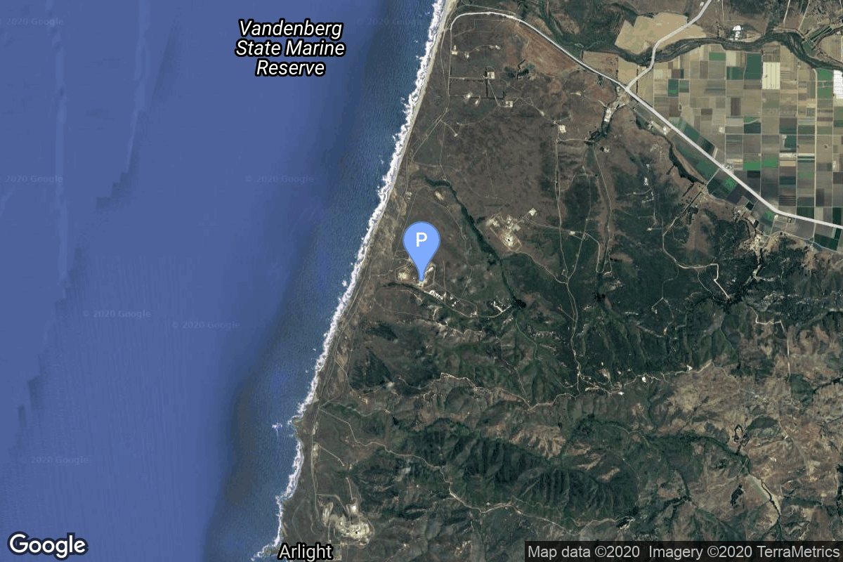
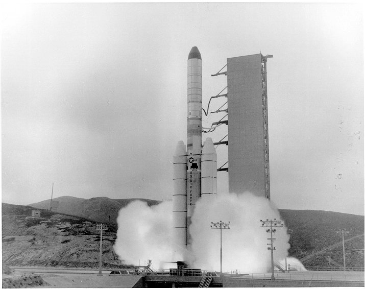
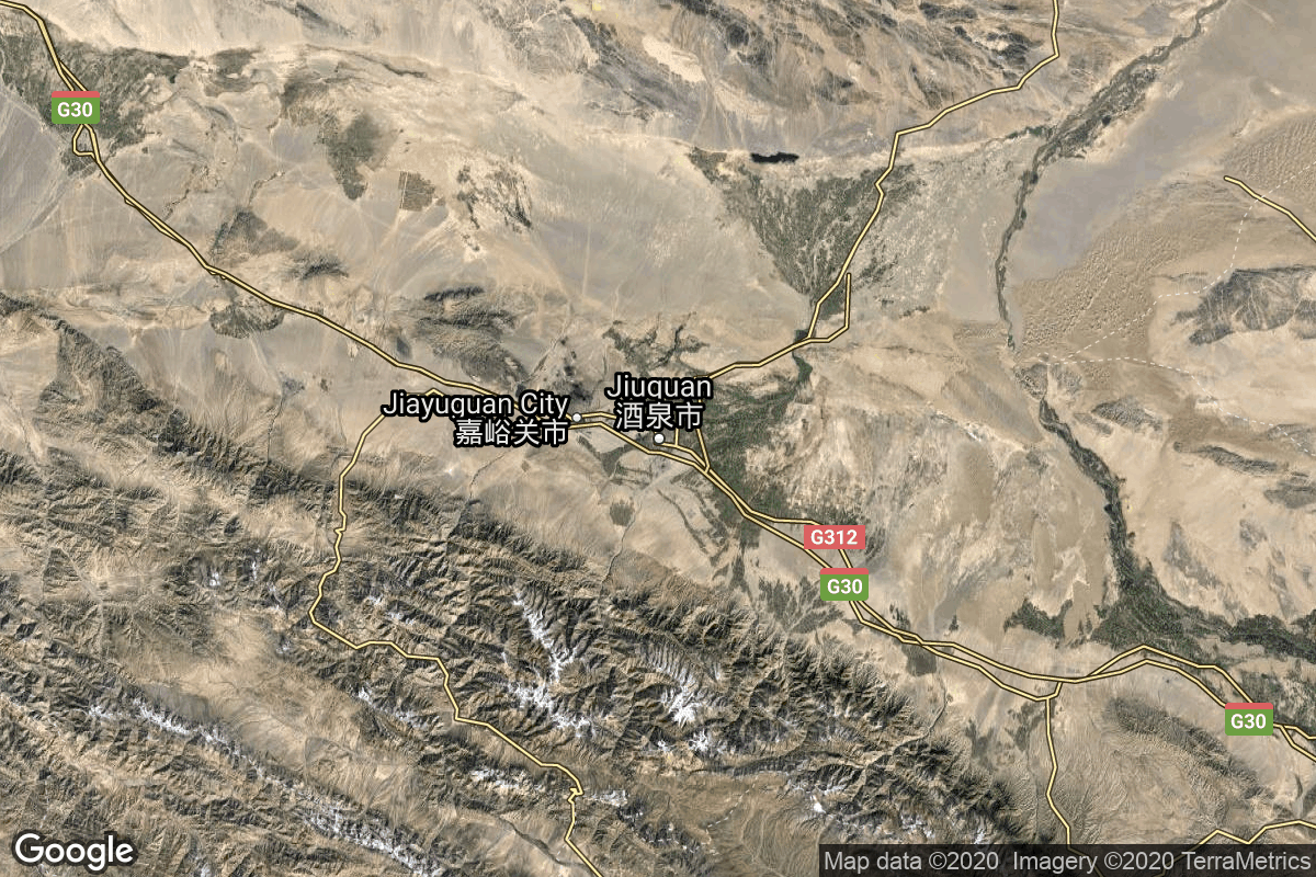
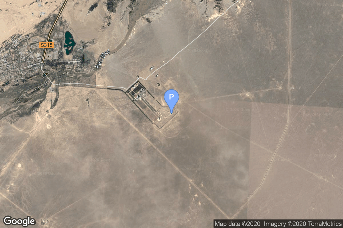
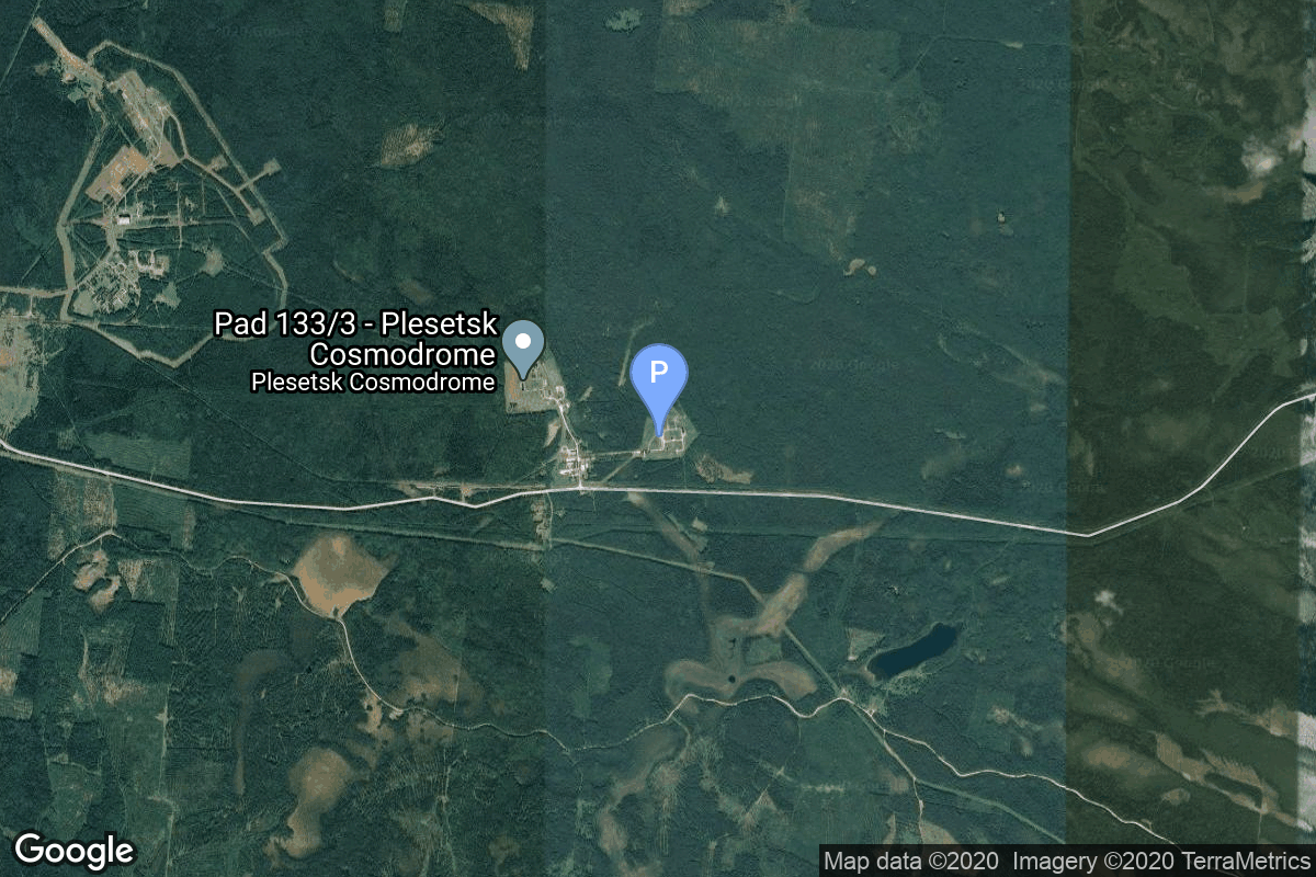
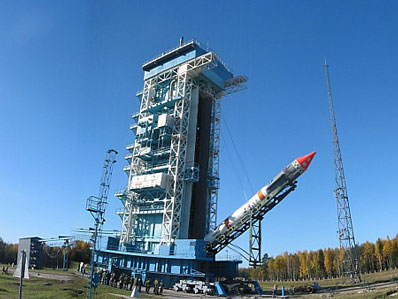
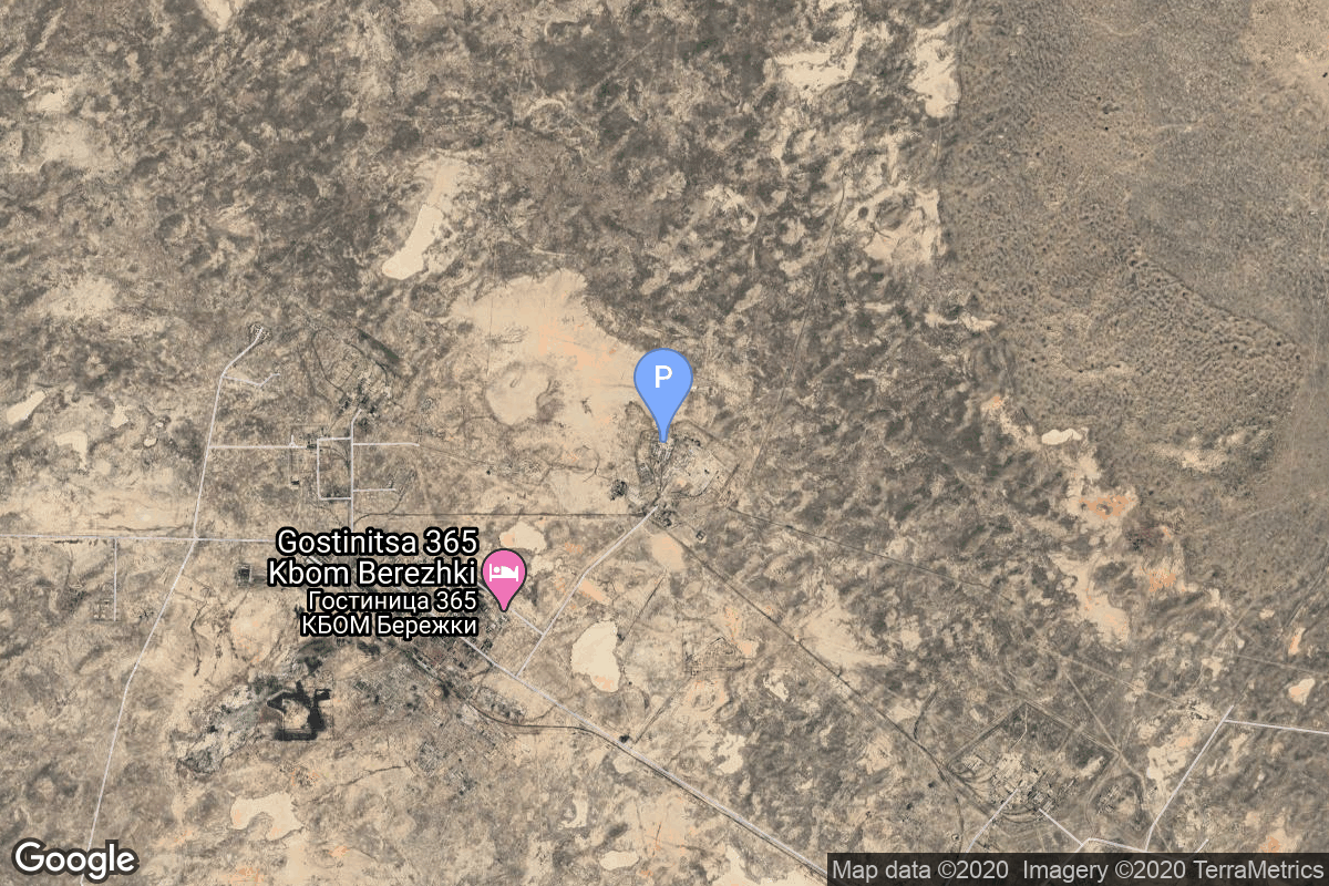
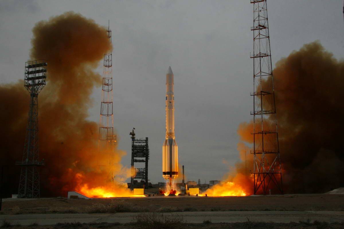
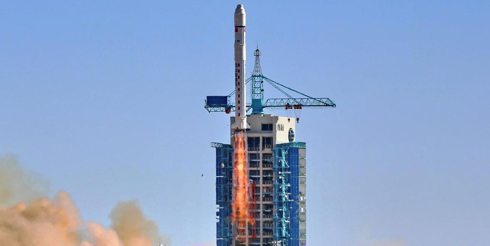
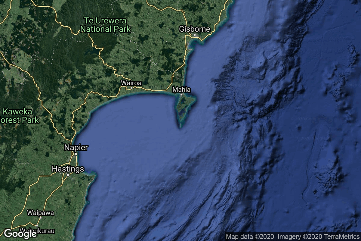
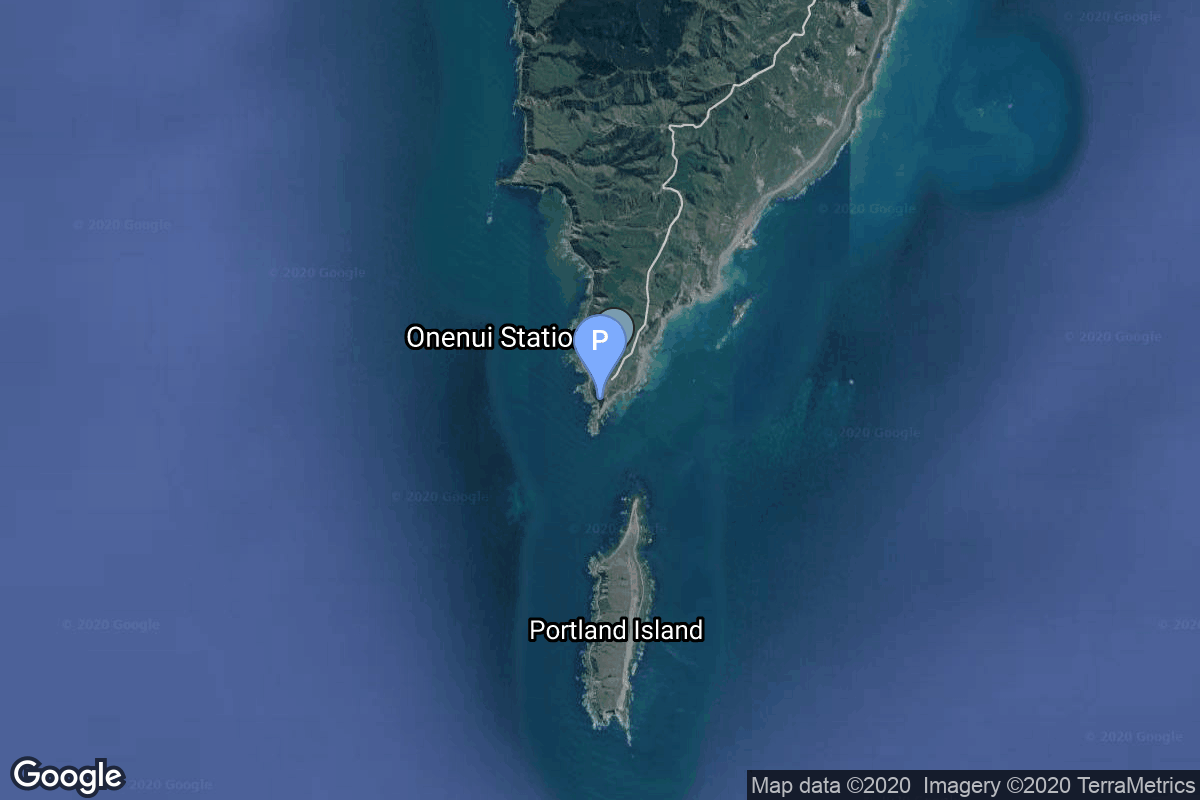
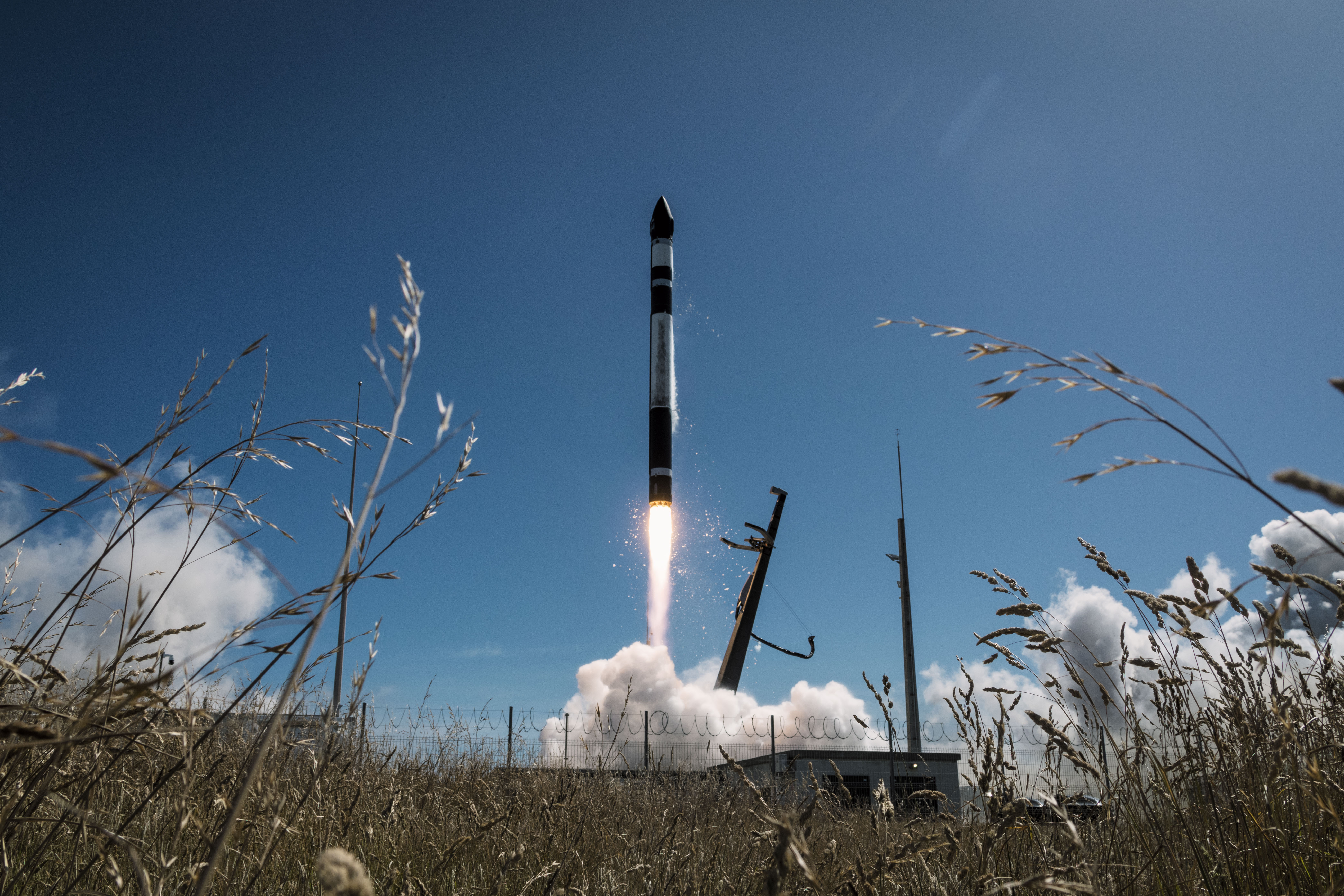
{ "count": 7925, "next": "https://ll.thespacedevs.com/2.0.0/launch/?format=api&limit=10&offset=1000&ordering=-id", "previous": "https://ll.thespacedevs.com/2.0.0/launch/?format=api&limit=10&offset=980&ordering=-id", "results": [ { "id": "decf3c30-a1af-46dd-a016-559af24e259b", "url": "https://ll.thespacedevs.com/2.0.0/launch/decf3c30-a1af-46dd-a016-559af24e259b/?format=api", "launch_library_id": 1254, "slug": "ss-520-4-tricom-1", "name": "SS-520-4 | TRICOM-1", "status": { "id": 4, "name": "Failure" }, "net": "2017-01-14T23:33:00Z", "window_end": "2017-01-14T23:50:00Z", "window_start": "2017-01-14T22:20:00Z", "inhold": false, "tbdtime": false, "tbddate": false, "probability": null, "holdreason": "", "failreason": null, "hashtag": null, "launch_service_provider": { "id": 37, "url": "https://ll.thespacedevs.com/2.0.0/agencies/37/?format=api", "name": "Japan Aerospace Exploration Agency", "type": "Government" }, "rocket": { "id": 1981, "configuration": { "id": 122, "launch_library_id": 154, "url": "https://ll.thespacedevs.com/2.0.0/config/launcher/122/?format=api", "name": "SS-520", "family": "S-Series", "full_name": "SS-520-4", "variant": "4" } }, "mission": { "id": 379, "launch_library_id": 491, "name": "TRICOM-1", "description": "TRICOM-1 is an experimental 3U cubsat build by University of Tokyo. It is equipped with 5 small cameras for Earth imaging purposes, and is also tasked with storing and transmitting data between ground terminals.", "launch_designator": null, "type": "Earth Science", "orbit": { "id": 8, "name": "Low Earth Orbit", "abbrev": "LEO" } }, "pad": { "id": 43, "url": "https://ll.thespacedevs.com/2.0.0/pad/43/?format=api", "agency_id": null, "name": "KS Center", "info_url": null, "wiki_url": "https://en.wikipedia.org/wiki/Uchinoura_Space_Center", "map_url": "https://www.google.com/maps?q=31.2519752,131.0791609", "latitude": "31.2519752", "longitude": "131.0791609", "location": { "id": 24, "url": "https://ll.thespacedevs.com/2.0.0/location/24/?format=api", "name": "Uchinoura Space Center, Japan", "country_code": "JPN", "map_image": "https://thespacedevs-prod.nyc3.digitaloceanspaces.com/media/map_images/location_24_20200803142411.jpg", "total_launch_count": 43, "total_landing_count": 0 }, "map_image": "https://thespacedevs-prod.nyc3.digitaloceanspaces.com/media/map_images/pad_43_20200803143309.jpg", "total_launch_count": 7 }, "webcast_live": false, "image": null, "infographic": null, "program": [] }, { "id": "dec4bfea-4d2a-472e-b6db-9ef204e58a84", "url": "https://ll.thespacedevs.com/2.0.0/launch/dec4bfea-4d2a-472e-b6db-9ef204e58a84/?format=api", "launch_library_id": null, "slug": "delta-4925-8-marcopolo-1", "name": "Delta 4925-8 | Marcopolo 1", "status": { "id": 3, "name": "Success" }, "net": "1989-08-27T22:59:00Z", "window_end": "1989-08-27T22:59:00Z", "window_start": "1989-08-27T22:59:00Z", "inhold": false, "tbdtime": false, "tbddate": false, "probability": null, "holdreason": "", "failreason": null, "hashtag": null, "launch_service_provider": { "id": 161, "url": "https://ll.thespacedevs.com/2.0.0/agencies/161/?format=api", "name": "United States Air Force", "type": "Government" }, "rocket": { "id": 6201, "configuration": { "id": 296, "launch_library_id": null, "url": "https://ll.thespacedevs.com/2.0.0/config/launcher/296/?format=api", "name": "Delta 4925-8", "family": "Delta", "full_name": "Delta 4925-8", "variant": "4925-8" } }, "mission": { "id": 4591, "launch_library_id": null, "name": "Marcopolo 1", "description": "British geostationary communications satellite", "launch_designator": null, "type": "Communications", "orbit": { "id": 1, "name": "Geostationary Orbit", "abbrev": "Direct-GEO" } }, "pad": { "id": 1, "url": "https://ll.thespacedevs.com/2.0.0/pad/1/?format=api", "agency_id": null, "name": "Space Launch Complex 17B", "info_url": null, "wiki_url": "https://en.wikipedia.org/wiki/Cape_Canaveral_Space_Launch_Complex_17", "map_url": "https://www.google.com/maps?q=28.4458,-80.5657", "latitude": "28.4458", "longitude": "-80.5657", "location": { "id": 12, "url": "https://ll.thespacedevs.com/2.0.0/location/12/?format=api", "name": "Cape Canaveral SFS, FL, USA", "country_code": "USA", "map_image": "https://thespacedevs-prod.nyc3.digitaloceanspaces.com/media/map_images/location_12_20200803142519.jpg", "total_launch_count": 1121, "total_landing_count": 75 }, "map_image": "https://thespacedevs-prod.nyc3.digitaloceanspaces.com/media/map_images/pad_1_20200803143208.jpg", "total_launch_count": 132 }, "webcast_live": false, "image": null, "infographic": null, "program": [] }, { "id": "debf6730-f937-4cf5-907a-c263b061061e", "url": "https://ll.thespacedevs.com/2.0.0/launch/debf6730-f937-4cf5-907a-c263b061061e/?format=api", "launch_library_id": null, "slug": "titan-iiid-kh-11-5", "name": "Titan IIID | KH-11 5", "status": { "id": 3, "name": "Success" }, "net": "1982-11-17T21:18:00Z", "window_end": "1982-11-17T21:18:00Z", "window_start": "1982-11-17T21:18:00Z", "inhold": false, "tbdtime": false, "tbddate": false, "probability": null, "holdreason": "", "failreason": null, "hashtag": null, "launch_service_provider": { "id": 161, "url": "https://ll.thespacedevs.com/2.0.0/agencies/161/?format=api", "name": "United States Air Force", "type": "Government" }, "rocket": { "id": 5461, "configuration": { "id": 440, "launch_library_id": null, "url": "https://ll.thespacedevs.com/2.0.0/config/launcher/440/?format=api", "name": "Titan IIID", "family": "Titan", "full_name": "Titan IIID", "variant": "IIID" } }, "mission": { "id": 3866, "launch_library_id": null, "name": "KH-11 5", "description": "KH-11 reconnaissance satellite", "launch_designator": null, "type": "Government/Top Secret", "orbit": { "id": 8, "name": "Low Earth Orbit", "abbrev": "LEO" } }, "pad": { "id": 16, "url": "https://ll.thespacedevs.com/2.0.0/pad/16/?format=api", "agency_id": null, "name": "Space Launch Complex 4E", "info_url": null, "wiki_url": "https://en.wikipedia.org/wiki/Vandenberg_Space_Launch_Complex_4#SLC-4E", "map_url": "https://www.google.com/maps?q=34.632,-120.611", "latitude": "34.632", "longitude": "-120.611", "location": { "id": 11, "url": "https://ll.thespacedevs.com/2.0.0/location/11/?format=api", "name": "Vandenberg SFB, CA, USA", "country_code": "USA", "map_image": "https://thespacedevs-prod.nyc3.digitaloceanspaces.com/media/map_images/location_11_20200803142416.jpg", "total_launch_count": 898, "total_landing_count": 35 }, "map_image": "https://thespacedevs-prod.nyc3.digitaloceanspaces.com/media/map_images/pad_16_20200803143532.jpg", "total_launch_count": 282 }, "webcast_live": false, "image": "https://thespacedevs-prod.nyc3.digitaloceanspaces.com/media/images/titan_iiid_laun_image_20251117073514.jpg", "infographic": null, "program": [] }, { "id": "debcd337-5aec-47dd-b8ea-87e3f871dfb5", "url": "https://ll.thespacedevs.com/2.0.0/launch/debcd337-5aec-47dd-b8ea-87e3f871dfb5/?format=api", "launch_library_id": null, "slug": "long-march-2cyz-1s-rsw-04-06", "name": "Long March 2C/YZ-1S | RSW-04 - 06", "status": { "id": 3, "name": "Success" }, "net": "2022-05-20T10:30:00Z", "window_end": "2022-05-20T10:55:00Z", "window_start": "2022-05-20T10:20:00Z", "inhold": false, "tbdtime": false, "tbddate": false, "probability": null, "holdreason": "", "failreason": "", "hashtag": null, "launch_service_provider": { "id": 88, "url": "https://ll.thespacedevs.com/2.0.0/agencies/88/?format=api", "name": "China Aerospace Science and Technology Corporation", "type": "Government" }, "rocket": { "id": 7486, "configuration": { "id": 156, "launch_library_id": 192, "url": "https://ll.thespacedevs.com/2.0.0/config/launcher/156/?format=api", "name": "Long March 2C/YZ-1S", "family": "Long March", "full_name": "Long March 2C/YZ-1S", "variant": "C/YZ-1S" } }, "mission": { "id": 6020, "launch_library_id": null, "name": "RSW-04 - 06", "description": "\"Ronghe Shiyan Weixing\" (RSW) = \"Integrated Experimental Satellite\" are test satellites that will be used to develop a state-owned Chinese low-earth orbit constellation, Xingwang, consisting of several thousand satellites.", "launch_designator": null, "type": "Communications", "orbit": { "id": 13, "name": "Polar Orbit", "abbrev": "PO" } }, "pad": { "id": 22, "url": "https://ll.thespacedevs.com/2.0.0/pad/22/?format=api", "agency_id": null, "name": "Launch Area 94 (SLS-2 / 603)", "info_url": null, "wiki_url": "https://en.wikipedia.org/wiki/Jiuquan_Launch_Area_4", "map_url": "https://www.google.com/maps?q=40.960482,100.298059", "latitude": "40.960482", "longitude": "100.298059", "location": { "id": 17, "url": "https://ll.thespacedevs.com/2.0.0/location/17/?format=api", "name": "Jiuquan Satellite Launch Center, People's Republic of China", "country_code": "CHN", "map_image": "https://thespacedevs-prod.nyc3.digitaloceanspaces.com/media/map_images/location_17_20200803142429.jpg", "total_launch_count": 291, "total_landing_count": 2 }, "map_image": "https://thespacedevs-prod.nyc3.digitaloceanspaces.com/media/map_images/pad_22_20200803143437.jpg", "total_launch_count": 137 }, "webcast_live": false, "image": "https://thespacedevs-prod.nyc3.digitaloceanspaces.com/media/images/long_march_2c-i_image_20210908194304.jpeg", "infographic": null, "program": [] }, { "id": "deb4ea92-eabf-4c2b-882f-4ae7517f0087", "url": "https://ll.thespacedevs.com/2.0.0/launch/deb4ea92-eabf-4c2b-882f-4ae7517f0087/?format=api", "launch_library_id": null, "slug": "atlas-fsvs-navstar-2", "name": "Atlas F/SVS | Navstar 2", "status": { "id": 3, "name": "Success" }, "net": "1978-05-13T10:34:00Z", "window_end": "1978-05-13T10:34:00Z", "window_start": "1978-05-13T10:34:00Z", "inhold": false, "tbdtime": false, "tbddate": false, "probability": null, "holdreason": "", "failreason": "", "hashtag": null, "launch_service_provider": { "id": 161, "url": "https://ll.thespacedevs.com/2.0.0/agencies/161/?format=api", "name": "United States Air Force", "type": "Government" }, "rocket": { "id": 4959, "configuration": { "id": 249, "launch_library_id": null, "url": "https://ll.thespacedevs.com/2.0.0/config/launcher/249/?format=api", "name": "Atlas F/SVS", "family": "Atlas", "full_name": "Atlas F/SVS", "variant": "F/SVS" } }, "mission": { "id": 3375, "launch_library_id": null, "name": "Navstar 2", "description": "First generation GPS satellite", "launch_designator": null, "type": "Navigation", "orbit": { "id": 12, "name": "Medium Earth Orbit", "abbrev": "MEO" } }, "pad": { "id": 24, "url": "https://ll.thespacedevs.com/2.0.0/pad/24/?format=api", "agency_id": 161, "name": "Space Launch Complex 3E", "info_url": null, "wiki_url": "https://en.wikipedia.org/wiki/Vandenberg_Space_Launch_Complex_3#SLC-3E", "map_url": "https://www.google.com/maps?q=34.64,-120.5895", "latitude": "34.64", "longitude": "-120.5895", "location": { "id": 11, "url": "https://ll.thespacedevs.com/2.0.0/location/11/?format=api", "name": "Vandenberg SFB, CA, USA", "country_code": "USA", "map_image": "https://thespacedevs-prod.nyc3.digitaloceanspaces.com/media/map_images/location_11_20200803142416.jpg", "total_launch_count": 898, "total_landing_count": 35 }, "map_image": "https://thespacedevs-prod.nyc3.digitaloceanspaces.com/media/map_images/pad_24_20200803143552.jpg", "total_launch_count": 48 }, "webcast_live": false, "image": null, "infographic": null, "program": [ { "id": 29, "url": "https://ll.thespacedevs.com/2.0.0/program/29/?format=api", "name": "Global Positioning System", "description": "The Global Positioning System (GPS), originally Navstar GPS, is a satellite-based radio navigation system owned by the United States government and operated by the United States Space Force. It is one of the global navigation satellite systems (GNSS) that provide geolocation and time information to a GPS receiver anywhere on or near the Earth where there is an unobstructed line of sight to four or more GPS satellites.", "agencies": [ { "id": 1041, "url": "https://ll.thespacedevs.com/2.0.0/agencies/1041/?format=api", "name": "United States Space Force", "type": "Government" } ], "image_url": "https://thespacedevs-prod.nyc3.digitaloceanspaces.com/media/images/global2520posi_program_20231229182501.png", "start_date": "1978-02-22T00:00:00Z", "end_date": null, "info_url": "https://www.gps.gov/", "wiki_url": "https://en.wikipedia.org/wiki/Global_Positioning_System" } ] }, { "id": "deb08841-4ead-4581-a08e-08829be35ec4", "url": "https://ll.thespacedevs.com/2.0.0/launch/deb08841-4ead-4581-a08e-08829be35ec4/?format=api", "launch_library_id": null, "slug": "kosmos-3m-parus-31", "name": "Kosmos-3M | Parus 31", "status": { "id": 3, "name": "Success" }, "net": "1982-03-24T19:47:00Z", "window_end": "1982-03-24T19:47:00Z", "window_start": "1982-03-24T19:47:00Z", "inhold": false, "tbdtime": false, "tbddate": false, "probability": null, "holdreason": "", "failreason": null, "hashtag": null, "launch_service_provider": { "id": 66, "url": "https://ll.thespacedevs.com/2.0.0/agencies/66/?format=api", "name": "Soviet Space Program", "type": "Government" }, "rocket": { "id": 5378, "configuration": { "id": 102, "launch_library_id": 122, "url": "https://ll.thespacedevs.com/2.0.0/config/launcher/102/?format=api", "name": "Kosmos-3M", "family": "Kosmos", "full_name": "Kosmos-3M (11K65M)", "variant": "-3M" } }, "mission": { "id": 3785, "launch_library_id": null, "name": "Parus 31", "description": "Navigation satellite providing location information for the Tsiklon-B navigation system", "launch_designator": null, "type": "Navigation", "orbit": { "id": 8, "name": "Low Earth Orbit", "abbrev": "LEO" } }, "pad": { "id": 28, "url": "https://ll.thespacedevs.com/2.0.0/pad/28/?format=api", "agency_id": 163, "name": "132/1 (132L)", "info_url": null, "wiki_url": "", "map_url": "https://www.google.com/maps?q=62.883229,40.868549", "latitude": "62.883229", "longitude": "40.868549", "location": { "id": 6, "url": "https://ll.thespacedevs.com/2.0.0/location/6/?format=api", "name": "Plesetsk Cosmodrome, Russian Federation", "country_code": "RUS", "map_image": "https://thespacedevs-prod.nyc3.digitaloceanspaces.com/media/map_images/location_6_20200803142434.jpg", "total_launch_count": 1685, "total_landing_count": 0 }, "map_image": "https://thespacedevs-prod.nyc3.digitaloceanspaces.com/media/map_images/pad_28_20200803143254.jpg", "total_launch_count": 212 }, "webcast_live": false, "image": "https://thespacedevs-prod.nyc3.digitaloceanspaces.com/media/images/kosmos-3m_durin_image_20251101171325.jpg", "infographic": null, "program": [] }, { "id": "de860daa-1fe7-418f-a517-1000087a43cc", "url": "https://ll.thespacedevs.com/2.0.0/launch/de860daa-1fe7-418f-a517-1000087a43cc/?format=api", "launch_library_id": null, "slug": "proton-us-kmo-3", "name": "Proton | US-KMO 3", "status": { "id": 3, "name": "Success" }, "net": "1994-07-06T23:58:51Z", "window_end": "1994-07-06T23:58:51Z", "window_start": "1994-07-06T23:58:51Z", "inhold": false, "tbdtime": false, "tbddate": false, "probability": null, "holdreason": "", "failreason": null, "hashtag": null, "launch_service_provider": { "id": 96, "url": "https://ll.thespacedevs.com/2.0.0/agencies/96/?format=api", "name": "Khrunichev State Research and Production Space Center", "type": "Government" }, "rocket": { "id": 6595, "configuration": { "id": 80, "launch_library_id": 99, "url": "https://ll.thespacedevs.com/2.0.0/config/launcher/80/?format=api", "name": "Proton", "family": "Proton / UR-500", "full_name": "Proton K/DM-2", "variant": "K/DM-2" } }, "mission": { "id": 4985, "launch_library_id": null, "name": "US-KMO 3", "description": "Second generation early warning satellite", "launch_designator": null, "type": "Government/Top Secret", "orbit": { "id": 1, "name": "Geostationary Orbit", "abbrev": "Direct-GEO" } }, "pad": { "id": 31, "url": "https://ll.thespacedevs.com/2.0.0/pad/31/?format=api", "agency_id": null, "name": "81/23 (81L)", "info_url": null, "wiki_url": "", "map_url": "https://www.google.com/maps?q=46.073997,62.977999", "latitude": "46.073997", "longitude": "62.977999", "location": { "id": 15, "url": "https://ll.thespacedevs.com/2.0.0/location/15/?format=api", "name": "Baikonur Cosmodrome, Republic of Kazakhstan", "country_code": "KAZ", "map_image": "https://thespacedevs-prod.nyc3.digitaloceanspaces.com/media/map_images/location_15_20200803142517.jpg", "total_launch_count": 1564, "total_landing_count": 0 }, "map_image": "https://thespacedevs-prod.nyc3.digitaloceanspaces.com/media/map_images/pad_31_20200803143402.jpg", "total_launch_count": 104 }, "webcast_live": false, "image": "https://thespacedevs-prod.nyc3.digitaloceanspaces.com/media/images/proton_image_20231231095535.jpg", "infographic": null, "program": [] }, { "id": "de6e392c-500f-4eaf-a125-7adc38939321", "url": "https://ll.thespacedevs.com/2.0.0/launch/de6e392c-500f-4eaf-a125-7adc38939321/?format=api", "launch_library_id": 1362, "slug": "long-march-2d-zhangheng-1-cses", "name": "Long March 2D | Zhangheng-1 (CSES)", "status": { "id": 3, "name": "Success" }, "net": "2018-02-02T07:51:04Z", "window_end": "2018-02-02T08:12:00Z", "window_start": "2018-02-02T07:43:00Z", "inhold": false, "tbdtime": false, "tbddate": false, "probability": null, "holdreason": "", "failreason": "", "hashtag": null, "launch_service_provider": { "id": 88, "url": "https://ll.thespacedevs.com/2.0.0/agencies/88/?format=api", "name": "China Aerospace Science and Technology Corporation", "type": "Government" }, "rocket": { "id": 2074, "configuration": { "id": 17, "launch_library_id": 73, "url": "https://ll.thespacedevs.com/2.0.0/config/launcher/17/?format=api", "name": "Long March 2D", "family": "Long March", "full_name": "Long March 2D", "variant": "D" } }, "mission": { "id": 453, "launch_library_id": 603, "name": "Zhangheng-1 (CSES)", "description": "Zhangheng-1, also known as CSES (China Seismo-Electromagnetic Satellite) is a scientific mission dedicated to studying the ionospheric precursors of earthquakes. Data collected by the mission will also allow studying solar-terrestrial interactions and phenomena of solar physics. This mission is a collaboration between China National Space Administration and the Italian Space Agency. CSES satellite weighs about 730 kg and it is to reside in a 98° sun-synchronous circular orbit at an altitude about 500 km, where it is expected to operate for 5 years.", "launch_designator": null, "type": "Planetary Science", "orbit": { "id": 17, "name": "Sun-Synchronous Orbit", "abbrev": "SSO" } }, "pad": { "id": 22, "url": "https://ll.thespacedevs.com/2.0.0/pad/22/?format=api", "agency_id": null, "name": "Launch Area 94 (SLS-2 / 603)", "info_url": null, "wiki_url": "https://en.wikipedia.org/wiki/Jiuquan_Launch_Area_4", "map_url": "https://www.google.com/maps?q=40.960482,100.298059", "latitude": "40.960482", "longitude": "100.298059", "location": { "id": 17, "url": "https://ll.thespacedevs.com/2.0.0/location/17/?format=api", "name": "Jiuquan Satellite Launch Center, People's Republic of China", "country_code": "CHN", "map_image": "https://thespacedevs-prod.nyc3.digitaloceanspaces.com/media/map_images/location_17_20200803142429.jpg", "total_launch_count": 291, "total_landing_count": 2 }, "map_image": "https://thespacedevs-prod.nyc3.digitaloceanspaces.com/media/map_images/pad_22_20200803143437.jpg", "total_launch_count": 137 }, "webcast_live": false, "image": "https://thespacedevs-prod.nyc3.digitaloceanspaces.com/media/images/long2520march25202d_image_20190222031211.jpeg", "infographic": null, "program": [] }, { "id": "de6db617-3d40-414a-86d6-f365b130df30", "url": "https://ll.thespacedevs.com/2.0.0/launch/de6db617-3d40-414a-86d6-f365b130df30/?format=api", "launch_library_id": 1309, "slug": "electron-raise-and-shine-raise-4", "name": "Electron | Raise and Shine (RAISE-4)", "status": { "id": 3, "name": "Success" }, "net": "2025-12-14T03:09:00Z", "window_end": "2025-12-14T03:09:00Z", "window_start": "2025-12-14T03:09:00Z", "inhold": false, "tbdtime": false, "tbddate": false, "probability": 90, "holdreason": "", "failreason": "", "hashtag": null, "launch_service_provider": { "id": 147, "url": "https://ll.thespacedevs.com/2.0.0/agencies/147/?format=api", "name": "Rocket Lab", "type": "Commercial" }, "rocket": { "id": 186, "configuration": { "id": 26, "launch_library_id": 148, "url": "https://ll.thespacedevs.com/2.0.0/config/launcher/26/?format=api", "name": "Electron", "family": "", "full_name": "Electron", "variant": "" } }, "mission": { "id": 6304, "launch_library_id": null, "name": "Raise and Shine (RAISE-4)", "description": "RAISE-4 (RApid Innovative payload demonstration Satellite-4) is a Japan Aerospace Exploration Agency (JAXA) satellite for on-orbit demonstrations of 15 demonstration components and equipment selected by public solicitation. The satellite will be operated in response to requests from the demonstration theme proposers, and will provide experimental data of the demonstration devices and environmental data during the experiments.\r\n\r\n6 of the demonstration payload, as well as as well as 4 cubesats originally planned to ride on the same launch vehicle, are re-flight of those planned for RAISE-3, which failed to reach orbit in October 2022.\r\n\r\nThe launch vehicle was switched from Epsilon-S to Rocket Lab's Electron due to continuous testing problems with the Epsilon-S' 2nd stage motor. The original 8 hitch-hiking cubesats will be launched on another Electron rocket later.", "launch_designator": null, "type": "Technology", "orbit": { "id": 17, "name": "Sun-Synchronous Orbit", "abbrev": "SSO" } }, "pad": { "id": 185, "url": "https://ll.thespacedevs.com/2.0.0/pad/185/?format=api", "agency_id": 147, "name": "Rocket Lab Launch Complex 1B", "info_url": null, "wiki_url": "https://en.wikipedia.org/wiki/Rocket_Lab_Launch_Complex_1", "map_url": "https://www.google.com/maps?q=-39.262833,177.864469", "latitude": "-39.262833", "longitude": "177.864469", "location": { "id": 10, "url": "https://ll.thespacedevs.com/2.0.0/location/10/?format=api", "name": "Rocket Lab Launch Complex 1, Mahia Peninsula, New Zealand", "country_code": "NZL", "map_image": "https://thespacedevs-prod.nyc3.digitaloceanspaces.com/media/map_images/location_10_20200803142509.jpg", "total_launch_count": 78, "total_landing_count": 17 }, "map_image": "https://thespacedevs-prod.nyc3.digitaloceanspaces.com/media/map_images/pad_185_20200803143540.jpg", "total_launch_count": 37 }, "webcast_live": false, "image": "https://thespacedevs-prod.nyc3.digitaloceanspaces.com/media/images/electron_on_the_image_20251215194048.jpg", "infographic": null, "program": [] }, { "id": "de6ab962-db15-4660-afe3-e74137305e70", "url": "https://ll.thespacedevs.com/2.0.0/launch/de6ab962-db15-4660-afe3-e74137305e70/?format=api", "launch_library_id": 1607, "slug": "pslv-ca-hysis", "name": "PSLV-CA | HysIS", "status": { "id": 3, "name": "Success" }, "net": "2018-11-29T04:27:30Z", "window_end": "2018-11-29T08:00:00Z", "window_start": "2018-11-29T04:00:00Z", "inhold": false, "tbdtime": false, "tbddate": false, "probability": null, "holdreason": "", "failreason": null, "hashtag": "#HysIS", "launch_service_provider": { "id": 31, "url": "https://ll.thespacedevs.com/2.0.0/agencies/31/?format=api", "name": "Indian Space Research Organization", "type": "Government" }, "rocket": { "id": 2156, "configuration": { "id": 43, "launch_library_id": 68, "url": "https://ll.thespacedevs.com/2.0.0/config/launcher/43/?format=api", "name": "PSLV", "family": "PSLV", "full_name": "PSLV-CA", "variant": "CA" } }, "mission": { "id": 716, "launch_library_id": 854, "name": "HysIS", "description": "HysIS (Hyperspectral Imaging Spectrometer) is a small Indian earth observation satellite developed by ISRO. The primary goal of HysIS is to study the earth’s surface in visible, near infrared and shortwave infrared regions of the electromagnetic spectrum. It is launched along with 30 small satellites and cubesats for international companies.", "launch_designator": null, "type": "Earth Science", "orbit": { "id": 17, "name": "Sun-Synchronous Orbit", "abbrev": "SSO" } }, "pad": { "id": 50, "url": "https://ll.thespacedevs.com/2.0.0/pad/50/?format=api", "agency_id": 31, "name": "Satish Dhawan Space Centre First Launch Pad", "info_url": null, "wiki_url": "https://en.wikipedia.org/wiki/Satish_Dhawan_Space_Centre_First_Launch_Pad", "map_url": "https://www.google.com/maps?q=13.733,80.235", "latitude": "13.733", "longitude": "80.235", "location": { "id": 14, "url": "https://ll.thespacedevs.com/2.0.0/location/14/?format=api", "name": "Satish Dhawan Space Centre, India", "country_code": "IND", "map_image": "https://thespacedevs-prod.nyc3.digitaloceanspaces.com/media/map_images/location_14_20200803142403.jpg", "total_launch_count": 103, "total_landing_count": 0 }, "map_image": "https://thespacedevs-prod.nyc3.digitaloceanspaces.com/media/map_images/pad_50_20200803143457.jpg", "total_launch_count": 63 }, "webcast_live": false, "image": "https://thespacedevs-prod.nyc3.digitaloceanspaces.com/media/images/pslv_image_20230730102956.jpeg", "infographic": null, "program": [] } ] }