Launch List
API endpoint that returns all Launch objects or a single launch.
EXAMPLE - /launch/
GET: Return a list of all Launch objects.
FILTERS: Fields - 'name', 'id(s)', 'lsp_id', 'lsp_name', 'serial_number', 'launcher_config__id', 'rocket__spacecraftflight__spacecraft__name'
MODE: 'normal', 'list', 'detailed' EXAMPLE: ?mode=list
SEARCH: Searches through the launch name, rocket name, launch agency, mission name & spacecraft name. EXAMPLE - ?search=SpaceX
GET /2.0.0/launch/?format=api&offset=870&ordering=net
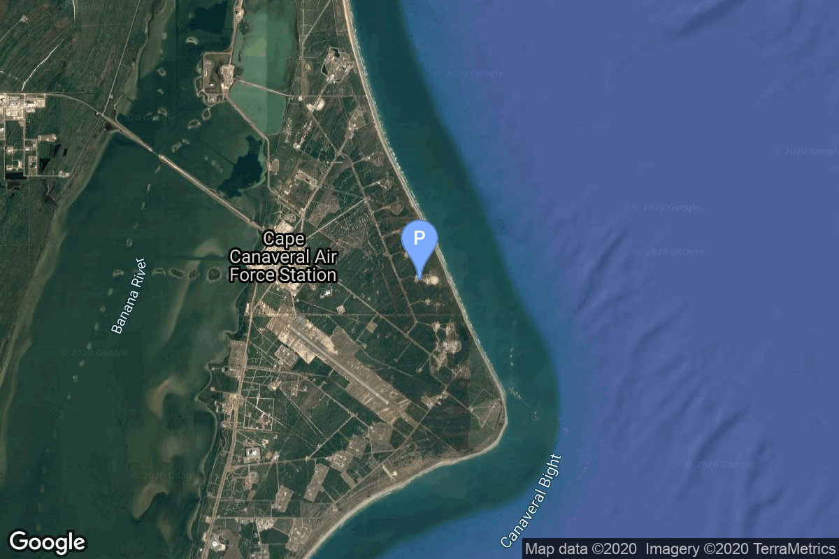
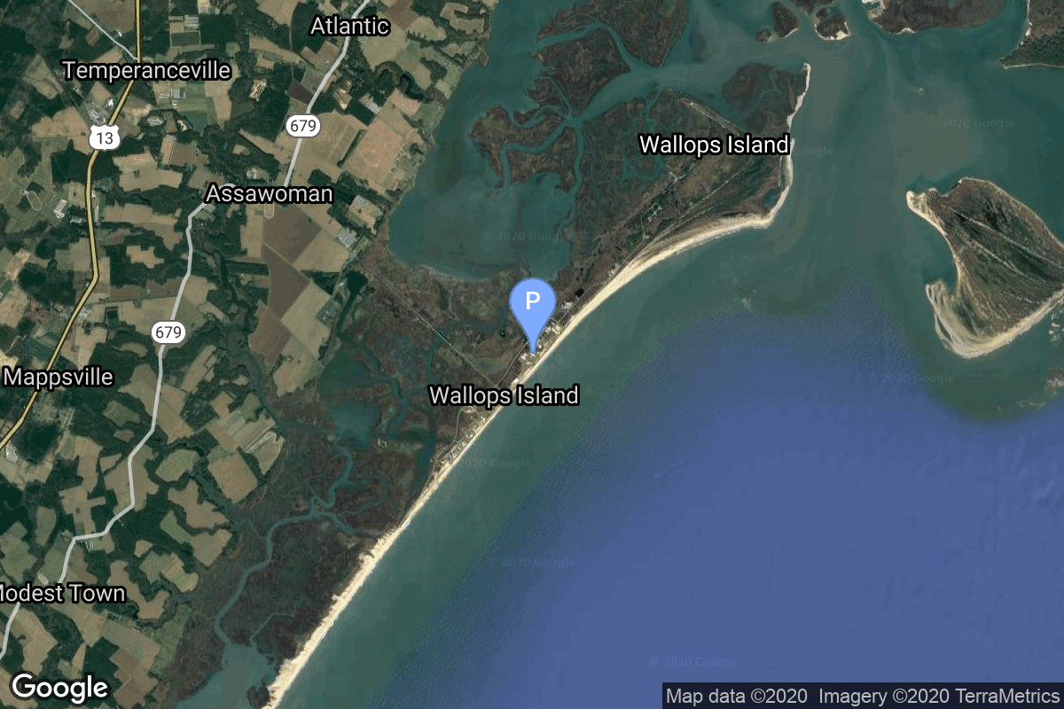
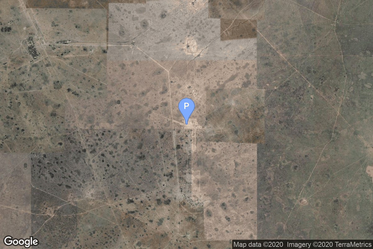
{ "count": 7505, "next": "https://ll.thespacedevs.com/2.0.0/launch/?format=api&limit=10&offset=880&ordering=net", "previous": "https://ll.thespacedevs.com/2.0.0/launch/?format=api&limit=10&offset=860&ordering=net", "results": [ { "id": "3ba1f6f9-5983-475e-afdf-4ac50be2430c", "url": "https://ll.thespacedevs.com/2.0.0/launch/3ba1f6f9-5983-475e-afdf-4ac50be2430c/?format=api", "launch_library_id": null, "slug": "kosmos-3m-sfera-1", "name": "Kosmos-3M | Sfera 1", "status": { "id": 3, "name": "Success" }, "net": "1968-02-20T16:00:00Z", "window_end": "1968-02-20T16:00:00Z", "window_start": "1968-02-20T16:00:00Z", "inhold": false, "tbdtime": false, "tbddate": false, "probability": null, "holdreason": "", "failreason": null, "hashtag": null, "launch_service_provider": { "id": 66, "url": "https://ll.thespacedevs.com/2.0.0/agencies/66/?format=api", "name": "Soviet Space Program", "type": "Government" }, "rocket": { "id": 3753, "configuration": { "id": 102, "launch_library_id": 122, "url": "https://ll.thespacedevs.com/2.0.0/config/launcher/102/?format=api", "name": "Kosmos-3M", "family": "Kosmos", "full_name": "Kosmos-3M (11K65M)", "variant": "-3M" } }, "mission": { "id": 2171, "launch_library_id": null, "name": "Sfera 1", "description": "The Sfera or Geoid series were the first soviet geodetic satellites to improve the accuracy of maps. The development of the satellites started in 1965 at NPO-PM.", "launch_designator": null, "type": "Earth Science", "orbit": { "id": 8, "name": "Low Earth Orbit", "abbrev": "LEO" } }, "pad": { "id": 167, "url": "https://ll.thespacedevs.com/2.0.0/pad/167/?format=api", "agency_id": null, "name": "132/2", "info_url": null, "wiki_url": "https://en.wikipedia.org/wiki/Plesetsk_Cosmodrome", "map_url": "https://www.google.com/maps?q=62.883,40.869806", "latitude": "62.883", "longitude": "40.869806", "location": { "id": 6, "url": "https://ll.thespacedevs.com/2.0.0/location/6/?format=api", "name": "Plesetsk Cosmodrome, Russian Federation", "country_code": "RUS", "map_image": "https://thespacedevs-prod.nyc3.digitaloceanspaces.com/media/map_images/location_6_20200803142434.jpg", "total_launch_count": 1674, "total_landing_count": 0 }, "map_image": "https://thespacedevs-prod.nyc3.digitaloceanspaces.com/media/map_images/pad_167_20200803143417.jpg", "total_launch_count": 172 }, "webcast_live": false, "image": null, "infographic": null, "program": [] }, { "id": "5e206e0a-744d-4577-8e44-852a92b5073c", "url": "https://ll.thespacedevs.com/2.0.0/launch/5e206e0a-744d-4577-8e44-852a92b5073c/?format=api", "launch_library_id": null, "slug": "scout-a-transit-o-18", "name": "Scout A | Transit-O 18", "status": { "id": 3, "name": "Success" }, "net": "1968-03-02T03:55:01Z", "window_end": "1968-03-02T03:55:01Z", "window_start": "1968-03-02T03:55:01Z", "inhold": false, "tbdtime": false, "tbddate": false, "probability": null, "holdreason": "", "failreason": null, "hashtag": null, "launch_service_provider": { "id": 161, "url": "https://ll.thespacedevs.com/2.0.0/agencies/161/?format=api", "name": "United States Air Force", "type": "Government" }, "rocket": { "id": 3754, "configuration": { "id": 356, "launch_library_id": null, "url": "https://ll.thespacedevs.com/2.0.0/config/launcher/356/?format=api", "name": "Scout A", "family": "Scout", "full_name": "Scout A", "variant": "A" } }, "mission": { "id": 2172, "launch_library_id": null, "name": "Transit-O 18", "description": "The Transit-O series of satellites that closely followed the design of Transit 5C-1 were also called “Oscars” (Oscar is the phonetic alphabet for “O”, i. e., operational). They were also called NNS (Navy Navigation Satellite) or shortened NavSat.", "launch_designator": null, "type": "Navigation", "orbit": { "id": 13, "name": "Polar Orbit", "abbrev": "PO" } }, "pad": { "id": 154, "url": "https://ll.thespacedevs.com/2.0.0/pad/154/?format=api", "agency_id": null, "name": "Space Launch Complex 5", "info_url": "http://www.astronautix.com/v/vandenbergslc5.html", "wiki_url": "https://en.wikipedia.org/wiki/Vandenberg_Air_Force_Base_Space_Launch_Complex_5", "map_url": "https://www.google.com/maps?q=34.6080,-120.6247", "latitude": "34.608", "longitude": "-120.6247", "location": { "id": 11, "url": "https://ll.thespacedevs.com/2.0.0/location/11/?format=api", "name": "Vandenberg SFB, CA, USA", "country_code": "USA", "map_image": "https://thespacedevs-prod.nyc3.digitaloceanspaces.com/media/map_images/location_11_20200803142416.jpg", "total_launch_count": 807, "total_landing_count": 26 }, "map_image": "https://thespacedevs-prod.nyc3.digitaloceanspaces.com/media/map_images/pad_154_20200803143408.jpg", "total_launch_count": 69 }, "webcast_live": false, "image": null, "infographic": null, "program": [] }, { "id": "44aa7a64-bbb4-4dc6-b396-a23ccff16666", "url": "https://ll.thespacedevs.com/2.0.0/launch/44aa7a64-bbb4-4dc6-b396-a23ccff16666/?format=api", "launch_library_id": 1896, "slug": "proton-ur-500-kd-zond-4", "name": "Proton / UR-500 K/D | Zond 4", "status": { "id": 3, "name": "Success" }, "net": "1968-03-02T18:29:23Z", "window_end": "1968-03-02T18:29:23Z", "window_start": "1968-03-02T18:29:23Z", "inhold": false, "tbdtime": false, "tbddate": false, "probability": 0, "holdreason": "", "failreason": "", "hashtag": "", "launch_service_provider": { "id": 66, "url": "https://ll.thespacedevs.com/2.0.0/agencies/66/?format=api", "name": "Soviet Space Program", "type": "Government" }, "rocket": { "id": 2433, "configuration": { "id": 191, "launch_library_id": 220, "url": "https://ll.thespacedevs.com/2.0.0/config/launcher/191/?format=api", "name": "Proton", "family": "Proton / UR-500", "full_name": "Proton / UR-500 K/D", "variant": "K/D" } }, "mission": null, "pad": { "id": 31, "url": "https://ll.thespacedevs.com/2.0.0/pad/31/?format=api", "agency_id": null, "name": "81/23 (81L)", "info_url": null, "wiki_url": "", "map_url": "https://www.google.com/maps?q=46.073997,62.977999", "latitude": "46.073997", "longitude": "62.977999", "location": { "id": 15, "url": "https://ll.thespacedevs.com/2.0.0/location/15/?format=api", "name": "Baikonur Cosmodrome, Republic of Kazakhstan", "country_code": "KAZ", "map_image": "https://thespacedevs-prod.nyc3.digitaloceanspaces.com/media/map_images/location_15_20200803142517.jpg", "total_launch_count": 1555, "total_landing_count": 0 }, "map_image": "https://thespacedevs-prod.nyc3.digitaloceanspaces.com/media/map_images/pad_31_20200803143402.jpg", "total_launch_count": 104 }, "webcast_live": false, "image": "https://thespacedevs-prod.nyc3.digitaloceanspaces.com/media/images/proton_image_20231231095535.jpg", "infographic": null, "program": [ { "id": 8, "url": "https://ll.thespacedevs.com/2.0.0/program/8/?format=api", "name": "Soyuz", "description": "The Soyuz programme is a human spaceflight programme initiated by the Soviet Union in the early 1960s. The Soyuz spacecraft was originally part of a Moon landing project intended to put a Soviet cosmonaut on the Moon. It was the third Soviet human spaceflight programme after the Vostok and Voskhod programmes.", "agencies": [ { "id": 63, "url": "https://ll.thespacedevs.com/2.0.0/agencies/63/?format=api", "name": "Russian Federal Space Agency (ROSCOSMOS)", "type": "Government" }, { "id": 66, "url": "https://ll.thespacedevs.com/2.0.0/agencies/66/?format=api", "name": "Soviet Space Program", "type": "Government" } ], "image_url": "https://thespacedevs-prod.nyc3.digitaloceanspaces.com/media/images/soyuz_program_20201129185543.png", "start_date": "1966-11-28T11:02:00Z", "end_date": null, "info_url": null, "wiki_url": "https://en.wikipedia.org/wiki/Soyuz_programme" } ] }, { "id": "86afc689-3a53-458c-ace7-0967bf4c7bfd", "url": "https://ll.thespacedevs.com/2.0.0/launch/86afc689-3a53-458c-ace7-0967bf4c7bfd/?format=api", "launch_library_id": null, "slug": "atlas-slv-3a-agena-d-ogo-5", "name": "Atlas SLV-3A Agena D | OGO 5", "status": { "id": 3, "name": "Success" }, "net": "1968-03-04T13:06:01Z", "window_end": "1968-03-04T13:06:01Z", "window_start": "1968-03-04T13:06:01Z", "inhold": false, "tbdtime": false, "tbddate": false, "probability": null, "holdreason": "", "failreason": null, "hashtag": null, "launch_service_provider": { "id": 161, "url": "https://ll.thespacedevs.com/2.0.0/agencies/161/?format=api", "name": "United States Air Force", "type": "Government" }, "rocket": { "id": 3755, "configuration": { "id": 259, "launch_library_id": null, "url": "https://ll.thespacedevs.com/2.0.0/config/launcher/259/?format=api", "name": "Atlas SLV-3A Agena D", "family": "Atlas", "full_name": "Atlas SLV-3A Agena D", "variant": "SLV-3A Agena D" } }, "mission": { "id": 2173, "launch_library_id": null, "name": "OGO 5", "description": "The OGO (Orbiting Geophysical Observatory) series was a series of large, complex research satellites.", "launch_designator": null, "type": "Earth Science", "orbit": { "id": 0, "name": "Elliptical Orbit", "abbrev": "Elliptical" } }, "pad": { "id": 117, "url": "https://ll.thespacedevs.com/2.0.0/pad/117/?format=api", "agency_id": 161, "name": "Space Launch Complex 13", "info_url": null, "wiki_url": "https://en.wikipedia.org/wiki/Cape_Canaveral_Launch_Complex_13", "map_url": "https://www.google.com/maps?q=28.4859,-80.546594", "latitude": "28.4859", "longitude": "-80.546594", "location": { "id": 12, "url": "https://ll.thespacedevs.com/2.0.0/location/12/?format=api", "name": "Cape Canaveral SFS, FL, USA", "country_code": "USA", "map_image": "https://thespacedevs-prod.nyc3.digitaloceanspaces.com/media/map_images/location_12_20200803142519.jpg", "total_launch_count": 1024, "total_landing_count": 64 }, "map_image": "https://thespacedevs-prod.nyc3.digitaloceanspaces.com/media/map_images/pad_117_20200803143223.jpg", "total_launch_count": 21 }, "webcast_live": false, "image": null, "infographic": null, "program": [] }, { "id": "fadba4b0-c7fe-4aa0-bb2d-e8b24bb8cc19", "url": "https://ll.thespacedevs.com/2.0.0/launch/fadba4b0-c7fe-4aa0-bb2d-e8b24bb8cc19/?format=api", "launch_library_id": null, "slug": "kosmos-11k63-ds-p1-i-3", "name": "Kosmos 11K63 | DS-P1-I 3", "status": { "id": 3, "name": "Success" }, "net": "1968-03-05T11:20:00Z", "window_end": "1968-03-05T11:20:00Z", "window_start": "1968-03-05T11:20:00Z", "inhold": false, "tbdtime": false, "tbddate": false, "probability": null, "holdreason": "", "failreason": null, "hashtag": null, "launch_service_provider": { "id": 66, "url": "https://ll.thespacedevs.com/2.0.0/agencies/66/?format=api", "name": "Soviet Space Program", "type": "Government" }, "rocket": { "id": 3756, "configuration": { "id": 327, "launch_library_id": null, "url": "https://ll.thespacedevs.com/2.0.0/config/launcher/327/?format=api", "name": "Kosmos 11K63", "family": "Kosmos", "full_name": "Kosmos 11K63", "variant": "11K63" } }, "mission": { "id": 2174, "launch_library_id": null, "name": "DS-P1-I 3", "description": "The DS-P1-I series of satellites was used to calibrate space surveillance and early warning radars.", "launch_designator": null, "type": "Test Target", "orbit": { "id": 8, "name": "Low Earth Orbit", "abbrev": "LEO" } }, "pad": { "id": 3, "url": "https://ll.thespacedevs.com/2.0.0/pad/3/?format=api", "agency_id": 163, "name": "133/3 (133L)", "info_url": null, "wiki_url": "", "map_url": "https://www.google.com/maps?q=62.886999,40.846984", "latitude": "62.886999", "longitude": "40.846984", "location": { "id": 6, "url": "https://ll.thespacedevs.com/2.0.0/location/6/?format=api", "name": "Plesetsk Cosmodrome, Russian Federation", "country_code": "RUS", "map_image": "https://thespacedevs-prod.nyc3.digitaloceanspaces.com/media/map_images/location_6_20200803142434.jpg", "total_launch_count": 1674, "total_landing_count": 0 }, "map_image": "https://thespacedevs-prod.nyc3.digitaloceanspaces.com/media/map_images/pad_3_20200803143438.jpg", "total_launch_count": 159 }, "webcast_live": false, "image": null, "infographic": null, "program": [] }, { "id": "5b8d1320-915d-498a-859c-2840f215e0ba", "url": "https://ll.thespacedevs.com/2.0.0/launch/5b8d1320-915d-498a-859c-2840f215e0ba/?format=api", "launch_library_id": null, "slug": "voskhod-zenit-2-59", "name": "Voskhod | Zenit-2 59", "status": { "id": 3, "name": "Success" }, "net": "1968-03-05T12:30:01Z", "window_end": "1968-03-05T12:30:01Z", "window_start": "1968-03-05T12:30:01Z", "inhold": false, "tbdtime": false, "tbddate": false, "probability": null, "holdreason": "", "failreason": null, "hashtag": null, "launch_service_provider": { "id": 66, "url": "https://ll.thespacedevs.com/2.0.0/agencies/66/?format=api", "name": "Soviet Space Program", "type": "Government" }, "rocket": { "id": 3757, "configuration": { "id": 104, "launch_library_id": 138, "url": "https://ll.thespacedevs.com/2.0.0/config/launcher/104/?format=api", "name": "Voskhod", "family": "R-7", "full_name": "Voskhod", "variant": "Voskhod" } }, "mission": { "id": 2175, "launch_library_id": null, "name": "Zenit-2 59", "description": "Zenit-2 film-return and ELINT reconnaissance satellite.", "launch_designator": null, "type": "Government/Top Secret", "orbit": { "id": 8, "name": "Low Earth Orbit", "abbrev": "LEO" } }, "pad": { "id": 168, "url": "https://ll.thespacedevs.com/2.0.0/pad/168/?format=api", "agency_id": null, "name": "41/1", "info_url": null, "wiki_url": "https://en.wikipedia.org/wiki/Plesetsk_Cosmodrome", "map_url": "https://www.google.com/maps?q=62.941,40.526806", "latitude": "62.941", "longitude": "40.526806", "location": { "id": 6, "url": "https://ll.thespacedevs.com/2.0.0/location/6/?format=api", "name": "Plesetsk Cosmodrome, Russian Federation", "country_code": "RUS", "map_image": "https://thespacedevs-prod.nyc3.digitaloceanspaces.com/media/map_images/location_6_20200803142434.jpg", "total_launch_count": 1674, "total_landing_count": 0 }, "map_image": "https://thespacedevs-prod.nyc3.digitaloceanspaces.com/media/map_images/pad_168_20200803143446.jpg", "total_launch_count": 310 }, "webcast_live": false, "image": null, "infographic": null, "program": [] }, { "id": "bccb0e4e-6b67-45c6-9af5-4c3007a99981", "url": "https://ll.thespacedevs.com/2.0.0/launch/bccb0e4e-6b67-45c6-9af5-4c3007a99981/?format=api", "launch_library_id": null, "slug": "scout-b-explorer-37", "name": "Scout B | Explorer 37", "status": { "id": 3, "name": "Success" }, "net": "1968-03-05T18:28:00Z", "window_end": "1968-03-05T18:28:00Z", "window_start": "1968-03-05T18:28:00Z", "inhold": false, "tbdtime": false, "tbddate": false, "probability": null, "holdreason": "", "failreason": null, "hashtag": null, "launch_service_provider": { "id": 44, "url": "https://ll.thespacedevs.com/2.0.0/agencies/44/?format=api", "name": "National Aeronautics and Space Administration", "type": "Government" }, "rocket": { "id": 3758, "configuration": { "id": 358, "launch_library_id": null, "url": "https://ll.thespacedevs.com/2.0.0/config/launcher/358/?format=api", "name": "Scout B", "family": "Scout", "full_name": "Scout B", "variant": "B" } }, "mission": { "id": 2176, "launch_library_id": null, "name": "Explorer 37", "description": "Solar science satellite inserted into an off-nominal orbit.", "launch_designator": null, "type": "Astrophysics", "orbit": { "id": 8, "name": "Low Earth Orbit", "abbrev": "LEO" } }, "pad": { "id": 178, "url": "https://ll.thespacedevs.com/2.0.0/pad/178/?format=api", "agency_id": null, "name": "Launch Area 3A", "info_url": null, "wiki_url": null, "map_url": "https://www.google.com/maps?q=37.8495,-75.4725", "latitude": "37.8495", "longitude": "-75.4725", "location": { "id": 21, "url": "https://ll.thespacedevs.com/2.0.0/location/21/?format=api", "name": "Wallops Flight Facility, Virginia, USA", "country_code": "USA", "map_image": "https://thespacedevs-prod.nyc3.digitaloceanspaces.com/media/map_images/location_21_20200803142423.jpg", "total_launch_count": 80, "total_landing_count": 0 }, "map_image": "https://thespacedevs-prod.nyc3.digitaloceanspaces.com/media/map_images/pad_178_20200803143407.jpg", "total_launch_count": 18 }, "webcast_live": false, "image": null, "infographic": null, "program": [] }, { "id": "46d1f7f9-635d-4957-b6cd-f9f658d6a442", "url": "https://ll.thespacedevs.com/2.0.0/launch/46d1f7f9-635d-4957-b6cd-f9f658d6a442/?format=api", "launch_library_id": null, "slug": "kosmos-11k63-ds-u1-ya-1", "name": "Kosmos 11K63 | DS-U1-Ya 1", "status": { "id": 4, "name": "Failure" }, "net": "1968-03-06T11:02:57Z", "window_end": "1968-03-06T11:02:57Z", "window_start": "1968-03-06T11:02:57Z", "inhold": false, "tbdtime": false, "tbddate": false, "probability": null, "holdreason": "", "failreason": null, "hashtag": null, "launch_service_provider": { "id": 66, "url": "https://ll.thespacedevs.com/2.0.0/agencies/66/?format=api", "name": "Soviet Space Program", "type": "Government" }, "rocket": { "id": 3759, "configuration": { "id": 327, "launch_library_id": null, "url": "https://ll.thespacedevs.com/2.0.0/config/launcher/327/?format=api", "name": "Kosmos 11K63", "family": "Kosmos", "full_name": "Kosmos 11K63", "variant": "11K63" } }, "mission": { "id": 2177, "launch_library_id": null, "name": "DS-U1-Ya 1", "description": "Satellite designed to investigate cosmic rays and flows of charged particles in the Earth's magnetosphere.", "launch_designator": null, "type": "Earth Science", "orbit": { "id": 8, "name": "Low Earth Orbit", "abbrev": "LEO" } }, "pad": { "id": 140, "url": "https://ll.thespacedevs.com/2.0.0/pad/140/?format=api", "agency_id": null, "name": "86/4", "info_url": null, "wiki_url": "https://en.wikipedia.org/wiki/Kapustin_Yar", "map_url": "https://www.google.com/maps?q=48.56935,46.293219", "latitude": "48.56935", "longitude": "46.293219", "location": { "id": 30, "url": "https://ll.thespacedevs.com/2.0.0/location/30/?format=api", "name": "Kapustin Yar, Russian Federation", "country_code": "RUS", "map_image": "https://thespacedevs-prod.nyc3.digitaloceanspaces.com/media/map_images/location_30_20200803142515.jpg", "total_launch_count": 101, "total_landing_count": 0 }, "map_image": "https://thespacedevs-prod.nyc3.digitaloceanspaces.com/media/map_images/pad_140_20200803143350.jpg", "total_launch_count": 24 }, "webcast_live": false, "image": null, "infographic": null, "program": [] }, { "id": "886be0c8-ed57-4522-a7d5-7d9ae7d71ec0", "url": "https://ll.thespacedevs.com/2.0.0/launch/886be0c8-ed57-4522-a7d5-7d9ae7d71ec0/?format=api", "launch_library_id": null, "slug": "titan-iiib-kh-8-12", "name": "Titan IIIB | KH-8 12", "status": { "id": 3, "name": "Success" }, "net": "1968-03-13T19:51:00Z", "window_end": "1968-03-13T19:51:00Z", "window_start": "1968-03-13T19:51:00Z", "inhold": false, "tbdtime": false, "tbddate": false, "probability": null, "holdreason": "", "failreason": null, "hashtag": null, "launch_service_provider": { "id": 161, "url": "https://ll.thespacedevs.com/2.0.0/agencies/161/?format=api", "name": "United States Air Force", "type": "Government" }, "rocket": { "id": 3760, "configuration": { "id": 438, "launch_library_id": null, "url": "https://ll.thespacedevs.com/2.0.0/config/launcher/438/?format=api", "name": "Titan IIIB", "family": "Titan", "full_name": "Titan IIIB", "variant": "IIIB" } }, "mission": { "id": 2178, "launch_library_id": null, "name": "KH-8 12", "description": "KH-8 or Gambit-3 was the second generation of Gambit high resolution reconnaissance satellites.", "launch_designator": null, "type": "Government/Top Secret", "orbit": { "id": 8, "name": "Low Earth Orbit", "abbrev": "LEO" } }, "pad": { "id": 156, "url": "https://ll.thespacedevs.com/2.0.0/pad/156/?format=api", "agency_id": null, "name": "Space Launch Complex 4W", "info_url": "http://www.astronautix.com/v/vandenbergslc4w.html", "wiki_url": "https://en.wikipedia.org/wiki/Vandenberg_Air_Force_Base_Space_Launch_Complex_4#SLC-4W", "map_url": "https://www.google.com/maps?q=34.63312,-120.61584", "latitude": "34.63312", "longitude": "-120.61584", "location": { "id": 11, "url": "https://ll.thespacedevs.com/2.0.0/location/11/?format=api", "name": "Vandenberg SFB, CA, USA", "country_code": "USA", "map_image": "https://thespacedevs-prod.nyc3.digitaloceanspaces.com/media/map_images/location_11_20200803142416.jpg", "total_launch_count": 807, "total_landing_count": 26 }, "map_image": "https://thespacedevs-prod.nyc3.digitaloceanspaces.com/media/map_images/pad_156_20200803143351.jpg", "total_launch_count": 93 }, "webcast_live": false, "image": null, "infographic": null, "program": [] }, { "id": "727b5fe5-434b-4d89-ad6e-17af6f7d6655", "url": "https://ll.thespacedevs.com/2.0.0/launch/727b5fe5-434b-4d89-ad6e-17af6f7d6655/?format=api", "launch_library_id": null, "slug": "vostok-8a92m-meteor-1-9", "name": "Vostok 8A92M | Meteor-1 9", "status": { "id": 3, "name": "Success" }, "net": "1968-03-14T09:34:01Z", "window_end": "1968-03-14T09:34:01Z", "window_start": "1968-03-14T09:34:01Z", "inhold": false, "tbdtime": false, "tbddate": false, "probability": null, "holdreason": "", "failreason": null, "hashtag": null, "launch_service_provider": { "id": 66, "url": "https://ll.thespacedevs.com/2.0.0/agencies/66/?format=api", "name": "Soviet Space Program", "type": "Government" }, "rocket": { "id": 3761, "configuration": { "id": 452, "launch_library_id": null, "url": "https://ll.thespacedevs.com/2.0.0/config/launcher/452/?format=api", "name": "Vostok 8A92M", "family": "Vostok", "full_name": "Vostok 8A92M", "variant": "8A92M" } }, "mission": { "id": 2179, "launch_library_id": null, "name": "Meteor-1 9", "description": "The Meteor-1 series was the first series of Soviet meteorological satellites.", "launch_designator": null, "type": "Earth Science", "orbit": { "id": 8, "name": "Low Earth Orbit", "abbrev": "LEO" } }, "pad": { "id": 168, "url": "https://ll.thespacedevs.com/2.0.0/pad/168/?format=api", "agency_id": null, "name": "41/1", "info_url": null, "wiki_url": "https://en.wikipedia.org/wiki/Plesetsk_Cosmodrome", "map_url": "https://www.google.com/maps?q=62.941,40.526806", "latitude": "62.941", "longitude": "40.526806", "location": { "id": 6, "url": "https://ll.thespacedevs.com/2.0.0/location/6/?format=api", "name": "Plesetsk Cosmodrome, Russian Federation", "country_code": "RUS", "map_image": "https://thespacedevs-prod.nyc3.digitaloceanspaces.com/media/map_images/location_6_20200803142434.jpg", "total_launch_count": 1674, "total_landing_count": 0 }, "map_image": "https://thespacedevs-prod.nyc3.digitaloceanspaces.com/media/map_images/pad_168_20200803143446.jpg", "total_launch_count": 310 }, "webcast_live": false, "image": null, "infographic": null, "program": [] } ] }