Launch List
API endpoint that returns all Launch objects or a single launch.
EXAMPLE - /launch/
GET: Return a list of all Launch objects.
FILTERS: Fields - 'name', 'id(s)', 'lsp_id', 'lsp_name', 'serial_number', 'launcher_config__id', 'rocket__spacecraftflight__spacecraft__name'
MODE: 'normal', 'list', 'detailed' EXAMPLE: ?mode=list
SEARCH: Searches through the launch name, rocket name, launch agency, mission name & spacecraft name. EXAMPLE - ?search=SpaceX
GET /2.0.0/launch/?format=api&offset=830&ordering=id
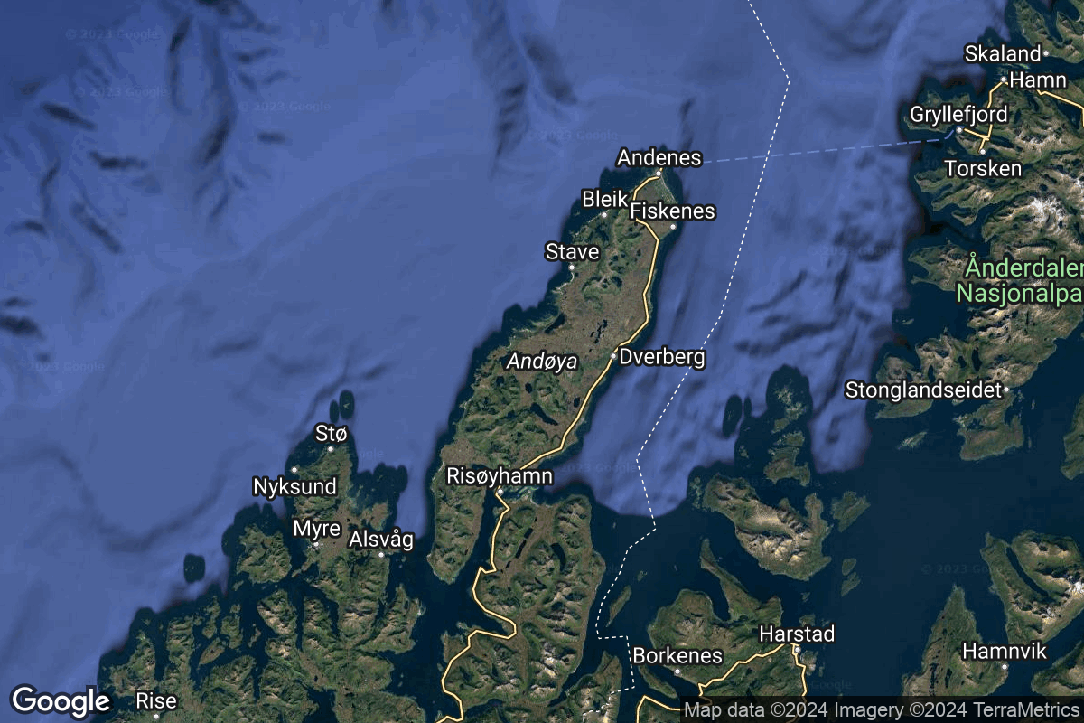
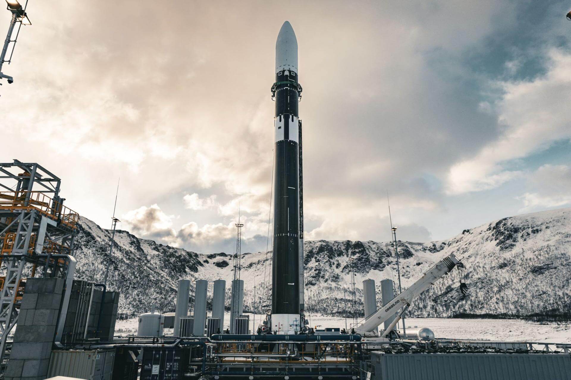
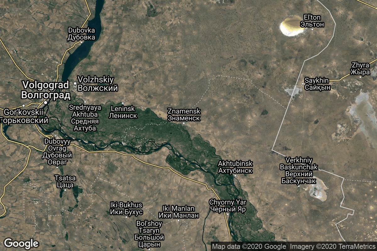
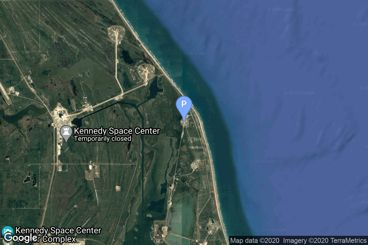
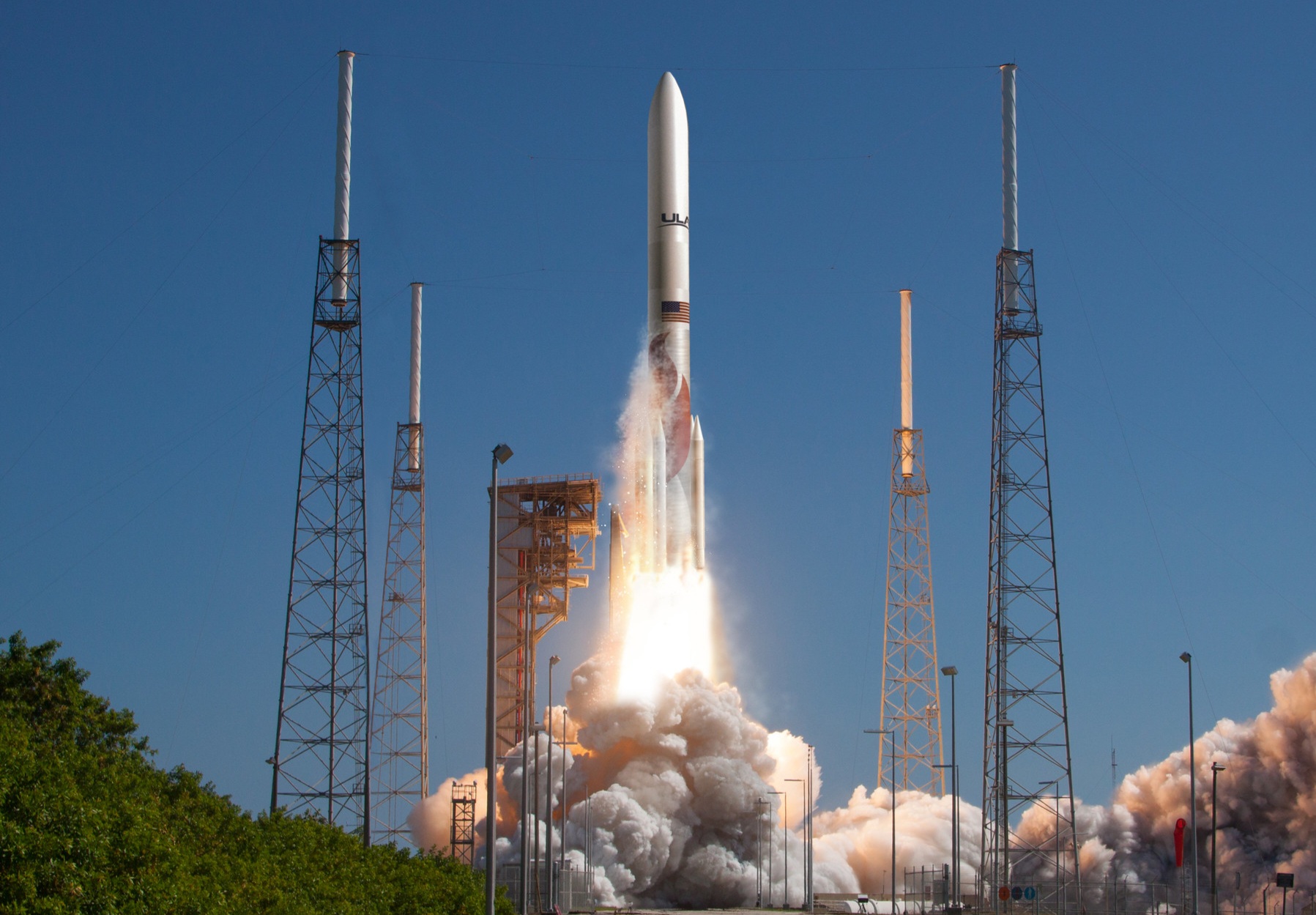
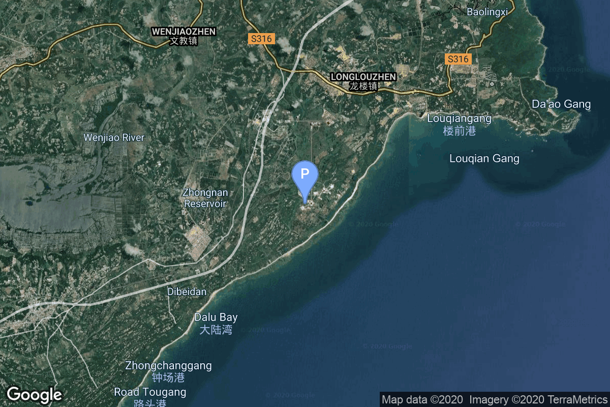
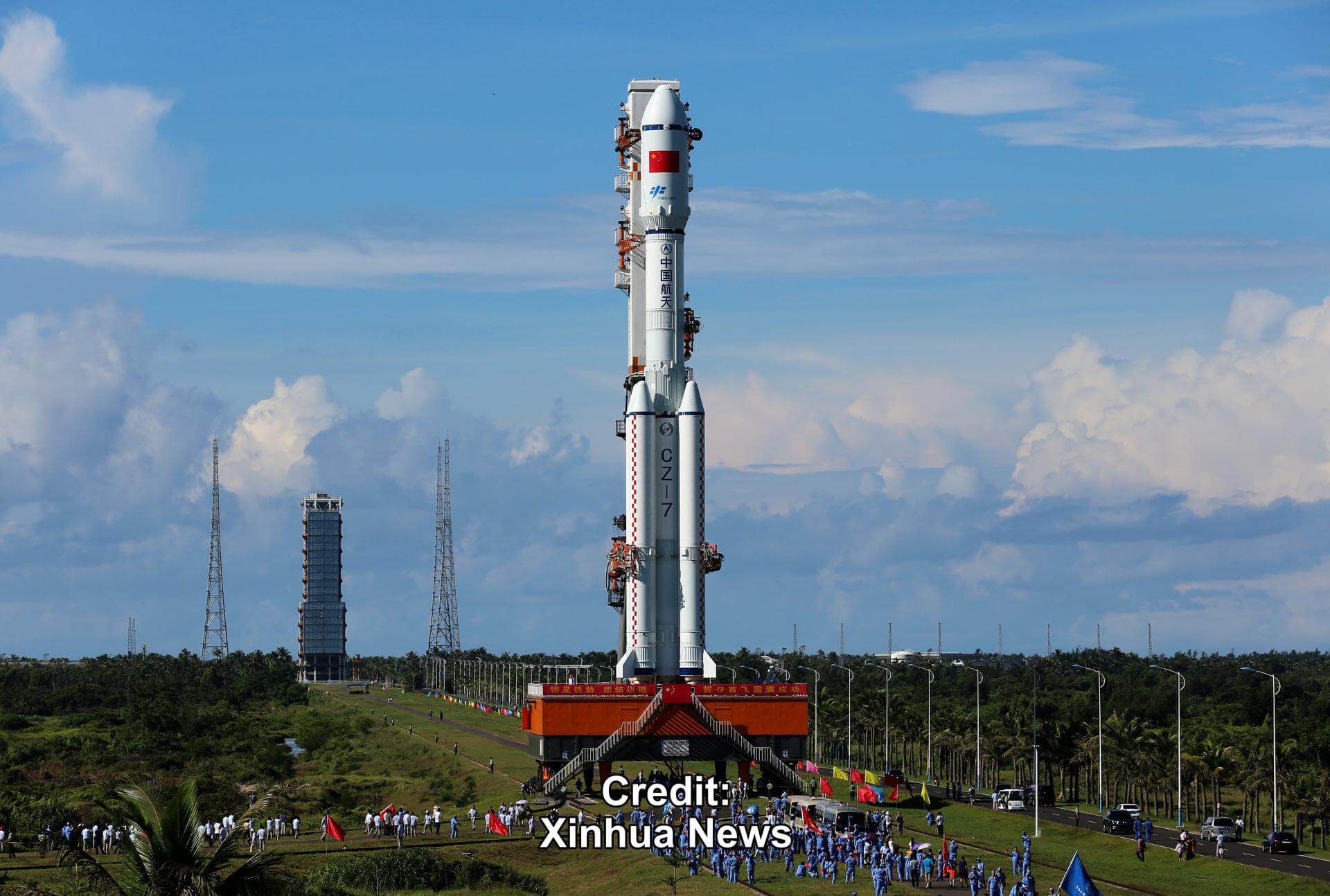
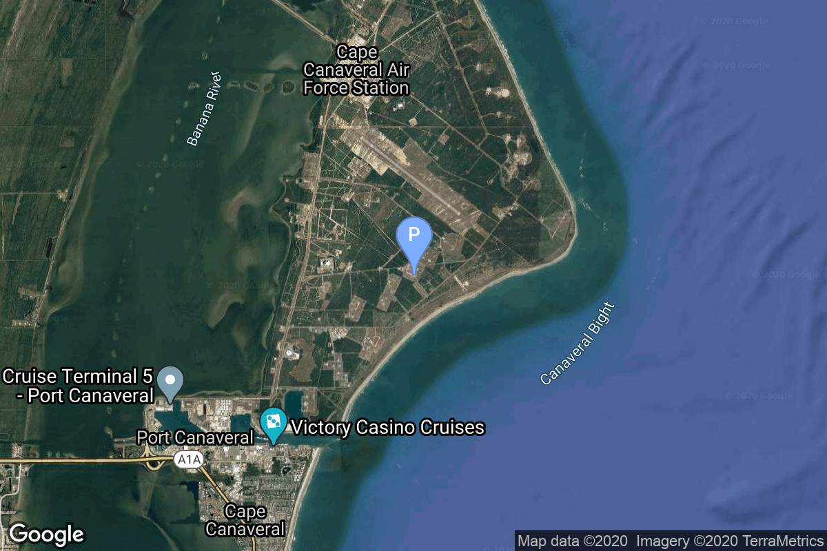
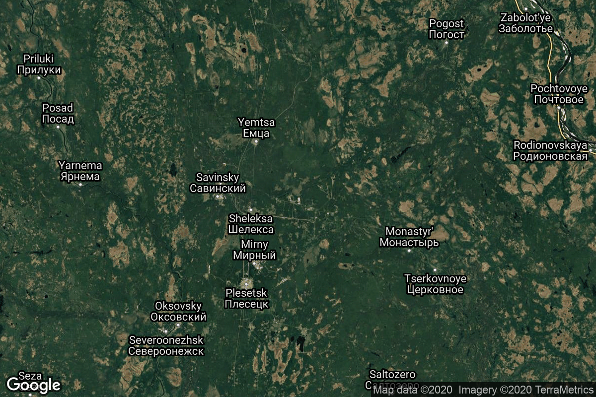
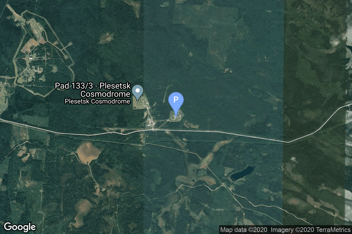
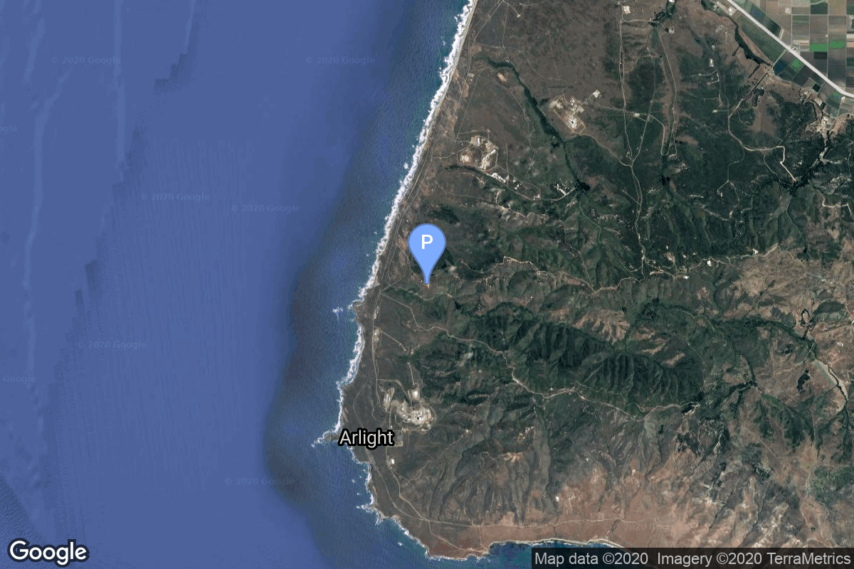
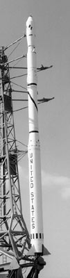
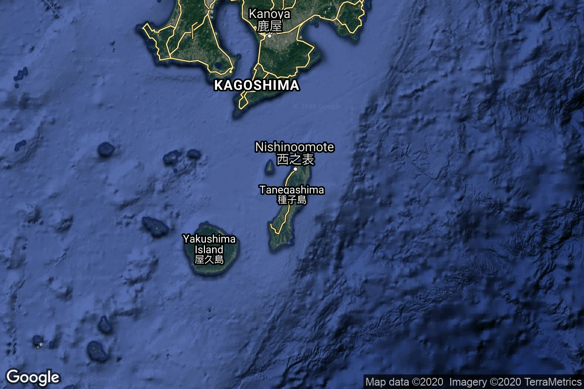
{ "count": 8082, "next": "https://ll.thespacedevs.com/2.0.0/launch/?format=api&limit=10&offset=840&ordering=id", "previous": "https://ll.thespacedevs.com/2.0.0/launch/?format=api&limit=10&offset=820&ordering=id", "results": [ { "id": "1b23eb18-e06e-4058-9b42-e95ca0980511", "url": "https://ll.thespacedevs.com/2.0.0/launch/1b23eb18-e06e-4058-9b42-e95ca0980511/?format=api", "launch_library_id": null, "slug": "spectrum-onward-and-upward", "name": "Spectrum | Onward and Upward", "status": { "id": 3, "name": "Success" }, "net": "2026-09-05T20:12:00Z", "window_end": "2026-09-05T21:00:00Z", "window_start": "2026-09-05T20:00:00Z", "inhold": false, "tbdtime": false, "tbddate": false, "probability": null, "holdreason": "", "failreason": "", "hashtag": null, "launch_service_provider": { "id": 1046, "url": "https://ll.thespacedevs.com/2.0.0/agencies/1046/?format=api", "name": "Isar Aerospace", "type": "Private" }, "rocket": { "id": 8716, "configuration": { "id": 491, "launch_library_id": null, "url": "https://ll.thespacedevs.com/2.0.0/config/launcher/491/?format=api", "name": "Spectrum", "family": "", "full_name": "Spectrum", "variant": "" } }, "mission": { "id": 7309, "launch_library_id": null, "name": "Onward and Upward", "description": "Second test flight of the Isar Spectrum launch vehicle. This launch will carry 5 cubesats and 1 non-separable experiment as part of European Space Agency (ESA)'s “Boost!” program:\r\n\r\n* CyBEEsat (TU Berlin)\r\n* TriSat-S (University of Maribor)\r\n* Platform 6 (EnduroSat)\r\n* FramSat-1 (NTNU)\r\n* SpaceTeamSat1 (TU Wien Space Team)\r\n* Let It Go (Dcubed, non-separable experiment)", "launch_designator": null, "type": "Test Flight", "orbit": { "id": 17, "name": "Sun-Synchronous Orbit", "abbrev": "SSO" } }, "pad": { "id": 51, "url": "https://ll.thespacedevs.com/2.0.0/pad/51/?format=api", "agency_id": null, "name": "Orbital Launch Pad", "info_url": null, "wiki_url": "https://en.wikipedia.org/wiki/And%C3%B8ya_Space", "map_url": "https://www.google.com/maps?q=69.1084,15.5895", "latitude": "69.1084", "longitude": "15.5895", "location": { "id": 161, "url": "https://ll.thespacedevs.com/2.0.0/location/161/?format=api", "name": "Andøya Spaceport", "country_code": "NOR", "map_image": "https://thespacedevs-prod.nyc3.digitaloceanspaces.com/media/map_images/location_161_20240109072235.jpg", "total_launch_count": 2, "total_landing_count": 0 }, "map_image": "https://thespacedevs-prod.nyc3.digitaloceanspaces.com/media/map_images/pad_51_20200803143605.jpg", "total_launch_count": 2 }, "webcast_live": false, "image": "https://thespacedevs-prod.nyc3.digitaloceanspaces.com/media/images/spectrum_on_the_image_20250321072643.jpeg", "infographic": null, "program": [] }, { "id": "1b3244cf-2385-40d5-a178-4ee5e84869d9", "url": "https://ll.thespacedevs.com/2.0.0/launch/1b3244cf-2385-40d5-a178-4ee5e84869d9/?format=api", "launch_library_id": null, "slug": "kosmos-3m-taifun-1b-7", "name": "Kosmos-3M | Taifun-1B 7", "status": { "id": 3, "name": "Success" }, "net": "1984-06-28T13:10:00Z", "window_end": "1984-06-28T13:10:00Z", "window_start": "1984-06-28T13:10:00Z", "inhold": false, "tbdtime": false, "tbddate": false, "probability": null, "holdreason": "", "failreason": null, "hashtag": null, "launch_service_provider": { "id": 66, "url": "https://ll.thespacedevs.com/2.0.0/agencies/66/?format=api", "name": "Soviet Space Program", "type": "Government" }, "rocket": { "id": 5653, "configuration": { "id": 102, "launch_library_id": 122, "url": "https://ll.thespacedevs.com/2.0.0/config/launcher/102/?format=api", "name": "Kosmos-3M", "family": "Kosmos", "full_name": "Kosmos-3M (11K65M)", "variant": "-3M" } }, "mission": { "id": 4055, "launch_library_id": null, "name": "Taifun-1B 7", "description": "Passive radar calibration satellite", "launch_designator": null, "type": "Test Target", "orbit": { "id": 8, "name": "Low Earth Orbit", "abbrev": "LEO" } }, "pad": { "id": 137, "url": "https://ll.thespacedevs.com/2.0.0/pad/137/?format=api", "agency_id": null, "name": "107/1", "info_url": null, "wiki_url": "https://en.wikipedia.org/wiki/Kapustin_Yar", "map_url": "https://www.google.com/maps?q=48.540716,46.296826", "latitude": "48.540716", "longitude": "46.296826", "location": { "id": 30, "url": "https://ll.thespacedevs.com/2.0.0/location/30/?format=api", "name": "Kapustin Yar, Russian Federation", "country_code": "RUS", "map_image": "https://thespacedevs-prod.nyc3.digitaloceanspaces.com/media/map_images/location_30_20200803142515.jpg", "total_launch_count": 101, "total_landing_count": 0 }, "map_image": "https://thespacedevs-prod.nyc3.digitaloceanspaces.com/media/map_images/pad_137_20200803143332.jpg", "total_launch_count": 20 }, "webcast_live": false, "image": "https://thespacedevs-prod.nyc3.digitaloceanspaces.com/media/images/kosmos-3m_durin_image_20251101171325.jpg", "infographic": null, "program": [] }, { "id": "1b34c3e0-51fa-4ad9-9aa7-8a75a8cf6446", "url": "https://ll.thespacedevs.com/2.0.0/launch/1b34c3e0-51fa-4ad9-9aa7-8a75a8cf6446/?format=api", "launch_library_id": null, "slug": "spaceshiptwo-vss-unity-gf02", "name": "SpaceShipTwo | VSS Unity GF02", "status": { "id": 3, "name": "Success" }, "net": "2016-12-22T12:00:00Z", "window_end": "2016-12-22T12:00:00Z", "window_start": "2016-12-22T12:00:00Z", "inhold": false, "tbdtime": false, "tbddate": false, "probability": null, "holdreason": "", "failreason": "", "hashtag": null, "launch_service_provider": { "id": 1024, "url": "https://ll.thespacedevs.com/2.0.0/agencies/1024/?format=api", "name": "Virgin Galactic", "type": "Private" }, "rocket": { "id": 2936, "configuration": { "id": 465, "launch_library_id": null, "url": "https://ll.thespacedevs.com/2.0.0/config/launcher/465/?format=api", "name": "SpaceShipTwo", "family": "", "full_name": "SpaceShipTwo", "variant": "" } }, "mission": { "id": 1353, "launch_library_id": null, "name": "VSS Unity GF02", "description": "Free glide test flight of VSS Unity.", "launch_designator": null, "type": "Test Flight", "orbit": { "id": 15, "name": "Suborbital", "abbrev": "Sub" } }, "pad": { "id": 190, "url": "https://ll.thespacedevs.com/2.0.0/pad/190/?format=api", "agency_id": 1024, "name": "Mojave Air and Space Port", "info_url": "https://www.mojaveairport.com/", "wiki_url": "https://en.wikipedia.org/wiki/Mojave_Air_and_Space_Port", "map_url": "https://www.google.com/maps?q=35.0594444,-118.1538607", "latitude": "35.0594444", "longitude": "-118.1538607", "location": { "id": 144, "url": "https://ll.thespacedevs.com/2.0.0/location/144/?format=api", "name": "Air launch to Suborbital flight", "country_code": "???", "map_image": "https://thespacedevs-prod.nyc3.digitaloceanspaces.com/media/map_images/location_144_20200803142439.jpg", "total_launch_count": 86, "total_landing_count": 0 }, "map_image": "https://thespacedevs-prod.nyc3.digitaloceanspaces.com/media/map_images/pad_190_20210522160913.jpg", "total_launch_count": 53 }, "webcast_live": false, "image": "https://thespacedevs-prod.nyc3.digitaloceanspaces.com/media/images/spaceshiptwo_image_20210522140909.jpeg", "infographic": null, "program": [] }, { "id": "1b40be2c-2070-47d7-9342-9da13467006d", "url": "https://ll.thespacedevs.com/2.0.0/launch/1b40be2c-2070-47d7-9342-9da13467006d/?format=api", "launch_library_id": null, "slug": "vulcan-vc6l-amazon-leo-lv-11", "name": "Vulcan VC6L | Amazon Leo (LV-11)", "status": { "id": 2, "name": "TBD" }, "net": "2029-12-31T00:00:00Z", "window_end": "2029-12-31T00:00:00Z", "window_start": "2029-12-31T00:00:00Z", "inhold": false, "tbdtime": true, "tbddate": true, "probability": null, "holdreason": "", "failreason": "", "hashtag": null, "launch_service_provider": { "id": 124, "url": "https://ll.thespacedevs.com/2.0.0/agencies/124/?format=api", "name": "United Launch Alliance", "type": "Commercial" }, "rocket": { "id": 9170, "configuration": { "id": 479, "launch_library_id": null, "url": "https://ll.thespacedevs.com/2.0.0/config/launcher/479/?format=api", "name": "Vulcan VC6L", "family": "Vulcan", "full_name": "Vulcan VC6L", "variant": "VC6L" } }, "mission": { "id": 7769, "launch_library_id": null, "name": "Amazon Leo (LV-11)", "description": "Amazon Leo, formerly known as Project Kuiper, is a mega constellation of satellites in Low Earth Orbit that will offer broadband internet access, this constellation will be managed by Kuiper Systems LLC, a subsidiary of Amazon. This constellation is planned to be composed of 3,276 satellites. The satellites are projected to be placed in 98 orbital planes in three orbital layers, one at 590 km, 610 km and 630 km altitude.\r\n\r\n45 satellites will be carried on each Vulcan launch.", "launch_designator": null, "type": "Communications", "orbit": { "id": 8, "name": "Low Earth Orbit", "abbrev": "LEO" } }, "pad": { "id": 29, "url": "https://ll.thespacedevs.com/2.0.0/pad/29/?format=api", "agency_id": null, "name": "Space Launch Complex 41", "info_url": null, "wiki_url": "https://en.wikipedia.org/wiki/Cape_Canaveral_Air_Force_Station_Space_Launch_Complex_41", "map_url": "https://www.google.com/maps?q=28.58341025,-80.58303644", "latitude": "28.58341025", "longitude": "-80.58303644", "location": { "id": 12, "url": "https://ll.thespacedevs.com/2.0.0/location/12/?format=api", "name": "Cape Canaveral SFS, FL, USA", "country_code": "USA", "map_image": "https://thespacedevs-prod.nyc3.digitaloceanspaces.com/media/map_images/location_12_20200803142519.jpg", "total_launch_count": 1129, "total_landing_count": 79 }, "map_image": "https://thespacedevs-prod.nyc3.digitaloceanspaces.com/media/map_images/pad_29_20200803143528.jpg", "total_launch_count": 125 }, "webcast_live": false, "image": "https://thespacedevs-prod.nyc3.digitaloceanspaces.com/media/images/vulcan_vc6l_image_20220406123130.jpg", "infographic": null, "program": [ { "id": 27, "url": "https://ll.thespacedevs.com/2.0.0/program/27/?format=api", "name": "Amazon Leo", "description": "Amazon Leo is a satellite internet constellation aimed at providing high-speed, low-latency broadband connectivity to underserved and remote areas globally. The project involves deploying a constellation of low Earth orbit (LEO) satellites to create a satellite internet network capable of delivering reliable internet access.", "agencies": [ { "id": 1058, "url": "https://ll.thespacedevs.com/2.0.0/agencies/1058/?format=api", "name": "Amazon Leo", "type": "Private" } ], "image_url": "https://thespacedevs-prod.nyc3.digitaloceanspaces.com/media/images/project2520kui_program_20231228165031.jpeg", "start_date": "2023-10-16T18:06:00Z", "end_date": null, "info_url": "https://en.wikipedia.org/wiki/Kuiper_Systems", "wiki_url": "https://aboutamazon.com/what-we-do/devices-services/project-kuiper" } ] }, { "id": "1b411bfa-86b8-4b88-8f01-6e97ca4b90d7", "url": "https://ll.thespacedevs.com/2.0.0/launch/1b411bfa-86b8-4b88-8f01-6e97ca4b90d7/?format=api", "launch_library_id": null, "slug": "long-march-7-tianzhou-8", "name": "Long March 7 | Tianzhou-8", "status": { "id": 3, "name": "Success" }, "net": "2024-11-15T15:13:18Z", "window_end": "2024-11-15T15:20:00Z", "window_start": "2024-11-15T15:03:00Z", "inhold": false, "tbdtime": false, "tbddate": false, "probability": null, "holdreason": "", "failreason": "", "hashtag": null, "launch_service_provider": { "id": 88, "url": "https://ll.thespacedevs.com/2.0.0/agencies/88/?format=api", "name": "China Aerospace Science and Technology Corporation", "type": "Government" }, "rocket": { "id": 8104, "configuration": { "id": 100, "launch_library_id": 130, "url": "https://ll.thespacedevs.com/2.0.0/config/launcher/100/?format=api", "name": "Long March 7", "family": "Long March", "full_name": "Long March 7", "variant": "" } }, "mission": { "id": 6662, "launch_library_id": null, "name": "Tianzhou-8", "description": "Seventh cargo delivery mission to the Chinese space station.", "launch_designator": null, "type": "Resupply", "orbit": { "id": 8, "name": "Low Earth Orbit", "abbrev": "LEO" } }, "pad": { "id": 176, "url": "https://ll.thespacedevs.com/2.0.0/pad/176/?format=api", "agency_id": null, "name": "201", "info_url": null, "wiki_url": "https://en.wikipedia.org/wiki/Wenchang_Spacecraft_Launch_Site", "map_url": "https://www.google.com/maps?q=19.618452,110.955356", "latitude": "19.618452", "longitude": "110.955356", "location": { "id": 8, "url": "https://ll.thespacedevs.com/2.0.0/location/8/?format=api", "name": "Wenchang Space Launch Site, People's Republic of China", "country_code": "CHN", "map_image": "https://thespacedevs-prod.nyc3.digitaloceanspaces.com/media/map_images/location_8_20200803142445.jpg", "total_launch_count": 74, "total_landing_count": 0 }, "map_image": "https://thespacedevs-prod.nyc3.digitaloceanspaces.com/media/map_images/pad_176_20200803143412.jpg", "total_launch_count": 33 }, "webcast_live": false, "image": "https://thespacedevs-prod.nyc3.digitaloceanspaces.com/media/images/long_march_7_image_20210513083007.jpeg", "infographic": null, "program": [ { "id": 19, "url": "https://ll.thespacedevs.com/2.0.0/program/19/?format=api", "name": "Tiangong space station", "description": "The Tiangong space station is a space station placed in Low Earth orbit between 340 and 450 km above the surface.", "agencies": [ { "id": 88, "url": "https://ll.thespacedevs.com/2.0.0/agencies/88/?format=api", "name": "China Aerospace Science and Technology Corporation", "type": "Government" } ], "image_url": "https://thespacedevs-prod.nyc3.digitaloceanspaces.com/media/images/chinese2520spa_program_20210608105528.png", "start_date": "2021-04-29T03:23:00Z", "end_date": null, "info_url": null, "wiki_url": "https://en.wikipedia.org/wiki/Tiangong_space_station" } ] }, { "id": "1b5c8502-939b-4027-86bf-8d6cad7d7b0b", "url": "https://ll.thespacedevs.com/2.0.0/launch/1b5c8502-939b-4027-86bf-8d6cad7d7b0b/?format=api", "launch_library_id": null, "slug": "delta-6925-gps-2-5", "name": "Delta 6925 | GPS-2 5", "status": { "id": 3, "name": "Success" }, "net": "1989-12-11T18:10:01Z", "window_end": "1989-12-11T18:10:01Z", "window_start": "1989-12-11T18:10:01Z", "inhold": false, "tbdtime": false, "tbddate": false, "probability": null, "holdreason": "", "failreason": "", "hashtag": null, "launch_service_provider": { "id": 161, "url": "https://ll.thespacedevs.com/2.0.0/agencies/161/?format=api", "name": "United States Air Force", "type": "Government" }, "rocket": { "id": 6228, "configuration": { "id": 300, "launch_library_id": null, "url": "https://ll.thespacedevs.com/2.0.0/config/launcher/300/?format=api", "name": "Delta II", "family": "Delta", "full_name": "Delta II 6925", "variant": "6925" } }, "mission": { "id": 4618, "launch_library_id": null, "name": "GPS-2 5", "description": "Second generation GPS navigation satellite", "launch_designator": null, "type": "Navigation", "orbit": { "id": 12, "name": "Medium Earth Orbit", "abbrev": "MEO" } }, "pad": { "id": 1, "url": "https://ll.thespacedevs.com/2.0.0/pad/1/?format=api", "agency_id": null, "name": "Space Launch Complex 17B", "info_url": null, "wiki_url": "https://en.wikipedia.org/wiki/Cape_Canaveral_Space_Launch_Complex_17", "map_url": "https://www.google.com/maps?q=28.4458,-80.5657", "latitude": "28.4458", "longitude": "-80.5657", "location": { "id": 12, "url": "https://ll.thespacedevs.com/2.0.0/location/12/?format=api", "name": "Cape Canaveral SFS, FL, USA", "country_code": "USA", "map_image": "https://thespacedevs-prod.nyc3.digitaloceanspaces.com/media/map_images/location_12_20200803142519.jpg", "total_launch_count": 1129, "total_landing_count": 79 }, "map_image": "https://thespacedevs-prod.nyc3.digitaloceanspaces.com/media/map_images/pad_1_20200803143208.jpg", "total_launch_count": 132 }, "webcast_live": false, "image": null, "infographic": null, "program": [ { "id": 29, "url": "https://ll.thespacedevs.com/2.0.0/program/29/?format=api", "name": "Global Positioning System", "description": "The Global Positioning System (GPS), originally Navstar GPS, is a satellite-based radio navigation system owned by the United States government and operated by the United States Space Force. It is one of the global navigation satellite systems (GNSS) that provide geolocation and time information to a GPS receiver anywhere on or near the Earth where there is an unobstructed line of sight to four or more GPS satellites.", "agencies": [ { "id": 1041, "url": "https://ll.thespacedevs.com/2.0.0/agencies/1041/?format=api", "name": "United States Space Force", "type": "Government" } ], "image_url": "https://thespacedevs-prod.nyc3.digitaloceanspaces.com/media/images/global2520posi_program_20231229182501.png", "start_date": "1978-02-22T00:00:00Z", "end_date": null, "info_url": "https://www.gps.gov/", "wiki_url": "https://en.wikipedia.org/wiki/Global_Positioning_System" } ] }, { "id": "1b640ed5-60a0-4b2b-9215-87bfdba08b77", "url": "https://ll.thespacedevs.com/2.0.0/launch/1b640ed5-60a0-4b2b-9215-87bfdba08b77/?format=api", "launch_library_id": null, "slug": "kosmos-3m-parus-18", "name": "Kosmos-3M | Parus 18", "status": { "id": 3, "name": "Success" }, "net": "1979-03-21T04:13:00Z", "window_end": "1979-03-21T04:13:00Z", "window_start": "1979-03-21T04:13:00Z", "inhold": false, "tbdtime": false, "tbddate": false, "probability": null, "holdreason": "", "failreason": null, "hashtag": null, "launch_service_provider": { "id": 66, "url": "https://ll.thespacedevs.com/2.0.0/agencies/66/?format=api", "name": "Soviet Space Program", "type": "Government" }, "rocket": { "id": 5057, "configuration": { "id": 102, "launch_library_id": 122, "url": "https://ll.thespacedevs.com/2.0.0/config/launcher/102/?format=api", "name": "Kosmos-3M", "family": "Kosmos", "full_name": "Kosmos-3M (11K65M)", "variant": "-3M" } }, "mission": { "id": 3469, "launch_library_id": null, "name": "Parus 18", "description": "Navigation satellite providing location information for the Tsiklon-B navigation system", "launch_designator": null, "type": "Navigation", "orbit": { "id": 8, "name": "Low Earth Orbit", "abbrev": "LEO" } }, "pad": { "id": 167, "url": "https://ll.thespacedevs.com/2.0.0/pad/167/?format=api", "agency_id": null, "name": "132/2", "info_url": null, "wiki_url": "https://en.wikipedia.org/wiki/Plesetsk_Cosmodrome", "map_url": "https://www.google.com/maps?q=62.883,40.869806", "latitude": "62.883", "longitude": "40.869806", "location": { "id": 6, "url": "https://ll.thespacedevs.com/2.0.0/location/6/?format=api", "name": "Plesetsk Cosmodrome, Russian Federation", "country_code": "RUS", "map_image": "https://thespacedevs-prod.nyc3.digitaloceanspaces.com/media/map_images/location_6_20200803142434.jpg", "total_launch_count": 1688, "total_landing_count": 0 }, "map_image": "https://thespacedevs-prod.nyc3.digitaloceanspaces.com/media/map_images/pad_167_20200803143417.jpg", "total_launch_count": 172 }, "webcast_live": false, "image": "https://thespacedevs-prod.nyc3.digitaloceanspaces.com/media/images/kosmos-3m_durin_image_20251101171325.jpg", "infographic": null, "program": [] }, { "id": "1b64f1ff-9420-414b-bbd8-aa9902fd3736", "url": "https://ll.thespacedevs.com/2.0.0/launch/1b64f1ff-9420-414b-bbd8-aa9902fd3736/?format=api", "launch_library_id": null, "slug": "scout-b-1-triad-1", "name": "Scout B-1 | Triad 1", "status": { "id": 3, "name": "Success" }, "net": "1972-09-02T17:50:30Z", "window_end": "1972-09-02T17:50:30Z", "window_start": "1972-09-02T17:50:30Z", "inhold": false, "tbdtime": false, "tbddate": false, "probability": null, "holdreason": "", "failreason": null, "hashtag": null, "launch_service_provider": { "id": 161, "url": "https://ll.thespacedevs.com/2.0.0/agencies/161/?format=api", "name": "United States Air Force", "type": "Government" }, "rocket": { "id": 4291, "configuration": { "id": 359, "launch_library_id": null, "url": "https://ll.thespacedevs.com/2.0.0/config/launcher/359/?format=api", "name": "Scout B-1", "family": "Scout", "full_name": "Scout B-1", "variant": "B-1" } }, "mission": { "id": 2709, "launch_library_id": null, "name": "Triad 1", "description": "Satellite designed to accurately measure atmospheric drag in order to improve the accuracy of the USN Transit Navigation System", "launch_designator": null, "type": "Navigation", "orbit": { "id": 13, "name": "Polar Orbit", "abbrev": "PO" } }, "pad": { "id": 154, "url": "https://ll.thespacedevs.com/2.0.0/pad/154/?format=api", "agency_id": null, "name": "Space Launch Complex 5", "info_url": "https://www.astronautix.com/v/vandenbergslc5.html", "wiki_url": "https://en.wikipedia.org/wiki/Vandenberg_Air_Force_Base_Space_Launch_Complex_5", "map_url": "https://www.google.com/maps?q=34.6080,-120.6247", "latitude": "34.608", "longitude": "-120.6247", "location": { "id": 11, "url": "https://ll.thespacedevs.com/2.0.0/location/11/?format=api", "name": "Vandenberg SFB, CA, USA", "country_code": "USA", "map_image": "https://thespacedevs-prod.nyc3.digitaloceanspaces.com/media/map_images/location_11_20200803142416.jpg", "total_launch_count": 915, "total_landing_count": 35 }, "map_image": "https://thespacedevs-prod.nyc3.digitaloceanspaces.com/media/map_images/pad_154_20200803143408.jpg", "total_launch_count": 69 }, "webcast_live": false, "image": "https://thespacedevs-prod.nyc3.digitaloceanspaces.com/media/images/scout-b1_2528e_image_20251211153459.jpg", "infographic": null, "program": [] }, { "id": "1b690daf-1ff0-45fa-b790-8abf5a9a5f77", "url": "https://ll.thespacedevs.com/2.0.0/launch/1b690daf-1ff0-45fa-b790-8abf5a9a5f77/?format=api", "launch_library_id": null, "slug": "h-iia-202-igs-optical-2", "name": "H-IIA 202 | IGS Optical 2", "status": { "id": 3, "name": "Success" }, "net": "2006-09-11T04:35:00Z", "window_end": "2006-09-11T04:35:00Z", "window_start": "2006-09-11T04:35:00Z", "inhold": false, "tbdtime": false, "tbddate": false, "probability": null, "holdreason": "", "failreason": "", "hashtag": null, "launch_service_provider": { "id": 37, "url": "https://ll.thespacedevs.com/2.0.0/agencies/37/?format=api", "name": "Japan Aerospace Exploration Agency", "type": "Government" }, "rocket": { "id": 7282, "configuration": { "id": 32, "launch_library_id": 53, "url": "https://ll.thespacedevs.com/2.0.0/config/launcher/32/?format=api", "name": "H-IIA", "family": "H-II", "full_name": "H-IIA 202", "variant": "202" } }, "mission": { "id": 5671, "launch_library_id": null, "name": "IGS Optical 2", "description": "The IGS-Optical (Intelligence Gathering Satellite), built by Mitsubishi Electric (MELCO), is an optical reconnaissance satellite with a projected life of 5 years. The satellite will be operated by the Cabinet Satellite Information Center. The 850 kg IGS-Optical 1 is equipped with an optical sensor. The resolution is probably about 1 meter. The satellite serves both Japan's national defense and civil natural disaster monitoring.", "launch_designator": null, "type": "Government/Top Secret", "orbit": { "id": 17, "name": "Sun-Synchronous Orbit", "abbrev": "SSO" } }, "pad": { "id": 41, "url": "https://ll.thespacedevs.com/2.0.0/pad/41/?format=api", "agency_id": 37, "name": "Yoshinobu Launch Complex LP-1", "info_url": null, "wiki_url": "https://en.wikipedia.org/wiki/Yoshinobu_Launch_Complex", "map_url": "https://www.google.com/maps?q=30.400813,130.977748", "latitude": "30.400813", "longitude": "130.977748", "location": { "id": 26, "url": "https://ll.thespacedevs.com/2.0.0/location/26/?format=api", "name": "Tanegashima Space Center, Japan", "country_code": "JPN", "map_image": "https://thespacedevs-prod.nyc3.digitaloceanspaces.com/media/map_images/location_26_20200803142507.jpg", "total_launch_count": 99, "total_landing_count": 0 }, "map_image": "https://thespacedevs-prod.nyc3.digitaloceanspaces.com/media/map_images/pad_41_20200803143551.jpg", "total_launch_count": 57 }, "webcast_live": false, "image": "https://thespacedevs-prod.nyc3.digitaloceanspaces.com/media/images/h-iia_202_lifto_image_20240325123250.jpg", "infographic": null, "program": [] }, { "id": "1b724bae-1b75-46e3-84c7-5cfac7e0deb9", "url": "https://ll.thespacedevs.com/2.0.0/launch/1b724bae-1b75-46e3-84c7-5cfac7e0deb9/?format=api", "launch_library_id": null, "slug": "thor-dsv-2u-dmsp-5d1-f5", "name": "Thor DSV-2U | DMSP-5D1 F5", "status": { "id": 4, "name": "Failure" }, "net": "1980-07-15T02:22:11Z", "window_end": "1980-07-15T02:22:11Z", "window_start": "1980-07-15T02:22:11Z", "inhold": false, "tbdtime": false, "tbddate": false, "probability": null, "holdreason": "", "failreason": null, "hashtag": null, "launch_service_provider": { "id": 161, "url": "https://ll.thespacedevs.com/2.0.0/agencies/161/?format=api", "name": "United States Air Force", "type": "Government" }, "rocket": { "id": 5192, "configuration": { "id": 397, "launch_library_id": null, "url": "https://ll.thespacedevs.com/2.0.0/config/launcher/397/?format=api", "name": "Thor DSV-2U", "family": "Thor", "full_name": "Thor DSV-2U", "variant": "DSV-2U" } }, "mission": { "id": 3602, "launch_library_id": null, "name": "DMSP-5D1 F5", "description": "Military meteorological satellite", "launch_designator": null, "type": "Government/Top Secret", "orbit": { "id": 17, "name": "Sun-Synchronous Orbit", "abbrev": "SSO" } }, "pad": { "id": 171, "url": "https://ll.thespacedevs.com/2.0.0/pad/171/?format=api", "agency_id": null, "name": "Space Launch Complex 10W", "info_url": null, "wiki_url": "https://en.wikipedia.org/wiki/Vandenberg_Air_Force_Base_Space_Launch_Complex_10", "map_url": "https://www.google.com/maps?q=34.7652778,-120.6244162", "latitude": "34.7652778", "longitude": "-120.6244162", "location": { "id": 11, "url": "https://ll.thespacedevs.com/2.0.0/location/11/?format=api", "name": "Vandenberg SFB, CA, USA", "country_code": "USA", "map_image": "https://thespacedevs-prod.nyc3.digitaloceanspaces.com/media/map_images/location_11_20200803142416.jpg", "total_launch_count": 915, "total_landing_count": 35 }, "map_image": "https://thespacedevs-prod.nyc3.digitaloceanspaces.com/media/map_images/pad_171_20200803143449.jpg", "total_launch_count": 31 }, "webcast_live": false, "image": null, "infographic": null, "program": [] } ] }