Launch List
API endpoint that returns all Launch objects or a single launch.
EXAMPLE - /launch/
GET: Return a list of all Launch objects.
FILTERS: Fields - 'name', 'id(s)', 'lsp_id', 'lsp_name', 'serial_number', 'launcher_config__id', 'rocket__spacecraftflight__spacecraft__name'
MODE: 'normal', 'list', 'detailed' EXAMPLE: ?mode=list
SEARCH: Searches through the launch name, rocket name, launch agency, mission name & spacecraft name. EXAMPLE - ?search=SpaceX
GET /2.0.0/launch/?format=api&offset=780&ordering=id
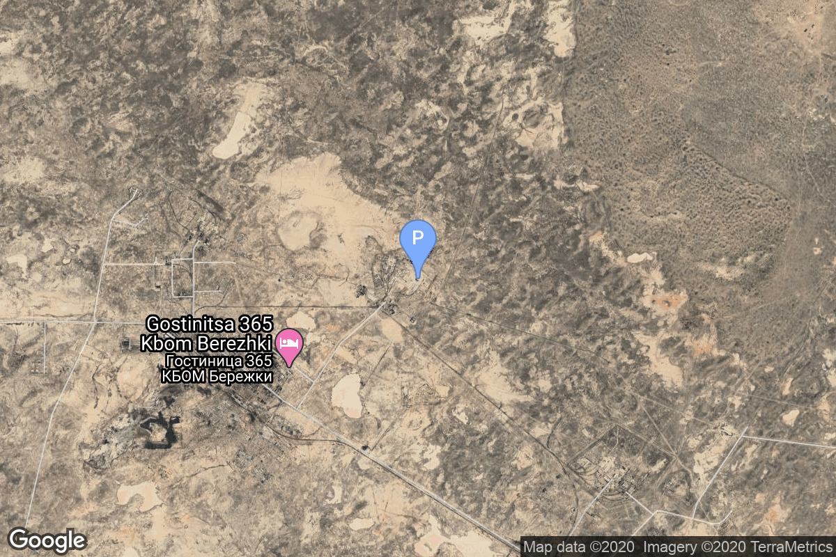
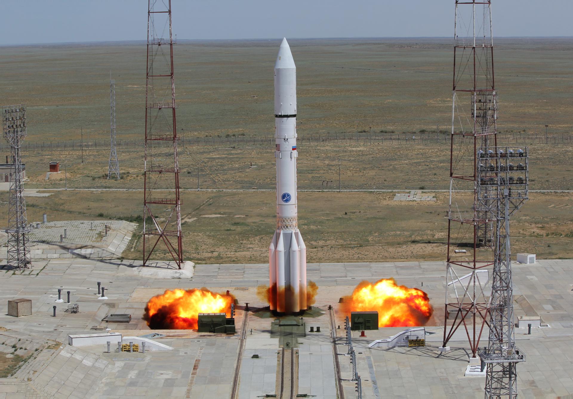
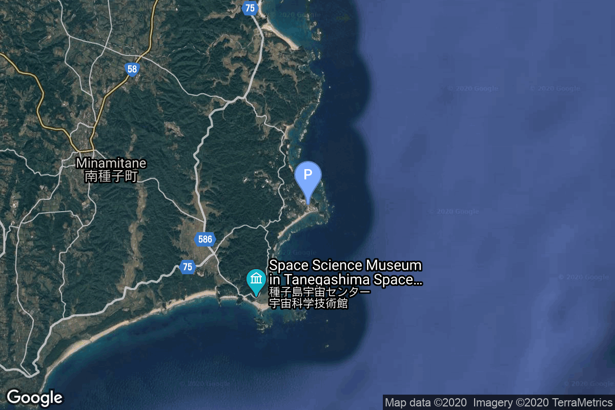
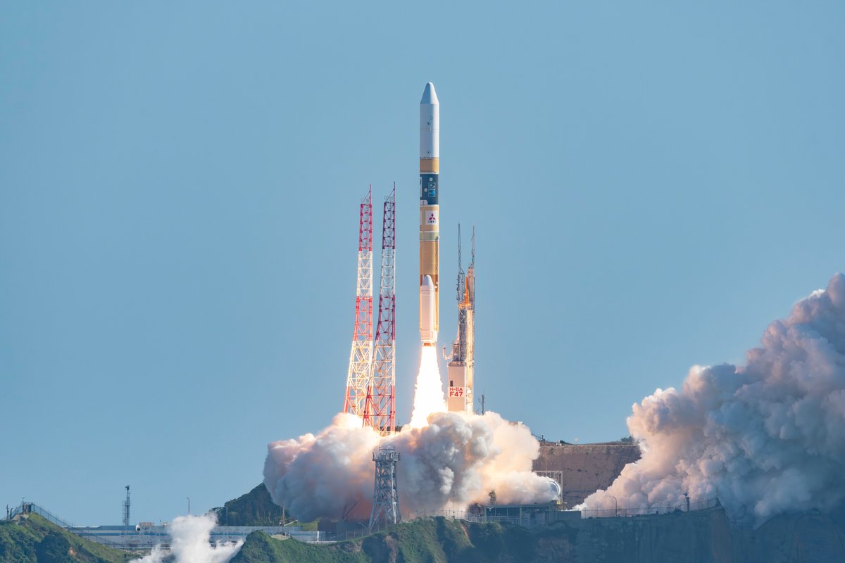
{ "count": 7925, "next": "https://ll.thespacedevs.com/2.0.0/launch/?format=api&limit=10&offset=790&ordering=id", "previous": "https://ll.thespacedevs.com/2.0.0/launch/?format=api&limit=10&offset=770&ordering=id", "results": [ { "id": "19dcb1d1-031b-4b5b-91b0-f9184566da8c", "url": "https://ll.thespacedevs.com/2.0.0/launch/19dcb1d1-031b-4b5b-91b0-f9184566da8c/?format=api", "launch_library_id": null, "slug": "thor-agena-d-kh-4-7", "name": "Thor Agena D | KH-4 7", "status": { "id": 3, "name": "Success" }, "net": "1962-06-28T01:09:00Z", "window_end": "1962-06-28T01:09:00Z", "window_start": "1962-06-28T01:09:00Z", "inhold": false, "tbdtime": false, "tbddate": false, "probability": null, "holdreason": "", "failreason": null, "hashtag": null, "launch_service_provider": { "id": 161, "url": "https://ll.thespacedevs.com/2.0.0/agencies/161/?format=api", "name": "United States Air Force", "type": "Government" }, "rocket": { "id": 3134, "configuration": { "id": 393, "launch_library_id": null, "url": "https://ll.thespacedevs.com/2.0.0/config/launcher/393/?format=api", "name": "Thor Agena D", "family": "Thor", "full_name": "Thor Agena D", "variant": "Agena D" } }, "mission": { "id": 1556, "launch_library_id": null, "name": "KH-4 7", "description": "The KH-4 (Keyhole-4) was fourth version in the Corona-program to build an optical reconnaissance satellite.", "launch_designator": null, "type": "Government/Top Secret", "orbit": { "id": 8, "name": "Low Earth Orbit", "abbrev": "LEO" } }, "pad": { "id": 98, "url": "https://ll.thespacedevs.com/2.0.0/pad/98/?format=api", "agency_id": 161, "name": "Space Launch Complex 2E", "info_url": null, "wiki_url": "https://en.wikipedia.org/wiki/Vandenberg_Space_Launch_Complex_2", "map_url": "https://www.google.com/maps?q=34.7516,-120.6192", "latitude": "34.7516", "longitude": "-120.6192", "location": { "id": 11, "url": "https://ll.thespacedevs.com/2.0.0/location/11/?format=api", "name": "Vandenberg SFB, CA, USA", "country_code": "USA", "map_image": "https://thespacedevs-prod.nyc3.digitaloceanspaces.com/media/map_images/location_11_20200803142416.jpg", "total_launch_count": 898, "total_landing_count": 35 }, "map_image": "https://thespacedevs-prod.nyc3.digitaloceanspaces.com/media/map_images/pad_98_20200803143228.jpg", "total_launch_count": 47 }, "webcast_live": false, "image": "https://thespacedevs-prod.nyc3.digitaloceanspaces.com/media/images/thor-agena_d_2_image_20251204204127.jpg", "infographic": null, "program": [] }, { "id": "19dd0d52-9925-49b8-841d-01ba81b3f0c0", "url": "https://ll.thespacedevs.com/2.0.0/launch/19dd0d52-9925-49b8-841d-01ba81b3f0c0/?format=api", "launch_library_id": null, "slug": "molniya-m-ye-6ls-111", "name": "Molniya-M | Ye-6LS 111", "status": { "id": 3, "name": "Success" }, "net": "1967-05-16T21:43:57Z", "window_end": "1967-05-16T21:43:57Z", "window_start": "1967-05-16T21:43:57Z", "inhold": false, "tbdtime": false, "tbddate": false, "probability": null, "holdreason": "", "failreason": null, "hashtag": null, "launch_service_provider": { "id": 66, "url": "https://ll.thespacedevs.com/2.0.0/agencies/66/?format=api", "name": "Soviet Space Program", "type": "Government" }, "rocket": { "id": 3657, "configuration": { "id": 106, "launch_library_id": 126, "url": "https://ll.thespacedevs.com/2.0.0/config/launcher/106/?format=api", "name": "Molniya-M", "family": "R-7", "full_name": "Molniya-M 2BL", "variant": "2BL" } }, "mission": { "id": 2075, "launch_library_id": null, "name": "Ye-6LS 111", "description": "Luna Ye-6LS was series of lunar orbiters built to test tracking and communications networks for the Soviet crewed lunar program.", "launch_designator": null, "type": "Lunar Exploration", "orbit": { "id": 11, "name": "Lunar Orbit", "abbrev": "LO" } }, "pad": { "id": 32, "url": "https://ll.thespacedevs.com/2.0.0/pad/32/?format=api", "agency_id": null, "name": "1/5", "info_url": null, "wiki_url": "", "map_url": "https://www.google.com/maps?q=45.92,63.342", "latitude": "45.92", "longitude": "63.342", "location": { "id": 15, "url": "https://ll.thespacedevs.com/2.0.0/location/15/?format=api", "name": "Baikonur Cosmodrome, Republic of Kazakhstan", "country_code": "KAZ", "map_image": "https://thespacedevs-prod.nyc3.digitaloceanspaces.com/media/map_images/location_15_20200803142517.jpg", "total_launch_count": 1564, "total_landing_count": 0 }, "map_image": "https://thespacedevs-prod.nyc3.digitaloceanspaces.com/media/map_images/pad_32_20200803143513.jpg", "total_launch_count": 487 }, "webcast_live": false, "image": "https://thespacedevs-prod.nyc3.digitaloceanspaces.com/media/images/molniya_m_image_20251102061752.jpg", "infographic": null, "program": [] }, { "id": "19e540db-83fd-47f7-b766-6dd0f66e759b", "url": "https://ll.thespacedevs.com/2.0.0/launch/19e540db-83fd-47f7-b766-6dd0f66e759b/?format=api", "launch_library_id": null, "slug": "diamant-b-peole", "name": "Diamant B | Péole", "status": { "id": 3, "name": "Success" }, "net": "1970-12-12T13:04:44Z", "window_end": "1970-12-12T13:04:44Z", "window_start": "1970-12-12T13:04:44Z", "inhold": false, "tbdtime": false, "tbddate": false, "probability": null, "holdreason": "", "failreason": null, "hashtag": null, "launch_service_provider": { "id": 46, "url": "https://ll.thespacedevs.com/2.0.0/agencies/46/?format=api", "name": "National Center of Space Research", "type": "Government" }, "rocket": { "id": 4085, "configuration": { "id": 312, "launch_library_id": null, "url": "https://ll.thespacedevs.com/2.0.0/config/launcher/312/?format=api", "name": "Diamant B", "family": "Diamant", "full_name": "Diamant B", "variant": "B" } }, "mission": { "id": 2503, "launch_library_id": null, "name": "Péole", "description": "First French experimental data relay satellite for meteorological data.", "launch_designator": null, "type": "Communications", "orbit": { "id": 8, "name": "Low Earth Orbit", "abbrev": "LEO" } }, "pad": { "id": 125, "url": "https://ll.thespacedevs.com/2.0.0/pad/125/?format=api", "agency_id": 46, "name": "Diamant Launch Area", "info_url": null, "wiki_url": null, "map_url": "https://www.google.com/maps?q=5.2222222,-52.7758051", "latitude": "5.2222222", "longitude": "-52.7758051", "location": { "id": 13, "url": "https://ll.thespacedevs.com/2.0.0/location/13/?format=api", "name": "Guiana Space Centre, French Guiana", "country_code": "GUF", "map_image": "https://thespacedevs-prod.nyc3.digitaloceanspaces.com/media/map_images/location_13_20200803142412.jpg", "total_launch_count": 334, "total_landing_count": 0 }, "map_image": "https://thespacedevs-prod.nyc3.digitaloceanspaces.com/media/map_images/pad_125_20200803143236.jpg", "total_launch_count": 8 }, "webcast_live": false, "image": "https://thespacedevs-prod.nyc3.digitaloceanspaces.com/media/images/diamant_b_lifto_image_20240411170212.jpg", "infographic": null, "program": [] }, { "id": "19e7e5aa-523f-4ed0-b845-04f4fc2a6ce1", "url": "https://ll.thespacedevs.com/2.0.0/launch/19e7e5aa-523f-4ed0-b845-04f4fc2a6ce1/?format=api", "launch_library_id": null, "slug": "voskhod-zenit-4mk-26", "name": "Voskhod | Zenit-4MK 26", "status": { "id": 3, "name": "Success" }, "net": "1974-05-30T12:44:59Z", "window_end": "1974-05-30T12:44:59Z", "window_start": "1974-05-30T12:44:59Z", "inhold": false, "tbdtime": false, "tbddate": false, "probability": null, "holdreason": "", "failreason": null, "hashtag": null, "launch_service_provider": { "id": 66, "url": "https://ll.thespacedevs.com/2.0.0/agencies/66/?format=api", "name": "Soviet Space Program", "type": "Government" }, "rocket": { "id": 4474, "configuration": { "id": 104, "launch_library_id": 138, "url": "https://ll.thespacedevs.com/2.0.0/config/launcher/104/?format=api", "name": "Voskhod", "family": "R-7", "full_name": "Voskhod", "variant": "Voskhod" } }, "mission": { "id": 2892, "launch_library_id": null, "name": "Zenit-4MK 26", "description": "High resolution optical reconnaissance satellite of the Vostok-based Zenit family.", "launch_designator": null, "type": "Government/Top Secret", "orbit": { "id": 8, "name": "Low Earth Orbit", "abbrev": "LEO" } }, "pad": { "id": 85, "url": "https://ll.thespacedevs.com/2.0.0/pad/85/?format=api", "agency_id": 163, "name": "43/4 (43R)", "info_url": null, "wiki_url": null, "map_url": "https://www.google.com/maps?q=62.92883,40.457098", "latitude": "62.92883", "longitude": "40.457098", "location": { "id": 6, "url": "https://ll.thespacedevs.com/2.0.0/location/6/?format=api", "name": "Plesetsk Cosmodrome, Russian Federation", "country_code": "RUS", "map_image": "https://thespacedevs-prod.nyc3.digitaloceanspaces.com/media/map_images/location_6_20200803142434.jpg", "total_launch_count": 1685, "total_landing_count": 0 }, "map_image": "https://thespacedevs-prod.nyc3.digitaloceanspaces.com/media/map_images/pad_85_20200803143554.jpg", "total_launch_count": 328 }, "webcast_live": false, "image": "https://thespacedevs-prod.nyc3.digitaloceanspaces.com/media/images/voskhod_during__image_20251102062248.jpg", "infographic": null, "program": [] }, { "id": "19f06100-4b14-4271-8022-4eabd50bfb4e", "url": "https://ll.thespacedevs.com/2.0.0/launch/19f06100-4b14-4271-8022-4eabd50bfb4e/?format=api", "launch_library_id": null, "slug": "proton-kdm-2m-sesat", "name": "Proton-K/DM-2M | Sesat", "status": { "id": 3, "name": "Success" }, "net": "2000-04-17T21:06:00Z", "window_end": "2000-04-17T21:06:00Z", "window_start": "2000-04-17T21:06:00Z", "inhold": false, "tbdtime": false, "tbddate": false, "probability": null, "holdreason": "", "failreason": null, "hashtag": null, "launch_service_provider": { "id": 96, "url": "https://ll.thespacedevs.com/2.0.0/agencies/96/?format=api", "name": "Khrunichev State Research and Production Space Center", "type": "Government" }, "rocket": { "id": 6980, "configuration": { "id": 350, "launch_library_id": null, "url": "https://ll.thespacedevs.com/2.0.0/config/launcher/350/?format=api", "name": "Proton-K/DM-2M", "family": "Proton / UR-500", "full_name": "Proton-K/DM-2M", "variant": "DM-2M" } }, "mission": { "id": 5369, "launch_library_id": null, "name": "Sesat", "description": "The SESAT 1 (Siberia - Europe SATellite) provides a wide range of telecommunications services over a very large geographical coverage area extending from the Atlantic Ocean to Eastern Russia, including a large part of Siberia. The satellite also provides similar services within the Indian Sub-Continent by means of a Steerable Spotbeam. Sharing the 36° East orbital position with the Eutelsat W4 satellite, SESAT contributes to the development of international, regional and domestic services, such as thin route telephony, corporate and specialised data services and long distance trunk telephony. It facilitates the development of new markets in far eastern Europe and southern Asia for all types of telecommunication and business services, as well as providing full interconnectivity with western and central Europe.", "launch_designator": null, "type": "Communications", "orbit": { "id": 1, "name": "Geostationary Orbit", "abbrev": "Direct-GEO" } }, "pad": { "id": 15, "url": "https://ll.thespacedevs.com/2.0.0/pad/15/?format=api", "agency_id": null, "name": "200/39 (200L)", "info_url": null, "wiki_url": "", "map_url": "https://www.google.com/maps?q=46.039984,63.032093", "latitude": "46.039984", "longitude": "63.032093", "location": { "id": 15, "url": "https://ll.thespacedevs.com/2.0.0/location/15/?format=api", "name": "Baikonur Cosmodrome, Republic of Kazakhstan", "country_code": "KAZ", "map_image": "https://thespacedevs-prod.nyc3.digitaloceanspaces.com/media/map_images/location_15_20200803142517.jpg", "total_launch_count": 1564, "total_landing_count": 0 }, "map_image": "https://thespacedevs-prod.nyc3.digitaloceanspaces.com/media/map_images/pad_15_20200803143530.jpg", "total_launch_count": 167 }, "webcast_live": false, "image": "https://thespacedevs-prod.nyc3.digitaloceanspaces.com/media/images/proton_image_20231231095535.jpg", "infographic": null, "program": [] }, { "id": "19fb49f4-ad3f-45b2-8d8b-993e35d864d9", "url": "https://ll.thespacedevs.com/2.0.0/launch/19fb49f4-ad3f-45b2-8d8b-993e35d864d9/?format=api", "launch_library_id": null, "slug": "proton-kdm-raduga-6", "name": "Proton-K/DM | Raduga 6", "status": { "id": 3, "name": "Success" }, "net": "1980-02-20T08:05:00Z", "window_end": "1980-02-20T08:05:00Z", "window_start": "1980-02-20T08:05:00Z", "inhold": false, "tbdtime": false, "tbddate": false, "probability": null, "holdreason": "", "failreason": null, "hashtag": null, "launch_service_provider": { "id": 66, "url": "https://ll.thespacedevs.com/2.0.0/agencies/66/?format=api", "name": "Soviet Space Program", "type": "Government" }, "rocket": { "id": 5152, "configuration": { "id": 349, "launch_library_id": null, "url": "https://ll.thespacedevs.com/2.0.0/config/launcher/349/?format=api", "name": "Proton-K/DM", "family": "Proton / UR-500", "full_name": "Proton-K/DM", "variant": "DM" } }, "mission": { "id": 3563, "launch_library_id": null, "name": "Raduga 6", "description": "Geostationary communications satellite for military and governmental puposes", "launch_designator": null, "type": "Communications", "orbit": { "id": 1, "name": "Geostationary Orbit", "abbrev": "Direct-GEO" } }, "pad": { "id": 15, "url": "https://ll.thespacedevs.com/2.0.0/pad/15/?format=api", "agency_id": null, "name": "200/39 (200L)", "info_url": null, "wiki_url": "", "map_url": "https://www.google.com/maps?q=46.039984,63.032093", "latitude": "46.039984", "longitude": "63.032093", "location": { "id": 15, "url": "https://ll.thespacedevs.com/2.0.0/location/15/?format=api", "name": "Baikonur Cosmodrome, Republic of Kazakhstan", "country_code": "KAZ", "map_image": "https://thespacedevs-prod.nyc3.digitaloceanspaces.com/media/map_images/location_15_20200803142517.jpg", "total_launch_count": 1564, "total_landing_count": 0 }, "map_image": "https://thespacedevs-prod.nyc3.digitaloceanspaces.com/media/map_images/pad_15_20200803143530.jpg", "total_launch_count": 167 }, "webcast_live": false, "image": "https://thespacedevs-prod.nyc3.digitaloceanspaces.com/media/images/proton_image_20231231095535.jpg", "infographic": null, "program": [] }, { "id": "1a065fc3-6252-4571-9058-4833a3a0cd02", "url": "https://ll.thespacedevs.com/2.0.0/launch/1a065fc3-6252-4571-9058-4833a3a0cd02/?format=api", "launch_library_id": null, "slug": "pslv-oceansat-2", "name": "PSLV | Oceansat-2", "status": { "id": 3, "name": "Success" }, "net": "2009-09-23T06:21:00Z", "window_end": "2009-09-23T06:21:00Z", "window_start": "2009-09-23T06:21:00Z", "inhold": false, "tbdtime": false, "tbddate": false, "probability": null, "holdreason": "", "failreason": null, "hashtag": null, "launch_service_provider": { "id": 31, "url": "https://ll.thespacedevs.com/2.0.0/agencies/31/?format=api", "name": "Indian Space Research Organization", "type": "Government" }, "rocket": { "id": 7405, "configuration": { "id": 43, "launch_library_id": 68, "url": "https://ll.thespacedevs.com/2.0.0/config/launcher/43/?format=api", "name": "PSLV", "family": "PSLV", "full_name": "PSLV-CA", "variant": "CA" } }, "mission": { "id": 5794, "launch_library_id": null, "name": "Oceansat-2", "description": "Oceansat-2 is an earth observation and oceanography satellite operated by ISRO.", "launch_designator": null, "type": "Earth Science", "orbit": { "id": 17, "name": "Sun-Synchronous Orbit", "abbrev": "SSO" } }, "pad": { "id": 50, "url": "https://ll.thespacedevs.com/2.0.0/pad/50/?format=api", "agency_id": 31, "name": "Satish Dhawan Space Centre First Launch Pad", "info_url": null, "wiki_url": "https://en.wikipedia.org/wiki/Satish_Dhawan_Space_Centre_First_Launch_Pad", "map_url": "https://www.google.com/maps?q=13.733,80.235", "latitude": "13.733", "longitude": "80.235", "location": { "id": 14, "url": "https://ll.thespacedevs.com/2.0.0/location/14/?format=api", "name": "Satish Dhawan Space Centre, India", "country_code": "IND", "map_image": "https://thespacedevs-prod.nyc3.digitaloceanspaces.com/media/map_images/location_14_20200803142403.jpg", "total_launch_count": 103, "total_landing_count": 0 }, "map_image": "https://thespacedevs-prod.nyc3.digitaloceanspaces.com/media/map_images/pad_50_20200803143457.jpg", "total_launch_count": 63 }, "webcast_live": false, "image": "https://thespacedevs-prod.nyc3.digitaloceanspaces.com/media/images/pslv_image_20230730102956.jpeg", "infographic": null, "program": [] }, { "id": "1a06c3dc-c909-4a22-a669-1a1d87cfa02b", "url": "https://ll.thespacedevs.com/2.0.0/launch/1a06c3dc-c909-4a22-a669-1a1d87cfa02b/?format=api", "launch_library_id": null, "slug": "proton-m-eutelsat-w3a", "name": "Proton-M | Eutelsat W3A", "status": { "id": 3, "name": "Success" }, "net": "2004-03-15T23:06:00Z", "window_end": "2004-03-15T23:06:00Z", "window_start": "2004-03-15T23:06:00Z", "inhold": false, "tbdtime": false, "tbddate": false, "probability": null, "holdreason": "", "failreason": null, "hashtag": null, "launch_service_provider": { "id": 96, "url": "https://ll.thespacedevs.com/2.0.0/agencies/96/?format=api", "name": "Khrunichev State Research and Production Space Center", "type": "Government" }, "rocket": { "id": 7173, "configuration": { "id": 87, "launch_library_id": 98, "url": "https://ll.thespacedevs.com/2.0.0/config/launcher/87/?format=api", "name": "Proton-M", "family": "Proton / UR-500", "full_name": "Proton-M Briz-M Enhanced", "variant": "Briz-M Enhanced" } }, "mission": { "id": 5562, "launch_library_id": null, "name": "Eutelsat W3A", "description": "W3A is a communications satellite owned by Eutelsat.", "launch_designator": null, "type": "Communications", "orbit": { "id": 1, "name": "Geostationary Orbit", "abbrev": "Direct-GEO" } }, "pad": { "id": 7, "url": "https://ll.thespacedevs.com/2.0.0/pad/7/?format=api", "agency_id": null, "name": "81/24 (81P)", "info_url": null, "wiki_url": "", "map_url": "https://www.google.com/maps?q=46.071001,62.984999", "latitude": "46.071001", "longitude": "62.984999", "location": { "id": 15, "url": "https://ll.thespacedevs.com/2.0.0/location/15/?format=api", "name": "Baikonur Cosmodrome, Republic of Kazakhstan", "country_code": "KAZ", "map_image": "https://thespacedevs-prod.nyc3.digitaloceanspaces.com/media/map_images/location_15_20200803142517.jpg", "total_launch_count": 1564, "total_landing_count": 0 }, "map_image": "https://thespacedevs-prod.nyc3.digitaloceanspaces.com/media/map_images/pad_7_20200803143454.jpg", "total_launch_count": 93 }, "webcast_live": false, "image": "https://thespacedevs-prod.nyc3.digitaloceanspaces.com/media/images/proton-m_image_20191211081456.jpeg", "infographic": null, "program": [] }, { "id": "1a105ccb-e59f-48e8-b853-c424bd8cc699", "url": "https://ll.thespacedevs.com/2.0.0/launch/1a105ccb-e59f-48e8-b853-c424bd8cc699/?format=api", "launch_library_id": null, "slug": "falcon-9-block-5-starlink-group-6-75", "name": "Falcon 9 Block 5 | Starlink Group 6-75", "status": { "id": 3, "name": "Success" }, "net": "2025-05-02T01:51:10Z", "window_end": "2025-05-02T05:51:00Z", "window_start": "2025-05-02T01:51:10Z", "inhold": false, "tbdtime": false, "tbddate": false, "probability": 99, "holdreason": "", "failreason": "", "hashtag": null, "launch_service_provider": { "id": 121, "url": "https://ll.thespacedevs.com/2.0.0/agencies/121/?format=api", "name": "SpaceX", "type": "Commercial" }, "rocket": { "id": 8596, "configuration": { "id": 164, "launch_library_id": 188, "url": "https://ll.thespacedevs.com/2.0.0/config/launcher/164/?format=api", "name": "Falcon 9", "family": "Falcon", "full_name": "Falcon 9 Block 5", "variant": "Block 5" } }, "mission": { "id": 7188, "launch_library_id": null, "name": "Starlink Group 6-75", "description": "A batch of 28 satellites for the Starlink mega-constellation - SpaceX's project for space-based Internet communication system.", "launch_designator": null, "type": "Communications", "orbit": { "id": 8, "name": "Low Earth Orbit", "abbrev": "LEO" } }, "pad": { "id": 80, "url": "https://ll.thespacedevs.com/2.0.0/pad/80/?format=api", "agency_id": 121, "name": "Space Launch Complex 40", "info_url": null, "wiki_url": "https://en.wikipedia.org/wiki/Cape_Canaveral_Air_Force_Station_Space_Launch_Complex_40", "map_url": "https://www.google.com/maps?q=28.56194122,-80.57735736", "latitude": "28.56194122", "longitude": "-80.57735736", "location": { "id": 12, "url": "https://ll.thespacedevs.com/2.0.0/location/12/?format=api", "name": "Cape Canaveral SFS, FL, USA", "country_code": "USA", "map_image": "https://thespacedevs-prod.nyc3.digitaloceanspaces.com/media/map_images/location_12_20200803142519.jpg", "total_launch_count": 1121, "total_landing_count": 75 }, "map_image": "https://thespacedevs-prod.nyc3.digitaloceanspaces.com/media/map_images/pad_80_20200803143323.jpg", "total_launch_count": 393 }, "webcast_live": false, "image": "https://thespacedevs-prod.nyc3.digitaloceanspaces.com/media/images/falcon2520925_image_20221009234147.png", "infographic": null, "program": [ { "id": 25, "url": "https://ll.thespacedevs.com/2.0.0/program/25/?format=api", "name": "Starlink", "description": "Starlink is a satellite internet constellation operated by American aerospace company SpaceX", "agencies": [ { "id": 121, "url": "https://ll.thespacedevs.com/2.0.0/agencies/121/?format=api", "name": "SpaceX", "type": "Commercial" } ], "image_url": "https://thespacedevs-prod.nyc3.digitaloceanspaces.com/media/images/starlink_program_20231228154508.jpeg", "start_date": "2018-02-22T14:17:00Z", "end_date": null, "info_url": "https://starlink.com", "wiki_url": "https://en.wikipedia.org/wiki/Starlink" } ] }, { "id": "1a17e056-0406-4cde-931d-10095f673dd4", "url": "https://ll.thespacedevs.com/2.0.0/launch/1a17e056-0406-4cde-931d-10095f673dd4/?format=api", "launch_library_id": 335, "slug": "h-iia-202-himawari-8", "name": "H-IIA 202 | Himawari-8", "status": { "id": 3, "name": "Success" }, "net": "2014-10-07T05:16:00Z", "window_end": "2014-10-07T05:16:00Z", "window_start": "2014-10-07T05:16:00Z", "inhold": false, "tbdtime": false, "tbddate": false, "probability": null, "holdreason": "", "failreason": null, "hashtag": null, "launch_service_provider": { "id": 98, "url": "https://ll.thespacedevs.com/2.0.0/agencies/98/?format=api", "name": "Mitsubishi Heavy Industries", "type": "Commercial" }, "rocket": { "id": 1789, "configuration": { "id": 32, "launch_library_id": 53, "url": "https://ll.thespacedevs.com/2.0.0/config/launcher/32/?format=api", "name": "H-IIA", "family": "H-II", "full_name": "H-IIA 202", "variant": "202" } }, "mission": { "id": 63, "launch_library_id": 103, "name": "Himawari-8", "description": "Himawari-8 is a geostationary weather satellite, collecting weather imagery over the East Asia and Western Pacific regions.", "launch_designator": null, "type": "Earth Science", "orbit": { "id": 2, "name": "Geostationary Transfer Orbit", "abbrev": "GTO" } }, "pad": { "id": 41, "url": "https://ll.thespacedevs.com/2.0.0/pad/41/?format=api", "agency_id": 37, "name": "Yoshinobu Launch Complex LP-1", "info_url": null, "wiki_url": "https://en.wikipedia.org/wiki/Yoshinobu_Launch_Complex", "map_url": "https://www.google.com/maps?q=30.400813,130.977748", "latitude": "30.400813", "longitude": "130.977748", "location": { "id": 26, "url": "https://ll.thespacedevs.com/2.0.0/location/26/?format=api", "name": "Tanegashima Space Center, Japan", "country_code": "JPN", "map_image": "https://thespacedevs-prod.nyc3.digitaloceanspaces.com/media/map_images/location_26_20200803142507.jpg", "total_launch_count": 98, "total_landing_count": 0 }, "map_image": "https://thespacedevs-prod.nyc3.digitaloceanspaces.com/media/map_images/pad_41_20200803143551.jpg", "total_launch_count": 57 }, "webcast_live": false, "image": "https://thespacedevs-prod.nyc3.digitaloceanspaces.com/media/images/h-iia_202_lifto_image_20240325123250.jpg", "infographic": null, "program": [] } ] }