Launch List
API endpoint that returns all Launch objects or a single launch.
EXAMPLE - /launch/
GET: Return a list of all Launch objects.
FILTERS: Fields - 'name', 'id(s)', 'lsp_id', 'lsp_name', 'serial_number', 'launcher_config__id', 'rocket__spacecraftflight__spacecraft__name'
MODE: 'normal', 'list', 'detailed' EXAMPLE: ?mode=list
SEARCH: Searches through the launch name, rocket name, launch agency, mission name & spacecraft name. EXAMPLE - ?search=SpaceX
GET /2.0.0/launch/?format=api&offset=7420&ordering=-net
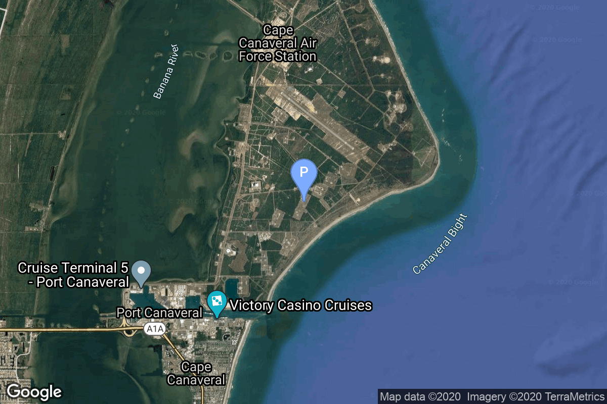
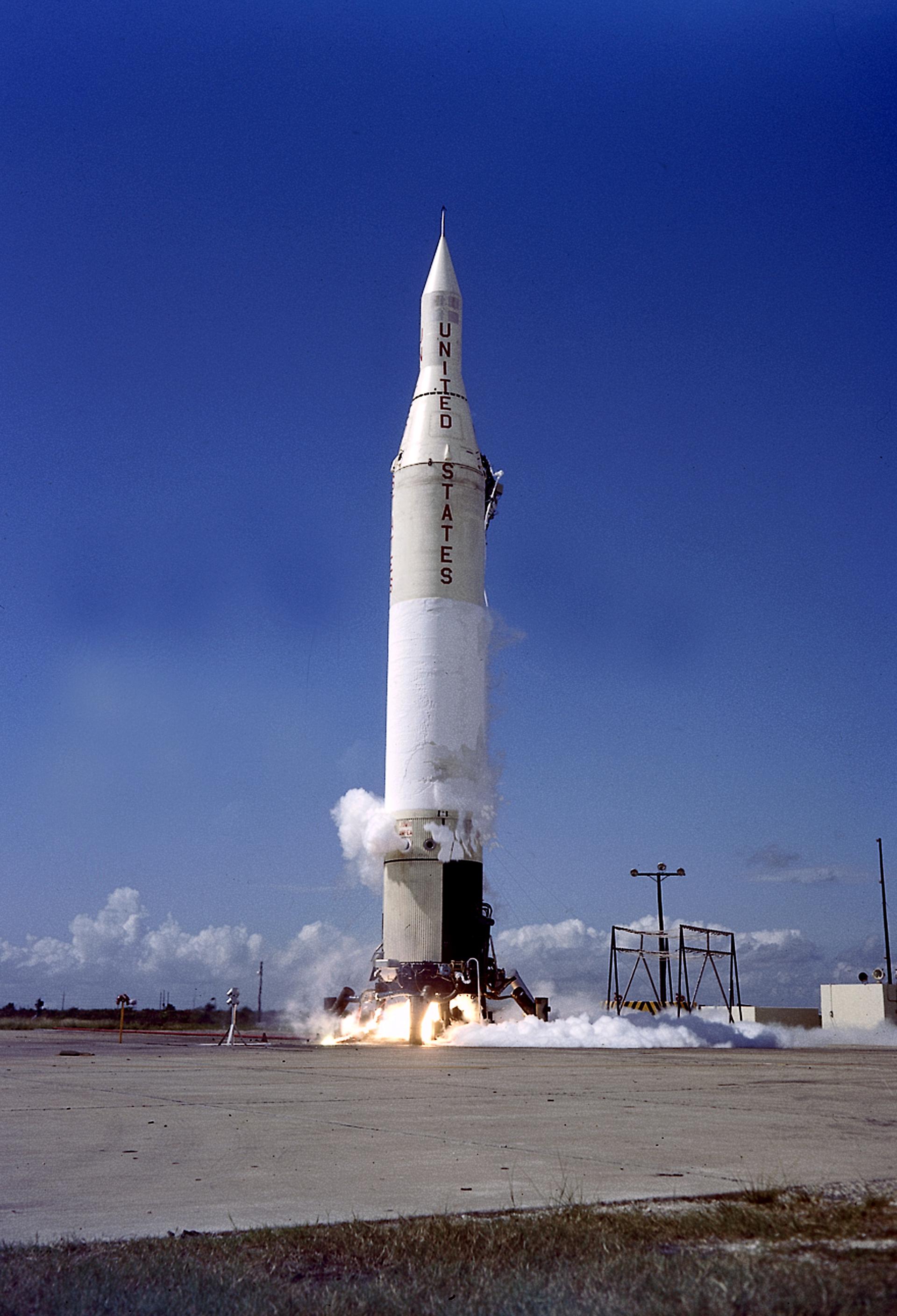
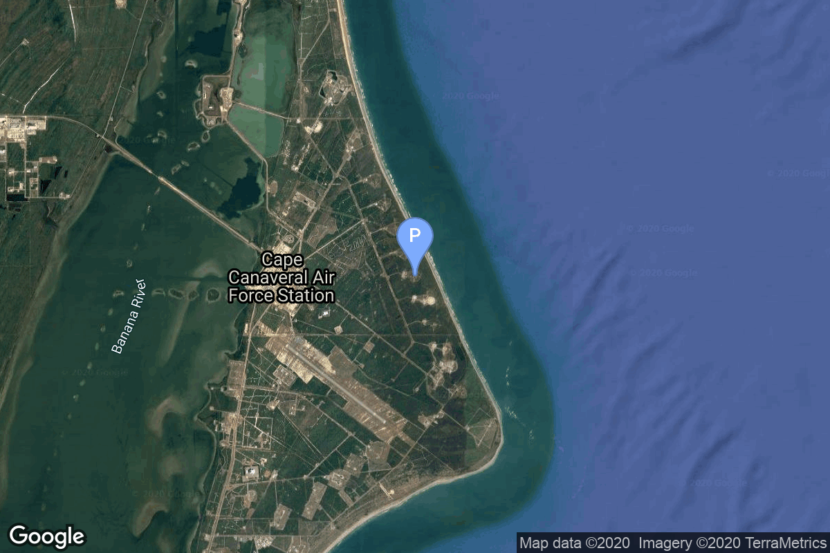
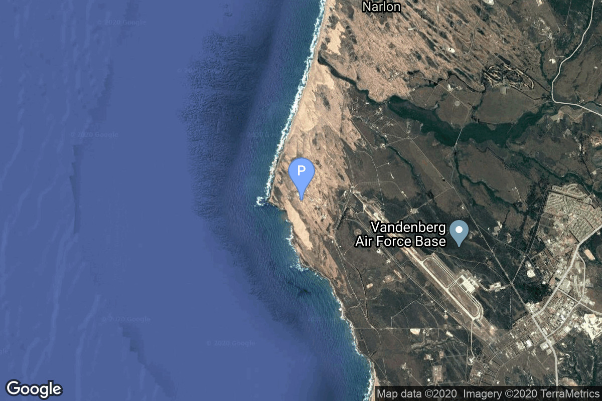
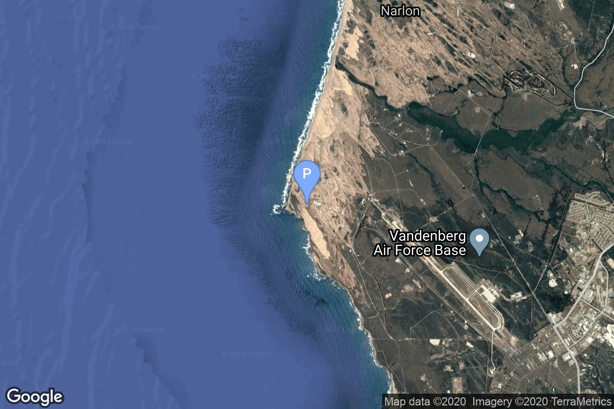
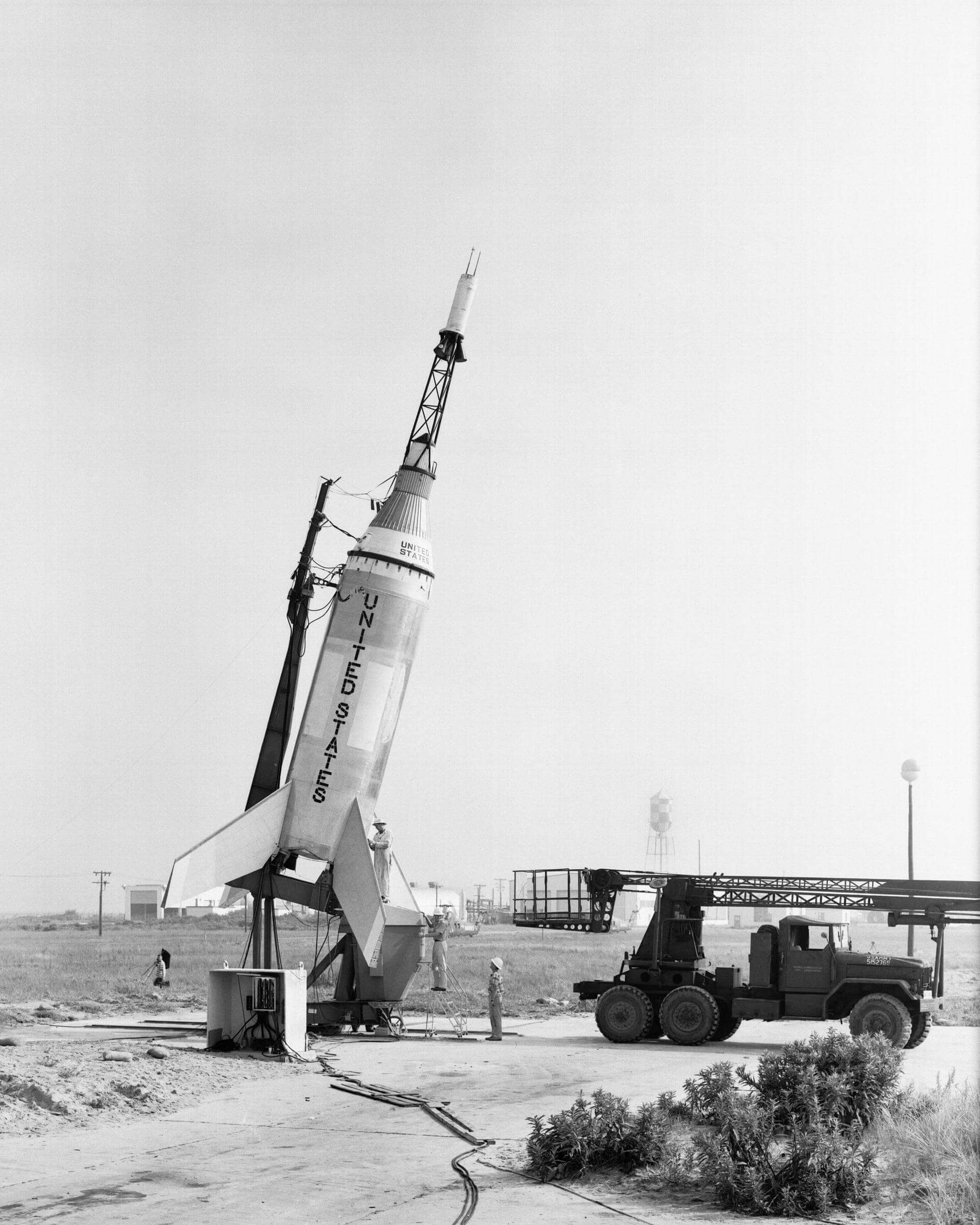
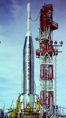
{ "count": 7486, "next": "https://ll.thespacedevs.com/2.0.0/launch/?format=api&limit=10&offset=7430&ordering=-net", "previous": "https://ll.thespacedevs.com/2.0.0/launch/?format=api&limit=10&offset=7410&ordering=-net", "results": [ { "id": "b5b8946b-8471-4fa2-b63f-d3aaf84607bb", "url": "https://ll.thespacedevs.com/2.0.0/launch/b5b8946b-8471-4fa2-b63f-d3aaf84607bb/?format=api", "launch_library_id": null, "slug": "thor-able-ii-tiros-1", "name": "Thor Able II | Tiros 1", "status": { "id": 3, "name": "Success" }, "net": "1960-04-01T11:40:09Z", "window_end": "1960-04-01T11:40:09Z", "window_start": "1960-04-01T11:40:09Z", "inhold": false, "tbdtime": false, "tbddate": false, "probability": null, "holdreason": "", "failreason": null, "hashtag": null, "launch_service_provider": { "id": 161, "url": "https://ll.thespacedevs.com/2.0.0/agencies/161/?format=api", "name": "United States Air Force", "type": "Government" }, "rocket": { "id": 3062, "configuration": { "id": 389, "launch_library_id": null, "url": "https://ll.thespacedevs.com/2.0.0/config/launcher/389/?format=api", "name": "Thor Able II", "family": "Thor", "full_name": "Thor Able II", "variant": "Able II" } }, "mission": { "id": 1484, "launch_library_id": null, "name": "Tiros 1", "description": "TIROS-1 was the first successful low-Earth orbital weather satellite, and the first of a series of Television Infrared Observation Satellites.", "launch_designator": null, "type": "Earth Science", "orbit": { "id": 8, "name": "Low Earth Orbit", "abbrev": "LEO" } }, "pad": { "id": 14, "url": "https://ll.thespacedevs.com/2.0.0/pad/14/?format=api", "agency_id": null, "name": "Space Launch Complex 17A", "info_url": null, "wiki_url": "https://en.wikipedia.org/wiki/Cape_Canaveral_Space_Launch_Complex_17", "map_url": "https://www.google.com/maps?q=28.4472,-80.565", "latitude": "28.4472", "longitude": "-80.565", "location": { "id": 12, "url": "https://ll.thespacedevs.com/2.0.0/location/12/?format=api", "name": "Cape Canaveral SFS, FL, USA", "country_code": "USA", "map_image": "https://thespacedevs-prod.nyc3.digitaloceanspaces.com/media/map_images/location_12_20200803142519.jpg", "total_launch_count": 1020, "total_landing_count": 64 }, "map_image": "https://thespacedevs-prod.nyc3.digitaloceanspaces.com/media/map_images/pad_14_20200803143451.jpg", "total_launch_count": 145 }, "webcast_live": false, "image": null, "infographic": null, "program": [] }, { "id": "1bbd65cc-7c3d-495b-b5ae-b8a5827460ea", "url": "https://ll.thespacedevs.com/2.0.0/launch/1bbd65cc-7c3d-495b-b5ae-b8a5827460ea/?format=api", "launch_library_id": null, "slug": "juno-ii-nasa-s-46", "name": "Juno II | NASA S-46", "status": { "id": 4, "name": "Failure" }, "net": "1960-03-23T13:35:11Z", "window_end": "1960-03-23T13:35:11Z", "window_start": "1960-03-23T13:35:11Z", "inhold": false, "tbdtime": false, "tbddate": false, "probability": null, "holdreason": "", "failreason": null, "hashtag": null, "launch_service_provider": { "id": 44, "url": "https://ll.thespacedevs.com/2.0.0/agencies/44/?format=api", "name": "National Aeronautics and Space Administration", "type": "Government" }, "rocket": { "id": 3061, "configuration": { "id": 188, "launch_library_id": 206, "url": "https://ll.thespacedevs.com/2.0.0/config/launcher/188/?format=api", "name": "Juno II", "family": "", "full_name": "Juno II", "variant": "" } }, "mission": { "id": 1483, "launch_library_id": null, "name": "NASA S-46", "description": "Explorer 5 was a United States satellite with a mass of 15.7 kg. It was the last of the original series of Explorers built, designed, and operated by the Jet Propulsion Laboratory.", "launch_designator": null, "type": "Earth Science", "orbit": { "id": 12, "name": "Medium Earth Orbit", "abbrev": "MEO" } }, "pad": { "id": 97, "url": "https://ll.thespacedevs.com/2.0.0/pad/97/?format=api", "agency_id": 161, "name": "Launch Complex 26B", "info_url": null, "wiki_url": "https://en.wikipedia.org/wiki/Cape_Canaveral_Air_Force_Station_Launch_Complex_26", "map_url": "https://www.google.com/maps?q=28.4433,-80.5712", "latitude": "28.4433", "longitude": "-80.5712", "location": { "id": 12, "url": "https://ll.thespacedevs.com/2.0.0/location/12/?format=api", "name": "Cape Canaveral SFS, FL, USA", "country_code": "USA", "map_image": "https://thespacedevs-prod.nyc3.digitaloceanspaces.com/media/map_images/location_12_20200803142519.jpg", "total_launch_count": 1020, "total_landing_count": 64 }, "map_image": "https://thespacedevs-prod.nyc3.digitaloceanspaces.com/media/map_images/pad_97_20200803143224.jpg", "total_launch_count": 6 }, "webcast_live": false, "image": "https://thespacedevs-prod.nyc3.digitaloceanspaces.com/media/images/juno2520ii_image_20191201204701.jpeg", "infographic": null, "program": [] }, { "id": "a80dd1f3-c3a2-40f6-a60a-97251eff576f", "url": "https://ll.thespacedevs.com/2.0.0/launch/a80dd1f3-c3a2-40f6-a60a-97251eff576f/?format=api", "launch_library_id": null, "slug": "thor-able-iv-pioneer-v", "name": "Thor Able IV | Pioneer V", "status": { "id": 3, "name": "Success" }, "net": "1960-03-11T13:00:07Z", "window_end": "1960-03-11T13:00:07Z", "window_start": "1960-03-11T13:00:07Z", "inhold": false, "tbdtime": false, "tbddate": false, "probability": null, "holdreason": "", "failreason": null, "hashtag": null, "launch_service_provider": { "id": 161, "url": "https://ll.thespacedevs.com/2.0.0/agencies/161/?format=api", "name": "United States Air Force", "type": "Government" }, "rocket": { "id": 3060, "configuration": { "id": 391, "launch_library_id": null, "url": "https://ll.thespacedevs.com/2.0.0/config/launcher/391/?format=api", "name": "Thor Able IV", "family": "Thor", "full_name": "Thor Able IV", "variant": "Able IV" } }, "mission": { "id": 1482, "launch_library_id": null, "name": "Pioneer V", "description": "Pioneer 5 was a spin-stabilized space probe in the NASA Pioneer program used to investigate interplanetary space between the orbits of Earth and Venus.", "launch_designator": null, "type": "Astrophysics", "orbit": { "id": 6, "name": "Heliocentric N/A", "abbrev": "Helio-N/A" } }, "pad": { "id": 14, "url": "https://ll.thespacedevs.com/2.0.0/pad/14/?format=api", "agency_id": null, "name": "Space Launch Complex 17A", "info_url": null, "wiki_url": "https://en.wikipedia.org/wiki/Cape_Canaveral_Space_Launch_Complex_17", "map_url": "https://www.google.com/maps?q=28.4472,-80.565", "latitude": "28.4472", "longitude": "-80.565", "location": { "id": 12, "url": "https://ll.thespacedevs.com/2.0.0/location/12/?format=api", "name": "Cape Canaveral SFS, FL, USA", "country_code": "USA", "map_image": "https://thespacedevs-prod.nyc3.digitaloceanspaces.com/media/map_images/location_12_20200803142519.jpg", "total_launch_count": 1020, "total_landing_count": 64 }, "map_image": "https://thespacedevs-prod.nyc3.digitaloceanspaces.com/media/map_images/pad_14_20200803143451.jpg", "total_launch_count": 145 }, "webcast_live": false, "image": null, "infographic": null, "program": [] }, { "id": "258a4774-b0f5-4775-9918-5a90ad60f008", "url": "https://ll.thespacedevs.com/2.0.0/launch/258a4774-b0f5-4775-9918-5a90ad60f008/?format=api", "launch_library_id": null, "slug": "atlas-agena-a-midas-1", "name": "Atlas Agena A | Midas 1", "status": { "id": 4, "name": "Failure" }, "net": "1960-02-26T17:25:30Z", "window_end": "1960-02-26T17:25:30Z", "window_start": "1960-02-26T17:25:30Z", "inhold": false, "tbdtime": false, "tbddate": false, "probability": null, "holdreason": "", "failreason": null, "hashtag": null, "launch_service_provider": { "id": 161, "url": "https://ll.thespacedevs.com/2.0.0/agencies/161/?format=api", "name": "United States Air Force", "type": "Government" }, "rocket": { "id": 3059, "configuration": { "id": 231, "launch_library_id": null, "url": "https://ll.thespacedevs.com/2.0.0/config/launcher/231/?format=api", "name": "Atlas Agena A", "family": "Atlas", "full_name": "Atlas LV-3 Agena A", "variant": "Agena A" } }, "mission": { "id": 1481, "launch_library_id": null, "name": "Midas 1", "description": "The MIDAS Series 1 (Military Defense Alarm System) satellites, MIDAS 1 and 2, were the first development models for the MIDAS early warning system.", "launch_designator": null, "type": "Government/Top Secret", "orbit": { "id": 8, "name": "Low Earth Orbit", "abbrev": "LEO" } }, "pad": { "id": 17, "url": "https://ll.thespacedevs.com/2.0.0/pad/17/?format=api", "agency_id": 1048, "name": "Space Launch Complex 14", "info_url": null, "wiki_url": "https://en.wikipedia.org/wiki/Cape_Canaveral_Air_Force_Station_Launch_Complex_14", "map_url": "https://www.google.com/maps?q=28.49103,-80.54687", "latitude": "28.49103", "longitude": "-80.54687", "location": { "id": 12, "url": "https://ll.thespacedevs.com/2.0.0/location/12/?format=api", "name": "Cape Canaveral SFS, FL, USA", "country_code": "USA", "map_image": "https://thespacedevs-prod.nyc3.digitaloceanspaces.com/media/map_images/location_12_20200803142519.jpg", "total_launch_count": 1020, "total_landing_count": 64 }, "map_image": "https://thespacedevs-prod.nyc3.digitaloceanspaces.com/media/map_images/pad_17_20200803143405.jpg", "total_launch_count": 20 }, "webcast_live": false, "image": null, "infographic": null, "program": [] }, { "id": "7484048e-747d-4f6a-86be-45585a63804d", "url": "https://ll.thespacedevs.com/2.0.0/launch/7484048e-747d-4f6a-86be-45585a63804d/?format=api", "launch_library_id": null, "slug": "thor-agena-a-discoverer-10", "name": "Thor Agena A | Discoverer 10", "status": { "id": 4, "name": "Failure" }, "net": "1960-02-19T20:15:14Z", "window_end": "1960-02-19T20:15:14Z", "window_start": "1960-02-19T20:15:14Z", "inhold": false, "tbdtime": false, "tbddate": false, "probability": null, "holdreason": "", "failreason": null, "hashtag": null, "launch_service_provider": { "id": 161, "url": "https://ll.thespacedevs.com/2.0.0/agencies/161/?format=api", "name": "United States Air Force", "type": "Government" }, "rocket": { "id": 3058, "configuration": { "id": 392, "launch_library_id": null, "url": "https://ll.thespacedevs.com/2.0.0/config/launcher/392/?format=api", "name": "Thor Agena A", "family": "Thor", "full_name": "Thor Agena A", "variant": "Agena A" } }, "mission": { "id": 1480, "launch_library_id": null, "name": "Discoverer 10", "description": "Discoverer 10 was an American optical reconnaissance satellite, the seventh of ten operational flights of the Corona KH-1 spy satellite series.", "launch_designator": null, "type": "Government/Top Secret", "orbit": { "id": 8, "name": "Low Earth Orbit", "abbrev": "LEO" } }, "pad": { "id": 96, "url": "https://ll.thespacedevs.com/2.0.0/pad/96/?format=api", "agency_id": 161, "name": "Space Launch Complex 1E", "info_url": null, "wiki_url": "https://en.wikipedia.org/wiki/Vandenberg_Space_Launch_Complex_1", "map_url": "https://www.google.com/maps?q=34.756,-120.6263", "latitude": "34.756", "longitude": "-120.6263", "location": { "id": 11, "url": "https://ll.thespacedevs.com/2.0.0/location/11/?format=api", "name": "Vandenberg SFB, CA, USA", "country_code": "USA", "map_image": "https://thespacedevs-prod.nyc3.digitaloceanspaces.com/media/map_images/location_11_20200803142416.jpg", "total_launch_count": 804, "total_landing_count": 26 }, "map_image": "https://thespacedevs-prod.nyc3.digitaloceanspaces.com/media/map_images/pad_96_20200803143221.jpg", "total_launch_count": 45 }, "webcast_live": false, "image": null, "infographic": null, "program": [] }, { "id": "05c21203-d2e5-4932-8376-f996301d1510", "url": "https://ll.thespacedevs.com/2.0.0/launch/05c21203-d2e5-4932-8376-f996301d1510/?format=api", "launch_library_id": null, "slug": "thor-agena-a-discoverer-9", "name": "Thor Agena A | Discoverer 9", "status": { "id": 4, "name": "Failure" }, "net": "1960-02-04T18:51:45Z", "window_end": "1960-02-04T18:51:45Z", "window_start": "1960-02-04T18:51:45Z", "inhold": false, "tbdtime": false, "tbddate": false, "probability": null, "holdreason": "", "failreason": null, "hashtag": null, "launch_service_provider": { "id": 161, "url": "https://ll.thespacedevs.com/2.0.0/agencies/161/?format=api", "name": "United States Air Force", "type": "Government" }, "rocket": { "id": 3057, "configuration": { "id": 392, "launch_library_id": null, "url": "https://ll.thespacedevs.com/2.0.0/config/launcher/392/?format=api", "name": "Thor Agena A", "family": "Thor", "full_name": "Thor Agena A", "variant": "Agena A" } }, "mission": { "id": 1479, "launch_library_id": null, "name": "Discoverer 9", "description": "Discoverer 9 was an American optical reconnaissance satellite, the sixth of ten operational flights of the Corona KH-1 spy satellite series, and the first of them to be equipped with a new, vacuum-proof, polyester-based film. The satellite was not successfully orbited.", "launch_designator": null, "type": "Government/Top Secret", "orbit": { "id": 8, "name": "Low Earth Orbit", "abbrev": "LEO" } }, "pad": { "id": 95, "url": "https://ll.thespacedevs.com/2.0.0/pad/95/?format=api", "agency_id": 161, "name": "Space Launch Complex 1W", "info_url": null, "wiki_url": "https://en.wikipedia.org/wiki/Vandenberg_Space_Launch_Complex_1", "map_url": "https://www.google.com/maps?q=34.7572,-120.6303", "latitude": "34.7572", "longitude": "-120.6303", "location": { "id": 11, "url": "https://ll.thespacedevs.com/2.0.0/location/11/?format=api", "name": "Vandenberg SFB, CA, USA", "country_code": "USA", "map_image": "https://thespacedevs-prod.nyc3.digitaloceanspaces.com/media/map_images/location_11_20200803142416.jpg", "total_launch_count": 804, "total_landing_count": 26 }, "map_image": "https://thespacedevs-prod.nyc3.digitaloceanspaces.com/media/map_images/pad_95_20200803143209.jpg", "total_launch_count": 56 }, "webcast_live": false, "image": null, "infographic": null, "program": [] }, { "id": "215ecfa3-d465-4e3e-a0d2-3312ffd4e35b", "url": "https://ll.thespacedevs.com/2.0.0/launch/215ecfa3-d465-4e3e-a0d2-3312ffd4e35b/?format=api", "launch_library_id": null, "slug": "little-joe-lj-1b", "name": "Little Joe | LJ-1B", "status": { "id": 3, "name": "Success" }, "net": "1960-01-21T14:23:00Z", "window_end": "1960-01-21T14:23:00Z", "window_start": "1960-01-21T14:23:00Z", "inhold": false, "tbdtime": false, "tbddate": false, "probability": null, "holdreason": "", "failreason": "", "hashtag": null, "launch_service_provider": { "id": 44, "url": "https://ll.thespacedevs.com/2.0.0/agencies/44/?format=api", "name": "National Aeronautics and Space Administration", "type": "Government" }, "rocket": { "id": 7433, "configuration": { "id": 473, "launch_library_id": null, "url": "https://ll.thespacedevs.com/2.0.0/config/launcher/473/?format=api", "name": "Little Joe", "family": "Little Joe", "full_name": "Little Joe", "variant": "" } }, "mission": { "id": 5822, "launch_library_id": null, "name": "LJ-1B", "description": "The Little Joe 1B was a suborbital launch escape system test of the Mercury spacecraft, conducted as part of the U.S. Mercury program. The mission also carried a female rhesus monkey (Macaca mulatta) named Miss Sam in the Mercury spacecraft.", "launch_designator": null, "type": "Test Flight", "orbit": { "id": 15, "name": "Suborbital", "abbrev": "Sub" } }, "pad": { "id": 195, "url": "https://ll.thespacedevs.com/2.0.0/pad/195/?format=api", "agency_id": 44, "name": "Launch Area 1", "info_url": null, "wiki_url": "https://en.wikipedia.org/wiki/Wallops_Flight_Facility", "map_url": "https://www.google.com/maps?q=37.938611,-75.457222", "latitude": "37.938611", "longitude": "-75.457222", "location": { "id": 21, "url": "https://ll.thespacedevs.com/2.0.0/location/21/?format=api", "name": "Wallops Flight Facility, Virginia, USA", "country_code": "USA", "map_image": "https://thespacedevs-prod.nyc3.digitaloceanspaces.com/media/map_images/location_21_20200803142423.jpg", "total_launch_count": 80, "total_landing_count": 0 }, "map_image": "https://thespacedevs-prod.nyc3.digitaloceanspaces.com/media/map_images/pad_launch_area_1_20210901085625.jpg", "total_launch_count": 7 }, "webcast_live": false, "image": "https://thespacedevs-prod.nyc3.digitaloceanspaces.com/media/images/little_joe_image_20210901081353.jpeg", "infographic": null, "program": [ { "id": 2, "url": "https://ll.thespacedevs.com/2.0.0/program/2/?format=api", "name": "Mercury", "description": "Project Mercury was the first human spaceflight program of the United States, running from 1958 through 1963.", "agencies": [ { "id": 44, "url": "https://ll.thespacedevs.com/2.0.0/agencies/44/?format=api", "name": "National Aeronautics and Space Administration", "type": "Government" } ], "image_url": "https://thespacedevs-prod.nyc3.digitaloceanspaces.com/media/images/project2520mer_program_20200820194755.png", "start_date": "1958-10-07T00:00:00Z", "end_date": "1963-05-16T23:24:02Z", "info_url": "https://www.nasa.gov/mission_pages/mercury/missions/program-toc.html", "wiki_url": "https://en.wikipedia.org/wiki/Project_Mercury" } ] }, { "id": "89a42fc2-2d31-4c82-857a-c110a438d429", "url": "https://ll.thespacedevs.com/2.0.0/launch/89a42fc2-2d31-4c82-857a-c110a438d429/?format=api", "launch_library_id": null, "slug": "little-joe-lj-2", "name": "Little Joe | LJ-2", "status": { "id": 3, "name": "Success" }, "net": "1959-12-04T16:20:00Z", "window_end": "1959-12-04T16:20:00Z", "window_start": "1959-12-04T16:20:00Z", "inhold": false, "tbdtime": false, "tbddate": false, "probability": null, "holdreason": "", "failreason": "", "hashtag": null, "launch_service_provider": { "id": 44, "url": "https://ll.thespacedevs.com/2.0.0/agencies/44/?format=api", "name": "National Aeronautics and Space Administration", "type": "Government" }, "rocket": { "id": 7432, "configuration": { "id": 473, "launch_library_id": null, "url": "https://ll.thespacedevs.com/2.0.0/config/launcher/473/?format=api", "name": "Little Joe", "family": "Little Joe", "full_name": "Little Joe", "variant": "" } }, "mission": { "id": 5821, "launch_library_id": null, "name": "LJ-2", "description": "The Little Joe 2 was a suborbital test flight of the Mercury space capsule, carrying the rhesus monkey Sam close to the edge of space. He was sent to test the space equipment and the adverse effects of space on humans.", "launch_designator": null, "type": "Test Flight", "orbit": { "id": 15, "name": "Suborbital", "abbrev": "Sub" } }, "pad": { "id": 195, "url": "https://ll.thespacedevs.com/2.0.0/pad/195/?format=api", "agency_id": 44, "name": "Launch Area 1", "info_url": null, "wiki_url": "https://en.wikipedia.org/wiki/Wallops_Flight_Facility", "map_url": "https://www.google.com/maps?q=37.938611,-75.457222", "latitude": "37.938611", "longitude": "-75.457222", "location": { "id": 21, "url": "https://ll.thespacedevs.com/2.0.0/location/21/?format=api", "name": "Wallops Flight Facility, Virginia, USA", "country_code": "USA", "map_image": "https://thespacedevs-prod.nyc3.digitaloceanspaces.com/media/map_images/location_21_20200803142423.jpg", "total_launch_count": 80, "total_landing_count": 0 }, "map_image": "https://thespacedevs-prod.nyc3.digitaloceanspaces.com/media/map_images/pad_launch_area_1_20210901085625.jpg", "total_launch_count": 7 }, "webcast_live": false, "image": "https://thespacedevs-prod.nyc3.digitaloceanspaces.com/media/images/little_joe_image_20210901081353.jpeg", "infographic": null, "program": [ { "id": 2, "url": "https://ll.thespacedevs.com/2.0.0/program/2/?format=api", "name": "Mercury", "description": "Project Mercury was the first human spaceflight program of the United States, running from 1958 through 1963.", "agencies": [ { "id": 44, "url": "https://ll.thespacedevs.com/2.0.0/agencies/44/?format=api", "name": "National Aeronautics and Space Administration", "type": "Government" } ], "image_url": "https://thespacedevs-prod.nyc3.digitaloceanspaces.com/media/images/project2520mer_program_20200820194755.png", "start_date": "1958-10-07T00:00:00Z", "end_date": "1963-05-16T23:24:02Z", "info_url": "https://www.nasa.gov/mission_pages/mercury/missions/program-toc.html", "wiki_url": "https://en.wikipedia.org/wiki/Project_Mercury" } ] }, { "id": "f889bd5e-6cf9-4189-9912-d978a6f7b0fe", "url": "https://ll.thespacedevs.com/2.0.0/launch/f889bd5e-6cf9-4189-9912-d978a6f7b0fe/?format=api", "launch_library_id": null, "slug": "atlas-able-p-3", "name": "Atlas-Able | P-3", "status": { "id": 4, "name": "Failure" }, "net": "1959-11-26T07:26:00Z", "window_end": "1959-11-26T07:26:00Z", "window_start": "1959-11-26T07:26:00Z", "inhold": false, "tbdtime": false, "tbddate": false, "probability": null, "holdreason": "", "failreason": null, "hashtag": null, "launch_service_provider": { "id": 161, "url": "https://ll.thespacedevs.com/2.0.0/agencies/161/?format=api", "name": "United States Air Force", "type": "Government" }, "rocket": { "id": 3056, "configuration": { "id": 230, "launch_library_id": null, "url": "https://ll.thespacedevs.com/2.0.0/config/launcher/230/?format=api", "name": "Atlas-Able", "family": "Atlas", "full_name": "Atlas-Able", "variant": "" } }, "mission": { "id": 1478, "launch_library_id": null, "name": "P-3", "description": "The Pioneer P-1, -3, -30 and -31 series was intended to be a lunar orbiter probe, but the mission failed shortly after launch. The objectives were to place a highly instrumented probe in lunar orbit, to investigate the environment between the Earth and Moon, and to develop technology for controlling and maneuvering spacecraft from Earth.", "launch_designator": null, "type": "Lunar Exploration", "orbit": { "id": 11, "name": "Lunar Orbit", "abbrev": "LO" } }, "pad": { "id": 17, "url": "https://ll.thespacedevs.com/2.0.0/pad/17/?format=api", "agency_id": 1048, "name": "Space Launch Complex 14", "info_url": null, "wiki_url": "https://en.wikipedia.org/wiki/Cape_Canaveral_Air_Force_Station_Launch_Complex_14", "map_url": "https://www.google.com/maps?q=28.49103,-80.54687", "latitude": "28.49103", "longitude": "-80.54687", "location": { "id": 12, "url": "https://ll.thespacedevs.com/2.0.0/location/12/?format=api", "name": "Cape Canaveral SFS, FL, USA", "country_code": "USA", "map_image": "https://thespacedevs-prod.nyc3.digitaloceanspaces.com/media/map_images/location_12_20200803142519.jpg", "total_launch_count": 1020, "total_landing_count": 64 }, "map_image": "https://thespacedevs-prod.nyc3.digitaloceanspaces.com/media/map_images/pad_17_20200803143405.jpg", "total_launch_count": 20 }, "webcast_live": false, "image": "https://thespacedevs-prod.nyc3.digitaloceanspaces.com/media/images/atlas-d_able_on_image_20240411161010.jpeg", "infographic": null, "program": [] }, { "id": "ba311200-30df-44dd-879e-c4fecbc2dcb1", "url": "https://ll.thespacedevs.com/2.0.0/launch/ba311200-30df-44dd-879e-c4fecbc2dcb1/?format=api", "launch_library_id": null, "slug": "thor-agena-a-discoverer-8", "name": "Thor Agena A | Discoverer 8", "status": { "id": 3, "name": "Success" }, "net": "1959-11-20T19:25:24Z", "window_end": "1959-11-20T19:25:24Z", "window_start": "1959-11-20T19:25:24Z", "inhold": false, "tbdtime": false, "tbddate": false, "probability": null, "holdreason": "", "failreason": null, "hashtag": null, "launch_service_provider": { "id": 161, "url": "https://ll.thespacedevs.com/2.0.0/agencies/161/?format=api", "name": "United States Air Force", "type": "Government" }, "rocket": { "id": 3055, "configuration": { "id": 392, "launch_library_id": null, "url": "https://ll.thespacedevs.com/2.0.0/config/launcher/392/?format=api", "name": "Thor Agena A", "family": "Thor", "full_name": "Thor Agena A", "variant": "Agena A" } }, "mission": { "id": 1477, "launch_library_id": null, "name": "Discoverer 8", "description": "The KH-1 (Keyhole-1) was the first attempt in the Corona-program to build an optical reconnaissance satellite. These satellites were all launched under the name Discoverer.", "launch_designator": null, "type": "Government/Top Secret", "orbit": { "id": 8, "name": "Low Earth Orbit", "abbrev": "LEO" } }, "pad": { "id": 96, "url": "https://ll.thespacedevs.com/2.0.0/pad/96/?format=api", "agency_id": 161, "name": "Space Launch Complex 1E", "info_url": null, "wiki_url": "https://en.wikipedia.org/wiki/Vandenberg_Space_Launch_Complex_1", "map_url": "https://www.google.com/maps?q=34.756,-120.6263", "latitude": "34.756", "longitude": "-120.6263", "location": { "id": 11, "url": "https://ll.thespacedevs.com/2.0.0/location/11/?format=api", "name": "Vandenberg SFB, CA, USA", "country_code": "USA", "map_image": "https://thespacedevs-prod.nyc3.digitaloceanspaces.com/media/map_images/location_11_20200803142416.jpg", "total_launch_count": 804, "total_landing_count": 26 }, "map_image": "https://thespacedevs-prod.nyc3.digitaloceanspaces.com/media/map_images/pad_96_20200803143221.jpg", "total_launch_count": 45 }, "webcast_live": false, "image": null, "infographic": null, "program": [] } ] }