Launch List
API endpoint that returns all Launch objects or a single launch.
EXAMPLE - /launch/
GET: Return a list of all Launch objects.
FILTERS: Fields - 'name', 'id(s)', 'lsp_id', 'lsp_name', 'serial_number', 'launcher_config__id', 'rocket__spacecraftflight__spacecraft__name'
MODE: 'normal', 'list', 'detailed' EXAMPLE: ?mode=list
SEARCH: Searches through the launch name, rocket name, launch agency, mission name & spacecraft name. EXAMPLE - ?search=SpaceX
GET /2.0.0/launch/?format=api&offset=7400&ordering=-id
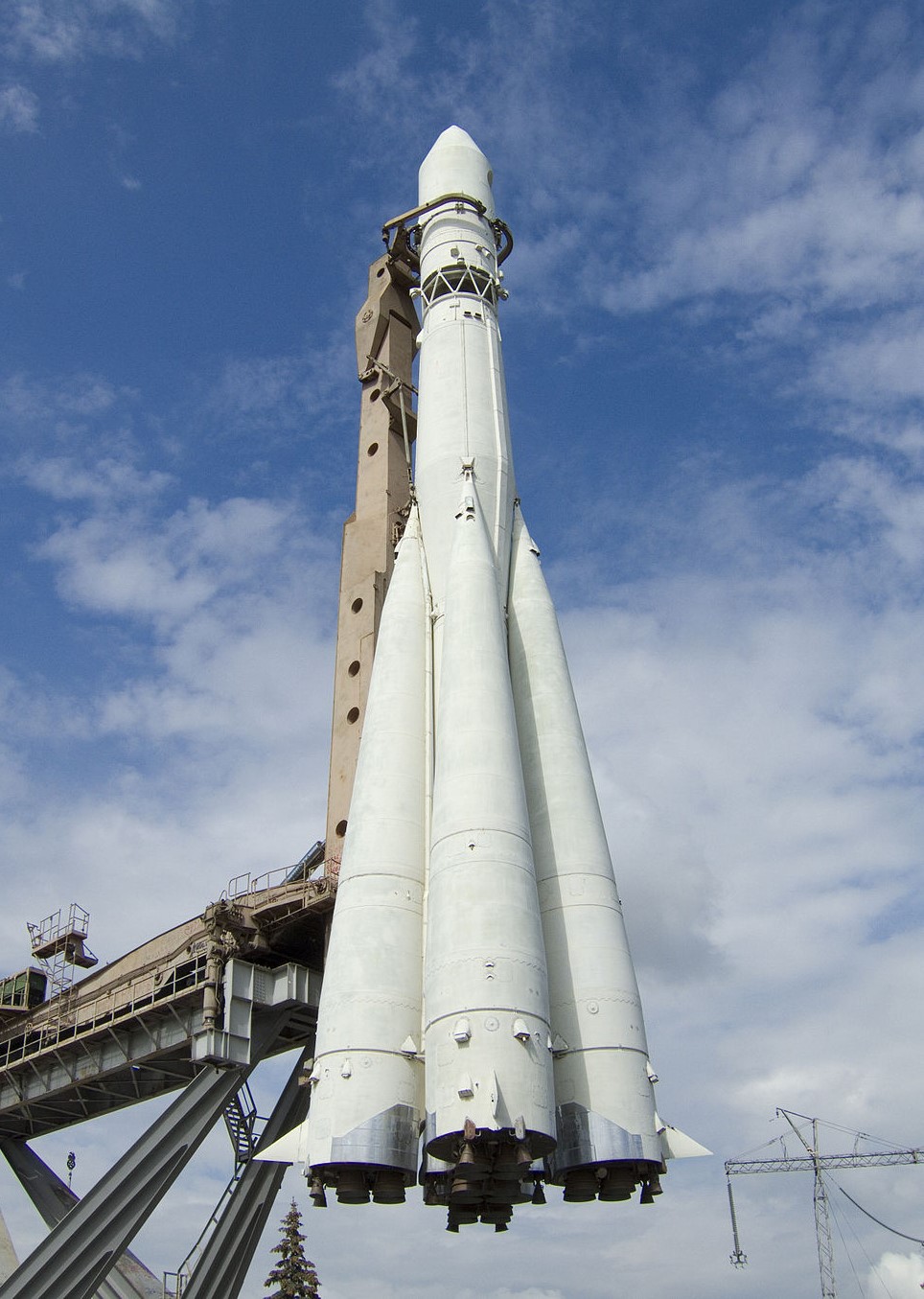
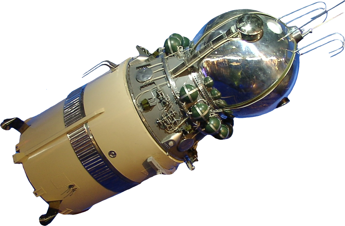
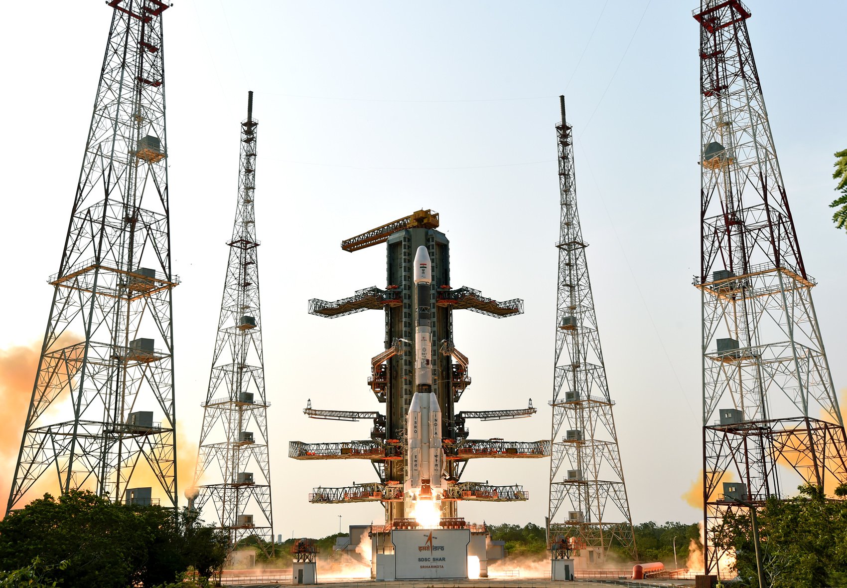
{ "count": 7795, "next": "https://ll.thespacedevs.com/2.0.0/launch/?format=api&limit=10&offset=7410&ordering=-id", "previous": "https://ll.thespacedevs.com/2.0.0/launch/?format=api&limit=10&offset=7390&ordering=-id", "results": [ { "id": "0d0acc45-bcf8-4d06-8093-be999f9233ba", "url": "https://ll.thespacedevs.com/2.0.0/launch/0d0acc45-bcf8-4d06-8093-be999f9233ba/?format=api", "launch_library_id": 1020, "slug": "vostok-k-vostok-5", "name": "Vostok-K | Vostok 5", "status": { "id": 3, "name": "Success" }, "net": "1963-06-14T11:58:58Z", "window_end": "1963-06-14T11:58:58Z", "window_start": "1963-06-14T11:58:58Z", "inhold": false, "tbdtime": false, "tbddate": false, "probability": null, "holdreason": "", "failreason": null, "hashtag": null, "launch_service_provider": { "id": 66, "url": "https://ll.thespacedevs.com/2.0.0/agencies/66/?format=api", "name": "Soviet Space Program", "type": "Government" }, "rocket": { "id": 197, "configuration": { "id": 103, "launch_library_id": 139, "url": "https://ll.thespacedevs.com/2.0.0/config/launcher/103/?format=api", "name": "Vostok", "family": "R-7", "full_name": "Vostok-K", "variant": "K" } }, "mission": { "id": 159, "launch_library_id": 248, "name": "Vostok 5", "description": "Vostok 5 was a joint mission with Vostok 6 which launched two days after Vostok 5. The capsule was piloted by Cosmonaut Valery Bykovsky. The mission was intended to last 8 days, but the capsule returned to Earth just after 5 due to a lower then intended orbit and solar flare activity. The mission began on 14 June 1963, 11:58:58 UTC and ended on 19 June 1963, 11:06 UTC.", "launch_designator": null, "type": "Human Exploration", "orbit": { "id": 8, "name": "Low Earth Orbit", "abbrev": "LEO" } }, "pad": { "id": 32, "url": "https://ll.thespacedevs.com/2.0.0/pad/32/?format=api", "agency_id": null, "name": "1/5", "info_url": null, "wiki_url": "", "map_url": "https://www.google.com/maps?q=45.92,63.342", "latitude": "45.92", "longitude": "63.342", "location": { "id": 15, "url": "https://ll.thespacedevs.com/2.0.0/location/15/?format=api", "name": "Baikonur Cosmodrome, Republic of Kazakhstan", "country_code": "KAZ", "map_image": "https://thespacedevs-prod.nyc3.digitaloceanspaces.com/media/map_images/location_15_20200803142517.jpg", "total_launch_count": 1560, "total_landing_count": 0 }, "map_image": "https://thespacedevs-prod.nyc3.digitaloceanspaces.com/media/map_images/pad_32_20200803143513.jpg", "total_launch_count": 487 }, "webcast_live": false, "image": "https://thespacedevs-prod.nyc3.digitaloceanspaces.com/media/images/vostok_image_20191104130128.jpg", "infographic": null, "program": [ { "id": 9, "url": "https://ll.thespacedevs.com/2.0.0/program/9/?format=api", "name": "Vostok", "description": "The Vostok programme was a Soviet human spaceflight project to put the first Soviet citizens into low Earth orbit and return them safely. Competing with the United States Project Mercury, it succeeded in placing the first human into space, Yuri Gagarin, in a single orbit in Vostok 1 on April 12, 1961.", "agencies": [ { "id": 66, "url": "https://ll.thespacedevs.com/2.0.0/agencies/66/?format=api", "name": "Soviet Space Program", "type": "Government" } ], "image_url": "https://thespacedevs-prod.nyc3.digitaloceanspaces.com/media/images/vostok_program_20210417063956.png", "start_date": "1961-04-12T06:07:00Z", "end_date": "1963-06-19T08:20:00Z", "info_url": null, "wiki_url": "https://en.wikipedia.org/wiki/Vostok_programme" } ] }, { "id": "0cf92611-82a8-4095-a0b4-dda2e74b1fff", "url": "https://ll.thespacedevs.com/2.0.0/launch/0cf92611-82a8-4095-a0b4-dda2e74b1fff/?format=api", "launch_library_id": 1881, "slug": "gslv-mk-ii-gsat-32", "name": "GSLV Mk II | GSAT-32", "status": { "id": 2, "name": "TBD" }, "net": "2026-03-31T00:00:00Z", "window_end": "2026-03-31T00:00:00Z", "window_start": "2026-03-31T00:00:00Z", "inhold": false, "tbdtime": true, "tbddate": true, "probability": null, "holdreason": "", "failreason": "", "hashtag": null, "launch_service_provider": { "id": 31, "url": "https://ll.thespacedevs.com/2.0.0/agencies/31/?format=api", "name": "Indian Space Research Organization", "type": "Government" }, "rocket": { "id": 2660, "configuration": { "id": 168, "launch_library_id": 60, "url": "https://ll.thespacedevs.com/2.0.0/config/launcher/168/?format=api", "name": "GSLV Mk II", "family": "GSLV", "full_name": "GSLV Mk. II", "variant": "" } }, "mission": null, "pad": { "id": 82, "url": "https://ll.thespacedevs.com/2.0.0/pad/82/?format=api", "agency_id": 31, "name": "Satish Dhawan Space Centre Second Launch Pad", "info_url": null, "wiki_url": "https://en.wikipedia.org/wiki/Satish_Dhawan_Space_Centre_Second_Launch_Pad", "map_url": "https://www.google.com/maps?q=13.7199,80.2304", "latitude": "13.7199", "longitude": "80.2304", "location": { "id": 14, "url": "https://ll.thespacedevs.com/2.0.0/location/14/?format=api", "name": "Satish Dhawan Space Centre, India", "country_code": "IND", "map_image": "https://thespacedevs-prod.nyc3.digitaloceanspaces.com/media/map_images/location_14_20200803142403.jpg", "total_launch_count": 103, "total_landing_count": 0 }, "map_image": "https://thespacedevs-prod.nyc3.digitaloceanspaces.com/media/map_images/pad_82_20200803143602.jpg", "total_launch_count": 32 }, "webcast_live": false, "image": "https://thespacedevs-prod.nyc3.digitaloceanspaces.com/media/images/gslv2520mk2520ii_image_20190825171642.jpg", "infographic": null, "program": [] }, { "id": "0cf59bbd-ec5d-43ac-96da-8f6954961664", "url": "https://ll.thespacedevs.com/2.0.0/launch/0cf59bbd-ec5d-43ac-96da-8f6954961664/?format=api", "launch_library_id": null, "slug": "soyuz-u-pvb-resurs-f-9", "name": "Soyuz-U-PVB | Resurs-F 9", "status": { "id": 3, "name": "Success" }, "net": "1990-09-07T11:59:59Z", "window_end": "1990-09-07T11:59:59Z", "window_start": "1990-09-07T11:59:59Z", "inhold": false, "tbdtime": false, "tbddate": false, "probability": null, "holdreason": "", "failreason": null, "hashtag": null, "launch_service_provider": { "id": 66, "url": "https://ll.thespacedevs.com/2.0.0/agencies/66/?format=api", "name": "Soviet Space Program", "type": "Government" }, "rocket": { "id": 6308, "configuration": { "id": 378, "launch_library_id": null, "url": "https://ll.thespacedevs.com/2.0.0/config/launcher/378/?format=api", "name": "Soyuz-U-PVB", "family": "Soyuz", "full_name": "Soyuz-U-PVB", "variant": "U-PVB" } }, "mission": { "id": 4698, "launch_library_id": null, "name": "Resurs-F 9", "description": "Film-return Earth observation satellite", "launch_designator": null, "type": "Earth Science", "orbit": { "id": 8, "name": "Low Earth Orbit", "abbrev": "LEO" } }, "pad": { "id": 35, "url": "https://ll.thespacedevs.com/2.0.0/pad/35/?format=api", "agency_id": 163, "name": "16/2", "info_url": null, "wiki_url": "", "map_url": "https://www.google.com/maps?q=62.960091,40.682983", "latitude": "62.960091", "longitude": "40.682983", "location": { "id": 6, "url": "https://ll.thespacedevs.com/2.0.0/location/6/?format=api", "name": "Plesetsk Cosmodrome, Russian Federation", "country_code": "RUS", "map_image": "https://thespacedevs-prod.nyc3.digitaloceanspaces.com/media/map_images/location_6_20200803142434.jpg", "total_launch_count": 1681, "total_landing_count": 0 }, "map_image": "https://thespacedevs-prod.nyc3.digitaloceanspaces.com/media/map_images/pad_35_20200803143306.jpg", "total_launch_count": 136 }, "webcast_live": false, "image": "https://thespacedevs-prod.nyc3.digitaloceanspaces.com/media/images/soyuz-u_image_20191229074852.jpg", "infographic": null, "program": [] }, { "id": "0cf1771e-439c-4459-9f84-8d8ecfb2eae9", "url": "https://ll.thespacedevs.com/2.0.0/launch/0cf1771e-439c-4459-9f84-8d8ecfb2eae9/?format=api", "launch_library_id": null, "slug": "tsiklon-2-us-p-34", "name": "Tsiklon-2 | US-P 34", "status": { "id": 3, "name": "Success" }, "net": "1990-08-23T16:17:00Z", "window_end": "1990-08-23T16:17:00Z", "window_start": "1990-08-23T16:17:00Z", "inhold": false, "tbdtime": false, "tbddate": false, "probability": null, "holdreason": "", "failreason": null, "hashtag": null, "launch_service_provider": { "id": 66, "url": "https://ll.thespacedevs.com/2.0.0/agencies/66/?format=api", "name": "Soviet Space Program", "type": "Government" }, "rocket": { "id": 6301, "configuration": { "id": 443, "launch_library_id": null, "url": "https://ll.thespacedevs.com/2.0.0/config/launcher/443/?format=api", "name": "Tsiklon-2", "family": "Tsiklon", "full_name": "Tsiklon-2", "variant": "2" } }, "mission": { "id": 4691, "launch_library_id": null, "name": "US-P 34", "description": "Ocean surveillance satellite using passive ELINT devices", "launch_designator": null, "type": "Government/Top Secret", "orbit": { "id": 8, "name": "Low Earth Orbit", "abbrev": "LEO" } }, "pad": { "id": 132, "url": "https://ll.thespacedevs.com/2.0.0/pad/132/?format=api", "agency_id": null, "name": "90", "info_url": null, "wiki_url": "https://en.wikipedia.org/wiki/Baikonur_Cosmodrome_Site_90", "map_url": "https://www.google.com/maps?q=46.081,62.929806", "latitude": "46.081", "longitude": "62.929806", "location": { "id": 15, "url": "https://ll.thespacedevs.com/2.0.0/location/15/?format=api", "name": "Baikonur Cosmodrome, Republic of Kazakhstan", "country_code": "KAZ", "map_image": "https://thespacedevs-prod.nyc3.digitaloceanspaces.com/media/map_images/location_15_20200803142517.jpg", "total_launch_count": 1560, "total_landing_count": 0 }, "map_image": "https://thespacedevs-prod.nyc3.digitaloceanspaces.com/media/map_images/pad_132_20200803143344.jpg", "total_launch_count": 74 }, "webcast_live": false, "image": "https://thespacedevs-prod.nyc3.digitaloceanspaces.com/media/images/tsyklon-2_lifto_image_20240411113159.jpg", "infographic": null, "program": [] }, { "id": "0ceb26c9-5dde-48ca-9a9e-4b9d9b6c8f0b", "url": "https://ll.thespacedevs.com/2.0.0/launch/0ceb26c9-5dde-48ca-9a9e-4b9d9b6c8f0b/?format=api", "launch_library_id": null, "slug": "vega-c-formosat-8c", "name": "Vega-C | FORMOSAT-8C", "status": { "id": 2, "name": "TBD" }, "net": "2027-12-31T00:00:00Z", "window_end": "2027-12-31T00:00:00Z", "window_start": "2027-12-31T00:00:00Z", "inhold": false, "tbdtime": true, "tbddate": true, "probability": null, "holdreason": "", "failreason": "", "hashtag": null, "launch_service_provider": { "id": 159, "url": "https://ll.thespacedevs.com/2.0.0/agencies/159/?format=api", "name": "Avio S.p.A", "type": "Commercial" }, "rocket": { "id": 8864, "configuration": { "id": 127, "launch_library_id": 163, "url": "https://ll.thespacedevs.com/2.0.0/config/launcher/127/?format=api", "name": "Vega-C", "family": "Vega", "full_name": "Vega-C", "variant": "" } }, "mission": { "id": 7455, "launch_library_id": null, "name": "FORMOSAT-8C", "description": "High-resolution optical Earth observation satellite.", "launch_designator": null, "type": "Earth Science", "orbit": { "id": 17, "name": "Sun-Synchronous Orbit", "abbrev": "SSO" } }, "pad": { "id": 34, "url": "https://ll.thespacedevs.com/2.0.0/pad/34/?format=api", "agency_id": 115, "name": "Ariane Launch Area 1 (ELV)", "info_url": null, "wiki_url": "https://en.wikipedia.org/wiki/ELA-1", "map_url": "https://www.google.com/maps?q=5.236,-52.775", "latitude": "5.236", "longitude": "-52.775", "location": { "id": 13, "url": "https://ll.thespacedevs.com/2.0.0/location/13/?format=api", "name": "Guiana Space Centre, French Guiana", "country_code": "GUF", "map_image": "https://thespacedevs-prod.nyc3.digitaloceanspaces.com/media/map_images/location_13_20200803142412.jpg", "total_launch_count": 331, "total_landing_count": 0 }, "map_image": "https://thespacedevs-prod.nyc3.digitaloceanspaces.com/media/map_images/pad_34_20200803143527.jpg", "total_launch_count": 54 }, "webcast_live": false, "image": "https://thespacedevs-prod.nyc3.digitaloceanspaces.com/media/images/vega-c_image_20220713154437.jpg", "infographic": null, "program": [] }, { "id": "0cdee9db-74a4-480a-8161-3b65b03e676f", "url": "https://ll.thespacedevs.com/2.0.0/launch/0cdee9db-74a4-480a-8161-3b65b03e676f/?format=api", "launch_library_id": null, "slug": "thor-dm-21-ablestar-transit-o-4", "name": "Thor DM-21 Ablestar | Transit-O 4", "status": { "id": 3, "name": "Success" }, "net": "1965-06-24T22:35:29Z", "window_end": "1965-06-24T22:35:29Z", "window_start": "1965-06-24T22:35:29Z", "inhold": false, "tbdtime": false, "tbddate": false, "probability": null, "holdreason": "", "failreason": null, "hashtag": null, "launch_service_provider": { "id": 161, "url": "https://ll.thespacedevs.com/2.0.0/agencies/161/?format=api", "name": "United States Air Force", "type": "Government" }, "rocket": { "id": 3408, "configuration": { "id": 187, "launch_library_id": 202, "url": "https://ll.thespacedevs.com/2.0.0/config/launcher/187/?format=api", "name": "Thor DM-21 Ablestar", "family": "Thor", "full_name": "Thor DM-21 Ablestar", "variant": "DM-21" } }, "mission": { "id": 1828, "launch_library_id": null, "name": "Transit-O 4", "description": "The Transit-O series of satellites that closely followed the design of Transit 5C-1 were also called “Oscars” (Oscar is the phonetic alphabet for “O”, i. e., operational). They were also called NNS (Navy Navigation Satellite) or shortened NavSat.", "launch_designator": null, "type": "Navigation", "orbit": { "id": 13, "name": "Polar Orbit", "abbrev": "PO" } }, "pad": { "id": 98, "url": "https://ll.thespacedevs.com/2.0.0/pad/98/?format=api", "agency_id": 161, "name": "Space Launch Complex 2E", "info_url": null, "wiki_url": "https://en.wikipedia.org/wiki/Vandenberg_Space_Launch_Complex_2", "map_url": "https://www.google.com/maps?q=34.7516,-120.6192", "latitude": "34.7516", "longitude": "-120.6192", "location": { "id": 11, "url": "https://ll.thespacedevs.com/2.0.0/location/11/?format=api", "name": "Vandenberg SFB, CA, USA", "country_code": "USA", "map_image": "https://thespacedevs-prod.nyc3.digitaloceanspaces.com/media/map_images/location_11_20200803142416.jpg", "total_launch_count": 864, "total_landing_count": 33 }, "map_image": "https://thespacedevs-prod.nyc3.digitaloceanspaces.com/media/map_images/pad_98_20200803143228.jpg", "total_launch_count": 47 }, "webcast_live": false, "image": "https://thespacedevs-prod.nyc3.digitaloceanspaces.com/media/images/thor2520dm-212520ablestar_image_20191201205131.jpg", "infographic": null, "program": [] }, { "id": "0cd8b0bb-20b5-4705-bf53-eda952238113", "url": "https://ll.thespacedevs.com/2.0.0/launch/0cd8b0bb-20b5-4705-bf53-eda952238113/?format=api", "launch_library_id": null, "slug": "thor-slv-2a-agena-d-kh-4a-21", "name": "Thor SLV-2A Agena D | KH-4A 21", "status": { "id": 3, "name": "Success" }, "net": "1965-06-09T21:58:16Z", "window_end": "1965-06-09T21:58:16Z", "window_start": "1965-06-09T21:58:16Z", "inhold": false, "tbdtime": false, "tbddate": false, "probability": null, "holdreason": "", "failreason": null, "hashtag": null, "launch_service_provider": { "id": 161, "url": "https://ll.thespacedevs.com/2.0.0/agencies/161/?format=api", "name": "United States Air Force", "type": "Government" }, "rocket": { "id": 3405, "configuration": { "id": 417, "launch_library_id": null, "url": "https://ll.thespacedevs.com/2.0.0/config/launcher/417/?format=api", "name": "Thor SLV-2A Agena D", "family": "Thor", "full_name": "Thor SLV-2A Agena D", "variant": "SLV-2A Agena D" } }, "mission": { "id": 1825, "launch_library_id": null, "name": "KH-4A 21", "description": "The KH-4A (Keyhole-4A) was the fifth optical reconnaissance satellite version in the Corona-program.", "launch_designator": null, "type": "Government/Top Secret", "orbit": { "id": 8, "name": "Low Earth Orbit", "abbrev": "LEO" } }, "pad": { "id": 96, "url": "https://ll.thespacedevs.com/2.0.0/pad/96/?format=api", "agency_id": 161, "name": "Space Launch Complex 1E", "info_url": null, "wiki_url": "https://en.wikipedia.org/wiki/Vandenberg_Space_Launch_Complex_1", "map_url": "https://www.google.com/maps?q=34.756,-120.6263", "latitude": "34.756", "longitude": "-120.6263", "location": { "id": 11, "url": "https://ll.thespacedevs.com/2.0.0/location/11/?format=api", "name": "Vandenberg SFB, CA, USA", "country_code": "USA", "map_image": "https://thespacedevs-prod.nyc3.digitaloceanspaces.com/media/map_images/location_11_20200803142416.jpg", "total_launch_count": 864, "total_landing_count": 33 }, "map_image": "https://thespacedevs-prod.nyc3.digitaloceanspaces.com/media/map_images/pad_96_20200803143221.jpg", "total_launch_count": 45 }, "webcast_live": false, "image": "https://thespacedevs-prod.nyc3.digitaloceanspaces.com/media/images/thor_slv-2a_age_image_20251102055131.jpg", "infographic": null, "program": [] }, { "id": "0cc32825-7375-435f-99ca-7504ac6c8faf", "url": "https://ll.thespacedevs.com/2.0.0/launch/0cc32825-7375-435f-99ca-7504ac6c8faf/?format=api", "launch_library_id": null, "slug": "soyuz-u-pvb-zenit-8-69", "name": "Soyuz-U-PVB | Zenit-8 69", "status": { "id": 3, "name": "Success" }, "net": "1988-09-22T10:20:00Z", "window_end": "1988-09-22T10:20:00Z", "window_start": "1988-09-22T10:20:00Z", "inhold": false, "tbdtime": false, "tbddate": false, "probability": null, "holdreason": "", "failreason": null, "hashtag": null, "launch_service_provider": { "id": 66, "url": "https://ll.thespacedevs.com/2.0.0/agencies/66/?format=api", "name": "Soviet Space Program", "type": "Government" }, "rocket": { "id": 6114, "configuration": { "id": 378, "launch_library_id": null, "url": "https://ll.thespacedevs.com/2.0.0/config/launcher/378/?format=api", "name": "Soyuz-U-PVB", "family": "Soyuz", "full_name": "Soyuz-U-PVB", "variant": "U-PVB" } }, "mission": { "id": 4504, "launch_library_id": null, "name": "Zenit-8 69", "description": "Film-return reconnaissance satellite", "launch_designator": null, "type": "Government/Top Secret", "orbit": { "id": 8, "name": "Low Earth Orbit", "abbrev": "LEO" } }, "pad": { "id": 35, "url": "https://ll.thespacedevs.com/2.0.0/pad/35/?format=api", "agency_id": 163, "name": "16/2", "info_url": null, "wiki_url": "", "map_url": "https://www.google.com/maps?q=62.960091,40.682983", "latitude": "62.960091", "longitude": "40.682983", "location": { "id": 6, "url": "https://ll.thespacedevs.com/2.0.0/location/6/?format=api", "name": "Plesetsk Cosmodrome, Russian Federation", "country_code": "RUS", "map_image": "https://thespacedevs-prod.nyc3.digitaloceanspaces.com/media/map_images/location_6_20200803142434.jpg", "total_launch_count": 1681, "total_landing_count": 0 }, "map_image": "https://thespacedevs-prod.nyc3.digitaloceanspaces.com/media/map_images/pad_35_20200803143306.jpg", "total_launch_count": 136 }, "webcast_live": false, "image": "https://thespacedevs-prod.nyc3.digitaloceanspaces.com/media/images/soyuz-u_image_20191229074852.jpg", "infographic": null, "program": [] }, { "id": "0cbc887b-01b3-48e2-97d1-1ad511457ecd", "url": "https://ll.thespacedevs.com/2.0.0/launch/0cbc887b-01b3-48e2-97d1-1ad511457ecd/?format=api", "launch_library_id": null, "slug": "soyuz-u-pvb-zenit-8-101", "name": "Soyuz-U-PVB | Zenit-8 101", "status": { "id": 3, "name": "Success" }, "net": "1993-07-22T08:45:00Z", "window_end": "1993-07-22T08:45:00Z", "window_start": "1993-07-22T08:45:00Z", "inhold": false, "tbdtime": false, "tbddate": false, "probability": null, "holdreason": "", "failreason": "", "hashtag": null, "launch_service_provider": { "id": 193, "url": "https://ll.thespacedevs.com/2.0.0/agencies/193/?format=api", "name": "Russian Space Forces", "type": "Government" }, "rocket": { "id": 6534, "configuration": { "id": 378, "launch_library_id": null, "url": "https://ll.thespacedevs.com/2.0.0/config/launcher/378/?format=api", "name": "Soyuz-U-PVB", "family": "Soyuz", "full_name": "Soyuz-U-PVB", "variant": "U-PVB" } }, "mission": { "id": 4924, "launch_library_id": null, "name": "Zenit-8 101", "description": "Film-return reconnaissance satellite", "launch_designator": null, "type": "Government/Top Secret", "orbit": { "id": 8, "name": "Low Earth Orbit", "abbrev": "LEO" } }, "pad": { "id": 36, "url": "https://ll.thespacedevs.com/2.0.0/pad/36/?format=api", "agency_id": 163, "name": "43/3 (43L)", "info_url": null, "wiki_url": null, "map_url": "https://www.google.com/maps?q=62.9273,40.45", "latitude": "62.9273", "longitude": "40.45", "location": { "id": 6, "url": "https://ll.thespacedevs.com/2.0.0/location/6/?format=api", "name": "Plesetsk Cosmodrome, Russian Federation", "country_code": "RUS", "map_image": "https://thespacedevs-prod.nyc3.digitaloceanspaces.com/media/map_images/location_6_20200803142434.jpg", "total_launch_count": 1681, "total_landing_count": 0 }, "map_image": "https://thespacedevs-prod.nyc3.digitaloceanspaces.com/media/map_images/pad_36_20200803143534.jpg", "total_launch_count": 231 }, "webcast_live": false, "image": "https://thespacedevs-prod.nyc3.digitaloceanspaces.com/media/images/soyuz-u_image_20191229074852.jpg", "infographic": null, "program": [] }, { "id": "0cb6be02-1ed2-4d8d-9550-3f0251face96", "url": "https://ll.thespacedevs.com/2.0.0/launch/0cb6be02-1ed2-4d8d-9550-3f0251face96/?format=api", "launch_library_id": null, "slug": "scout-x-2m-dsap-1-f4", "name": "Scout X-2M | DSAP-1 F4", "status": { "id": 4, "name": "Failure" }, "net": "1963-04-26T00:00:00Z", "window_end": "1963-04-26T00:00:00Z", "window_start": "1963-04-26T00:00:00Z", "inhold": false, "tbdtime": false, "tbddate": false, "probability": null, "holdreason": "", "failreason": null, "hashtag": null, "launch_service_provider": { "id": 161, "url": "https://ll.thespacedevs.com/2.0.0/agencies/161/?format=api", "name": "United States Air Force", "type": "Government" }, "rocket": { "id": 3197, "configuration": { "id": 366, "launch_library_id": null, "url": "https://ll.thespacedevs.com/2.0.0/config/launcher/366/?format=api", "name": "Scout X-2M", "family": "Scout", "full_name": "Scout X-2M", "variant": "X-2M" } }, "mission": { "id": 1619, "launch_library_id": null, "name": "DSAP-1 F4", "description": "The DSAP-1 (Defense Satellite Application Program Block 1) satellites series, also known as P-35, was the first series of military meteorologal satellites of the USA.", "launch_designator": null, "type": "Government/Top Secret", "orbit": { "id": 17, "name": "Sun-Synchronous Orbit", "abbrev": "SSO" } }, "pad": { "id": 154, "url": "https://ll.thespacedevs.com/2.0.0/pad/154/?format=api", "agency_id": null, "name": "Space Launch Complex 5", "info_url": "https://www.astronautix.com/v/vandenbergslc5.html", "wiki_url": "https://en.wikipedia.org/wiki/Vandenberg_Air_Force_Base_Space_Launch_Complex_5", "map_url": "https://www.google.com/maps?q=34.6080,-120.6247", "latitude": "34.608", "longitude": "-120.6247", "location": { "id": 11, "url": "https://ll.thespacedevs.com/2.0.0/location/11/?format=api", "name": "Vandenberg SFB, CA, USA", "country_code": "USA", "map_image": "https://thespacedevs-prod.nyc3.digitaloceanspaces.com/media/map_images/location_11_20200803142416.jpg", "total_launch_count": 864, "total_landing_count": 33 }, "map_image": "https://thespacedevs-prod.nyc3.digitaloceanspaces.com/media/map_images/pad_154_20200803143408.jpg", "total_launch_count": 69 }, "webcast_live": false, "image": null, "infographic": null, "program": [] } ] }