Launch List
API endpoint that returns all Launch objects or a single launch.
EXAMPLE - /launch/
GET: Return a list of all Launch objects.
FILTERS: Fields - 'name', 'id(s)', 'lsp_id', 'lsp_name', 'serial_number', 'launcher_config__id', 'rocket__spacecraftflight__spacecraft__name'
MODE: 'normal', 'list', 'detailed' EXAMPLE: ?mode=list
SEARCH: Searches through the launch name, rocket name, launch agency, mission name & spacecraft name. EXAMPLE - ?search=SpaceX
GET /2.0.0/launch/?format=api&offset=7370&ordering=id
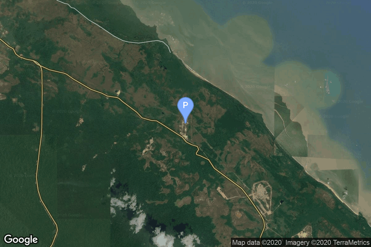
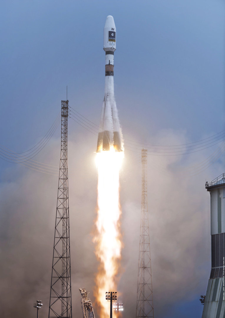
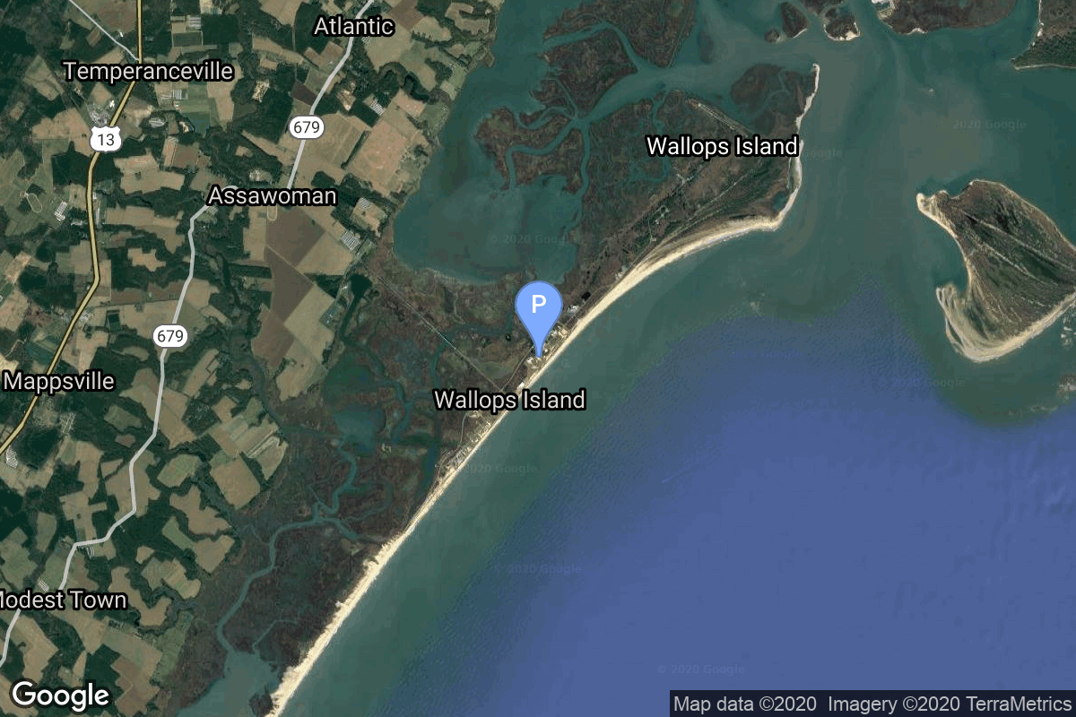
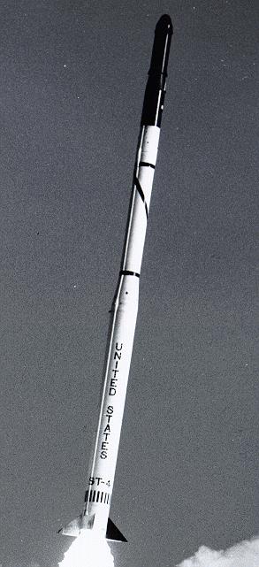
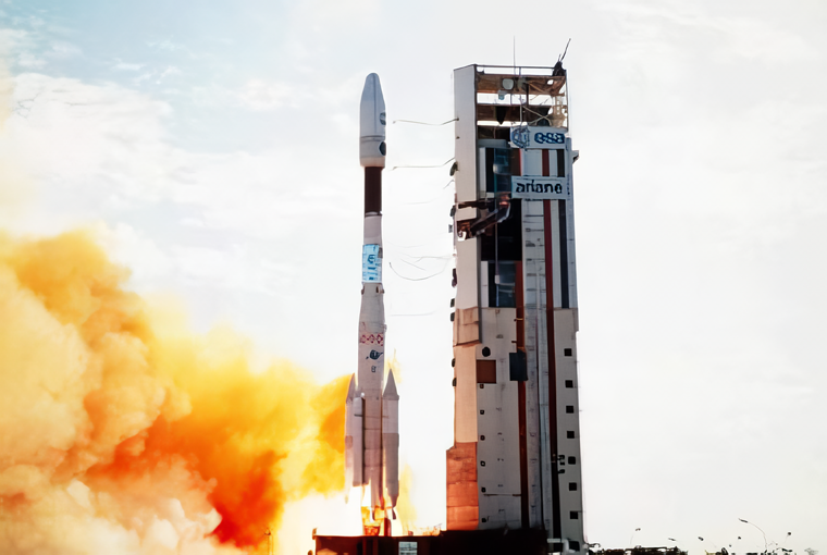
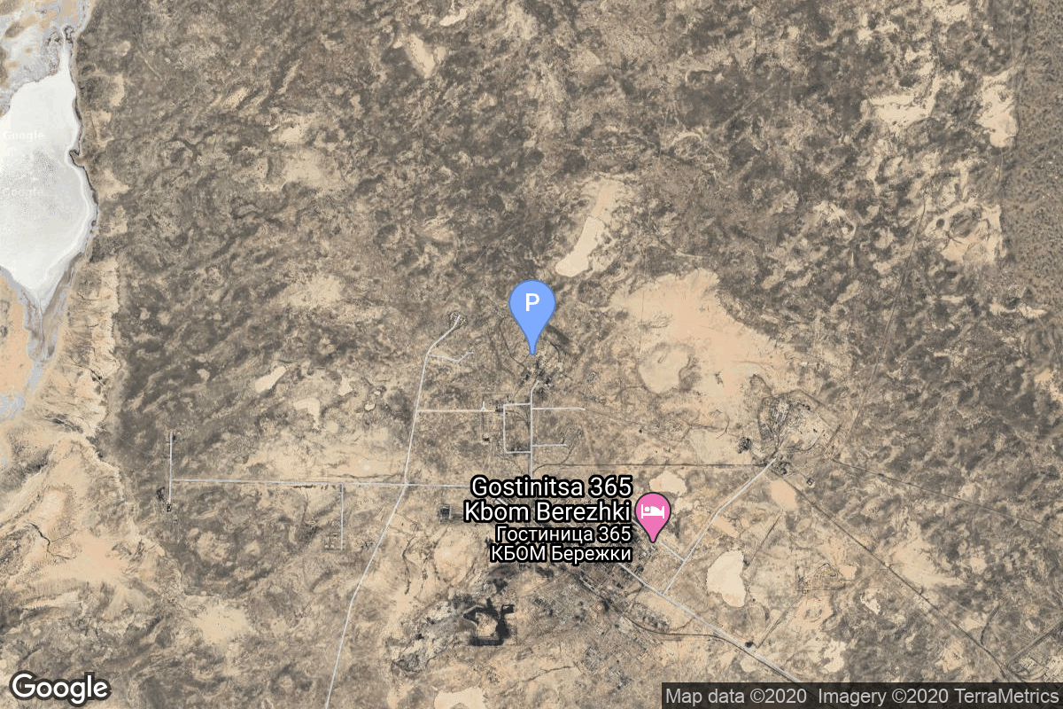
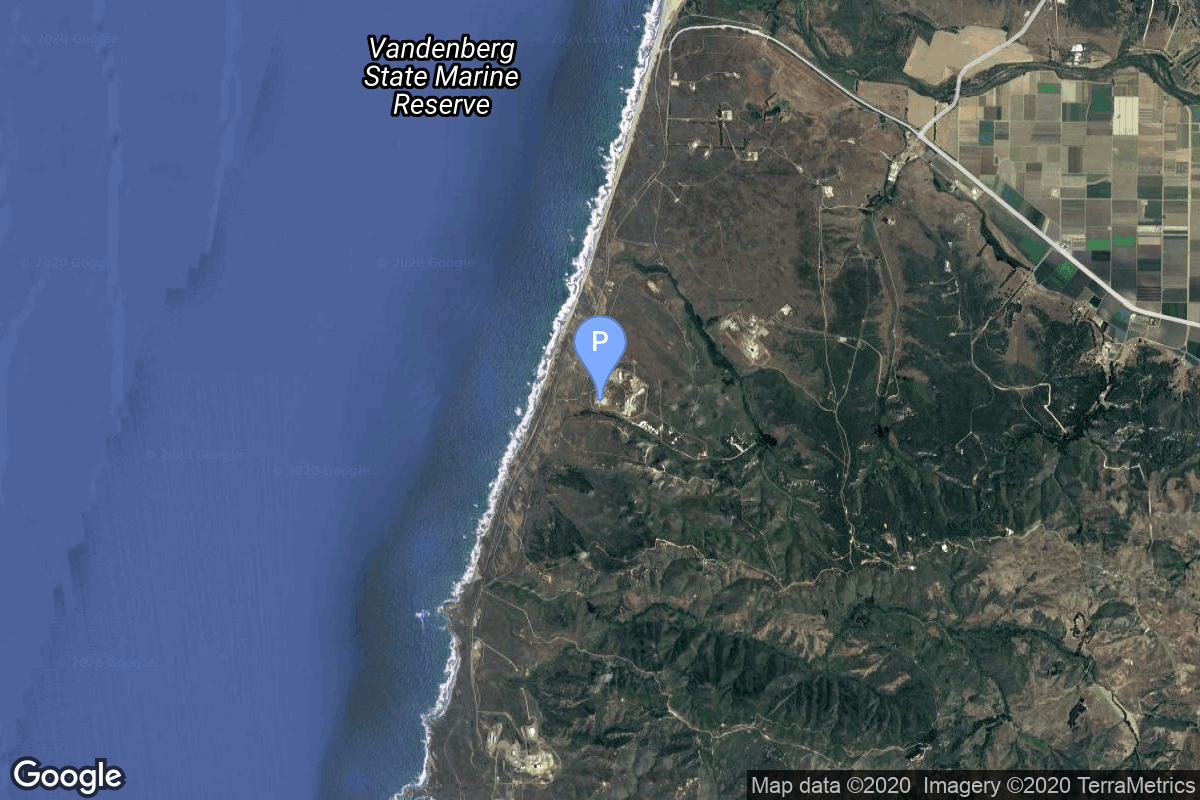
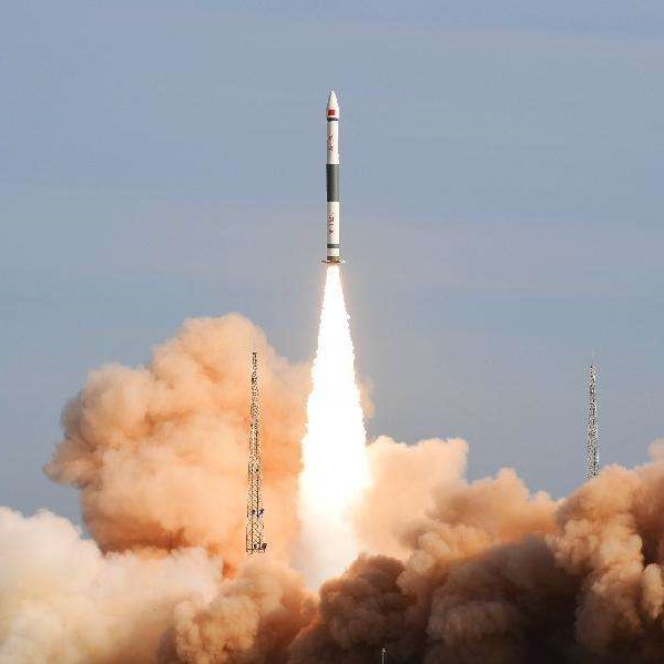
{ "count": 7486, "next": "https://ll.thespacedevs.com/2.0.0/launch/?format=api&limit=10&offset=7380&ordering=id", "previous": "https://ll.thespacedevs.com/2.0.0/launch/?format=api&limit=10&offset=7360&ordering=id", "results": [ { "id": "fb414fb8-c7c4-4b98-9057-8ffdc563bec6", "url": "https://ll.thespacedevs.com/2.0.0/launch/fb414fb8-c7c4-4b98-9057-8ffdc563bec6/?format=api", "launch_library_id": 512, "slug": "soyuz-stafregat-sentinel-1b", "name": "Soyuz STA/Fregat | Sentinel-1B", "status": { "id": 3, "name": "Success" }, "net": "2016-04-25T21:02:13Z", "window_end": "2016-04-25T21:02:13Z", "window_start": "2016-04-25T21:02:13Z", "inhold": false, "tbdtime": false, "tbddate": false, "probability": -1, "holdreason": "", "failreason": "", "hashtag": null, "launch_service_provider": { "id": 115, "url": "https://ll.thespacedevs.com/2.0.0/agencies/115/?format=api", "name": "Arianespace", "type": "Commercial" }, "rocket": { "id": 1922, "configuration": { "id": 49, "launch_library_id": 76, "url": "https://ll.thespacedevs.com/2.0.0/config/launcher/49/?format=api", "name": "Soyuz STA", "family": "Soyuz", "full_name": "Soyuz STA Fregat", "variant": "Fregat" } }, "mission": { "id": 163, "launch_library_id": 198, "name": "Sentinel-1B", "description": "Sentinel-1 is a two satellite constellation for land and ocean monitoring. C-band imaging will provide an all-weather day-and-night supply of imagery for Copernicus user services. This is the second and last satellite launched of the pair.", "launch_designator": null, "type": "Earth Science", "orbit": { "id": 17, "name": "Sun-Synchronous Orbit", "abbrev": "SSO" } }, "pad": { "id": 81, "url": "https://ll.thespacedevs.com/2.0.0/pad/81/?format=api", "agency_id": 115, "name": "Soyuz Launch Complex", "info_url": null, "wiki_url": "https://en.wikipedia.org/wiki/Ensemble_de_Lancement_Soyouz", "map_url": "https://www.google.com/maps?q=5.3019,-52.8346", "latitude": "5.3019", "longitude": "-52.8346", "location": { "id": 13, "url": "https://ll.thespacedevs.com/2.0.0/location/13/?format=api", "name": "Guiana Space Centre, French Guiana", "country_code": "GUF", "map_image": "https://thespacedevs-prod.nyc3.digitaloceanspaces.com/media/map_images/location_13_20200803142412.jpg", "total_launch_count": 325, "total_landing_count": 0 }, "map_image": "https://thespacedevs-prod.nyc3.digitaloceanspaces.com/media/map_images/pad_81_20200803143601.jpg", "total_launch_count": 26 }, "webcast_live": false, "image": "https://thespacedevs-prod.nyc3.digitaloceanspaces.com/media/images/soyuz2520sta_image_20191210133244.jpg", "infographic": null, "program": [ { "id": 22, "url": "https://ll.thespacedevs.com/2.0.0/program/22/?format=api", "name": "Copernicus", "description": "Copernicus is the European Union's Earth observation programme coordinated and managed for the European Commission by the European Union Agency for the Space Programme in partnership with the European Space Agency (ESA), the EU Member States. It aims at achieving a global, continuous, autonomous, high quality, wide range Earth observation capacity. Providing accurate, timely and easily accessible information to, among other things, improve the management of the environment, understand and mitigate the effects of climate change, and ensure civil security.", "agencies": [ { "id": 27, "url": "https://ll.thespacedevs.com/2.0.0/agencies/27/?format=api", "name": "European Space Agency", "type": "Multinational" }, { "id": 1043, "url": "https://ll.thespacedevs.com/2.0.0/agencies/1043/?format=api", "name": "European Union Agency for the Space Programme", "type": "Multinational" } ], "image_url": "https://thespacedevs-prod.nyc3.digitaloceanspaces.com/media/images/copernicus_program_20221129162831.png", "start_date": "2014-04-03T00:00:00Z", "end_date": null, "info_url": "https://www.copernicus.eu", "wiki_url": "https://en.wikipedia.org/wiki/Copernicus_Programme" } ] }, { "id": "fb6e81f6-cc91-47da-ace7-5788a63304fa", "url": "https://ll.thespacedevs.com/2.0.0/launch/fb6e81f6-cc91-47da-ace7-5788a63304fa/?format=api", "launch_library_id": null, "slug": "kosmos-11k63-ds-p1-yu-10", "name": "Kosmos 11K63 | DS-P1-Yu 10", "status": { "id": 3, "name": "Success" }, "net": "1967-09-12T17:00:00Z", "window_end": "1967-09-12T17:00:00Z", "window_start": "1967-09-12T17:00:00Z", "inhold": false, "tbdtime": false, "tbddate": false, "probability": null, "holdreason": "", "failreason": null, "hashtag": null, "launch_service_provider": { "id": 66, "url": "https://ll.thespacedevs.com/2.0.0/agencies/66/?format=api", "name": "Soviet Space Program", "type": "Government" }, "rocket": { "id": 3702, "configuration": { "id": 327, "launch_library_id": null, "url": "https://ll.thespacedevs.com/2.0.0/config/launcher/327/?format=api", "name": "Kosmos 11K63", "family": "Kosmos", "full_name": "Kosmos 11K63", "variant": "11K63" } }, "mission": { "id": 2120, "launch_library_id": null, "name": "DS-P1-Yu 10", "description": "The DS-P1-Yu series of satellites was used to calibrate space surveillance and early warning radars.", "launch_designator": null, "type": "Test Target", "orbit": { "id": 8, "name": "Low Earth Orbit", "abbrev": "LEO" } }, "pad": { "id": 3, "url": "https://ll.thespacedevs.com/2.0.0/pad/3/?format=api", "agency_id": 163, "name": "133/3 (133L)", "info_url": null, "wiki_url": "", "map_url": "https://www.google.com/maps?q=62.886999,40.846984", "latitude": "62.886999", "longitude": "40.846984", "location": { "id": 6, "url": "https://ll.thespacedevs.com/2.0.0/location/6/?format=api", "name": "Plesetsk Cosmodrome, Russian Federation", "country_code": "RUS", "map_image": "https://thespacedevs-prod.nyc3.digitaloceanspaces.com/media/map_images/location_6_20200803142434.jpg", "total_launch_count": 1674, "total_landing_count": 0 }, "map_image": "https://thespacedevs-prod.nyc3.digitaloceanspaces.com/media/map_images/pad_3_20200803143438.jpg", "total_launch_count": 159 }, "webcast_live": false, "image": null, "infographic": null, "program": [] }, { "id": "fb8235f4-31ed-4726-a03a-e5322ab9cd5a", "url": "https://ll.thespacedevs.com/2.0.0/launch/fb8235f4-31ed-4726-a03a-e5322ab9cd5a/?format=api", "launch_library_id": 1848, "slug": "scout-x-1-s-55", "name": "Scout X-1 | S-55", "status": { "id": 4, "name": "Failure" }, "net": "1961-06-30T17:09:00Z", "window_end": "1961-06-30T17:09:00Z", "window_start": "1961-06-30T17:09:00Z", "inhold": false, "tbdtime": false, "tbddate": false, "probability": 0, "holdreason": "", "failreason": "Third stage failed to ignite.", "hashtag": "", "launch_service_provider": { "id": 44, "url": "https://ll.thespacedevs.com/2.0.0/agencies/44/?format=api", "name": "National Aeronautics and Space Administration", "type": "Government" }, "rocket": { "id": 2381, "configuration": { "id": 185, "launch_library_id": 208, "url": "https://ll.thespacedevs.com/2.0.0/config/launcher/185/?format=api", "name": "Scout X-1", "family": "Scout", "full_name": "Scout X-1", "variant": "X-1" } }, "mission": null, "pad": { "id": 94, "url": "https://ll.thespacedevs.com/2.0.0/pad/94/?format=api", "agency_id": 44, "name": "Launch Area 3", "info_url": null, "wiki_url": "", "map_url": "https://www.google.com/maps?q=37.8495,-75.4725", "latitude": "37.8495", "longitude": "-75.4725", "location": { "id": 21, "url": "https://ll.thespacedevs.com/2.0.0/location/21/?format=api", "name": "Wallops Flight Facility, Virginia, USA", "country_code": "USA", "map_image": "https://thespacedevs-prod.nyc3.digitaloceanspaces.com/media/map_images/location_21_20200803142423.jpg", "total_launch_count": 80, "total_landing_count": 0 }, "map_image": "https://thespacedevs-prod.nyc3.digitaloceanspaces.com/media/map_images/pad_94_20200803143206.jpg", "total_launch_count": 13 }, "webcast_live": false, "image": "https://thespacedevs-prod.nyc3.digitaloceanspaces.com/media/images/scout2520x-1_image_20190324192636.jpeg", "infographic": null, "program": [] }, { "id": "fb90b2c5-d7d1-4944-bb17-7b09e4774f7d", "url": "https://ll.thespacedevs.com/2.0.0/launch/fb90b2c5-d7d1-4944-bb17-7b09e4774f7d/?format=api", "launch_library_id": null, "slug": "proton-us-ks-7", "name": "Proton | US-KS 7", "status": { "id": 3, "name": "Success" }, "net": "1997-08-14T20:49:14Z", "window_end": "1997-08-14T20:49:14Z", "window_start": "1997-08-14T20:49:14Z", "inhold": false, "tbdtime": false, "tbddate": false, "probability": null, "holdreason": "", "failreason": null, "hashtag": null, "launch_service_provider": { "id": 96, "url": "https://ll.thespacedevs.com/2.0.0/agencies/96/?format=api", "name": "Khrunichev State Research and Production Space Center", "type": "Government" }, "rocket": { "id": 6794, "configuration": { "id": 80, "launch_library_id": 99, "url": "https://ll.thespacedevs.com/2.0.0/config/launcher/80/?format=api", "name": "Proton", "family": "Proton / UR-500", "full_name": "Proton K/DM-2", "variant": "K/DM-2" } }, "mission": { "id": 5184, "launch_library_id": null, "name": "US-KS 7", "description": "Geostationary early warning satellite", "launch_designator": null, "type": "Government/Top Secret", "orbit": { "id": 1, "name": "Geostationary Orbit", "abbrev": "Direct-GEO" } }, "pad": { "id": 15, "url": "https://ll.thespacedevs.com/2.0.0/pad/15/?format=api", "agency_id": null, "name": "200/39 (200L)", "info_url": null, "wiki_url": "", "map_url": "https://www.google.com/maps?q=46.039984,63.032093", "latitude": "46.039984", "longitude": "63.032093", "location": { "id": 15, "url": "https://ll.thespacedevs.com/2.0.0/location/15/?format=api", "name": "Baikonur Cosmodrome, Republic of Kazakhstan", "country_code": "KAZ", "map_image": "https://thespacedevs-prod.nyc3.digitaloceanspaces.com/media/map_images/location_15_20200803142517.jpg", "total_launch_count": 1555, "total_landing_count": 0 }, "map_image": "https://thespacedevs-prod.nyc3.digitaloceanspaces.com/media/map_images/pad_15_20200803143530.jpg", "total_launch_count": 167 }, "webcast_live": false, "image": "https://thespacedevs-prod.nyc3.digitaloceanspaces.com/media/images/proton_image_20231231095535.jpg", "infographic": null, "program": [] }, { "id": "fb96025e-8702-47f2-a4e5-92c25db0bc64", "url": "https://ll.thespacedevs.com/2.0.0/launch/fb96025e-8702-47f2-a4e5-92c25db0bc64/?format=api", "launch_library_id": null, "slug": "ariane-44lp-meteosat-3", "name": "Ariane 44LP | Meteosat 3", "status": { "id": 3, "name": "Success" }, "net": "1988-06-15T11:19:01Z", "window_end": "1988-06-15T11:19:01Z", "window_start": "1988-06-15T11:19:01Z", "inhold": false, "tbdtime": false, "tbddate": false, "probability": null, "holdreason": "", "failreason": null, "hashtag": null, "launch_service_provider": { "id": 115, "url": "https://ll.thespacedevs.com/2.0.0/agencies/115/?format=api", "name": "Arianespace", "type": "Commercial" }, "rocket": { "id": 6077, "configuration": { "id": 226, "launch_library_id": null, "url": "https://ll.thespacedevs.com/2.0.0/config/launcher/226/?format=api", "name": "Ariane 44LP", "family": "Ariane", "full_name": "Ariane 44LP", "variant": "44LP" } }, "mission": { "id": 4467, "launch_library_id": null, "name": "Meteosat 3", "description": "European meteorological satellite", "launch_designator": null, "type": "Earth Science", "orbit": { "id": 1, "name": "Geostationary Orbit", "abbrev": "Direct-GEO" } }, "pad": { "id": 124, "url": "https://ll.thespacedevs.com/2.0.0/pad/124/?format=api", "agency_id": 115, "name": "Ariane Launch Area 2", "info_url": null, "wiki_url": "https://en.wikipedia.org/wiki/ELA-2", "map_url": "https://www.google.com/maps?q=5.232,-52.778194", "latitude": "5.232", "longitude": "-52.778194", "location": { "id": 13, "url": "https://ll.thespacedevs.com/2.0.0/location/13/?format=api", "name": "Guiana Space Centre, French Guiana", "country_code": "GUF", "map_image": "https://thespacedevs-prod.nyc3.digitaloceanspaces.com/media/map_images/location_13_20200803142412.jpg", "total_launch_count": 325, "total_landing_count": 0 }, "map_image": "https://thespacedevs-prod.nyc3.digitaloceanspaces.com/media/map_images/pad_124_20200803143241.jpg", "total_launch_count": 119 }, "webcast_live": false, "image": "https://thespacedevs-prod.nyc3.digitaloceanspaces.com/media/images/ariane_44lp_at__image_20240401083402.png", "infographic": null, "program": [] }, { "id": "fb96b0c9-aa3e-4757-971e-8a40612c89af", "url": "https://ll.thespacedevs.com/2.0.0/launch/fb96b0c9-aa3e-4757-971e-8a40612c89af/?format=api", "launch_library_id": null, "slug": "kosmos-3m-strela-2m-43", "name": "Kosmos-3M | Strela-2M 43", "status": { "id": 3, "name": "Success" }, "net": "1987-12-01T14:15:45Z", "window_end": "1987-12-01T14:15:45Z", "window_start": "1987-12-01T14:15:45Z", "inhold": false, "tbdtime": false, "tbddate": false, "probability": null, "holdreason": "", "failreason": null, "hashtag": null, "launch_service_provider": { "id": 66, "url": "https://ll.thespacedevs.com/2.0.0/agencies/66/?format=api", "name": "Soviet Space Program", "type": "Government" }, "rocket": { "id": 6018, "configuration": { "id": 102, "launch_library_id": 122, "url": "https://ll.thespacedevs.com/2.0.0/config/launcher/102/?format=api", "name": "Kosmos-3M", "family": "Kosmos", "full_name": "Kosmos-3M (11K65M)", "variant": "-3M" } }, "mission": { "id": 4409, "launch_library_id": null, "name": "Strela-2M 43", "description": "Military communications satellite", "launch_designator": null, "type": "Government/Top Secret", "orbit": { "id": 8, "name": "Low Earth Orbit", "abbrev": "LEO" } }, "pad": { "id": 3, "url": "https://ll.thespacedevs.com/2.0.0/pad/3/?format=api", "agency_id": 163, "name": "133/3 (133L)", "info_url": null, "wiki_url": "", "map_url": "https://www.google.com/maps?q=62.886999,40.846984", "latitude": "62.886999", "longitude": "40.846984", "location": { "id": 6, "url": "https://ll.thespacedevs.com/2.0.0/location/6/?format=api", "name": "Plesetsk Cosmodrome, Russian Federation", "country_code": "RUS", "map_image": "https://thespacedevs-prod.nyc3.digitaloceanspaces.com/media/map_images/location_6_20200803142434.jpg", "total_launch_count": 1674, "total_landing_count": 0 }, "map_image": "https://thespacedevs-prod.nyc3.digitaloceanspaces.com/media/map_images/pad_3_20200803143438.jpg", "total_launch_count": 159 }, "webcast_live": false, "image": null, "infographic": null, "program": [] }, { "id": "fb99a96a-a00c-4210-afc8-242546660cc4", "url": "https://ll.thespacedevs.com/2.0.0/launch/fb99a96a-a00c-4210-afc8-242546660cc4/?format=api", "launch_library_id": null, "slug": "tsiklon-2a-i2p-1", "name": "Tsiklon-2A | I2P 1", "status": { "id": 3, "name": "Success" }, "net": "1968-10-20T04:02:00Z", "window_end": "1968-10-20T04:02:00Z", "window_start": "1968-10-20T04:02:00Z", "inhold": false, "tbdtime": false, "tbddate": false, "probability": null, "holdreason": "", "failreason": null, "hashtag": null, "launch_service_provider": { "id": 66, "url": "https://ll.thespacedevs.com/2.0.0/agencies/66/?format=api", "name": "Soviet Space Program", "type": "Government" }, "rocket": { "id": 3835, "configuration": { "id": 444, "launch_library_id": null, "url": "https://ll.thespacedevs.com/2.0.0/config/launcher/444/?format=api", "name": "Tsiklon-2A", "family": "Tsiklon", "full_name": "Tsiklon-2A", "variant": "2A" } }, "mission": { "id": 2253, "launch_library_id": null, "name": "I2P 1", "description": "The I2P satellites were the first soviet coorbital ASAT system.", "launch_designator": null, "type": "Government/Top Secret", "orbit": { "id": 8, "name": "Low Earth Orbit", "abbrev": "LEO" } }, "pad": { "id": 134, "url": "https://ll.thespacedevs.com/2.0.0/pad/134/?format=api", "agency_id": null, "name": "90/20", "info_url": null, "wiki_url": "https://en.wikipedia.org/wiki/Baikonur_Cosmodrome_Site_90", "map_url": "https://www.google.com/maps?q=46.081,62.929806", "latitude": "46.081", "longitude": "62.929806", "location": { "id": 15, "url": "https://ll.thespacedevs.com/2.0.0/location/15/?format=api", "name": "Baikonur Cosmodrome, Republic of Kazakhstan", "country_code": "KAZ", "map_image": "https://thespacedevs-prod.nyc3.digitaloceanspaces.com/media/map_images/location_15_20200803142517.jpg", "total_launch_count": 1555, "total_landing_count": 0 }, "map_image": "https://thespacedevs-prod.nyc3.digitaloceanspaces.com/media/map_images/pad_134_20200803143259.jpg", "total_launch_count": 23 }, "webcast_live": false, "image": null, "infographic": null, "program": [] }, { "id": "fb9a85a6-209d-4433-a1a3-906e5cbceaf0", "url": "https://ll.thespacedevs.com/2.0.0/launch/fb9a85a6-209d-4433-a1a3-906e5cbceaf0/?format=api", "launch_library_id": null, "slug": "kuaizhou-1a-haishao-1", "name": "Kuaizhou-1A | Haishao-1", "status": { "id": 3, "name": "Success" }, "net": "2024-12-04T04:46:00Z", "window_end": "2024-12-04T05:21:00Z", "window_start": "2024-12-04T04:36:00Z", "inhold": false, "tbdtime": false, "tbddate": false, "probability": null, "holdreason": "", "failreason": "", "hashtag": null, "launch_service_provider": { "id": 194, "url": "https://ll.thespacedevs.com/2.0.0/agencies/194/?format=api", "name": "ExPace", "type": "Commercial" }, "rocket": { "id": 8439, "configuration": { "id": 135, "launch_library_id": 155, "url": "https://ll.thespacedevs.com/2.0.0/config/launcher/135/?format=api", "name": "Kuaizhou", "family": "Kuaizhou", "full_name": "Kuaizhou-1A", "variant": "1A" } }, "mission": { "id": 7028, "launch_library_id": null, "name": "Haishao-1", "description": "Synthetic-aperture radar Earth observation satellite from the Chinese Academy of Sciences to observe dynamics properties of oceans.", "launch_designator": null, "type": "Earth Science", "orbit": { "id": 8, "name": "Low Earth Orbit", "abbrev": "LEO" } }, "pad": { "id": 157, "url": "https://ll.thespacedevs.com/2.0.0/pad/157/?format=api", "agency_id": null, "name": "Mobile Launcher Pad", "info_url": null, "wiki_url": "https://en.wikipedia.org/wiki/Xichang_Satellite_Launch_Center", "map_url": "https://www.google.com/maps?q=28.242774,102.032944", "latitude": "28.242774", "longitude": "102.032944", "location": { "id": 16, "url": "https://ll.thespacedevs.com/2.0.0/location/16/?format=api", "name": "Xichang Satellite Launch Center, People's Republic of China", "country_code": "CHN", "map_image": "https://thespacedevs-prod.nyc3.digitaloceanspaces.com/media/map_images/location_16_20200803142513.jpg", "total_launch_count": 224, "total_landing_count": 0 }, "map_image": "https://thespacedevs-prod.nyc3.digitaloceanspaces.com/media/map_images/pad_157_20200803143359.jpg", "total_launch_count": 7 }, "webcast_live": false, "image": "https://thespacedevs-prod.nyc3.digitaloceanspaces.com/media/images/kuaizhou_image_20191027094423.jpeg", "infographic": null, "program": [] }, { "id": "fba1039c-741f-4a71-837c-f34322f887d9", "url": "https://ll.thespacedevs.com/2.0.0/launch/fba1039c-741f-4a71-837c-f34322f887d9/?format=api", "launch_library_id": null, "slug": "voskhod-zenit-4-75", "name": "Voskhod | Zenit-4 75", "status": { "id": 4, "name": "Failure" }, "net": "1970-07-21T12:30:01Z", "window_end": "1970-07-21T12:30:01Z", "window_start": "1970-07-21T12:30:01Z", "inhold": false, "tbdtime": false, "tbddate": false, "probability": null, "holdreason": "", "failreason": null, "hashtag": null, "launch_service_provider": { "id": 66, "url": "https://ll.thespacedevs.com/2.0.0/agencies/66/?format=api", "name": "Soviet Space Program", "type": "Government" }, "rocket": { "id": 4027, "configuration": { "id": 104, "launch_library_id": 138, "url": "https://ll.thespacedevs.com/2.0.0/config/launcher/104/?format=api", "name": "Voskhod", "family": "R-7", "full_name": "Voskhod", "variant": "Voskhod" } }, "mission": { "id": 2445, "launch_library_id": null, "name": "Zenit-4 75", "description": "Zenit-4 film-return reconnaissance satellite.", "launch_designator": null, "type": "Government/Top Secret", "orbit": { "id": 8, "name": "Low Earth Orbit", "abbrev": "LEO" } }, "pad": { "id": 85, "url": "https://ll.thespacedevs.com/2.0.0/pad/85/?format=api", "agency_id": 163, "name": "43/4 (43R)", "info_url": null, "wiki_url": null, "map_url": "https://www.google.com/maps?q=62.92883,40.457098", "latitude": "62.92883", "longitude": "40.457098", "location": { "id": 6, "url": "https://ll.thespacedevs.com/2.0.0/location/6/?format=api", "name": "Plesetsk Cosmodrome, Russian Federation", "country_code": "RUS", "map_image": "https://thespacedevs-prod.nyc3.digitaloceanspaces.com/media/map_images/location_6_20200803142434.jpg", "total_launch_count": 1674, "total_landing_count": 0 }, "map_image": "https://thespacedevs-prod.nyc3.digitaloceanspaces.com/media/map_images/pad_85_20200803143554.jpg", "total_launch_count": 323 }, "webcast_live": false, "image": null, "infographic": null, "program": [] }, { "id": "fba73cbf-7da7-4f27-bca0-e75be9a06ae0", "url": "https://ll.thespacedevs.com/2.0.0/launch/fba73cbf-7da7-4f27-bca0-e75be9a06ae0/?format=api", "launch_library_id": null, "slug": "titan-iiib-kh-8-16", "name": "Titan IIIB | KH-8 16", "status": { "id": 3, "name": "Success" }, "net": "1968-09-10T18:30:00Z", "window_end": "1968-09-10T18:30:00Z", "window_start": "1968-09-10T18:30:00Z", "inhold": false, "tbdtime": false, "tbddate": false, "probability": null, "holdreason": "", "failreason": null, "hashtag": null, "launch_service_provider": { "id": 161, "url": "https://ll.thespacedevs.com/2.0.0/agencies/161/?format=api", "name": "United States Air Force", "type": "Government" }, "rocket": { "id": 3819, "configuration": { "id": 438, "launch_library_id": null, "url": "https://ll.thespacedevs.com/2.0.0/config/launcher/438/?format=api", "name": "Titan IIIB", "family": "Titan", "full_name": "Titan IIIB", "variant": "IIIB" } }, "mission": { "id": 2237, "launch_library_id": null, "name": "KH-8 16", "description": "KH-8 or Gambit-3 was the second generation of Gambit high resolution reconnaissance satellites.", "launch_designator": null, "type": "Government/Top Secret", "orbit": { "id": 8, "name": "Low Earth Orbit", "abbrev": "LEO" } }, "pad": { "id": 156, "url": "https://ll.thespacedevs.com/2.0.0/pad/156/?format=api", "agency_id": null, "name": "Space Launch Complex 4W", "info_url": "http://www.astronautix.com/v/vandenbergslc4w.html", "wiki_url": "https://en.wikipedia.org/wiki/Vandenberg_Air_Force_Base_Space_Launch_Complex_4#SLC-4W", "map_url": "https://www.google.com/maps?q=34.63312,-120.61584", "latitude": "34.63312", "longitude": "-120.61584", "location": { "id": 11, "url": "https://ll.thespacedevs.com/2.0.0/location/11/?format=api", "name": "Vandenberg SFB, CA, USA", "country_code": "USA", "map_image": "https://thespacedevs-prod.nyc3.digitaloceanspaces.com/media/map_images/location_11_20200803142416.jpg", "total_launch_count": 804, "total_landing_count": 26 }, "map_image": "https://thespacedevs-prod.nyc3.digitaloceanspaces.com/media/map_images/pad_156_20200803143351.jpg", "total_launch_count": 93 }, "webcast_live": false, "image": null, "infographic": null, "program": [] } ] }