Launch List
API endpoint that returns all Launch objects or a single launch.
EXAMPLE - /launch/
GET: Return a list of all Launch objects.
FILTERS: Fields - 'name', 'id(s)', 'lsp_id', 'lsp_name', 'serial_number', 'launcher_config__id', 'rocket__spacecraftflight__spacecraft__name'
MODE: 'normal', 'list', 'detailed' EXAMPLE: ?mode=list
SEARCH: Searches through the launch name, rocket name, launch agency, mission name & spacecraft name. EXAMPLE - ?search=SpaceX
GET /2.0.0/launch/?format=api&offset=7320&ordering=id
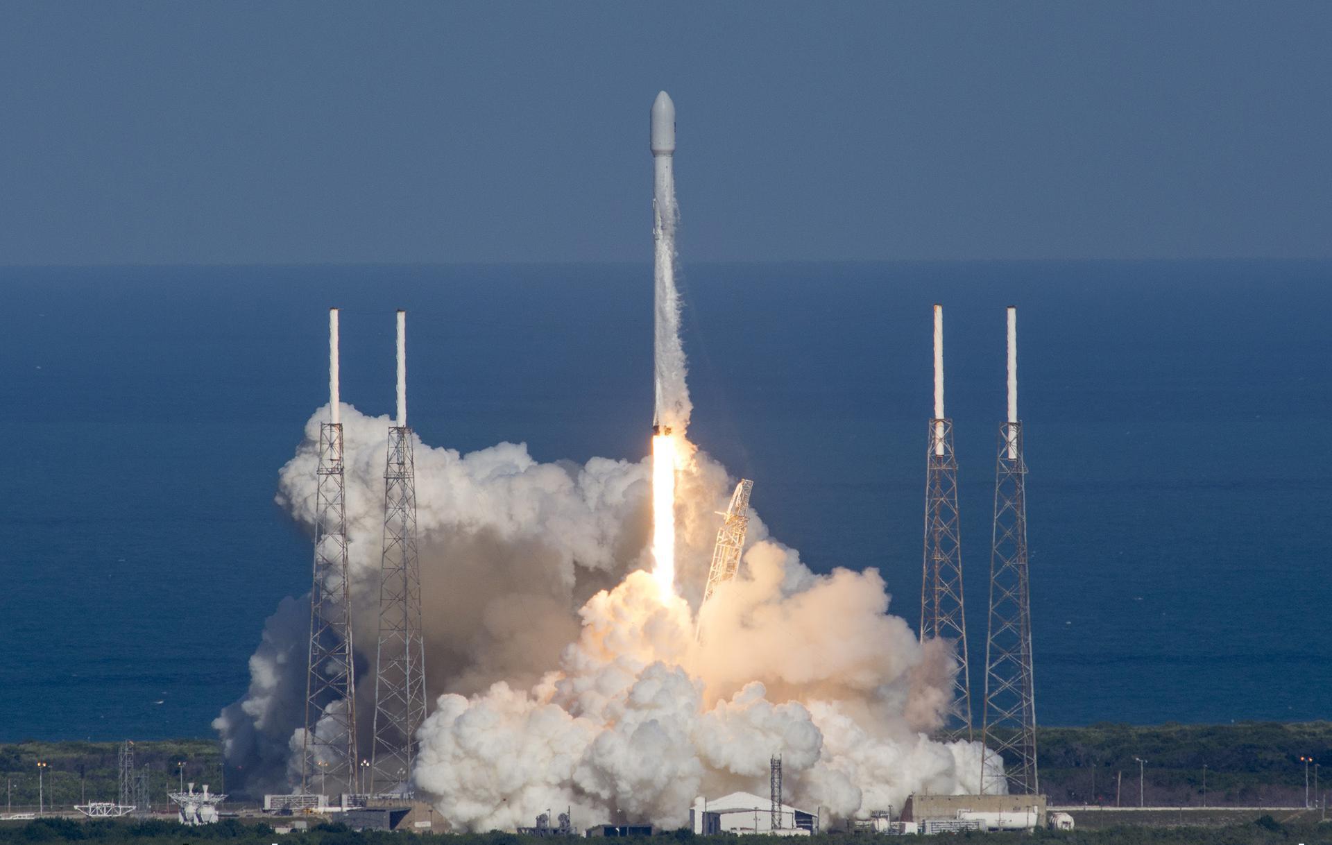
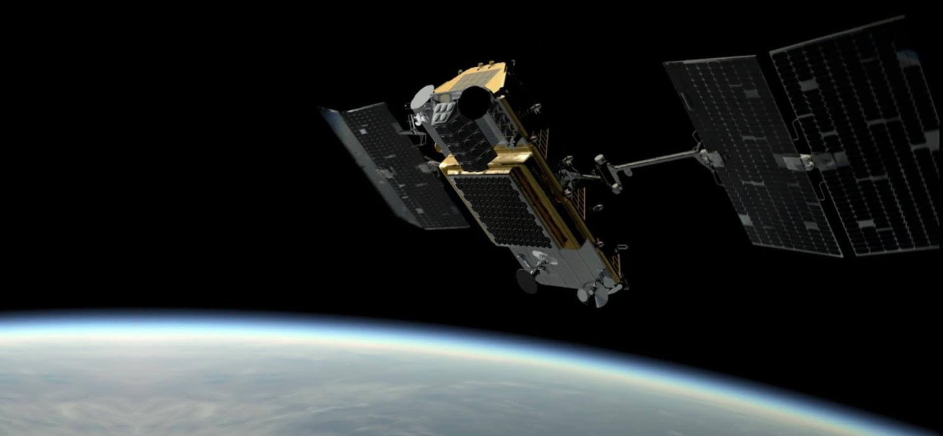
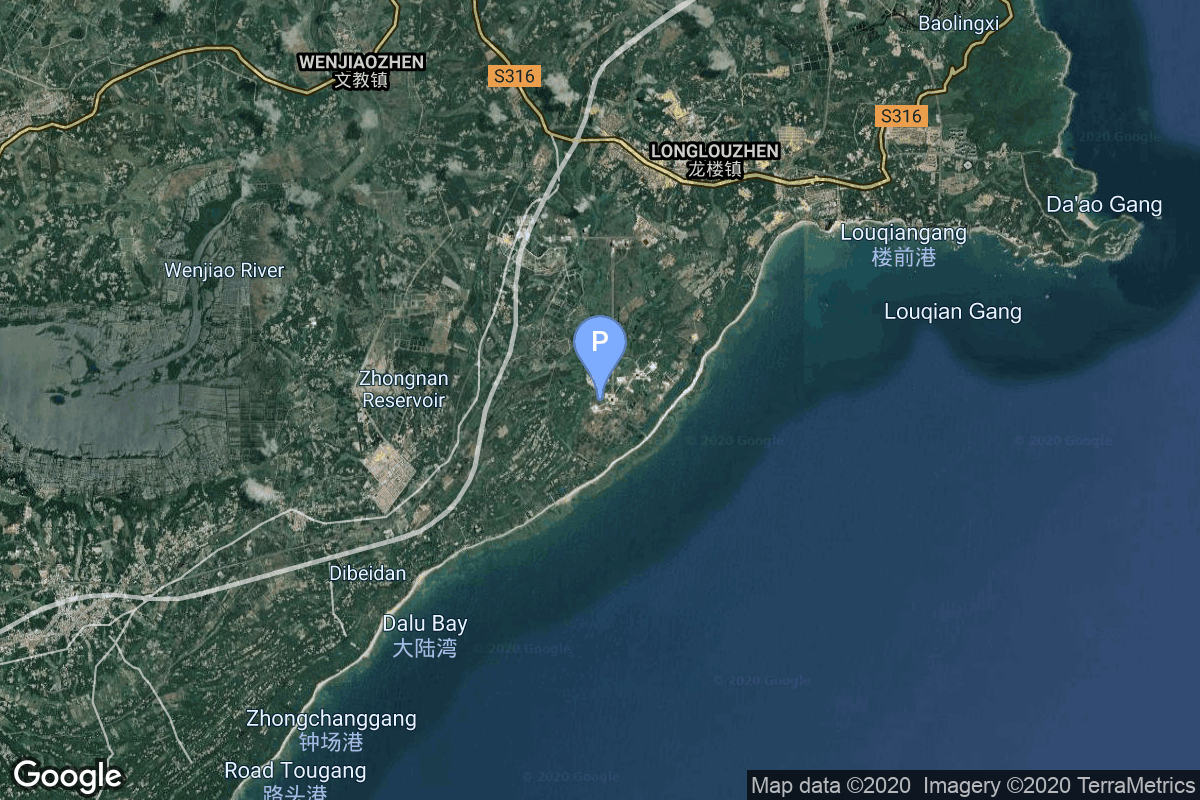
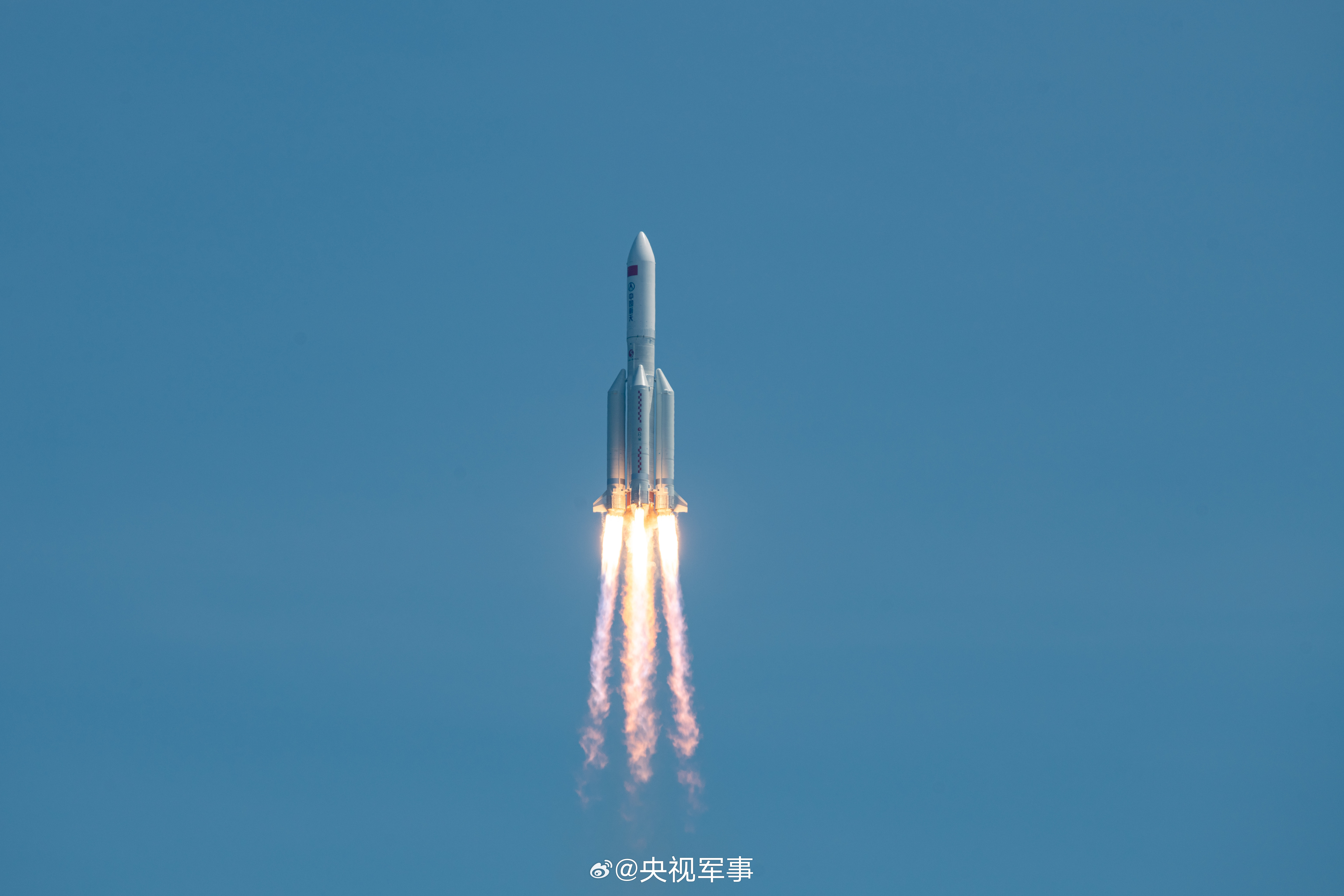
{ "count": 7930, "next": "https://ll.thespacedevs.com/2.0.0/launch/?format=api&limit=10&offset=7330&ordering=id", "previous": "https://ll.thespacedevs.com/2.0.0/launch/?format=api&limit=10&offset=7310&ordering=id", "results": [ { "id": "eb8dfc24-8bf4-4dd1-bedb-a3adb9925b72", "url": "https://ll.thespacedevs.com/2.0.0/launch/eb8dfc24-8bf4-4dd1-bedb-a3adb9925b72/?format=api", "launch_library_id": null, "slug": "kosmos-3m-tsikada-15", "name": "Kosmos-3M | Tsikada 15", "status": { "id": 3, "name": "Success" }, "net": "1987-01-29T06:14:57Z", "window_end": "1987-01-29T06:14:57Z", "window_start": "1987-01-29T06:14:57Z", "inhold": false, "tbdtime": false, "tbddate": false, "probability": null, "holdreason": "", "failreason": null, "hashtag": null, "launch_service_provider": { "id": 66, "url": "https://ll.thespacedevs.com/2.0.0/agencies/66/?format=api", "name": "Soviet Space Program", "type": "Government" }, "rocket": { "id": 5933, "configuration": { "id": 102, "launch_library_id": 122, "url": "https://ll.thespacedevs.com/2.0.0/config/launcher/102/?format=api", "name": "Kosmos-3M", "family": "Kosmos", "full_name": "Kosmos-3M (11K65M)", "variant": "-3M" } }, "mission": { "id": 4329, "launch_library_id": null, "name": "Tsikada 15", "description": "Civilian navigation satellite equivalent to the purely military Parus", "launch_designator": null, "type": "Navigation", "orbit": { "id": 8, "name": "Low Earth Orbit", "abbrev": "LEO" } }, "pad": { "id": 167, "url": "https://ll.thespacedevs.com/2.0.0/pad/167/?format=api", "agency_id": null, "name": "132/2", "info_url": null, "wiki_url": "https://en.wikipedia.org/wiki/Plesetsk_Cosmodrome", "map_url": "https://www.google.com/maps?q=62.883,40.869806", "latitude": "62.883", "longitude": "40.869806", "location": { "id": 6, "url": "https://ll.thespacedevs.com/2.0.0/location/6/?format=api", "name": "Plesetsk Cosmodrome, Russian Federation", "country_code": "RUS", "map_image": "https://thespacedevs-prod.nyc3.digitaloceanspaces.com/media/map_images/location_6_20200803142434.jpg", "total_launch_count": 1686, "total_landing_count": 0 }, "map_image": "https://thespacedevs-prod.nyc3.digitaloceanspaces.com/media/map_images/pad_167_20200803143417.jpg", "total_launch_count": 172 }, "webcast_live": false, "image": "https://thespacedevs-prod.nyc3.digitaloceanspaces.com/media/images/kosmos-3m_durin_image_20251101171325.jpg", "infographic": null, "program": [] }, { "id": "eb953c99-1267-4892-85b2-51a4f22cbb08", "url": "https://ll.thespacedevs.com/2.0.0/launch/eb953c99-1267-4892-85b2-51a4f22cbb08/?format=api", "launch_library_id": 878, "slug": "falcon-9-full-thrust-iridium-2", "name": "Falcon 9 Full Thrust | Iridium-2", "status": { "id": 3, "name": "Success" }, "net": "2017-06-25T20:25:18Z", "window_end": "2017-06-25T20:25:18Z", "window_start": "2017-06-25T20:25:18Z", "inhold": false, "tbdtime": false, "tbddate": false, "probability": 100, "holdreason": "", "failreason": "", "hashtag": null, "launch_service_provider": { "id": 121, "url": "https://ll.thespacedevs.com/2.0.0/agencies/121/?format=api", "name": "SpaceX", "type": "Commercial" }, "rocket": { "id": 2014, "configuration": { "id": 55, "launch_library_id": 80, "url": "https://ll.thespacedevs.com/2.0.0/config/launcher/55/?format=api", "name": "Falcon 9", "family": "Falcon", "full_name": "Falcon 9 Full Thrust", "variant": "Full Thrust" } }, "mission": { "id": 131, "launch_library_id": 208, "name": "Iridium-2", "description": "SpaceX’s Falcon 9 rocket will deliver 10 satellites to low Earth orbit for Iridium, a global leader in mobile voice and data satellite communications. This is the second set of 10 satellites in a series of 75 total satellites that SpaceX will launch for Iridium’s next generation global satellite constellation, Iridium® NEXT.", "launch_designator": null, "type": "Communications", "orbit": { "id": 8, "name": "Low Earth Orbit", "abbrev": "LEO" } }, "pad": { "id": 16, "url": "https://ll.thespacedevs.com/2.0.0/pad/16/?format=api", "agency_id": null, "name": "Space Launch Complex 4E", "info_url": null, "wiki_url": "https://en.wikipedia.org/wiki/Vandenberg_Space_Launch_Complex_4#SLC-4E", "map_url": "https://www.google.com/maps?q=34.632,-120.611", "latitude": "34.632", "longitude": "-120.611", "location": { "id": 11, "url": "https://ll.thespacedevs.com/2.0.0/location/11/?format=api", "name": "Vandenberg SFB, CA, USA", "country_code": "USA", "map_image": "https://thespacedevs-prod.nyc3.digitaloceanspaces.com/media/map_images/location_11_20200803142416.jpg", "total_launch_count": 900, "total_landing_count": 35 }, "map_image": "https://thespacedevs-prod.nyc3.digitaloceanspaces.com/media/map_images/pad_16_20200803143532.jpg", "total_launch_count": 284 }, "webcast_live": false, "image": "https://thespacedevs-prod.nyc3.digitaloceanspaces.com/media/images/falcon252092520full2520thrust_image_20190222031117.jpeg", "infographic": null, "program": [ { "id": 28, "url": "https://ll.thespacedevs.com/2.0.0/program/28/?format=api", "name": "Iridium Constellation", "description": "The Iridium satellite constellation provides L band voice and data information coverage to satellite phones, satellite messenger communication devices and integrated transceivers.", "agencies": [ { "id": 202, "url": "https://ll.thespacedevs.com/2.0.0/agencies/202/?format=api", "name": "Iridium Communications", "type": "Commercial" } ], "image_url": "https://thespacedevs-prod.nyc3.digitaloceanspaces.com/media/images/iridium2520con_program_20231228184831.jpeg", "start_date": "1997-05-05T00:00:00Z", "end_date": null, "info_url": "https://iridium.com/", "wiki_url": "https://en.wikipedia.org/wiki/Iridium_satellite_constellation" } ] }, { "id": "eba3b1ed-3b47-4f45-9719-168f6470d8b6", "url": "https://ll.thespacedevs.com/2.0.0/launch/eba3b1ed-3b47-4f45-9719-168f6470d8b6/?format=api", "launch_library_id": null, "slug": "long-march-5byz-2-satnet-leo-group-03", "name": "Long March 5B/YZ-2 | SatNet LEO Group 03", "status": { "id": 3, "name": "Success" }, "net": "2025-04-28T20:10:00Z", "window_end": "2025-04-28T20:25:00Z", "window_start": "2025-04-28T20:01:00Z", "inhold": false, "tbdtime": false, "tbddate": false, "probability": null, "holdreason": "", "failreason": "", "hashtag": null, "launch_service_provider": { "id": 88, "url": "https://ll.thespacedevs.com/2.0.0/agencies/88/?format=api", "name": "China Aerospace Science and Technology Corporation", "type": "Government" }, "rocket": { "id": 8597, "configuration": { "id": 508, "launch_library_id": null, "url": "https://ll.thespacedevs.com/2.0.0/config/launcher/508/?format=api", "name": "Long March 5B/YZ-2", "family": "Long March", "full_name": "Long March 5B/YZ-2", "variant": "B/YZ-2" } }, "mission": { "id": 7189, "launch_library_id": null, "name": "SatNet LEO Group 03", "description": "A batch of 10 Low Earth Orbit communication satellites for the Chinese state owned SatNet constellation operated by the China Satellite Network Group.\r\n\r\nThe constellation will eventually consists of 13000 satellites.", "launch_designator": null, "type": "Communications", "orbit": { "id": 13, "name": "Polar Orbit", "abbrev": "PO" } }, "pad": { "id": 175, "url": "https://ll.thespacedevs.com/2.0.0/pad/175/?format=api", "agency_id": null, "name": "101", "info_url": null, "wiki_url": "https://en.wikipedia.org/wiki/Wenchang_Spacecraft_Launch_Site", "map_url": "https://www.google.com/maps?q=19.614334,110.951011", "latitude": "19.614334", "longitude": "110.951011", "location": { "id": 8, "url": "https://ll.thespacedevs.com/2.0.0/location/8/?format=api", "name": "Wenchang Space Launch Site, People's Republic of China", "country_code": "CHN", "map_image": "https://thespacedevs-prod.nyc3.digitaloceanspaces.com/media/map_images/location_8_20200803142445.jpg", "total_launch_count": 68, "total_landing_count": 0 }, "map_image": "https://thespacedevs-prod.nyc3.digitaloceanspaces.com/media/map_images/pad_175_20200803143424.jpg", "total_launch_count": 18 }, "webcast_live": false, "image": "https://thespacedevs-prod.nyc3.digitaloceanspaces.com/media/images/long_march_5b2_image_20250906194017.JPEG", "infographic": null, "program": [] }, { "id": "ebaf6c77-6f86-4d54-bf4e-137d0dc2c235", "url": "https://ll.thespacedevs.com/2.0.0/launch/ebaf6c77-6f86-4d54-bf4e-137d0dc2c235/?format=api", "launch_library_id": null, "slug": "falcon-9-block-5-starlink-group-10-30", "name": "Falcon 9 Block 5 | Starlink Group 10-30", "status": { "id": 3, "name": "Success" }, "net": "2025-08-04T07:57:50Z", "window_end": "2025-08-04T08:11:00Z", "window_start": "2025-08-04T04:11:00Z", "inhold": false, "tbdtime": false, "tbddate": false, "probability": 85, "holdreason": "", "failreason": "", "hashtag": null, "launch_service_provider": { "id": 121, "url": "https://ll.thespacedevs.com/2.0.0/agencies/121/?format=api", "name": "SpaceX", "type": "Commercial" }, "rocket": { "id": 8670, "configuration": { "id": 164, "launch_library_id": 188, "url": "https://ll.thespacedevs.com/2.0.0/config/launcher/164/?format=api", "name": "Falcon 9", "family": "Falcon", "full_name": "Falcon 9 Block 5", "variant": "Block 5" } }, "mission": { "id": 7262, "launch_library_id": null, "name": "Starlink Group 10-30", "description": "A batch of 28 satellites for the Starlink mega-constellation - SpaceX's project for space-based Internet communication system.", "launch_designator": null, "type": "Communications", "orbit": { "id": 8, "name": "Low Earth Orbit", "abbrev": "LEO" } }, "pad": { "id": 80, "url": "https://ll.thespacedevs.com/2.0.0/pad/80/?format=api", "agency_id": 121, "name": "Space Launch Complex 40", "info_url": null, "wiki_url": "https://en.wikipedia.org/wiki/Cape_Canaveral_Air_Force_Station_Space_Launch_Complex_40", "map_url": "https://www.google.com/maps?q=28.56194122,-80.57735736", "latitude": "28.56194122", "longitude": "-80.57735736", "location": { "id": 12, "url": "https://ll.thespacedevs.com/2.0.0/location/12/?format=api", "name": "Cape Canaveral SFS, FL, USA", "country_code": "USA", "map_image": "https://thespacedevs-prod.nyc3.digitaloceanspaces.com/media/map_images/location_12_20200803142519.jpg", "total_launch_count": 1122, "total_landing_count": 75 }, "map_image": "https://thespacedevs-prod.nyc3.digitaloceanspaces.com/media/map_images/pad_80_20200803143323.jpg", "total_launch_count": 394 }, "webcast_live": false, "image": "https://thespacedevs-prod.nyc3.digitaloceanspaces.com/media/images/falcon2520925_image_20221009234147.png", "infographic": null, "program": [ { "id": 25, "url": "https://ll.thespacedevs.com/2.0.0/program/25/?format=api", "name": "Starlink", "description": "Starlink is a satellite internet constellation operated by American aerospace company SpaceX", "agencies": [ { "id": 121, "url": "https://ll.thespacedevs.com/2.0.0/agencies/121/?format=api", "name": "SpaceX", "type": "Commercial" } ], "image_url": "https://thespacedevs-prod.nyc3.digitaloceanspaces.com/media/images/starlink_program_20231228154508.jpeg", "start_date": "2018-02-22T14:17:00Z", "end_date": null, "info_url": "https://starlink.com", "wiki_url": "https://en.wikipedia.org/wiki/Starlink" } ] }, { "id": "ebbcd4d7-d36d-427b-858a-98d06e686bec", "url": "https://ll.thespacedevs.com/2.0.0/launch/ebbcd4d7-d36d-427b-858a-98d06e686bec/?format=api", "launch_library_id": null, "slug": "long-march-6-tianping-3", "name": "Long March 6 | Tianping-3", "status": { "id": 3, "name": "Success" }, "net": "2024-10-22T00:10:00Z", "window_end": "2024-10-22T00:36:00Z", "window_start": "2024-10-22T00:03:00Z", "inhold": false, "tbdtime": false, "tbddate": false, "probability": null, "holdreason": "", "failreason": "", "hashtag": null, "launch_service_provider": { "id": 88, "url": "https://ll.thespacedevs.com/2.0.0/agencies/88/?format=api", "name": "China Aerospace Science and Technology Corporation", "type": "Government" }, "rocket": { "id": 8387, "configuration": { "id": 54, "launch_library_id": 72, "url": "https://ll.thespacedevs.com/2.0.0/config/launcher/54/?format=api", "name": "Long March 6", "family": "Long March", "full_name": "Long March 6", "variant": "" } }, "mission": { "id": 6968, "launch_library_id": null, "name": "Tianping-3", "description": "3 satellites be used as calibration targets for ground based orbital objects surveillance services such as atmospheric space environment study and orbital prediction model correction.", "launch_designator": null, "type": "Technology", "orbit": { "id": 17, "name": "Sun-Synchronous Orbit", "abbrev": "SSO" } }, "pad": { "id": 113, "url": "https://ll.thespacedevs.com/2.0.0/pad/113/?format=api", "agency_id": null, "name": "Launch Complex 16", "info_url": null, "wiki_url": null, "map_url": "https://www.google.com/maps?q=38.868222,111.58024", "latitude": "38.868222", "longitude": "111.58024", "location": { "id": 19, "url": "https://ll.thespacedevs.com/2.0.0/location/19/?format=api", "name": "Taiyuan Satellite Launch Center, People's Republic of China", "country_code": "CHN", "map_image": "https://thespacedevs-prod.nyc3.digitaloceanspaces.com/media/map_images/location_19_20200803142421.jpg", "total_launch_count": 157, "total_landing_count": 0 }, "map_image": "https://thespacedevs-prod.nyc3.digitaloceanspaces.com/media/map_images/pad_113_20200803143556.jpg", "total_launch_count": 16 }, "webcast_live": false, "image": "https://thespacedevs-prod.nyc3.digitaloceanspaces.com/media/images/long_march_6_image_20210709074933.jpg", "infographic": null, "program": [] }, { "id": "ebbe33c6-de14-41b2-a7a7-6bdb02e9ae21", "url": "https://ll.thespacedevs.com/2.0.0/launch/ebbe33c6-de14-41b2-a7a7-6bdb02e9ae21/?format=api", "launch_library_id": null, "slug": "kosmos-3m-tsikada-8", "name": "Kosmos-3M | Tsikada 8", "status": { "id": 3, "name": "Success" }, "net": "1981-09-04T11:06:00Z", "window_end": "1981-09-04T11:06:00Z", "window_start": "1981-09-04T11:06:00Z", "inhold": false, "tbdtime": false, "tbddate": false, "probability": null, "holdreason": "", "failreason": null, "hashtag": null, "launch_service_provider": { "id": 66, "url": "https://ll.thespacedevs.com/2.0.0/agencies/66/?format=api", "name": "Soviet Space Program", "type": "Government" }, "rocket": { "id": 5318, "configuration": { "id": 102, "launch_library_id": 122, "url": "https://ll.thespacedevs.com/2.0.0/config/launcher/102/?format=api", "name": "Kosmos-3M", "family": "Kosmos", "full_name": "Kosmos-3M (11K65M)", "variant": "-3M" } }, "mission": { "id": 3726, "launch_library_id": null, "name": "Tsikada 8", "description": "Civilian navigation satellite equivalent to the purely military Parus", "launch_designator": null, "type": "Navigation", "orbit": { "id": 8, "name": "Low Earth Orbit", "abbrev": "LEO" } }, "pad": { "id": 28, "url": "https://ll.thespacedevs.com/2.0.0/pad/28/?format=api", "agency_id": 163, "name": "132/1 (132L)", "info_url": null, "wiki_url": "", "map_url": "https://www.google.com/maps?q=62.883229,40.868549", "latitude": "62.883229", "longitude": "40.868549", "location": { "id": 6, "url": "https://ll.thespacedevs.com/2.0.0/location/6/?format=api", "name": "Plesetsk Cosmodrome, Russian Federation", "country_code": "RUS", "map_image": "https://thespacedevs-prod.nyc3.digitaloceanspaces.com/media/map_images/location_6_20200803142434.jpg", "total_launch_count": 1686, "total_landing_count": 0 }, "map_image": "https://thespacedevs-prod.nyc3.digitaloceanspaces.com/media/map_images/pad_28_20200803143254.jpg", "total_launch_count": 212 }, "webcast_live": false, "image": "https://thespacedevs-prod.nyc3.digitaloceanspaces.com/media/images/kosmos-3m_durin_image_20251101171325.jpg", "infographic": null, "program": [] }, { "id": "ebd27066-16ca-4039-ac18-858aa79201e6", "url": "https://ll.thespacedevs.com/2.0.0/launch/ebd27066-16ca-4039-ac18-858aa79201e6/?format=api", "launch_library_id": 959, "slug": "soyuz-u-soyuz-31", "name": "Soyuz-U | Soyuz 31", "status": { "id": 3, "name": "Success" }, "net": "1978-08-26T14:51:30Z", "window_end": "1978-08-26T14:51:30Z", "window_start": "1978-08-26T14:51:30Z", "inhold": false, "tbdtime": false, "tbddate": false, "probability": null, "holdreason": "", "failreason": "", "hashtag": null, "launch_service_provider": { "id": 66, "url": "https://ll.thespacedevs.com/2.0.0/agencies/66/?format=api", "name": "Soviet Space Program", "type": "Government" }, "rocket": { "id": 268, "configuration": { "id": 37, "launch_library_id": 35, "url": "https://ll.thespacedevs.com/2.0.0/config/launcher/37/?format=api", "name": "Soyuz U", "family": "Soyuz", "full_name": "Soyuz U", "variant": "" } }, "mission": { "id": 94, "launch_library_id": 420, "name": "Soyuz 31", "description": "Soyuz 31 was the sixth mission to visit the Salyut 6 space station and carried the the EP-4 crew, which visited the long-duration Soyuz 29 resident crew. The mission began on August 26, 1978, 14:51:30 UTC, launching Commander Valery Bukovsky and Research Cosmonaut/Flight Engineer Sigmund Jähn, the first German cosmonaut, into orbit. They docked with the station the next day. During their stay on the station, crew conducted various scientific experiments. Soyuz 31 crew swapped vehicles with the Soyuz 29 (EO-2 expedition) crew, which allowed for a longer stay in orbit for EO-2.\nThe mission concluded with a safe landing back on Earth on September 3, 1978, 11:40:34 UTC.", "launch_designator": null, "type": "Human Exploration", "orbit": { "id": 8, "name": "Low Earth Orbit", "abbrev": "LEO" } }, "pad": { "id": 32, "url": "https://ll.thespacedevs.com/2.0.0/pad/32/?format=api", "agency_id": null, "name": "1/5", "info_url": null, "wiki_url": "", "map_url": "https://www.google.com/maps?q=45.92,63.342", "latitude": "45.92", "longitude": "63.342", "location": { "id": 15, "url": "https://ll.thespacedevs.com/2.0.0/location/15/?format=api", "name": "Baikonur Cosmodrome, Republic of Kazakhstan", "country_code": "KAZ", "map_image": "https://thespacedevs-prod.nyc3.digitaloceanspaces.com/media/map_images/location_15_20200803142517.jpg", "total_launch_count": 1564, "total_landing_count": 0 }, "map_image": "https://thespacedevs-prod.nyc3.digitaloceanspaces.com/media/map_images/pad_32_20200803143513.jpg", "total_launch_count": 487 }, "webcast_live": false, "image": "https://thespacedevs-prod.nyc3.digitaloceanspaces.com/media/images/soyuz2520u_image_20190222031023.jpeg", "infographic": null, "program": [ { "id": 8, "url": "https://ll.thespacedevs.com/2.0.0/program/8/?format=api", "name": "Soyuz", "description": "The Soyuz programme is a human spaceflight programme initiated by the Soviet Union in the early 1960s. The Soyuz spacecraft was originally part of a Moon landing project intended to put a Soviet cosmonaut on the Moon. It was the third Soviet human spaceflight programme after the Vostok and Voskhod programmes.", "agencies": [ { "id": 63, "url": "https://ll.thespacedevs.com/2.0.0/agencies/63/?format=api", "name": "Russian Federal Space Agency (ROSCOSMOS)", "type": "Government" }, { "id": 66, "url": "https://ll.thespacedevs.com/2.0.0/agencies/66/?format=api", "name": "Soviet Space Program", "type": "Government" } ], "image_url": "https://thespacedevs-prod.nyc3.digitaloceanspaces.com/media/images/soyuz_program_20201129185543.png", "start_date": "1966-11-28T11:02:00Z", "end_date": null, "info_url": null, "wiki_url": "https://en.wikipedia.org/wiki/Soyuz_programme" }, { "id": 23, "url": "https://ll.thespacedevs.com/2.0.0/program/23/?format=api", "name": "Salyut", "description": "The Salyut programme was the first space station programme, undertaken by the Soviet Union. It involved a series of four crewed scientific research space stations and two crewed military reconnaissance space stations over a period of 15 years, from 1971 to 1986.", "agencies": [ { "id": 66, "url": "https://ll.thespacedevs.com/2.0.0/agencies/66/?format=api", "name": "Soviet Space Program", "type": "Government" } ], "image_url": "https://thespacedevs-prod.nyc3.digitaloceanspaces.com/media/images/salyut_program_20230506090532.png", "start_date": "1971-04-19T01:40:00Z", "end_date": "1986-07-16T12:34:05Z", "info_url": null, "wiki_url": "https://en.wikipedia.org/wiki/Salyut_programme" } ] }, { "id": "ebd4748d-4991-48a7-a2f3-0535f4e1a5c1", "url": "https://ll.thespacedevs.com/2.0.0/launch/ebd4748d-4991-48a7-a2f3-0535f4e1a5c1/?format=api", "launch_library_id": 886, "slug": "soyuz-fg-soyuz-tma-12", "name": "Soyuz-FG | Soyuz TMA-12", "status": { "id": 3, "name": "Success" }, "net": "2008-04-08T11:16:39Z", "window_end": "2008-04-08T11:16:39Z", "window_start": "2008-04-08T11:16:39Z", "inhold": false, "tbdtime": false, "tbddate": false, "probability": null, "holdreason": "", "failreason": null, "hashtag": null, "launch_service_provider": { "id": 63, "url": "https://ll.thespacedevs.com/2.0.0/agencies/63/?format=api", "name": "Russian Federal Space Agency (ROSCOSMOS)", "type": "Government" }, "rocket": { "id": 1392, "configuration": { "id": 34, "launch_library_id": 36, "url": "https://ll.thespacedevs.com/2.0.0/config/launcher/34/?format=api", "name": "Soyuz", "family": "", "full_name": "Soyuz FG", "variant": "FG" } }, "mission": { "id": 206, "launch_library_id": 284, "name": "Soyuz TMA-12", "description": "Soyuz TMA-12 begins Expedition 17 by carrying 3 astronauts and cosmonauts to the International Space Station. \nRussian Commander, cosmonaut Sergei Volkov alongside Flight Engineers, Oleg Kononenko (RSA) & Yi So-Yeon (KAP - Korean Astronaut Program) will launch aboard the Soyuz spacecraft from the Baikonur Cosmodrome in Kazakhstan and then rendezvous with the station. \nIt landed on October 24, 2008, 03:37 UTC", "launch_designator": null, "type": "Human Exploration", "orbit": { "id": 8, "name": "Low Earth Orbit", "abbrev": "LEO" } }, "pad": { "id": 32, "url": "https://ll.thespacedevs.com/2.0.0/pad/32/?format=api", "agency_id": null, "name": "1/5", "info_url": null, "wiki_url": "", "map_url": "https://www.google.com/maps?q=45.92,63.342", "latitude": "45.92", "longitude": "63.342", "location": { "id": 15, "url": "https://ll.thespacedevs.com/2.0.0/location/15/?format=api", "name": "Baikonur Cosmodrome, Republic of Kazakhstan", "country_code": "KAZ", "map_image": "https://thespacedevs-prod.nyc3.digitaloceanspaces.com/media/map_images/location_15_20200803142517.jpg", "total_launch_count": 1564, "total_landing_count": 0 }, "map_image": "https://thespacedevs-prod.nyc3.digitaloceanspaces.com/media/map_images/pad_32_20200803143513.jpg", "total_launch_count": 487 }, "webcast_live": false, "image": "https://thespacedevs-prod.nyc3.digitaloceanspaces.com/media/images/soyuz_image_20190717035537.jpg", "infographic": null, "program": [ { "id": 8, "url": "https://ll.thespacedevs.com/2.0.0/program/8/?format=api", "name": "Soyuz", "description": "The Soyuz programme is a human spaceflight programme initiated by the Soviet Union in the early 1960s. The Soyuz spacecraft was originally part of a Moon landing project intended to put a Soviet cosmonaut on the Moon. It was the third Soviet human spaceflight programme after the Vostok and Voskhod programmes.", "agencies": [ { "id": 63, "url": "https://ll.thespacedevs.com/2.0.0/agencies/63/?format=api", "name": "Russian Federal Space Agency (ROSCOSMOS)", "type": "Government" }, { "id": 66, "url": "https://ll.thespacedevs.com/2.0.0/agencies/66/?format=api", "name": "Soviet Space Program", "type": "Government" } ], "image_url": "https://thespacedevs-prod.nyc3.digitaloceanspaces.com/media/images/soyuz_program_20201129185543.png", "start_date": "1966-11-28T11:02:00Z", "end_date": null, "info_url": null, "wiki_url": "https://en.wikipedia.org/wiki/Soyuz_programme" }, { "id": 17, "url": "https://ll.thespacedevs.com/2.0.0/program/17/?format=api", "name": "International Space Station", "description": "The International Space Station programme is tied together by a complex set of legal, political and financial agreements between the sixteen nations involved in the project, governing ownership of the various components, rights to crewing and utilization, and responsibilities for crew rotation and resupply of the International Space Station. It was conceived in 1984 by President Ronald Reagan, during the Space Station Freedom project as it was originally called.", "agencies": [ { "id": 16, "url": "https://ll.thespacedevs.com/2.0.0/agencies/16/?format=api", "name": "Canadian Space Agency", "type": "Government" }, { "id": 27, "url": "https://ll.thespacedevs.com/2.0.0/agencies/27/?format=api", "name": "European Space Agency", "type": "Multinational" }, { "id": 37, "url": "https://ll.thespacedevs.com/2.0.0/agencies/37/?format=api", "name": "Japan Aerospace Exploration Agency", "type": "Government" }, { "id": 44, "url": "https://ll.thespacedevs.com/2.0.0/agencies/44/?format=api", "name": "National Aeronautics and Space Administration", "type": "Government" }, { "id": 63, "url": "https://ll.thespacedevs.com/2.0.0/agencies/63/?format=api", "name": "Russian Federal Space Agency (ROSCOSMOS)", "type": "Government" } ], "image_url": "https://thespacedevs-prod.nyc3.digitaloceanspaces.com/media/images/international2_program_20201129184745.png", "start_date": "1998-11-20T06:40:00Z", "end_date": null, "info_url": "https://www.nasa.gov/mission_pages/station/main/index.html", "wiki_url": "https://en.wikipedia.org/wiki/International_Space_Station_programme" } ] }, { "id": "ebebf3f9-a1b1-490a-8522-f560a3e33250", "url": "https://ll.thespacedevs.com/2.0.0/launch/ebebf3f9-a1b1-490a-8522-f560a3e33250/?format=api", "launch_library_id": null, "slug": "soyuz-u-zenit-8-59", "name": "Soyuz U | Zenit-8 59", "status": { "id": 3, "name": "Success" }, "net": "1988-02-19T08:00:00Z", "window_end": "1988-02-19T08:00:00Z", "window_start": "1988-02-19T08:00:00Z", "inhold": false, "tbdtime": false, "tbddate": false, "probability": null, "holdreason": "", "failreason": null, "hashtag": null, "launch_service_provider": { "id": 66, "url": "https://ll.thespacedevs.com/2.0.0/agencies/66/?format=api", "name": "Soviet Space Program", "type": "Government" }, "rocket": { "id": 6040, "configuration": { "id": 37, "launch_library_id": 35, "url": "https://ll.thespacedevs.com/2.0.0/config/launcher/37/?format=api", "name": "Soyuz U", "family": "Soyuz", "full_name": "Soyuz U", "variant": "" } }, "mission": { "id": 4431, "launch_library_id": null, "name": "Zenit-8 59", "description": "Film-return reconnaissance satellite", "launch_designator": null, "type": "Government/Top Secret", "orbit": { "id": 8, "name": "Low Earth Orbit", "abbrev": "LEO" } }, "pad": { "id": 32, "url": "https://ll.thespacedevs.com/2.0.0/pad/32/?format=api", "agency_id": null, "name": "1/5", "info_url": null, "wiki_url": "", "map_url": "https://www.google.com/maps?q=45.92,63.342", "latitude": "45.92", "longitude": "63.342", "location": { "id": 15, "url": "https://ll.thespacedevs.com/2.0.0/location/15/?format=api", "name": "Baikonur Cosmodrome, Republic of Kazakhstan", "country_code": "KAZ", "map_image": "https://thespacedevs-prod.nyc3.digitaloceanspaces.com/media/map_images/location_15_20200803142517.jpg", "total_launch_count": 1564, "total_landing_count": 0 }, "map_image": "https://thespacedevs-prod.nyc3.digitaloceanspaces.com/media/map_images/pad_32_20200803143513.jpg", "total_launch_count": 487 }, "webcast_live": false, "image": "https://thespacedevs-prod.nyc3.digitaloceanspaces.com/media/images/soyuz2520u_image_20190222031023.jpeg", "infographic": null, "program": [] }, { "id": "ebed9e27-bbd3-4c9c-a254-100ef978dd85", "url": "https://ll.thespacedevs.com/2.0.0/launch/ebed9e27-bbd3-4c9c-a254-100ef978dd85/?format=api", "launch_library_id": null, "slug": "falcon-9-block-5-starlink-group-6-91", "name": "Falcon 9 Block 5 | Starlink Group 6-91", "status": { "id": 3, "name": "Success" }, "net": "2025-05-10T06:28:00Z", "window_end": "2025-05-10T10:28:00Z", "window_start": "2025-05-10T06:28:00Z", "inhold": false, "tbdtime": false, "tbddate": false, "probability": 55, "holdreason": "", "failreason": "", "hashtag": null, "launch_service_provider": { "id": 121, "url": "https://ll.thespacedevs.com/2.0.0/agencies/121/?format=api", "name": "SpaceX", "type": "Commercial" }, "rocket": { "id": 8602, "configuration": { "id": 164, "launch_library_id": 188, "url": "https://ll.thespacedevs.com/2.0.0/config/launcher/164/?format=api", "name": "Falcon 9", "family": "Falcon", "full_name": "Falcon 9 Block 5", "variant": "Block 5" } }, "mission": { "id": 7194, "launch_library_id": null, "name": "Starlink Group 6-91", "description": "A batch of 28 satellites for the Starlink mega-constellation - SpaceX's project for space-based Internet communication system.", "launch_designator": null, "type": "Communications", "orbit": { "id": 8, "name": "Low Earth Orbit", "abbrev": "LEO" } }, "pad": { "id": 80, "url": "https://ll.thespacedevs.com/2.0.0/pad/80/?format=api", "agency_id": 121, "name": "Space Launch Complex 40", "info_url": null, "wiki_url": "https://en.wikipedia.org/wiki/Cape_Canaveral_Air_Force_Station_Space_Launch_Complex_40", "map_url": "https://www.google.com/maps?q=28.56194122,-80.57735736", "latitude": "28.56194122", "longitude": "-80.57735736", "location": { "id": 12, "url": "https://ll.thespacedevs.com/2.0.0/location/12/?format=api", "name": "Cape Canaveral SFS, FL, USA", "country_code": "USA", "map_image": "https://thespacedevs-prod.nyc3.digitaloceanspaces.com/media/map_images/location_12_20200803142519.jpg", "total_launch_count": 1122, "total_landing_count": 75 }, "map_image": "https://thespacedevs-prod.nyc3.digitaloceanspaces.com/media/map_images/pad_80_20200803143323.jpg", "total_launch_count": 394 }, "webcast_live": false, "image": "https://thespacedevs-prod.nyc3.digitaloceanspaces.com/media/images/falcon2520925_image_20221009234147.png", "infographic": null, "program": [ { "id": 25, "url": "https://ll.thespacedevs.com/2.0.0/program/25/?format=api", "name": "Starlink", "description": "Starlink is a satellite internet constellation operated by American aerospace company SpaceX", "agencies": [ { "id": 121, "url": "https://ll.thespacedevs.com/2.0.0/agencies/121/?format=api", "name": "SpaceX", "type": "Commercial" } ], "image_url": "https://thespacedevs-prod.nyc3.digitaloceanspaces.com/media/images/starlink_program_20231228154508.jpeg", "start_date": "2018-02-22T14:17:00Z", "end_date": null, "info_url": "https://starlink.com", "wiki_url": "https://en.wikipedia.org/wiki/Starlink" } ] } ] }