Launch List
API endpoint that returns all Launch objects or a single launch.
EXAMPLE - /launch/
GET: Return a list of all Launch objects.
FILTERS: Fields - 'name', 'id(s)', 'lsp_id', 'lsp_name', 'serial_number', 'launcher_config__id', 'rocket__spacecraftflight__spacecraft__name'
MODE: 'normal', 'list', 'detailed' EXAMPLE: ?mode=list
SEARCH: Searches through the launch name, rocket name, launch agency, mission name & spacecraft name. EXAMPLE - ?search=SpaceX
GET /2.0.0/launch/?format=api&offset=7290&ordering=id
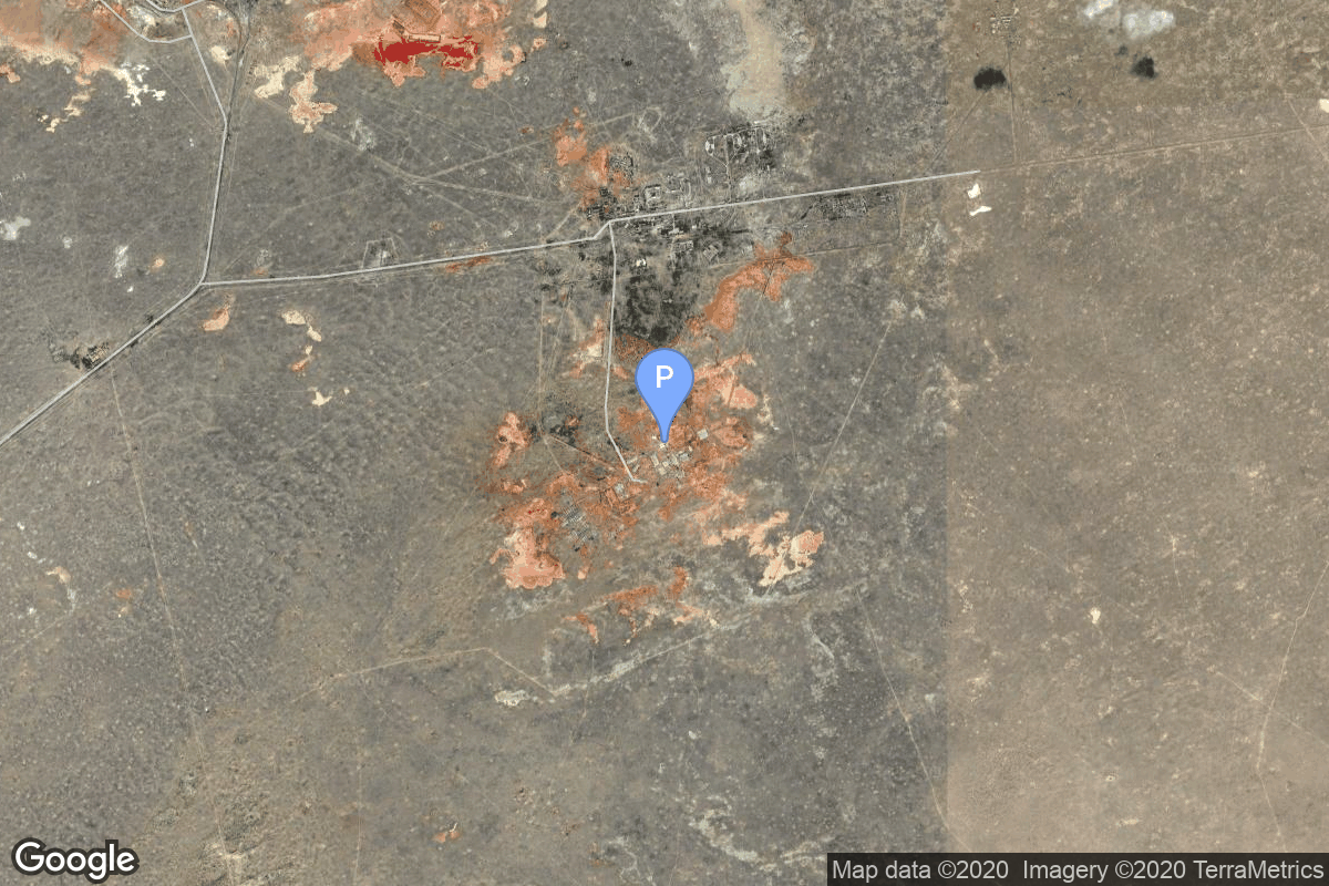
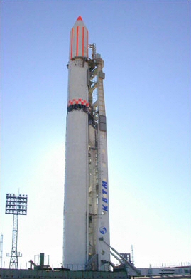
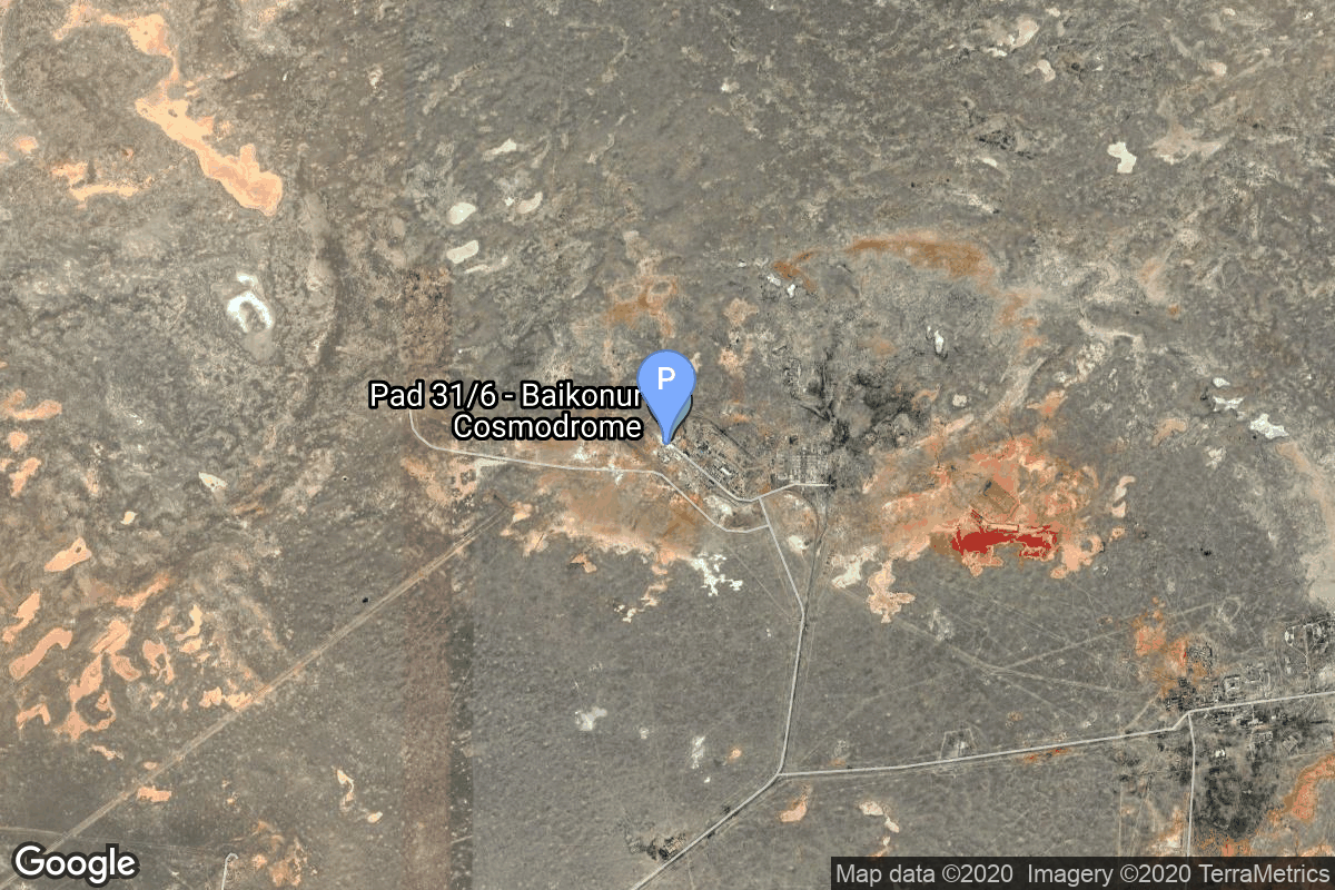
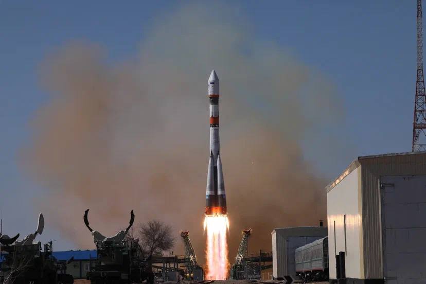
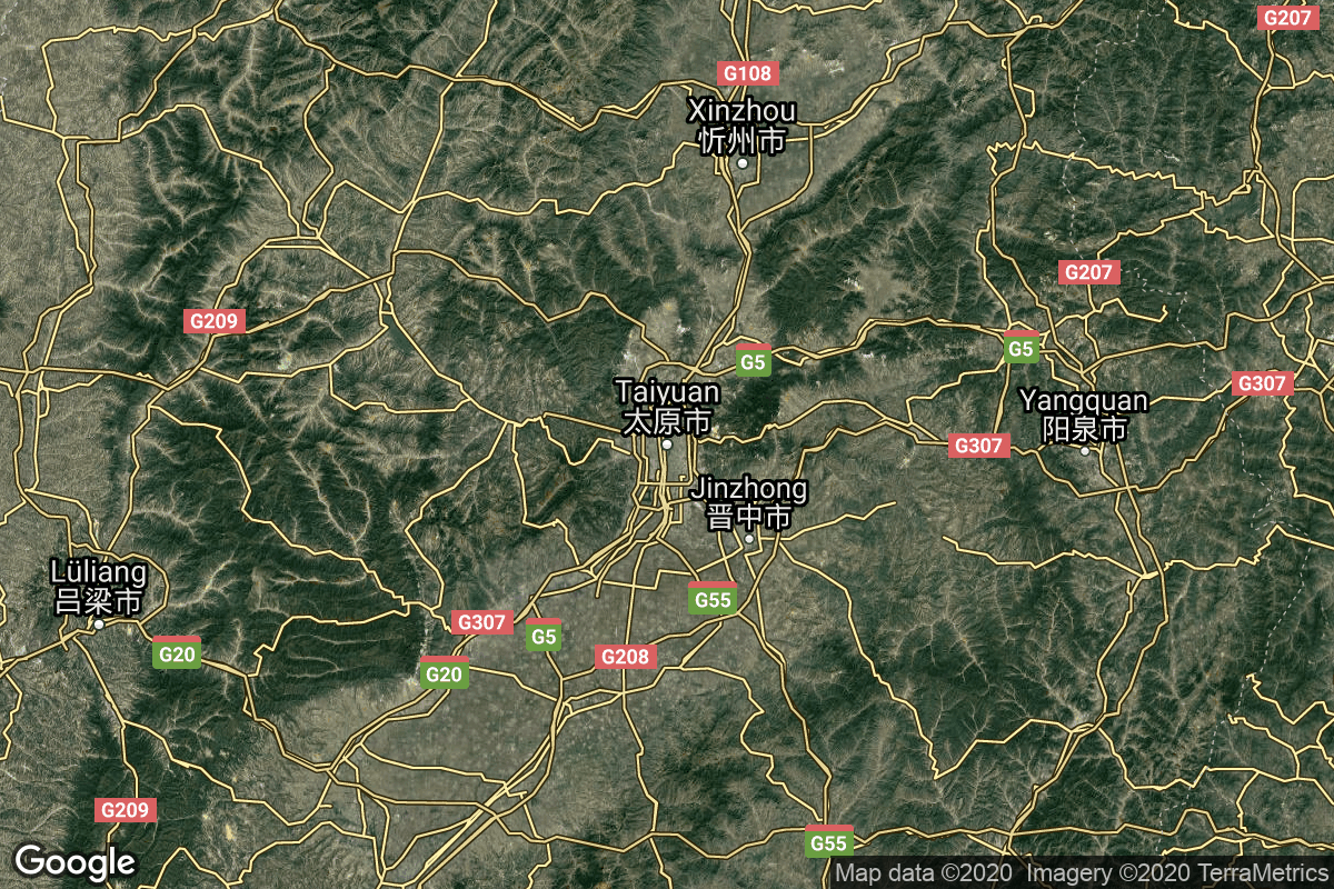
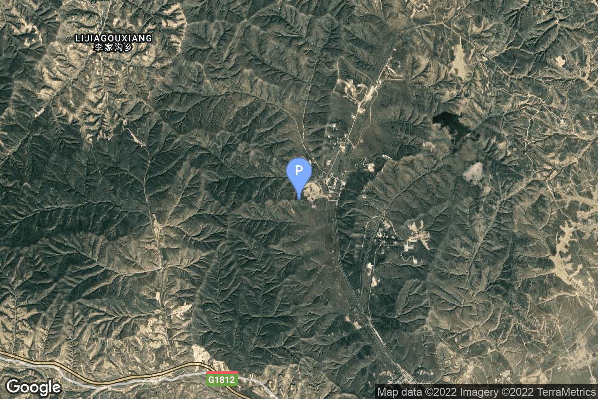
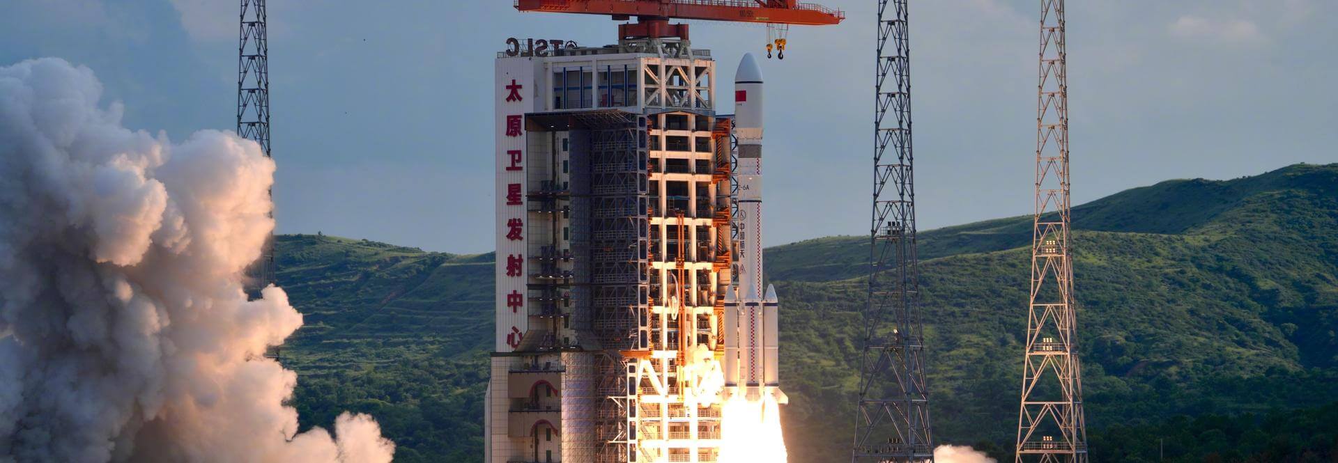
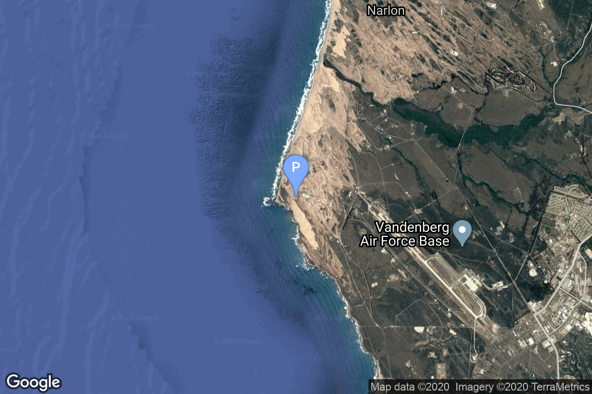
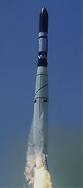
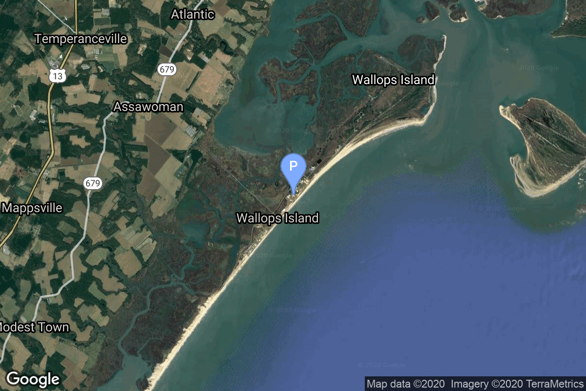
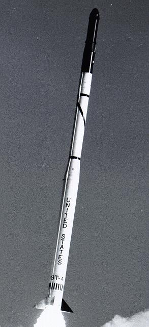
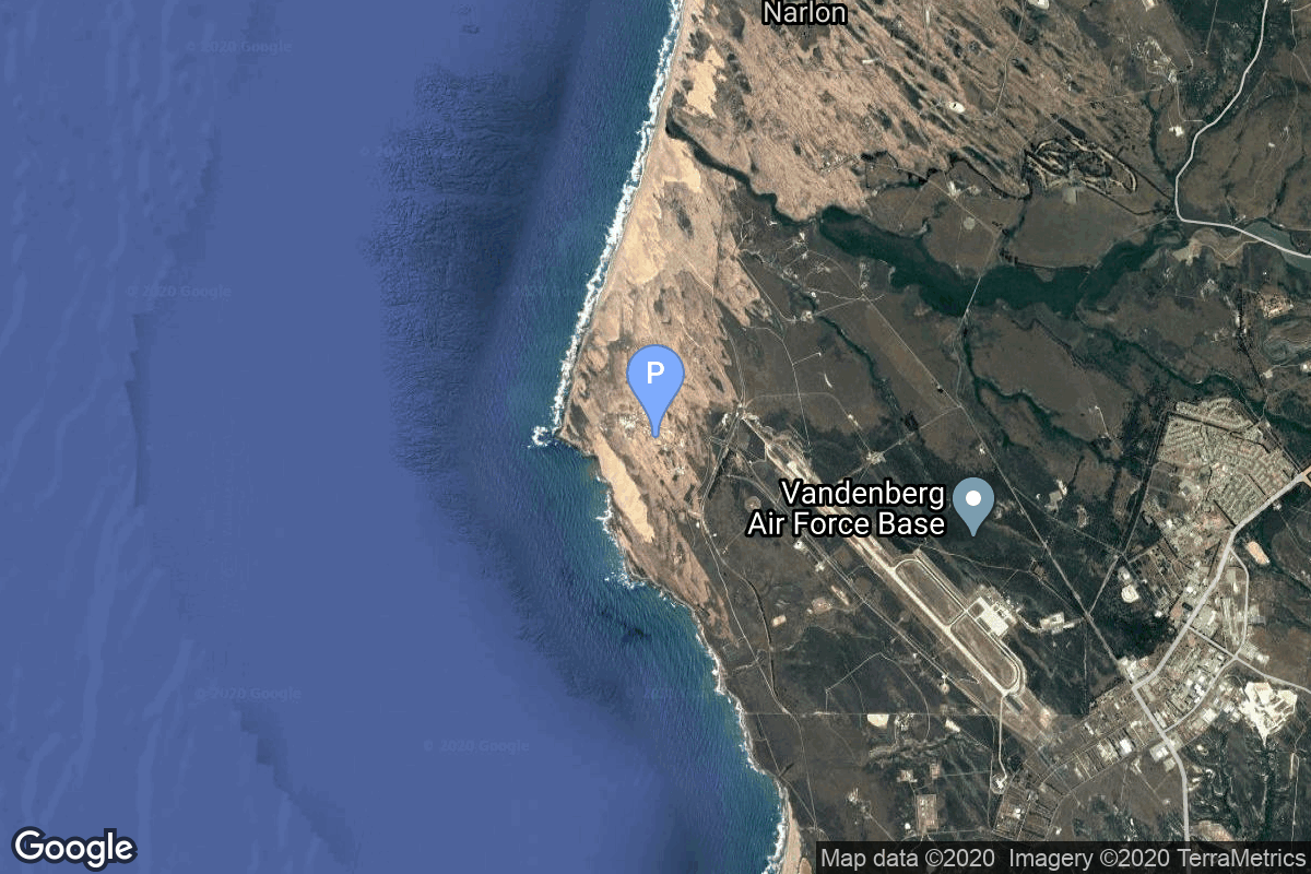
{ "count": 7930, "next": "https://ll.thespacedevs.com/2.0.0/launch/?format=api&limit=10&offset=7300&ordering=id", "previous": "https://ll.thespacedevs.com/2.0.0/launch/?format=api&limit=10&offset=7280&ordering=id", "results": [ { "id": "eab02191-d36e-49e0-bdf1-f4dd5417d443", "url": "https://ll.thespacedevs.com/2.0.0/launch/eab02191-d36e-49e0-bdf1-f4dd5417d443/?format=api", "launch_library_id": null, "slug": "zenit-2-tselina-2-17", "name": "Zenit-2 | Tselina-2 17", "status": { "id": 3, "name": "Success" }, "net": "1995-10-31T20:19:00Z", "window_end": "1995-10-31T20:19:00Z", "window_start": "1995-10-31T20:19:00Z", "inhold": false, "tbdtime": false, "tbddate": false, "probability": null, "holdreason": "", "failreason": null, "hashtag": null, "launch_service_provider": { "id": 63, "url": "https://ll.thespacedevs.com/2.0.0/agencies/63/?format=api", "name": "Russian Federal Space Agency (ROSCOSMOS)", "type": "Government" }, "rocket": { "id": 6690, "configuration": { "id": 455, "launch_library_id": null, "url": "https://ll.thespacedevs.com/2.0.0/config/launcher/455/?format=api", "name": "Zenit-2", "family": "Zenith", "full_name": "Zenit-2", "variant": "2" } }, "mission": { "id": 5080, "launch_library_id": null, "name": "Tselina-2 17", "description": "Second generation ELING satellite", "launch_designator": null, "type": "Government/Top Secret", "orbit": { "id": 8, "name": "Low Earth Orbit", "abbrev": "LEO" } }, "pad": { "id": 2, "url": "https://ll.thespacedevs.com/2.0.0/pad/2/?format=api", "agency_id": null, "name": "45/1", "info_url": null, "wiki_url": "", "map_url": "https://www.google.com/maps?q=45.943492,63.653014", "latitude": "45.943492", "longitude": "63.653014", "location": { "id": 15, "url": "https://ll.thespacedevs.com/2.0.0/location/15/?format=api", "name": "Baikonur Cosmodrome, Republic of Kazakhstan", "country_code": "KAZ", "map_image": "https://thespacedevs-prod.nyc3.digitaloceanspaces.com/media/map_images/location_15_20200803142517.jpg", "total_launch_count": 1564, "total_landing_count": 0 }, "map_image": "https://thespacedevs-prod.nyc3.digitaloceanspaces.com/media/map_images/pad_2_20200803143256.jpg", "total_launch_count": 47 }, "webcast_live": false, "image": "https://thespacedevs-prod.nyc3.digitaloceanspaces.com/media/images/zenit-2_image_20251104090154.jpg", "infographic": null, "program": [] }, { "id": "eab593aa-ba0b-4191-91b4-406b22ad8d74", "url": "https://ll.thespacedevs.com/2.0.0/launch/eab593aa-ba0b-4191-91b4-406b22ad8d74/?format=api", "launch_library_id": 1676, "slug": "soyuz-21b-resurs-p-no4", "name": "Soyuz 2.1b | Resurs-P No.4", "status": { "id": 3, "name": "Success" }, "net": "2024-03-31T09:36:45Z", "window_end": "2024-03-31T09:36:45Z", "window_start": "2024-03-31T09:36:45Z", "inhold": false, "tbdtime": false, "tbddate": false, "probability": null, "holdreason": "", "failreason": "", "hashtag": null, "launch_service_provider": { "id": 63, "url": "https://ll.thespacedevs.com/2.0.0/agencies/63/?format=api", "name": "Russian Federal Space Agency (ROSCOSMOS)", "type": "Government" }, "rocket": { "id": 2202, "configuration": { "id": 15, "launch_library_id": 3, "url": "https://ll.thespacedevs.com/2.0.0/config/launcher/15/?format=api", "name": "Soyuz 2.1b", "family": "Soyuz", "full_name": "Soyuz 2.1b", "variant": "" } }, "mission": { "id": 6563, "launch_library_id": null, "name": "Resurs-P No.4", "description": "Resurs-P is a series of Russian commercial Earth observation satellites capable of acquiring high-resolution imagery (resolution up to 1.0 m).", "launch_designator": null, "type": "Earth Science", "orbit": { "id": 17, "name": "Sun-Synchronous Orbit", "abbrev": "SSO" } }, "pad": { "id": 20, "url": "https://ll.thespacedevs.com/2.0.0/pad/20/?format=api", "agency_id": null, "name": "31/6", "info_url": null, "wiki_url": "https://en.wikipedia.org/wiki/Baikonur_Cosmodrome_Site_31", "map_url": "https://www.google.com/maps?q=45.996034,63.564003", "latitude": "45.996034", "longitude": "63.564003", "location": { "id": 15, "url": "https://ll.thespacedevs.com/2.0.0/location/15/?format=api", "name": "Baikonur Cosmodrome, Republic of Kazakhstan", "country_code": "KAZ", "map_image": "https://thespacedevs-prod.nyc3.digitaloceanspaces.com/media/map_images/location_15_20200803142517.jpg", "total_launch_count": 1564, "total_landing_count": 0 }, "map_image": "https://thespacedevs-prod.nyc3.digitaloceanspaces.com/media/map_images/pad_20_20200803143516.jpg", "total_launch_count": 429 }, "webcast_live": false, "image": "https://thespacedevs-prod.nyc3.digitaloceanspaces.com/media/images/soyuz_2.1b_lift_image_20240331153244.jpg", "infographic": null, "program": [] }, { "id": "eac0eb9a-98c4-4660-a168-be5ec4e8ba4b", "url": "https://ll.thespacedevs.com/2.0.0/launch/eac0eb9a-98c4-4660-a168-be5ec4e8ba4b/?format=api", "launch_library_id": null, "slug": "long-march-6a-yaogan-50-01", "name": "Long March 6A | Yaogan 50-01", "status": { "id": 3, "name": "Success" }, "net": "2026-01-13T14:16:00Z", "window_end": "2026-01-13T14:27:00Z", "window_start": "2026-01-13T14:06:00Z", "inhold": false, "tbdtime": false, "tbddate": false, "probability": null, "holdreason": "", "failreason": "", "hashtag": null, "launch_service_provider": { "id": 88, "url": "https://ll.thespacedevs.com/2.0.0/agencies/88/?format=api", "name": "China Aerospace Science and Technology Corporation", "type": "Government" }, "rocket": { "id": 8887, "configuration": { "id": 478, "launch_library_id": null, "url": "https://ll.thespacedevs.com/2.0.0/config/launcher/478/?format=api", "name": "Long March 6A", "family": "Long March", "full_name": "Long March 6A", "variant": "A" } }, "mission": { "id": 7478, "launch_library_id": null, "name": "Yaogan 50-01", "description": "The Yaogan 50-01 is a Chinese military “remote sensing” satellite of unknown purposes.", "launch_designator": null, "type": "Government/Top Secret", "orbit": { "id": 8, "name": "Low Earth Orbit", "abbrev": "LEO" } }, "pad": { "id": 200, "url": "https://ll.thespacedevs.com/2.0.0/pad/200/?format=api", "agency_id": null, "name": "Launch Complex 9A", "info_url": null, "wiki_url": null, "map_url": "https://www.google.com/maps?q=38.8583,111.5802", "latitude": "38.8583", "longitude": "111.5802", "location": { "id": 19, "url": "https://ll.thespacedevs.com/2.0.0/location/19/?format=api", "name": "Taiyuan Satellite Launch Center, People's Republic of China", "country_code": "CHN", "map_image": "https://thespacedevs-prod.nyc3.digitaloceanspaces.com/media/map_images/location_19_20200803142421.jpg", "total_launch_count": 157, "total_landing_count": 0 }, "map_image": "https://thespacedevs-prod.nyc3.digitaloceanspaces.com/media/map_images/pad_launch_complex_9a_20220330003717.jpg", "total_launch_count": 26 }, "webcast_live": false, "image": "https://thespacedevs-prod.nyc3.digitaloceanspaces.com/media/images/long_march_6a__image_20251209050223.jpeg", "infographic": null, "program": [] }, { "id": "eac35a64-6f93-4b7b-a4f1-6673ae3885c1", "url": "https://ll.thespacedevs.com/2.0.0/launch/eac35a64-6f93-4b7b-a4f1-6673ae3885c1/?format=api", "launch_library_id": null, "slug": "thor-slv-2-agena-d-dsap-1-f8-f9", "name": "Thor SLV-2 Agena D | DSAP-1 F8 & F9", "status": { "id": 3, "name": "Success" }, "net": "1964-06-18T04:56:08Z", "window_end": "1964-06-18T04:56:08Z", "window_start": "1964-06-18T04:56:08Z", "inhold": false, "tbdtime": false, "tbddate": false, "probability": null, "holdreason": "", "failreason": null, "hashtag": null, "launch_service_provider": { "id": 161, "url": "https://ll.thespacedevs.com/2.0.0/agencies/161/?format=api", "name": "United States Air Force", "type": "Government" }, "rocket": { "id": 3287, "configuration": { "id": 415, "launch_library_id": null, "url": "https://ll.thespacedevs.com/2.0.0/config/launcher/415/?format=api", "name": "Thor SLV-2 Agena D", "family": "Thor", "full_name": "Thor SLV-2 Agena D", "variant": "SLV-2 Agena D" } }, "mission": { "id": 1709, "launch_library_id": null, "name": "DSAP-1 F8 & F9", "description": "The DSAP-1 (Defense Satellite Application Program Block 1) satellites series, also known as P-35, was the first series of military meteorologal satellites of the USA.", "launch_designator": null, "type": "Government/Top Secret", "orbit": { "id": 17, "name": "Sun-Synchronous Orbit", "abbrev": "SSO" } }, "pad": { "id": 95, "url": "https://ll.thespacedevs.com/2.0.0/pad/95/?format=api", "agency_id": 161, "name": "Space Launch Complex 1W", "info_url": null, "wiki_url": "https://en.wikipedia.org/wiki/Vandenberg_Space_Launch_Complex_1", "map_url": "https://www.google.com/maps?q=34.7572,-120.6303", "latitude": "34.7572", "longitude": "-120.6303", "location": { "id": 11, "url": "https://ll.thespacedevs.com/2.0.0/location/11/?format=api", "name": "Vandenberg SFB, CA, USA", "country_code": "USA", "map_image": "https://thespacedevs-prod.nyc3.digitaloceanspaces.com/media/map_images/location_11_20200803142416.jpg", "total_launch_count": 900, "total_landing_count": 35 }, "map_image": "https://thespacedevs-prod.nyc3.digitaloceanspaces.com/media/map_images/pad_95_20200803143209.jpg", "total_launch_count": 56 }, "webcast_live": false, "image": "https://thespacedevs-prod.nyc3.digitaloceanspaces.com/media/images/thor-dm21_agena_image_20251109064525.png", "infographic": null, "program": [] }, { "id": "eac7f345-ba58-4629-8757-aca1d081a6fb", "url": "https://ll.thespacedevs.com/2.0.0/launch/eac7f345-ba58-4629-8757-aca1d081a6fb/?format=api", "launch_library_id": 1856, "slug": "scout-x-1-explorer-13", "name": "Scout X-1 | Explorer 13", "status": { "id": 4, "name": "Failure" }, "net": "1961-08-25T18:29:44Z", "window_end": "1961-08-25T18:29:44Z", "window_start": "1961-08-25T18:29:44Z", "inhold": false, "tbdtime": false, "tbddate": false, "probability": 0, "holdreason": "", "failreason": "", "hashtag": "", "launch_service_provider": { "id": 44, "url": "https://ll.thespacedevs.com/2.0.0/agencies/44/?format=api", "name": "National Aeronautics and Space Administration", "type": "Government" }, "rocket": { "id": 2389, "configuration": { "id": 185, "launch_library_id": 208, "url": "https://ll.thespacedevs.com/2.0.0/config/launcher/185/?format=api", "name": "Scout X-1", "family": "Scout", "full_name": "Scout X-1", "variant": "X-1" } }, "mission": null, "pad": { "id": 94, "url": "https://ll.thespacedevs.com/2.0.0/pad/94/?format=api", "agency_id": 44, "name": "Launch Area 3", "info_url": null, "wiki_url": "", "map_url": "https://www.google.com/maps?q=37.8495,-75.4725", "latitude": "37.8495", "longitude": "-75.4725", "location": { "id": 21, "url": "https://ll.thespacedevs.com/2.0.0/location/21/?format=api", "name": "Wallops Flight Facility, Virginia, USA", "country_code": "USA", "map_image": "https://thespacedevs-prod.nyc3.digitaloceanspaces.com/media/map_images/location_21_20200803142423.jpg", "total_launch_count": 87, "total_landing_count": 0 }, "map_image": "https://thespacedevs-prod.nyc3.digitaloceanspaces.com/media/map_images/pad_94_20200803143206.jpg", "total_launch_count": 13 }, "webcast_live": false, "image": "https://thespacedevs-prod.nyc3.digitaloceanspaces.com/media/images/scout2520x-1_image_20190324192636.jpeg", "infographic": null, "program": [] }, { "id": "eac8935e-3e40-47a9-8f02-f6a8ac98460d", "url": "https://ll.thespacedevs.com/2.0.0/launch/eac8935e-3e40-47a9-8f02-f6a8ac98460d/?format=api", "launch_library_id": null, "slug": "delta-ii-quickbird-2", "name": "Delta II | QuickBird 2", "status": { "id": 3, "name": "Success" }, "net": "2001-10-18T18:51:26Z", "window_end": "2001-10-18T18:51:26Z", "window_start": "2001-10-18T18:51:26Z", "inhold": false, "tbdtime": false, "tbddate": false, "probability": null, "holdreason": "", "failreason": null, "hashtag": null, "launch_service_provider": { "id": 161, "url": "https://ll.thespacedevs.com/2.0.0/agencies/161/?format=api", "name": "United States Air Force", "type": "Government" }, "rocket": { "id": 7063, "configuration": { "id": 88, "launch_library_id": 107, "url": "https://ll.thespacedevs.com/2.0.0/config/launcher/88/?format=api", "name": "Delta II", "family": "Delta", "full_name": "Delta II 7320", "variant": "7320" } }, "mission": { "id": 5452, "launch_library_id": null, "name": "QuickBird 2", "description": "The QuickBird commercial imaging satellite was owned by DigitalGlobe (formerly EarthWatch) and used a Ball BCP2000 bus with a launch mass of 1028 kg and a dry mass of about 995 kg.", "launch_designator": null, "type": "Earth Science", "orbit": { "id": 8, "name": "Low Earth Orbit", "abbrev": "LEO" } }, "pad": { "id": 39, "url": "https://ll.thespacedevs.com/2.0.0/pad/39/?format=api", "agency_id": null, "name": "Space Launch Complex 2W", "info_url": null, "wiki_url": "https://en.wikipedia.org/wiki/Vandenberg_Space_Launch_Complex_2", "map_url": "https://www.google.com/maps?q=34.7556,-120.6224", "latitude": "34.7556", "longitude": "-120.6224", "location": { "id": 11, "url": "https://ll.thespacedevs.com/2.0.0/location/11/?format=api", "name": "Vandenberg SFB, CA, USA", "country_code": "USA", "map_image": "https://thespacedevs-prod.nyc3.digitaloceanspaces.com/media/map_images/location_11_20200803142416.jpg", "total_launch_count": 900, "total_landing_count": 35 }, "map_image": "https://thespacedevs-prod.nyc3.digitaloceanspaces.com/media/map_images/pad_39_20200803143542.jpg", "total_launch_count": 99 }, "webcast_live": false, "image": null, "infographic": null, "program": [] }, { "id": "eadc2278-5985-41c5-8746-c21f2716ae13", "url": "https://ll.thespacedevs.com/2.0.0/launch/eadc2278-5985-41c5-8746-c21f2716ae13/?format=api", "launch_library_id": null, "slug": "spaceshiptwo-vss-enterprise-gf07", "name": "SpaceShipTwo | VSS Enterprise GF07", "status": { "id": 3, "name": "Success" }, "net": "2011-05-04T12:00:00Z", "window_end": "2011-05-04T12:00:00Z", "window_start": "2011-05-04T12:00:00Z", "inhold": false, "tbdtime": false, "tbddate": false, "probability": null, "holdreason": "", "failreason": "", "hashtag": null, "launch_service_provider": { "id": 1024, "url": "https://ll.thespacedevs.com/2.0.0/agencies/1024/?format=api", "name": "Virgin Galactic", "type": "Private" }, "rocket": { "id": 2899, "configuration": { "id": 465, "launch_library_id": null, "url": "https://ll.thespacedevs.com/2.0.0/config/launcher/465/?format=api", "name": "SpaceShipTwo", "family": "", "full_name": "SpaceShipTwo", "variant": "" } }, "mission": { "id": 1316, "launch_library_id": null, "name": "VSS Enterprise GF07", "description": "Free glide test flight of VSS Enterprise.", "launch_designator": null, "type": "Test Flight", "orbit": { "id": 15, "name": "Suborbital", "abbrev": "Sub" } }, "pad": { "id": 190, "url": "https://ll.thespacedevs.com/2.0.0/pad/190/?format=api", "agency_id": 1024, "name": "Mojave Air and Space Port", "info_url": "https://www.mojaveairport.com/", "wiki_url": "https://en.wikipedia.org/wiki/Mojave_Air_and_Space_Port", "map_url": "https://www.google.com/maps?q=35.0594444,-118.1538607", "latitude": "35.0594444", "longitude": "-118.1538607", "location": { "id": 144, "url": "https://ll.thespacedevs.com/2.0.0/location/144/?format=api", "name": "Air launch to Suborbital flight", "country_code": "???", "map_image": "https://thespacedevs-prod.nyc3.digitaloceanspaces.com/media/map_images/location_144_20200803142439.jpg", "total_launch_count": 86, "total_landing_count": 0 }, "map_image": "https://thespacedevs-prod.nyc3.digitaloceanspaces.com/media/map_images/pad_190_20210522160913.jpg", "total_launch_count": 53 }, "webcast_live": false, "image": "https://thespacedevs-prod.nyc3.digitaloceanspaces.com/media/images/spaceshiptwo_image_20210522140909.jpeg", "infographic": null, "program": [] }, { "id": "eae032be-8f40-4f96-92bb-62abd92e5827", "url": "https://ll.thespacedevs.com/2.0.0/launch/eae032be-8f40-4f96-92bb-62abd92e5827/?format=api", "launch_library_id": null, "slug": "titan-ii-slv-p-11-5105", "name": "Titan II SLV | P-11 5105", "status": { "id": 3, "name": "Success" }, "net": "1992-04-25T08:53:00Z", "window_end": "1992-04-25T08:53:00Z", "window_start": "1992-04-25T08:53:00Z", "inhold": false, "tbdtime": false, "tbddate": false, "probability": null, "holdreason": "", "failreason": null, "hashtag": null, "launch_service_provider": { "id": 161, "url": "https://ll.thespacedevs.com/2.0.0/agencies/161/?format=api", "name": "United States Air Force", "type": "Government" }, "rocket": { "id": 6434, "configuration": { "id": 436, "launch_library_id": null, "url": "https://ll.thespacedevs.com/2.0.0/config/launcher/436/?format=api", "name": "Titan II SLV", "family": "Titan", "full_name": "Titan II SLV", "variant": "23G" } }, "mission": { "id": 4824, "launch_library_id": null, "name": "P-11 5105", "description": "Low orbit ELINT/SIGINT satellite", "launch_designator": null, "type": "Government/Top Secret", "orbit": { "id": 8, "name": "Low Earth Orbit", "abbrev": "LEO" } }, "pad": { "id": 156, "url": "https://ll.thespacedevs.com/2.0.0/pad/156/?format=api", "agency_id": null, "name": "Space Launch Complex 4W", "info_url": "https://www.astronautix.com/v/vandenbergslc4w.html", "wiki_url": "https://en.wikipedia.org/wiki/Vandenberg_Air_Force_Base_Space_Launch_Complex_4#SLC-4W", "map_url": "https://www.google.com/maps?q=34.63312,-120.61584", "latitude": "34.63312", "longitude": "-120.61584", "location": { "id": 11, "url": "https://ll.thespacedevs.com/2.0.0/location/11/?format=api", "name": "Vandenberg SFB, CA, USA", "country_code": "USA", "map_image": "https://thespacedevs-prod.nyc3.digitaloceanspaces.com/media/map_images/location_11_20200803142416.jpg", "total_launch_count": 900, "total_landing_count": 35 }, "map_image": "https://thespacedevs-prod.nyc3.digitaloceanspaces.com/media/map_images/pad_156_20200803143351.jpg", "total_launch_count": 93 }, "webcast_live": false, "image": "https://thespacedevs-prod.nyc3.digitaloceanspaces.com/media/images/titan_ii_slv_image_20231231110038.jpeg", "infographic": null, "program": [] }, { "id": "eae0a45d-fd6c-49e4-9816-dd7d3975712e", "url": "https://ll.thespacedevs.com/2.0.0/launch/eae0a45d-fd6c-49e4-9816-dd7d3975712e/?format=api", "launch_library_id": null, "slug": "zenit-demosat", "name": "Zenit | DemoSat", "status": { "id": 3, "name": "Success" }, "net": "1999-03-28T01:29:59Z", "window_end": "1999-03-28T01:29:59Z", "window_start": "1999-03-28T01:29:59Z", "inhold": false, "tbdtime": false, "tbddate": false, "probability": null, "holdreason": "", "failreason": null, "hashtag": null, "launch_service_provider": { "id": 122, "url": "https://ll.thespacedevs.com/2.0.0/agencies/122/?format=api", "name": "Sea Launch", "type": "Commercial" }, "rocket": { "id": 6908, "configuration": { "id": 11, "launch_library_id": 12, "url": "https://ll.thespacedevs.com/2.0.0/config/launcher/11/?format=api", "name": "Zenit", "family": "Zenith", "full_name": "Zenit 3SL", "variant": "3SL" } }, "mission": { "id": 5298, "launch_library_id": null, "name": "DemoSat", "description": "DemoSat was the dummy payload on the first Boeing Sea Launch mission. The Zenit-3SL booster rocket lifted off from the Odyssey floating platform on the equator at 154 degrees W longitude.", "launch_designator": null, "type": "Test Flight", "orbit": { "id": 0, "name": "Elliptical Orbit", "abbrev": "Elliptical" } }, "pad": { "id": 13, "url": "https://ll.thespacedevs.com/2.0.0/pad/13/?format=api", "agency_id": 80, "name": "Launch Platform Odyssey", "info_url": null, "wiki_url": "https://en.wikipedia.org/wiki/Odyssey_(launch_platform)", "map_url": "https://www.google.com/maps?q=0.0,-154", "latitude": "0.0", "longitude": "-154.0", "location": { "id": 3, "url": "https://ll.thespacedevs.com/2.0.0/location/3/?format=api", "name": "Sea Launch", "country_code": "???", "map_image": "https://thespacedevs-prod.nyc3.digitaloceanspaces.com/media/map_images/location_3_20200803142448.jpg", "total_launch_count": 40, "total_landing_count": 0 }, "map_image": "https://thespacedevs-prod.nyc3.digitaloceanspaces.com/media/map_images/pad_13_20200803143257.jpg", "total_launch_count": 36 }, "webcast_live": false, "image": null, "infographic": null, "program": [] }, { "id": "eae177d1-3de8-4a21-ad79-fe21afac4f04", "url": "https://ll.thespacedevs.com/2.0.0/launch/eae177d1-3de8-4a21-ad79-fe21afac4f04/?format=api", "launch_library_id": null, "slug": "starship-hopper-20m-hop", "name": "Starship Hopper | 20m Hop", "status": { "id": 3, "name": "Success" }, "net": "2019-07-26T03:45:00Z", "window_end": "2019-07-26T03:45:00Z", "window_start": "2019-07-26T03:45:00Z", "inhold": false, "tbdtime": false, "tbddate": false, "probability": null, "holdreason": "", "failreason": "", "hashtag": null, "launch_service_provider": { "id": 121, "url": "https://ll.thespacedevs.com/2.0.0/agencies/121/?format=api", "name": "SpaceX", "type": "Commercial" }, "rocket": { "id": 2747, "configuration": { "id": 207, "launch_library_id": null, "url": "https://ll.thespacedevs.com/2.0.0/config/launcher/207/?format=api", "name": "Starship Prototype", "family": "Starship", "full_name": "Starship Prototype", "variant": "Prototype" } }, "mission": { "id": 1145, "launch_library_id": null, "name": "Starhopper 20m Hop", "description": "The Starhopper test article performed an untethered hop to an altitude of 20m.", "launch_designator": null, "type": "Test Flight", "orbit": { "id": 15, "name": "Suborbital", "abbrev": "Sub" } }, "pad": { "id": 111, "url": "https://ll.thespacedevs.com/2.0.0/pad/111/?format=api", "agency_id": 121, "name": "Suborbital Pad A", "info_url": null, "wiki_url": "https://en.wikipedia.org/wiki/SpaceX_South_Texas_Launch_Site", "map_url": "https://www.google.com/maps?q=25.997116,-97.15503099856647", "latitude": "25.997116", "longitude": "-97.15503099856647", "location": { "id": 143, "url": "https://ll.thespacedevs.com/2.0.0/location/143/?format=api", "name": "SpaceX Starbase, TX, USA", "country_code": "USA", "map_image": "https://thespacedevs-prod.nyc3.digitaloceanspaces.com/media/map_images/location_143_20200803142438.jpg", "total_launch_count": 21, "total_landing_count": 13 }, "map_image": "https://thespacedevs-prod.nyc3.digitaloceanspaces.com/media/map_images/pad_111_20200803143229.jpg", "total_launch_count": 7 }, "webcast_live": false, "image": "https://thespacedevs-prod.nyc3.digitaloceanspaces.com/media/images/starship2520ho_image_20200820191128.png", "infographic": null, "program": [ { "id": 1, "url": "https://ll.thespacedevs.com/2.0.0/program/1/?format=api", "name": "SpaceX Starship", "description": "The SpaceX Starship is a fully reusable super heavy-lift launch vehicle under development by SpaceX since 2012, as a self-funded private spaceflight project. The second stage of the Starship — is designed as a long-duration cargo and passenger-carrying spacecraft. It is expected to be initially used without any booster stage at all, as part of an extensive development program to prove out launch-and-landing and iterate on a variety of design details, particularly with respect to the vehicle's atmospheric reentry.", "agencies": [ { "id": 121, "url": "https://ll.thespacedevs.com/2.0.0/agencies/121/?format=api", "name": "SpaceX", "type": "Commercial" } ], "image_url": "https://thespacedevs-prod.nyc3.digitaloceanspaces.com/media/images/starship_on_the_image_20250111100520.jpg", "start_date": "2019-03-01T05:00:00Z", "end_date": null, "info_url": "https://www.spacex.com/vehicles/starship/", "wiki_url": "https://en.wikipedia.org/wiki/SpaceX_Starship" } ] } ] }