Launch List
API endpoint that returns all Launch objects or a single launch.
EXAMPLE - /launch/
GET: Return a list of all Launch objects.
FILTERS: Fields - 'name', 'id(s)', 'lsp_id', 'lsp_name', 'serial_number', 'launcher_config__id', 'rocket__spacecraftflight__spacecraft__name'
MODE: 'normal', 'list', 'detailed' EXAMPLE: ?mode=list
SEARCH: Searches through the launch name, rocket name, launch agency, mission name & spacecraft name. EXAMPLE - ?search=SpaceX
GET /2.0.0/launch/?format=api&offset=7290&ordering=-id
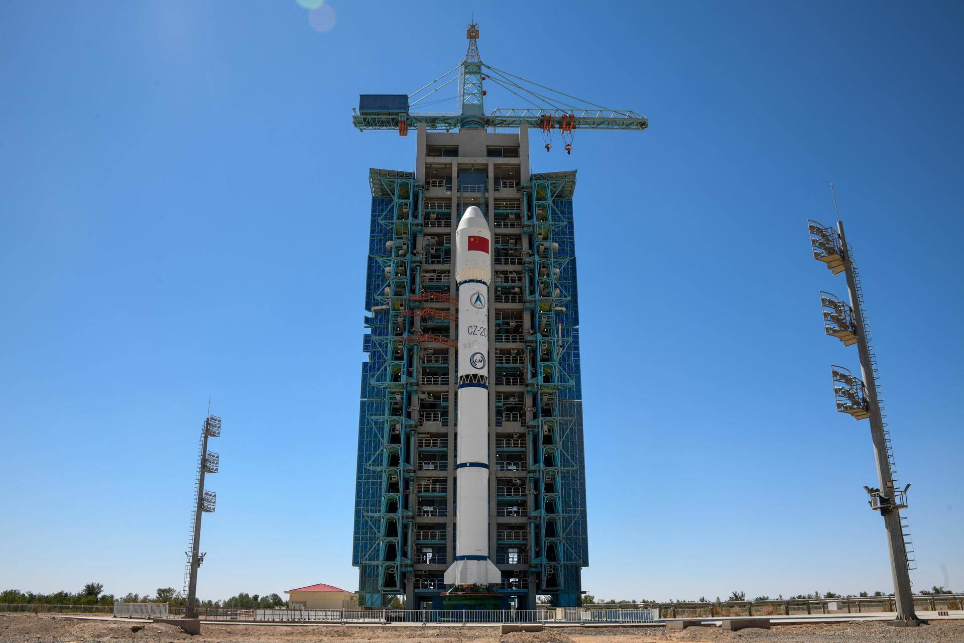
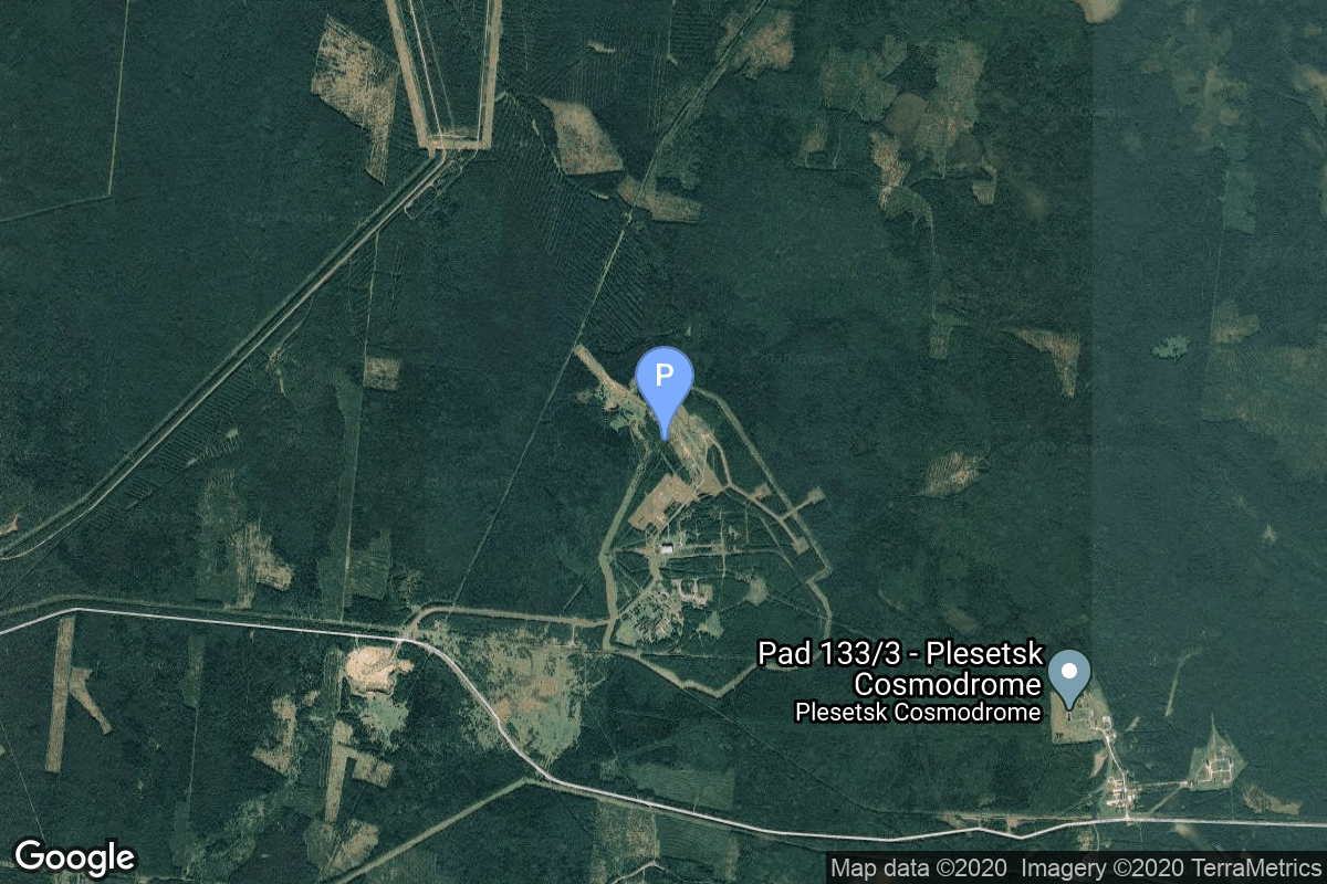
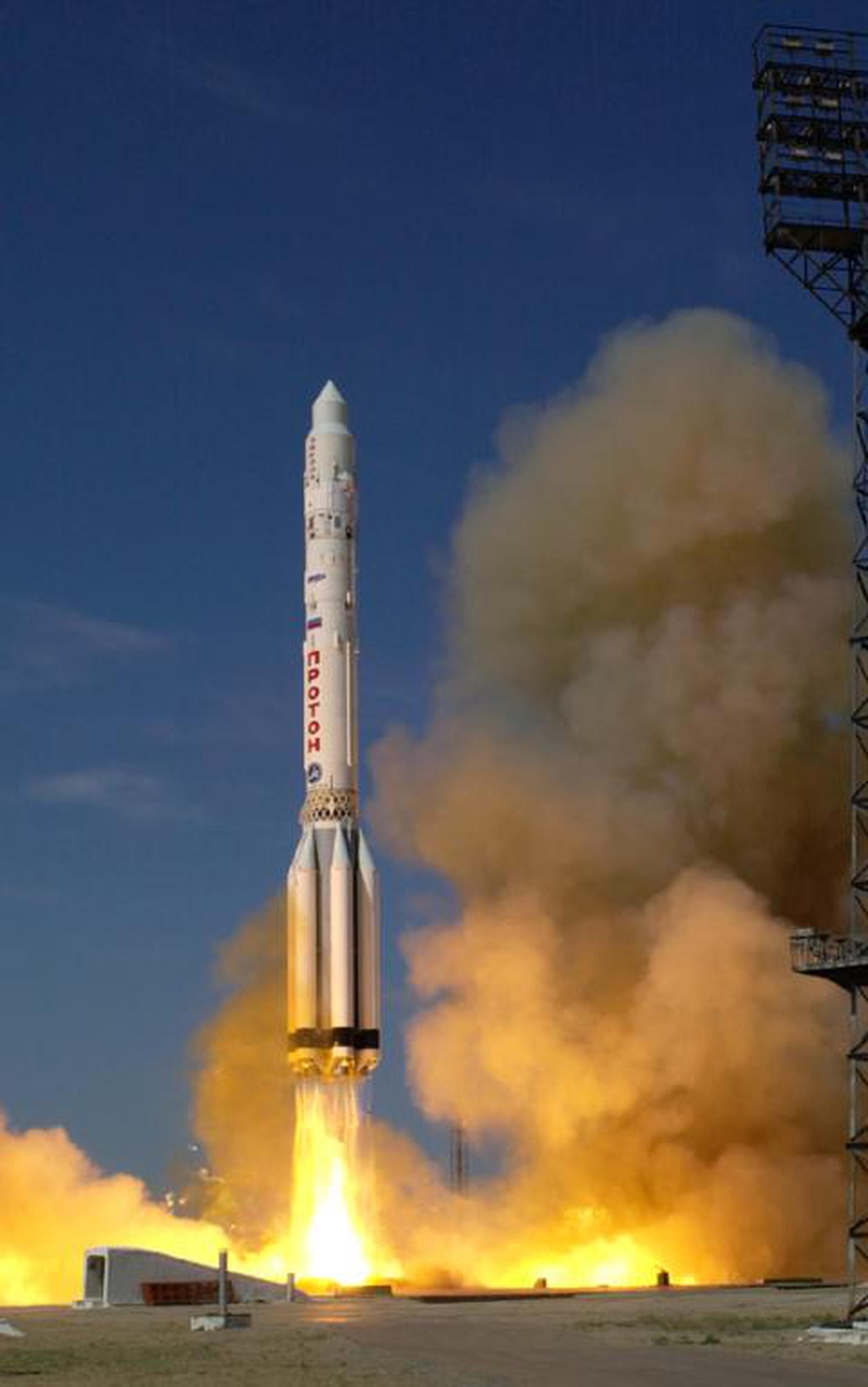
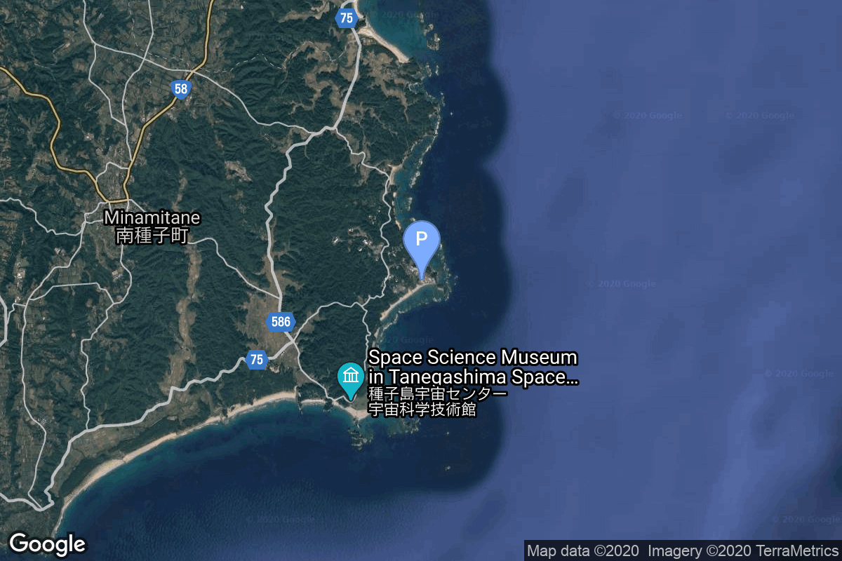
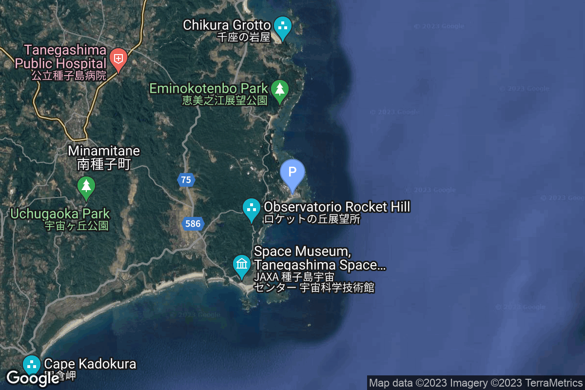
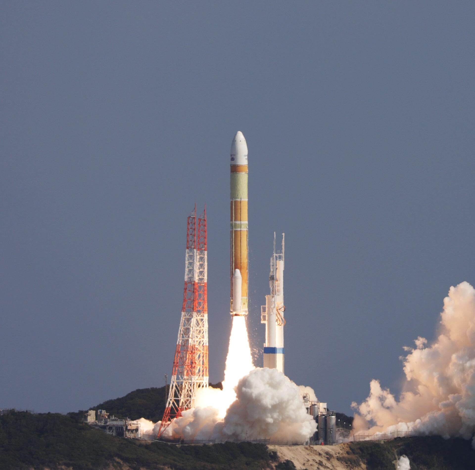
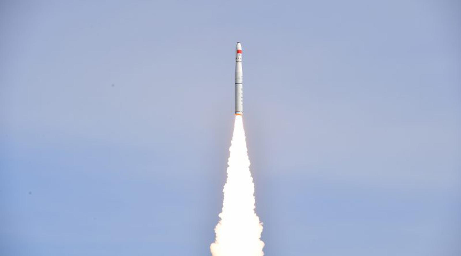
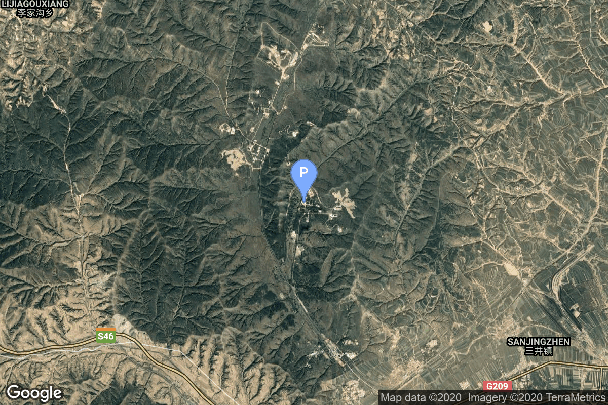
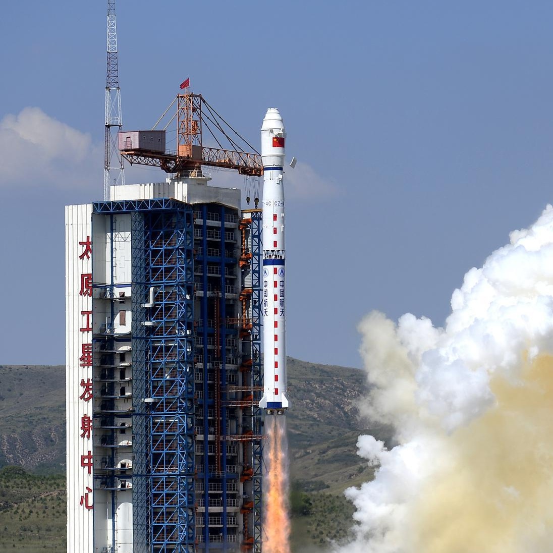
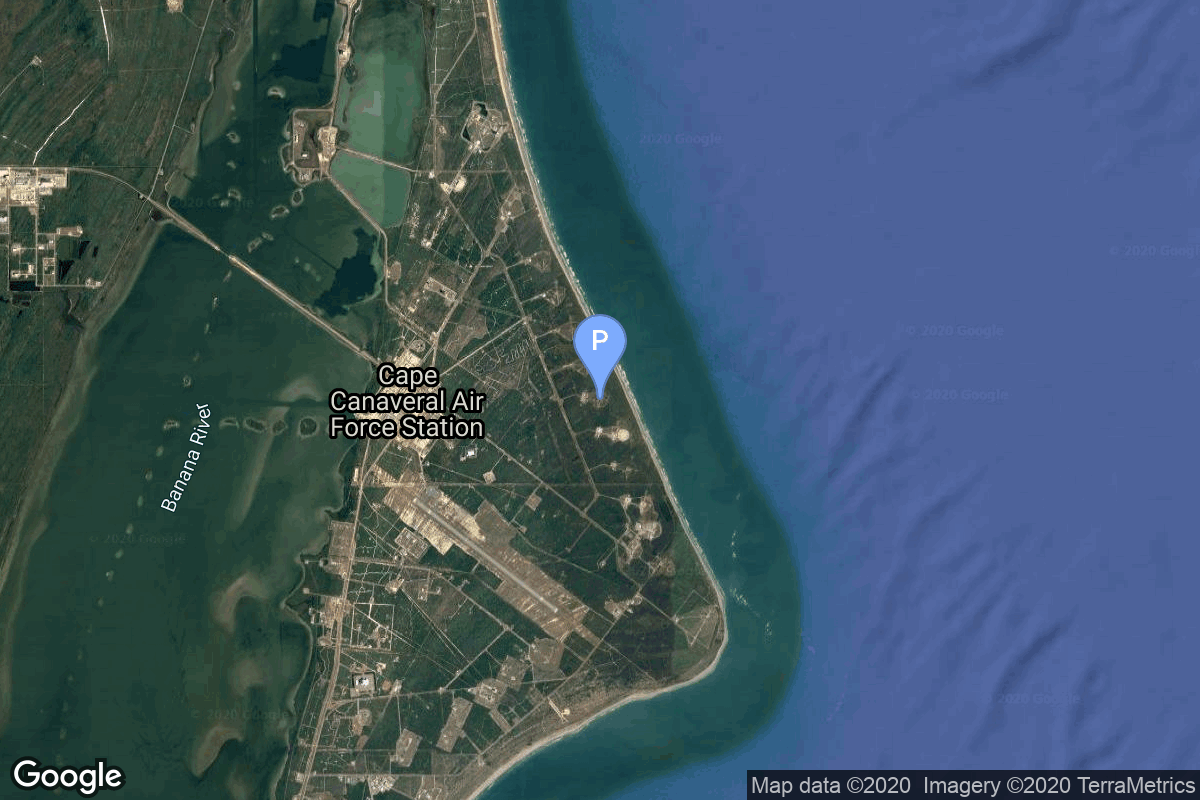
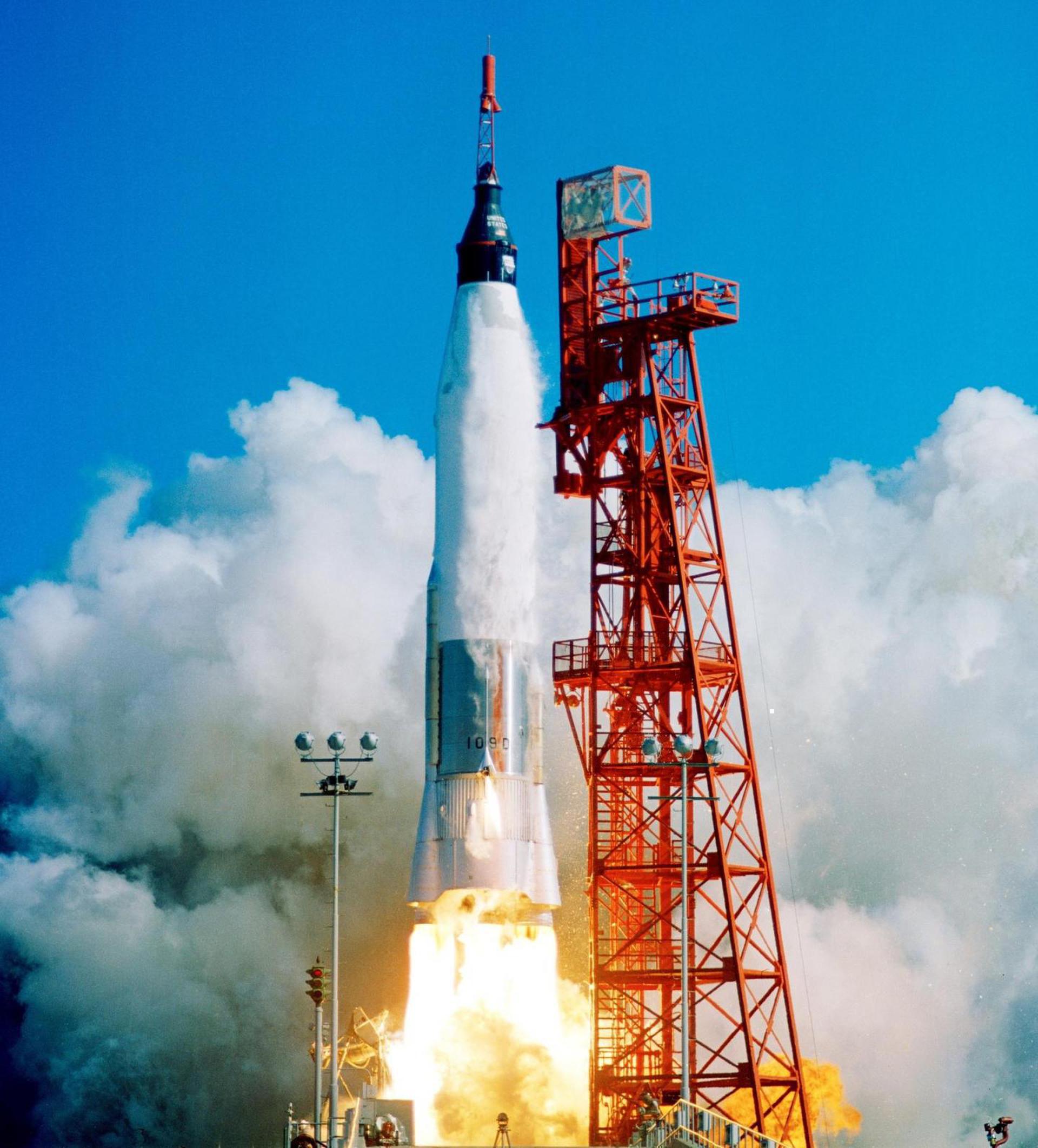
{ "count": 7494, "next": "https://ll.thespacedevs.com/2.0.0/launch/?format=api&limit=10&offset=7300&ordering=-id", "previous": "https://ll.thespacedevs.com/2.0.0/launch/?format=api&limit=10&offset=7280&ordering=-id", "results": [ { "id": "06b51402-8cda-480c-9479-b103bcbf7c92", "url": "https://ll.thespacedevs.com/2.0.0/launch/06b51402-8cda-480c-9479-b103bcbf7c92/?format=api", "launch_library_id": 2051, "slug": "long-march-2c-yaogan-30-06", "name": "Long March 2C | Yaogan-30-06", "status": { "id": 3, "name": "Success" }, "net": "2020-03-24T03:43:05Z", "window_end": "2020-03-24T03:54:00Z", "window_start": "2020-03-24T03:35:00Z", "inhold": false, "tbdtime": false, "tbddate": false, "probability": null, "holdreason": "", "failreason": "", "hashtag": null, "launch_service_provider": { "id": 88, "url": "https://ll.thespacedevs.com/2.0.0/agencies/88/?format=api", "name": "China Aerospace Science and Technology Corporation", "type": "Government" }, "rocket": { "id": 2696, "configuration": { "id": 61, "launch_library_id": 75, "url": "https://ll.thespacedevs.com/2.0.0/config/launcher/61/?format=api", "name": "Long March 2", "family": "Long March", "full_name": "Long March 2C", "variant": "C" } }, "mission": { "id": 1102, "launch_library_id": 1299, "name": "Yaogan-30-06", "description": "The Yaogan 30-01-01 to 30-01-03 (Remote Sensing Satellite-30-01-01 to 30-01-03) satellites, were launched by CZ-2C rocket from China's Xichang space center on 29 September 2017. The purpose is not confirmed, although the news reports hint towards a SIGINT mission, especially to detect ships by their radio emissions. They are also known as CX 5 by the manufacturer.\r\n\r\nThe satellites are spaced by 120° in their orbit.", "launch_designator": null, "type": "Government/Top Secret", "orbit": { "id": 8, "name": "Low Earth Orbit", "abbrev": "LEO" } }, "pad": { "id": 66, "url": "https://ll.thespacedevs.com/2.0.0/pad/66/?format=api", "agency_id": 17, "name": "Launch Complex 3 (LC-3/LA-1)", "info_url": null, "wiki_url": "https://en.wikipedia.org/wiki/Xichang_Satellite_Launch_Center", "map_url": "https://www.google.com/maps?q=28.247209,102.02917", "latitude": "28.247209", "longitude": "102.02917", "location": { "id": 16, "url": "https://ll.thespacedevs.com/2.0.0/location/16/?format=api", "name": "Xichang Satellite Launch Center, People's Republic of China", "country_code": "CHN", "map_image": "https://thespacedevs-prod.nyc3.digitaloceanspaces.com/media/map_images/location_16_20200803142513.jpg", "total_launch_count": 224, "total_landing_count": 0 }, "map_image": "https://thespacedevs-prod.nyc3.digitaloceanspaces.com/media/map_images/pad_66_20200803143611.jpg", "total_launch_count": 99 }, "webcast_live": false, "image": "https://thespacedevs-prod.nyc3.digitaloceanspaces.com/media/images/long_march_2_image_20230803100234.jpeg", "infographic": null, "program": [] }, { "id": "06ac1a8e-42cf-45d8-81cc-28647a0e4a18", "url": "https://ll.thespacedevs.com/2.0.0/launch/06ac1a8e-42cf-45d8-81cc-28647a0e4a18/?format=api", "launch_library_id": null, "slug": "tsiklon-3-strela-3-1-to-6", "name": "Tsiklon-3 | Strela-3 1 to 6", "status": { "id": 3, "name": "Success" }, "net": "1985-01-15T14:50:59Z", "window_end": "1985-01-15T14:50:59Z", "window_start": "1985-01-15T14:50:59Z", "inhold": false, "tbdtime": false, "tbddate": false, "probability": null, "holdreason": "", "failreason": null, "hashtag": null, "launch_service_provider": { "id": 66, "url": "https://ll.thespacedevs.com/2.0.0/agencies/66/?format=api", "name": "Soviet Space Program", "type": "Government" }, "rocket": { "id": 5712, "configuration": { "id": 445, "launch_library_id": null, "url": "https://ll.thespacedevs.com/2.0.0/config/launcher/445/?format=api", "name": "Tsiklon-3", "family": "Tsiklon", "full_name": "Tsiklon-3", "variant": "3" } }, "mission": { "id": 4113, "launch_library_id": null, "name": "Strela-3 1 to 6", "description": "Second generation store-dump military communications satellite", "launch_designator": null, "type": "Government/Top Secret", "orbit": { "id": 8, "name": "Low Earth Orbit", "abbrev": "LEO" } }, "pad": { "id": 126, "url": "https://ll.thespacedevs.com/2.0.0/pad/126/?format=api", "agency_id": 63, "name": "32/1", "info_url": null, "wiki_url": "https://en.wikipedia.org/wiki/Plesetsk_Cosmodrome_Site_32", "map_url": "https://www.google.com/maps?q=62.9063889,40.7844727", "latitude": "62.9063889", "longitude": "40.7844727", "location": { "id": 6, "url": "https://ll.thespacedevs.com/2.0.0/location/6/?format=api", "name": "Plesetsk Cosmodrome, Russian Federation", "country_code": "RUS", "map_image": "https://thespacedevs-prod.nyc3.digitaloceanspaces.com/media/map_images/location_6_20200803142434.jpg", "total_launch_count": 1674, "total_landing_count": 0 }, "map_image": "https://thespacedevs-prod.nyc3.digitaloceanspaces.com/media/map_images/pad_126_20200803143238.jpg", "total_launch_count": 57 }, "webcast_live": false, "image": null, "infographic": null, "program": [] }, { "id": "069c4f86-8c13-4e7d-b2b1-0666417c55f0", "url": "https://ll.thespacedevs.com/2.0.0/launch/069c4f86-8c13-4e7d-b2b1-0666417c55f0/?format=api", "launch_library_id": null, "slug": "proton-priroda", "name": "Proton | Priroda", "status": { "id": 3, "name": "Success" }, "net": "1996-04-23T11:48:50Z", "window_end": "1996-04-23T11:48:50Z", "window_start": "1996-04-23T11:48:50Z", "inhold": false, "tbdtime": false, "tbddate": false, "probability": null, "holdreason": "", "failreason": "", "hashtag": null, "launch_service_provider": { "id": 96, "url": "https://ll.thespacedevs.com/2.0.0/agencies/96/?format=api", "name": "Khrunichev State Research and Production Space Center", "type": "Government" }, "rocket": { "id": 6723, "configuration": { "id": 95, "launch_library_id": 131, "url": "https://ll.thespacedevs.com/2.0.0/config/launcher/95/?format=api", "name": "Proton", "family": "Proton / UR-500", "full_name": "Proton-K", "variant": "K" } }, "mission": { "id": 5113, "launch_library_id": null, "name": "Priroda", "description": "Priroda was the last of the scheduled five Russian modules of the Mir space station complex and was launched from the Baykonur cosmodrome by a Proton-K rocket to dock after 3 days rather than the usual 9 days. The launch itself was 3 days earlier than the planned date in order to facilitate an American microbiology program.", "launch_designator": null, "type": "Human Exploration", "orbit": { "id": 8, "name": "Low Earth Orbit", "abbrev": "LEO" } }, "pad": { "id": 31, "url": "https://ll.thespacedevs.com/2.0.0/pad/31/?format=api", "agency_id": null, "name": "81/23 (81L)", "info_url": null, "wiki_url": "", "map_url": "https://www.google.com/maps?q=46.073997,62.977999", "latitude": "46.073997", "longitude": "62.977999", "location": { "id": 15, "url": "https://ll.thespacedevs.com/2.0.0/location/15/?format=api", "name": "Baikonur Cosmodrome, Republic of Kazakhstan", "country_code": "KAZ", "map_image": "https://thespacedevs-prod.nyc3.digitaloceanspaces.com/media/map_images/location_15_20200803142517.jpg", "total_launch_count": 1555, "total_landing_count": 0 }, "map_image": "https://thespacedevs-prod.nyc3.digitaloceanspaces.com/media/map_images/pad_31_20200803143402.jpg", "total_launch_count": 104 }, "webcast_live": false, "image": "https://thespacedevs-prod.nyc3.digitaloceanspaces.com/media/images/proton_image_20190207032625.jpeg", "infographic": null, "program": [ { "id": 16, "url": "https://ll.thespacedevs.com/2.0.0/program/16/?format=api", "name": "Mir", "description": "Mir was a space station that operated in low Earth orbit from 1986 to 2001, operated by the Soviet Union and later by Russia. Mir was the first modular space station and was assembled in orbit from 1986 to 1996.", "agencies": [ { "id": 63, "url": "https://ll.thespacedevs.com/2.0.0/agencies/63/?format=api", "name": "Russian Federal Space Agency (ROSCOSMOS)", "type": "Government" }, { "id": 66, "url": "https://ll.thespacedevs.com/2.0.0/agencies/66/?format=api", "name": "Soviet Space Program", "type": "Government" } ], "image_url": "https://thespacedevs-prod.nyc3.digitaloceanspaces.com/media/images/mir_program_20200821092345.jpeg", "start_date": "1986-02-20T21:28:23Z", "end_date": "2001-03-23T05:59:00Z", "info_url": null, "wiki_url": "https://en.wikipedia.org/wiki/Mir" } ] }, { "id": "068add9d-67b9-42ef-8baa-ae3cfe511fdb", "url": "https://ll.thespacedevs.com/2.0.0/launch/068add9d-67b9-42ef-8baa-ae3cfe511fdb/?format=api", "launch_library_id": null, "slug": "n-2-himawari-3", "name": "N-2 | Himawari 3", "status": { "id": 3, "name": "Success" }, "net": "1984-08-02T20:30:00Z", "window_end": "1984-08-02T20:30:00Z", "window_start": "1984-08-02T20:30:00Z", "inhold": false, "tbdtime": false, "tbddate": false, "probability": null, "holdreason": "", "failreason": "", "hashtag": null, "launch_service_provider": { "id": 228, "url": "https://ll.thespacedevs.com/2.0.0/agencies/228/?format=api", "name": "National Space Development Agency of Japan", "type": "Government" }, "rocket": { "id": 5664, "configuration": { "id": 341, "launch_library_id": null, "url": "https://ll.thespacedevs.com/2.0.0/config/launcher/341/?format=api", "name": "N-2", "family": "", "full_name": "N-2", "variant": "2" } }, "mission": { "id": 4066, "launch_library_id": null, "name": "Himawari 3", "description": "Japanese geostationary meteorological satellite built by Hughes Space and Communications", "launch_designator": null, "type": "Earth Science", "orbit": { "id": 1, "name": "Geostationary Orbit", "abbrev": "Direct-GEO" } }, "pad": { "id": 10, "url": "https://ll.thespacedevs.com/2.0.0/pad/10/?format=api", "agency_id": 37, "name": "Osaki Launch Complex", "info_url": null, "wiki_url": "https://en.wikipedia.org/wiki/Tanegashima_Space_Center", "map_url": "https://www.google.com/maps?q=30.3993934,130.9702486", "latitude": "30.3993934", "longitude": "130.9702486", "location": { "id": 26, "url": "https://ll.thespacedevs.com/2.0.0/location/26/?format=api", "name": "Tanegashima Space Center, Japan", "country_code": "JPN", "map_image": "https://thespacedevs-prod.nyc3.digitaloceanspaces.com/media/map_images/location_26_20200803142507.jpg", "total_launch_count": 94, "total_landing_count": 0 }, "map_image": "https://thespacedevs-prod.nyc3.digitaloceanspaces.com/media/map_images/pad_10_20200803143519.jpg", "total_launch_count": 24 }, "webcast_live": false, "image": null, "infographic": null, "program": [] }, { "id": "0680d9c6-8b90-405e-bbe0-167cd48e36bb", "url": "https://ll.thespacedevs.com/2.0.0/launch/0680d9c6-8b90-405e-bbe0-167cd48e36bb/?format=api", "launch_library_id": null, "slug": "h3-22-michibiki-6-qzs-6", "name": "H3-22 | Michibiki 6 (QZS-6)", "status": { "id": 3, "name": "Success" }, "net": "2025-02-02T08:30:00Z", "window_end": "2025-02-02T10:30:00Z", "window_start": "2025-02-02T08:30:00Z", "inhold": false, "tbdtime": false, "tbddate": false, "probability": null, "holdreason": "", "failreason": "", "hashtag": null, "launch_service_provider": { "id": 98, "url": "https://ll.thespacedevs.com/2.0.0/agencies/98/?format=api", "name": "Mitsubishi Heavy Industries", "type": "Commercial" }, "rocket": { "id": 7767, "configuration": { "id": 486, "launch_library_id": null, "url": "https://ll.thespacedevs.com/2.0.0/config/launcher/486/?format=api", "name": "H3-22", "family": "H3", "full_name": "H3-22", "variant": "22" } }, "mission": { "id": 6285, "launch_library_id": null, "name": "Michibiki 6 (QZS-6)", "description": "QZSS (Quasi Zenith Satellite System) is a Japanese satellite navigation system operating from inclined, elliptical geosynchronous orbits to achieve optimal high-elevation visibility in urban canyons and mountainous areas. The navigation system objective is to broadcast GPS-interoperable and augmentation signals as well as original Japanese (QZSS) signals from a three-spacecraft constellation.\r\n\r\nThe navigation system objective is to broadcast GPS-interoperable and augmentation signals as well as original Japanese (QZSS) signals from a three-spacecraft constellation in inclined, elliptical geosynchronous orbits.", "launch_designator": null, "type": "Navigation", "orbit": { "id": 2, "name": "Geostationary Transfer Orbit", "abbrev": "GTO" } }, "pad": { "id": 209, "url": "https://ll.thespacedevs.com/2.0.0/pad/209/?format=api", "agency_id": 37, "name": "Yoshinobu Launch Complex LP-2", "info_url": null, "wiki_url": "https://en.wikipedia.org/wiki/Yoshinobu_Launch_Complex", "map_url": "https://www.google.com/maps?q=30.400938,130.97564", "latitude": "30.400938", "longitude": "130.97564", "location": { "id": 26, "url": "https://ll.thespacedevs.com/2.0.0/location/26/?format=api", "name": "Tanegashima Space Center, Japan", "country_code": "JPN", "map_image": "https://thespacedevs-prod.nyc3.digitaloceanspaces.com/media/map_images/location_26_20200803142507.jpg", "total_launch_count": 94, "total_landing_count": 0 }, "map_image": "https://thespacedevs-prod.nyc3.digitaloceanspaces.com/media/map_images/pad_yoshinobu_launch_complex_lp-2_20230707124715.jpg", "total_launch_count": 14 }, "webcast_live": false, "image": "https://thespacedevs-prod.nyc3.digitaloceanspaces.com/media/images/h3-22_image_20230307130808.jpeg", "infographic": null, "program": [] }, { "id": "0680c355-6b69-49bd-9018-10910396197c", "url": "https://ll.thespacedevs.com/2.0.0/launch/0680c355-6b69-49bd-9018-10910396197c/?format=api", "launch_library_id": null, "slug": "m-v-akari", "name": "M-V | Akari", "status": { "id": 3, "name": "Success" }, "net": "2006-02-21T21:28:00Z", "window_end": "2006-02-21T21:28:00Z", "window_start": "2006-02-21T21:28:00Z", "inhold": false, "tbdtime": false, "tbddate": false, "probability": null, "holdreason": "", "failreason": "", "hashtag": null, "launch_service_provider": { "id": 37, "url": "https://ll.thespacedevs.com/2.0.0/agencies/37/?format=api", "name": "Japan Aerospace Exploration Agency", "type": "Government" }, "rocket": { "id": 7257, "configuration": { "id": 334, "launch_library_id": null, "url": "https://ll.thespacedevs.com/2.0.0/config/launcher/334/?format=api", "name": "M-V", "family": "Mu", "full_name": "M-V", "variant": "V" } }, "mission": { "id": 5646, "launch_library_id": null, "name": "Akari", "description": "Akari (ASTRO-F) was an infrared astronomy satellite developed by Japan Aerospace Exploration Agency, in cooperation with institutes of Europe and Korea.", "launch_designator": null, "type": "Astrophysics", "orbit": { "id": 8, "name": "Low Earth Orbit", "abbrev": "LEO" } }, "pad": { "id": 47, "url": "https://ll.thespacedevs.com/2.0.0/pad/47/?format=api", "agency_id": 37, "name": "Mu Center", "info_url": null, "wiki_url": "https://en.wikipedia.org/wiki/Uchinoura_Space_Center", "map_url": "https://www.google.com/maps?q=31.2509794,131.0821319", "latitude": "31.2509794", "longitude": "131.0821319", "location": { "id": 24, "url": "https://ll.thespacedevs.com/2.0.0/location/24/?format=api", "name": "Uchinoura Space Center, Japan", "country_code": "JPN", "map_image": "https://thespacedevs-prod.nyc3.digitaloceanspaces.com/media/map_images/location_24_20200803142411.jpg", "total_launch_count": 43, "total_landing_count": 0 }, "map_image": "https://thespacedevs-prod.nyc3.digitaloceanspaces.com/media/map_images/pad_47_20200803143524.jpg", "total_launch_count": 36 }, "webcast_live": false, "image": null, "infographic": null, "program": [] }, { "id": "067f8b0d-f2bb-43aa-9106-291467fcc63a", "url": "https://ll.thespacedevs.com/2.0.0/launch/067f8b0d-f2bb-43aa-9106-291467fcc63a/?format=api", "launch_library_id": null, "slug": "long-march-11-gecam", "name": "Long March 11 | GECAM", "status": { "id": 3, "name": "Success" }, "net": "2020-12-09T20:14:00Z", "window_end": "2020-12-09T20:31:00Z", "window_start": "2020-12-09T20:05:00Z", "inhold": false, "tbdtime": false, "tbddate": false, "probability": null, "holdreason": "", "failreason": "", "hashtag": null, "launch_service_provider": { "id": 88, "url": "https://ll.thespacedevs.com/2.0.0/agencies/88/?format=api", "name": "China Aerospace Science and Technology Corporation", "type": "Government" }, "rocket": { "id": 2811, "configuration": { "id": 47, "launch_library_id": 71, "url": "https://ll.thespacedevs.com/2.0.0/config/launcher/47/?format=api", "name": "Long March 11", "family": "Long March", "full_name": "Long March 11", "variant": "11" } }, "mission": { "id": 1217, "launch_library_id": null, "name": "GECAM", "description": "GECAM (Gravitational Wave High-energy Electromagnetic Counterpart All-sky Monitor) is a constellation of two small X-ray and gamma-ray all-sky observatories to search for gamma-ray counterparts to gravitational wave events.\r\n\r\nEach satellite features a dome-shaped array of 25 Gamma-ray detectors (GRD) and 8 Charged particle detectors (CPD). Together the satellites will provide a FOV of 100% all-sky. The sensitivity of the detectors is ~2E-8 erg/cm2/s. They will provide a localization of ~1°. The detectors are sensible in the energy band from 6 keV to 5 MeV.\r\n\r\nBesides detecting the radiation from gravitatinal wave events, the satellites will also be contributing in detectiong Ultra-long GRBs, X-ray Flashes, X-ray-rich GRBs, Magnetars and Terrestrial Gamma-ray Flashes.", "launch_designator": null, "type": "Astrophysics", "orbit": { "id": 8, "name": "Low Earth Orbit", "abbrev": "LEO" } }, "pad": { "id": 157, "url": "https://ll.thespacedevs.com/2.0.0/pad/157/?format=api", "agency_id": null, "name": "Mobile Launcher Pad", "info_url": null, "wiki_url": "https://en.wikipedia.org/wiki/Xichang_Satellite_Launch_Center", "map_url": "https://www.google.com/maps?q=28.242774,102.032944", "latitude": "28.242774", "longitude": "102.032944", "location": { "id": 16, "url": "https://ll.thespacedevs.com/2.0.0/location/16/?format=api", "name": "Xichang Satellite Launch Center, People's Republic of China", "country_code": "CHN", "map_image": "https://thespacedevs-prod.nyc3.digitaloceanspaces.com/media/map_images/location_16_20200803142513.jpg", "total_launch_count": 224, "total_landing_count": 0 }, "map_image": "https://thespacedevs-prod.nyc3.digitaloceanspaces.com/media/map_images/pad_157_20200803143359.jpg", "total_launch_count": 7 }, "webcast_live": false, "image": "https://thespacedevs-prod.nyc3.digitaloceanspaces.com/media/images/long2520march252011_image_20190222031217.jpeg", "infographic": null, "program": [] }, { "id": "067c9f84-6685-46d4-aba7-8d0c5e737677", "url": "https://ll.thespacedevs.com/2.0.0/launch/067c9f84-6685-46d4-aba7-8d0c5e737677/?format=api", "launch_library_id": 1641, "slug": "long-march-4b-haiyang-2b", "name": "Long March 4B | Haiyang 2B", "status": { "id": 3, "name": "Success" }, "net": "2018-10-24T22:57:00Z", "window_end": "2018-10-24T22:57:00Z", "window_start": "2018-10-24T22:57:00Z", "inhold": false, "tbdtime": false, "tbddate": false, "probability": -1, "holdreason": "", "failreason": null, "hashtag": null, "launch_service_provider": { "id": 88, "url": "https://ll.thespacedevs.com/2.0.0/agencies/88/?format=api", "name": "China Aerospace Science and Technology Corporation", "type": "Government" }, "rocket": { "id": 2138, "configuration": { "id": 10, "launch_library_id": 16, "url": "https://ll.thespacedevs.com/2.0.0/config/launcher/10/?format=api", "name": "Long March 4B", "family": "Long March", "full_name": "Long March 4B", "variant": "B" } }, "mission": { "id": 704, "launch_library_id": 879, "name": "Haiyang 2B", "description": "Haiyang is a series of Chinese marine remote sensing satellites. Haiyang 2B is a follow up to Haiyang 2A satellite. It is intended for monitoring the dynamic ocean environnement with microwave sensors to detect sea surface wind field, sea surface height and sea surface temperature.", "launch_designator": null, "type": "Earth Science", "orbit": { "id": 17, "name": "Sun-Synchronous Orbit", "abbrev": "SSO" } }, "pad": { "id": 25, "url": "https://ll.thespacedevs.com/2.0.0/pad/25/?format=api", "agency_id": null, "name": "Launch Complex 9", "info_url": null, "wiki_url": null, "map_url": "https://www.google.com/maps?q=38.863128,111.589567", "latitude": "38.863128", "longitude": "111.589567", "location": { "id": 19, "url": "https://ll.thespacedevs.com/2.0.0/location/19/?format=api", "name": "Taiyuan Satellite Launch Center, People's Republic of China", "country_code": "CHN", "map_image": "https://thespacedevs-prod.nyc3.digitaloceanspaces.com/media/map_images/location_19_20200803142421.jpg", "total_launch_count": 140, "total_landing_count": 0 }, "map_image": "https://thespacedevs-prod.nyc3.digitaloceanspaces.com/media/map_images/pad_25_20200803143501.jpg", "total_launch_count": 76 }, "webcast_live": false, "image": "https://thespacedevs-prod.nyc3.digitaloceanspaces.com/media/images/long2520march25204_image_20190430065008.jpg", "infographic": null, "program": [] }, { "id": "067aaad8-bafd-4c31-924c-dc18fb0bd4cc", "url": "https://ll.thespacedevs.com/2.0.0/launch/067aaad8-bafd-4c31-924c-dc18fb0bd4cc/?format=api", "launch_library_id": 1387, "slug": "falcon-9-block-4-hispasat-30w-6-hispasat-1f", "name": "Falcon 9 Block 4 | Hispasat 30W-6 (Hispasat 1F)", "status": { "id": 3, "name": "Success" }, "net": "2018-03-06T05:33:00Z", "window_end": "2018-03-06T07:33:00Z", "window_start": "2018-03-06T05:33:00Z", "inhold": false, "tbdtime": false, "tbddate": false, "probability": 90, "holdreason": "", "failreason": null, "hashtag": null, "launch_service_provider": { "id": 121, "url": "https://ll.thespacedevs.com/2.0.0/agencies/121/?format=api", "name": "SpaceX", "type": "Commercial" }, "rocket": { "id": 2082, "configuration": { "id": 145, "launch_library_id": 187, "url": "https://ll.thespacedevs.com/2.0.0/config/launcher/145/?format=api", "name": "Falcon 9", "family": "Falcon", "full_name": "Falcon 9 Block 4", "variant": "Block 4" } }, "mission": { "id": 466, "launch_library_id": 622, "name": "Hispasat 30W-6 (Hispasat 1F)", "description": "Hispasat 30W-6, also known as Hispasat 1F, is a Spanish geostationary communications satellite. Joining the Hispasat fleet, this satellite is to operate in orbit for 15 years, providing services to Europe, North Africa, North America and South America. It is a replacement for the Hispasat 1D satellite at 30º West longtitude in geostationary orbit. Satellite launch mass is about 6000 kg and it is equipped with Ku-, Ka- and C-band transponders.", "launch_designator": null, "type": "Communications", "orbit": { "id": 2, "name": "Geostationary Transfer Orbit", "abbrev": "GTO" } }, "pad": { "id": 80, "url": "https://ll.thespacedevs.com/2.0.0/pad/80/?format=api", "agency_id": 121, "name": "Space Launch Complex 40", "info_url": null, "wiki_url": "https://en.wikipedia.org/wiki/Cape_Canaveral_Air_Force_Station_Space_Launch_Complex_40", "map_url": "https://www.google.com/maps?q=28.56194122,-80.57735736", "latitude": "28.56194122", "longitude": "-80.57735736", "location": { "id": 12, "url": "https://ll.thespacedevs.com/2.0.0/location/12/?format=api", "name": "Cape Canaveral SFS, FL, USA", "country_code": "USA", "map_image": "https://thespacedevs-prod.nyc3.digitaloceanspaces.com/media/map_images/location_12_20200803142519.jpg", "total_launch_count": 1022, "total_landing_count": 64 }, "map_image": "https://thespacedevs-prod.nyc3.digitaloceanspaces.com/media/map_images/pad_80_20200803143323.jpg", "total_launch_count": 306 }, "webcast_live": false, "image": "https://thespacedevs-prod.nyc3.digitaloceanspaces.com/media/images/falcon252092520block25204_image_20190222031140.jpeg", "infographic": null, "program": [] }, { "id": "06763ce6-08ff-4770-8cf3-14e51129c900", "url": "https://ll.thespacedevs.com/2.0.0/launch/06763ce6-08ff-4770-8cf3-14e51129c900/?format=api", "launch_library_id": 1022, "slug": "atlas-lv-3b-mercury-atlas-8", "name": "Atlas LV-3B | Mercury-Atlas 8", "status": { "id": 3, "name": "Success" }, "net": "1962-10-03T12:15:12Z", "window_end": "1962-10-03T12:15:12Z", "window_start": "1962-10-03T12:15:12Z", "inhold": false, "tbdtime": false, "tbddate": false, "probability": -1, "holdreason": "", "failreason": null, "hashtag": null, "launch_service_provider": { "id": 44, "url": "https://ll.thespacedevs.com/2.0.0/agencies/44/?format=api", "name": "National Aeronautics and Space Administration", "type": "Government" }, "rocket": { "id": 195, "configuration": { "id": 162, "launch_library_id": 140, "url": "https://ll.thespacedevs.com/2.0.0/config/launcher/162/?format=api", "name": "Atlas LV-3B", "family": "Atlas", "full_name": "Atlas LV-3B", "variant": "LV-3B" } }, "mission": { "id": 165, "launch_library_id": 242, "name": "Mercury-Atlas 8", "description": "Mercury-Atlas 6 carrying Sigma 7 spacecraft carried astronaut Walter M. Schirra Jr. to orbit where he completed 6 orbits lasting a total of 9 hours and 13 minutes. The mission goal was to compete engineering tests and all objectives were met.", "launch_designator": null, "type": "Human Exploration", "orbit": { "id": 8, "name": "Low Earth Orbit", "abbrev": "LEO" } }, "pad": { "id": 17, "url": "https://ll.thespacedevs.com/2.0.0/pad/17/?format=api", "agency_id": 1048, "name": "Space Launch Complex 14", "info_url": null, "wiki_url": "https://en.wikipedia.org/wiki/Cape_Canaveral_Air_Force_Station_Launch_Complex_14", "map_url": "https://www.google.com/maps?q=28.49103,-80.54687", "latitude": "28.49103", "longitude": "-80.54687", "location": { "id": 12, "url": "https://ll.thespacedevs.com/2.0.0/location/12/?format=api", "name": "Cape Canaveral SFS, FL, USA", "country_code": "USA", "map_image": "https://thespacedevs-prod.nyc3.digitaloceanspaces.com/media/map_images/location_12_20200803142519.jpg", "total_launch_count": 1022, "total_landing_count": 64 }, "map_image": "https://thespacedevs-prod.nyc3.digitaloceanspaces.com/media/map_images/pad_17_20200803143405.jpg", "total_launch_count": 20 }, "webcast_live": false, "image": "https://thespacedevs-prod.nyc3.digitaloceanspaces.com/media/images/atlas_image_20190222030015.jpeg", "infographic": null, "program": [ { "id": 2, "url": "https://ll.thespacedevs.com/2.0.0/program/2/?format=api", "name": "Mercury", "description": "Project Mercury was the first human spaceflight program of the United States, running from 1958 through 1963.", "agencies": [ { "id": 44, "url": "https://ll.thespacedevs.com/2.0.0/agencies/44/?format=api", "name": "National Aeronautics and Space Administration", "type": "Government" } ], "image_url": "https://thespacedevs-prod.nyc3.digitaloceanspaces.com/media/images/project2520mer_program_20200820194755.png", "start_date": "1958-10-07T00:00:00Z", "end_date": "1963-05-16T23:24:02Z", "info_url": "https://www.nasa.gov/mission_pages/mercury/missions/program-toc.html", "wiki_url": "https://en.wikipedia.org/wiki/Project_Mercury" } ] } ] }