Launch List
API endpoint that returns all Launch objects or a single launch.
EXAMPLE - /launch/
GET: Return a list of all Launch objects.
FILTERS: Fields - 'name', 'id(s)', 'lsp_id', 'lsp_name', 'serial_number', 'launcher_config__id', 'rocket__spacecraftflight__spacecraft__name'
MODE: 'normal', 'list', 'detailed' EXAMPLE: ?mode=list
SEARCH: Searches through the launch name, rocket name, launch agency, mission name & spacecraft name. EXAMPLE - ?search=SpaceX
GET /2.0.0/launch/?format=api&offset=7250&ordering=-id
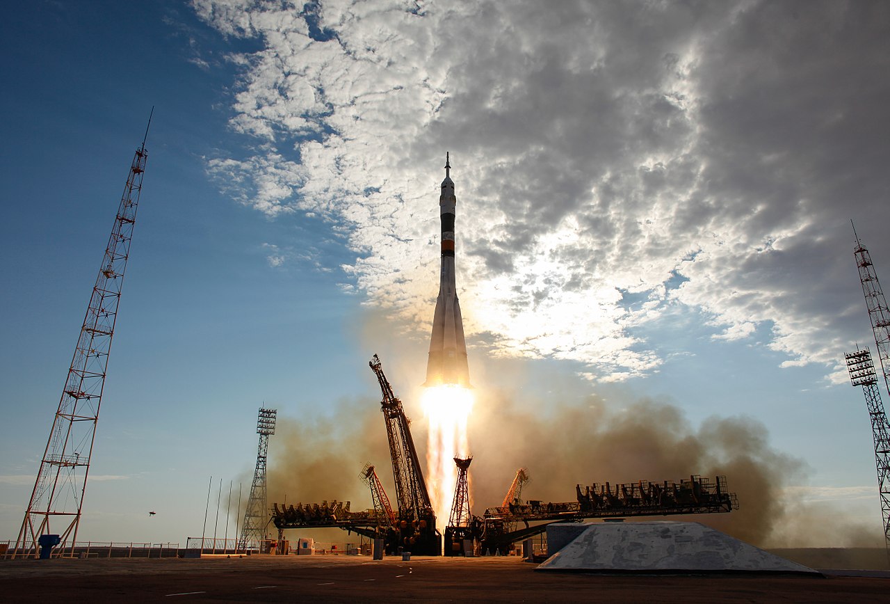
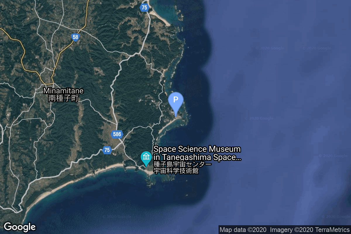
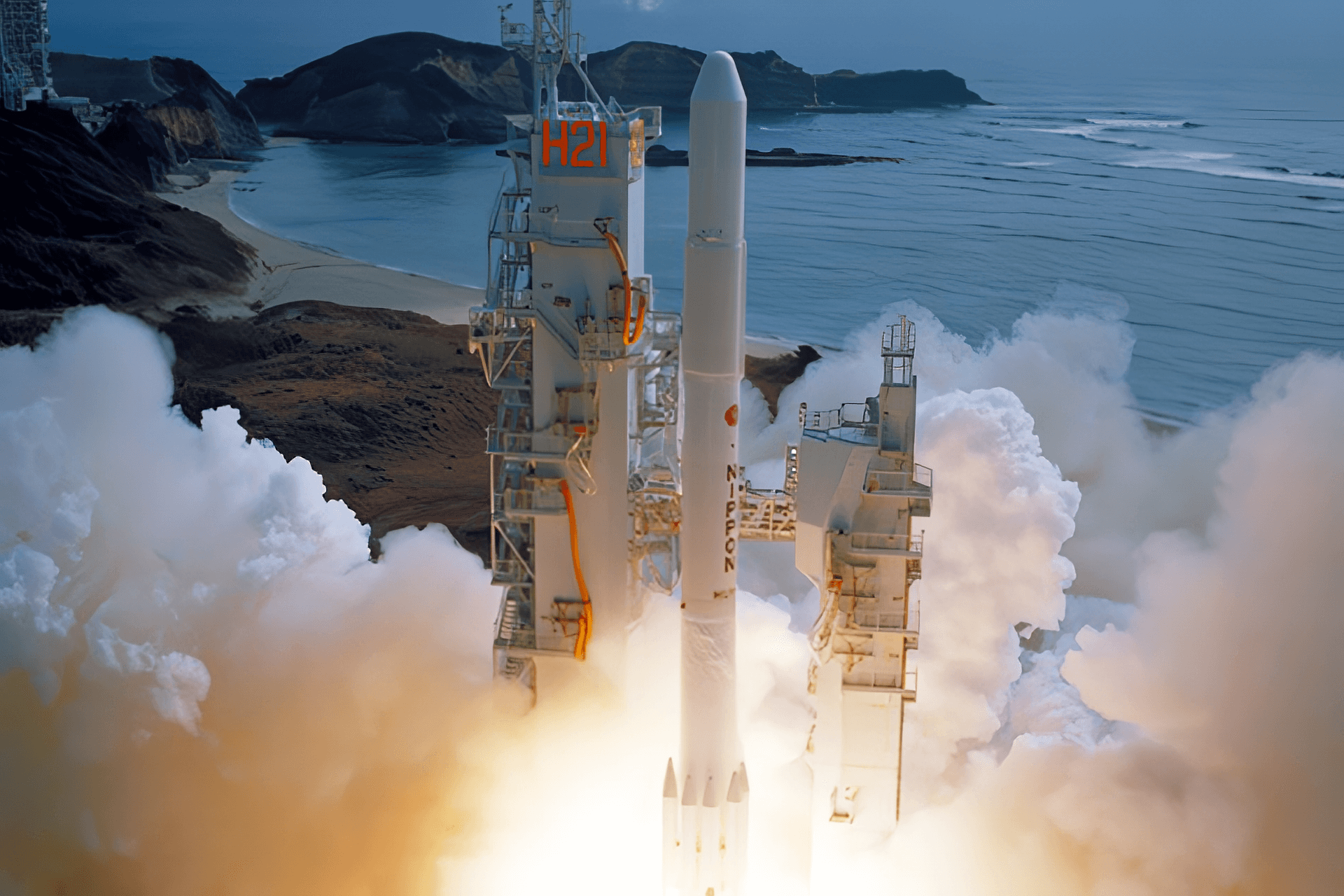
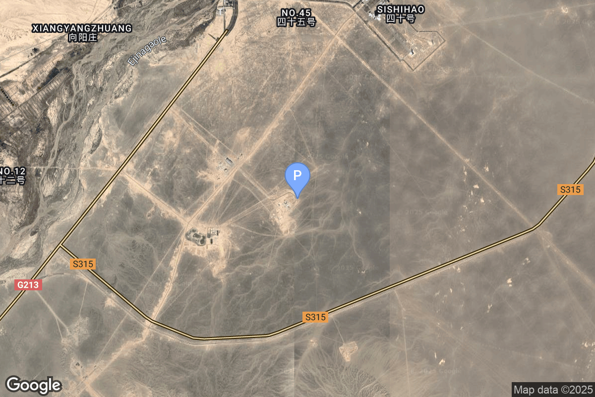
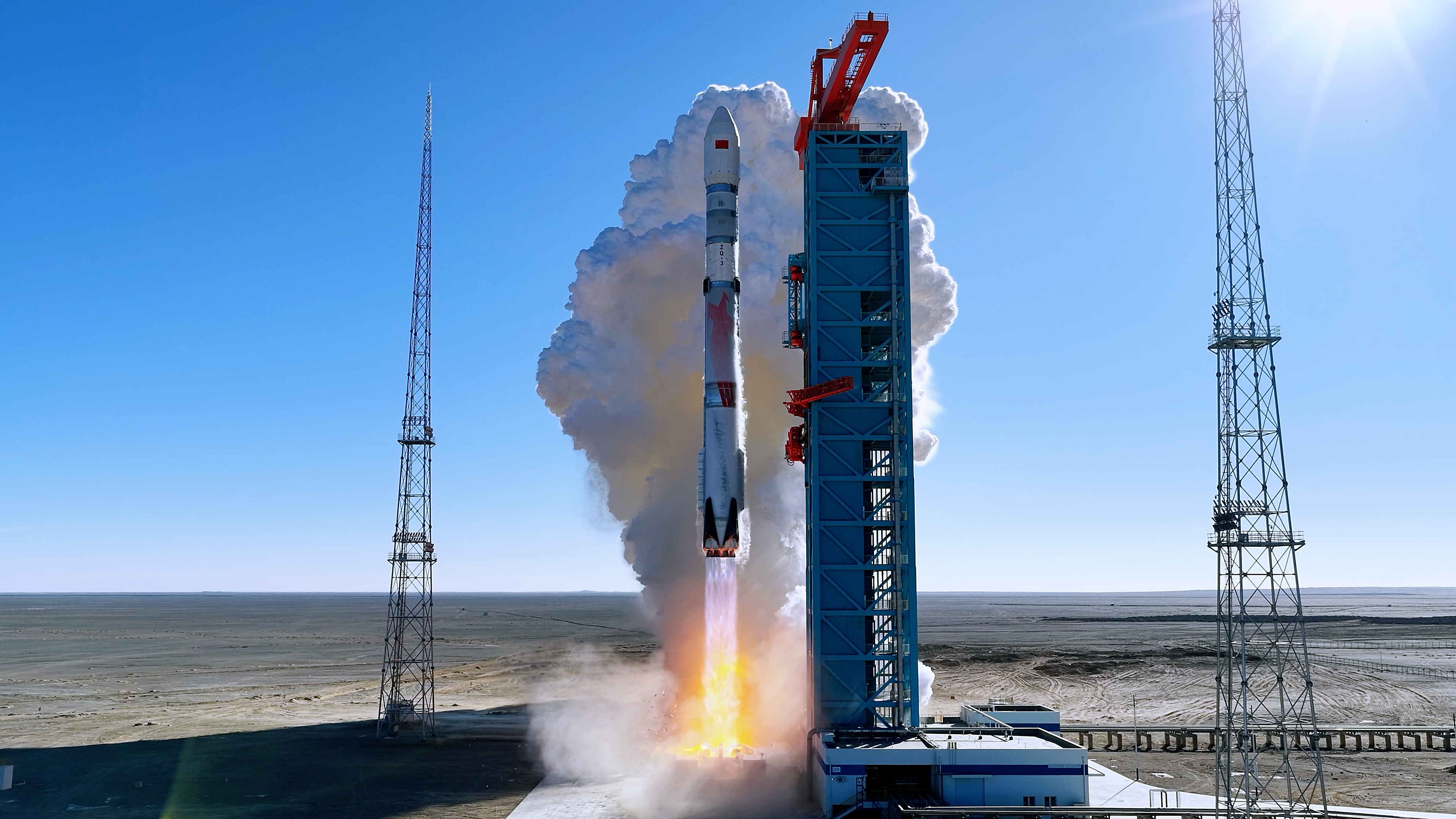
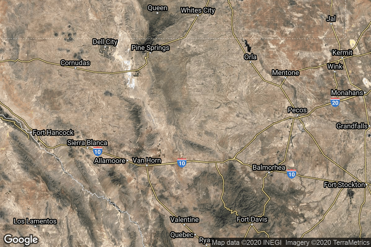
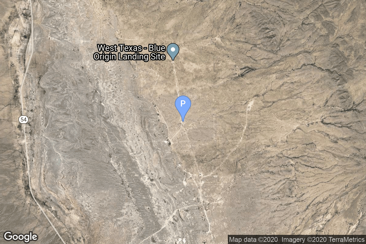
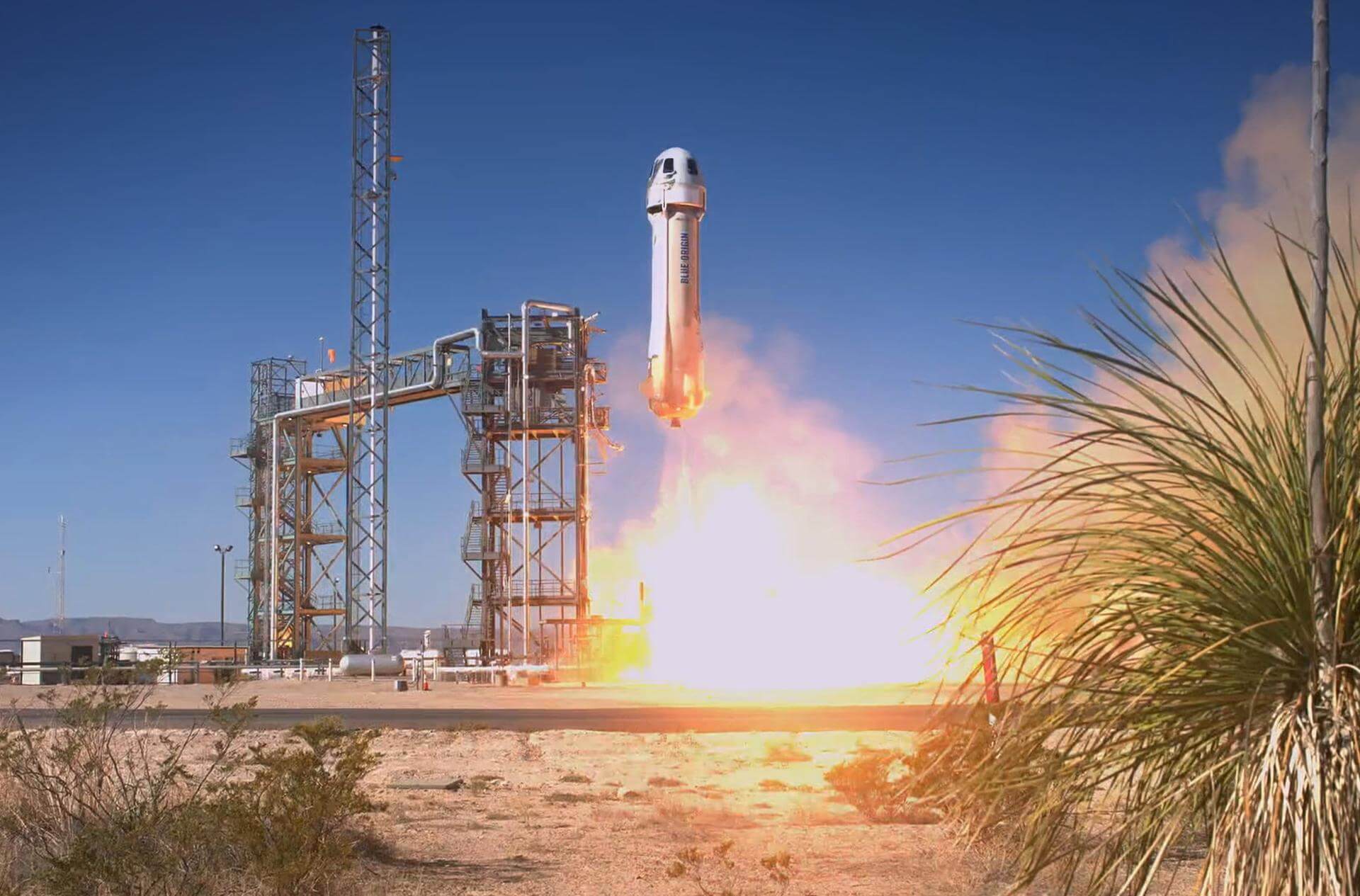
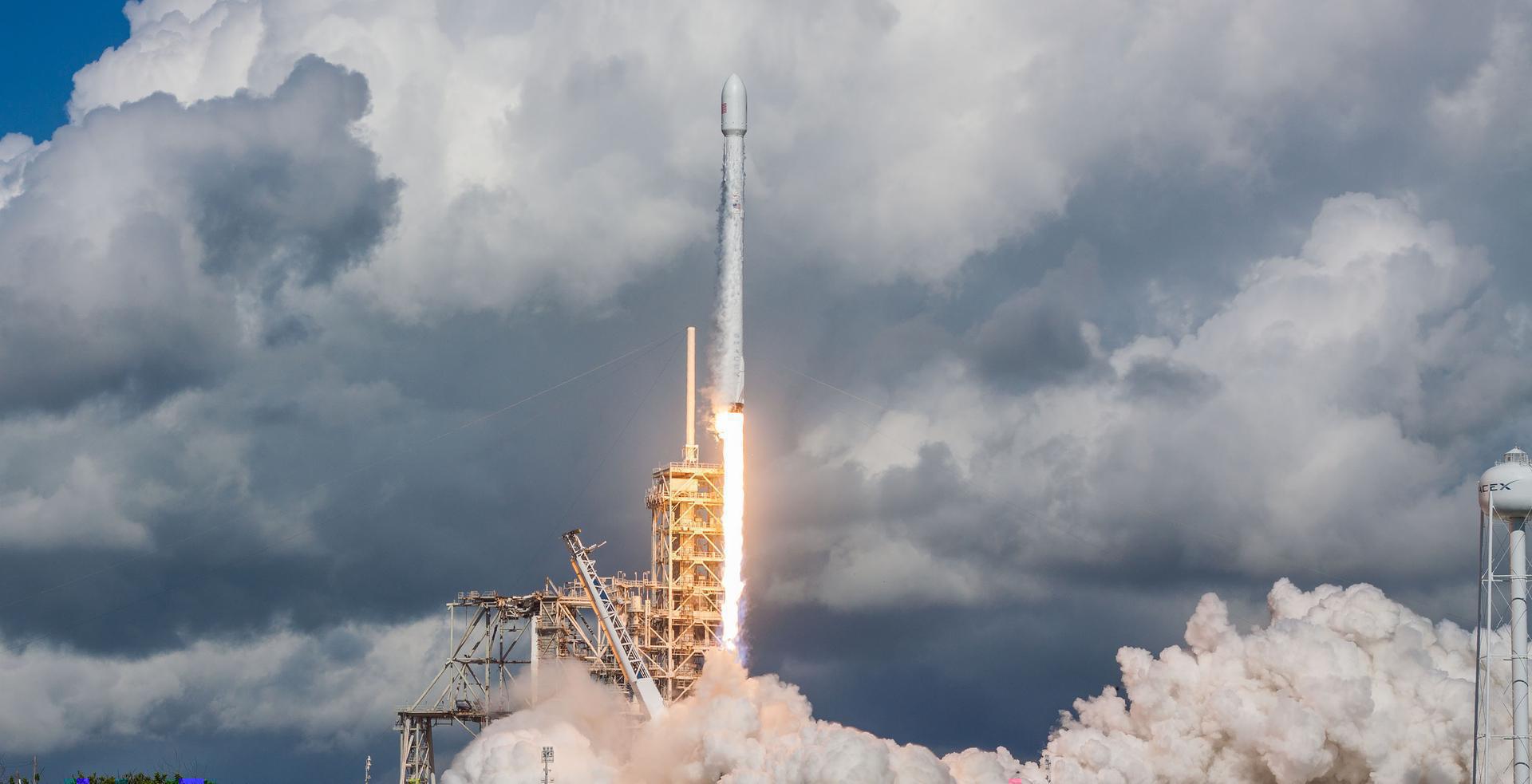
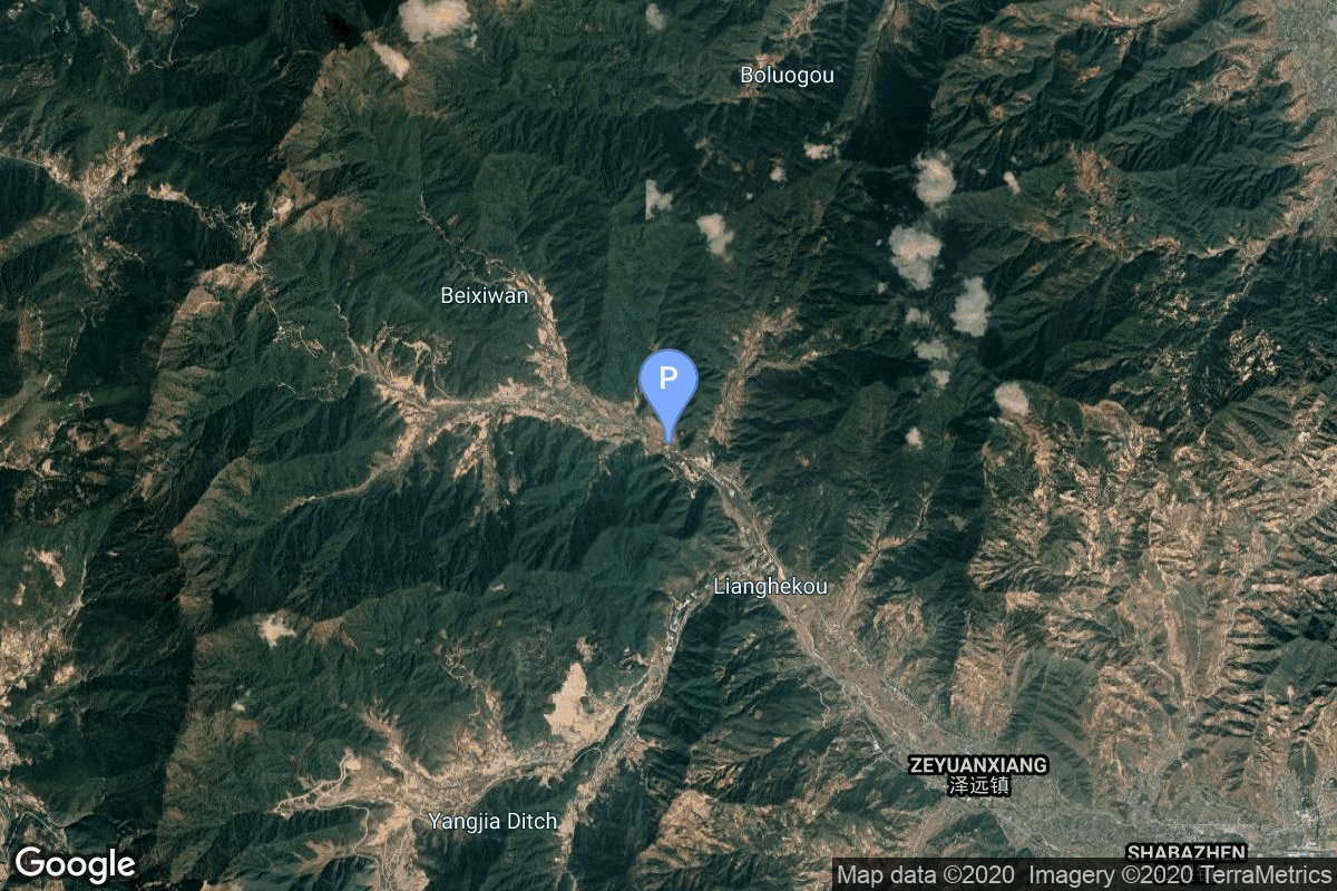
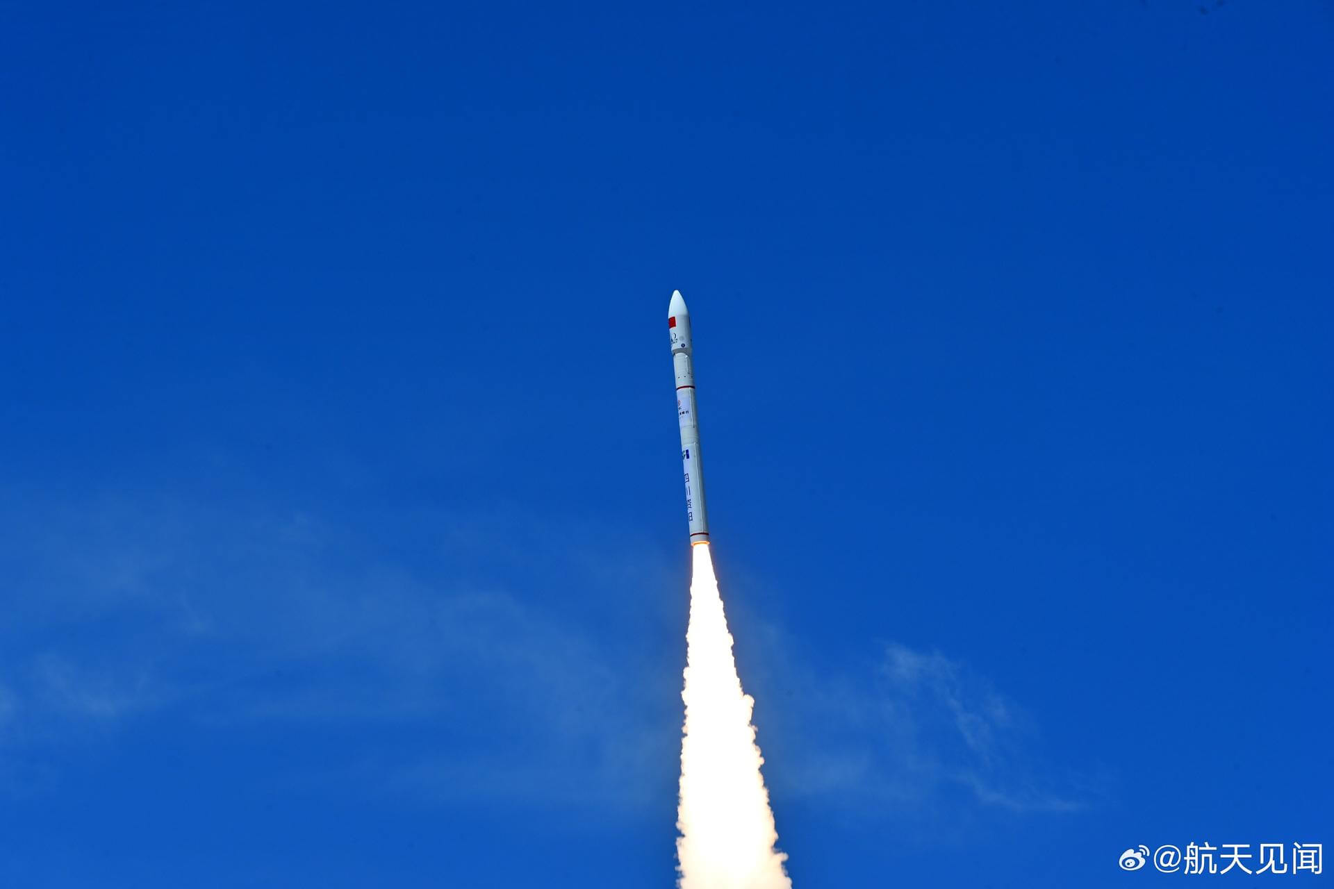
{ "count": 7930, "next": "https://ll.thespacedevs.com/2.0.0/launch/?format=api&limit=10&offset=7260&ordering=-id", "previous": "https://ll.thespacedevs.com/2.0.0/launch/?format=api&limit=10&offset=7240&ordering=-id", "results": [ { "id": "166f5470-b4b4-40fc-a9b1-71b83b3addec", "url": "https://ll.thespacedevs.com/2.0.0/launch/166f5470-b4b4-40fc-a9b1-71b83b3addec/?format=api", "launch_library_id": 150, "slug": "ariane-5-eca-star-one-c4-msg-4", "name": "Ariane 5 ECA | Star One C4 & MSG 4", "status": { "id": 3, "name": "Success" }, "net": "2015-07-15T21:42:07Z", "window_end": "2015-07-15T22:19:00Z", "window_start": "2015-07-15T21:42:00Z", "inhold": false, "tbdtime": false, "tbddate": false, "probability": null, "holdreason": "", "failreason": null, "hashtag": null, "launch_service_provider": { "id": 115, "url": "https://ll.thespacedevs.com/2.0.0/agencies/115/?format=api", "name": "Arianespace", "type": "Commercial" }, "rocket": { "id": 1068, "configuration": { "id": 20, "launch_library_id": 27, "url": "https://ll.thespacedevs.com/2.0.0/config/launcher/20/?format=api", "name": "Ariane 5 ECA", "family": "Ariane", "full_name": "Ariane 5 ECA", "variant": "ECA" } }, "mission": { "id": 893, "launch_library_id": 122, "name": "Star One C4 & MSG 4", "description": "MSG-4 Sat will join four other Meteosat-series meteorological platforms that currently are operational in geostationary orbit at 36,000 km. above the equator. Star One C4 Sat will support telephone, television, radio, data transmission and Internet services in Brazil, Latin American countries and the United States.", "launch_designator": null, "type": "Communications", "orbit": { "id": 2, "name": "Geostationary Transfer Orbit", "abbrev": "GTO" } }, "pad": { "id": 77, "url": "https://ll.thespacedevs.com/2.0.0/pad/77/?format=api", "agency_id": 115, "name": "Ariane Launch Area 3", "info_url": null, "wiki_url": "https://en.wikipedia.org/wiki/ELA-3", "map_url": "https://www.google.com/maps?q=5.239,-52.768", "latitude": "5.239", "longitude": "-52.768", "location": { "id": 13, "url": "https://ll.thespacedevs.com/2.0.0/location/13/?format=api", "name": "Guiana Space Centre, French Guiana", "country_code": "GUF", "map_image": "https://thespacedevs-prod.nyc3.digitaloceanspaces.com/media/map_images/location_13_20200803142412.jpg", "total_launch_count": 334, "total_landing_count": 0 }, "map_image": "https://thespacedevs-prod.nyc3.digitaloceanspaces.com/media/map_images/pad_77_20200803143458.jpg", "total_launch_count": 118 }, "webcast_live": false, "image": "https://thespacedevs-prod.nyc3.digitaloceanspaces.com/media/images/ariane252052520eca_image_20190224012333.jpeg", "infographic": null, "program": [] }, { "id": "165b2b3e-2822-482e-9f04-d9c92a4d09fe", "url": "https://ll.thespacedevs.com/2.0.0/launch/165b2b3e-2822-482e-9f04-d9c92a4d09fe/?format=api", "launch_library_id": 1085, "slug": "soyuz-fg-soyuz-ms-03", "name": "Soyuz-FG | Soyuz MS-03", "status": { "id": 3, "name": "Success" }, "net": "2016-11-17T20:20:13Z", "window_end": "2016-11-17T20:20:13Z", "window_start": "2016-11-17T20:20:13Z", "inhold": false, "tbdtime": false, "tbddate": false, "probability": null, "holdreason": "", "failreason": null, "hashtag": null, "launch_service_provider": { "id": 63, "url": "https://ll.thespacedevs.com/2.0.0/agencies/63/?format=api", "name": "Russian Federal Space Agency (ROSCOSMOS)", "type": "Government" }, "rocket": { "id": 1965, "configuration": { "id": 34, "launch_library_id": 36, "url": "https://ll.thespacedevs.com/2.0.0/config/launcher/34/?format=api", "name": "Soyuz", "family": "", "full_name": "Soyuz FG", "variant": "FG" } }, "mission": { "id": 281, "launch_library_id": 374, "name": "Soyuz MS-03", "description": "Soyuz MS-03 begins expedition 50 by carrying NASA astronaut Peggy Whitson, ESA astronaut Thomas Pesquet and Roscosmos cosmonaut Oleg Novitskiy to the International Space Station. After launching from the Baikonur Cosmodrome in Kazakhstan, they will rendezvous to the station where they will remain for their 6 month stay.", "launch_designator": null, "type": "Human Exploration", "orbit": { "id": 8, "name": "Low Earth Orbit", "abbrev": "LEO" } }, "pad": { "id": 32, "url": "https://ll.thespacedevs.com/2.0.0/pad/32/?format=api", "agency_id": null, "name": "1/5", "info_url": null, "wiki_url": "", "map_url": "https://www.google.com/maps?q=45.92,63.342", "latitude": "45.92", "longitude": "63.342", "location": { "id": 15, "url": "https://ll.thespacedevs.com/2.0.0/location/15/?format=api", "name": "Baikonur Cosmodrome, Republic of Kazakhstan", "country_code": "KAZ", "map_image": "https://thespacedevs-prod.nyc3.digitaloceanspaces.com/media/map_images/location_15_20200803142517.jpg", "total_launch_count": 1564, "total_landing_count": 0 }, "map_image": "https://thespacedevs-prod.nyc3.digitaloceanspaces.com/media/map_images/pad_32_20200803143513.jpg", "total_launch_count": 487 }, "webcast_live": false, "image": "https://thespacedevs-prod.nyc3.digitaloceanspaces.com/media/images/soyuz_image_20190717035537.jpg", "infographic": null, "program": [ { "id": 8, "url": "https://ll.thespacedevs.com/2.0.0/program/8/?format=api", "name": "Soyuz", "description": "The Soyuz programme is a human spaceflight programme initiated by the Soviet Union in the early 1960s. The Soyuz spacecraft was originally part of a Moon landing project intended to put a Soviet cosmonaut on the Moon. It was the third Soviet human spaceflight programme after the Vostok and Voskhod programmes.", "agencies": [ { "id": 63, "url": "https://ll.thespacedevs.com/2.0.0/agencies/63/?format=api", "name": "Russian Federal Space Agency (ROSCOSMOS)", "type": "Government" }, { "id": 66, "url": "https://ll.thespacedevs.com/2.0.0/agencies/66/?format=api", "name": "Soviet Space Program", "type": "Government" } ], "image_url": "https://thespacedevs-prod.nyc3.digitaloceanspaces.com/media/images/soyuz_program_20201129185543.png", "start_date": "1966-11-28T11:02:00Z", "end_date": null, "info_url": null, "wiki_url": "https://en.wikipedia.org/wiki/Soyuz_programme" }, { "id": 17, "url": "https://ll.thespacedevs.com/2.0.0/program/17/?format=api", "name": "International Space Station", "description": "The International Space Station programme is tied together by a complex set of legal, political and financial agreements between the sixteen nations involved in the project, governing ownership of the various components, rights to crewing and utilization, and responsibilities for crew rotation and resupply of the International Space Station. It was conceived in 1984 by President Ronald Reagan, during the Space Station Freedom project as it was originally called.", "agencies": [ { "id": 16, "url": "https://ll.thespacedevs.com/2.0.0/agencies/16/?format=api", "name": "Canadian Space Agency", "type": "Government" }, { "id": 27, "url": "https://ll.thespacedevs.com/2.0.0/agencies/27/?format=api", "name": "European Space Agency", "type": "Multinational" }, { "id": 37, "url": "https://ll.thespacedevs.com/2.0.0/agencies/37/?format=api", "name": "Japan Aerospace Exploration Agency", "type": "Government" }, { "id": 44, "url": "https://ll.thespacedevs.com/2.0.0/agencies/44/?format=api", "name": "National Aeronautics and Space Administration", "type": "Government" }, { "id": 63, "url": "https://ll.thespacedevs.com/2.0.0/agencies/63/?format=api", "name": "Russian Federal Space Agency (ROSCOSMOS)", "type": "Government" } ], "image_url": "https://thespacedevs-prod.nyc3.digitaloceanspaces.com/media/images/international2_program_20201129184745.png", "start_date": "1998-11-20T06:40:00Z", "end_date": null, "info_url": "https://www.nasa.gov/mission_pages/station/main/index.html", "wiki_url": "https://en.wikipedia.org/wiki/International_Space_Station_programme" } ] }, { "id": "16539c0e-3f0a-43b4-9dc0-52a49f86b990", "url": "https://ll.thespacedevs.com/2.0.0/launch/16539c0e-3f0a-43b4-9dc0-52a49f86b990/?format=api", "launch_library_id": null, "slug": "h-1-momo-1b", "name": "H-1 | Momo 1b", "status": { "id": 3, "name": "Success" }, "net": "1990-02-07T01:33:00Z", "window_end": "1990-02-07T01:33:00Z", "window_start": "1990-02-07T01:33:00Z", "inhold": false, "tbdtime": false, "tbddate": false, "probability": null, "holdreason": "", "failreason": "", "hashtag": null, "launch_service_provider": { "id": 98, "url": "https://ll.thespacedevs.com/2.0.0/agencies/98/?format=api", "name": "Mitsubishi Heavy Industries", "type": "Commercial" }, "rocket": { "id": 6243, "configuration": { "id": 319, "launch_library_id": null, "url": "https://ll.thespacedevs.com/2.0.0/config/launcher/319/?format=api", "name": "H-1", "family": "", "full_name": "H-I", "variant": "I" } }, "mission": { "id": 4633, "launch_library_id": null, "name": "Momo 1b", "description": "Japanese Earth observation satellite", "launch_designator": null, "type": "Earth Science", "orbit": { "id": 8, "name": "Low Earth Orbit", "abbrev": "LEO" } }, "pad": { "id": 10, "url": "https://ll.thespacedevs.com/2.0.0/pad/10/?format=api", "agency_id": 37, "name": "Osaki Launch Complex", "info_url": null, "wiki_url": "https://en.wikipedia.org/wiki/Tanegashima_Space_Center", "map_url": "https://www.google.com/maps?q=30.3993934,130.9702486", "latitude": "30.3993934", "longitude": "130.9702486", "location": { "id": 26, "url": "https://ll.thespacedevs.com/2.0.0/location/26/?format=api", "name": "Tanegashima Space Center, Japan", "country_code": "JPN", "map_image": "https://thespacedevs-prod.nyc3.digitaloceanspaces.com/media/map_images/location_26_20200803142507.jpg", "total_launch_count": 98, "total_landing_count": 0 }, "map_image": "https://thespacedevs-prod.nyc3.digitaloceanspaces.com/media/map_images/pad_10_20200803143519.jpg", "total_launch_count": 24 }, "webcast_live": false, "image": "https://thespacedevs-prod.nyc3.digitaloceanspaces.com/media/images/h-1_image_20240210175424.png", "infographic": null, "program": [] }, { "id": "164f634d-49b0-488b-ab03-e3ffdcaa9f0b", "url": "https://ll.thespacedevs.com/2.0.0/launch/164f634d-49b0-488b-ab03-e3ffdcaa9f0b/?format=api", "launch_library_id": 1708, "slug": "soyuz-u-progress-10", "name": "Soyuz U | Progress 10", "status": { "id": 3, "name": "Success" }, "net": "1980-06-29T04:40:42Z", "window_end": "1980-06-29T04:40:42Z", "window_start": "1980-06-29T04:40:42Z", "inhold": false, "tbdtime": false, "tbddate": false, "probability": 0, "holdreason": "", "failreason": "", "hashtag": "", "launch_service_provider": { "id": 66, "url": "https://ll.thespacedevs.com/2.0.0/agencies/66/?format=api", "name": "Soviet Space Program", "type": "Government" }, "rocket": { "id": 2240, "configuration": { "id": 37, "launch_library_id": 35, "url": "https://ll.thespacedevs.com/2.0.0/config/launcher/37/?format=api", "name": "Soyuz U", "family": "Soyuz", "full_name": "Soyuz U", "variant": "" } }, "mission": null, "pad": { "id": 32, "url": "https://ll.thespacedevs.com/2.0.0/pad/32/?format=api", "agency_id": null, "name": "1/5", "info_url": null, "wiki_url": "", "map_url": "https://www.google.com/maps?q=45.92,63.342", "latitude": "45.92", "longitude": "63.342", "location": { "id": 15, "url": "https://ll.thespacedevs.com/2.0.0/location/15/?format=api", "name": "Baikonur Cosmodrome, Republic of Kazakhstan", "country_code": "KAZ", "map_image": "https://thespacedevs-prod.nyc3.digitaloceanspaces.com/media/map_images/location_15_20200803142517.jpg", "total_launch_count": 1564, "total_landing_count": 0 }, "map_image": "https://thespacedevs-prod.nyc3.digitaloceanspaces.com/media/map_images/pad_32_20200803143513.jpg", "total_launch_count": 487 }, "webcast_live": false, "image": "https://thespacedevs-prod.nyc3.digitaloceanspaces.com/media/images/soyuz2520u_image_20190222031023.jpeg", "infographic": null, "program": [] }, { "id": "163c666e-6c61-4e10-8110-6d3c33d965f6", "url": "https://ll.thespacedevs.com/2.0.0/launch/163c666e-6c61-4e10-8110-6d3c33d965f6/?format=api", "launch_library_id": null, "slug": "zhuque-3-demo-flight", "name": "Zhuque-3 | Demo Flight", "status": { "id": 3, "name": "Success" }, "net": "2025-12-03T04:00:00Z", "window_end": "2025-12-03T04:49:00Z", "window_start": "2025-12-03T03:52:00Z", "inhold": false, "tbdtime": false, "tbddate": false, "probability": null, "holdreason": "", "failreason": "", "hashtag": null, "launch_service_provider": { "id": 259, "url": "https://ll.thespacedevs.com/2.0.0/agencies/259/?format=api", "name": "LandSpace", "type": "Commercial" }, "rocket": { "id": 8821, "configuration": { "id": 539, "launch_library_id": null, "url": "https://ll.thespacedevs.com/2.0.0/config/launcher/539/?format=api", "name": "Zhuque-3", "family": "Zhuque", "full_name": "Zhuque-3", "variant": "" } }, "mission": { "id": 7412, "launch_library_id": null, "name": "Demo Flight", "description": "First test launch of LandSpace’s ZQ-3 rocket, with a dummy payload. The rocket’s 1st stage attempted to land on a landing pad about 300 km downrange of the launch site.", "launch_designator": null, "type": "Test Flight", "orbit": { "id": 8, "name": "Low Earth Orbit", "abbrev": "LEO" } }, "pad": { "id": 243, "url": "https://ll.thespacedevs.com/2.0.0/pad/243/?format=api", "agency_id": 259, "name": "Launch Area 96B", "info_url": null, "wiki_url": "https://en.wikipedia.org/wiki/Zhuque-3", "map_url": "https://www.google.com/maps?q=40.92017,100.25129", "latitude": "40.92017", "longitude": "100.25129", "location": { "id": 17, "url": "https://ll.thespacedevs.com/2.0.0/location/17/?format=api", "name": "Jiuquan Satellite Launch Center, People's Republic of China", "country_code": "CHN", "map_image": "https://thespacedevs-prod.nyc3.digitaloceanspaces.com/media/map_images/location_17_20200803142429.jpg", "total_launch_count": 291, "total_landing_count": 2 }, "map_image": "https://thespacedevs-prod.nyc3.digitaloceanspaces.com/media/map_images/pad_launch_area_96b_20251128220544.jpg", "total_launch_count": 1 }, "webcast_live": false, "image": "https://thespacedevs-prod.nyc3.digitaloceanspaces.com/media/images/zq-3_flight_1_l_image_20251203064230.jpg", "infographic": null, "program": [] }, { "id": "1631e31c-70cc-42b5-9737-31e5f243a563", "url": "https://ll.thespacedevs.com/2.0.0/launch/1631e31c-70cc-42b5-9737-31e5f243a563/?format=api", "launch_library_id": null, "slug": "new-shepard-ns-28", "name": "New Shepard | NS-28", "status": { "id": 3, "name": "Success" }, "net": "2024-11-22T15:30:00Z", "window_end": "2024-11-22T22:30:00Z", "window_start": "2024-11-22T14:30:00Z", "inhold": false, "tbdtime": false, "tbddate": false, "probability": null, "holdreason": "", "failreason": "", "hashtag": null, "launch_service_provider": { "id": 141, "url": "https://ll.thespacedevs.com/2.0.0/agencies/141/?format=api", "name": "Blue Origin", "type": "Commercial" }, "rocket": { "id": 8413, "configuration": { "id": 137, "launch_library_id": 9999, "url": "https://ll.thespacedevs.com/2.0.0/config/launcher/137/?format=api", "name": "New Shepard", "family": "", "full_name": "New Shepard", "variant": "" } }, "mission": { "id": 7002, "launch_library_id": null, "name": "NS-28", "description": "Twenty-eighth flight of New Shepard carrying six passengers.", "launch_designator": null, "type": "Tourism", "orbit": { "id": 15, "name": "Suborbital", "abbrev": "Sub" } }, "pad": { "id": 90, "url": "https://ll.thespacedevs.com/2.0.0/pad/90/?format=api", "agency_id": 141, "name": "West Texas Suborbital Launch Site/ Corn Ranch", "info_url": "https://www.blueorigin.com", "wiki_url": "https://en.wikipedia.org/wiki/Corn_Ranch", "map_url": "https://www.google.com/maps?q=31.422878000000000,-104.757121000000000", "latitude": "31.422878", "longitude": "-104.757121", "location": { "id": 29, "url": "https://ll.thespacedevs.com/2.0.0/location/29/?format=api", "name": "Corn Ranch, Van Horn, TX, USA", "country_code": "USA", "map_image": "https://thespacedevs-prod.nyc3.digitaloceanspaces.com/media/map_images/location_29_20200803142436.jpg", "total_launch_count": 38, "total_landing_count": 38 }, "map_image": "https://thespacedevs-prod.nyc3.digitaloceanspaces.com/media/map_images/pad_90_20200803143233.jpg", "total_launch_count": 38 }, "webcast_live": false, "image": "https://thespacedevs-prod.nyc3.digitaloceanspaces.com/media/images/new_shepard_lif_image_20240621062033.jpeg", "infographic": null, "program": [] }, { "id": "161dee30-0b58-4eec-83e4-b4142914b7c1", "url": "https://ll.thespacedevs.com/2.0.0/launch/161dee30-0b58-4eec-83e4-b4142914b7c1/?format=api", "launch_library_id": 1440, "slug": "falcon-9-block-4-spx-crs-14", "name": "Falcon 9 Block 4 | SpX CRS-14", "status": { "id": 3, "name": "Success" }, "net": "2018-04-02T20:30:38Z", "window_end": "2018-04-02T20:30:38Z", "window_start": "2018-04-02T20:30:38Z", "inhold": false, "tbdtime": false, "tbddate": false, "probability": 80, "holdreason": "", "failreason": null, "hashtag": null, "launch_service_provider": { "id": 121, "url": "https://ll.thespacedevs.com/2.0.0/agencies/121/?format=api", "name": "SpaceX", "type": "Commercial" }, "rocket": { "id": 2091, "configuration": { "id": 145, "launch_library_id": 187, "url": "https://ll.thespacedevs.com/2.0.0/config/launcher/145/?format=api", "name": "Falcon 9", "family": "Falcon", "full_name": "Falcon 9 Block 4", "variant": "Block 4" } }, "mission": { "id": 494, "launch_library_id": 637, "name": "SpX CRS-14", "description": "SpaceX launched the Dragon spacecraft on their 14th operational cargo delivery mission to the International Space Station. The flight was conducted under the Commercial Resupply Services contract with NASA.", "launch_designator": null, "type": "Resupply", "orbit": { "id": 8, "name": "Low Earth Orbit", "abbrev": "LEO" } }, "pad": { "id": 80, "url": "https://ll.thespacedevs.com/2.0.0/pad/80/?format=api", "agency_id": 121, "name": "Space Launch Complex 40", "info_url": null, "wiki_url": "https://en.wikipedia.org/wiki/Cape_Canaveral_Air_Force_Station_Space_Launch_Complex_40", "map_url": "https://www.google.com/maps?q=28.56194122,-80.57735736", "latitude": "28.56194122", "longitude": "-80.57735736", "location": { "id": 12, "url": "https://ll.thespacedevs.com/2.0.0/location/12/?format=api", "name": "Cape Canaveral SFS, FL, USA", "country_code": "USA", "map_image": "https://thespacedevs-prod.nyc3.digitaloceanspaces.com/media/map_images/location_12_20200803142519.jpg", "total_launch_count": 1122, "total_landing_count": 75 }, "map_image": "https://thespacedevs-prod.nyc3.digitaloceanspaces.com/media/map_images/pad_80_20200803143323.jpg", "total_launch_count": 394 }, "webcast_live": false, "image": "https://thespacedevs-prod.nyc3.digitaloceanspaces.com/media/images/falcon252092520block25204_image_20190222031140.jpeg", "infographic": null, "program": [ { "id": 11, "url": "https://ll.thespacedevs.com/2.0.0/program/11/?format=api", "name": "Commercial Resupply Services", "description": "Commercial Resupply Services (CRS) are a series of flights awarded by NASA for the delivery of cargo and supplies to the International Space Station.The first CRS contracts were signed in 2008 and awarded $1.6 billion to SpaceX for twelve cargo Dragon and $1.9 billion to Orbital Sciences for eight Cygnus flights, covering deliveries to 2016. The Falcon 9 and Antares rockets were also developed under the CRS program to deliver cargo spacecraft to the ISS.", "agencies": [ { "id": 44, "url": "https://ll.thespacedevs.com/2.0.0/agencies/44/?format=api", "name": "National Aeronautics and Space Administration", "type": "Government" }, { "id": 257, "url": "https://ll.thespacedevs.com/2.0.0/agencies/257/?format=api", "name": "Northrop Grumman Space Systems", "type": "Commercial" }, { "id": 1020, "url": "https://ll.thespacedevs.com/2.0.0/agencies/1020/?format=api", "name": "Sierra Nevada Corporation", "type": "Commercial" }, { "id": 121, "url": "https://ll.thespacedevs.com/2.0.0/agencies/121/?format=api", "name": "SpaceX", "type": "Commercial" } ], "image_url": "https://thespacedevs-prod.nyc3.digitaloceanspaces.com/media/images/commercial2520_program_20201129212219.png", "start_date": "2008-12-23T00:00:00Z", "end_date": null, "info_url": null, "wiki_url": "https://en.wikipedia.org/wiki/Commercial_Resupply_Services#Commercial_Resupply_Services" }, { "id": 17, "url": "https://ll.thespacedevs.com/2.0.0/program/17/?format=api", "name": "International Space Station", "description": "The International Space Station programme is tied together by a complex set of legal, political and financial agreements between the sixteen nations involved in the project, governing ownership of the various components, rights to crewing and utilization, and responsibilities for crew rotation and resupply of the International Space Station. It was conceived in 1984 by President Ronald Reagan, during the Space Station Freedom project as it was originally called.", "agencies": [ { "id": 16, "url": "https://ll.thespacedevs.com/2.0.0/agencies/16/?format=api", "name": "Canadian Space Agency", "type": "Government" }, { "id": 27, "url": "https://ll.thespacedevs.com/2.0.0/agencies/27/?format=api", "name": "European Space Agency", "type": "Multinational" }, { "id": 37, "url": "https://ll.thespacedevs.com/2.0.0/agencies/37/?format=api", "name": "Japan Aerospace Exploration Agency", "type": "Government" }, { "id": 44, "url": "https://ll.thespacedevs.com/2.0.0/agencies/44/?format=api", "name": "National Aeronautics and Space Administration", "type": "Government" }, { "id": 63, "url": "https://ll.thespacedevs.com/2.0.0/agencies/63/?format=api", "name": "Russian Federal Space Agency (ROSCOSMOS)", "type": "Government" } ], "image_url": "https://thespacedevs-prod.nyc3.digitaloceanspaces.com/media/images/international2_program_20201129184745.png", "start_date": "1998-11-20T06:40:00Z", "end_date": null, "info_url": "https://www.nasa.gov/mission_pages/station/main/index.html", "wiki_url": "https://en.wikipedia.org/wiki/International_Space_Station_programme" } ] }, { "id": "161dbc75-e973-44f7-a346-6254aec99900", "url": "https://ll.thespacedevs.com/2.0.0/launch/161dbc75-e973-44f7-a346-6254aec99900/?format=api", "launch_library_id": null, "slug": "falcon-9-block-5-starlink-group-7-9", "name": "Falcon 9 Block 5 | Starlink Group 7-9", "status": { "id": 3, "name": "Success" }, "net": "2024-01-03T03:44:20Z", "window_end": "2024-01-03T06:02:10Z", "window_start": "2024-01-03T02:13:00Z", "inhold": false, "tbdtime": false, "tbddate": false, "probability": 70, "holdreason": "", "failreason": "", "hashtag": null, "launch_service_provider": { "id": 121, "url": "https://ll.thespacedevs.com/2.0.0/agencies/121/?format=api", "name": "SpaceX", "type": "Commercial" }, "rocket": { "id": 8032, "configuration": { "id": 164, "launch_library_id": 188, "url": "https://ll.thespacedevs.com/2.0.0/config/launcher/164/?format=api", "name": "Falcon 9", "family": "Falcon", "full_name": "Falcon 9 Block 5", "variant": "Block 5" } }, "mission": { "id": 6564, "launch_library_id": null, "name": "Starlink Group 7-9", "description": "A batch of 21 satellites for the Starlink mega-constellation - SpaceX's project for space-based Internet communication system.", "launch_designator": null, "type": "Communications", "orbit": { "id": 8, "name": "Low Earth Orbit", "abbrev": "LEO" } }, "pad": { "id": 16, "url": "https://ll.thespacedevs.com/2.0.0/pad/16/?format=api", "agency_id": null, "name": "Space Launch Complex 4E", "info_url": null, "wiki_url": "https://en.wikipedia.org/wiki/Vandenberg_Space_Launch_Complex_4#SLC-4E", "map_url": "https://www.google.com/maps?q=34.632,-120.611", "latitude": "34.632", "longitude": "-120.611", "location": { "id": 11, "url": "https://ll.thespacedevs.com/2.0.0/location/11/?format=api", "name": "Vandenberg SFB, CA, USA", "country_code": "USA", "map_image": "https://thespacedevs-prod.nyc3.digitaloceanspaces.com/media/map_images/location_11_20200803142416.jpg", "total_launch_count": 900, "total_landing_count": 35 }, "map_image": "https://thespacedevs-prod.nyc3.digitaloceanspaces.com/media/map_images/pad_16_20200803143532.jpg", "total_launch_count": 284 }, "webcast_live": false, "image": "https://thespacedevs-prod.nyc3.digitaloceanspaces.com/media/images/falcon2520925_image_20221009234147.png", "infographic": null, "program": [ { "id": 25, "url": "https://ll.thespacedevs.com/2.0.0/program/25/?format=api", "name": "Starlink", "description": "Starlink is a satellite internet constellation operated by American aerospace company SpaceX", "agencies": [ { "id": 121, "url": "https://ll.thespacedevs.com/2.0.0/agencies/121/?format=api", "name": "SpaceX", "type": "Commercial" } ], "image_url": "https://thespacedevs-prod.nyc3.digitaloceanspaces.com/media/images/starlink_program_20231228154508.jpeg", "start_date": "2018-02-22T14:17:00Z", "end_date": null, "info_url": "https://starlink.com", "wiki_url": "https://en.wikipedia.org/wiki/Starlink" } ] }, { "id": "161ca0fe-fef2-40a3-88f8-de777c7fc895", "url": "https://ll.thespacedevs.com/2.0.0/launch/161ca0fe-fef2-40a3-88f8-de777c7fc895/?format=api", "launch_library_id": null, "slug": "falcon-9-block-5-starlink-group-10-27", "name": "Falcon 9 Block 5 | Starlink Group 10-27", "status": { "id": 3, "name": "Success" }, "net": "2025-09-21T10:53:00Z", "window_end": "2025-09-21T13:20:00Z", "window_start": "2025-09-21T09:20:00Z", "inhold": false, "tbdtime": false, "tbddate": false, "probability": 90, "holdreason": "", "failreason": "", "hashtag": null, "launch_service_provider": { "id": 121, "url": "https://ll.thespacedevs.com/2.0.0/agencies/121/?format=api", "name": "SpaceX", "type": "Commercial" }, "rocket": { "id": 8707, "configuration": { "id": 164, "launch_library_id": 188, "url": "https://ll.thespacedevs.com/2.0.0/config/launcher/164/?format=api", "name": "Falcon 9", "family": "Falcon", "full_name": "Falcon 9 Block 5", "variant": "Block 5" } }, "mission": { "id": 7300, "launch_library_id": null, "name": "Starlink Group 10-27", "description": "A batch of 28 satellites for the Starlink mega-constellation - SpaceX's project for space-based Internet communication system.", "launch_designator": null, "type": "Communications", "orbit": { "id": 8, "name": "Low Earth Orbit", "abbrev": "LEO" } }, "pad": { "id": 80, "url": "https://ll.thespacedevs.com/2.0.0/pad/80/?format=api", "agency_id": 121, "name": "Space Launch Complex 40", "info_url": null, "wiki_url": "https://en.wikipedia.org/wiki/Cape_Canaveral_Air_Force_Station_Space_Launch_Complex_40", "map_url": "https://www.google.com/maps?q=28.56194122,-80.57735736", "latitude": "28.56194122", "longitude": "-80.57735736", "location": { "id": 12, "url": "https://ll.thespacedevs.com/2.0.0/location/12/?format=api", "name": "Cape Canaveral SFS, FL, USA", "country_code": "USA", "map_image": "https://thespacedevs-prod.nyc3.digitaloceanspaces.com/media/map_images/location_12_20200803142519.jpg", "total_launch_count": 1122, "total_landing_count": 75 }, "map_image": "https://thespacedevs-prod.nyc3.digitaloceanspaces.com/media/map_images/pad_80_20200803143323.jpg", "total_launch_count": 394 }, "webcast_live": false, "image": "https://thespacedevs-prod.nyc3.digitaloceanspaces.com/media/images/falcon2520925_image_20221009234147.png", "infographic": null, "program": [ { "id": 25, "url": "https://ll.thespacedevs.com/2.0.0/program/25/?format=api", "name": "Starlink", "description": "Starlink is a satellite internet constellation operated by American aerospace company SpaceX", "agencies": [ { "id": 121, "url": "https://ll.thespacedevs.com/2.0.0/agencies/121/?format=api", "name": "SpaceX", "type": "Commercial" } ], "image_url": "https://thespacedevs-prod.nyc3.digitaloceanspaces.com/media/images/starlink_program_20231228154508.jpeg", "start_date": "2018-02-22T14:17:00Z", "end_date": null, "info_url": "https://starlink.com", "wiki_url": "https://en.wikipedia.org/wiki/Starlink" } ] }, { "id": "160d6bd1-4ac6-43bd-8284-12e457cde9d7", "url": "https://ll.thespacedevs.com/2.0.0/launch/160d6bd1-4ac6-43bd-8284-12e457cde9d7/?format=api", "launch_library_id": null, "slug": "ceres-1-qiankun-1-xingshidai16", "name": "Ceres-1 | Qiankun-1 & Xingshidai‐16", "status": { "id": 3, "name": "Success" }, "net": "2023-07-22T05:07:00Z", "window_end": "2023-07-22T06:06:00Z", "window_start": "2023-07-22T05:00:00Z", "inhold": false, "tbdtime": false, "tbddate": false, "probability": null, "holdreason": "", "failreason": "", "hashtag": null, "launch_service_provider": { "id": 1021, "url": "https://ll.thespacedevs.com/2.0.0/agencies/1021/?format=api", "name": "Galactic Energy", "type": "Commercial" }, "rocket": { "id": 7958, "configuration": { "id": 461, "launch_library_id": null, "url": "https://ll.thespacedevs.com/2.0.0/config/launcher/461/?format=api", "name": "Ceres-1", "family": "Ceres-1", "full_name": "Ceres-1", "variant": "Ceres-1" } }, "mission": { "id": 6474, "launch_library_id": null, "name": "Qiankun-1 & Xingshidai‐16", "description": "Share ride launch of 2 satellites to SSO:\r\n\r\n* Qiankun-1 Very Low Earth Orbit (VLEO) technology demonstration satellite for CSpace\r\n* Xingshidai‐16 Earth observation satellite for ADASpace", "launch_designator": null, "type": "Earth Science", "orbit": { "id": 17, "name": "Sun-Synchronous Orbit", "abbrev": "SSO" } }, "pad": { "id": 21, "url": "https://ll.thespacedevs.com/2.0.0/pad/21/?format=api", "agency_id": null, "name": "Launch Area 95A", "info_url": null, "wiki_url": "https://en.wikipedia.org/wiki/Jiuquan_Satellite_Launch_Center", "map_url": "https://www.google.com/maps?q=40.969117,100.343333", "latitude": "40.969117", "longitude": "100.343333", "location": { "id": 17, "url": "https://ll.thespacedevs.com/2.0.0/location/17/?format=api", "name": "Jiuquan Satellite Launch Center, People's Republic of China", "country_code": "CHN", "map_image": "https://thespacedevs-prod.nyc3.digitaloceanspaces.com/media/map_images/location_17_20200803142429.jpg", "total_launch_count": 291, "total_landing_count": 2 }, "map_image": "https://thespacedevs-prod.nyc3.digitaloceanspaces.com/media/map_images/pad_21_20200803143253.jpg", "total_launch_count": 67 }, "webcast_live": false, "image": "https://thespacedevs-prod.nyc3.digitaloceanspaces.com/media/images/ceres-1252025_image_20230722055539.jpeg", "infographic": null, "program": [] } ] }