Launch List
API endpoint that returns all Launch objects or a single launch.
EXAMPLE - /launch/
GET: Return a list of all Launch objects.
FILTERS: Fields - 'name', 'id(s)', 'lsp_id', 'lsp_name', 'serial_number', 'launcher_config__id', 'rocket__spacecraftflight__spacecraft__name'
MODE: 'normal', 'list', 'detailed' EXAMPLE: ?mode=list
SEARCH: Searches through the launch name, rocket name, launch agency, mission name & spacecraft name. EXAMPLE - ?search=SpaceX
GET /2.0.0/launch/?format=api&offset=7200&ordering=-net
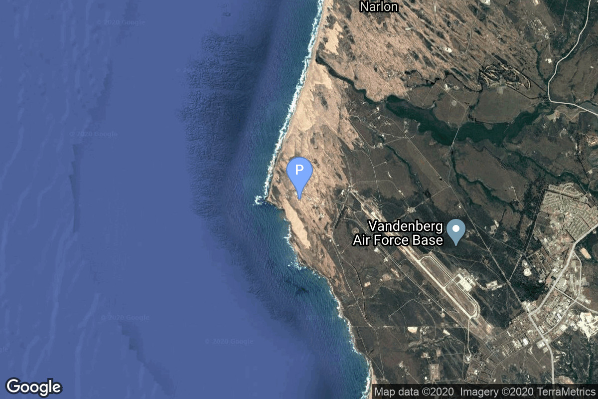
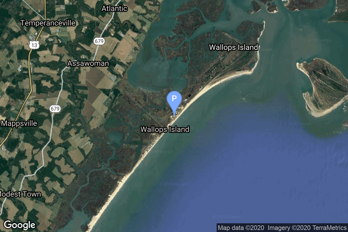
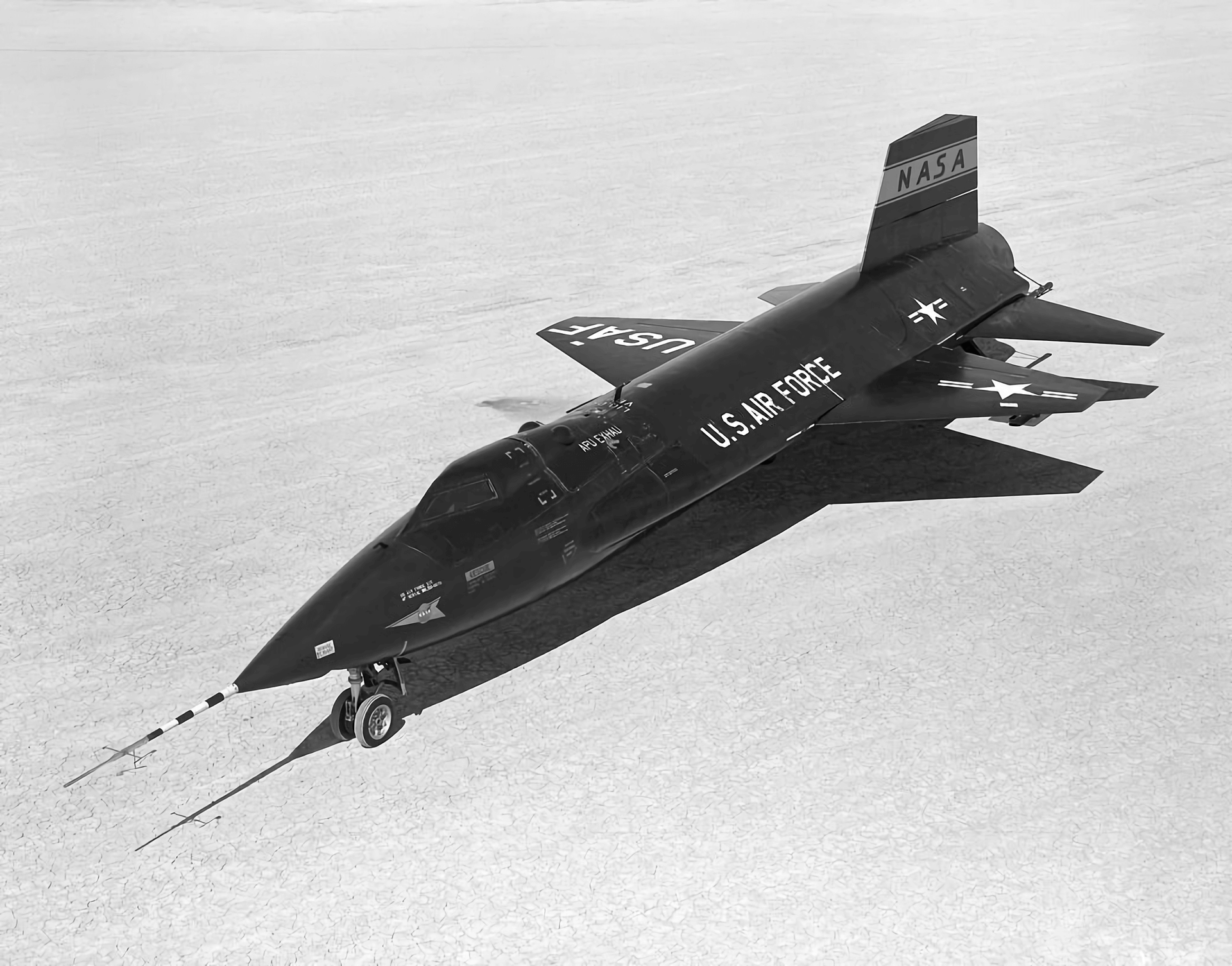
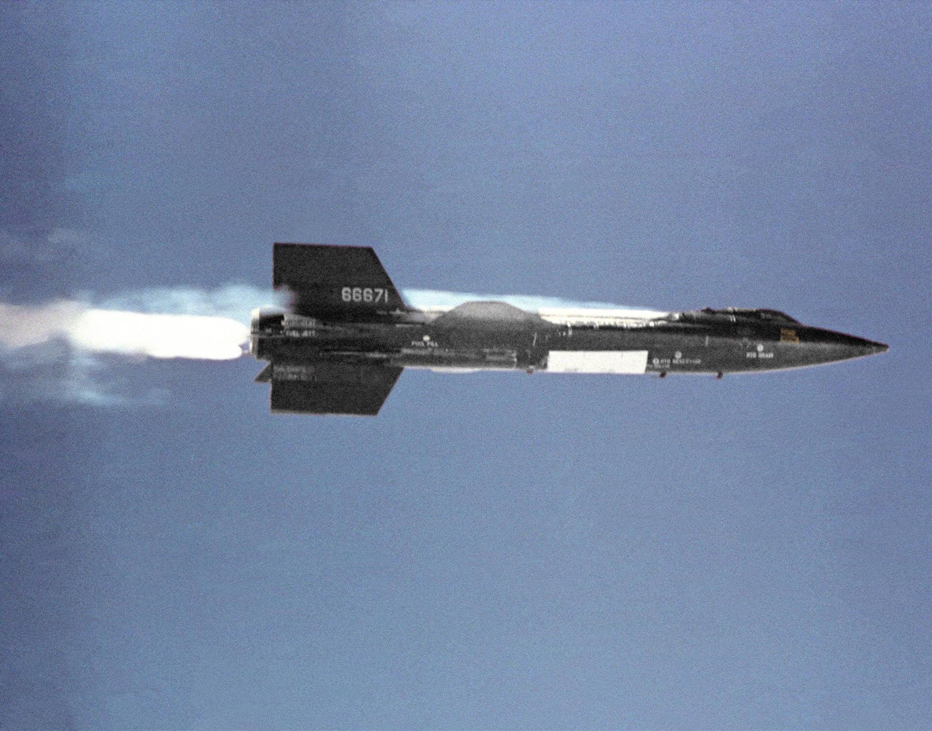
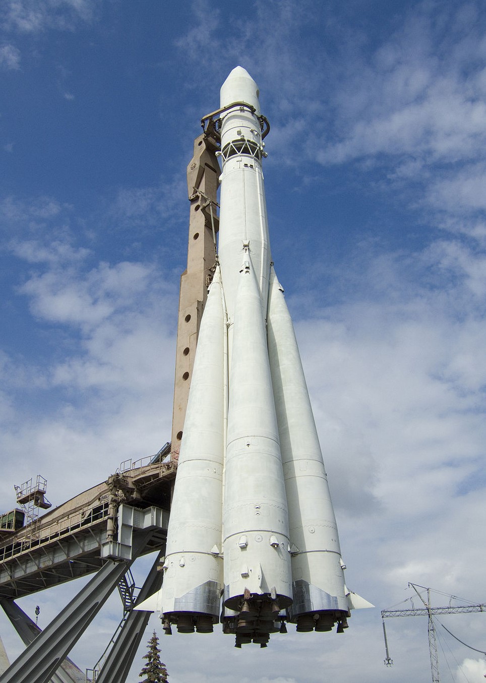
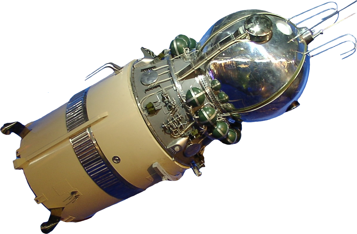
{ "count": 7494, "next": "https://ll.thespacedevs.com/2.0.0/launch/?format=api&limit=10&offset=7210&ordering=-net", "previous": "https://ll.thespacedevs.com/2.0.0/launch/?format=api&limit=10&offset=7190&ordering=-net", "results": [ { "id": "17aa1b25-2d12-4894-897a-0d742cd7e387", "url": "https://ll.thespacedevs.com/2.0.0/launch/17aa1b25-2d12-4894-897a-0d742cd7e387/?format=api", "launch_library_id": null, "slug": "thor-agena-d-kh-4-23", "name": "Thor Agena D | KH-4 23", "status": { "id": 3, "name": "Success" }, "net": "1963-07-19T00:00:10Z", "window_end": "1963-07-19T00:00:10Z", "window_start": "1963-07-19T00:00:10Z", "inhold": false, "tbdtime": false, "tbddate": false, "probability": null, "holdreason": "", "failreason": null, "hashtag": null, "launch_service_provider": { "id": 161, "url": "https://ll.thespacedevs.com/2.0.0/agencies/161/?format=api", "name": "United States Air Force", "type": "Government" }, "rocket": { "id": 3215, "configuration": { "id": 393, "launch_library_id": null, "url": "https://ll.thespacedevs.com/2.0.0/config/launcher/393/?format=api", "name": "Thor Agena D", "family": "Thor", "full_name": "Thor Agena D", "variant": "Agena D" } }, "mission": { "id": 1637, "launch_library_id": null, "name": "KH-4 23", "description": "The KH-4 (Keyhole-4) was fourth version in the Corona-program to build an optical reconnaissance satellite.", "launch_designator": null, "type": "Government/Top Secret", "orbit": { "id": 8, "name": "Low Earth Orbit", "abbrev": "LEO" } }, "pad": { "id": 98, "url": "https://ll.thespacedevs.com/2.0.0/pad/98/?format=api", "agency_id": 161, "name": "Space Launch Complex 2E", "info_url": null, "wiki_url": "https://en.wikipedia.org/wiki/Vandenberg_Space_Launch_Complex_2", "map_url": "https://www.google.com/maps?q=34.7516,-120.6192", "latitude": "34.7516", "longitude": "-120.6192", "location": { "id": 11, "url": "https://ll.thespacedevs.com/2.0.0/location/11/?format=api", "name": "Vandenberg SFB, CA, USA", "country_code": "USA", "map_image": "https://thespacedevs-prod.nyc3.digitaloceanspaces.com/media/map_images/location_11_20200803142416.jpg", "total_launch_count": 805, "total_landing_count": 26 }, "map_image": "https://thespacedevs-prod.nyc3.digitaloceanspaces.com/media/map_images/pad_98_20200803143228.jpg", "total_launch_count": 47 }, "webcast_live": false, "image": null, "infographic": null, "program": [] }, { "id": "2166b377-7042-4c3a-b6af-373059d47e0c", "url": "https://ll.thespacedevs.com/2.0.0/launch/2166b377-7042-4c3a-b6af-373059d47e0c/?format=api", "launch_library_id": null, "slug": "atlas-agena-d-kh-7-1", "name": "Atlas Agena D | KH-7 1", "status": { "id": 3, "name": "Success" }, "net": "1963-07-12T20:45:59Z", "window_end": "1963-07-12T20:45:59Z", "window_start": "1963-07-12T20:45:59Z", "inhold": false, "tbdtime": false, "tbddate": false, "probability": null, "holdreason": "", "failreason": null, "hashtag": null, "launch_service_provider": { "id": 161, "url": "https://ll.thespacedevs.com/2.0.0/agencies/161/?format=api", "name": "United States Air Force", "type": "Government" }, "rocket": { "id": 3214, "configuration": { "id": 232, "launch_library_id": null, "url": "https://ll.thespacedevs.com/2.0.0/config/launcher/232/?format=api", "name": "Atlas Agena D", "family": "Atlas", "full_name": "Atlas LV-3 Agena D", "variant": "Agena D" } }, "mission": { "id": 1636, "launch_library_id": null, "name": "KH-7 1", "description": "The Program 206 satellite, carrying the KH-7 (Keyhole 7) camera system (codenamed Gambit-1), was the first successful high resolution space reconnaissance program. It was managed by NRO's Program A, the USAF-led segment of the National Reconnaissance Program managed from Los Angeles AFB in El Segundo, California.", "launch_designator": null, "type": "Government/Top Secret", "orbit": { "id": 17, "name": "Sun-Synchronous Orbit", "abbrev": "SSO" } }, "pad": { "id": 156, "url": "https://ll.thespacedevs.com/2.0.0/pad/156/?format=api", "agency_id": null, "name": "Space Launch Complex 4W", "info_url": "http://www.astronautix.com/v/vandenbergslc4w.html", "wiki_url": "https://en.wikipedia.org/wiki/Vandenberg_Air_Force_Base_Space_Launch_Complex_4#SLC-4W", "map_url": "https://www.google.com/maps?q=34.63312,-120.61584", "latitude": "34.63312", "longitude": "-120.61584", "location": { "id": 11, "url": "https://ll.thespacedevs.com/2.0.0/location/11/?format=api", "name": "Vandenberg SFB, CA, USA", "country_code": "USA", "map_image": "https://thespacedevs-prod.nyc3.digitaloceanspaces.com/media/map_images/location_11_20200803142416.jpg", "total_launch_count": 805, "total_landing_count": 26 }, "map_image": "https://thespacedevs-prod.nyc3.digitaloceanspaces.com/media/map_images/pad_156_20200803143351.jpg", "total_launch_count": 93 }, "webcast_live": false, "image": null, "infographic": null, "program": [] }, { "id": "8f4b6c7e-da62-426b-afdd-b57de3a62acc", "url": "https://ll.thespacedevs.com/2.0.0/launch/8f4b6c7e-da62-426b-afdd-b57de3a62acc/?format=api", "launch_library_id": null, "slug": "thor-slv-2a-agena-b-p-698bk-group-1-d-2", "name": "Thor SLV-2A Agena B | P-698BK Group 1-D 2", "status": { "id": 3, "name": "Success" }, "net": "1963-06-29T22:30:00Z", "window_end": "1963-06-29T22:30:00Z", "window_start": "1963-06-29T22:30:00Z", "inhold": false, "tbdtime": false, "tbddate": false, "probability": null, "holdreason": "", "failreason": null, "hashtag": null, "launch_service_provider": { "id": 161, "url": "https://ll.thespacedevs.com/2.0.0/agencies/161/?format=api", "name": "United States Air Force", "type": "Government" }, "rocket": { "id": 3213, "configuration": { "id": 416, "launch_library_id": null, "url": "https://ll.thespacedevs.com/2.0.0/config/launcher/416/?format=api", "name": "Thor SLV-2A Agena B", "family": "Thor", "full_name": "Thor SLV-2A Agena B", "variant": "SLV-2A Agena B" } }, "mission": { "id": 1635, "launch_library_id": null, "name": "P-698BK Group 1-D 2", "description": "ELINT/SIGINT satellite using a tube-type F1 receiver with S-band horn antennas.", "launch_designator": null, "type": "Government/Top Secret", "orbit": { "id": 8, "name": "Low Earth Orbit", "abbrev": "LEO" } }, "pad": { "id": 96, "url": "https://ll.thespacedevs.com/2.0.0/pad/96/?format=api", "agency_id": 161, "name": "Space Launch Complex 1E", "info_url": null, "wiki_url": "https://en.wikipedia.org/wiki/Vandenberg_Space_Launch_Complex_1", "map_url": "https://www.google.com/maps?q=34.756,-120.6263", "latitude": "34.756", "longitude": "-120.6263", "location": { "id": 11, "url": "https://ll.thespacedevs.com/2.0.0/location/11/?format=api", "name": "Vandenberg SFB, CA, USA", "country_code": "USA", "map_image": "https://thespacedevs-prod.nyc3.digitaloceanspaces.com/media/map_images/location_11_20200803142416.jpg", "total_launch_count": 805, "total_landing_count": 26 }, "map_image": "https://thespacedevs-prod.nyc3.digitaloceanspaces.com/media/map_images/pad_96_20200803143221.jpg", "total_launch_count": 45 }, "webcast_live": false, "image": null, "infographic": null, "program": [] }, { "id": "96ee9af2-28b4-4c92-bb78-01ac38ffb029", "url": "https://ll.thespacedevs.com/2.0.0/launch/96ee9af2-28b4-4c92-bb78-01ac38ffb029/?format=api", "launch_library_id": null, "slug": "scout-x-4-grs", "name": "Scout X-4 | GRS", "status": { "id": 3, "name": "Success" }, "net": "1963-06-28T21:19:22Z", "window_end": "1963-06-28T21:19:22Z", "window_start": "1963-06-28T21:19:22Z", "inhold": false, "tbdtime": false, "tbddate": false, "probability": null, "holdreason": "", "failreason": null, "hashtag": null, "launch_service_provider": { "id": 161, "url": "https://ll.thespacedevs.com/2.0.0/agencies/161/?format=api", "name": "United States Air Force", "type": "Government" }, "rocket": { "id": 3212, "configuration": { "id": 370, "launch_library_id": null, "url": "https://ll.thespacedevs.com/2.0.0/config/launcher/370/?format=api", "name": "Scout X-4", "family": "Scout", "full_name": "Scout X-4", "variant": "4" } }, "mission": { "id": 1634, "launch_library_id": null, "name": "GRS", "description": "GRS (Geophysical Research Satellite) was a geophysics experiment test built by the Cambridge Research Lab (CRL). Data was obtained for 13 orbits, after which time the satellite ceased working due to a failure in the primary power supply.", "launch_designator": null, "type": "Earth Science", "orbit": { "id": 8, "name": "Low Earth Orbit", "abbrev": "LEO" } }, "pad": { "id": 94, "url": "https://ll.thespacedevs.com/2.0.0/pad/94/?format=api", "agency_id": 44, "name": "Launch Area 3", "info_url": null, "wiki_url": "", "map_url": "https://www.google.com/maps?q=37.8495,-75.4725", "latitude": "37.8495", "longitude": "-75.4725", "location": { "id": 21, "url": "https://ll.thespacedevs.com/2.0.0/location/21/?format=api", "name": "Wallops Flight Facility, Virginia, USA", "country_code": "USA", "map_image": "https://thespacedevs-prod.nyc3.digitaloceanspaces.com/media/map_images/location_21_20200803142423.jpg", "total_launch_count": 80, "total_landing_count": 0 }, "map_image": "https://thespacedevs-prod.nyc3.digitaloceanspaces.com/media/map_images/pad_94_20200803143206.jpg", "total_launch_count": 13 }, "webcast_live": false, "image": null, "infographic": null, "program": [] }, { "id": "0efddf71-a90a-41ff-ac0a-784398a41708", "url": "https://ll.thespacedevs.com/2.0.0/launch/0efddf71-a90a-41ff-ac0a-784398a41708/?format=api", "launch_library_id": null, "slug": "x-15-flight-87", "name": "X-15 | Flight 87", "status": { "id": 3, "name": "Success" }, "net": "1963-06-27T17:56:00Z", "window_end": "1963-06-27T18:06:00Z", "window_start": "1963-06-27T17:56:00Z", "inhold": false, "tbdtime": false, "tbddate": false, "probability": null, "holdreason": "", "failreason": "", "hashtag": null, "launch_service_provider": { "id": 161, "url": "https://ll.thespacedevs.com/2.0.0/agencies/161/?format=api", "name": "United States Air Force", "type": "Government" }, "rocket": { "id": 2984, "configuration": { "id": 209, "launch_library_id": null, "url": "https://ll.thespacedevs.com/2.0.0/config/launcher/209/?format=api", "name": "North American X-15", "family": "", "full_name": "North American X-15", "variant": "" } }, "mission": { "id": 1409, "launch_library_id": null, "name": "Flight 87", "description": "Flight 87 of the North American X-15 was a test flight conducted by NASA and the US Air Force in 1963. Piloted by Robert A. Rushworth it reached an altitude of 86.7 km.", "launch_designator": null, "type": "Test Flight", "orbit": { "id": 15, "name": "Suborbital", "abbrev": "Sub" } }, "pad": { "id": 112, "url": "https://ll.thespacedevs.com/2.0.0/pad/112/?format=api", "agency_id": null, "name": "Edwards Air Force Base", "info_url": null, "wiki_url": "https://en.wikipedia.org/wiki/Edwards_Air_Force_Base", "map_url": "https://www.google.com/maps?q=34.905556,-117.883611", "latitude": "34.905556", "longitude": "-117.883611", "location": { "id": 144, "url": "https://ll.thespacedevs.com/2.0.0/location/144/?format=api", "name": "Air launch to Suborbital flight", "country_code": "???", "map_image": "https://thespacedevs-prod.nyc3.digitaloceanspaces.com/media/map_images/location_144_20200803142439.jpg", "total_launch_count": 86, "total_landing_count": 0 }, "map_image": "https://thespacedevs-prod.nyc3.digitaloceanspaces.com/media/map_images/pad_112_20200803143214.jpg", "total_launch_count": 13 }, "webcast_live": false, "image": "https://thespacedevs-prod.nyc3.digitaloceanspaces.com/media/images/north_american__image_20210813101104.png", "infographic": null, "program": [ { "id": 20, "url": "https://ll.thespacedevs.com/2.0.0/program/20/?format=api", "name": "X-15", "description": "Experimental hypersonic rocket-powered aircraft.", "agencies": [ { "id": 44, "url": "https://ll.thespacedevs.com/2.0.0/agencies/44/?format=api", "name": "National Aeronautics and Space Administration", "type": "Government" }, { "id": 161, "url": "https://ll.thespacedevs.com/2.0.0/agencies/161/?format=api", "name": "United States Air Force", "type": "Government" } ], "image_url": "https://thespacedevs-prod.nyc3.digitaloceanspaces.com/media/images/x-15_program_20210809102752.jpeg", "start_date": "1959-03-10T00:00:00Z", "end_date": "1968-12-12T00:00:00Z", "info_url": null, "wiki_url": "https://en.wikipedia.org/wiki/North_American_X-15" } ] }, { "id": "4b37514b-d064-4085-a414-3d7875ef6048", "url": "https://ll.thespacedevs.com/2.0.0/launch/4b37514b-d064-4085-a414-3d7875ef6048/?format=api", "launch_library_id": null, "slug": "thor-slv-2a-agena-d-kh-4-22", "name": "Thor SLV-2A Agena D | KH-4 22", "status": { "id": 3, "name": "Success" }, "net": "1963-06-27T00:37:26Z", "window_end": "1963-06-27T00:37:26Z", "window_start": "1963-06-27T00:37:26Z", "inhold": false, "tbdtime": false, "tbddate": false, "probability": null, "holdreason": "", "failreason": null, "hashtag": null, "launch_service_provider": { "id": 161, "url": "https://ll.thespacedevs.com/2.0.0/agencies/161/?format=api", "name": "United States Air Force", "type": "Government" }, "rocket": { "id": 3211, "configuration": { "id": 417, "launch_library_id": null, "url": "https://ll.thespacedevs.com/2.0.0/config/launcher/417/?format=api", "name": "Thor SLV-2A Agena D", "family": "Thor", "full_name": "Thor SLV-2A Agena D", "variant": "SLV-2A Agena D" } }, "mission": { "id": 1633, "launch_library_id": null, "name": "KH-4 22", "description": "The KH-4 (Keyhole-4) was fourth version in the Corona-program to build an optical reconnaissance satellite.", "launch_designator": null, "type": "Government/Top Secret", "orbit": { "id": 8, "name": "Low Earth Orbit", "abbrev": "LEO" } }, "pad": { "id": 39, "url": "https://ll.thespacedevs.com/2.0.0/pad/39/?format=api", "agency_id": null, "name": "Space Launch Complex 2W", "info_url": null, "wiki_url": "https://en.wikipedia.org/wiki/Vandenberg_Space_Launch_Complex_2", "map_url": "https://www.google.com/maps?q=34.7556,-120.6224", "latitude": "34.7556", "longitude": "-120.6224", "location": { "id": 11, "url": "https://ll.thespacedevs.com/2.0.0/location/11/?format=api", "name": "Vandenberg SFB, CA, USA", "country_code": "USA", "map_image": "https://thespacedevs-prod.nyc3.digitaloceanspaces.com/media/map_images/location_11_20200803142416.jpg", "total_launch_count": 805, "total_landing_count": 26 }, "map_image": "https://thespacedevs-prod.nyc3.digitaloceanspaces.com/media/map_images/pad_39_20200803143542.jpg", "total_launch_count": 98 }, "webcast_live": false, "image": null, "infographic": null, "program": [] }, { "id": "4600d343-f02c-41d5-9a0c-8a7373479273", "url": "https://ll.thespacedevs.com/2.0.0/launch/4600d343-f02c-41d5-9a0c-8a7373479273/?format=api", "launch_library_id": null, "slug": "thor-delta-b-tiros-7", "name": "Thor Delta B | Tiros 7", "status": { "id": 3, "name": "Success" }, "net": "1963-06-19T09:50:01Z", "window_end": "1963-06-19T09:50:01Z", "window_start": "1963-06-19T09:50:01Z", "inhold": false, "tbdtime": false, "tbddate": false, "probability": null, "holdreason": "", "failreason": null, "hashtag": null, "launch_service_provider": { "id": 161, "url": "https://ll.thespacedevs.com/2.0.0/agencies/161/?format=api", "name": "United States Air Force", "type": "Government" }, "rocket": { "id": 3210, "configuration": { "id": 400, "launch_library_id": null, "url": "https://ll.thespacedevs.com/2.0.0/config/launcher/400/?format=api", "name": "Thor Delta B", "family": "Thor", "full_name": "Thor Delta B", "variant": "Delta B" } }, "mission": { "id": 1632, "launch_library_id": null, "name": "Tiros 7", "description": "NASA's TIROS (Television & Infra-Red Observation Satellite) program was the first experimental weathersatellite program.", "launch_designator": null, "type": "Earth Science", "orbit": { "id": 17, "name": "Sun-Synchronous Orbit", "abbrev": "SSO" } }, "pad": { "id": 1, "url": "https://ll.thespacedevs.com/2.0.0/pad/1/?format=api", "agency_id": null, "name": "Space Launch Complex 17B", "info_url": null, "wiki_url": "https://en.wikipedia.org/wiki/Cape_Canaveral_Space_Launch_Complex_17", "map_url": "https://www.google.com/maps?q=28.4458,-80.5657", "latitude": "28.4458", "longitude": "-80.5657", "location": { "id": 12, "url": "https://ll.thespacedevs.com/2.0.0/location/12/?format=api", "name": "Cape Canaveral SFS, FL, USA", "country_code": "USA", "map_image": "https://thespacedevs-prod.nyc3.digitaloceanspaces.com/media/map_images/location_12_20200803142519.jpg", "total_launch_count": 1022, "total_landing_count": 64 }, "map_image": "https://thespacedevs-prod.nyc3.digitaloceanspaces.com/media/map_images/pad_1_20200803143208.jpg", "total_launch_count": 132 }, "webcast_live": false, "image": null, "infographic": null, "program": [] }, { "id": "03b4616d-1e1c-4d0a-af7d-db5314fe9dc3", "url": "https://ll.thespacedevs.com/2.0.0/launch/03b4616d-1e1c-4d0a-af7d-db5314fe9dc3/?format=api", "launch_library_id": 1019, "slug": "vostok-k-vostok-6", "name": "Vostok-K | Vostok 6", "status": { "id": 3, "name": "Success" }, "net": "1963-06-16T09:29:52Z", "window_end": "1963-06-16T09:29:52Z", "window_start": "1963-06-16T09:29:52Z", "inhold": false, "tbdtime": false, "tbddate": false, "probability": -1, "holdreason": "", "failreason": null, "hashtag": null, "launch_service_provider": { "id": 66, "url": "https://ll.thespacedevs.com/2.0.0/agencies/66/?format=api", "name": "Soviet Space Program", "type": "Government" }, "rocket": { "id": 198, "configuration": { "id": 103, "launch_library_id": 139, "url": "https://ll.thespacedevs.com/2.0.0/config/launcher/103/?format=api", "name": "Vostok", "family": "R-7", "full_name": "Vostok-K", "variant": "K" } }, "mission": { "id": 167, "launch_library_id": 249, "name": "Vostok 6", "description": "Vostok was the last mission of the Vostok program. It was piloted by Valentina Tereshkova. The mission was launched two days after Vostok 5. The mission began on 16 June 1963, 09:29:52 UTC and ended on 19 June 1963, 08:20 UTC.", "launch_designator": null, "type": "Human Exploration", "orbit": { "id": 8, "name": "Low Earth Orbit", "abbrev": "LEO" } }, "pad": { "id": 32, "url": "https://ll.thespacedevs.com/2.0.0/pad/32/?format=api", "agency_id": null, "name": "1/5", "info_url": null, "wiki_url": "", "map_url": "https://www.google.com/maps?q=45.92,63.342", "latitude": "45.92", "longitude": "63.342", "location": { "id": 15, "url": "https://ll.thespacedevs.com/2.0.0/location/15/?format=api", "name": "Baikonur Cosmodrome, Republic of Kazakhstan", "country_code": "KAZ", "map_image": "https://thespacedevs-prod.nyc3.digitaloceanspaces.com/media/map_images/location_15_20200803142517.jpg", "total_launch_count": 1555, "total_landing_count": 0 }, "map_image": "https://thespacedevs-prod.nyc3.digitaloceanspaces.com/media/map_images/pad_32_20200803143513.jpg", "total_launch_count": 487 }, "webcast_live": false, "image": "https://thespacedevs-prod.nyc3.digitaloceanspaces.com/media/images/vostok_image_20191104130128.jpg", "infographic": null, "program": [ { "id": 9, "url": "https://ll.thespacedevs.com/2.0.0/program/9/?format=api", "name": "Vostok", "description": "The Vostok programme was a Soviet human spaceflight project to put the first Soviet citizens into low Earth orbit and return them safely. Competing with the United States Project Mercury, it succeeded in placing the first human into space, Yuri Gagarin, in a single orbit in Vostok 1 on April 12, 1961.", "agencies": [ { "id": 66, "url": "https://ll.thespacedevs.com/2.0.0/agencies/66/?format=api", "name": "Soviet Space Program", "type": "Government" } ], "image_url": "https://thespacedevs-prod.nyc3.digitaloceanspaces.com/media/images/vostok_program_20210417063956.png", "start_date": "1961-04-12T06:07:00Z", "end_date": "1963-06-19T08:20:00Z", "info_url": null, "wiki_url": "https://en.wikipedia.org/wiki/Vostok_programme" } ] }, { "id": "80a53f1a-05a7-4ac0-bb2c-d9db81da6e23", "url": "https://ll.thespacedevs.com/2.0.0/launch/80a53f1a-05a7-4ac0-bb2c-d9db81da6e23/?format=api", "launch_library_id": null, "slug": "scout-x-3-transit-5a-3", "name": "Scout X-3 | Transit-5A 3", "status": { "id": 3, "name": "Success" }, "net": "1963-06-16T01:49:52Z", "window_end": "1963-06-16T01:49:52Z", "window_start": "1963-06-16T01:49:52Z", "inhold": false, "tbdtime": false, "tbddate": false, "probability": null, "holdreason": "", "failreason": null, "hashtag": null, "launch_service_provider": { "id": 161, "url": "https://ll.thespacedevs.com/2.0.0/agencies/161/?format=api", "name": "United States Air Force", "type": "Government" }, "rocket": { "id": 3209, "configuration": { "id": 367, "launch_library_id": null, "url": "https://ll.thespacedevs.com/2.0.0/config/launcher/367/?format=api", "name": "Scout X-3", "family": "Scout", "full_name": "Scout X-3", "variant": "3" } }, "mission": { "id": 1631, "launch_library_id": null, "name": "Transit-5A 3", "description": "Operational prototype satellite", "launch_designator": null, "type": "Navigation", "orbit": { "id": 13, "name": "Polar Orbit", "abbrev": "PO" } }, "pad": { "id": 154, "url": "https://ll.thespacedevs.com/2.0.0/pad/154/?format=api", "agency_id": null, "name": "Space Launch Complex 5", "info_url": "http://www.astronautix.com/v/vandenbergslc5.html", "wiki_url": "https://en.wikipedia.org/wiki/Vandenberg_Air_Force_Base_Space_Launch_Complex_5", "map_url": "https://www.google.com/maps?q=34.6080,-120.6247", "latitude": "34.608", "longitude": "-120.6247", "location": { "id": 11, "url": "https://ll.thespacedevs.com/2.0.0/location/11/?format=api", "name": "Vandenberg SFB, CA, USA", "country_code": "USA", "map_image": "https://thespacedevs-prod.nyc3.digitaloceanspaces.com/media/map_images/location_11_20200803142416.jpg", "total_launch_count": 805, "total_landing_count": 26 }, "map_image": "https://thespacedevs-prod.nyc3.digitaloceanspaces.com/media/map_images/pad_154_20200803143408.jpg", "total_launch_count": 69 }, "webcast_live": false, "image": null, "infographic": null, "program": [] }, { "id": "de34a344-6fc7-4d21-acdf-b9a97f338e22", "url": "https://ll.thespacedevs.com/2.0.0/launch/de34a344-6fc7-4d21-acdf-b9a97f338e22/?format=api", "launch_library_id": null, "slug": "thor-agena-d-poppy-4a-4b", "name": "Thor Agena D | Poppy 4A & 4B", "status": { "id": 4, "name": "Failure" }, "net": "1963-06-15T14:29:00Z", "window_end": "1963-06-15T14:29:00Z", "window_start": "1963-06-15T14:29:00Z", "inhold": false, "tbdtime": false, "tbddate": false, "probability": null, "holdreason": "", "failreason": null, "hashtag": null, "launch_service_provider": { "id": 161, "url": "https://ll.thespacedevs.com/2.0.0/agencies/161/?format=api", "name": "United States Air Force", "type": "Government" }, "rocket": { "id": 3208, "configuration": { "id": 393, "launch_library_id": null, "url": "https://ll.thespacedevs.com/2.0.0/config/launcher/393/?format=api", "name": "Thor Agena D", "family": "Thor", "full_name": "Thor Agena D", "variant": "Agena D" } }, "mission": { "id": 1630, "launch_library_id": null, "name": "Poppy 4A & 4B", "description": "Poppy was the follow-on ELINT system, which succeeded the Grab ELINT satellite system.", "launch_designator": null, "type": "Government/Top Secret", "orbit": { "id": 8, "name": "Low Earth Orbit", "abbrev": "LEO" } }, "pad": { "id": 98, "url": "https://ll.thespacedevs.com/2.0.0/pad/98/?format=api", "agency_id": 161, "name": "Space Launch Complex 2E", "info_url": null, "wiki_url": "https://en.wikipedia.org/wiki/Vandenberg_Space_Launch_Complex_2", "map_url": "https://www.google.com/maps?q=34.7516,-120.6192", "latitude": "34.7516", "longitude": "-120.6192", "location": { "id": 11, "url": "https://ll.thespacedevs.com/2.0.0/location/11/?format=api", "name": "Vandenberg SFB, CA, USA", "country_code": "USA", "map_image": "https://thespacedevs-prod.nyc3.digitaloceanspaces.com/media/map_images/location_11_20200803142416.jpg", "total_launch_count": 805, "total_landing_count": 26 }, "map_image": "https://thespacedevs-prod.nyc3.digitaloceanspaces.com/media/map_images/pad_98_20200803143228.jpg", "total_launch_count": 47 }, "webcast_live": false, "image": null, "infographic": null, "program": [] } ] }